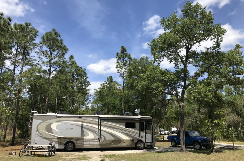
Cheyenne Mountain State Park, Colorado Springs, Colorado
Better a poor man whose walk is blameless, than a rich man whose ways are perverse. ~ Proverbs 28:6
WARNING! This is a really long post, and not because there are a million and one pictures. There’s just a lot of information. But I don’t want to mislead you. There are still quite a few pictures. 😊
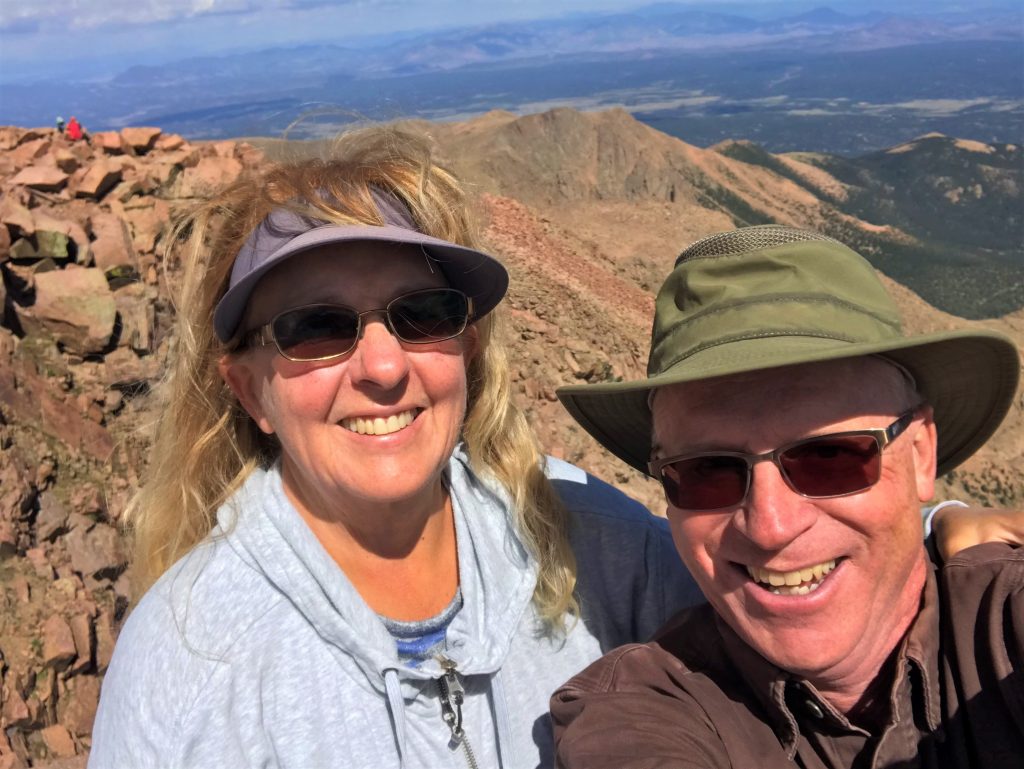
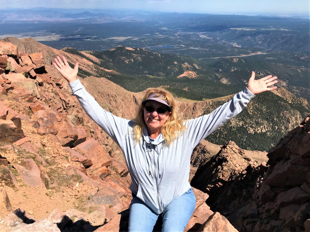
We got up this morning and determined that today would either be a drive to the top of Pikes Peak, or down to the Arkansas River area. Even though we were experiencing fog so thick it covered the mountain, the camera on top of Pikes Peak revealed skies that were mostly clear and bright, so we gave it a shot. What a gorgeous day we had!
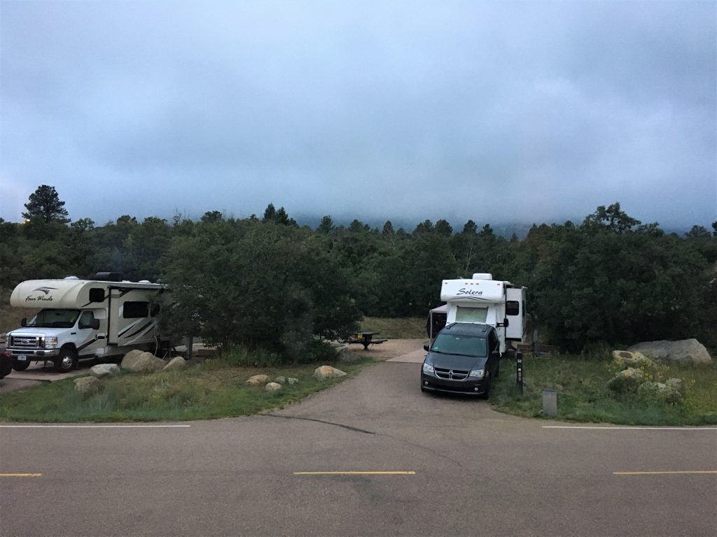
This morning 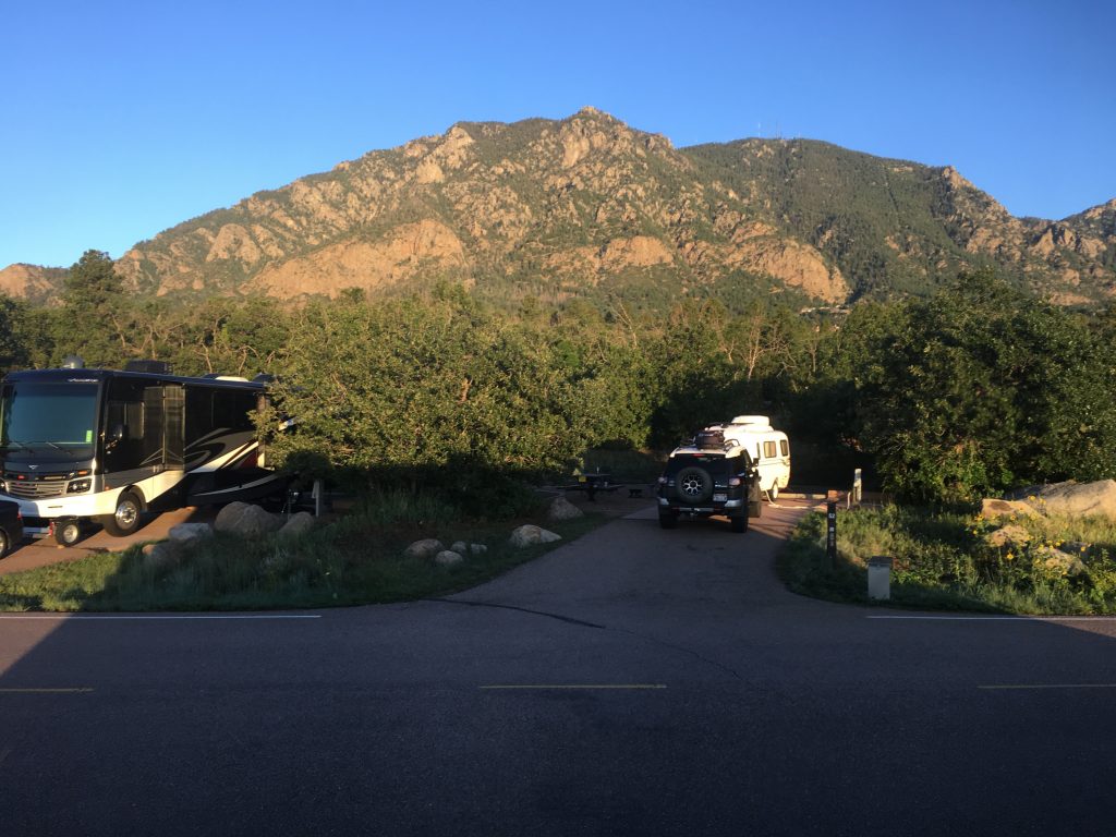
Our first morning
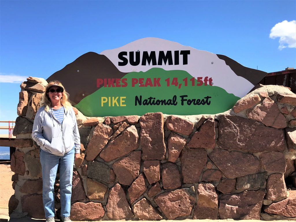
Although it can’t claim to be the tallest peak in Colorado (at 14,115’ it doesn’t even make the top ten, but falls in at #32) – that distinction belongs to Mount Elbert in Leadville. However, it is the most famous and has the privilege of being dubbed “America’s Mountain”. You may wonder, as we did, why? Here’s what I found about that:
Sometimes called “America’s Mountain,” Pikes Peak has been an icon of the dramatic scenery in Colorado and the American West. It has inspired literature and countless paintings, pamphlets, photographs, and souvenirs. It became a leisure destination for thousands each year. One particularly influential visitor was Katharine Lee Bates. After ascending Pikes Peak in 1893, the poet and Wellesley College professor was inspired to compose the lines that later became the lyrics to “America the Beautiful.” Bates’s poem encapsulated the industrializing nation’s nostalgic attitude toward nature and, once set to composer Samuel Ward’s melody, helped make spectacular western scenery a cornerstone of American patriotism. Pike’s Peak is America’s “purple mountain majesties.” ~ coloradoencyclopedia.org
Below, is the history I dug up on this mountain yesterday, taken from both Britannia.com and coloradoencyclopedia.org:
Following the Louisiana Purchase in 1803, Pikes Peak became part of the United States. In 1806, Lieutenant Zebulon Montgomery Pike, after whom the peak is named, was sent on an expedition to locate the headwaters of the Arkansas and Red Rivers. The expedition also aimed to explore the new territory and its natural resources, as well as establish friendly relations with Native American nations. On November 15 he spotted the magnificent peak and referred to it as “the Grand Peak.” Hoping to get a better view of the surrounding terrain and watersheds, Pike and several of his men tried to climb the mountain on November 26. However, Pike had underestimated its size, and due to the lack of proper gear and to treacherous weather conditions, the climb was unsuccessful. Nevertheless, he and his comrades were the first recorded explorers to attempt an ascent of the mountain. “The Grand Peak now appeared at the distance of 15 or 16 miles from us,” Pike wrote in his journal, “and as high again as what we had ascended, and would have taken a whole day’s march to have arrived at its base, when I believe no human being could have ascended to its pinical [sic].”
Dr. Edwin James made the first recorded summit of Pikes Peak in June 1820. James was part of Major Stephen Long’s expedition, and when the party reached the base of Pikes Peak, James had to convince a tired Long to allow him to climb the massive mountain and record his findings.
Before being officially recognized as Pikes Peak, the mountain had two names—Pikes Peak and James Peak—used interchangeably for almost forty years. Official approval came when US Army explorer John C. Frémont referred to the mountain as Pikes Peak in sketches on maps he published prior to the California Gold Rush.
Pikes Peak was also a symbol for emigrants coming west during the Colorado Gold Rush of 1858–59. Beginning in 1858, prospectors from all over the United States migrated to the region, hoping to strike it rich. Emigrants crossing the plains took heart when they saw Pikes Peak on the horizon, as the landmark was a sign that their arduous journey was nearing an end. Some of the argonauts’ wagons sported the phrase “Pikes Peak or Bust.” The slogan was something of a misnomer, since most of the diggings at the time lay considerably to the north. But once coined, the motto stuck, demonstrating the importance of the mountain to the region’s image.
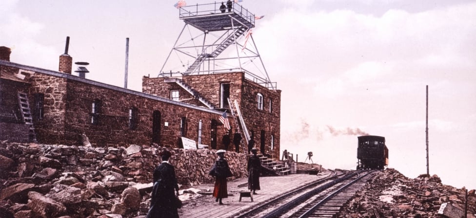
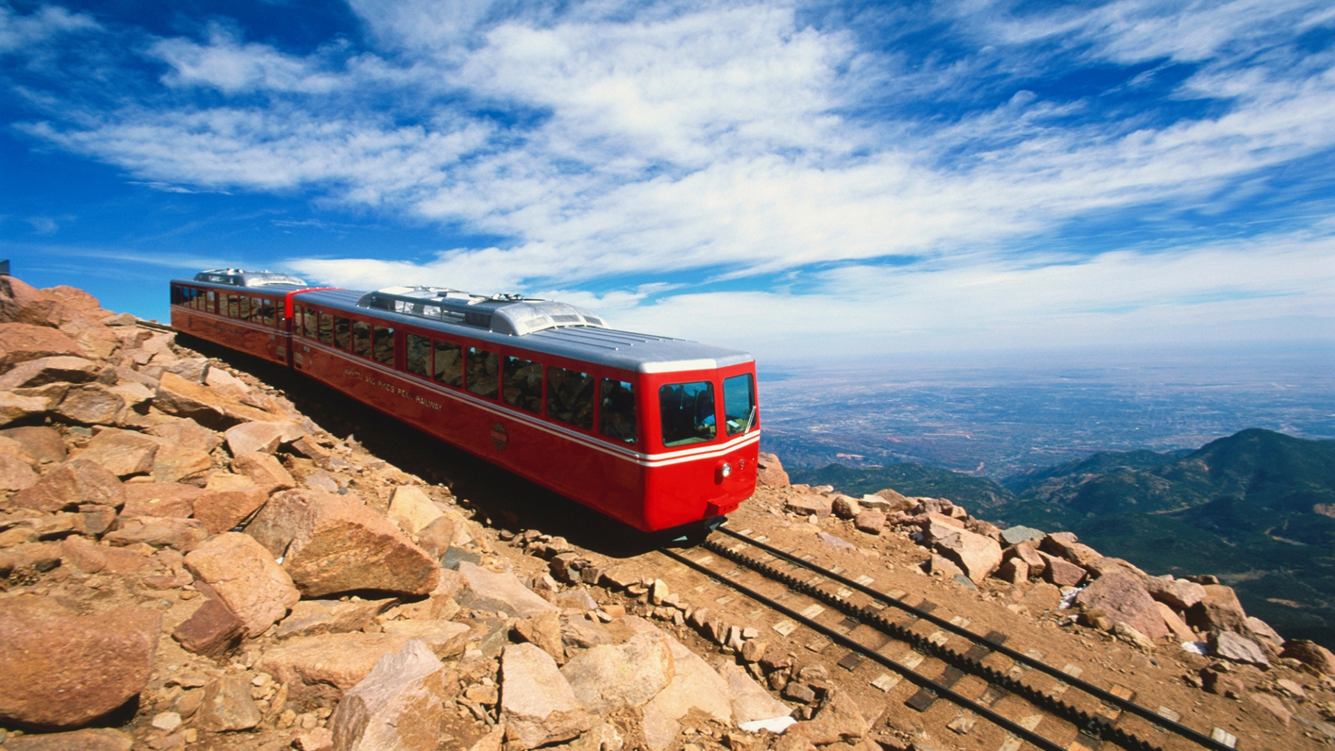
Manipulation of its natural landscape made Pikes Peak a focal point for tourism. In 1888 the Cascade to Pikes Peak Wagon Road was completed, offering carriage rides to the summit for those who did not want to hike or ride horseback. The current highway closely follows the route of this earlier road. In 1890 work began on a cog railway, and was completed in 1891. The Manitou and Pikes Peak Railway Company opened service that carried passengers to the summit in much greater comfort than Zebulon Pike’s party had enjoyed. It still delights tourists today and is the highest cog railway in North America.
So what exactly is a cog railway?, I wanted to know. Well, here’s the answer; it’s a railroad with a toothed central rail between the bearing rails that engages with a cogwheel under the locomotive, providing traction for ascending very steep slopes.
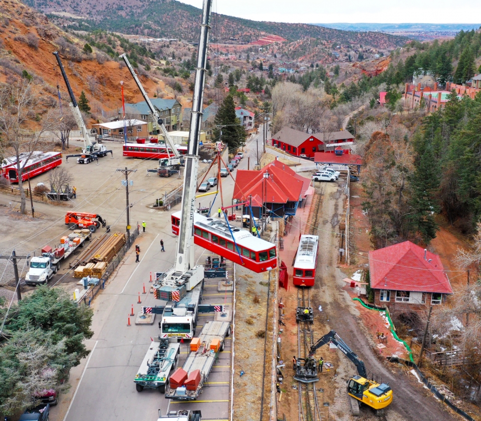
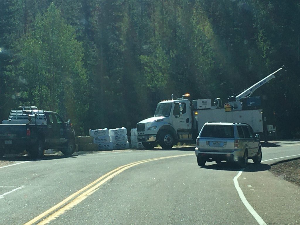
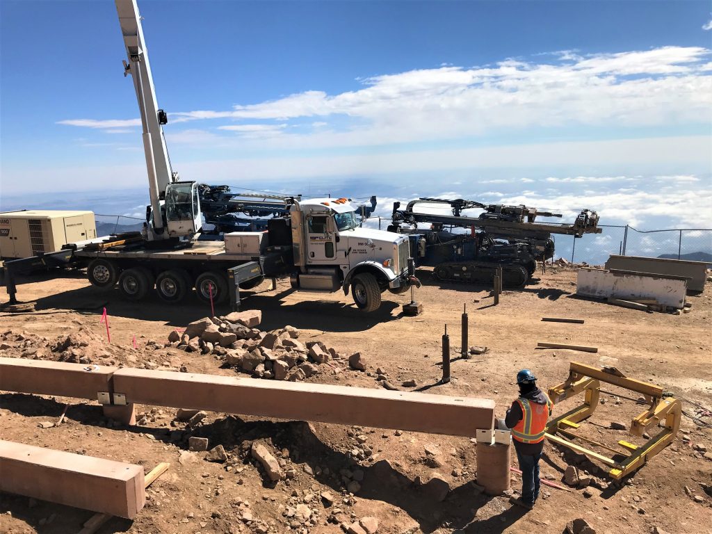
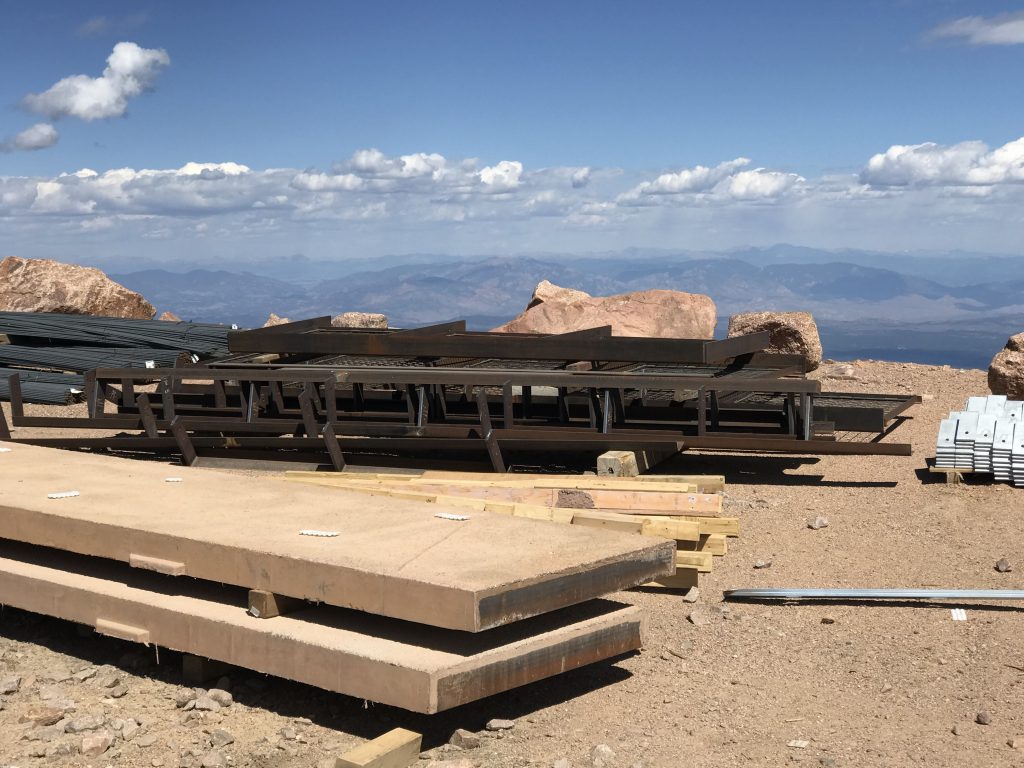
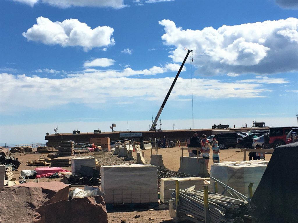
Here’s some information (briefly, aren’t you glad???) and a few pictures of what they’re up to. If you want to keep abreast of their progress, you can Google the cog railway. It’s pretty interesting, because they post a monthly update.
We’ve come a long way since the late 1880s, when tourists rode to the summit of Pikes Peak on a mule. Zalmon Simmons, founder of what became the Simmons Beautyrest Mattress Company, envisioned a more comfortable and civilized journey to the top. In 1889 construction of the cog railway began with 150 men transporting rails, bridge-iron, and tools via wheelbarrows and mules. On the afternoon of June 30th, 1891, the first passenger train, carrying a church choir from Denver, made it to the summit of Pikes Peak by train.
Bringing this iconic experience into the 21st century means more than upgrading to state-of-the-art equipment and infrastructure to get you to the summit of Pikes Peak, America’s Mountain. The incredible views, the beauty of the mountain, those things haven’t changed, but we have. We’re moving into the future by investing 100 million dollars (and three years) and rebuilding the journey from the track up with the most modern, up-to-date experience. Three new trains from Stadler in Switzerland and a new Strub single rail cog system provides a seamless ride. One that takes you on an unforgettable journey. ~ cograilway.com

I don’t know when they made the switch from a steam engine.
Before they began their major overhaul, the track was 4’ 8 1/2” wide and 8.9 miles long and it took 3 ½ hours to complete the round trip scenic ride. (I’m pretty sure part of that time was time to explore the summit.) I don’t know what, if anything, will be different once they complete their project. Oh. And the fare? $38 for adults. Of course, being closed for three years, and spending 100 million dollars, may increase that . . .
Moving on to tourism . . .
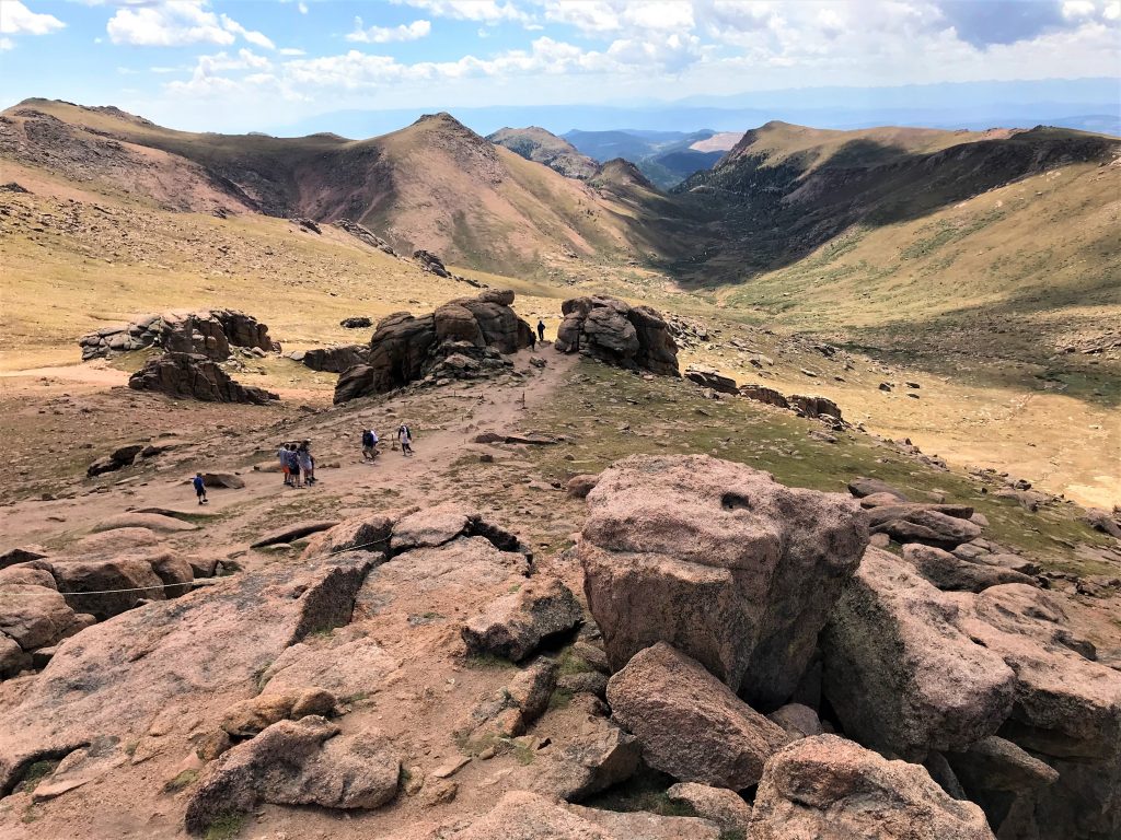
In 1908 local resident and tour guide Fred Barr began taking tourists on burro treks up the slopes of the surrounding mountains, and in 1921 he and a work crew finished Barr Trail, a burro route to the top of Pikes Peak. At an elevation of 10,200 feet, he built a set of cabins and a barn known as Barr Camp. Two of the cabins still stand today.
You can hike the entire Barr trail to the summit, but you’d best be prepared! It’s 26 miles round trip and has an 8,000’ elevation gain!
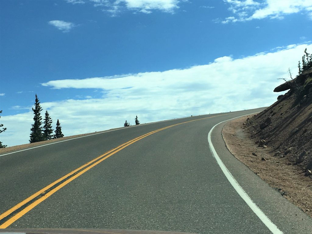
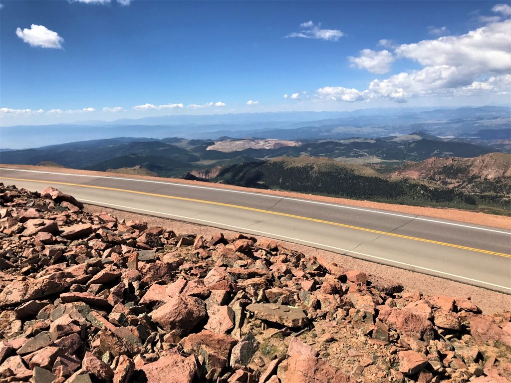
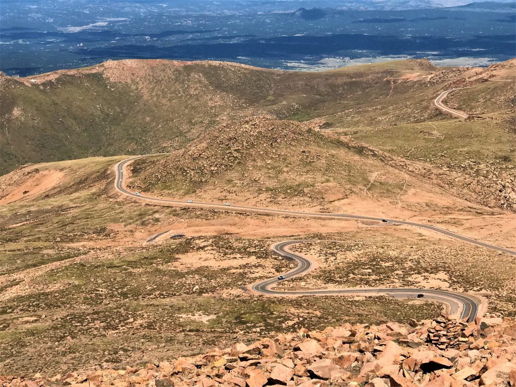
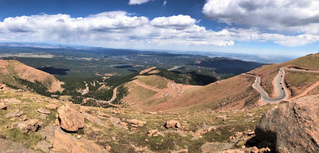
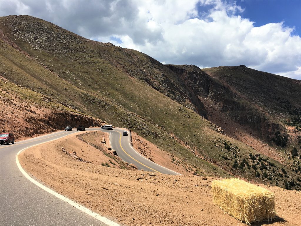
In 1916 the Pikes Peak Highway, closely following the old wagon road, enabled automobiles to reach the summit.
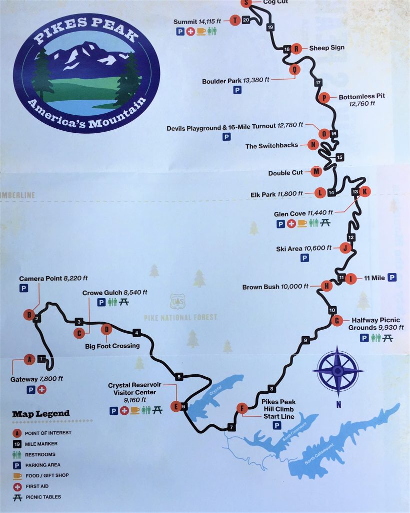
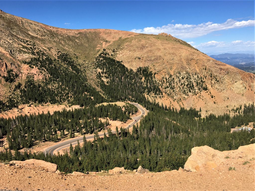
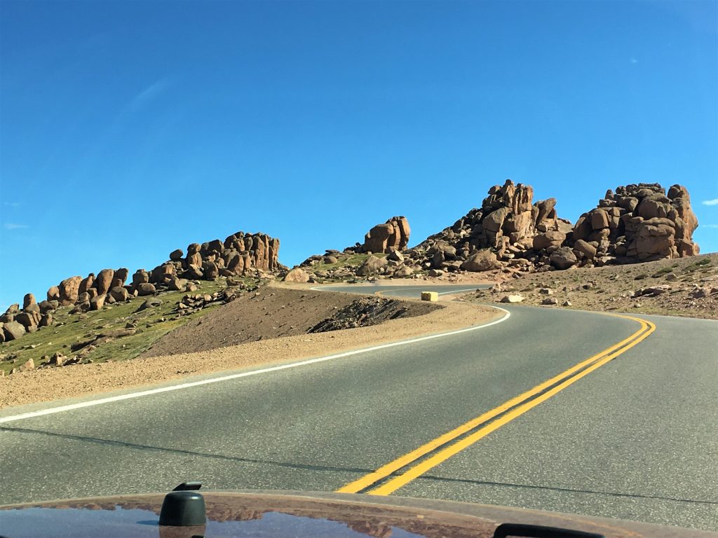
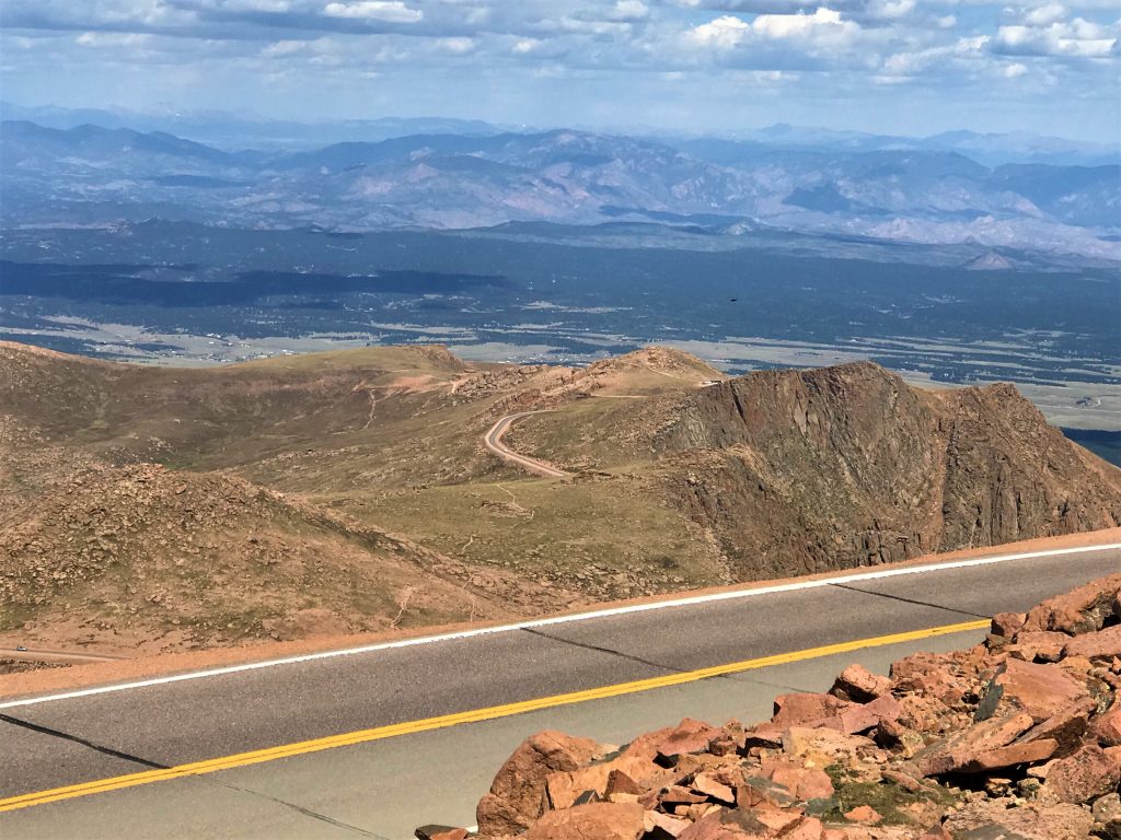
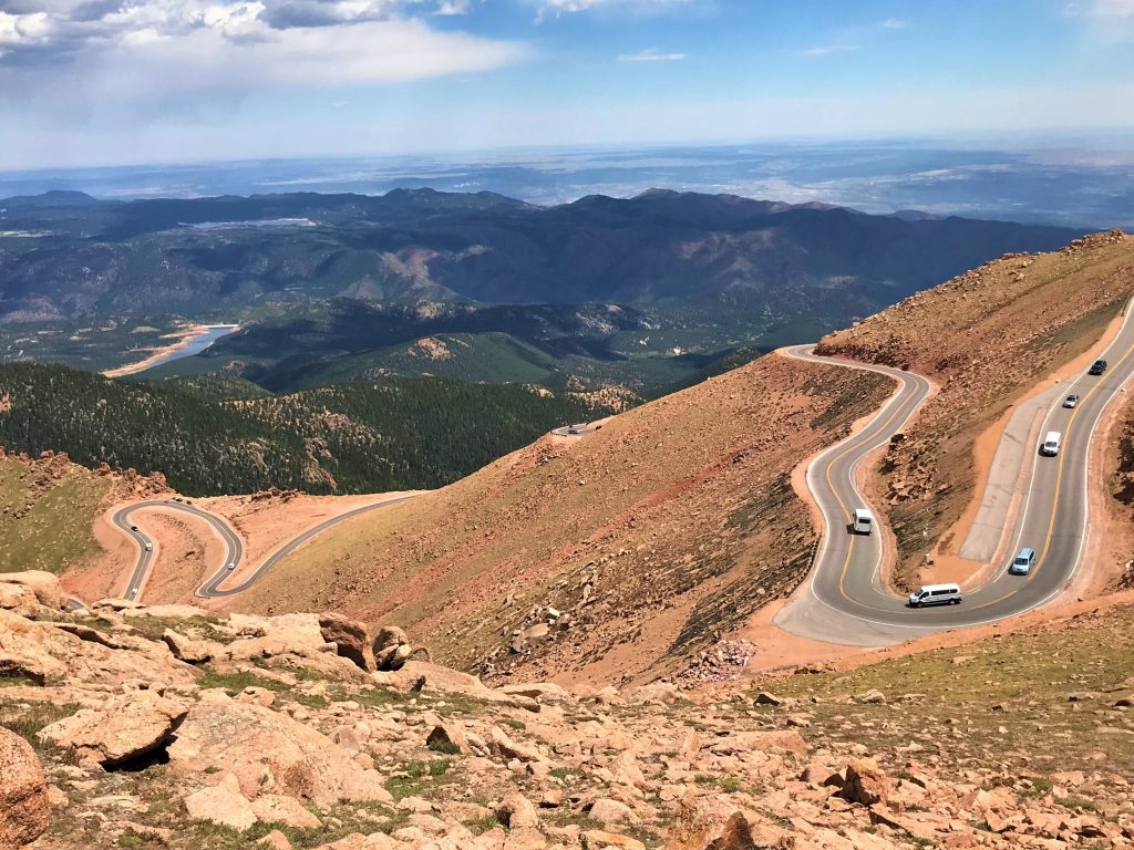
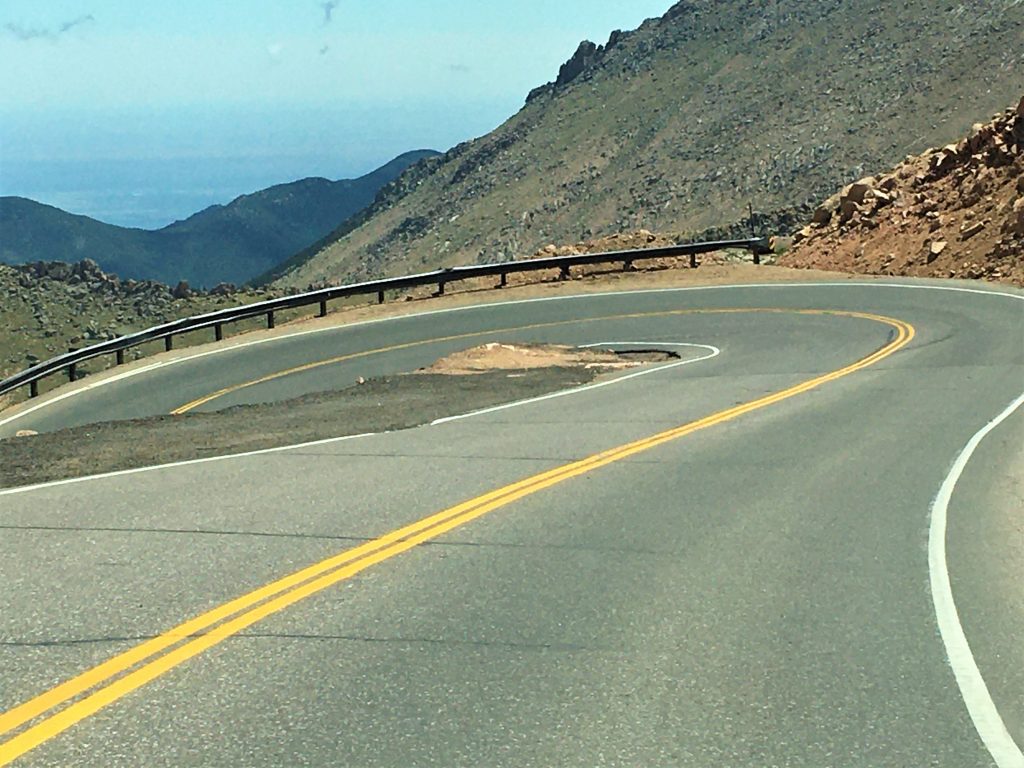
The “official” part of the road is 19 miles long, twisting and turning 156 times up 4,720’ from mile 7-19 on the highway, and includes a 30⁰ temperature difference.
I tried to find pictures of them building the original road back in the day, but either they don’t exist, or I wasn’t asking the right question. : (
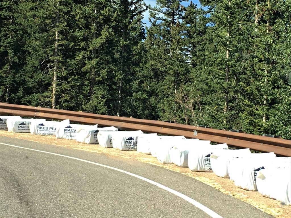
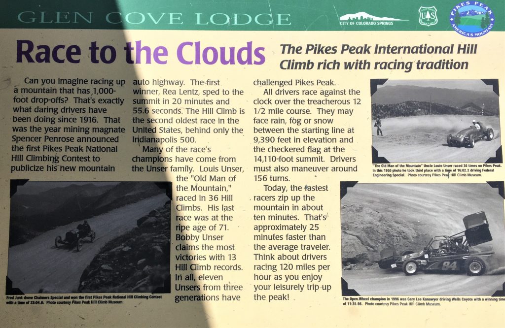
In 1922 a booster promised visitors, “The maximum grade [of the mountain] is ten percent; all makes of cars make the trip, but your car does the best, no matter what kind of car you drive.” With the development of the highway to the summit, racers were more interested in speeding to the top. The Pikes Peak International Hill Climb is an individual auto race in which drivers’ times determine the winner.
I’ll cover the Hill Climb race later in today’s edition.
The Pikes Peak Highway, however, brought some negative environmental impacts to the surrounding areas, most notably in the Severy Creek Basin. Runoff from the highway dramatically increased erosion, washing millions of tons of sediment into nearby drainages. In 1998 the clogged streams and wetlands prompted the Sierra Club to file a lawsuit for violations of the Clean Water Act. The lawsuit initiated a program to pave the road all the way to the summit and implement erosion control structures. The project was completed in 2011.
Can you believe it took until 2011 to pave this road?!? And they raced cars on it?!?
The Rocky Mountain Field Institute then began work to reverse the damage caused by the massive erosion.
The establishment of the highway also facilitated scientific research. From the base to the summit, the efficiency of engines diminishes drastically. In 1918 Sanford Moss used Pikes Peak for engine research to design an airplane engine that could withstand greater altitudes. He increased air injection to the engine to make up for the lack of oxygen at the high altitudes. More efficient aircraft engines were eventually created thanks to his research.
Over time, Pikes Peak became a source of great wealth. The more than 600,000 people who reach the top enjoy the Summit House’s gift shop, observation deck, and restaurant (famous for its donuts enhanced by high-altitude effects on baking). In addition to the cog railway and highway, the mountain hosts biking, running, and even skateboarding races. Hiking, fishing, and other outdoor activities attract visitors to its slopes.
There’s an extreme trail you can access from Manitou Springs, called the Manitou Incline. It was originally built as a cable car to carry pipes to the top for use on Pikes Peak. It’s all a little confusing when you talk about where it is though. It sounds like it goes to the Summit of Pikes Peak, but it doesn’t. It goes to the summit of one of the “hills” that make up the entire mountain of Pikes Peak. Once it served its purpose, the track became a tourist attraction, until a rock slide damaged it in 1990. The rails were removed, but the railroad ties remained, and locals began walking up them for exercise. In February 2013, it became an official trail, and athletes from all over the world come here to train. Within the ¾ mile trail, the Manitou Incline gains 2,000 feet in elevation. The average grade for the trail is 45 percent and, in some places, it is as steep as 68 percent. There are 2,744 steps. The male record holder reached teh summit in 17:45 and the female holder did it in 20:07! Sorry, we’ll not be attempting it, but I’ll be happy to show you why, just in case reading about it doesn’t quite capture it for you – – you know the saying, “A picture’s worth a thousand words.”

Colorado Springs realtors and local economists have credited Pikes Peak with drawing new residents to the region. The mountain is estimated to add roughly 15 percent to the value of any house with a summit view, and it attracts a highly skilled labor force that is willing to accept salaries below national averages just to live and work near the peak. In 2008 a writer for the Colorado Springs Business Journal speculated that “America’s Mountain” added $8.4 billion to the local economy.
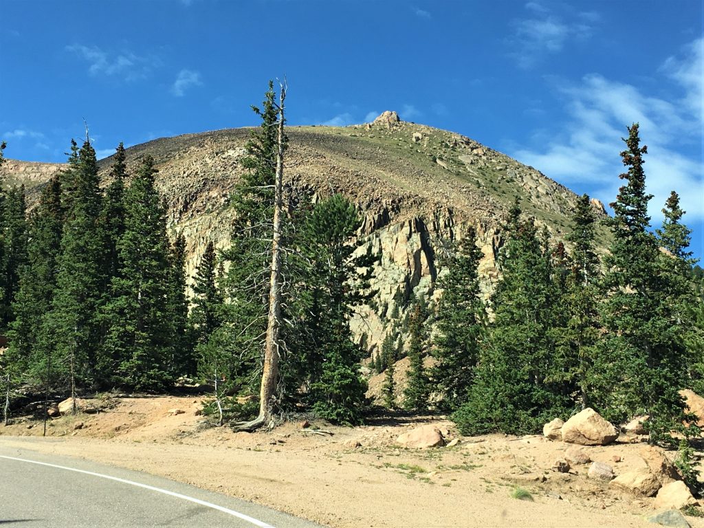
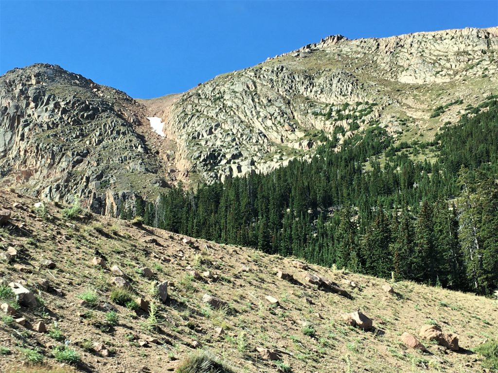
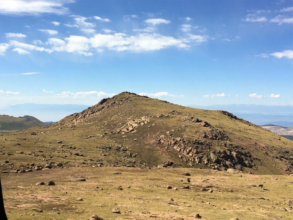
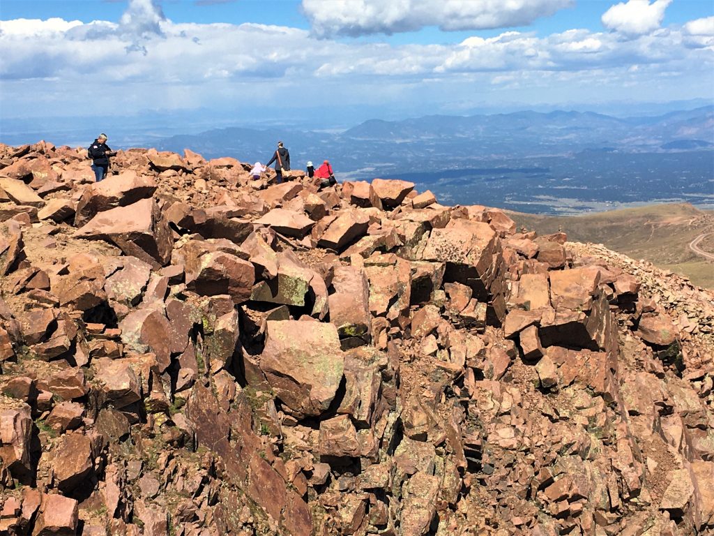
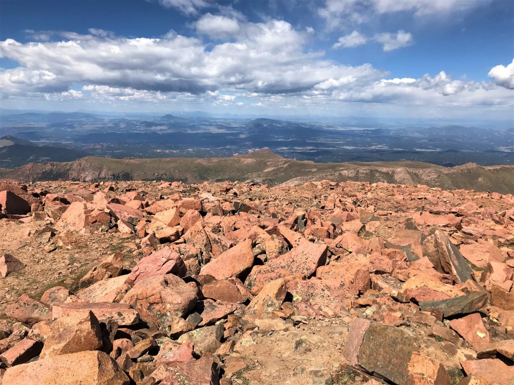
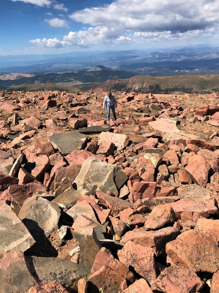
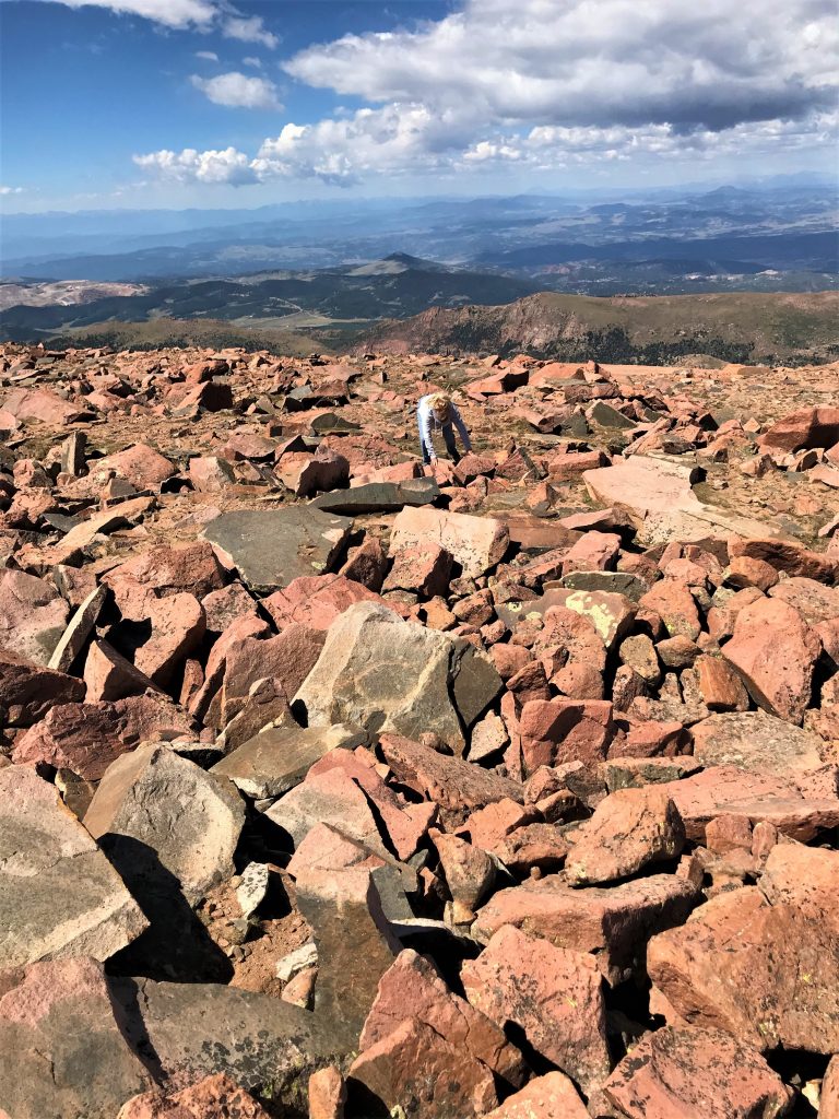
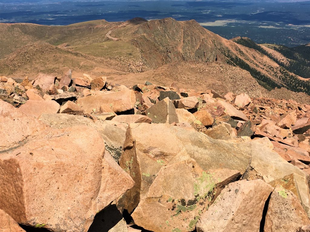
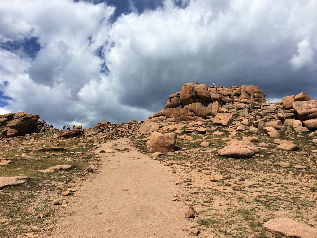
The summit has a fairly level area of about 60 acres, and receives an average snowfall of about 9 ½- feet on the northern slope and 14-feet on the southern, which assures good skiing conditions. Plus the timberline sits between 11,400’ and 12,000’, which means there’s 2,500’ of bare granite.
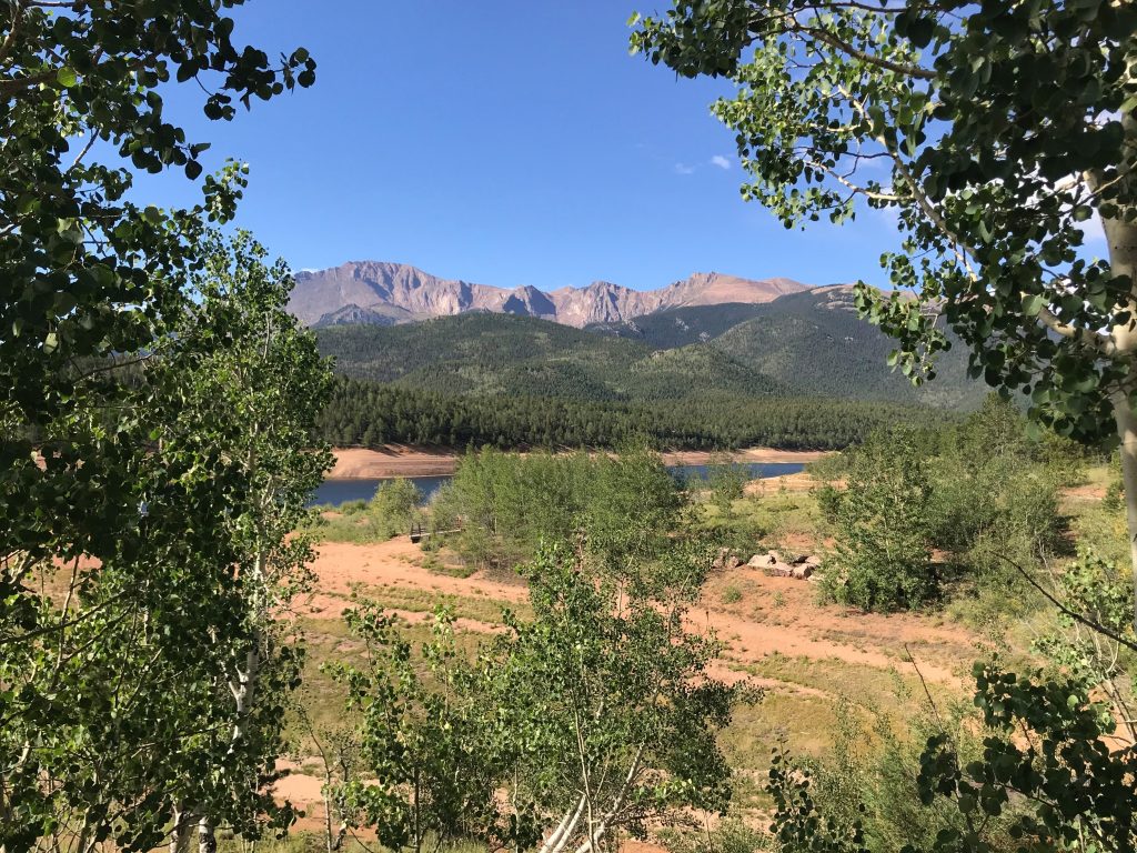
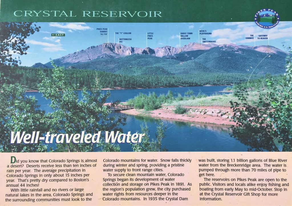
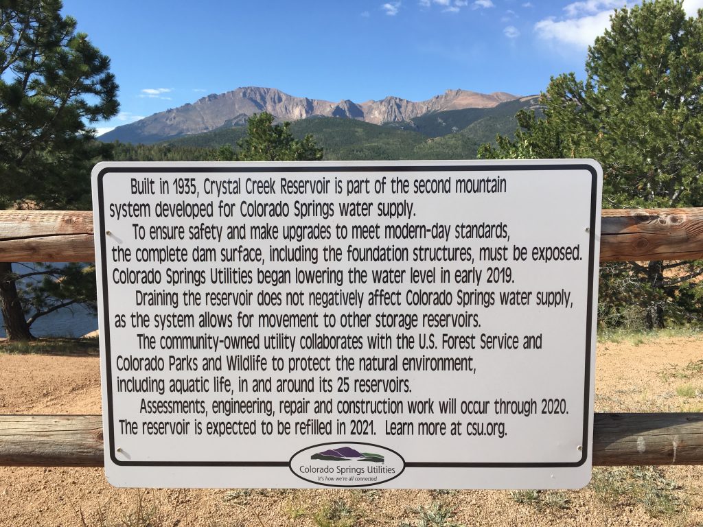
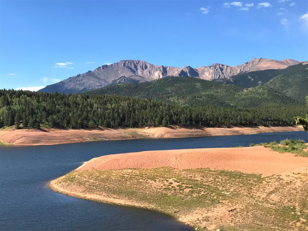
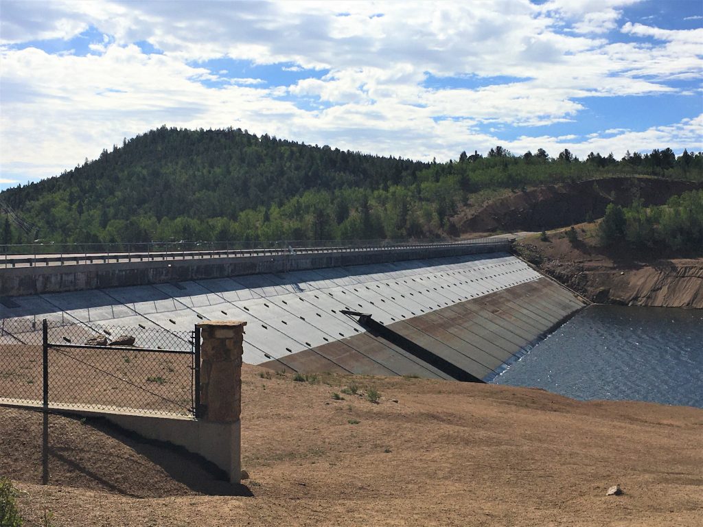
And one final note; Colorado Springs draws its main water supply from the Pikes Peak Watershed.
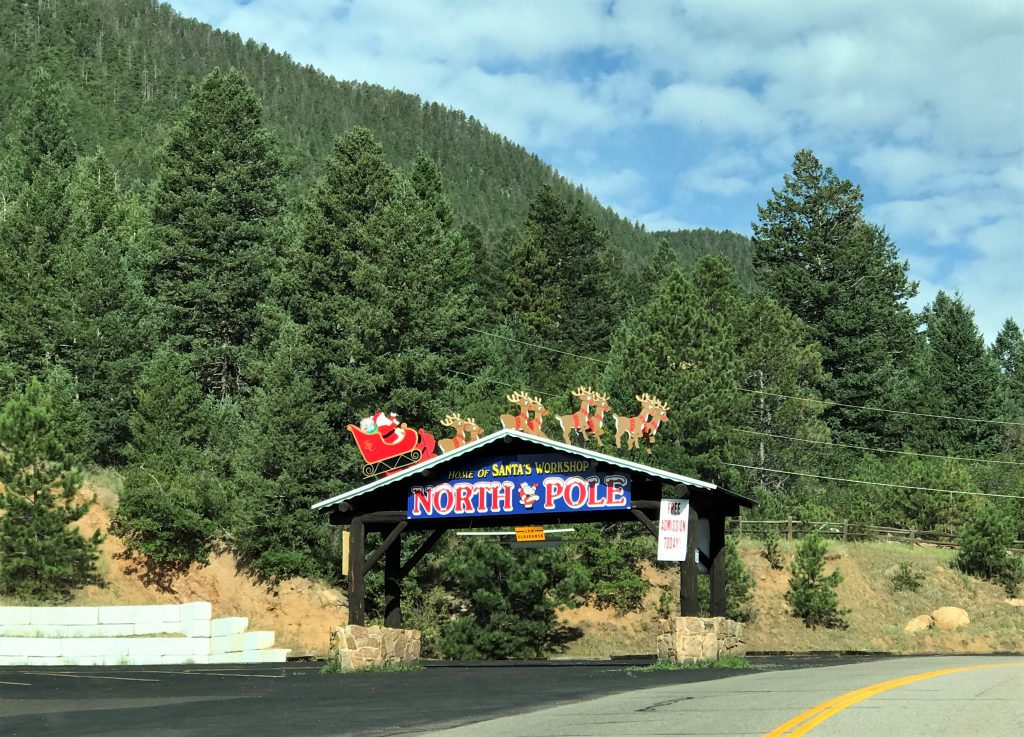
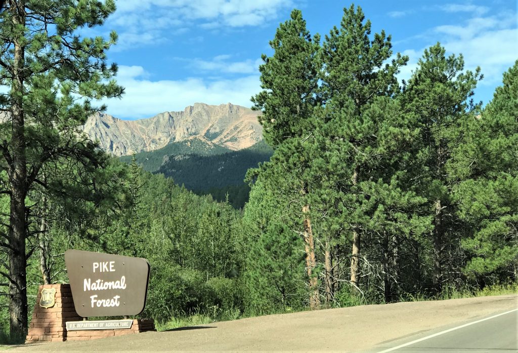
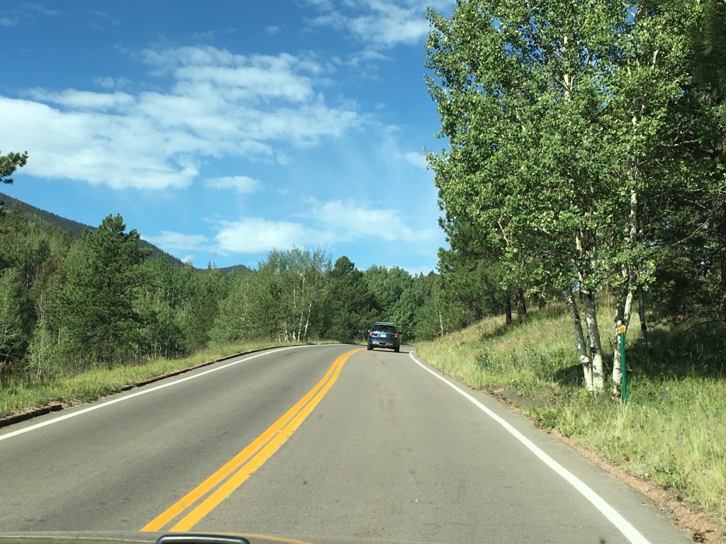
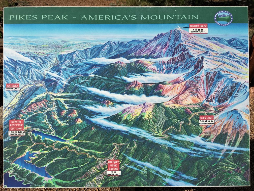
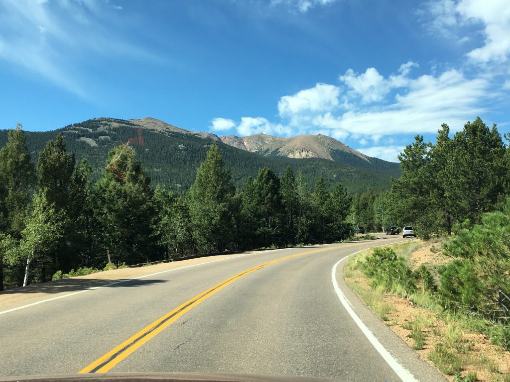
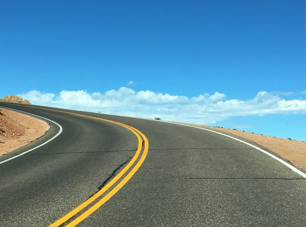
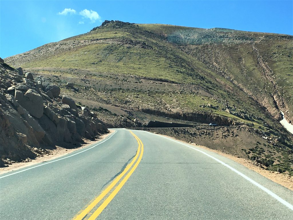
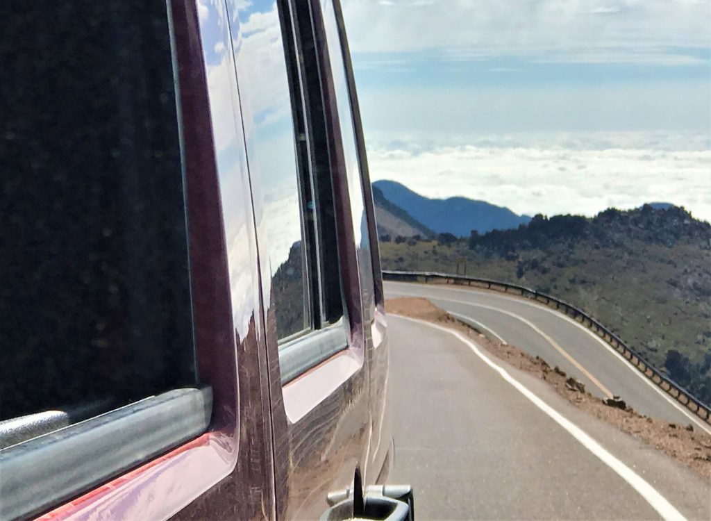
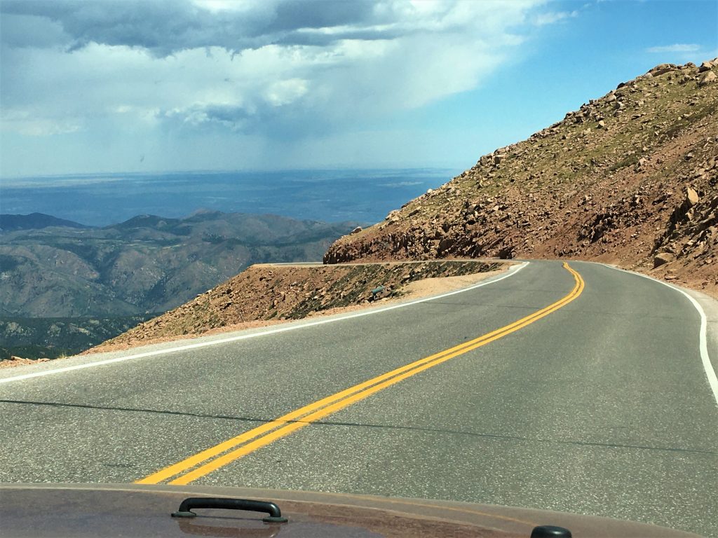
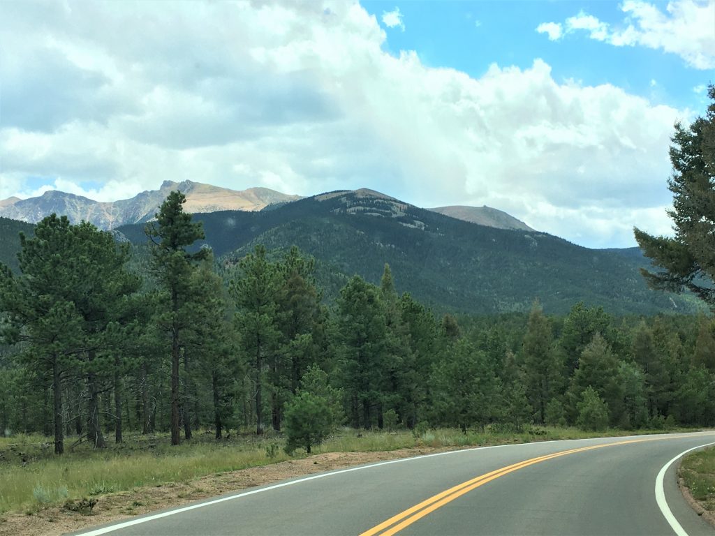
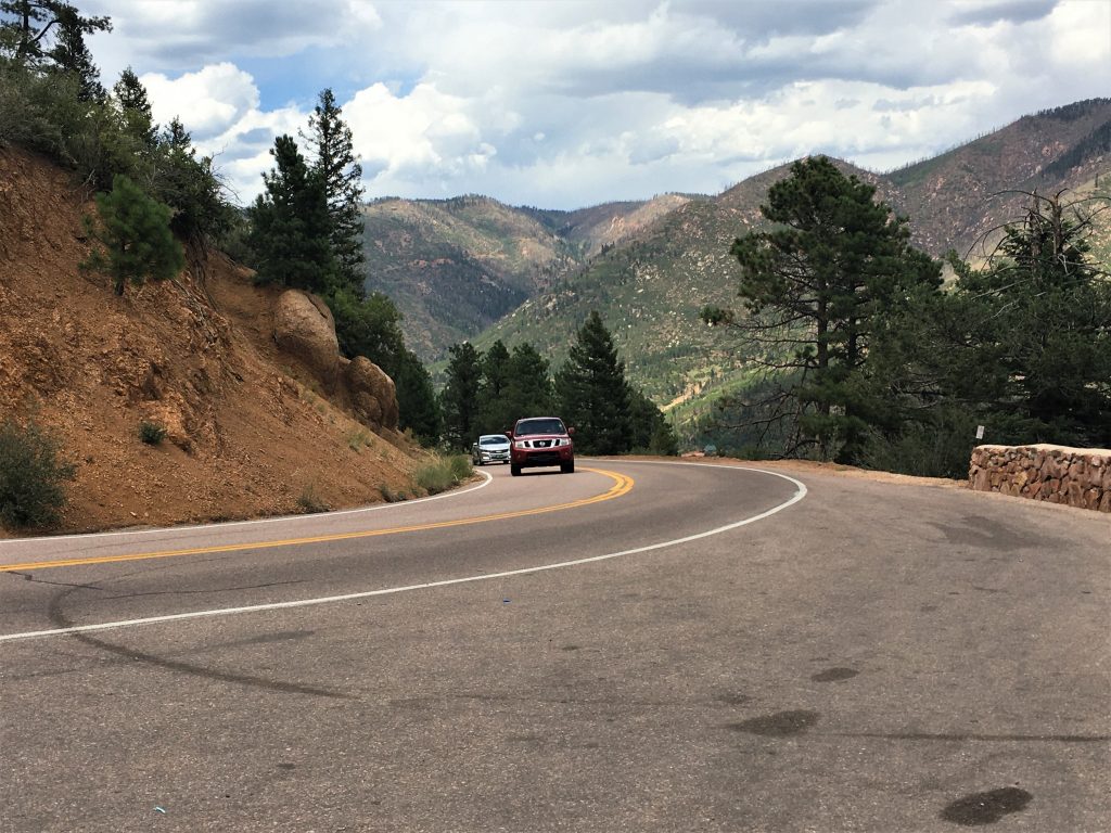
It’s about an hour drive from where we’re staying to the beginning of the Pikes Peak Highway, going by way of the North Pole, but once you’re on the highway, it’s a steady ascent to the top.
It sure seems like a lot further away than just a few miles!
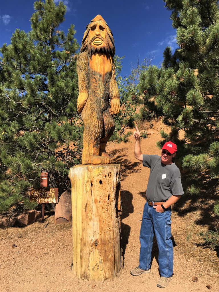
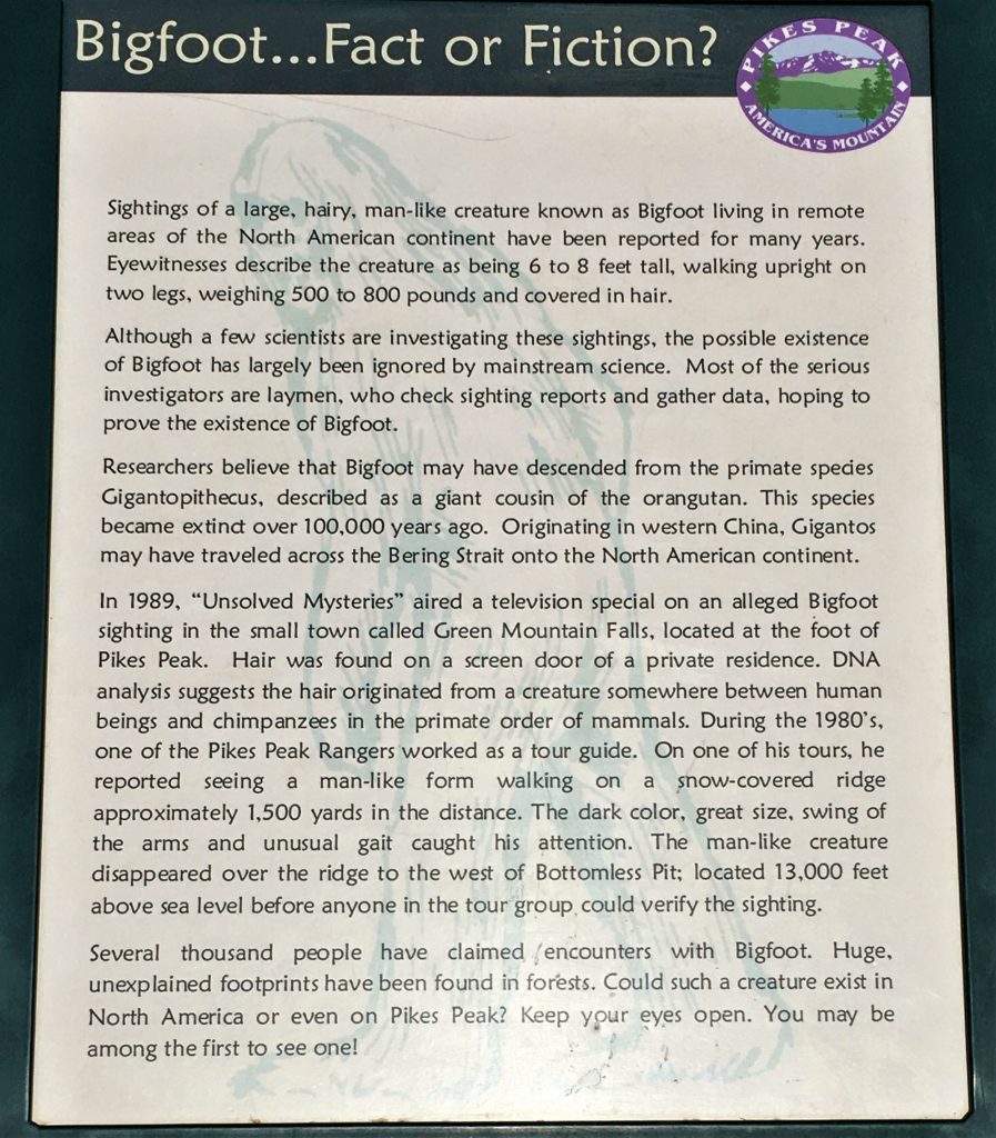
We made a stop or two along the way, and enjoyed a few smiles. I know some don’t find it as humorous as we did, but we’re of the opinion that Bigfoot is a myth. Granted, it’s a good story, but we think that’s all it is. Still. We can’t explain the sightings people have had, so we don’t smile too much. At least not where people can see us. 😊
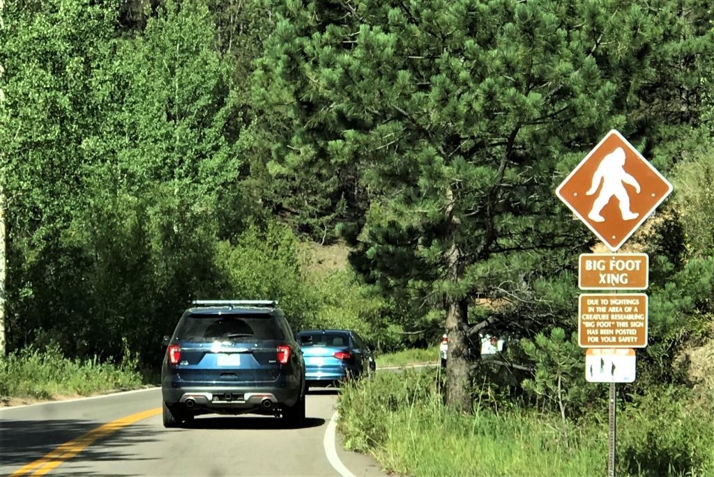
“Due to sightings in the area of a creature resembling “Big Foot”
this sign has been posted for your safety.” Hahaha!
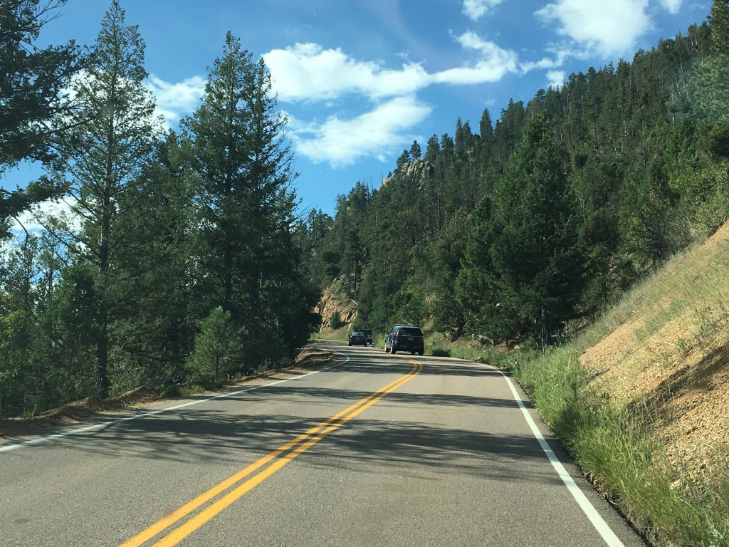
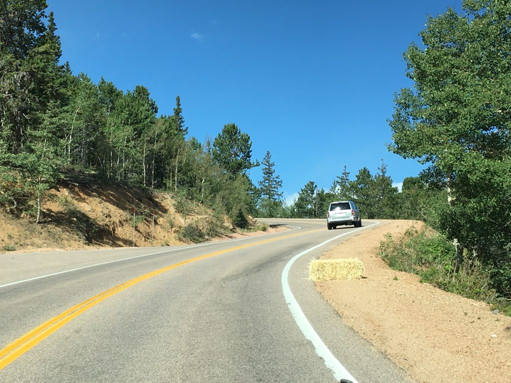
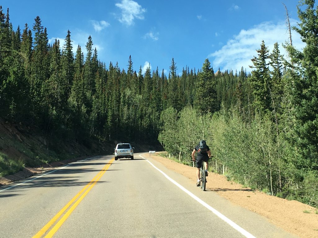
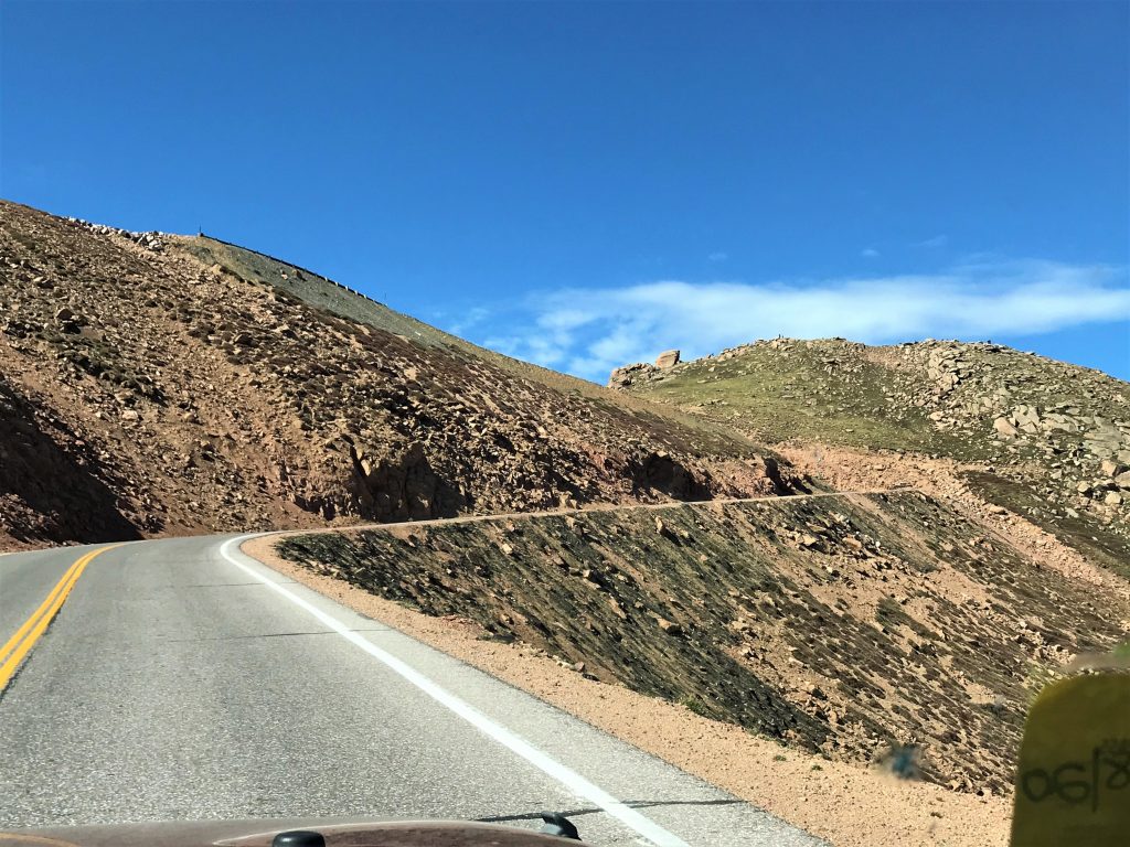
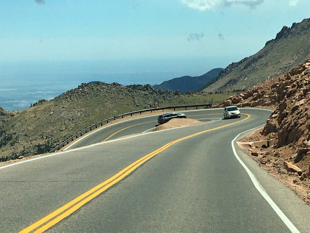
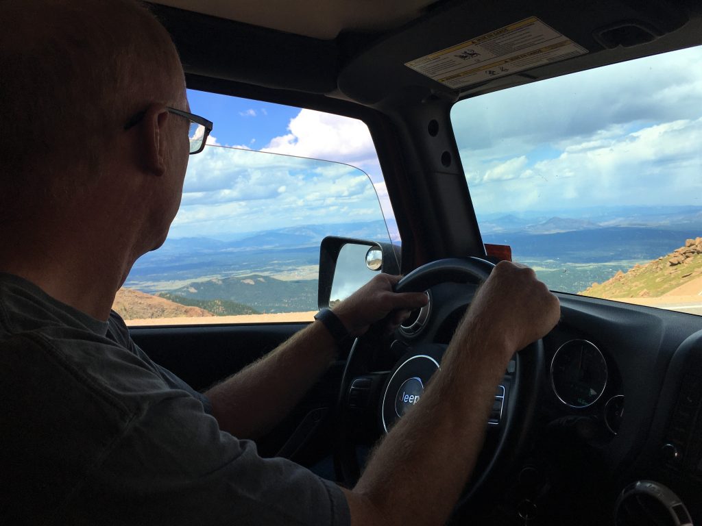
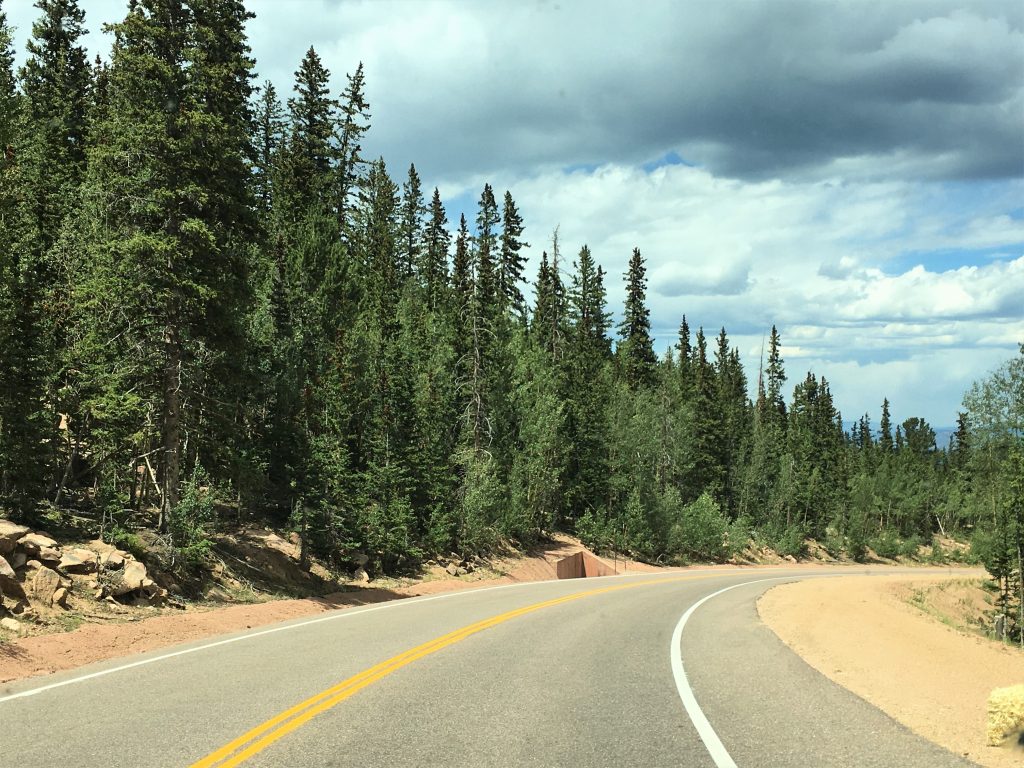
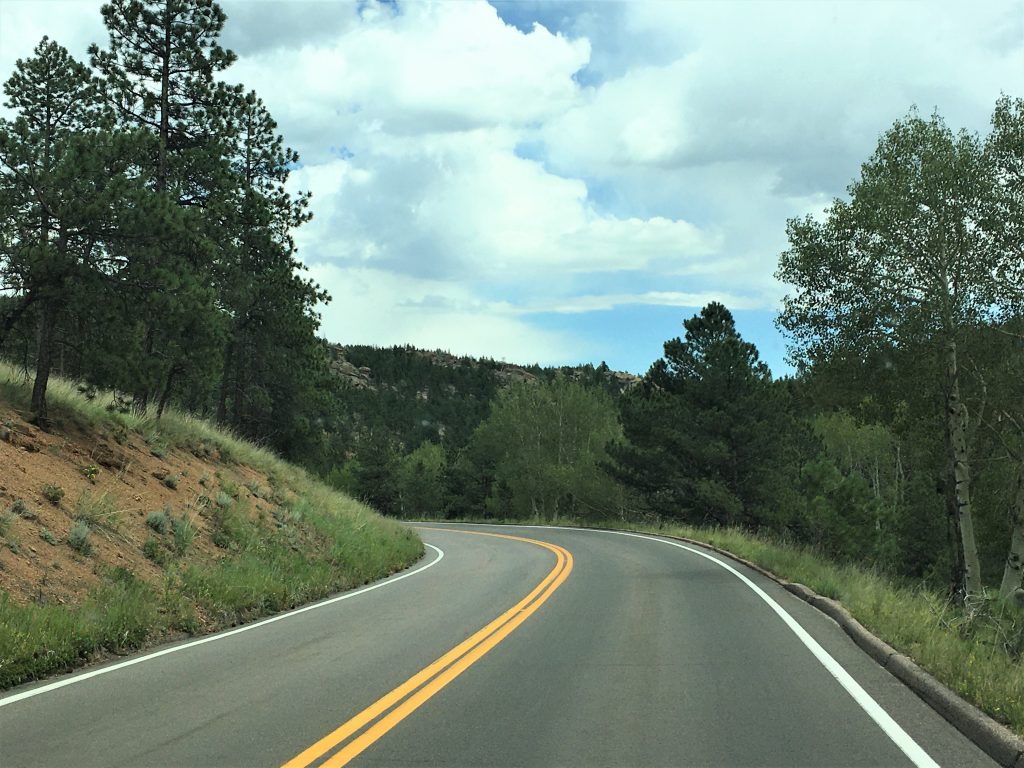
And now, we begin our drive in earnest. To a point.
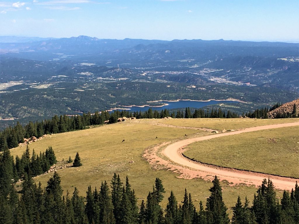
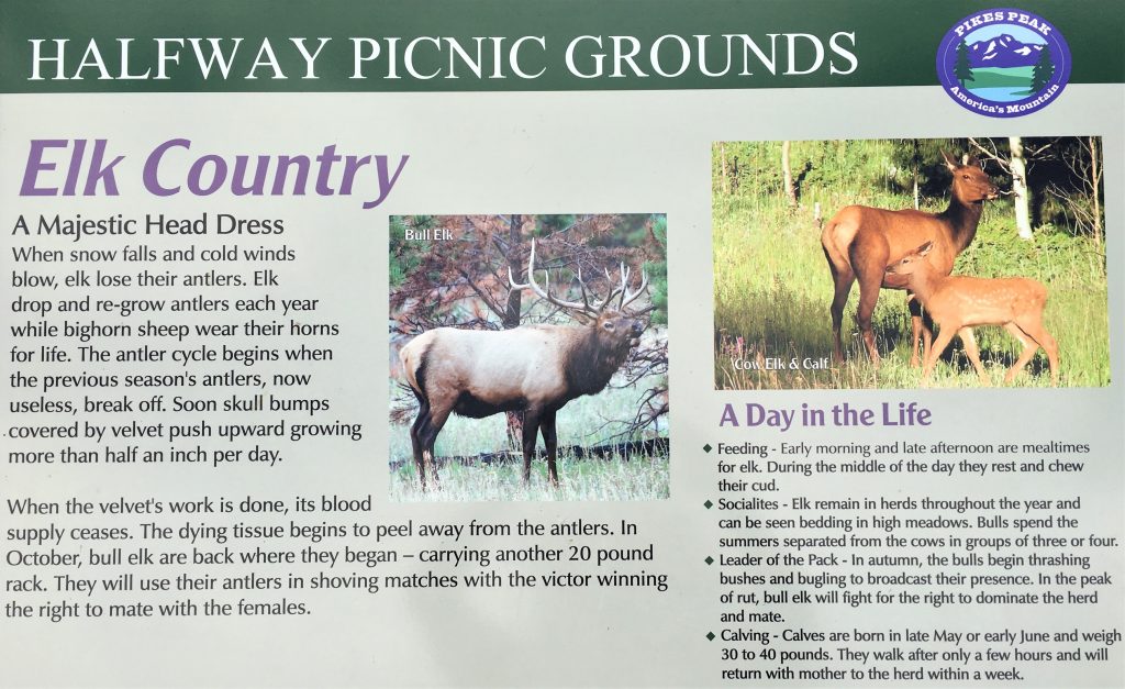
Just because I want it to be so, I’m going with elk. : )
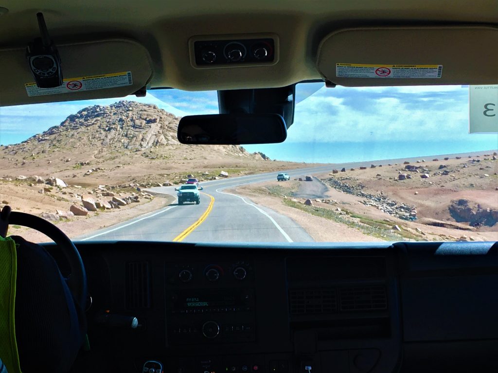
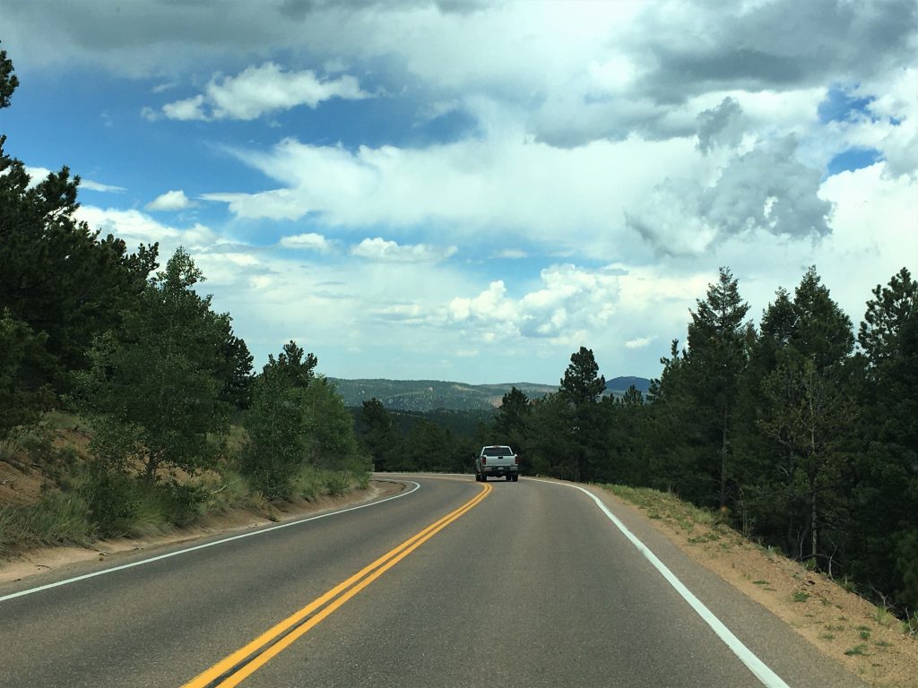
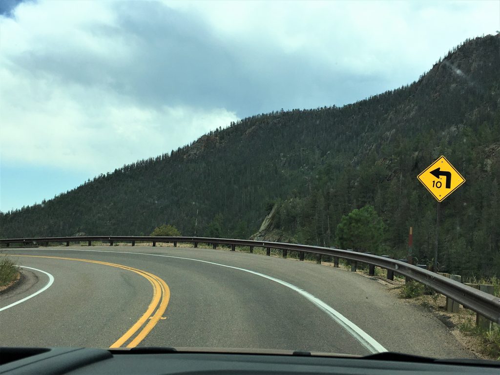
They actually handle it all really well! And fast!
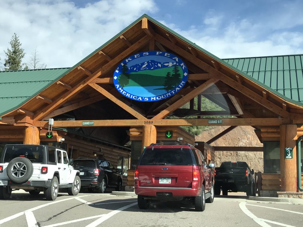
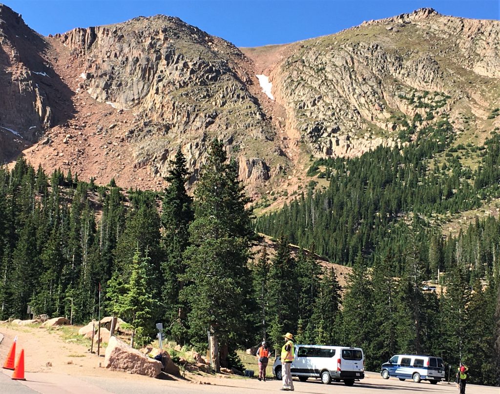
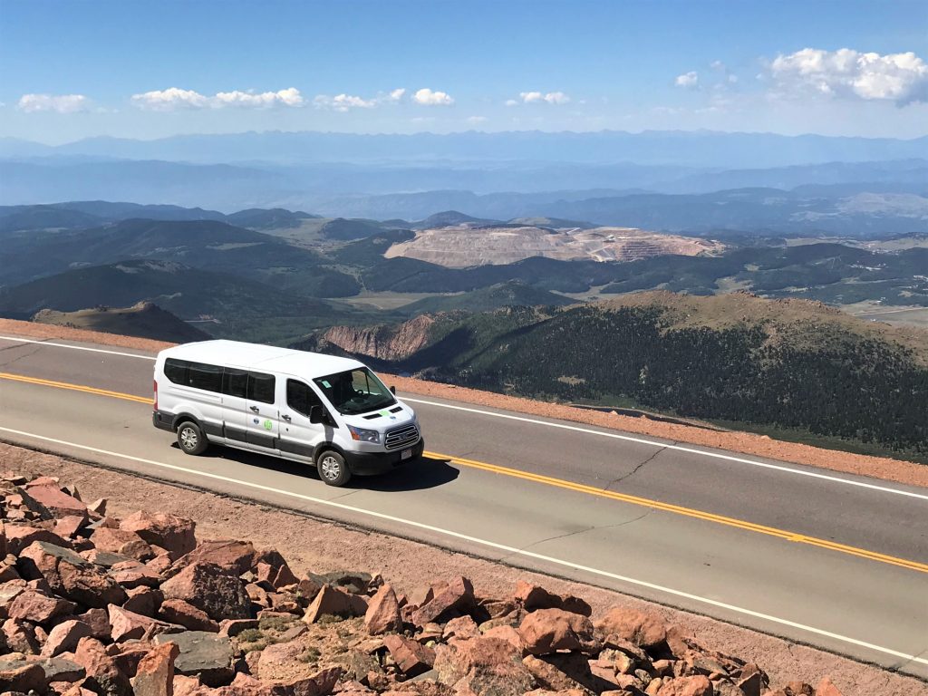
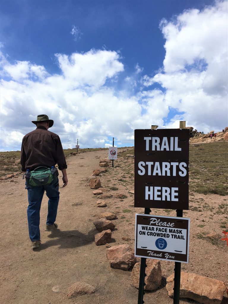
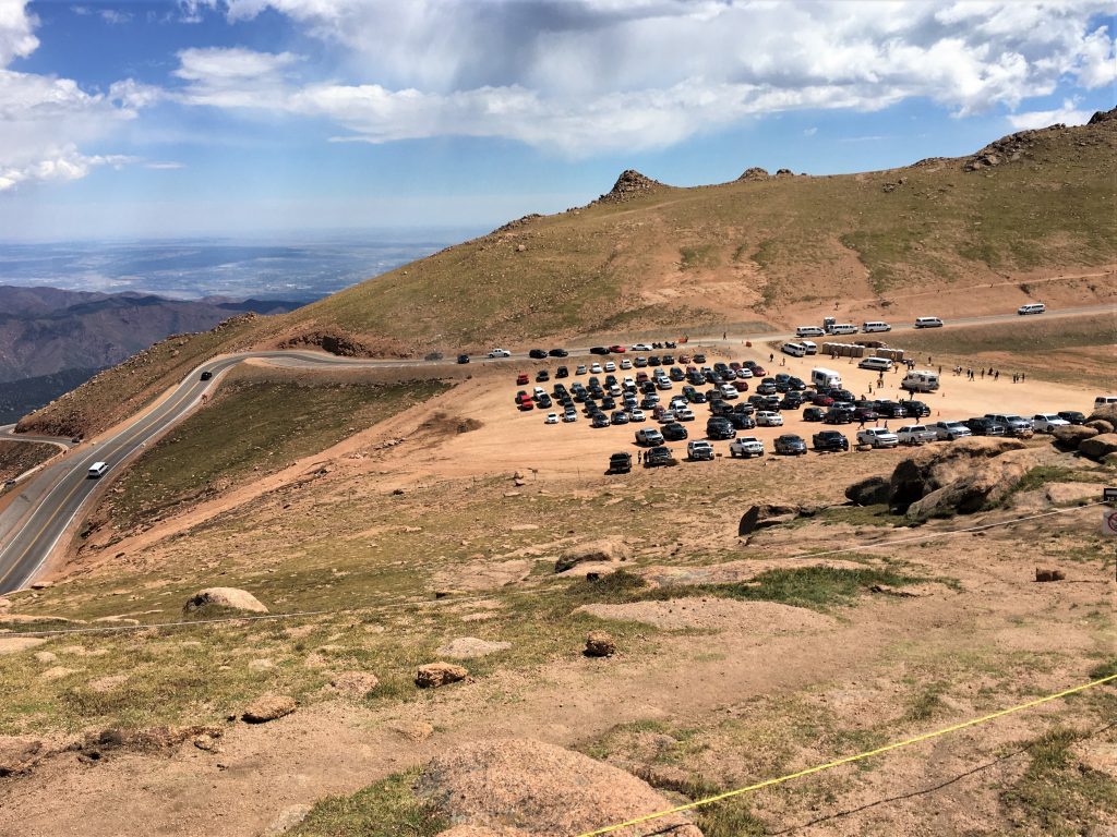
Because of the massive construction projects at the top, everyone has to leave their vehicle at either Mile 13 or 16 and take the free shuttle van. Because of the whole COVID thing, they pack them light and everyone is required to bring a mask and wear it. Also, no dogs are allowed on the shuttles. I don’t know what they do about legitimate seeing-eye dogs, etc.
As we parked the Jeep at mile 16 for our transportation to the summit, Blaine received an unexpected phone call. The guy who bought his 1996 Ford Ranger back in 2014 calls from time to time to update Blaine on how well the truck’s holding up. Today’s call? The truck’s got 220,000 miles on it!
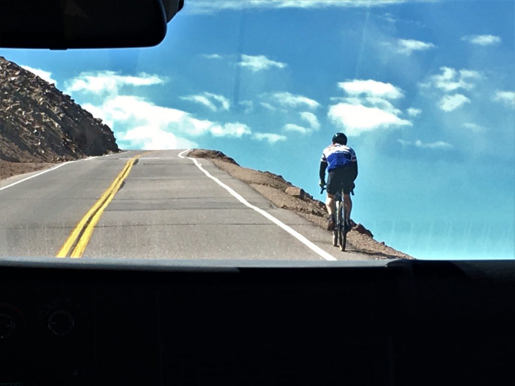
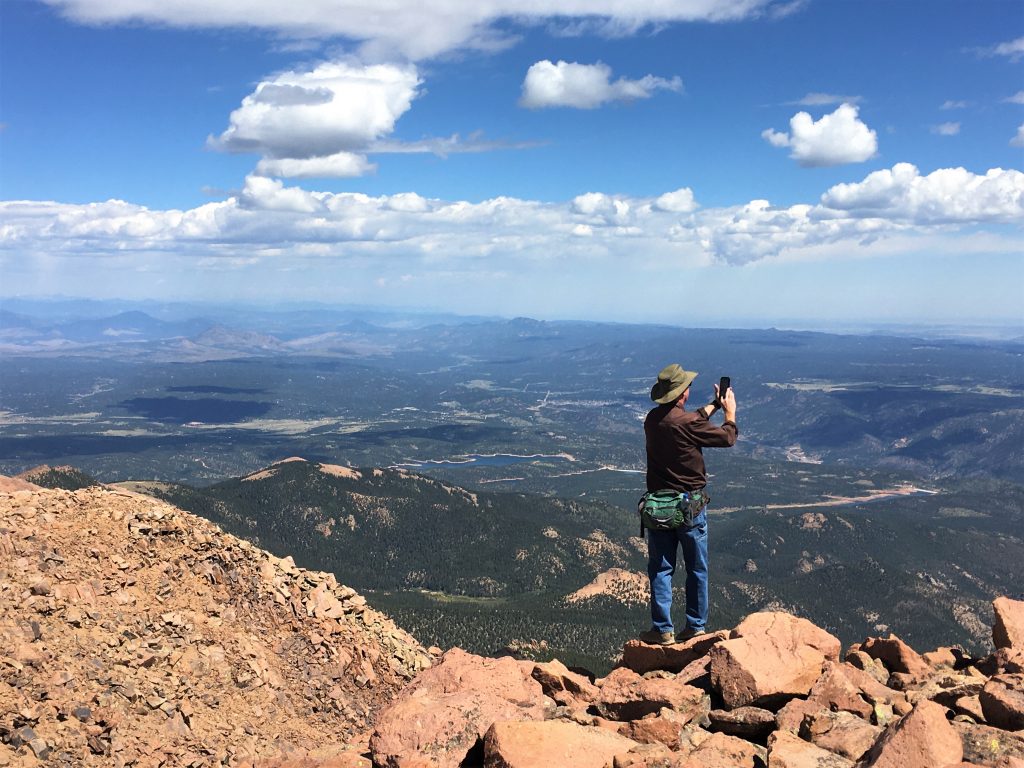
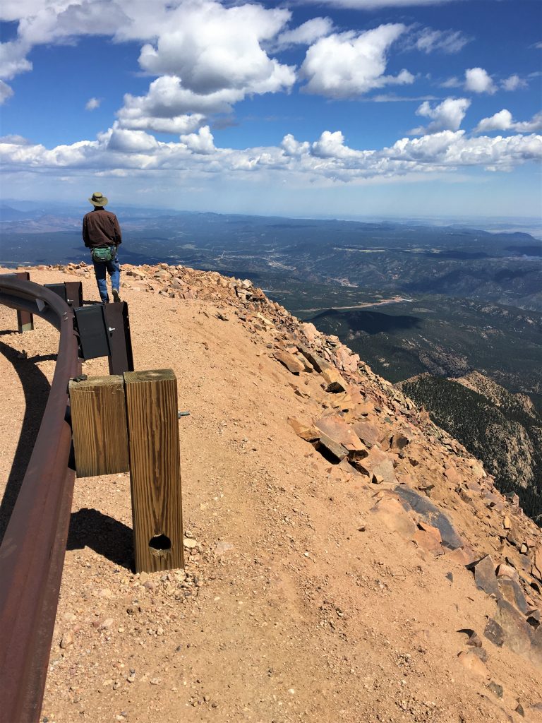
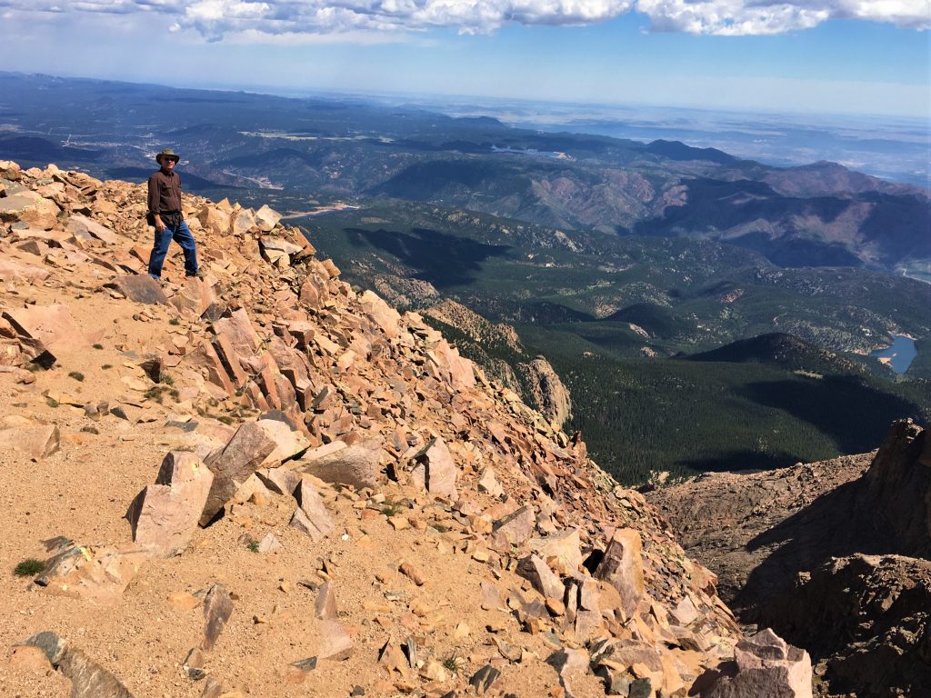
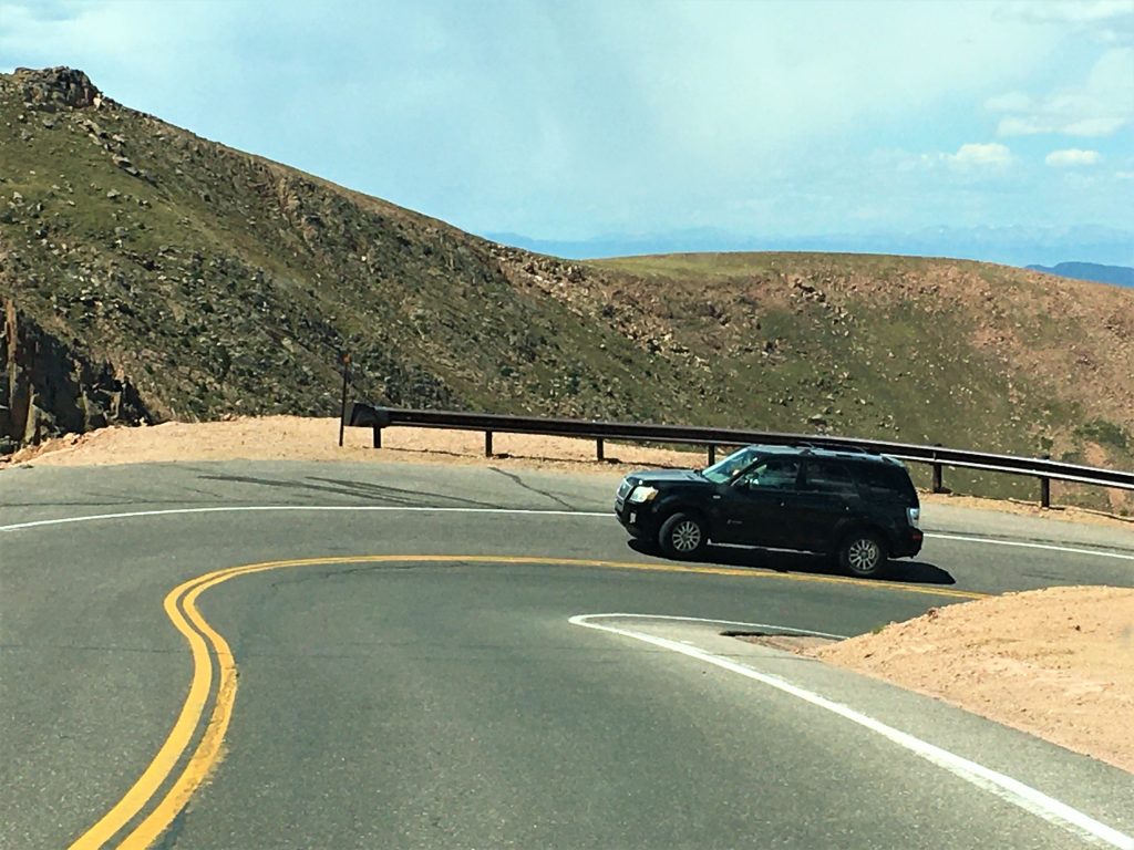
Oh! My! Goodness! Just look how close to the edge he is!
That’s about the scariest thing I’ve ever seen!
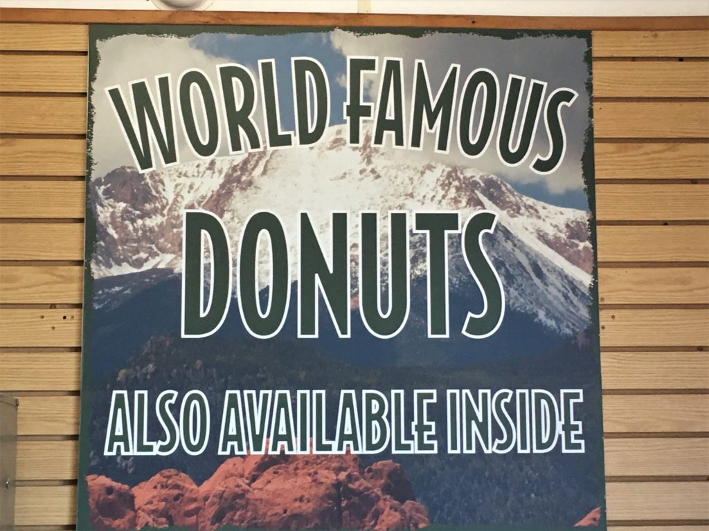

Of course, I’ve never had a bad donut.
Don’t believe there is such a thing. : )
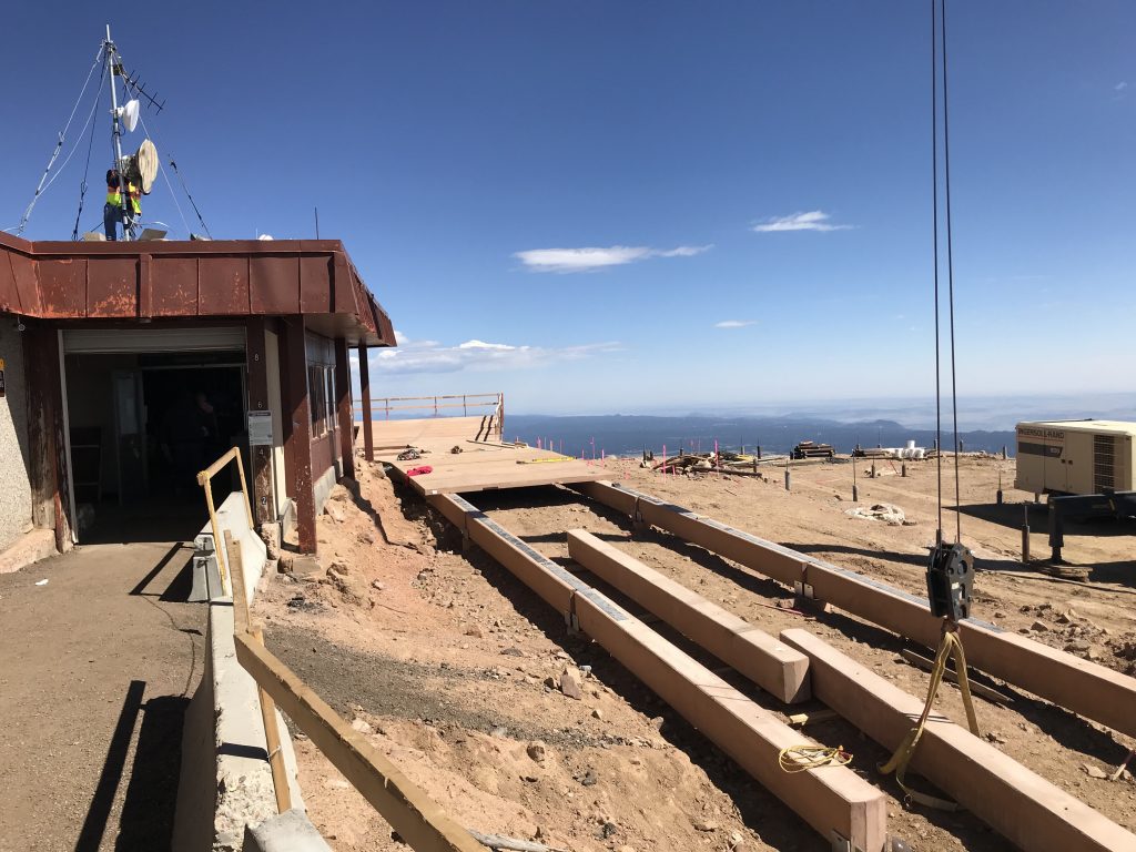
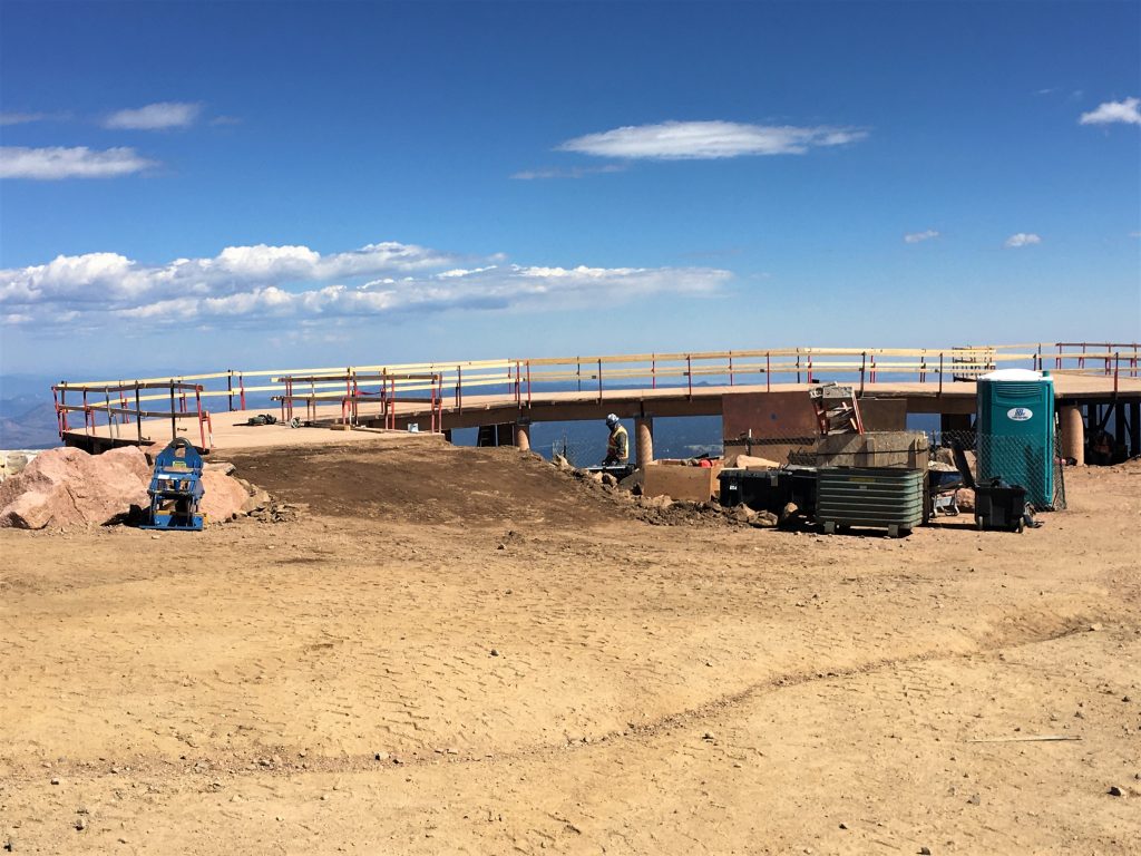

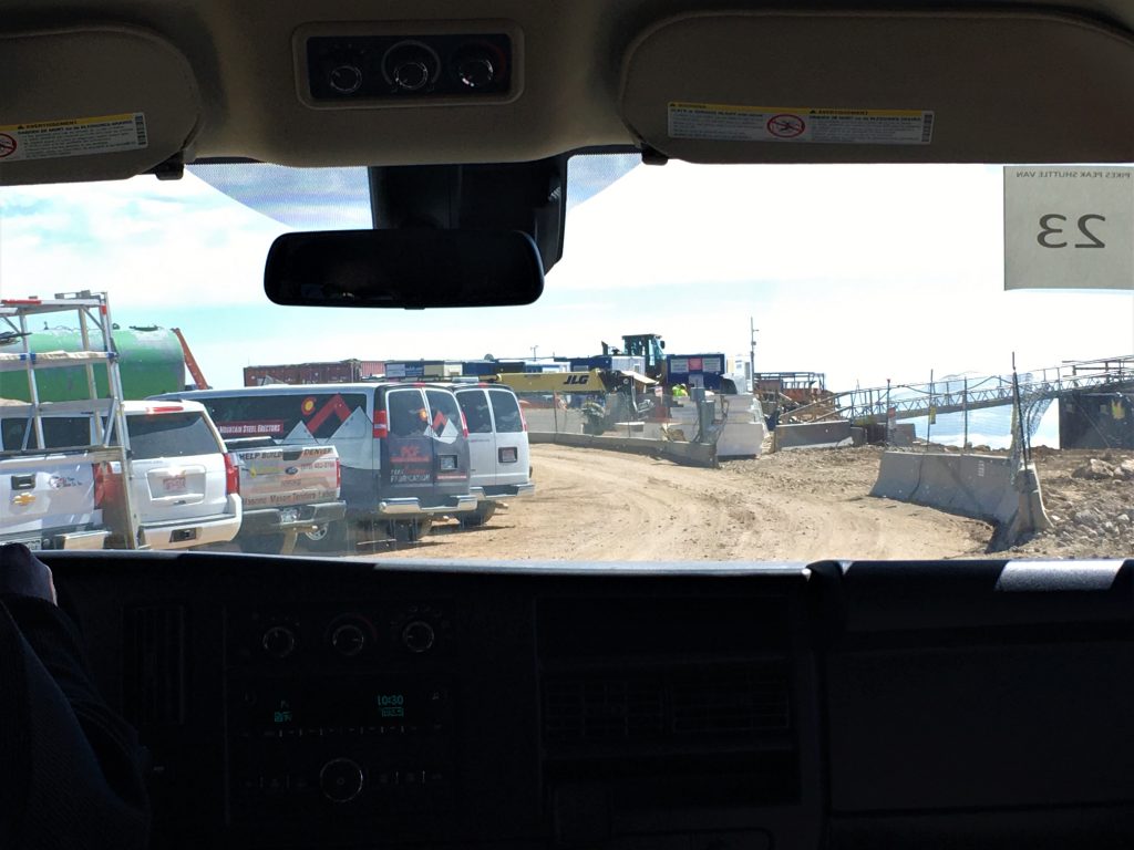
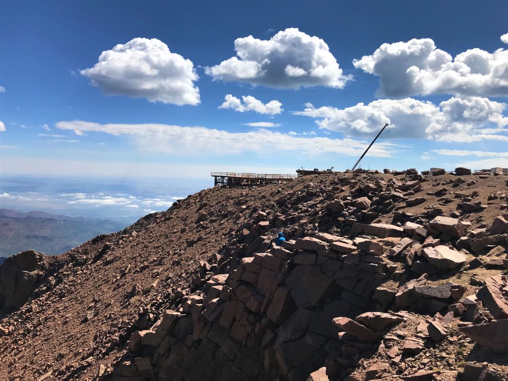
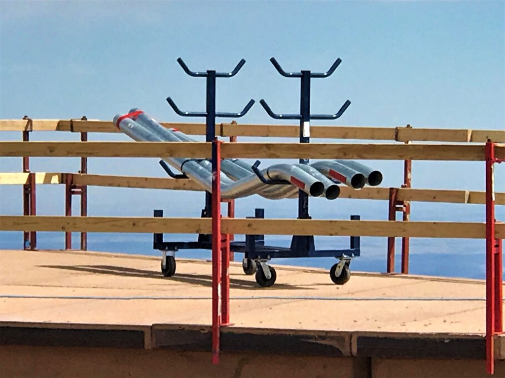
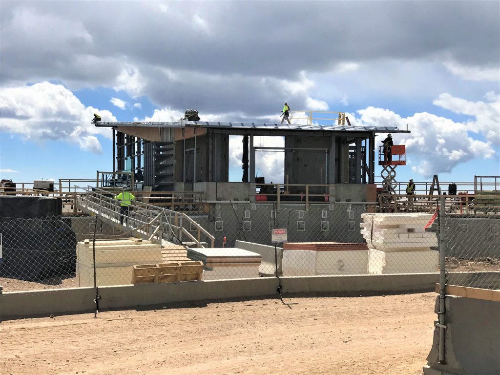
It will be one of the world’s highest structures.
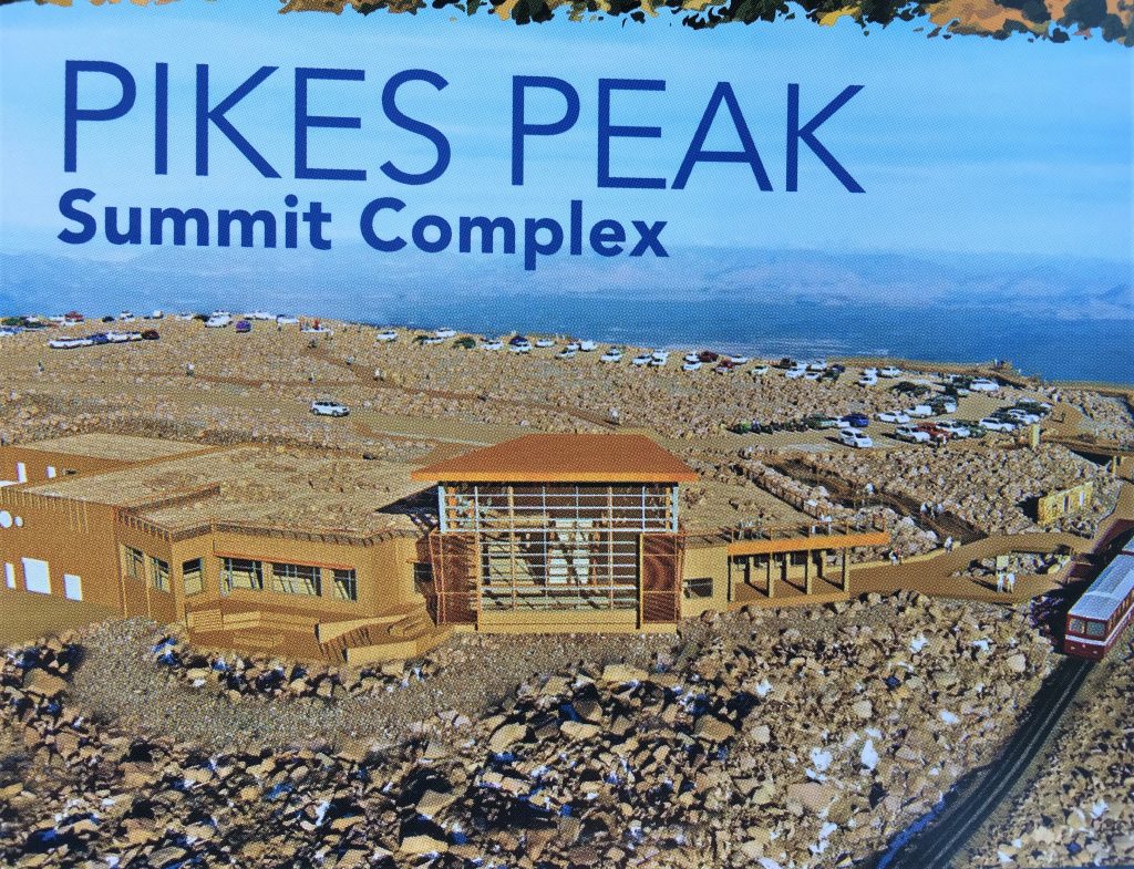
It shows the completed project.
If you’d like to read about the project, I found the following article. It covers some of the environmental conditions they’re dealing with. The article’s from April, 2019.
https://www.enr.com/articles/46700-new-visitors-center-being-built-for-peak-conditions
It has a completion date of this year, but after looking around, according to Blaine (whose career was in construction), it’s not very likely.
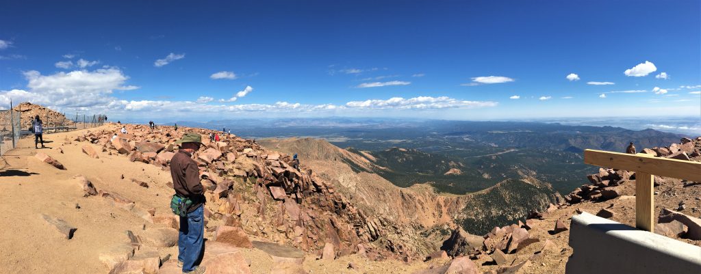
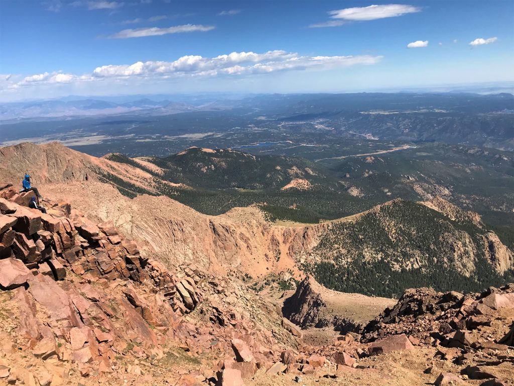
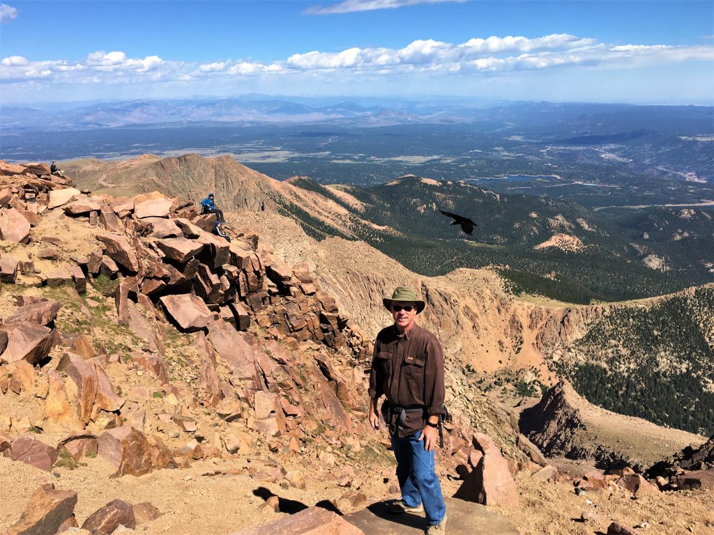
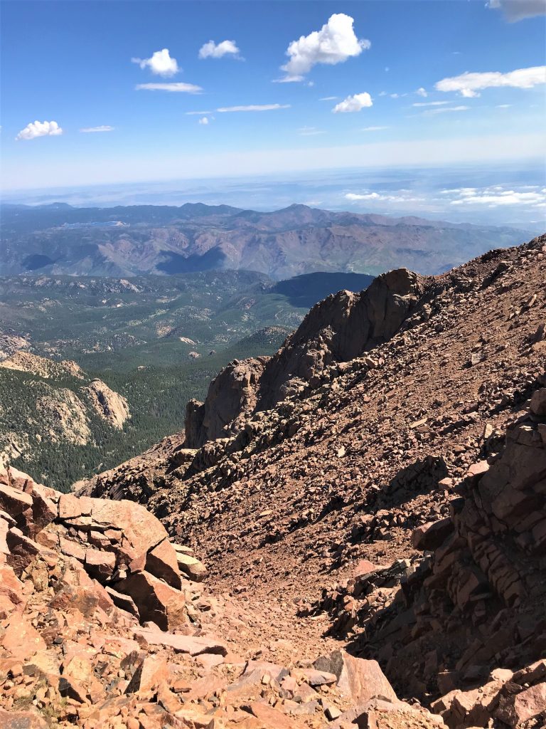
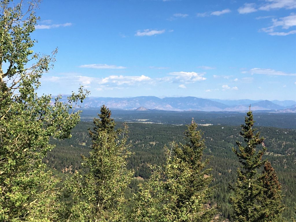
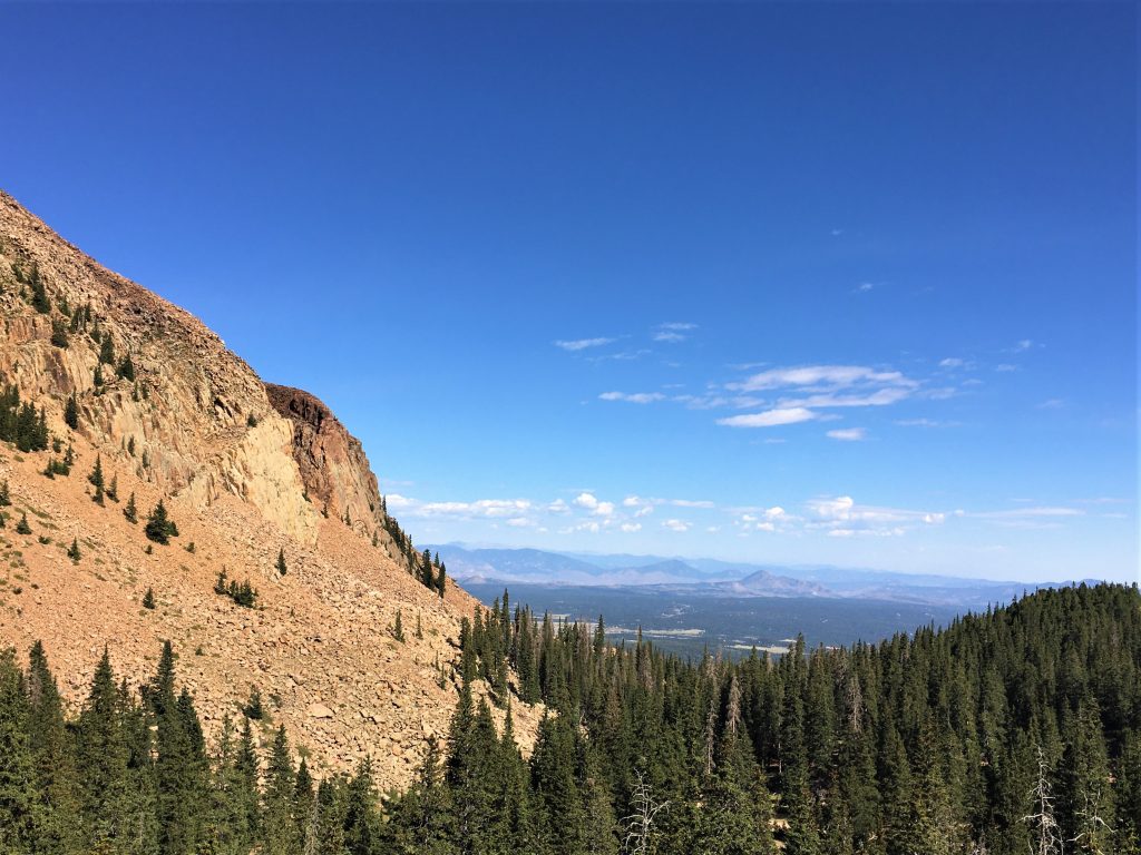
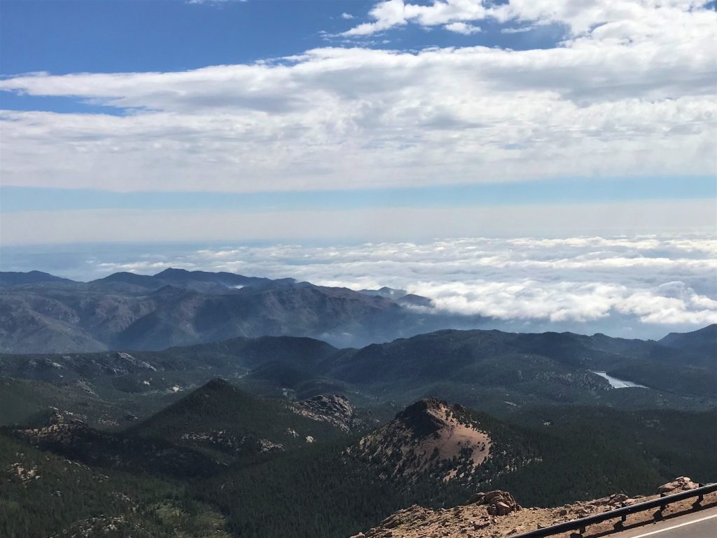
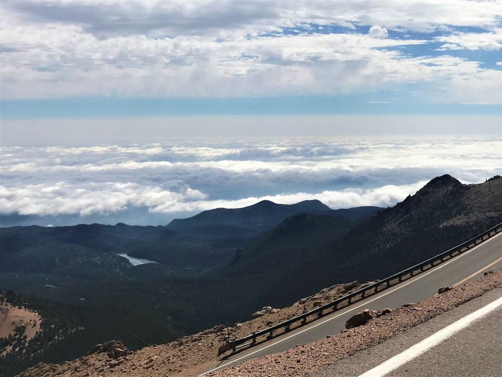
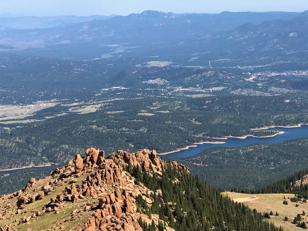
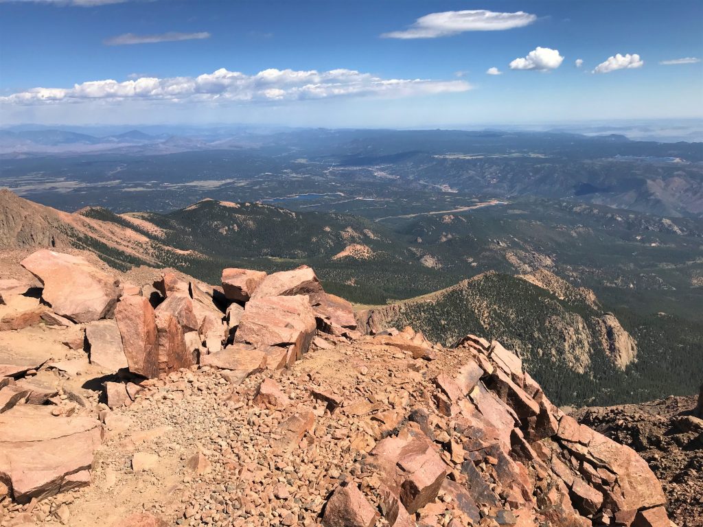
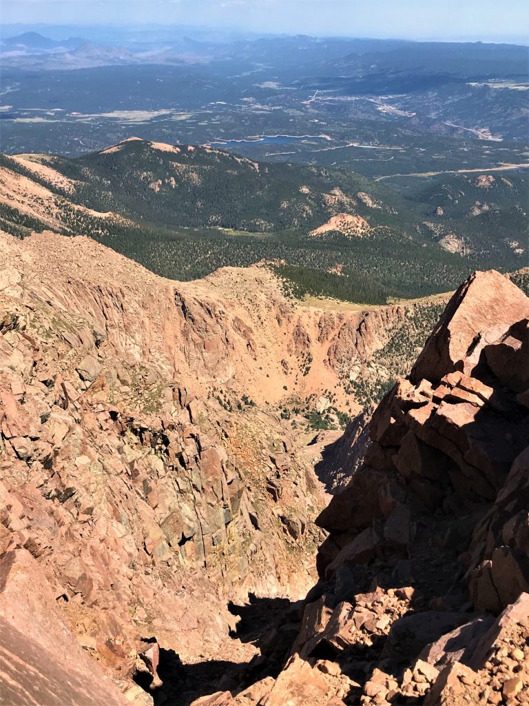
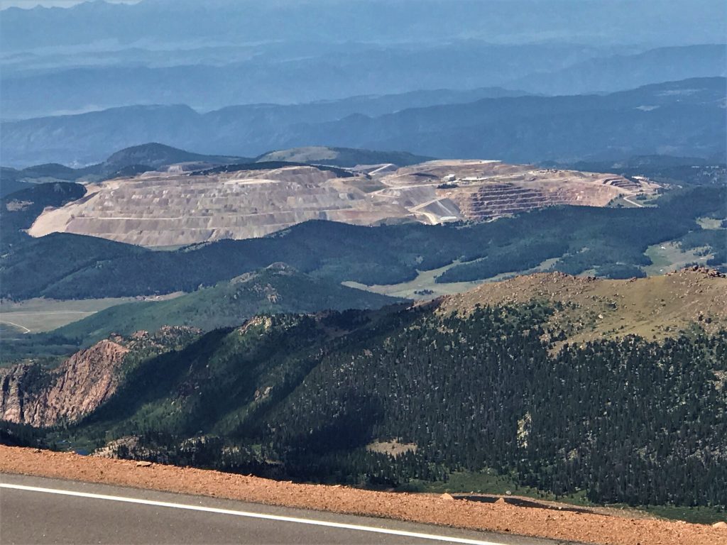
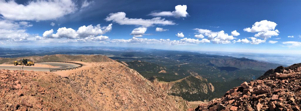
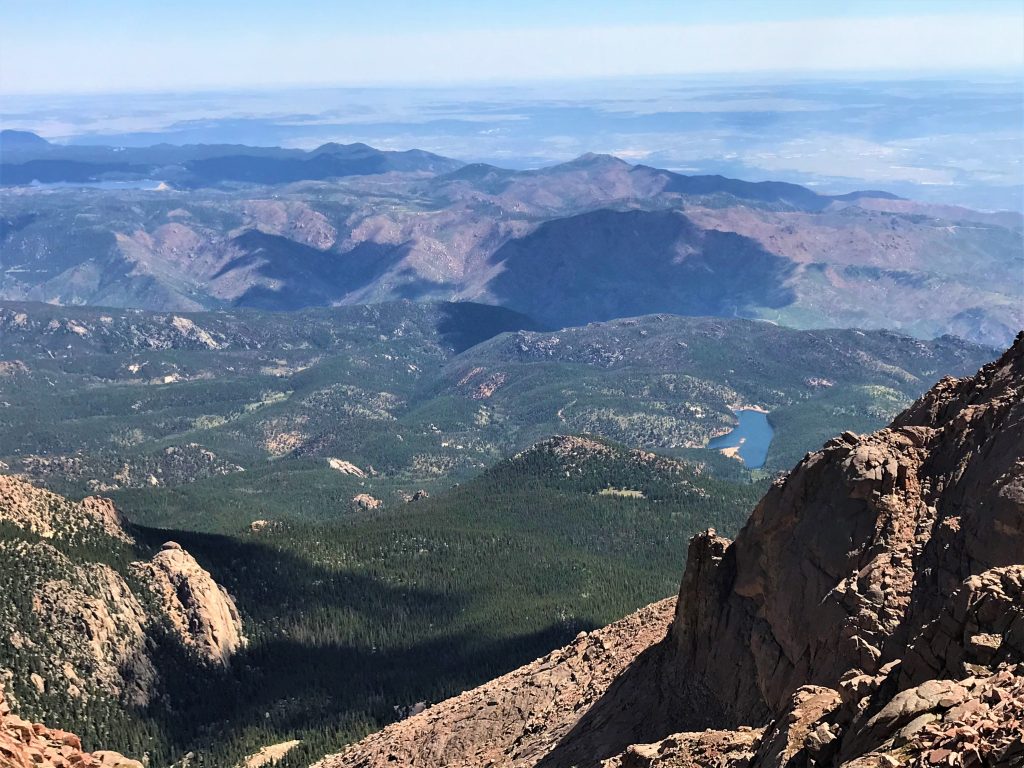
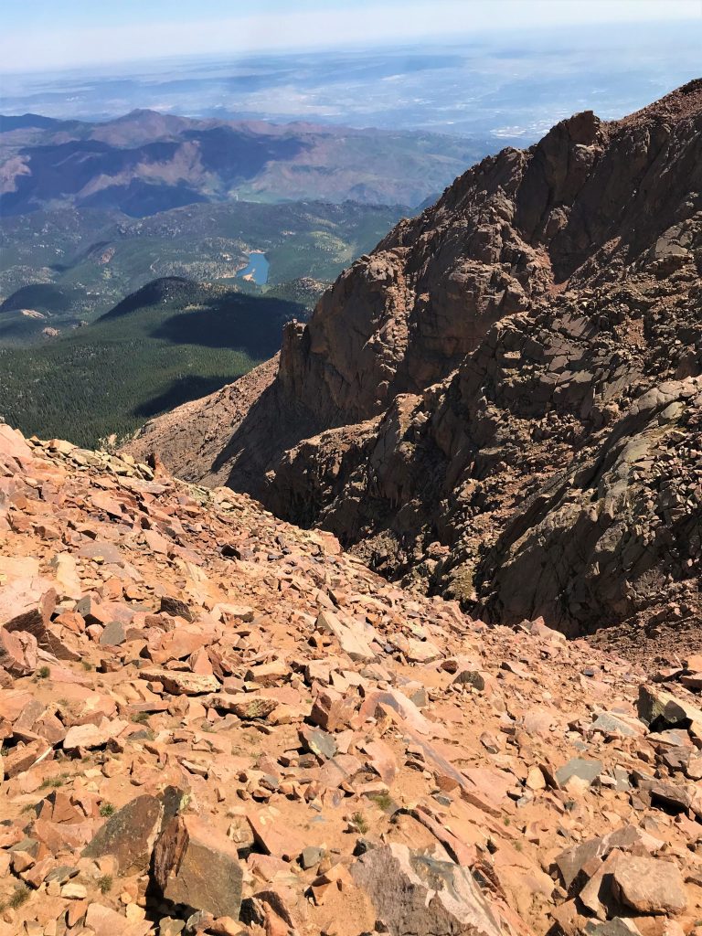
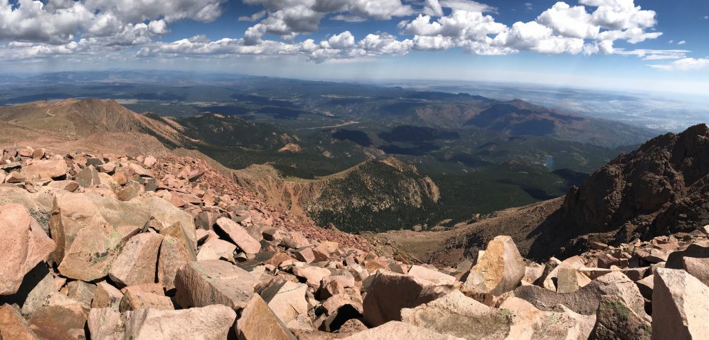
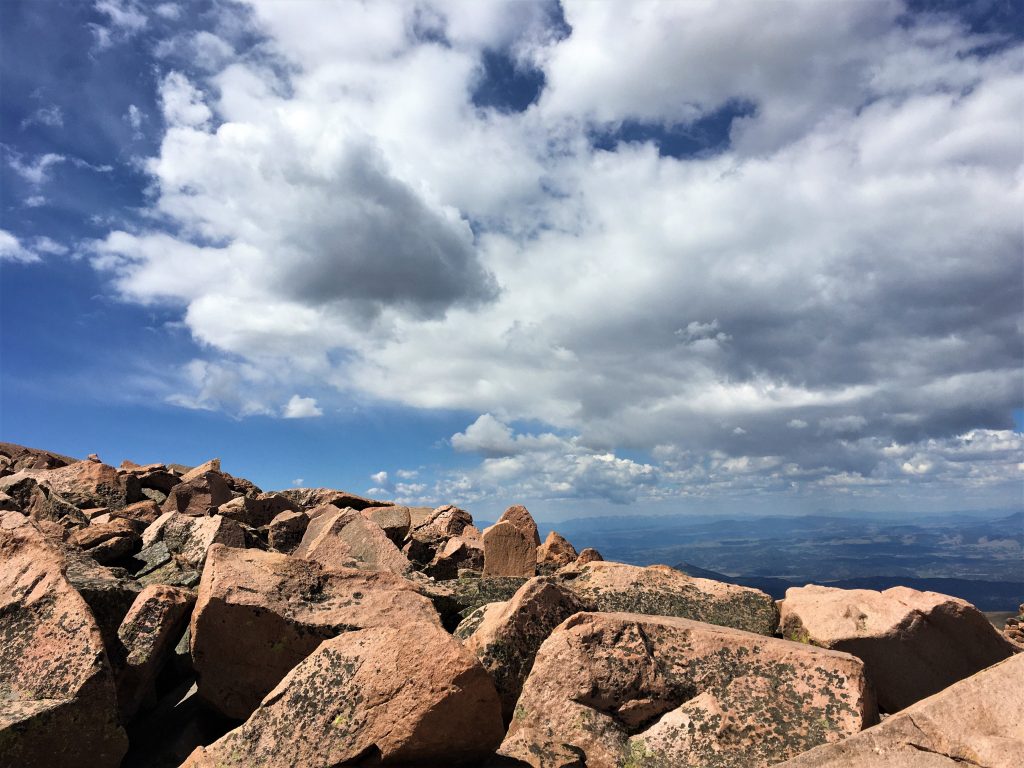
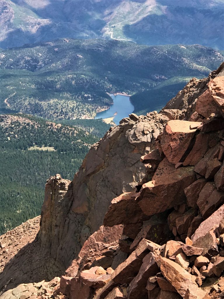
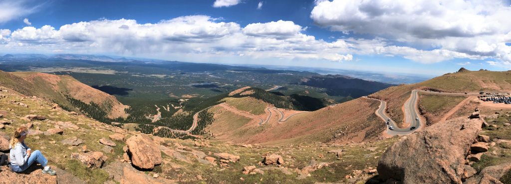
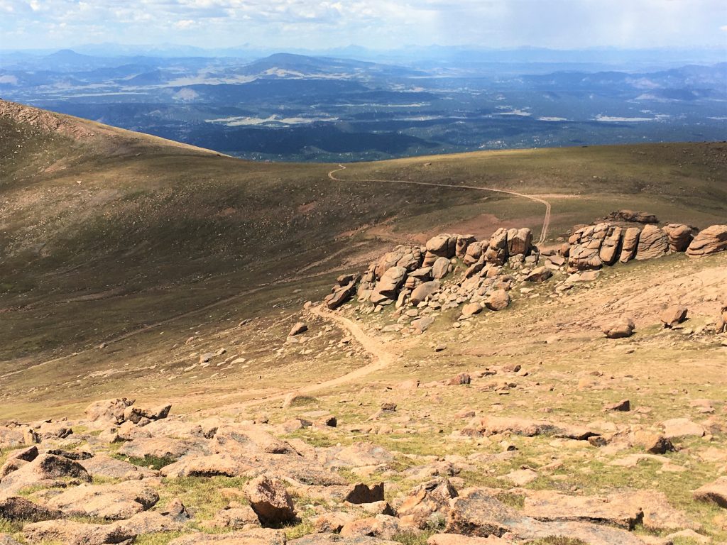
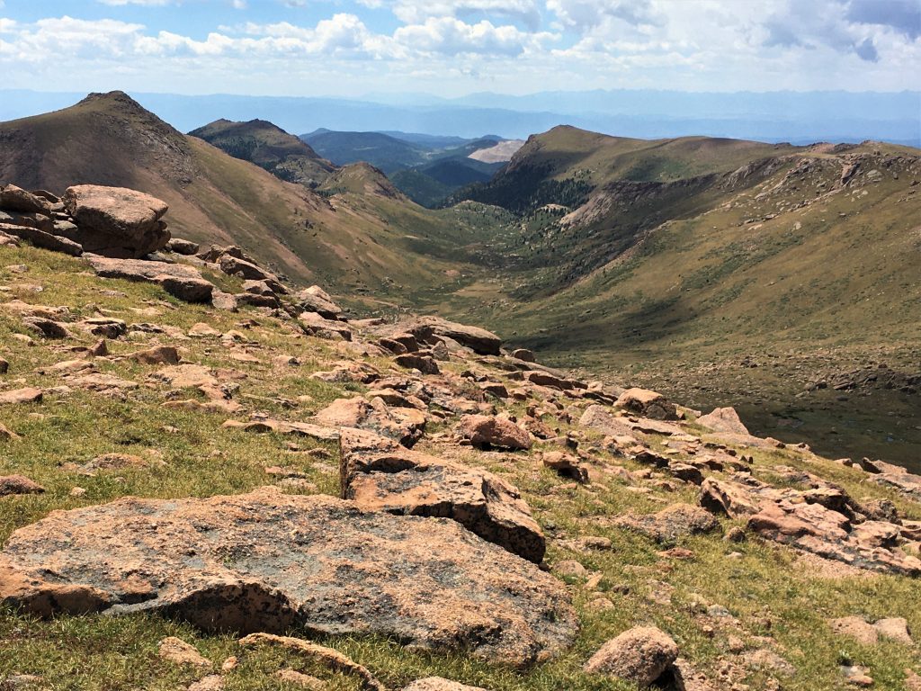
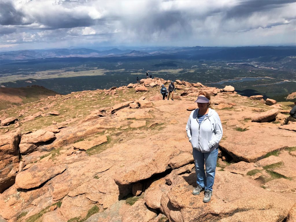
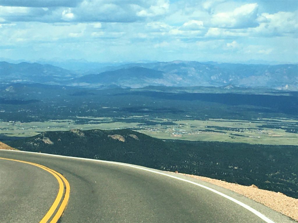
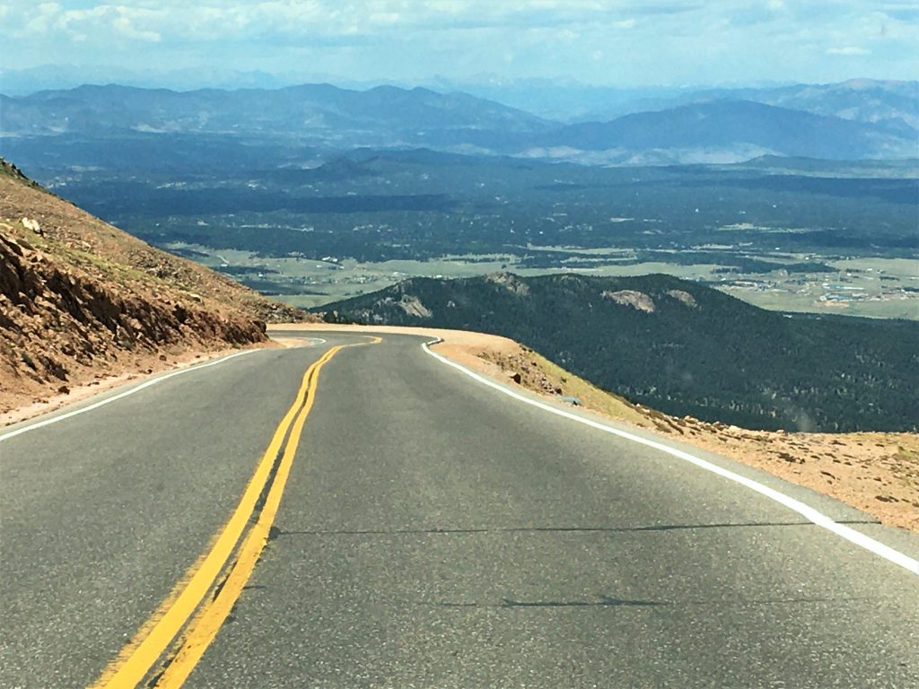
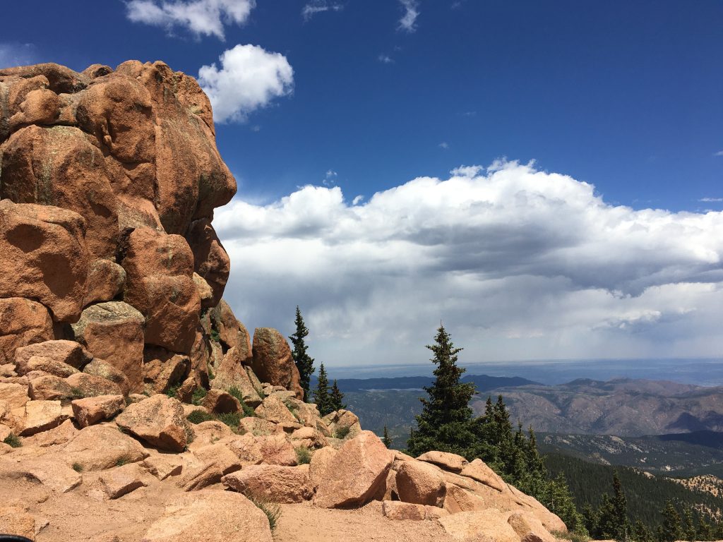
On the clearest days, you can see five states (Colorado, Arizona, New Mexico, Utah, and Kansas) and even the curvature of the earth fading into the distance. Of course, there were no signs up to tell us what we were looking at, but if you look at the pictures we took, you can definitely see the curvature of the earth in some of them! I read somewhere that on a clear day, the horizon’s about 125 miles away, but I don’t know. It sure seems like much further than that.
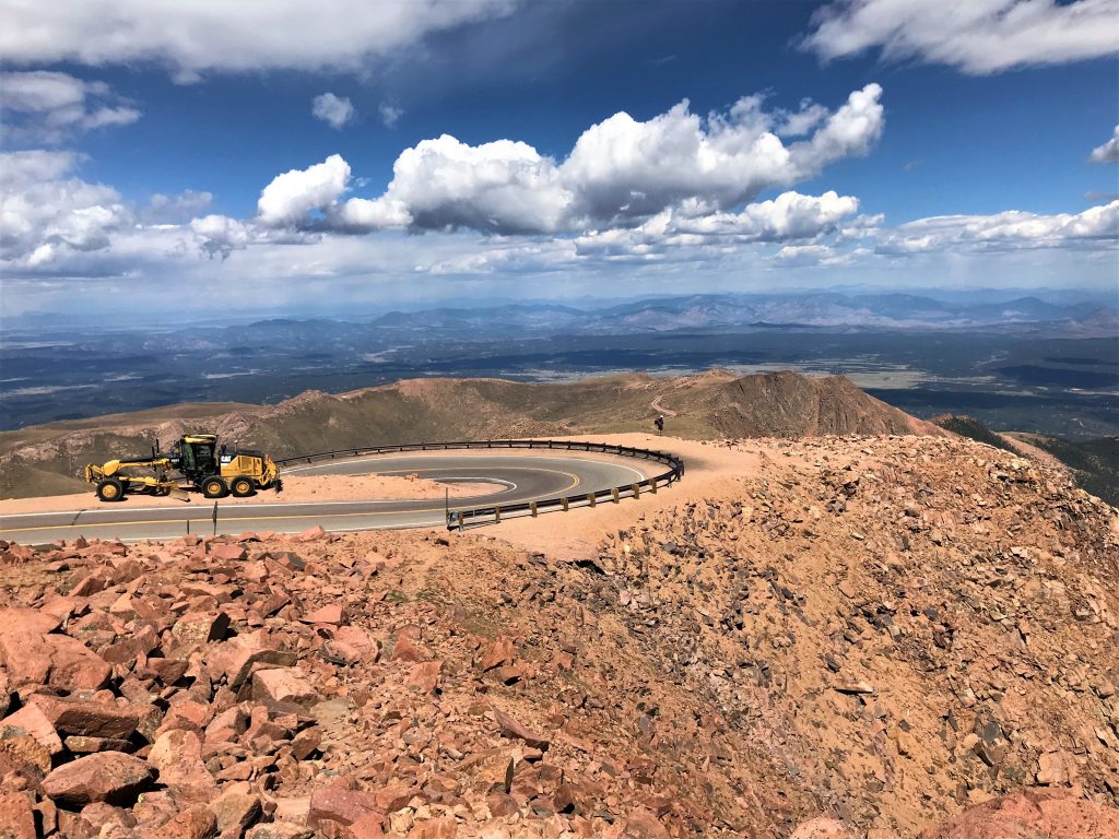
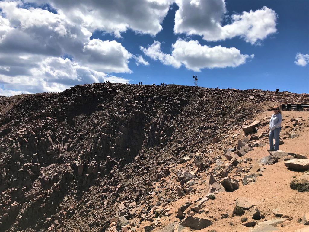
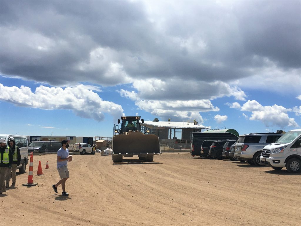
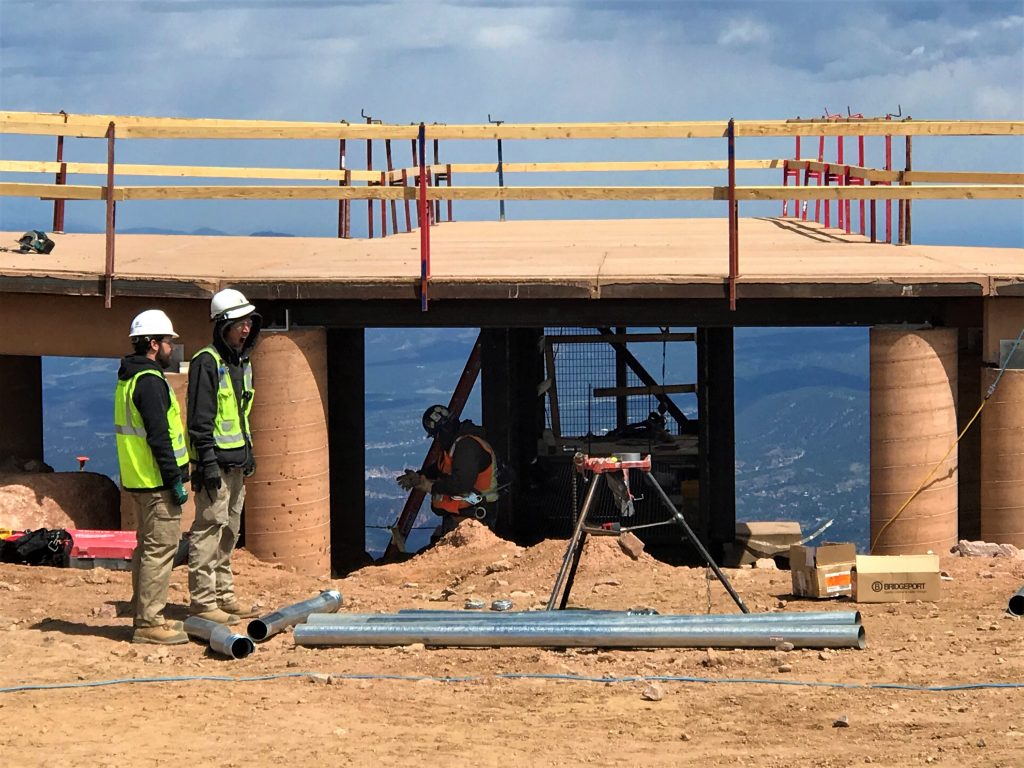
None of the construction workers seemed to move around very fast at over 14,000 feet.
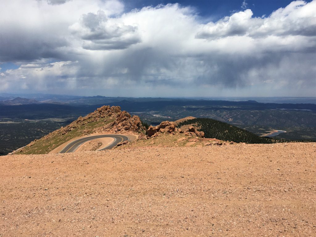
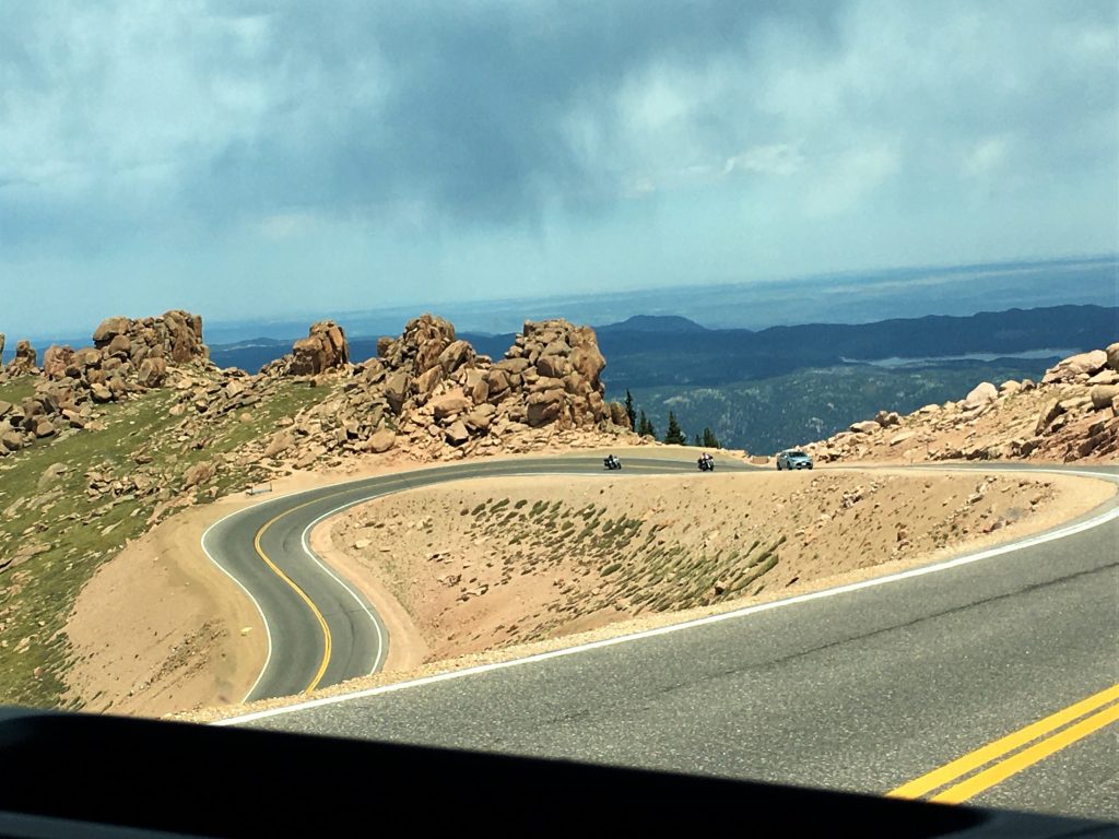
Time to head back down to the parking lot. Our downhill driver, mentioned something interesting – –
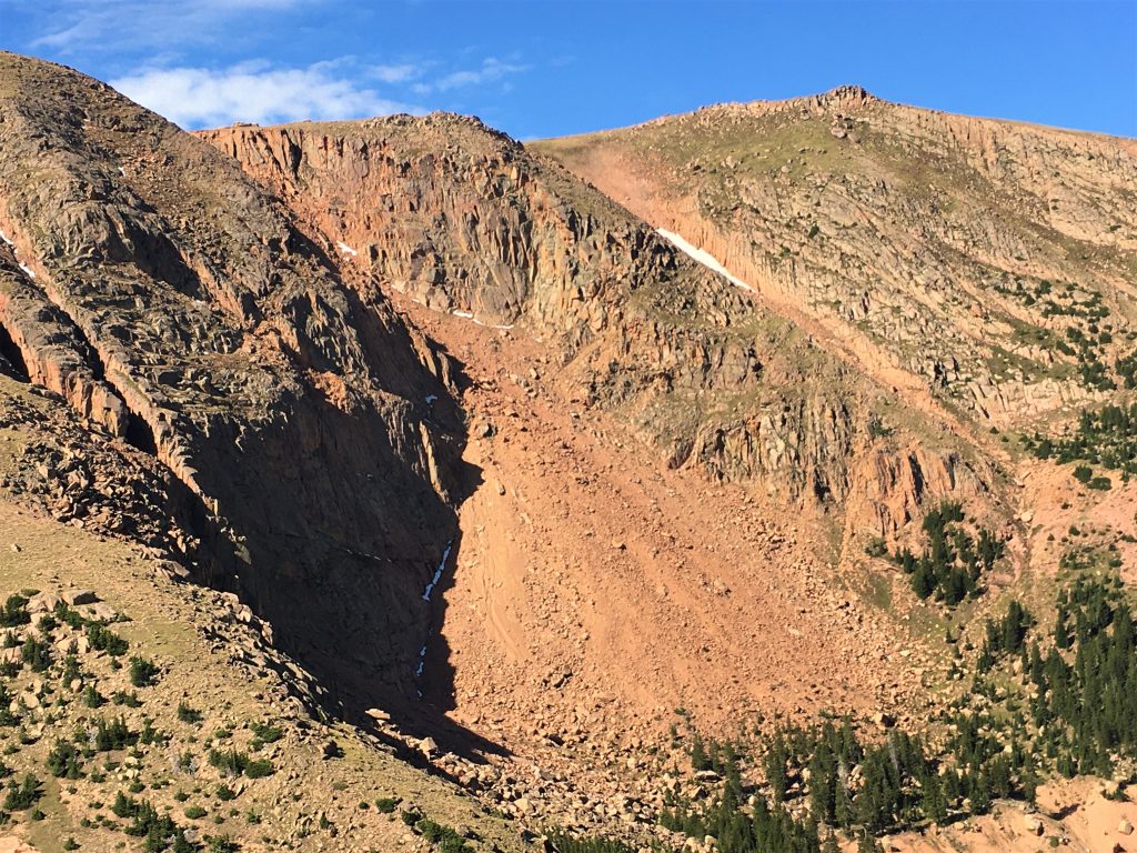
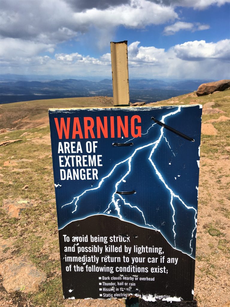
There’s an area part way up the mountain that’s named ‘Devils Playground’, because when lightning hits, it bounces around the rocks. It’s one of the most electrically active zones on the planet, and experiences thousands of lightning strikes each year.
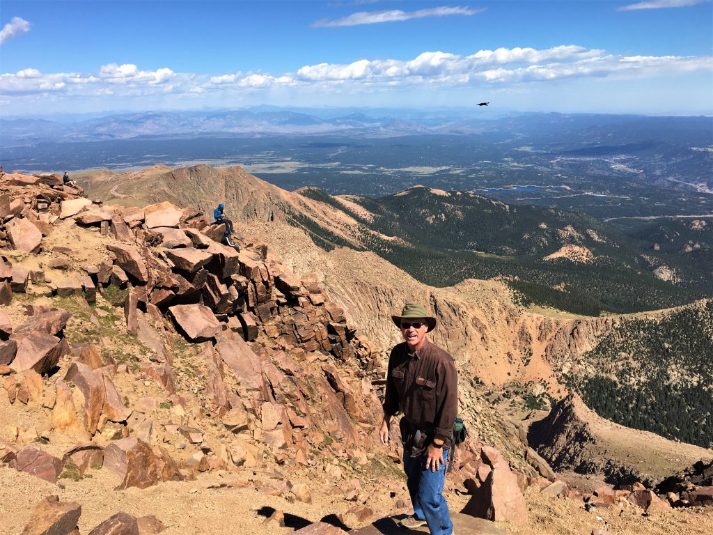
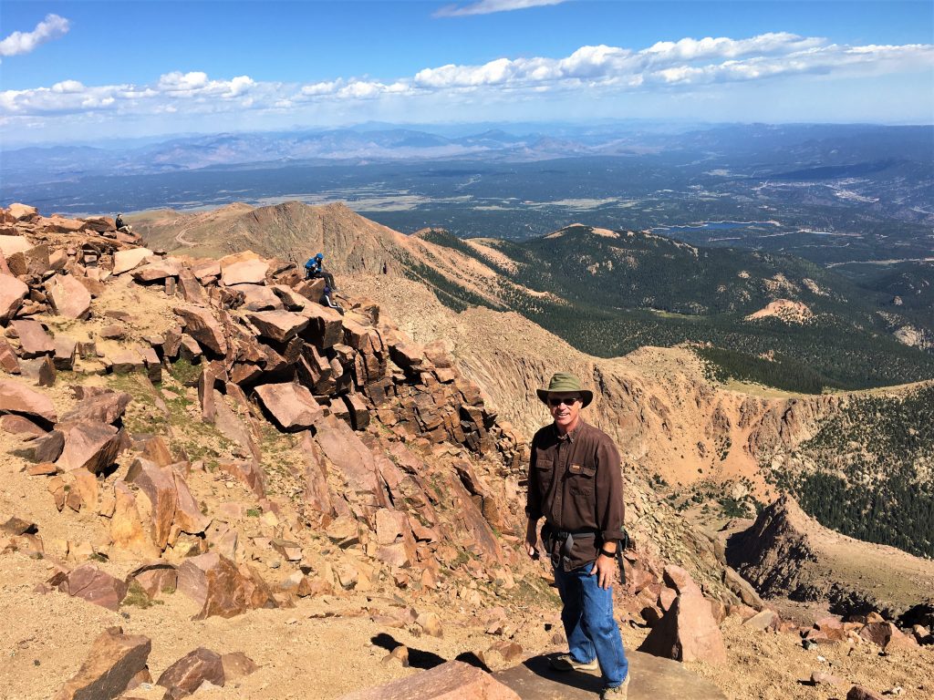
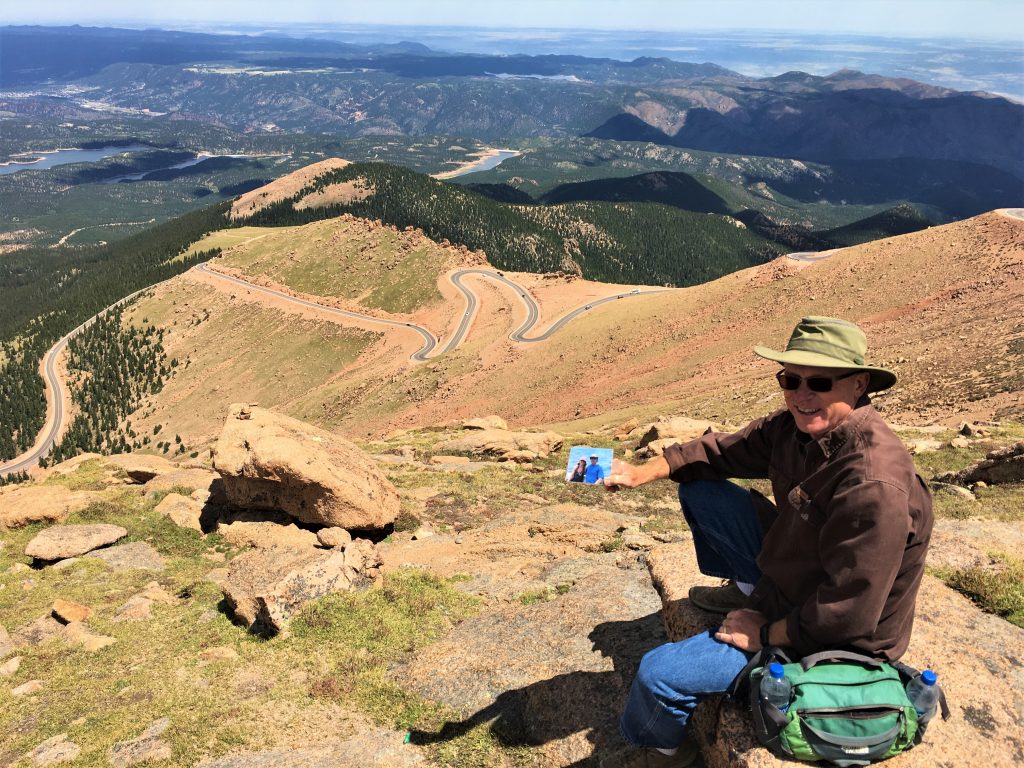
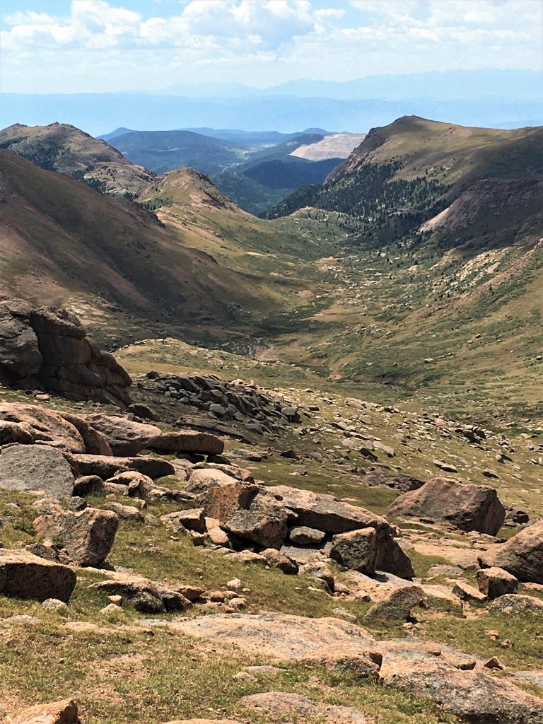
We went up there to find a spectacular place to eat lunch.
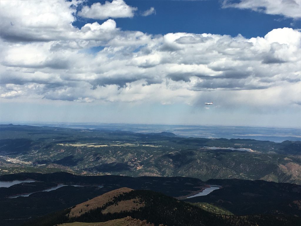
And the jet’s at about our eye level!
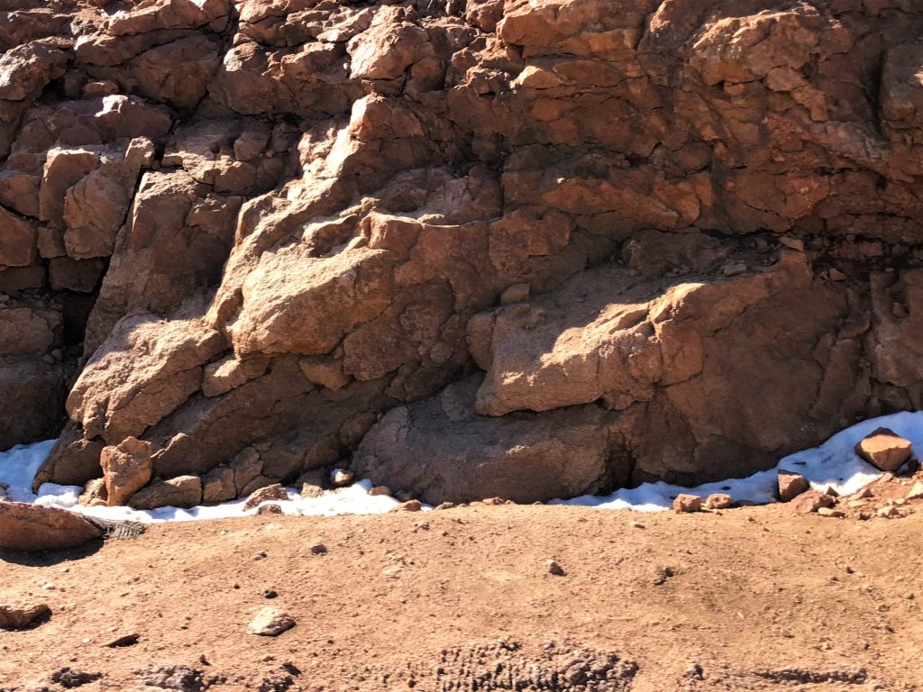
There was snow while we ate lunch today! Or maybe it would be considered sleet? Either way, it was definitely white, and it’s not something you’d expect while comfortably eating lunch in a long-sleeved shirt! But it sure was fun!
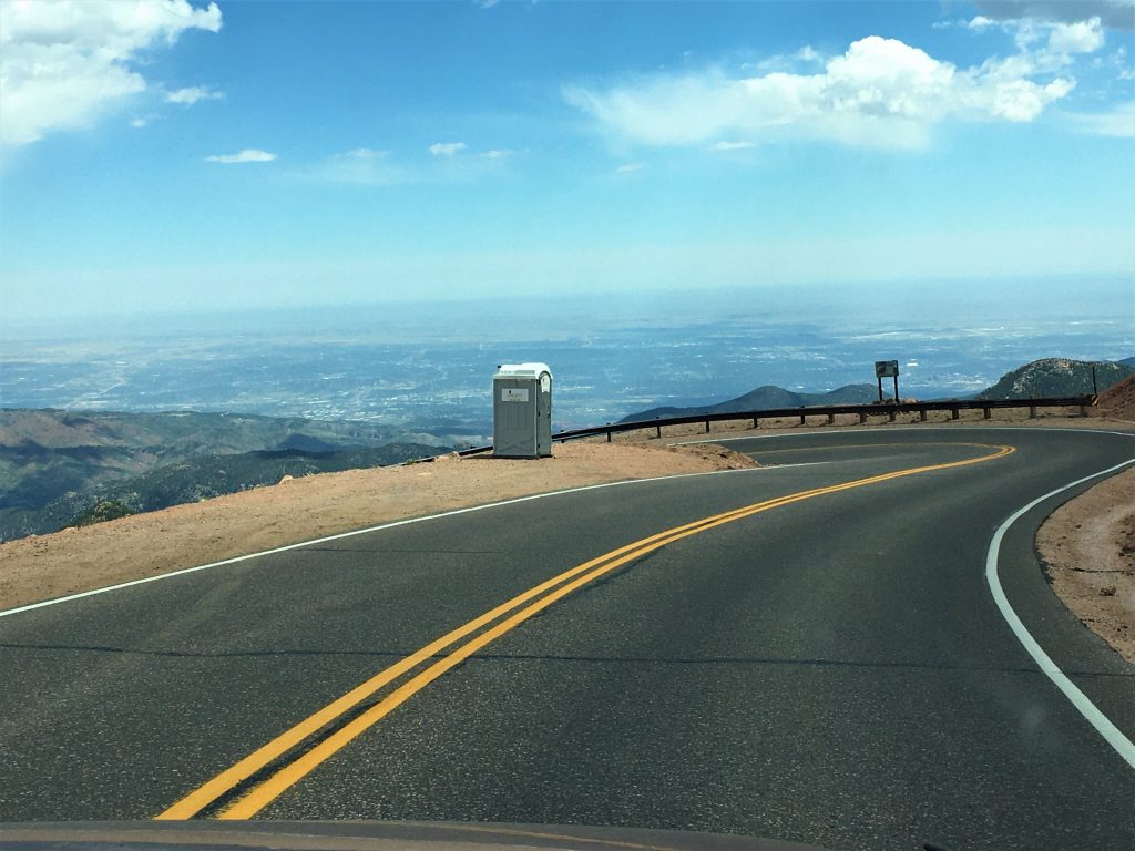
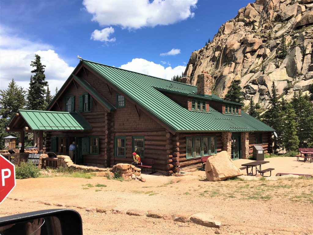
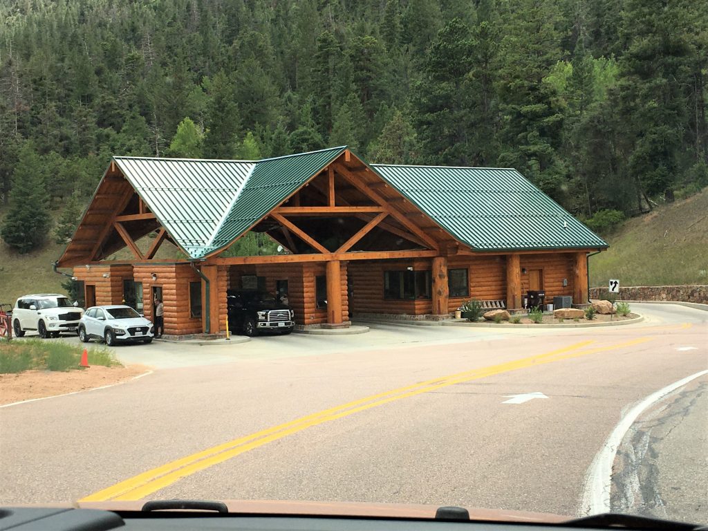
The ‘in case of emergency so you don’t pee your pants’ stop?
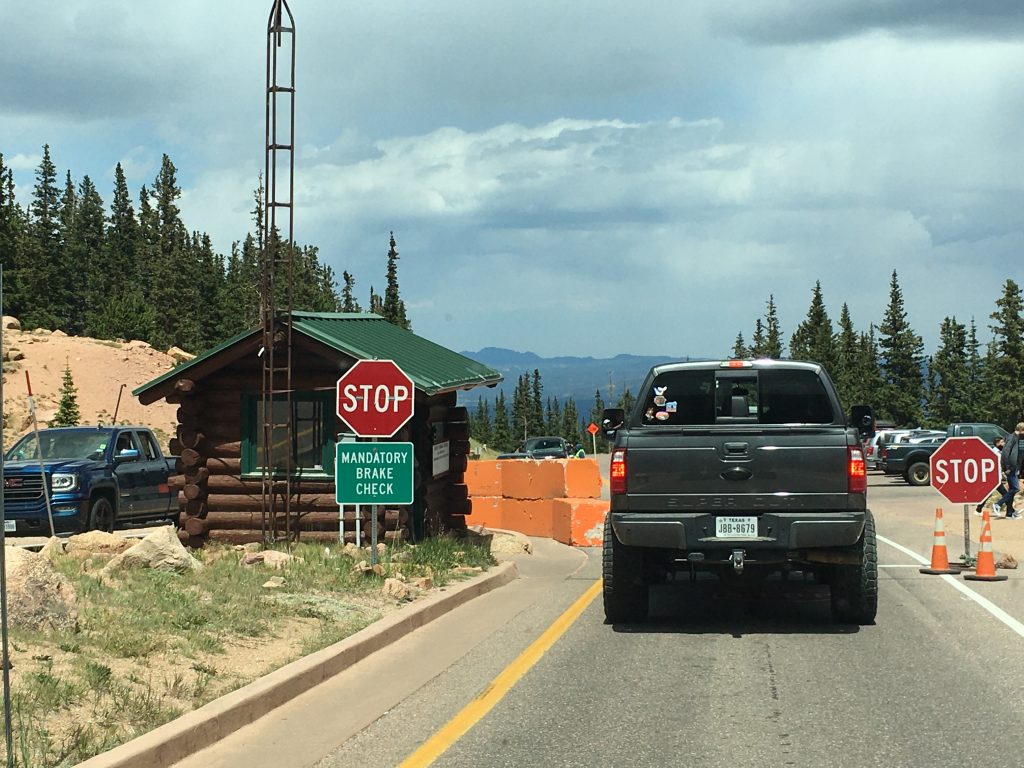
They make every vehicle stop here so they can check your brakes with a thermometer.
They don’t want you going any farther if your brakes are overheating.
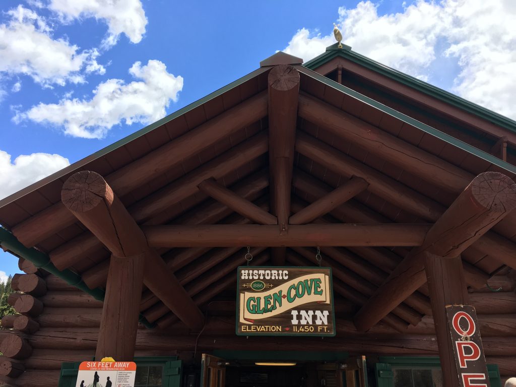

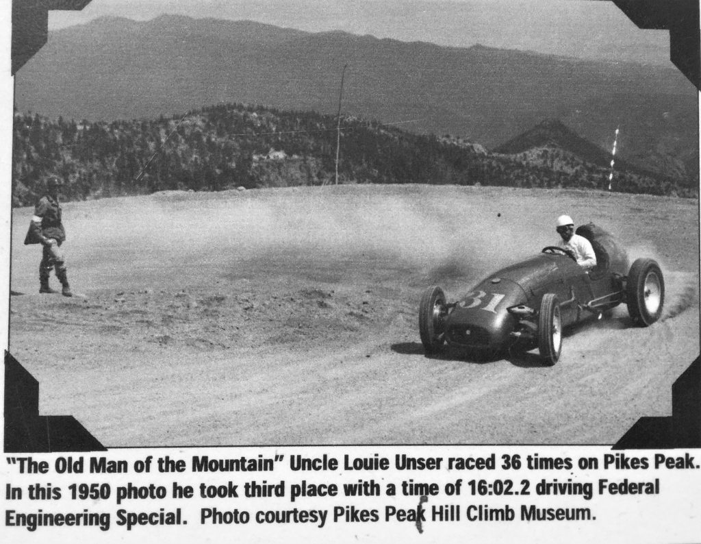
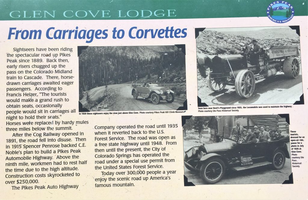
In 1915, the fearless entrepreneur, adventurer and gold baron, Spencer Penrose, who created many iconic landmarks in Colorado Springs turned his attention to Pikes Peak.
A rough road had been built up the glimmering hulk of a mountain in 1888. Horses pulled carriages of tourists toward the summit, and mules assisted for the final push.
Penrose widened and converted that primitive road into the Pikes Peak Highway. And to publicize his feat, he created an automobile race to the summit.
The first Pikes Peak Auto Hill Climb took place Aug. 10-12, 1916, with Rea Lentz, a 22-year-old from Washington, driving a diminutive Romano Demon Special to victory in 20 minutes, 55.6 seconds. ~ Springsmag.com

.ashx?modified=20191209163923)
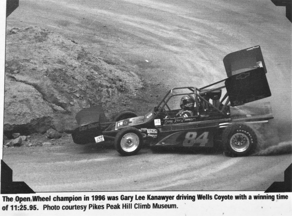
The Pikes Peak International Hill Climb is scheduled for August 30th this year. The race is based on times rather than running side-by-side and trying to pass each other (thank goodness!!!), and I read that this year there are 63 entered. So in other words, 63 drivers will begin, one at a time at Mile 7, and drive as fast as they possibly can to the summit. The one who does it in the fastest time, wins. From what I was able to uncover, it seems the current prize money is $50,000.
In 2016, for the 100th anniversary, there were 100 competitors, and a special appearance by a fully restored and functional 1918 Piece-Arrow once owned by Spencer Penrose. They drove it 3 miles – from the 7-Mile start point to the Halfway Picnic Grounds at Mile 10.
This will blow your mind, especially if you’ve ever taken the drive to the top – –
In 2019, with a time of 7:57.148, Romain Dumas set a new record for the fastest time up the famed Pikes Peak International Hill Climb. His average speed was 90.538 miles per hour, according to the event’s official live timing board. The previous record of 8:13.878 was set in 2013 by Sebastien Loeb in a specially prepared Peugeot racecar. ~ autoblog.com

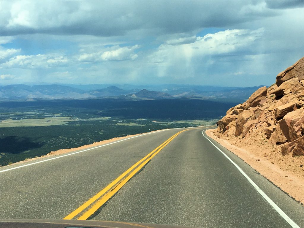
Time to move on down and out of the park.
By just after 2:00pm we had returned to the bottom and were on our way home.
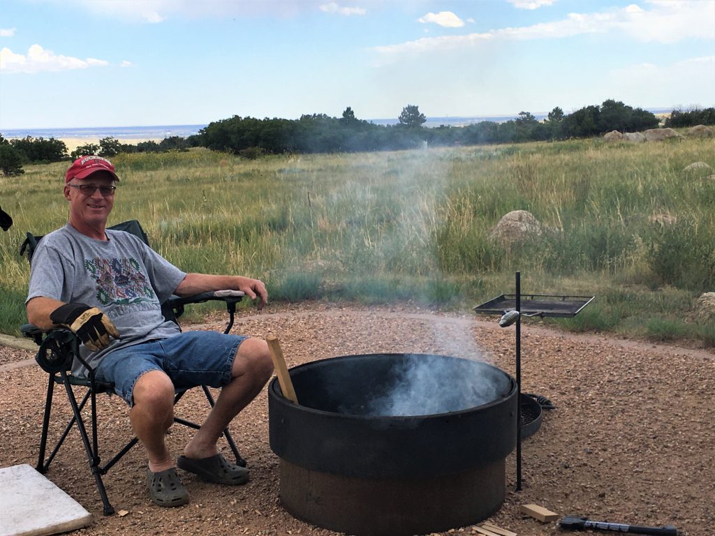
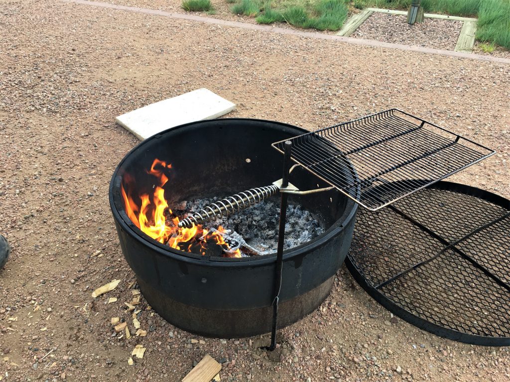
On the way home, we stopped at the grocery store to pick up a few things, including something for Blaine to grill over a fire, made with the wood we discovered the other day. While we were there, we discovered why it’s been impossible to find Helmann’s mayonnaise.

Why?!?!?
We chose T-bones today, because they were supposed to be $5.97/pound, but for some reason, the great sale price app function wouldn’t work. The cashier couldn’t get it either, so we ended up with a sale price, but not one nearly that good! And they were packaged in groups of three. I don’t have room in my freezer to house 4 giant steaks until such time as we’re ready to eat them, so the third will be breakfast food – steak and eggs.

Can’t wait till I get mine done! About 4 more weeks!
By the way, the one with the short black hair is Finn. : )