River Plantation RV Resort, Sevierville, Tennessee
It’s an early start again at 6:45am. By 7:20am we passed by our planned final destination for today, and the parking lot was already packed full, with cars parked along the road! Hopefully, they’ll clear out by this afternoon. We’ve also noticed that the water volume is already down considerably without rainfall the past few days.
Up today – literally – is Clingman’s Dome. Blaine checked the weather there this morning. At 6am, it was 30 degrees with a high expected of 49! Guess we’ll be bundling up!

There he is again! Every morning!
I can’t resist it fascinates me! : )
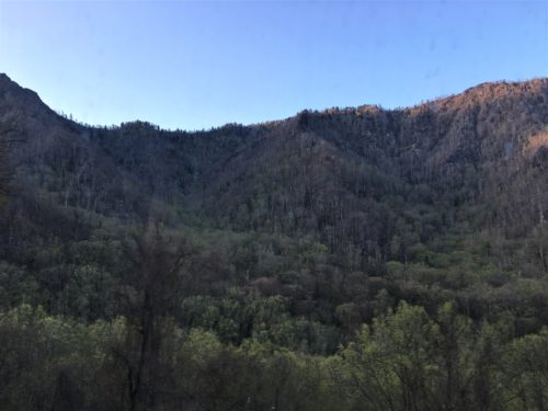
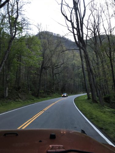
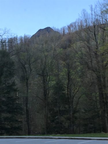
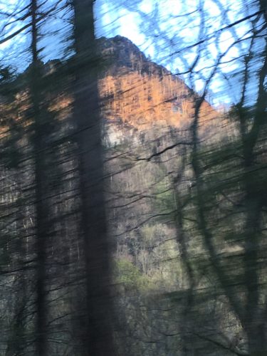
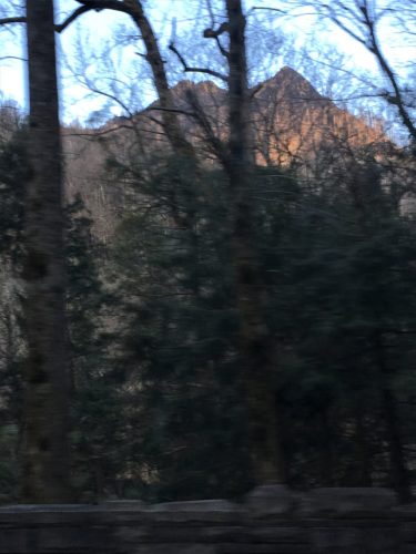
I spied this along the way and was pretty sure it’s the original Chimney Tops.
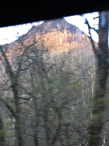
I snapped very quickly as we were zipping by.
Although the quality’s blurry, I’m now certain that’s what this is.
See all the burn area?
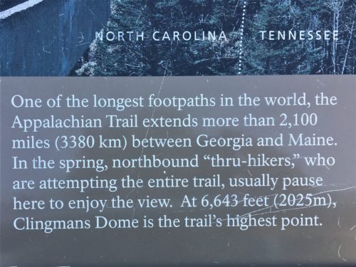
Getting to Clingman’s Dome involves another long drive, but you don’t have to hike up unless you want to; and that’s via the Appalachian Trail that comes right through here. However, there’s a half-mile walk to the observation tower and then you have to walk the ramp to the observation deck itself.
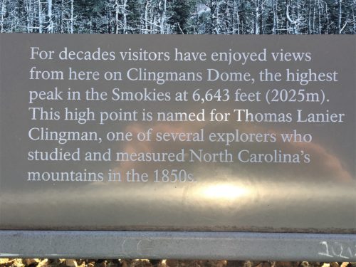
It is a paved half mile walk to the tower, but it’s steep with a 332 foot elevation change, and at 6,643 feet tall, Clingman’s Dome is the highest peak in the entire Smoky Mountains! It also has the distinction of being the highest point in Tennessee and the third highest east of the Mississippi River (Mt. Mitchell is 6,684 feet and Mt. Craig is 6,647 feet and both are found in Mt. Mitchell State Park). So between the incline and the altitude and the pace we started up at, I found myself huffing and puffing. Eventually, I had to stop to take in the views before continuing on. Yeah. That’s it. I was taking in the views. . . . Blaine was huffing too, but he seemed to weather it better than I did.
But the views up here – even from the parking lot – are beyond spectacular! We could never take a picture that displays the full stunning beauty of this place! But at least we have a few that head in that direction. The first picture we took was from the parking lot at 7:50am, and there were already quite a few cars in the lot. We expected a large crowd along the way, or up top, but we didn’t encounter near enough people to warrant the number of cars. Wonder where they all were?
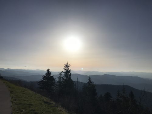
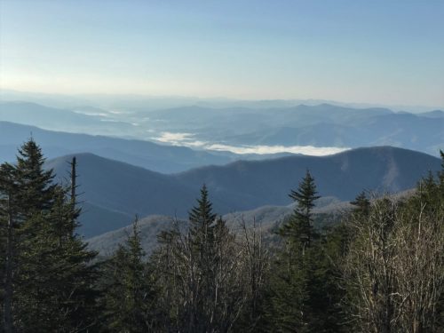
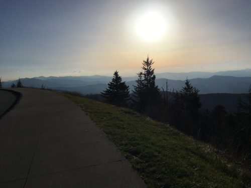
These next few pictures were taken from the Clingman’s Dome parking lot!
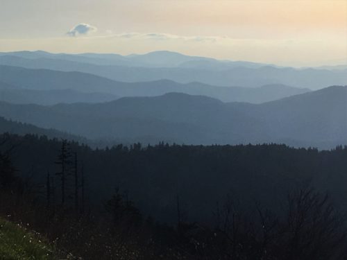
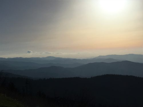
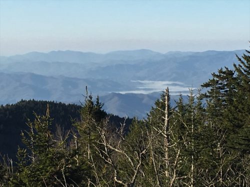
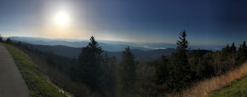
Blaine took a panoramic! Looks great!
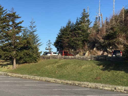
Time to go up!
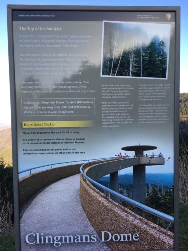
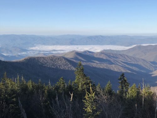
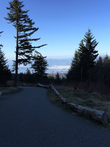
Looking back where we came from.

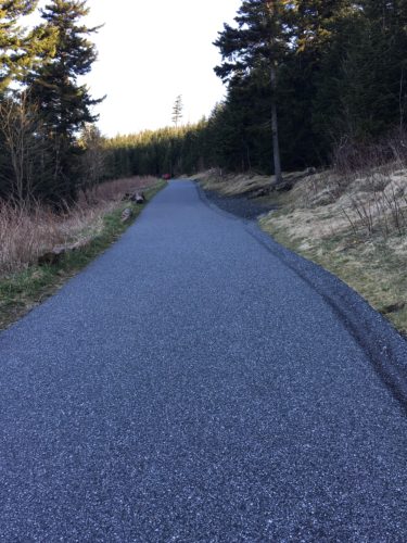
Looking up to where we’re headed.
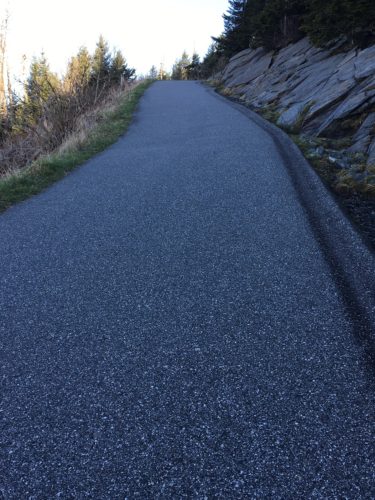
And up some more!
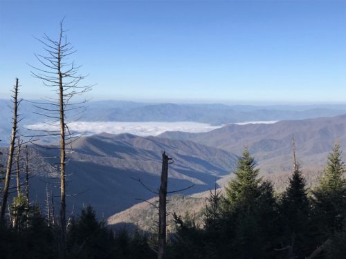
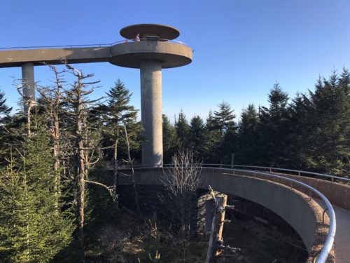
There it is!
We made it!
Almost . . .
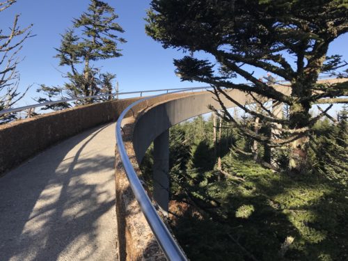
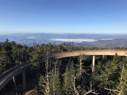
Now we made it!
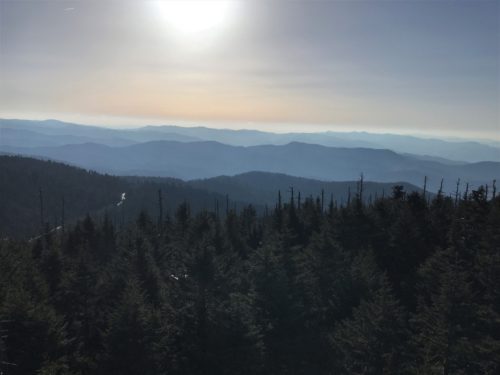
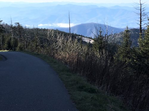
That’s the road down there!
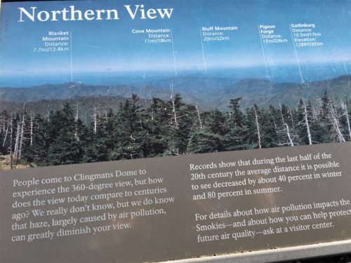
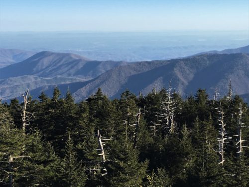
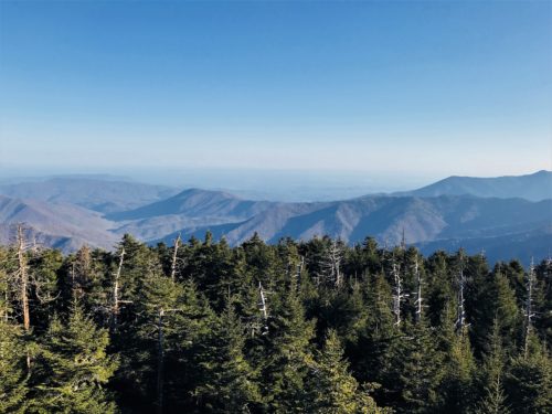
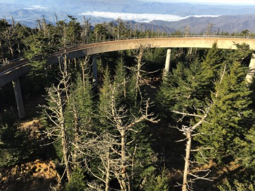
The North View – or part of it anyway.
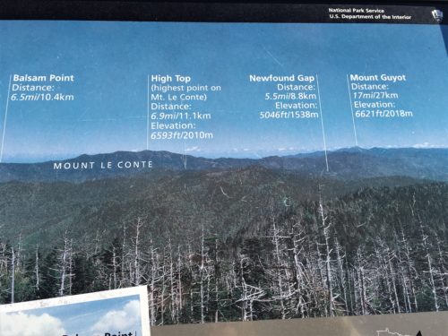
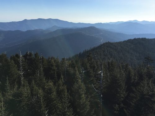
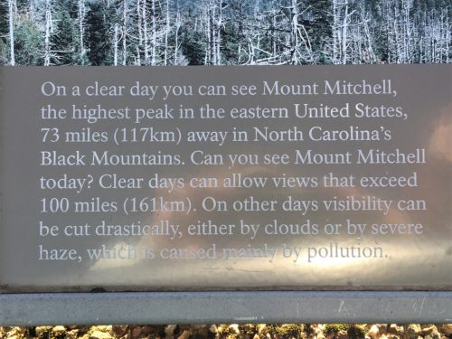
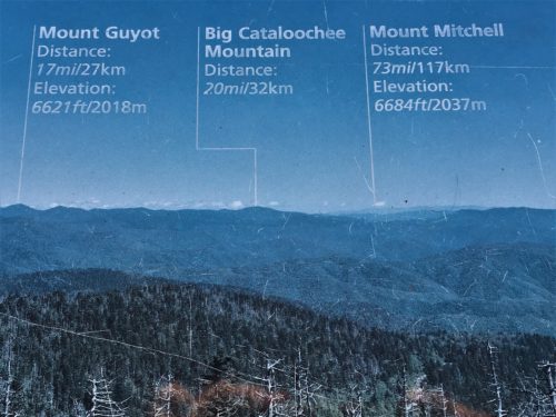
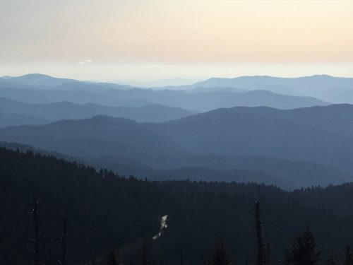
Mt. Mitchell is the furthest peak, right in the center. Look hard. And squint.
Pretty cool we can see it, although on other days, I’m sure it’s even more clear. : )
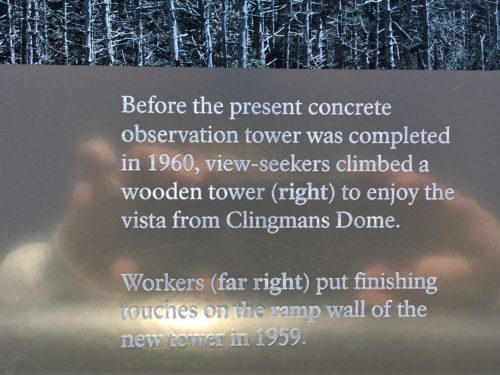
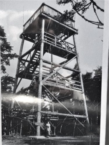
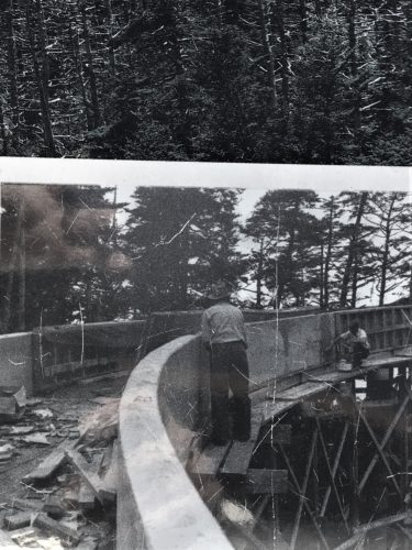
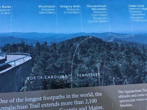
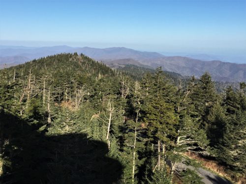
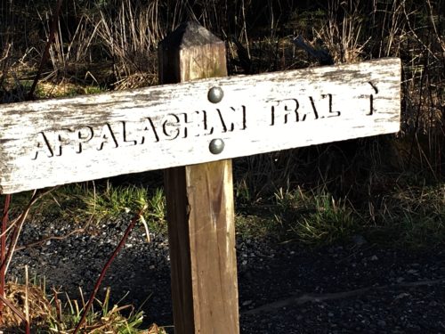
Can you see the Appalachian Trail?
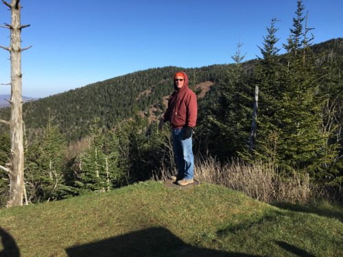
It’s still really cold up here!
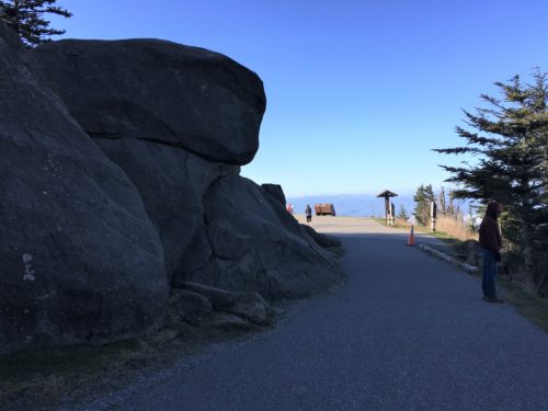
Flat land! Yeah!
Near the parking lot.
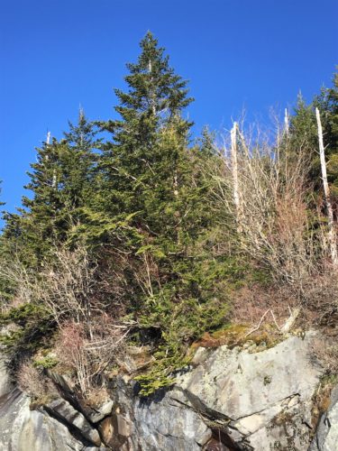
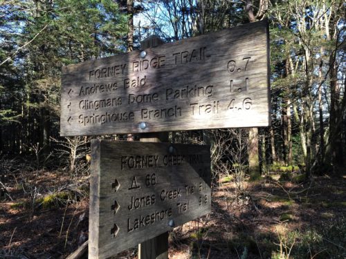
Once we neared the bottom of the trail again, we were shocked at the change! Cars were everywhere, and three charter buses filled with teens arrived! We needed to make a decision, and fast! We’d already spent an hour here, and it was more strenuous than we’d anticipated, so we debated whether to try out Andrew’s Bald. It was rated as a moderately strenuous 3.5 mile hike with an elevation change of 1,200 feet. That’s pretty steep, and most of that was traveling down from Clingman’s Dome (where the trailhead was). But to get back to the Jeep, we’d have to climb all that!
Somehow, we didn’t think a lot of people would attempt it, especially after seeing all the views up top. But the joy is in the journey, as they say, so off we went!
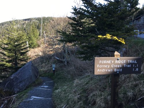
Off we go!
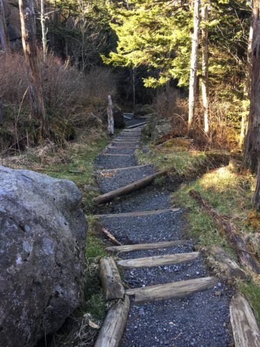
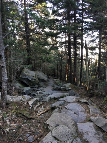
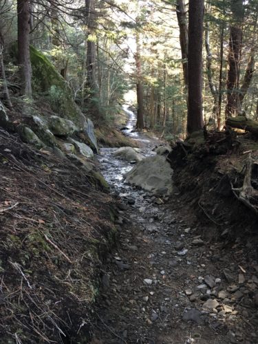
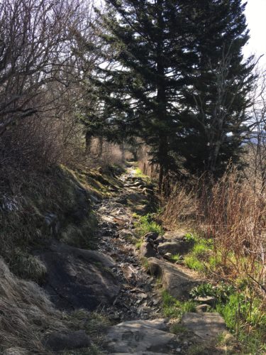
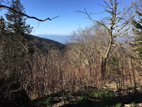
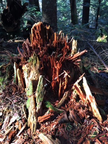
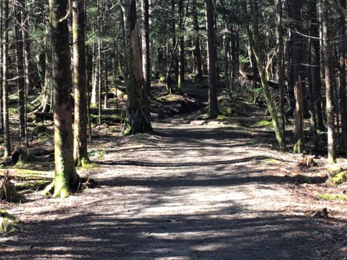
This looked much prettier in person. . . .
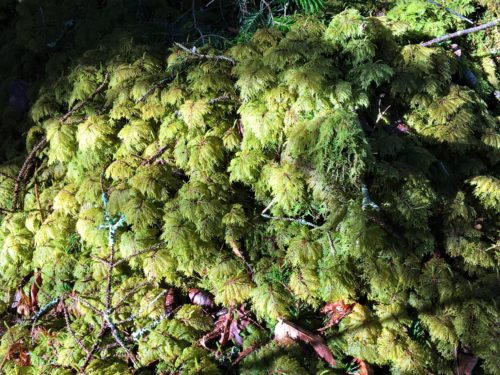
These odd ferns were growing in several places.
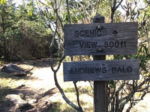
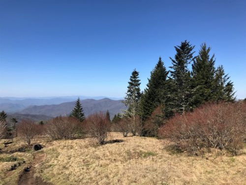
Andrew’s Bald is not really bald as you’d think. It’s more of an open, grass covered area. But it’s really quiet and has a lovely view of some of the Smokies!
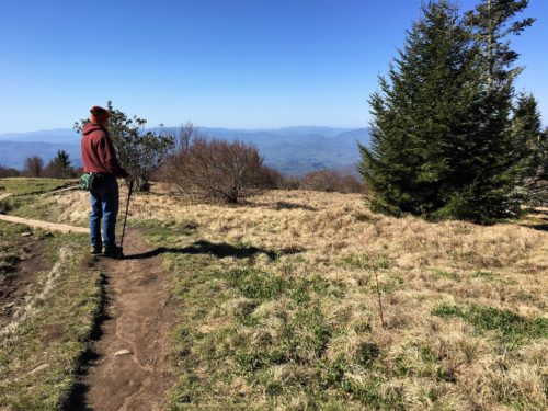
Andrew’s Bald – still cold, but surprisingly warmer here.
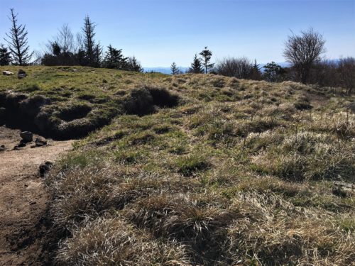
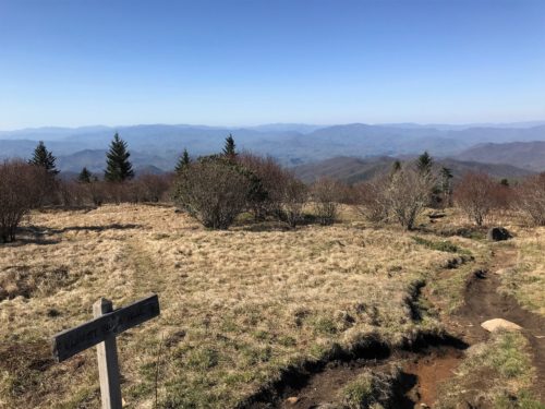
There were a lot of ruts up here
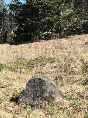
This is out in the middle of the field.
I thought it looked like an old tombstone. : )
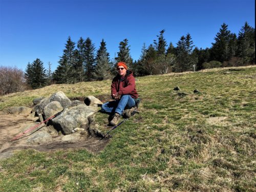
Still cool, but warming fast.
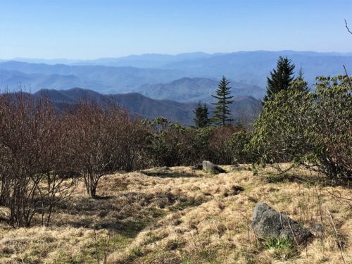
Gorgeous views!
A great place to relax for a bit!
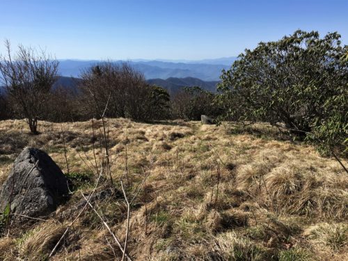
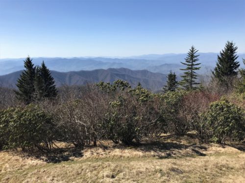
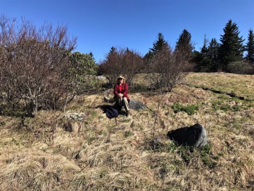
I got rid of my headband, gloves and sweatshirt.
Only three layers left. : )
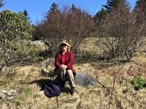
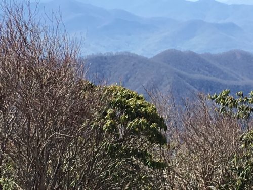
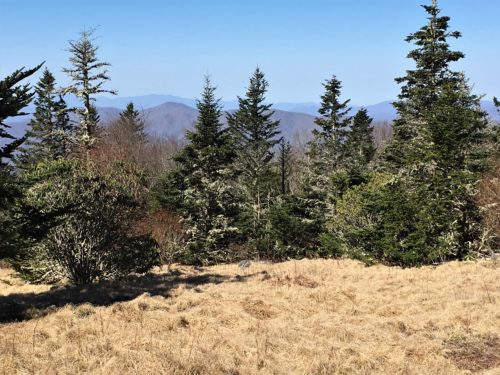
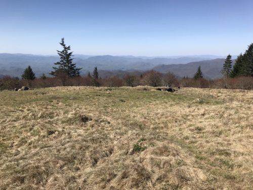
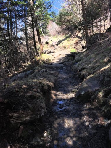
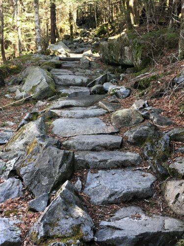
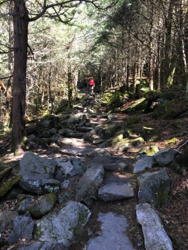
The Bald is named for a cattle herder, Andres Thompson, who brought his cows up here in the 1840’s. My question is, why???? He and his cows must have been pretty desperate. And how many of them fell off the cliff? These are questions I come up with. I have no answers. I’d like to say I thought about it all the way back, but that’d be a lie. I was too busy concentrating on putting one foot in front of the other to think about much of anything else. 😊
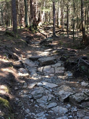
Whew!! Time for lunch! After a short discussion about where to eat (because who wants to eat in the Jeep with all these incredible views surrounding us?), we settled on this spectacular place!
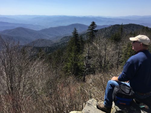
What a view!
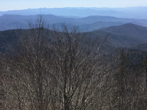
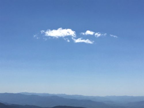
We watched clouds form and dissipate while we ate.
It happened really fast!
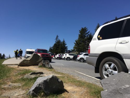
Here’s what was behind us.
People were driving around and walking on that dirt trail to avoid traffic.
Time to take our chances at the Alum Cave trail about a 40 minute drive from Clingman’s Dome. This is a 4.4 mile round trip trek to reach Alum Cave Bluffs (our target) with an elevation change of 1,125 feet. I’m a little tired even writing this . . .
As we approached, there were cars parked waaaaaay down the street – in both directions, but we decided to just drive in as close as we could to look for a spot, knowing we could park further up the road if needed. Blaine always jokes, “I hate having to hike to get to a trailhead.” : )
God blessed us with the perfect opening! A car was pulling out right at the trailhead, just as we pulled in! Thank You, Lord!
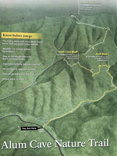
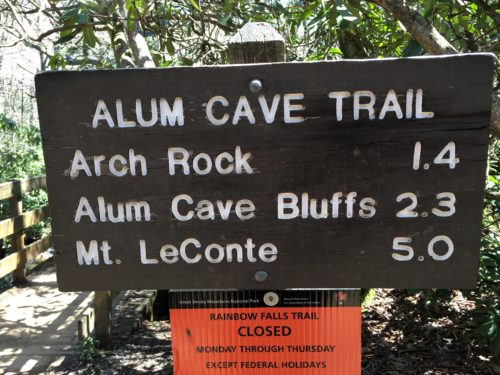
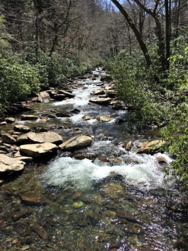
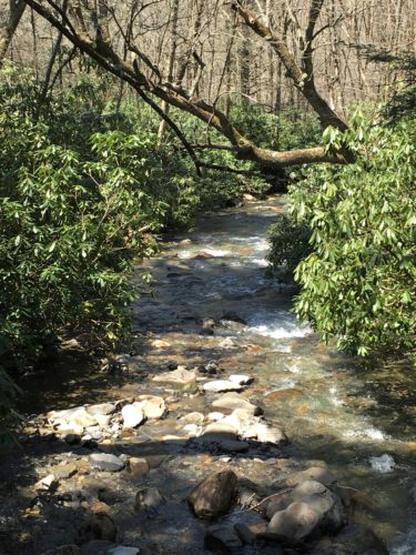
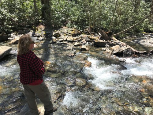
It’s a bit warmer down here. I’m on three layers and long pants.
That will change. . . .
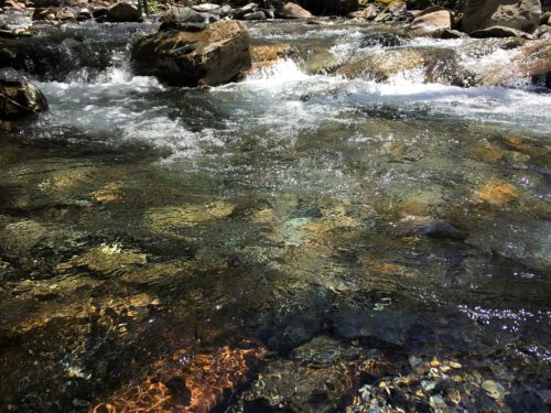
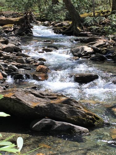
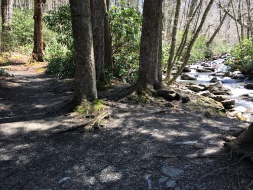
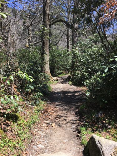
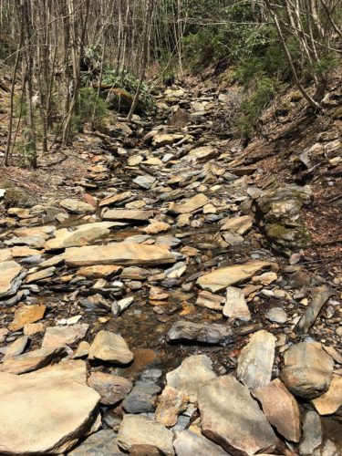
This picture is a good example of what most of the beginning of the trail looked like.
Spectacular!
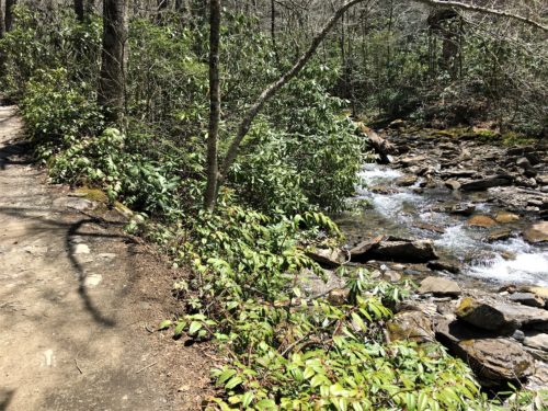
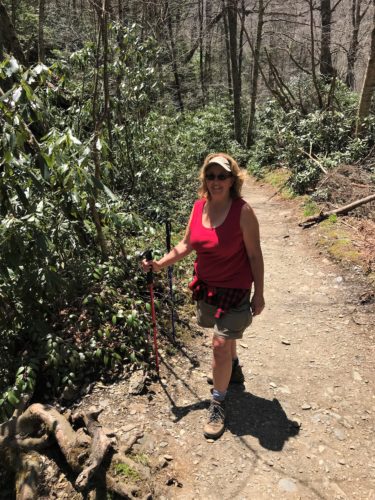
I’ve lost my last two layers and half my pants.
I love my zip-offs!
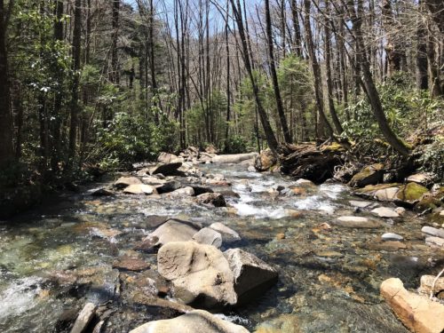
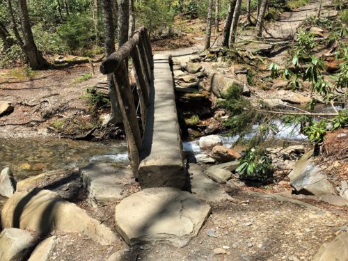
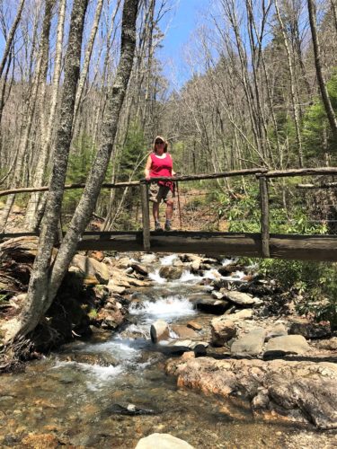
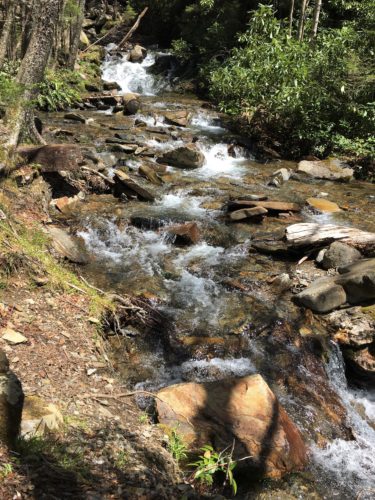
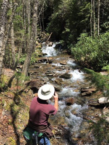
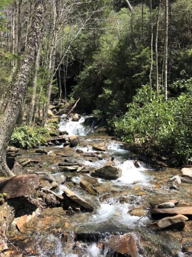
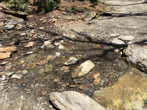
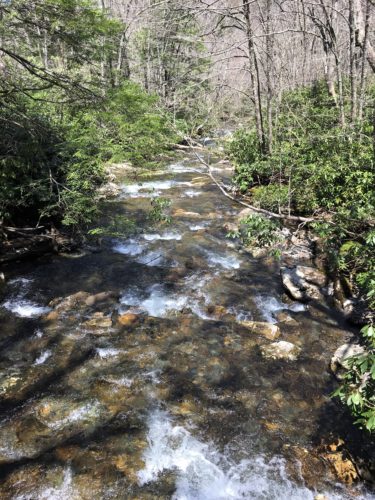
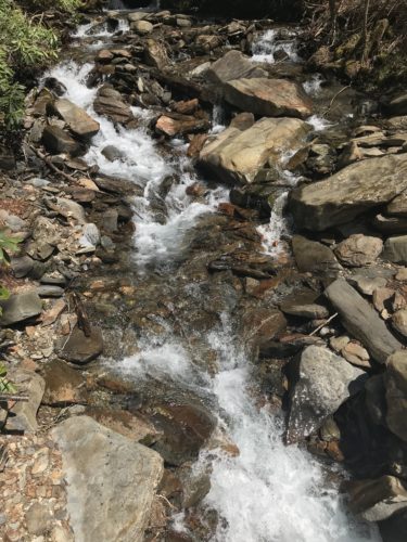
This is only one of several streams we had to cross.
That’s always such fun!
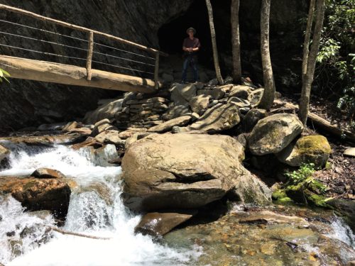
1.4 miles later, and we’ve arrived at Arch Rock.
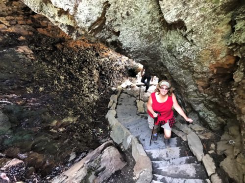
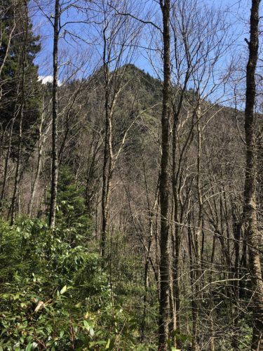
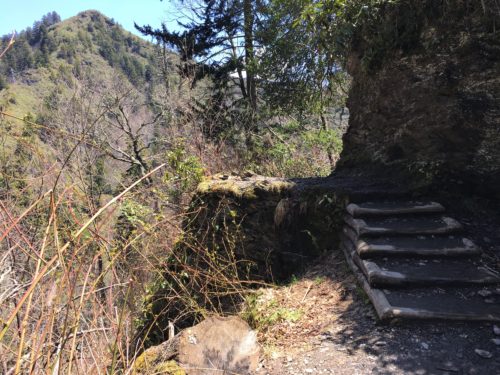
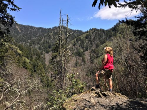
This next area is called Inspiration Point. It seemed to us like we were at the end, but listening to others talk, we decided to press on.
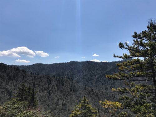
Beam me up, Scotty!
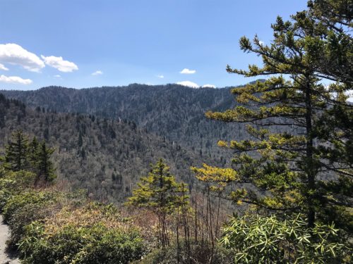
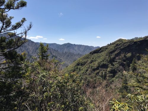
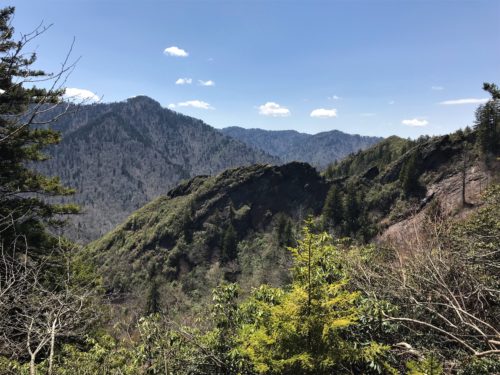
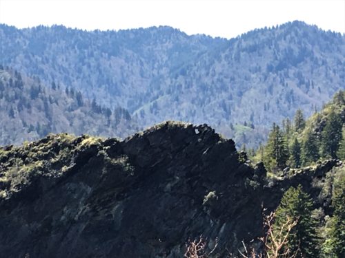
See the hole in the rock just about the middle of the picture?
That’s called The Eye of the Needle.
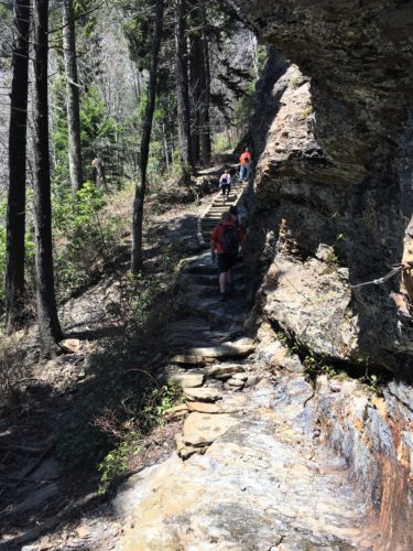
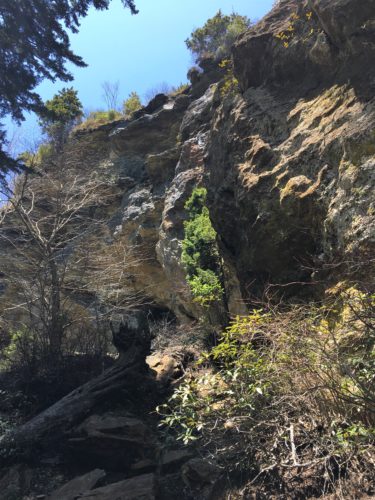
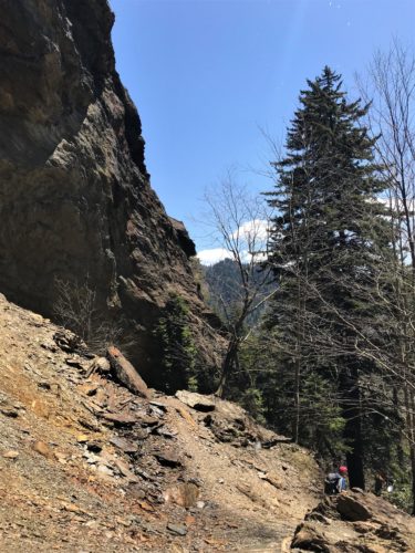
We made it!!!!
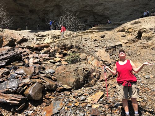
Showers of Blessing!
You can’t see it, but water was dripping off the ledge above us. It was cold, but felt marvelous!
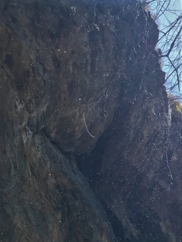
This is the best we could capture the water.
I heard a woman telling someone that her son was here two weeks ago and icicles had formed.
He told his mom they were beautiful, but people had to run down the steps to try to avoid being impaled by them as they dropped off!
They were 2-3 feet long!
YIKES!
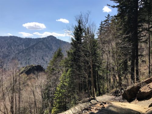
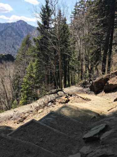
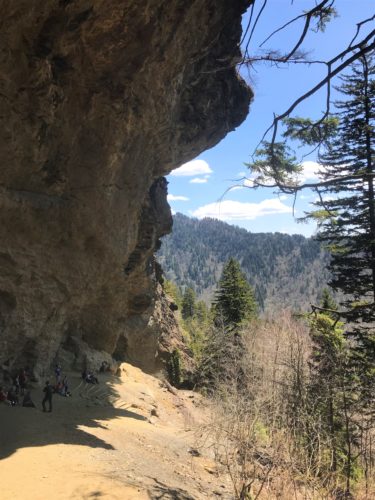
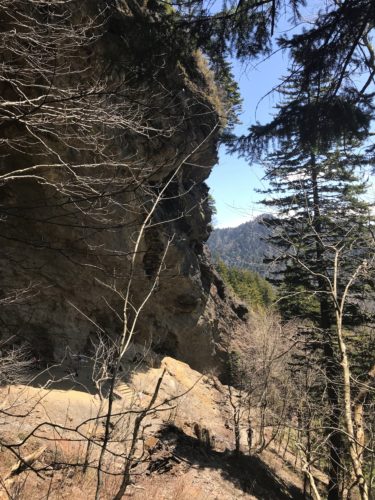
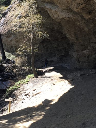
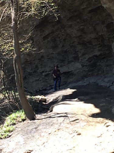
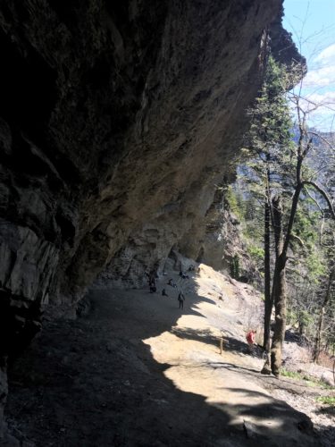
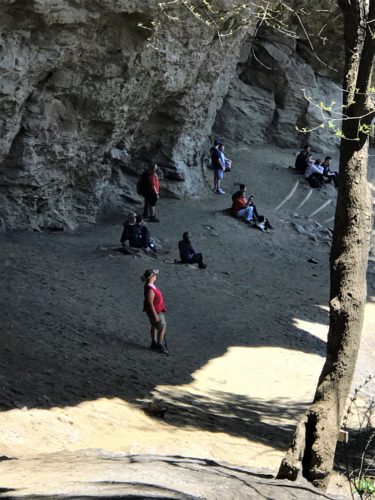
This cave is 80′ x 500′
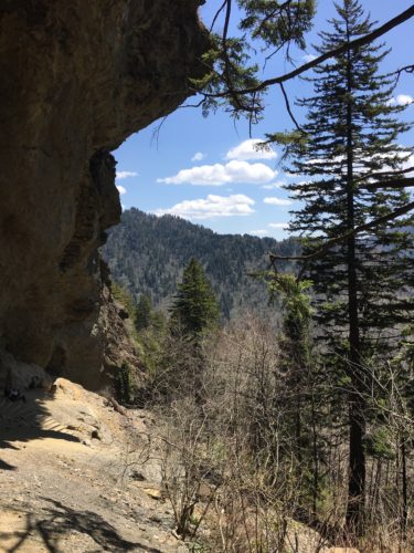
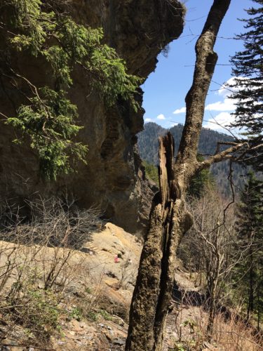
Here’s some interesting information about the cave I discovered accidentally – – The Epsom Salts Manufacturing Company was established here, at the cave in 1838 until it was sold in 1854. They mined Epsom salt from the cave and sold it to the people living in the mountains. They used it to dye homespun cloth a reddish brown. In addition, during the Civil War, the Confederate Army began mining saltpeter from the cave, used in manufacturing gunpowder.
With all that going on, it’s a wonder there’s a cave left!
You can continue on and hike an additional 2.5 miles and incur a total elevation change of 2,763 feet and reach the summit of Mt. LeConte. Remember? Where the llamas take supplies? And hiking is the only way to get there? And you can spend the night in the lodge?
It would have been nice to check it out and see the additional views, but not today. Maybe next year . . . .
Time to head back down and drag ourselves home.
Back down we go!
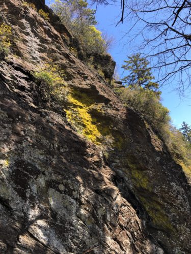
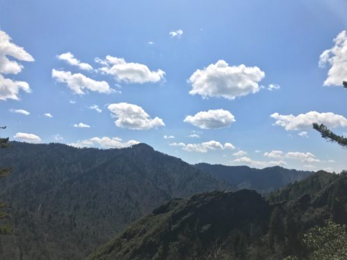
We stopped at Inspiration Point again.
Too pretty to just pass by!
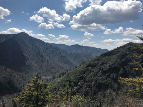
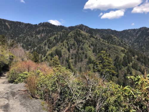
Here’s a video of what is sounded like up there! Something different than water! : )
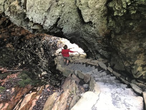
Back through the Arch
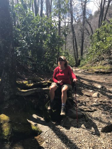
Time to rest!
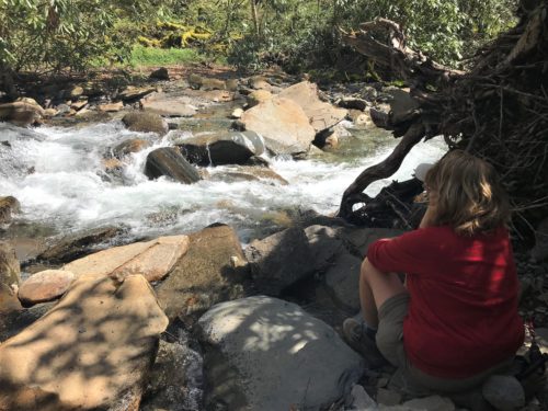
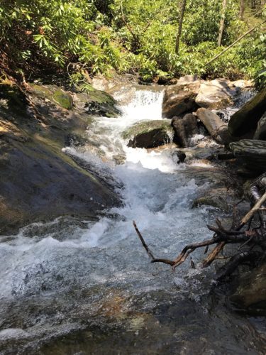
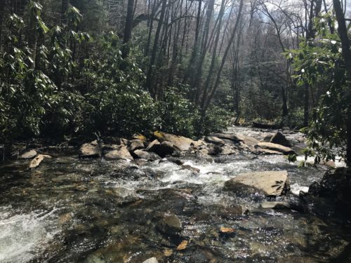
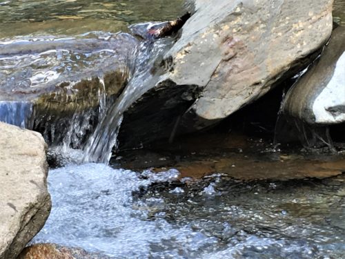
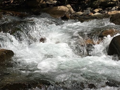
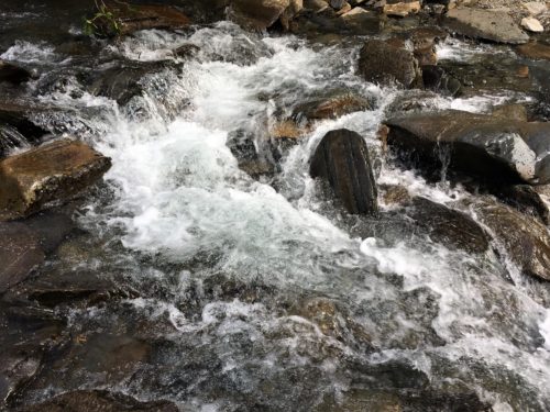
Here’s an even better place to chill for a bit and enjoy the rushing water.
Two shirts around my waist and the legs of my pants in the pocket!
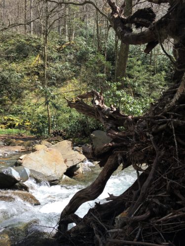
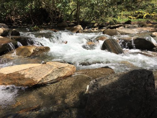
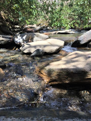
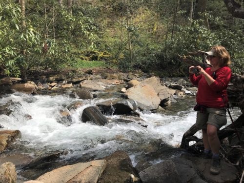
She’s up!
Blaine didn’t really want to stop because we were so tired, but he did it for me. : )
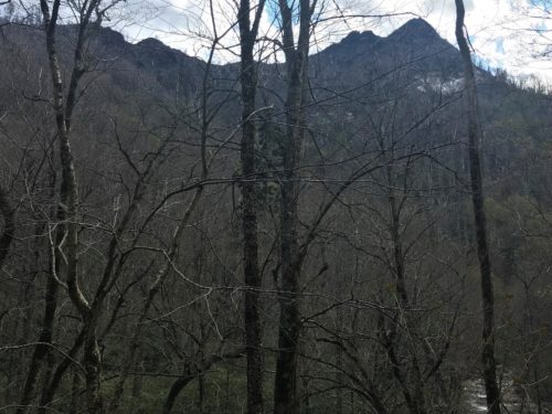
On the way back, we pulled over to take another picture of Chimney Tops.
Good thing I got ’em on the fly this morning!
By the way, can anyone tell me what’s with all the Pancake Houses around here? There must be a dozen or more, and that’s just on the main drag!
One more thing . . . . did someone put a “Hit Me” sign on our Jeep somewhere?
We were almost hit head-on today by someone more intent on sight-seeing than staying on their side of the road! Geesh!!! Good thing Blaine still has his reflexes and a loud horn! Guess God’s not ready for us to join Him yet.
And now, to end with a little something to make you smile! 😊

These (and others) were on the inside of the bathroom stalls. : )

