Keyhole State Park, Moorcroft, Wyoming
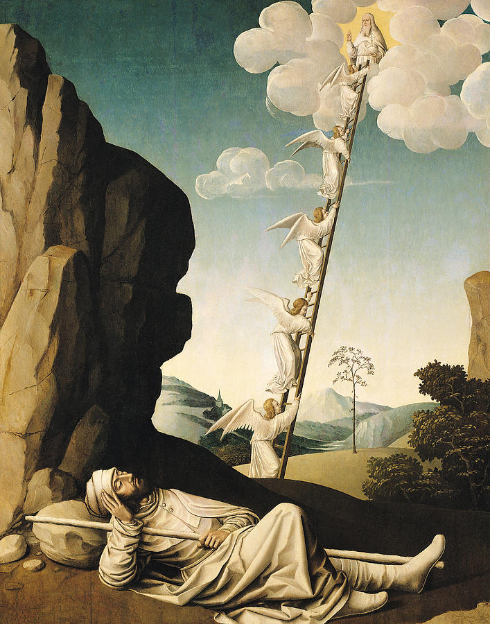
He (Jacob) had a dream in which he saw a stairway resting on the earth, with its top reaching to heaven, and the angels of God were ascending and descending on it. There above it stood the LORD, and He said, “I am the LORD, the God of your father Abraham and the God if Isaac. I will give you and your descendants the land on which you are lying. Your descendants will be like the dust of the earth, and you will spread out to the west and to the east, to the north and to the south. All peoples on earth will be blessed through you and your offspring. I am with you and will watch over you wherever you go, and I will bring you back to this land. I will not leave you until I have done what I have promised you.” ~ Genesis 28:12-15 And with that, God confirms His covenant to Abraham upon the third generation. Our omnipotent God is already aware of the hardships that lie before Jacob, and He promises to be with him and watch over him and never leave him – no matter where he is. And He promises to bring him back to His promised land. Did you catch the correlation between Jacob’s experience and what Jesus said in John 1:51 ‘He then added, “I tell you the truth, you shall see heaven open, and the angels of God ascending and descending on the Son of Man.” I didn’t either, until I looked at my Bible’s footnotes. 😊 Here’s what I learned about the stairway – it’s possible that the angels going up and down are taking messages and reports to and from God. That that is their missive and service to the Almighty. And some believe that the ladder itself is a representation of Jesus, Who came from Heaven to earth, thus creating the means by which we may ascend to Heaven.
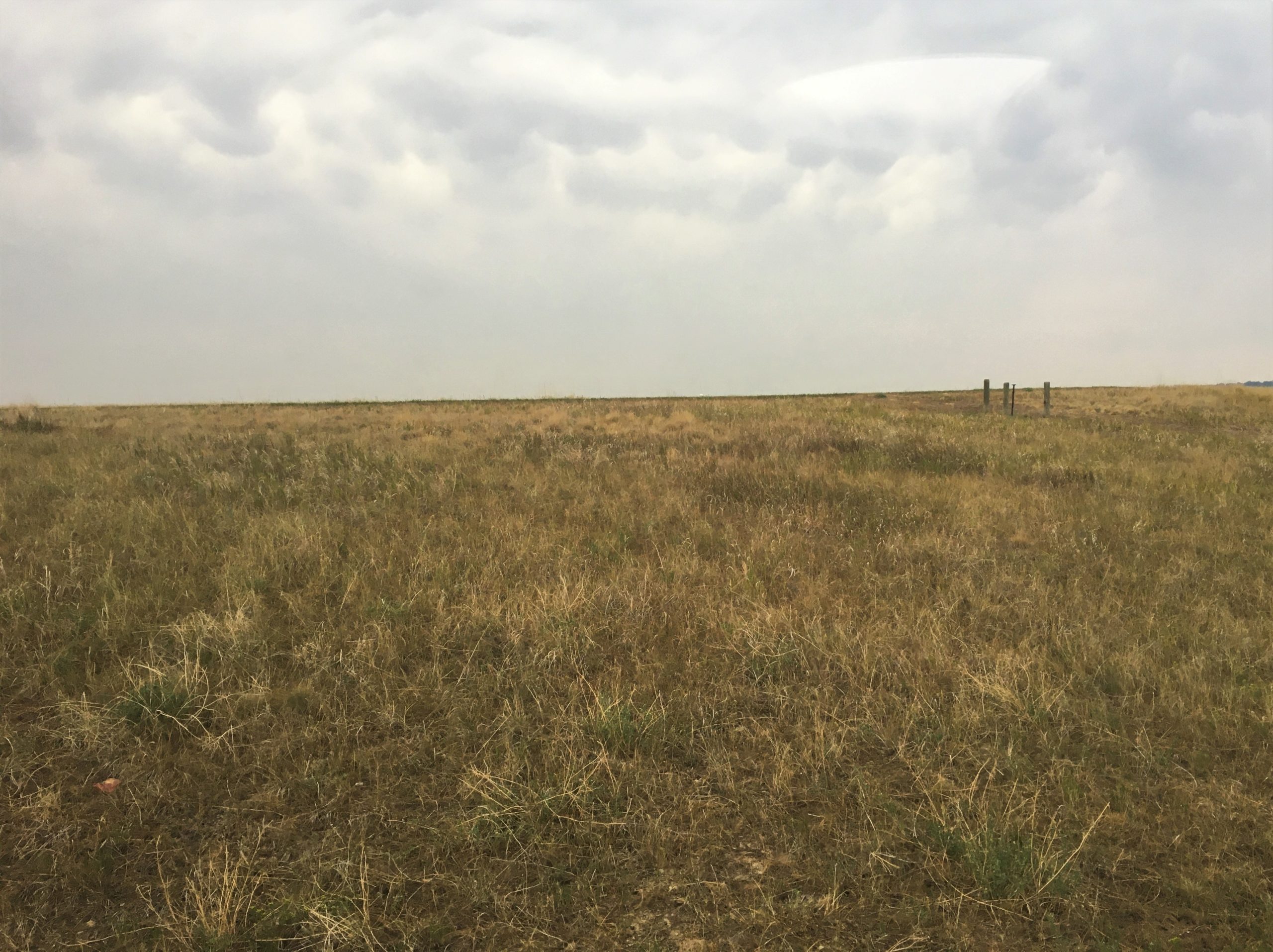
We almost drove 40 minutes for nothing.
Devils Tower is the second closest attraction to where we’re staying now, and the first, we’ve decided not to visit. I’ll go ahead and mention that now. It’s called the Vore Buffalo Jump, and it costs $9/person for a guided tour around a large sinkhole in the ground you can see from the road. Back in the day (1500AD – 1800AD), the Indians used to herd the buffalo over the edge and into the hole to kill or maim and then butcher them. From what you can read on the internet, it seems there are layers of bones from 300 years of this. Seems pretty barbaric to me, and I can’t imagine what someone could tell us about it that would justify $9/person. It’s estimated to contain the remains of 20,000 buffalo.


Now to what we actually did today.
Have you seen the movie “Close Encounters of the Third Kind”? It was filmed here at Devil’s Tower and is the inspiration for Richard Dreyfus’s mashed potato scene. If you’re like us, that’s about all you remember clearly from the 1977 Spielberg movie. We’d really like to watch it again!


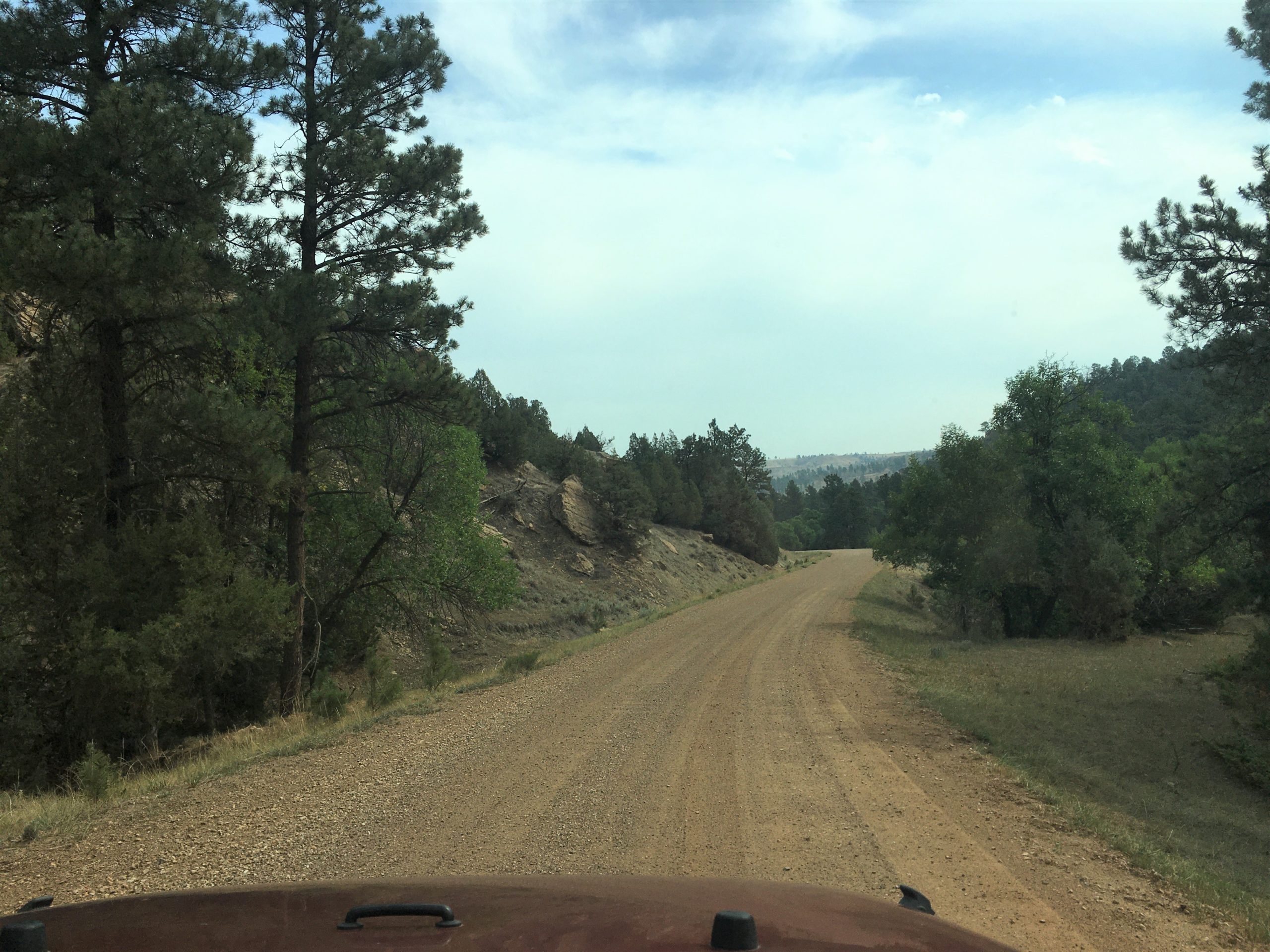
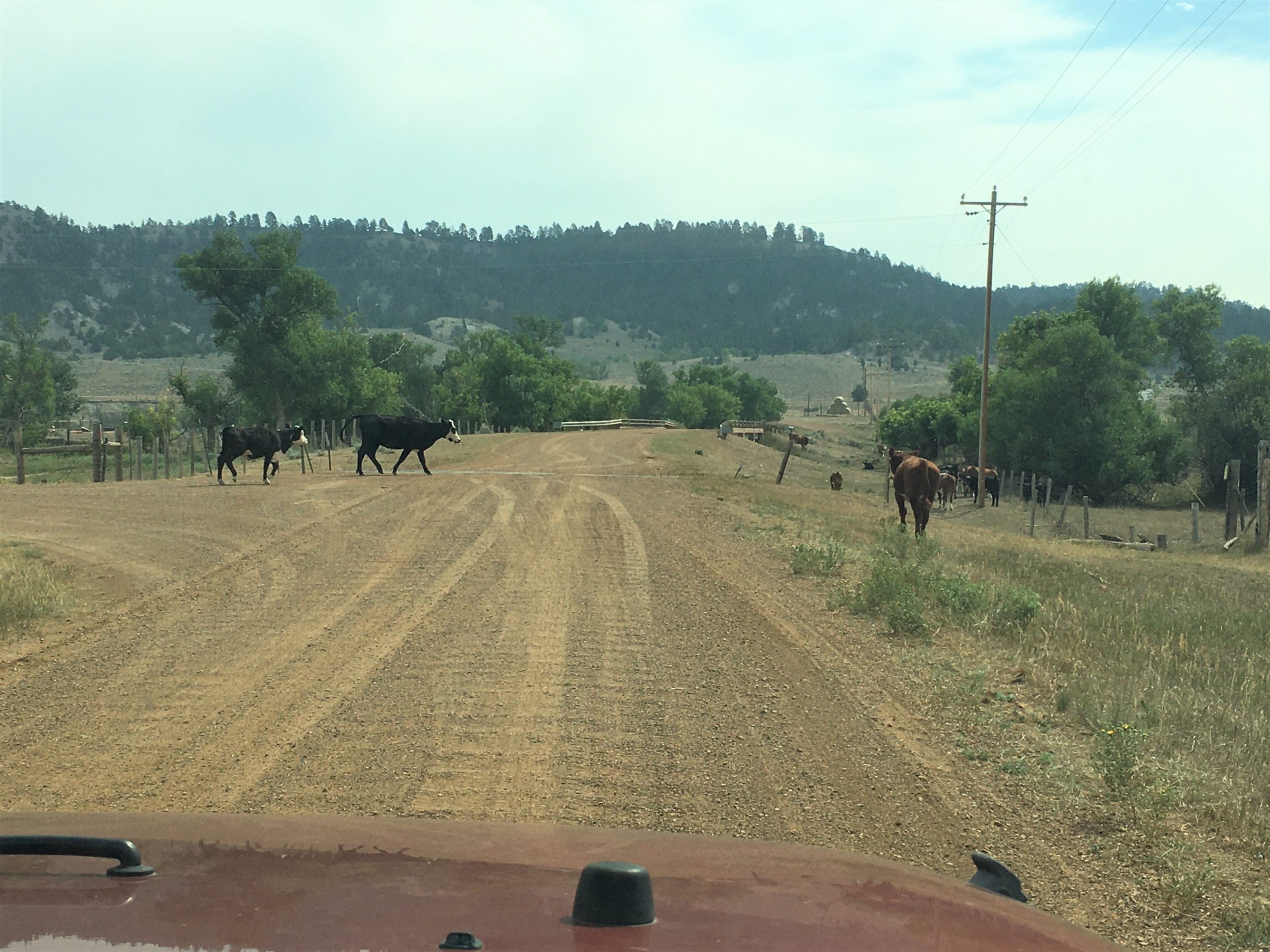
So. we packed a lunch and drove dirt and gravel roads to get to the Devil’s Tower National Monument . . . .
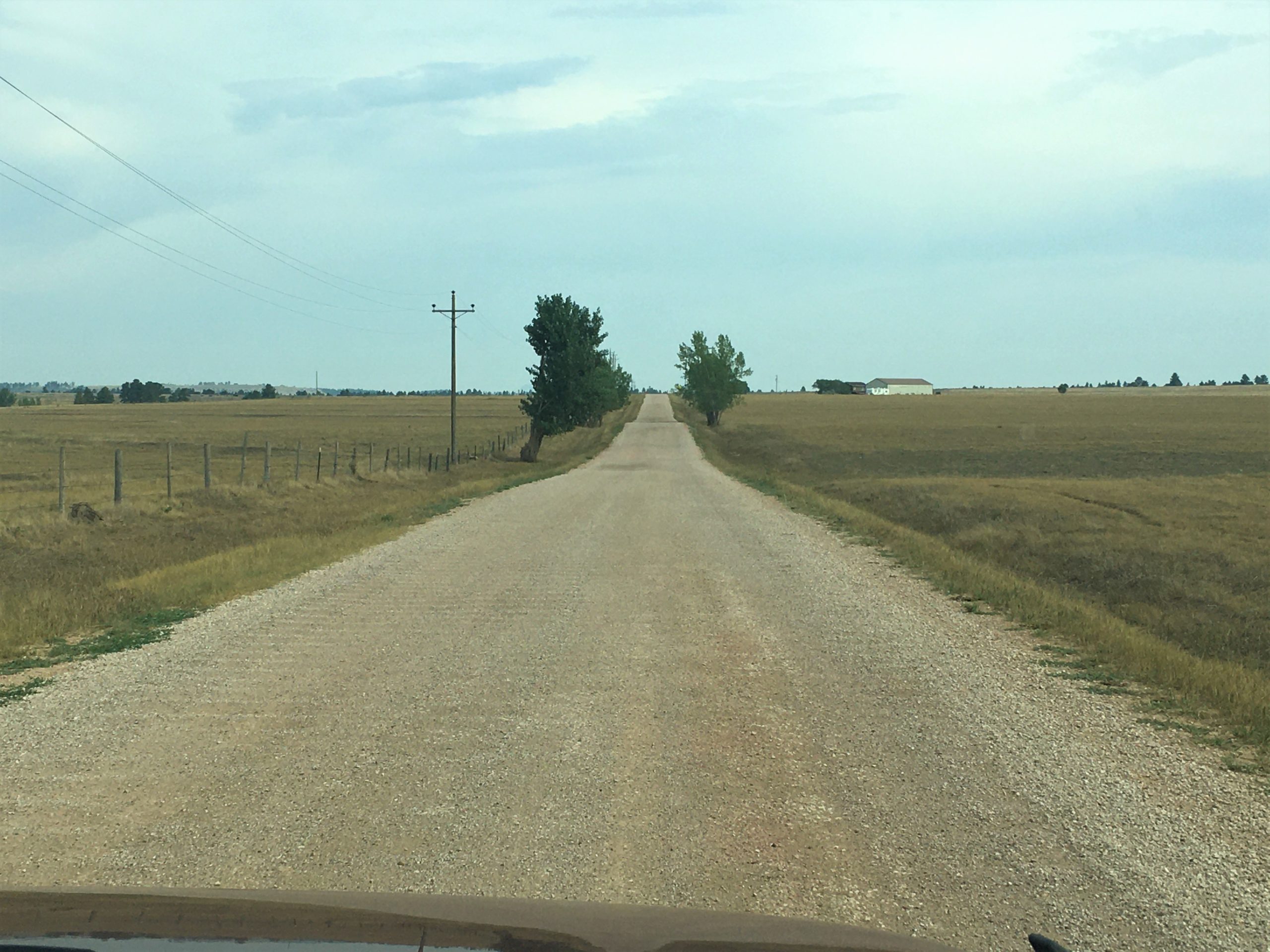
Fate skips a beat and it scares you to death . . .
That’s how your love makes me feel . . .”
Country music fans will understand. : )
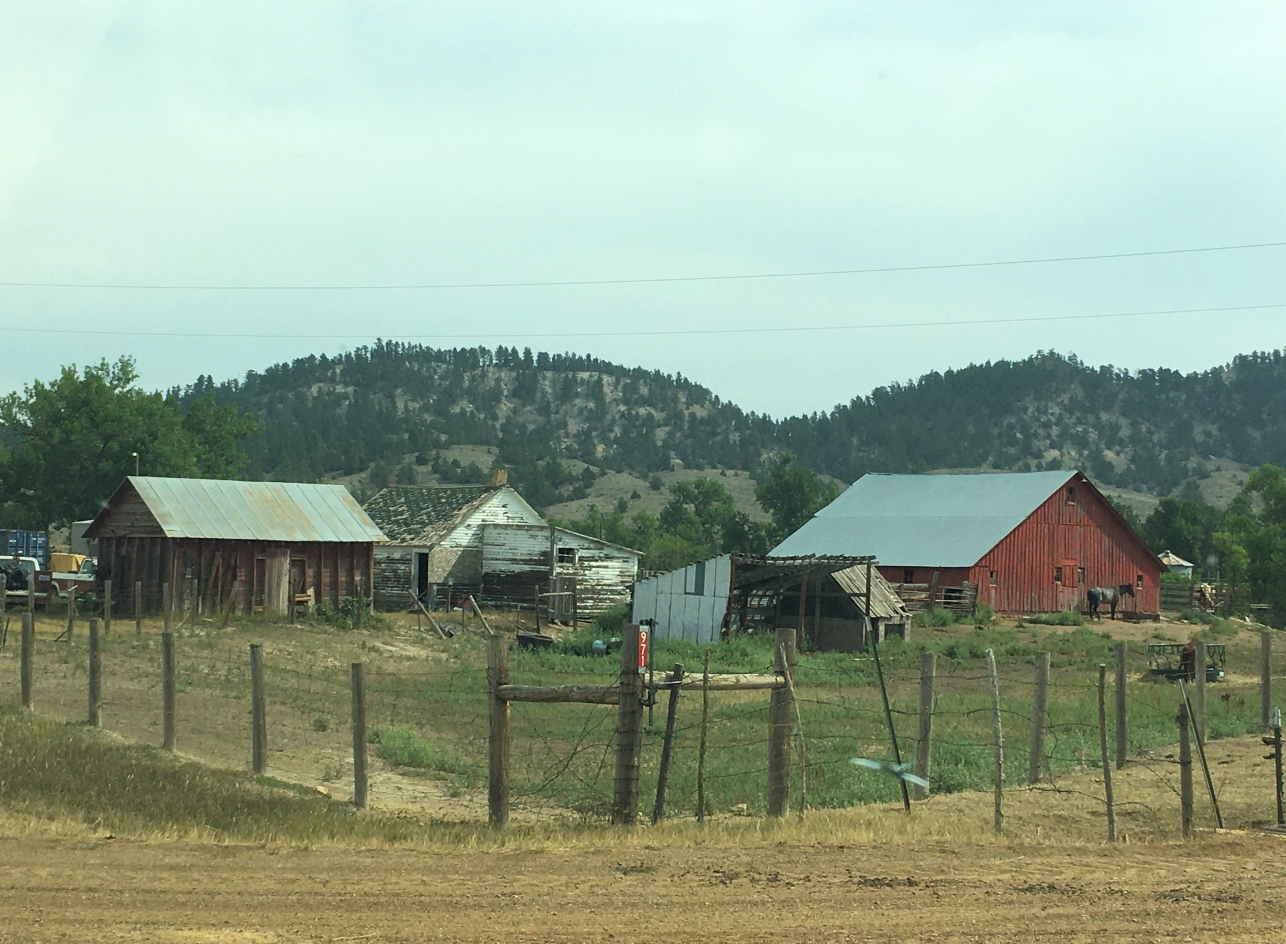
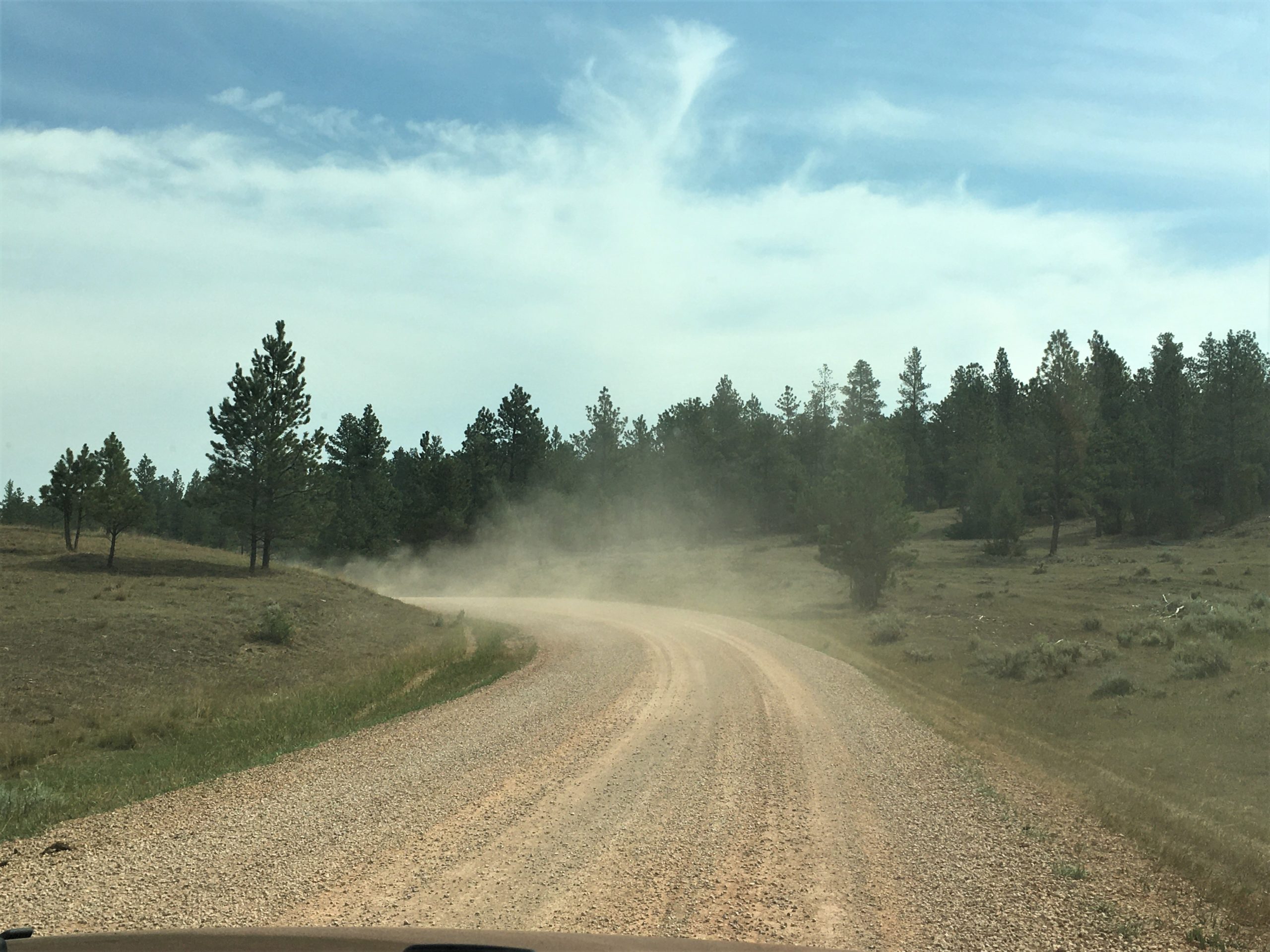
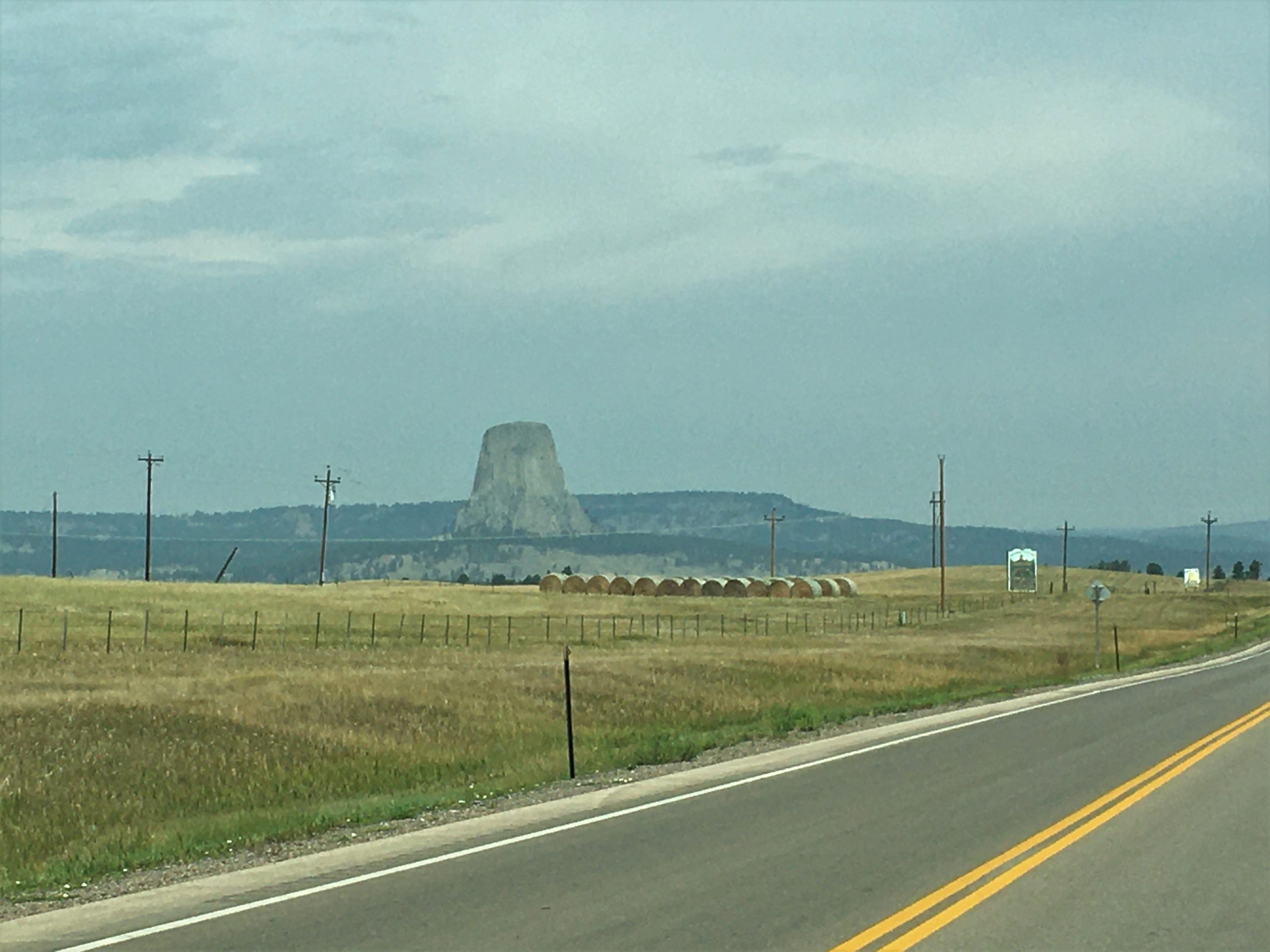
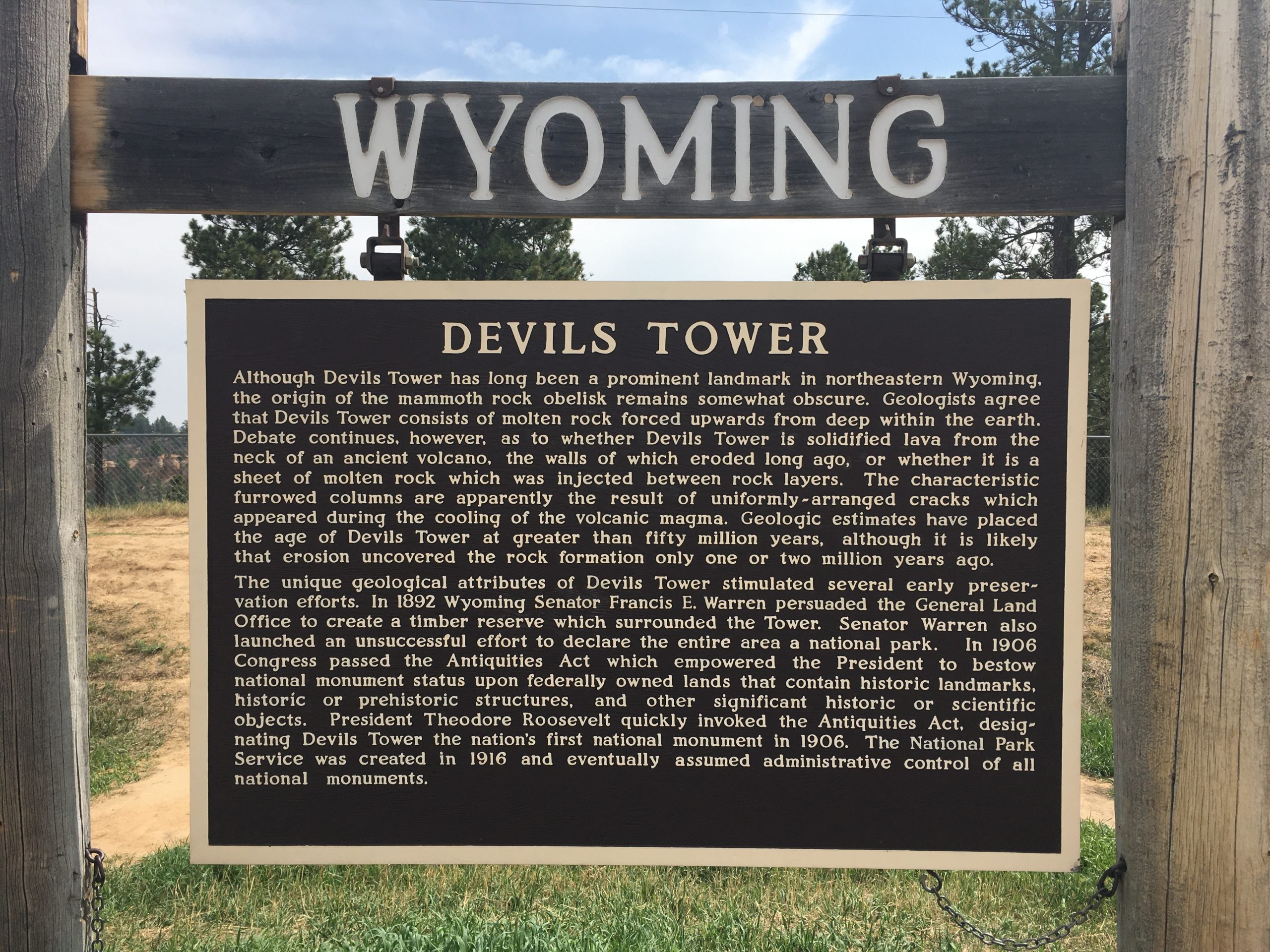
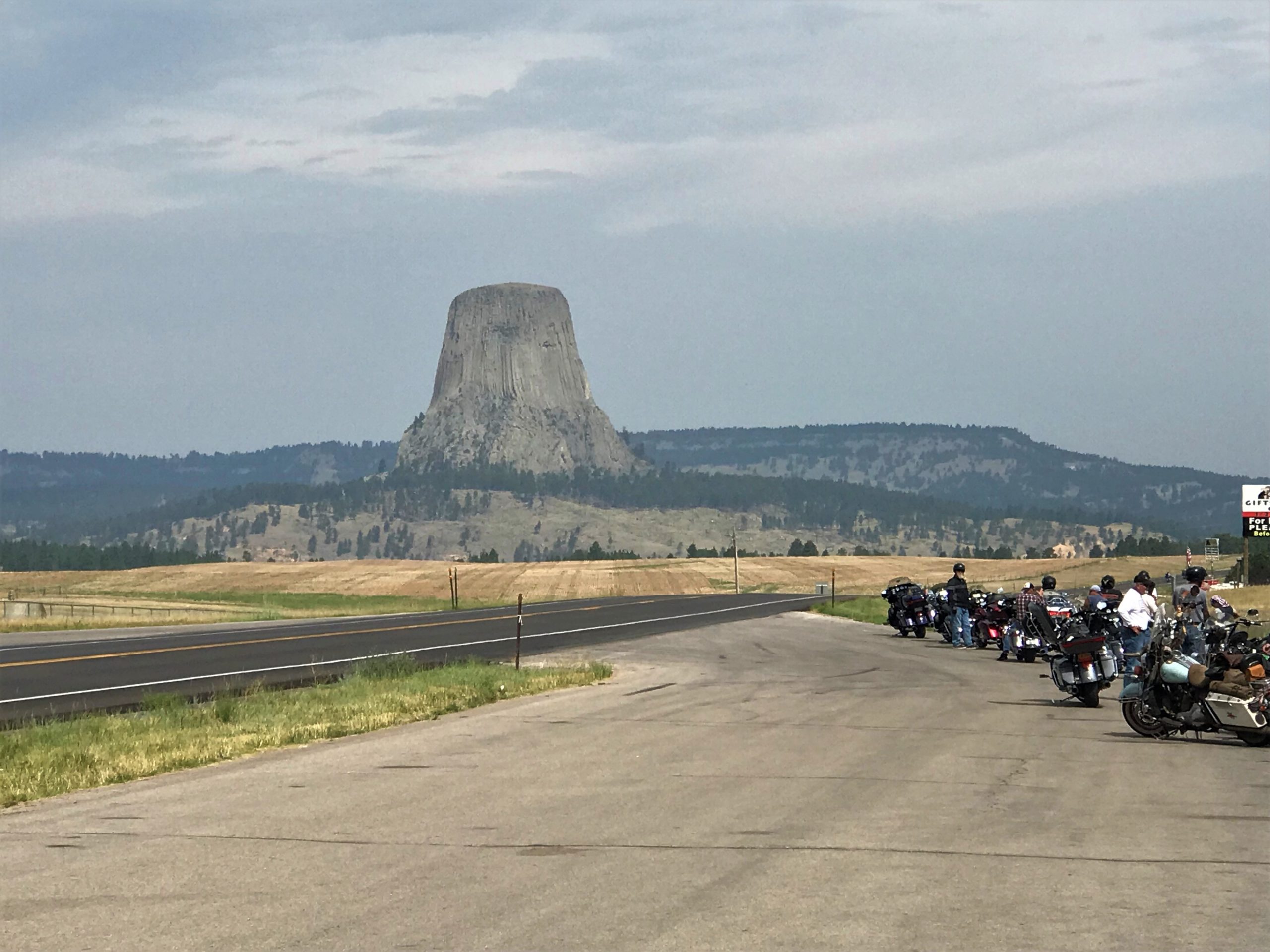
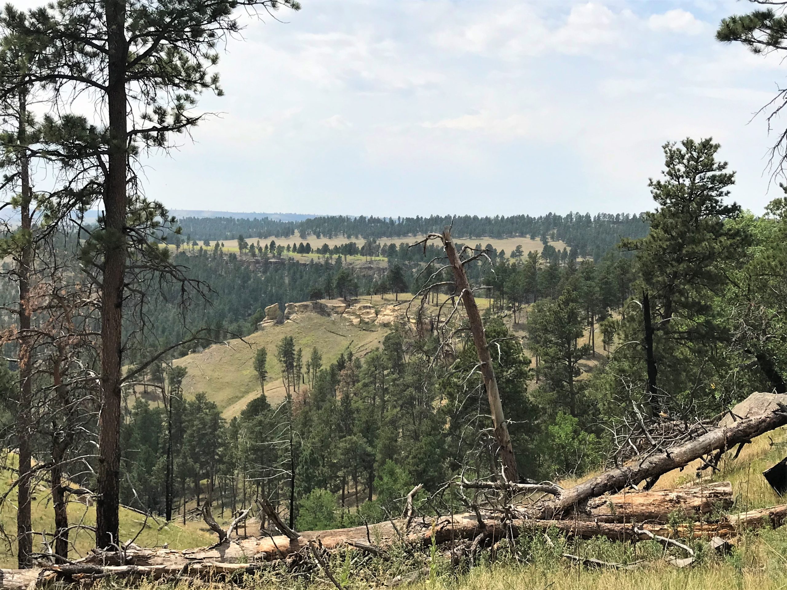
It’s a bit overcast, and still smoky out here.
Everyday, there are more motorcycles.
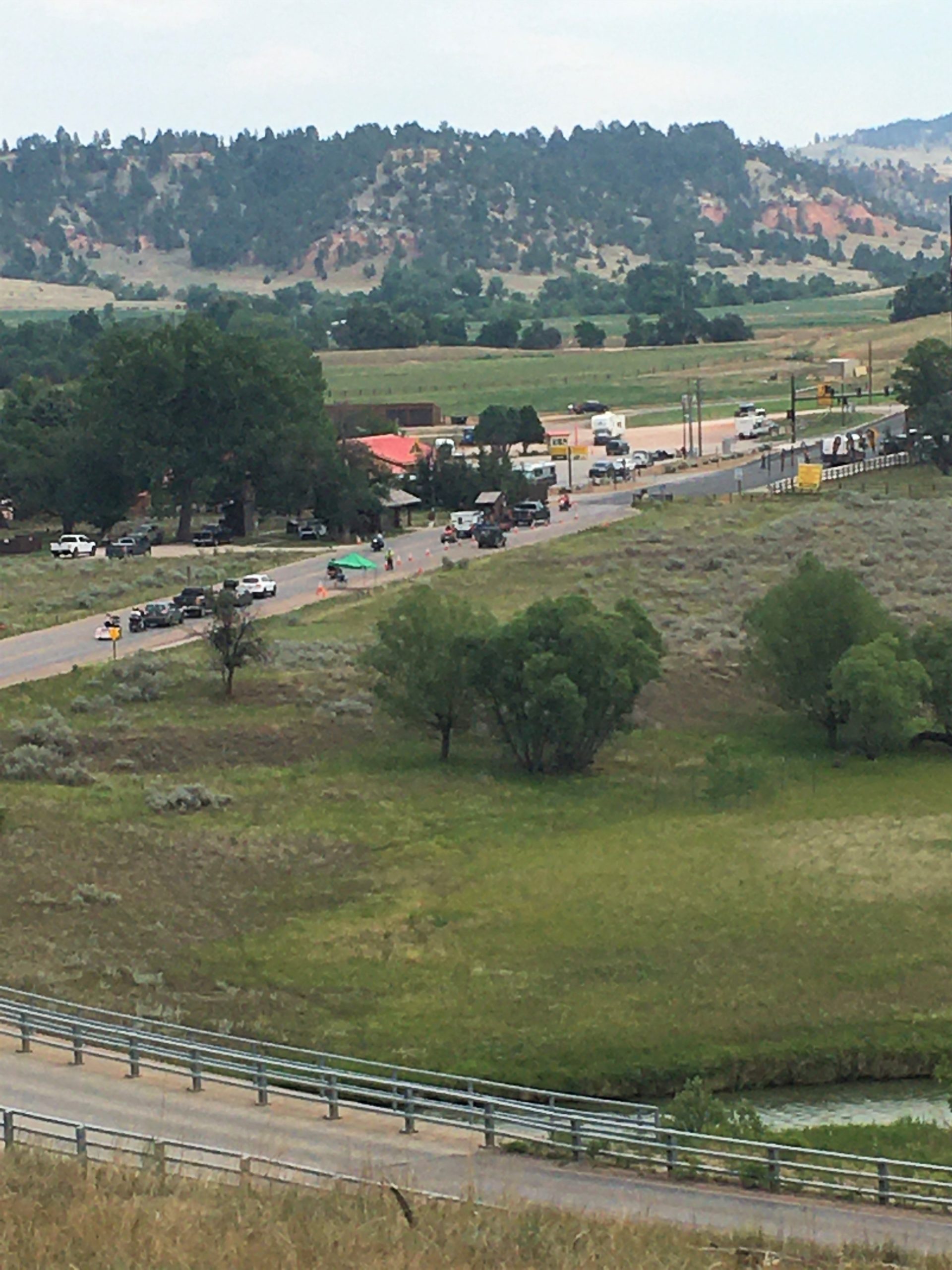
. . . . only to find the parking areas packed full! We thought it was a bit strange when we got to the entrance – which was about a ½ mile drive from the parking lots – and the Ranger said, “Pay when you leave”. It wasn’t long before we discovered why. If you can’t find a place to park, you can’t stay. It’s much easier to pay when you leave than to try to reimburse people who couldn’t find a place to park.
But we have a Jeep. And we really didn’t want to leave. And Blaine’s an excellent driver, and we squeezed in between a pickup and a large rock. Truthfully, it was the absolutely only spot available. And it wasn’t a designated parking spot.
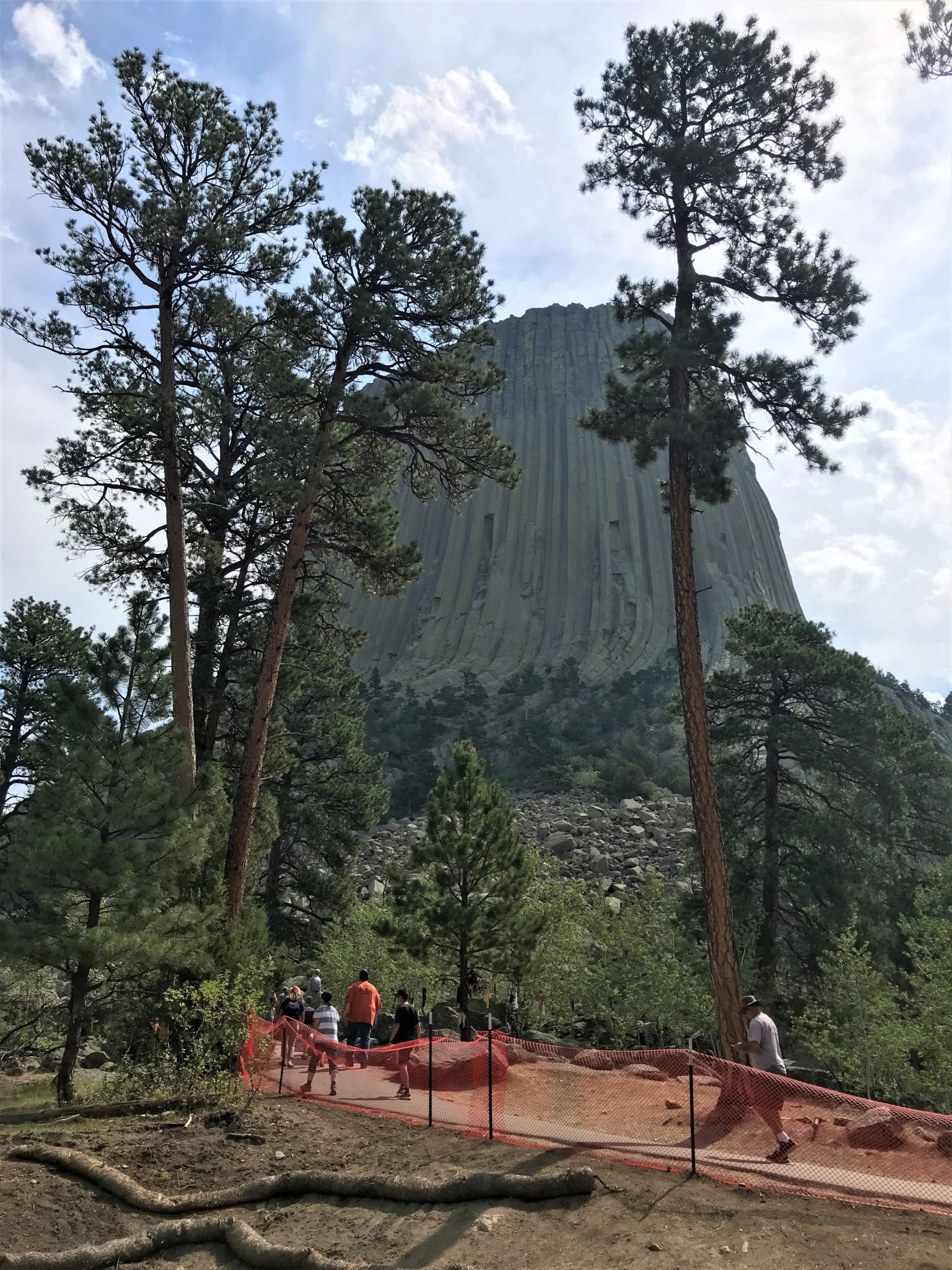
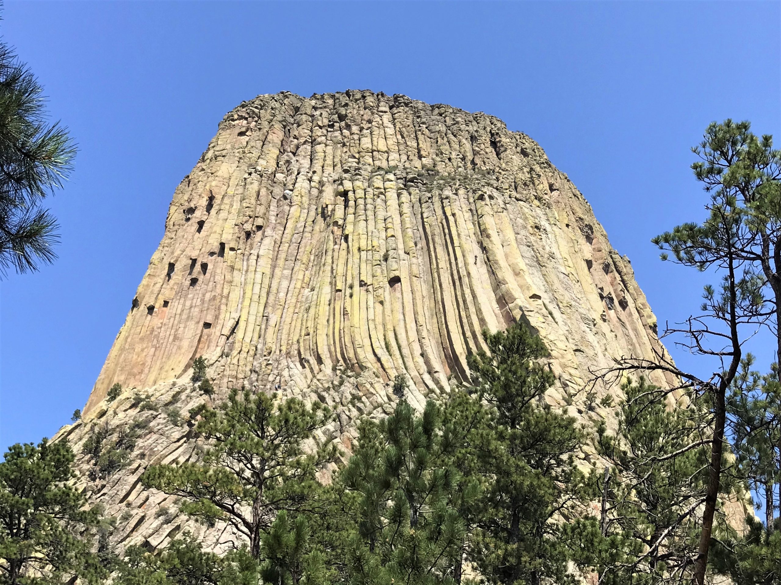
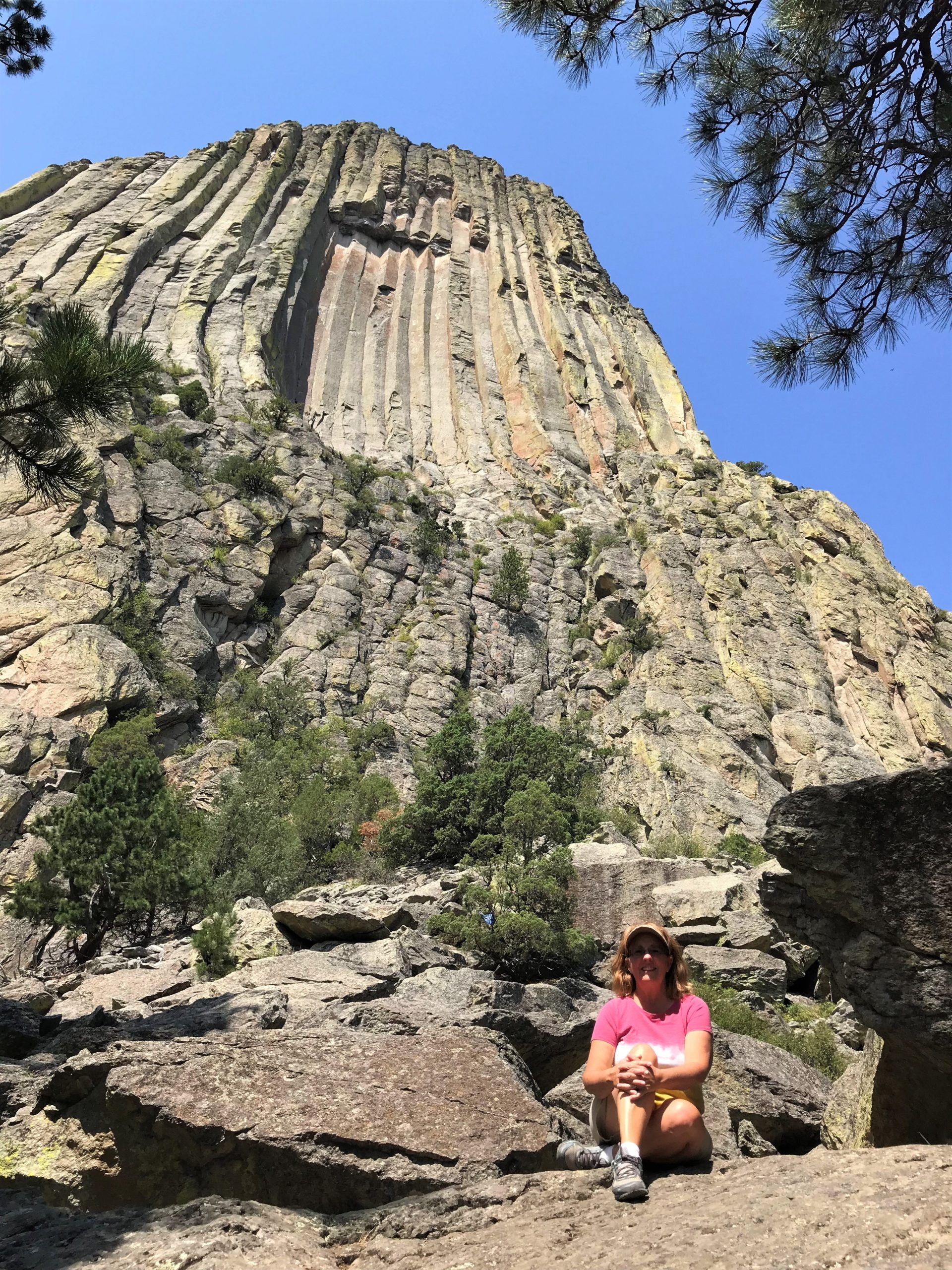
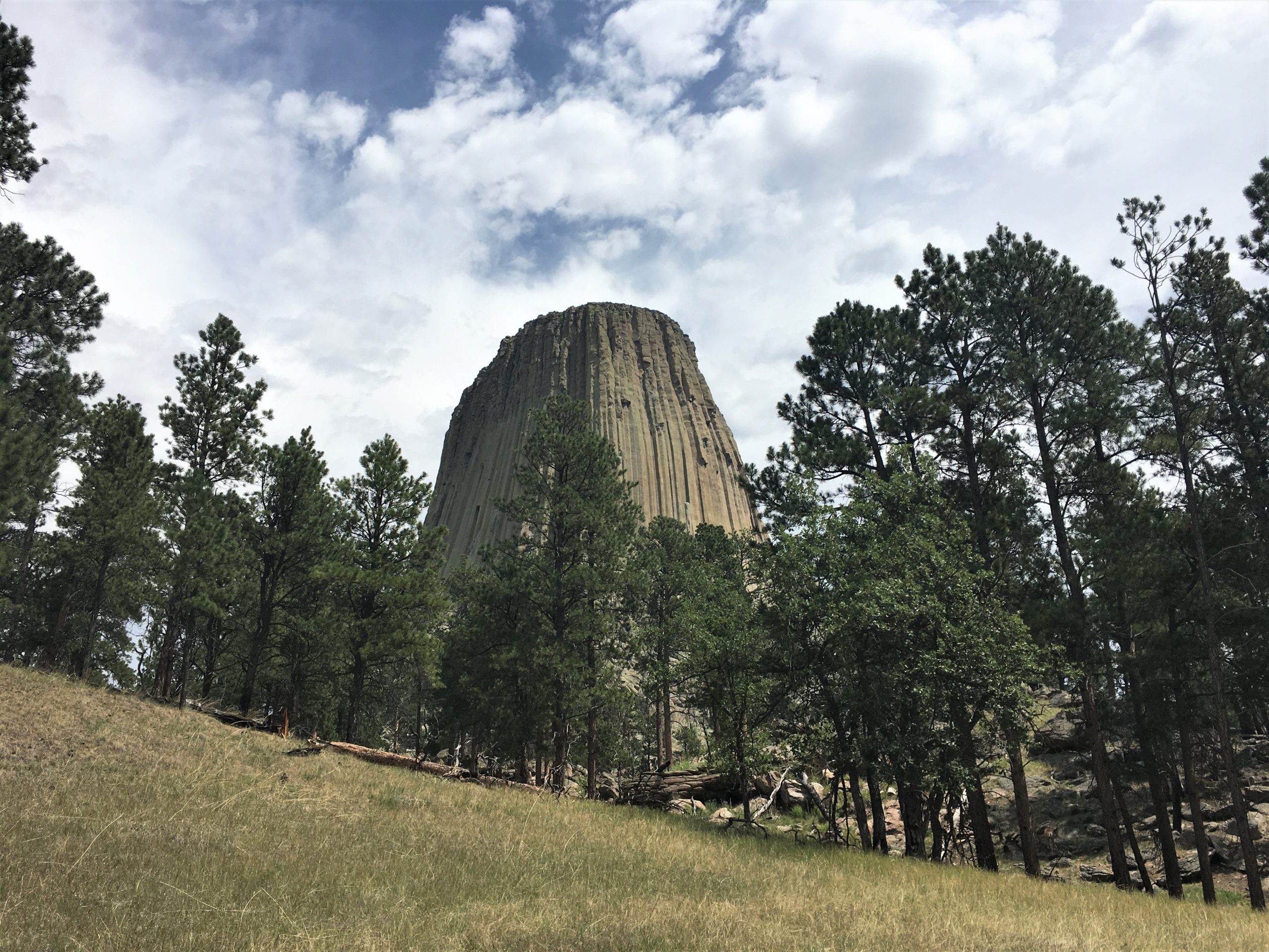
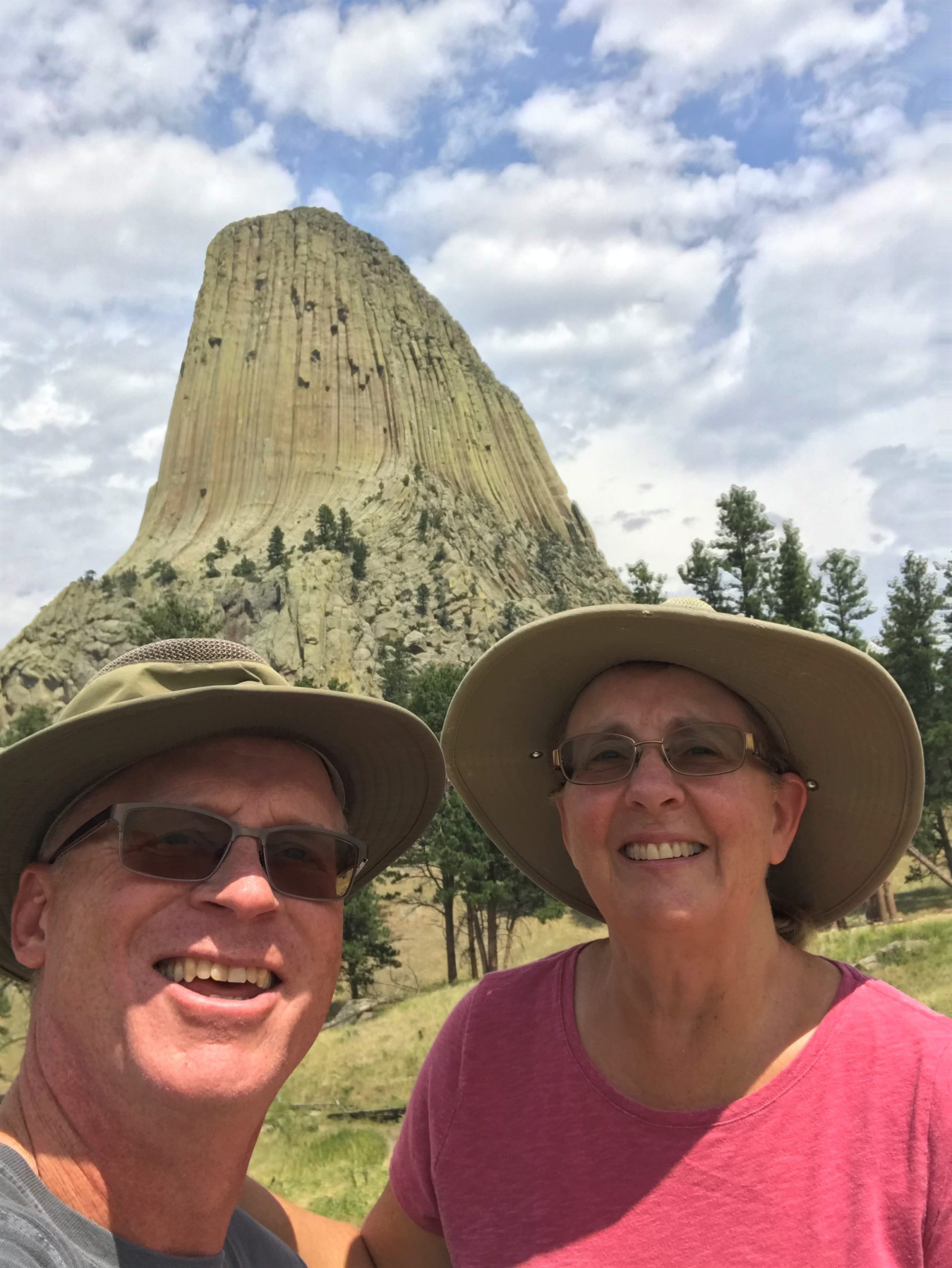
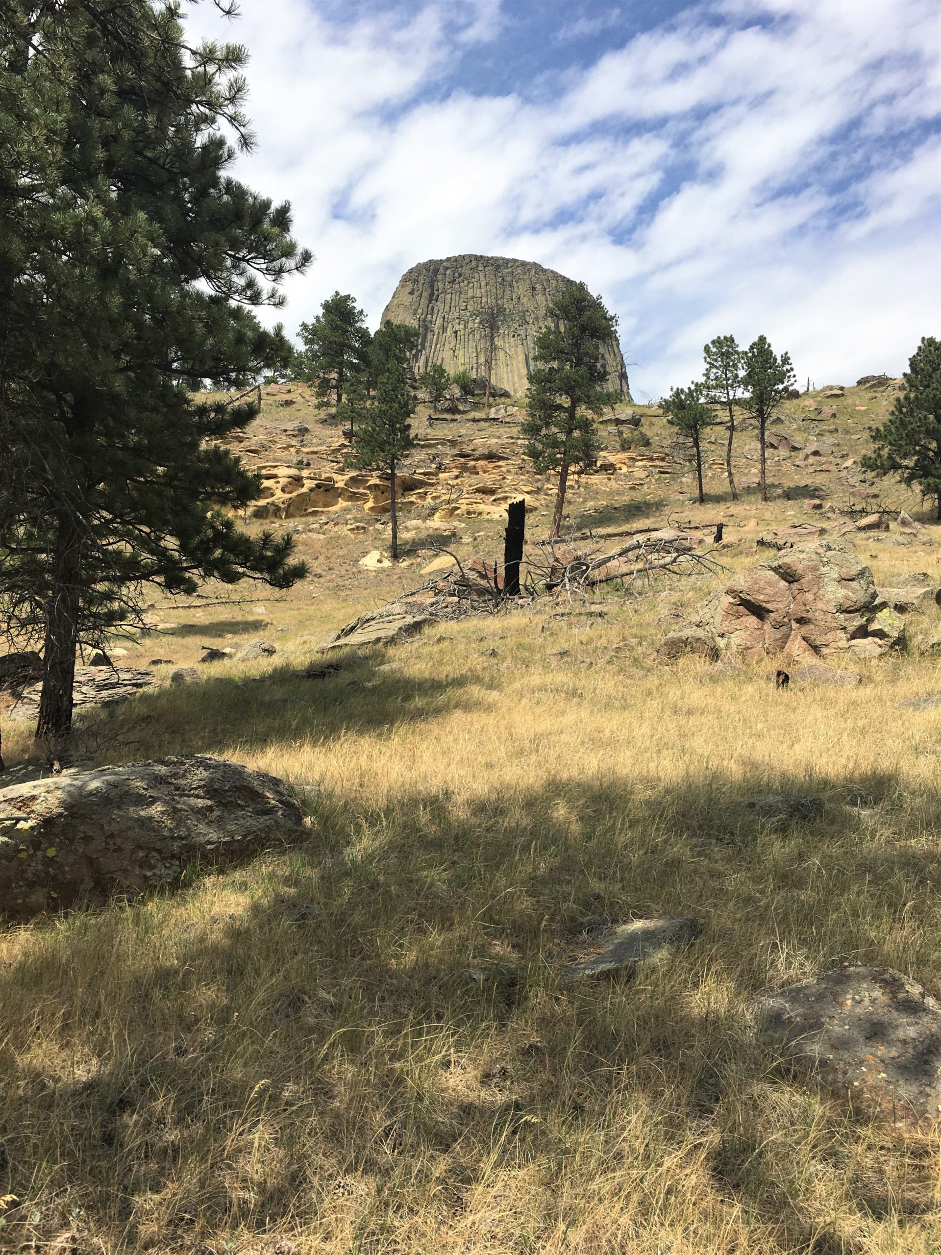
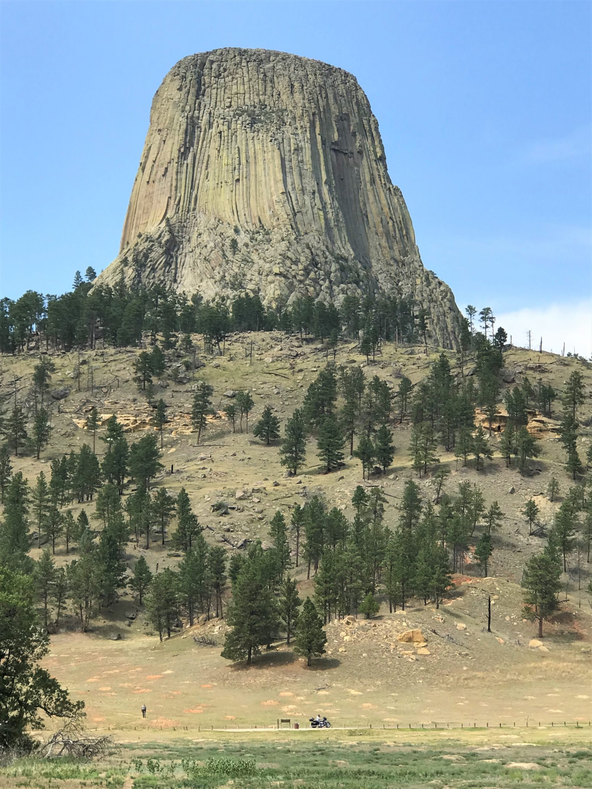
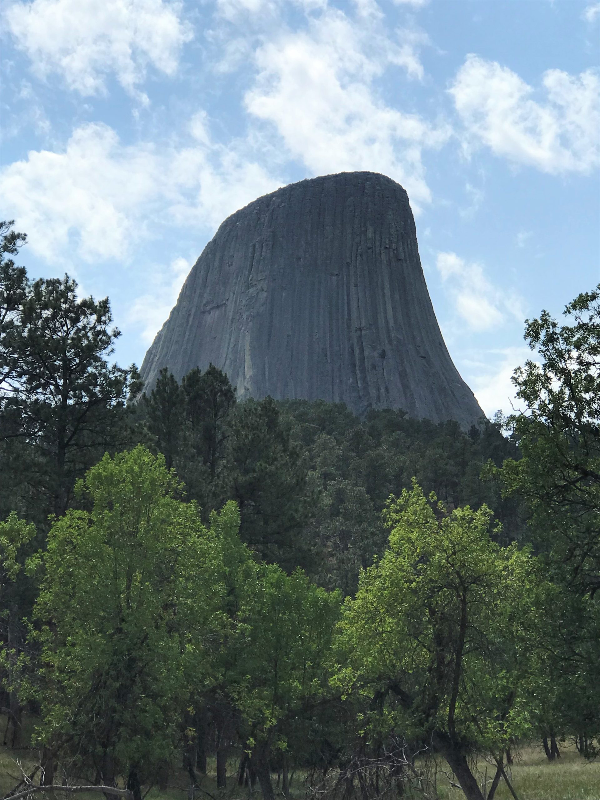
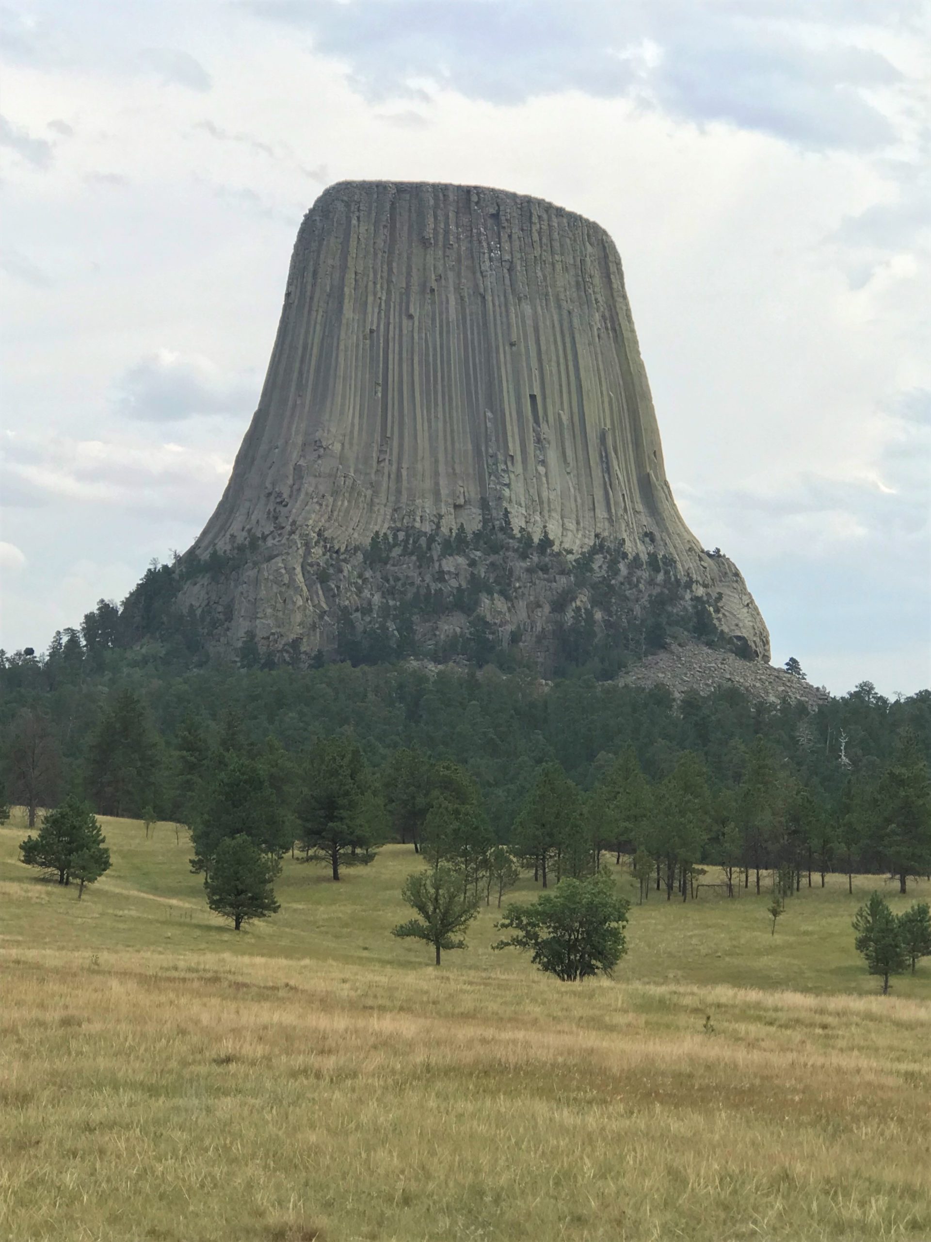
We spent the better part of a day here. What an impressive sight! But how did it get its name?
Richard Dodge. In 1875, he commanded the military escort for a scientific expedition into the Black Hills. Keeping a journal during this expedition, Dodge wrote that “the Indians call this place ‘bad god’s tower,’ a name adopted with proper modification…” And so the label “Devil’s Tower” was created. ~ nps.gov
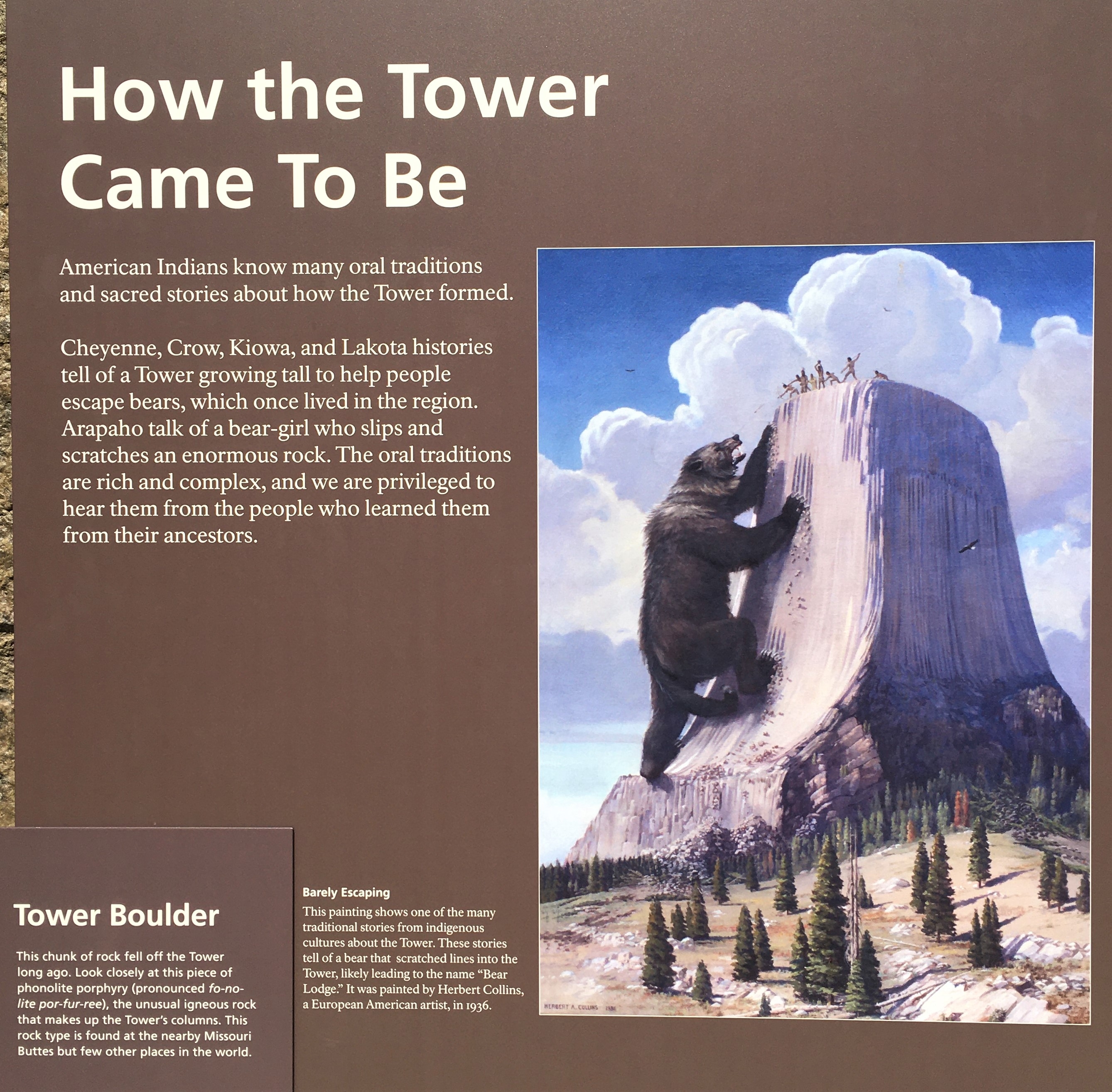
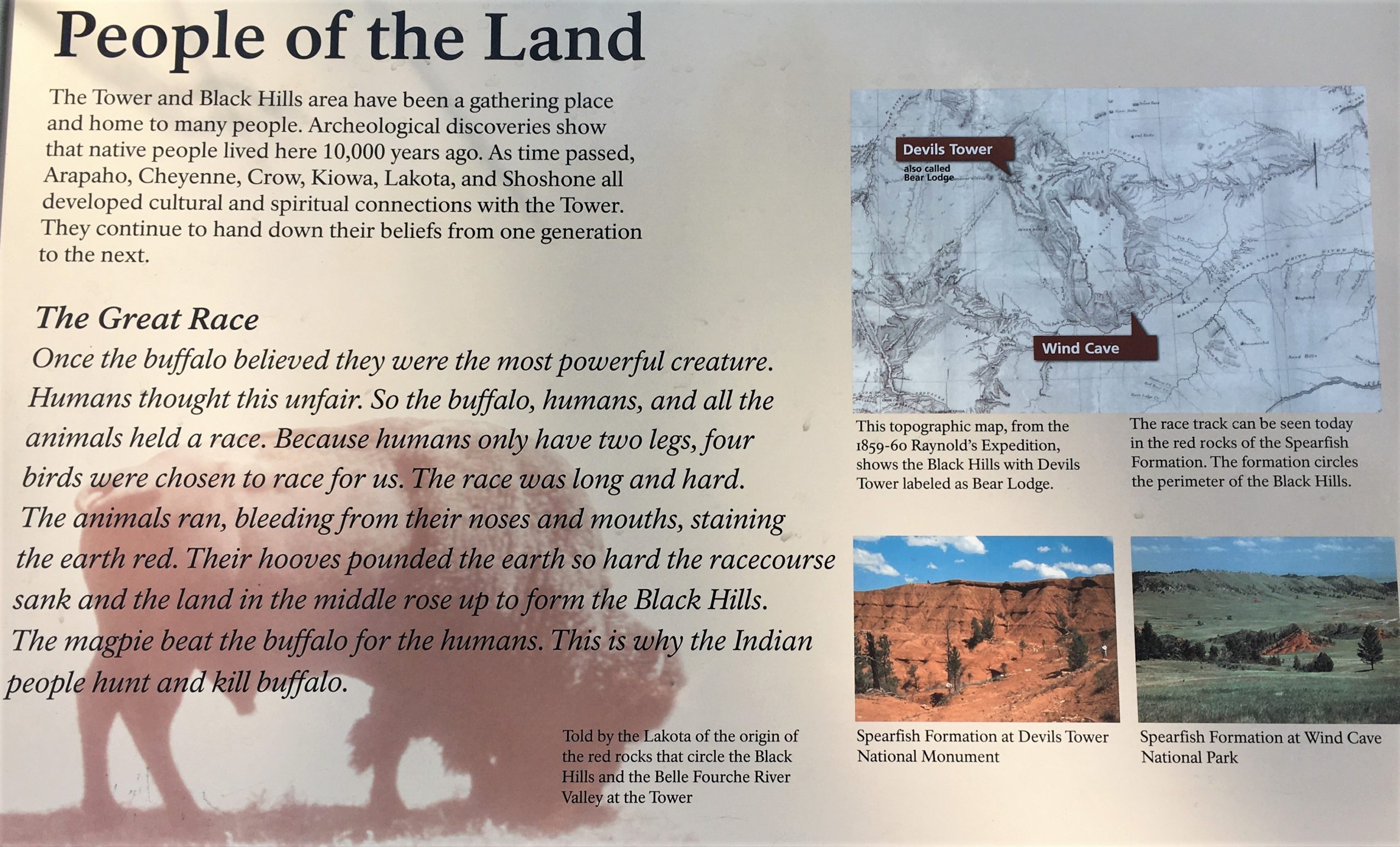
This is one (of many) of the Indian versions of how the mountain came to be (at least the way I remember reading it, because I couldn’t find it again for the post ☹): Seven girls and their brother were out walking, when suddenly the boy began walking on all fours and then became a bear and began chasing his sisters. They were terrified. The Great Spirit told the girls to get on top of a tree stump, and they did. Then the Great Spirit raised the stump up higher and higher and the boy/bear began clawing all around the stump. Eventually the girls were lifted up to the heavens where they became the Pleiades. That’s the seven star cluster, also called The Seven Sisters. I can’t remember what happened to the boy!
We began our visit with a pretty easy walk around the base. They have it paved. And as you can imagine, it was pretty crowded. I was starting to feel a bit claustrophobic as I tend to do in large crowds. 😊
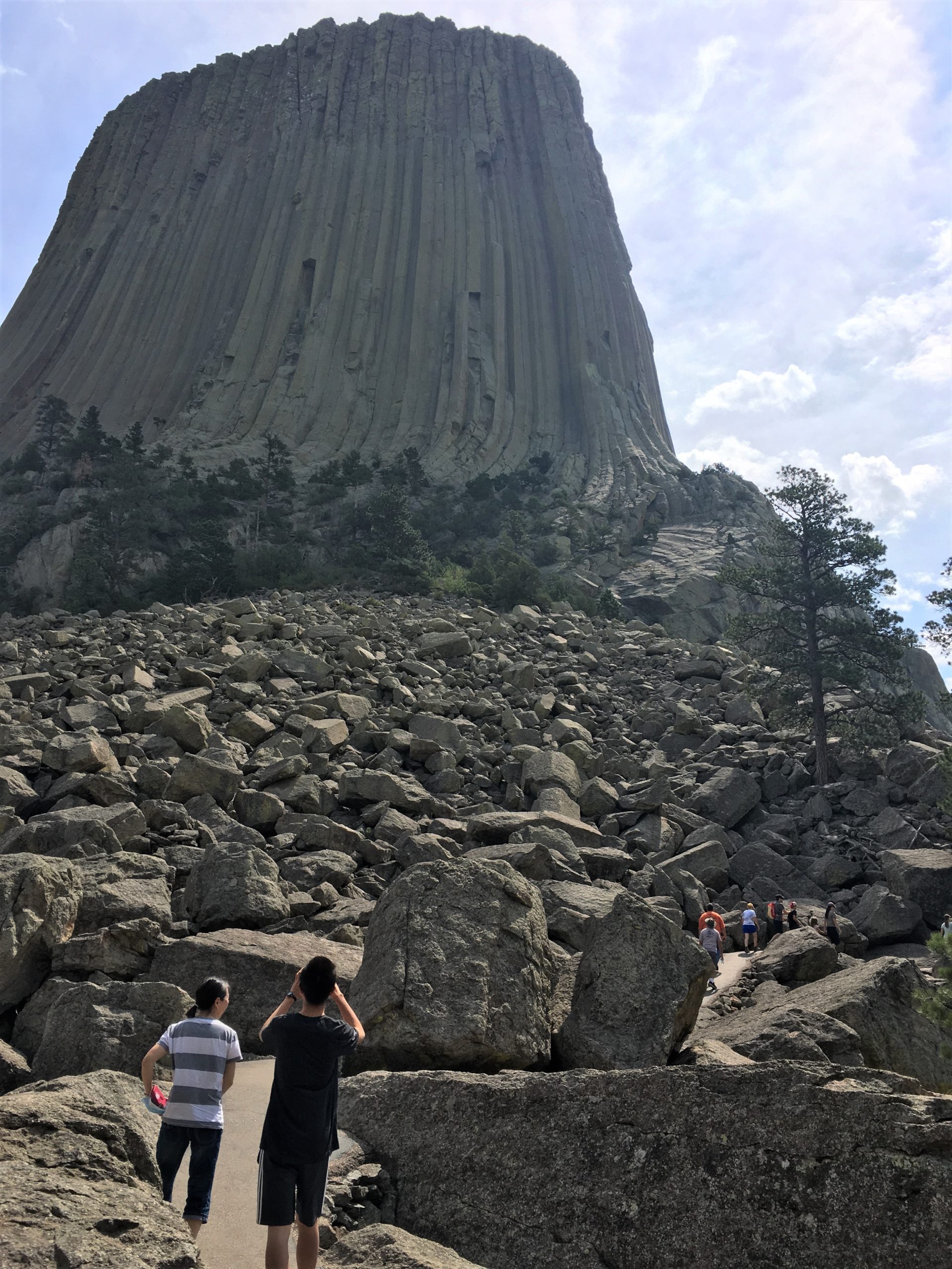
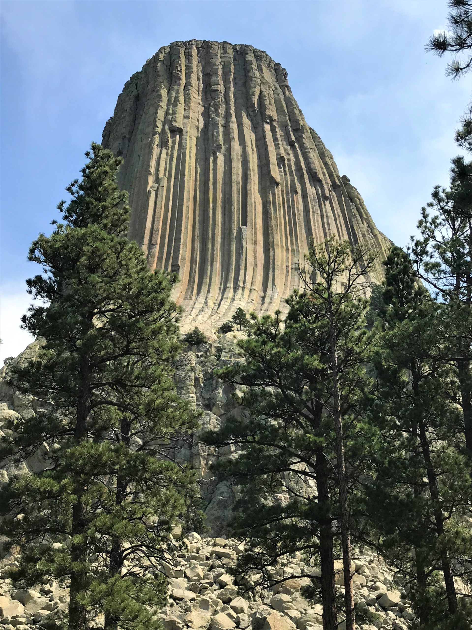
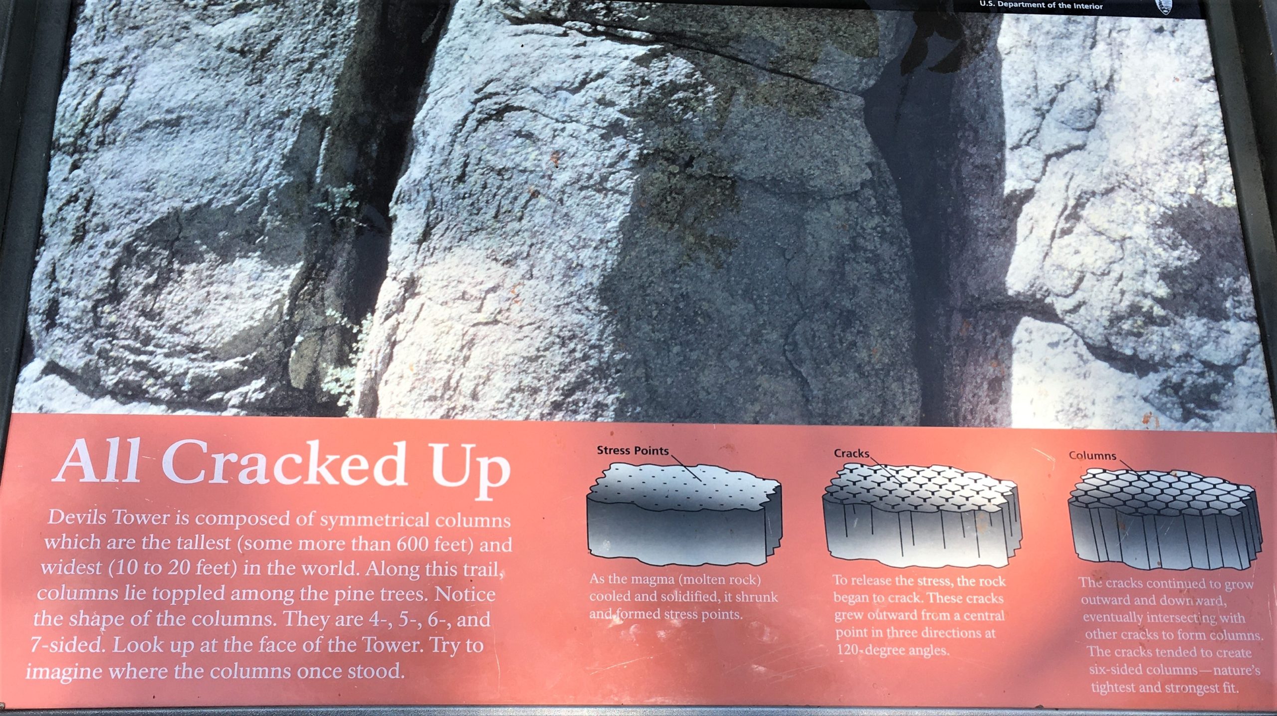
Look how the rock curves to the left here!
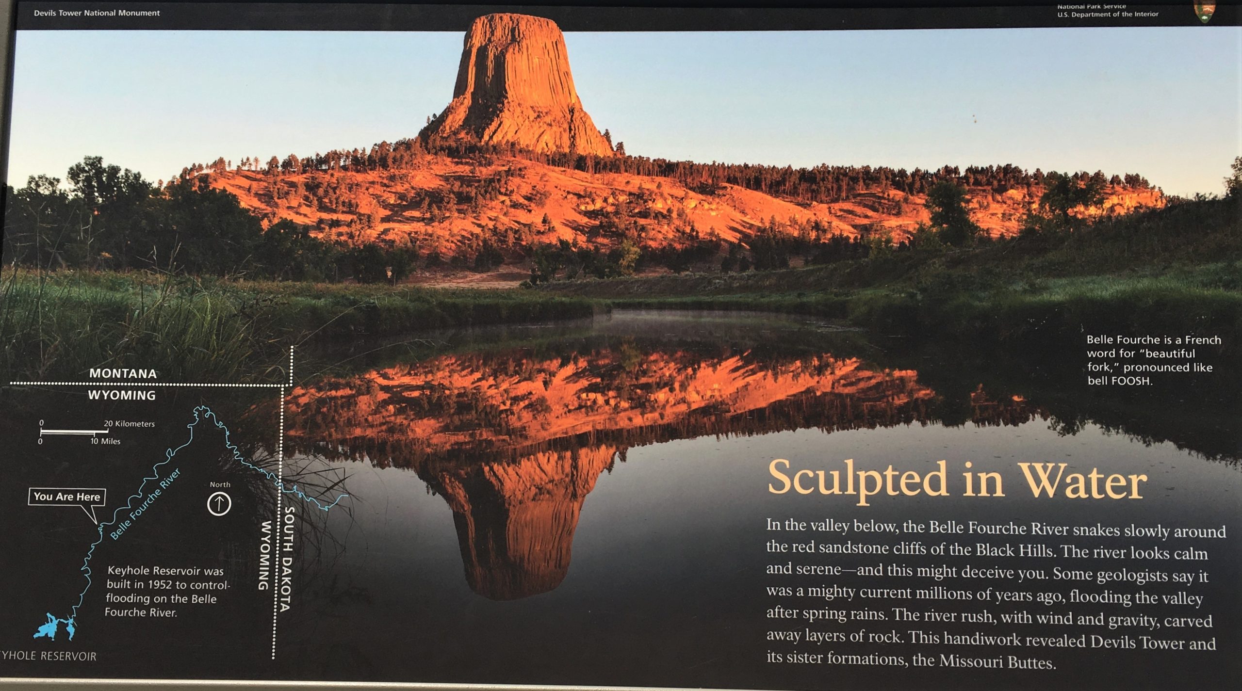
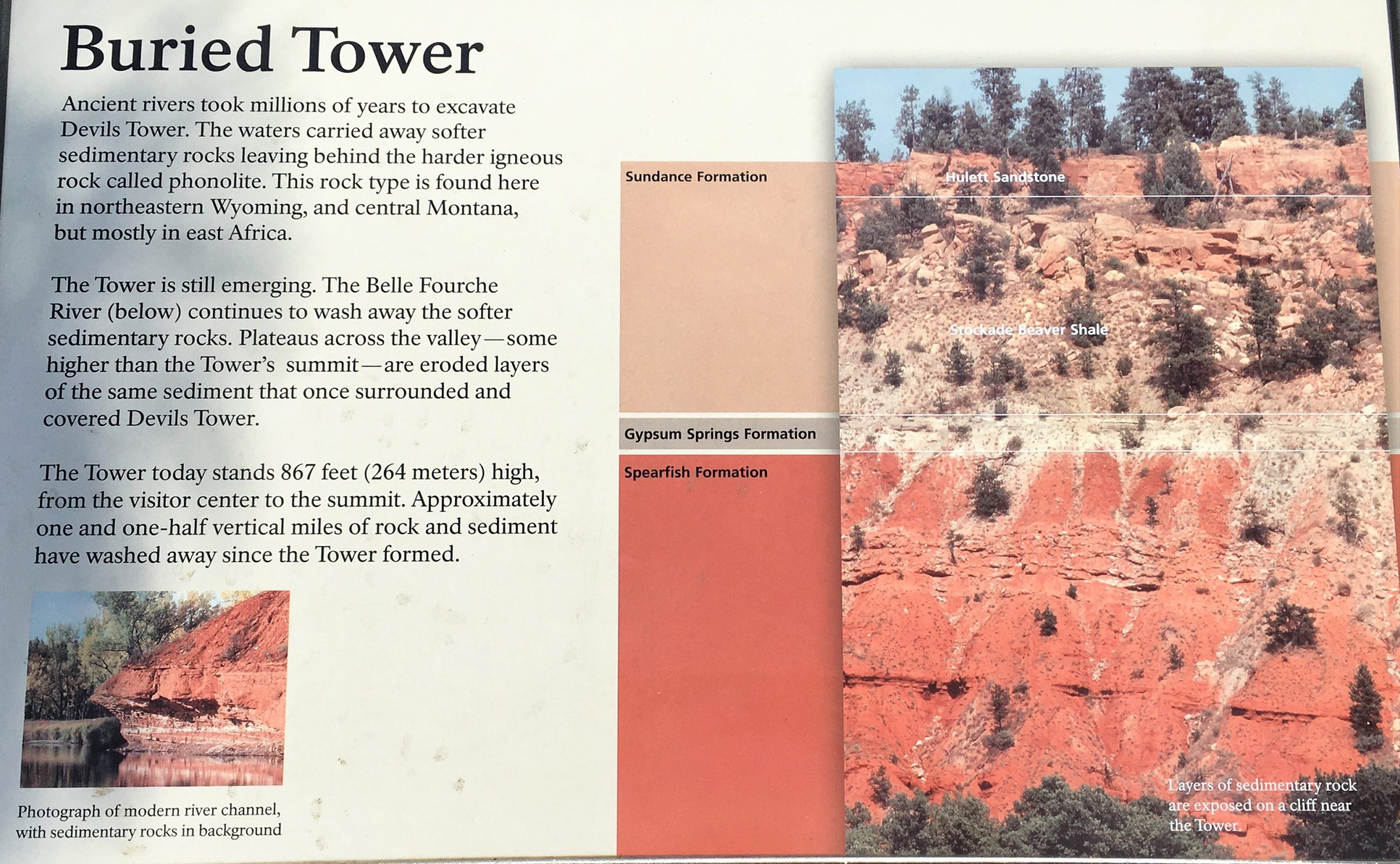
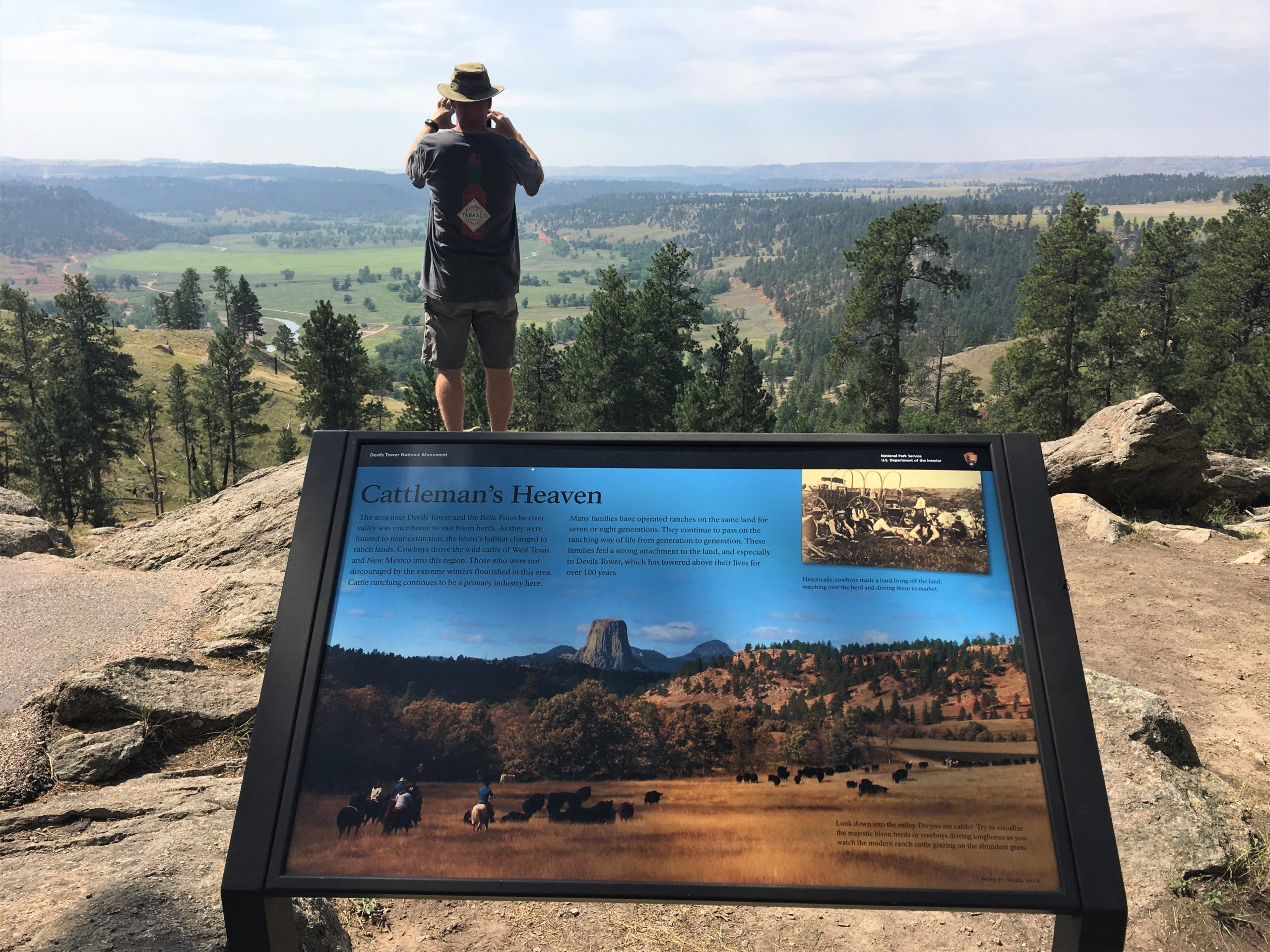
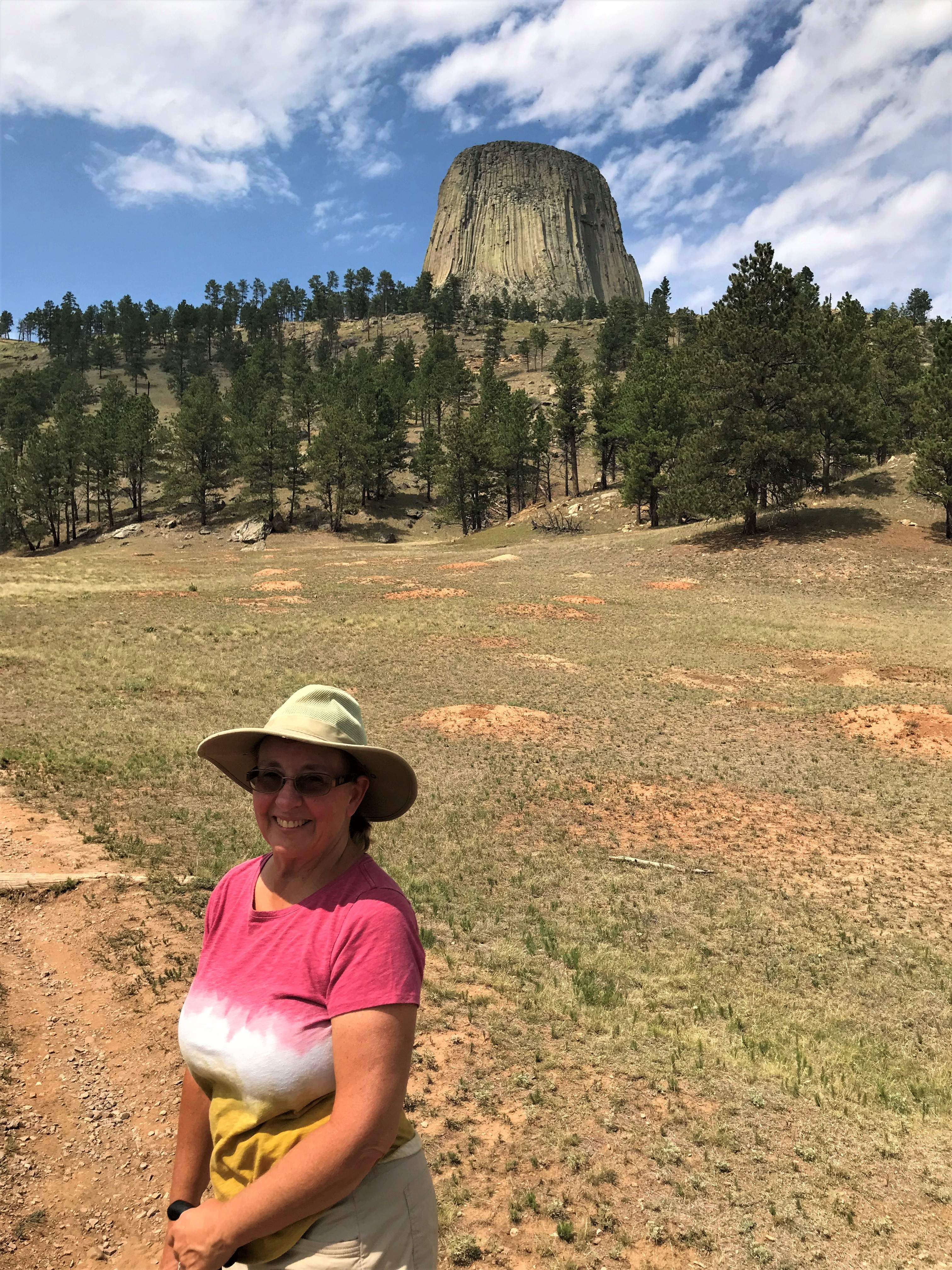
I think part of the reason this mountain is so impressive is because it just sits out in the middle of nowhere and towers 867-feet from the base to the top of the tower, and 1,267-feet above the Belle Fourche River that circles around it. 867’ doesn’t sound like much when you say it out loud, but when you see the little ‘ant people’ trying to scale it, it puts it in perspective. And one more thing – the Washington Monument is 555’.

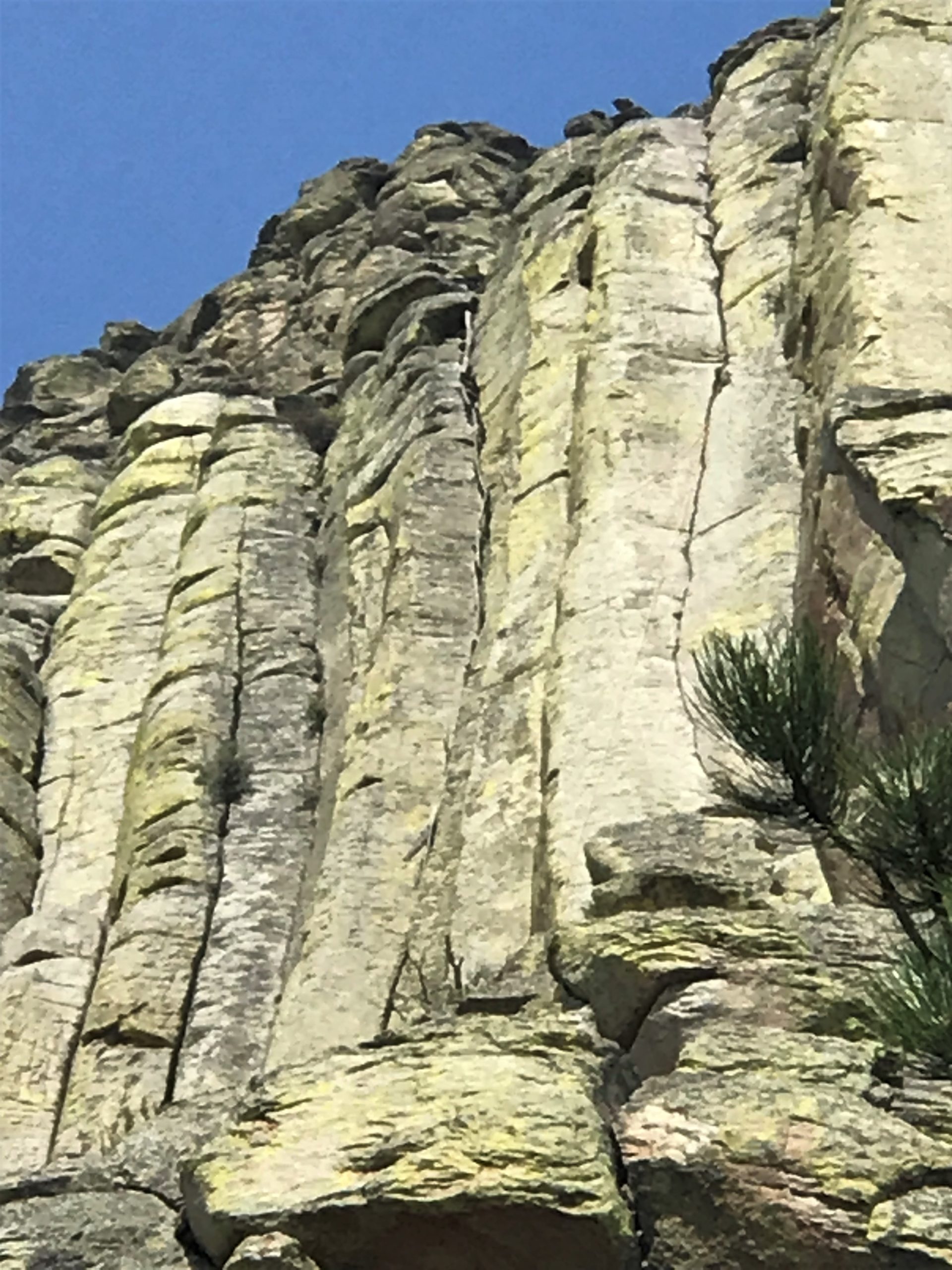
Yes. You read right. People climb this thing. All the time. Close to 5,000 of them annually.
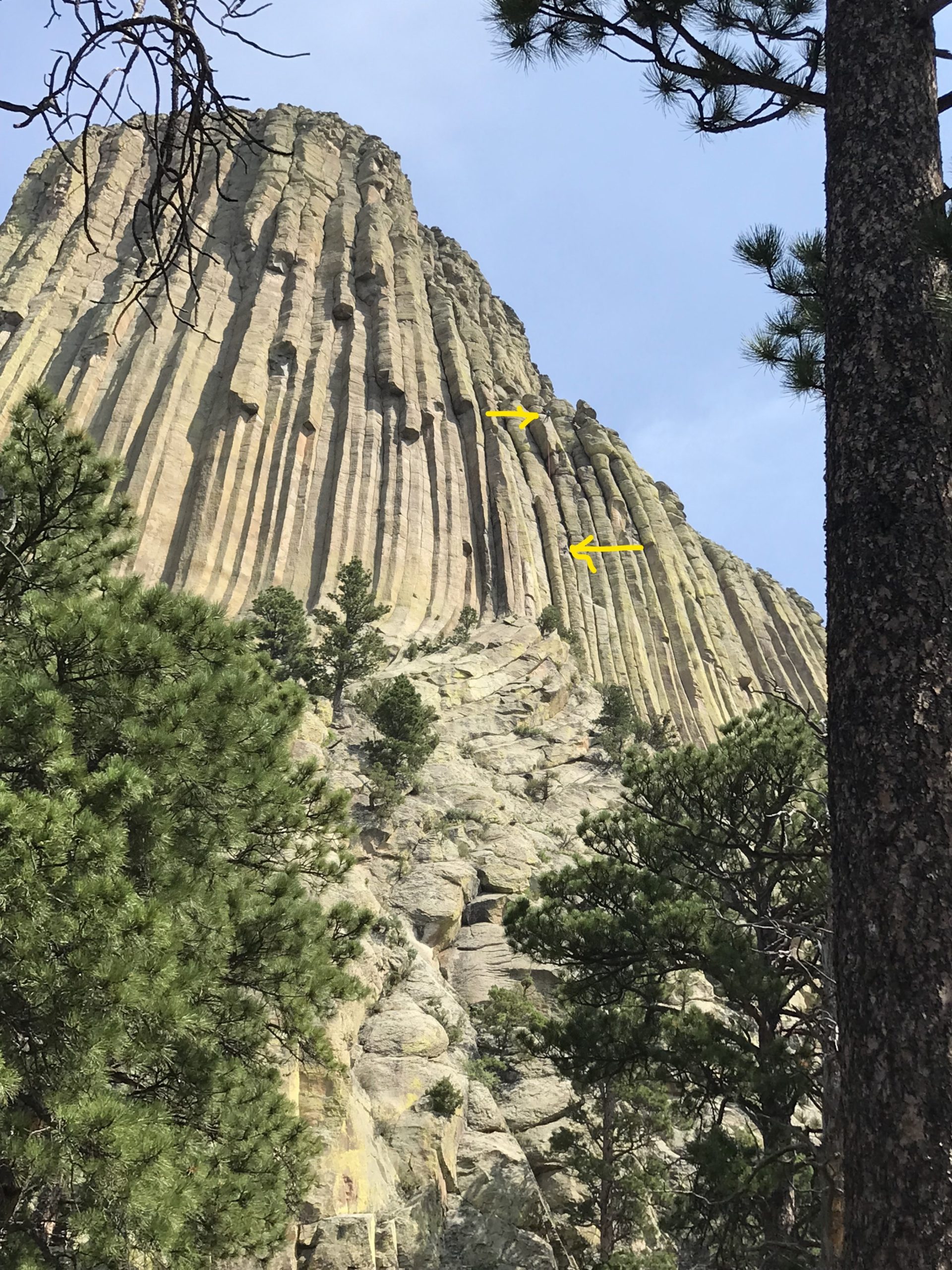
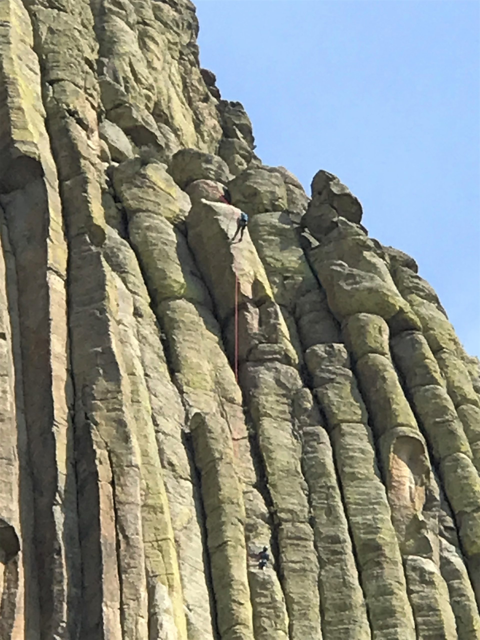
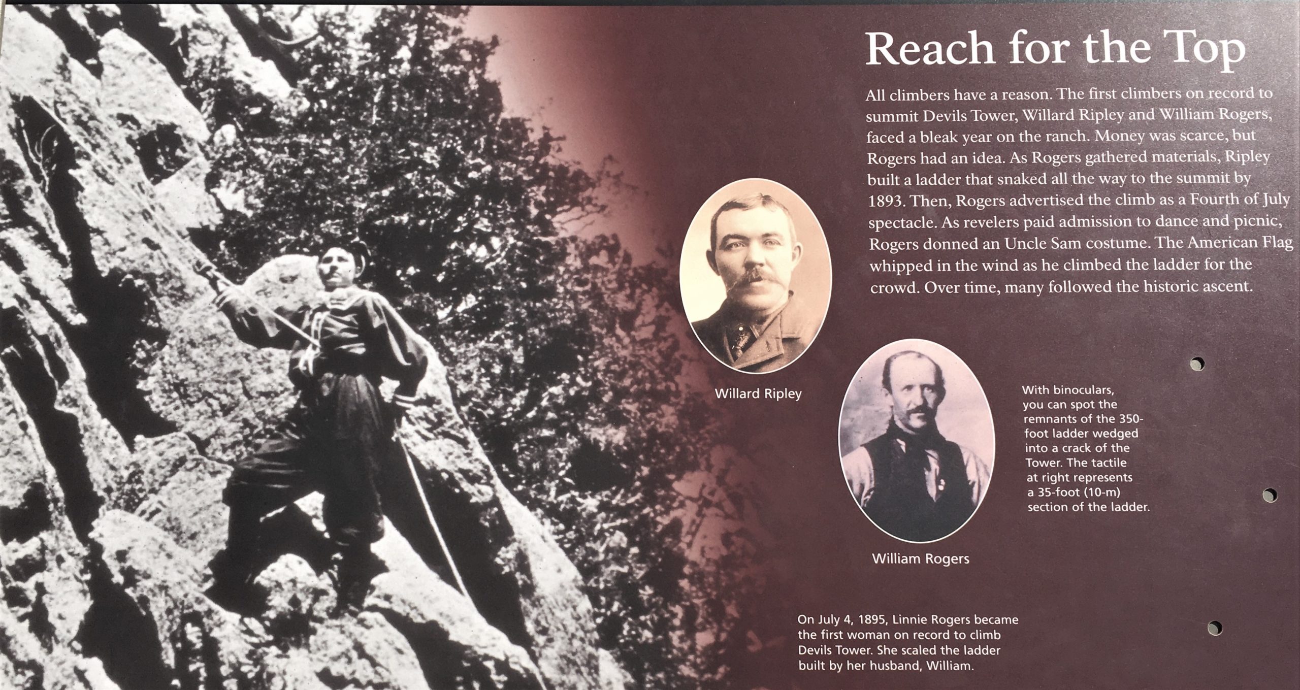
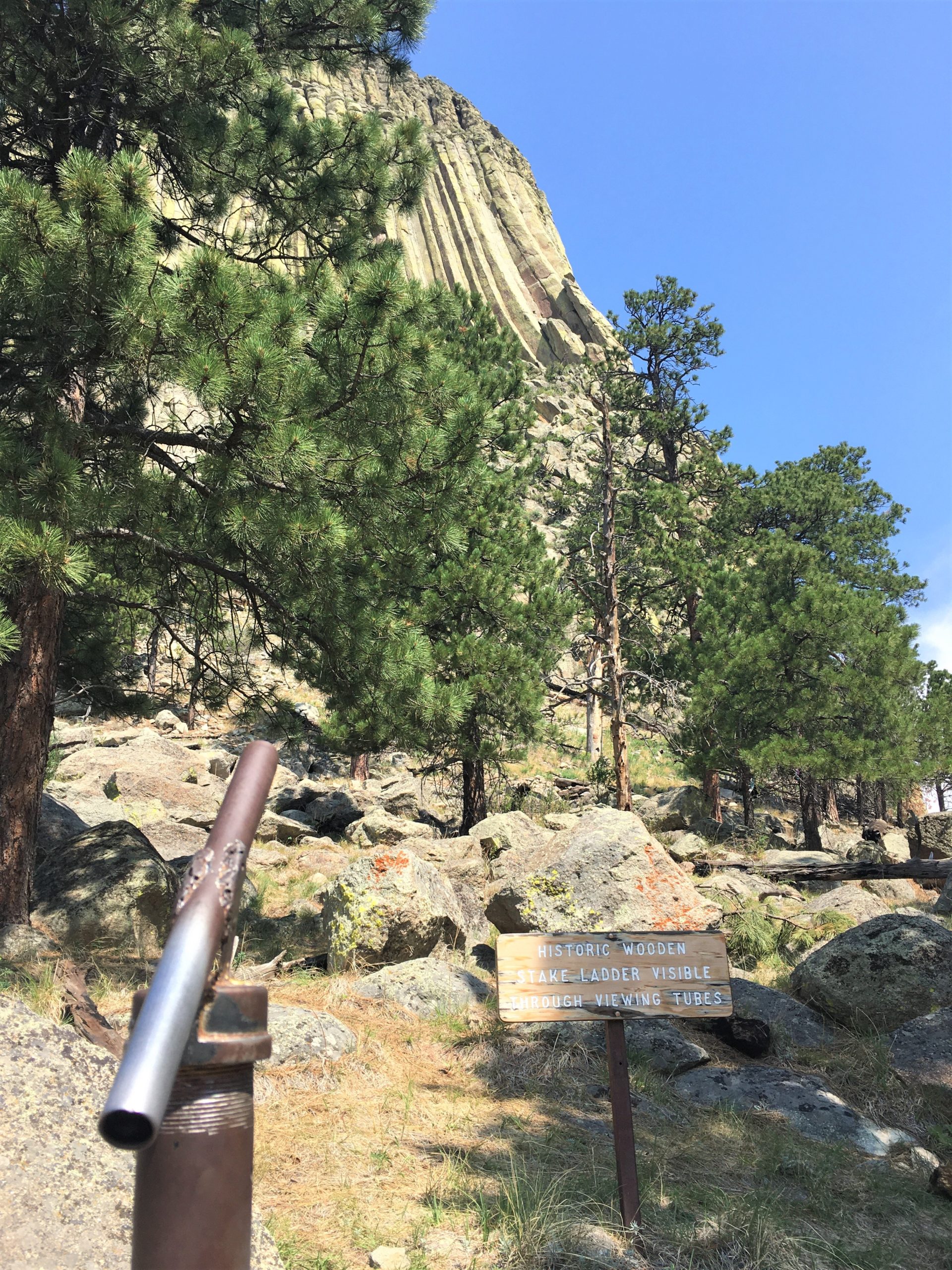
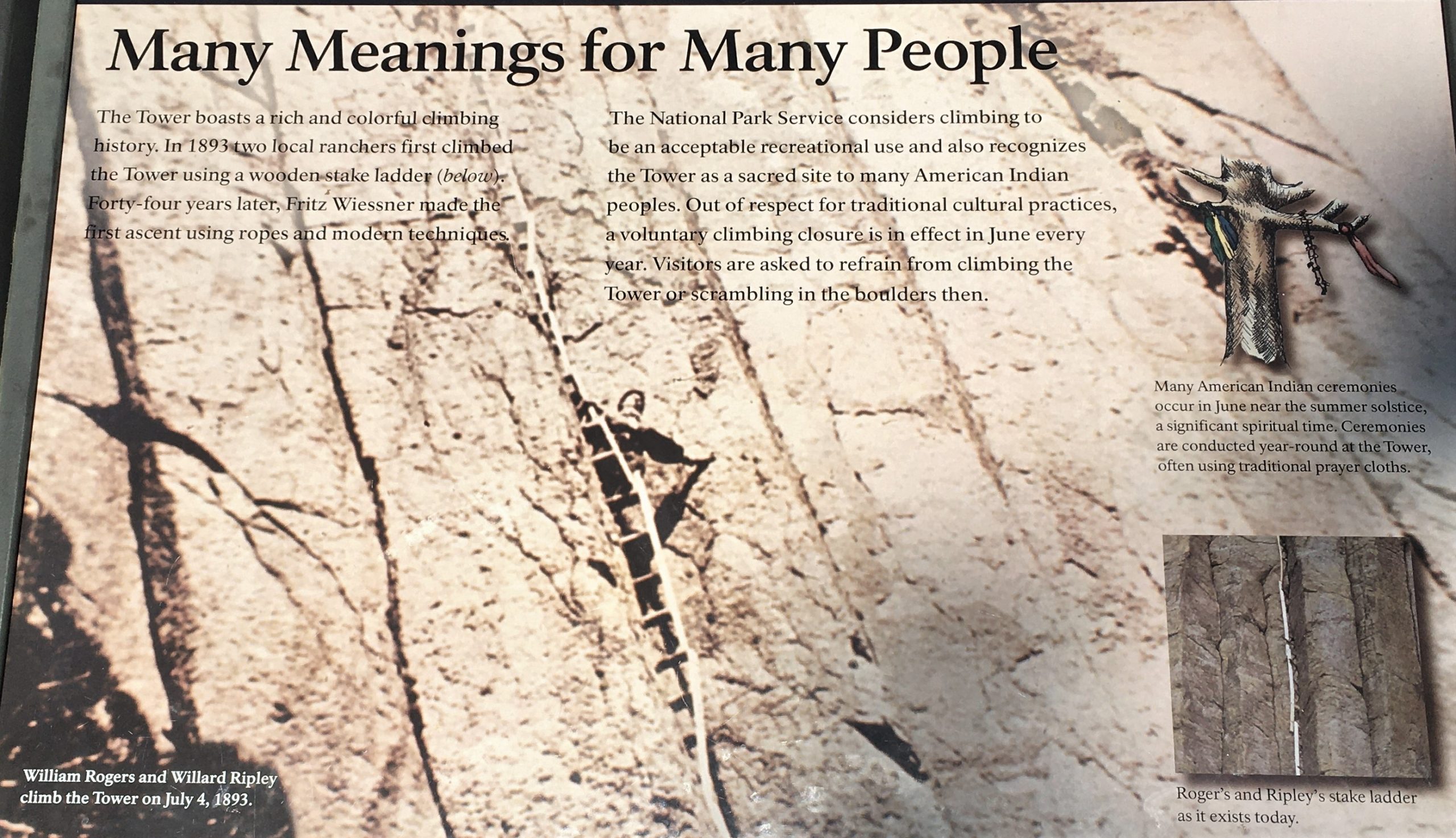
The first recorded climb of Devils Tower occurred over ten years before its establishment as a national monument. Willard Ripley and William Rogers were two ranchers living near the Tower in the 1890s. Working together, the two managed to construct a simple stake ladder which they used to climb to the Tower’s summit. ~ nps.gov
The NPS doesn’t say here, but we heard or read somewhere that it was because they weren’t making enough money ranching, so they came up with this idea – – and it worked!
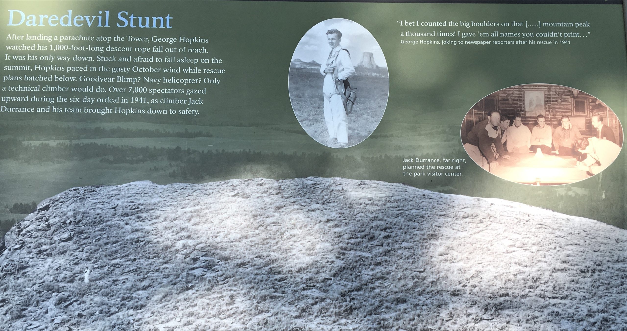
Personally, we think they’re the real daredevils. They didn’t have the modern equipment people do today. Can you imagine building a ladder to reach the top? Out of wood? And then climbing it? No way, Hosea!!

Unimaginable!
Fortunately for me (because of the crowds), it seems not so many walk all the way around the 1.3 mile trail. Most walk halfway then turn around. We liked that!
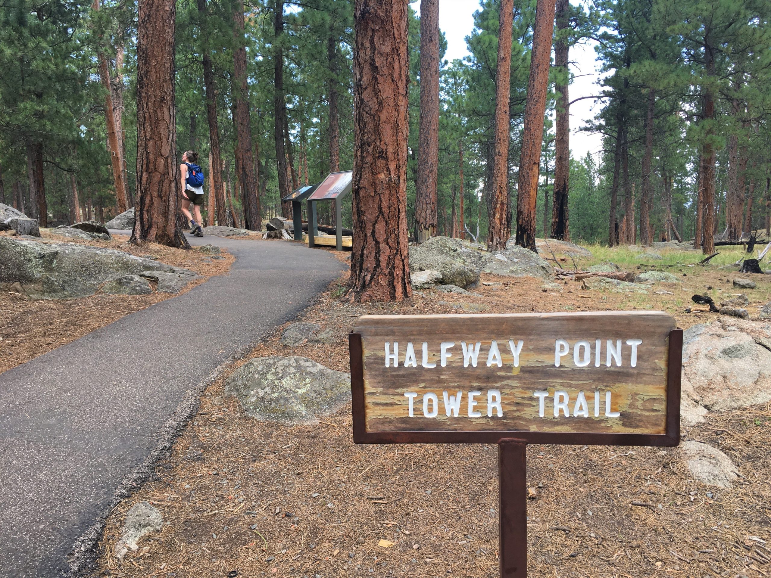
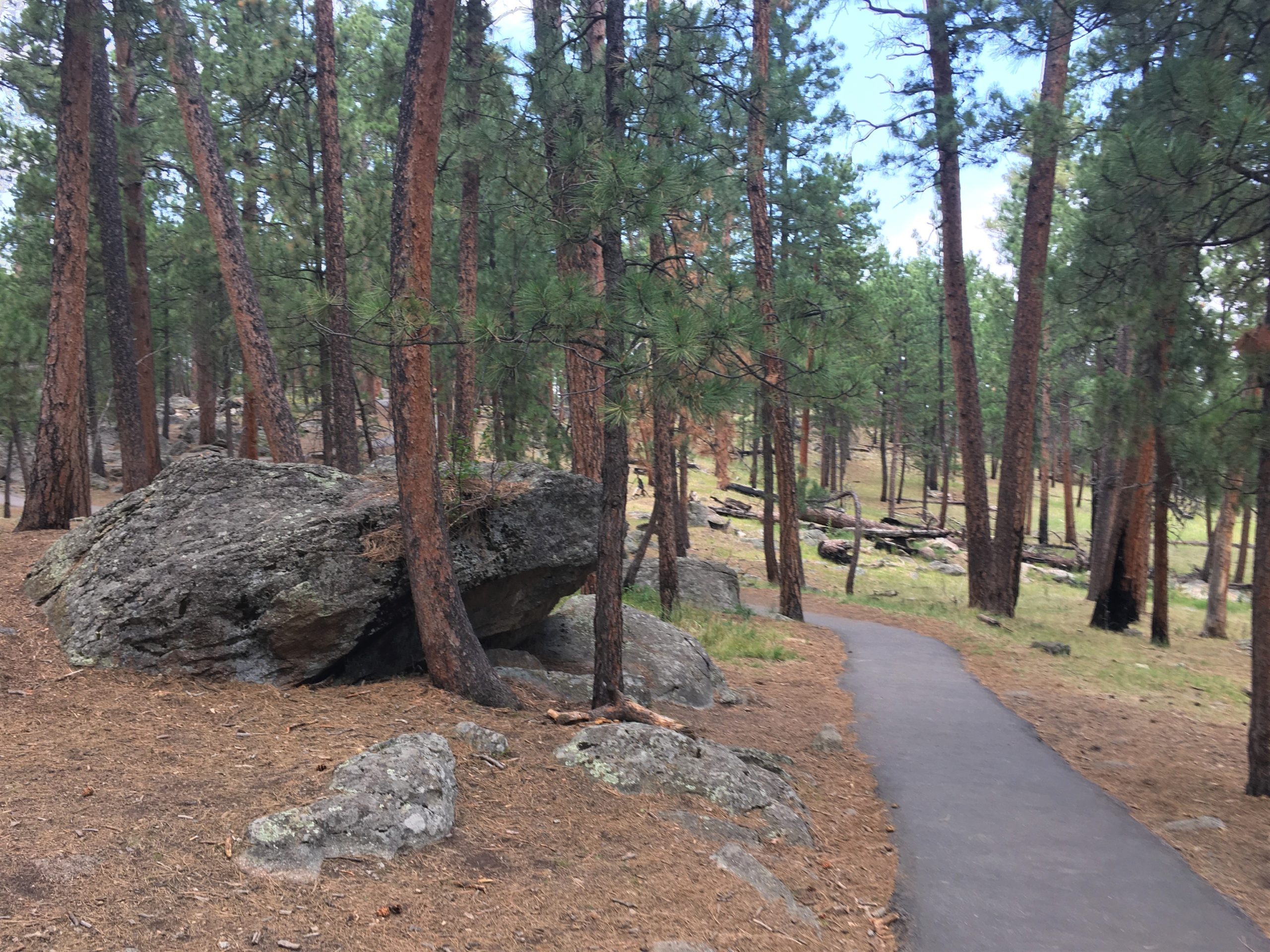
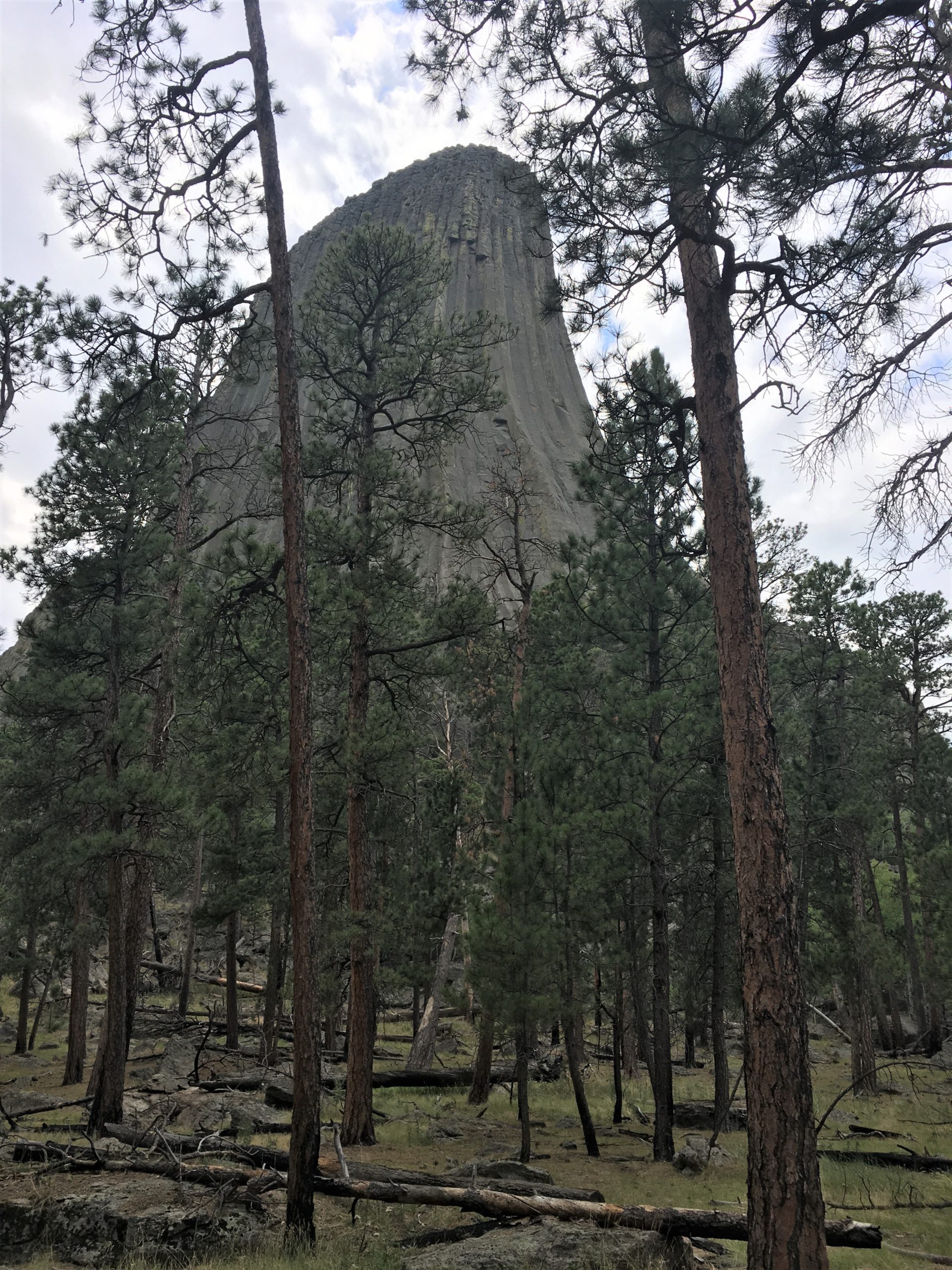
We said we’d entered the “Dark Side”. : )
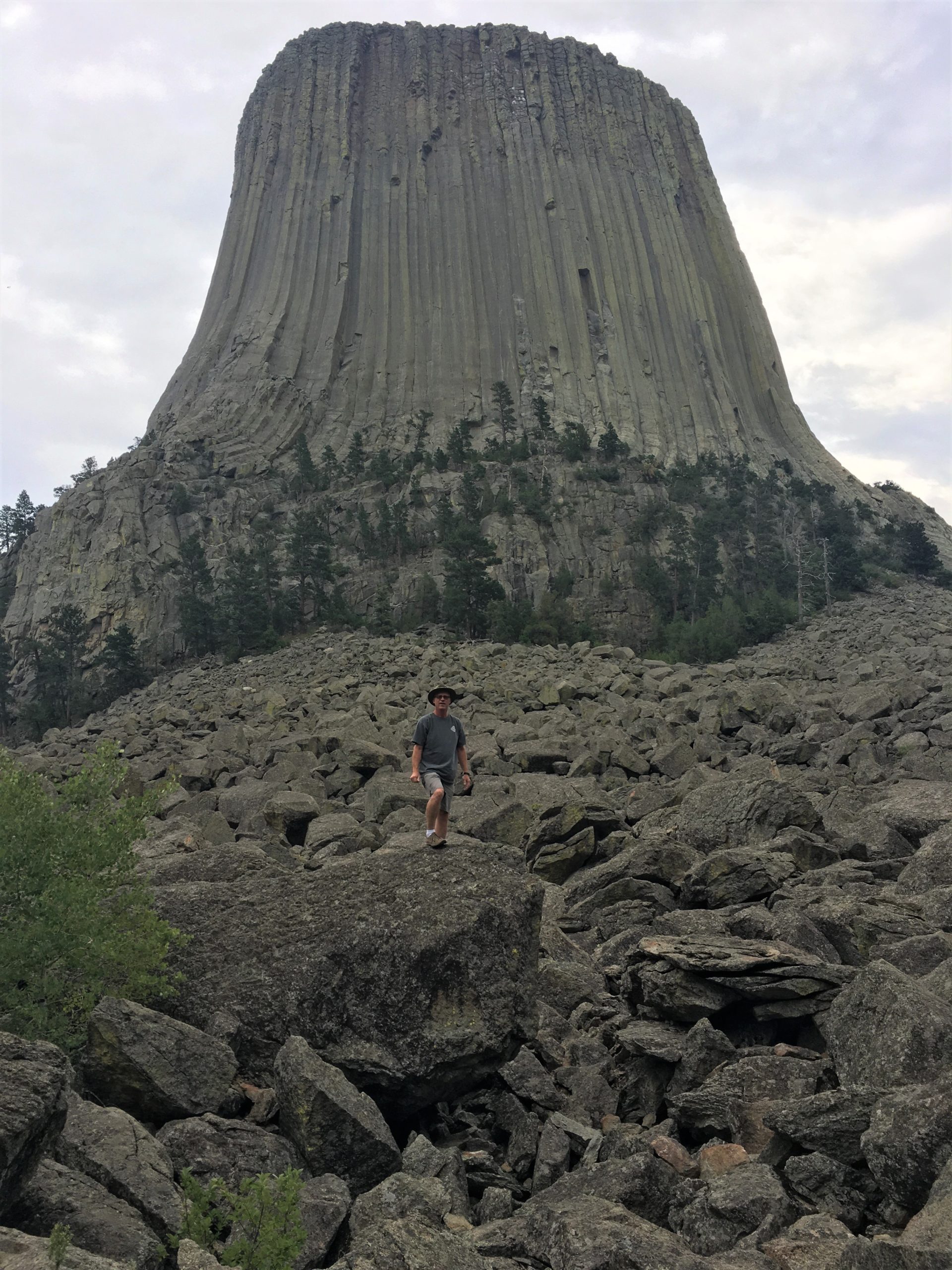
Lunch was in the Jeep.
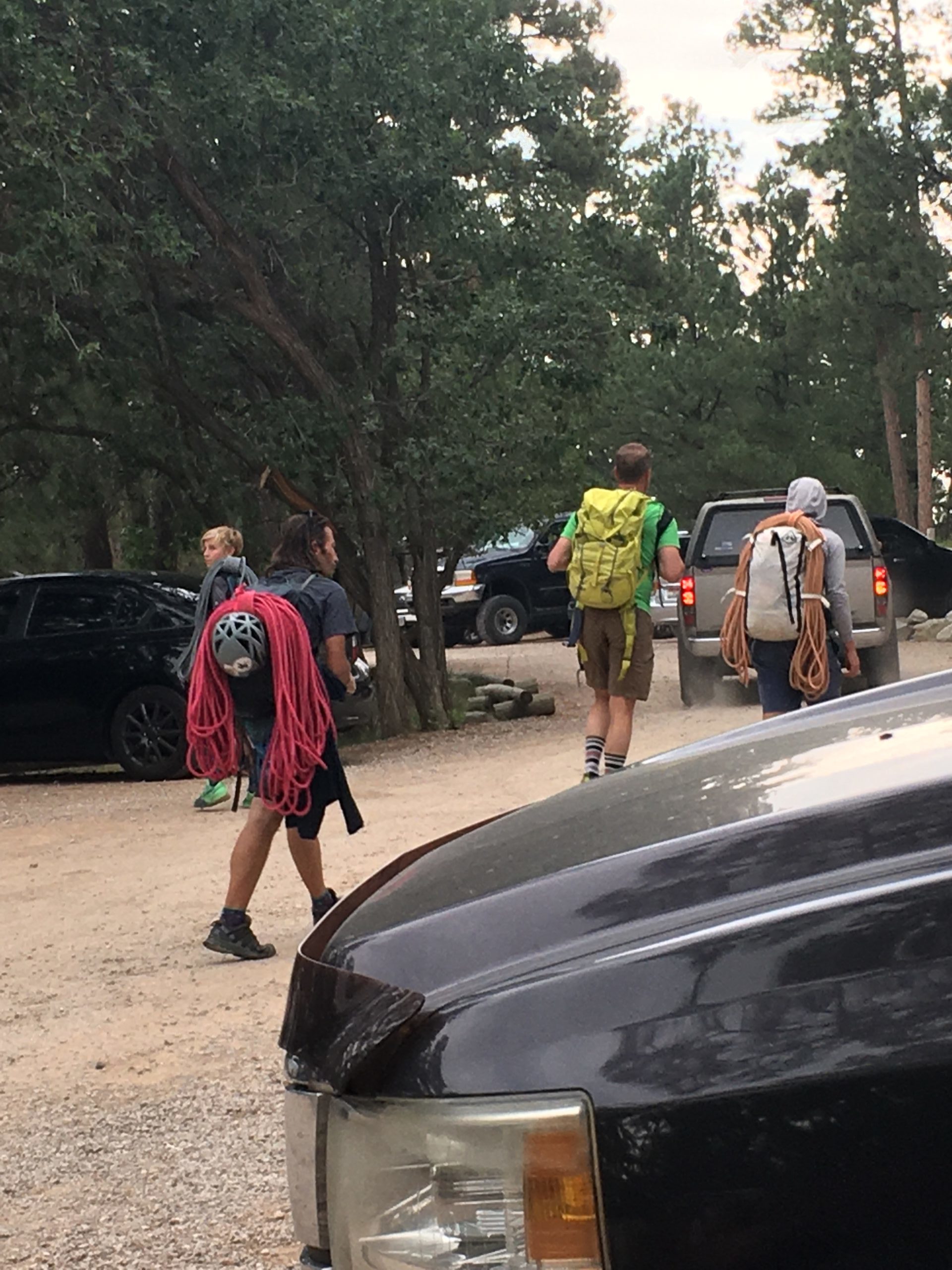
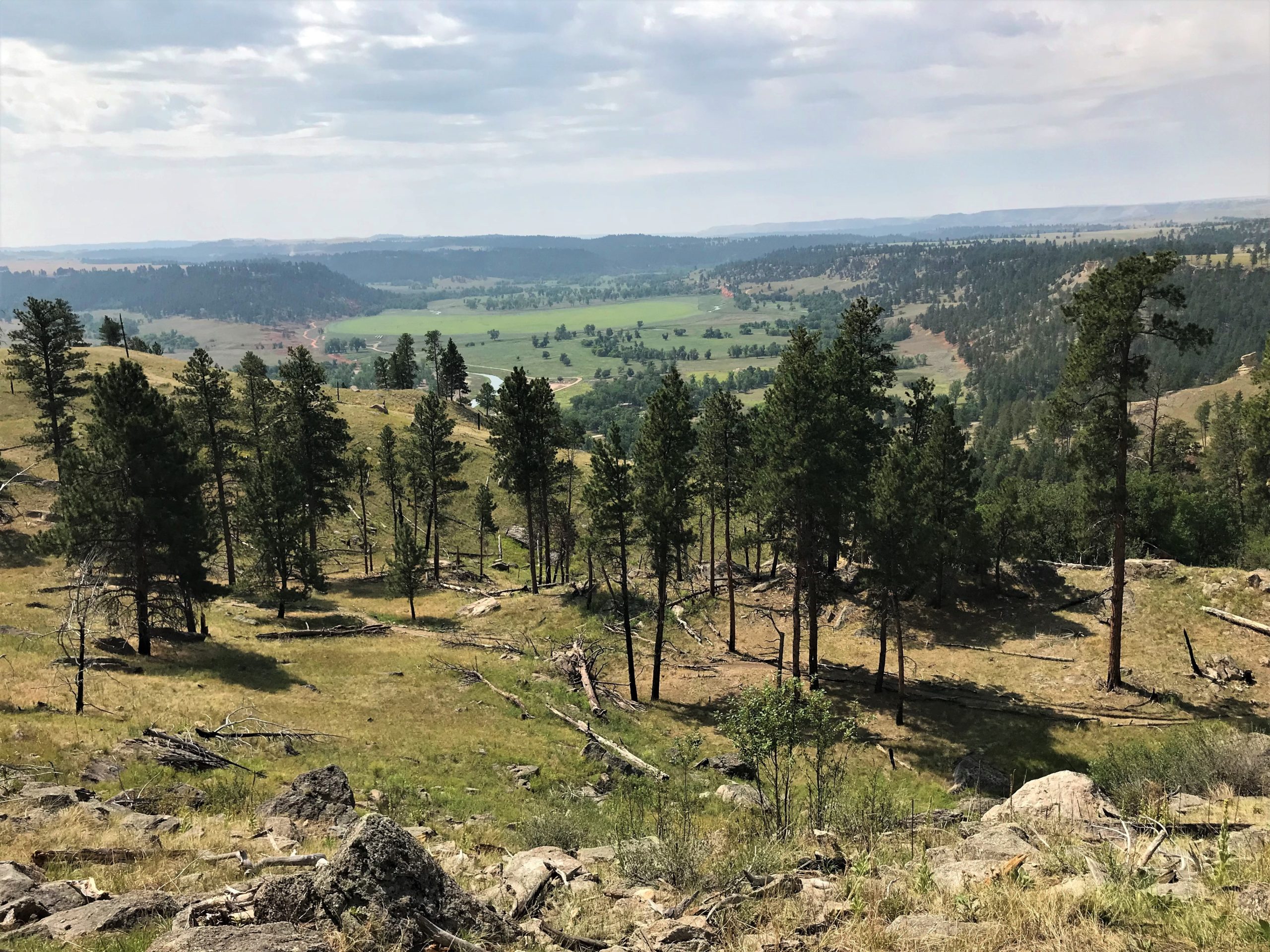
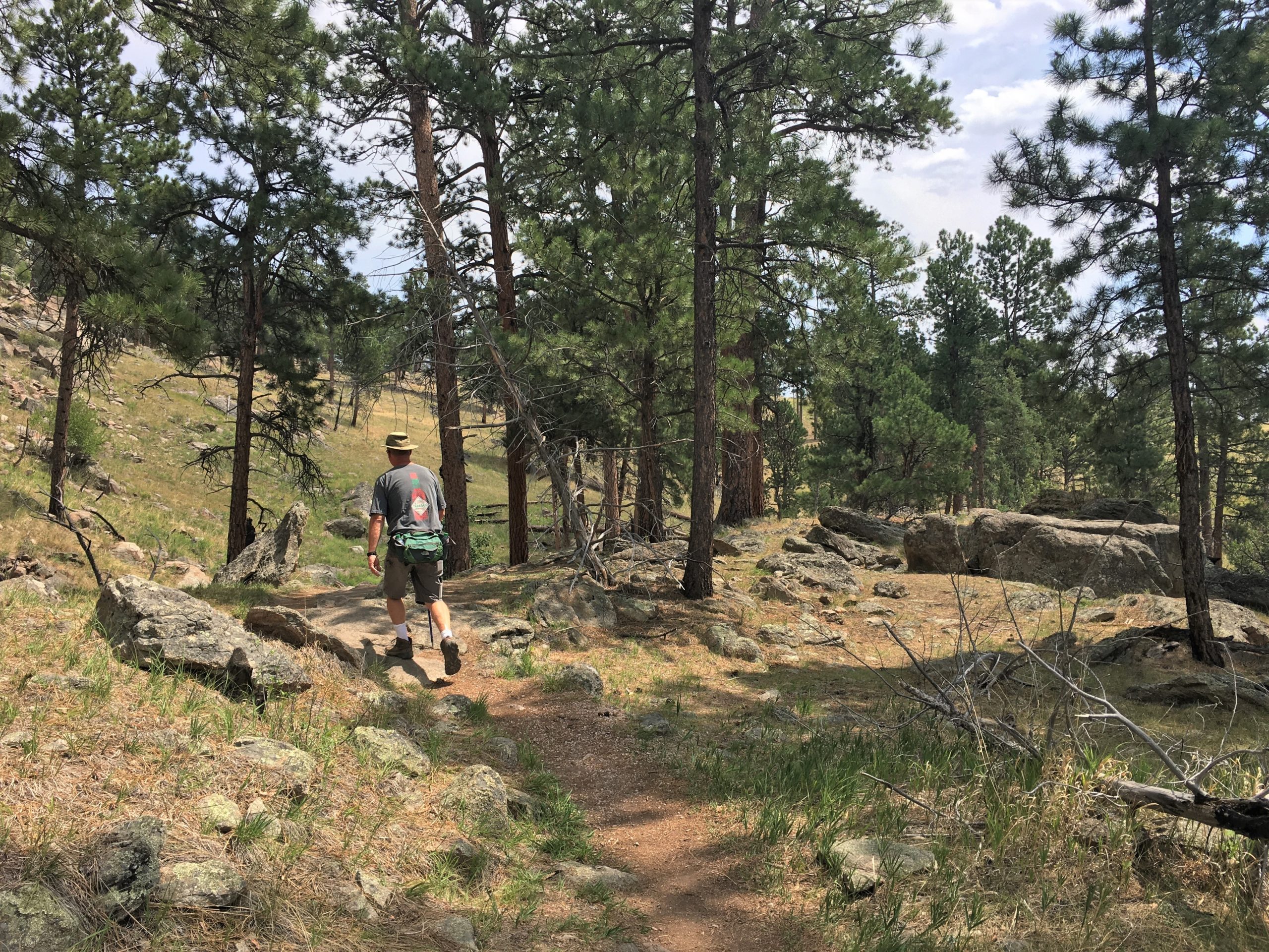
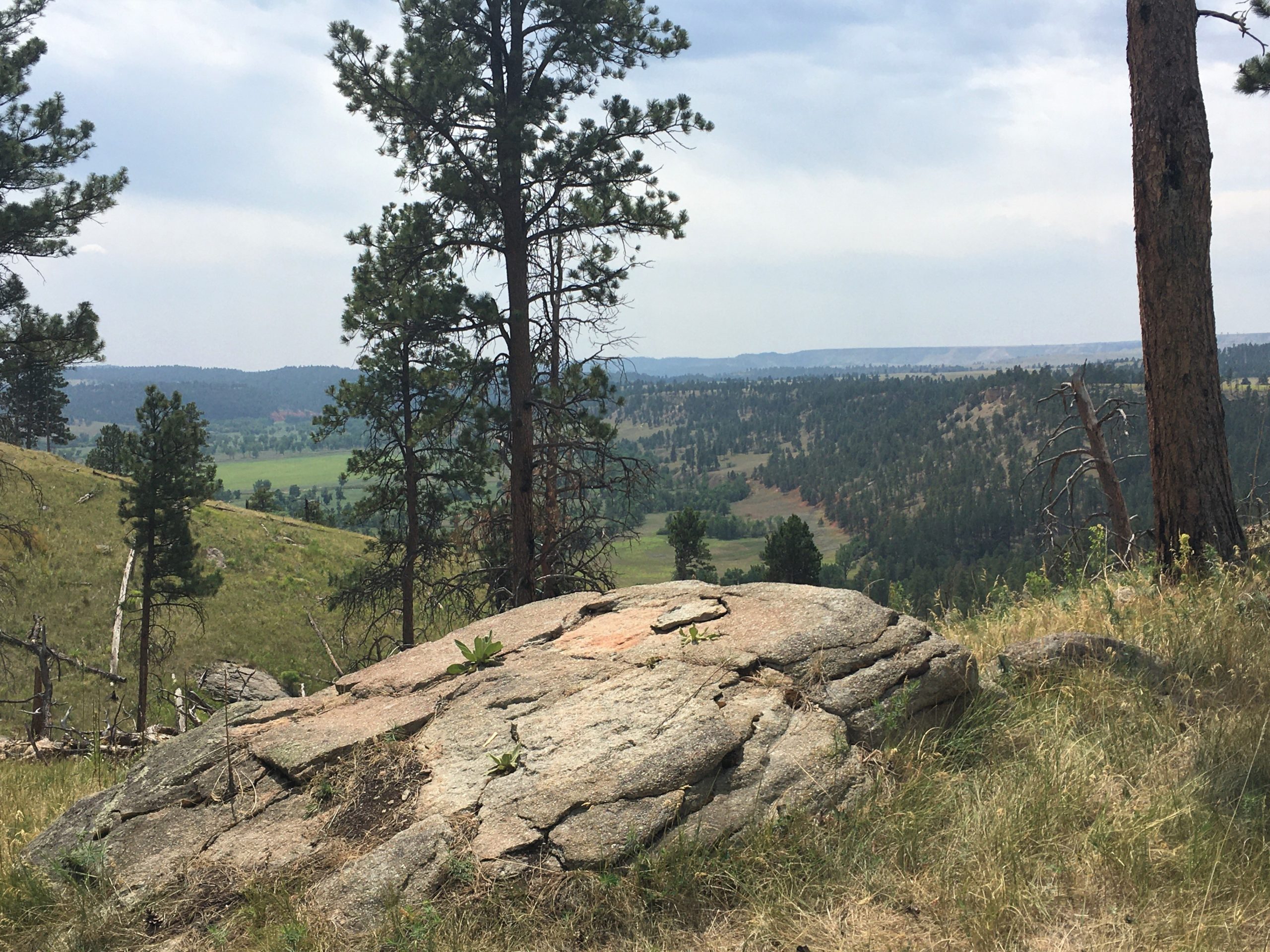
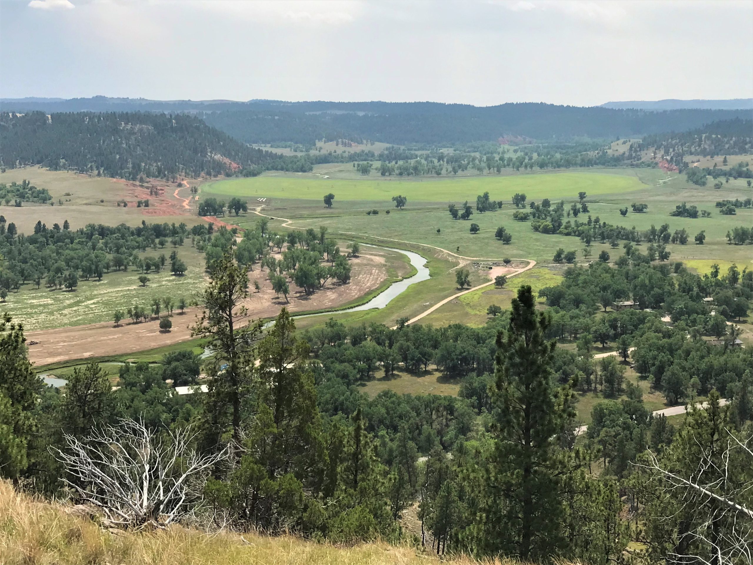
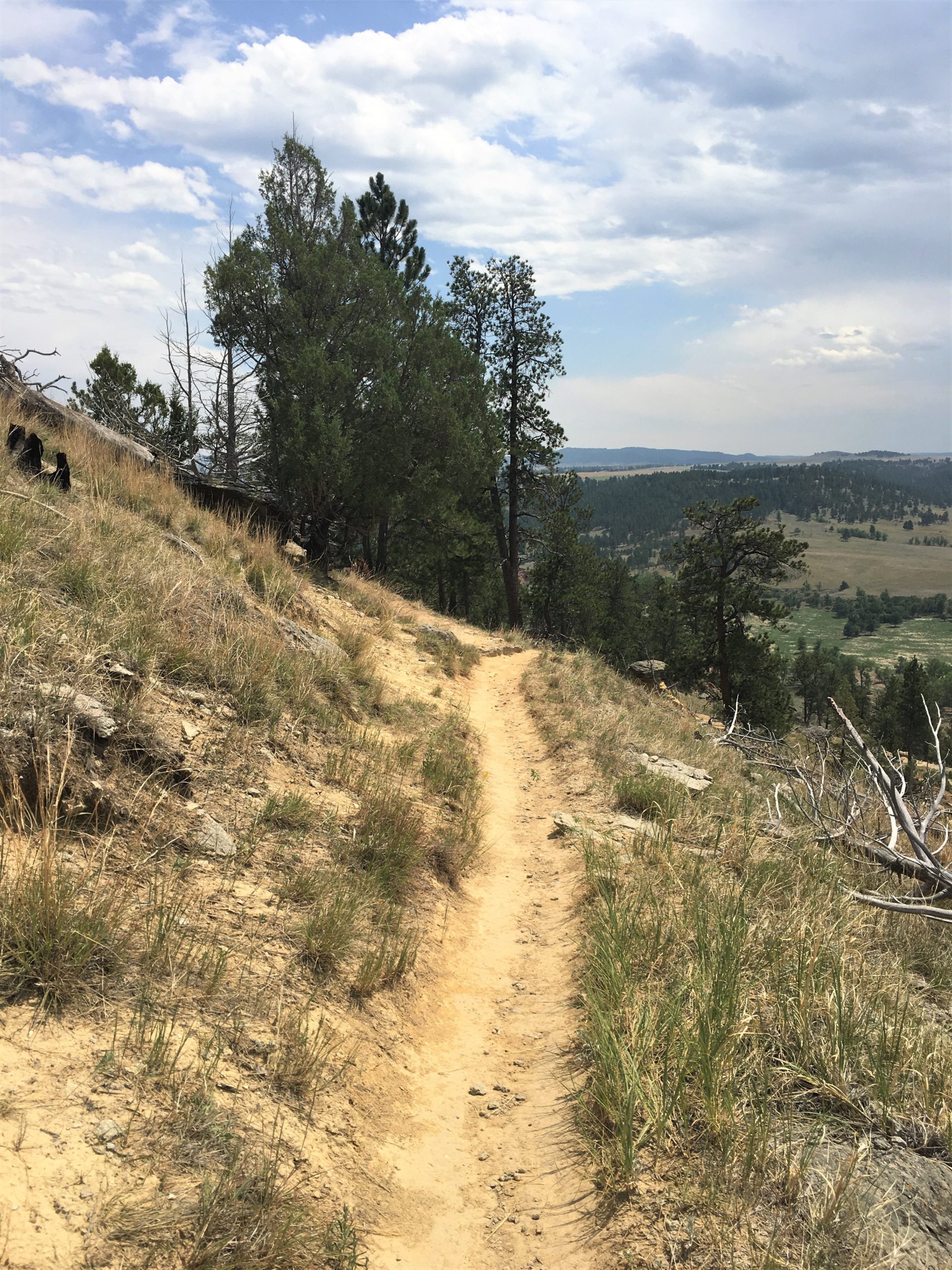
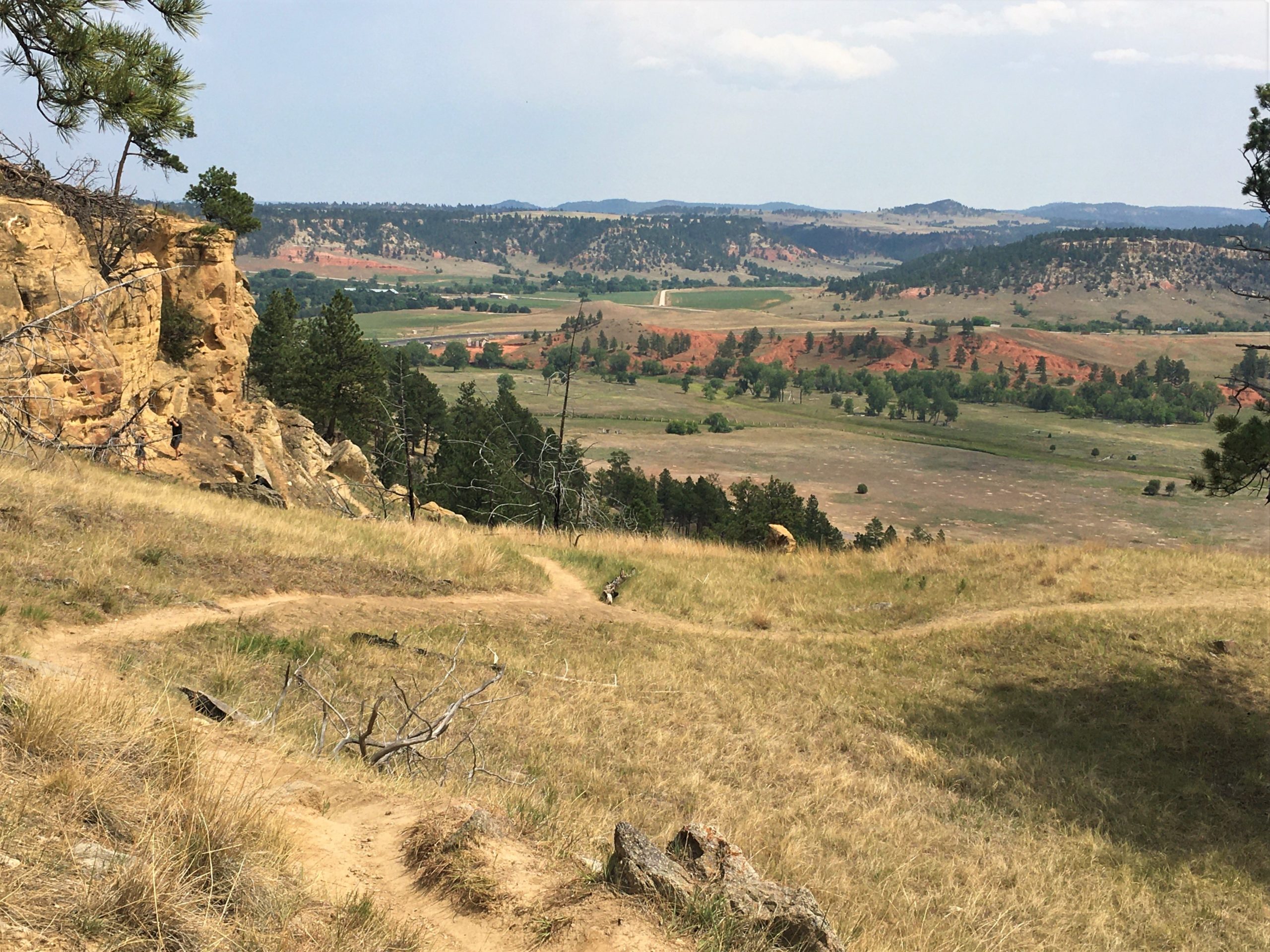
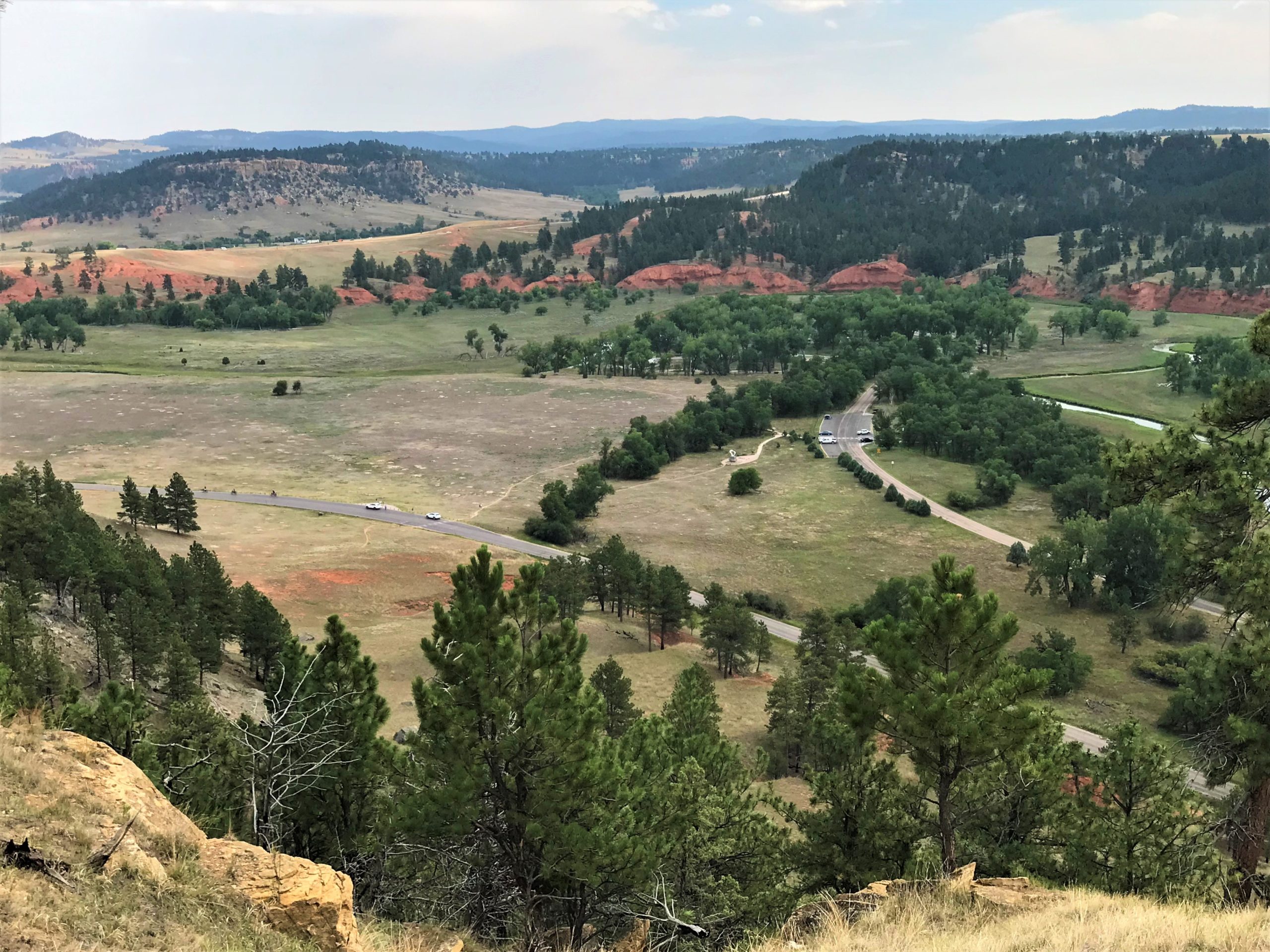
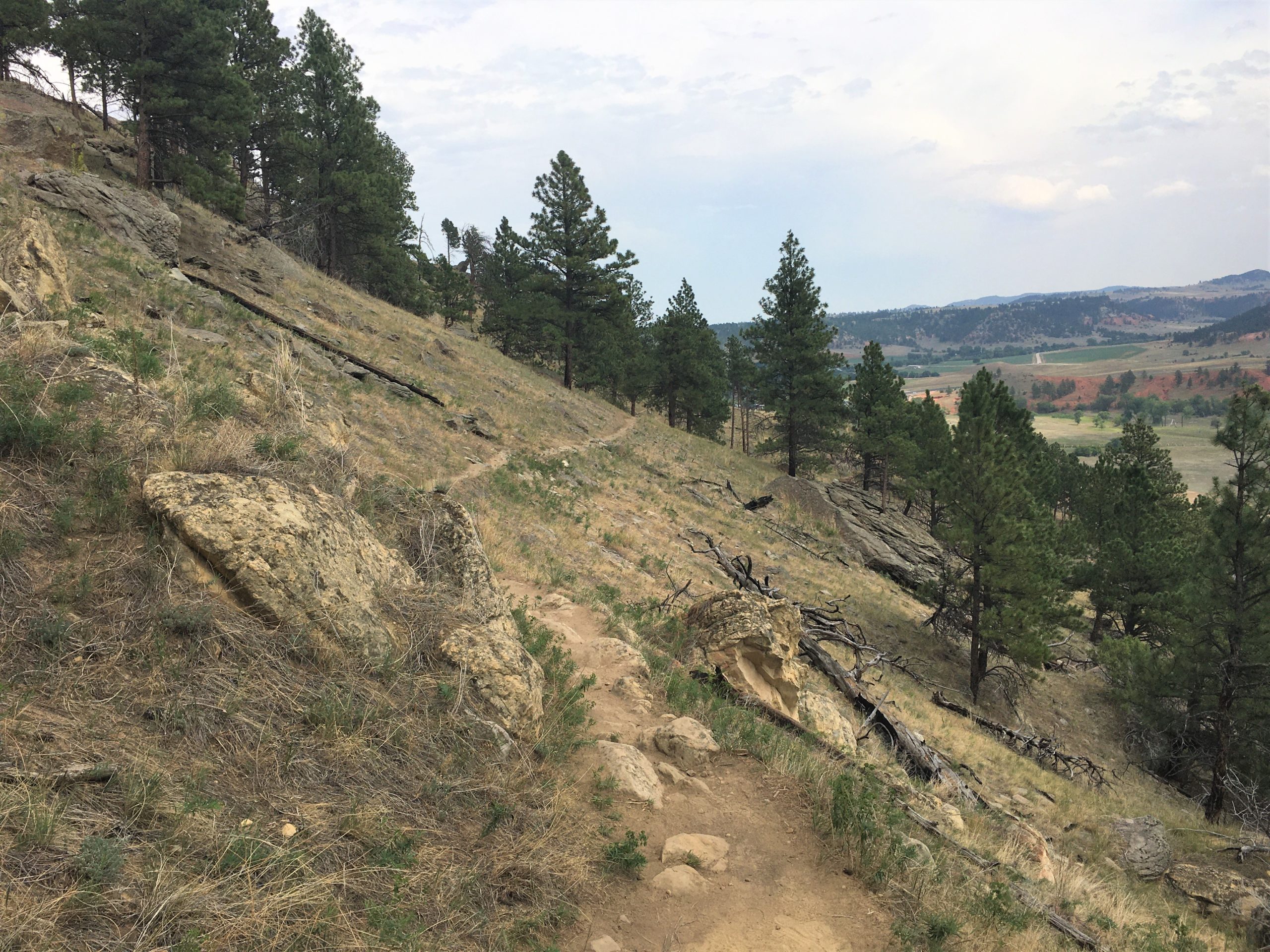
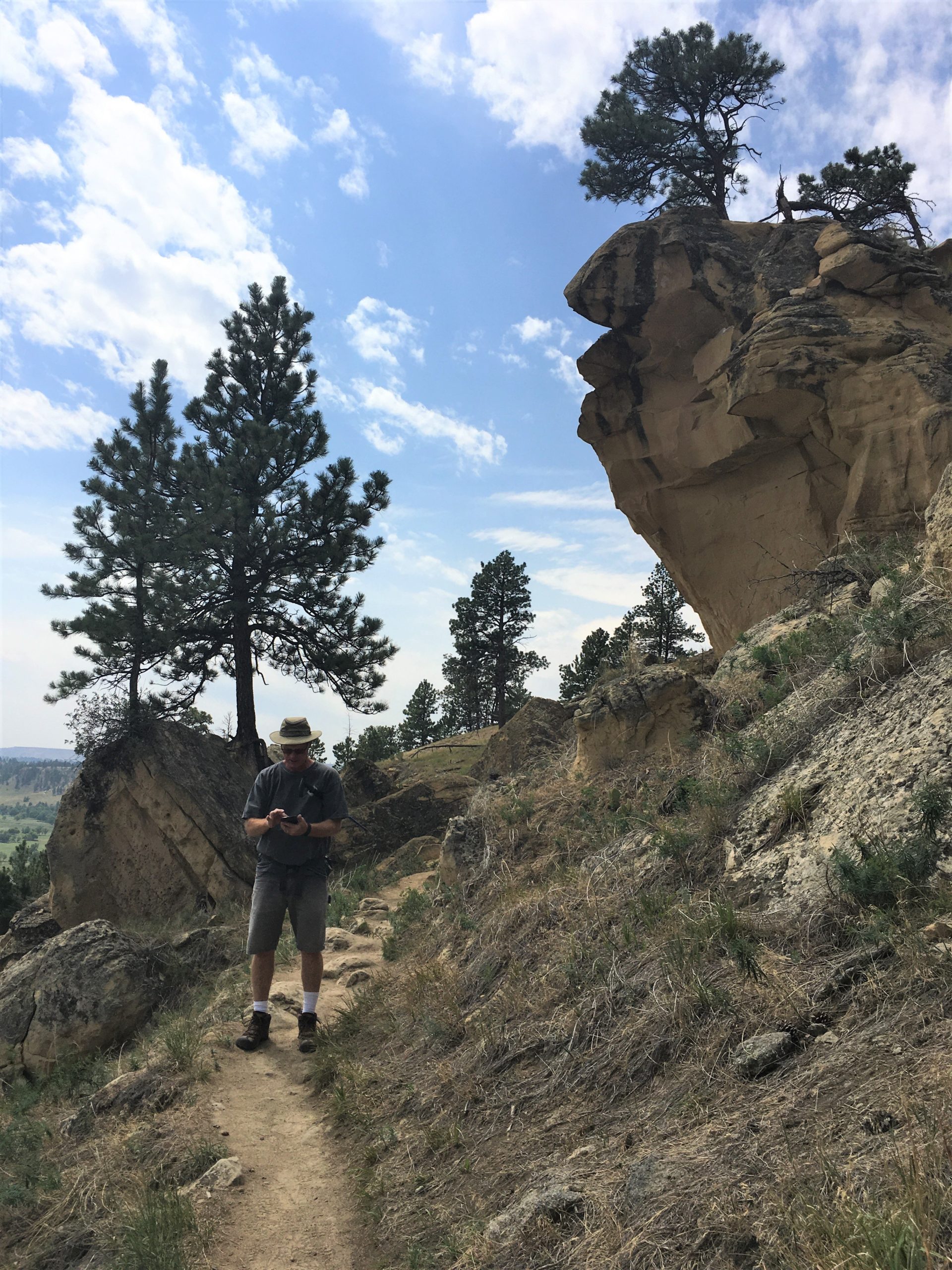
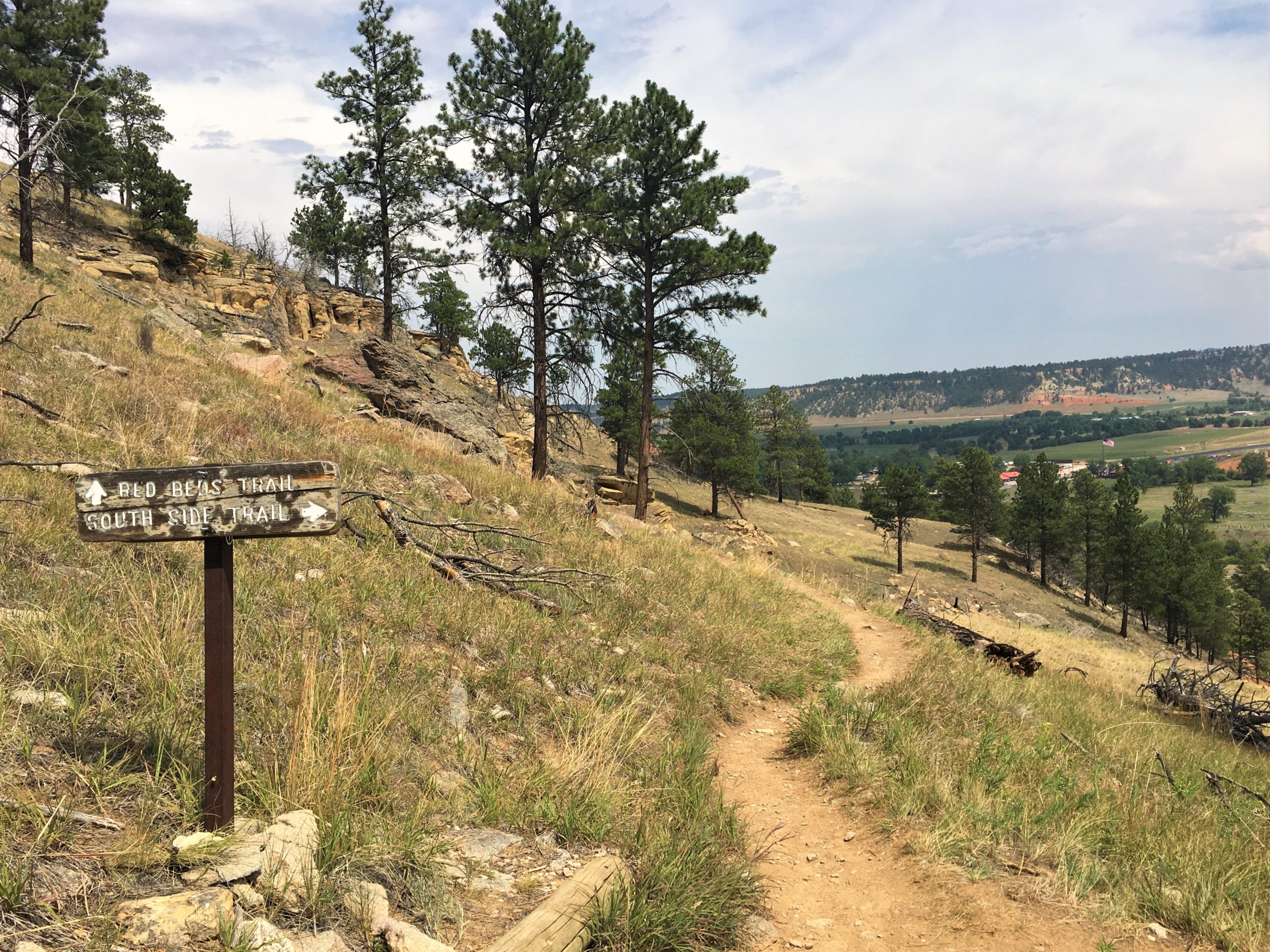
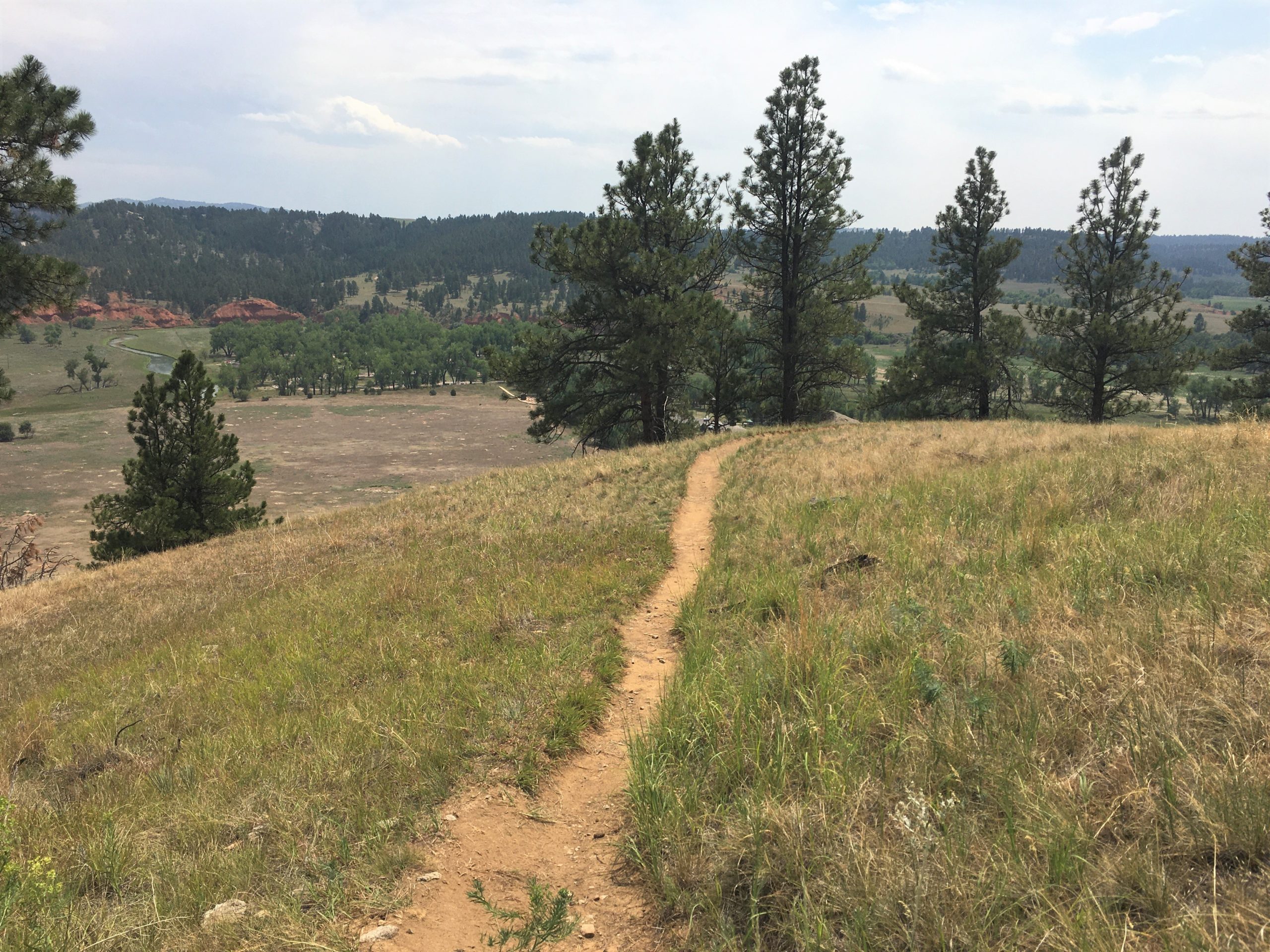
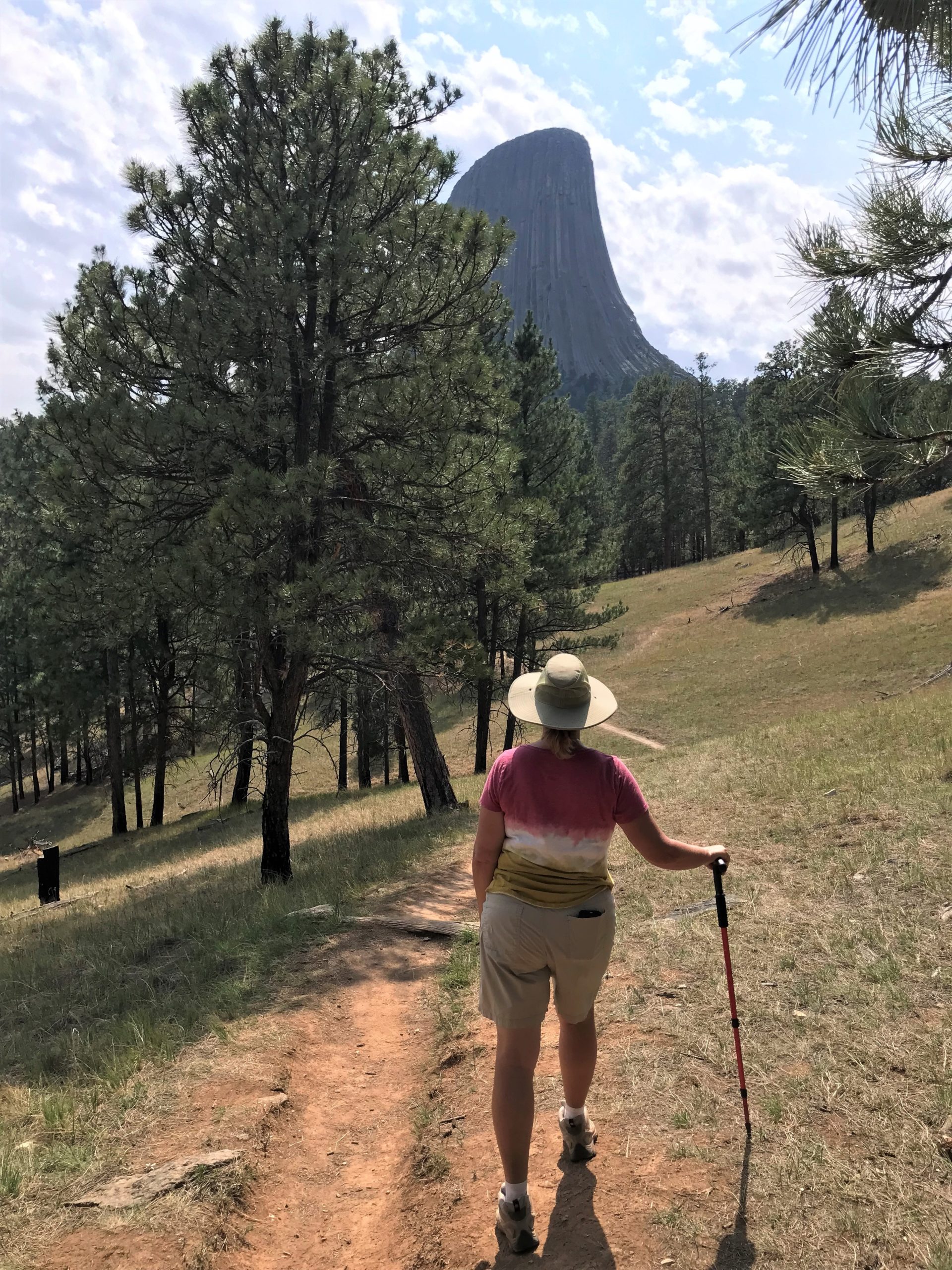
Then it was off to do a much longer, more strenuous hike. For that, we combined two – the Red Beds trail of three miles, and the South Side trail of .6 miles. Both of them are loops and offered stunning views!
The only problem we had was the high temperatures again this afternoon. There was heat from above, below and all around us. The blistering sun and the dry baked earth, absorbing the rays and firing them back up. And rather than much needed refreshment, the occasional breeze felt more like a warm blanket enveloping us. Add to that the fairly steep trail, and . . . well . . . it just about did me in by the end. But I did it! And I’d do it all over again!
As the name implies, the Red Beds trail took us through some red rock that reminded us of Sedona, Arizona; but we didn’t get to that part until after the South Side trail.
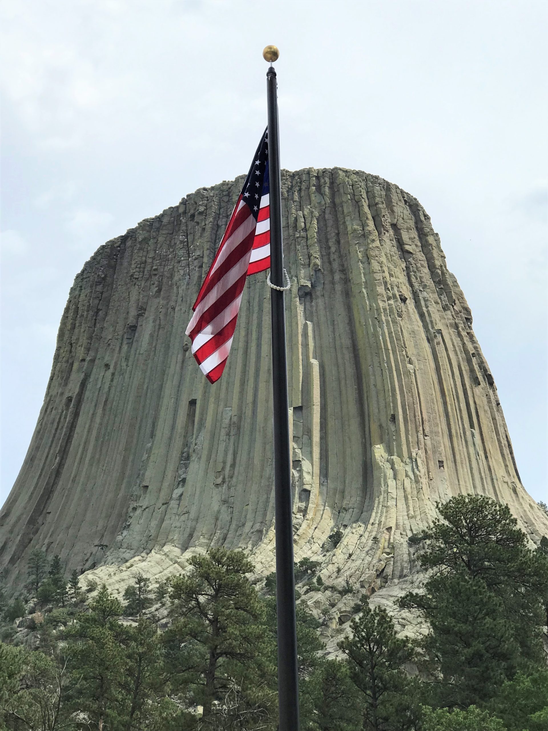
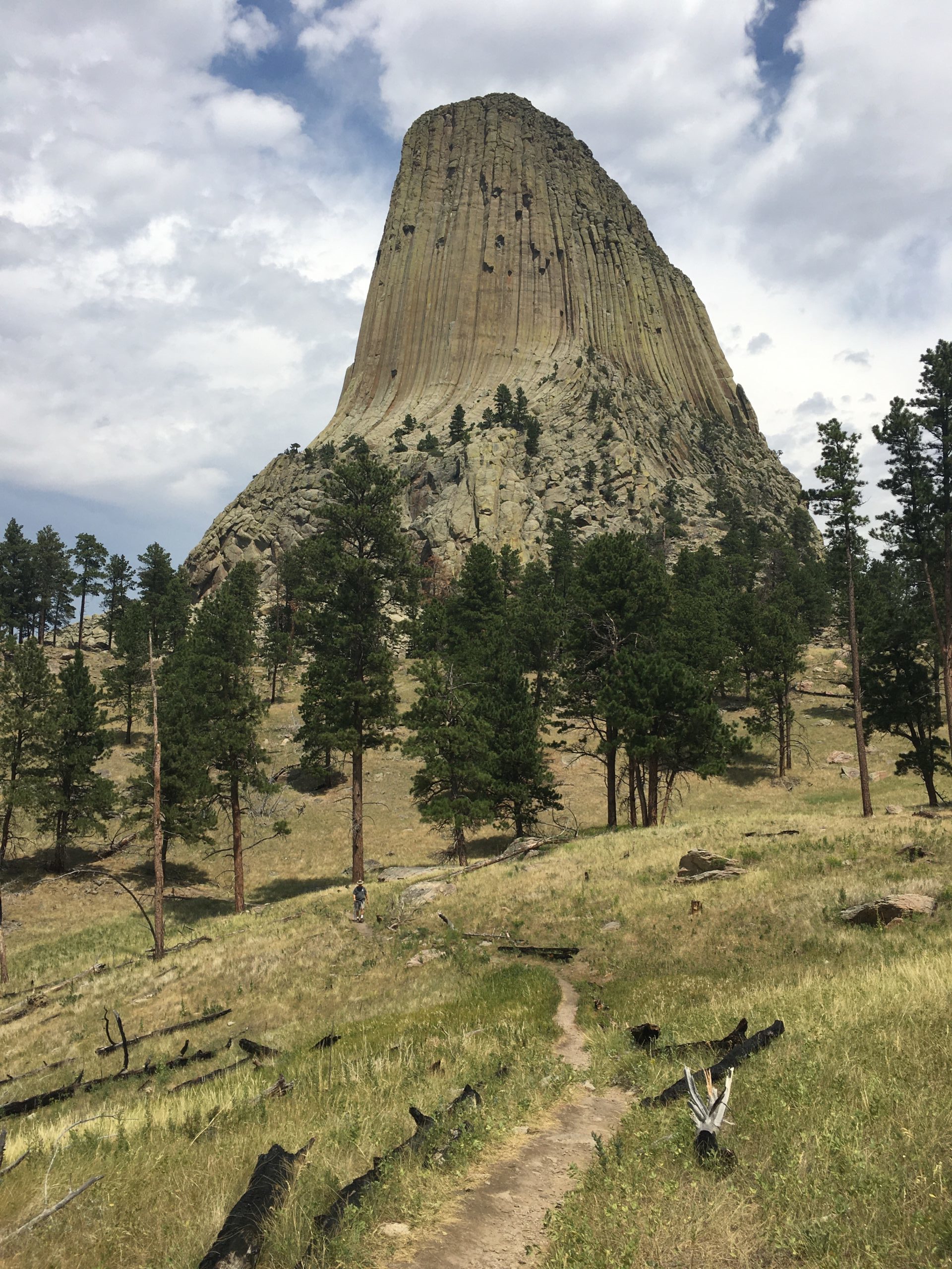
Gives it some perspective. : )
We actually end up at the road, and then cross over.
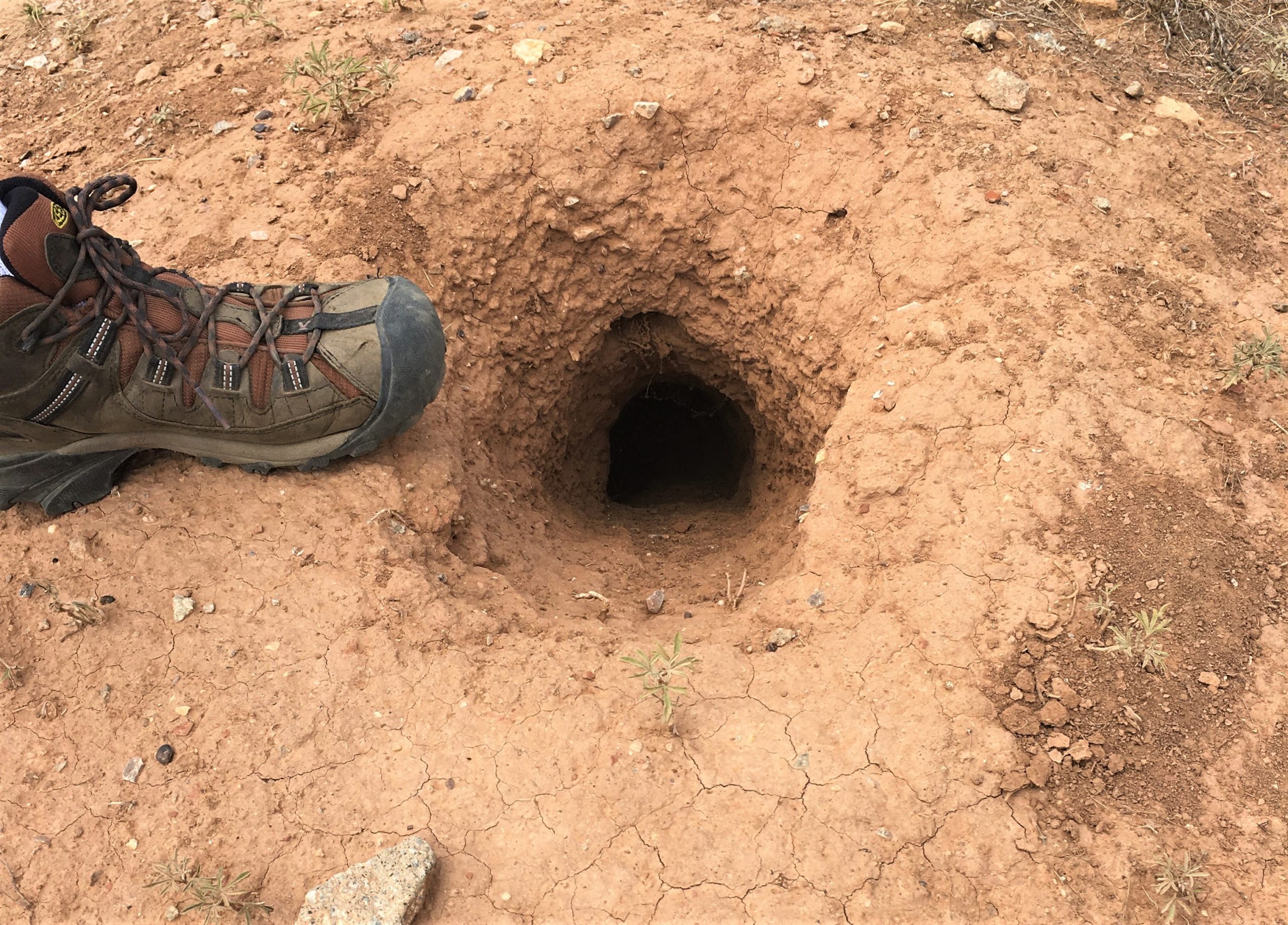
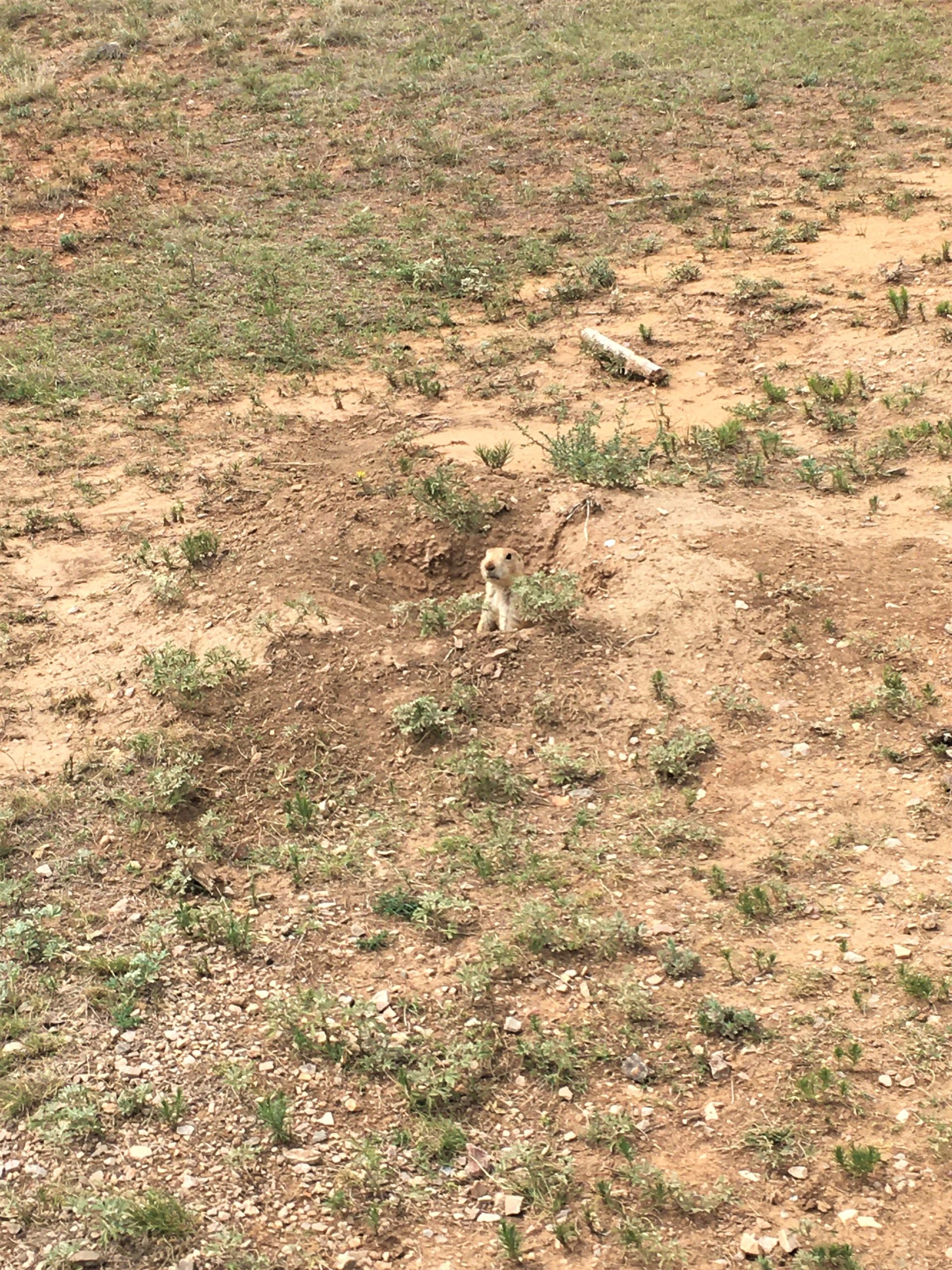
We turned, and there was a prairie dog!
And he didn’t stop chirping, or run off when we took pictures!
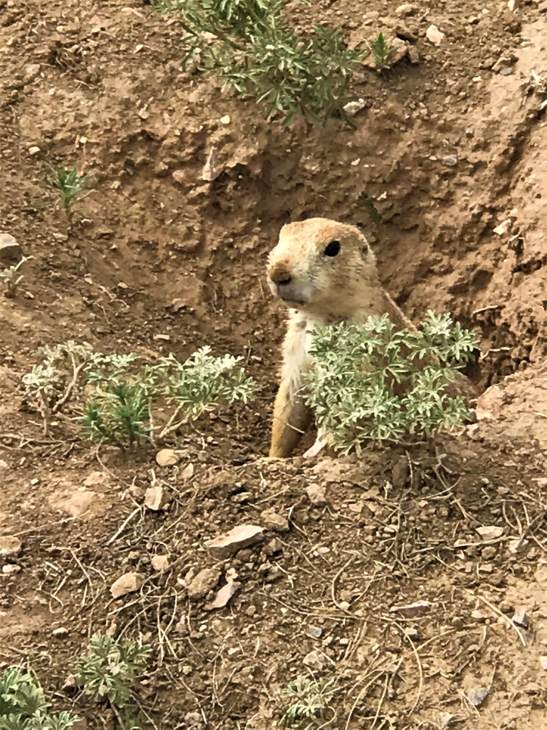
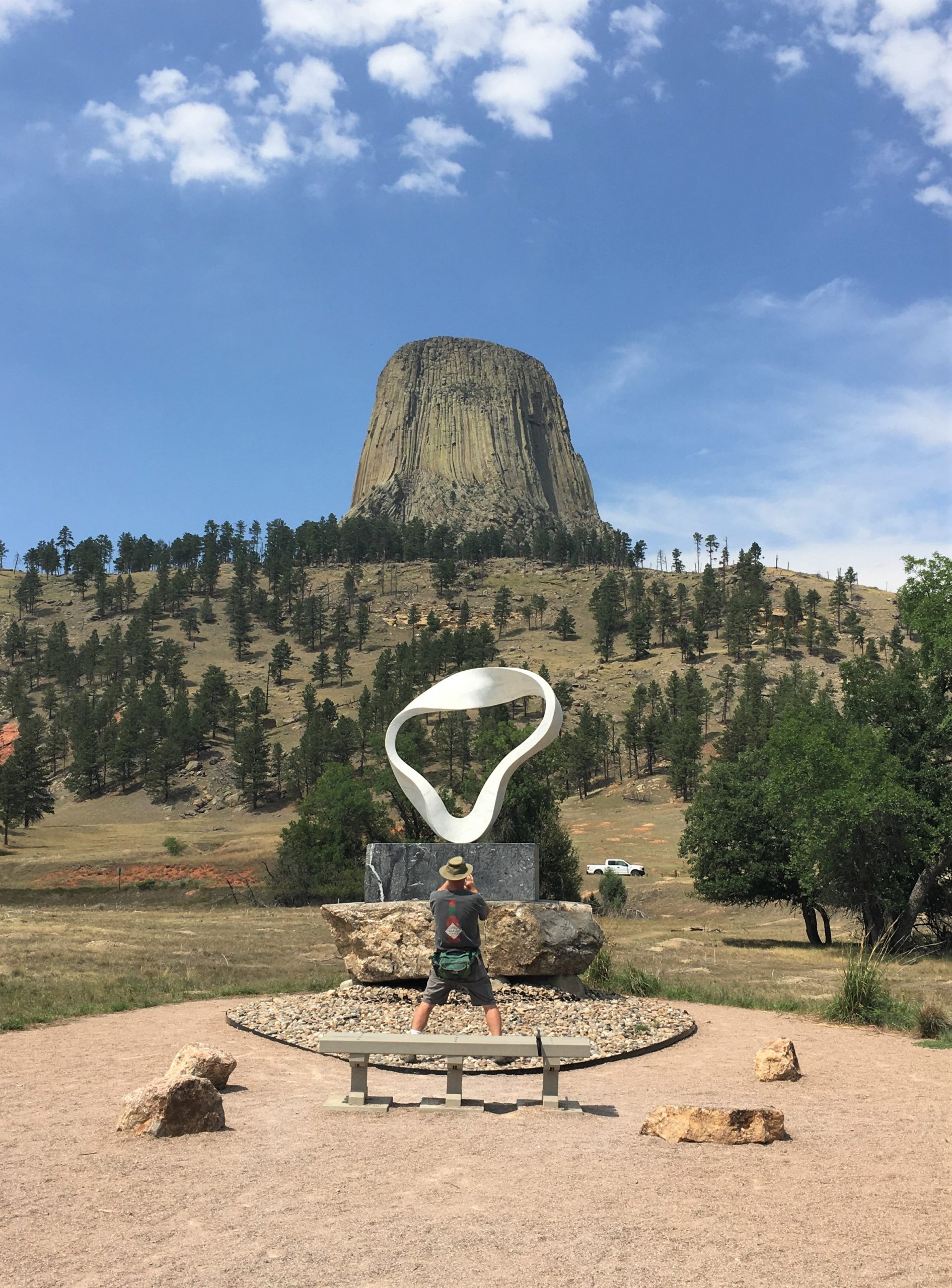
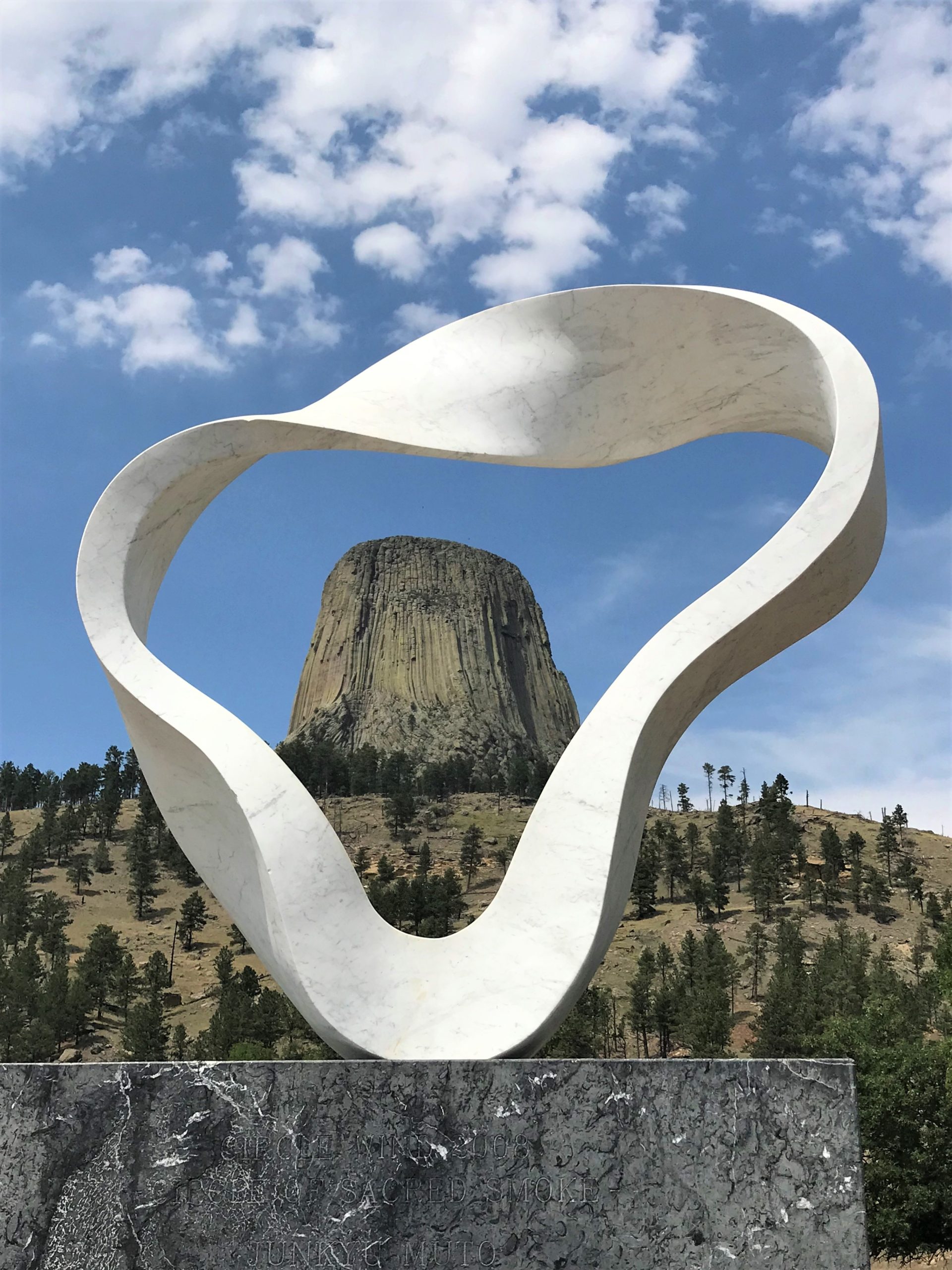
The South Side trail was a loop around a prairie dog town, which was easy and fun! It also took us to a sculpture that was pretty cool.
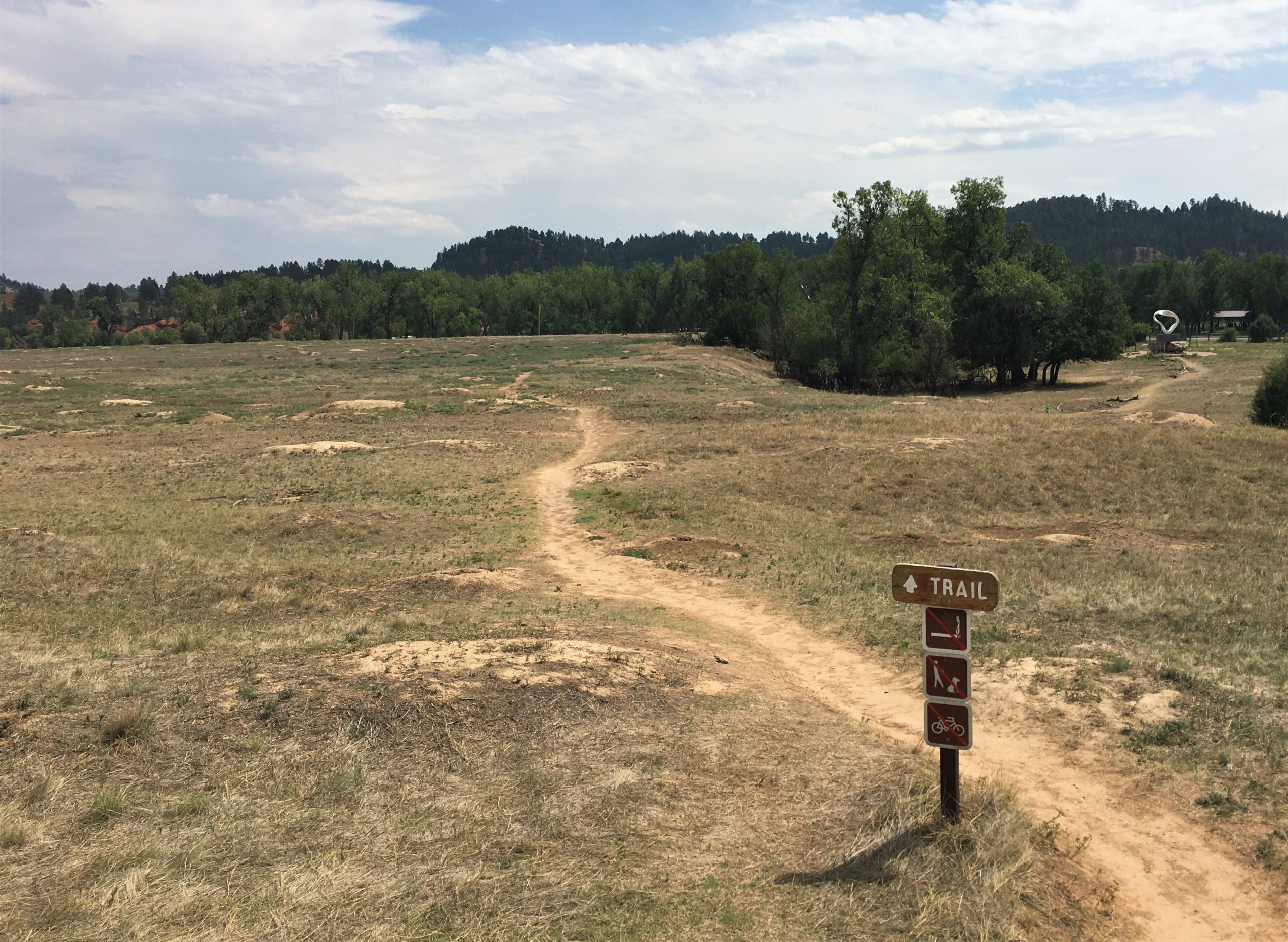
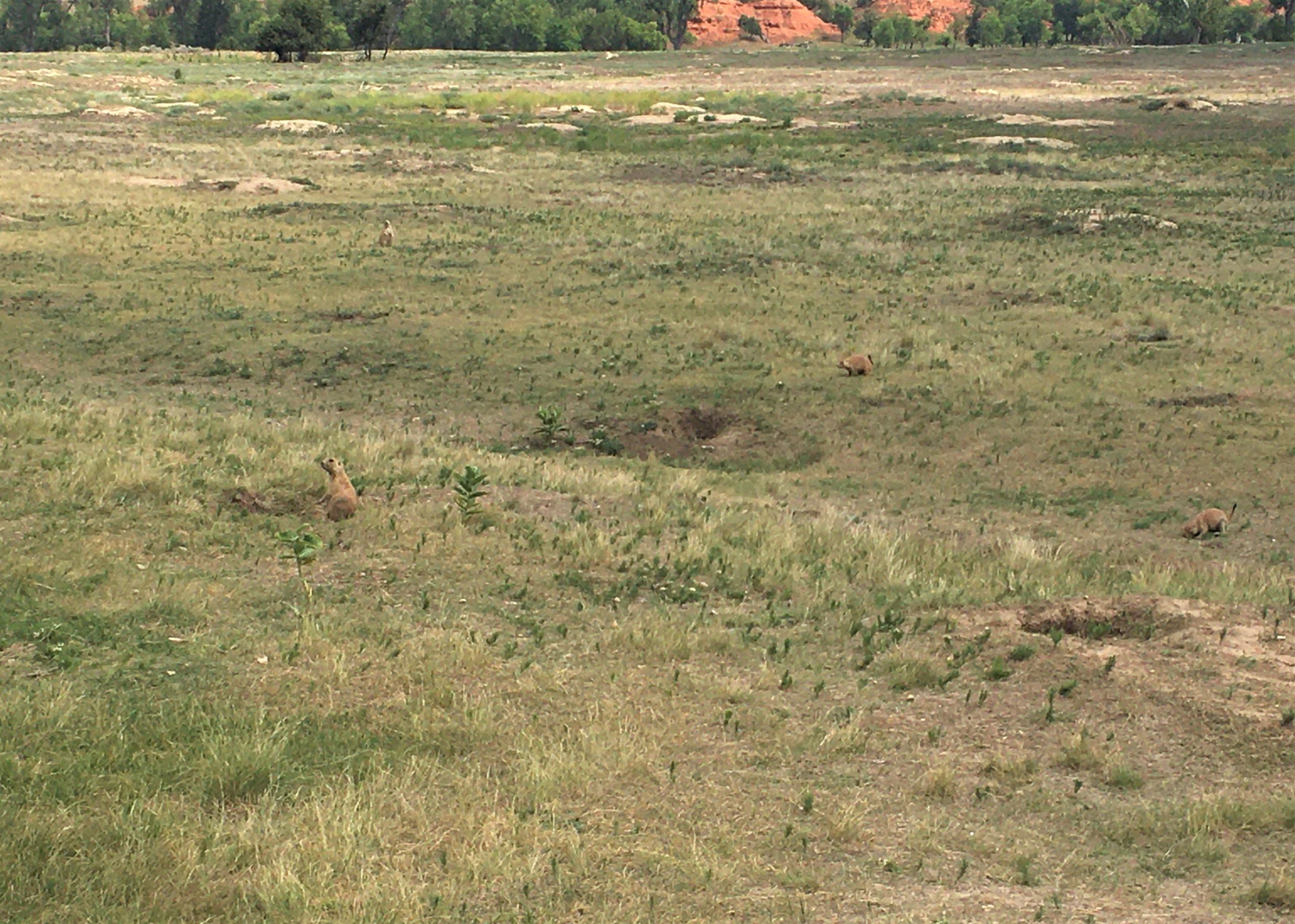
We really enjoyed watching God’s furry creatures scurry about!
Despite the fact that it was really warm out there.
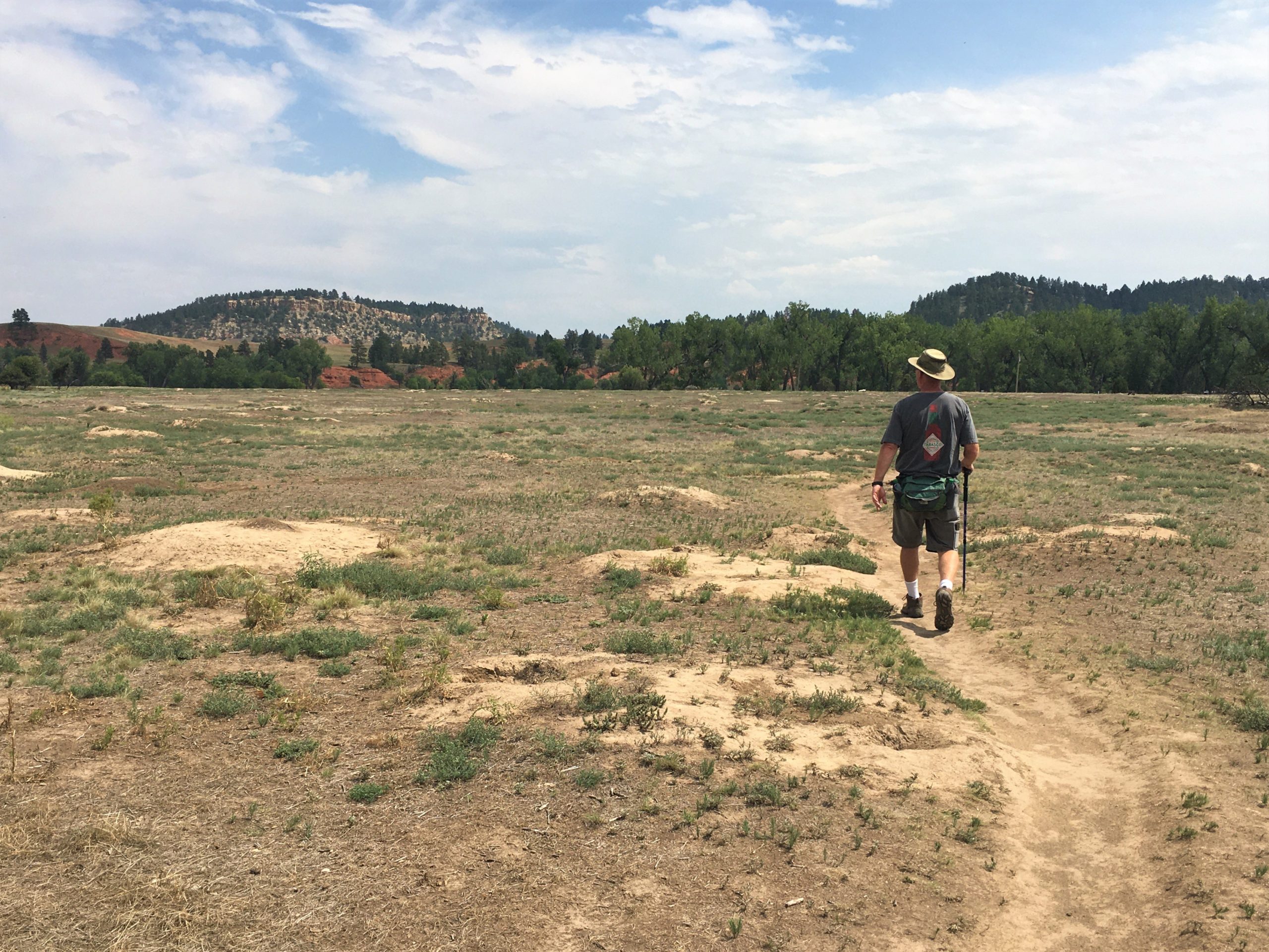
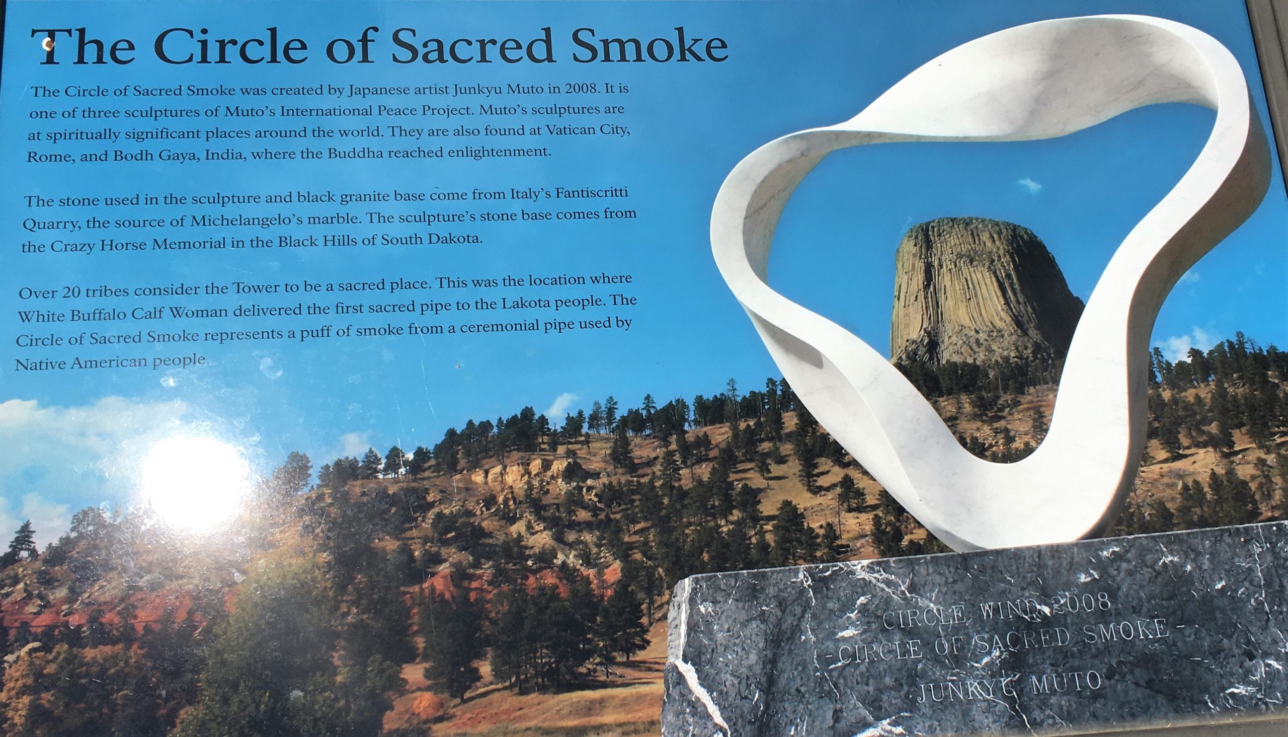
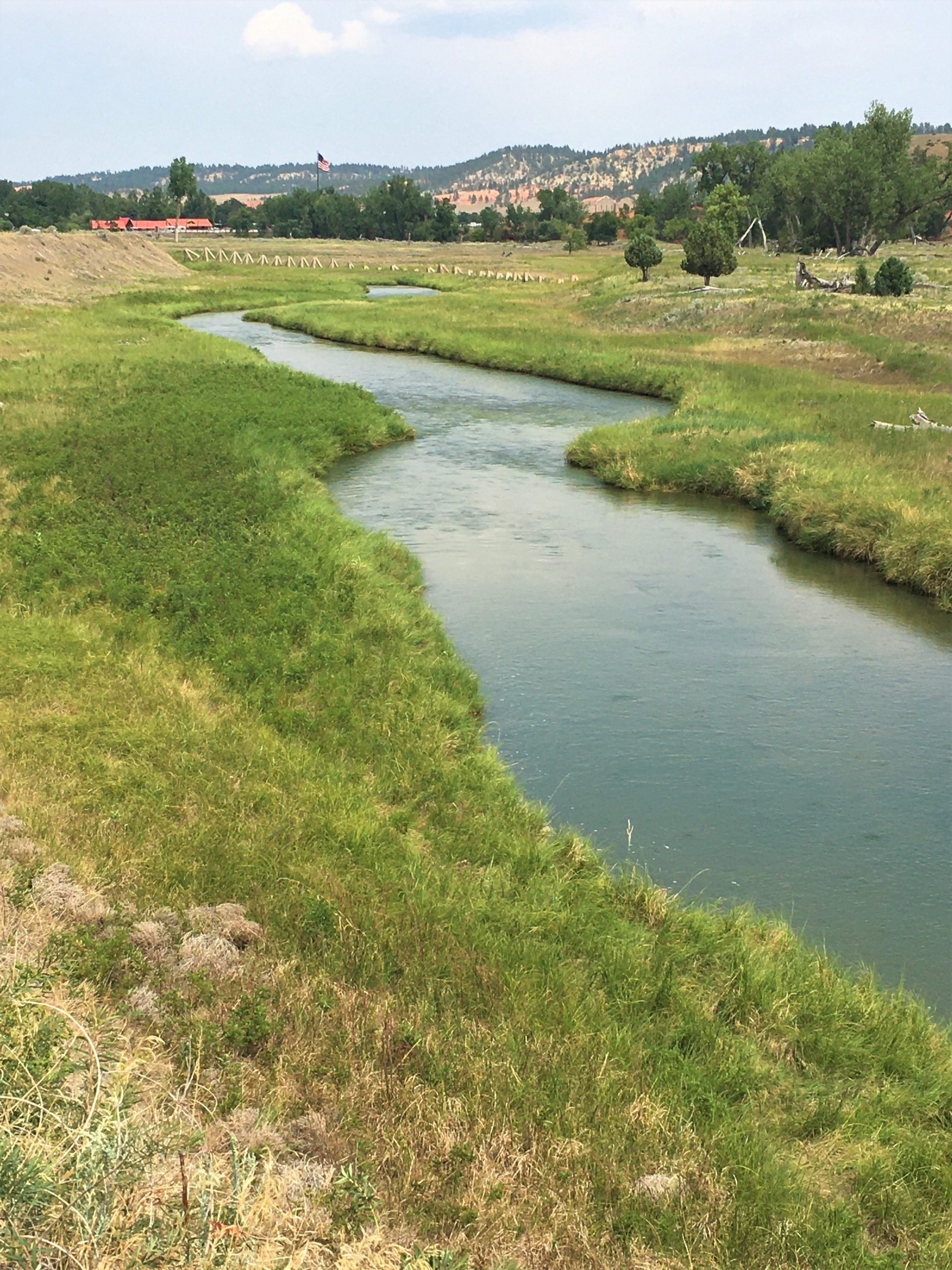
We’re heading up to rejoin the Red Beds Trail.
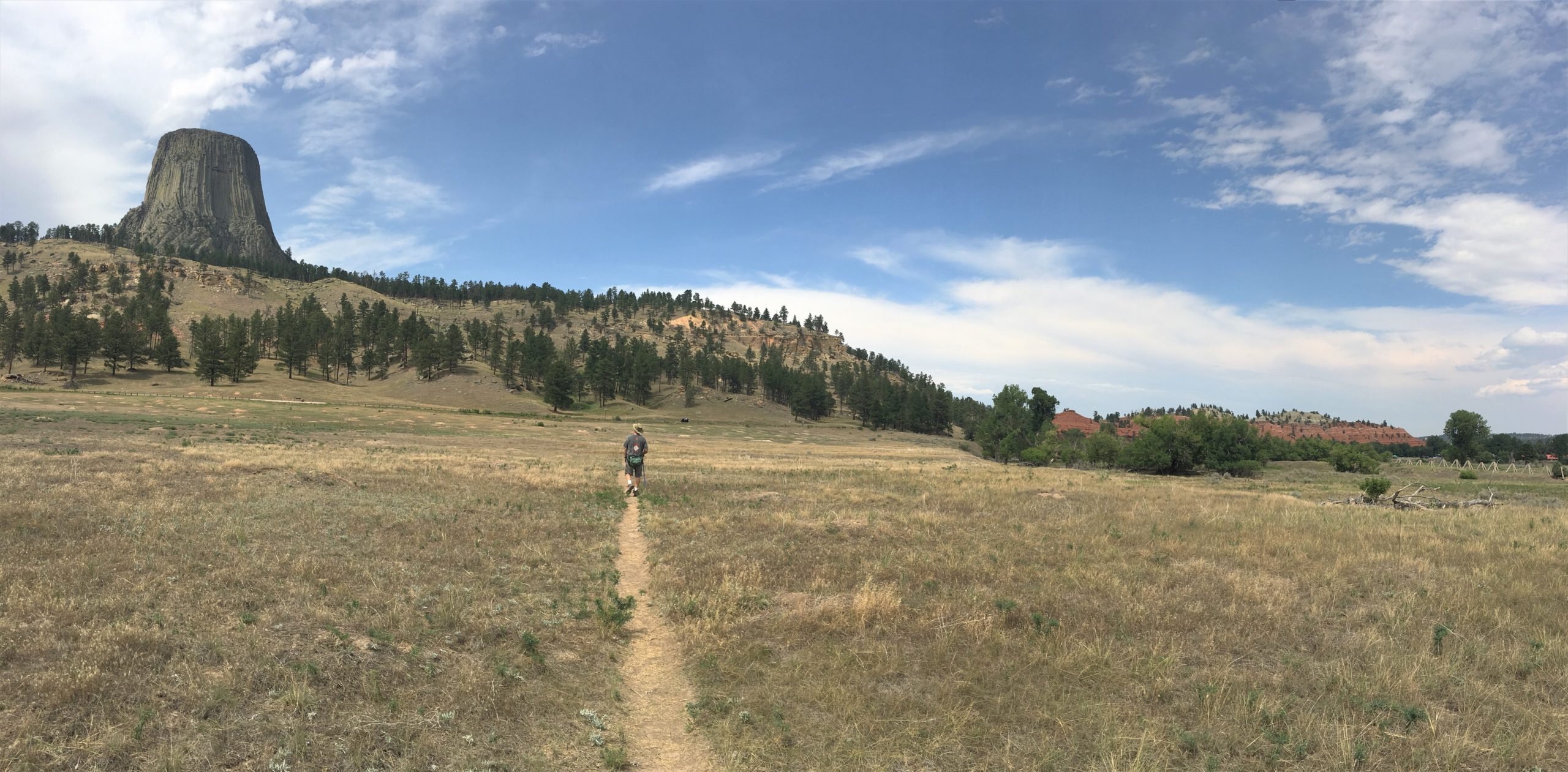
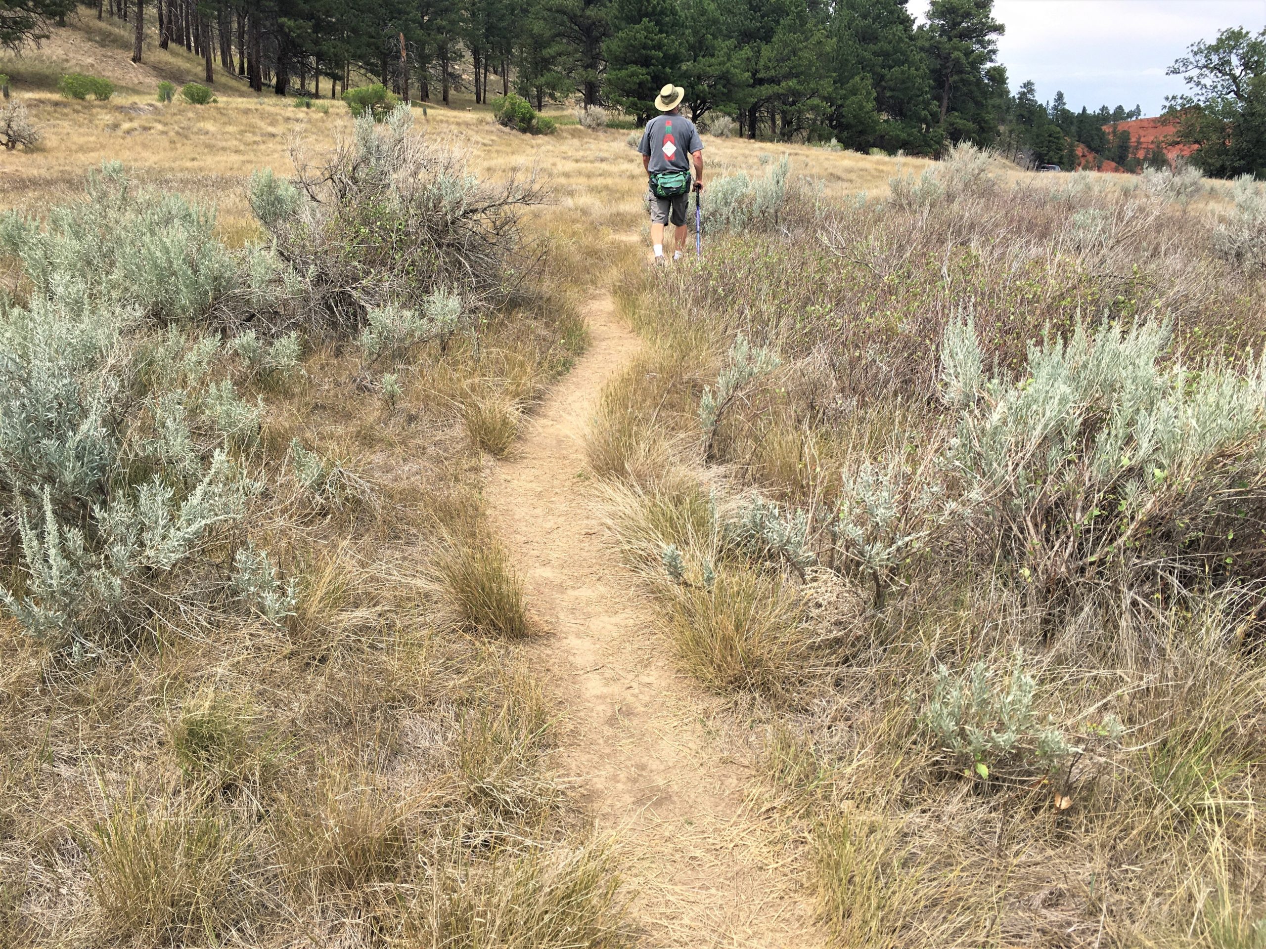
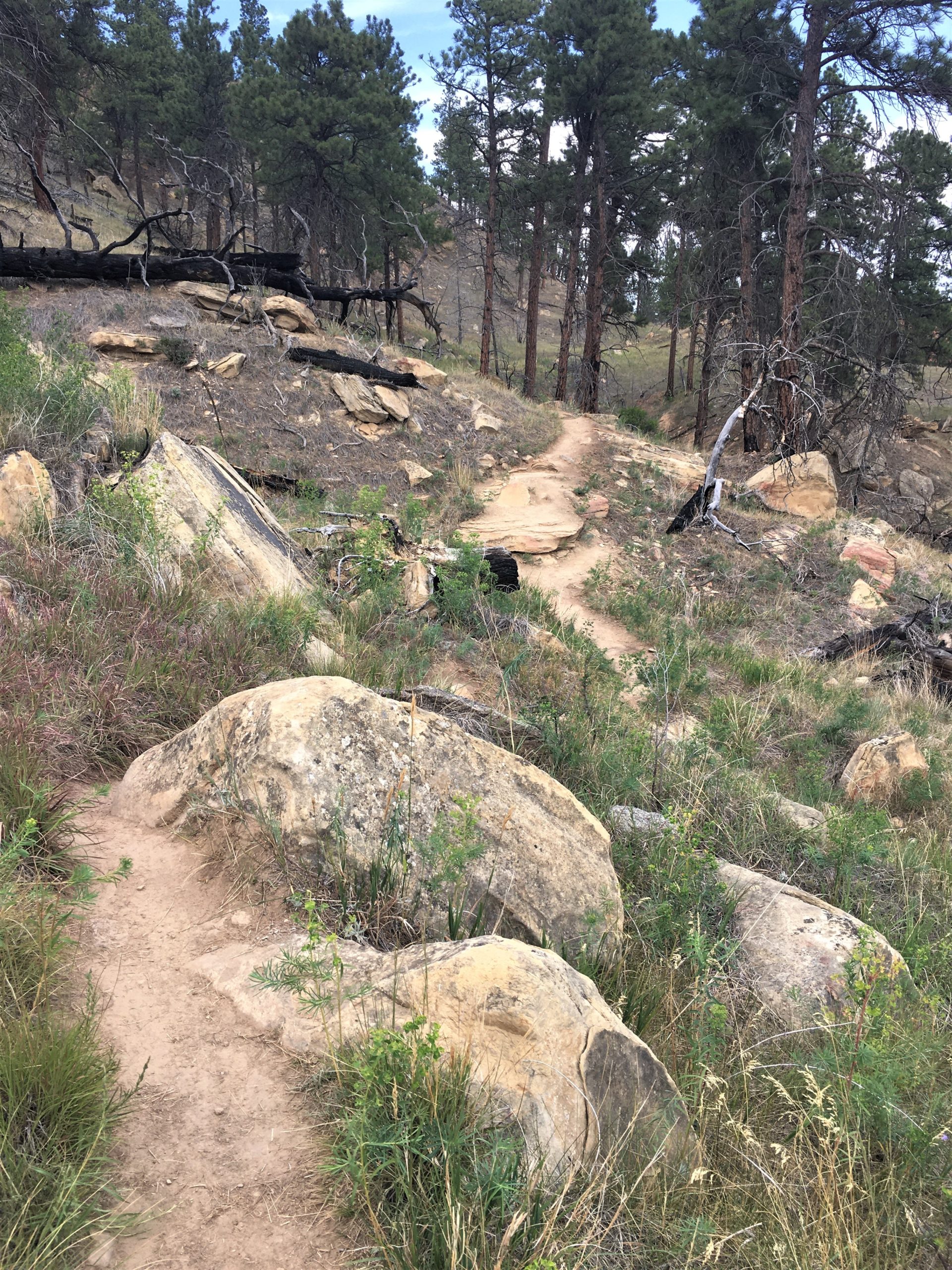
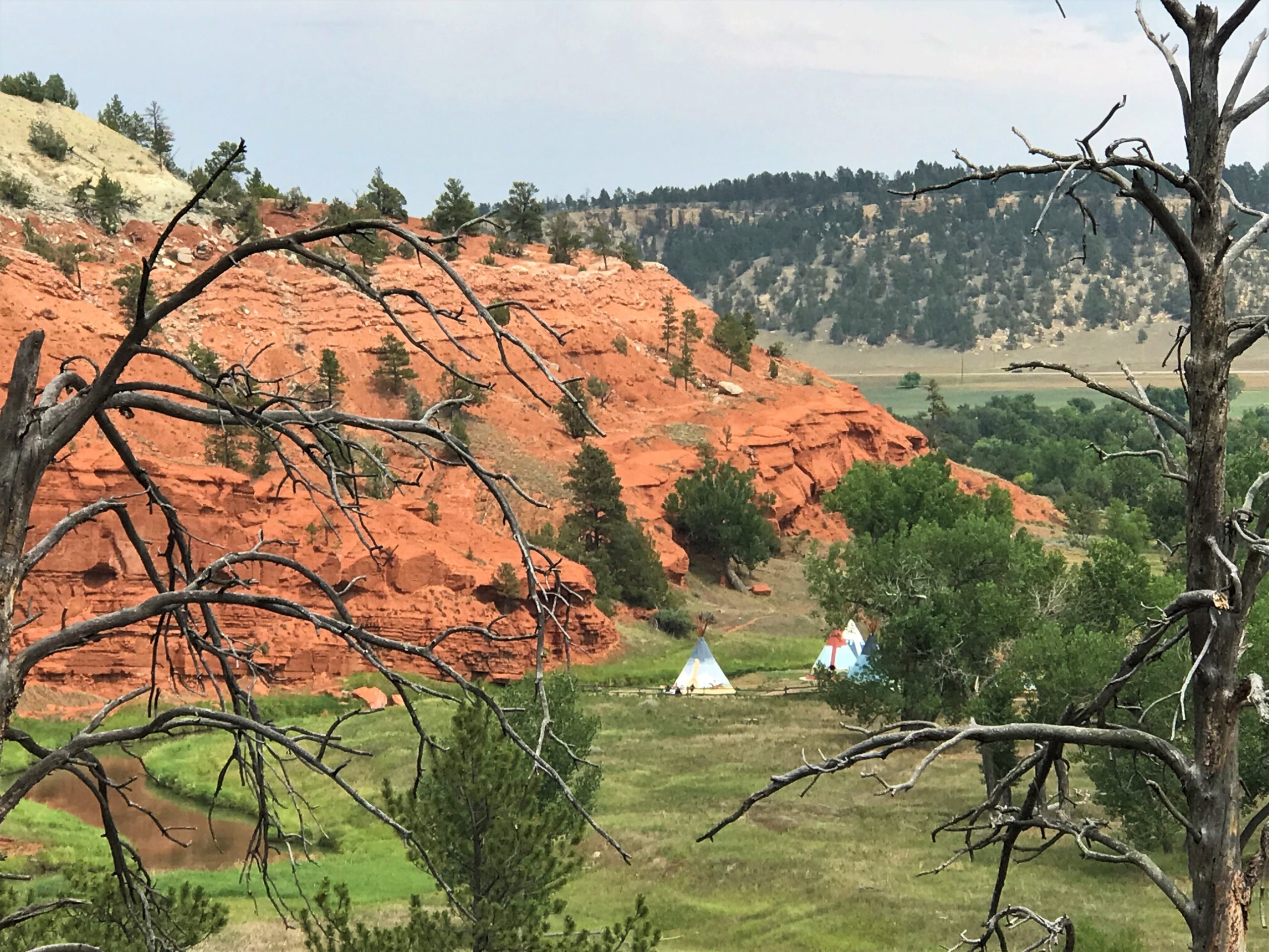
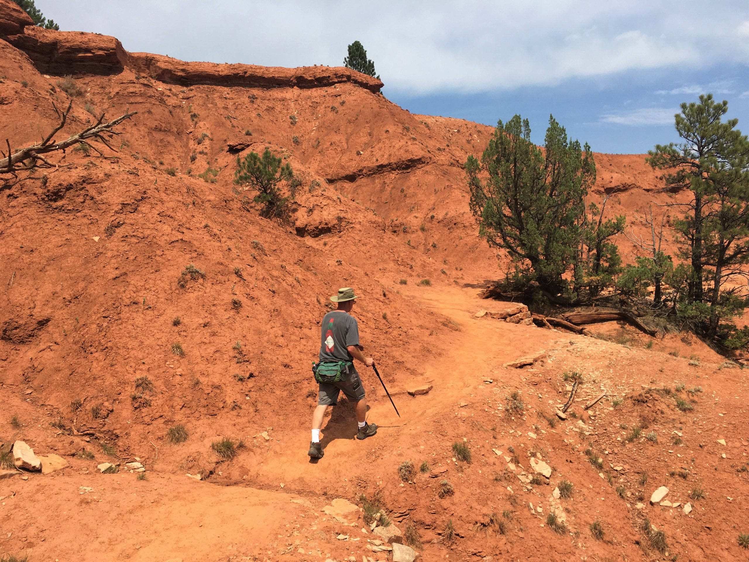
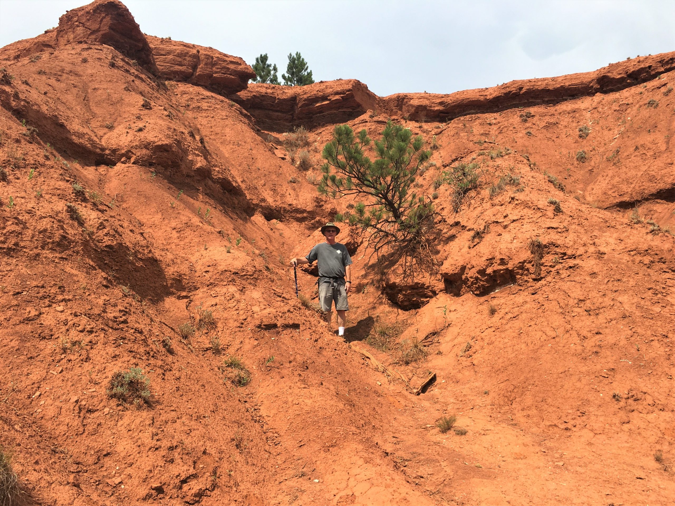
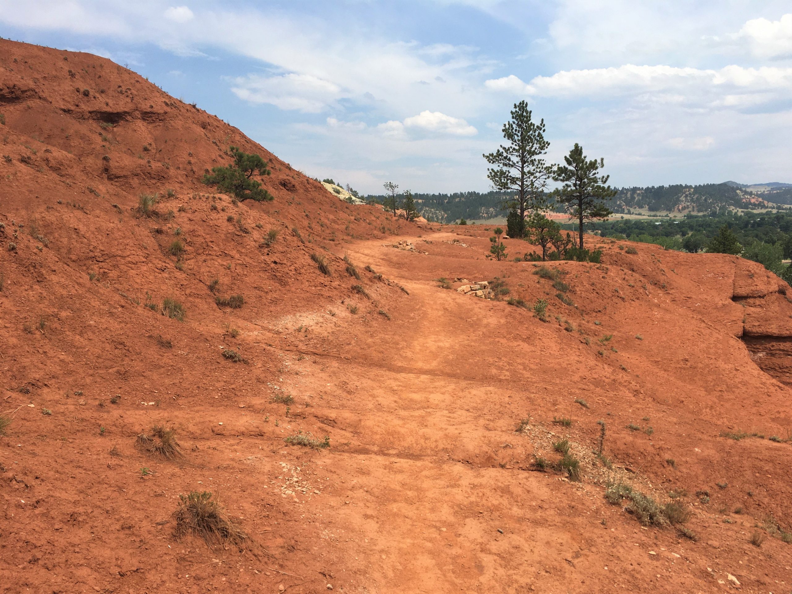
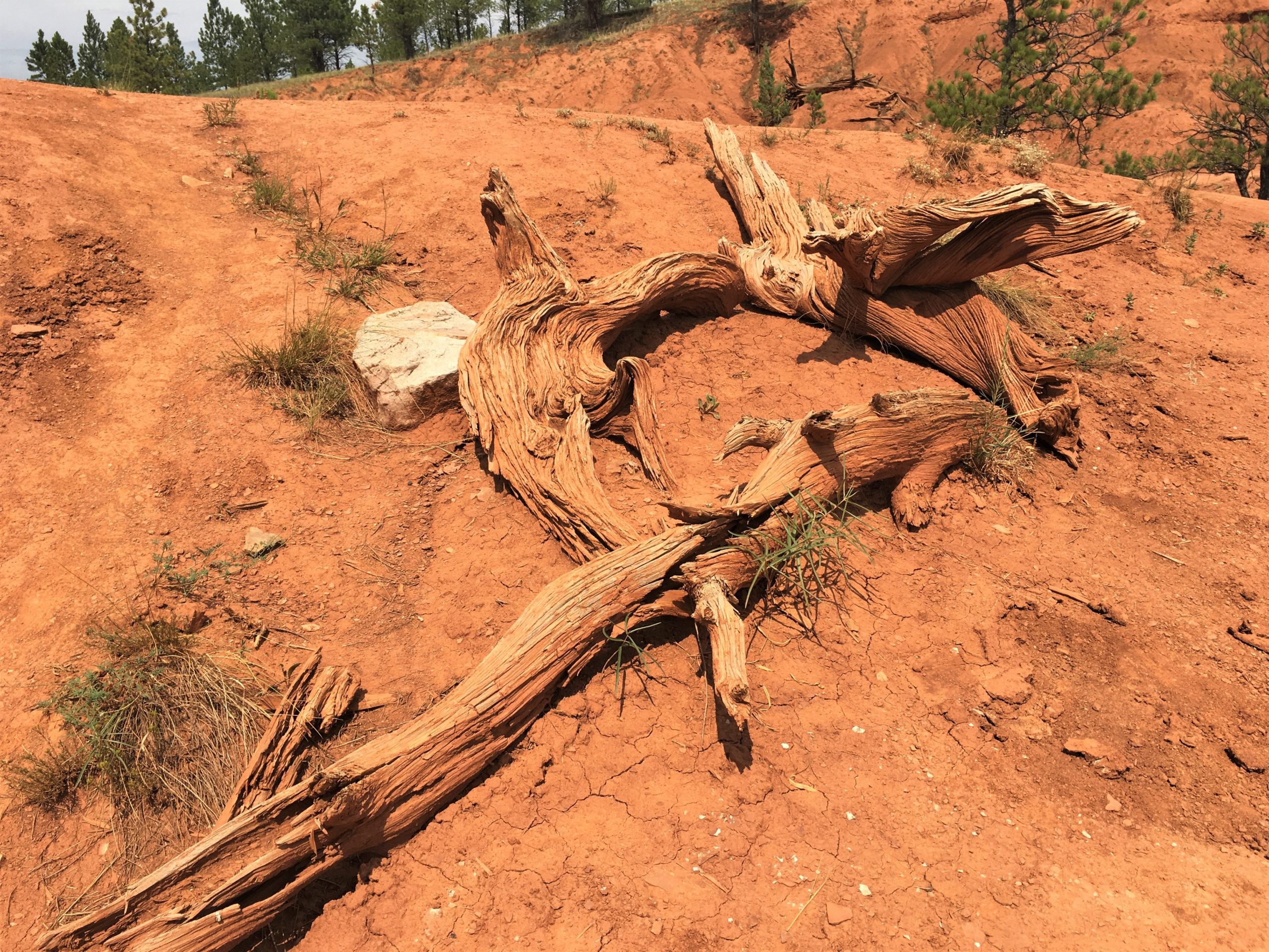
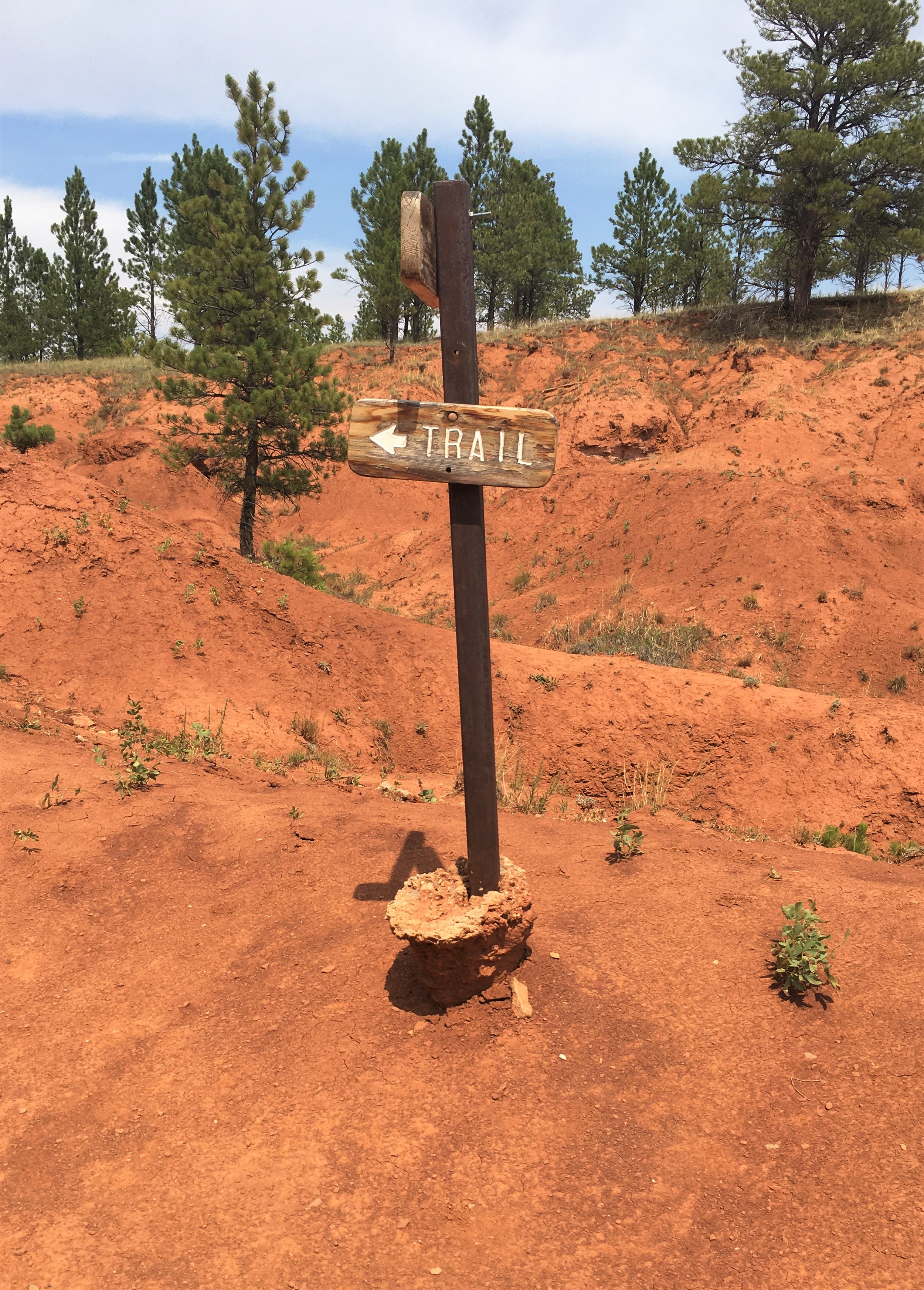
but there’s quite a bit of erosion going on here.
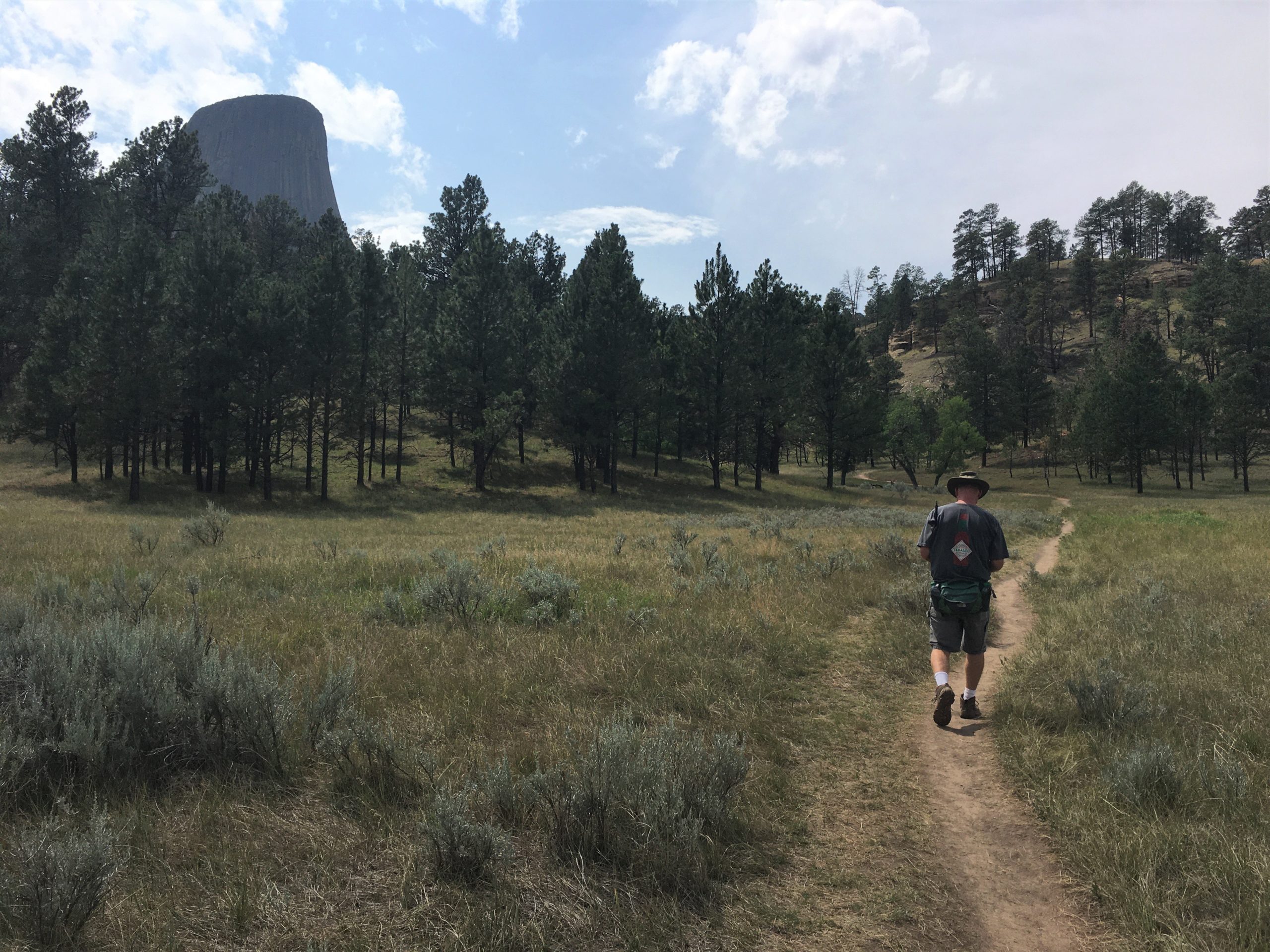
Aren’t you glad? : )
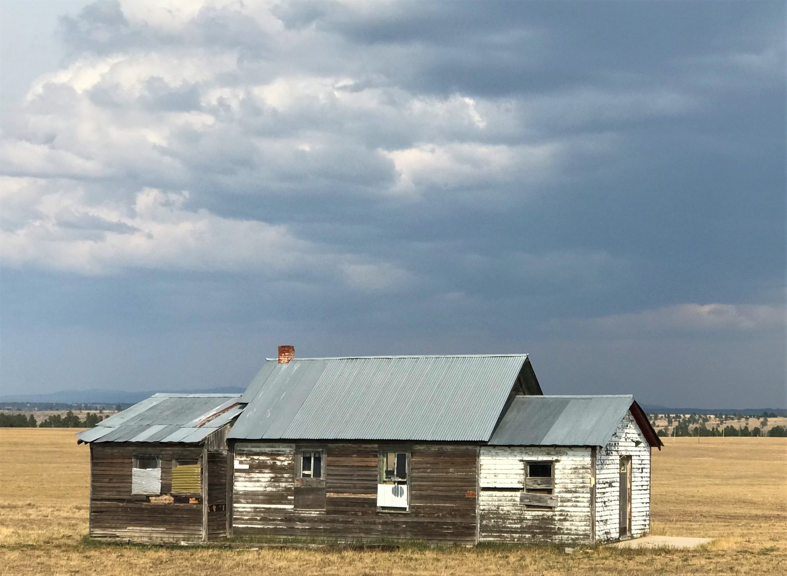
See the storm clouds forming?
Made for a great picture!
We were back home before the dinnertime storm hit, raining down a bunch of marble-sized hail. It was fun! (because it didn’t do any damage. 😊)
