Raccoon Mountain Campground and Caverns, Chattanooga, Tennessee
Three days later, while all of them were still in pain, two of Jacob’s sons, Simeon and Levi, Dinah’s brothers, took their swords and attacked the unsuspecting city, killing every male. They put Hamor and his son Shechem to the sword and took Dinah from Shechem’s house and left. ~ Genesis 34:25-26 I don’t know how big this town was, nor how difficult it was for grown men back then to recover from circumcision, but I find it pretty incredible that these two men who were untrained in battle, could go in and decimate the entire male population. Wouldn’t you think the women would’ve tried to stop them, along with their disabled men? I don’t doubt the truth of God’s Word, I’d just like to have been a fly on the wall.

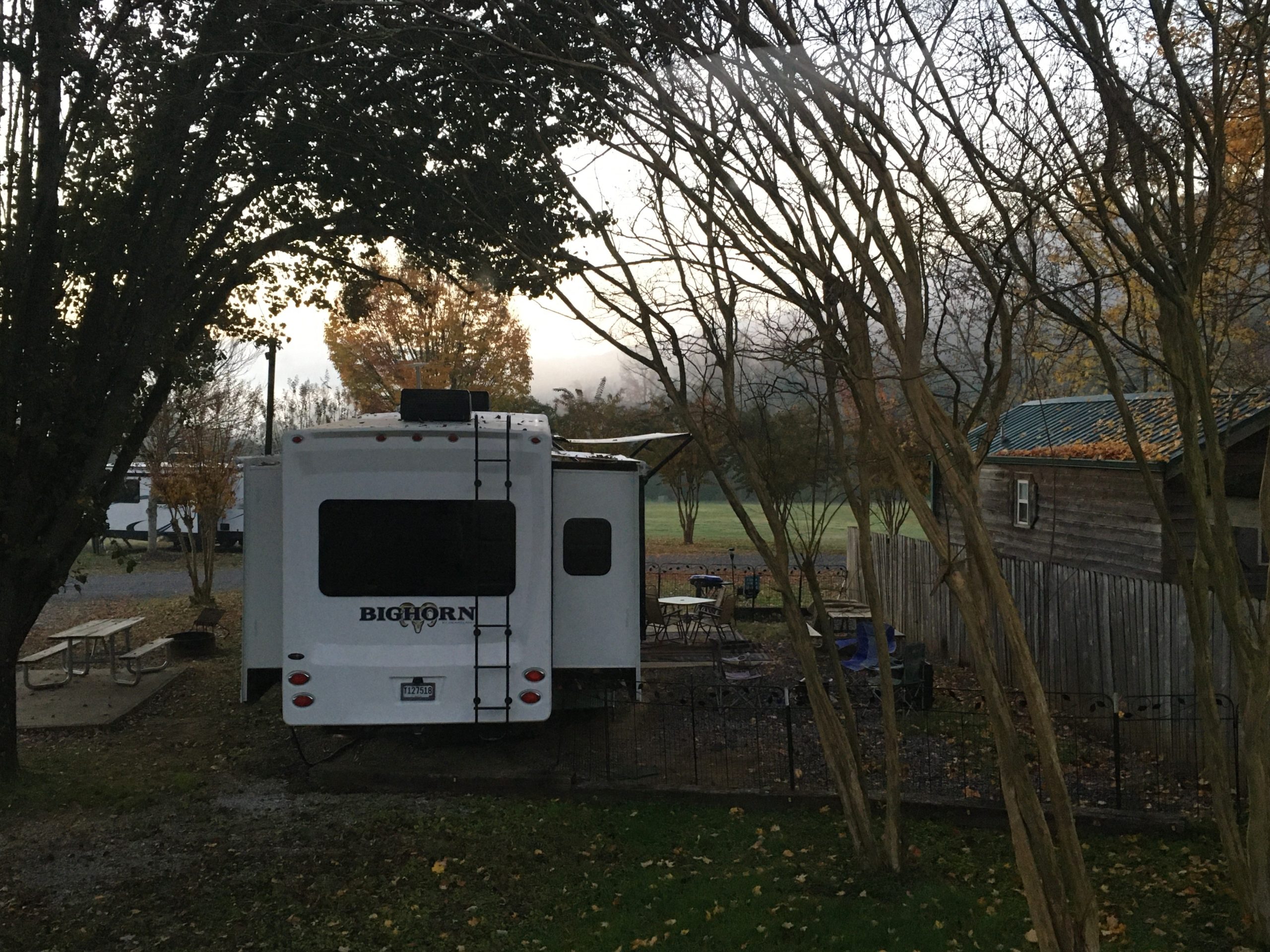
Before we left on this chilly morning, we had an unexpected visitor peek in to check out the place. 😊
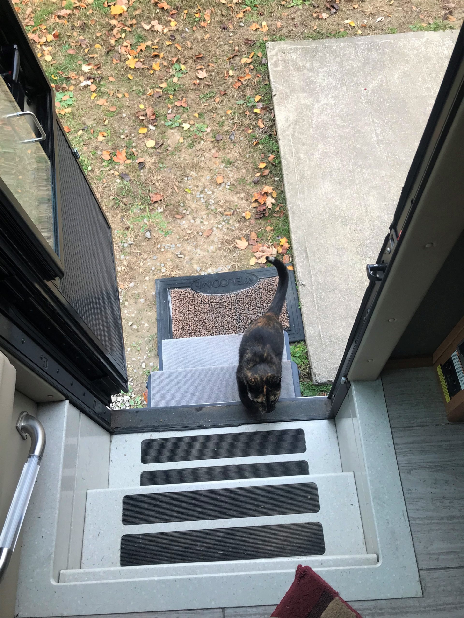
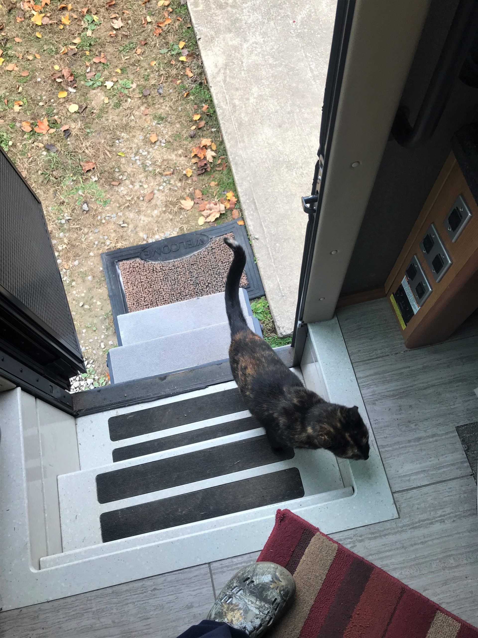
That’s all the further she went.
She never came in, despite Blaine’s unexpected invitation. Seems she’s a campground cat. Maybe it’s her job to keep tabs on everyone.
Our guardian angel had to do some quick and heavy work today!
In order to get to Lookout Mountain (today’s destination), there’s this really narrow, very curvy, steeply graded road you have to travel on. We’d barely begun when suddenly, around the corner and over the center line loomed a large commercial dump truck! Blaine blared our horn and was barely able to get off the road before it hit us! If we’d been at a different place on the road (actually most of it), we would’ve had no place to go, and he would’ve hit us head on, going fast! Thank goodness for Blaine’s quick reflexes and reserved speed on these mountain roads! And thank the Father for His protection! Getting hit by a reckless driver is not on my list of acceptable ways to go!
I was seriously going to report the driver, but the name that was on the side didn’t Google. Hopefully, he learned a lesson.
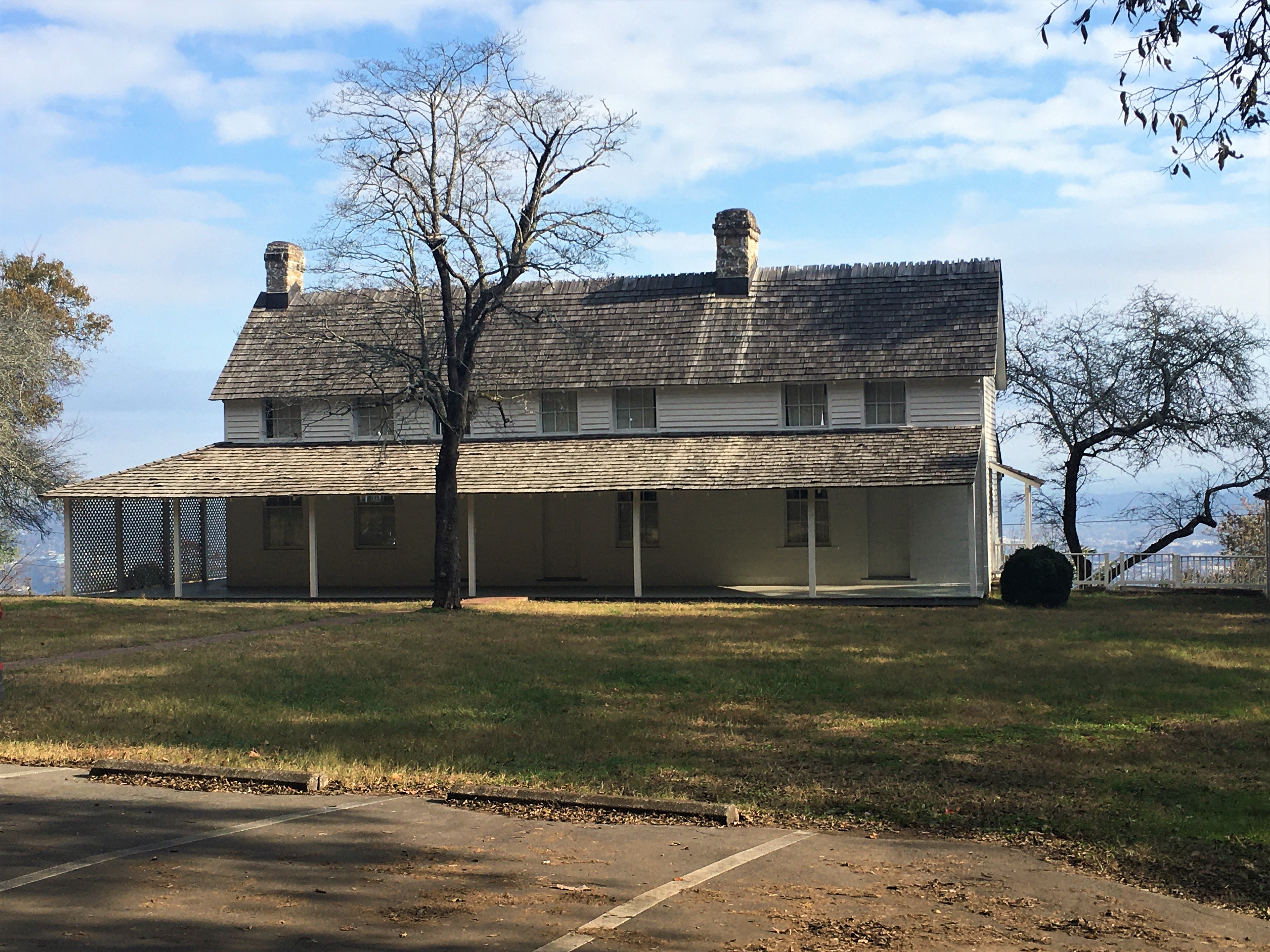
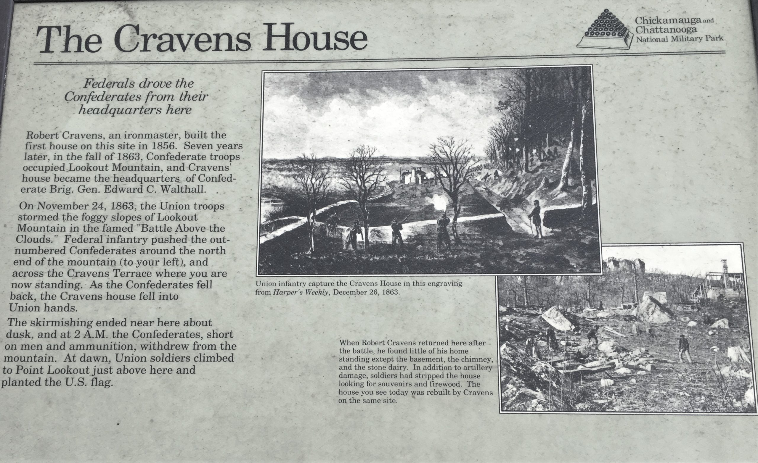
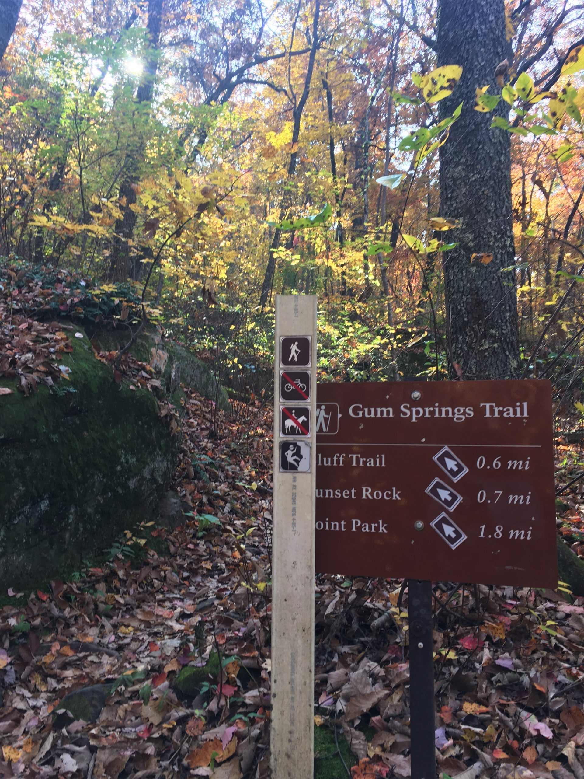
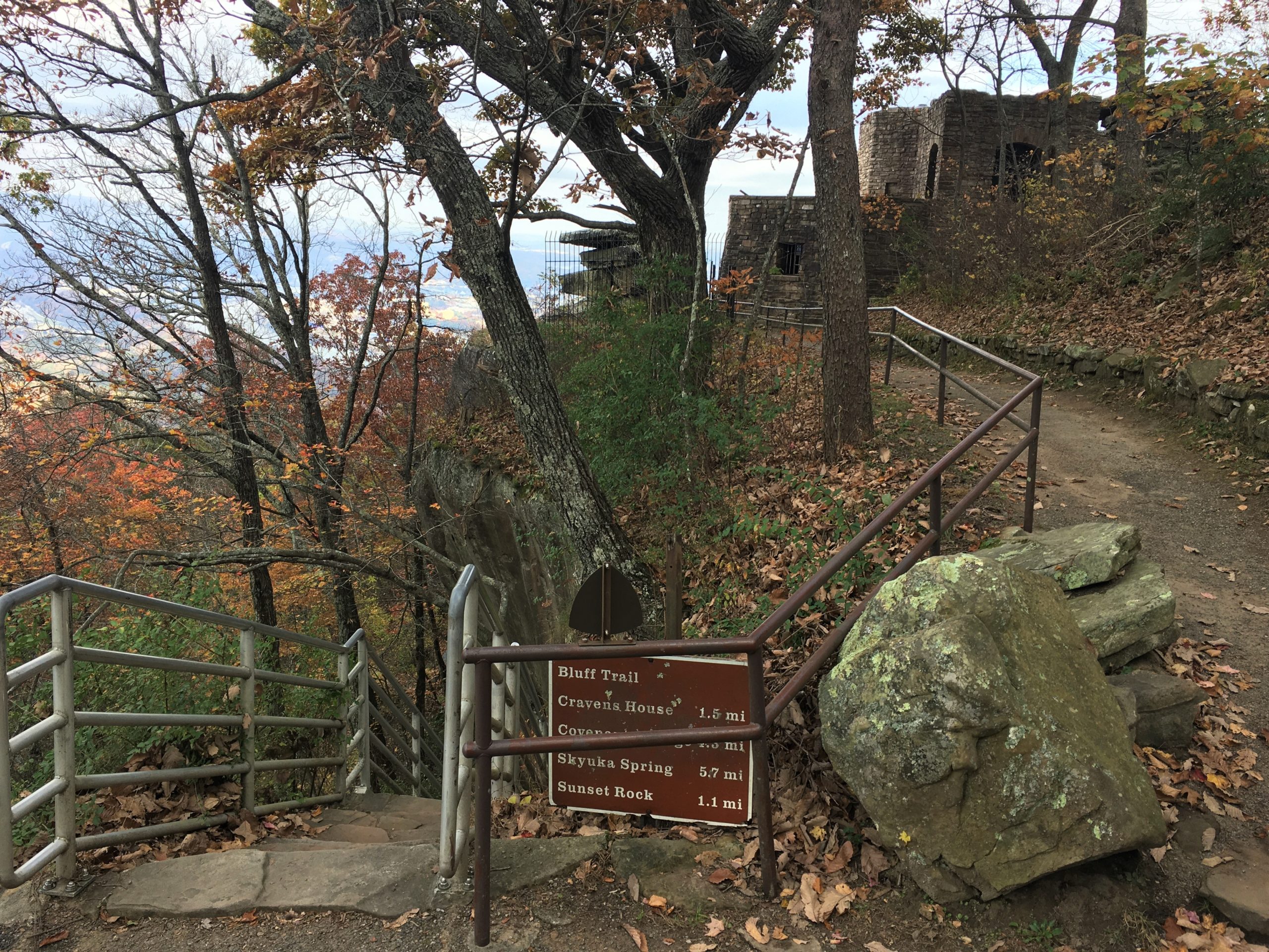
We parked at the Craven House in order to hike the rest of the way up to Sunset Rock and Point Peak National Park.
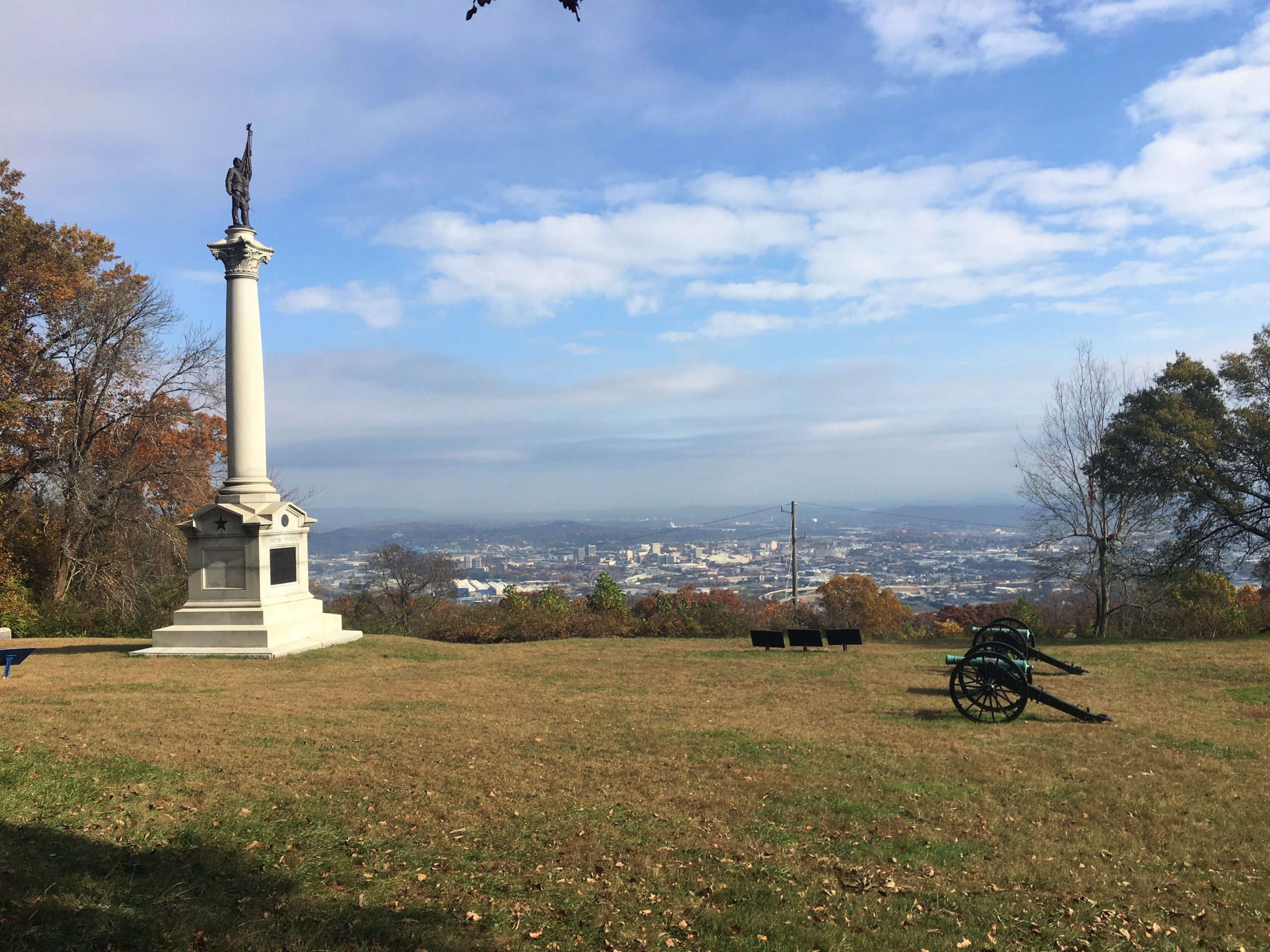
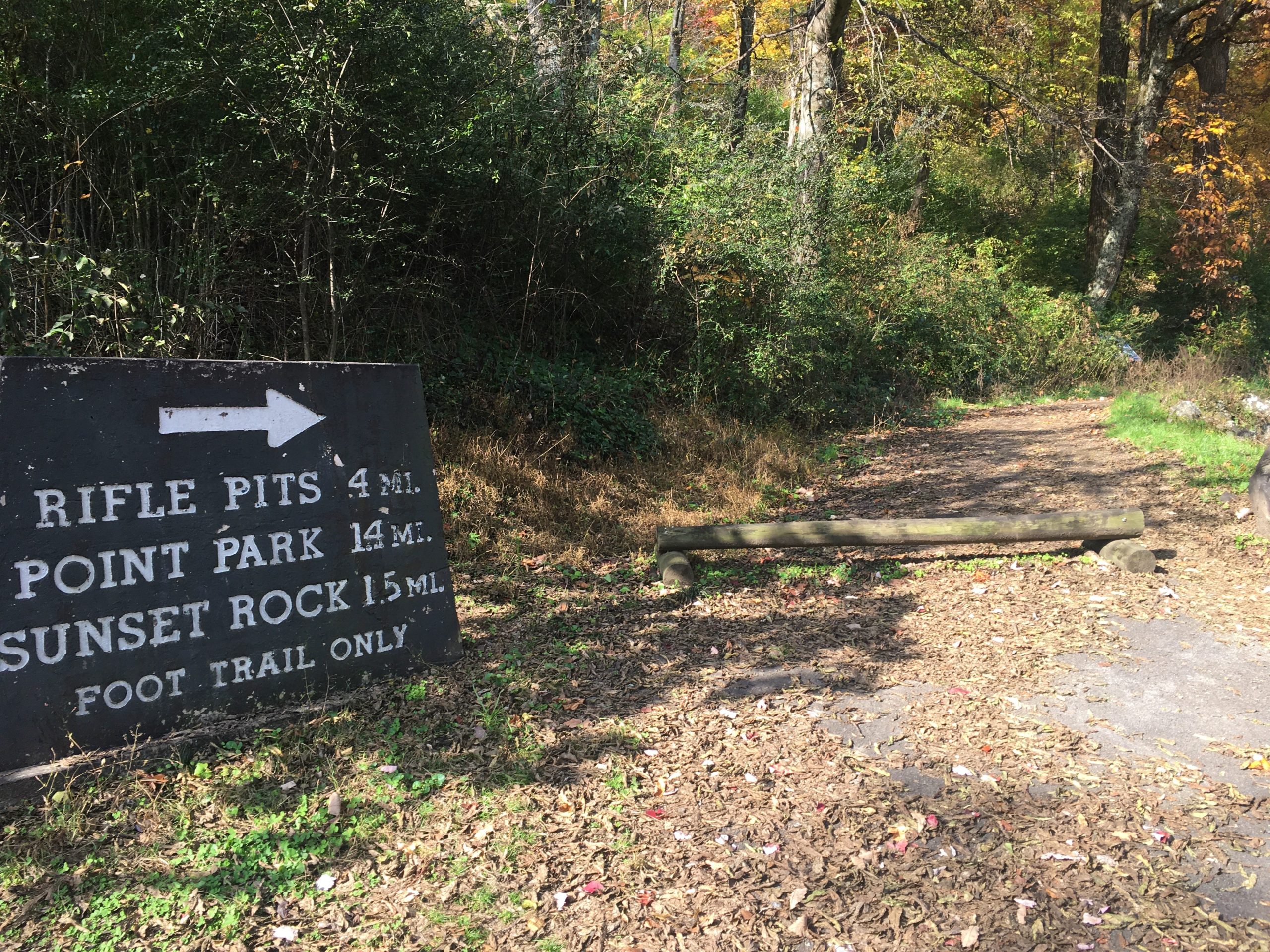
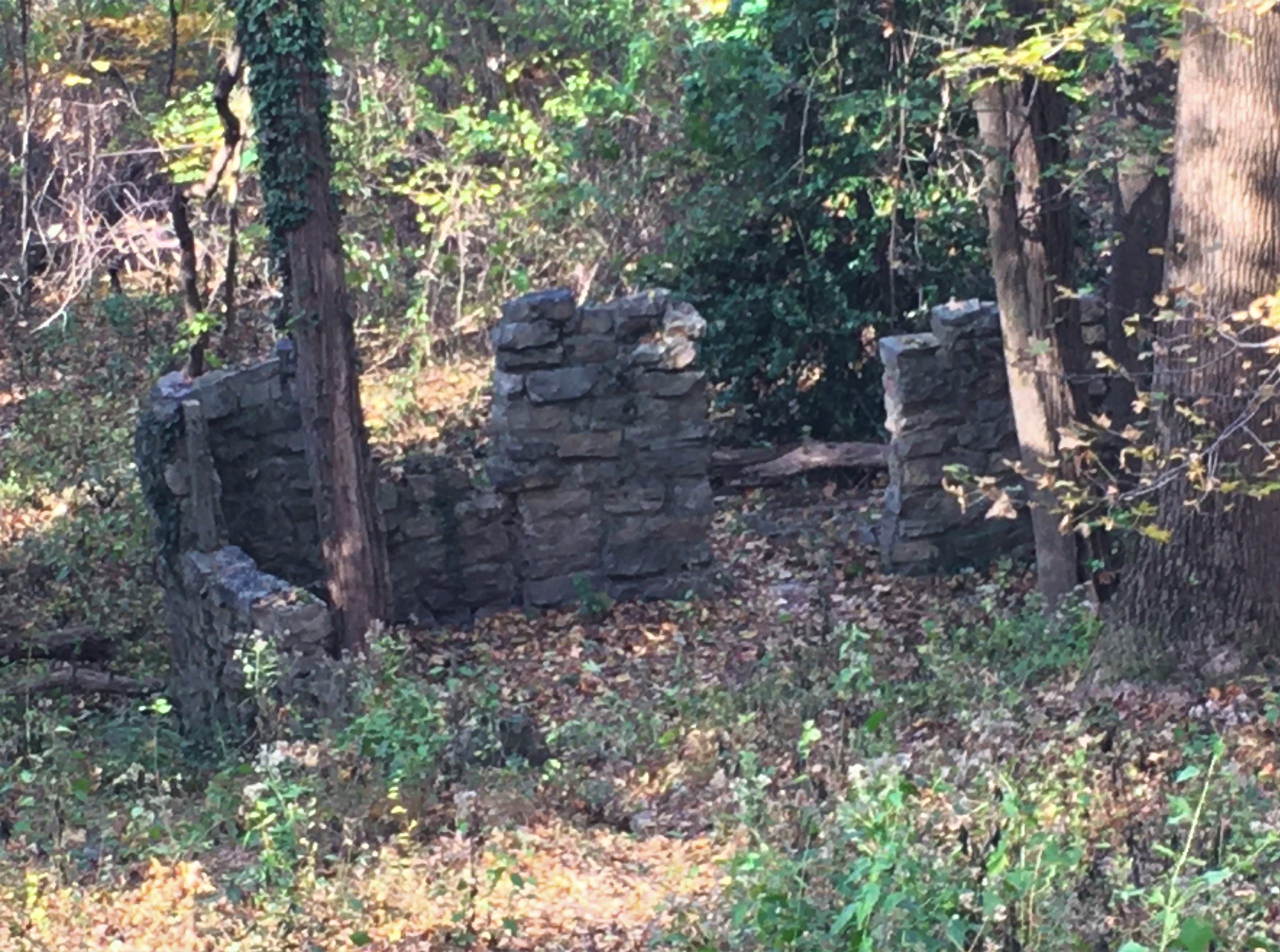
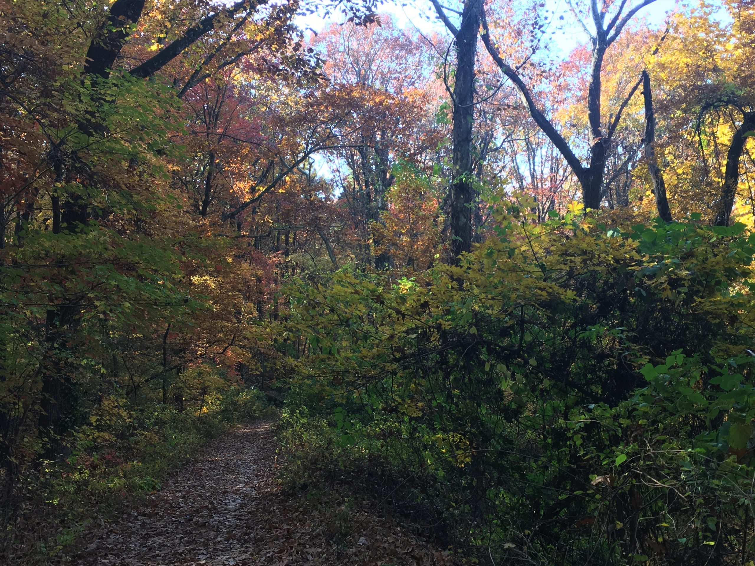
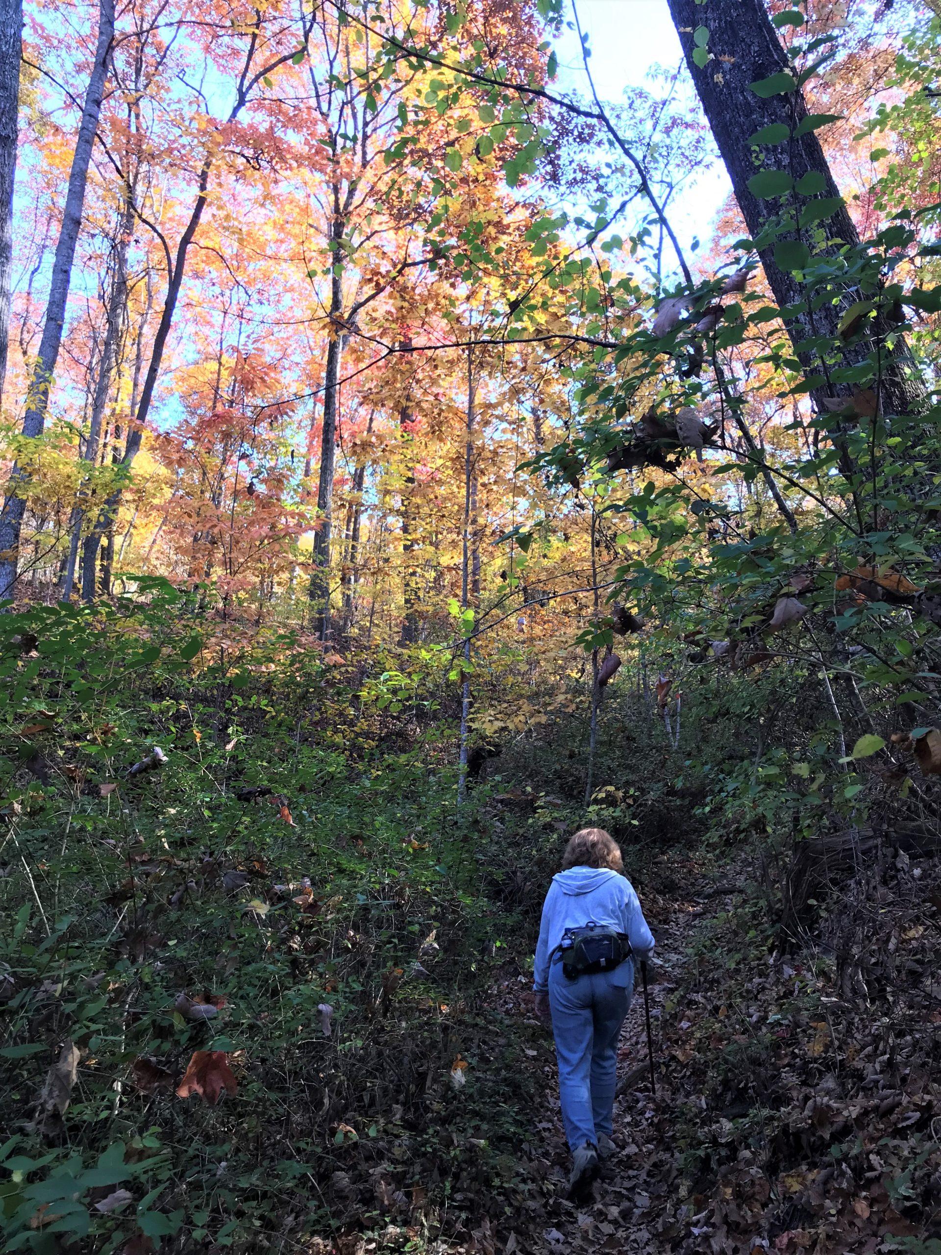
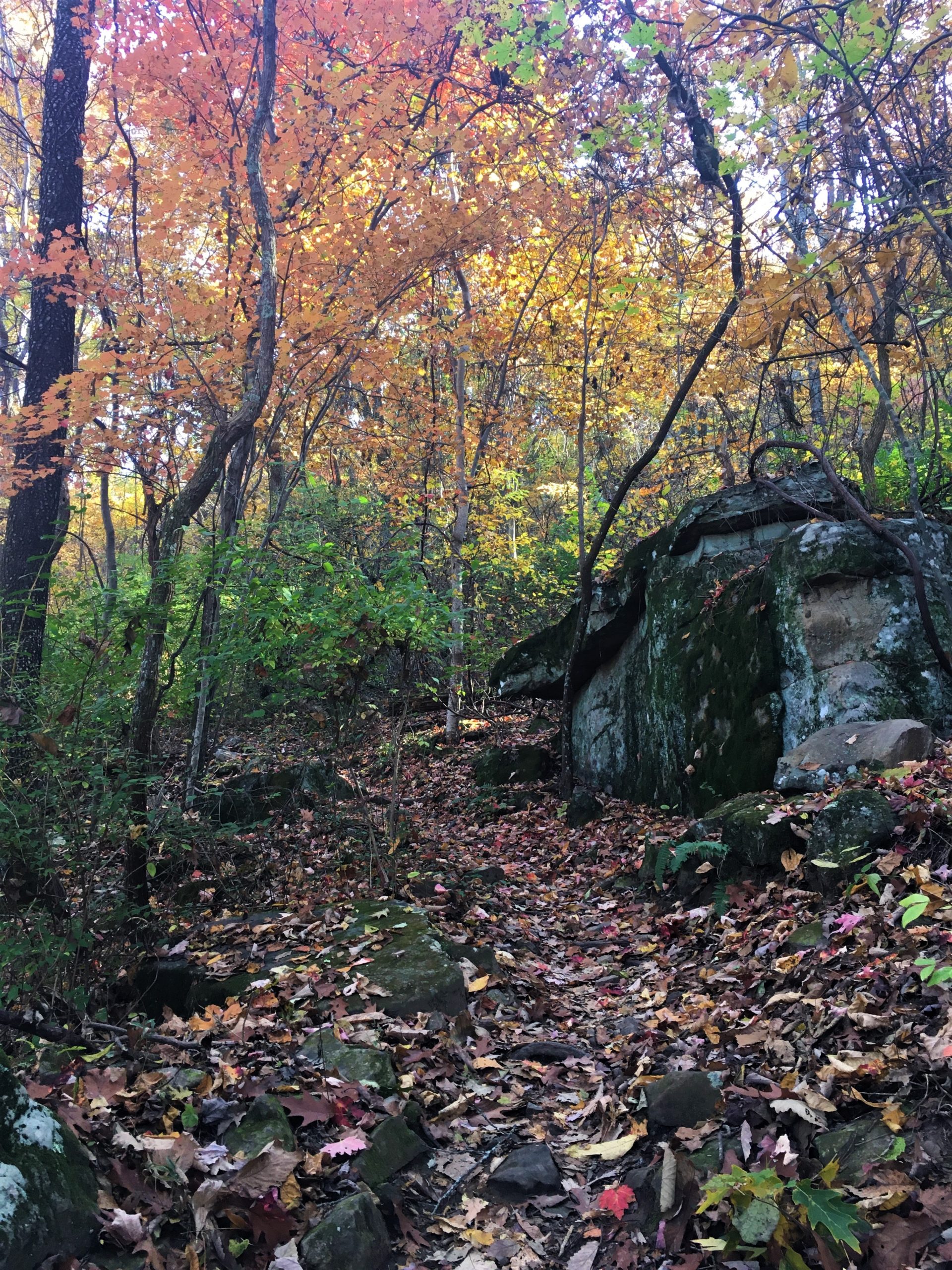
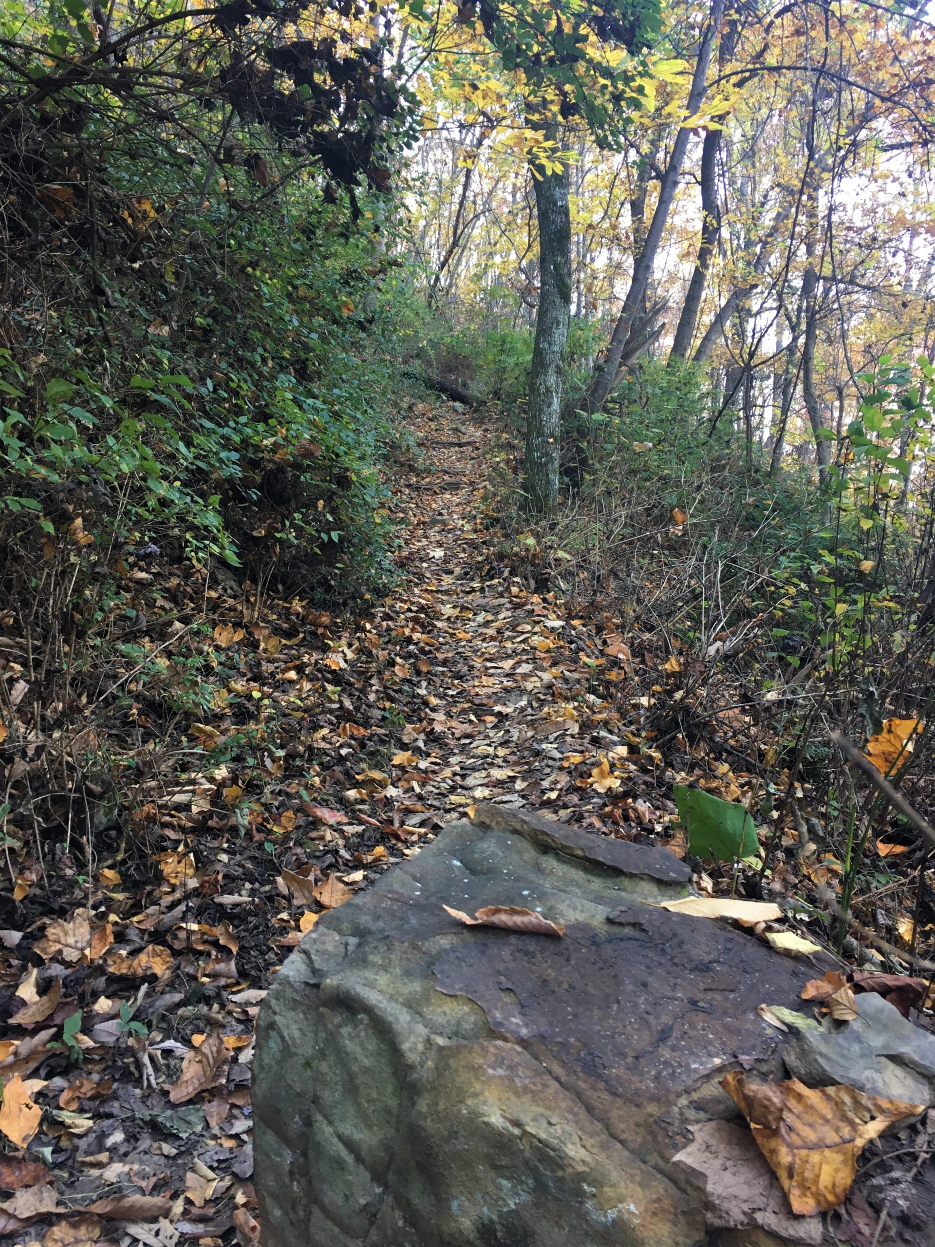
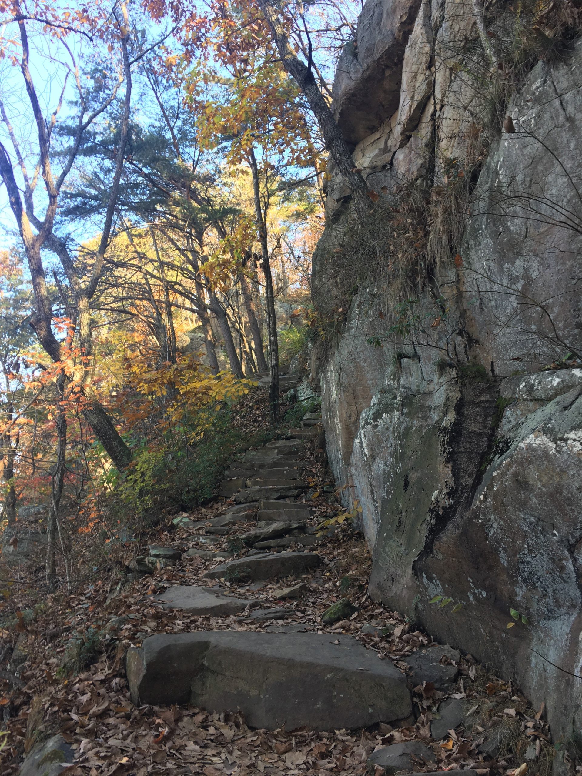
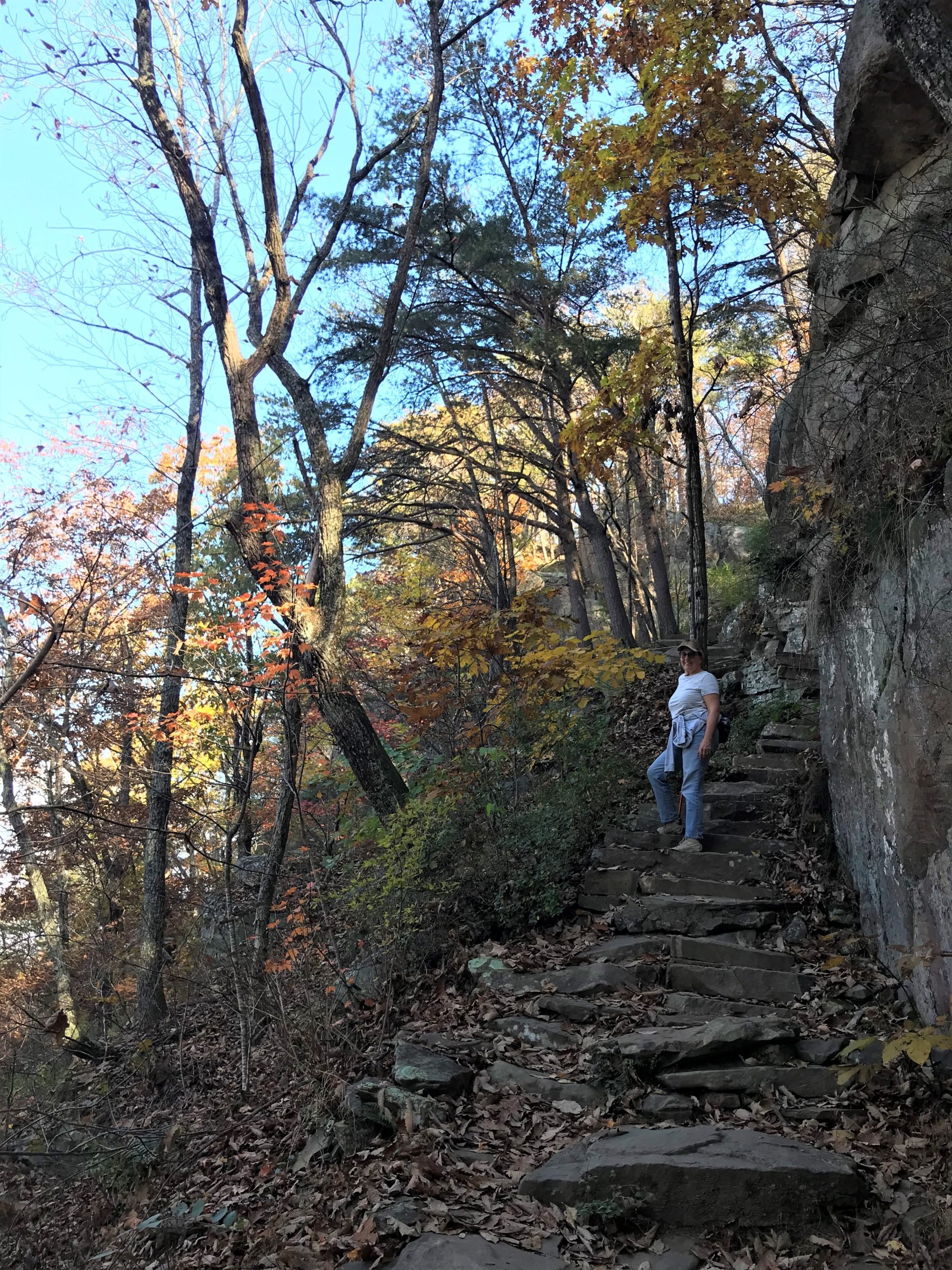
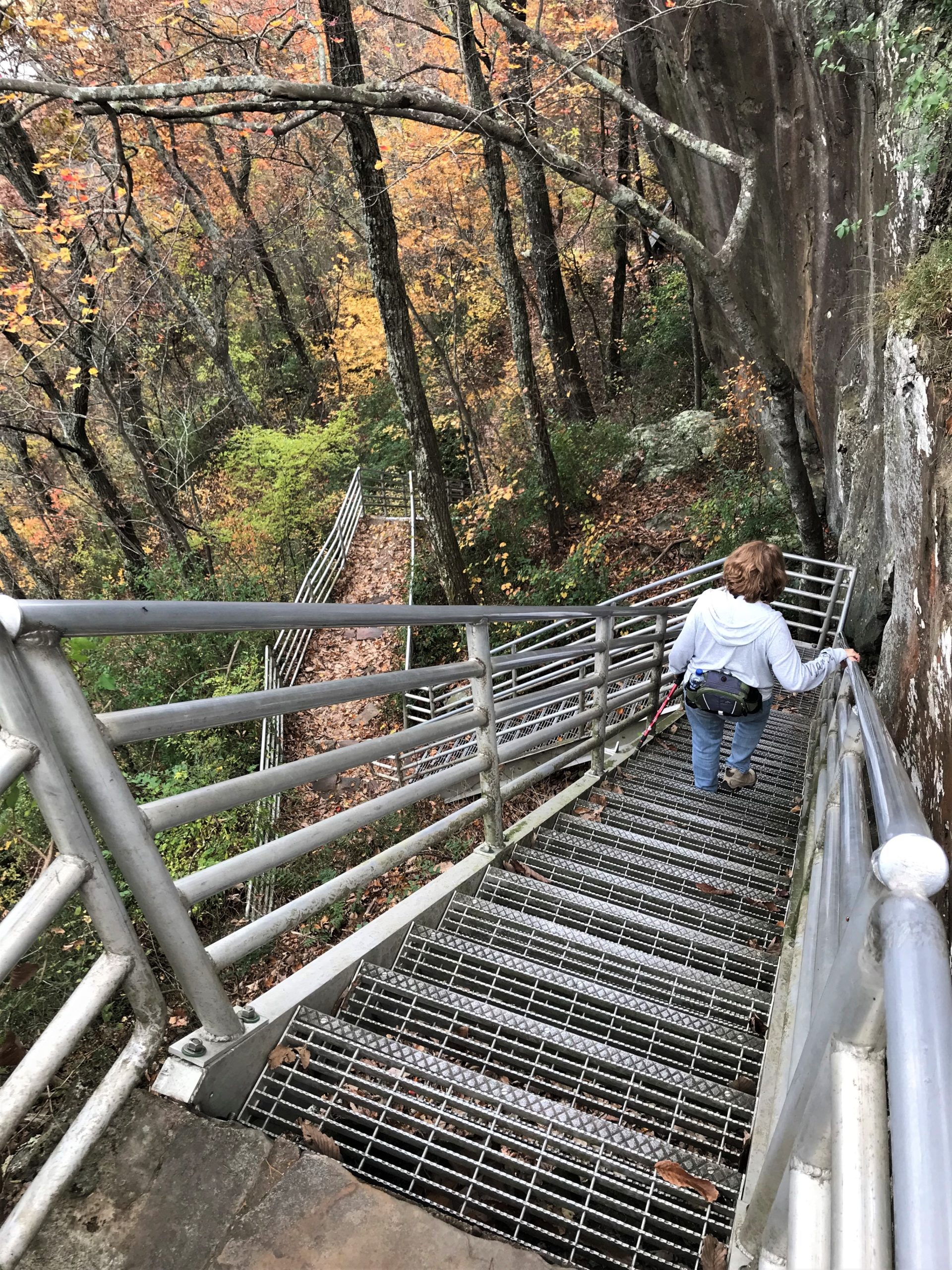
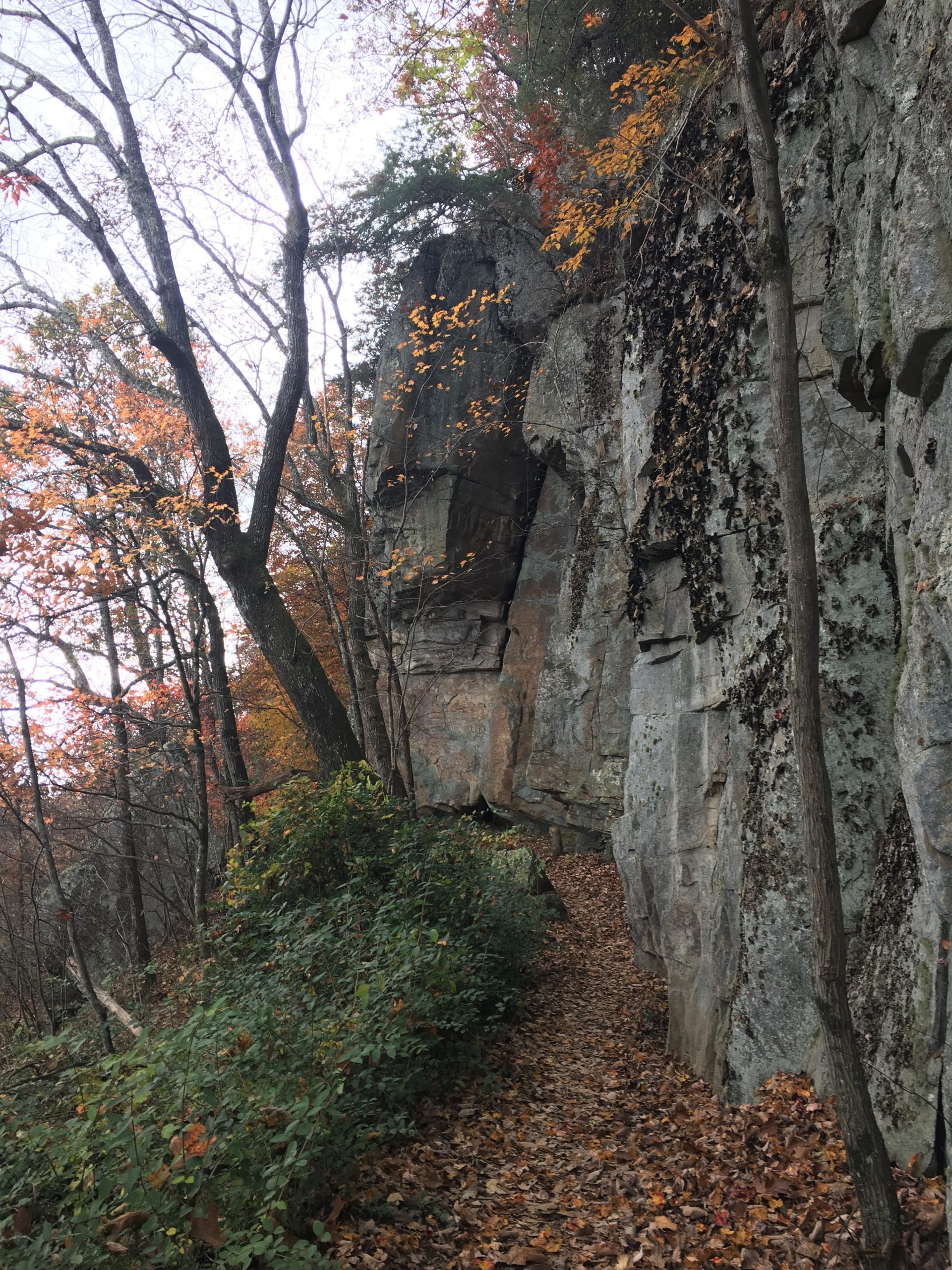
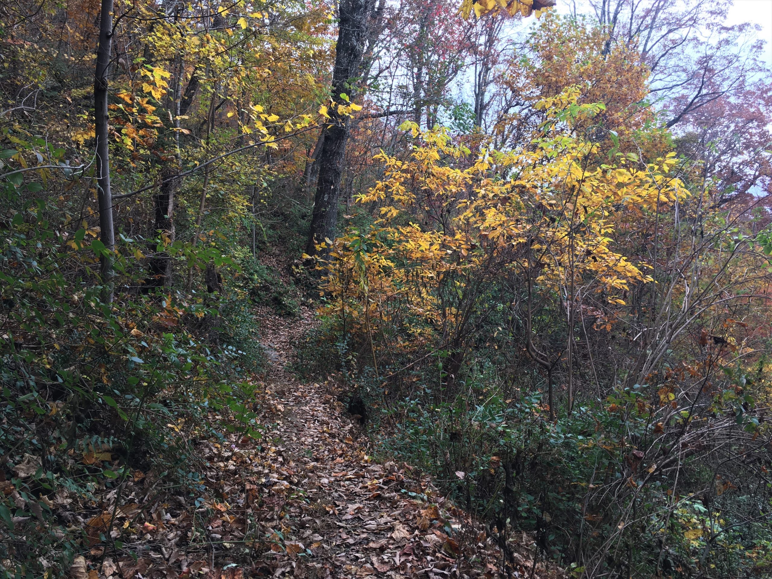
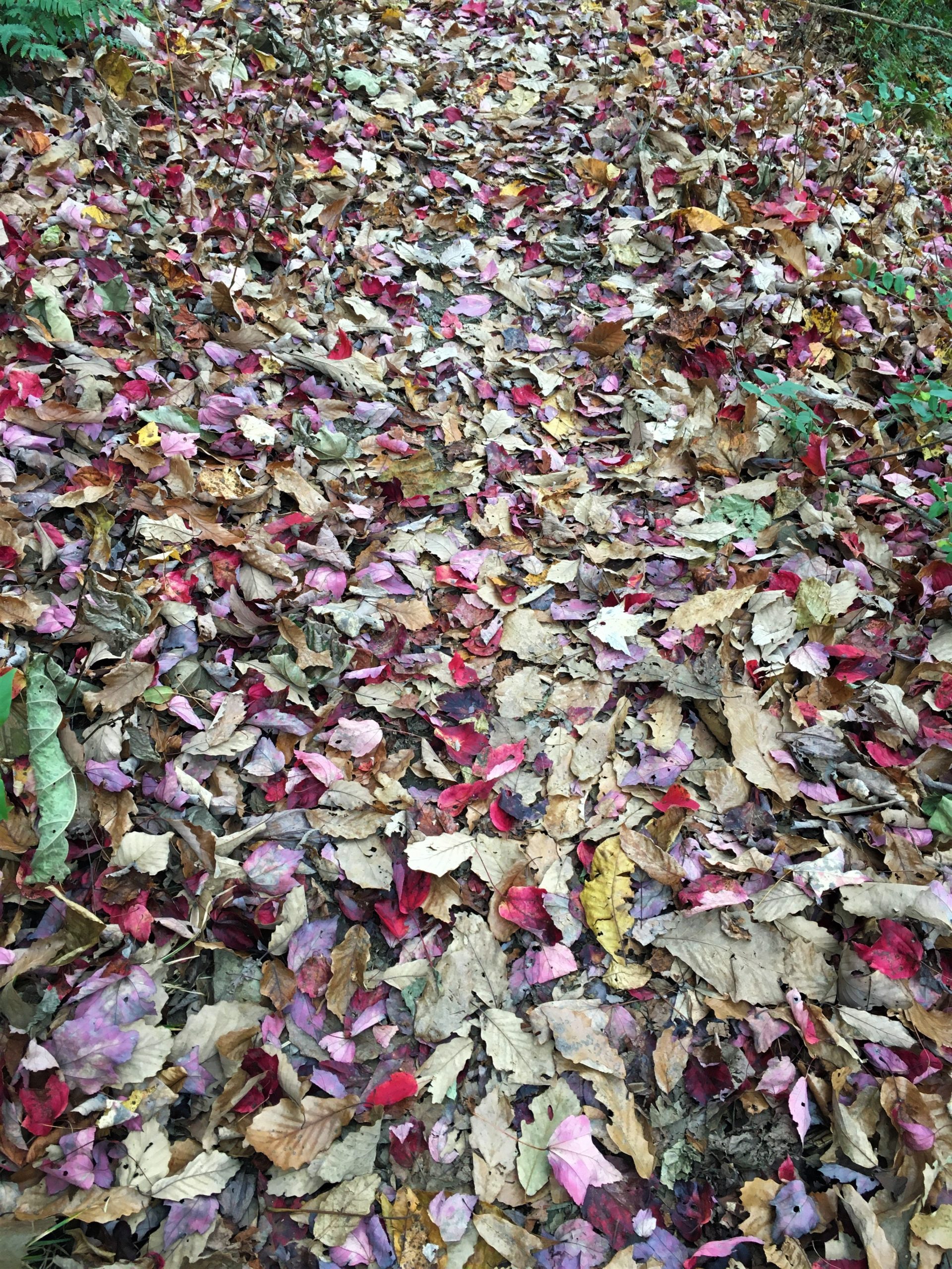
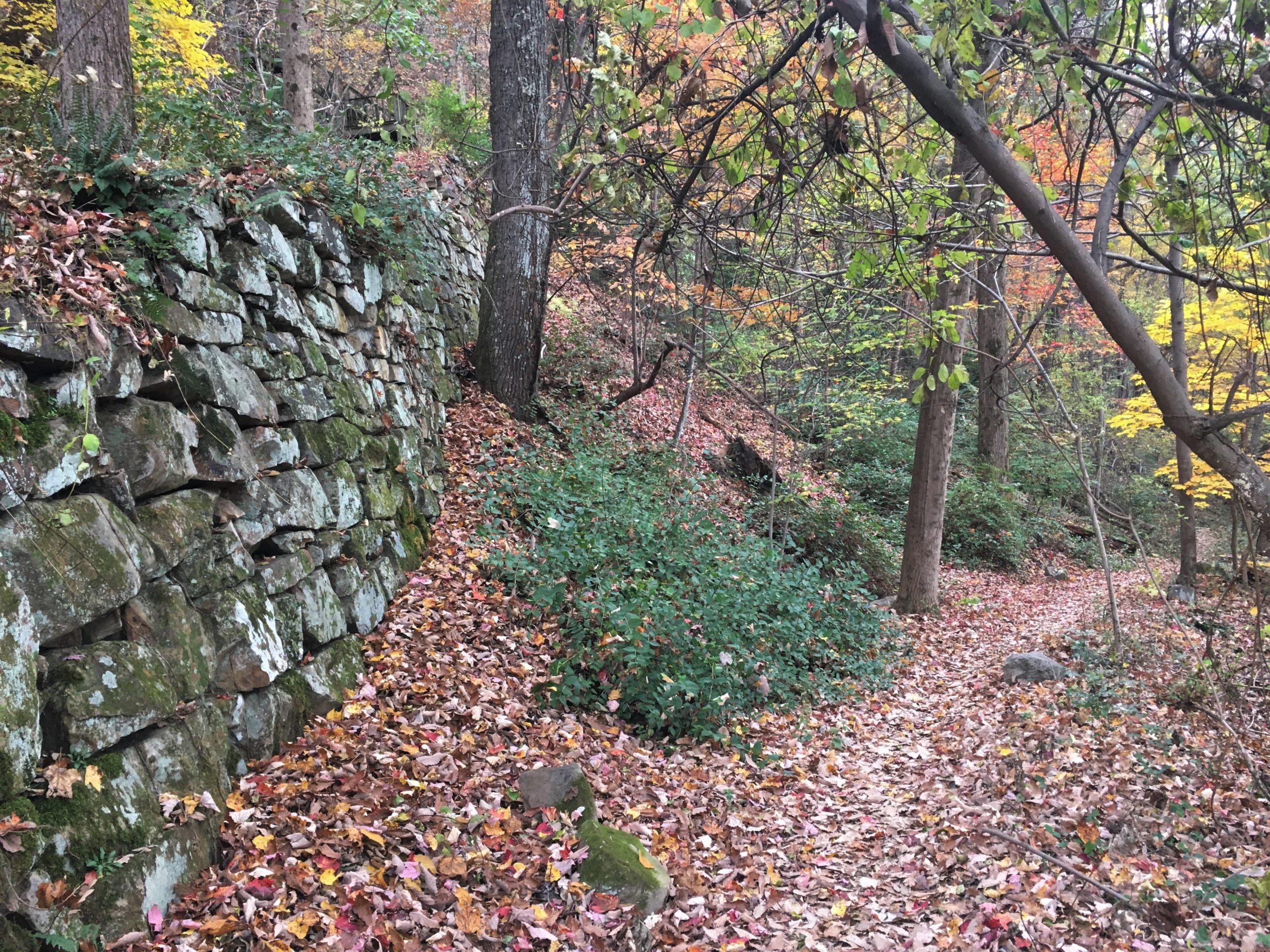
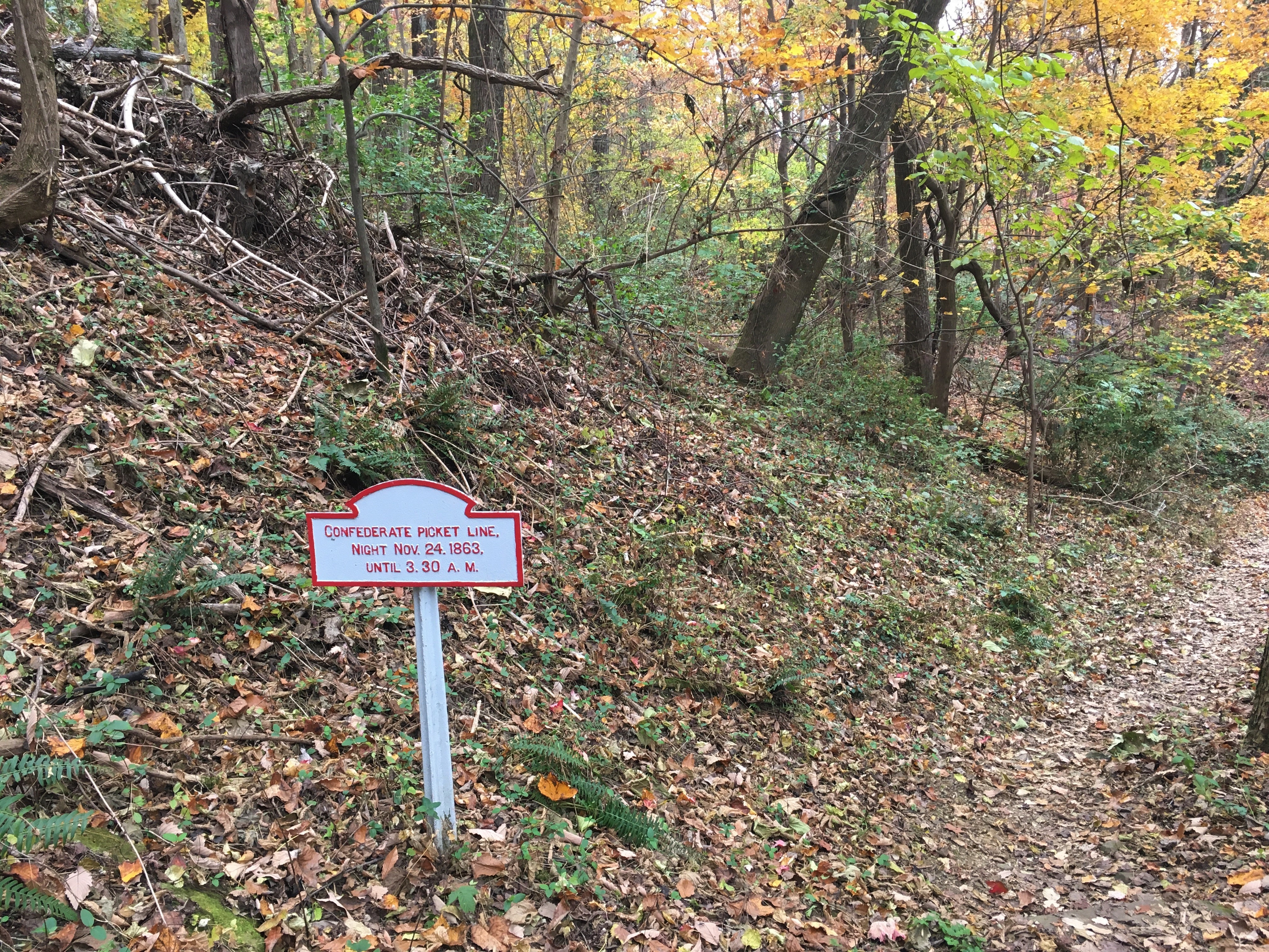
You may remember that we were here before, but this time we took a bit of a different path – Rifle Pits Trail. It was more difficult than it should’ve been. The trail was nearly all downhill (Why? We were supposed to be climbing to the top!), there were rolling rocks under our feet that were obscured by several layers of leaves. It made for slow going, as we’d put a foot down, then roll, step after step after step.
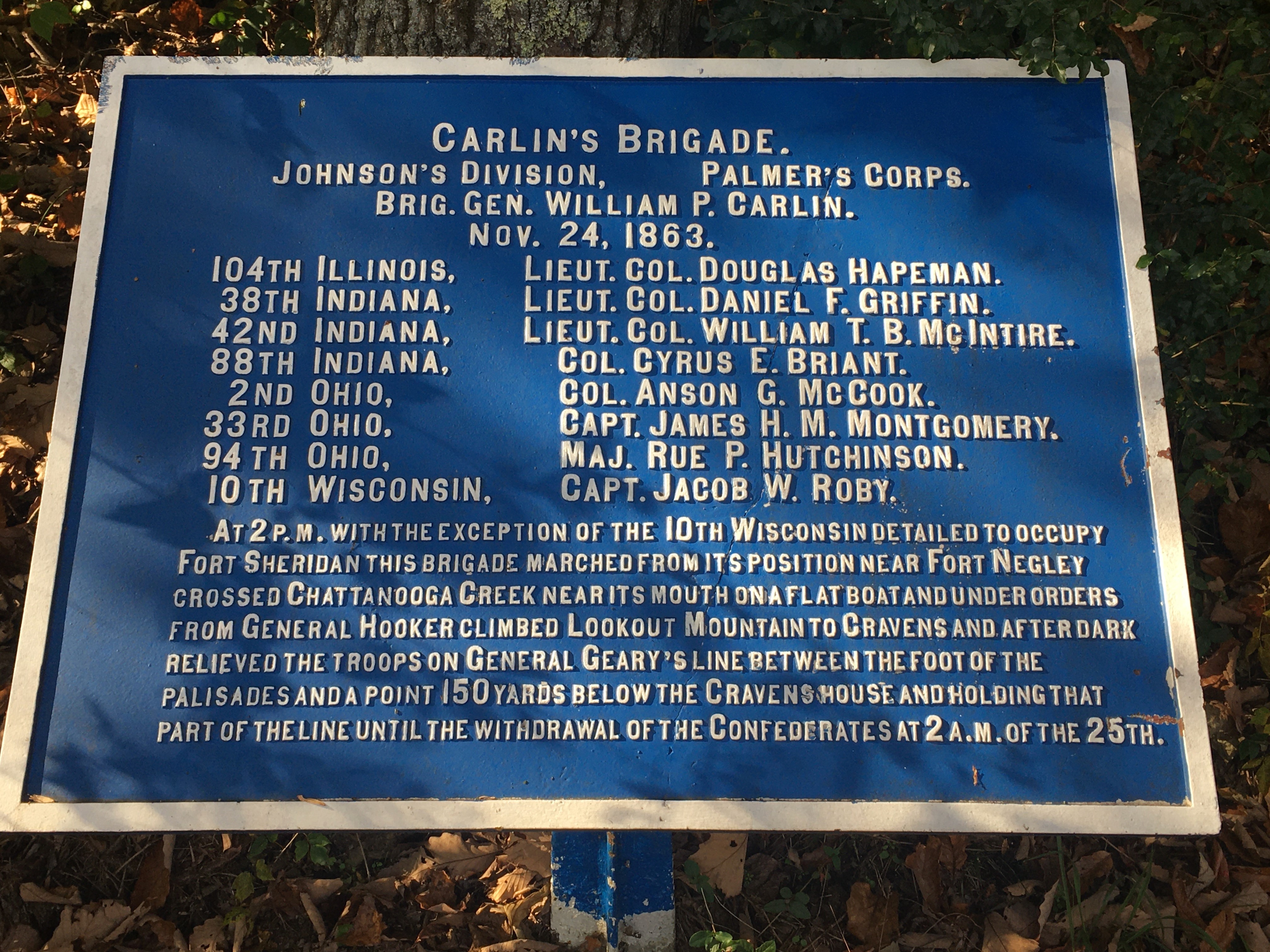

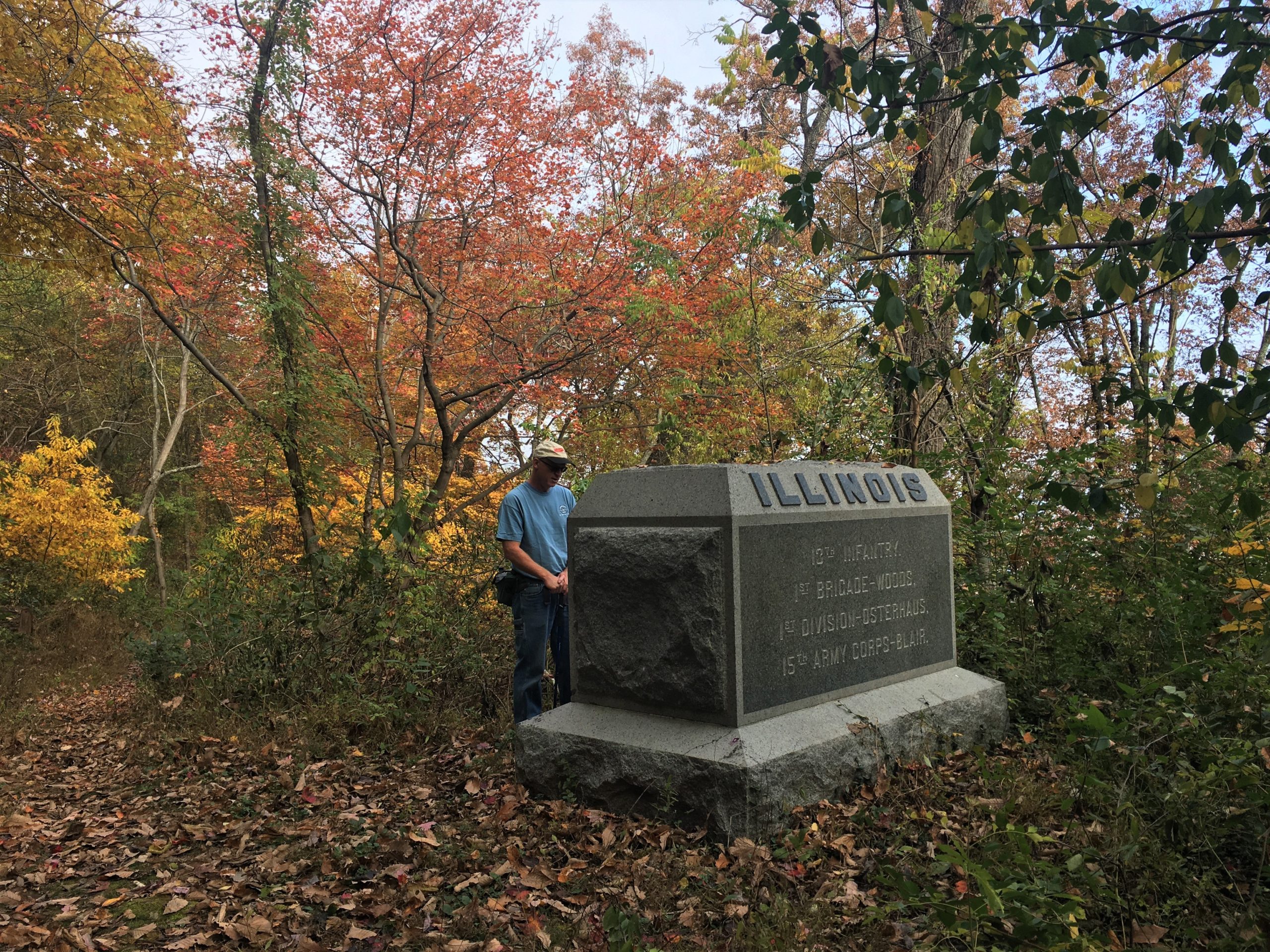
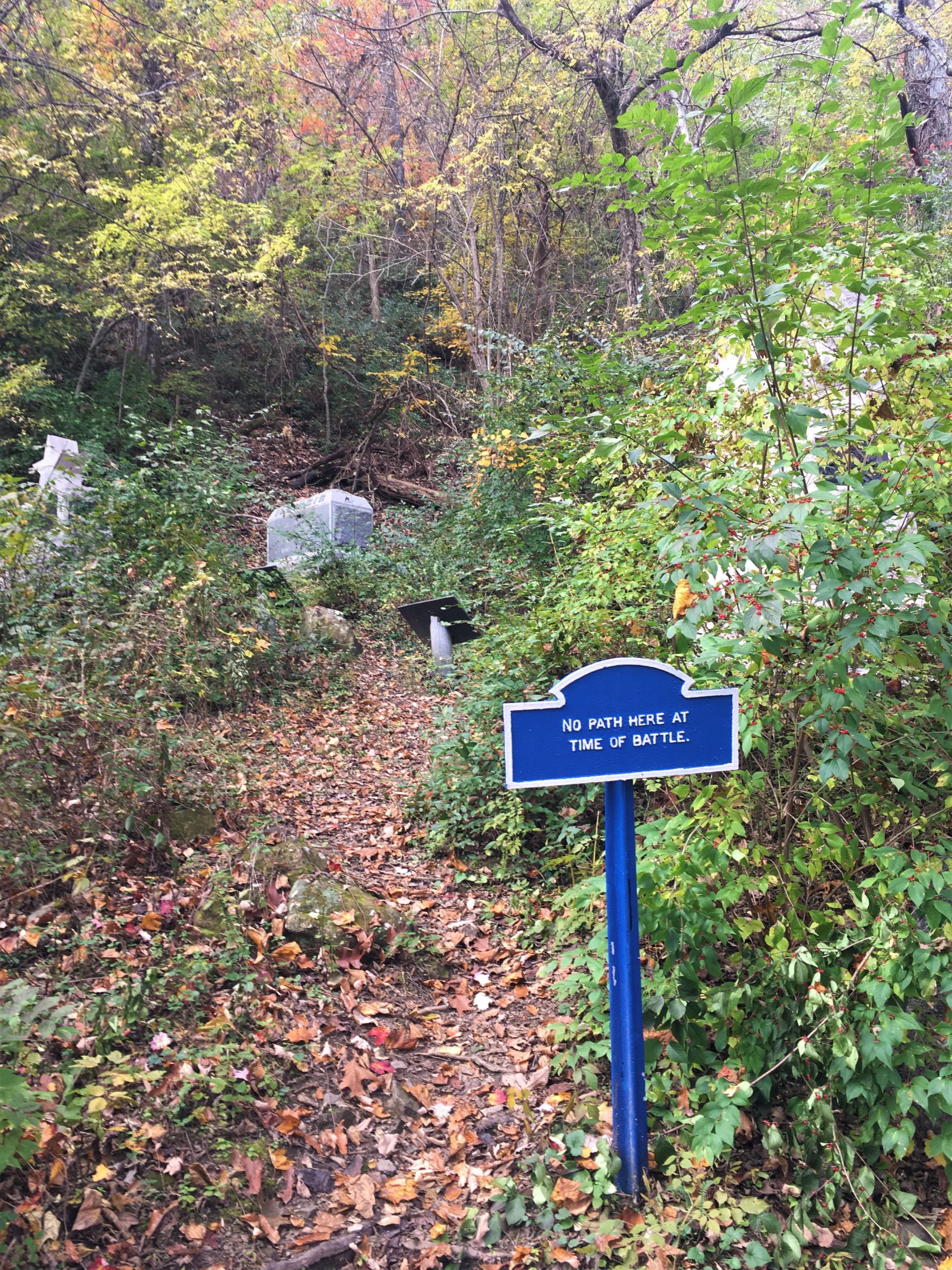
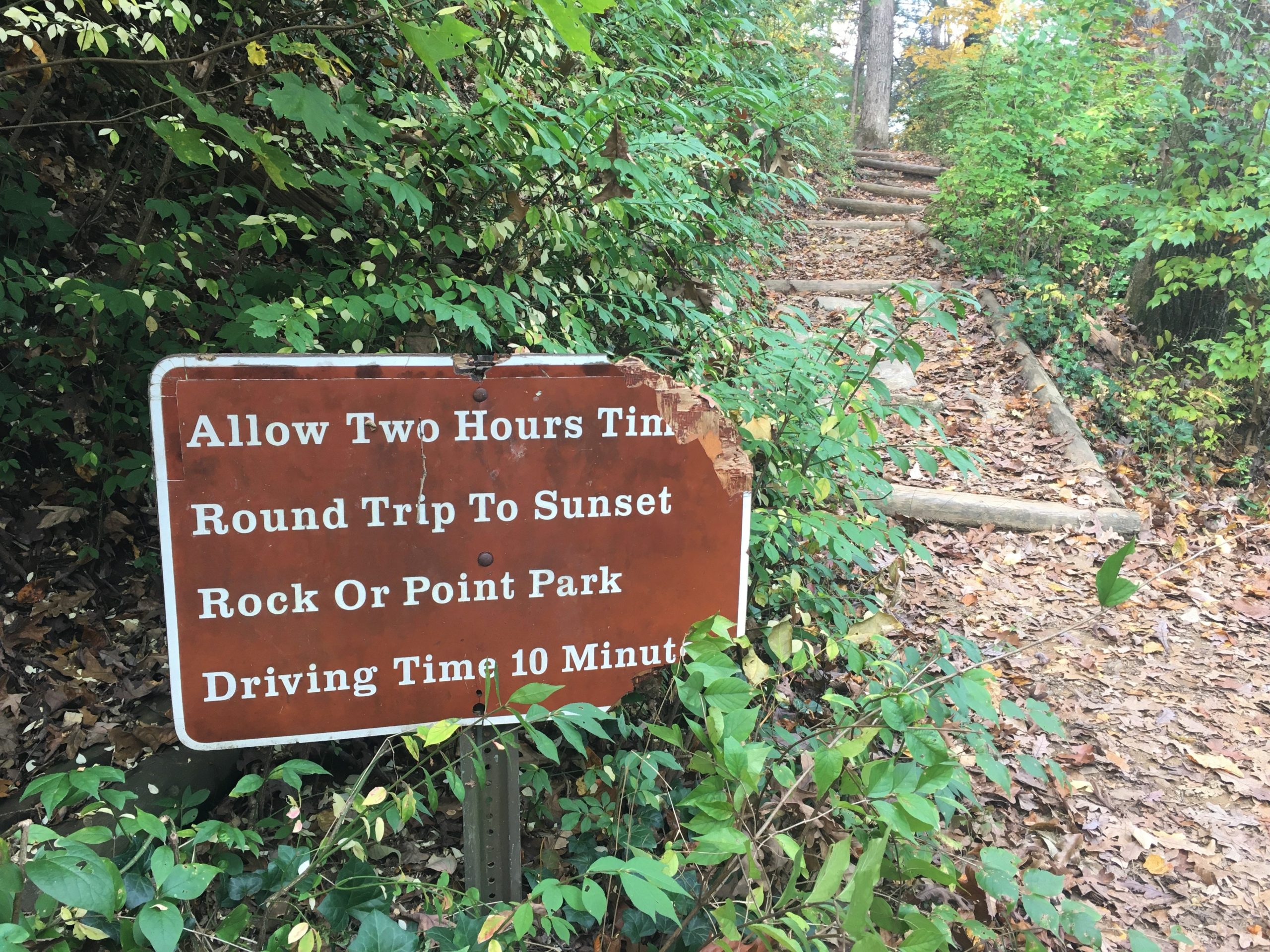
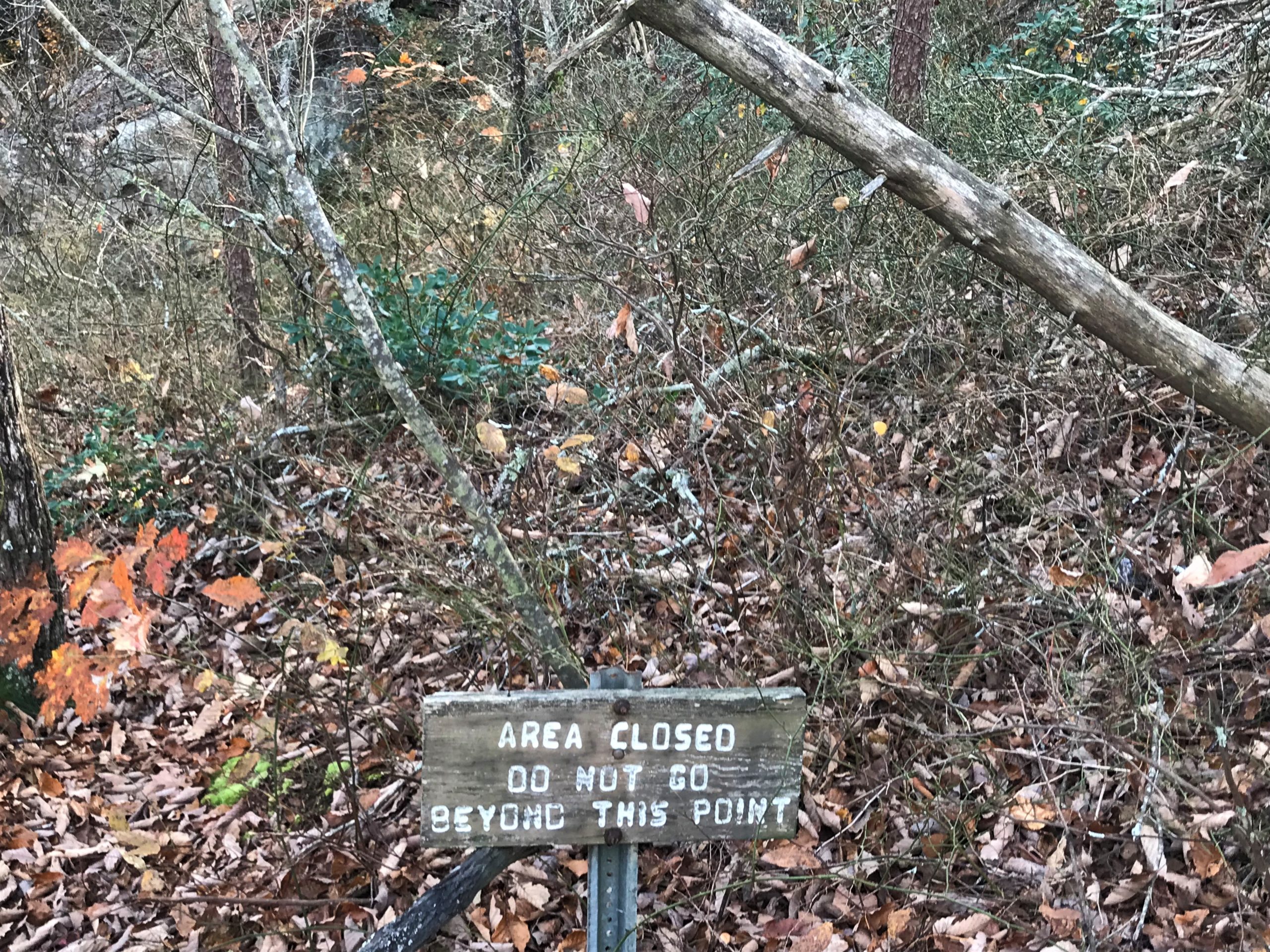
Don’t know why they felt the need to put it up.
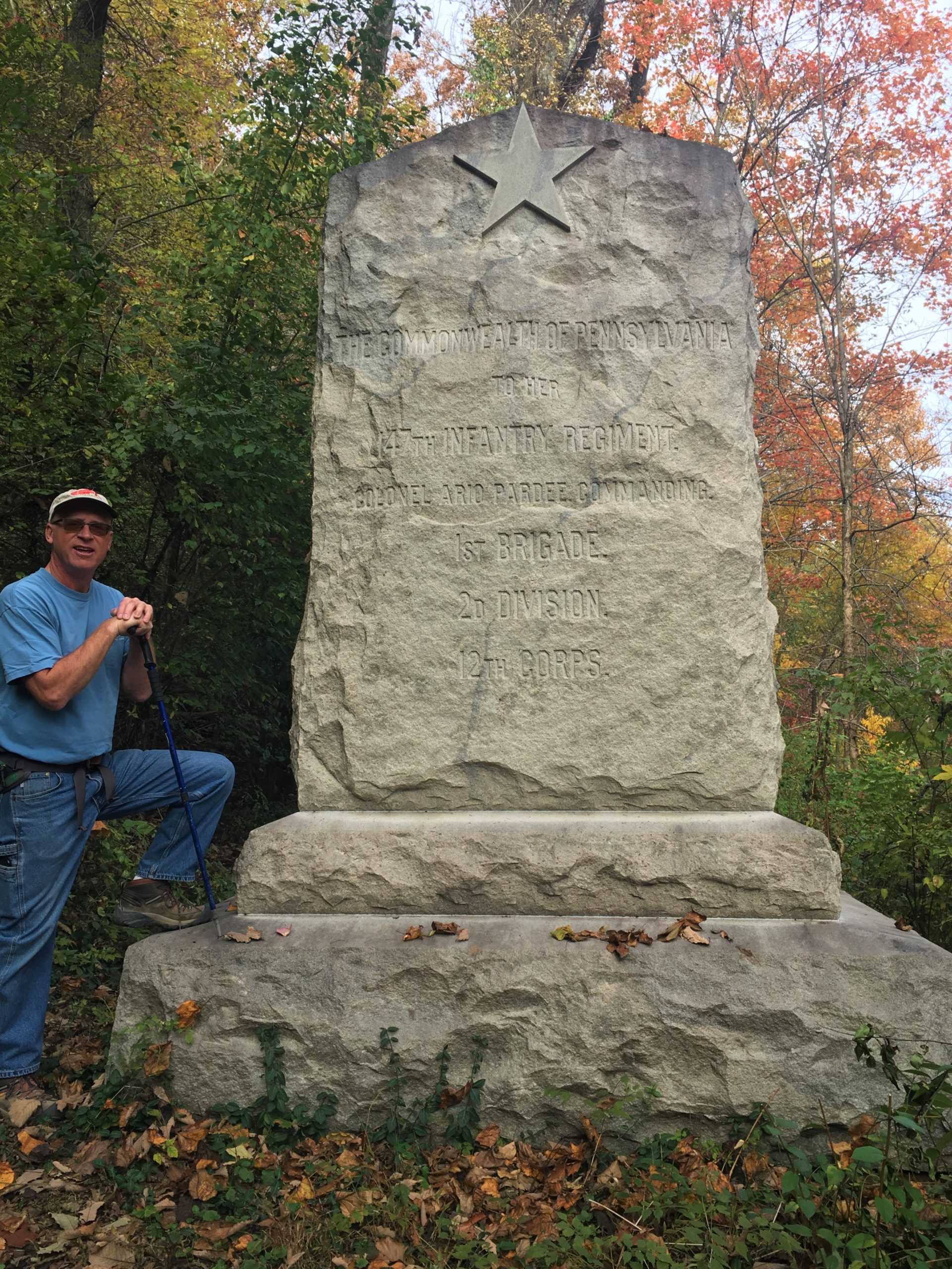
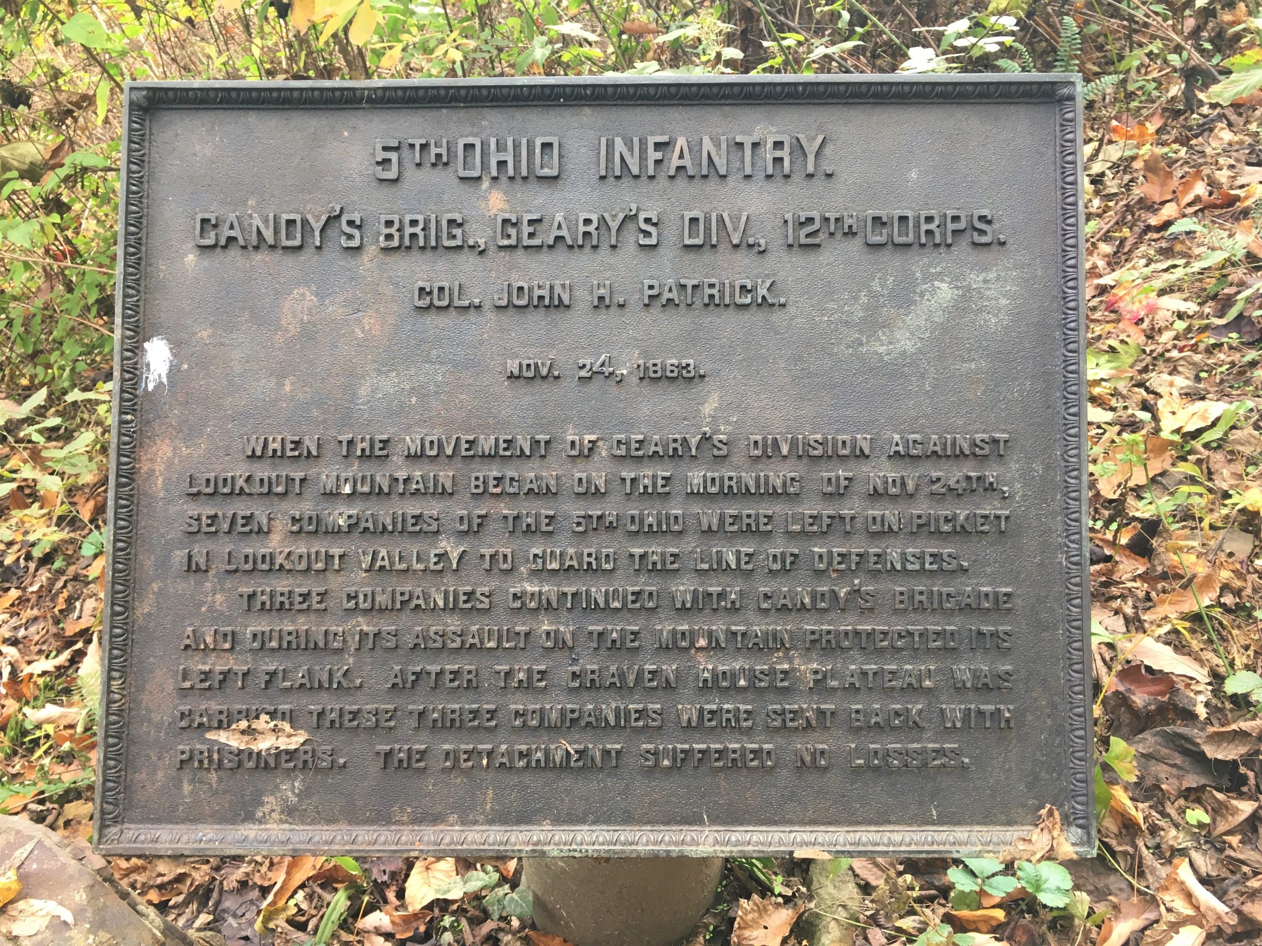
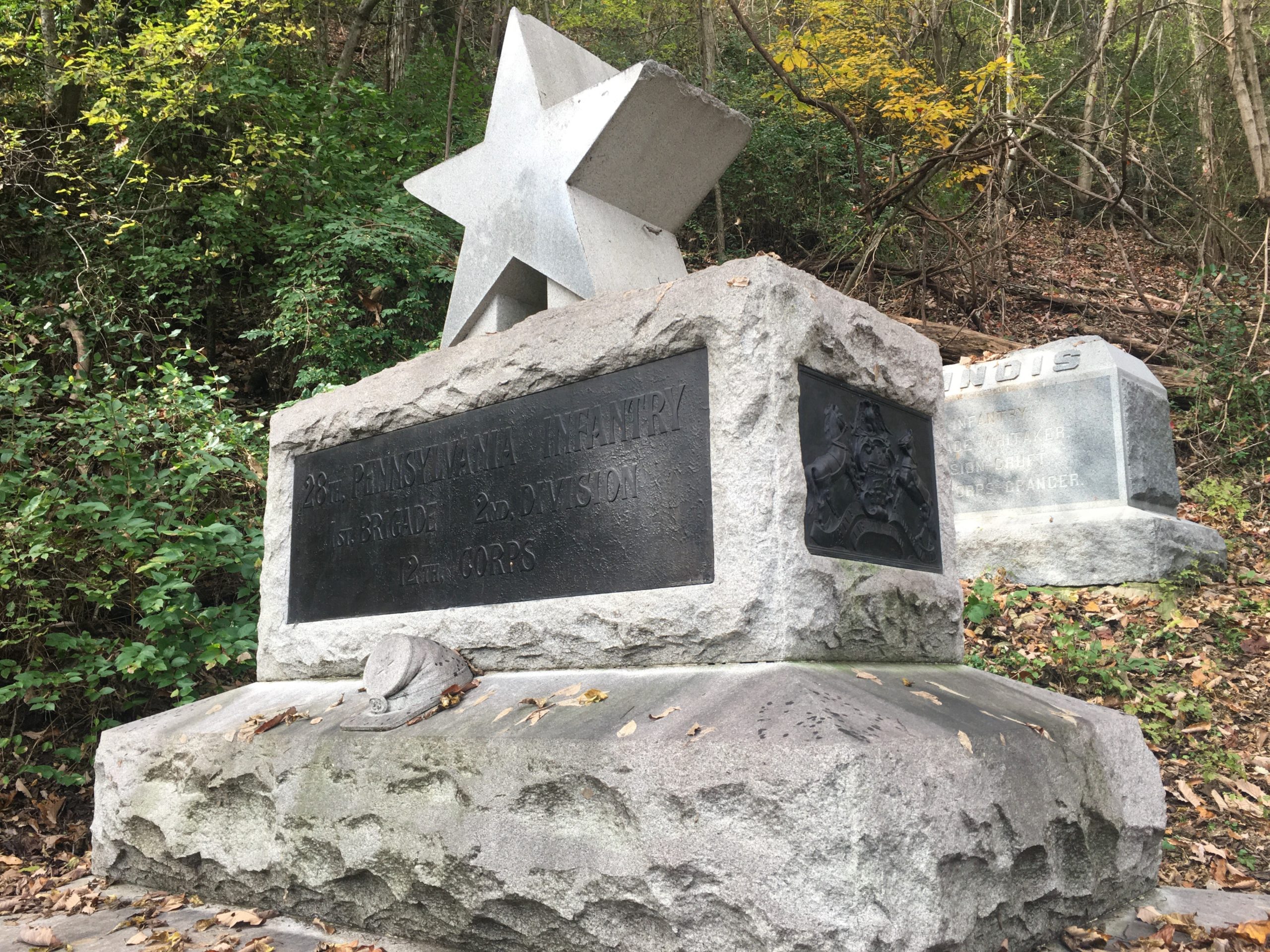
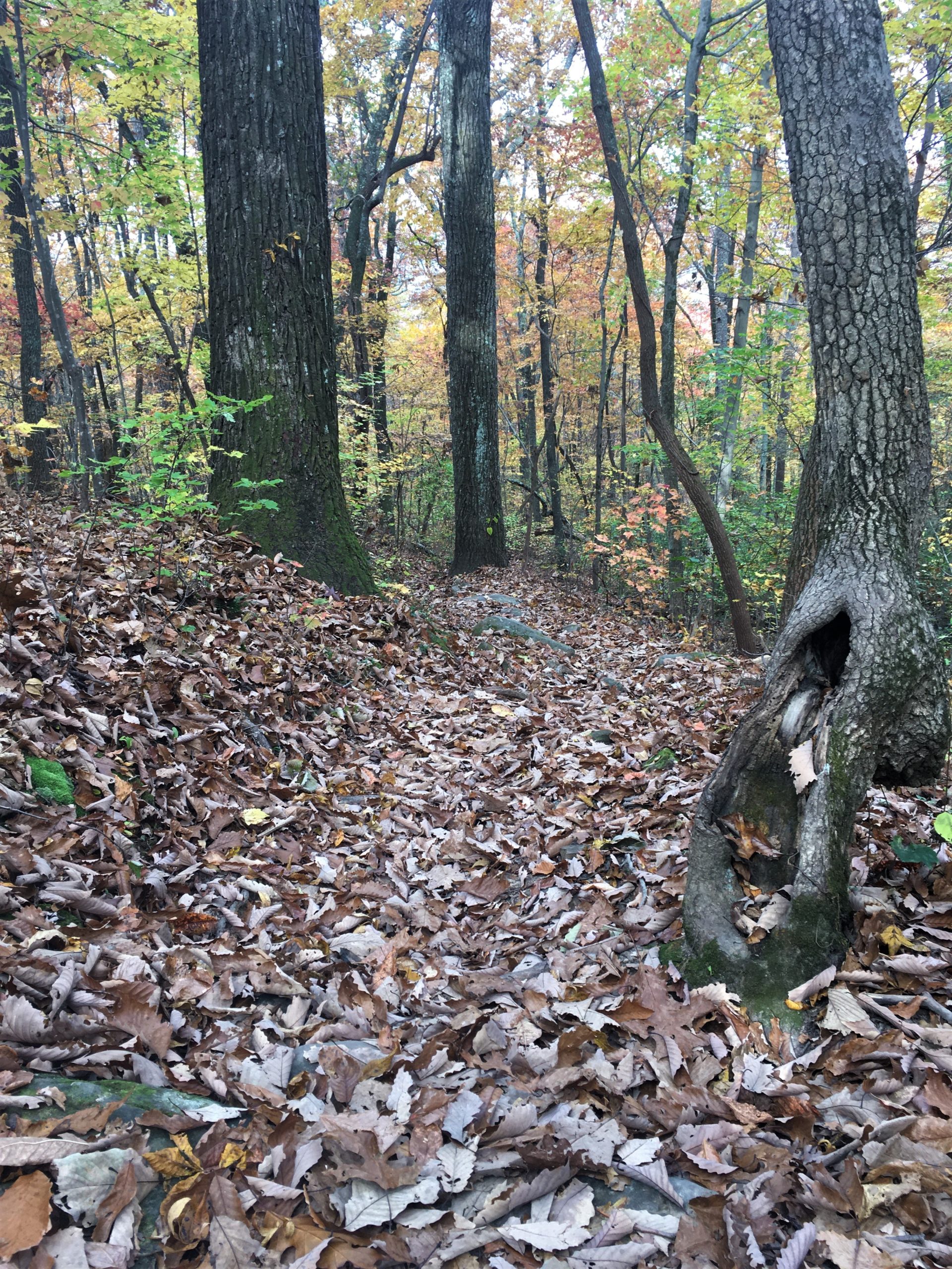
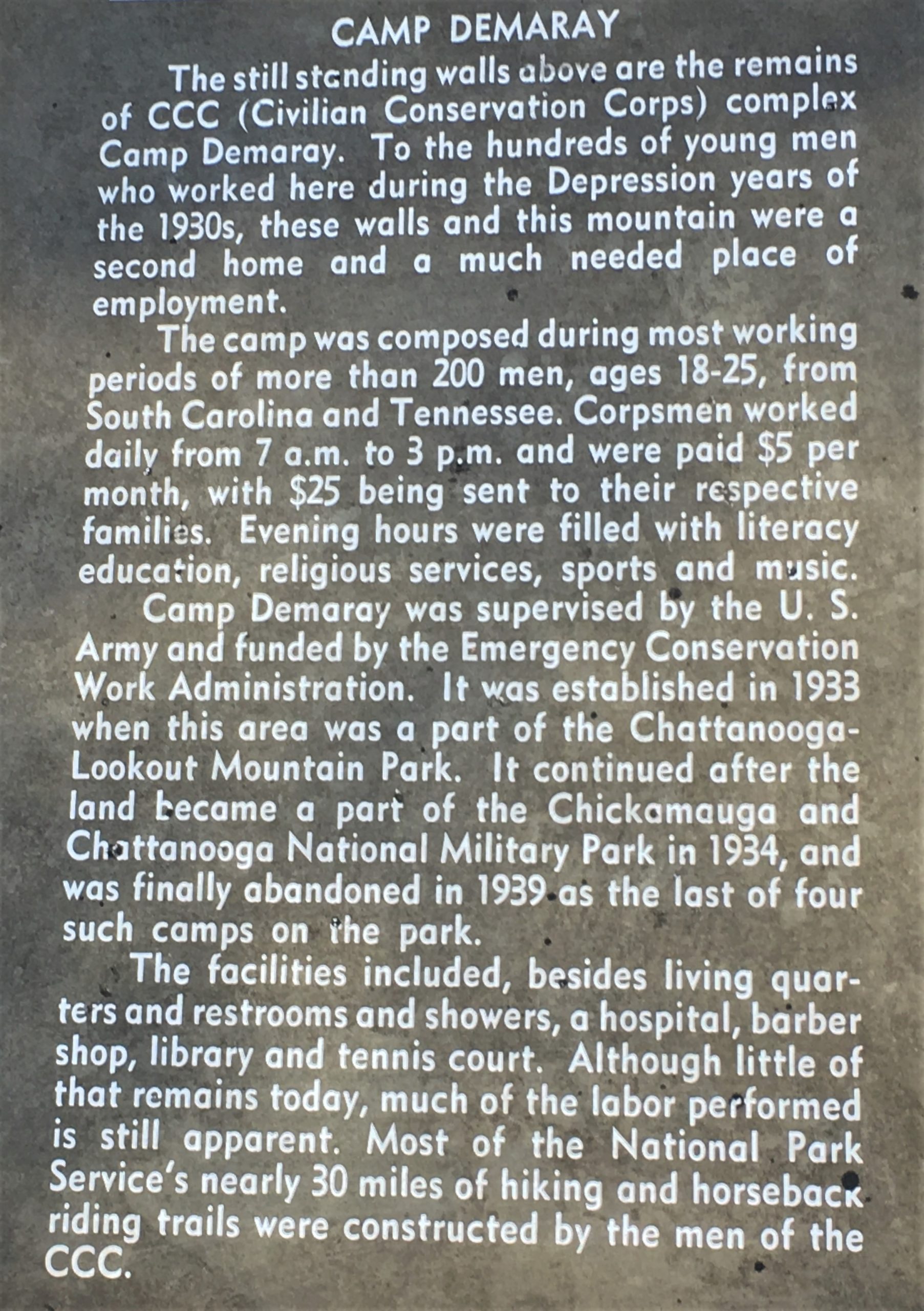
Eventually, we got to a connecting trail that took us up to Sunset Rock, and our lunch spot. It was quite cool up there, and the wind was blowing pretty good. Blaine was clad in only a short-sleeved t-shirt and jeans. At least I had my thin hoody with me. We ate pretty fast today. 😊
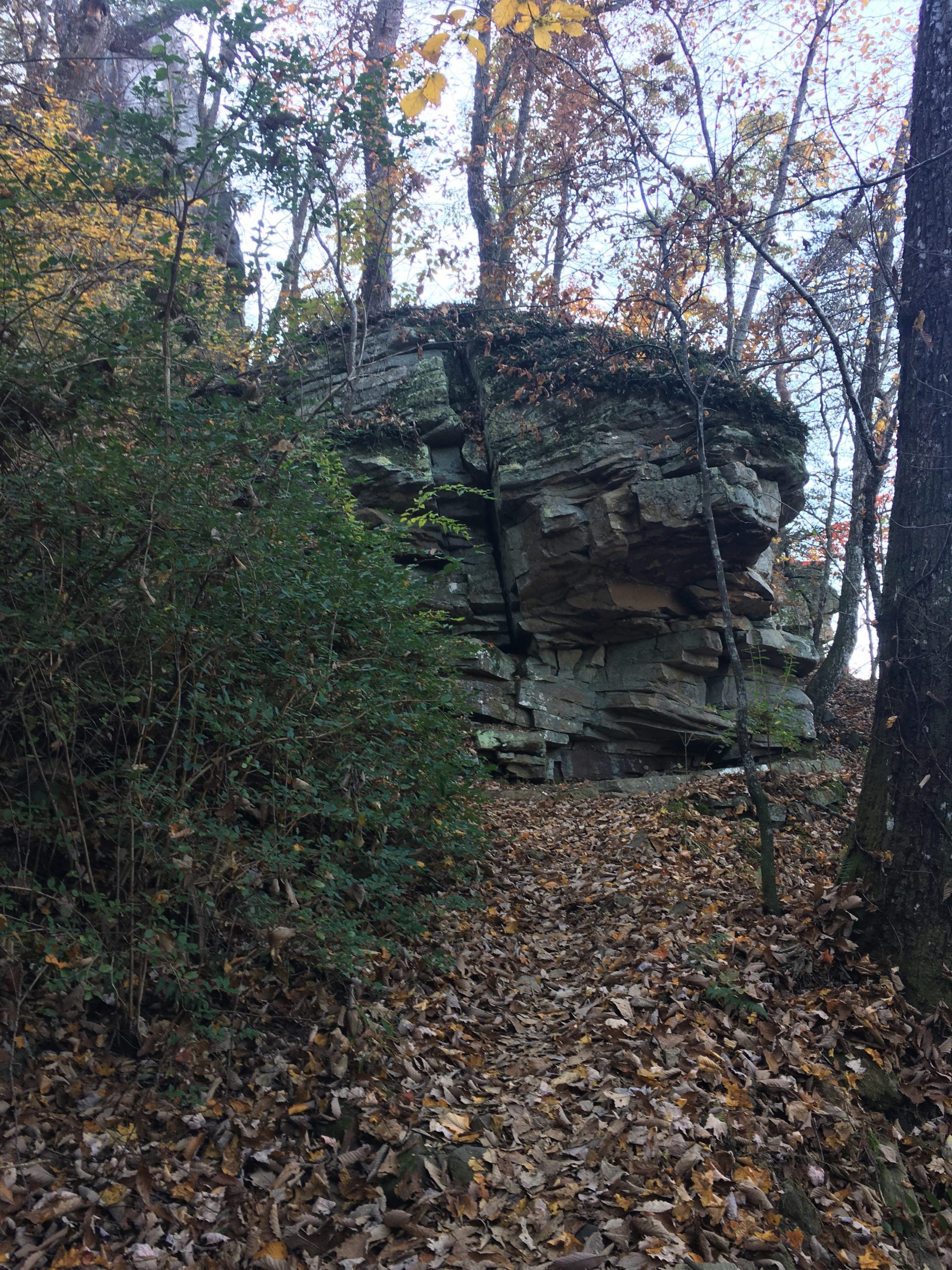
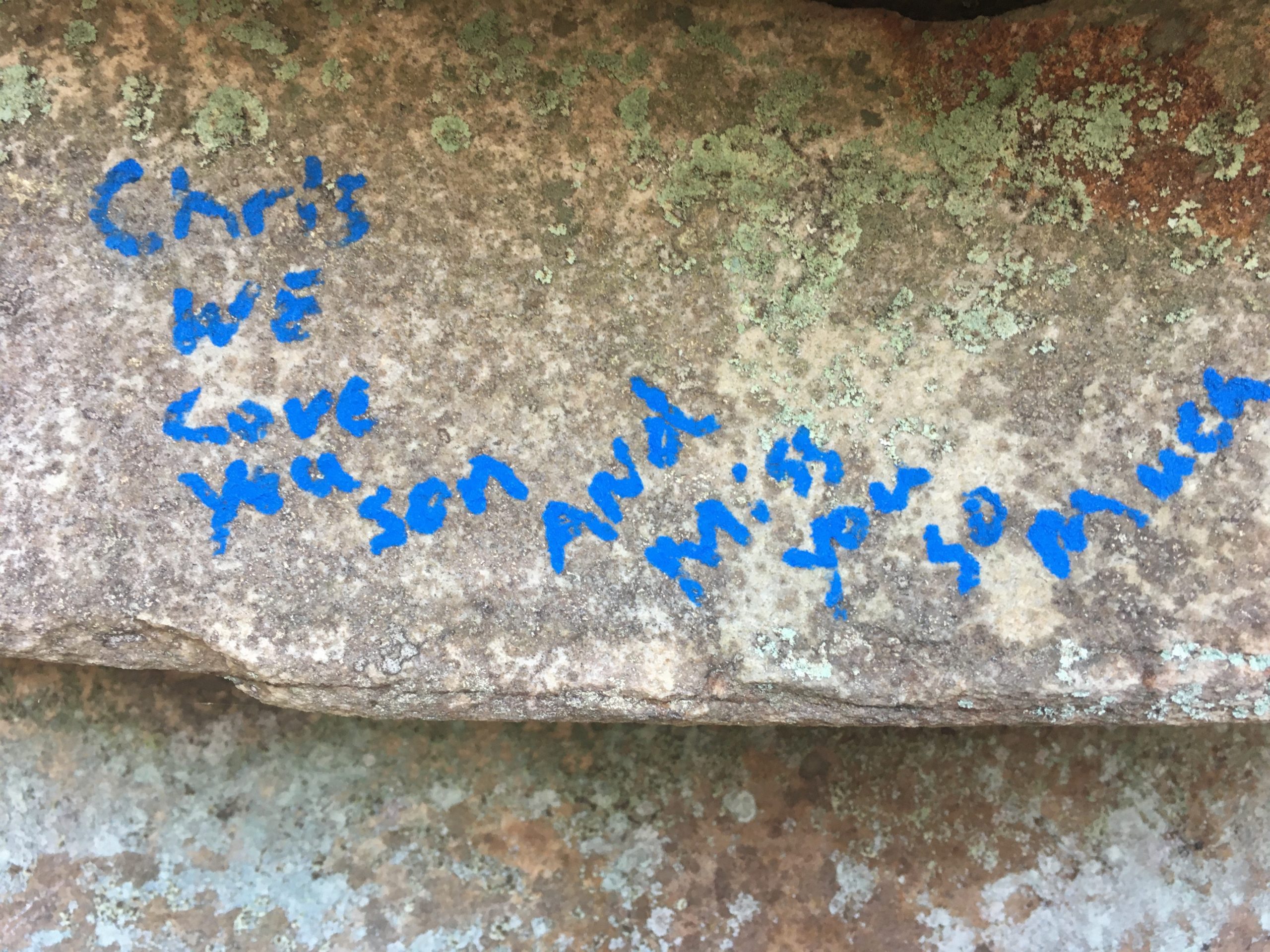
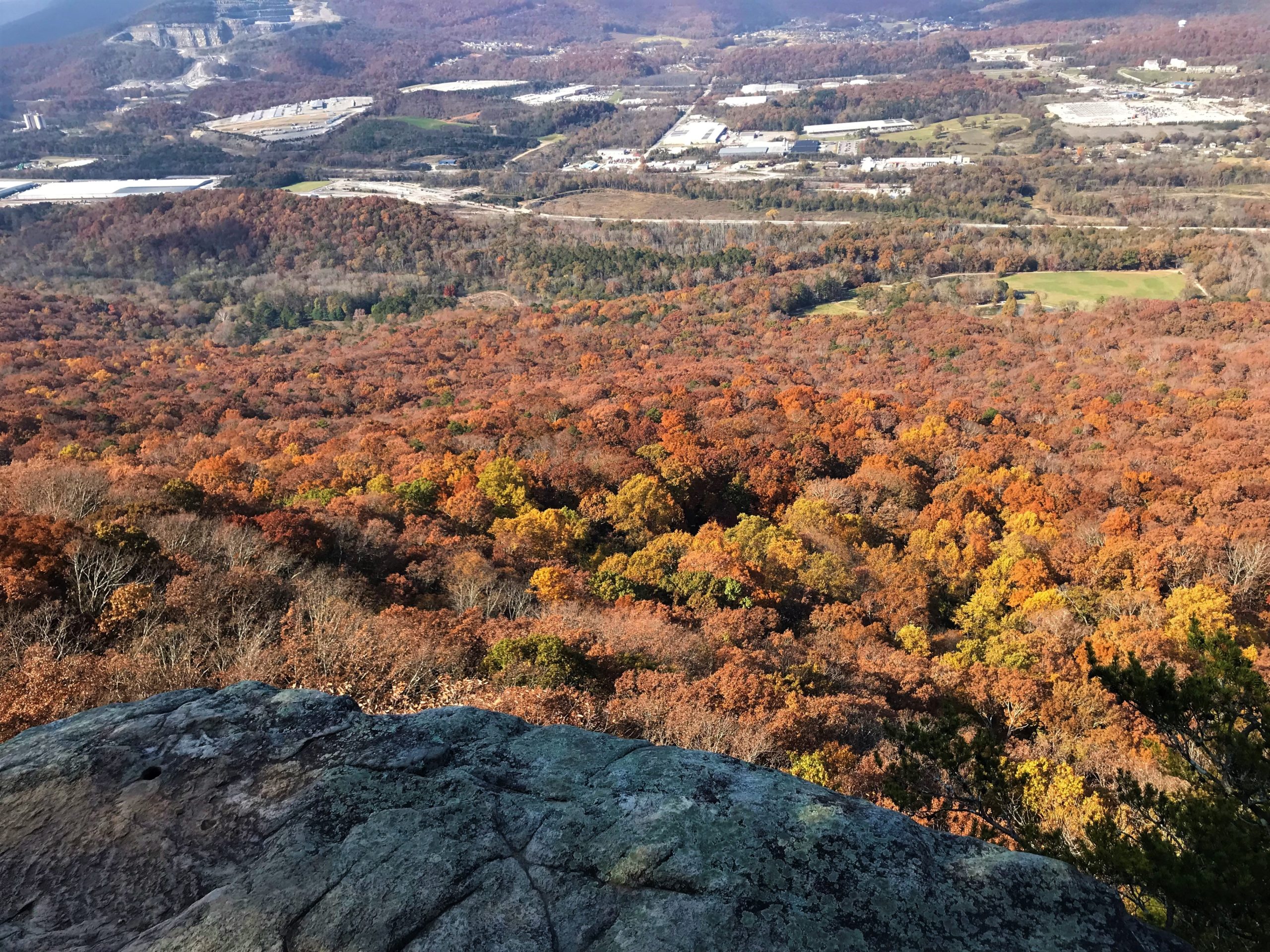
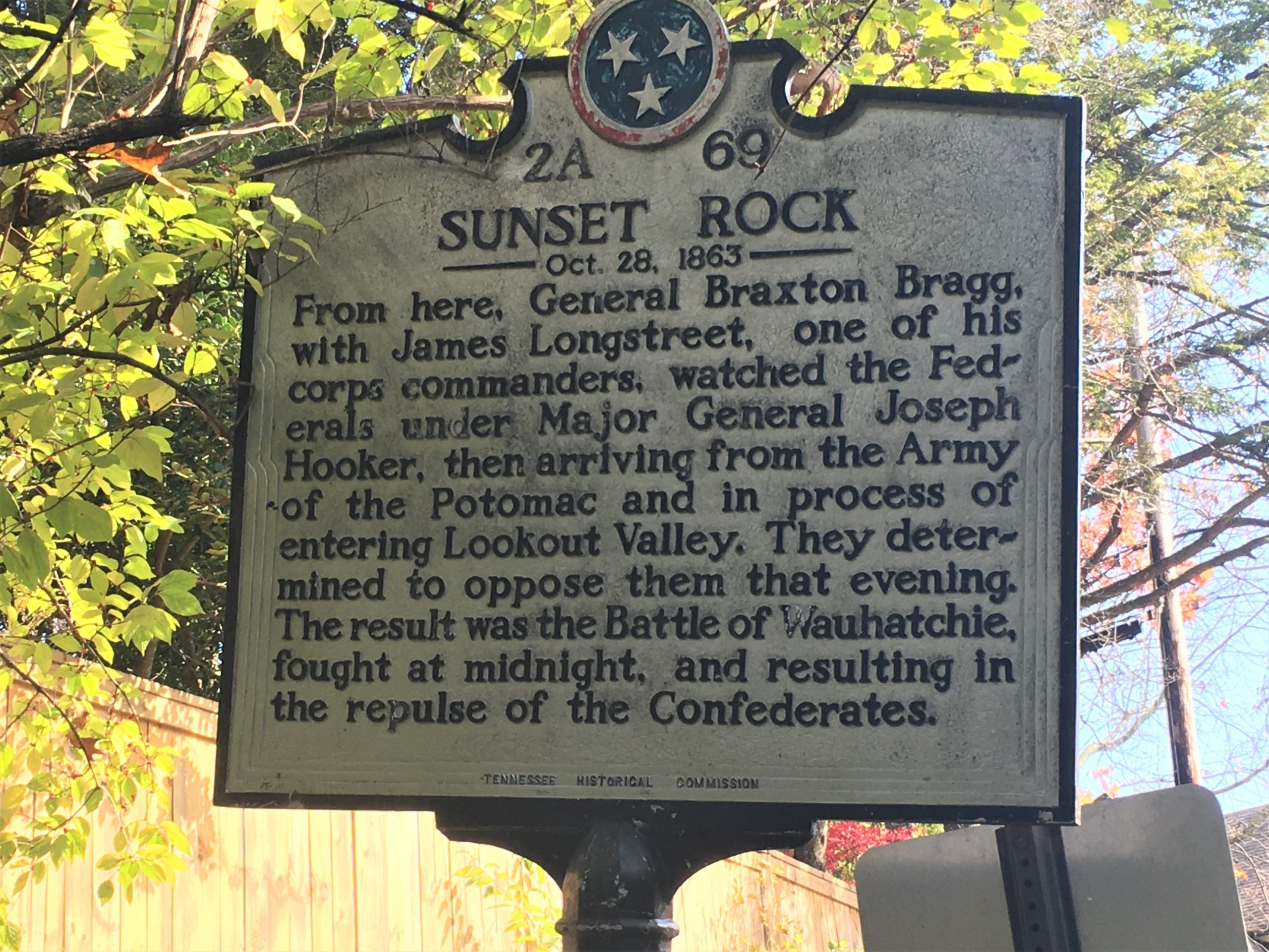
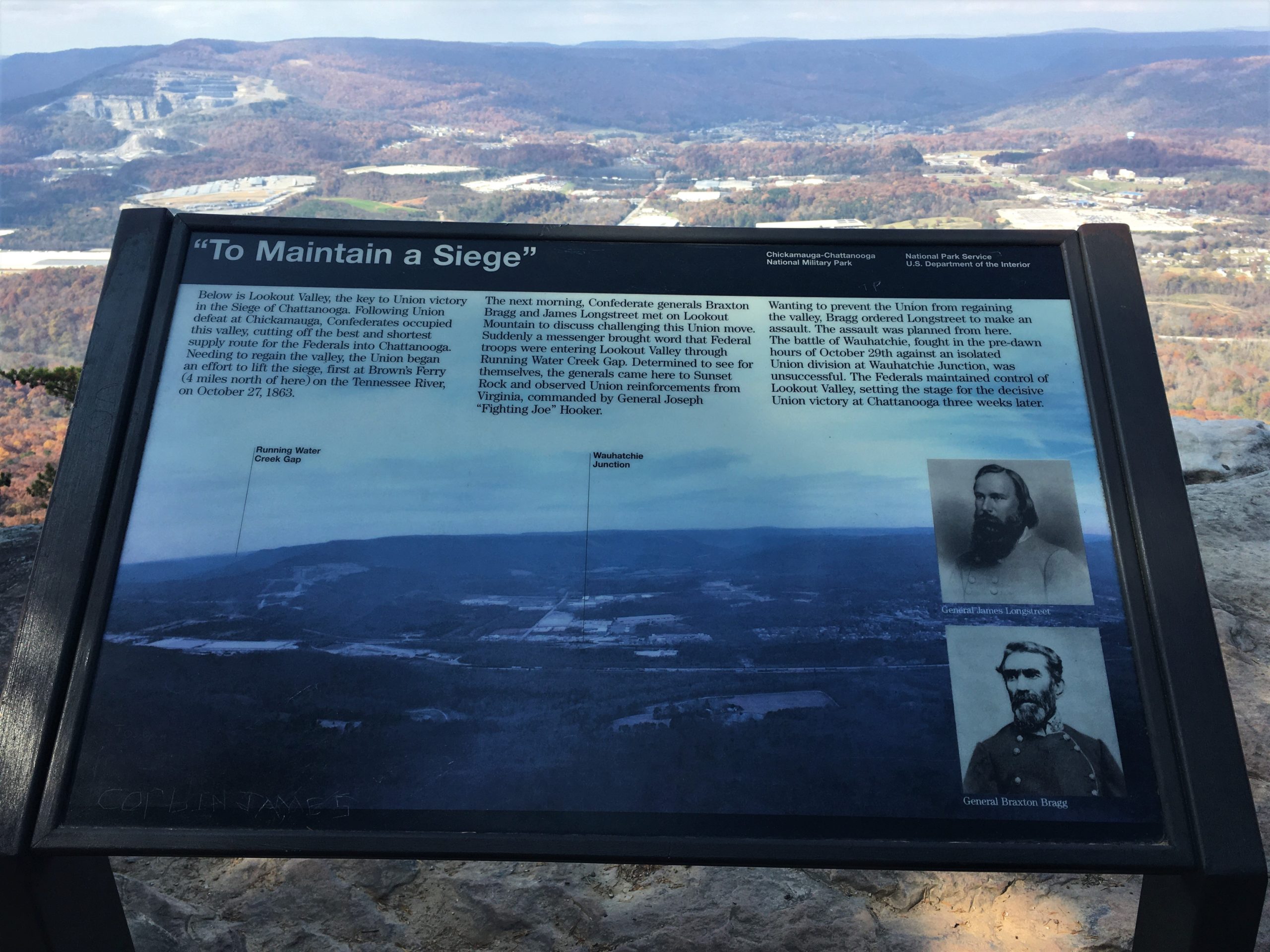
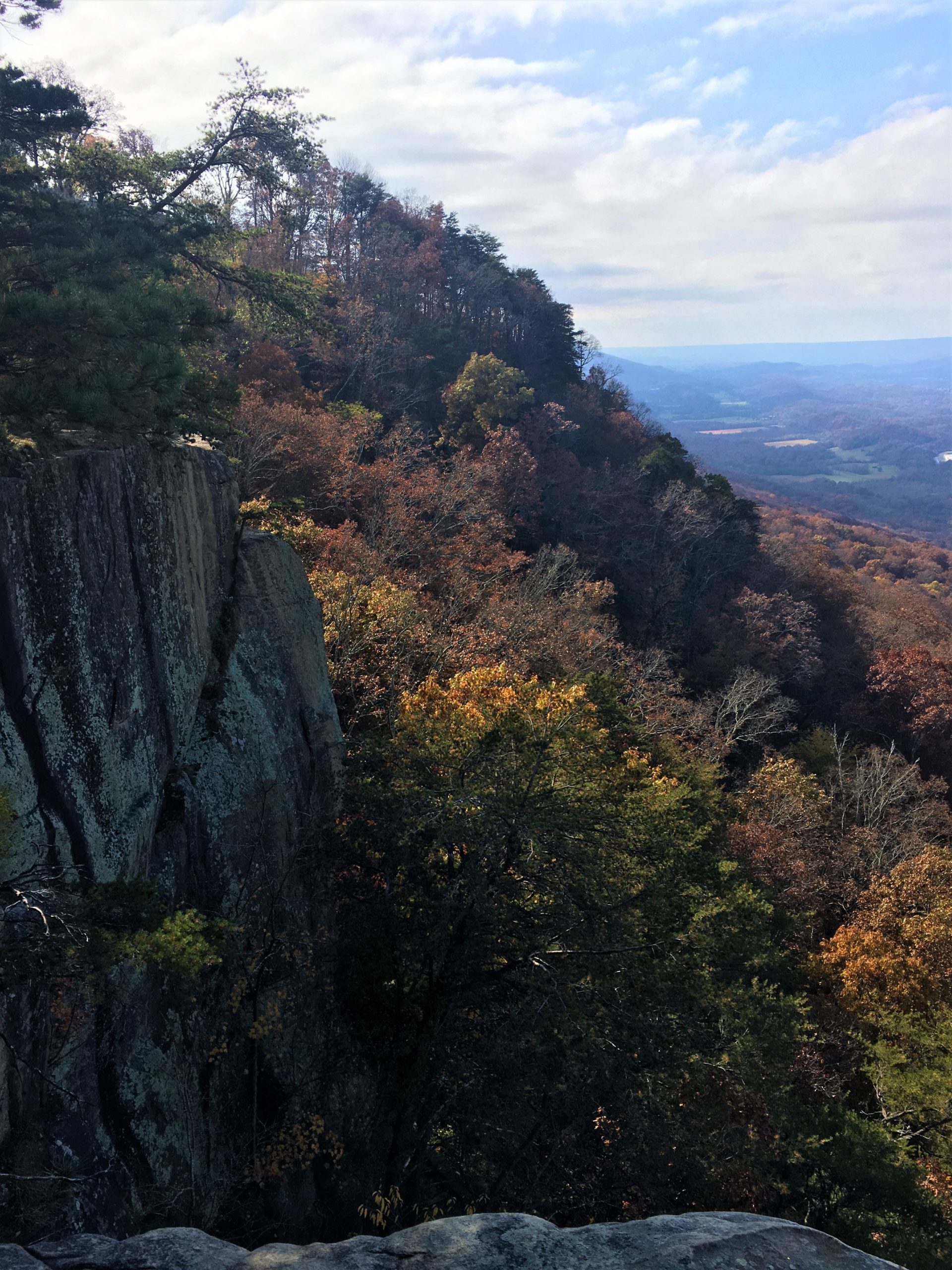
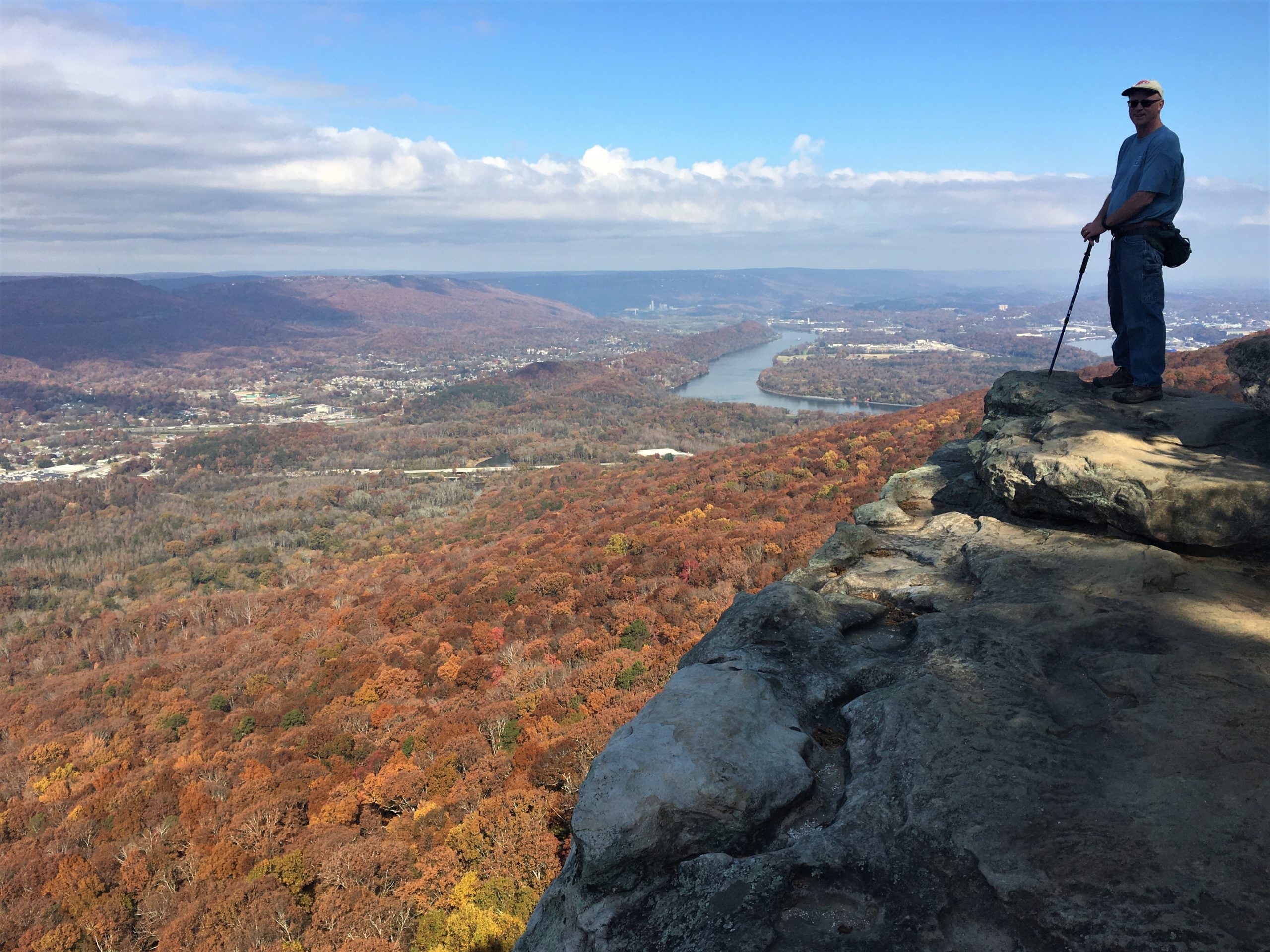
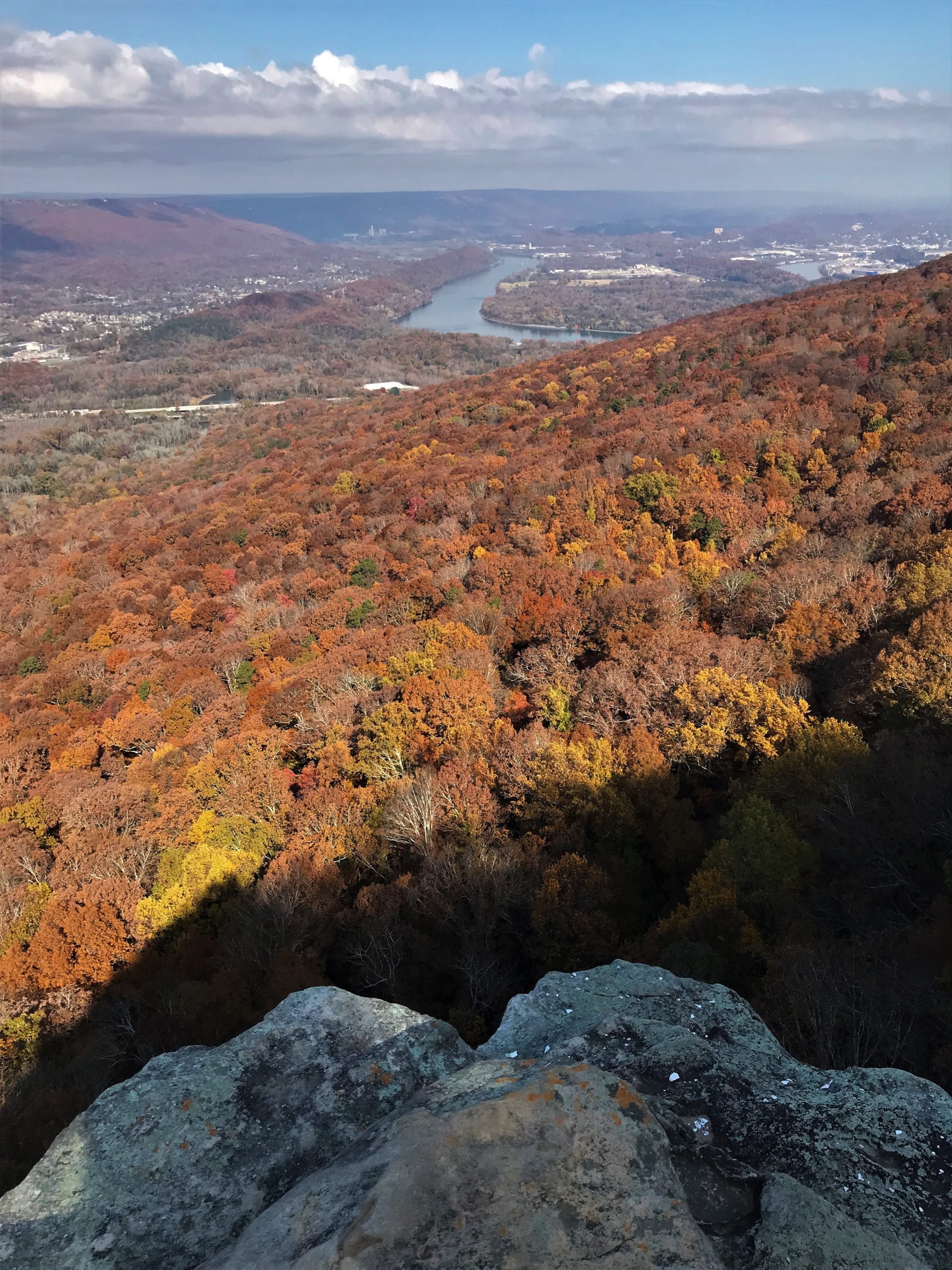
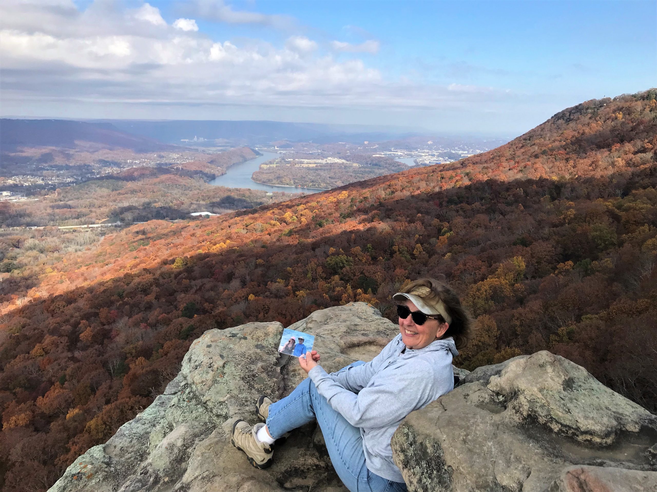
The rock offered a bit of protection from the wind.
Next objective was to continue our climb to the National Park. The problem was, the connecting trail was closed and looked like it had been for quite some time. Our choices? Return the way we came, or walk in the street through a neighborhood.
We opted for the neighborhood.
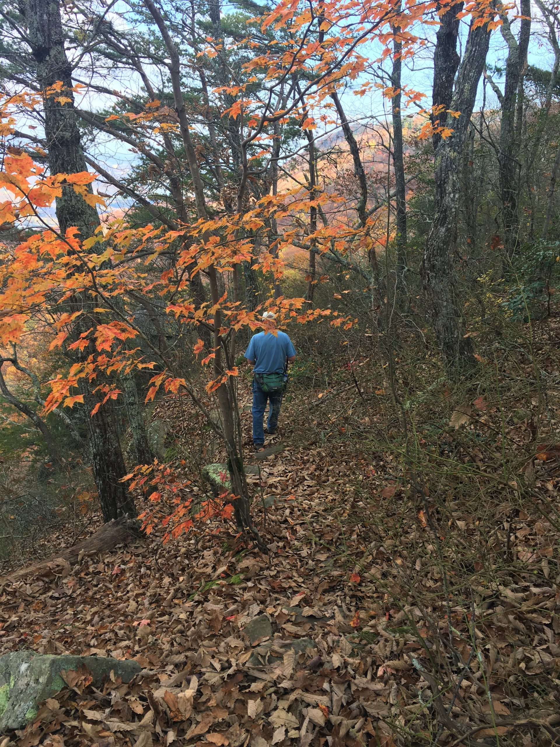
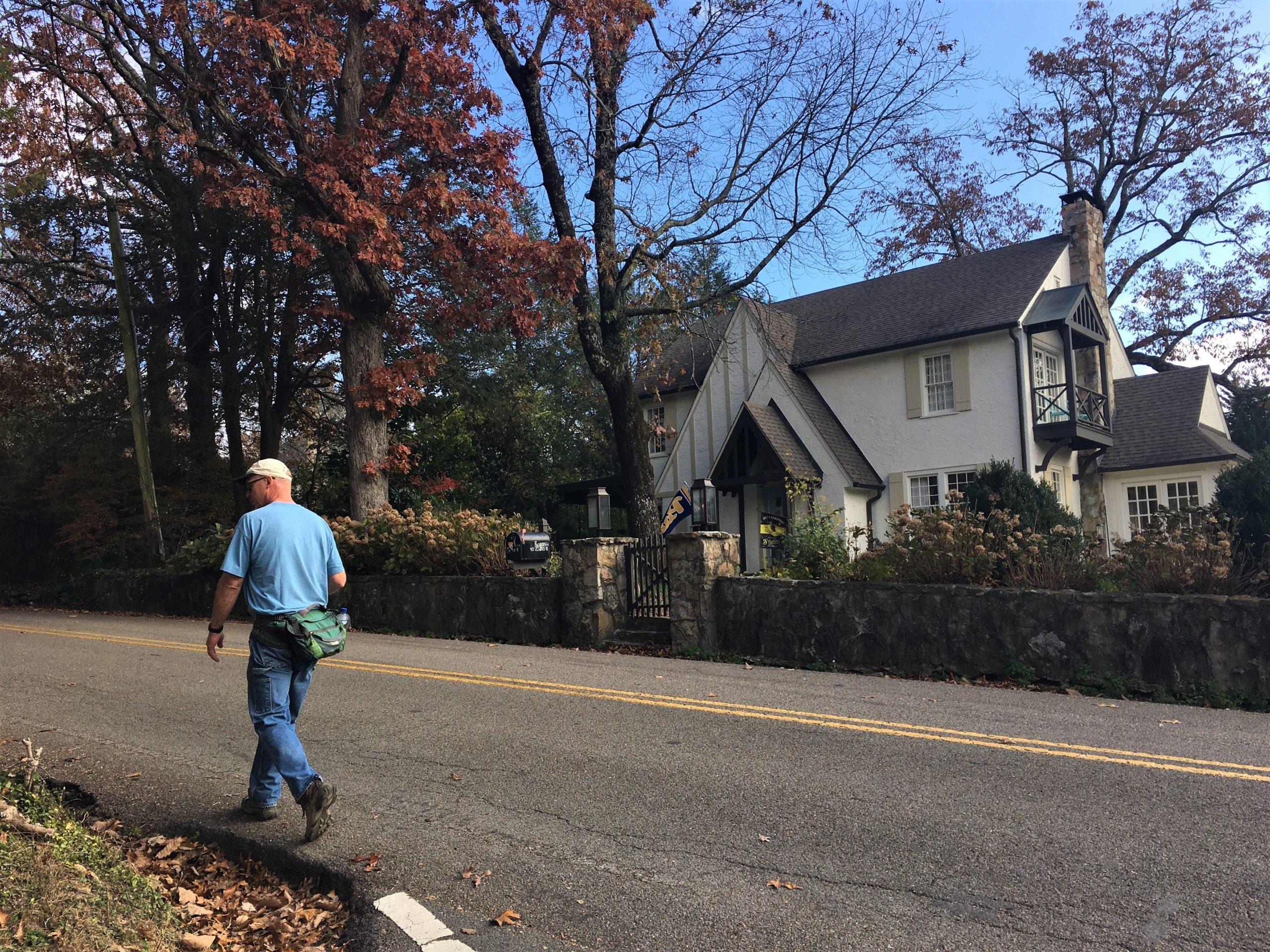
Let me tell you, it wasn’t just any neighborhood. It was a very well-to-do neighborhood! Beautifully constructed homes with well-groomed yards (what they had anyway). Most of the backs looked out over the valley. Blaine looked up a few addresses on Zillow as we walked. Most were 1-2 million dollar homes. No surprise there!
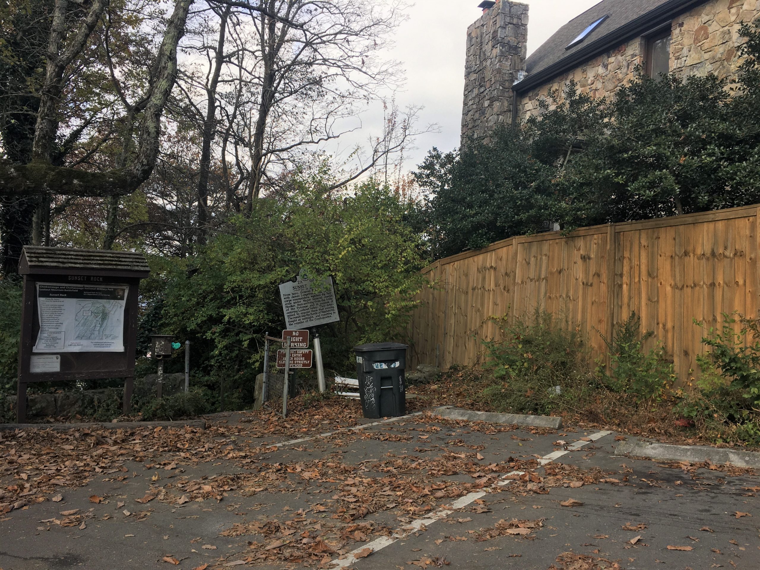
right in the middle of the neighborhood.
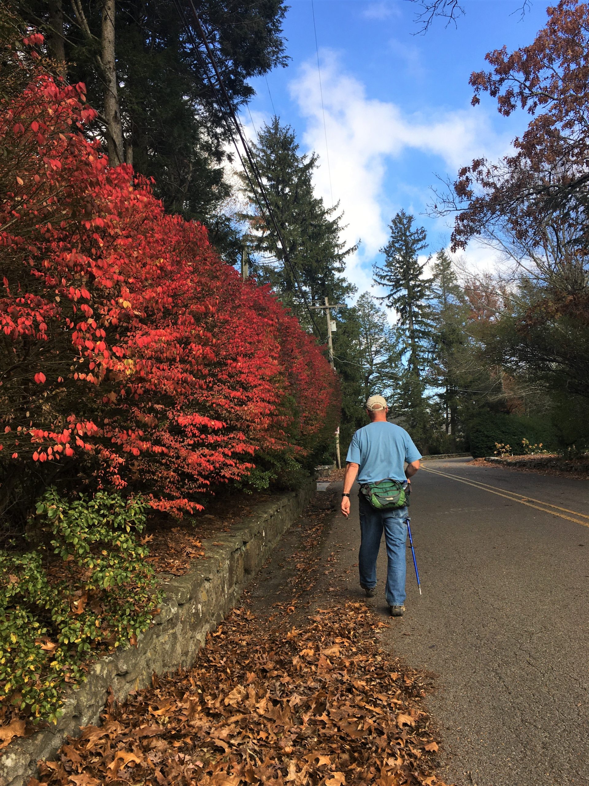
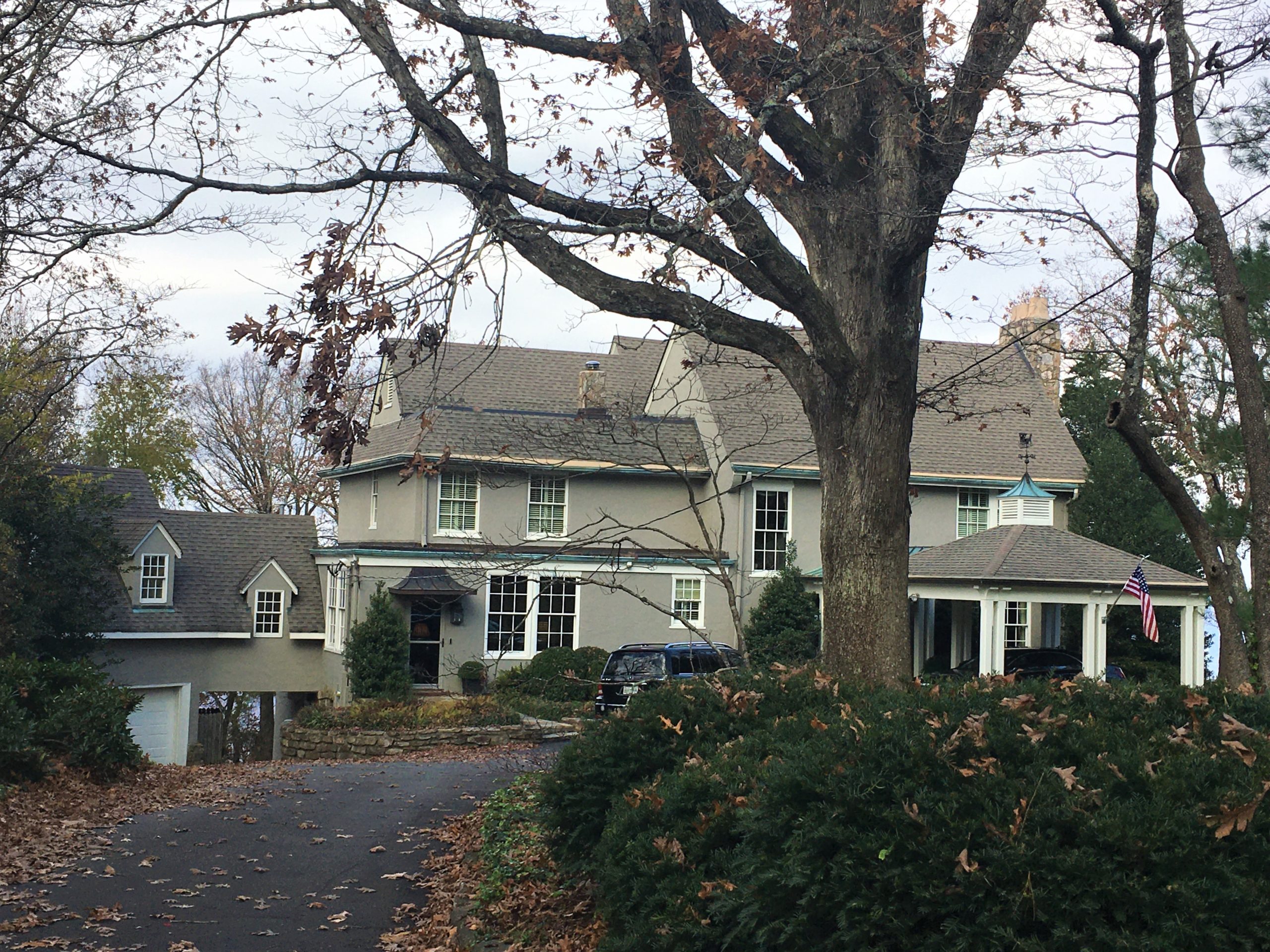
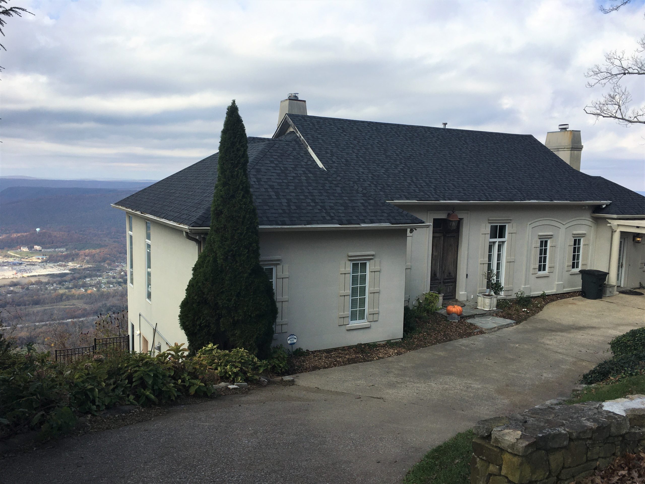
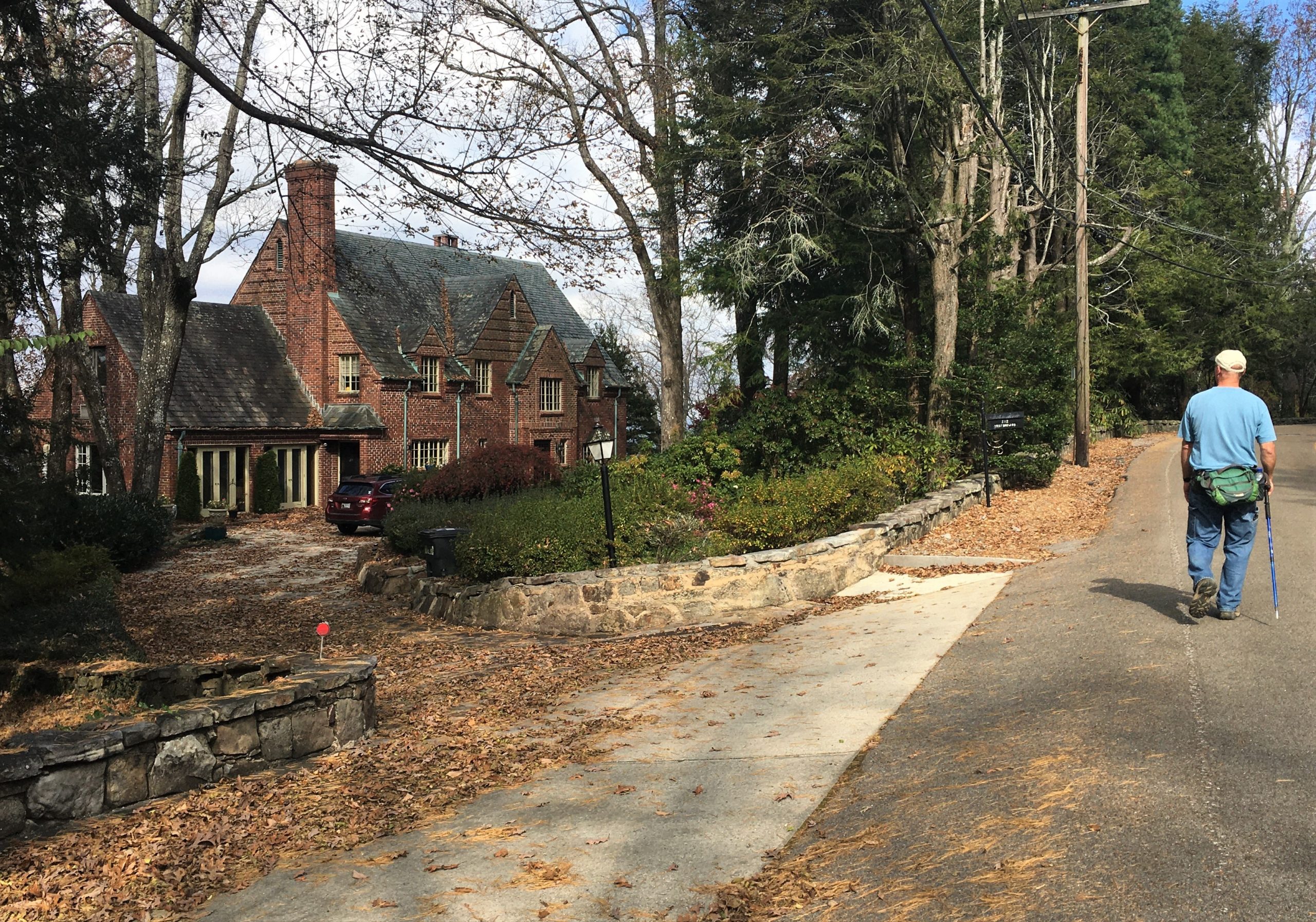
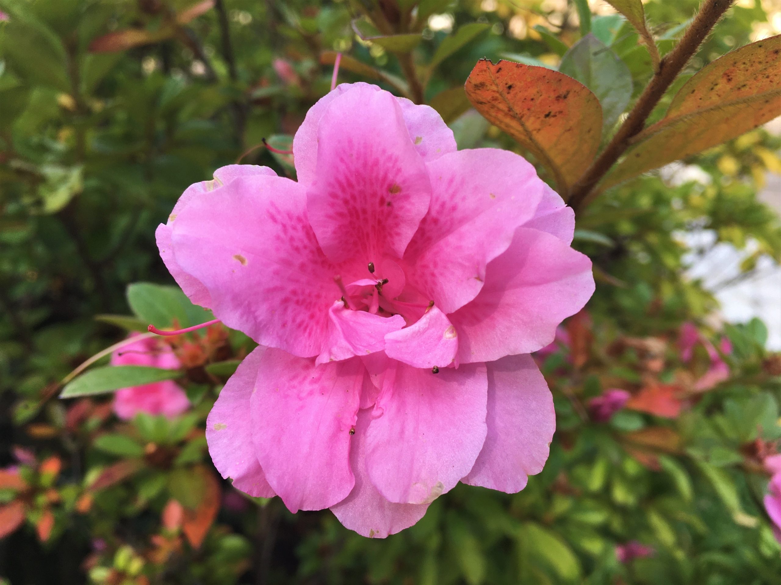
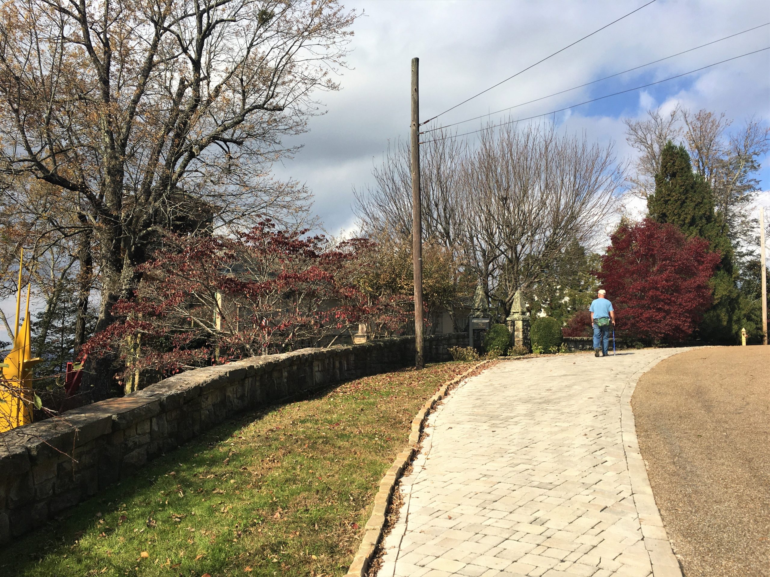
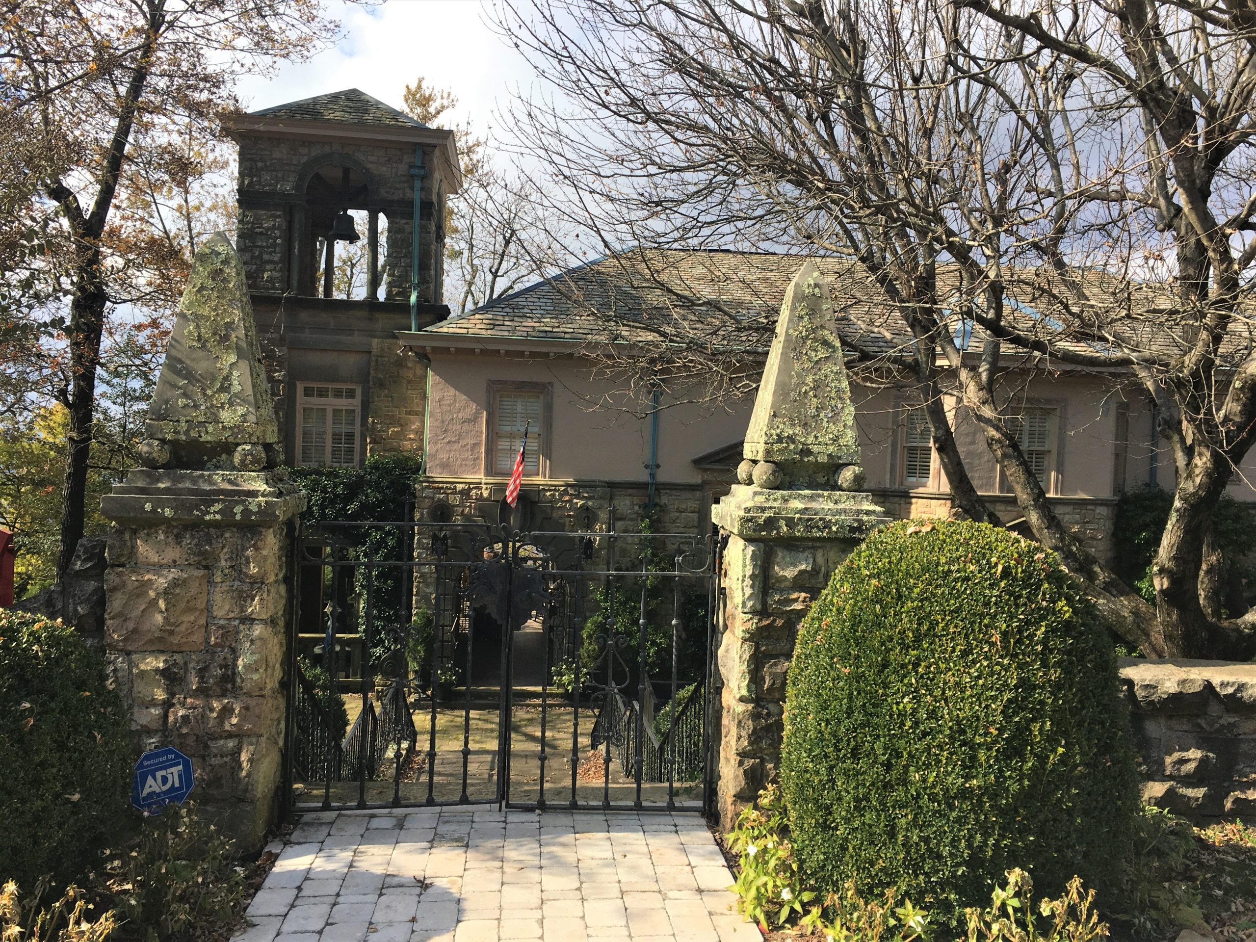
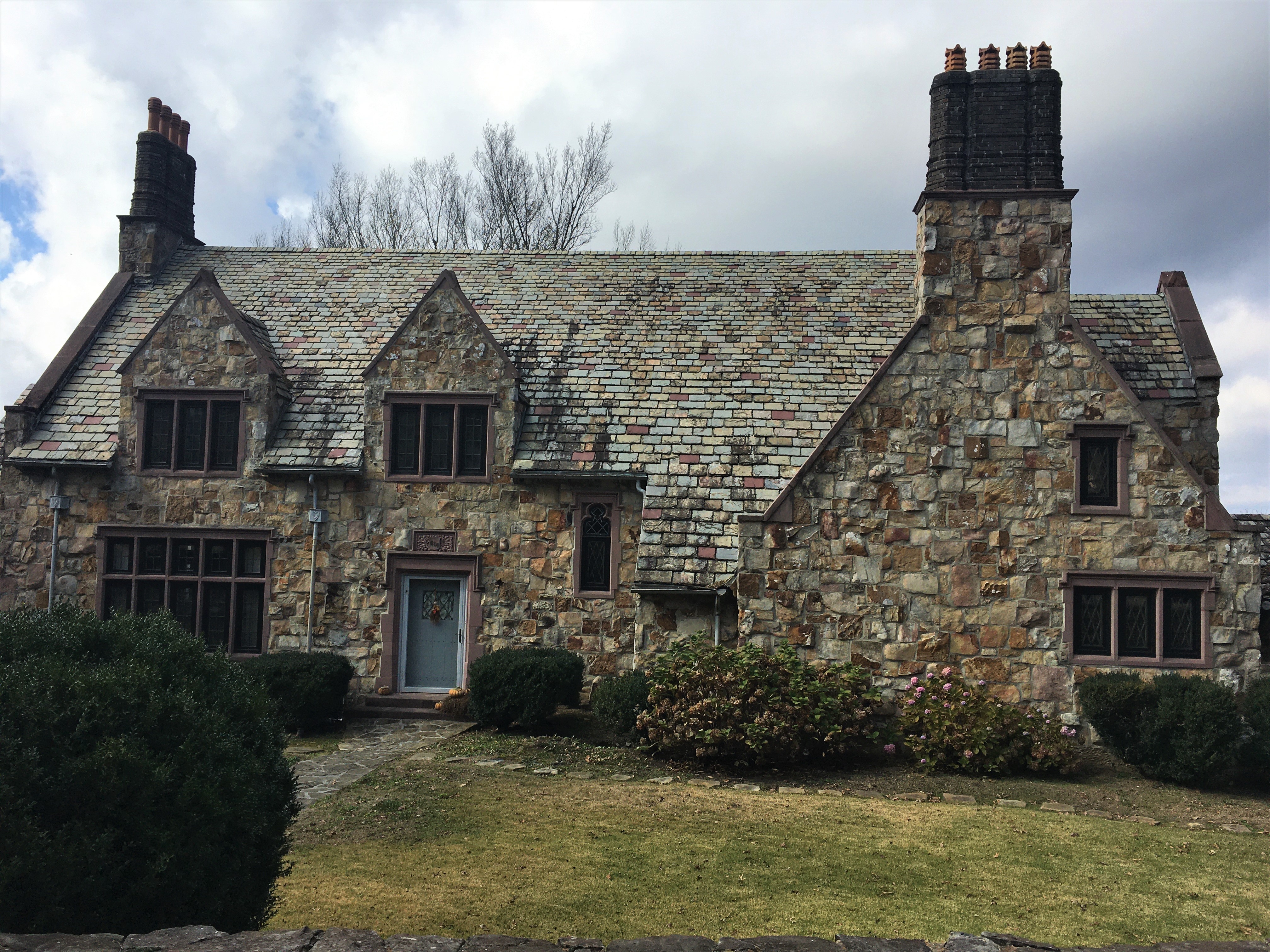
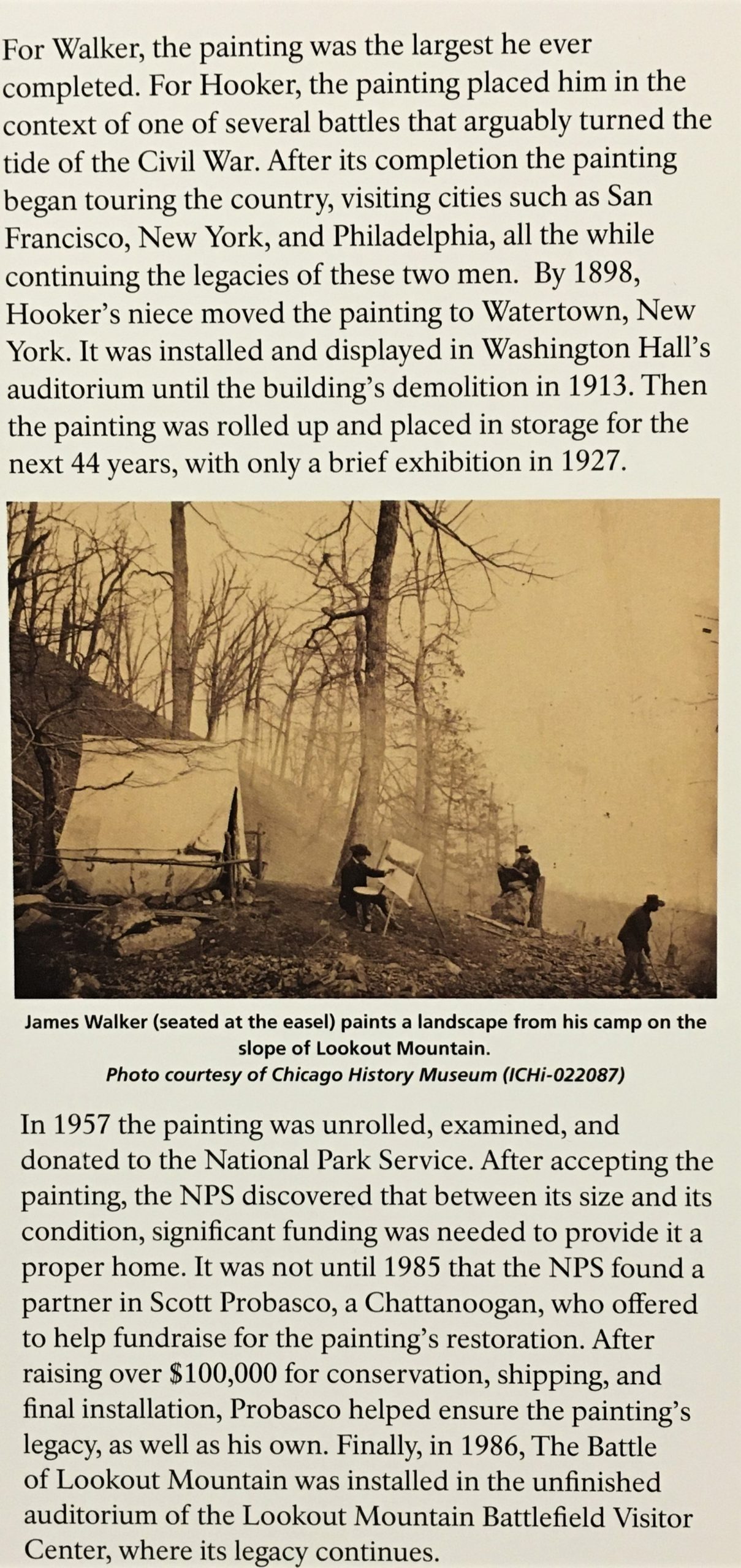
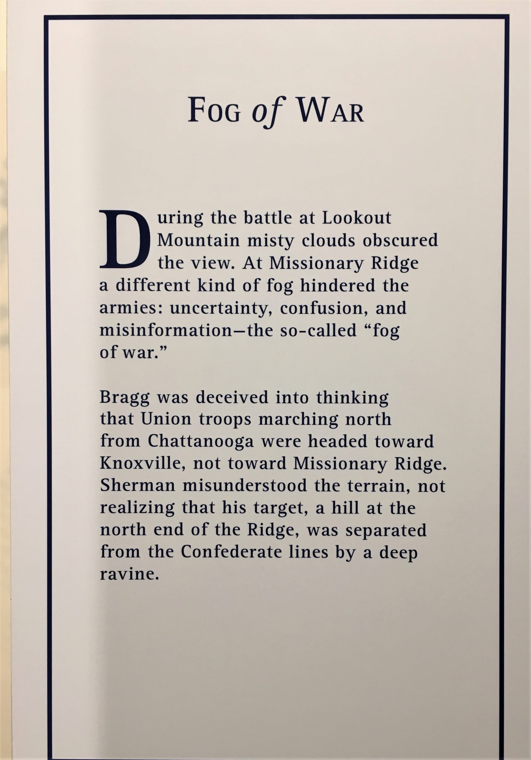
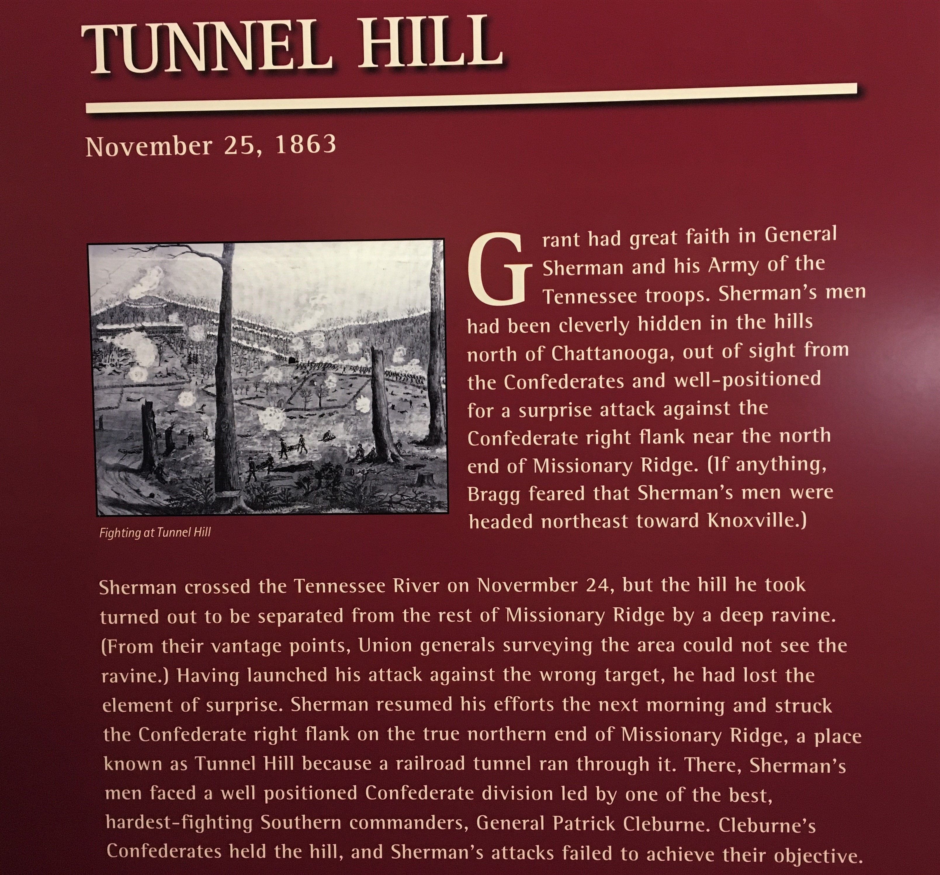
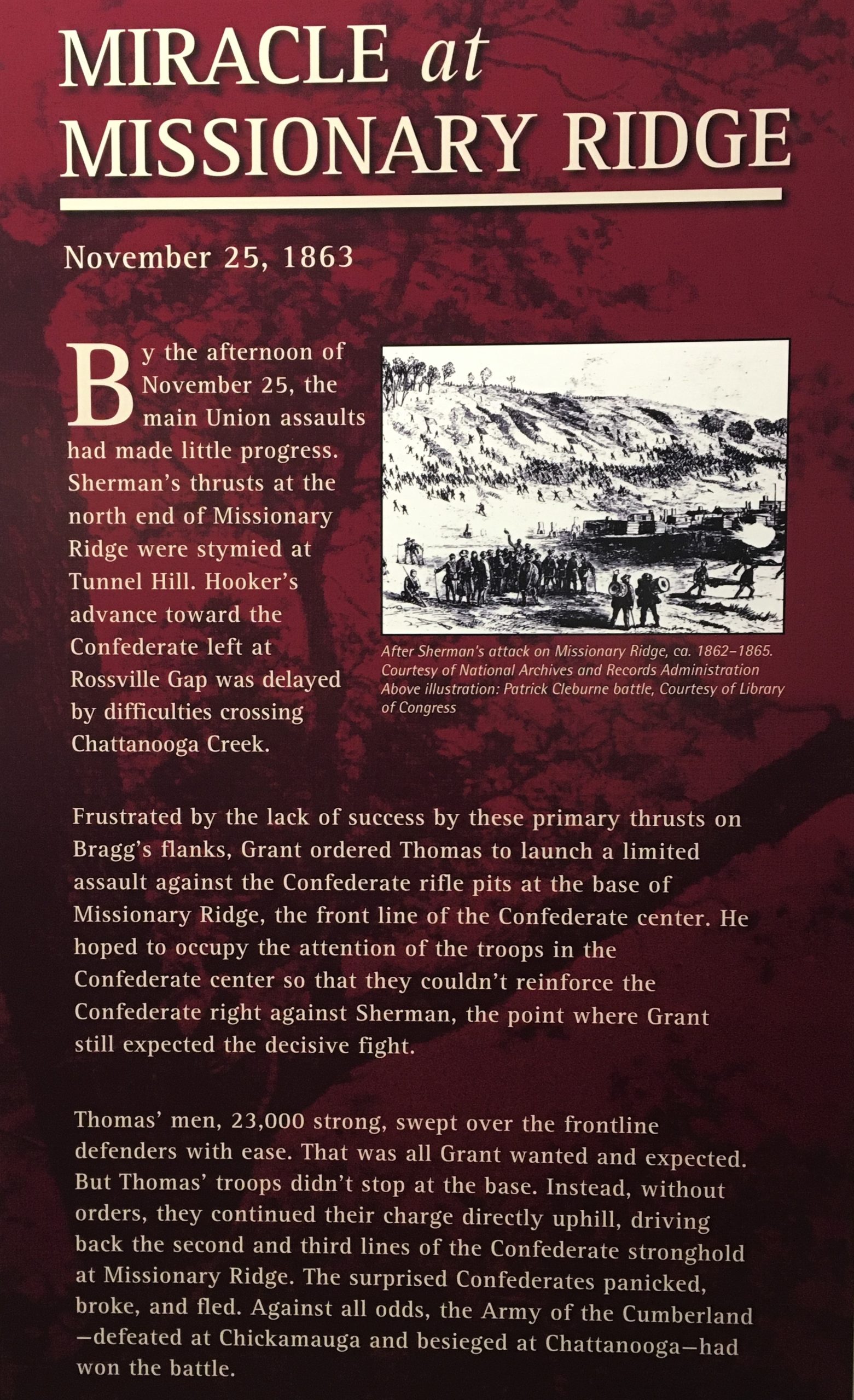
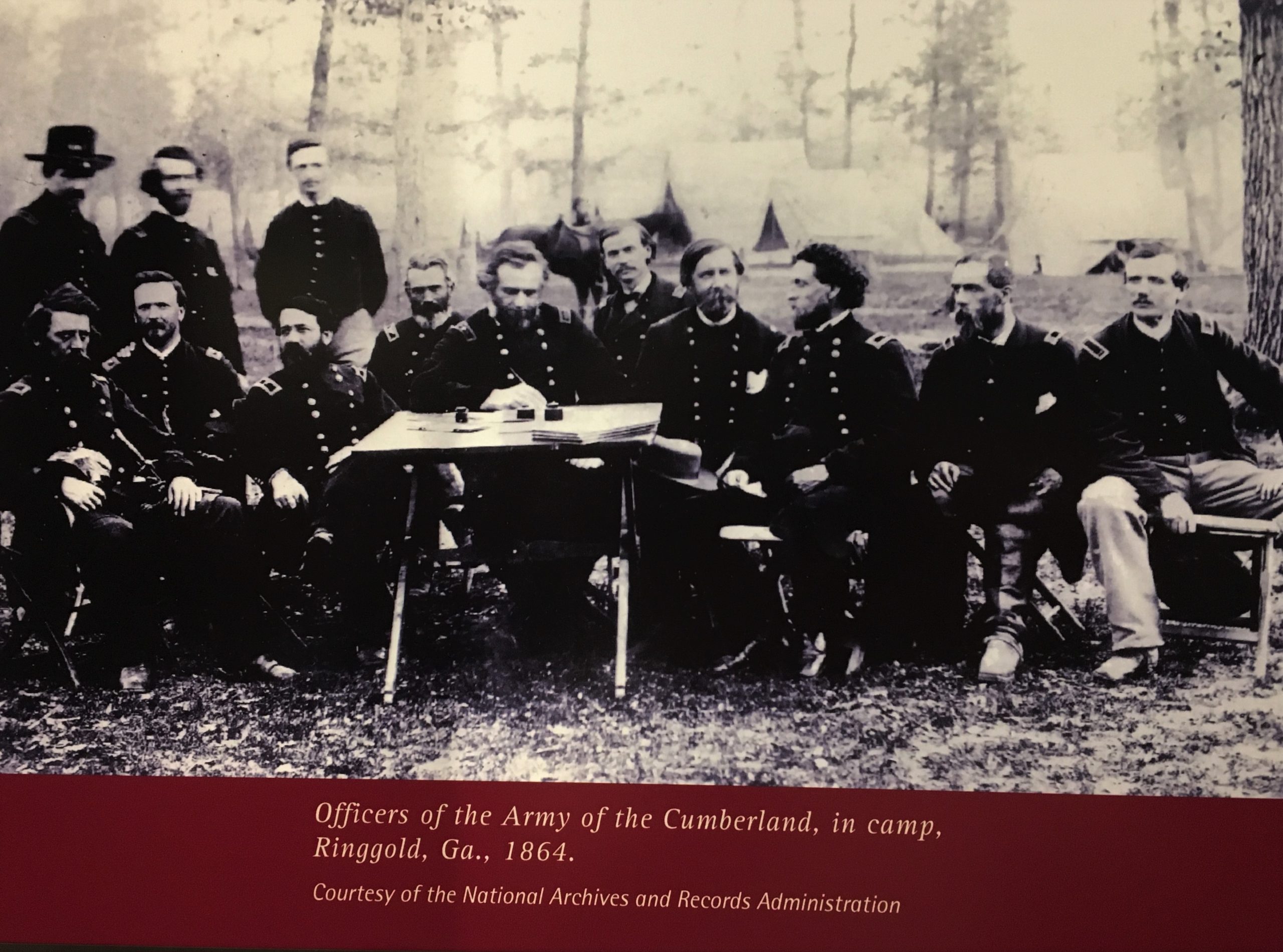
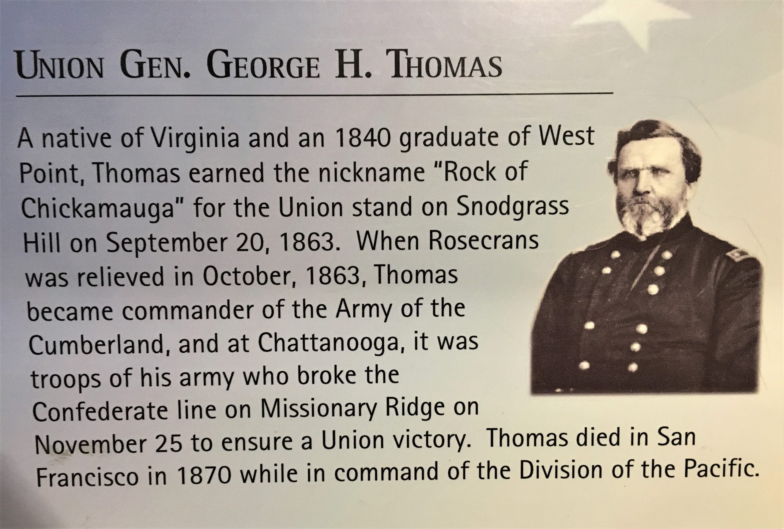
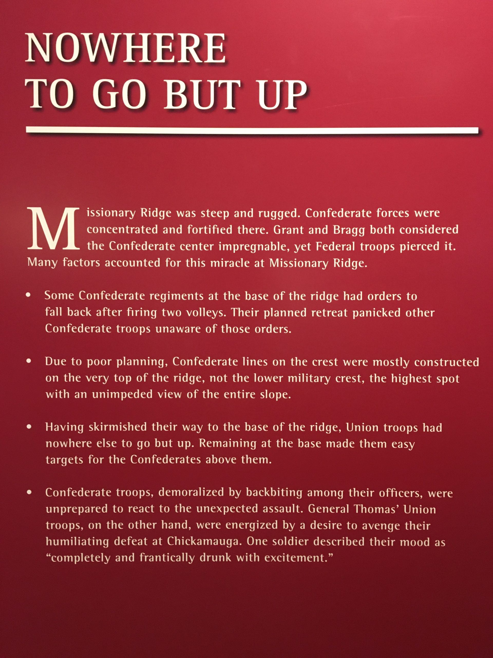
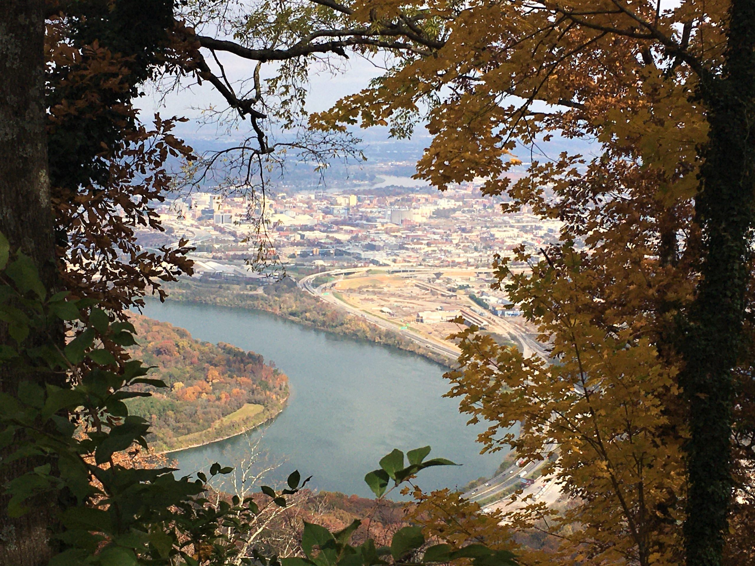
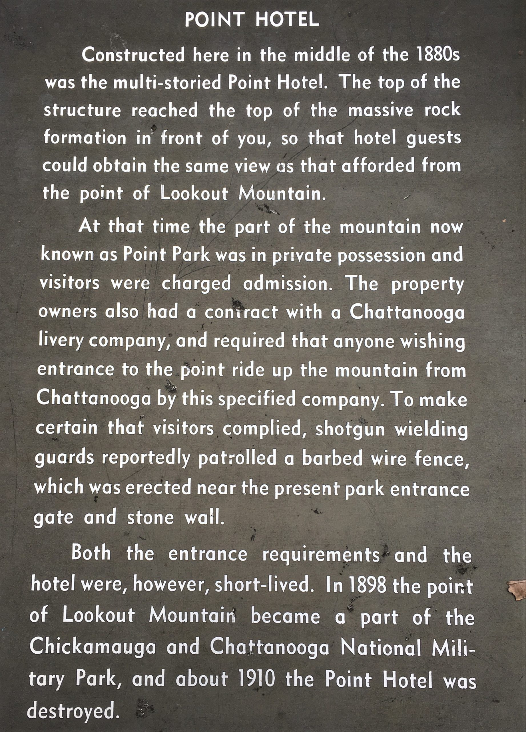
Three hours, and a few steep and difficult and scenic miles later, and we made it to the Park. We’ve been here before, and still can’t believe that they want to charge people $10 to go into the overlook area. We have our lifetime pass, so we didn’t have to worry about it, but we saw others paying their fee at the kiosk. We were still in awe of the huge painting inside the National Park Visitor Center, even though we saw it and took pictures, and read about it last time we visited.
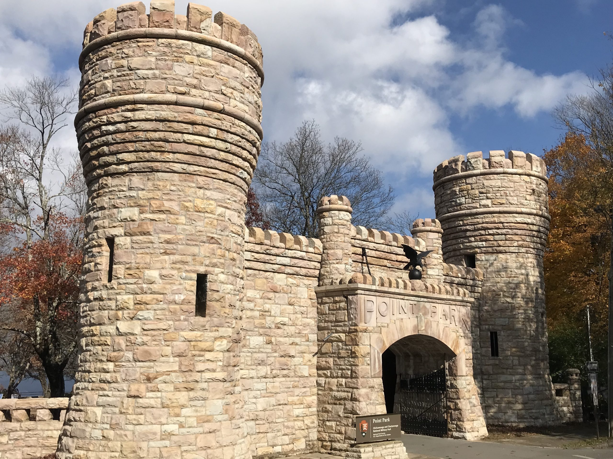
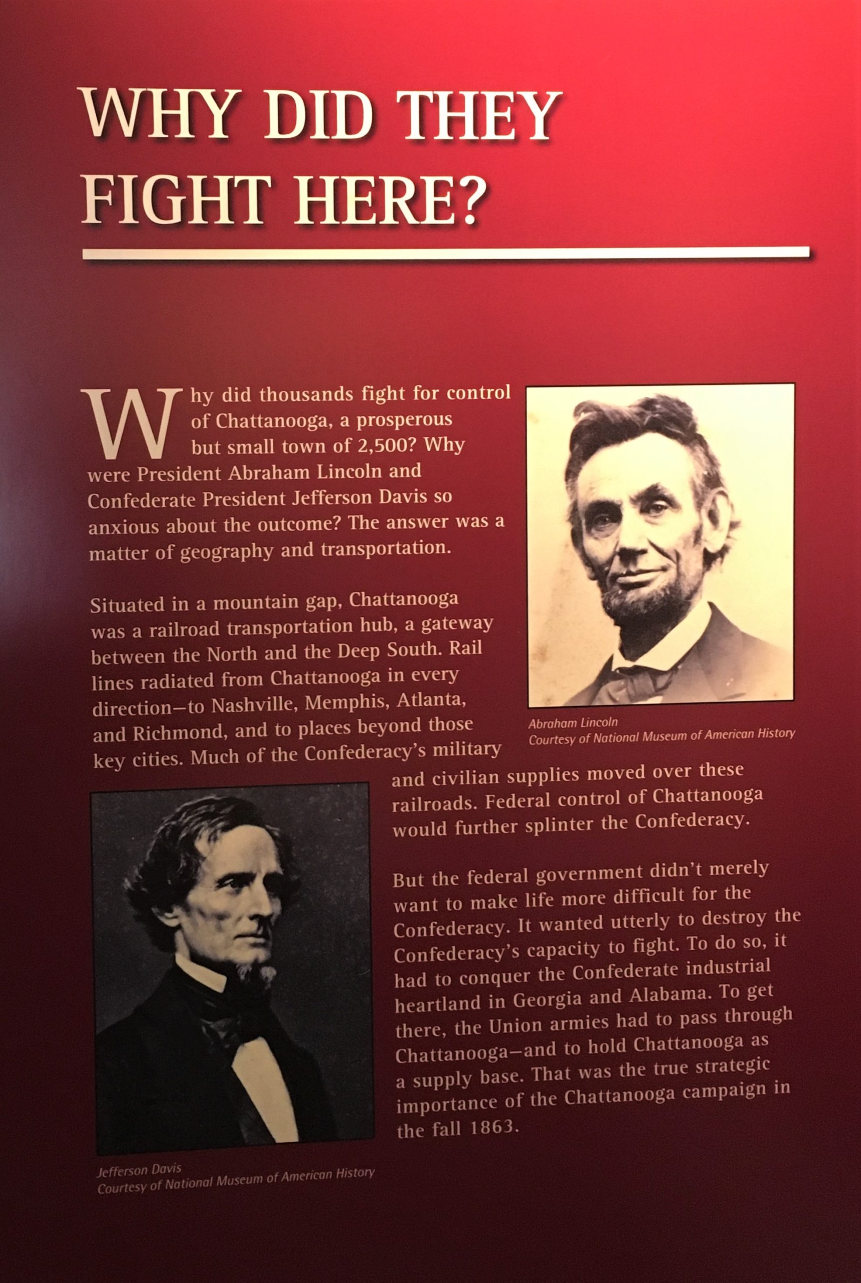
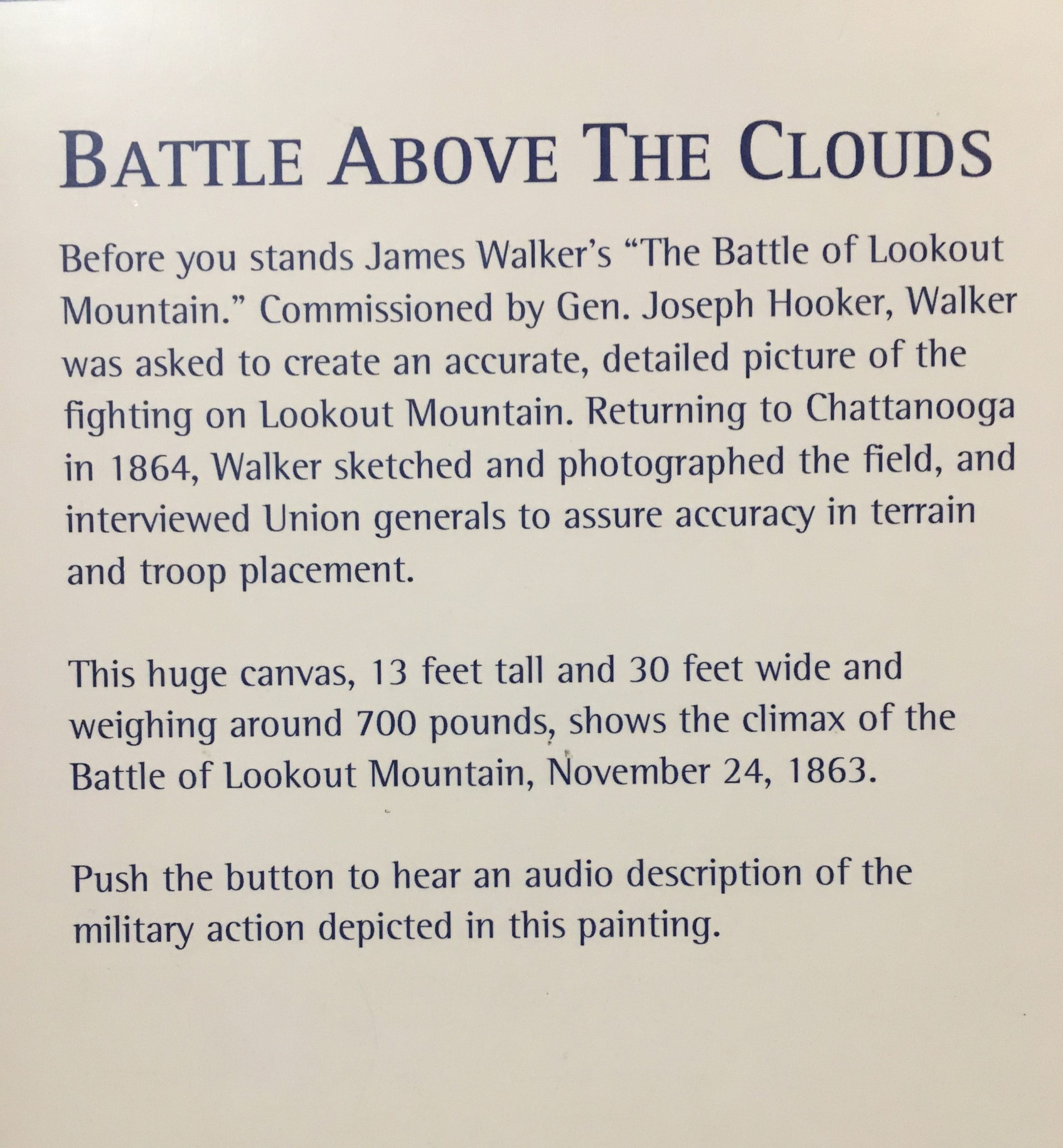
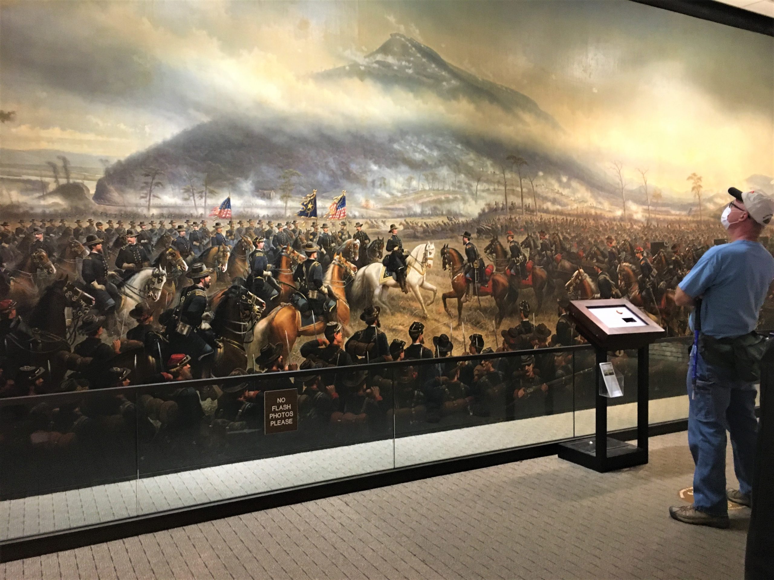
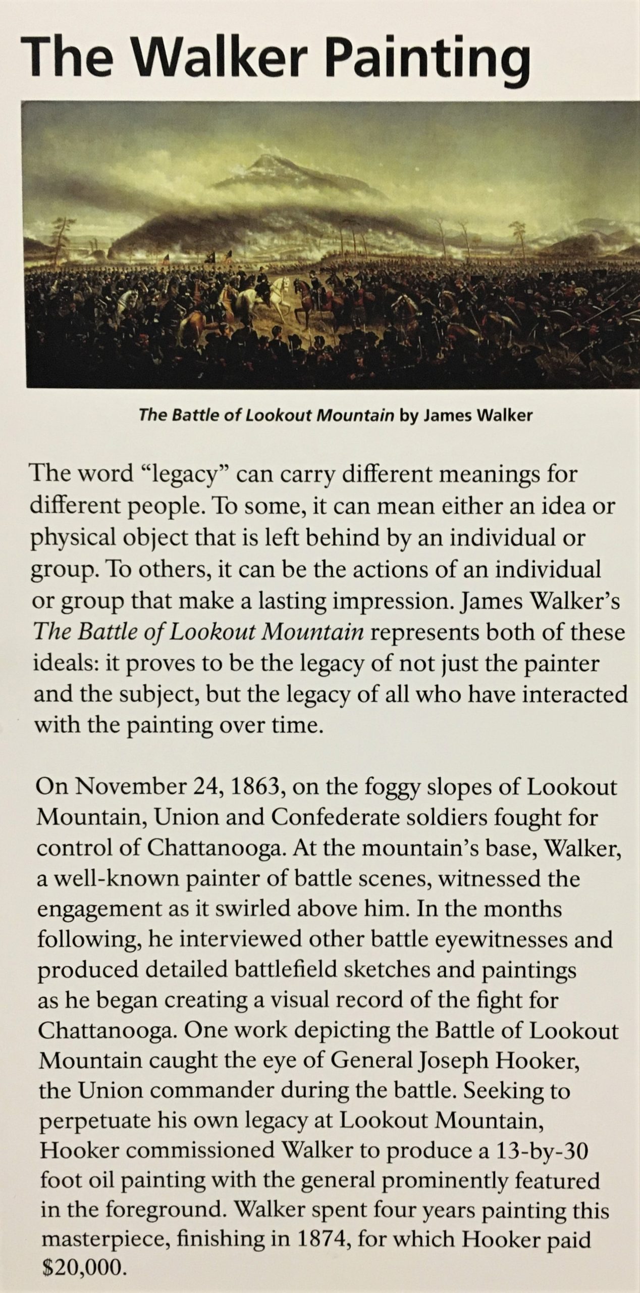
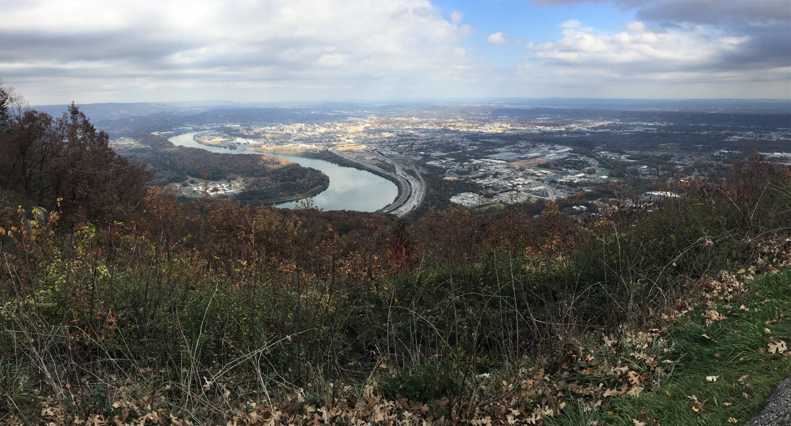
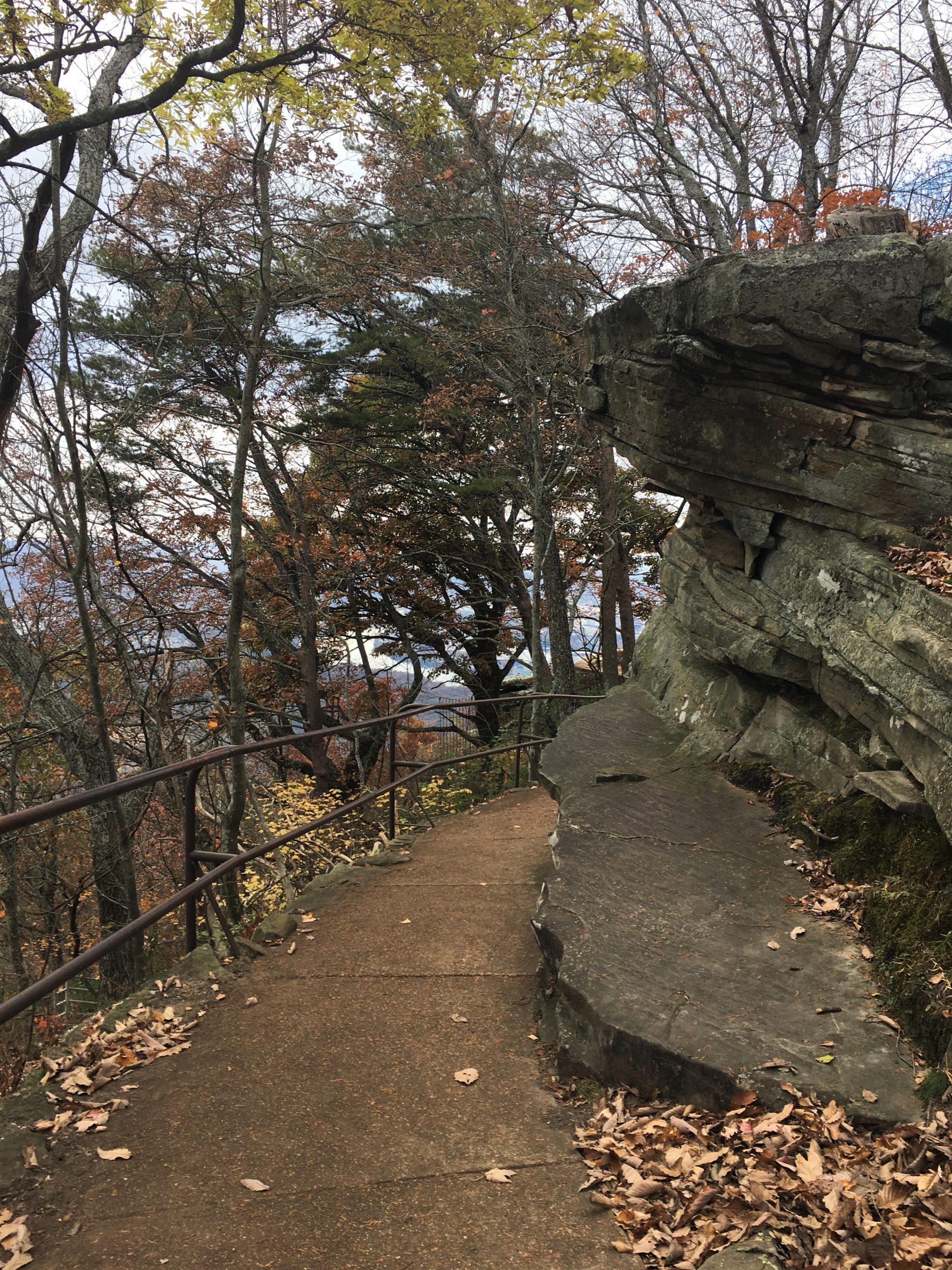
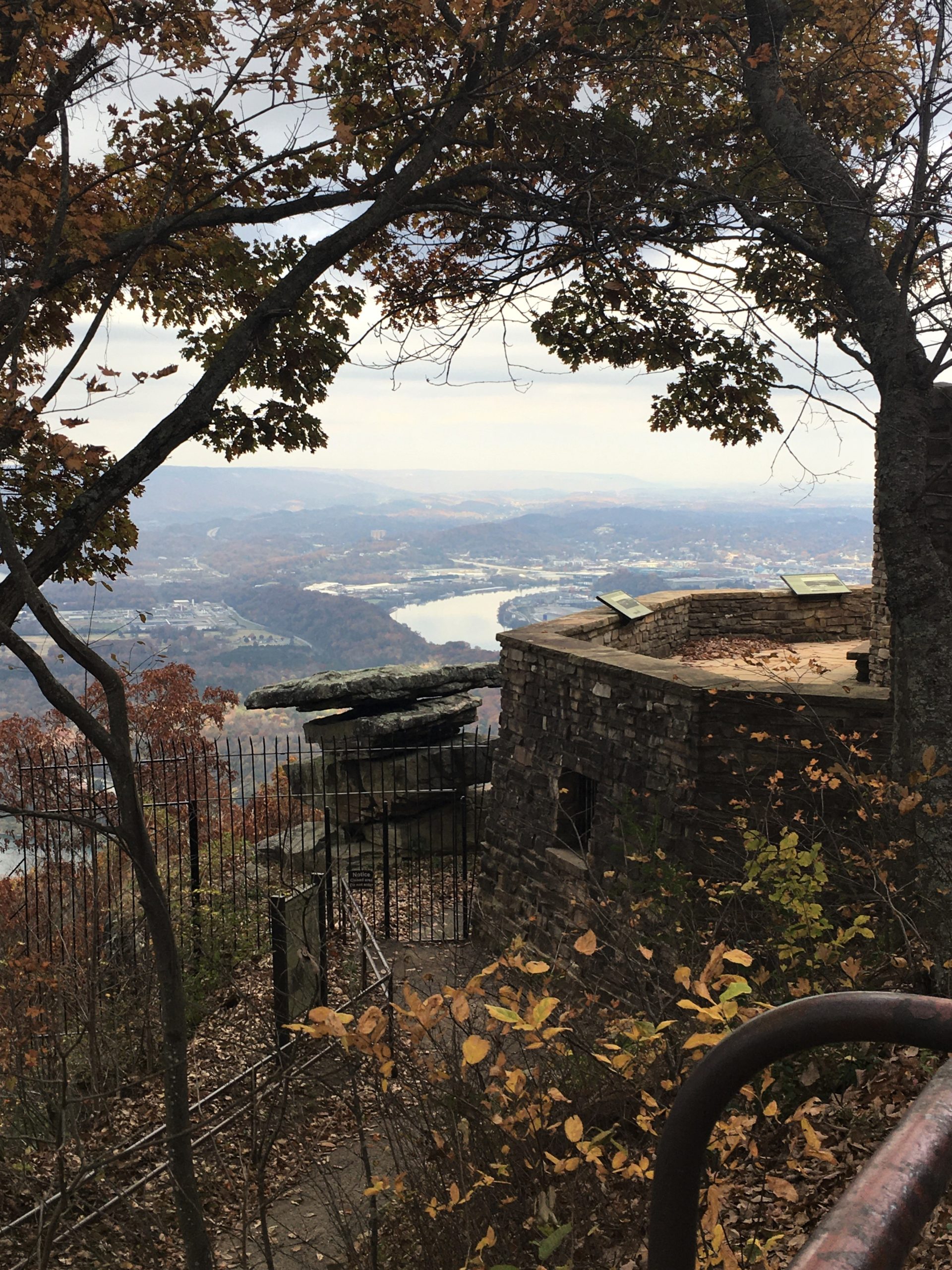
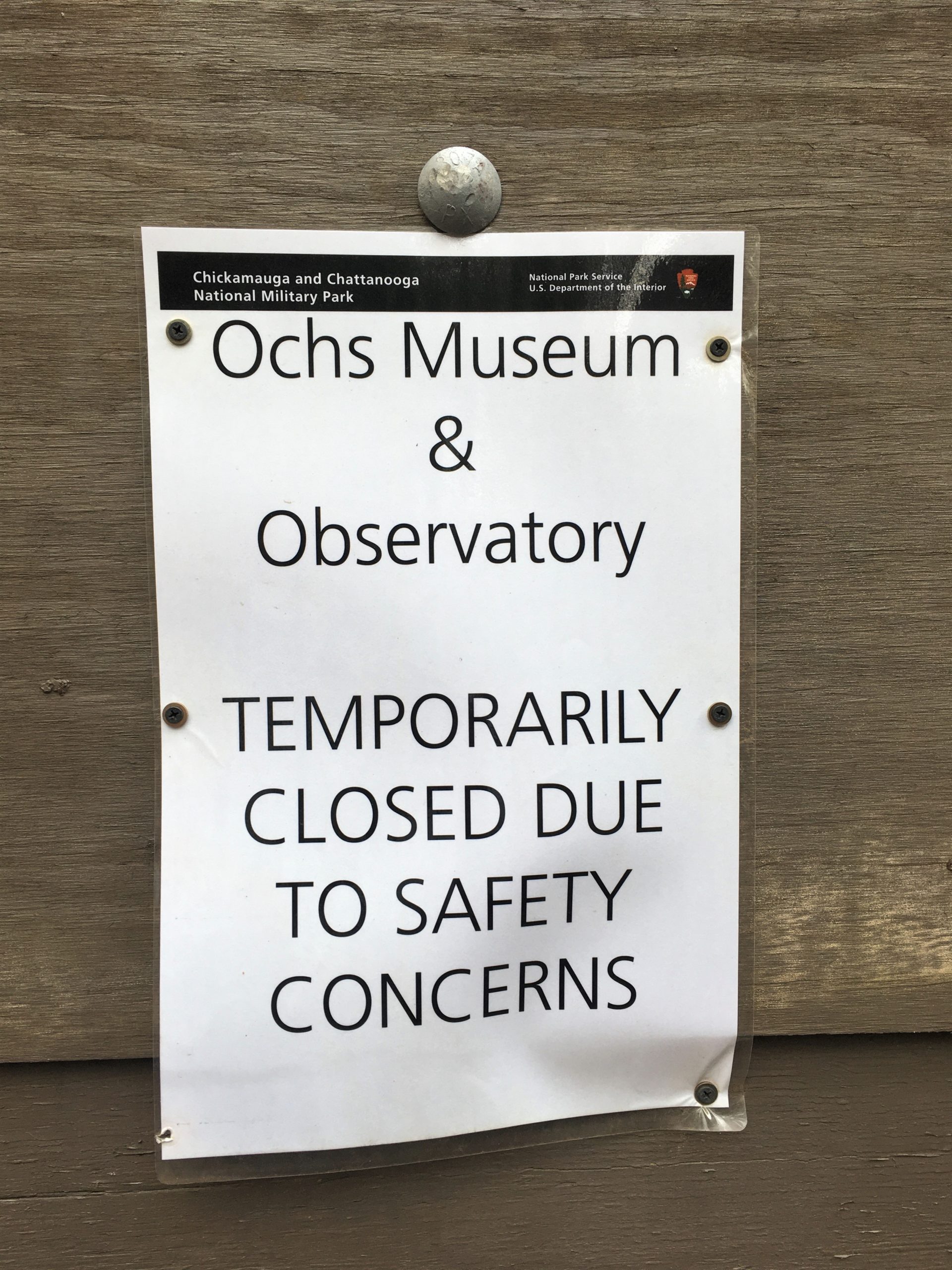
It was time to head back down to the Jeep and home. On the way, we passed the Ochs Museum. Last time, we’d been able to go in and see some historic pictures and things, but it’s closed now. Too bad. I wonder if they’ll ever have the funds to shore it up again.


Tomorrow we ride!
