Munising Tourist Park, Munising, Michigan (Upper Peninsula)
FYI – for those of you who may be wondering, Blaine published the last two (6/21 & 6/22) out of order. He sends his deepest regrets and sincerely apologies for this egregious error.
Most of you probably didn’t even notice. 😊
I have several morning view pictures today. Just couldn’t help myself!
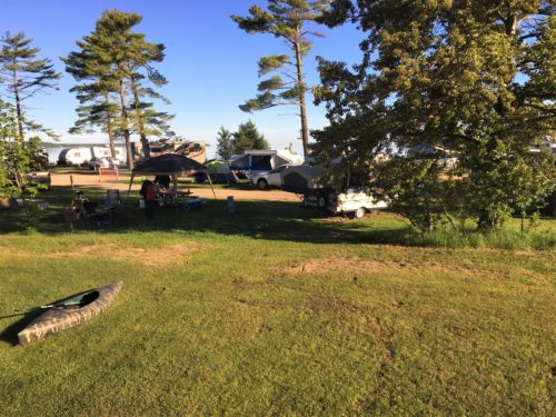
Same bathroom window view, but more expansive today!
Towards the left
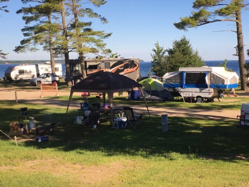
Zoomed in a bit.
See that motorhome?
When we came in, they were behind us and the guy on the ATV told us he liked theirs better. Haha!
The woman in the office wasn’t happy he said that out loud and tried to cover by saying she preferred ours. We told her it didn’t matter to us what he said. : )
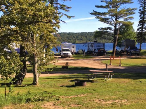
Towards the right.
It’s nice to be retired and on the road. It’s taken some time, but we’re a bit more laid back now. Meaning, if our set agenda doesn’t work out, we don’t freak out about it. We’re more “go with the flow”.
That worked in our favor today.
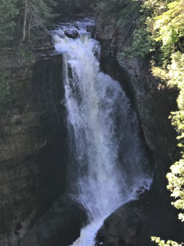
We had a list of waterfalls we planned to visit today, and our first change happened almost right away. We ended up at Miners Falls due to a detour/road closure. We were forced to drive way out and around from where we were supposed to be, and discovered that we were near the Falls. We hiked 1.2 miles to get there.
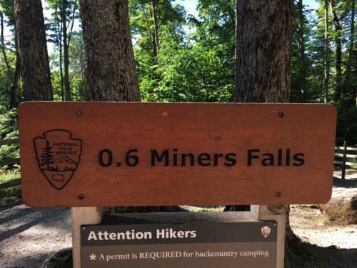
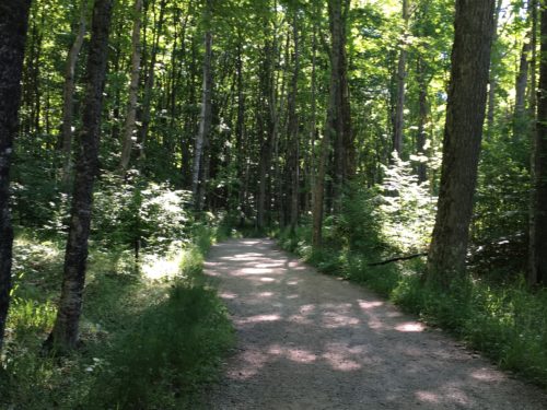
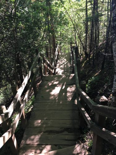
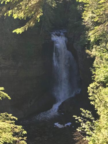
Miners Falls
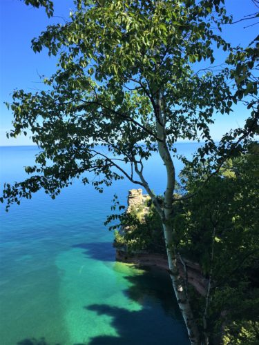
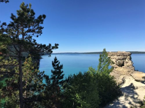
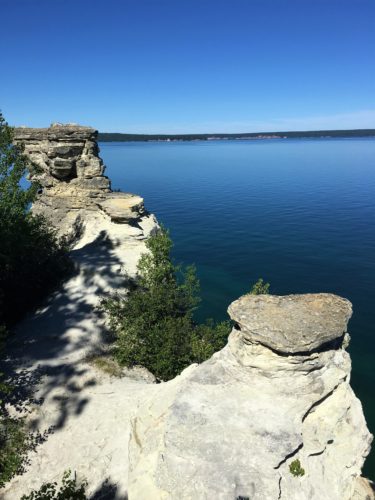
Since we were in the neighborhood, we stopped at the Miners Castle overlook. This rock formation has been here for a very long time and used to have two turrets, which is why it became known as a castle. Unfortunately, in very recent times, one of the turrets suddenly fell off due to erosion and we were told that a local fisherman was privileged to witness it! Great for him, bad for the rock. But it’s still really cool to look at! There was a trail that led down to view the rock from the other side, so we took that, adding another mile to our tally for today.
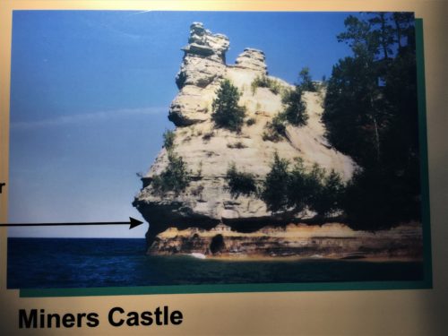
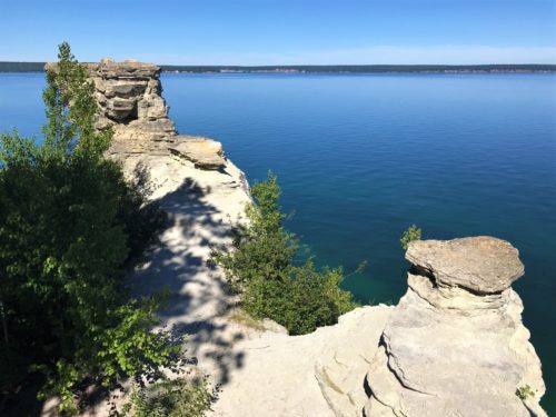
We were told one of the ‘turrets’ eroded and fell off recently. A local fisherman witnessed it.
We don’t have a perfect comparison, but I think you can tell if you compare this picture to the previous one. Looks like it’s the top front.
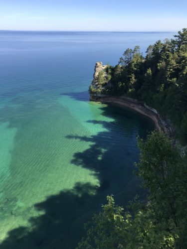
Our first view.
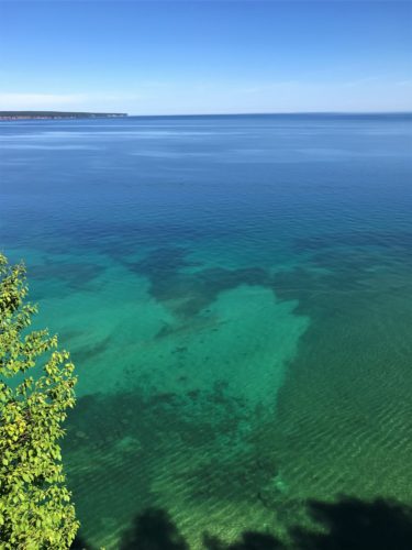
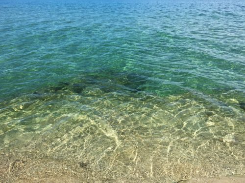
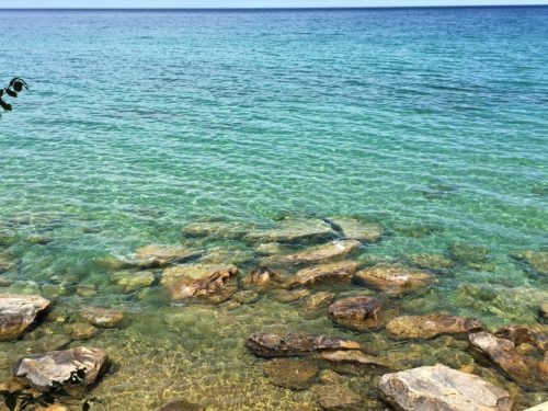
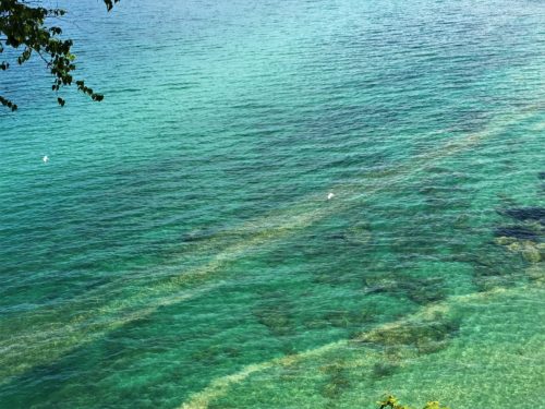
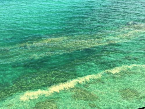
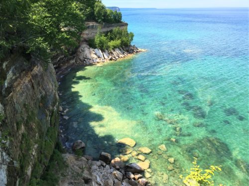
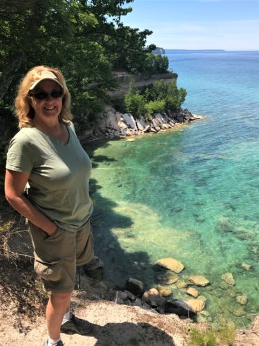
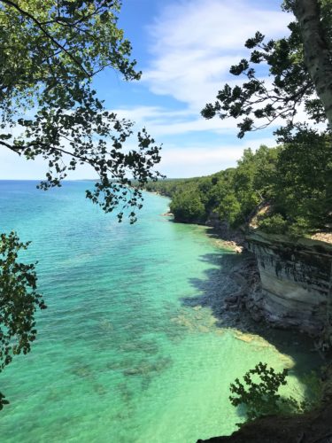
The water here is indescribable!
Pictures don’t do it justice!
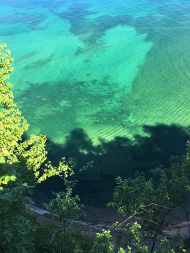
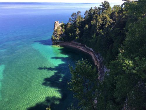
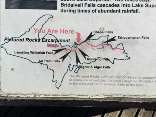
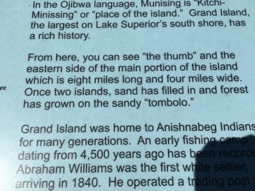
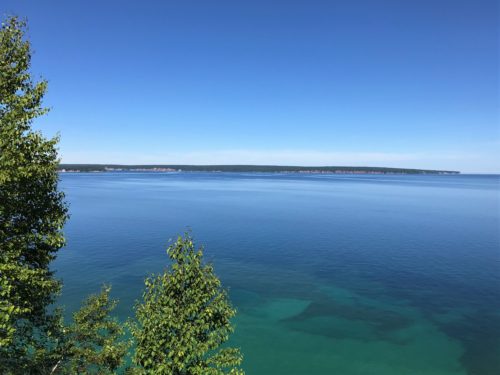
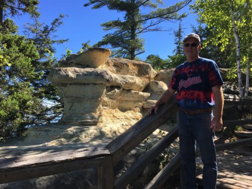
The previous pictures are from the viewing platform. There’s also a short trail that takes you as close as you’re allowed to the Castle.
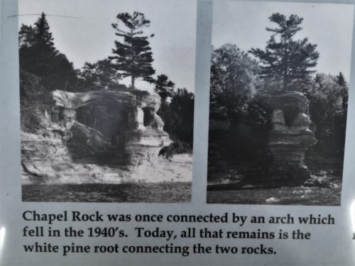
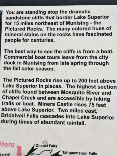
I’m not sure why this information is here. Chapel Rock is aways away.
In addition, it was here that we decided traipsing through the woods today (because that’s where waterfalls are) would be a waste of an absolutely perfect, crystal clear day!
Out came the maps and all the information Blaine brought along. Instead of waterfalls, we headed over to what is called the Beaver Lake area and started hiking the ridge along the Pictured Rocks. The area was named for the colored stains on the cliff faces produced by dripping groundwater that contains iron and other minerals. It’s also the United States’ first National Lakeshore, established in 1966.
Now our day has turned into one long hike, instead of a bunch of small ones. So from Beaver Lake, we went left on the trail (which is actually a total of 42 miles if you do the entire thing) with an optimistic end at a place called Chapel Rock.
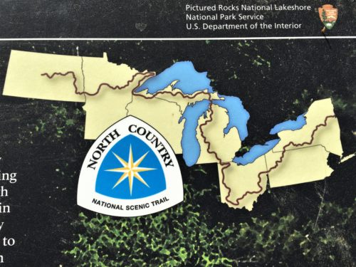
Here’s the entire North Country Trail.
Just in case you’re considering taking it on . . .
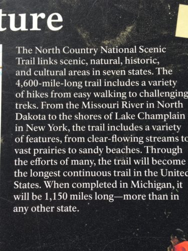
We saw a map somewhere that shows the incomplete portions of the trail.
No word on when it will be completed, but the missing sections are small.
At least on a map. : )
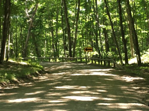
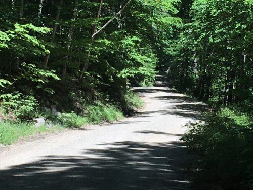
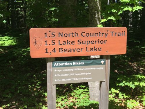
We’re going to the North Country Trail/Lake Superior
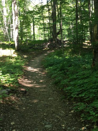
Along the way, the ravenous mosquitoes found us forcing us to don au du Deet. We don’t like using that stuff, but sometimes it just becomes necessary. Today, it was necessary. In fact, we passed a Park Ranger who was completely covered from head to toe, including a mosquito net face mask attached to her hat. She lifted it to talk to us, but they were so bad, she had to pull it back down. Deet works great!
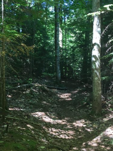
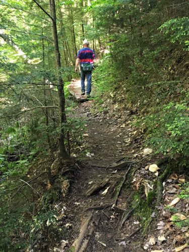
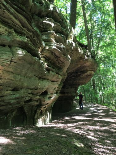
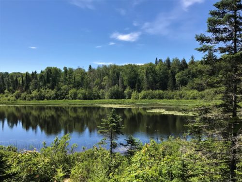
A lake we encountered along the way – – but not Beaver Lake.
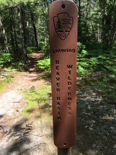
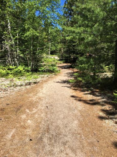
Right about here, our trail turned from dirt to sand.
We prefer dirt. Sand is harder to hike in.
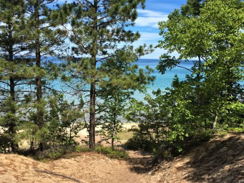
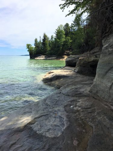
Lake Superior!
We walked a bit, all the while looking for a place to eat lunch, and we found it!
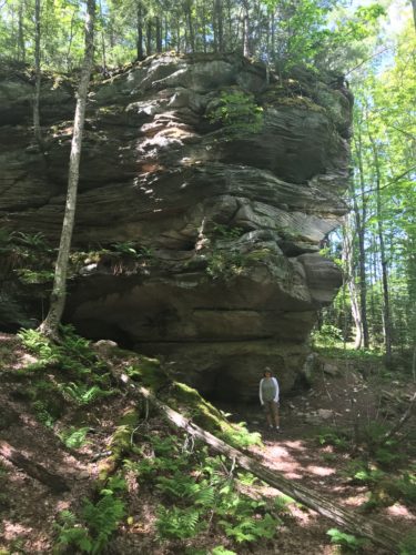
Now we’re on the North Country Trail, headed for Chapel Rock.
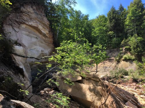
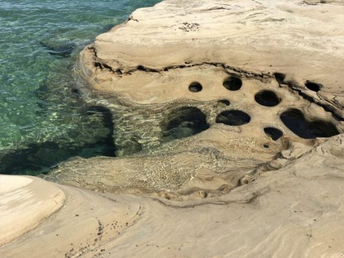
Whoa!
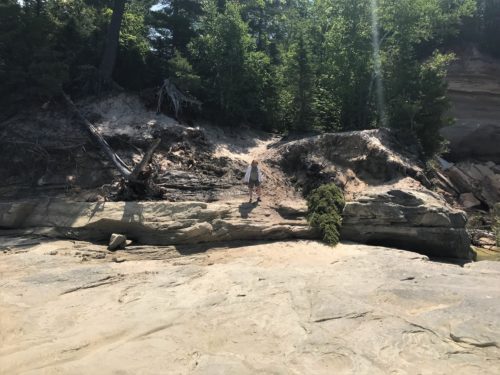
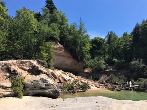
Huge loss! We learned later that this used to be a sort of cave area and it fell off in May of this year!
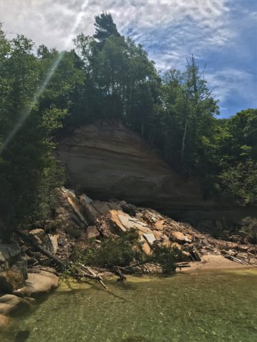
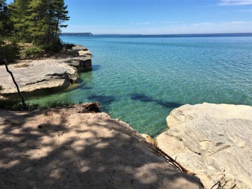
Looks like a picture-perfect lunch spot!
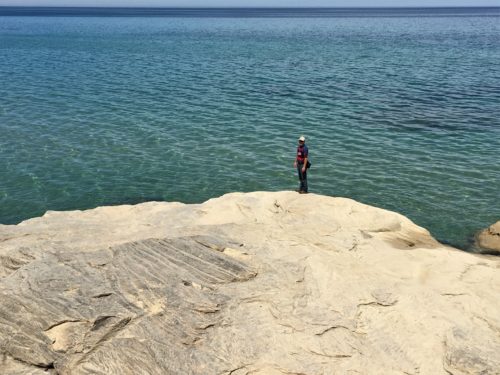
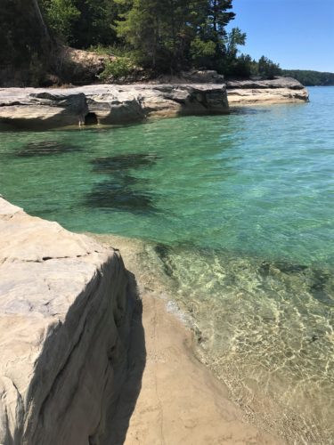
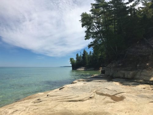
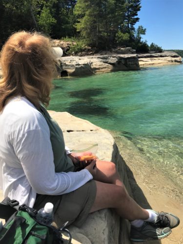
Ahhhhh . . . .
I didn’t want to leave!
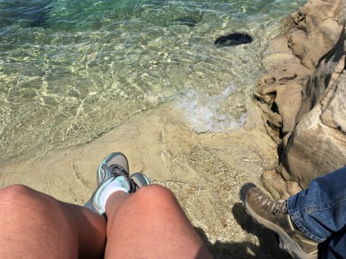
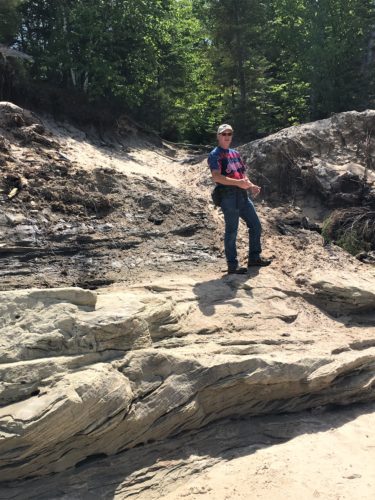
“Come on, Terri! Time to go!”
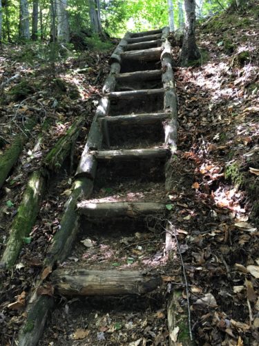
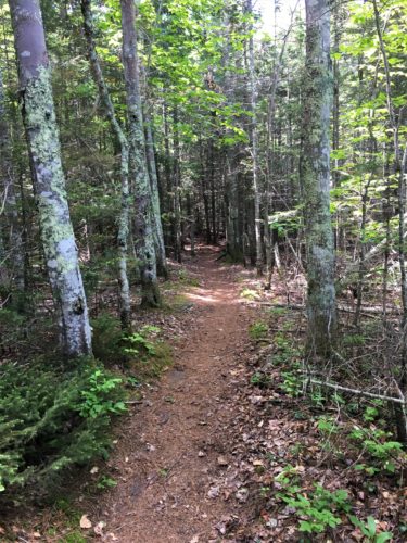
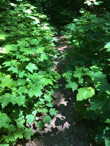
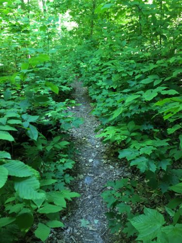
This trail takes us in and out of the woods, teasing us with periodic spectacular views.
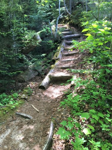
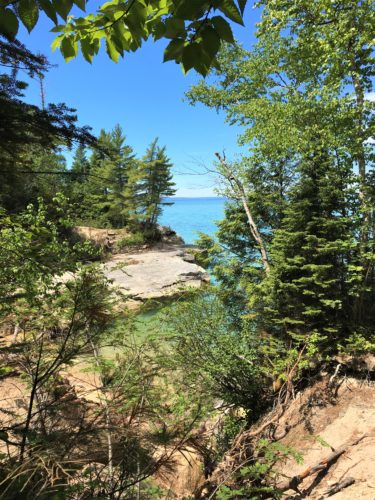
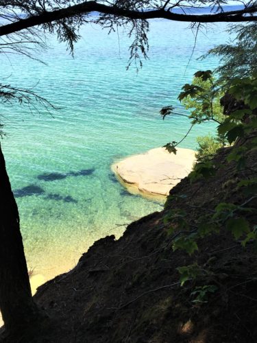
That’s our lunch spot down there!
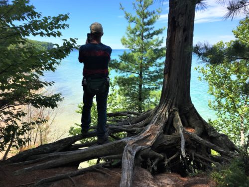
Crazy man!
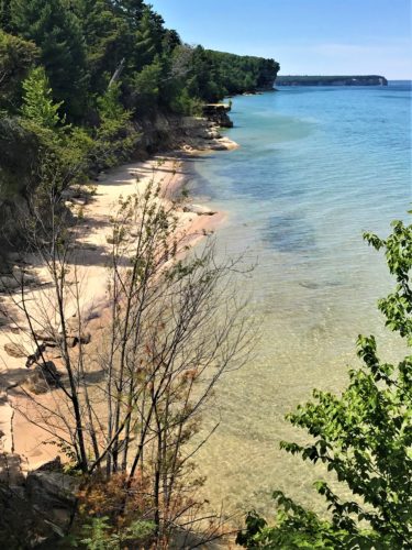
But here’s the picture he was able to take from out there.
We couldn’t have gotten that from the trail.
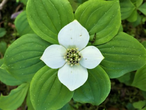
Now that we’ve moved into summer, flowers on the trail are getting more scarce.
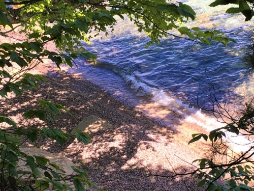
Believe it or not, that’s pollen!
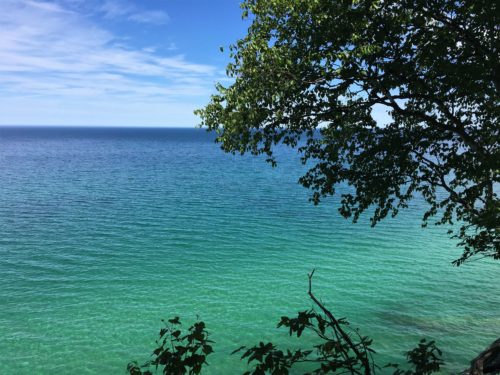
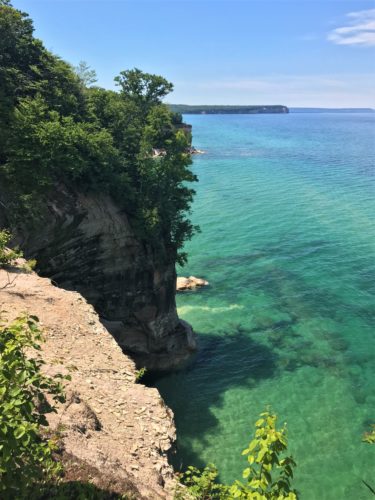
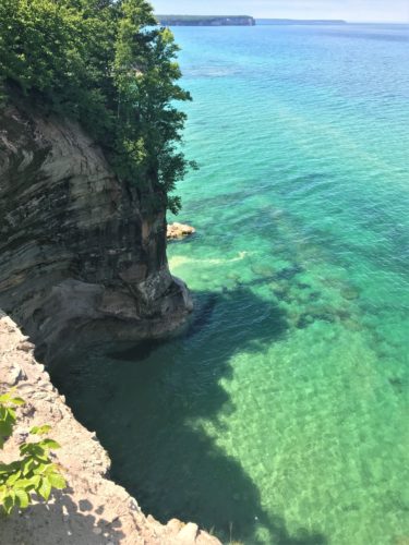
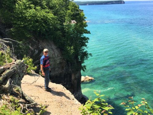
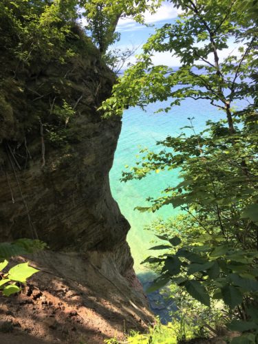
Neither of us did anything crazy to get this picture, it’s right from the trail!
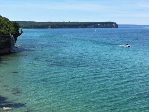
After four miles, we reached “Spray Falls”.
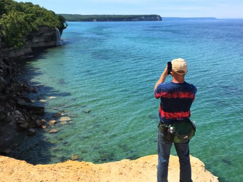
Spray Falls, upper left corner of the picture.
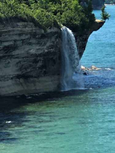
That’s better!
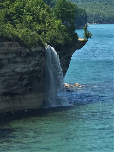
That’s even better!
The National Park tells you that the best view of this waterfall is from a boat, aka buy a scenic boat ride for about $40/person if you want to see it.
We took the boat a few years ago, so we decided this was good enough. : )
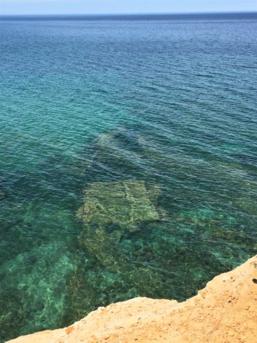
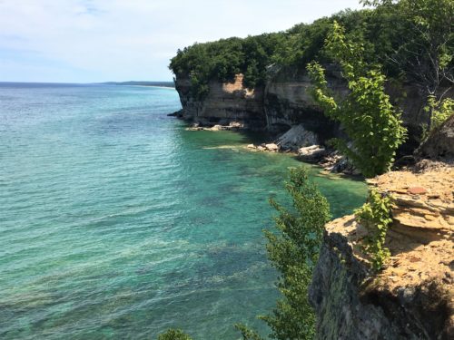
That’s where we came from.
We decided to go in search of even better pictures. In other words, we set out to see if we could prove the Park wrong. : )
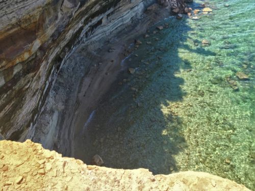
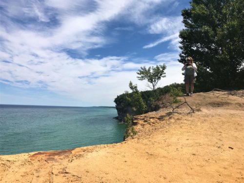
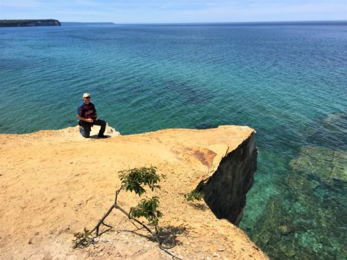

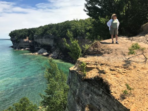
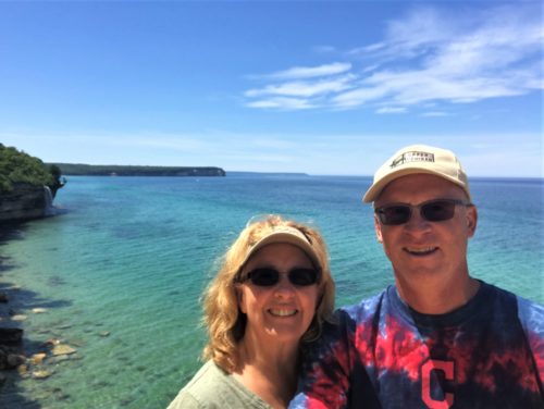
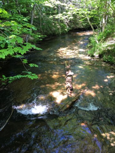
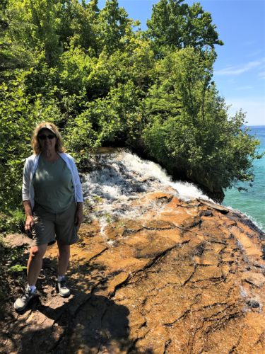
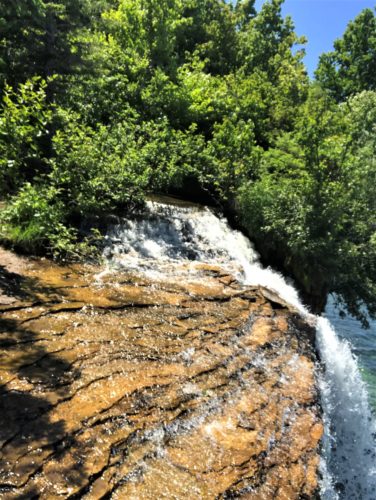
We found the Spray Falls contributing river!
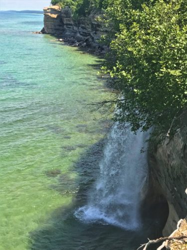
There it is! From the other side!
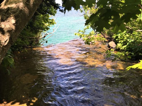
And we found where it goes over the side!
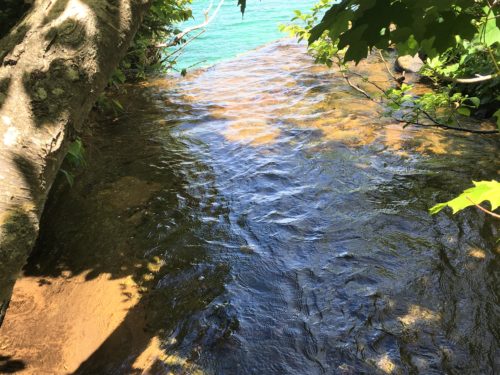
Yeah. It’s off-trail, but that’s where the fun is!
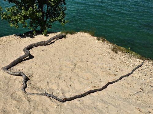
Look! A giant black snake!
Well, I thought it looked like one anyway. : )
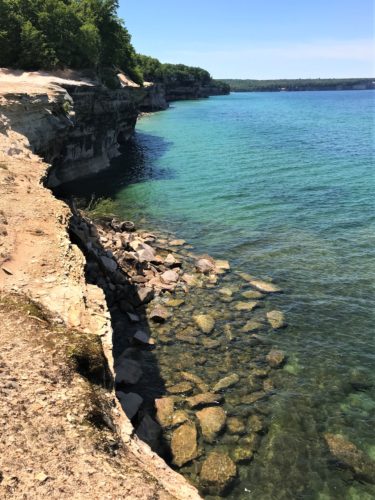
We crossed the river to check out the other side.
It was nice, but the other side was better.
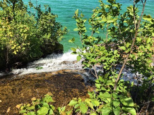
. . . . and ultimately we got closer to the edge.
Probably the Park wouldn’t approve . . . . 🙂
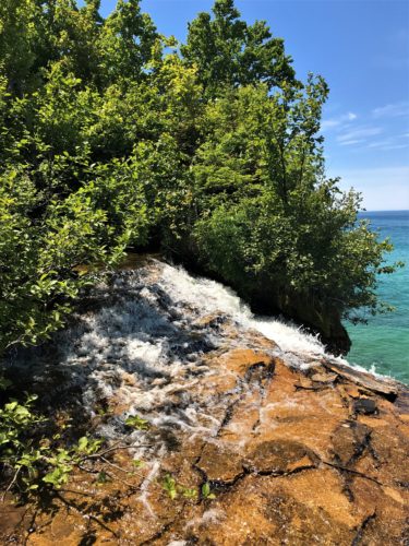
Just to let you know, we took a lot of pictures here, but that’s because it was such a great place!
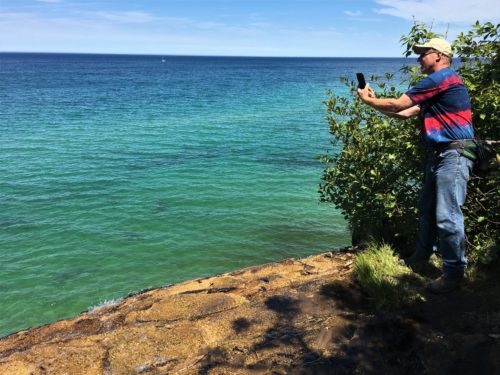
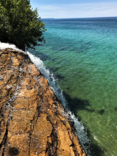
This is the picture he took.
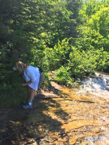
Checking out the yellow flowers.
Blaine took another picture from a different angle that was FAR less flattering.
I got rid of that one. : )
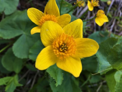
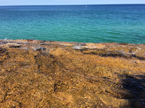
This is the river going over the edge.
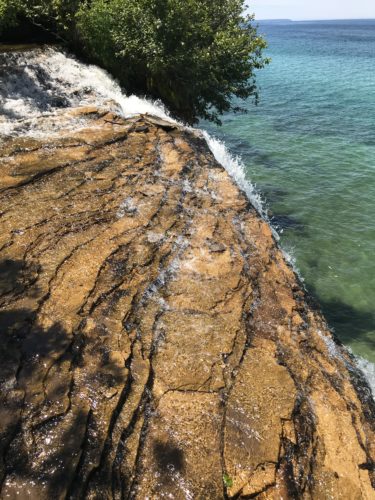
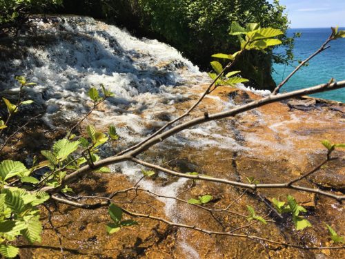
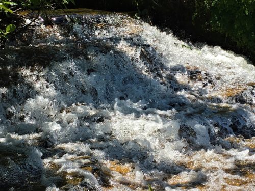
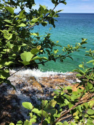
Okay, we’re done playing here. We had to make a decision about what to do next.
Chapel Rock was only about 1 ½ miles further, but we had to think about the return. We were up to eight miles total already and an additional 3 miles was just more than we wanted to tackle today. The trail was more rugged than we were expecting, which also adds time and contributes to fatigue to the trip.
So off we went – heading back the way we’d come.
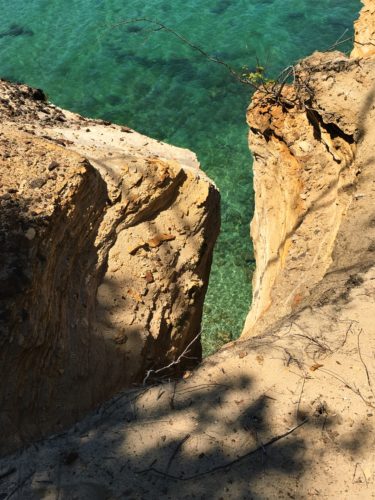
It amazes us that the trail actually gets this close to scary places.
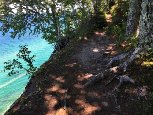
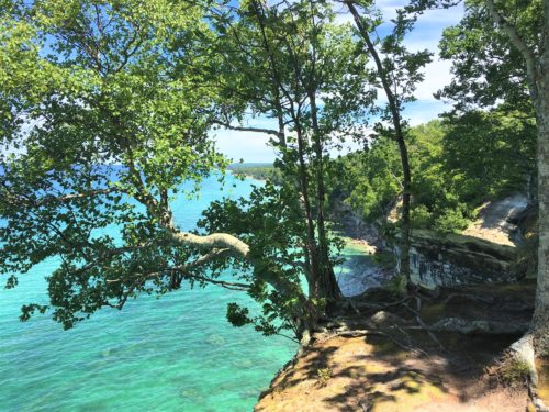
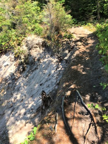
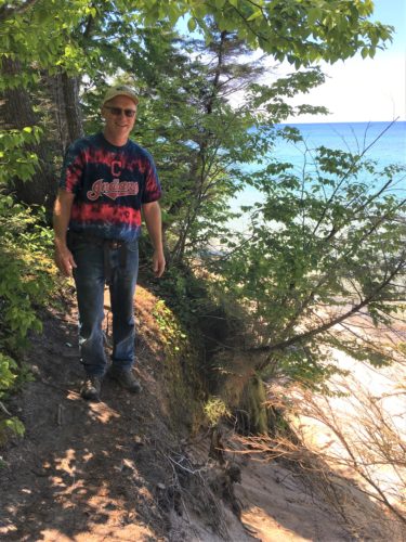
You can see better in this picture exactly how close to the edge the trail is in some places!
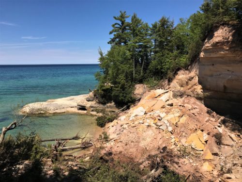
There’s our spot again!
And just in time for a chocolate chip cookie, warmed by the sun!
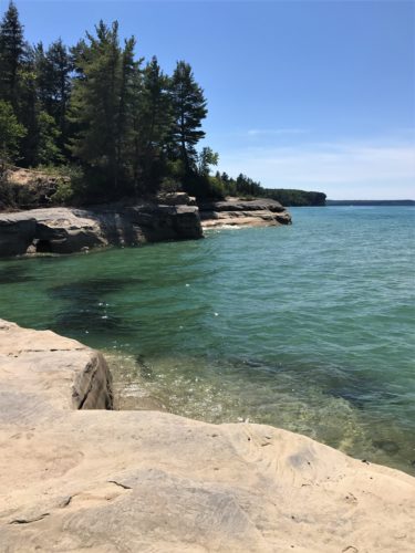
Unfortunately, it wasn’t quite as wonderful this time, as there were these biting flies who didn’t seem to care that we had Deet on. : (
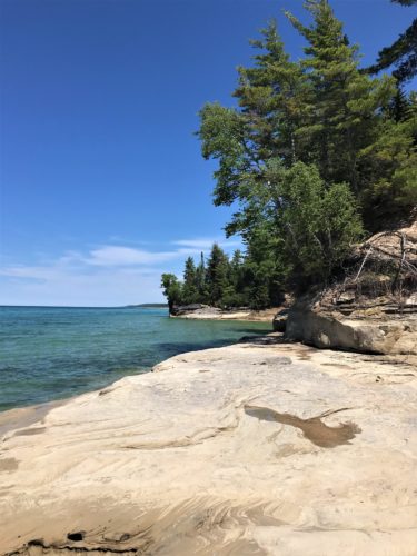
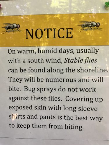
Well, no wonder!
Since it was so late in the day, Blaine wanted to check out the lighting at the overlook we visited the other day.
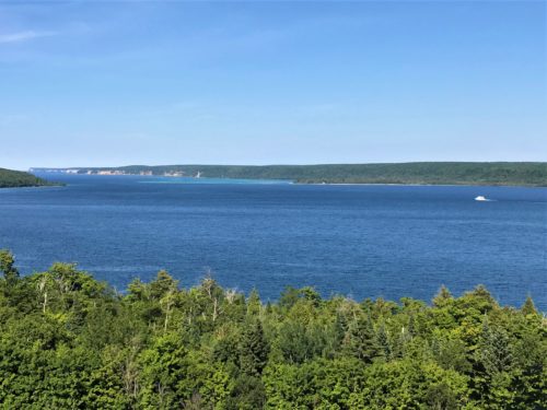
Stunning!
Ten miles and five hours later, we’re ready to be home! Simple dinner of hot dogs tonight. We were tired!
But we couldn’t have asked for a more beautiful day! Thank You, Father!
At bedtime, we discovered that the campground, for whatever reason we can’t fathom, has found it necessary to install low spot lights throughout the campground. And I do mean, bright spotlights! I don’t know how the tent campers sleep at night! It was like daylight in our coach, but at least we had tricks we could pull out of a hat (or maybe they were up his sleeve) to make things relatively dark for us.
