Wawa RV Resort and Campground, Wawa, Ontario, Canada
Follow God’s example, therefore, as dearly loved children and walk in the way of love, just as Christ loved us and gave Himself up for us as a fragrant offering and sacrifice to God. Ephesians 5:1-2
Where to start?
Why at the beginning, of course!
It was a really foggy drive, but as you’ll see, the day cleared out nicely!
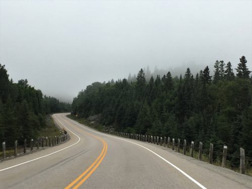
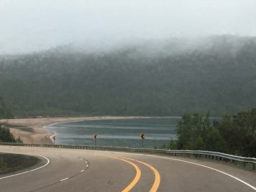
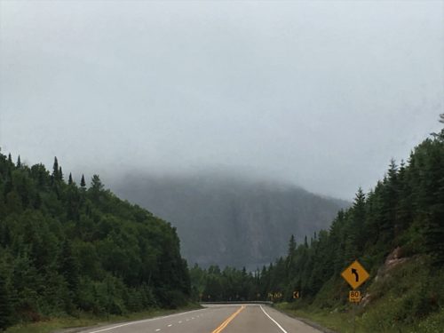
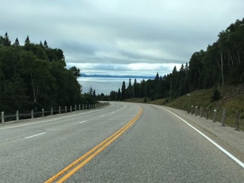
In some places, the fog’s already lifting. : )
Blaine had our day all mapped out and in order when we left about 8am, and we were able to follow it. We like it when that happens. Although there was a snafu when he realized he’d left his list at home, he was able to revive it with a map from the Visitor Center.
Once we got in.
Or more accurately . . . .
once we got back in.
Lake Superior Provincial Park is huge. It’s 600 square miles and fifty-two miles of Hwy 17 (the Trans-Canada Highway) runs through the Park, which begins 10 minutes south of Wawa.
Unfortunately for us, the main Visitor Center is near the southern end of the Park. So that explains the time confusion you’re about to encounter. . .
We arrived at the VC at 8:45am, walked up to the door, and went inside. After looking around for about 5 minutes, Blaine went up to the desk to buy our day pass. The girl at the counter says, “We’re not open until 9. Were the doors unlocked?” Well, duh! How do you think we got in??? We had to leave, but couldn’t start our day without that pass, so we walked down to check out the beach out back.
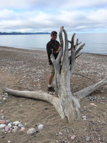
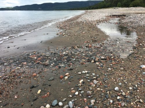
A river making it’s way to Lake Superior.
We eventually got our pass – and map – and could be on our way. 😊
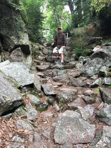
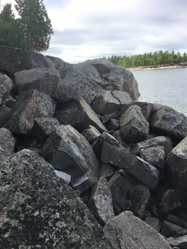
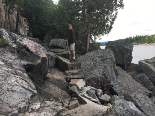
Our first stop were the Agawa Rocks Pictographs. Let me tell you – they were not easy to get to! Not the one-mile round trip trail, nor once we arrived at the rock where they were painted.
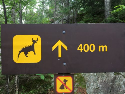
Not sure I want to see one of those! : )
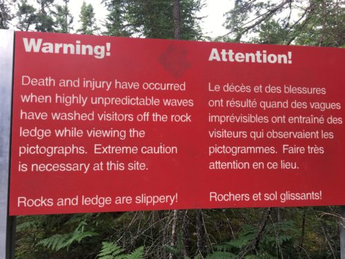
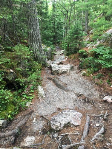
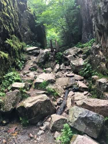
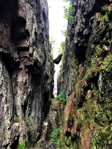
Look at that wedged rock!
They wouldn’t let us out there though. In fact, it was blocked off so high that even Blaine couldn’t scale it. : )
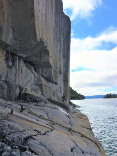
That’s where the pictographs are. On that rock face.
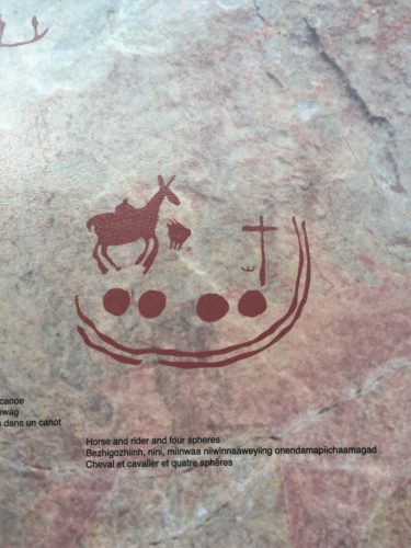
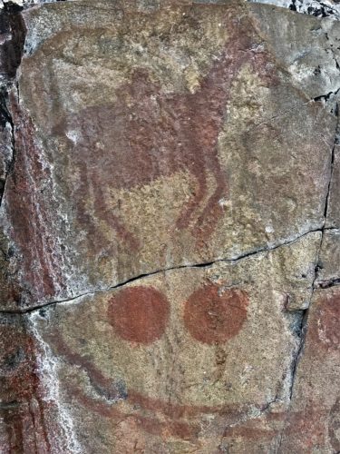
This is a sacred Ojibwe site. The information boards found here tell us that the images include canoes and familiar animals such as moose, deer, bear and caribou. Then there’s this horned/spiny creature, which is said to be Misshepezhieu, the Great Lynx, the spirit of the water. Misshepezhieu could work for or against humans – he could calm the waters, or he could bring wind and storms by thrashing his tail.
Dating from the 17th or 18th centuries (that’s 1600’s or 1700’s!) and painted with red ochre (made from powdered haematite rock, mixed with fish oil or animal fat), they’re remarkably durable, having withstood the ravages of sun, wind, waves and ice for several centuries. But they are fading. I don’t know if there’s a plan to try to repair them or not, but they should!
Oh. And you can only view them when the Lake is calm. We were blessed to find it calm this morning.
Even so, I was uncomfortable out there, and didn’t view them all. Maybe because the water was so deep. It’s a straight drop into the Lake if you slide off the ledge. Needless to say, Blaine took all those pictures. I just took pictures of him taking pictures. 😊
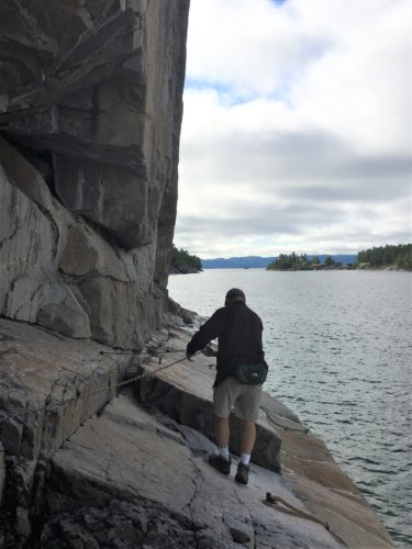
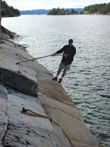
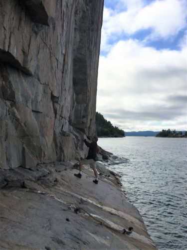
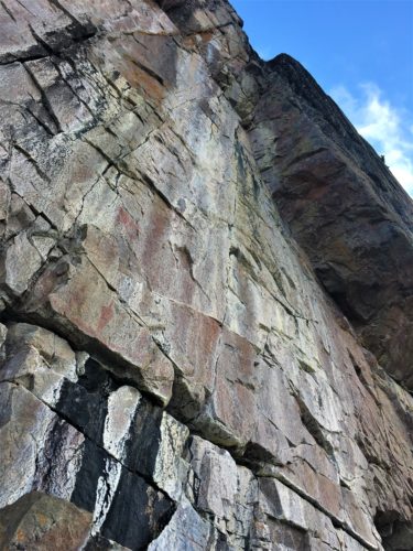
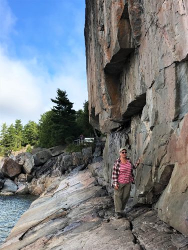
See there!
I did manage to go out a little ways, but I didn’t like it. : )
And I took pictures of the pictures on the information board. I’ll happily pair them for you. Board pictures first, then Blaine’s.
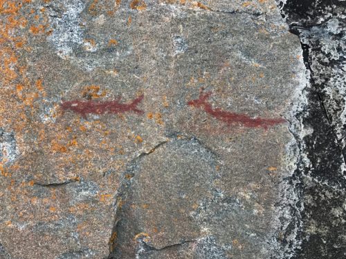
Blaine’s picture. But he didn’t see the canoes.
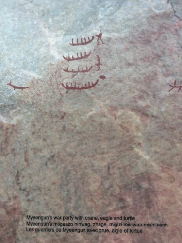
I took the canoes, but not whatever the two creatures were. although one of them is on the far left.
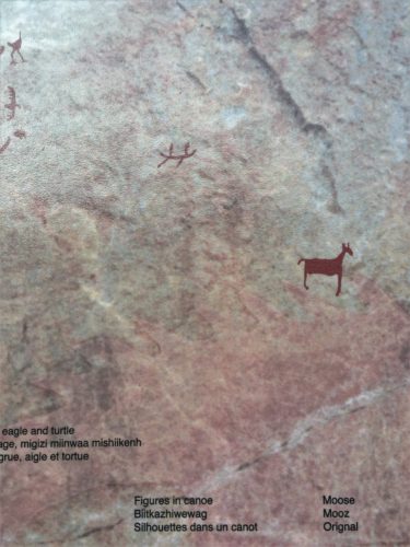
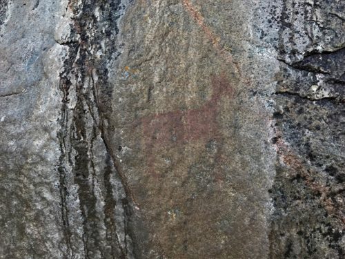
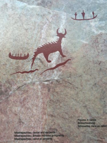
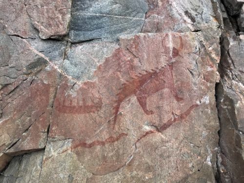
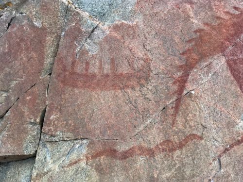
A close up of the canoe
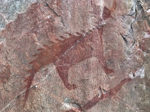
A close up of Misshepezhieu
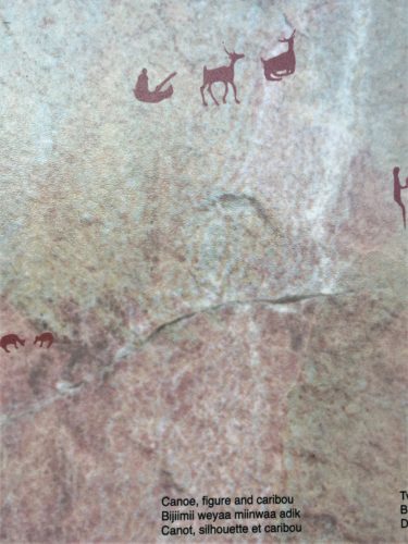
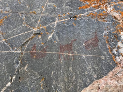
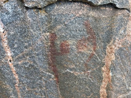
I don’t have a picture of the two figures who look like they’re playing ball. : (
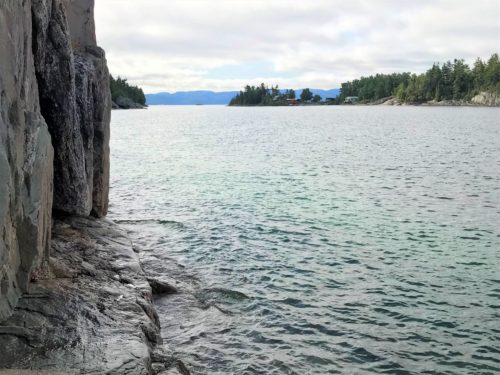
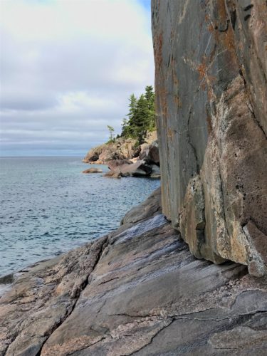
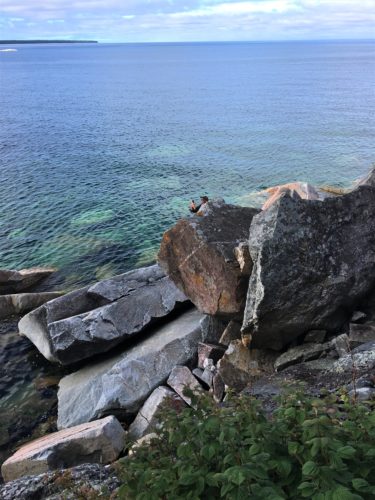
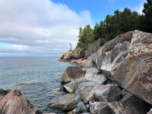
Blaine crossed over boulders to get some views from the water.
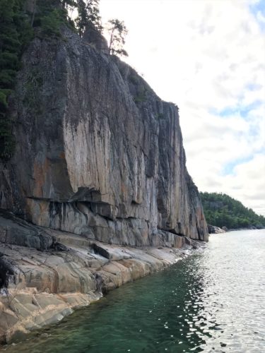
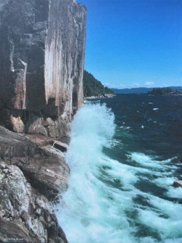
This is a picture showing why you can only view
on calm days.
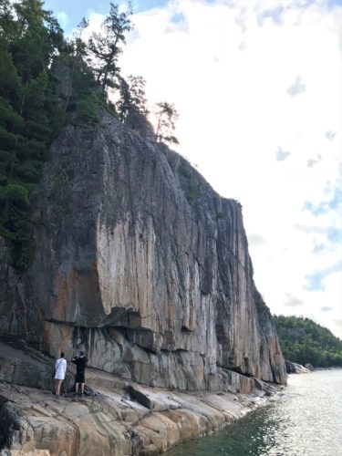
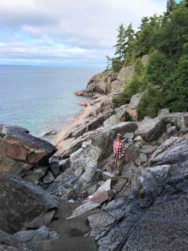
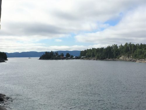
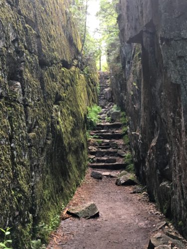
On the way back up.
It’s a loop trail.
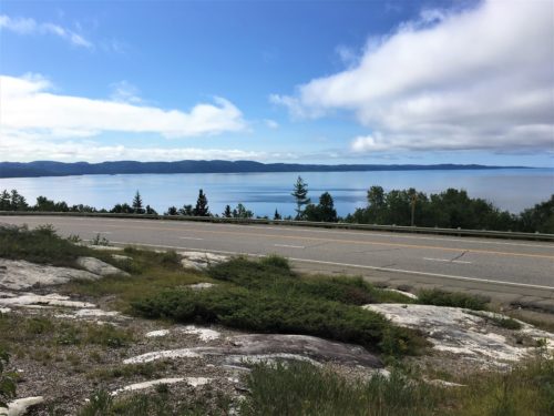
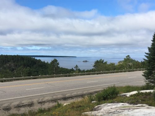
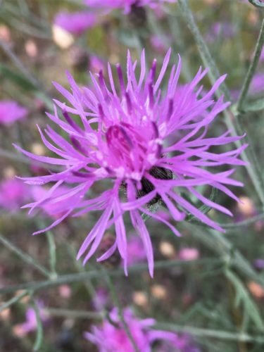
There was a scenic overlook just down the road that was up pretty high, so Blaine pulled in. Not particularly for the overlook, but so he could try to pick up cell service so he could check his maps and whatever else he was doing. I wandered around outside taking random pictures. 😊
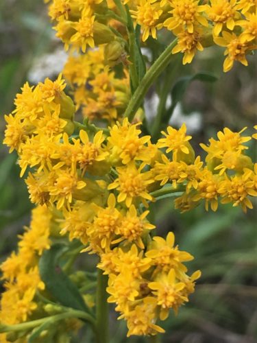
That’s goldenrod.
I’m sure all those with allergies, don’t find this nearly as nice as I do.
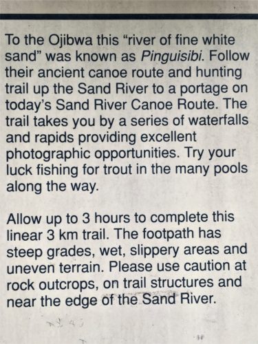
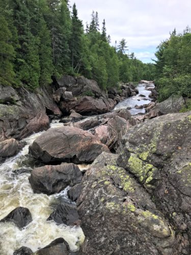
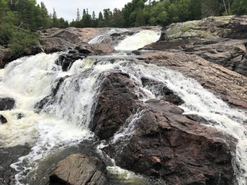
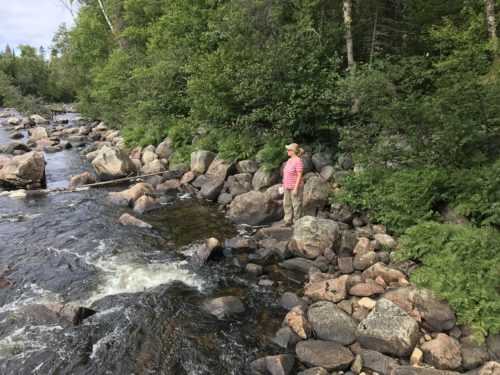
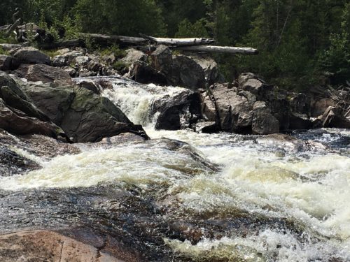
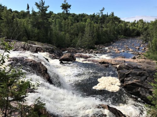
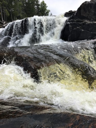
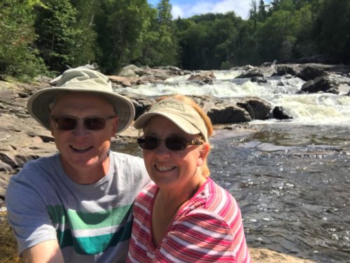
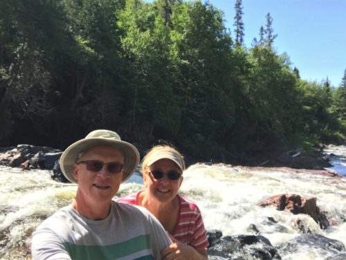
Up the road in the direction of home, was the four-mile round trip Pinguisibi (aka Sand River) Trail, where we encountered three separate waterfalls! Each was beautiful in its own right!
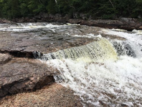
We have lottttss of pictures from this trail, and little commentary. Scroll through them as fast or as slow as you like. : )
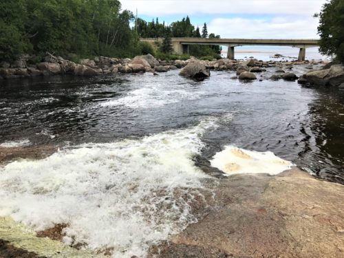
You can see Lake Superior on the other side of the bridge.
Remember this picture though, because when we returned, the sun was shining!
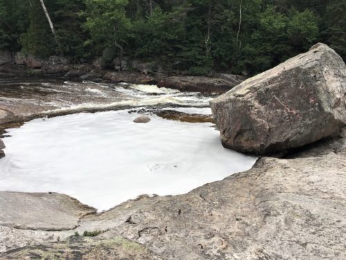
This is NOT one of the waterfalls. We have to hike to see those. This is right by the parking lot.
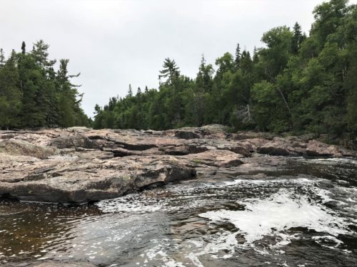
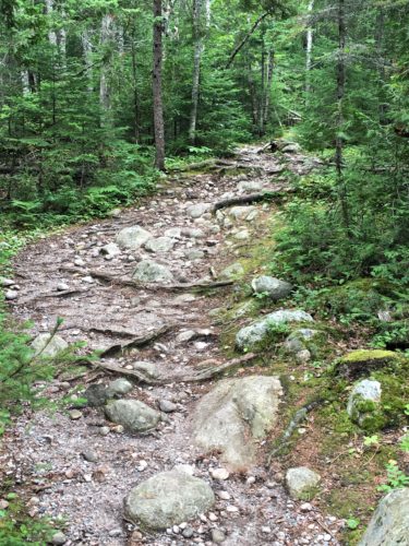
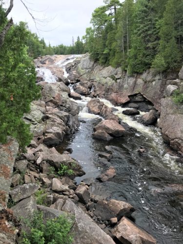
Up there’s waterfall #1.
That’s where we’re headed.
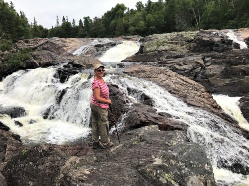
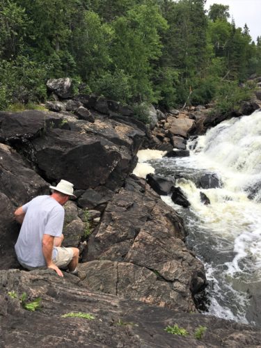
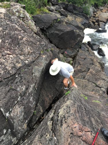
He’s heading down to get a close up.
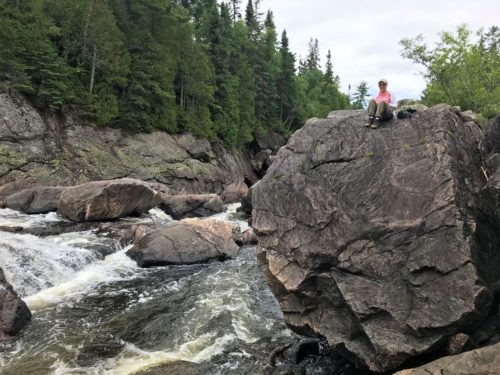
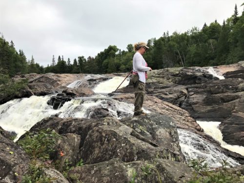
And here I am, waiting for him to return.
I’m not really that close to the edge, it’s a camera optical illusion. Trust me.
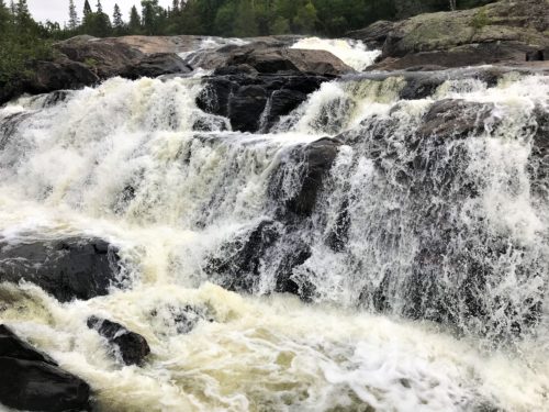
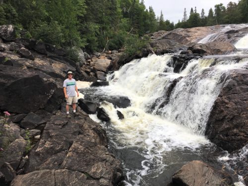
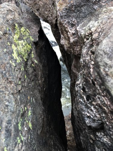
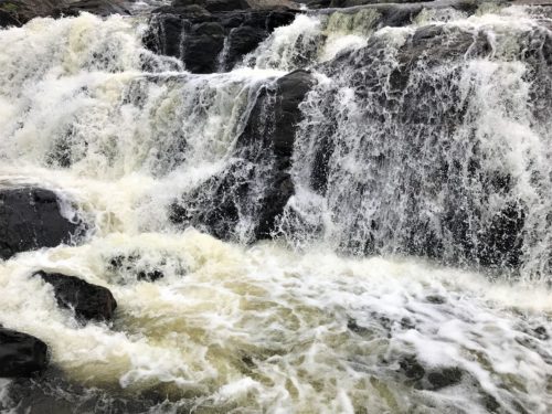
The return . . .
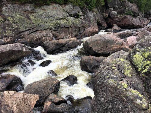
The top of the waterfall we were just at.
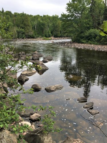
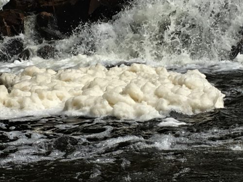
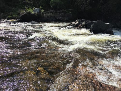
Can you believe this river makes all that white water?
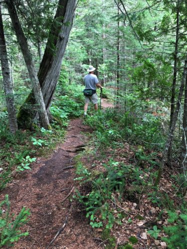
Hiking to the next.
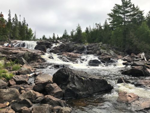
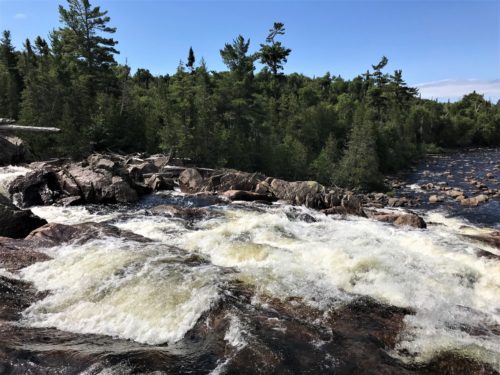
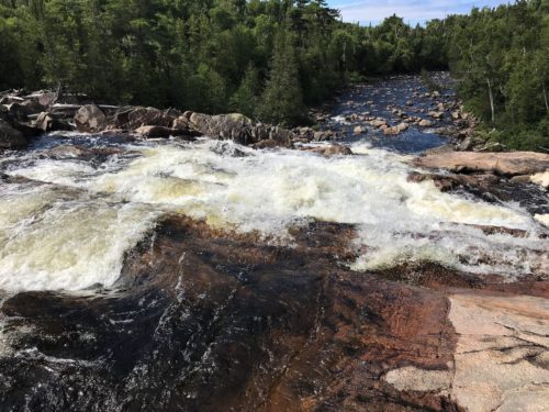
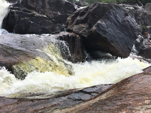
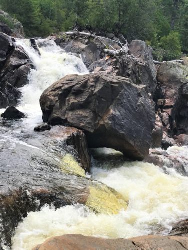
Waterfall #2
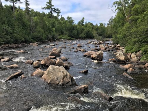
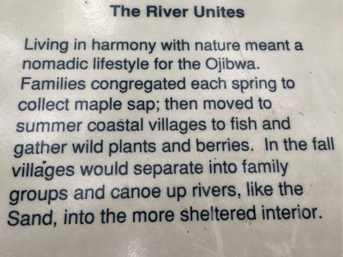
A sign along the way.
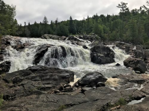
Here we are.
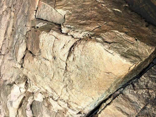
This rock actually looked gold!
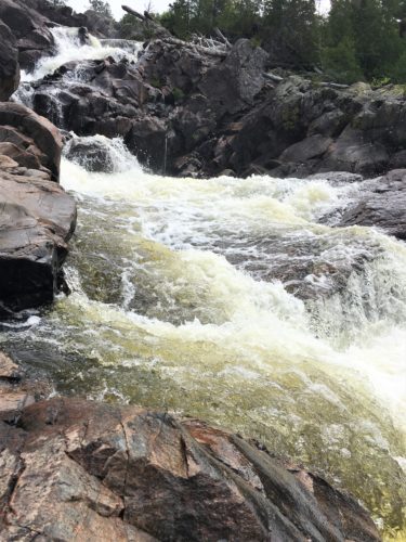
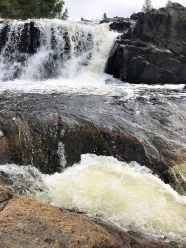
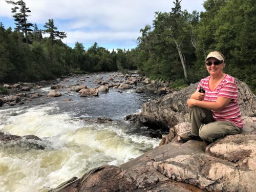
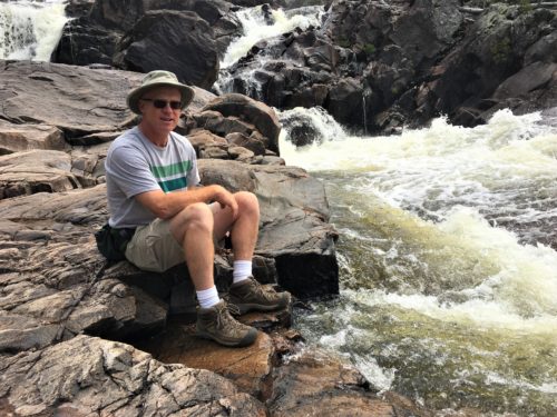
Being as how this is a river, you can get right to the edge without worrying about anything changing.
Very cool!
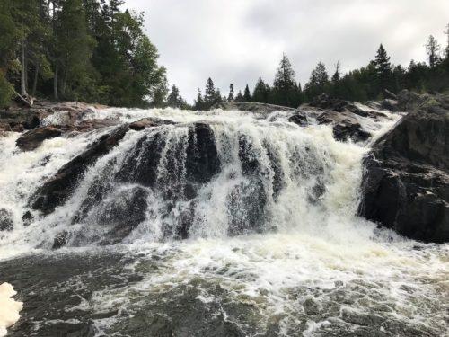
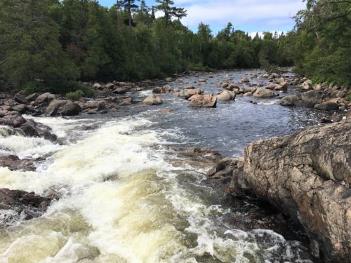
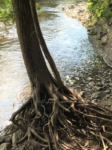
How does it stay standing, let alone thriving?
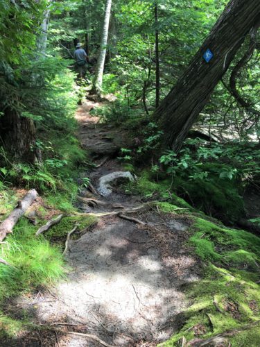
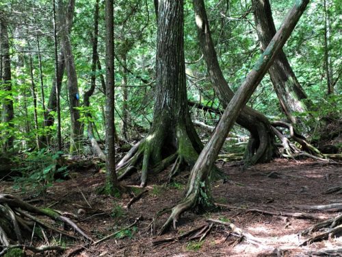
Can you spot the blue trail marker?
Yeah. It was interesting getting from point A to B sometimes. : )
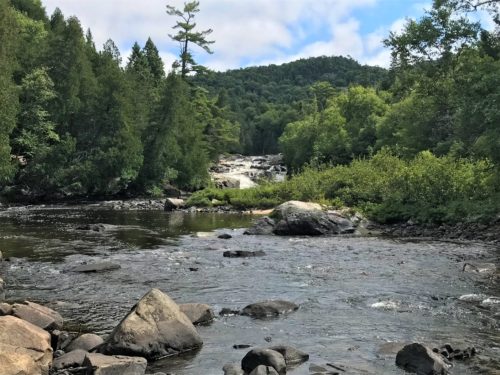
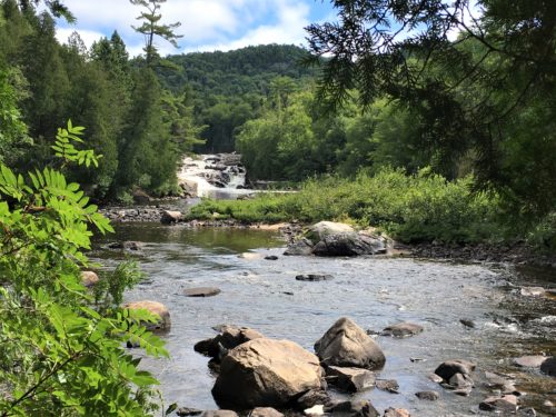
There’s #3!
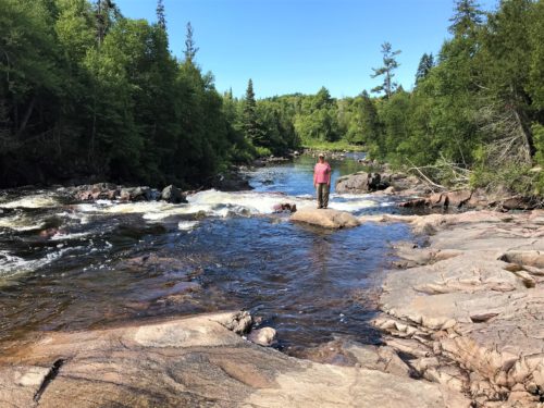
Blue sky!
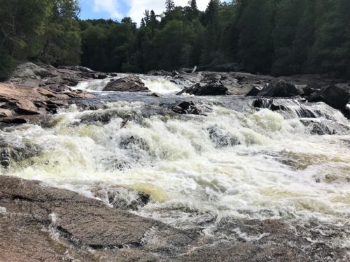
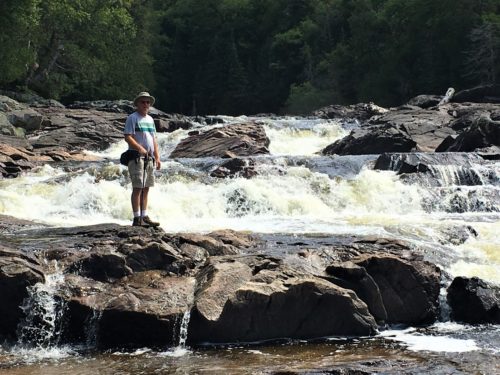
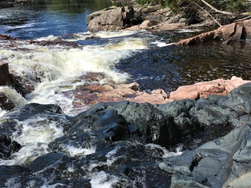
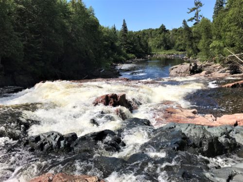
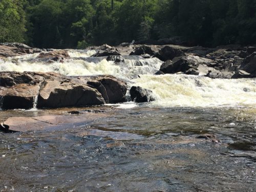
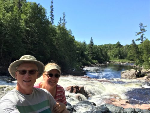
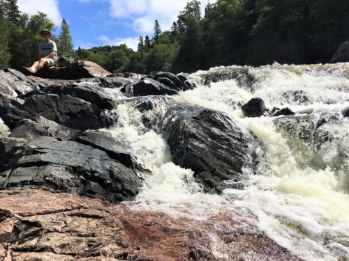
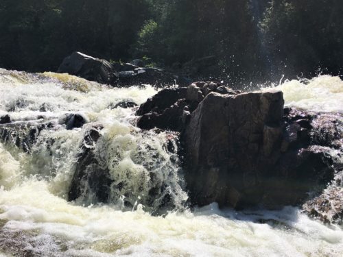
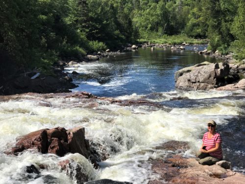
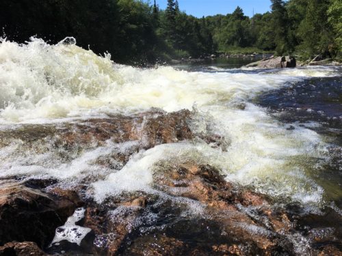
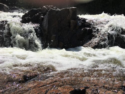
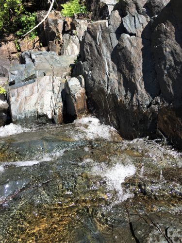
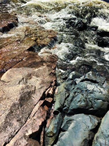
It’s fascinating to us how these two completely different types of rock butt up against each other.
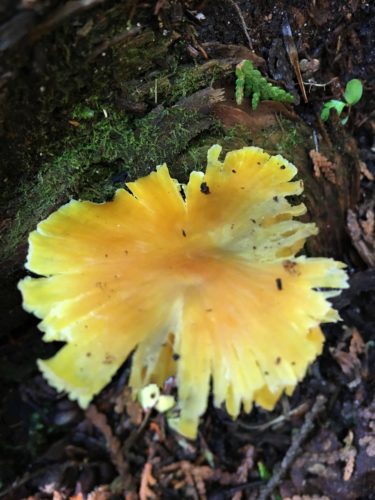
Heading back down to the Jeep on the same trail, we came across this frilly mushroom.
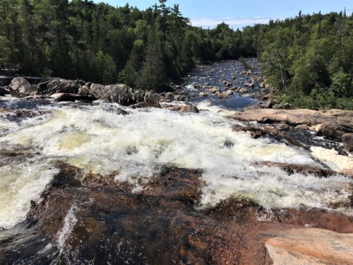
Since the sun was shining now we re-visited the falls again.
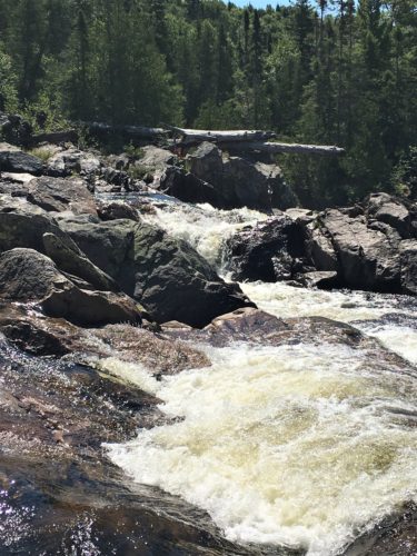
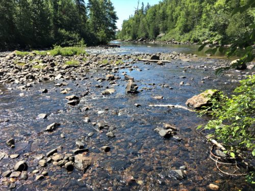
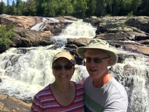
Number 2, in the sunlight.
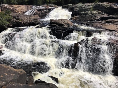
Number 2
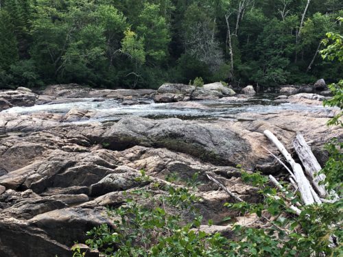
There were places we didn’t explore at our first stop – before the actual waterfalls started.
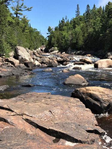
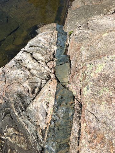
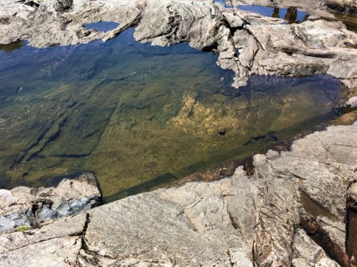
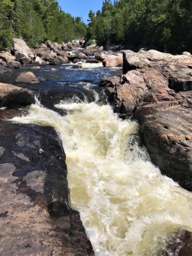
Upon our exploration, we don’t know why this one didn’t count as a waterfall.
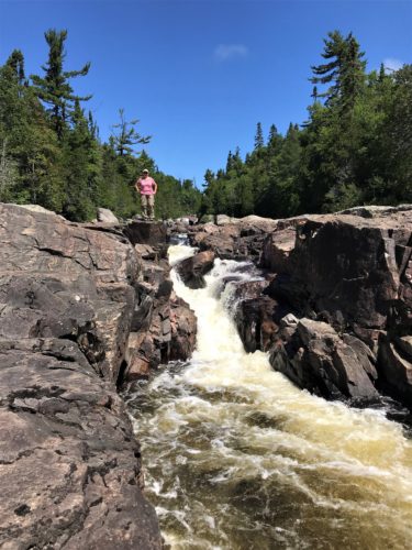
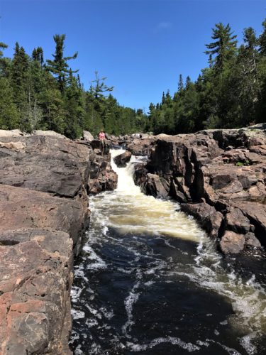
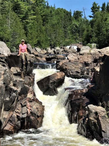
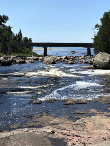
There’s the picture I told you to watch for!
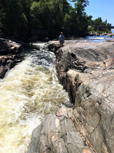
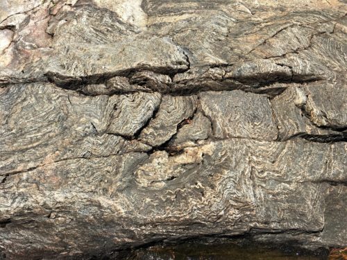
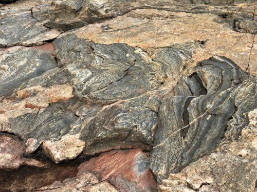
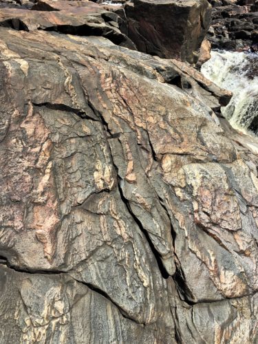
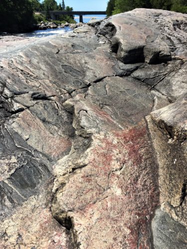
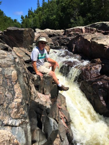
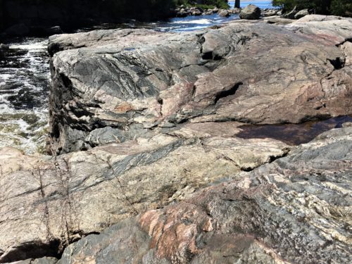
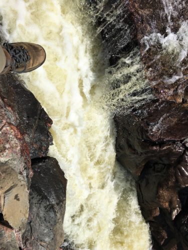
Not nearly as scary as it looks, but a great picture, yes?
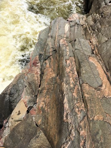
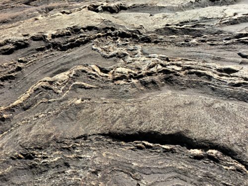
I can’t get over how beautiful rocks can be!
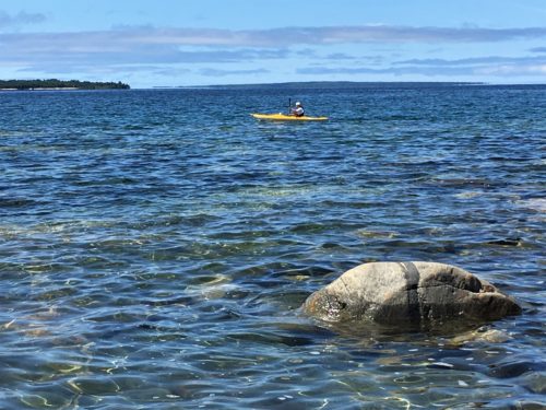
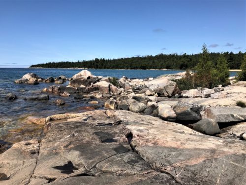
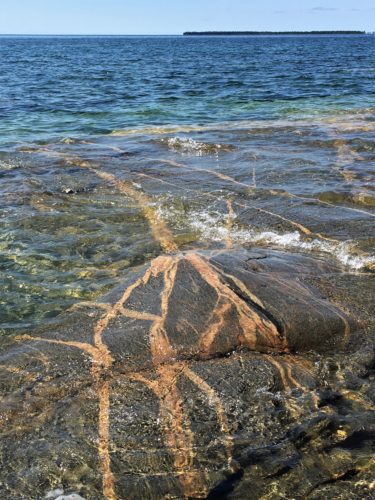
Lunch was partaken at Katherine’s Cove and was lovely and peaceful – – until the little kids showed up. There’s nothing peaceful about 2-5 year olds running around over the rocks right behind you. It was time to move on anyway. I’m sure they had a wonderful time. 😊
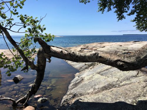
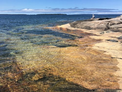
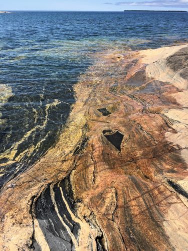
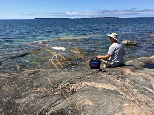
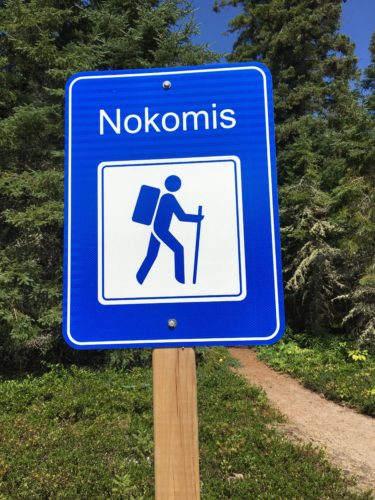
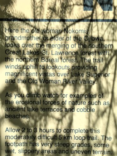
Bodies refueled, we were ready to tackle the three-mile round trip Nokomis loop Trail.
Blaine read details about this one, and learned that you should hike clock-wise, so we did. The description of the trail the Park gives you mentions there’s a steep descent. Going the way we did, ours was a steep (and I mean steep!) ascent. But as difficult as that could sometimes be (I think we climbed the entire 650’ like a staircase!), it was still better (as in easier on these older bodies) than going down that way. Our descent was much more gradual.
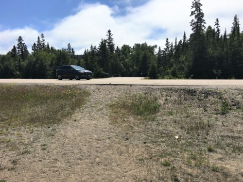
We had to cross the four-lane highway to get to the trail.
Doesn’t seem very safe does it??
Especially when we returned and a semi was parked on the side of the road blocking the left-hand view!
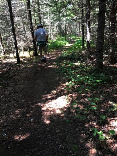
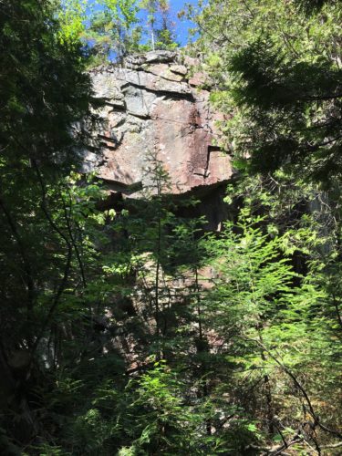
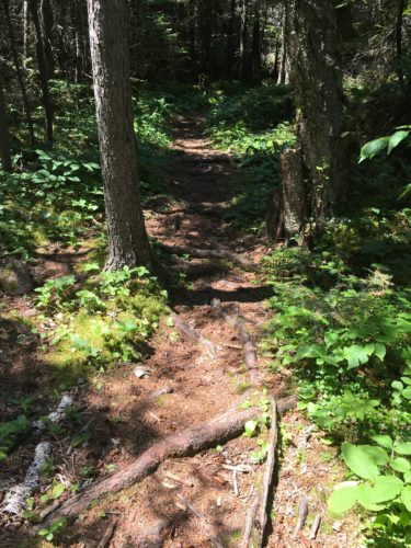
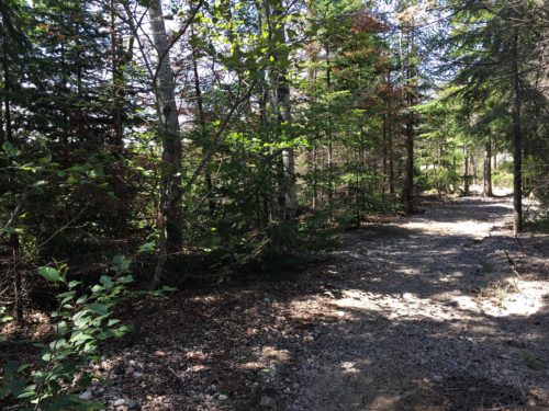
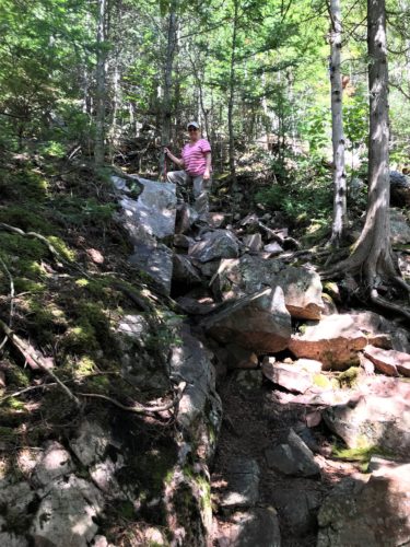
Once we started climbing, I stopped taking pictures. Had to keep the momentum!
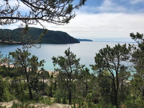
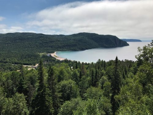
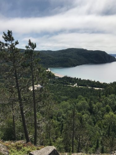
Our first view! That’s Old Woman Bay.
And Blaine says, I think we’re done climbing.
He was wrong. Several times. : )
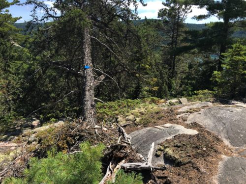
Occasionally, the trail wasn’t marked real well, and the open areas were large enough, it made finding the next section a bit tough.
It didn’t help that all the signs were on the backs of the trees for us, since we were going backwards. : )
About halfway through the trail, at one of the overlooks, it was cookie time! Our token gooey chocolate chip reward for a job well done. I was standing in the middle of a good-sized rock plateau, minding my own business as I savored every tiny bite of cookie I took. I was relaxed and looking at the view.
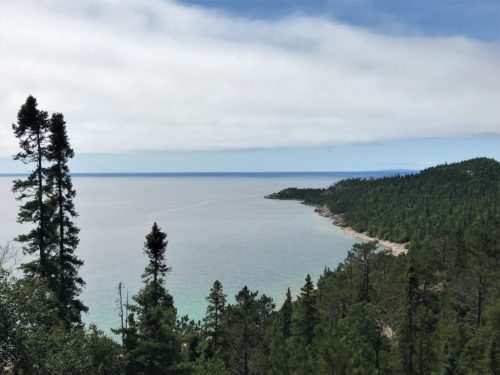
Suddenly . . .
I experienced searing pain in my dangling left hand ring finger! I shook my hand violently, and while I didn’t scream, I did inhale so sharply that Blaine almost passed out from sudden oxygen deprivation! I’m assuming it was some kind of bee, but why the sting?? I was doing absolutely nothing with that hand!
Blaine’s a great first responder, telling me to remove my wedding ring and hold the half-frozen bottle of water we had with us.
By the way. I managed to hold on to what was left of my cookie and was able to finish it after the ordeal passed. 😊

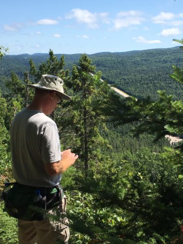
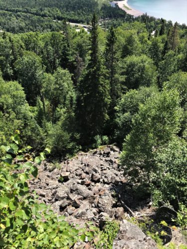
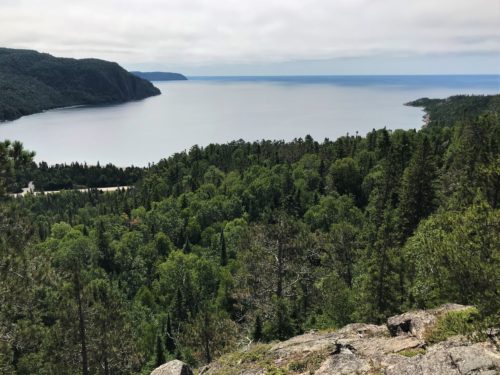
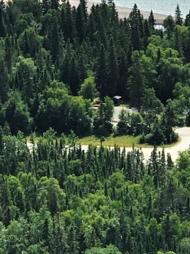
That’s our Jeep down there . . . see the orange roof?
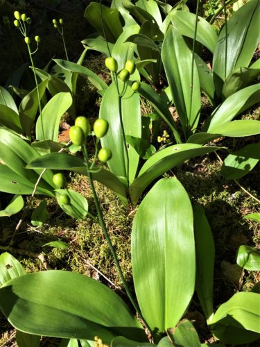
Remember these from last month?
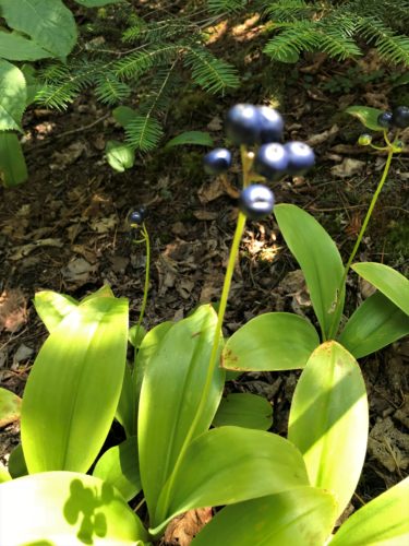
This is what they turn into!
I know the pictures fuzzy, but you get the idea.
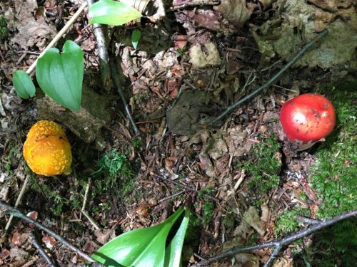
For some reason, our phone’s seem to be programmed to focus on the color green.
Not too long after, we encountered a group of male and female twenty-somethings going in the opposite direction – none of whom seemed to be fans of deodorant. The strong scent lingered in our noses for probably a good 10-15 minutes. Uck!
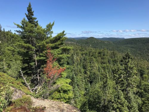
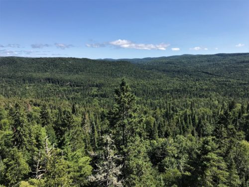
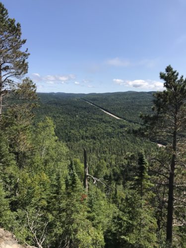
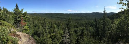
Trees!
As far as the eye can see!
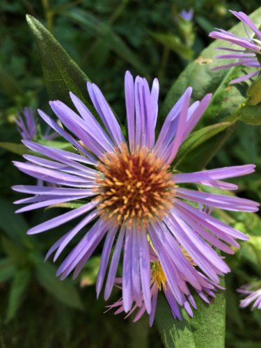
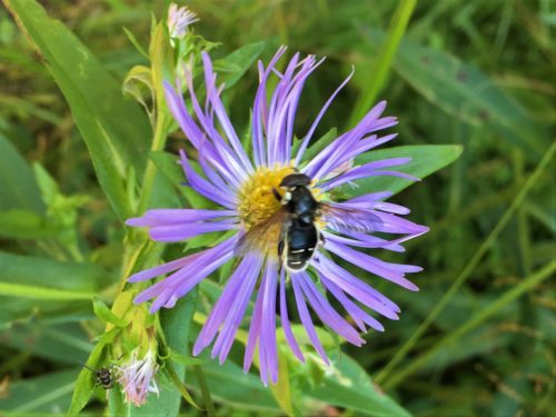
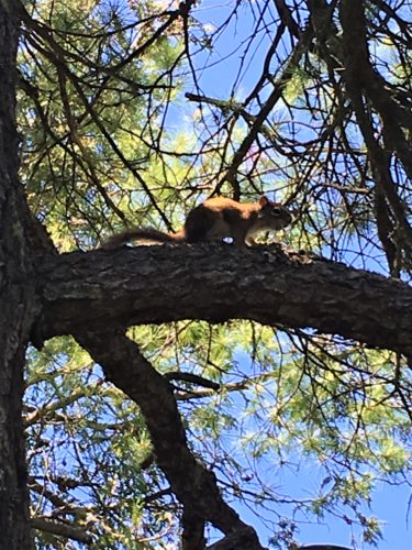
Do you suppose that’s what bit me?
I have no way of knowing.
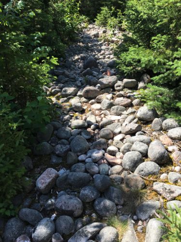
On the way back, we had to hike over this area that reminded us of Pebble Beach! It looked like someone had filled dump trucks from that beach and dropped them in the middle of our trail! But I have to say, it was easier to walk on Pebble Beach than it was this trail. I don’t know why.
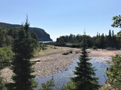
Old Woman River, on it’s way to Old Woman Bay.
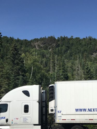
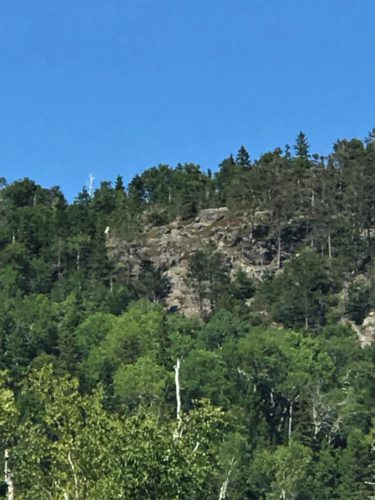
Yes, this is the semi, but it’s mostly a picture of that rock up there.
That’s where we were standing when Blaine took the picture of the top of the Jeep.
To end the day, we walked behind the parking lot to take a quick look at Old Woman River where it meets Old Woman Bay. Supposedly you can see an old woman’s face somewhere here, but we didn’t. Maybe it requires proper lighting?
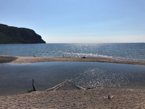
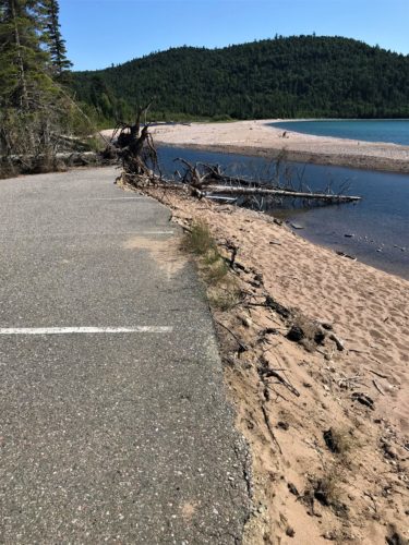
They had to close this parking area . . . . lost to the elements.
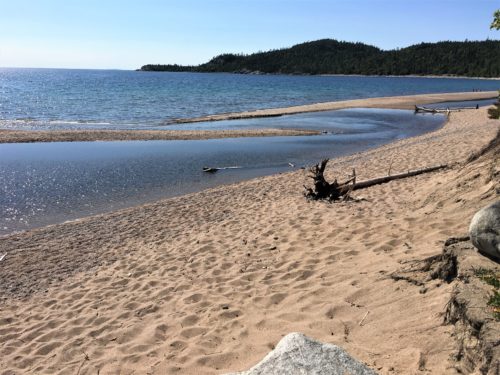
Where the river meets the Bay.
I was mistaken when I said this ended our day. We actually made one more stop to check out the entrance to where we’re going tomorrow. It’s quite a hike down to the boat launch area! But we should be able to manage it.
Tomorrow we’ll rest our legs and kayak!
