Aune-Osborn Campground, Sault Ste. Marie, Michigan
Therefore encourage one another and build each other up, just as in fact you are doing. I Thessalonians 5:11
There’s lots of farmland just beyond the town here. It was a bit surprising to us, especially since it seemed to happen so suddenly.
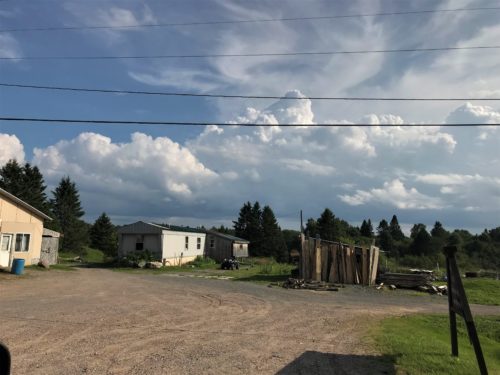
Cool clouds!
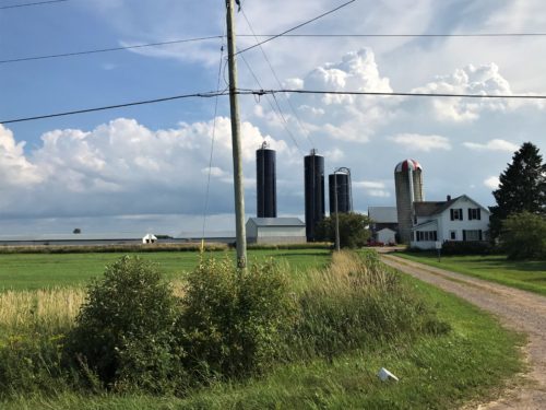
This farm looks like the dark blue silos are fairly new.
If that’s the case, it’s unfortunate the middle one is already leaning.
We headed northwest today, to a place called Whitefish Point, and made several stops along the way – some planned, some not.
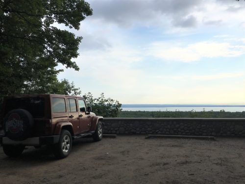
Our first unplanned stop was a detour to the Mission Hill Cemetery and Scenic Overlook. We drove past a sign and decided to turn around and check it out. Shortly after we made the turn, there was a sign, “RVs not recommended on this road” Good thing we were just in the Jeep! 😊
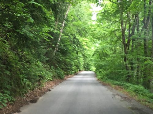
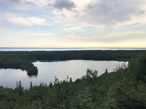
The Scenic Overlook
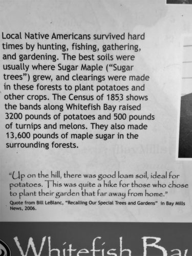
From an information board at the overlook.
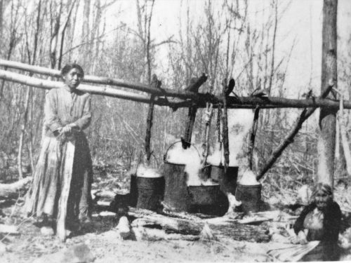
Early 1900s photo of Native Americans boiling Maple sap to make sugar and syrup.
The cemetery was on the other side of the road.
It was a bit of a different cemetery from ones we’ve seen in the past. We started out with the intention of walking around . . . .
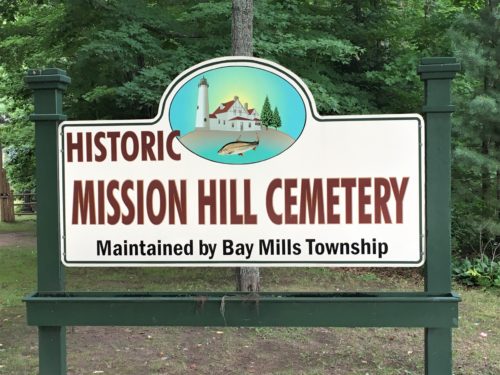
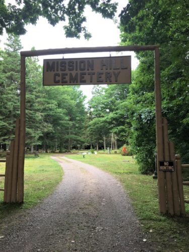
Don’t think we’ve ever seen a “No Hunting” sign at a cemetery before.
What exactly, would you hunt for?
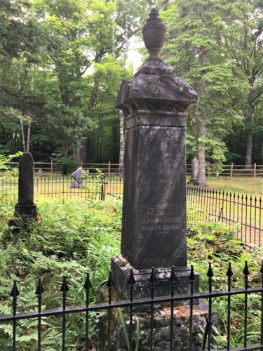
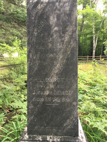
Can’t even hardly read it close up . . .
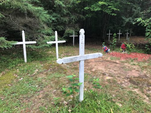
Based on what we’ve seen in the past, these are most likely Indian.
There are no names . . . not on either side.
. . . . but the mosquitoes found us and we high-tailed it back to the Jeep lickety-split! We drove around instead. Lucky you, there aren’t as many pictures that way. 😊
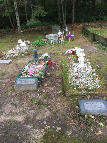
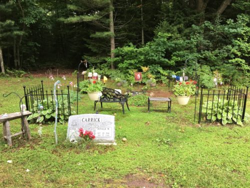
There are two sites here – the one in the front, and the “fenced-in” one.
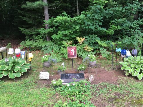
We thought this was a new site because of the condition of the ballcaps, but the marker says 2015.
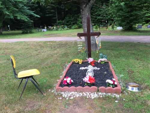
In front of the yellow chair and behind the red/white flowers, was a glass ash tray full of cigarette butts. . . .
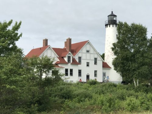
Back on the road, we made our first planned stop – the Point Iroquois Lighthouse.
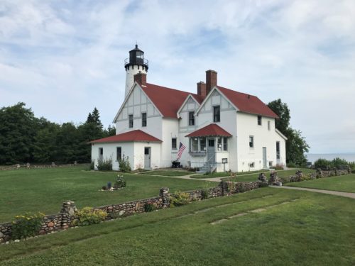
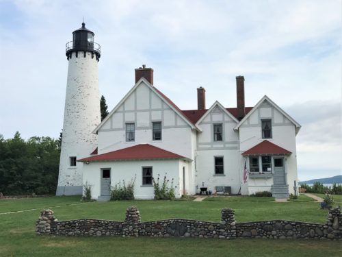
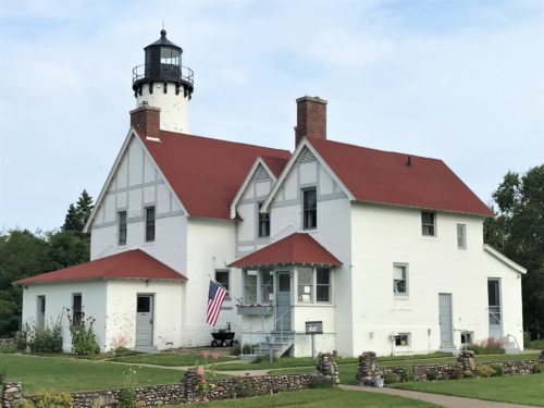
We learned that one of the lightkeepers built the decorative walls.
The name Point Iroquois references a battle that took place in 1662 between the local Ojibwa (also known as the Chippewa or Anishinaabeg) and an invading Iroquois war party. The Iroquois had invaded the area in an attempt to gain influence and dominate the fur trade, but the Ojibwa were able to defeat the Iroquois war party, thus halting their westward expansion. According to the Indian agent of scholar, Henry Rowe Schoolcraft, the Ojibwa called Point Iroquois “Nau-do-we-e-gun-ing”, which in their native language means “Place of Iroquois Bones.”
In 1620, the first white men to the area were French explorers Brule and Grenoble. From that time, Point Iroquois became a familiar landmark for the French explorers, fur traders and the missionaries who were to follow. Sault Ste. Marie was the first white settlement in what was later to become Michigan.
The discovery of copper and iron ore in 1844 necessitated a passage for ore-carrying vessels through the rapids of St. Mary’s River to the steel plants of the lower Great Lakes. In 1865, the St. Mary’s Falls Canal (commonly known as the Soo Locks) was opened. The locks have since become the most heavily used commercial shipping canal in the world.
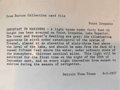
The first lighthouse and lightkeepers residence were built in 1855 and the light was exhibited for the first time on September 20, 1857. With the growth of traffic through the locks, the importance of the lightstation increased. In 1870, the wooden tower and residence were replaced with the brick buildings that stand today. The tower is 65 feet high. After 107 years of service, the light at Point Iroquois became history; it was replaced by an automatic light in the channel off Gros Cap, Ontario. ~ Hiawatha National Forest Service website
Even with the aid of the light and fog horn at Point Iroquois, ships occasionally foundered in the passage. Sixteen crewmen lost their lives in the freezing lake when the Steamer Myron went down in 1919 during one of the infamous “storms of November.” Finding the bodies as they washed ashore, lightkeeper Elmer Byrnes took them to an undertaker in the nearby town of Brimley. The undertaker would pay $10 a piece for “floaters.” ~ SaultSte.Marie.com
It’s a pretty lighthouse, and when we arrived, there was a couple (we discovered they were volunteers) there and he was playing a tune on his violin/fiddle. (Ever wonder what the difference is? Turns out, the instrument is the same, it’s the type of music that makes the difference. For example, classical vs bluegrass.) I think his was a fiddle, but the music he was playing was very soothing.
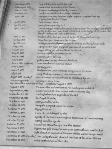
Hopefully you’ll be able to read these.
There’s a disclaimer underneath saying that it was copied just as the lightkeepers wrote it – errors and all. : )
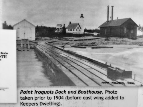
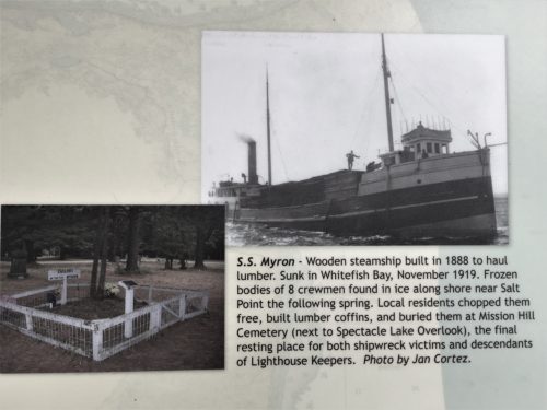
I saw this from a distance when we were driving around the cemetery.
Had I known what it was, we’d have a picture. : )
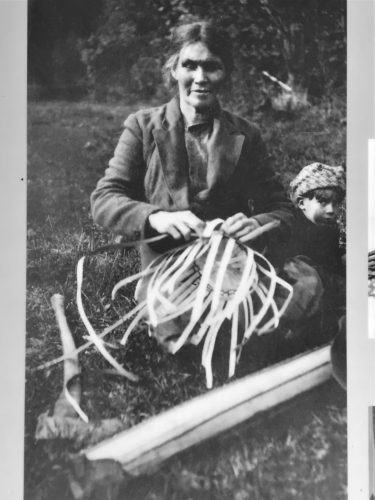
Basket weaver, Katherine Boulley
No date . . .
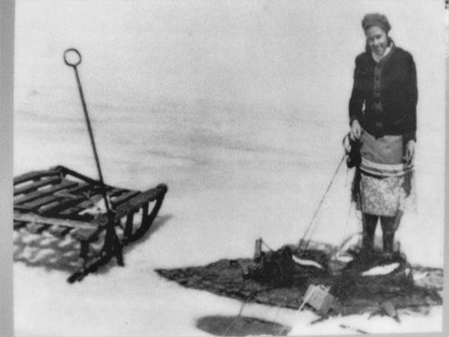
Hazel Parish Wilcox netting Whitefish through the ice in the early 1900s.
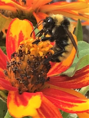
Are you impressed?
I sure was!


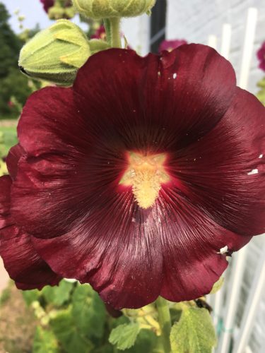
Another excellent example of how marvelously creative our God is! Notice the small flowers in the center that make up part of the pistil.

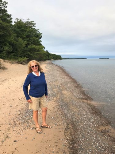
There was a small beach out back.
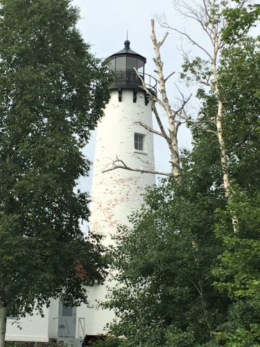
Inside, you’re able to view a couple of rooms representing the lightkeeper’s family life from the 1950’s.
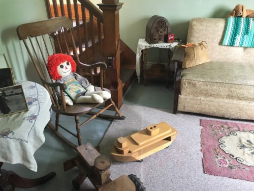
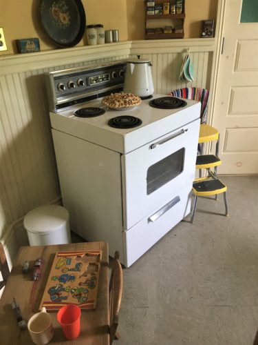
My mom still has a chair like that!
And today, it was open to climb the 74 steps to the light.
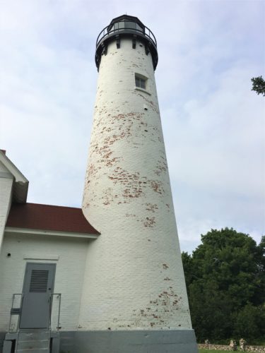
The door to get to the tower steps.
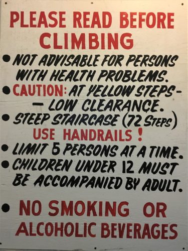
Up we went, with me in front and things were just fine, until I got to the top . . . and the first thing I see when I look up from the steps is this massive spider! I’m really surprised I didn’t knock Blaine down the steps in my rush to get out of there! He stayed and took pictures, like I yelled on my way down, but I guess I should’ve specified what kind of pictures.
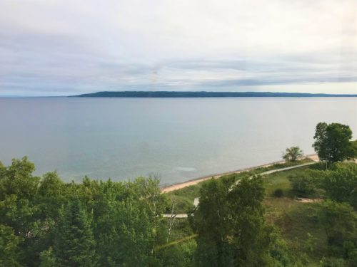
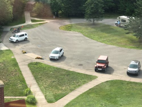
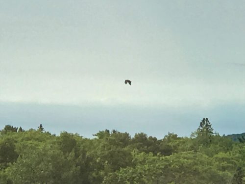
He says that’s an eagle.
I believe him, but you can’t tell in the picture.
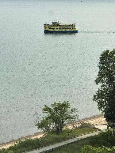
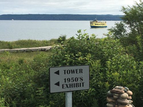
A tour boat.
We’re currently planning on being on one in the next couple of days.
I warn you, the next two are very disturbing, so close your eyes and scroll down if you want. I’ll leave some room. SHUDDER!!!!
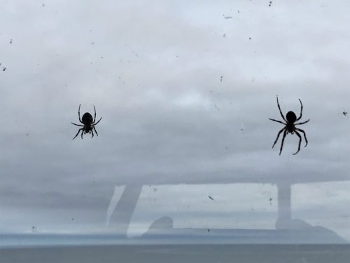
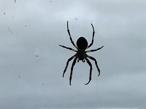
Now can you understand why I ran?
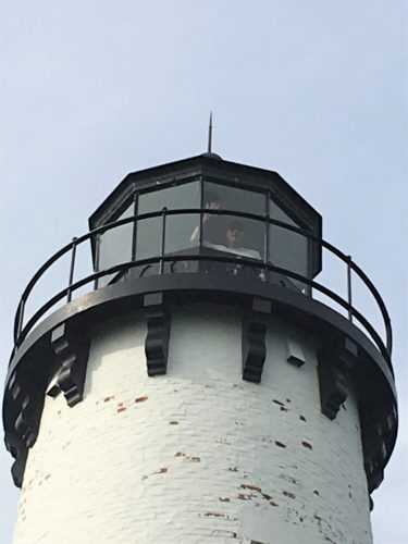
Is he waving, or crying for help?
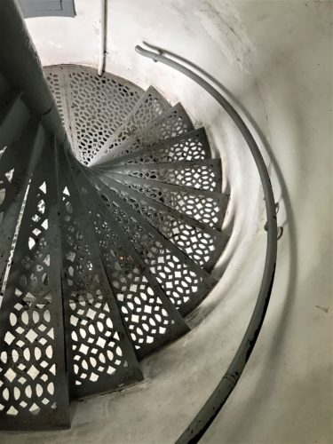
On his way back down.
As you can see, I waited outside!
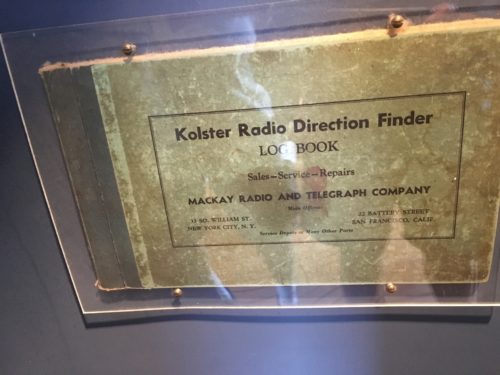
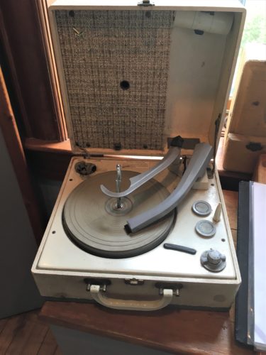
There was another small area with some more memorabilia.
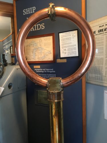
Somehow, this works as a radar direction finder. . . .
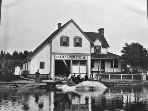
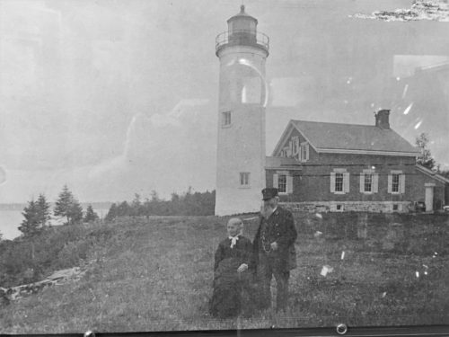
I really liked this picture!
Too bad it’s not in better shape . . .
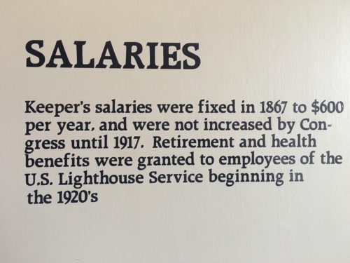
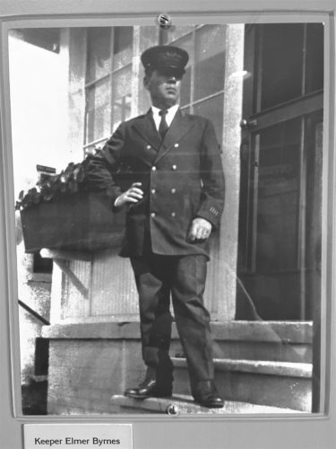
1920’s uniform
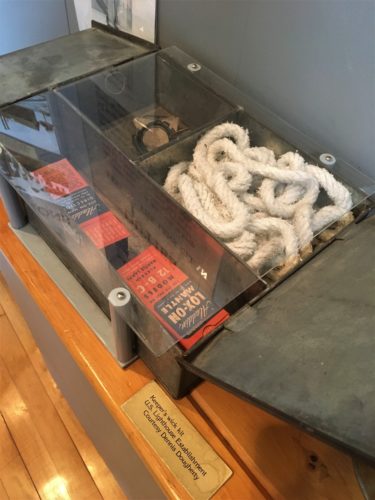
The wick kit
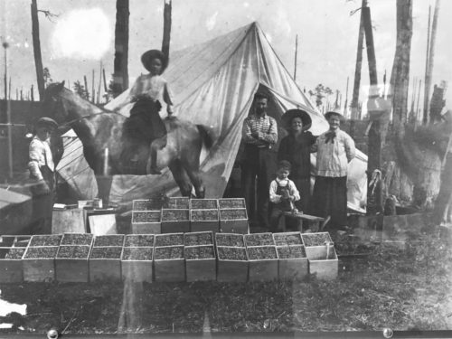
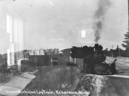
Blueberry camp, 1908
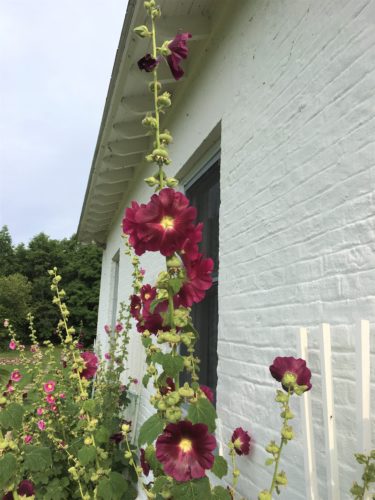
More flowers outside.
Once we left here, we made our way down what was supposed to be a Scenic Drive. It wasn’t. But it was nice road and relatively car-free. We were looking forward to re-visiting the town of Paradise. We were going to stop at the large wooden, decorated sign we remembered from our last visit here, years ago, and pose for a selfie with a caption something like, “Look! We made it in!” But the sign was gone. Sigh . . . .
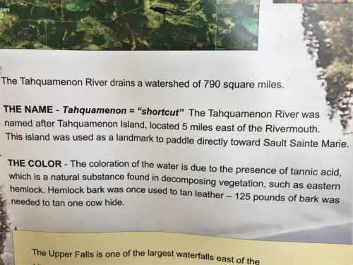
The town of Paradise hosts a tourist attraction called “Tahquamenon Falls State Park” (pronounced like phenomenon). What we remembered of this place was renting a row boat and crossing a river to an island that’s between the waterfalls, and walking around.
What we didn’t remember was the abundance of people! Of course, when we were here previously, it was mid-to-late September, not the middle of summer.
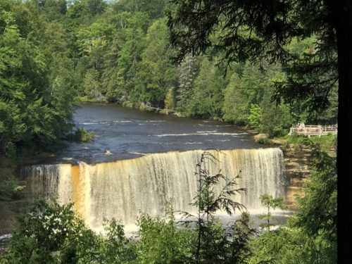
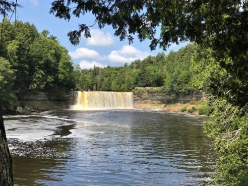
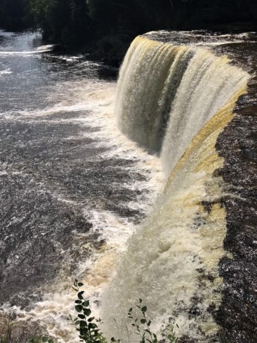
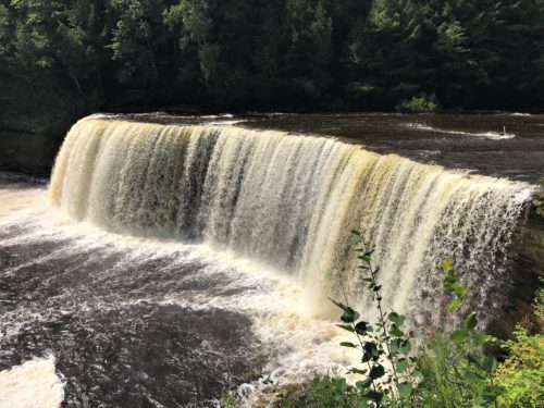
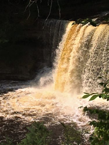
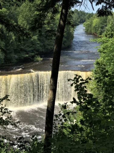
The Upper Falls
48′ high with an average water flow of 7,000 gallons per second.
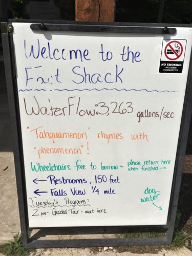
In the Spring, it’s 50,000, but today’s is much less – about half the average at 3,263. : (
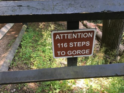
Going down’s the easy part . . .
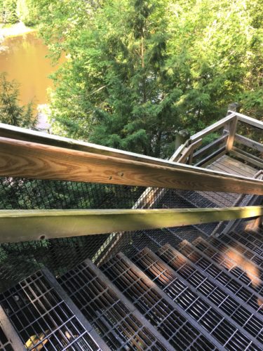
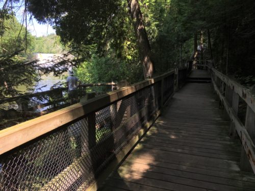
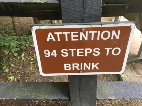
What?!? More steps?!?
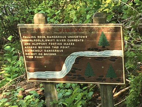
Sounds like Blaine’s kind of place!
But even he didn’t venture out here. : )
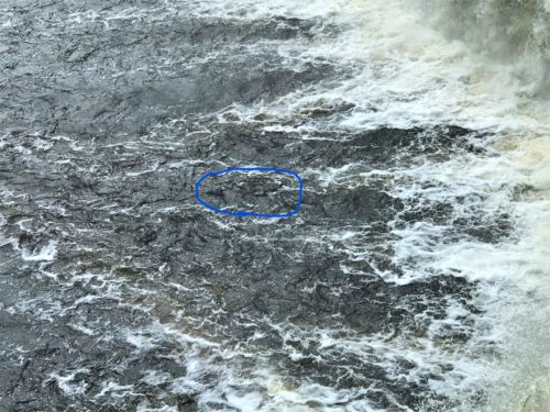
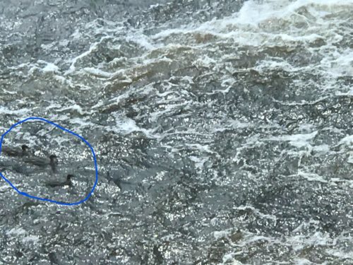
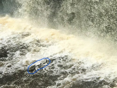
These crazy ducks were continually swimming up to the base of the falls, then floating back, then swimming up again . . . over and over and over!
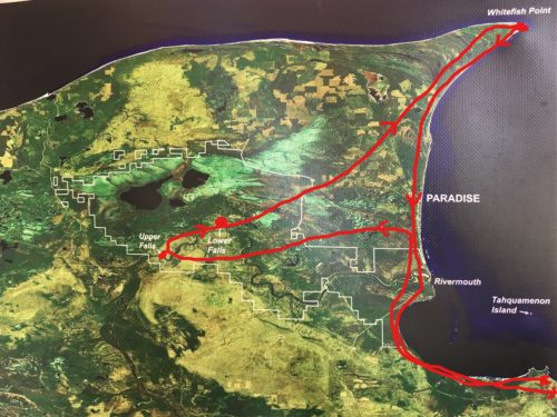
This map gives you an idea of where we were today. : )
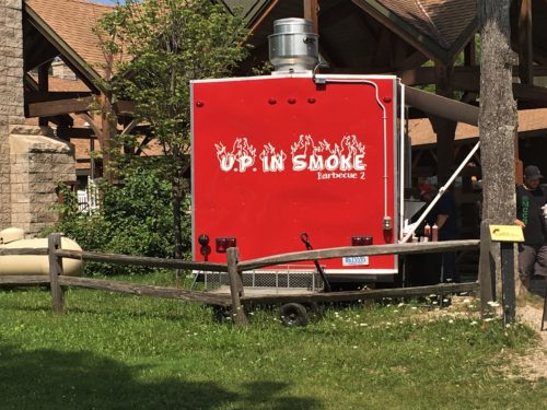
Lunch time!
Blaine bought a pulled pork sandwich, which he said was really good, I wasn’t very hungry and just got fries – which I shared a few with Blaine.
Time for the Lower Falls.
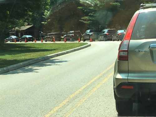
This is the line to get in at 1pm!
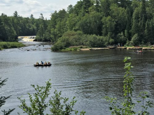
There’s the rowboats!
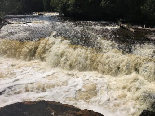
The Lower Falls
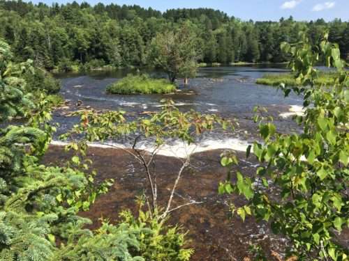
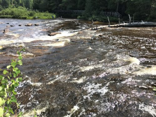
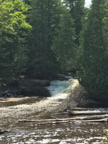
I can remember us being over there on those rocks on the island, and how much we enjoyed it!
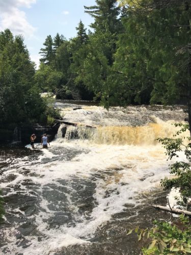
This couple was inching their way to the waterfall.
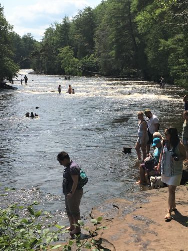
See what I mean? Lots of people today. . .
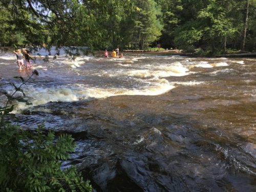
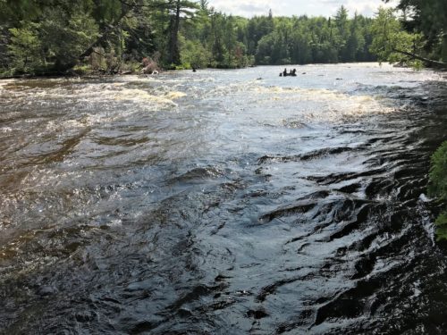
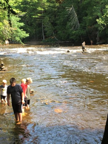
This picture was taken to remember the cairn in the middle of the river.
It was much larger than the picture shows. The rock on top must have weighed a ton!
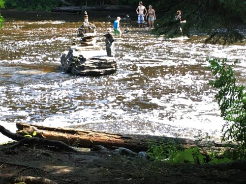
Another interesting cairn.
This one didn’t photograph well. I don’t know why.
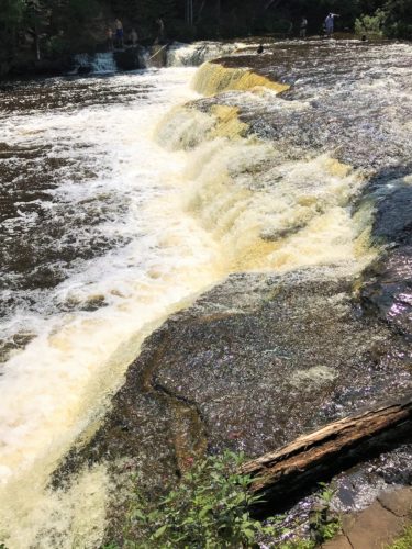
The temperature reflected that fact at 80 degrees and sunny! Besides feeling crowded, I was also warm and wishing we had swim suits so we could join those in the river.
By the time we were ready to go, I was ready to be away from the crowds. No offense, it’s just that the lonewolf life suits me better. 😊
Warm as it was, within a few moments of leaving the Park, we watched our in-Jeep thermometer drop ten degrees! Ahhh . . . . much better!
Certain there would be fewer people all the way up in Whitefish, I was once again surprised (and a bit dismayed) by the small mob of humanity. It was nearing the end of the day, and since we’d been here before as well, we opted to save our money and skip the museum. Sorry. But I would encourage anyone else to be sure to visit it all. It’s a very good maritime shipwreck museum!
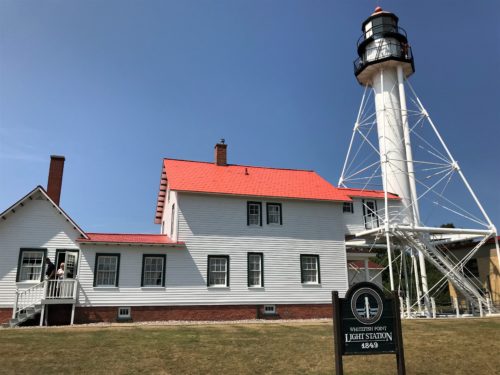
Whitefish Point Light Station
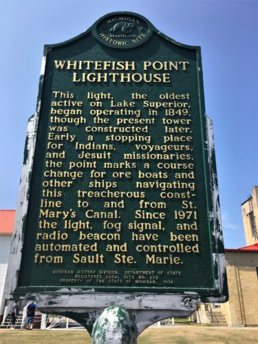
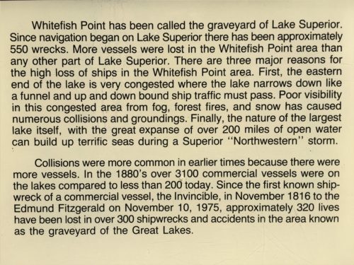
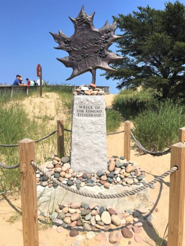
Another memorial to the Edmund Fitzgerald.
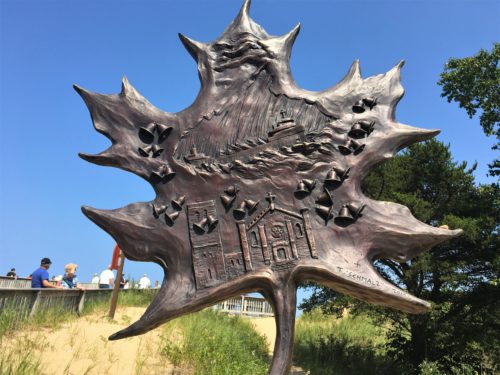
Top right is the “witch of November”‘s hand reaching down to grab the ill-fated vessel.
The 29 bells are for the lost crewmen, the church is the “maritime sailor’s cathedral” in Detroit where services were held.
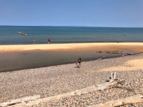
This was our last view of Lake Superior.
We sure will miss it!
We had thought to walk the beach some, but it was lined up and down with bodies.
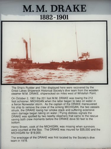
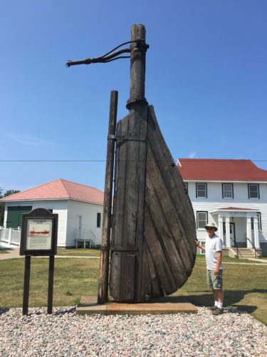
The rudder from the M.M.Drake!
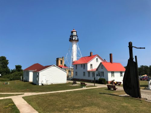
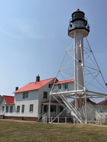
Wanna guess why the lighthouse is built this way?
It’s so the strong winds, so prevalent here, blow through it.
Quite by accident, we discovered a short boardwalk trail – no people either! It turned out to be a raptor viewing area. We didn’t realize that raptors migrate! How wonderful would it be to see that migration!?!?!?
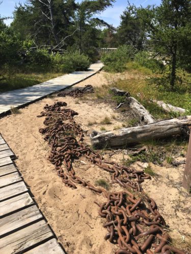
The accidental trail. : )
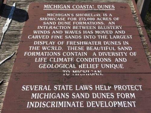
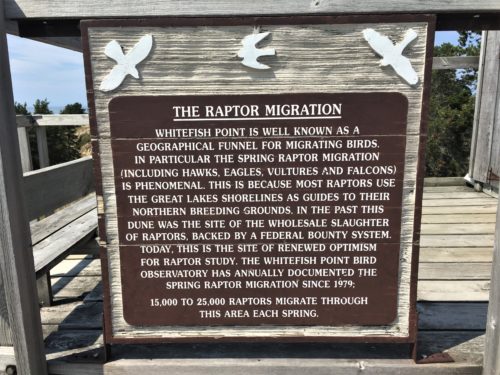
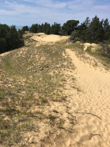
We’ll be seeing much more of the State’s sand dunes when we leave the UP and travel down the west side, along Lake Michigan.
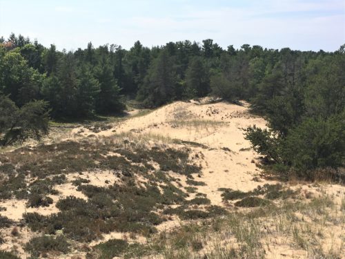
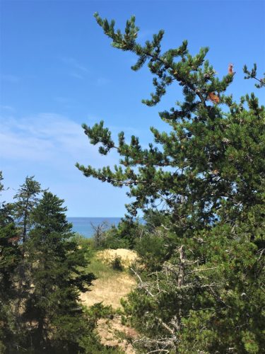
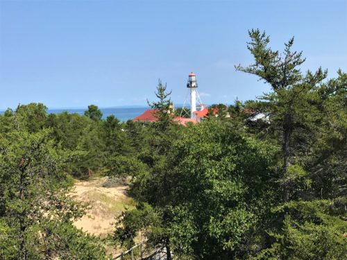
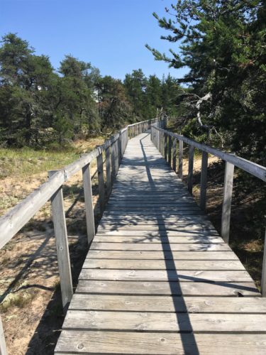
We made another short stop on our hour-and-a-half drive back home, just to check out the scenery.
This tidbit’s interesting – shortly after we left Whitefish, “The Wreck of the Edmund Fitzgerald” came on Sirius Radio! That was really neat! (For those of you who don’t know, this song was written by folksinger, Gordon Lightfoot back in the 1970’s, memorializing this catastrophic loss)
The Shallows is appropriately named. Very shallow water found in what we think was Whitefish Bay. We were able to walk the very narrow beach here, especially since the water was relatively warm.
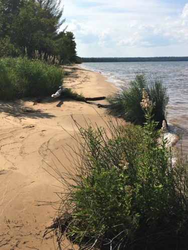
Told you it was a narrow beach. : )
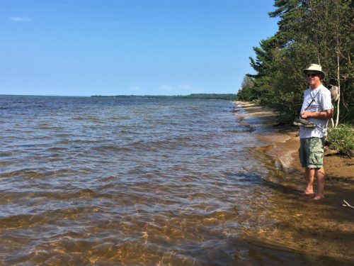
The water looks brown because the rocks are so close to the surface.
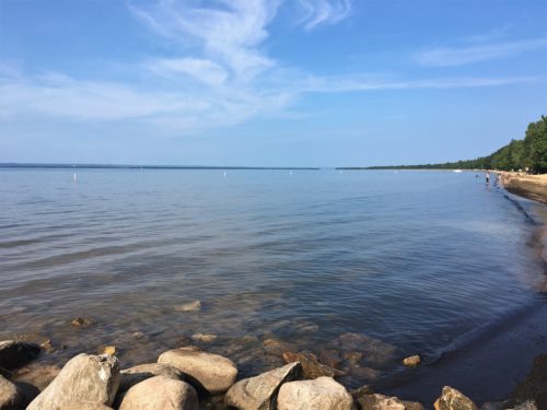
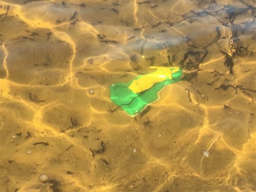
Look at that!
We discovered a shipwreck!
We were unable to retrieve it without getting our shorts soaked, so we left it for someone else to discover.
Dinner tonight was scrumptious! Asian Buffet. That’s the name of the restaurant and also describes dinner.

Marvelous sushi!
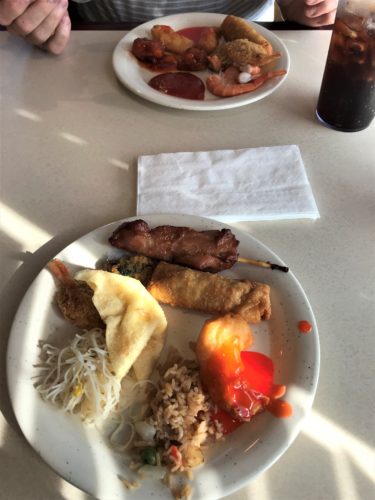
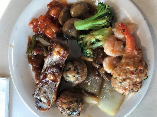
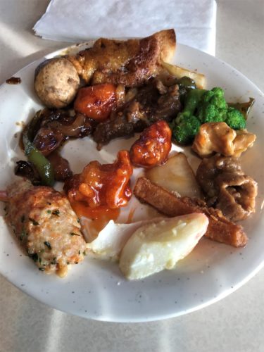

This one’s mine.
Blaine says I need to get my wedding ring back on . . .
hahaha!

When Blaine first opened his (after I did mine), he first thought it read “monogamous” instead of “magnanimous”.
Hahahaha!
I’m sure others wondered what we found so funny! : )
After all that food, we needed to walk, so we waddled around town for a bit, and even watched a ship come in.
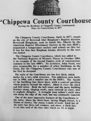
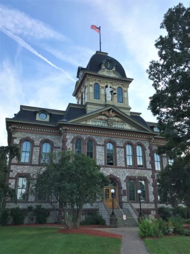
Isn’t this a beautiful courthouse?
And it chimes the hour, too. Not sure about quarter or half hour.
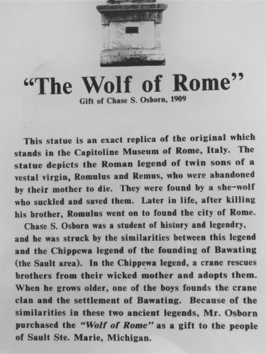
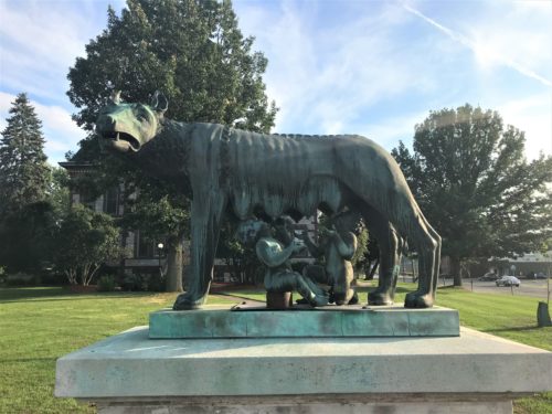
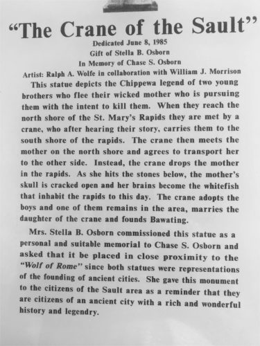
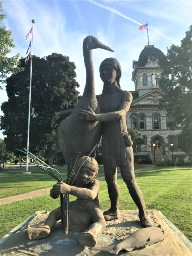
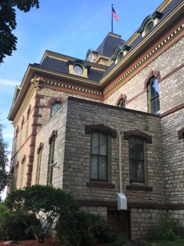
The side of the Courthouse
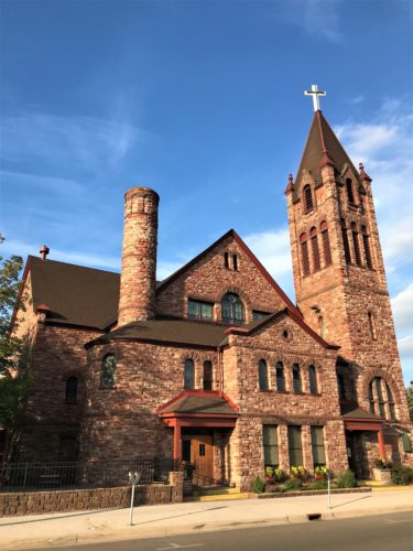
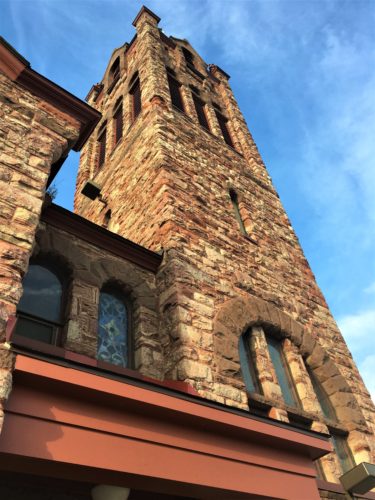
The Central Methodist Church
Beautiful exterior!
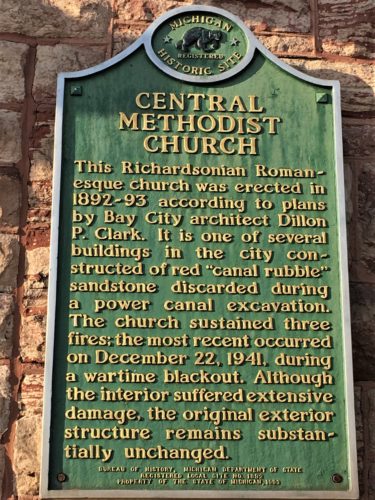
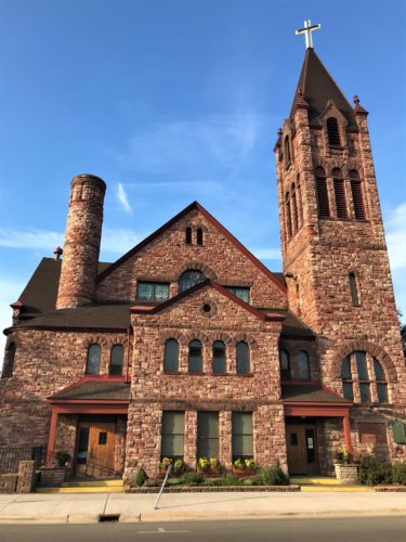
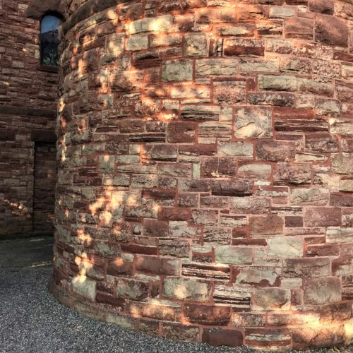
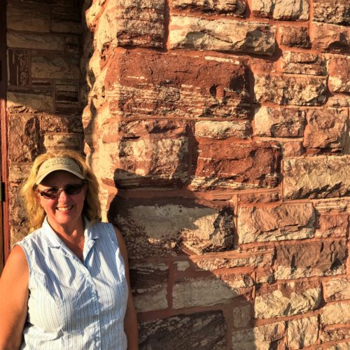
Can you believe this stone is from a pile of rubble?
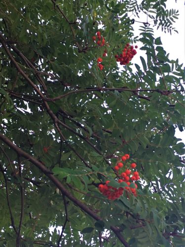
This unusual tree was growing outside the church.
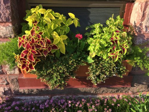
Their window boxes
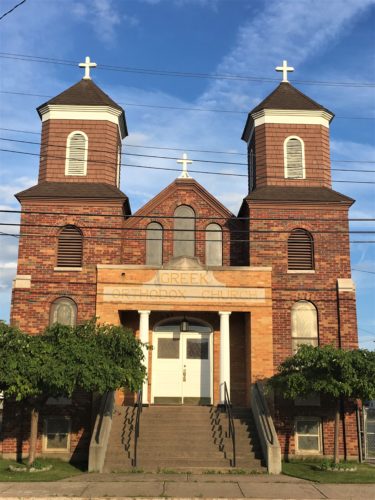
I have no information on this one, there wasn’t a plaque or cornerstone.
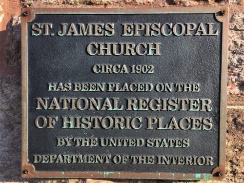
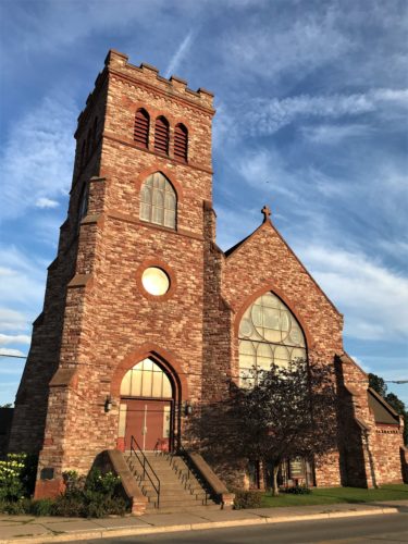
Guess the Episcopalians liked what the Methodists used. They have the same stone. : )
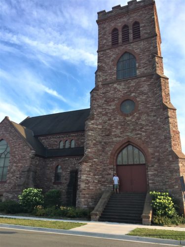
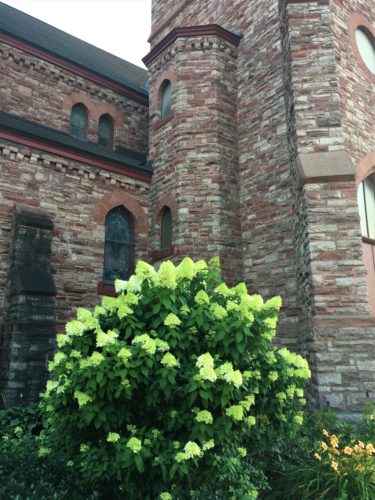
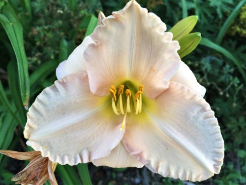
They had a variety of lilies around the building. Lovely!
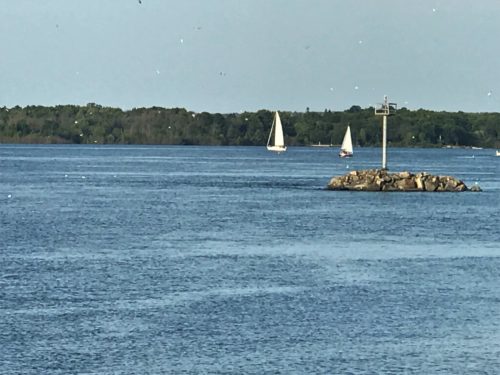
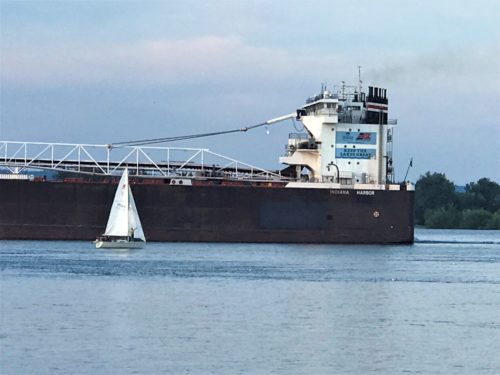
There were 4-5 sailboats out tonight.
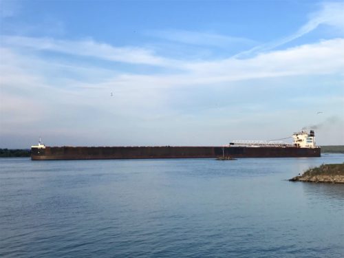
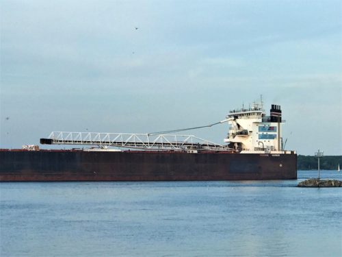
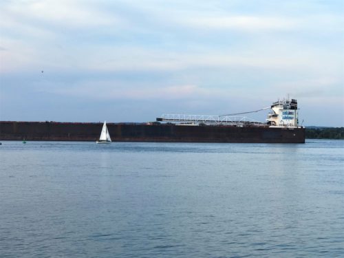
One went right by one of those large freighters!
We ended the day with a spectacular sunset!
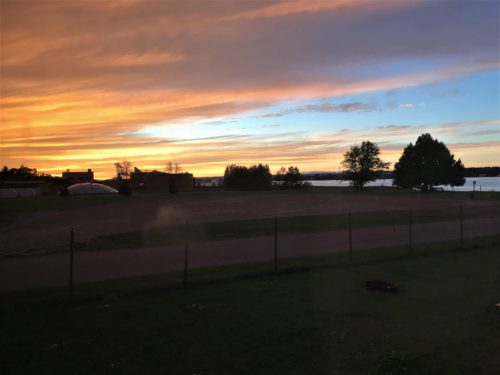
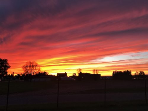
Right from our own backyard!
