Blaine came up with today’s title. Did you get it? (fun day at fun-day? lol!)
Today’s episode could just as easily have been called “Watching Water”. We spent from 10:30am to 6:30pm watching the tide at the Bay of Fundy in Burntcoat Head Park. We can do that. We’re retired.
And our home is always close by. Today it was about 30 minutes away.
They think the name of this place originally came from stories told of a seaman catching his coat on fire.
Burntcoat is known for the highest tides in the world. 55’!!! For those of you who got a text and picture sent to you, we didn’t realize at the time that that benchmark wasn’t every day. The day we were there it was “only” 46’ due to the phase of the moon. The highest tides happen during a full or new moon. We were right in the middle, which is the least dramatic time.
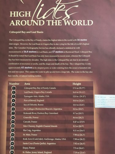
They had to tape on one from Australia. Maybe a tourist from there pointed out that it was missing???
Fun Facts: Nova Scotia actually bends when the tide comes in! When 14 billion (that’s Billion with a B!!) tonnes of sea water flow into the Minas Bay (that’s a bay within the Bay. I know. It confuses me too!), the Nova Scotia countryside actually bends slightly under the immense load! And the amount of water that comes in and out of the entire Bay of Fundy is 160 tonnes which is more than the combined flow of all the freshwater rivers in the world combined!
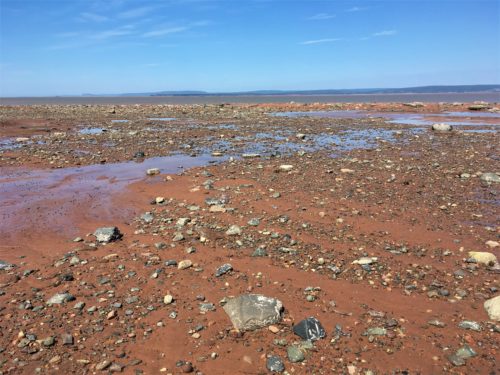
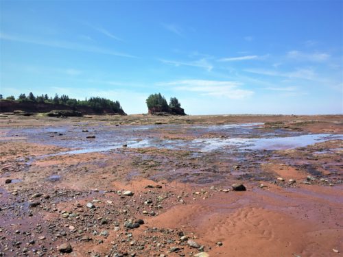
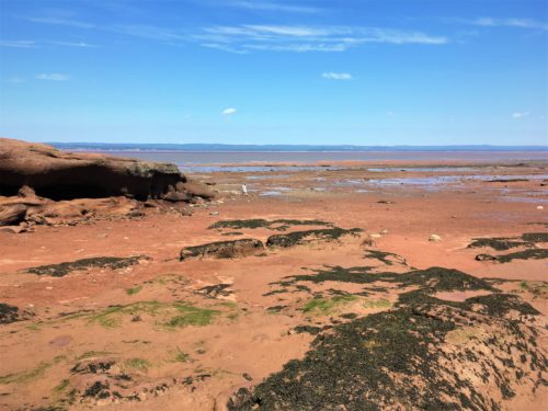
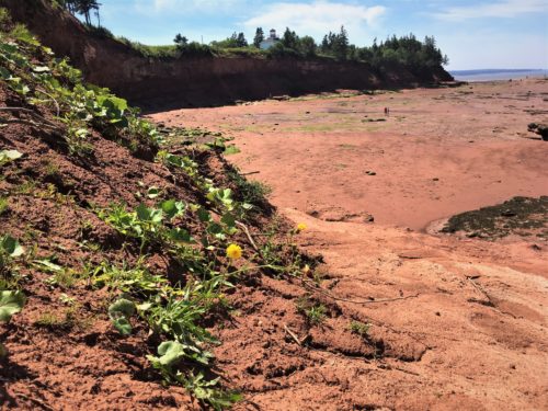
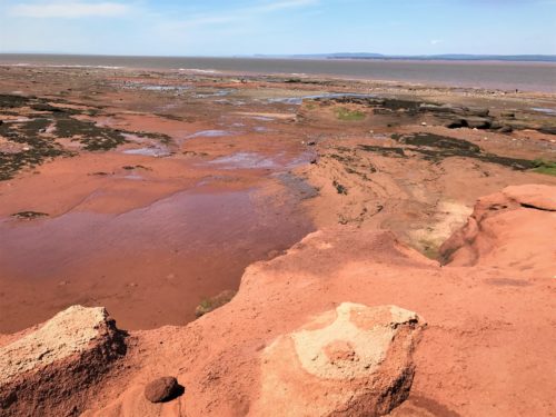
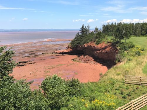
On the way, we passed areas where we could see gi-normous swaths of red (the empty Cobequid Bay – again, a bay within the Bay and where Burntcoat Head is) and empty, red mud gullies everywhere. All waiting to be filled to the brim.
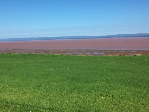
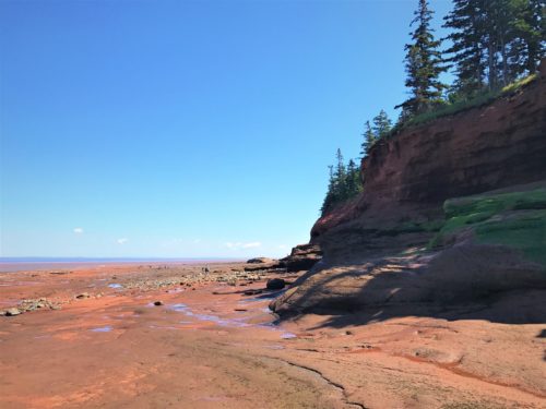
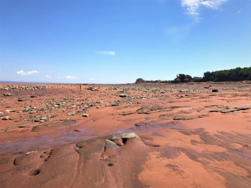
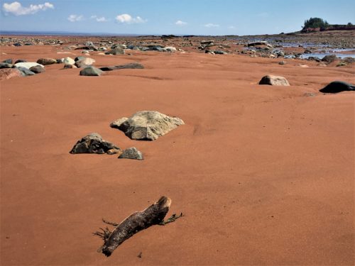
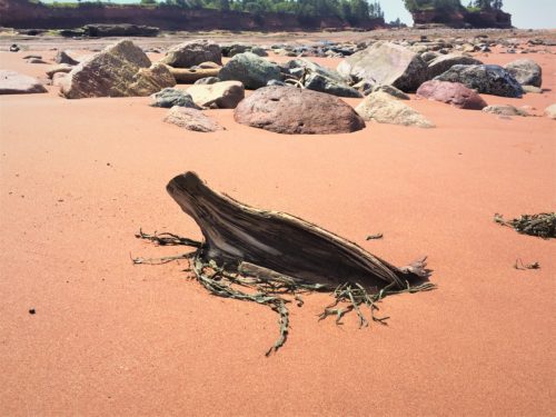
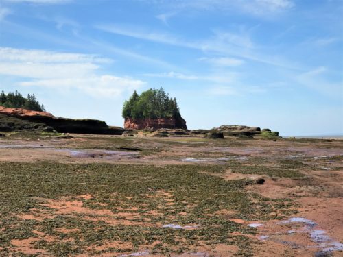
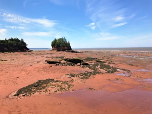
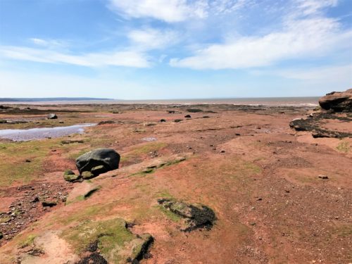
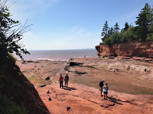
It was so incredible to be out walking on the ocean floor! There was so much open area, it was hard to believe it would all be covered in a matter of hours.
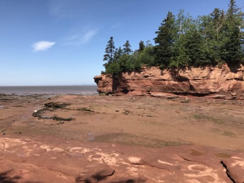
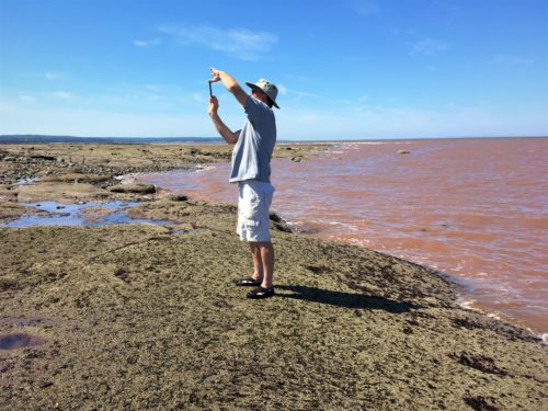
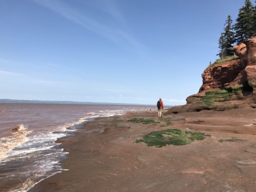
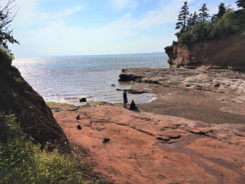
I really wish the resolution on this blog was better! Near Low Tide at Burntcoat Head.
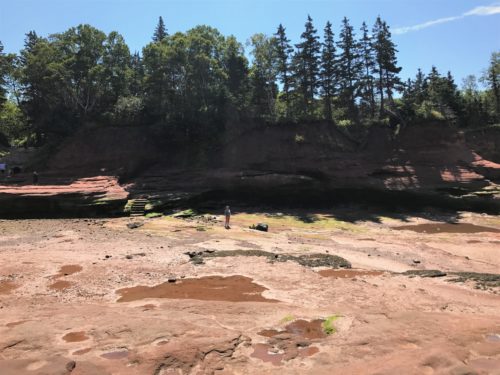
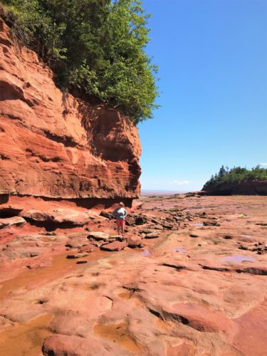
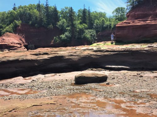
That’s Blaine standing there to add perspective.
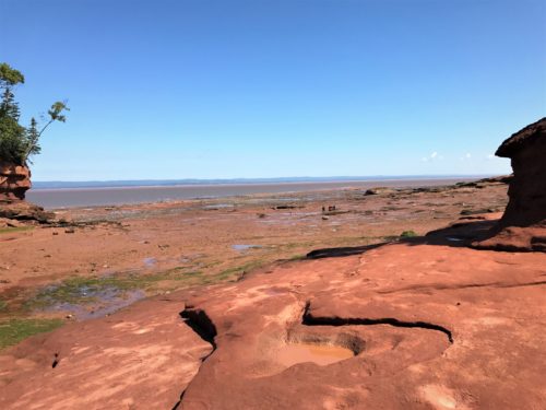
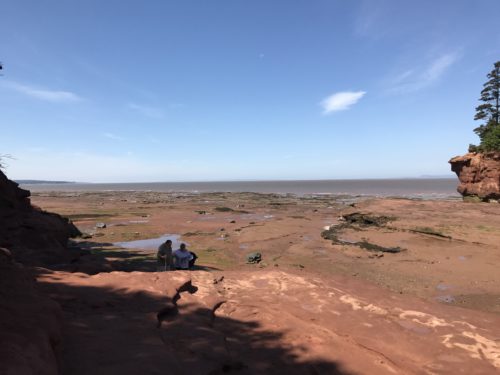
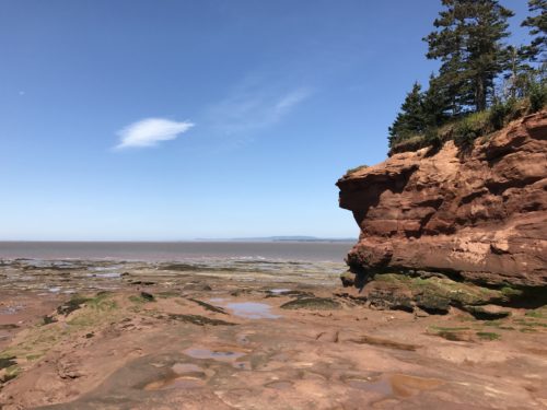
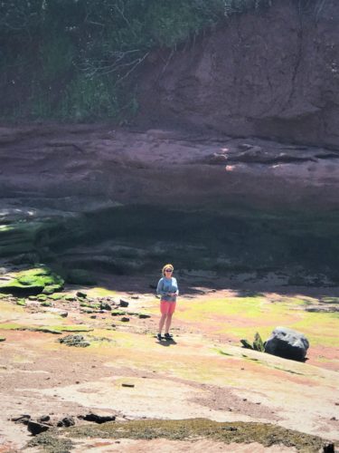
Low tide was about noon. High tide 6:30pm, and we stayed for it all. The actual tide takes about 1 ½ hours. Well, that’s not true. It takes 1 ½ hours to get to the place where you can’t be on the far side of the island anymore. A park employee told us to be back by 3:30pm so we wouldn’t get stranded for hours. And she told us that the tide comes around the island from both sides and meets up around 5pm. At 5pm, we discovered that all the employees quit at 5pm. 😊 So think about it. That means there’d be no one around to rescue you should you need it. It’s probably best to obey the rules. . .
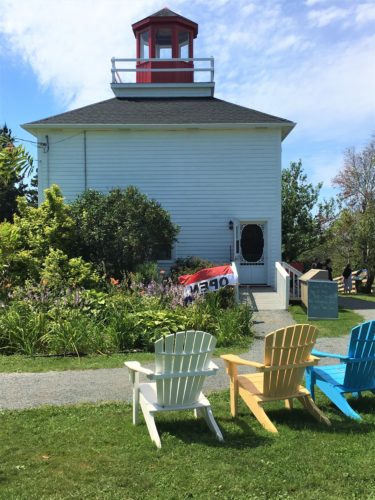
There’s really nothing else to do around here, but we managed to fill the time pretty easily. We walked the floor, then grilled sausage for lunch about 1pm, went to the top of the lighthouse (I use the term loosely as it’s really just a tourist thing – museum, high viewing place and gift shop) walked the floor some more, found a spot to sit and watch the tide cover the space we’d walked on, moved back and watched some teens almost get stranded on a large rock, moved back some more when we started getting splashed, watched an employee make the rounds at 3:30 to clear the area, left the viewing area, bought ice cream and ate it inside a gazebo, watched the tide meet itself and start to fill in right in front of us, went back to the Jeep for cookies, left Blaine at the Jeep while I washed our water shoes and sat watching the tide continue to fill in. Blaine showed up at 6pm and we watched it complete its course before heading home.
If you read all that – – good for you! It reminds me of Paul in Romans 7. 😊 Of course his is much more important! And if you slow down and read it, you’ll actually learn something. Mine – – – not so much . . .
At least I have pictures to redeem myself some. So here we go! Tons of pictures! They should be in the order we took them, but at the end I’ll put together a few ‘before and after’ ones.

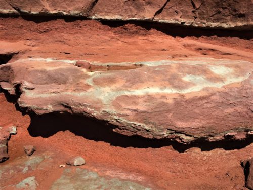
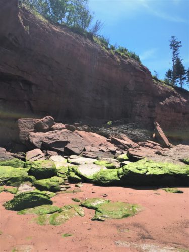
The very top white line is where the high tide usually comes to.
It won’t reach that point today.
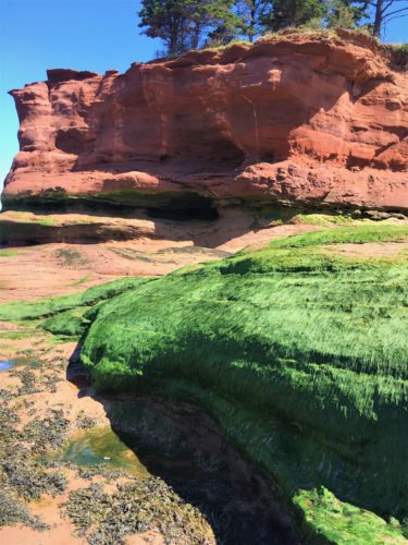
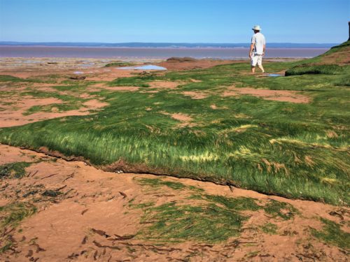
The green is some kind of seaweed. It’s very soft and velvety looking and feeling.
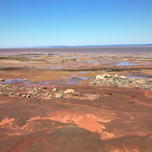
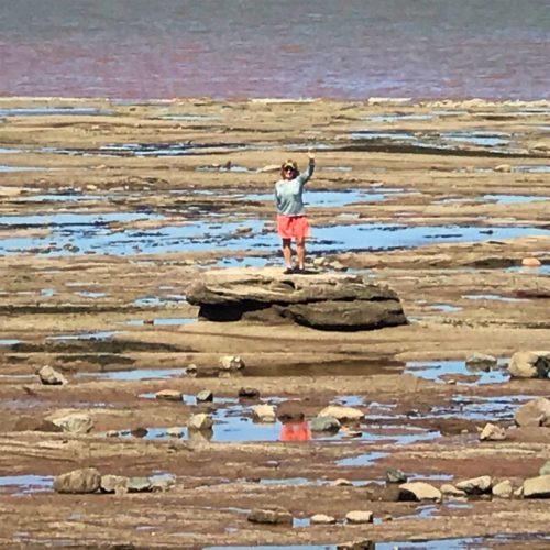
Another perspective picture. That’s me in the center, standing on a rock. The next picture shows it zoomed in. Maybe that’ll help you find me! : )
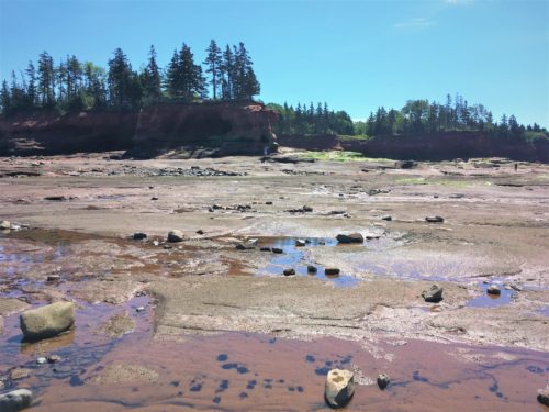
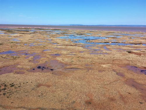
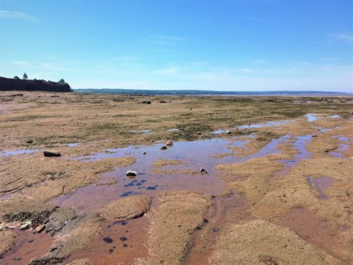
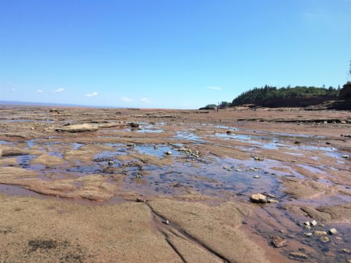
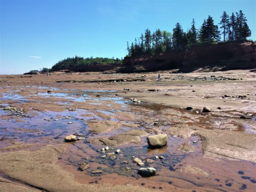
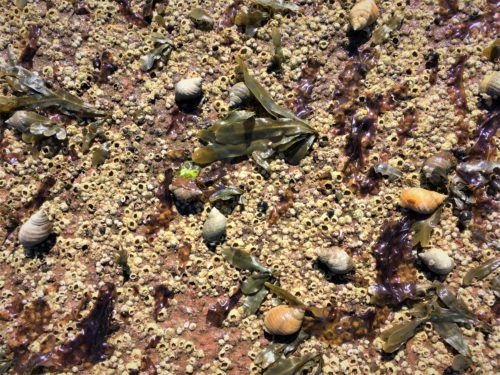
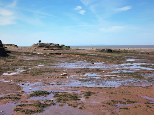
There was lots of life on the ocean floor, all waiting patiently for the tide to come in.

This is a panoramic picture Blaine took. Came out pretty good.
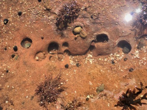
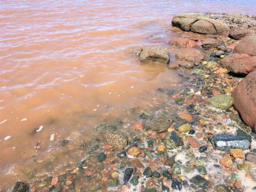
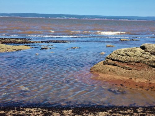
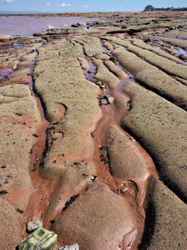
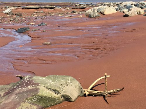
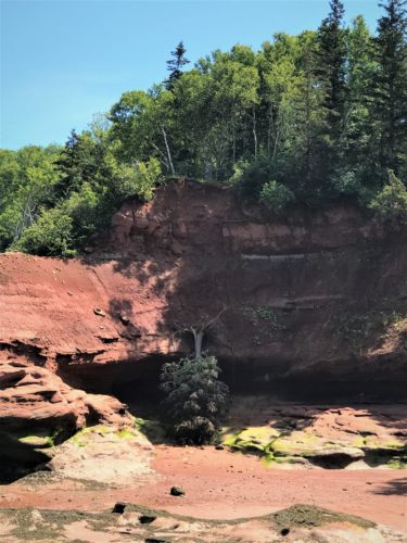
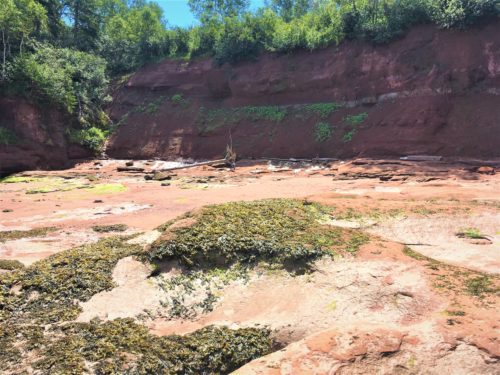
A victim of erosion . . .
All you can see is a white speck by the large rock. That’s Blaine!
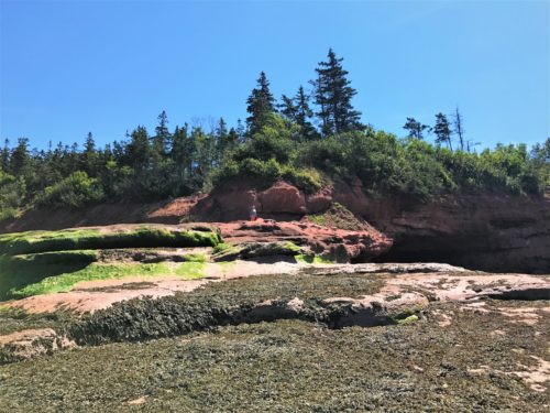
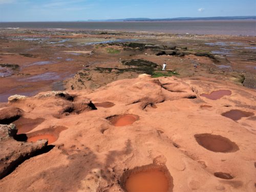
Another perspective picture and one of my favorites of the day. That’s Blaine!
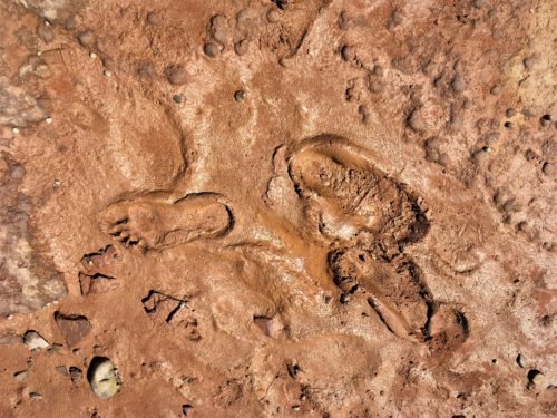
We hit a muddy patch and I took this picture.
I think the prints look inverted – raised rather than imprinted.
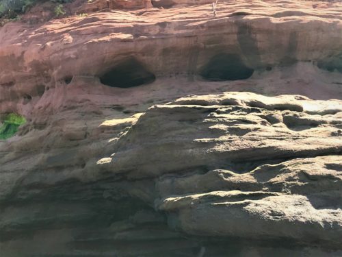
Doesn’t this look like a face to you? A great, giant face!
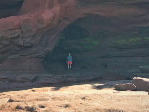
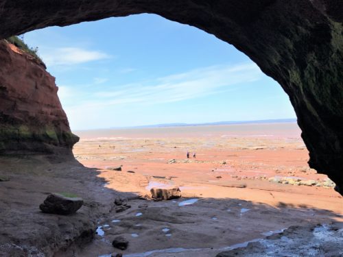
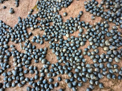
Snails
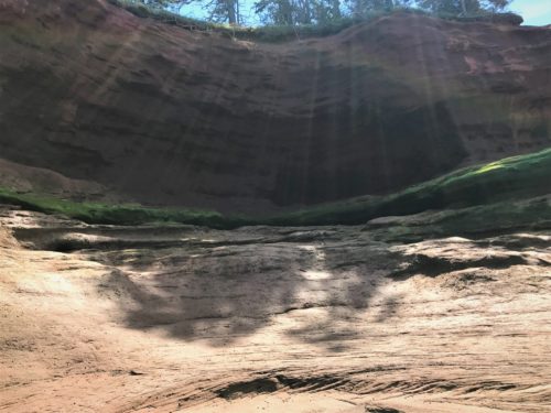
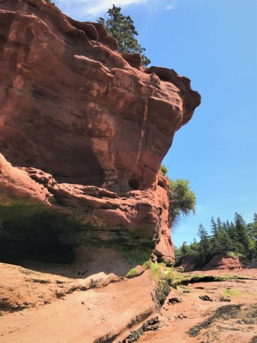
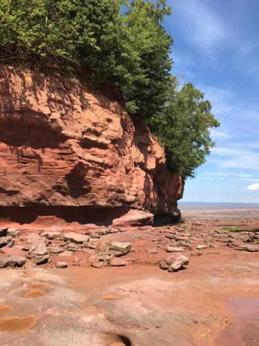
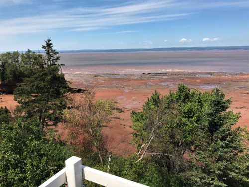
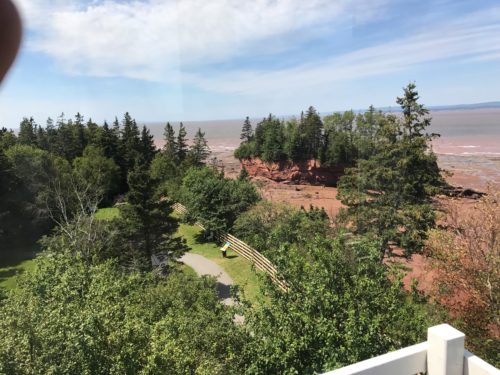
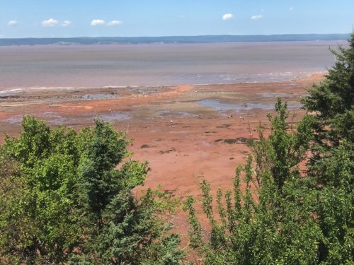
We took several views from the lighthouse so we could get an ‘after’ picture later.
This and the next three are from there.
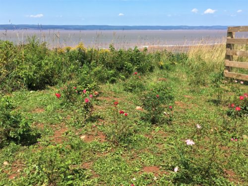
We had lunch here.
This and the next three pictures are Lunch Views.
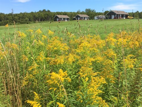
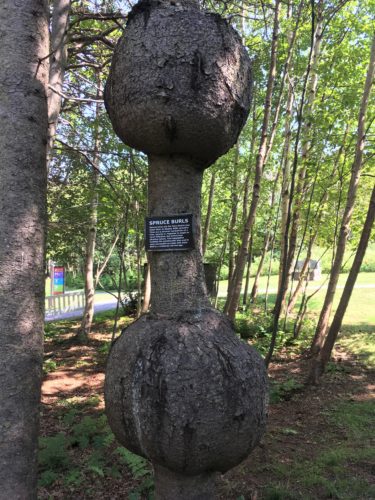
These are Spruce Burls.
As the sign says:
Spruce trees are the Nova Scotia tree most often to display Burl growths.
They are a surival mechanism of a tree, usually in response to insect or virus infection, but sometimes physical injury. This adaptation isolates the problematic area and is very successful as trees with burls live to a relatviely normal age.
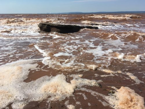
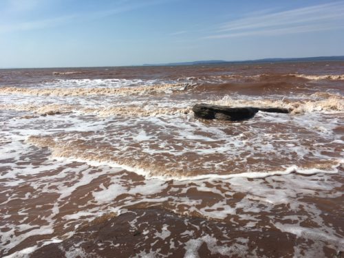
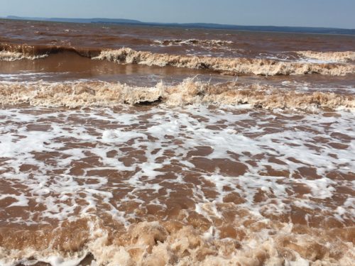
This picture and the next three show the tide coming in. It took 5 minutes for this rock to disappear from the time I took the first picture.
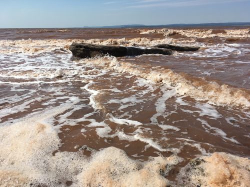
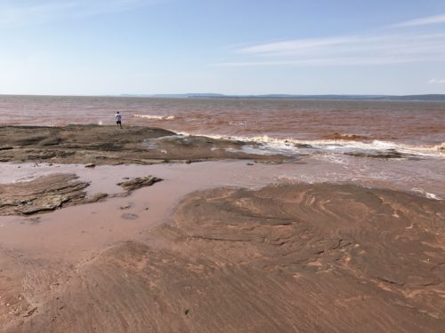
And 18 minutes for this huge one to dip beneath the waves. (That’s the last of the kids that were out there)
Three pictures tell the tale.
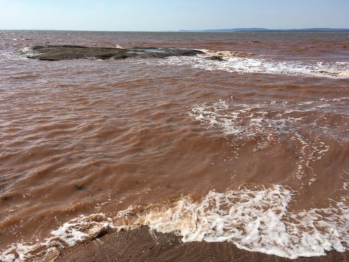
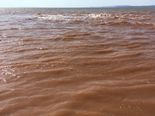
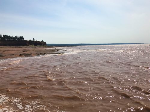
After the migration behind the island. See the water encroaching?
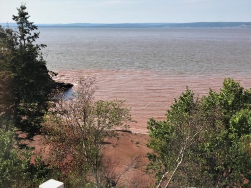
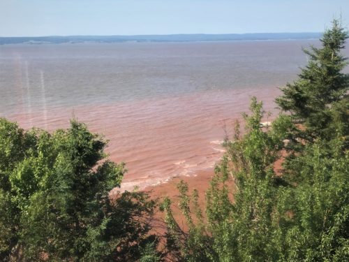
Two ‘after’ views from the lighthouse.
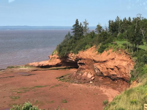
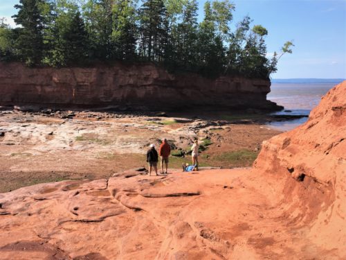
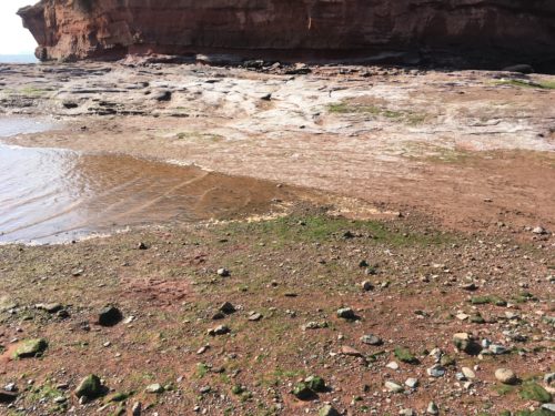
The water begins to find it’s way around the higher elevation.
I have six pictures and a couple of videos showing the merge. It took 15 minutes to complete.
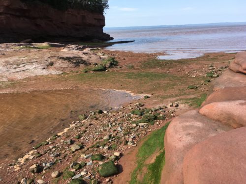
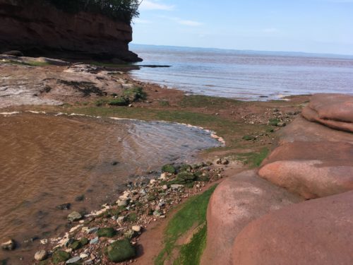
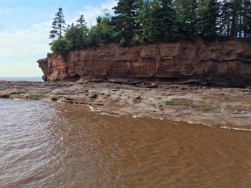
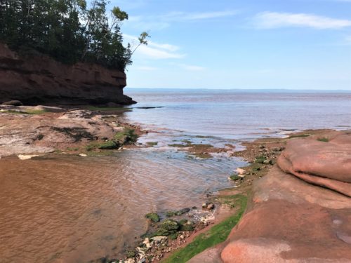
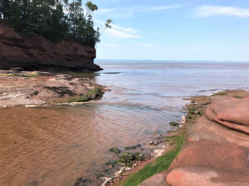
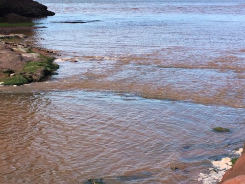
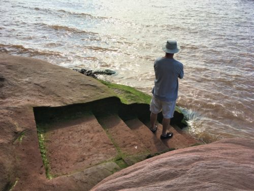
These steps will completely disappear.
The green testifies to the fact. : )
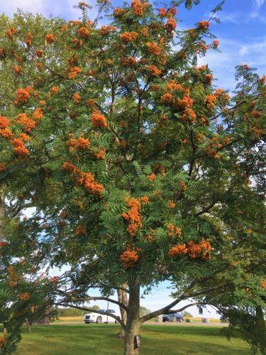
I don’t know what kind of tree this is, but it was on the grounds and I found it pretty.
Taken on the way to the Jeep. But we’re not done yet!
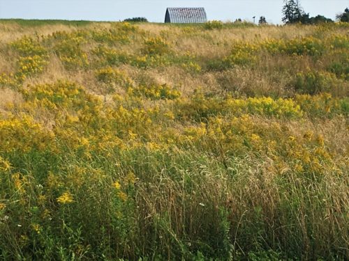
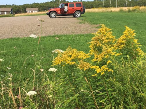
Two views from the Jeep.
Most have left after the meeting of the waters. We stuck around until about 20 minutes before the high tide benchmark.
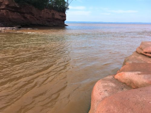
Back to see the (almost) end. We were sitting on these rocks for the merge. Our footrests are gone and our seats almost are!
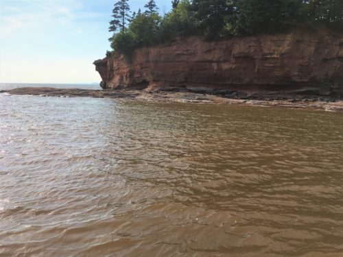
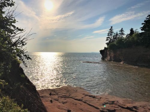
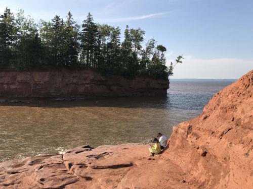
And if you’ve looked at all these and thought, “That doesn’t look like 46’ to me.” You’re right! The tide measurement comes from the lowest point of the beach and the beach area is slanted some, so when it all levels out, it’s 46’ down by where we were at noon. Since we can’t take pictures from down there, all you get is what was right in front of us from a higher elevation.
Here are a couple of before and after pics:


These next pictures were taken from the lighthouse. Keep in mind that they were taken well after low tide, and well before high, so they’re not quite as dramatic a change. : )

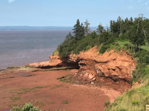

We took several views from the lighthouse so we could get an ‘after’ picture later.
This and the next three are from there.

Two ‘after’ views from the lighthouse.


Incredible Day!!!!!!
