Campers Cove RV Park, Alpena, Michigan
He put a new song in my mouth, a hymn of praise to our God. Many will see and fear the LORD and put their trust in Him. Psalm 40:3
Today was all about exploring. We hadn’t done much research. For the most part, our guide was a list of “27 Spots Worth Pulling Over For” that was in a tourist book about Alpena. The only problem with the list is – they don’t tell you where these places are. We had marked places that sounded interesting to us, but discovered that many were just too far away.
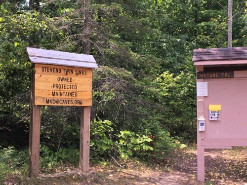
Driving about thirty minutes, we arrived at The Bruski and Stevens Twin Sinks area, and let’s not forget – the Cracks in the Earth.
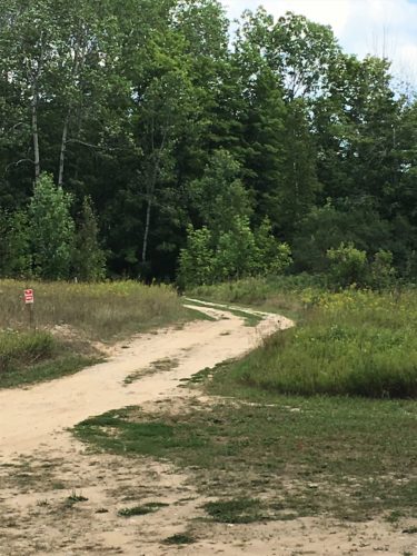
You can’t tell it, but we were glad to have a Jeep to get in here!
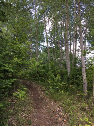
Beautiful birches
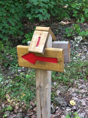
We saw this, and assumed it was some kind of marker, but didn’t know what it meant.
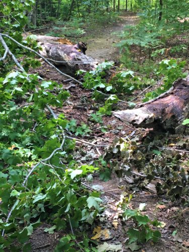
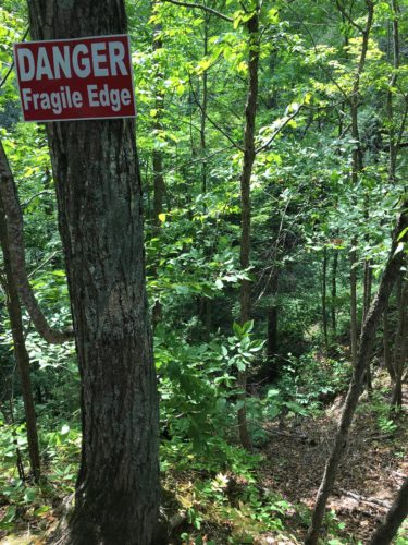
Uh-oh!
Trail maintenance needed – and more than we can do. These logs were much bigger than they look!
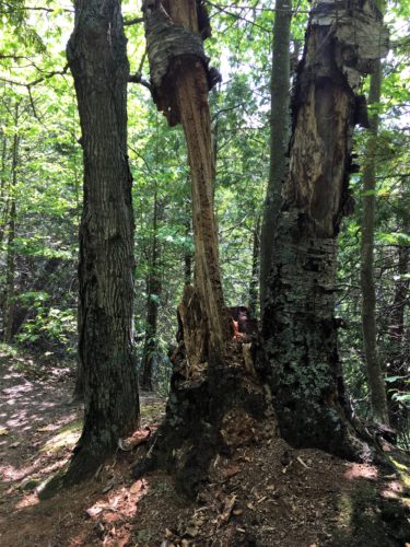
Wow. Look at that . . .
It’s really difficult to take a picture of a sink hole. Especially one that’s filled in with foliage, doesn’t really matter that it’s a “unique environment inside that provides home to flora not found anywhere else in Northern Michigan.” Looked like regular trees and undergrowth to us.
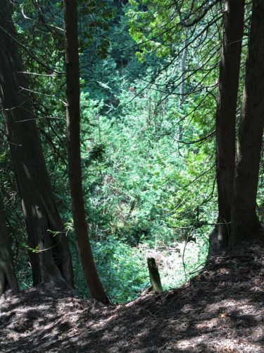
It’s hard to take a picture. All you get are trees.
The Twin Sinks are side-by-side and are approximately 85’ deep and 200’ wide.
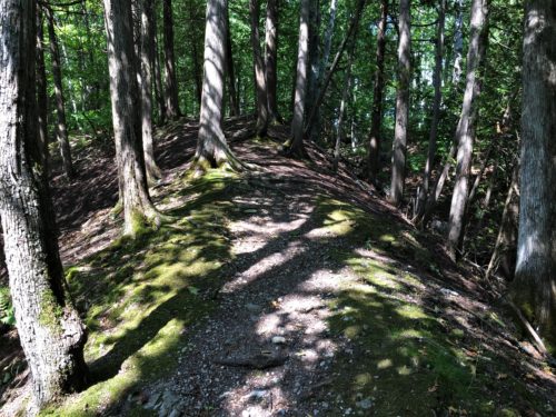
This shows it a little bit – the trail between the sinks.
But how do we know it’s safe?
I found the following information at caves.org: (karst = landscape underlain by limestone that has been eroded by dissolution, producing ridges, towers, fissures, sinkholes, and other characteristic landforms.)
Stevens Twins Sinks and Bruski Sink are units of the Thunder Bay Karst Preserve, along with Mystery Valley.
The Stevens Twin Sinks unit is a 31-acre parcel purchased in 1993 with gifts from William and Archie Stevens and other members and friends of the MKC. In it are two sinkholes separated by a fragile saddle ridge, each about 200 feet in diameter and 85 feet deep.
The 2.5-acre Bruski Sink unit across Leer Road was donated to the Conservancy in 1996 and made part of the Thunder Bay preserve.
Though there are more than 200 sinkholes in Michigan’s northern lower peninsula, most are located on private property. Only the sinks that make up Thunder Bay Karst Preserve and Shoepac Lake State Forest Campground to the west are available for public access. The MKC restricts access to the Stevens Twin and Bruski sinks to protect their thin soil cover, as well as for safety reasons.
Visitors can follow walking trails that offer views of the sinkholes and a nature trail near the Stevens Twin Sinks. MKC volunteers mow the trails monthly during spring and summer. A spur on Sinkhole Trail leads to earth cracks which indicate the sink continues to slowly collapse and widen. Nature Trail branches off and returns to Sinkhole Trail after meandering through a beech grove. Another short trail follows the south and east walls of Bruski Sink.
Bruski Sink was used illegally as a trash dump for many years. In 1999, the MKC began cleaning trash from the sink with a 75-ton crane from Moran Iron Works. Over several years, MKC volunteers removed eight car bodies, refrigerators, washers, dryers and coils of wire fencing. They also removed dozens of rusting containers of insecticides, motor oil, paint thinners and other chemicals which could have polluted groundwater. The sinkhole grew in depth from 75 feet before the cleanups to 112 feet afterward.
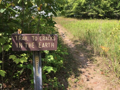
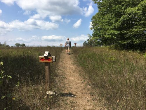
More numbered signs.
Where were two and three?
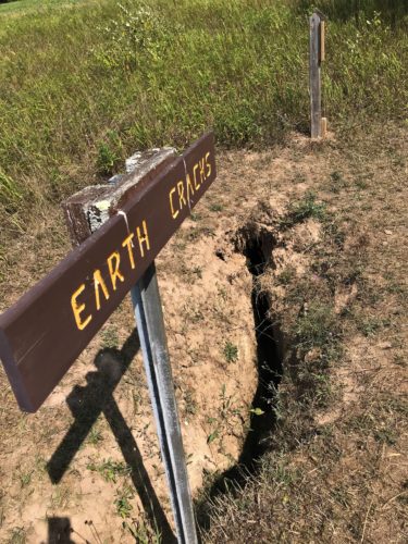
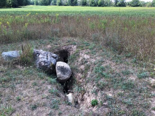
We’re guessing someone placed the rock there to keep people out of the crack.
Look how close the farm land is.
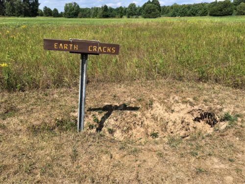
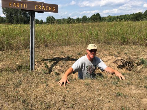
He doesn’t look very scared, does he?
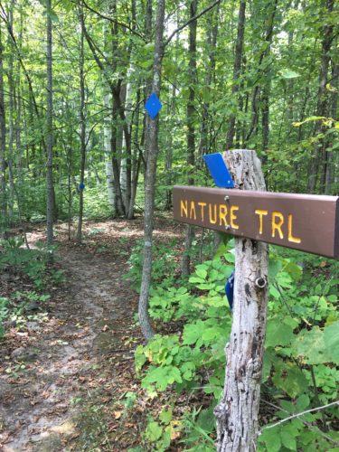
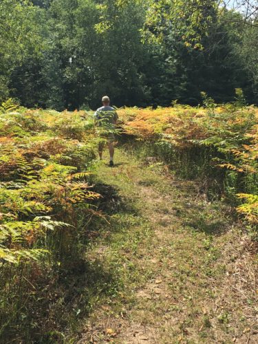
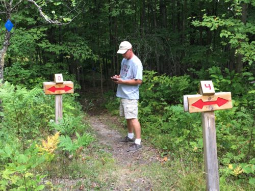
More signs.
Blaine was trying to find out what they meant.
No luck.
There were several ‘4s’, a ‘1’, 2 ‘8s’, and a ‘5’.
That we saw anyway.
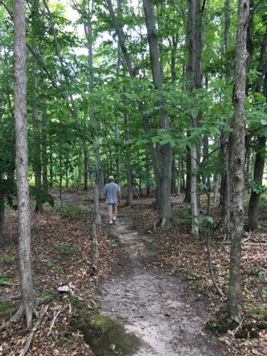
Beautiful woods!
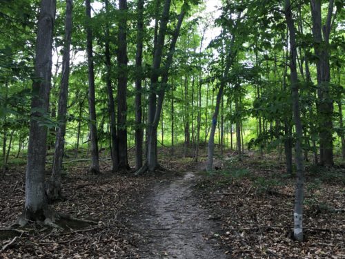
Across the street to Bruski . . .
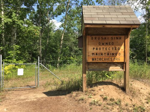
This is just across the street.
At the time, we didn’t think we’d get beyond the fence, but the gate wasn’t locked.
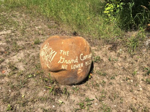
Grand Canyon? Really?
After walking around, I’d say whomever made this has never been out west. . .
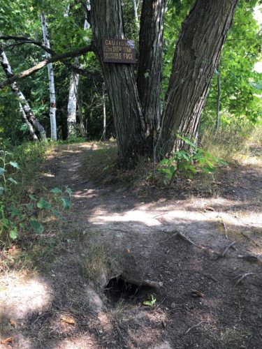
The start of another sinkhole?
The sign reads, “CAUTION
112FT DEEP SINK
UNSTABLE EDGE”
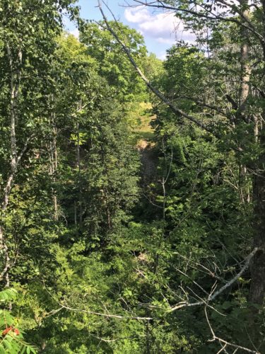
This was a good view across.
I took off and went over there to add perspective.
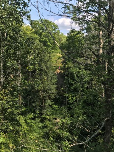
There’s me – in the bright pink shirt.
That’s why I went – the bright pink.
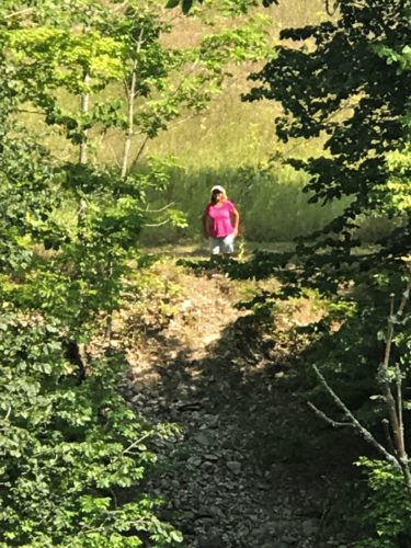
Zoomed all the way in.
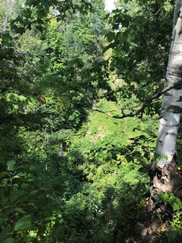
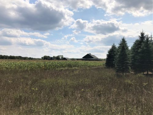
This farm is right there, on the way around.
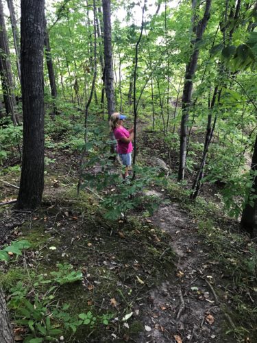
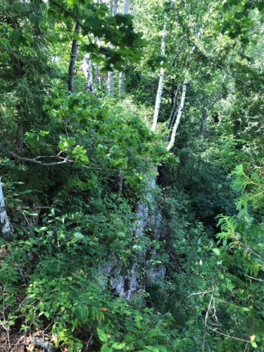
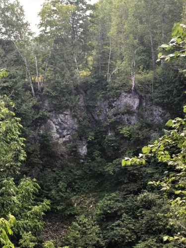
I was trying to get a picture of the rock wall we could see across from us.
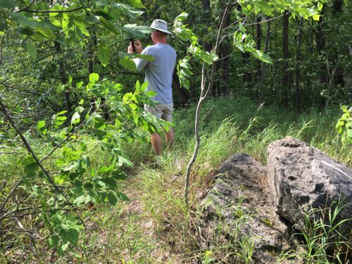
I didn’t know Blaine had found the best vantage point.
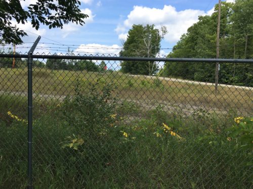
There’s also a road right here.
I’m sure that’s why the fence was put up.
No, not to keep the sinkhole from spreading, silly . . . to try to curb the trash dumping.
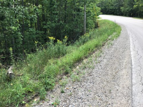
Our trail ended, so we had to walk the road back to the Jeep. It wasn’t far.
But just look how close the road is to the sink! And note how the pavement is cracked . . .
We saw evidence of trash as we looked across the Bruski Sink, so either they didn’t complete the job for some reason, or people continued dumping, though much (but not all) of it looked like it had been there for a while.
Following our ‘sinking’ experience (har,har!), we returned to the town of Alpena to look for their pier. We had no idea what to expect, but the picture Blaine found made it look much longer than it was, but that’s okay. The walk along the beach was nice. They had a waterpark, clean beach, and a very young, bored-looking lifeguard. We also discovered a professional volleyball court with plans for a tournament this weekend.
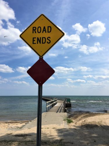
No kidding?
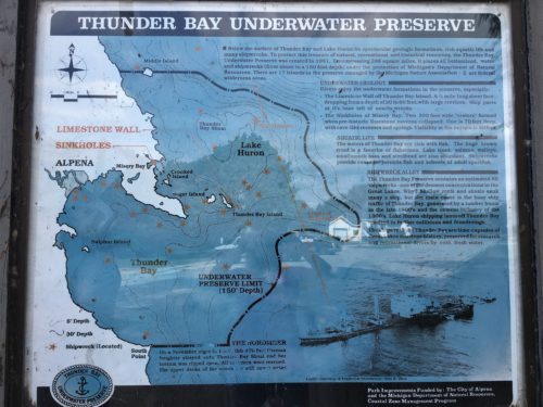
I don’t expect you to read this. It talks about all the shipwrecks in the area you can check out.

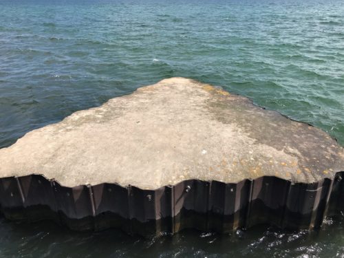
This is at the end of the pier. Looks like an arrow to me! : )
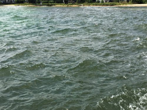
Very choppy water today.
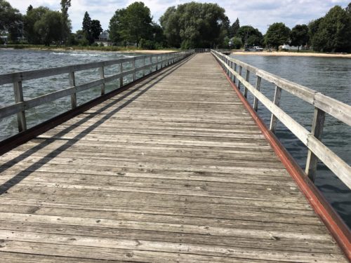
But look at this! One side is choppy, the other calm.
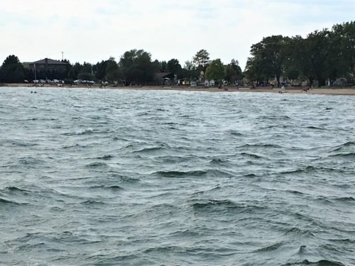
A view of the beach area
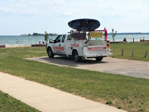
There was a mature gentleman driving this truck.
We saw him on our way back, talking with the young guard.
Never seen a truck like this before, but then again, we’ve never been to California. Maybe they have them there . . .
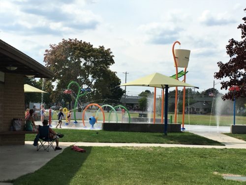
The giant bucket fills with water . . . .
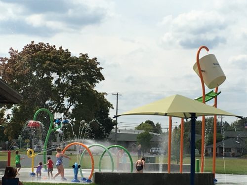
. . . . it starts to tip and the kids either run under, or away . . .
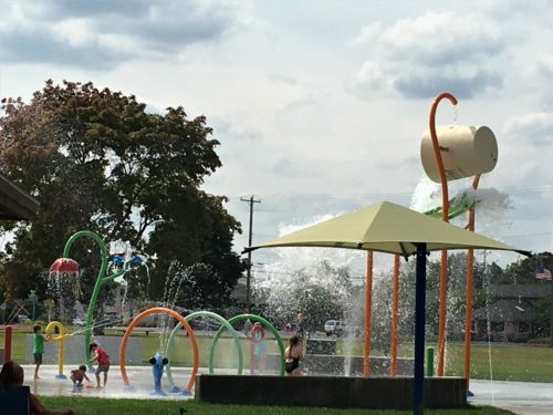
. . . . then it spills out . . .
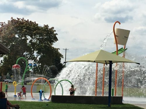
. . . . dumping a ton of water!
What fun!
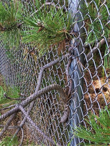
Look how this tree has found its way through the fence!
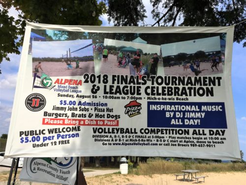
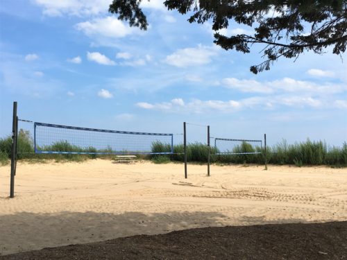
There were three of these.
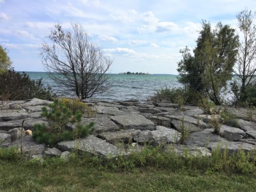
Thus ends our three-and-a-half-hour exploration.
Shortly after we arrived home, the promised thunderstorms advanced bringing torrential rain and high winds.
