Loranger Pines RV Park, West Branch, Michigan
For since the creation of the world, God’s invisible qualities – His eternal power and divine nature – have been clearly seen, being understood from what has been made, so that people are without excuse. Romans 1:20
10:30am – arrived at the Tawas Point Light Station hiking trail. There is a nice rest area here and it looked like during the summer, they even serve food. No food today, though. I guess that means we’re now in ‘post-season’.
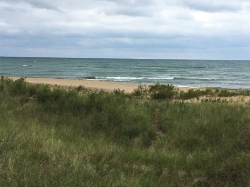
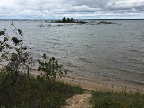
10:36am – a lovely spot to view Lake Huron!
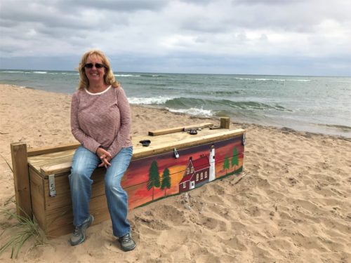
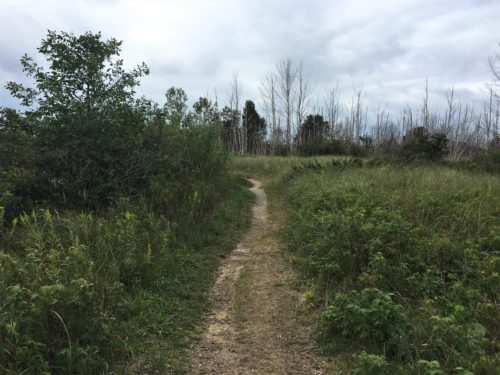
10:40am – we began our hike. The trail was over and through sand dunes, but pretty easy to travel.
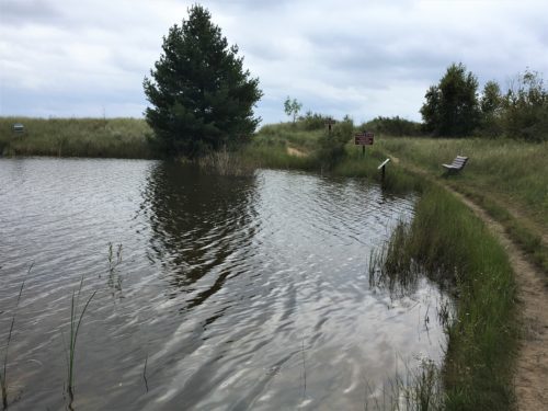
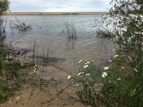
There are several ‘inland ponds’ right beside the Lake.
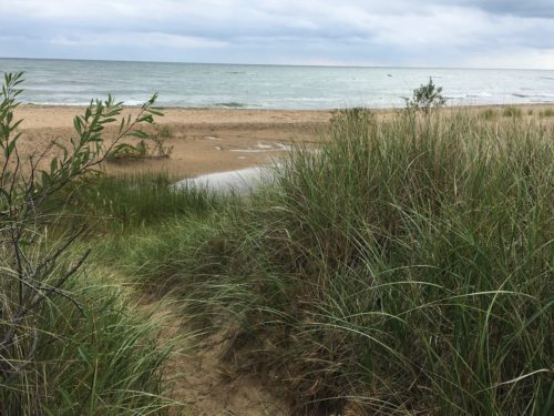
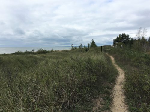
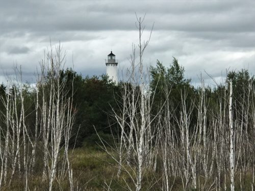
10:44am – our first view of the lighthouse
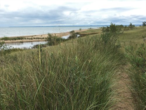
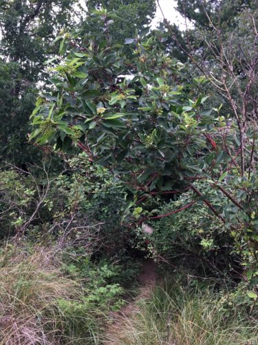
That’s our trail?
Yep . . .
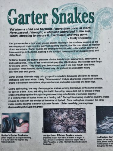
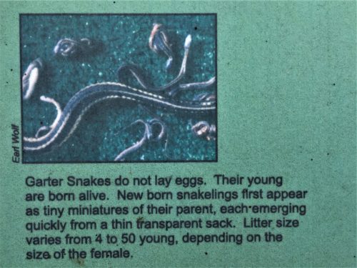
10:59am – we discovered a little know fact. Garter snakes have live births! They are viviparous, as are humans, which means they give birth to live young. We are now very confused. Snakes are reptiles. Upon discovering this fact, I was forced to do some later research, which only served to confuse me even more. Snakes that lay their eggs outside of their bodies are known as oviparous. Those that retain them are called ovoviviparous. Ovoviviparous snakes appear to give birth to live young, but they actually don’t – although there are those who do, known as viviparous snakes. ~Taken from animals.mom.me
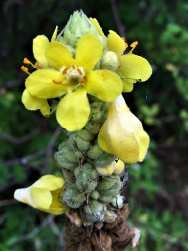
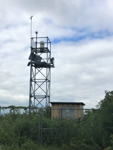
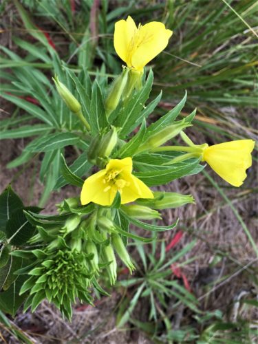
11:03am – we located the fog horn. Not a very lovely sight, but necessary none-the-less. This location also offered up some new wildflowers and milkweed pods, which monarch butterflies feed on exclusively and is the only host plant for them. In the absence of the milkweed plant, monarchs cannot survive.
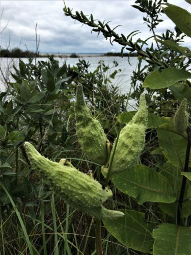
Milkweed = Monarchs!
Who knew?
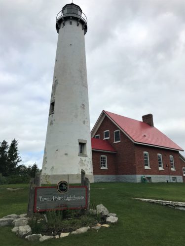
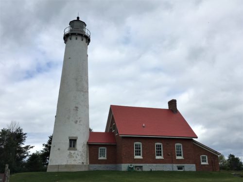
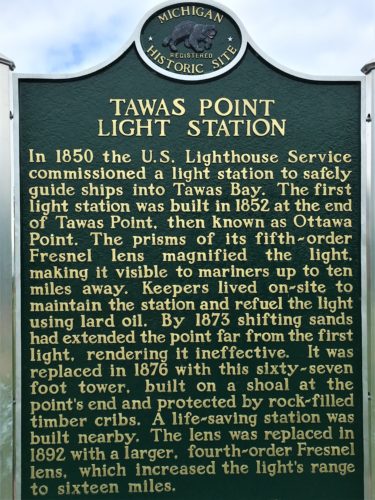
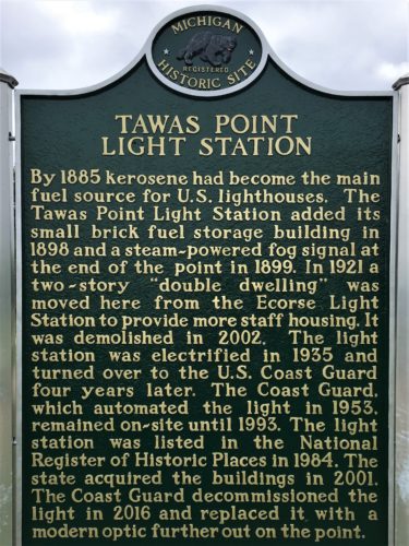
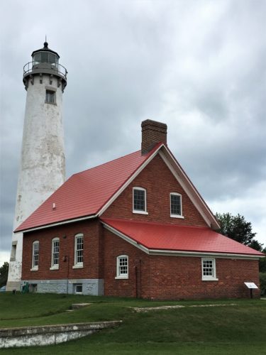
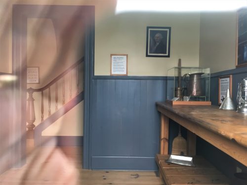
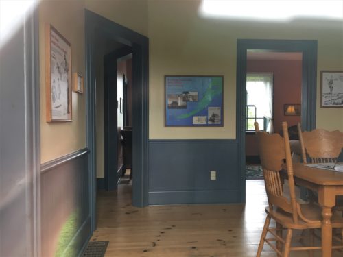
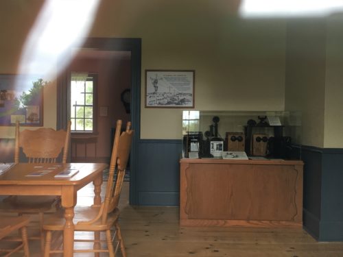
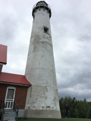
11:19am – we finally arrive at our destination, the Tawas Point Light Station. Unfortunately, it was closed until noon. Our agenda for the day is too full to wait. Instead, we wandered around the grounds. The house windows were too high for me to peer in, but after encouraging Blaine to place his phone above his head and tight against the window (a practice I’ve recently discovered works well to capture the great indoors), we were able to gain limited access to the interior. It also provided us with verification that there was no need to wait around.
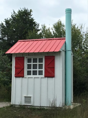
That is without a doubt the fanciest outhouse we’ve ever encountered!
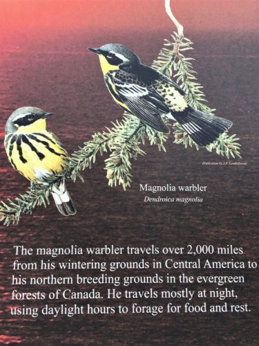
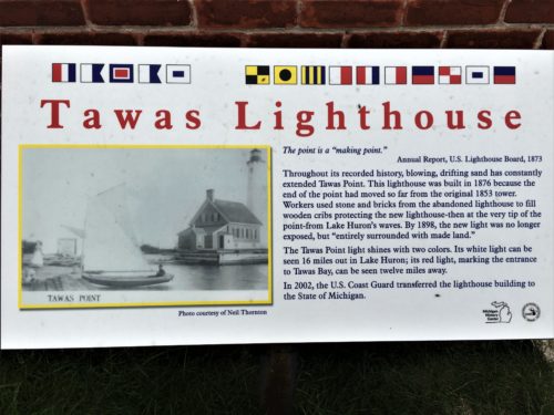
Just some interesting information. We weren’t privileged to see the actual birds.
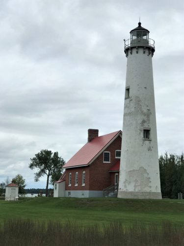
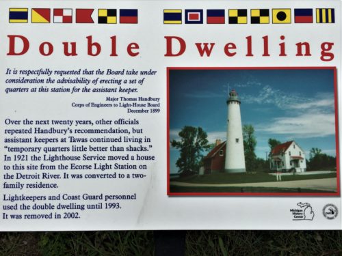
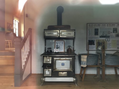
One of four peeks in the windows.
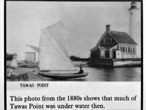
Yes, you’ve seen this picture, but this description was in another area
11:43am – our final view of Lake Huron. Even with the cool, overcast skies, the green-tinted waters were still lovely! From here, we traveled to the start of River Road, a 22-mile National Scenic Byway. Technically, we drove backwards, as we began with point #18, and ended with #1. This allowed us to work our way back towards home.
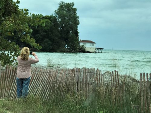
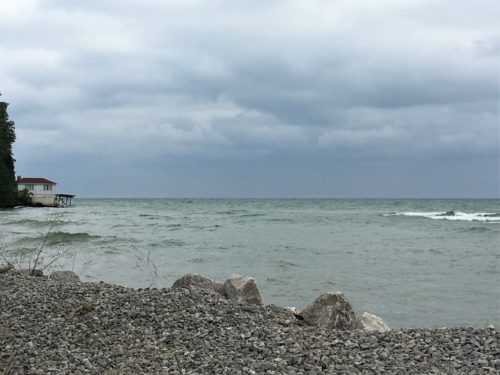
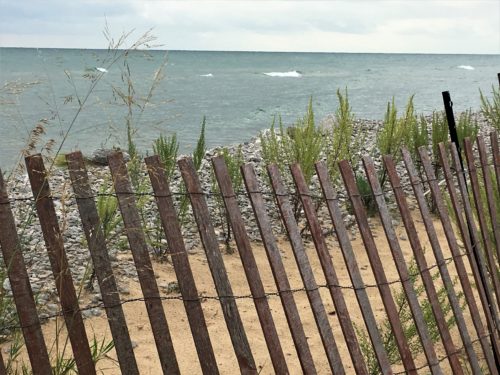
Farewell to Lake Huron . . .
12:09pm – seems to be the end of the road
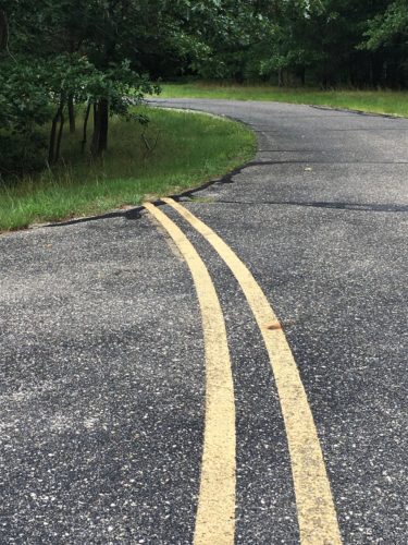
Was someone drinking more than water on the job?
This is the location of point #18, the Eagle Run Trail head. This trail is a seven-mile loop, which, following a quick review, we decided to skip.
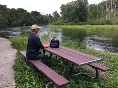
12:20pm – time for lunch. We discovered a lovely spot along the Au Sable River (120 miles of winding river apparently filled with trout), complete with a clean picnic table. By clean, I mean, there were no spiders residing on, under, or beside it. This is stop #17, the Whirlpool River Access boat launch. We kinda, maybe, possibly saw something that may have, sort of, perhaps, remotely resembled a whirlpool. Lovely is what’s most important.
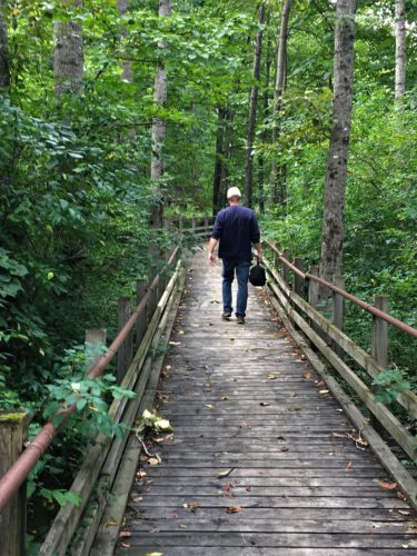
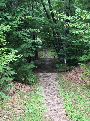
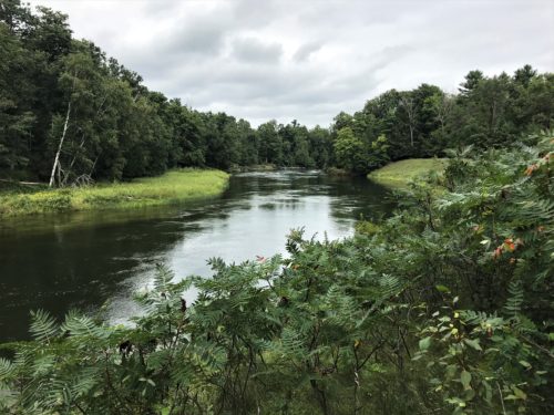
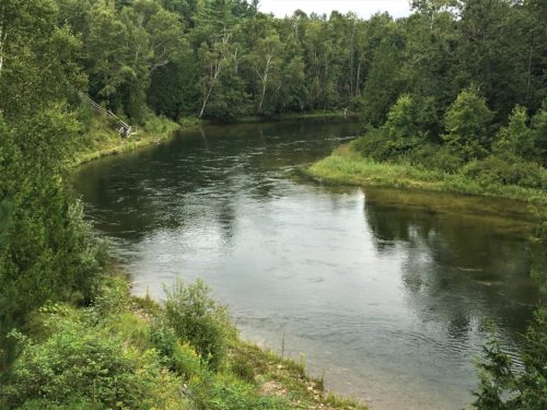
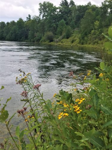
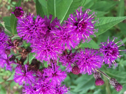
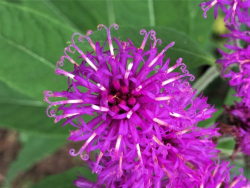
12:52pm – arrived at #16, the Lower Au Sable Scenic Overlook. Here we discovered canoers, many steps, and a spectacularly splendid wildflower! It remains incredible to us that our God is so diversely creative with His creation! Scenic indeed!
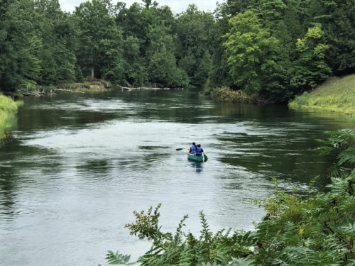
Wonder how far they’re going today? We didn’t notice provisions for a long voyage.
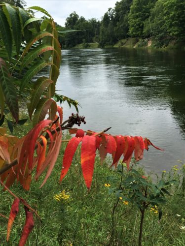
Signs of approaching Fall.
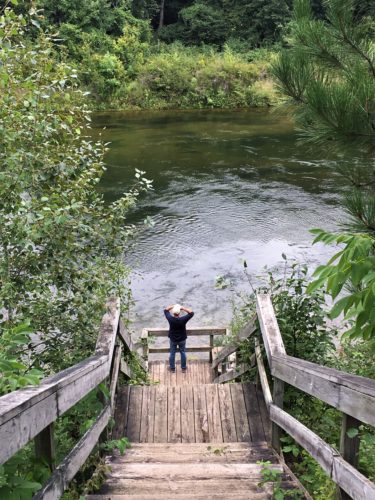
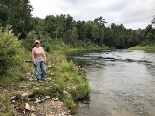
A trail goes along the river and over to a second set of steps that take you back to the other end of the parking lot area.
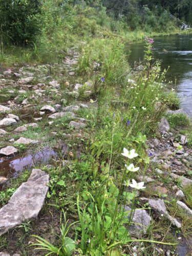
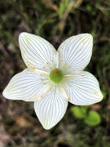
Oh My!
There are no words!
And it’s only a little larger than a quarter!
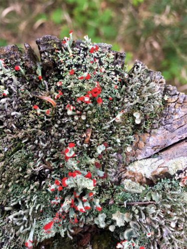
This picture was really difficult to take. The fungus was on top of a fence post. I was too short to see what my phone was seeing. : )
This was at the top of the steps along the path back.
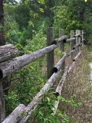
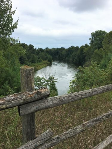
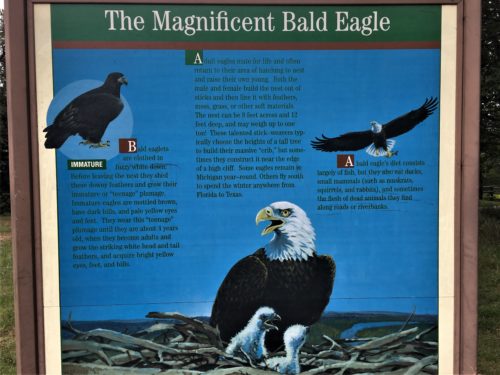
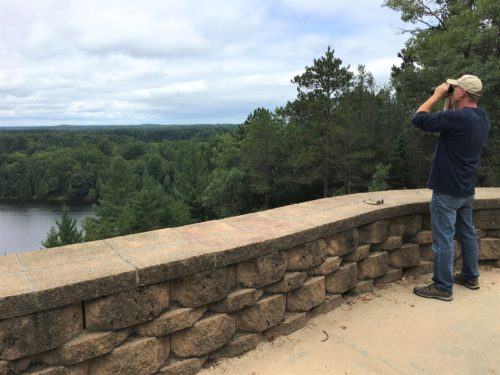
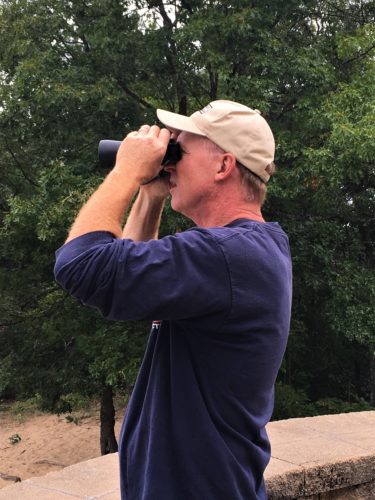
1:26pm – after bypassing #15 (an old dam and fishing area), we arrived at #14, the Foote Pond Overlook, where we searched for the elusive eagles that supposedly nest nearby. They must have been out fishing. We saw no eagles, and no nests.
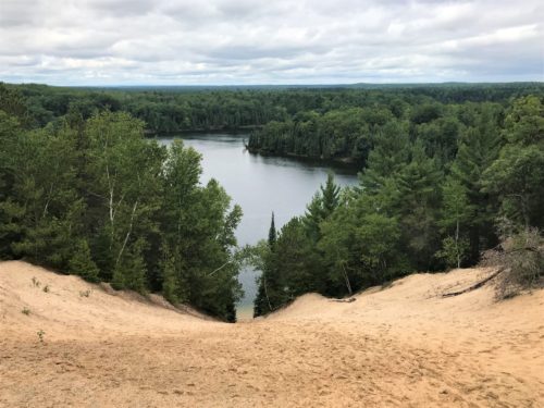
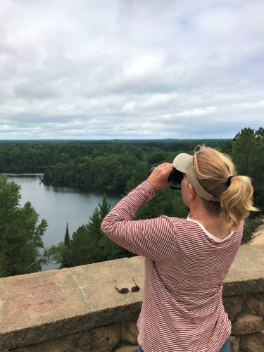
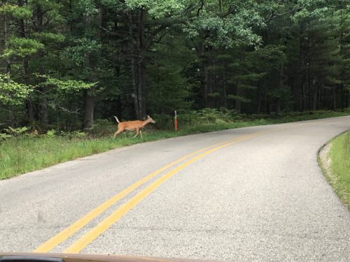
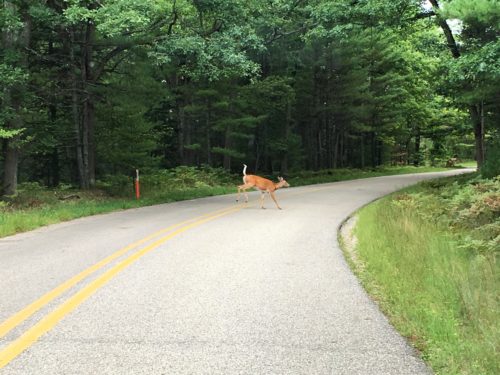
1:46pm – God saw fit to supply a deer and her two fawns! Although the fawns quickly ran across the road, the doe remained steadfast until I was able to get my phone operational.
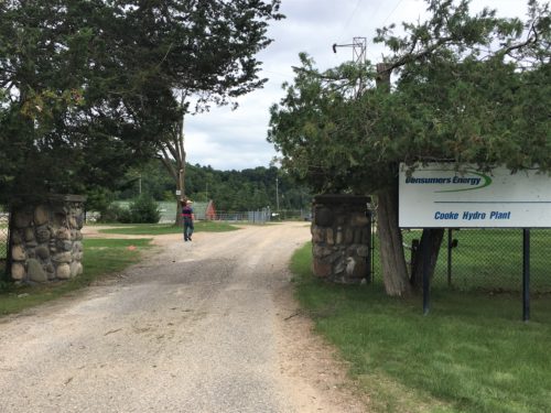
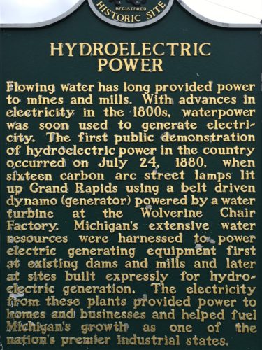
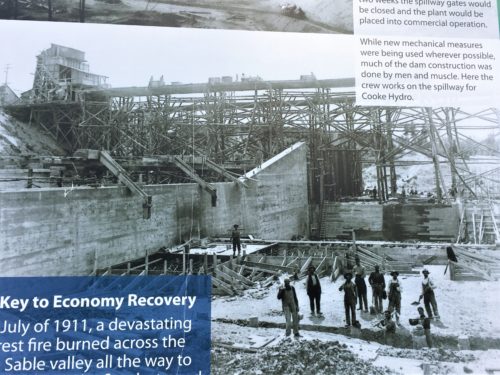
1:49pm – the Cooke Dam Hydroelectric Plant. It was #13. Work on this dam began in 1909, was completed in 1911, but not operational until 1912 because the transmission lines weren’t completed.
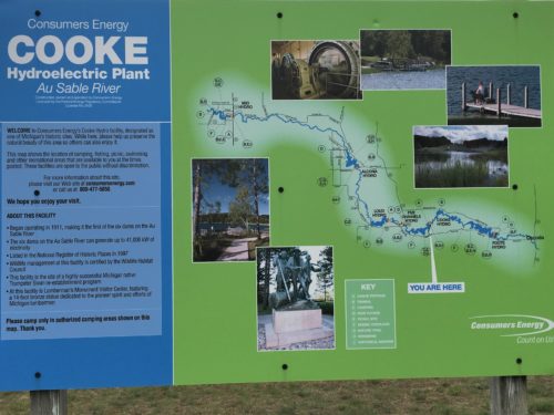
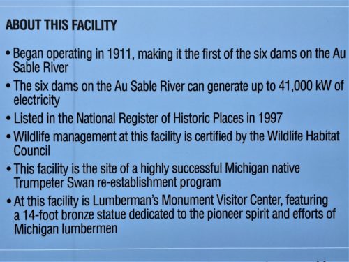
A close up of the most interesting part of the sign – at least in my humble opinion.
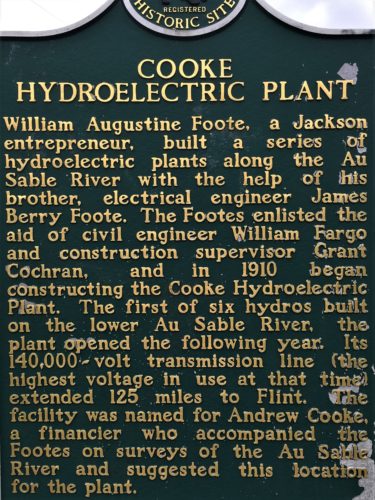
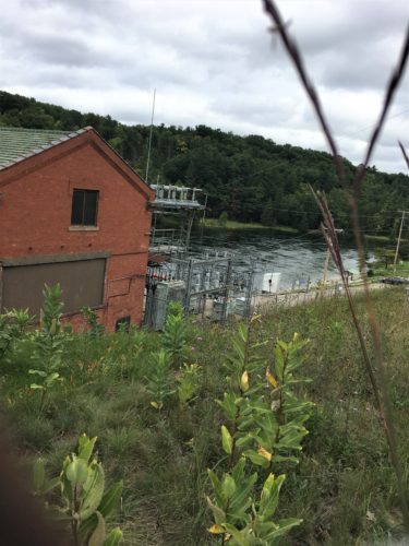
There it is!
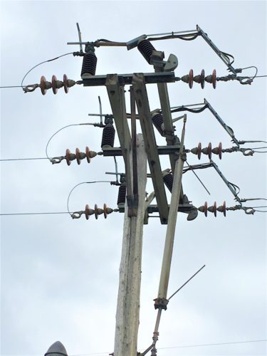
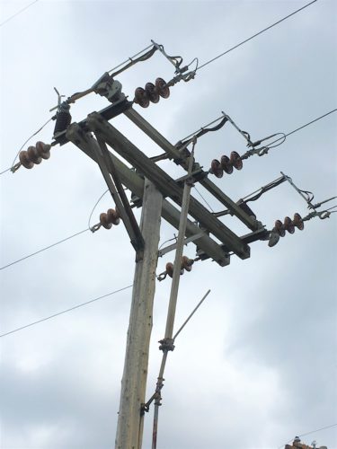
My commercial electrician husband tells me that this is a manual shut off.
They pull down on that wooden pole, which lifts the “cut-out” switches on top and disconnects the power.
We weren’t pleased with our viewing options, until we walked around and down a service road to the back (or was it the front?) of the dam.
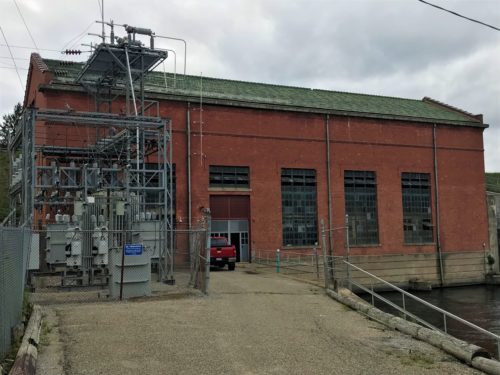
That’s better!
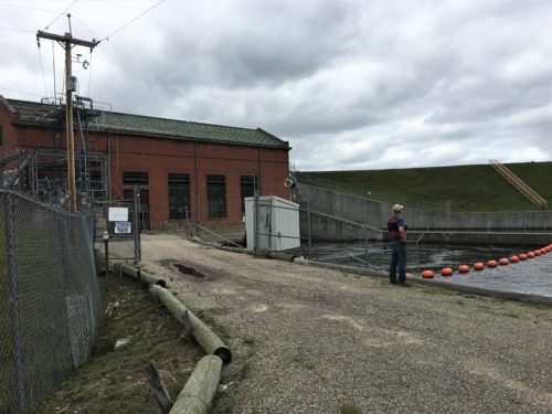
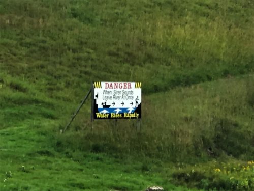
This was a VERY large sign across the river.
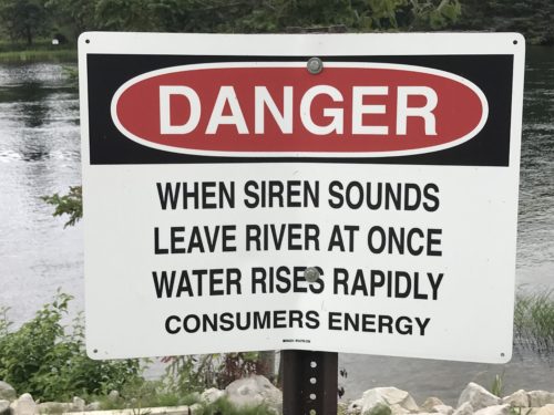
This one was much smaller and right beside where we were standing.
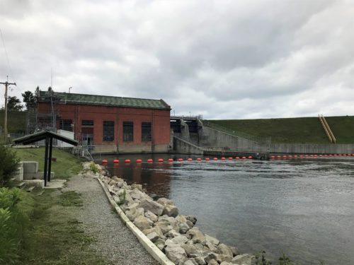
Remember this picture.
Later we ran across an old one taken from the other side of the river.
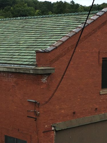
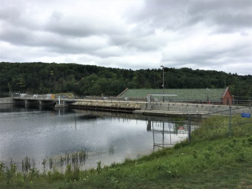
The dam
2:06pm – the local sheriff has apparently gone fishing. And we found ourselves wondering how long it would take him to answer a call.
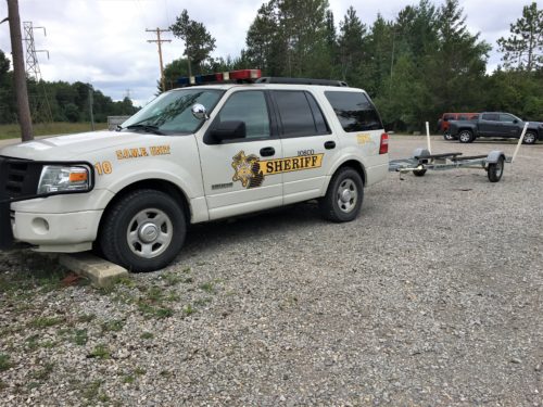
Gone fishin’ . . . ??
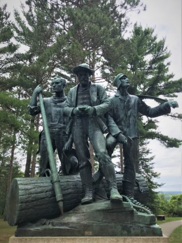
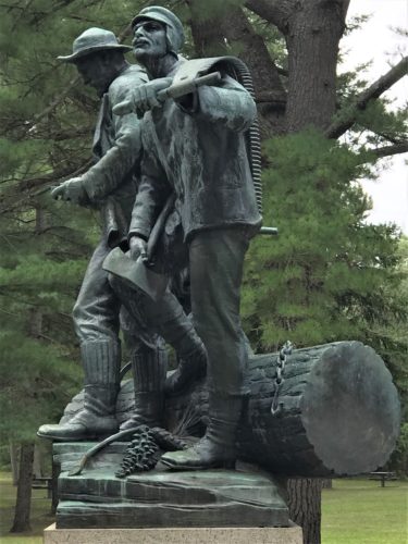
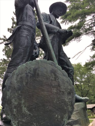
2:13pm – this is stop #10, passing by a campground and a Kiwanis monument. The Lumberman’s Monument is home to a 14-foot statue, some hands-on exhibits, and information on the lumber industry in the area during the 1800’s. The statue was dedicated in 1932 and cost $50,000.
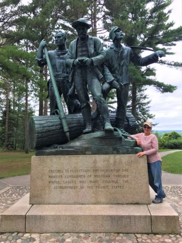
Size perspective. : )
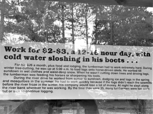
These displays were outside and the reflection was terrible.
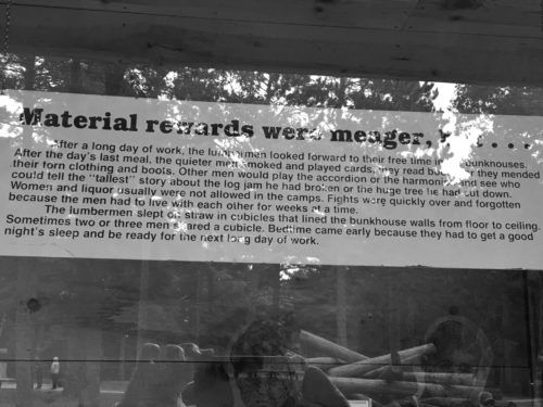
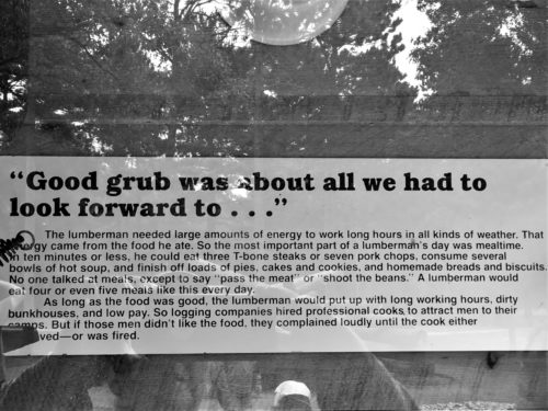
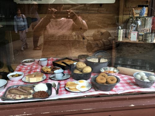
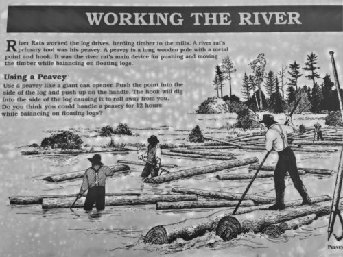
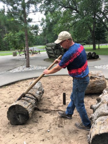
Trying his hand at the Peavey
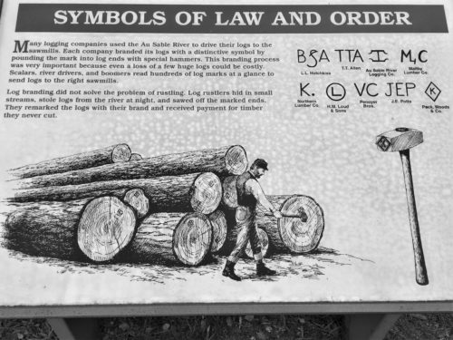
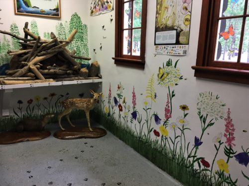
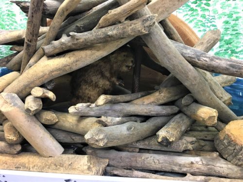
A tiny beaver in a tiny dam. : )
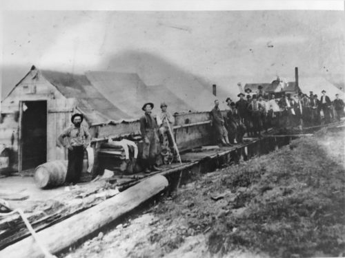
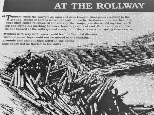
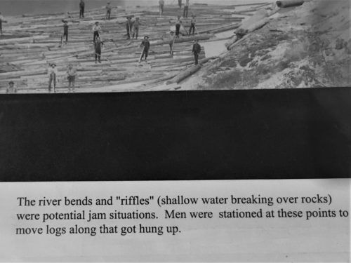
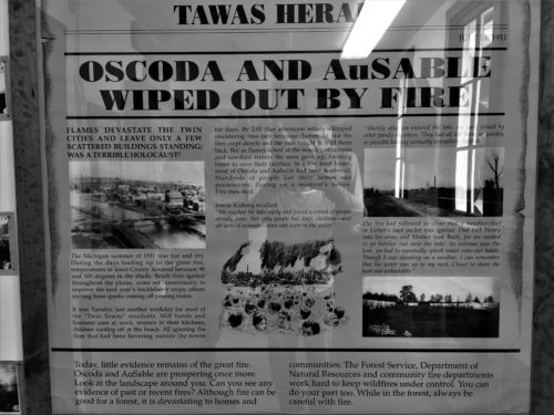
Great pictures we found in an album!
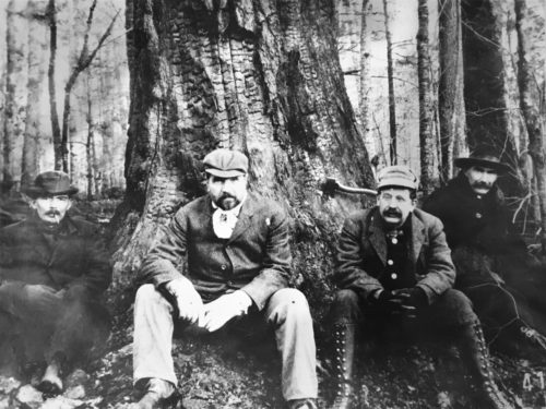
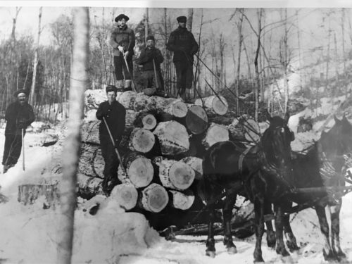
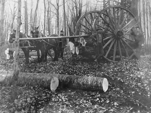
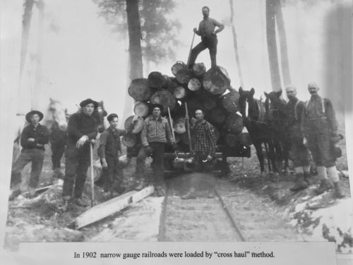
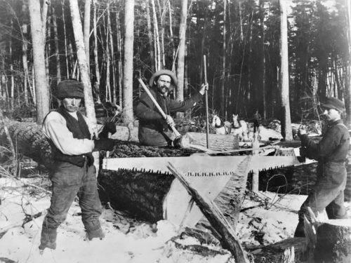
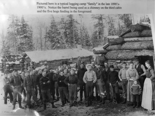
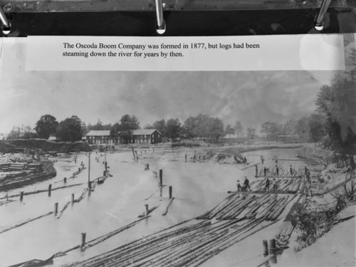
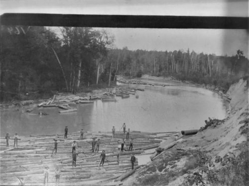
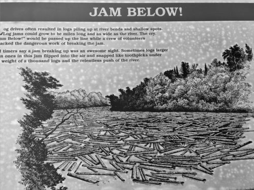
Thee description on this one was too far from the picture, so it’s next.
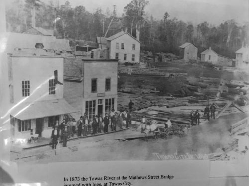
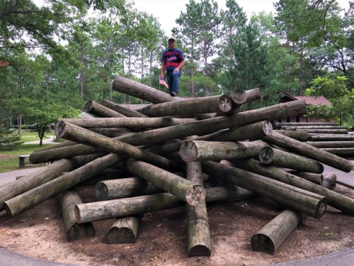
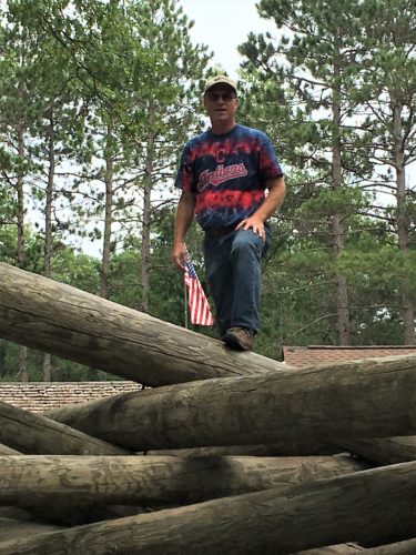
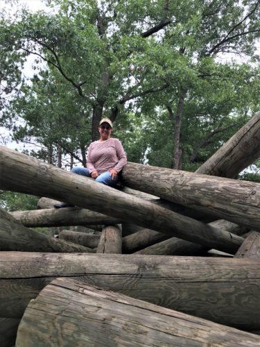
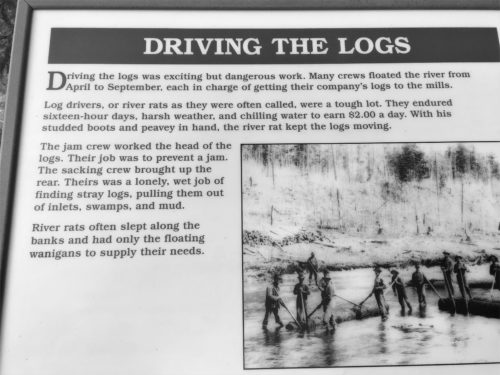
Back outside, they had this ‘log jam’ for visitors to climb on.
I’ll bet it wasn’t this sturdy for the loggers!
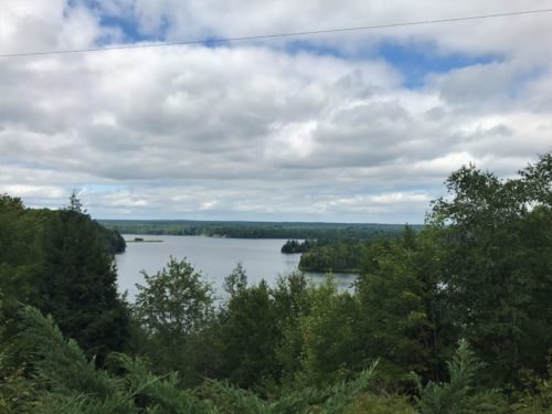
The view from behind the Monument.
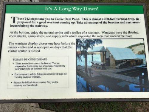
Lots more steps!
On the way down . . . .
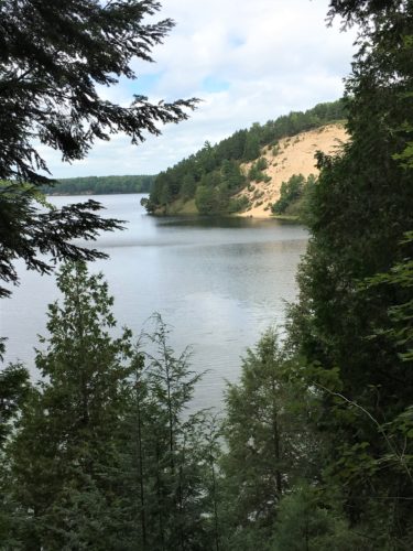
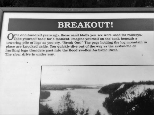
This is the view for the “breakout”
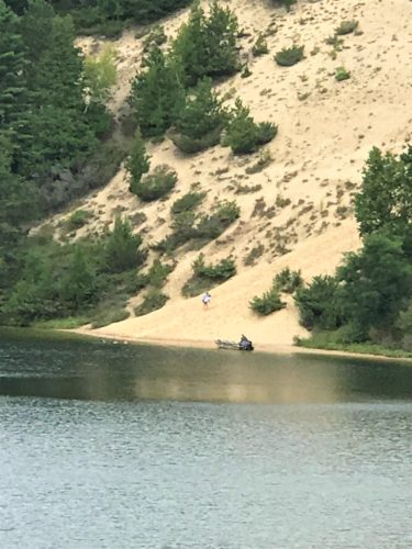
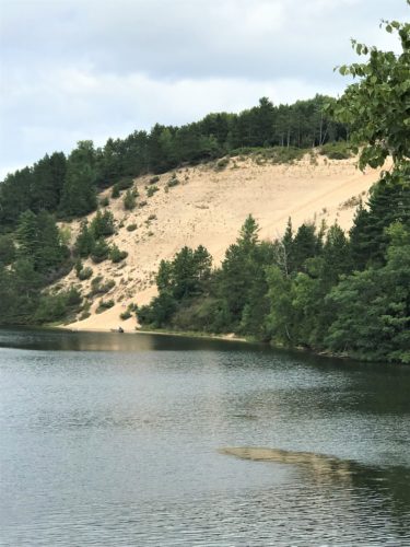
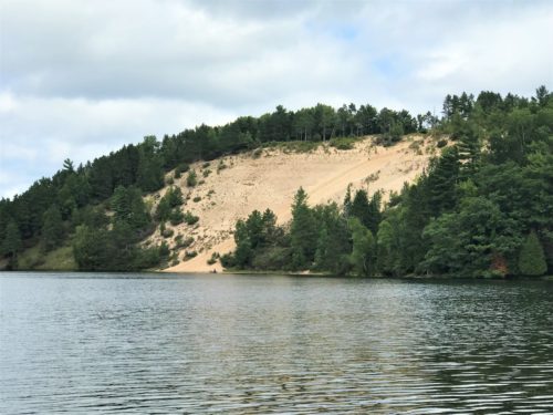
Once we got to the bottom, we paused to watch kids sliding down the sand dune.
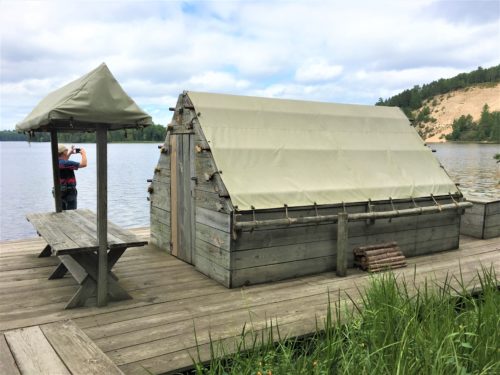
The purpose of our climb – the Wanigan replica.
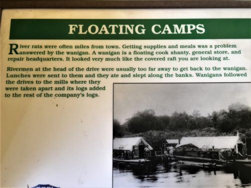
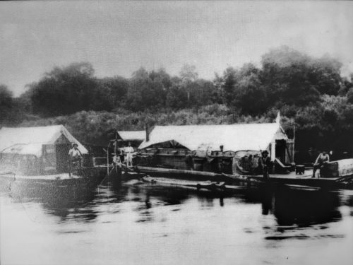
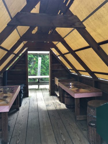
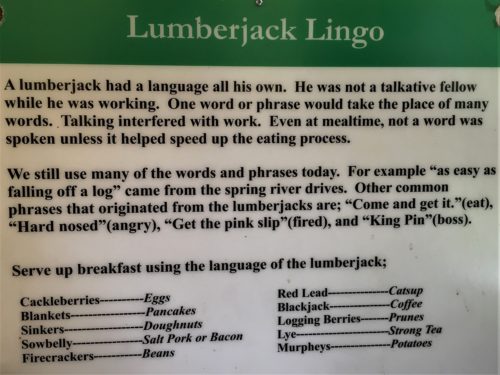
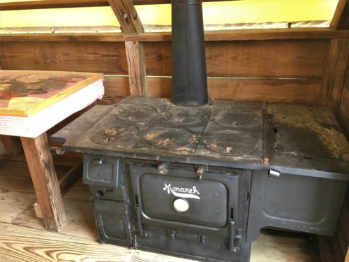
That’s a really short stove!
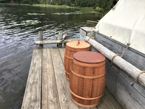
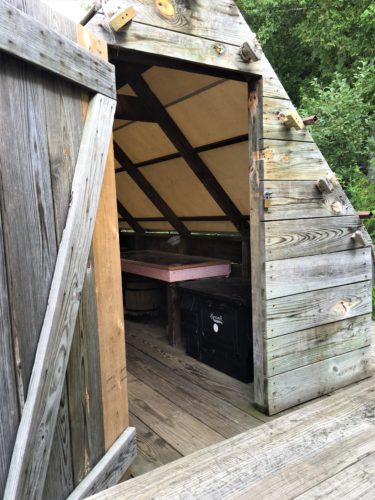
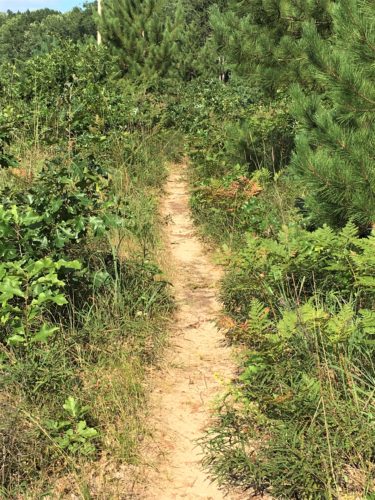
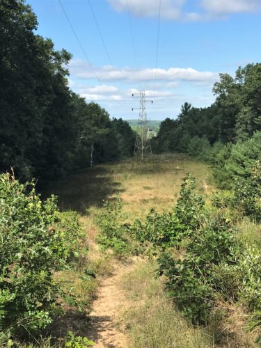
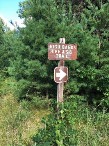
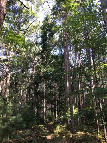
3:10pm – from the Lumberman’s Monument, we began a lesson in perseverance. The Highbanks Trail (#9) was supposed to be here somewhere. Finding it wasn’t really the issue. Staying on it was.
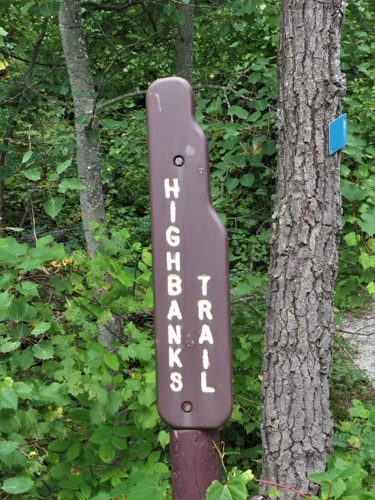
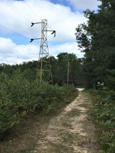
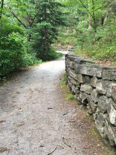
Another wall brought to you by the CCC. : )
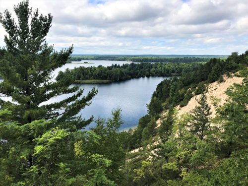
What a view!
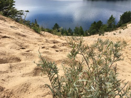
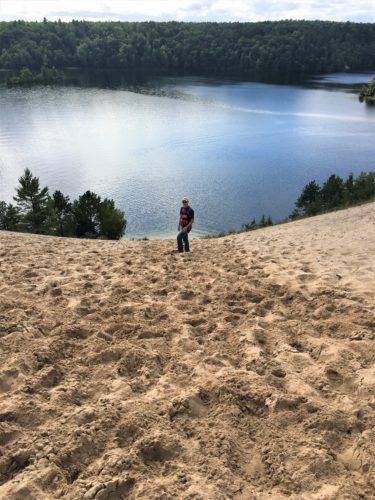
We’ve arrived at the sand dune the kids were sliding down.
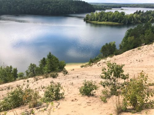
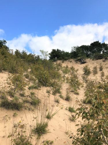
I climbed up as high as I could, while Blaine stayed on the trail.
Kind of a switch, huh?
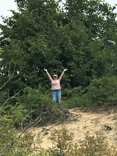
I’m still up there – Blaine zoomed all the way in . . .
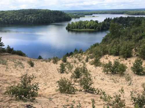
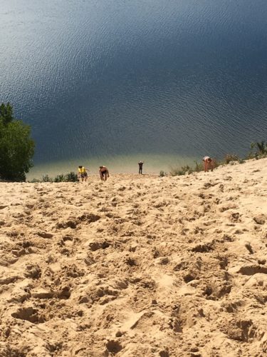
That’s my view!
And that’s teeny Blaine down there.
Can you find him?
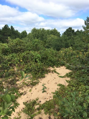
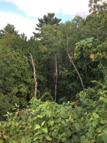
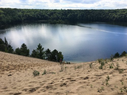
Two pictures of what I could see behind me.
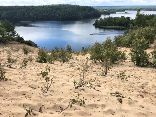
Once I returned, which didn’t take as long as it did going up, Blaine decided to go down to the water.
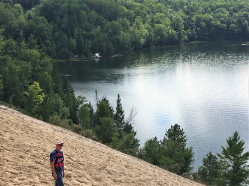
That building is the Wanigan we were just at.
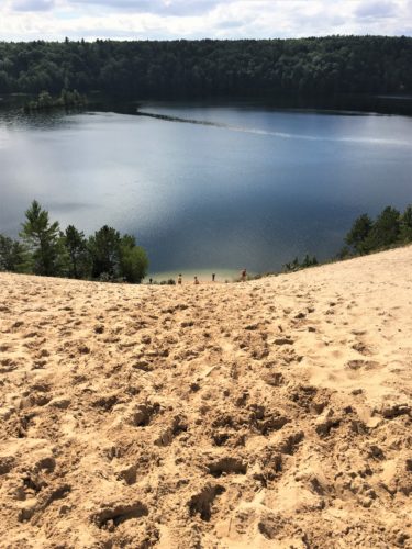
Three kids decided to come up as Blaine was going down. He told me later that two others were throwing rocks at him until their parents finally yelled at them. What???
Anyway, that’s Blaine – second from the right.
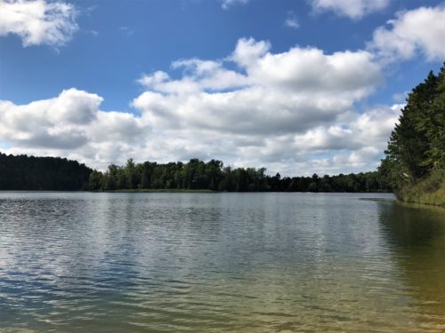
The view at the bottom.
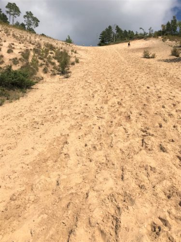
Yeah. I’m up there.
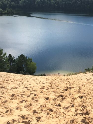
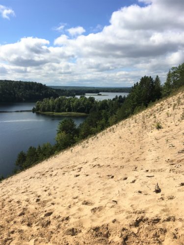
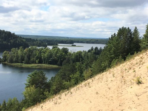
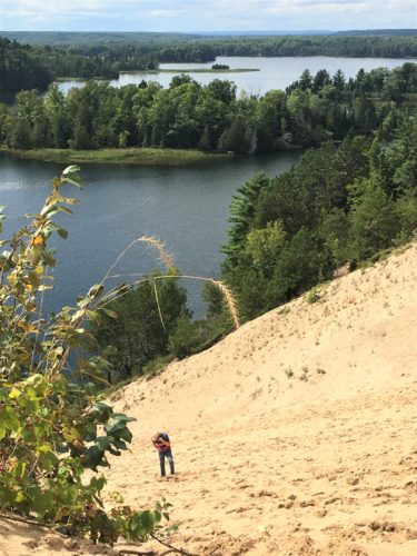
He actually got a phone call from our oldest as he was trying to get back up.
Nice break for him! : )
Especially since the sun has come out in a blaze of glory! It’s stinkin’ hot and we’re now over-dressed!
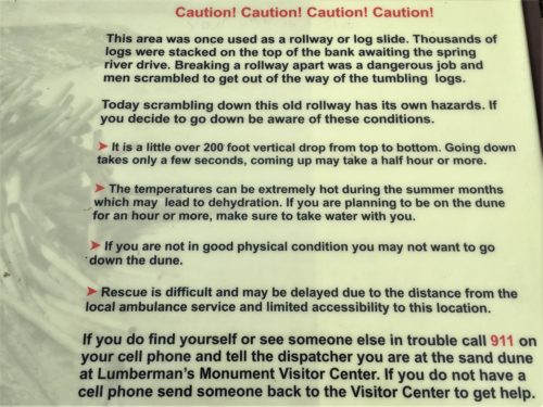
We spotted this sign AFTER we’d been out on the dune, and after we’d dumped our shoes.
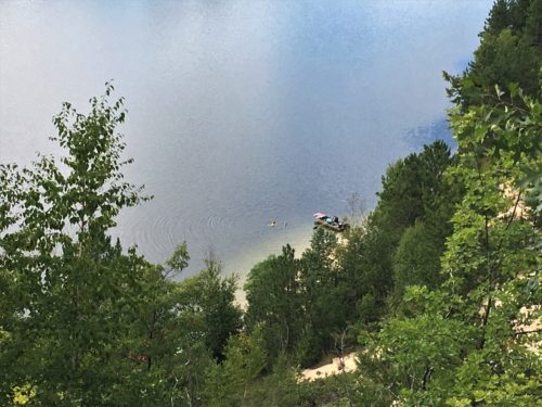
We’re trying to find the trail again.
It ended up being across the dune, so we had to go back over it. : )
3:54pm – we finished off the last of our meager food stuffs, when we ate our apples. We are left with ½ a bottle of water, tic tacs and two apple cores.
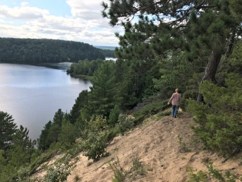
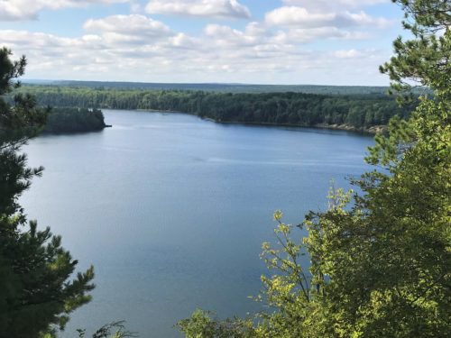
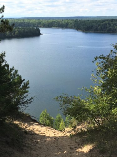
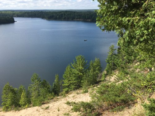
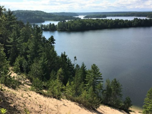
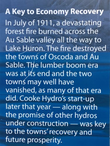
There were two intriguing overlooks along the way, and some very large information boards set up near the end about the six hydro dams strategically placed along the river from 1911 – 1924. Finding our way required great effort, Google maps, common sense, and a uncommonly acute sense of direction.
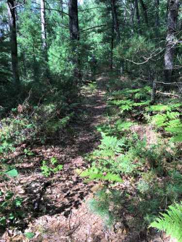
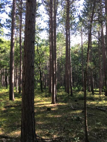
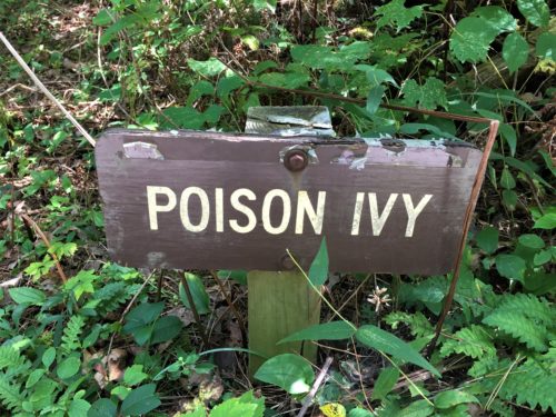
Nice of them to provide a sign, but which of all these things is actually the poison one?
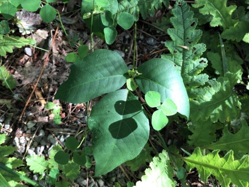
We’re pretty sure it’s this one. : )
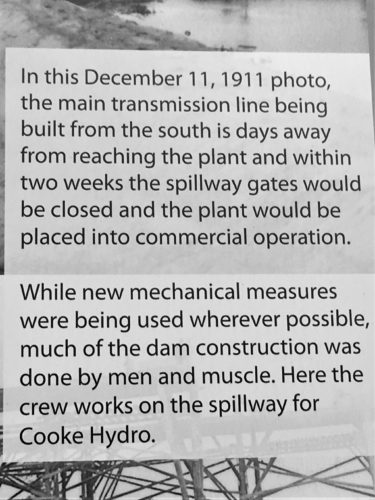
There were boards on all the dams, but we just looked at the Cooke one that we visited today.
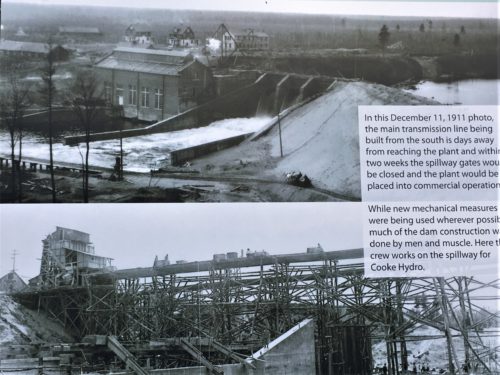
This is the picture I mentioned earlier.
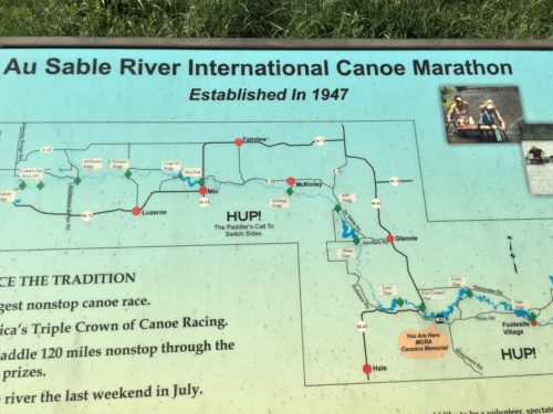
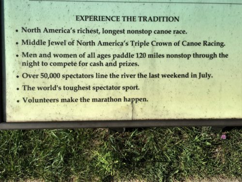
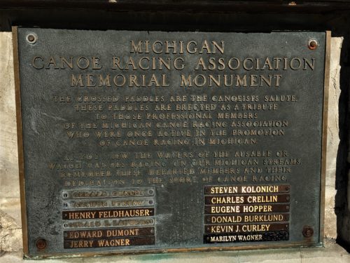
5:19pm – made a quick stop at #8, the Canoer’s Memorial. There is an annual canoe marathon race on the Au Sable and this was erected to honor those who’ve participated. The racing has commenced every year since 1947 and was originally suggested as an aid to tourism. That September, 47 teams (as in 2 men per canoe) entered their wood and canvas canoes and 15 teams completed the race. The winners managed it in 21 hours and 40 minutes. The 2018 winners competed with 90 teams and completed the race in 14.5 hours – 13 minutes ahead of the second-place team. Hunger is beginning to gnaw at our bellies. The few pieces of meat, cheese and crackers and the apple no longer sustaining us.
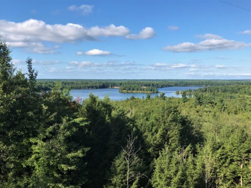
The view from the Memorial
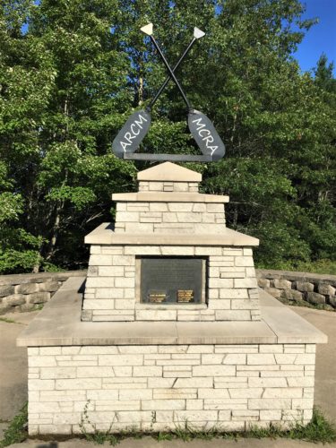
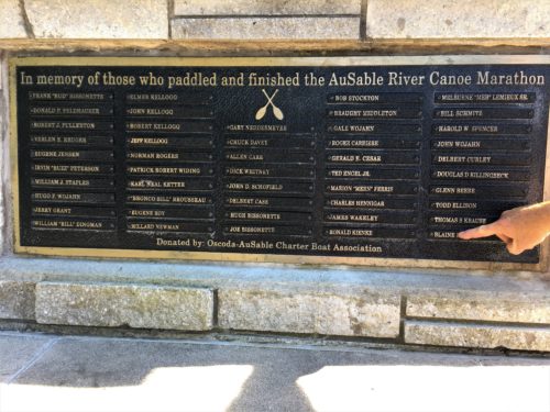
Look what Blaine’s pointing at! : )
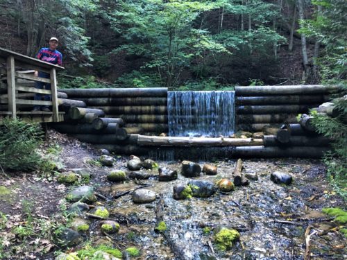
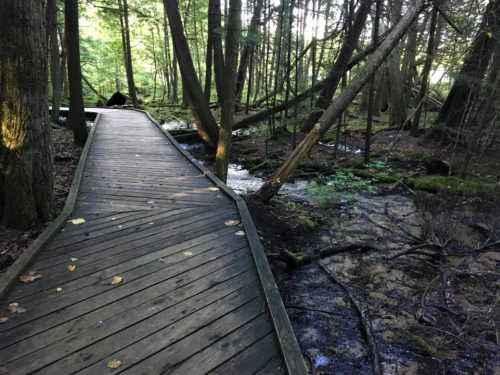
5:28pm – this must be our final stop, although it’s only #7 on the tour, because according to our stomachs, it’s dinnertime. This is the Iargo Springs Interpretive Site. In the 1800’s, the springs were dammed to provide water to riverside logging camps. In the 1920s and 30s, the springs attracted visitors from the bluff area. This was a lovely spot, but due to our gastrological demands, we weren’t able to enjoy it as much as we normally would have. We did however, spot what we believed to be an otter, swimming too far away to take a picture.
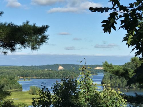
This is not the Springs.
This is the view from the parking lot – – before you head down.
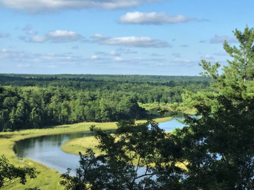
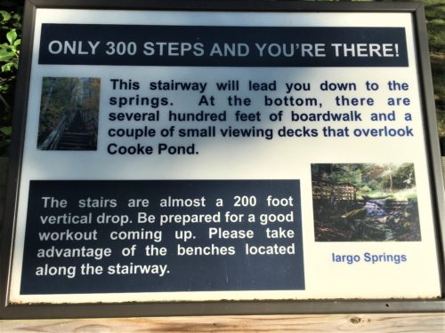
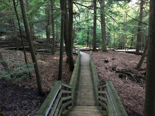
Oh no! More steps!
What a workout today!
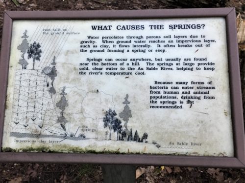
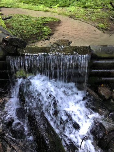
That’s not a path. The water’s so clear here, you can barely see it! That’s sand under the water.
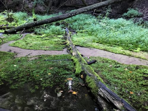
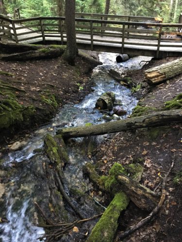
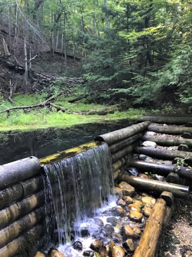
There are actually a bunch of springs down here!
What a cool – literally and figuratively – place!
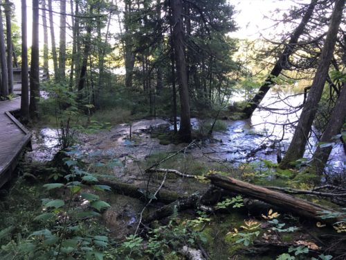
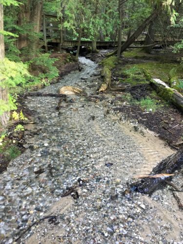
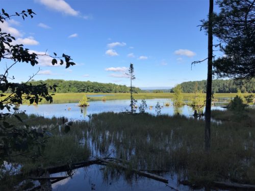
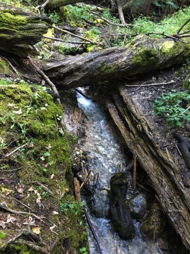
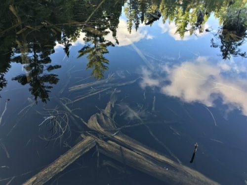
What a picture! This is not upside down, that’s actually the reflection on the water!
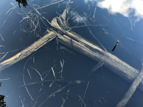
Believe it or not, that wood is probably at least a foot under the water!
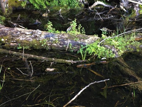
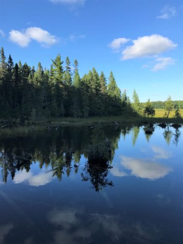
Over there’s where we spotted the otter swimming.
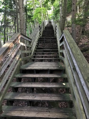
Ugh!
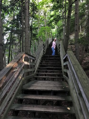
Are you coming or what?
6:10pm – we are still an hour from home and the BLT’s waiting for us for dinner, made with tomatoes purchased at a roadside stand yesterday, and we began to think that we wouldn’t be able to make it home and cook dinner before we eat.
6:15pm – the decision is made to stop at a restaurant somewhere along the road on the way home. Blaine is driving as fast as possible.
6:18pm – we passed an Amish buggy. We considered asking them for some vegetables or baked goods.
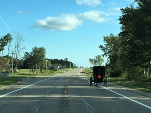
Hey! Ya got anything to eat in there??
6:27pm – if only it were Friday. The Fraternal Order of Eagles we passed advertised a fish fry. Did you catch the irony? Eagles – fish? Ha! I believe delirium must be setting in . . .
6:35pm – still no food options. Where do people eat around here? We are considering the apple cores. I once knew a girl who ate apple cores along with the fruit on a regular basis. She seemed alright. I can actually feel my stomach shriveling, but maybe that’s a good thing.
6:53pm – Arby’s! We’re saved! The fact that I’m writing this, proof we survived.
7:12pm – our stomachs full of sandwiches and curly fries, we’re back on the road.
7:31pm – we’re home. Just in time for showers and a recorded movie. It was called “Big Night” and had lots of well-known actors in it and decent reviews, but we didn’t get it I guess, because we didn’t really enjoy it. It was a comedy-drama set in the 1950’s and the plot was two Italian brothers trying to make a go of their restaurant.
Whew! Long day! It takes me forever to complete a post when we have days filled with variety. Wonder what’s on the agenda for tomorrow?
