As I mentioned in a previous post, we had to pay to get off the island. Add in the price of fuel for the coach since we were almost empty and it cost us about $370 to leave! YIKES! But Blaine crunched the numbers and we’re doing really well keeping to our budget – even a bit below in some areas! YEAH!
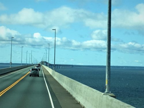
A bit nicer day than when we came onto the island! : )
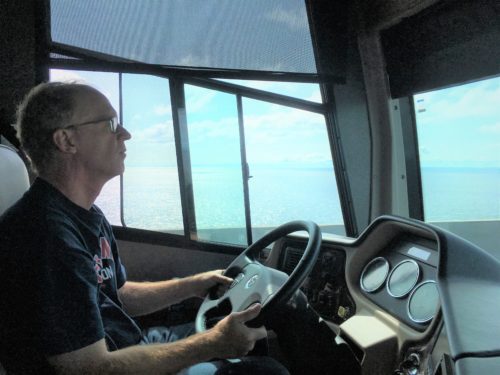
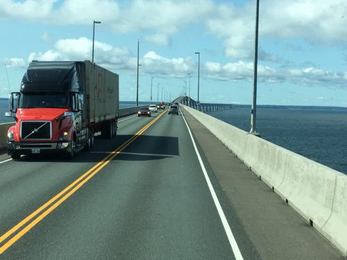
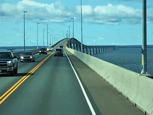
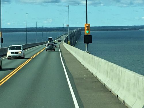
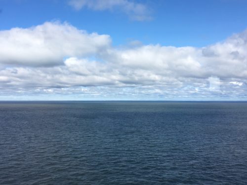
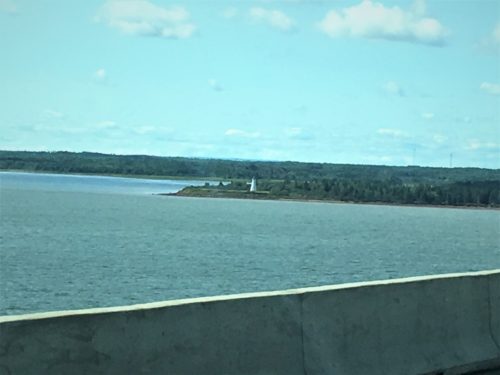
Here’s some info on the bridge:
The Confederation Bridge was opened for the first time on May 31,1997 at a cost of $1B. Building it was highly debated in the 1980’s. Some were concerned about their livelihood being threatened. Others were excited about the potential for increased revenue. (Before the bridge, a ferry was the only option.) In 1988, they decided to let the people vote on it. Building barely won with 59.8% of the vote. Building began on October 7, 1993. At 8 miles (12,900 metres), it has the honor of being the longest bridge over ice-covered water in the world.
Wouldn’t it have been cool to watch it being constructed??
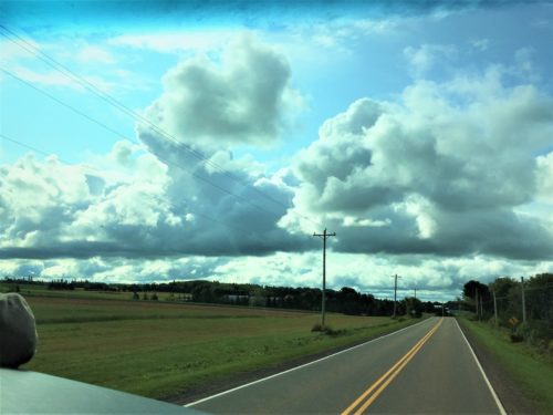
Taken just after the bridge.
The only place we’ve seen these types of clouds is in New Brunswick – large, flat-bottomed, puffy clouds. And we’ve not seen a rainbow since we left NB!
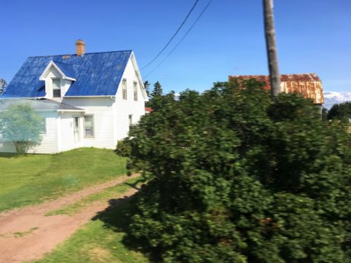
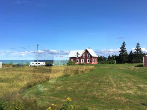
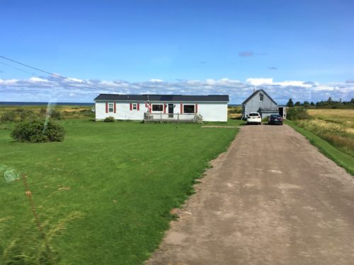
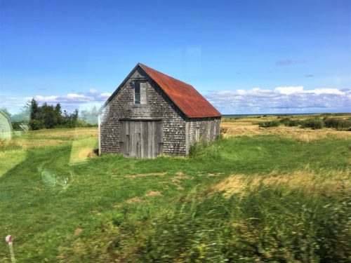
We’re back in New Brunswick, Canada and the road (if you can call it that) from the Confederation Bridge (where we leave the island) to Moncton, NB was every descriptive negative “H” word you can think of! Don’t be silly! Not that one! I’m talking Horrible, Horrendous and Horrific! 26km of ‘worse than Ohio’ roads, AND it’s part of their ‘scenic drive’ so you’d think they’d take better care of it.
Here’s some views from the road. Since they were all taking from a moving vehicle, they’re not great, but at least it gives an idea of what we saw – but not how it felt. : )
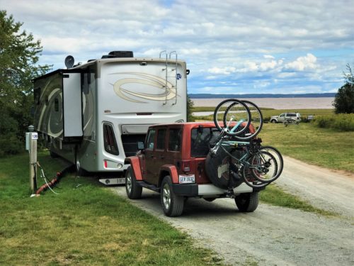
We’re staying at the Ponderosa Pines Campground less than 5 minutes from Hopewell Rocks.
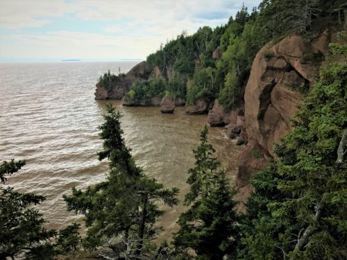
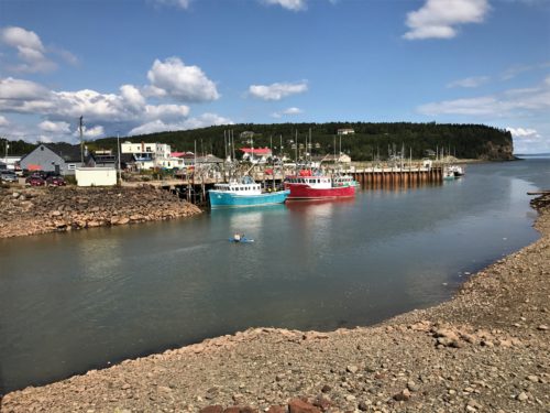
This is near or at high tide.
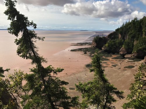
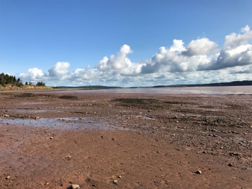
Low tide, there’s no water!
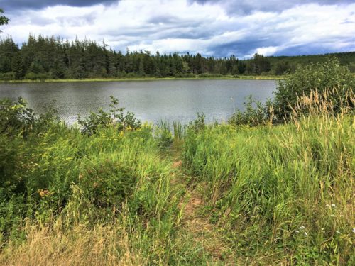
A fresh water pond just in front of our site. Years ago, the previous owners built up the land forming a dam against the briny bay.
Their paperwork said moose often visit the pond.
No moose.
Hopewell is actually called The Rocks Provincial Park and is noted for its dramatic tide changes – it’s sort of on the opposite side of the Bay of Fundy from Burntcoat Head. We had to pay for this one. $10 each, but it’s a 2-day pass.
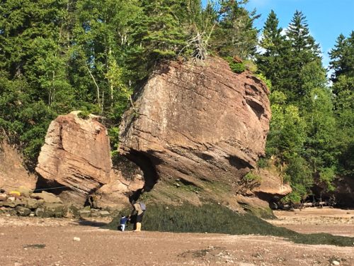
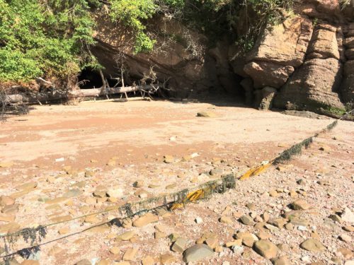
We didn’t stay real long because it just wasn’t quite as impressive as Burntcoat. But then, what would be?? Their ‘claim to fame’ is the rocks. They don’t have the big beach like we saw before, but they have mud flats. However you can’t walk or go mud sliding (yes. there are actually signs telling you that) on them (not that I’d want to!), because there are these tiny creatures who live in them and the 2 million shorebirds that come for the summer need them. We didn’t see any birds. They must have already finished dinner and gone home.
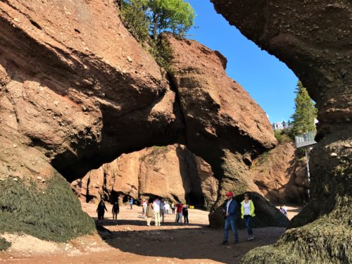
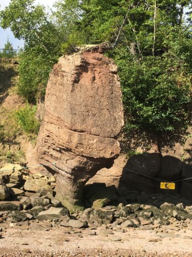
Anyway, back to the rocks. What is amazing here is that you can actually SEE the depth of the tide. The before and after pictures are quite striking! We saw high tide first on the afternoon we arrived, and then went back in the morning for low tide. Surprisingly, we overheard several people who only came for one or the other. They really missed out! You can see from the pictures the dramatic tides in this place – and by this place, I mean all around the Bay of Fundy! For that reason alone, we’re soooo glad we went!
I’m putting in our comparison pictures first. I only wish I could put them side-by-side. : (
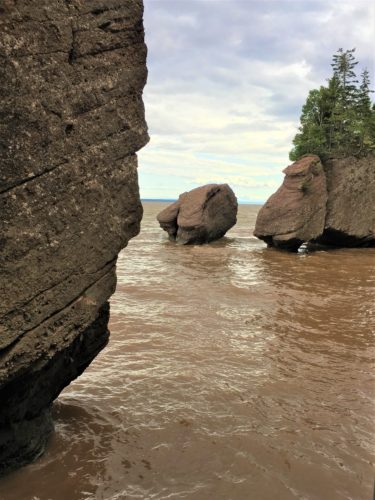
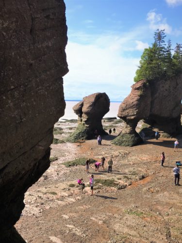
This is a video to go with the previous pictures: IMG_2397
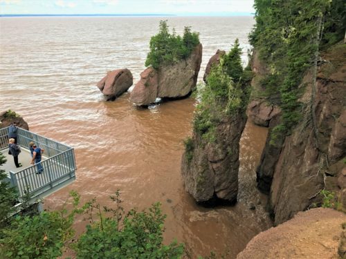
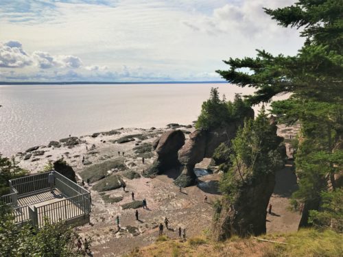
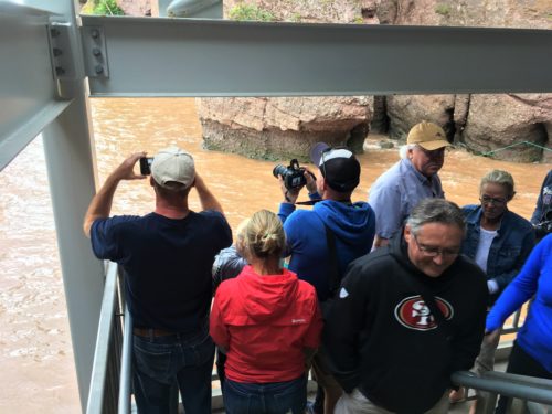
Just look how crowded it was at high tide! This was as low as we could go.
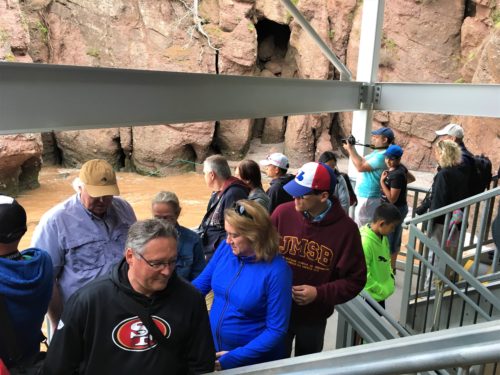
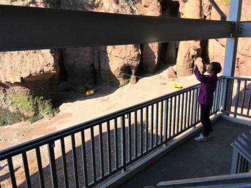
Not so busy at low tide. : )
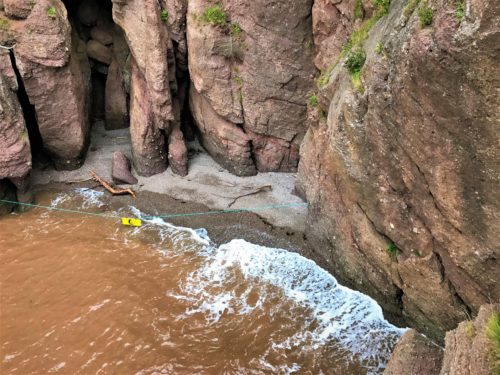
This is the same place as the previous picture, just higher up.
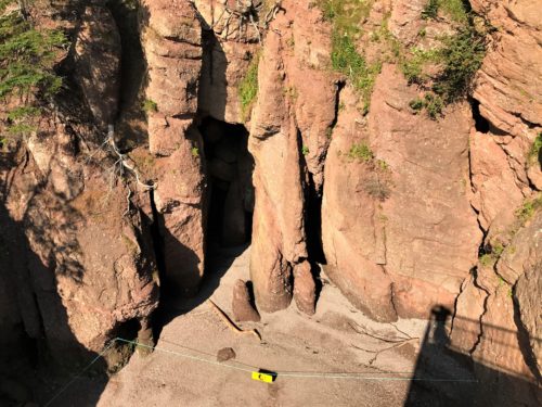
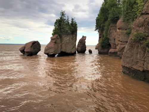
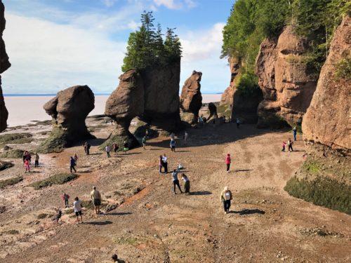
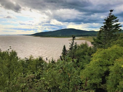
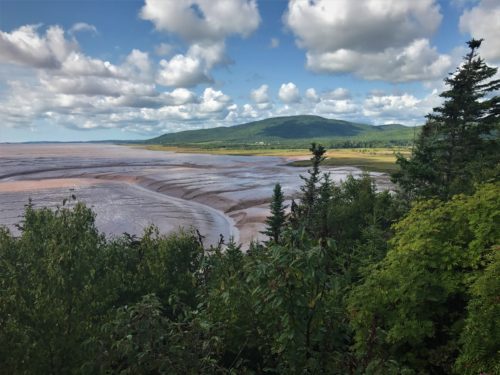
I don’t know why these mud pictures came out gray/black. (???) The mud was as red as the rocks. . . .
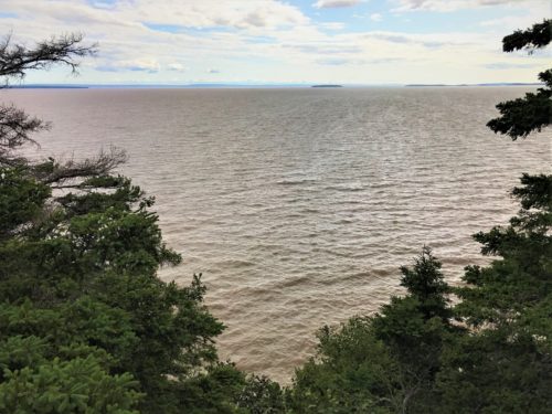
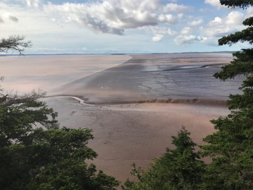
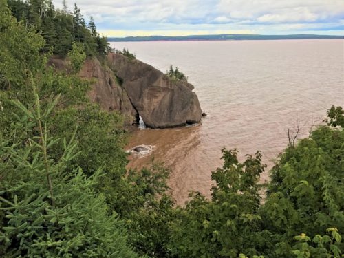
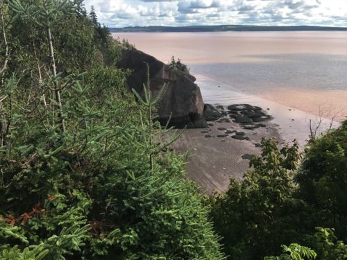
And now the rest of our random pics. Forgive me if you get some duplicates . . .
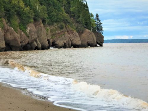
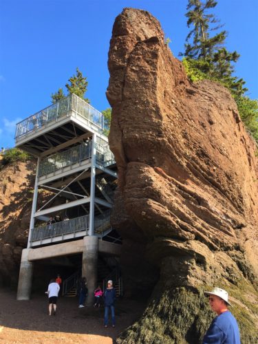
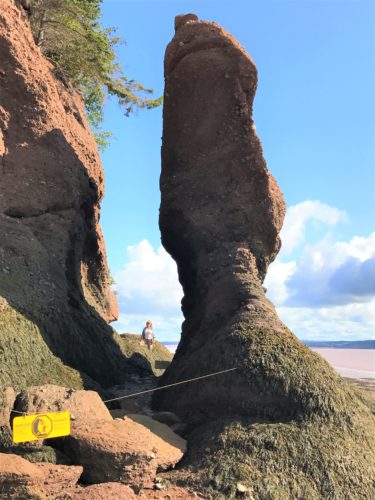
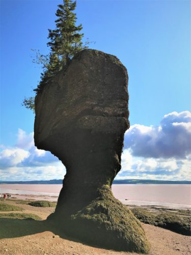

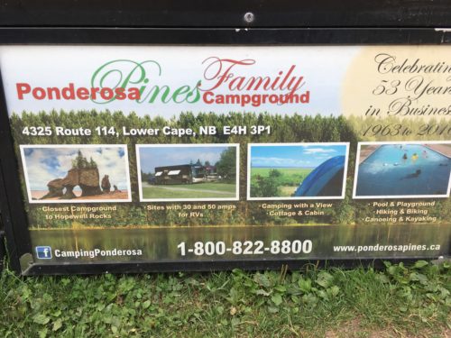
Look what we found! An ad for our campground, right along the trail to the Flower Pots (as they call them)
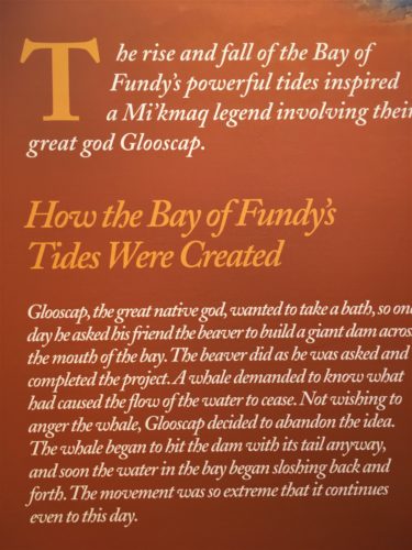
In the visitor center, there were a few Mi’kmaq legends posted. Glooscap was kinda like their Zeus – their creator. Not a particularly happy guy, he was often changing people into rocks. . . .
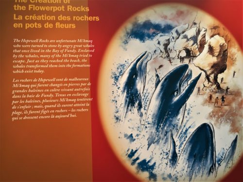
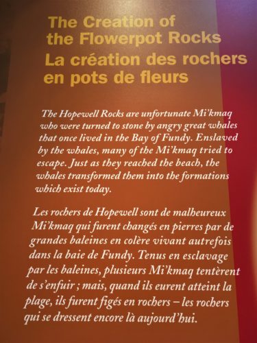
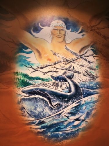
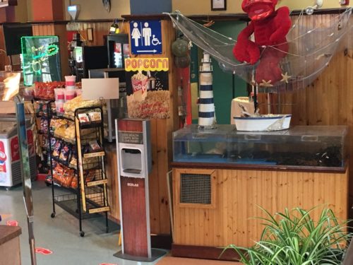
I found this very interesting – a snack bar that also serves lobster!
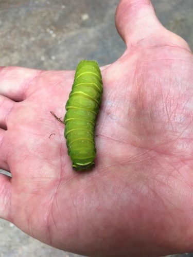
Don’t know what this will turn into . . .
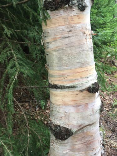
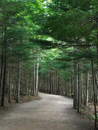
There were lots of these yellow birch trees along the trails. I just thought they were pretty.
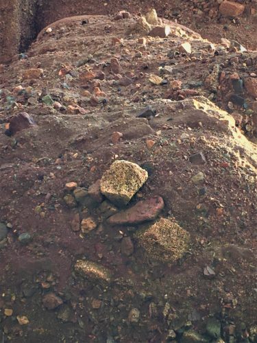
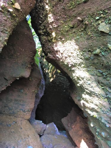
What the rocks look like close up. Just full of lots of little rocks. No wonder they erode!
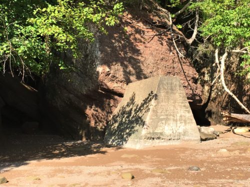
Okay, so what’s THAT doing here??
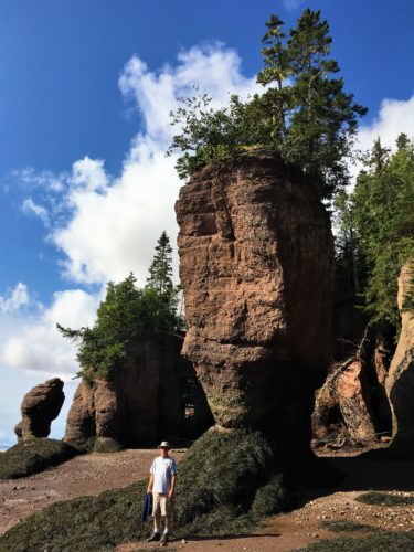
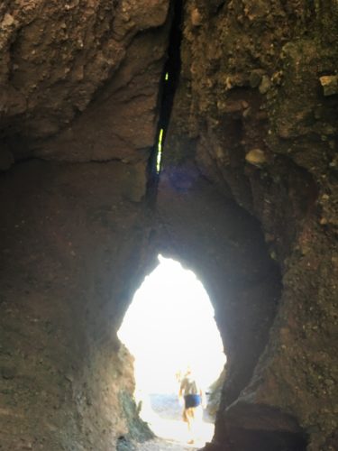
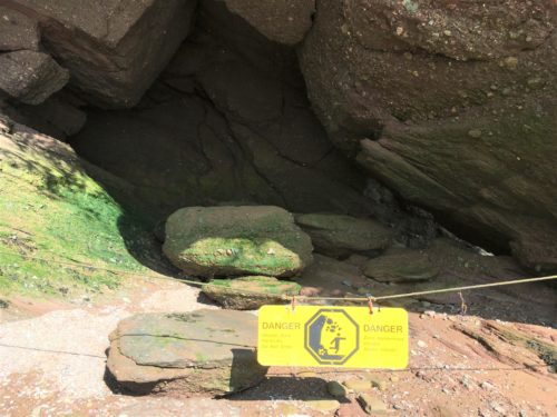
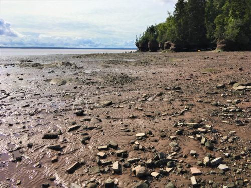
We checked out low tide around the park for about 1 ½ hours, then headed out to Fundy National Park.
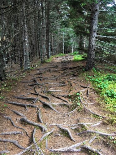
Blaine had already chosen a trail that suited us – forest, ocean views, wildlife, about 3 miles long. . . It was called Matthew’s Head. It sounded perfect. However, the views along the trail were limited and once again we had to contend with tree-rooted paths. Although I must confess, it wasn’t quite as bad as the last one! Plenty of forest though.
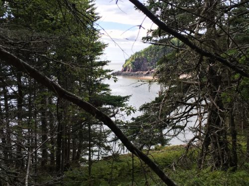
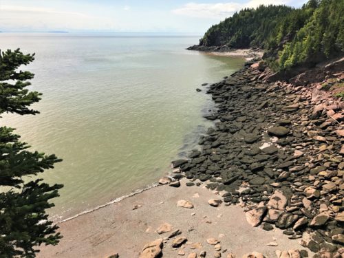
Views from Matthew’s Head:
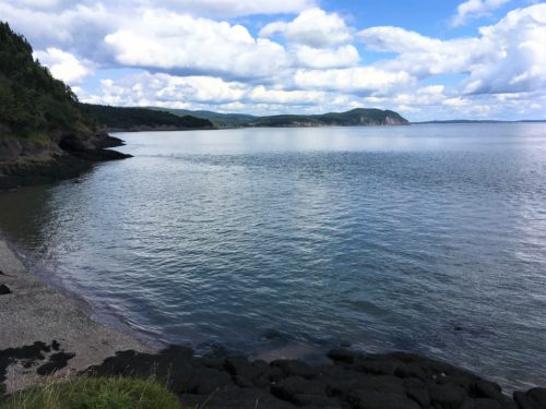
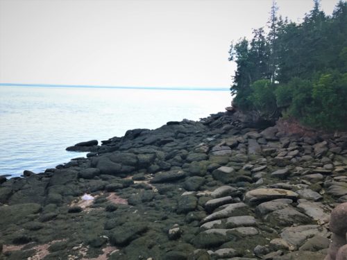
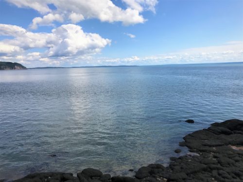
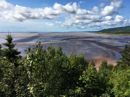
Views from the remainder of the loop trail:
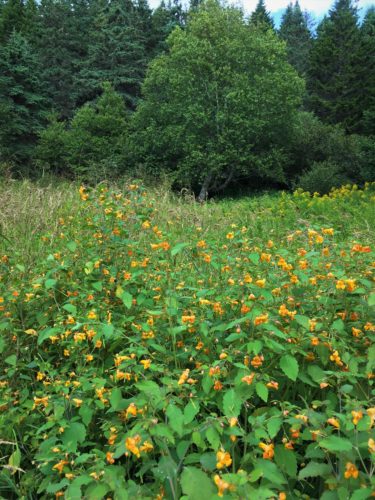
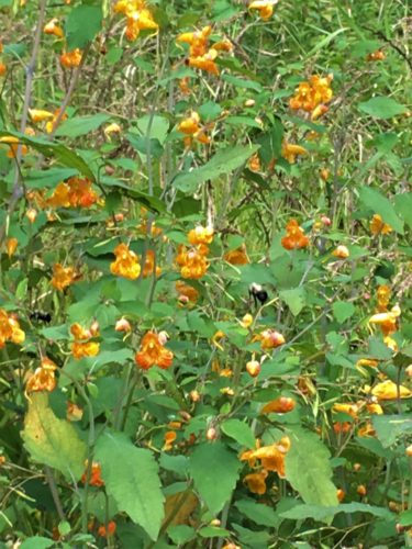
The bees would go completely inside these flowers. Fascinating!
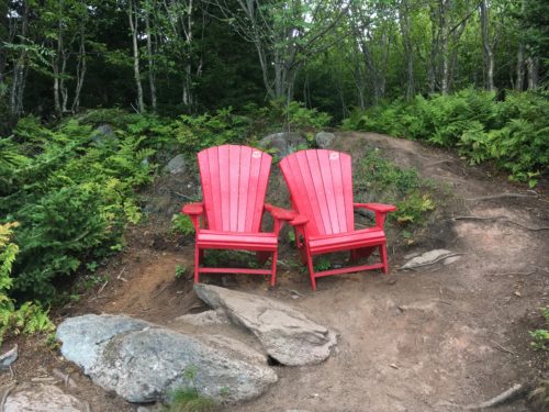
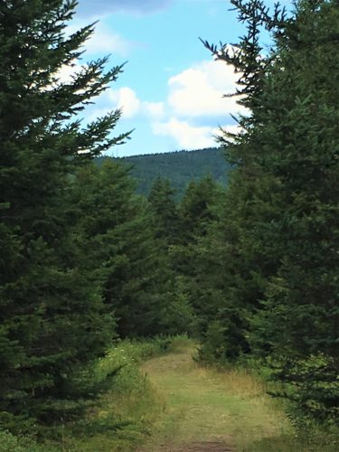
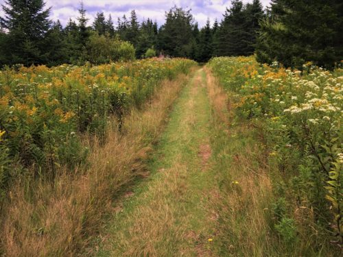
We’ve been seeing goldenrod for awhile now.
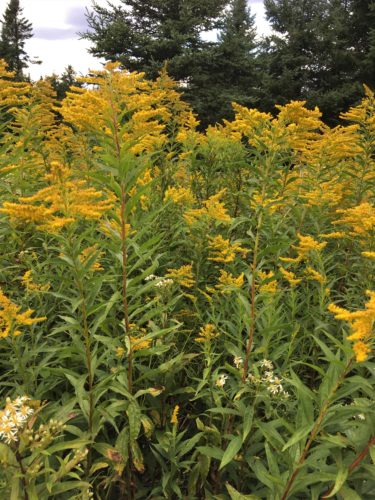
It always brings back a fond memory for me – our oldest (at age 5) wanting to take some to his Uncle (my brother) because I told him it would make him sneeze. : )
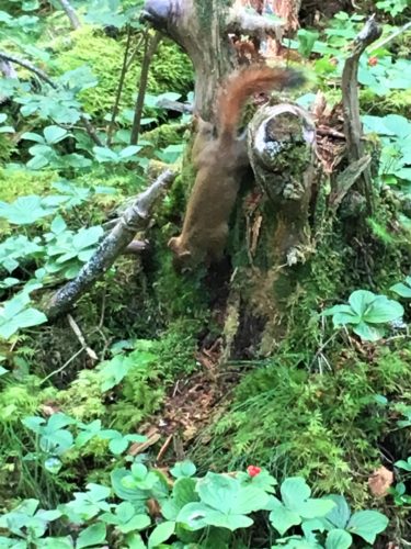
Still, as you can see, it was a pretty nice hike. A-unnnnnddd – we saw a squirrel! 😊
He was posed perfectly for a picture, but like most of the few critters we’ve run across, was apparently camera shy. As soon as I lined up the shot, he headed off and I only caught him scampering away. Bummer! They sure are tiny around here! Sort of like a cross between a gray squirrel and chipmunk.
Our next hike took us to Dickson Falls – about a 1 mile loop trail and a pretty east hike.
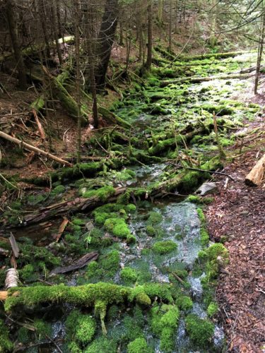
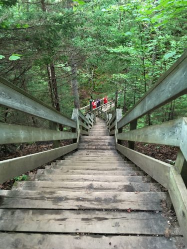
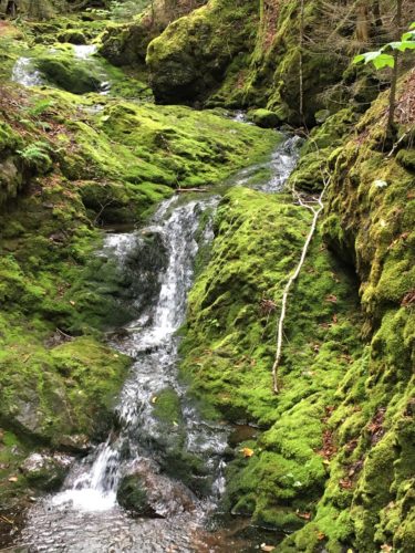
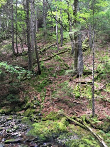
We ate lunch here in the Jeep before the hike, so no picture. 😊 I’m guessing a very popular hike as cars (including us) were parked all down the street. It was a beautiful hike through mossy, streamed woods which reminded me a bit of Victoria Park in Truro, NS.
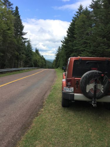
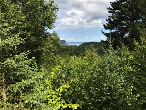
Here’s the view we had for lunch
Trail pics:
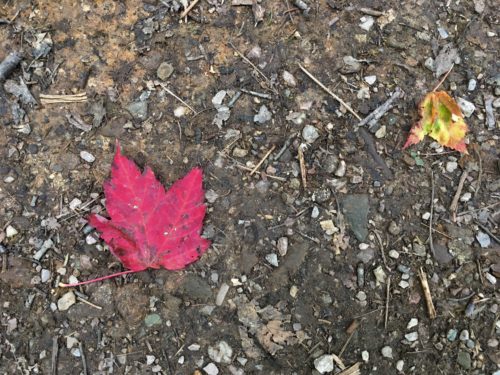
Fall leaves? In August??
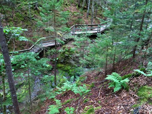
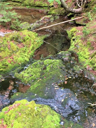
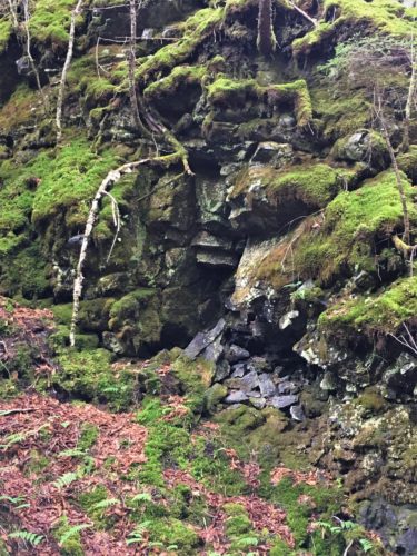
The top middle area that looks like a big hole?
It’s actually filled with water! So clear!
At one point, we could see around a corner and noticed people lined up looking at something. When we got closer, this is what we saw – –
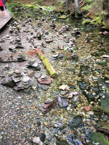
There were hundreds of them! Some were pretty creative and we would have taken individual pictures, but everyone else was doing that. Instead, we took the opportunity to pass a bunch of people so we could hike at our own pace, instead of theirs.
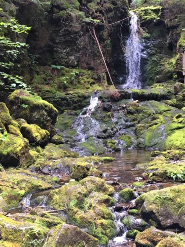
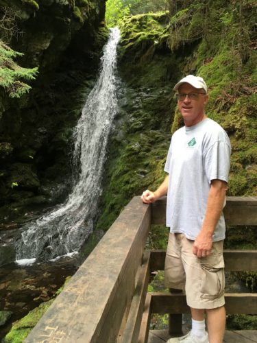
Dickson Falls
Video of the falls: IMG_2452
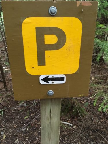
Blaine thought this was in bad taste.
But seriously. What would be your first thought if you saw this on a trail??
It’s yellow. What does it say? . . . .
See where my mind goes sometimes?
These were the only two hikes today (besides walking all over Hopewell Rocks). We stopped in a little town and tried the food at Tipsy Tails. We got the same thing – fish and chips. It was pretty good, but I don’t think they drained the fish after frying. It was pretty greasy and there was a small puddle under some of my fries. And something different – they put capers in their tartar sauce. Hmmmm . . . I’m kinda on the fence as far as whether I liked them or not.
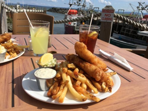
After dinner we walked around town for a few minutes.
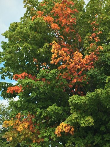
More fall color
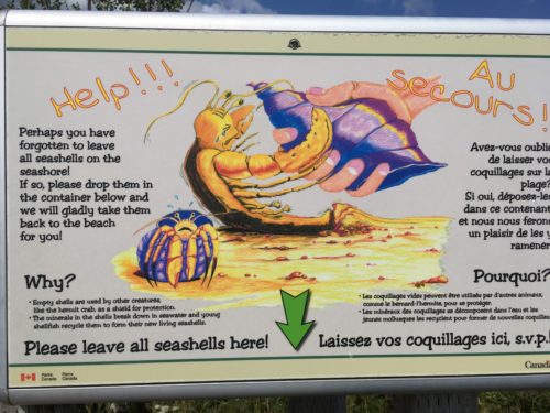
I have loved the Canadian sense of humor on their signs!
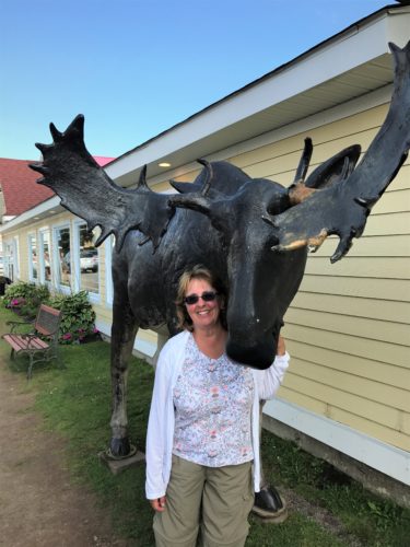
We finally saw a moose!
This one is more life-like than the stuffed one. : )
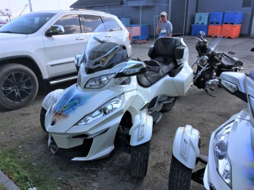
Pay no attention to the man with his fingers in his mouth . . .
Aren’t these cool bikes?
Next up, on the way home, we wanted to check out Cape Enrage. We had read about it being a great view, but we couldn’t remember anything else about it. The signs took us on the scenic route. . .
Here’s a few views from the road . . .
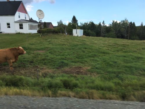
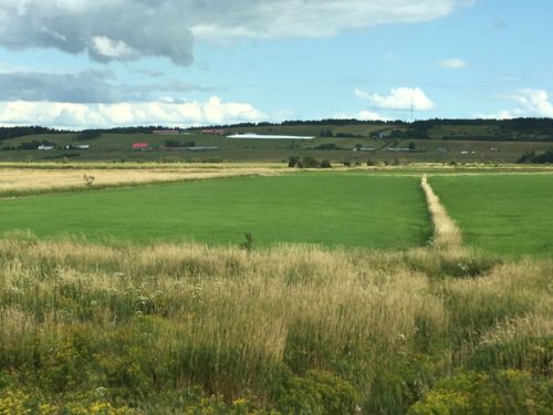
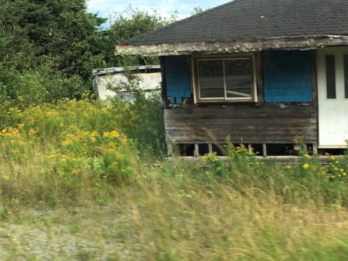
I wasn’t able to catch the entire thing (not that there was much more to it), but this house was actually being lived in! We’ve seen quite a few like this.
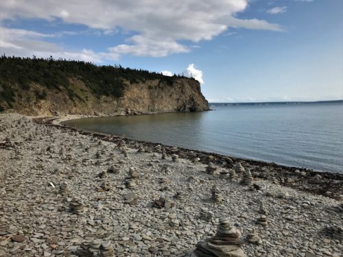
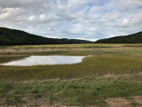
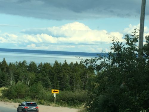
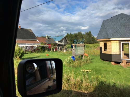
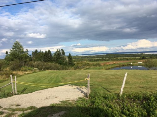
It was only about 2 miles from where we had eaten, but there was no sign so we didn’t know. Instead we drove about 20 miles on a narrow, very winding, up-hill and down-vale road. Being near the end of a long day, Blaine wasn’t a particularly happy camper.
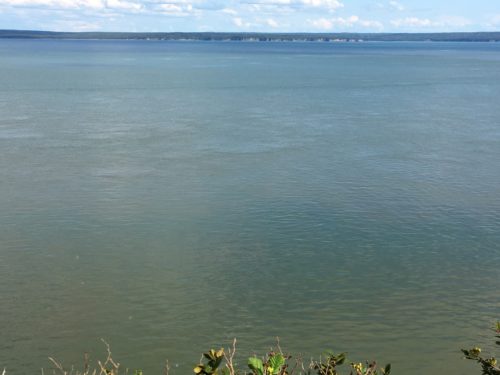
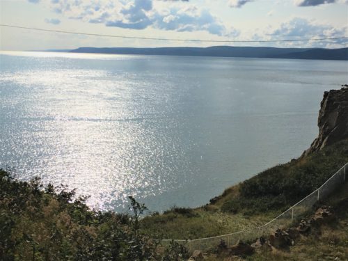
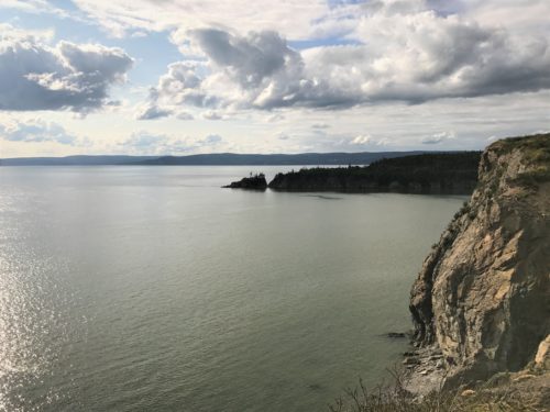
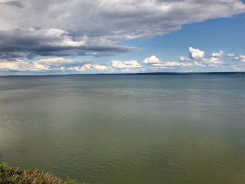
We arrived about an hour before closing and they still charged us full price to get in – $5/person. We only spent about 30 minutes here. (I think we’re getting jaded by all the beautiful views we’ve seen.) Whadaya think? Was it worth it?
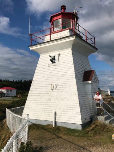
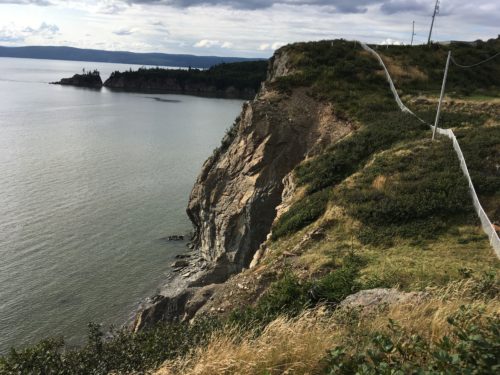
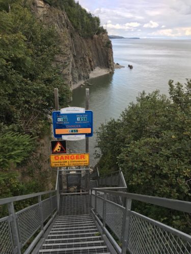
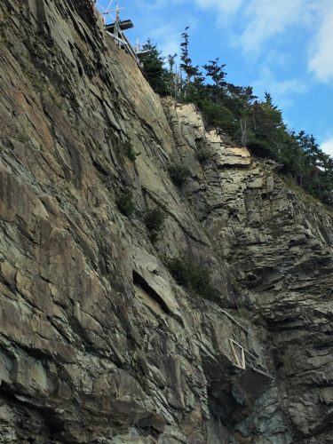
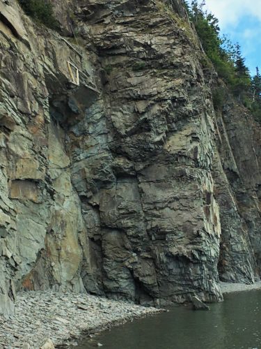
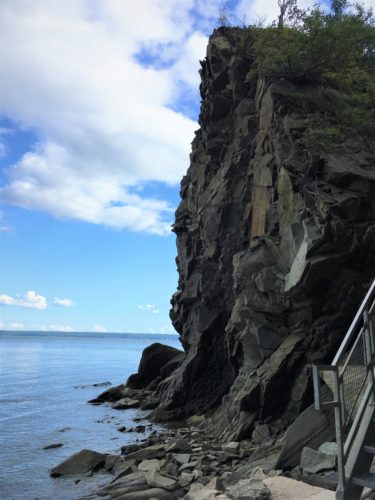
They rock climb here!
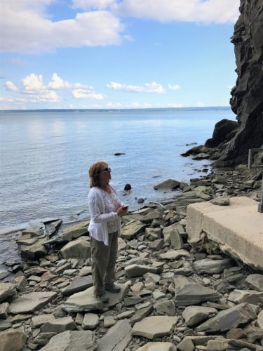
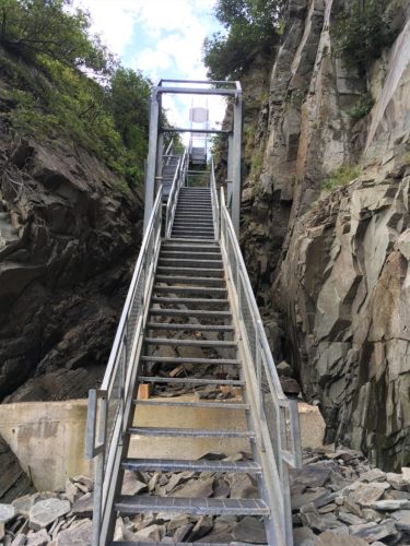
I think I was trying to decide if I wanted to tackle the wobbly stairs again . . .
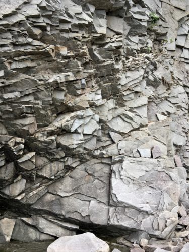
Just look how fragile the rock is! I can’t believe they climb and repel here!
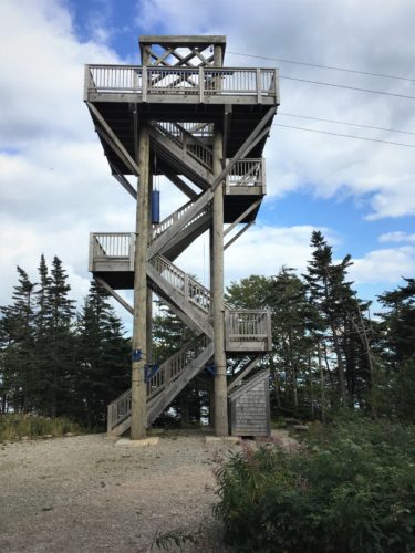
One of the zip-line towers
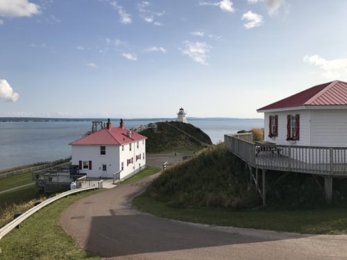
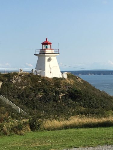
Thus ended our long, but quite nice, day . . .
We pray for those in Texas dealing with Hurricane Harvey which made landfall yesterday and is expected to hang around and drop copious amounts of rain.
