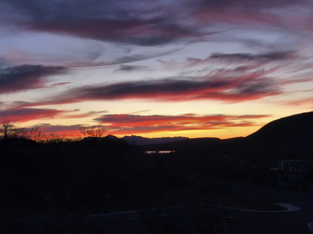
Patagonia Lake State Park, Patagonia, Arizona
Haughty eyes and a proud heart, the lamp of the wicked, are sin! ~ Proverbs 21:4
It was a very interesting day today for several reasons, as we saw and experienced things we’ve never seen or experienced before. We still find that exciting – – being able to say that, after all we’ve seen and done, we are still discovering new ones!

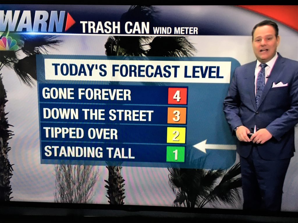
Up first ~ The Trash Can Wind Meter. We laughed out loud when we saw and heard this one!
Next, we made the ten mile drive to Nogales, Arizona, USA/Sonora, Mexico.
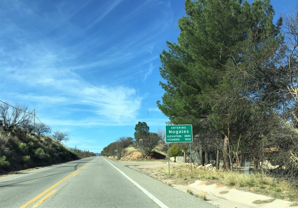
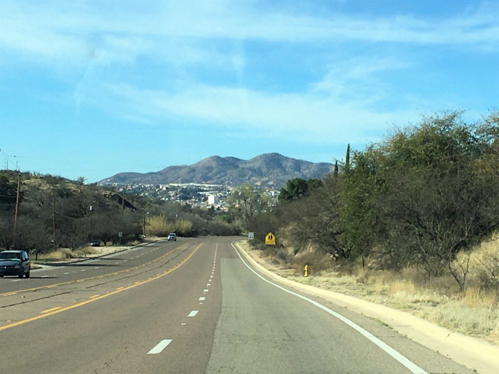
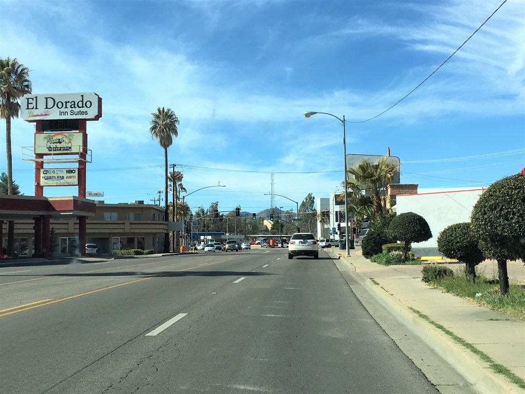
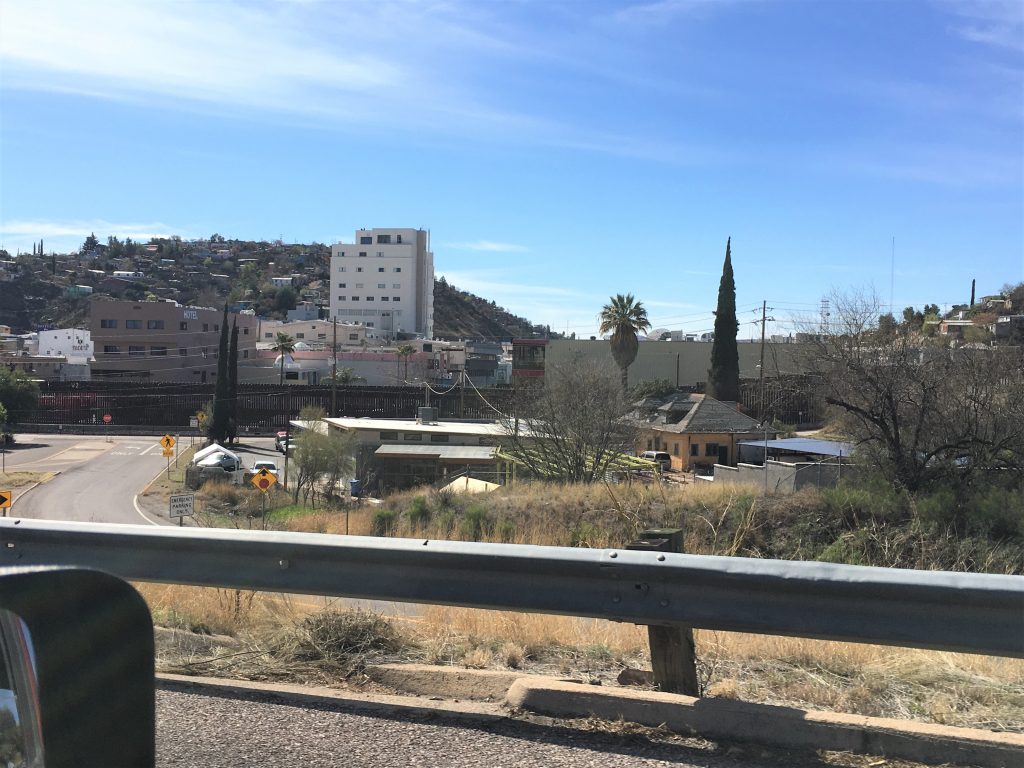
Nogales is in a very unique position. It’s a town that’s half in the United States, and half in Mexico. (That’s what Sonora is. It must be like our states.) Here’s some paraphrased information I located on-line about Nogales, along with an interesting article I discovered during my research:
Nogales used to be just one big happy family, with people and parades and trade coming and going without any hindrances and few acknowledgements of boundaries. And everyone was happy. And at the end of every day, everyone went back home to their own country.
And then the illegals began infiltrating the United States, and in 1990, President George H.W. Bush approved a 14-mile wall to be built along the San Diego-Tijuana border. But according to smithsonianmag.com, by Rachel St. John:
The Raging Controversy at the Border Began With This Incident 100 Years Ago
In Nogales, Arizona, the United States and Mexico agreed to build walls separating their countries
/https://public-media.si-cdn.com/filer/d0/78/d078b1be-6fdf-4138-89de-70e840a60e2f/julaug2018_a09_prologue.jpg)
American (left) and Mexican (right) sentries patrolled the line. (Wiki Commons)
In early August 1918, Felix B. Peñaloza, the presidente municipal, or mayor, of Nogales, Mexico, ordered construction of a fence running along the boundary line between his city and Nogales, Arizona. The fence would consist of six wires strung to a height of six feet. His intent was to direct the flow of people crossing the border through two gateways, to make it easier for a growing number of soldiers, customs agents and other officials to oversee transborder movement. Peñaloza also met with U.S. representatives to discuss a second, parallel fence, to be built by the Americans. Mexican officials said they “would welcome the building of such a fence by the United States Government, as it would aid officials on both sides of the line in enforcing their regulations,” and they insisted that “such action would not be irritating or offensive to Mexican sentiment.”
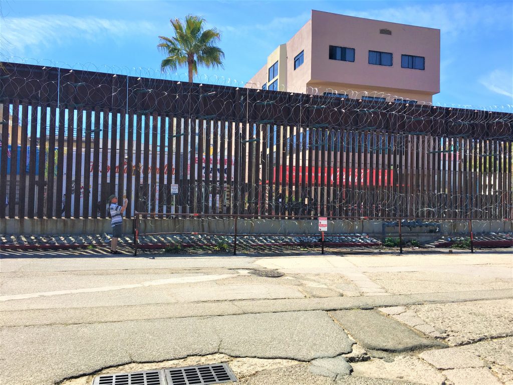
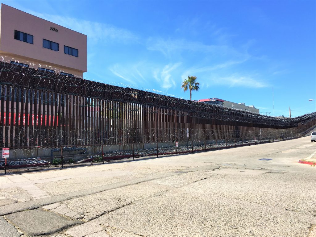
Today a ten-mile-long rusted steel border wall is a defining feature of the cities. Its origin story begins with these two fences. When they were first erected in Nogales a century ago, they were neither a brazen political statement nor a barrier to immigrants, but a cooperative measure, embraced by both the United States and Mexico in the spirit of “good fences make good neighbors.” But the proposed American fence became what was most likely the first permanent barrier to control the movement of people across the U.S.-Mexico border.
Peñaloza’s fence cut through the heart of the twin cities of Nogales—known as Ambos Nogales, “Both Nogales.” Founded in 1882, Ambos Nogales became a bustling community centered on the boundary line, which ran along International Street. For years Mexicans and Americans crossed the border regularly to do business, shop, socialize and celebrate the holidays of both nations. Years later, former residents recalled how they had even played on the line as children.
Tensions along the border started to rise with the Mexican Revolution, which began in 1910, and were heightened by the First World War. A violent battle between opposing Mexican forces took place in Nogales, Mexico, in 1913. A second battle in the town two years later saw U.S. cavalrymen cross into Mexican territory to engage Pancho Villa’s troops, who had fired across the line. The wars also fueled worries about smugglers running guns into Mexico, refugees fleeing to the United States and international espionage in the borderlands.
The U.S. government had built its first border fence between 1909 and 1911—a barbed wire divide along the California border—to prevent cattle from wandering between the countries. Now, as both nations adopted new measures to monitor the border, more fences began to appear. Photographs seem to show one beside the customhouse near Tijuana and another along the border between Douglas, Arizona, and Agua Prieta, Mexico. These were likely temporary wartime measures, and as in Nogales, they were intended to prevent cross-border clashes.

(W.I. Newumann, from the National Archives and Records Administration)
But on August 27, 1918, soon after Mexican workers had erected the fence in Nogales, conflict broke out when an unidentified man attempted to cross into Mexico. A U.S. customs inspector ordered him to halt, but he did not stop. Officers on both sides of the border raised their guns, and a firefight broke out. About two hours later, at least 12 Mexicans and Americans had been killed, including Peñaloza, who had built the fence precisely to minimize the risk of conflict between the nations.
Ironically, despite his failure, U.S. officials in Nogales, Arizona, soon went ahead with plans for their own fence—which quickly became a model for controlling the movement of people across the U.S.-Mexico border. Following Nogales’ lead, officials in Calexico, California, erected a fence that ran two miles along the boundary line there. By the 1920s, fences were a fixture in most border towns.

Over time, the fences were put to a new use. In the 1940s, the U.S. Immigration and Naturalization Service coordinated with the International Boundary and Water Commission to erect chain-link barriers on the border.

More fences, a border patrolman later acknowledged, forced unauthorized migrants through dangerous mountains, deserts and rivers “around the ends of the fence.” The U.S. expansion of the fencing in the 1990s doubled-down on this strategy, leading to a dramatic increase in the number of migrants who died attempting the treacherous crossing. Thus the fences and other barriers that stand along much of the U.S.-Mexico border now mark not only an international boundary but also a humanitarian crisis.
We’re all for aiding in a humanitarian crisis, however, what many people seem to forget is that these people are attempting to cross our border illegally – for all manner of reasons. All they have to do, is enter the country legally, through legal channels and they wouldn’t have to attempt a “treacherous crossing”. If they’re attempting a treacherous crossing, they mostly likely are aware that they wouldn’t be accepted by legal means. We believe in legal immigration – just as our ancestors entered this country.
And some other interesting information I read in a Washington Post article, was that back in 2006, when George W. Bush signed the Secure Fences Act into law that authorized the construction of 700 miles of new border fencing, 80 senators supported it, including Hillary Clinton, Barack Obama and Charles E. Schumer. Hmm . . . . . isn’t that interesting . . . .
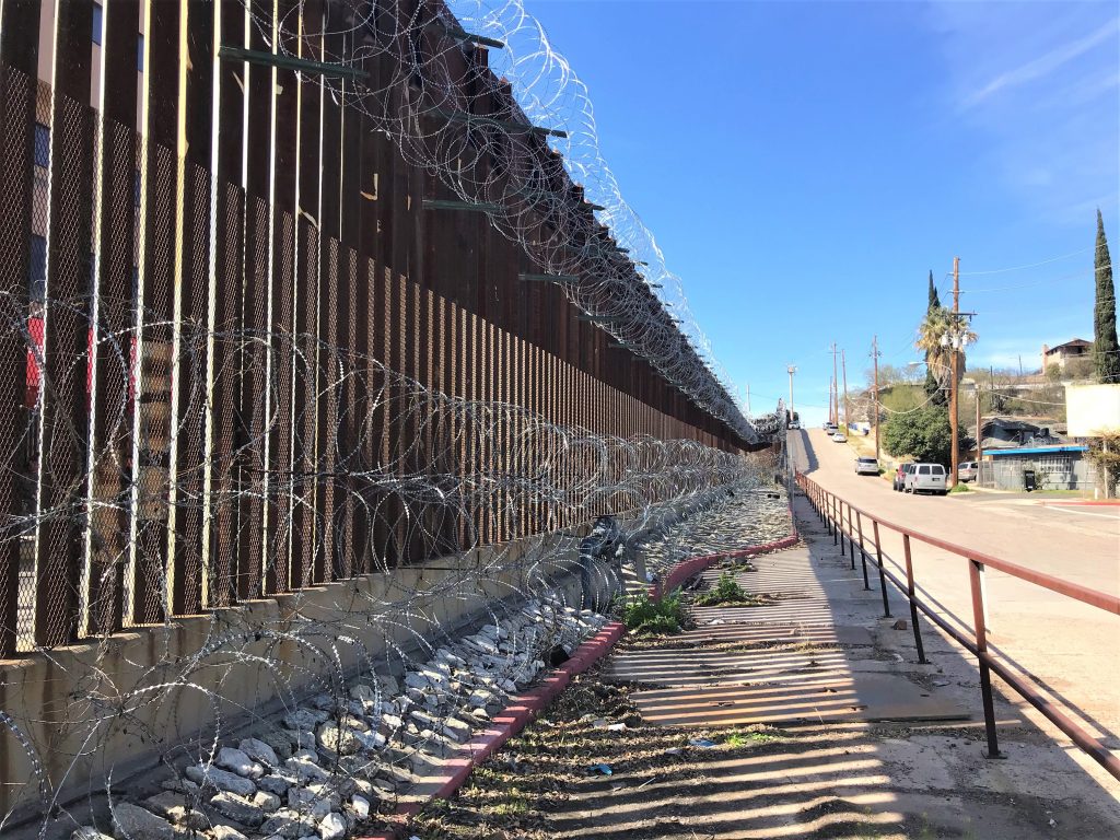
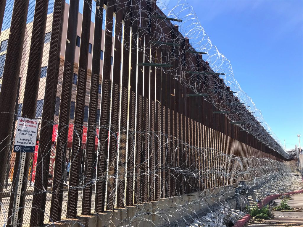
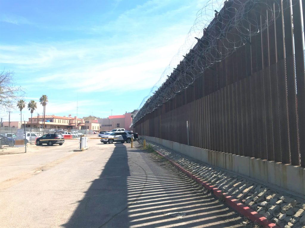
And one more thing before I move on from here. The American side has recently (not sure how recent) has added razor wire on our side and people are upset about it. I didn’t really understand why, until I read that the problem is that if people on the Mexican side manage to climb the wall on their side and come over, they get caught in the razor wire and sustain severe injuries. In addition, the town of Nogales doesn’t have the equipment or resources to free them properly. The town itself has accepted the various border walls as being necessary, but they’re upset about the recent addition of razor wire.


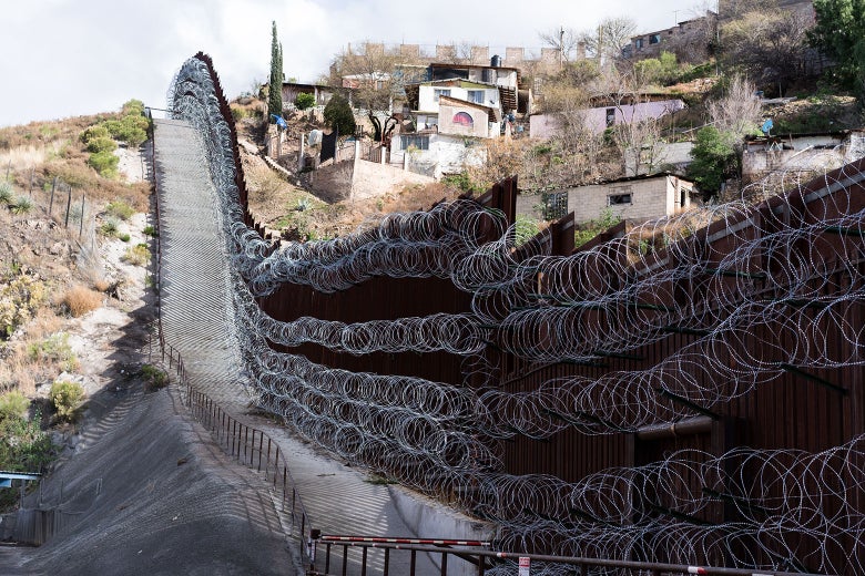
and despite the fact that you can see through the wall because it has slats in it.
It’s not the people who live in the area who are the problem.
It’s people (usually) from Central American countries or southern Mexico who are trying to enter illegally,
who are getting (or have the potential to get) caught in the razor wire.
Now, back to our day. . . .
We’d heard that the border wall went right through the middle of town and there was a lot of crossing back and forth here because of commerce and trade, but we didn’t really know what to expect.
Our first hurdle was to find a place to park for free that would allow us to walk around town a bit. Blaine found a spot in a small shopping mall across from the train tracks and the courthouse. I wasn’t so sure because there were signs everywhere telling you that only customers were permitted to park here, but he parked at the very back of the lot and assured me we’d be just fine. Turned out, he was right again. 😊
One of the must surprising things we noted was that many of the shop’s signage and ads were in Spanish – sometimes with English added, but more often without. And the “sidewalk” sales had the appearance of being in a foreign Hispanic country (we’ve visited both Ecuador and Guatemala). I didn’t take many pictures because there were so many people milling about, and others walking really fast which made us feel we needed to get out of their way.
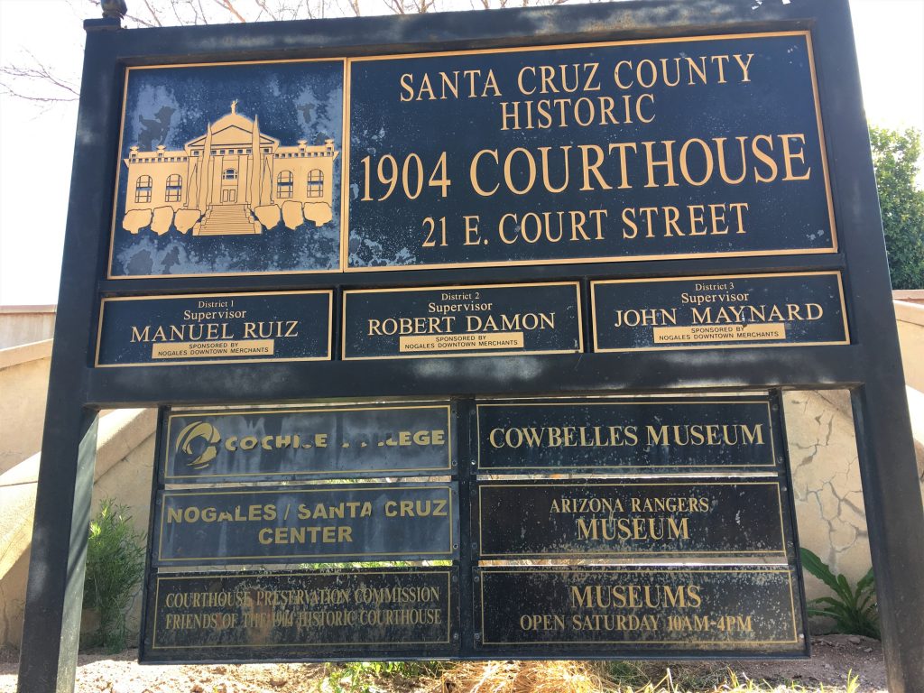
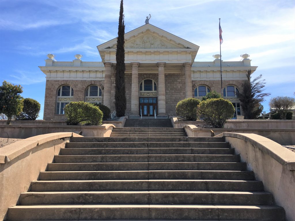
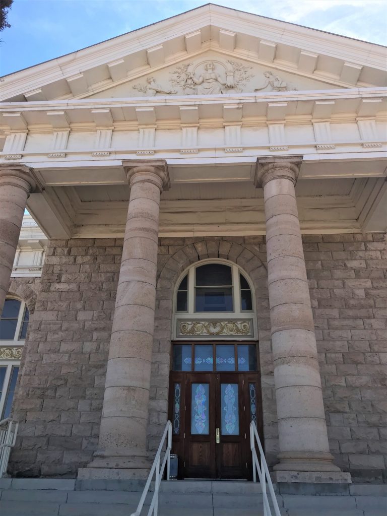
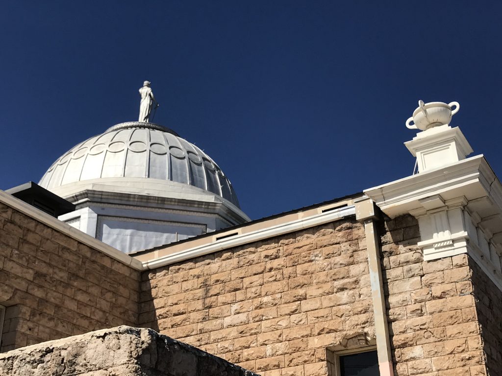
making us wonder if it’s still a working courthouse.
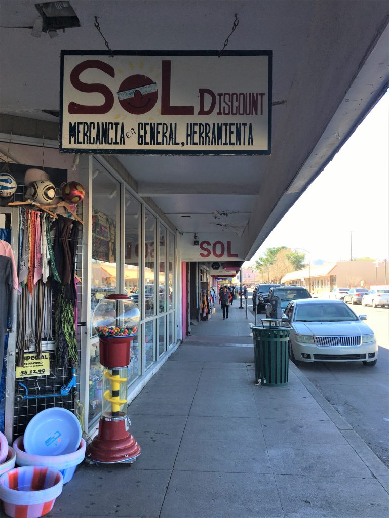
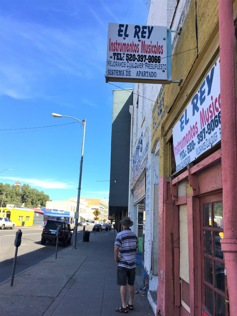
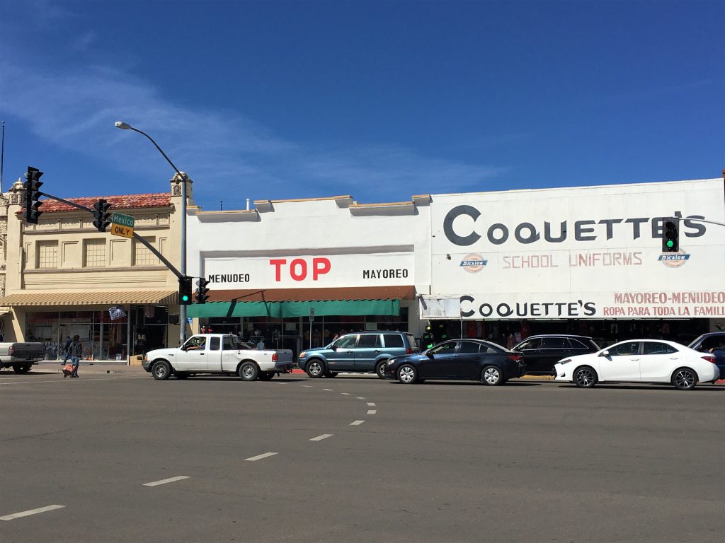
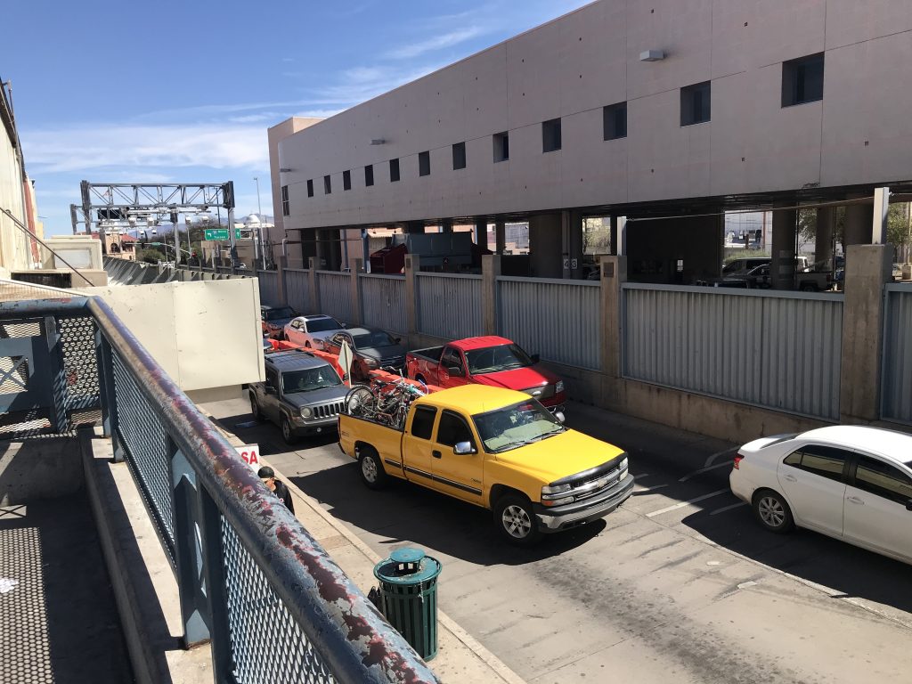
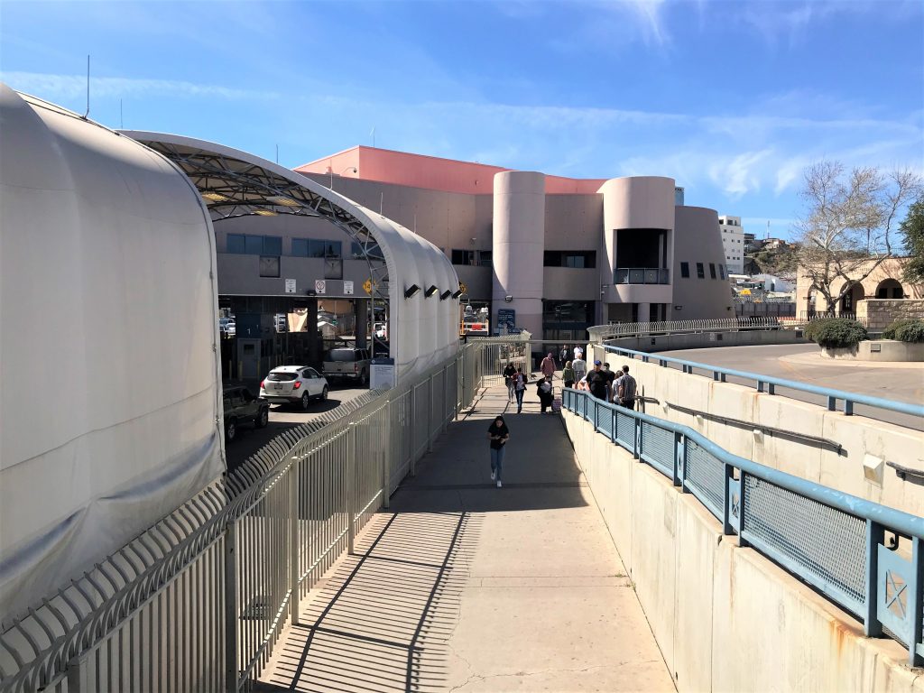
Our passports were safely tucked away in the Jeep. Just in case we decided we wanted them.
But we didn’t.
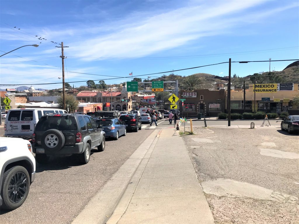
We didn’t see a line coming out of Mexico, but that may be in a different spot.
See the sign for Mexico Insurance? That’s special car insurance they suggest you buy before you go into Mexico. Apparently, anything you carry in the States doesn’t cover you in Mexico. (??)
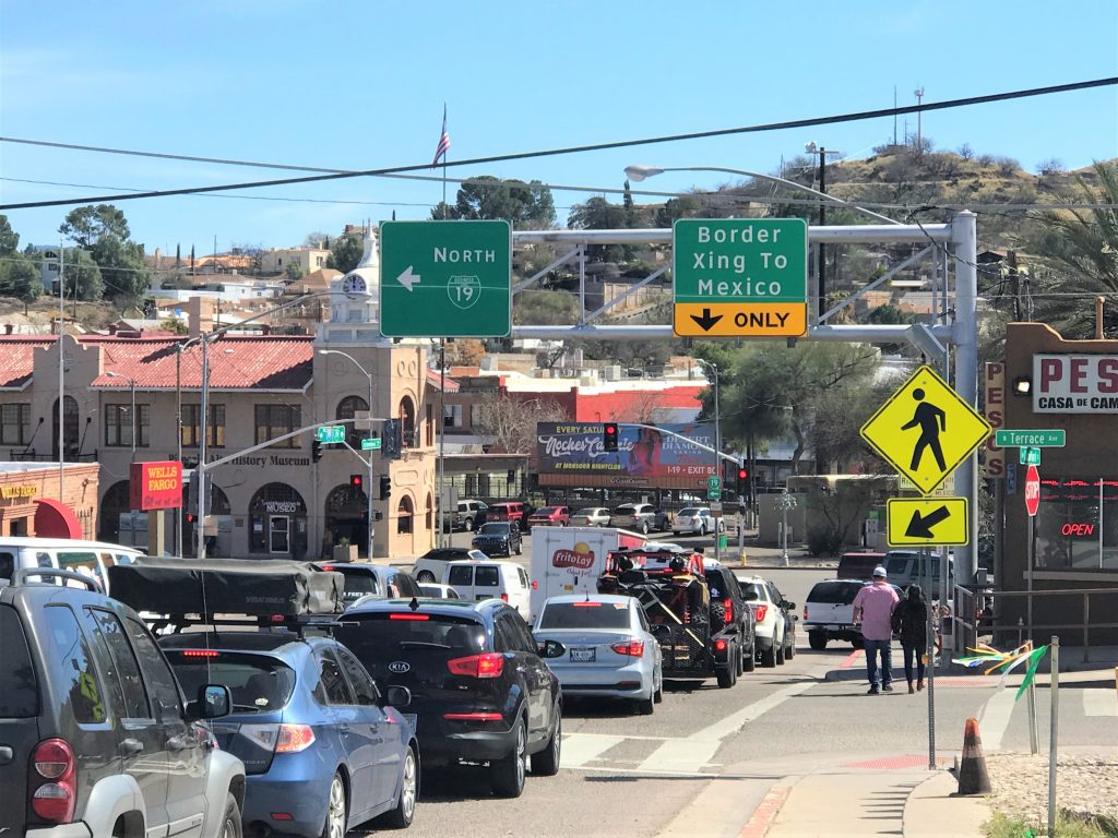
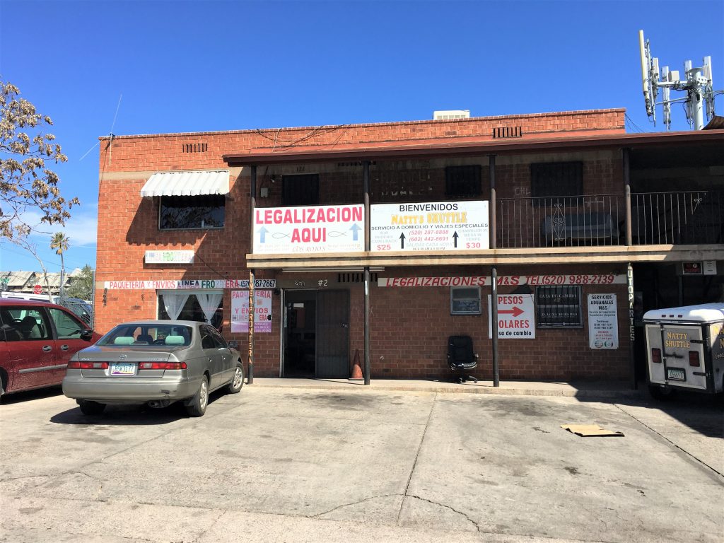
There were tons of these places, but all but this one were set up in parking lots with HIspanic looking men hanging around, so we didn’t feel comfortable taking pictures. We’re assuming that people come over from Mexico and want taken to various places, because there were signs for fares to places like Phoenix ($30). $30 for a 175-mile drive seems awfully inexpensive to us! Much less than hiring an Uber or taxi!
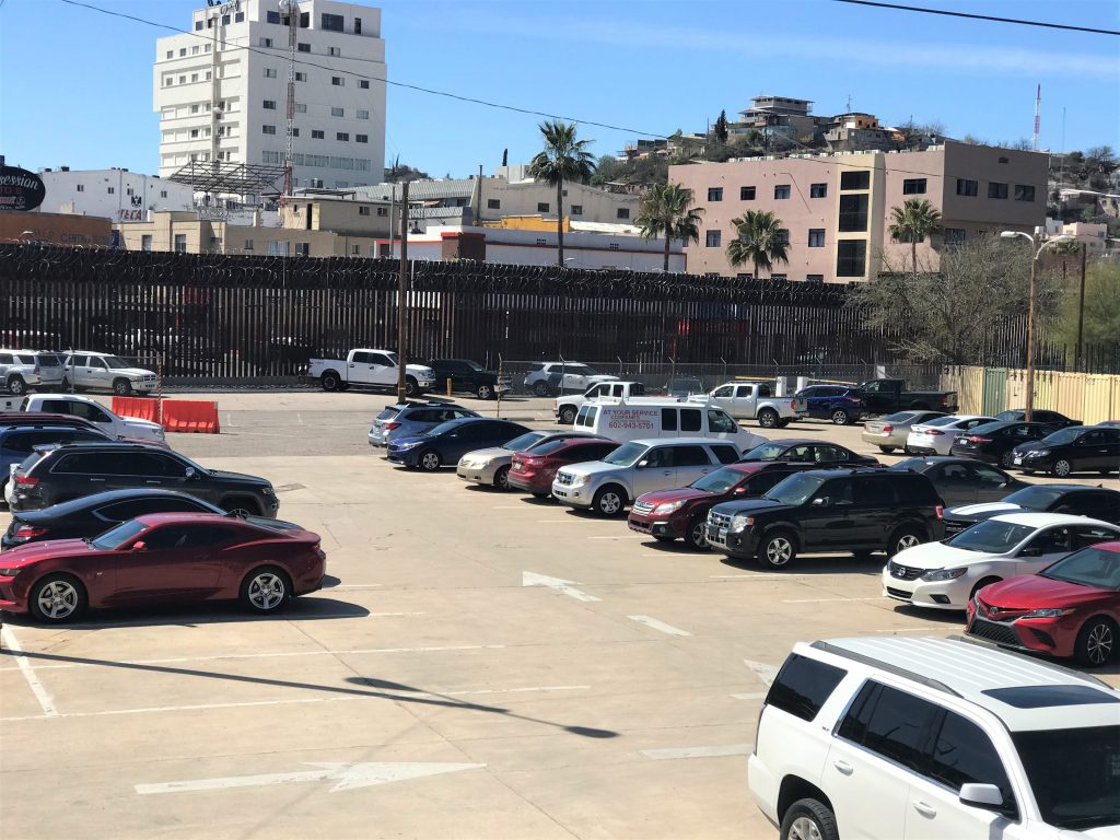
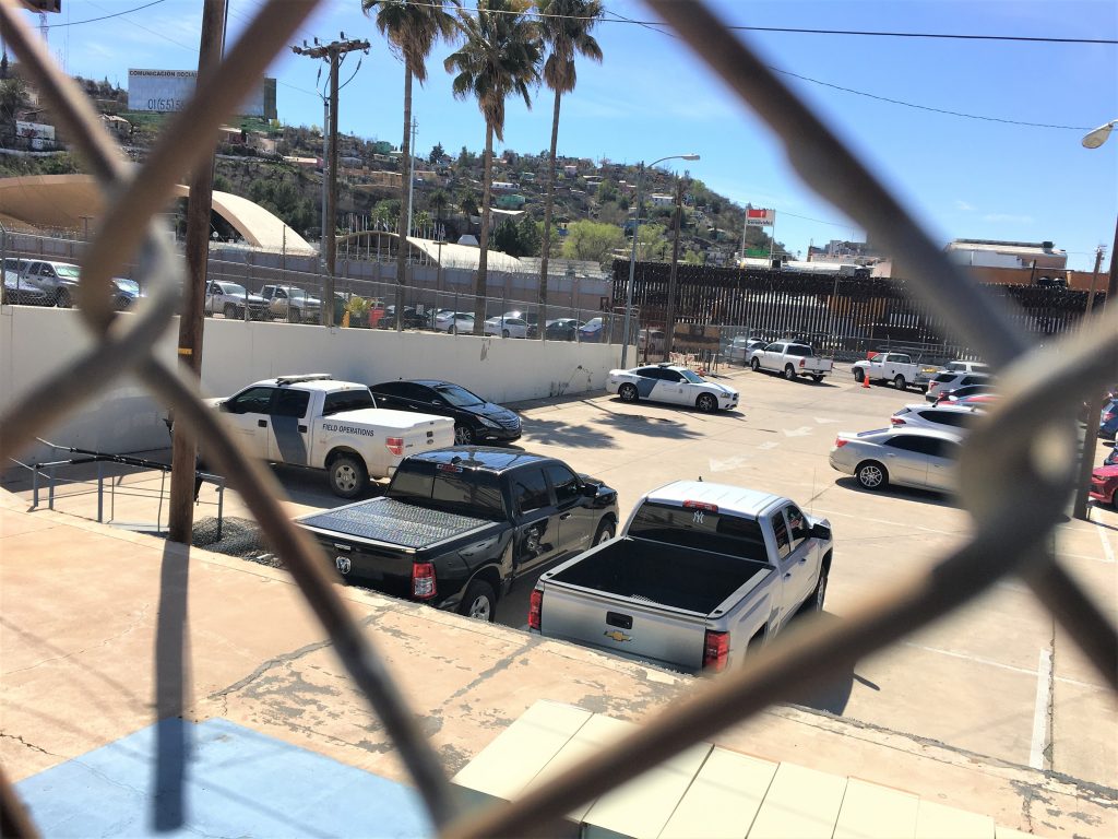
After we’d walked around town, we went in search of a good place to take a picture of the infamous (now) border wall. We thought we’d found just the place, but were quickly run out by a government agent wearing a gun on her hip. “What do you want? This is government property.” She told us very sternly! “We just wanted to take a picture of the wall.” We were a little nervous, because nothing had told us we couldn’t be in this parking lot space! We even checked again as we left. There were barricades for cars, but nothing that said “Do not enter” Anyway, she told us to walk on down the street. So we did. Yikes!
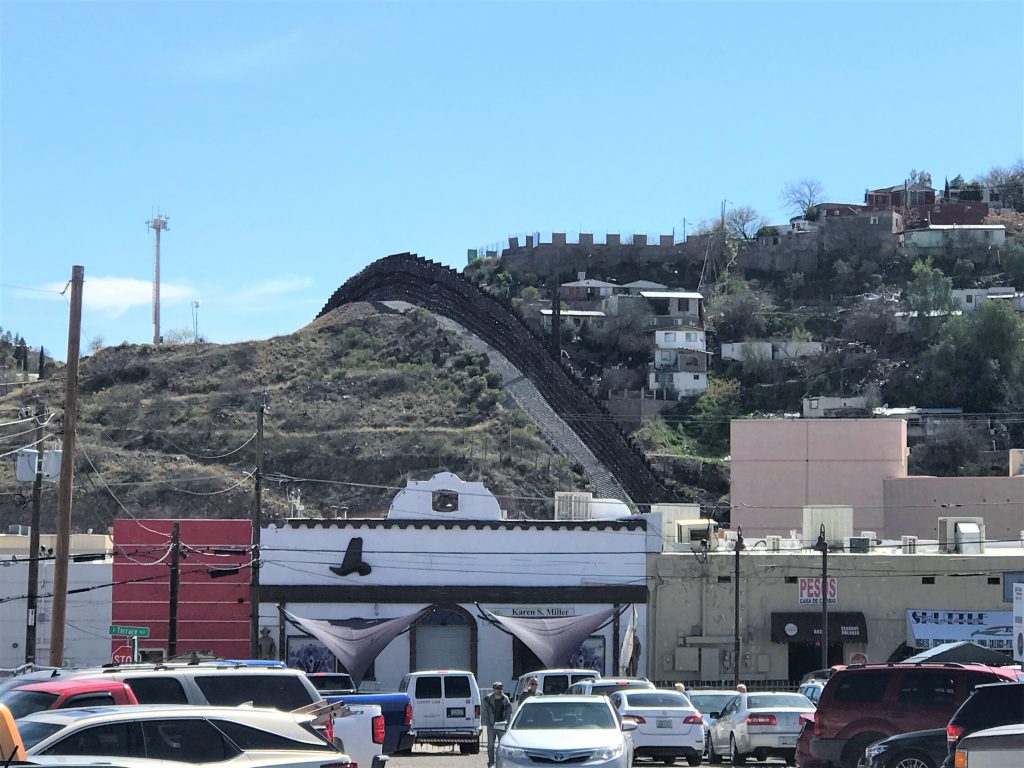
By now, it was time for lunch. Blaine had searched Tripadvisor for the best place and read the reviews, so we went in search of this wonderful Mexican restaurant. We’d planned on this being our big meal of the day.
Well, first of all, we had a difficult time finding the place, just as someone on Tripadvisor had warned everyone.
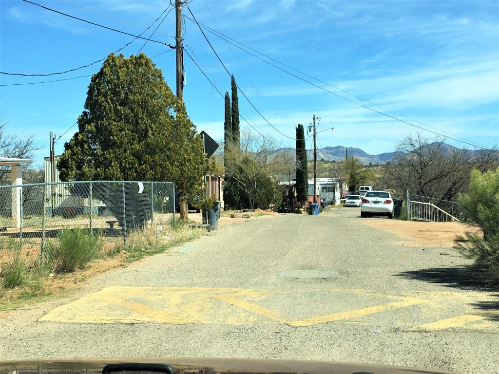
It turned out we were in the right spot, just several streets too high. : )
But then we found it and Border Patrol was eating there, so we figured it must be good, right? But it’s a cafeteria-style restaurant, and we didn’t know what some of the offerings were. Someone leaving told us to order the fried shrimp tacos. 😊 It was an exceedingly busy place, so once we were inside the door where we could see the menu board, I told Blaine to order me one shrimp and one fish taco, and a Coke, and then I went to a small table in the corner.
He brought one Styrofoam plate with two small hard tacos for him, and my two open faced corn tortilla tacos and two bottles of Coke imported from Mexico. It wasn’t much! After Blaine was completely finished with his, and I was almost done with mine, a guy from the restaurant stopped by our table and said, “Did you know about our condiment bar?” “No.” “Oh! I’m sooo sorry! That’s the fun part!” I wondered why most of the people seemed to have more food on their plates, but just assumed they knew better what to order! Oh well. Live and learn, I guess.
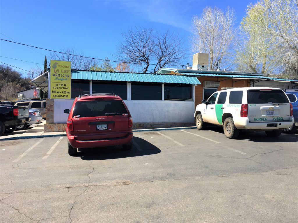
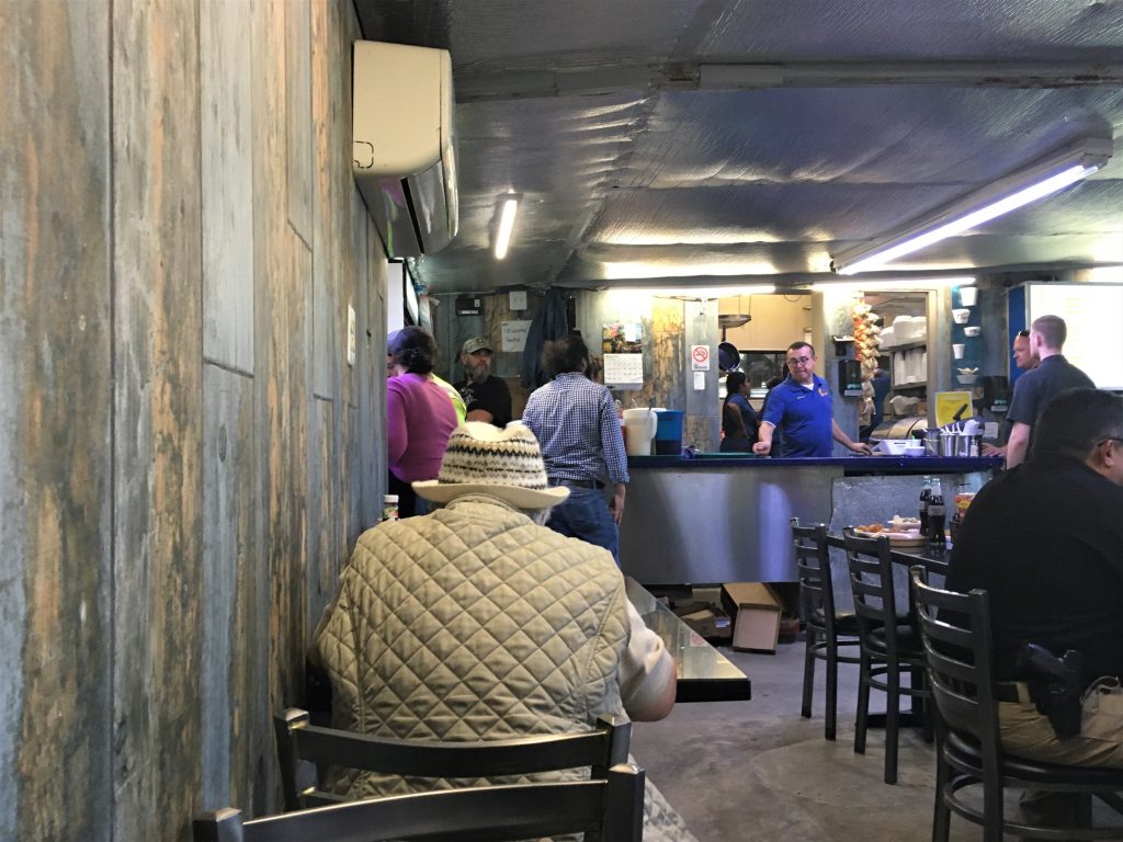
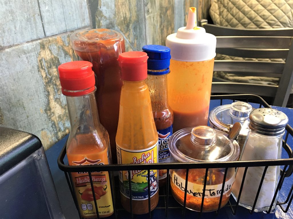
but since several said ‘habanera’ we avoided all of them. : )
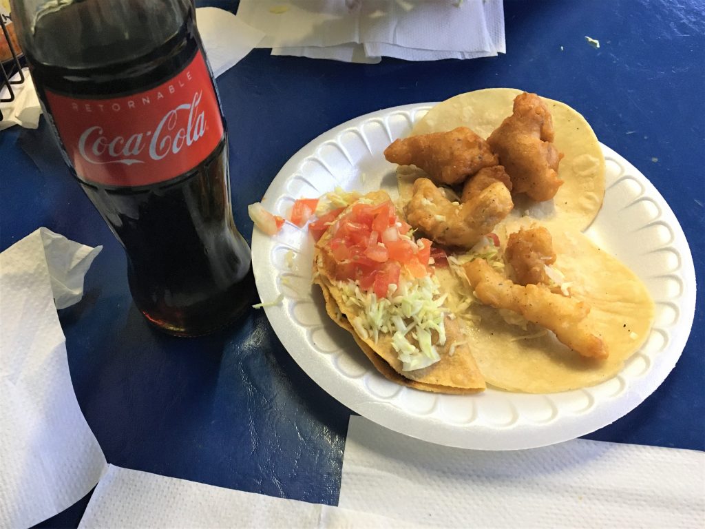
Good, but pretty simple. : )
We needed a WalMart stop for lots of different things, but nothing cold because we still had a scenic drive home.

I checked with Google – it’s an inventory calculating robot!
It’s also programmed to go around people, carts and displays. Pretty incredible!
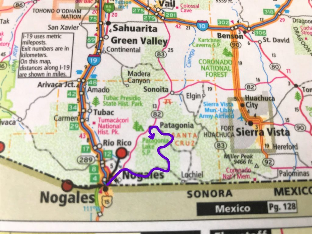
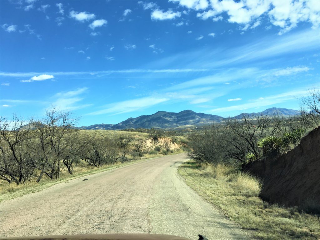
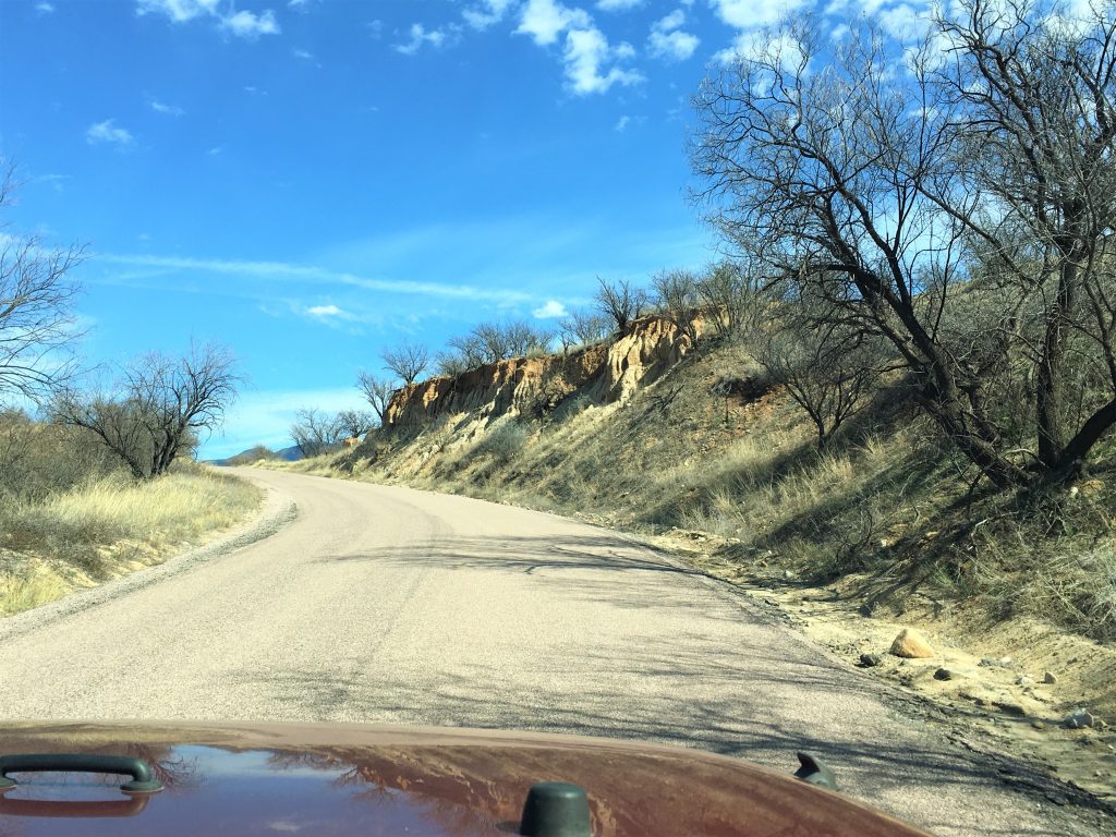
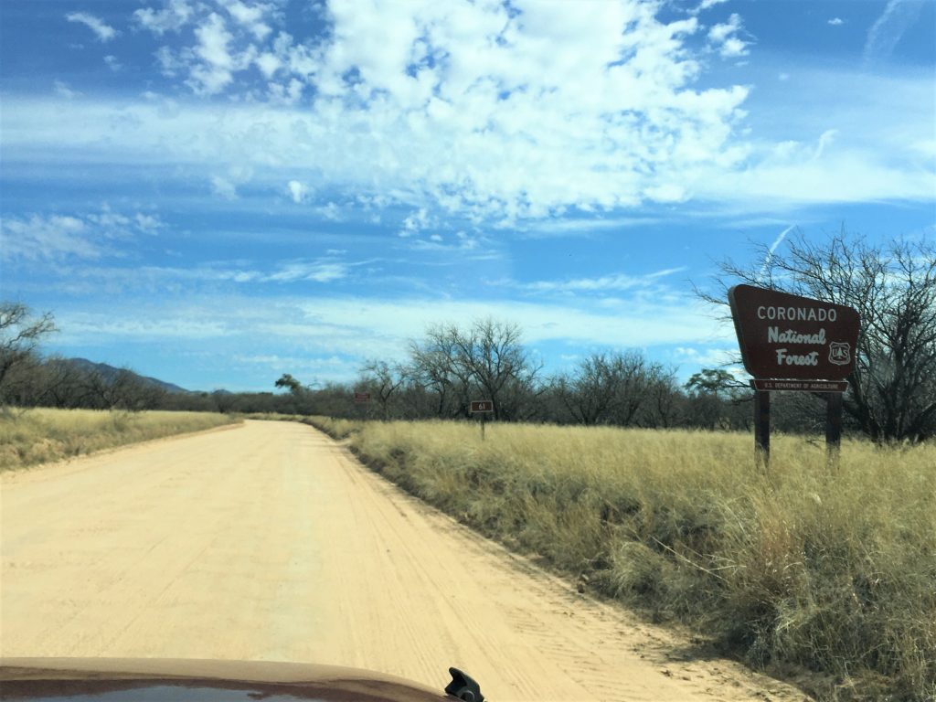
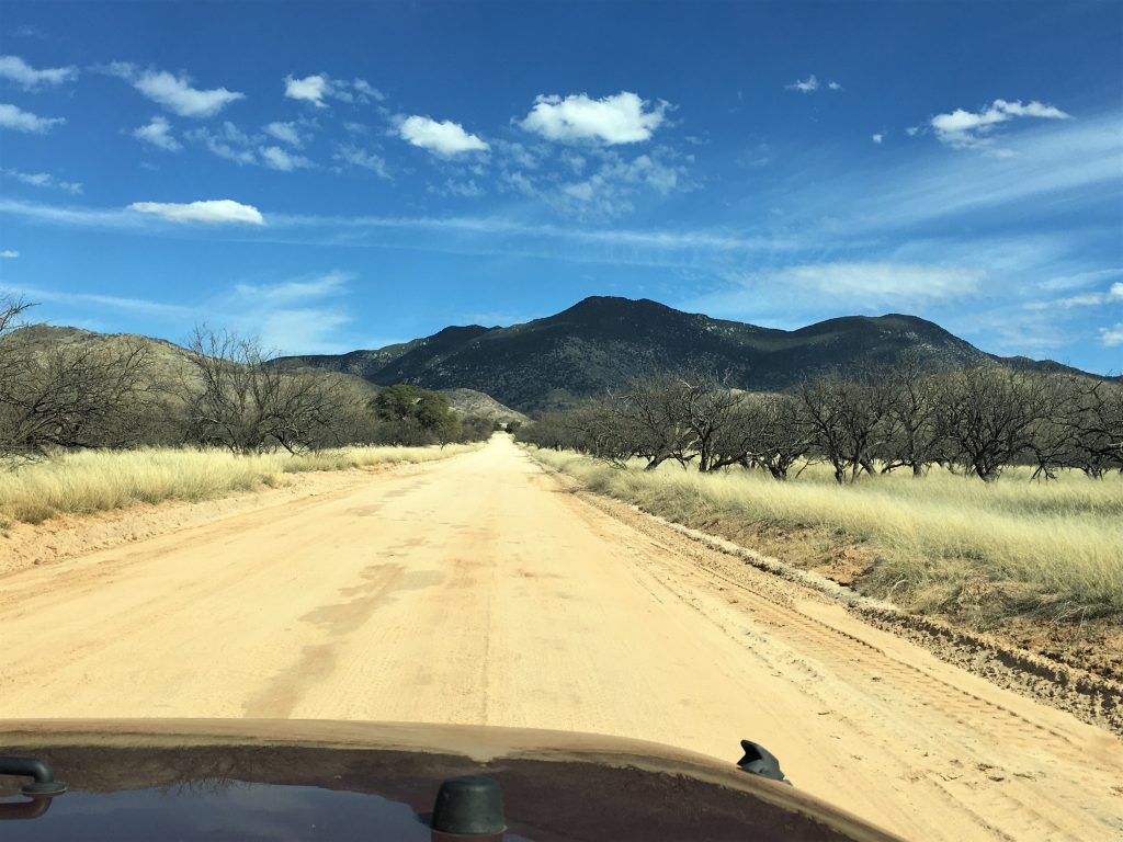
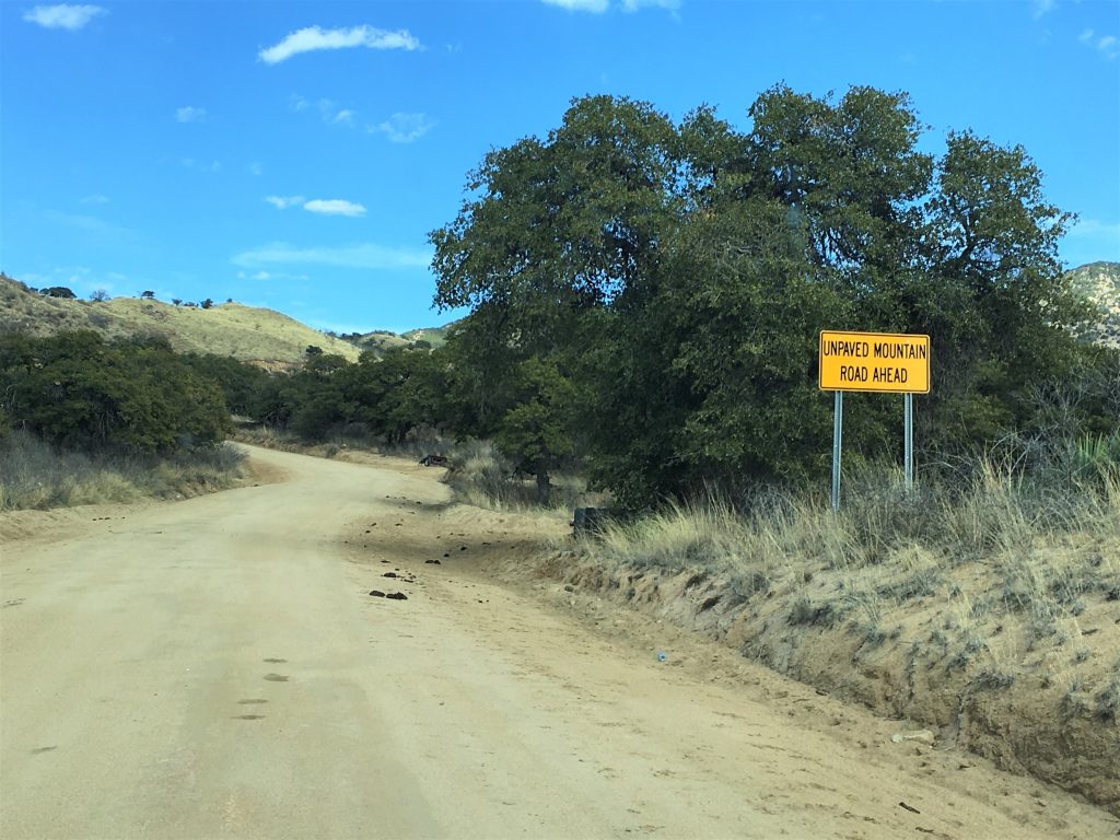
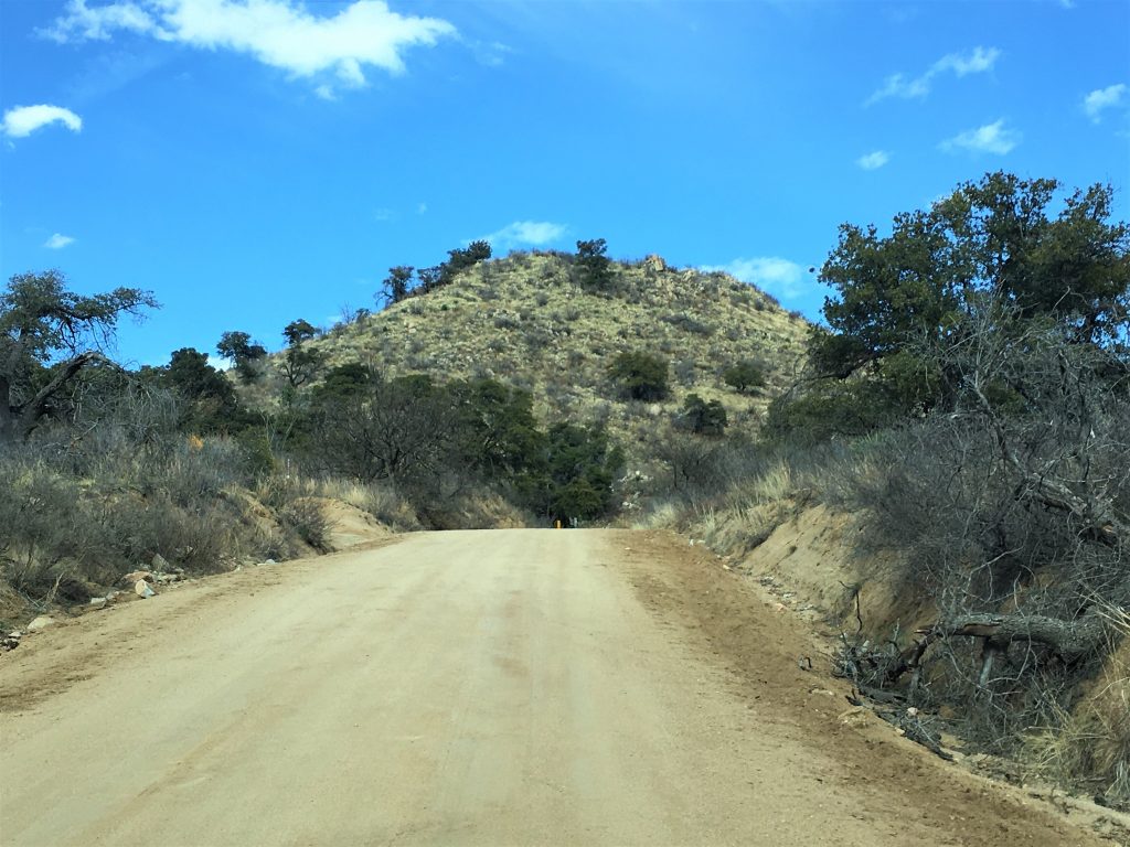
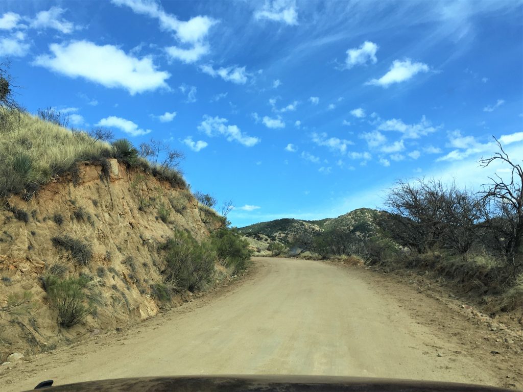
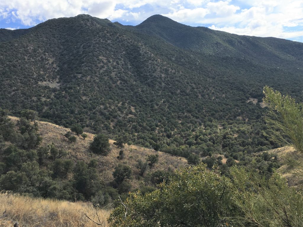
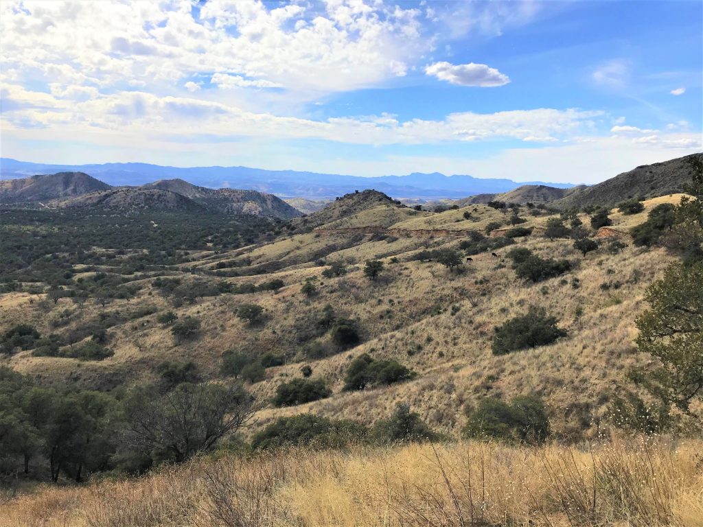
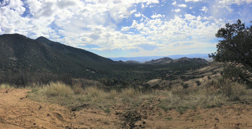
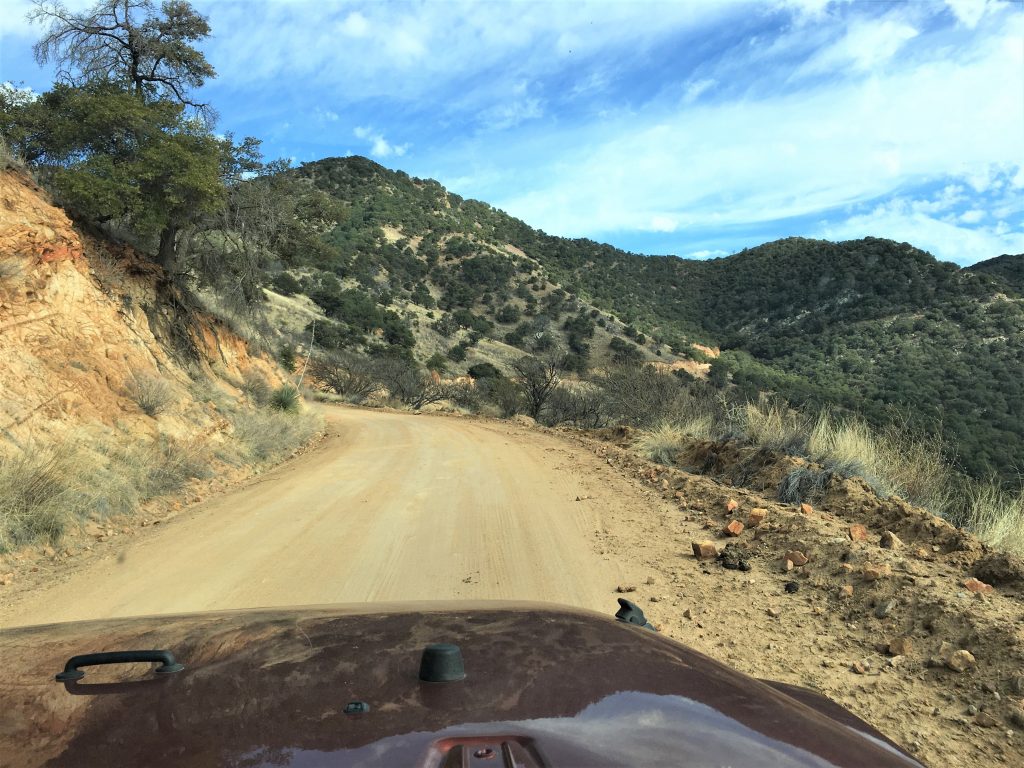
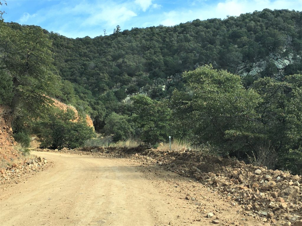
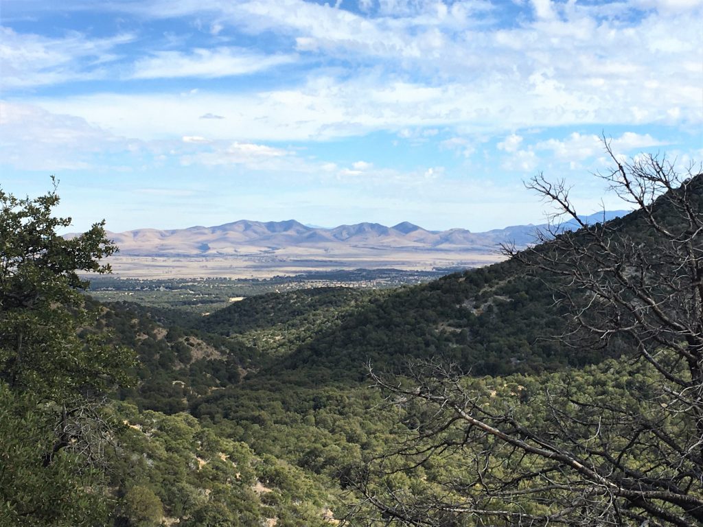
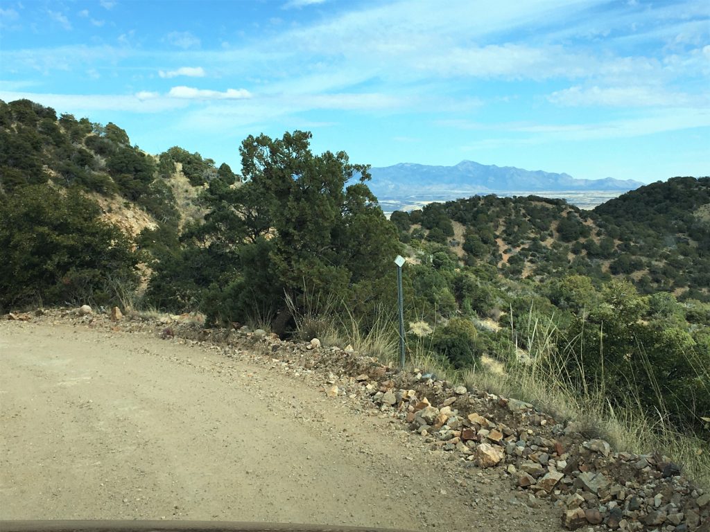
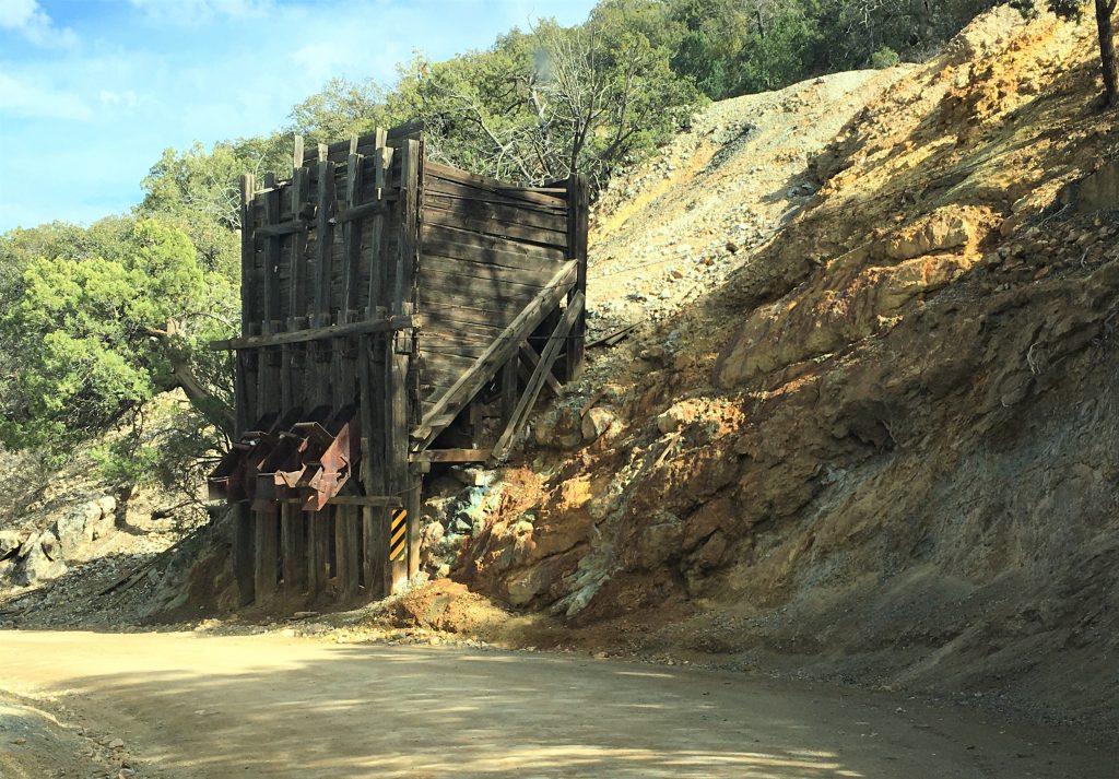
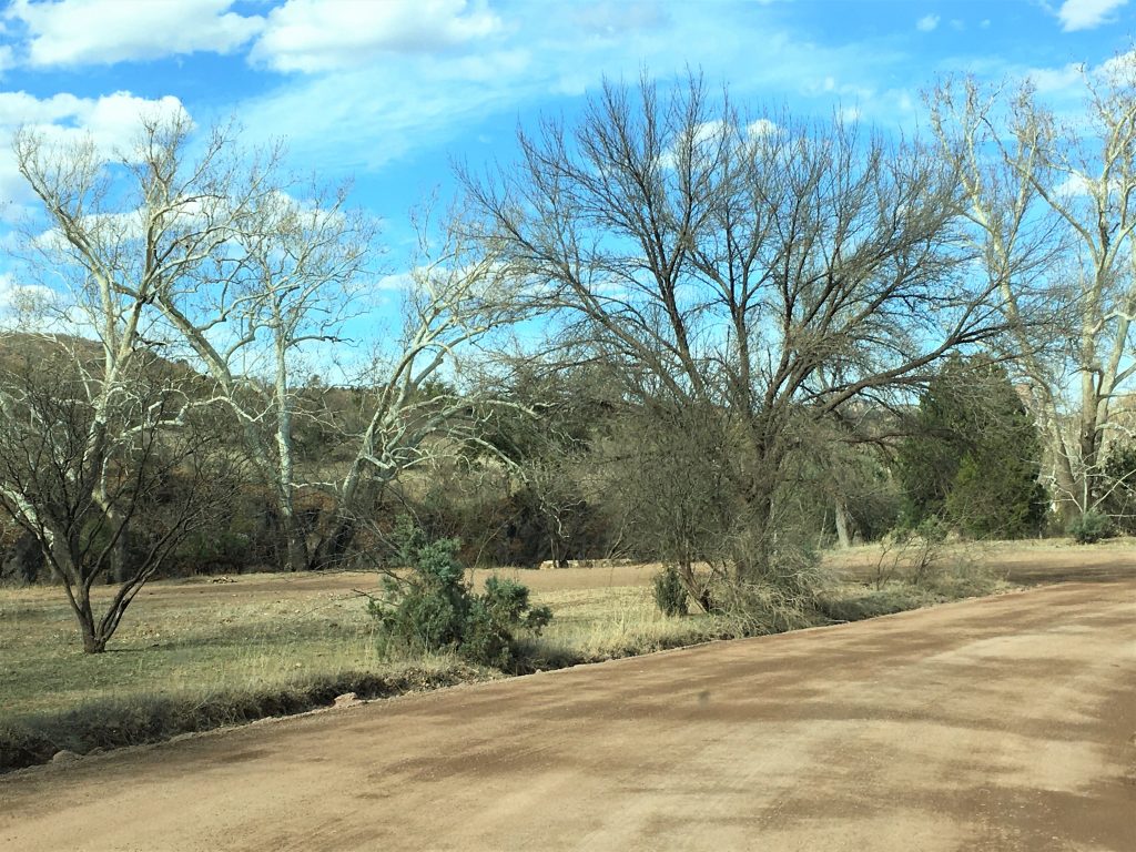
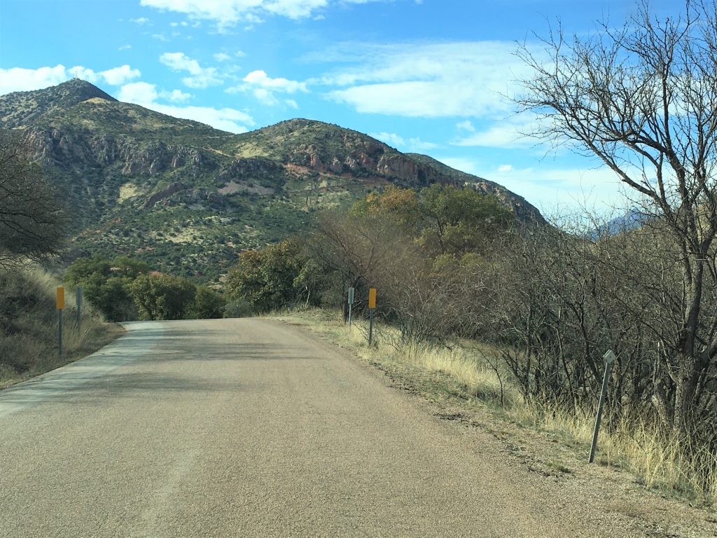
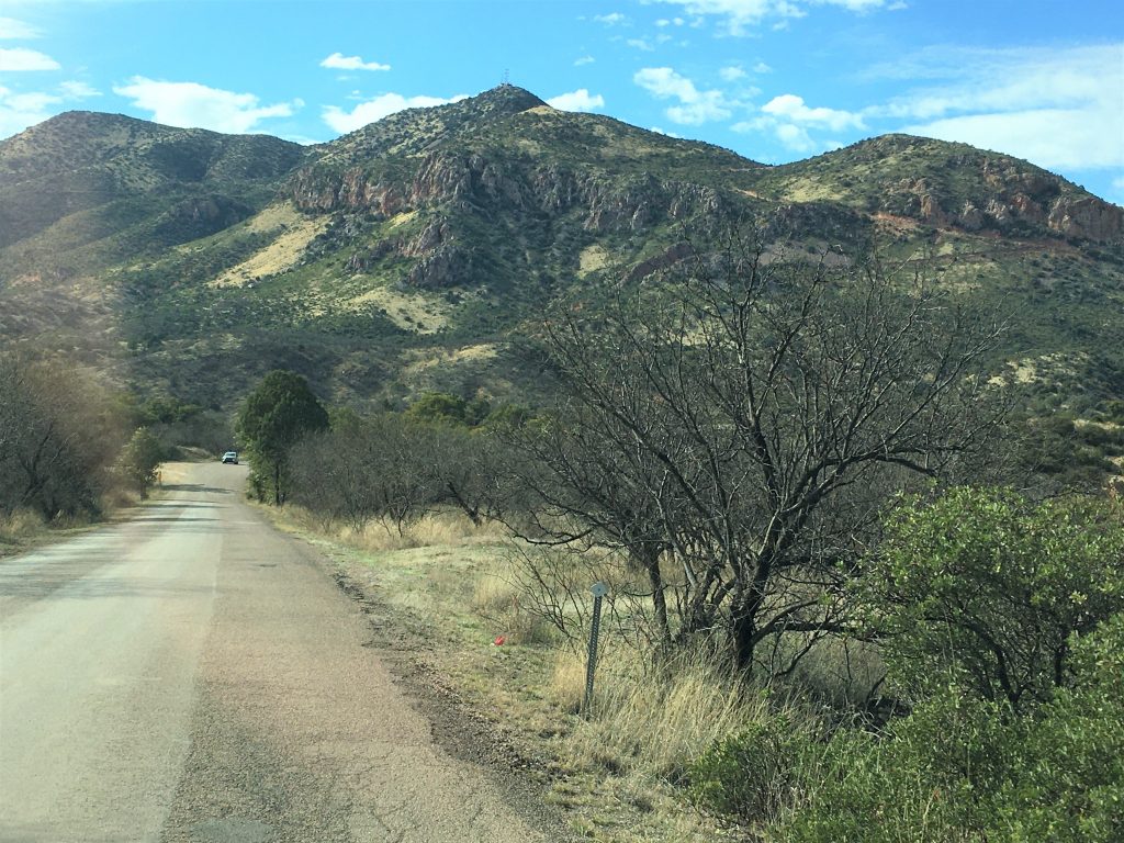
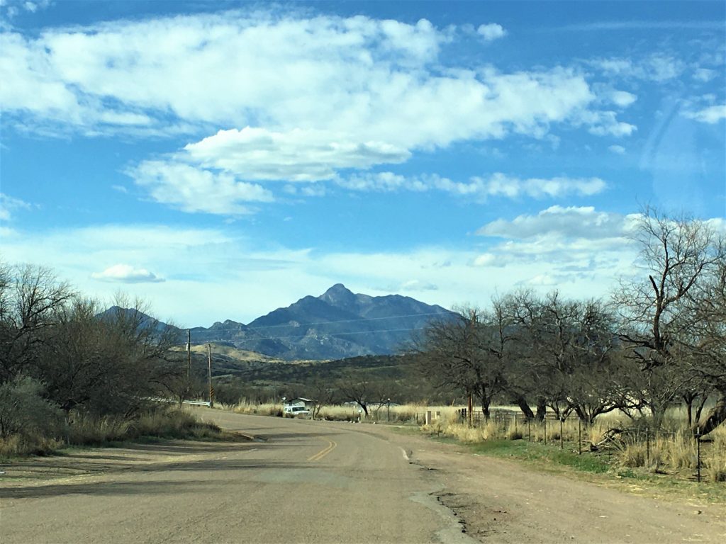
Time to leave town, via the scenic route.
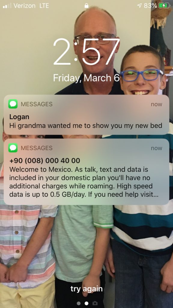
Below is the picture of our nephew, Logan’s new floating bed!
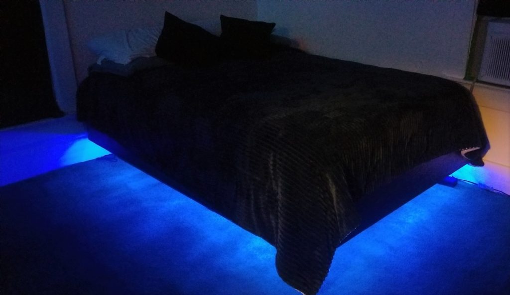
My brother, Lance made it for him. Great job!

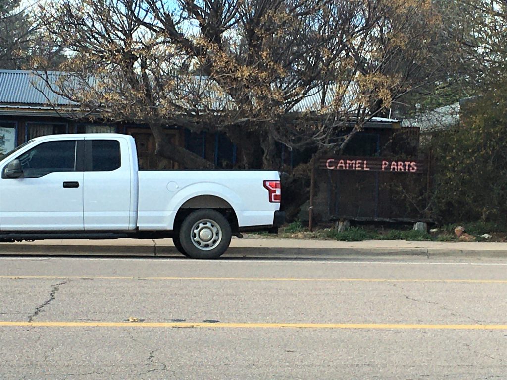
What do you suppose that’s about?
Camel Parts?
Our sons suggested humps, knee replacement or new hooves. lol!!
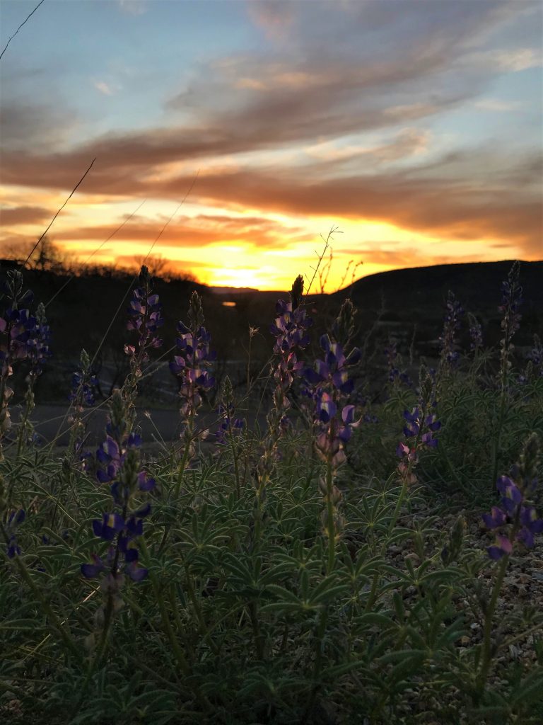
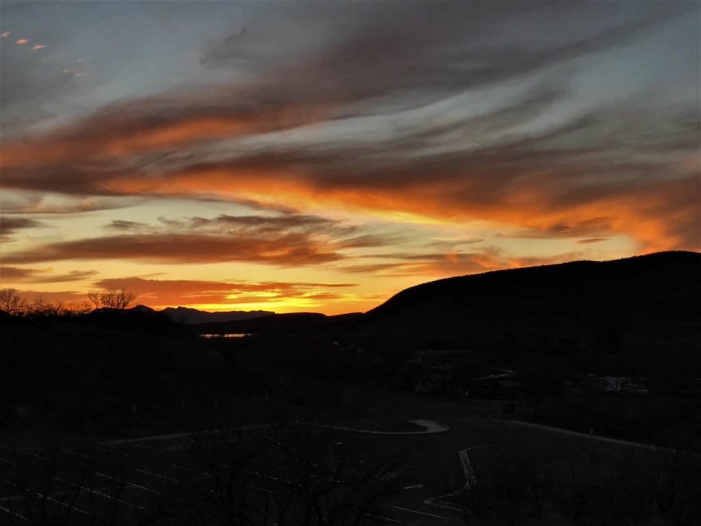
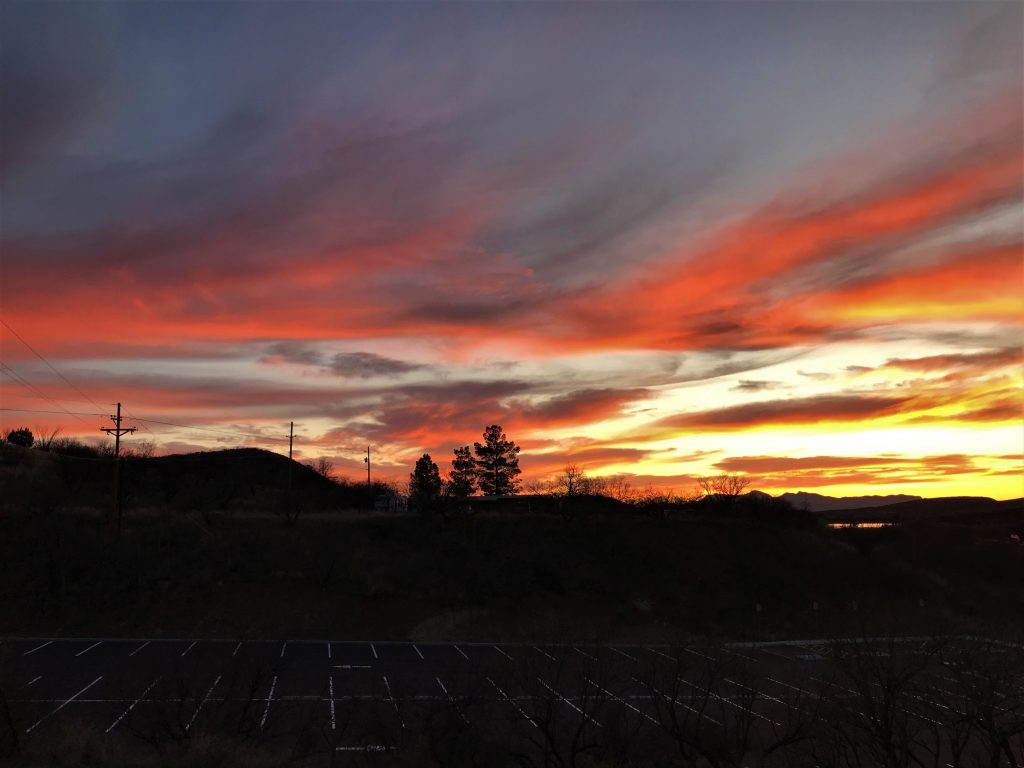
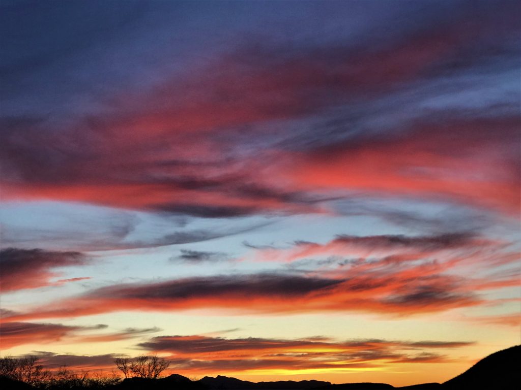
Thus ends our mind-expanding day! Well, except for the stunning sunset the Lord provided!
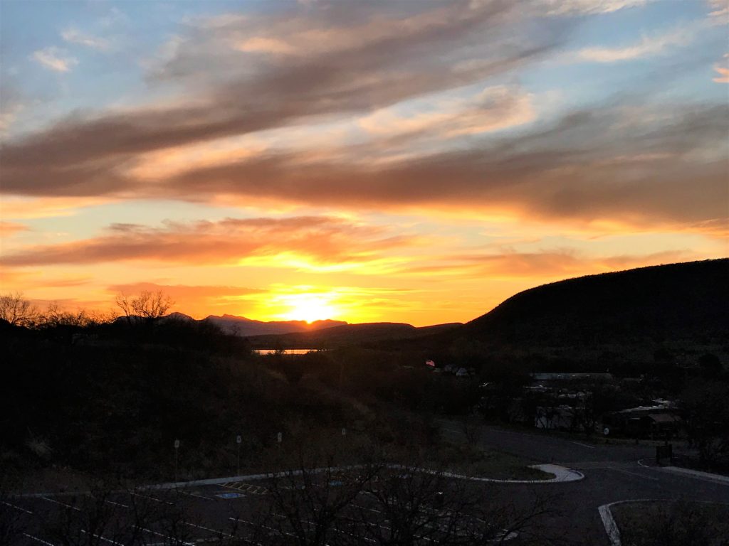
Just up the street to the cabin area.
