Wahweap RV, Lake Powell Marina, Page Arizona
Listen, my son, and be wise, and keep your heart on the right path. ~ Proverbs 23:19
Since we don’t have good internet, and we’ve been very busy this week, I can tell you that we’ve taken more than a thousand pictures. Fortunately for you, you won’t have to view them all, but there’s still a lot. 😊
Today was spent running all around Page.
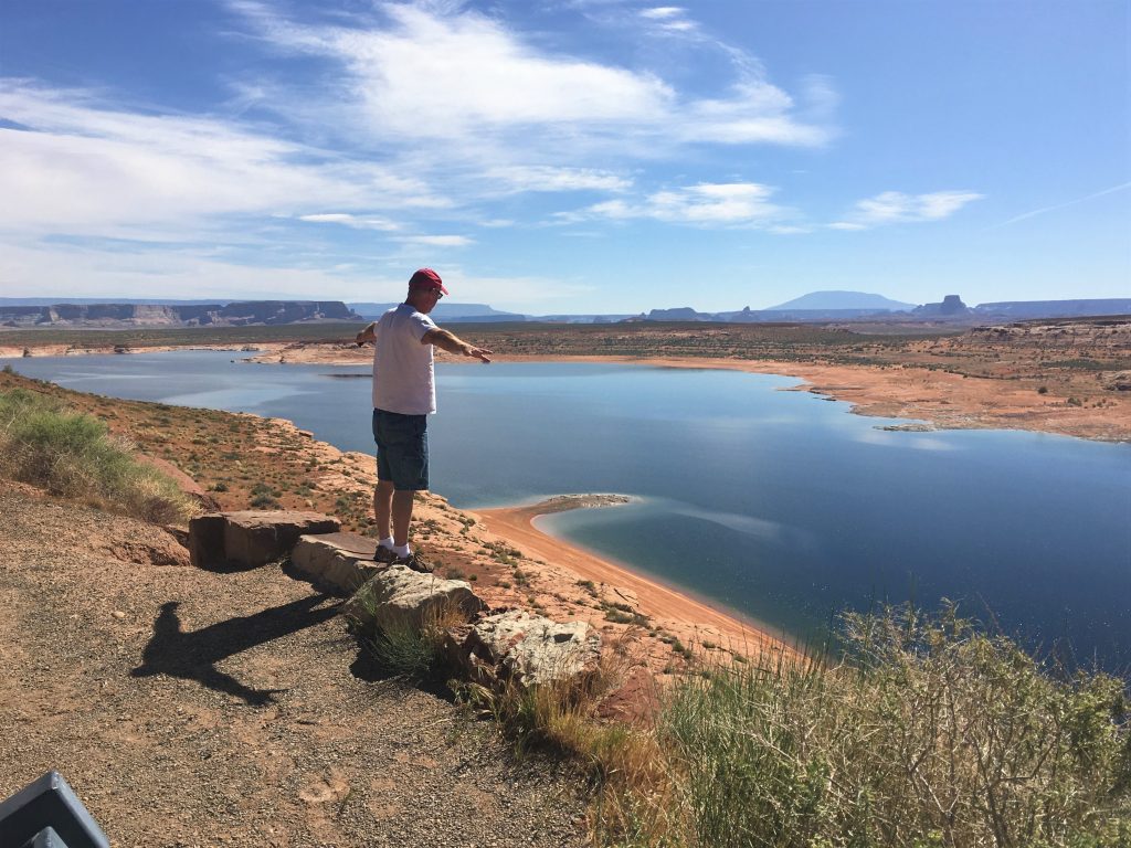
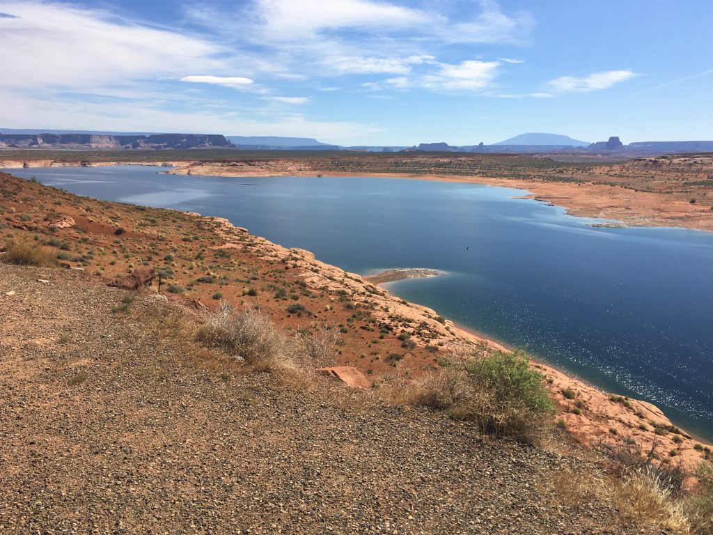
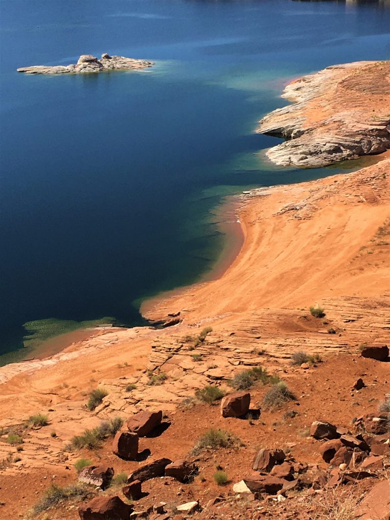
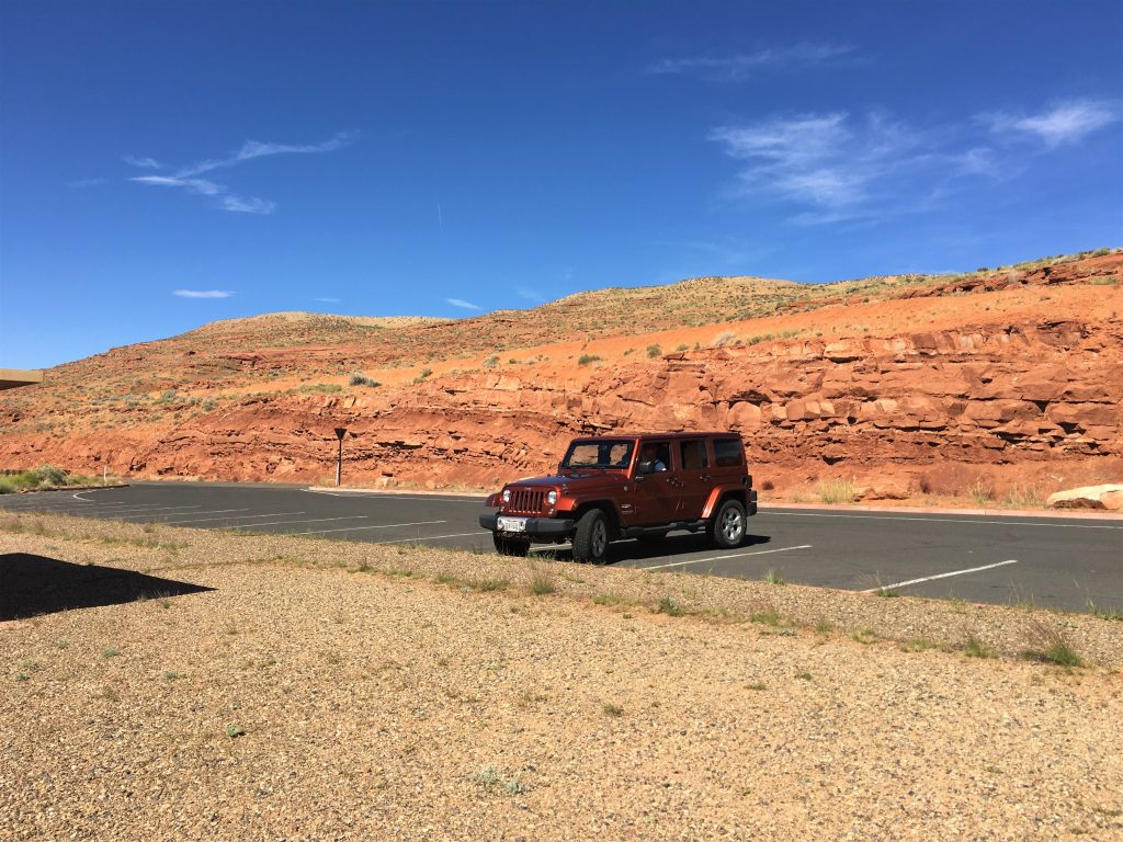
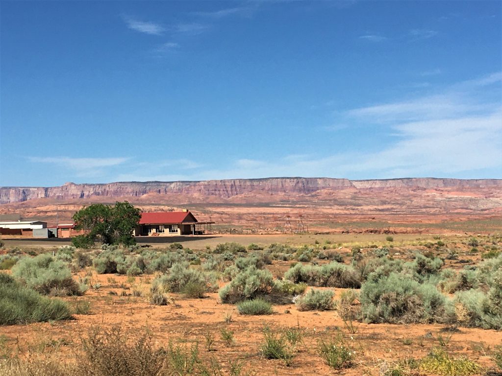
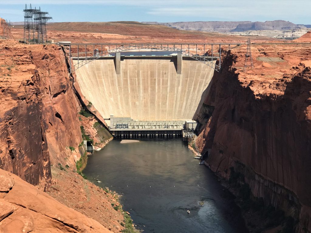
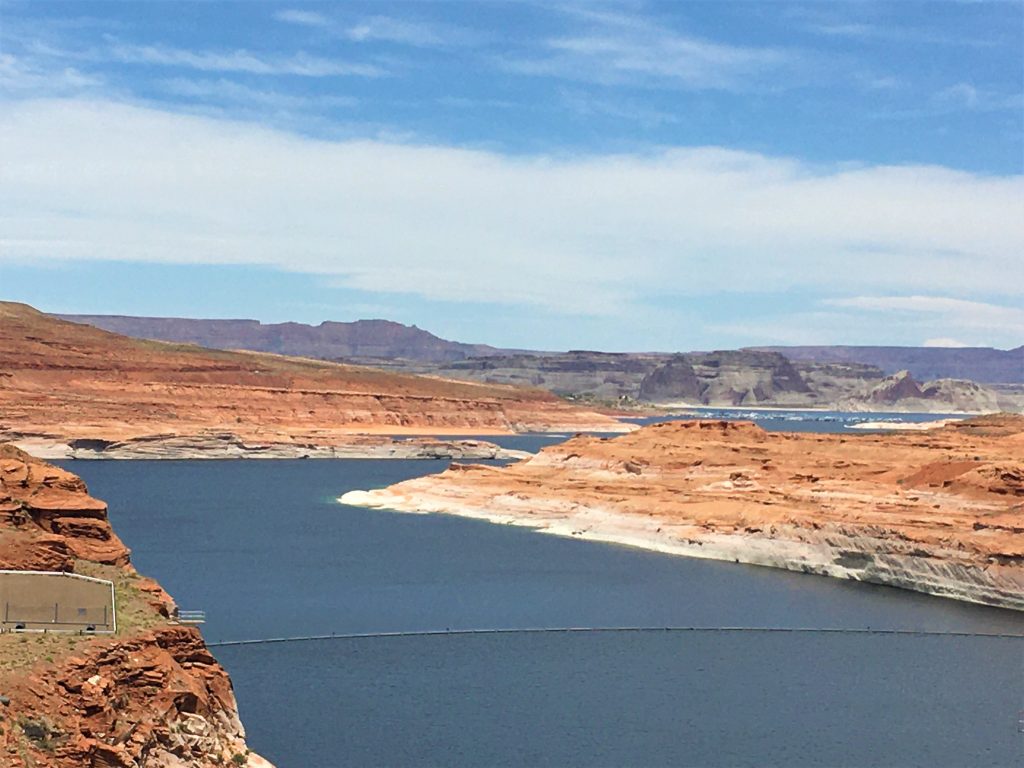
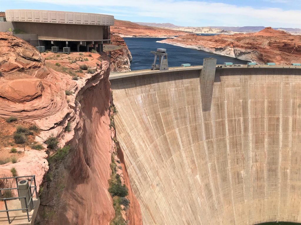
First, we made a quick stop at a roadside viewpoint just outside the campground, to check out the scenery and get a look at the Glen Canyon Dam. I’ll talk more about the dam later today when we actually stop to see it up close.
We don’t know if it’s closed permanently or not, but it most likely is.
Once I return from taking my pictures, we can move on. : )
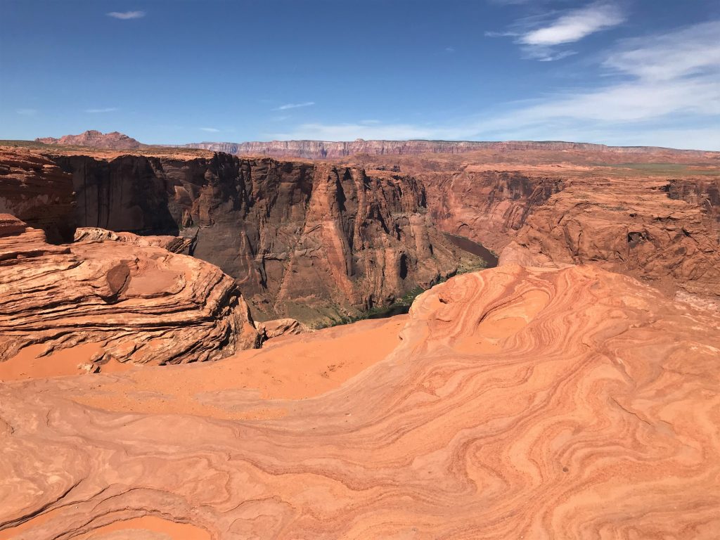
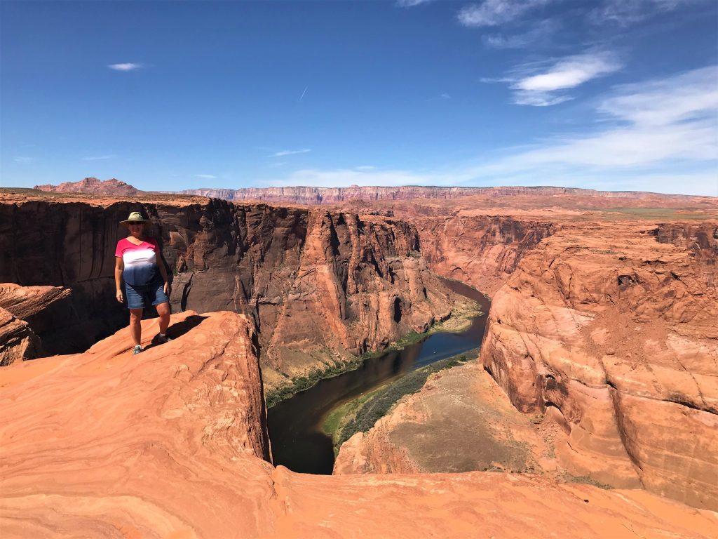
Next, we drove over to check out Horseshoe Bend.
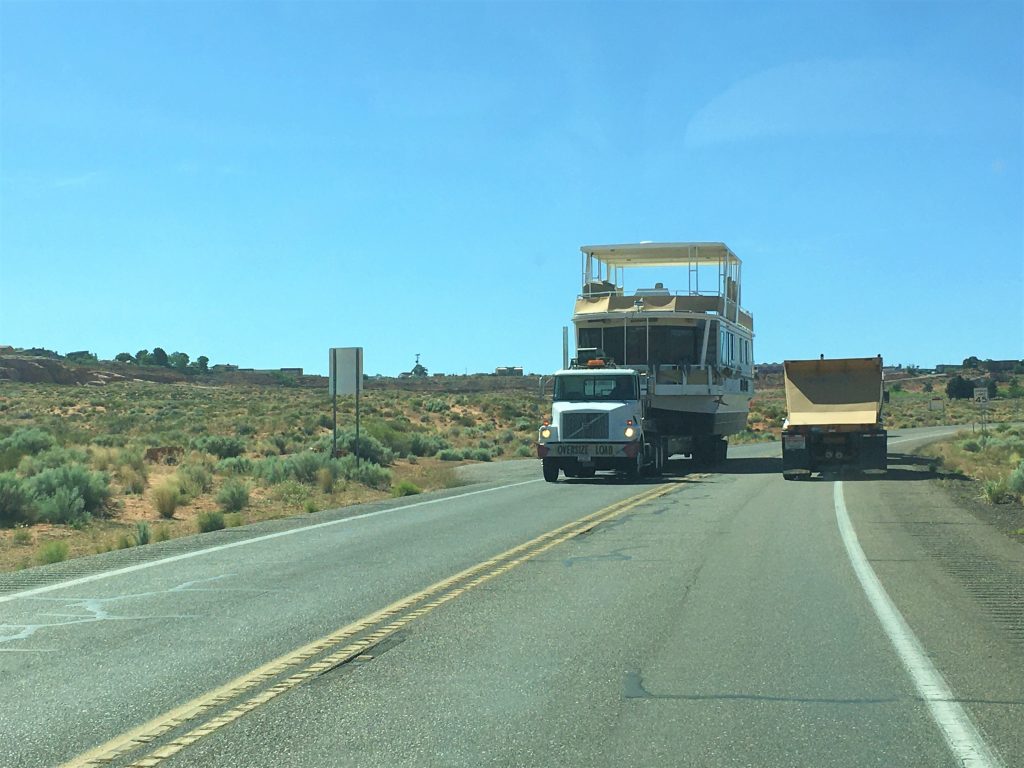
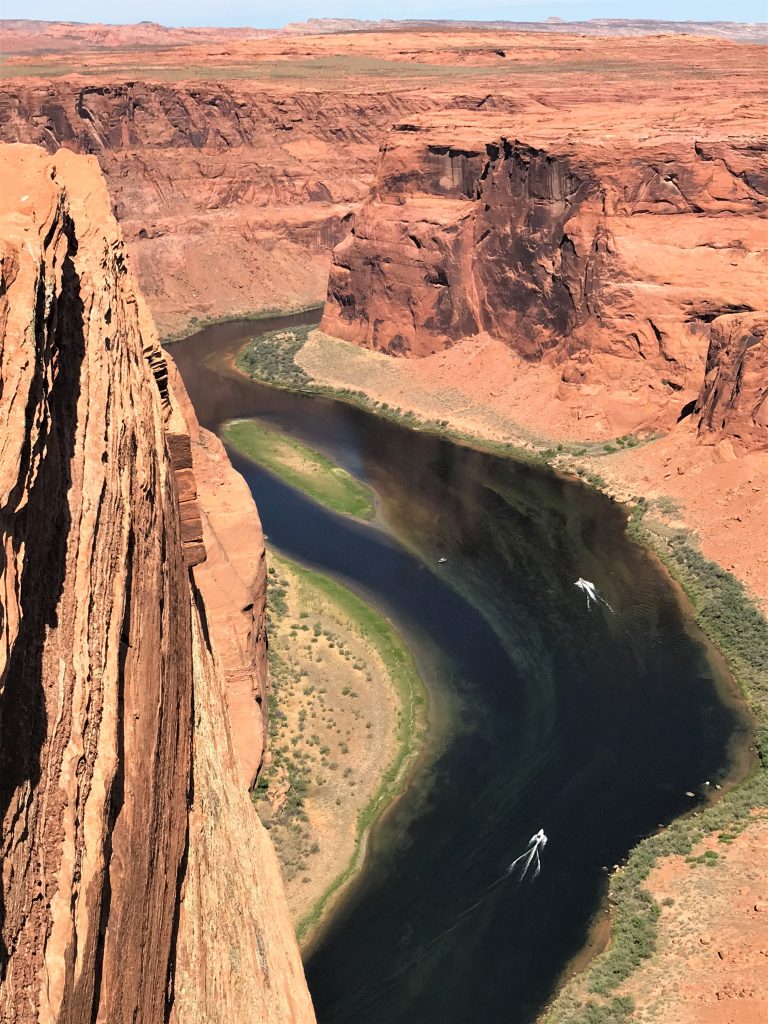
We saw several being taken – – we assume to a dock.
Sooo beautiful!
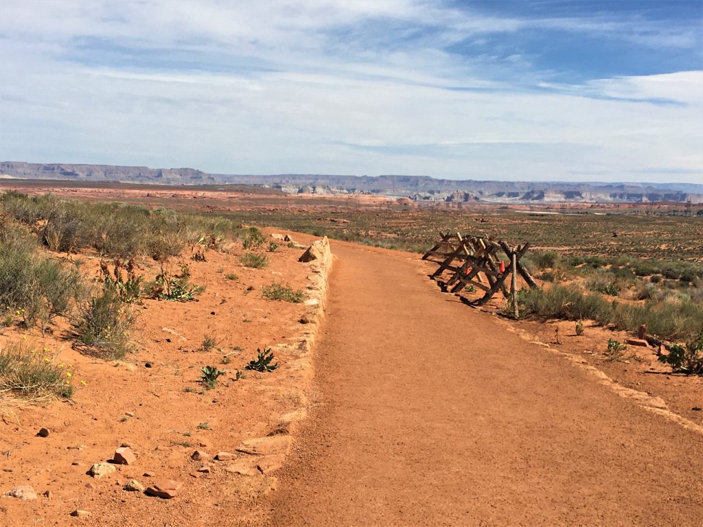
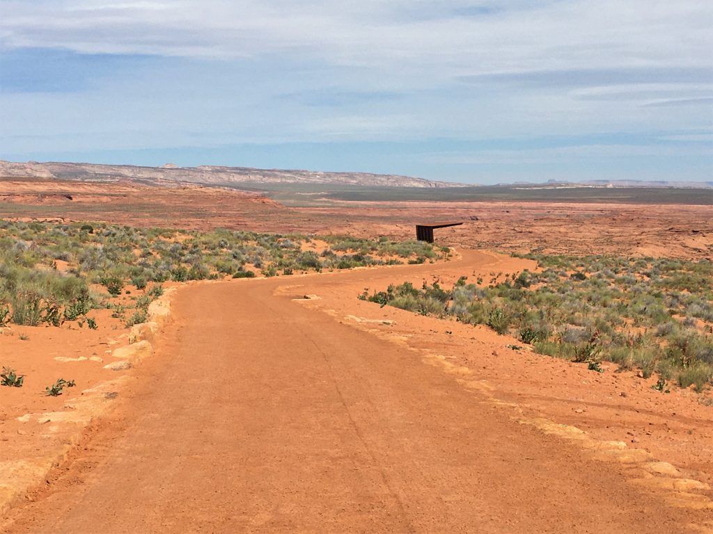
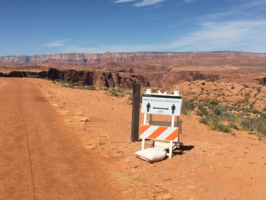
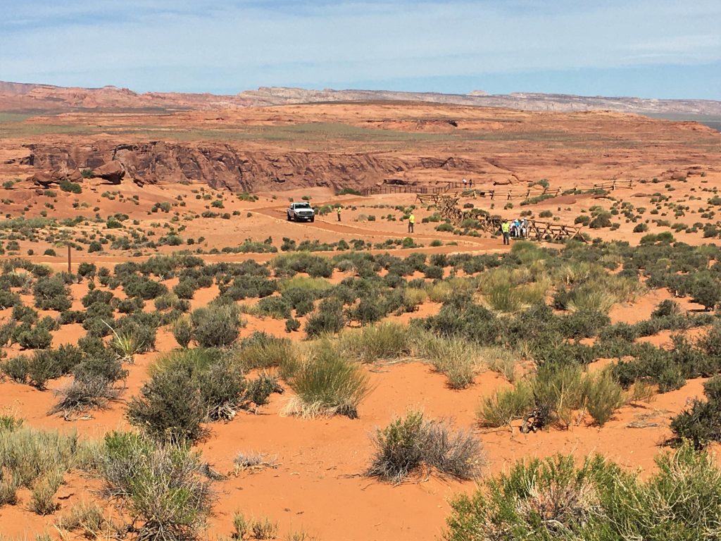
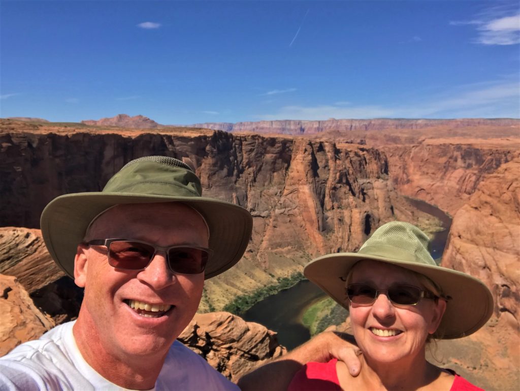
We viewed this gorgeous bend in the Colorado River about seven years ago when we passed through here on vacation, but they’ve really fixed the place up since then. Back then, there was no designated viewpoint, you just walked up and took a look over the edge. In 2017, the National Park had had enough of people doing stupid things, so they made a large parking area, a path wide enough to drive a car or two on, and added bathrooms, viewing platforms, and railings. To be sure, you still have plenty of opportunity to do something stupid if you want, but now, that’s on you.
The changes made here were part of a collaborative effort between the National Park Service, the City of Page, the Glen Canyon National Recreation Area, the Arizona Park Service, and Coconino County.
Here’s what the Lake Powell Visitor Guide Magazine has to say about this awesome place.
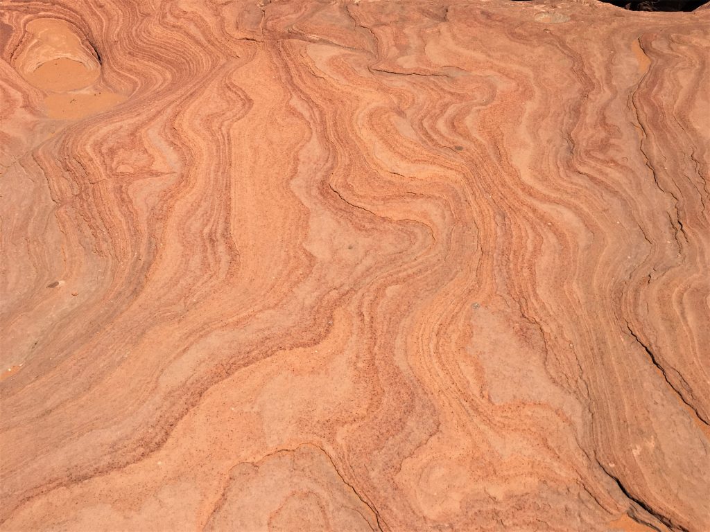
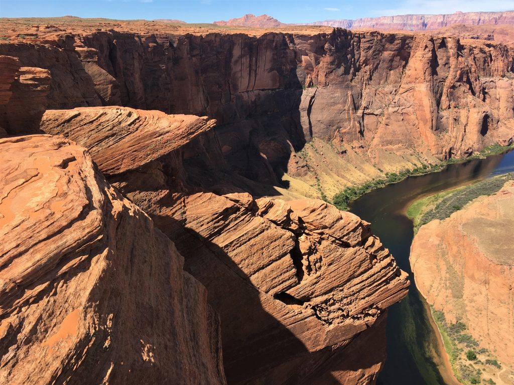
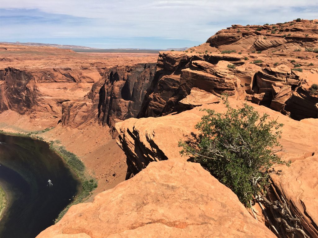
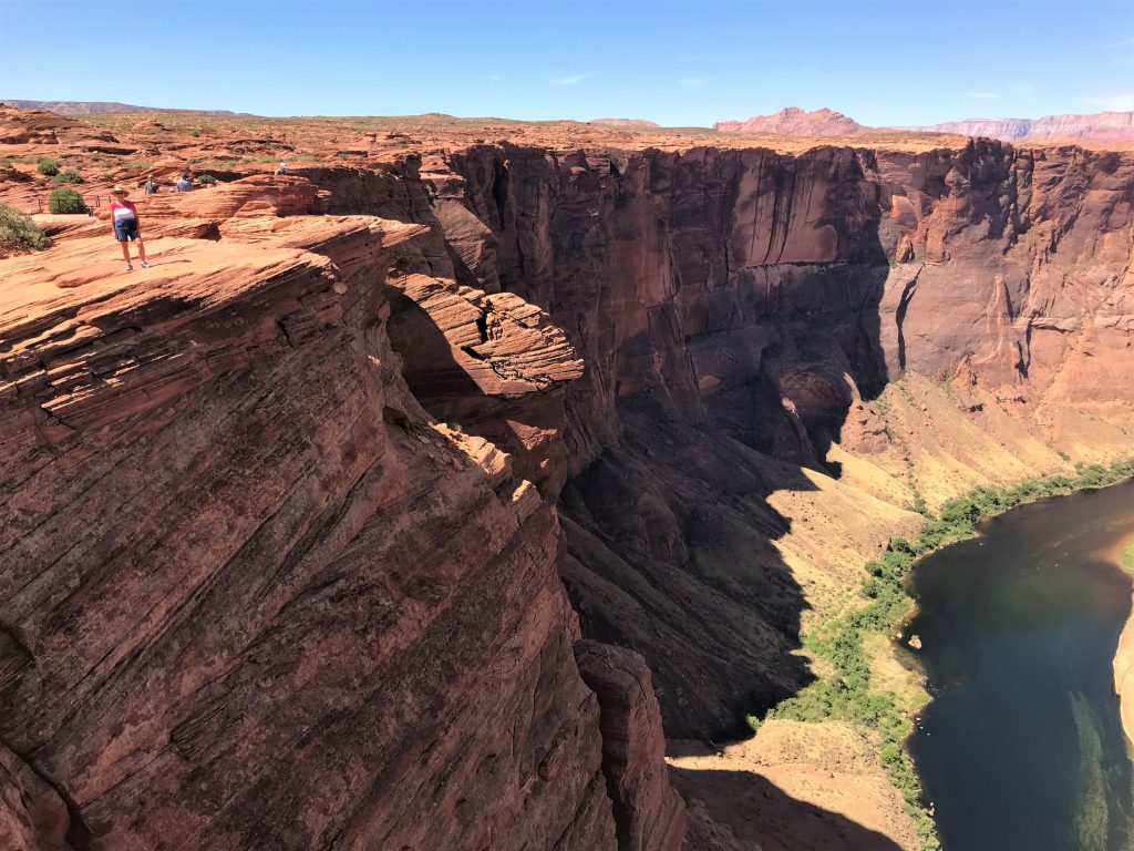
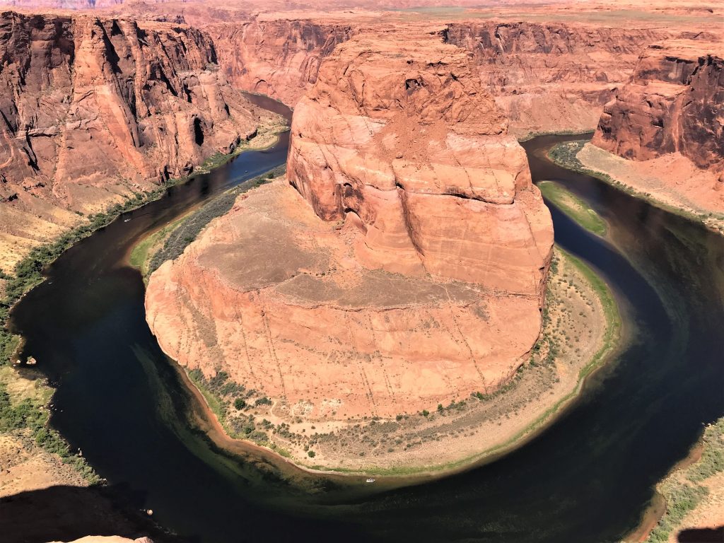
Horseshoe Bend is a 270⁰ hairpin curve in the Colorado River that wraps around a sandstone pillar, creating an exceptional image when viewed from the rocky precipice 1,000’ above the river. The vivid blues and greens of the river contrast sharply with the red sandstone pillar sitting on a peninsula, creating nearly unbelievable eye-candy.
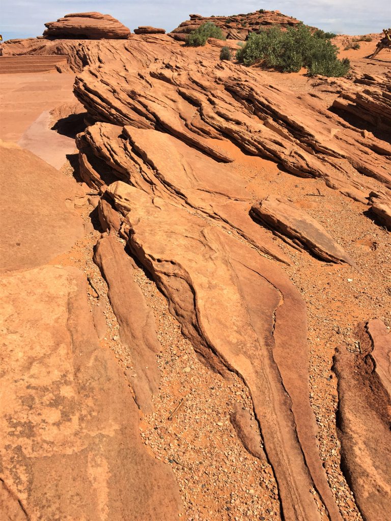
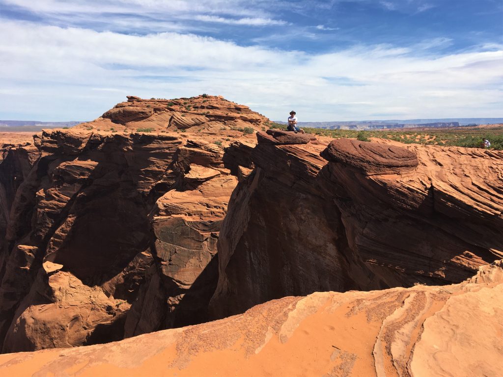
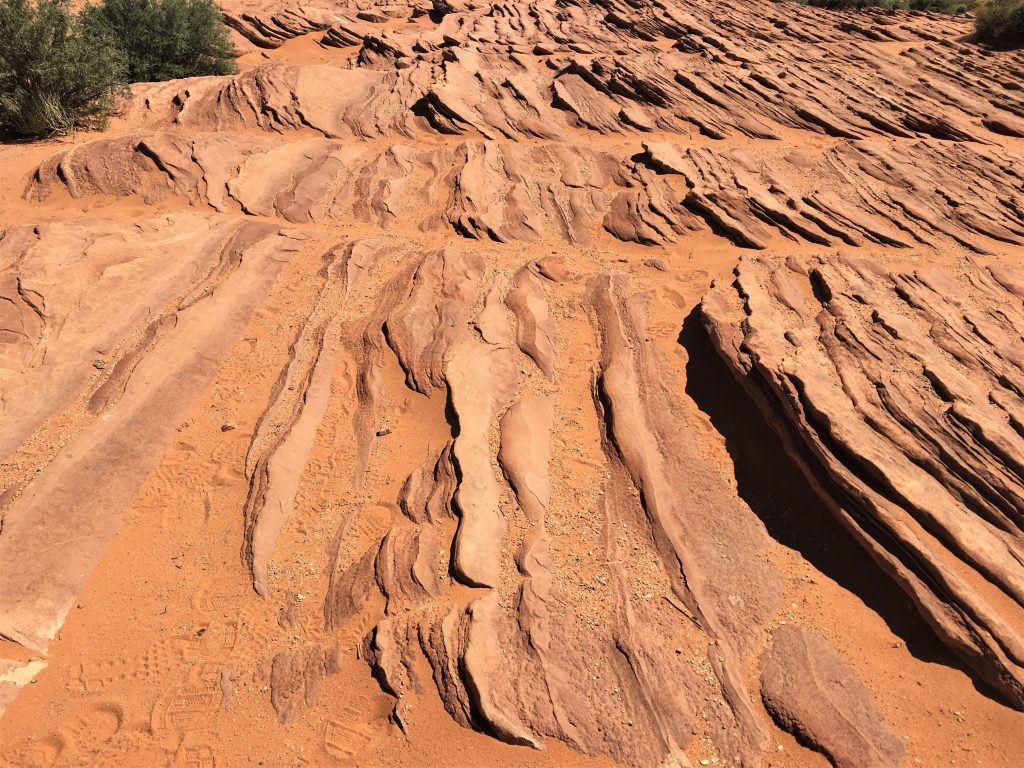
Not so long ago, a small parking lot with a barely marked trail wound its way up along the short (1.25-mile roundtrip) sandy and often hot trail to an unprotected overlook. Leaning out over the shelf of rock, visitors could perch and click, memorializing their visit to one of the most jaw-dropping views of the Colorado River. No fence, no railing obstructed their view of stopped them from falling.
As the secret of Horseshoe Bend got out, changes had to be made. Accessibility and safety became major concerns, heat-related issues were growing and anyone challenged by age or disabilities found it nearly impossible to reach the prized destination. In the latter half of 2017, construction got underway on the much-needed improvements to Horseshoe Bend Overlook.
Some people complain about the “taming” of this once-wild location, but the reality is that the increasing number of people arriving to enjoy this spectacular site necessitated the reforms. The new features make Horseshoe accessible to more people and are as unobtrusive as possible – about 99% of the rim is still wild and open, so enjoy – – but please don’t fall!
The overlook is 4,200 feet above sea level, and the Colorado River is at 3,200 feet above sea level, making it a 1,000-foot drop. The rock it circles around is 700’ tall. I tried in vain to discover how deep the water is here. But you can tell from the pictures that it must be very deep!
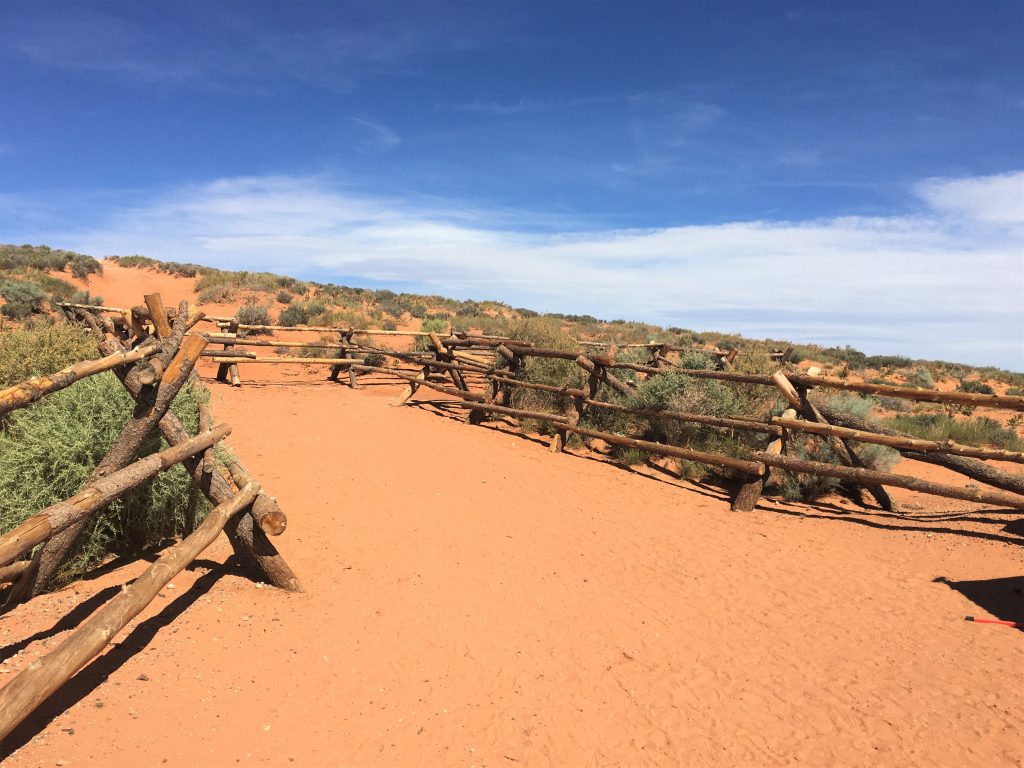
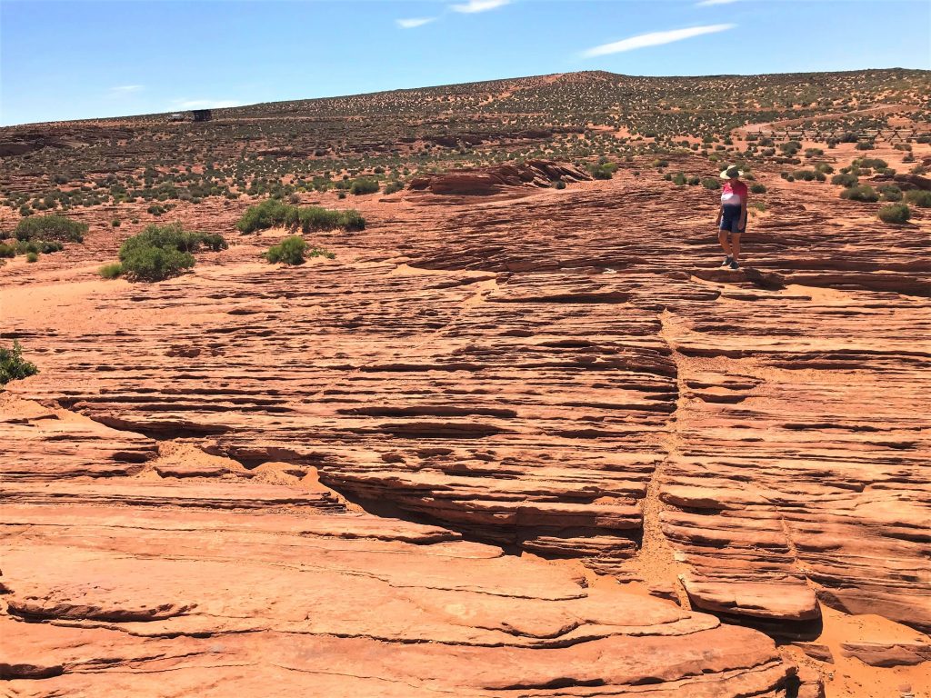
It’s the start of the trail to the overlook.
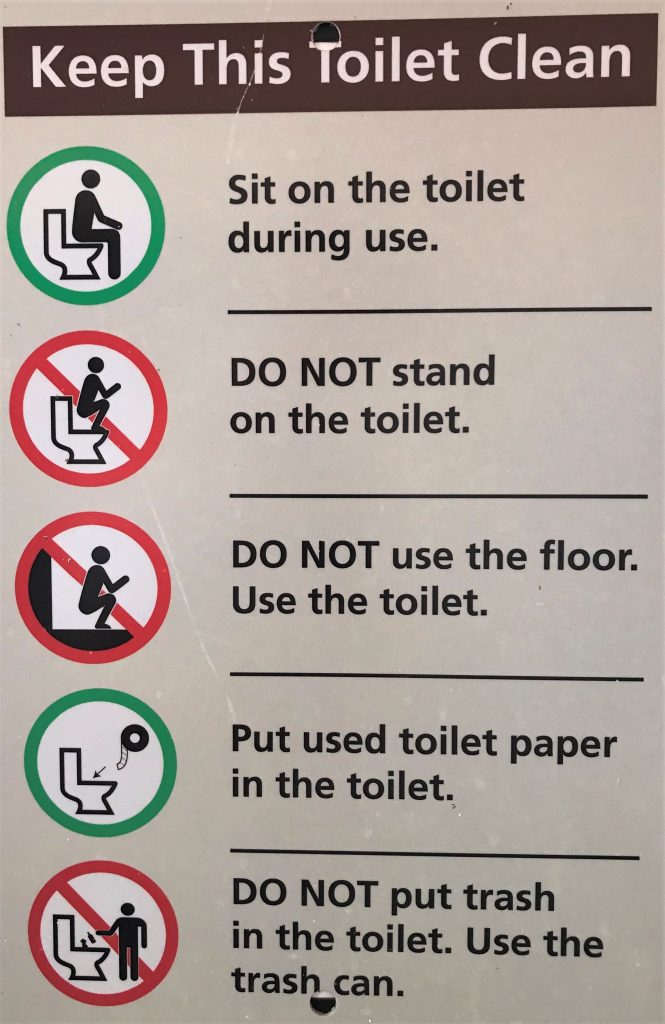
Be sure to read it.
You’ll either laugh out loud, or shake your head in wonder about people. : )
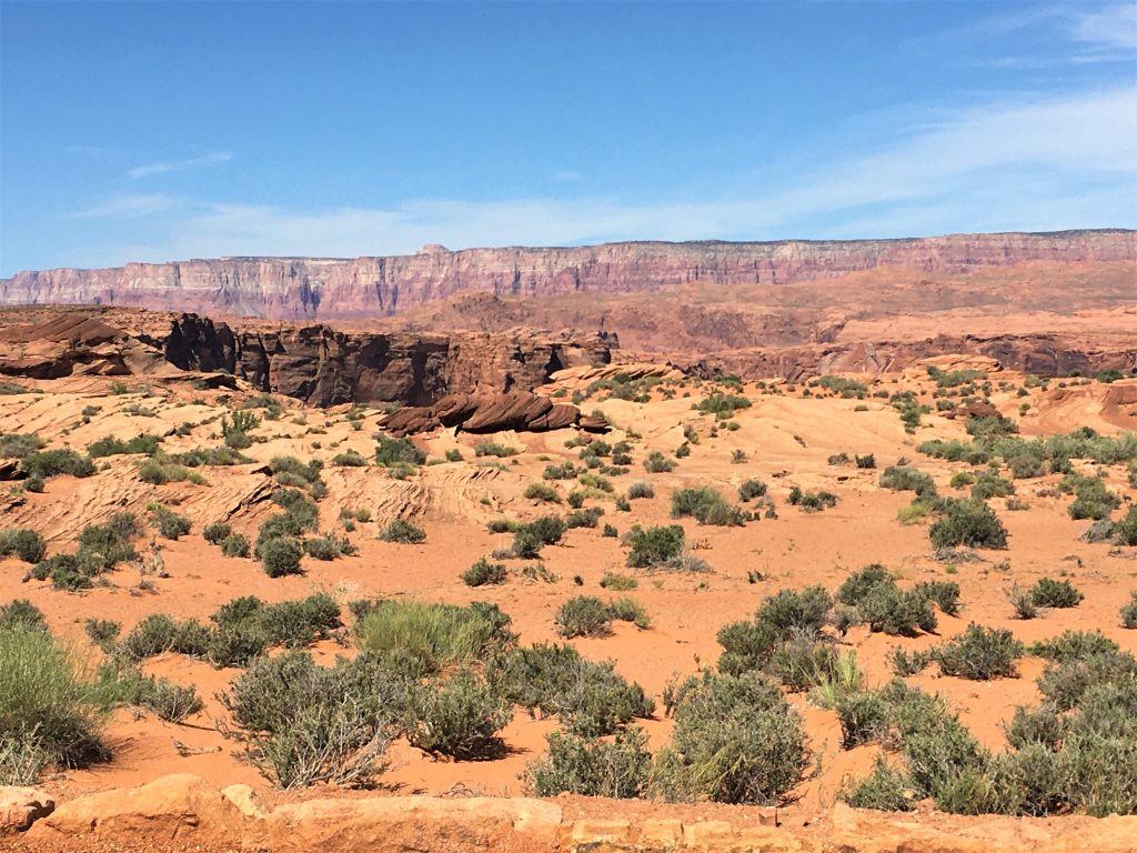
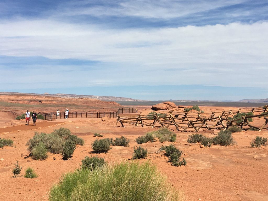
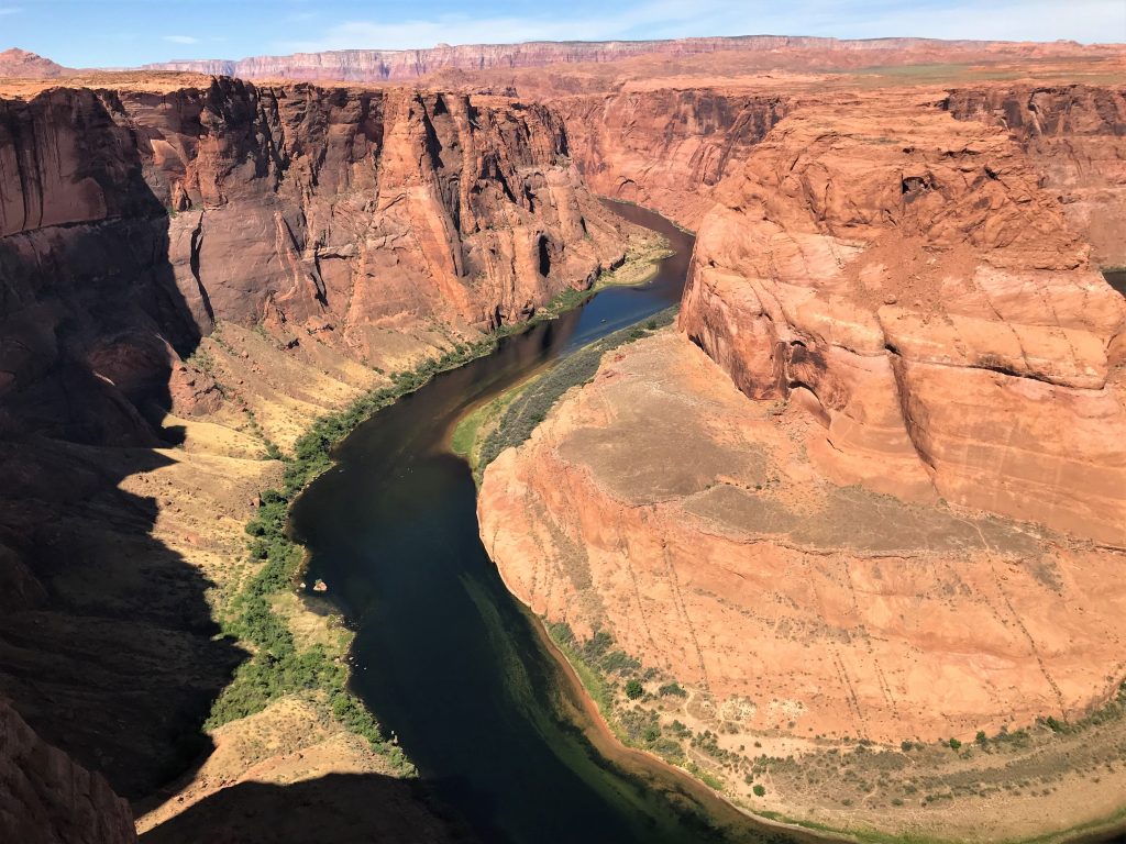
That’s all I have to say about the views from here!
There just aren’t adequate words.
Just praise to the Father who created it.
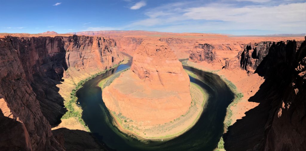
The water’s so clear, you can see what’s underneath!
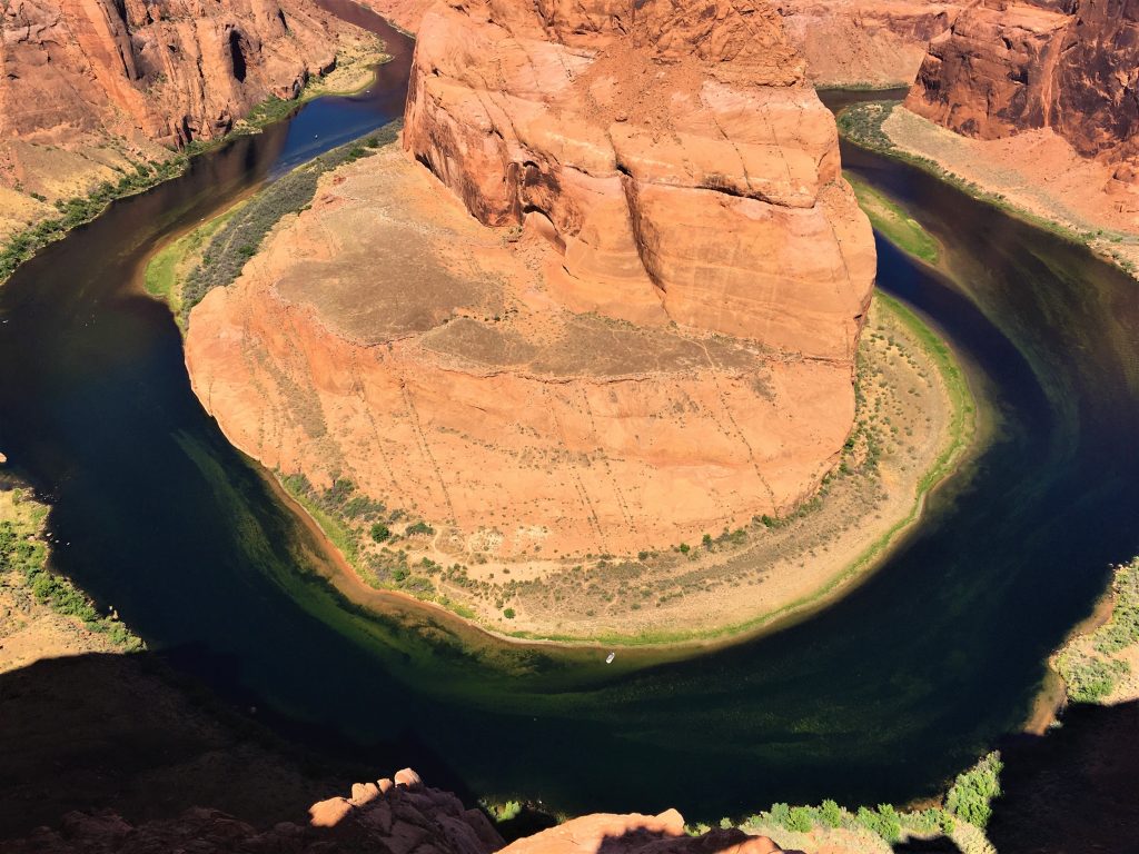
That spec you see near the rock is a small boat.
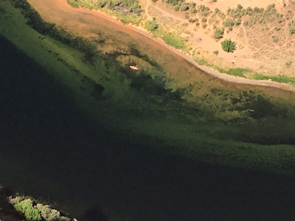
Can you just imagine how that looks to them? Wow!
Moving on.
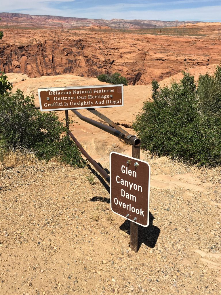
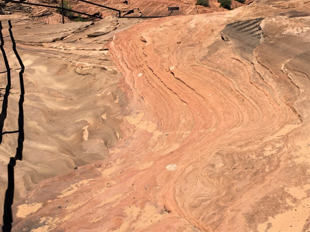
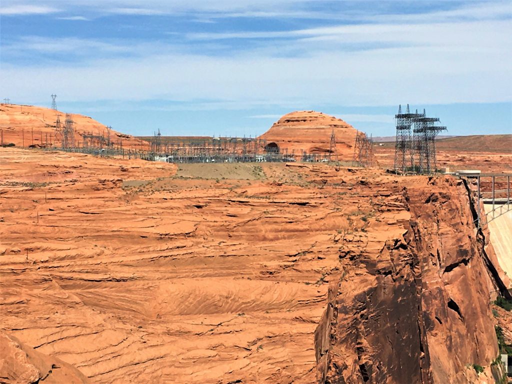
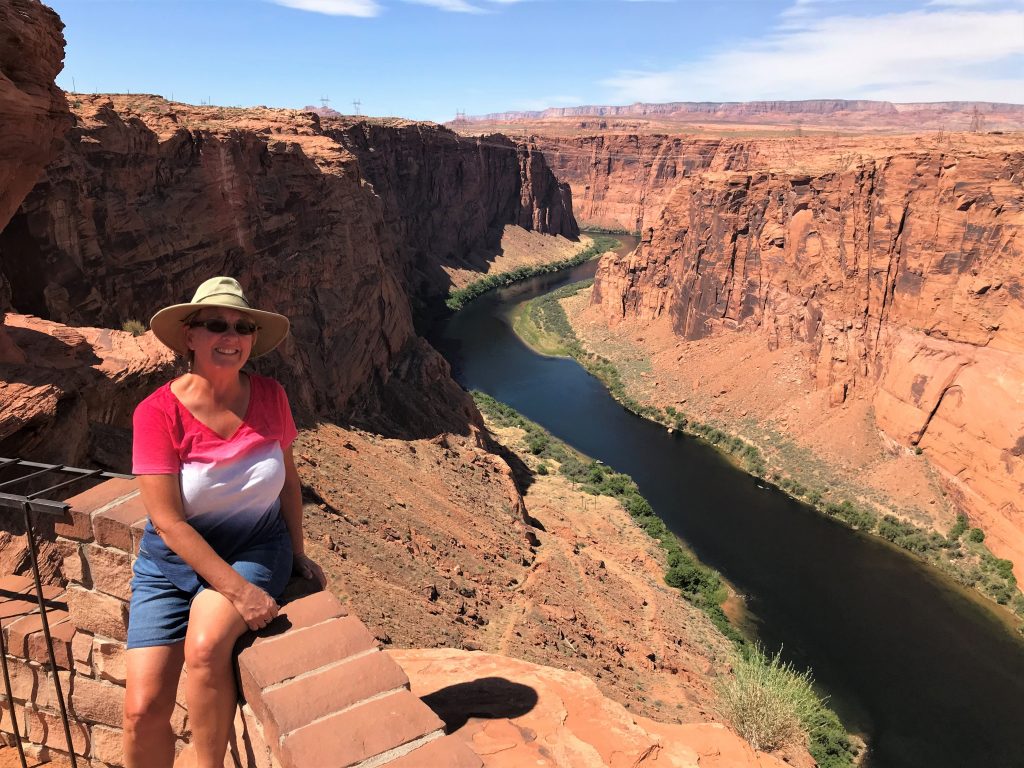
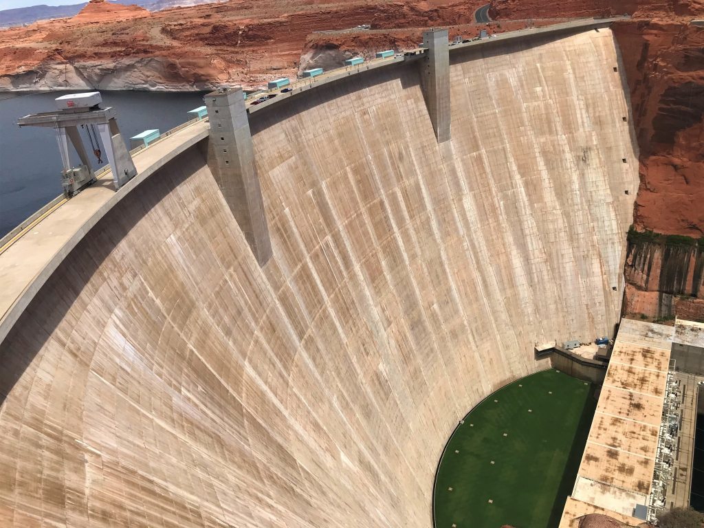
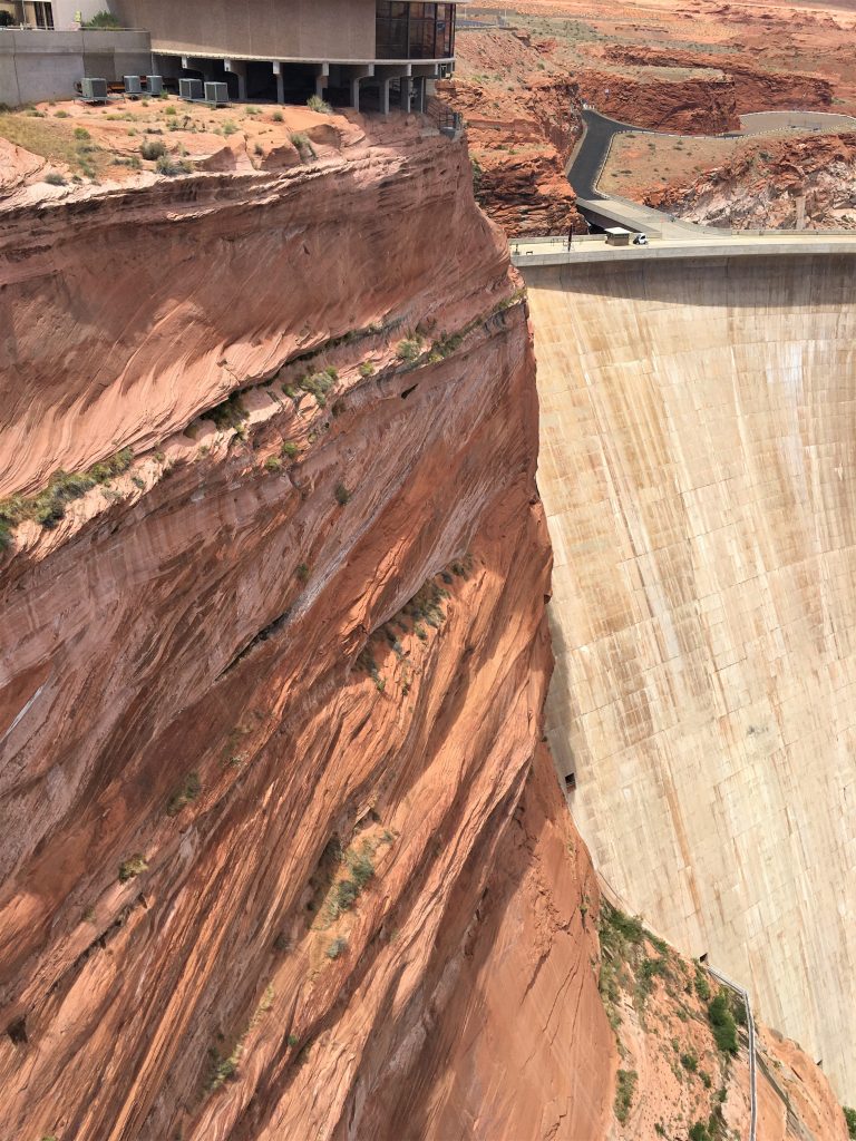
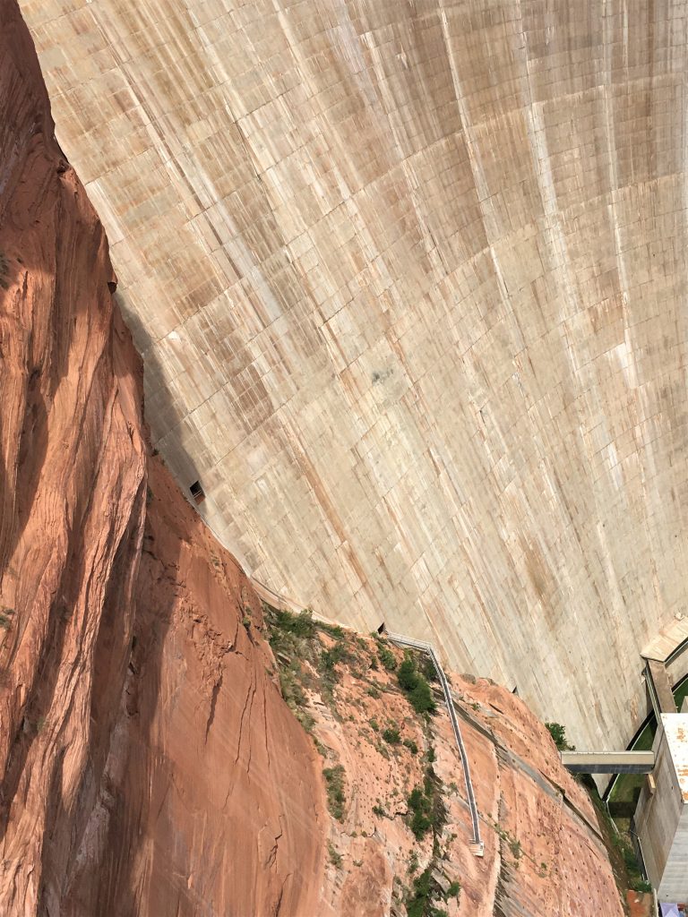
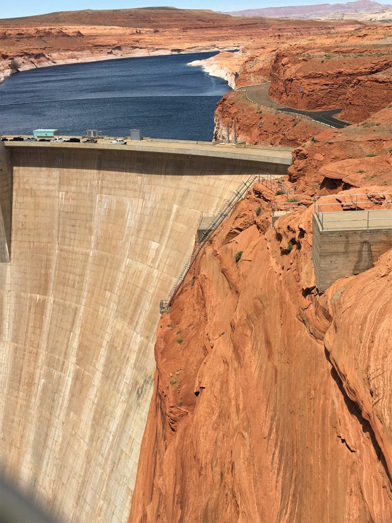
There’s a sign by the side of the road that mentions a dam viewing area, so we did that next. Added a different perspective than walking over the bridge, which we’ll do later today. We didn’t realize we’d have to walk down this rocky trail to get to it. No big deal, just surprised us. It’s definitely not accessible to everyone.
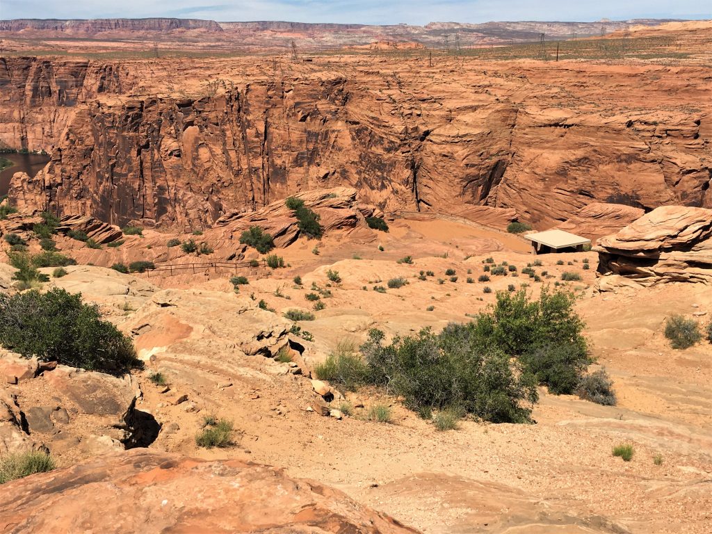
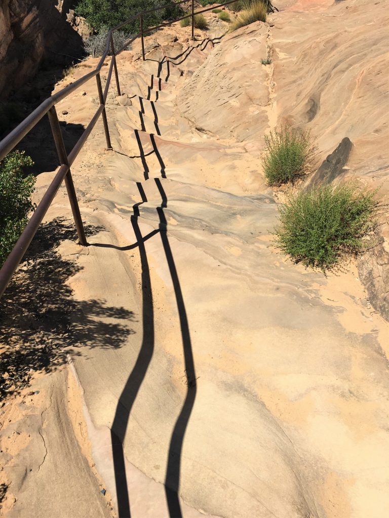

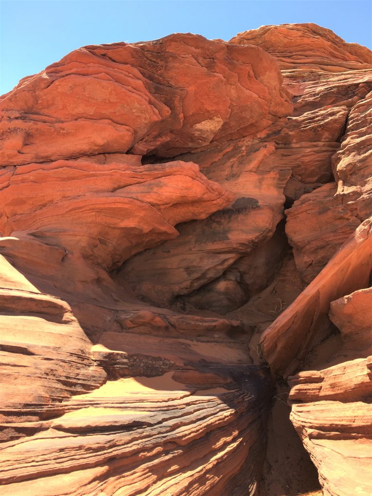
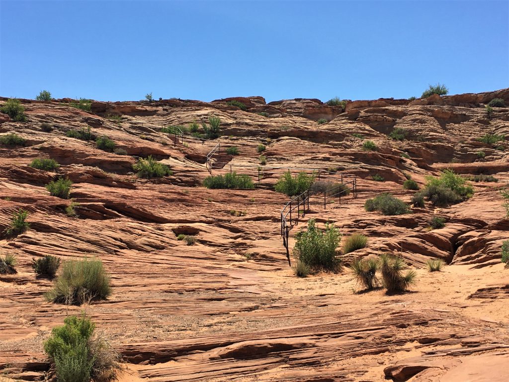
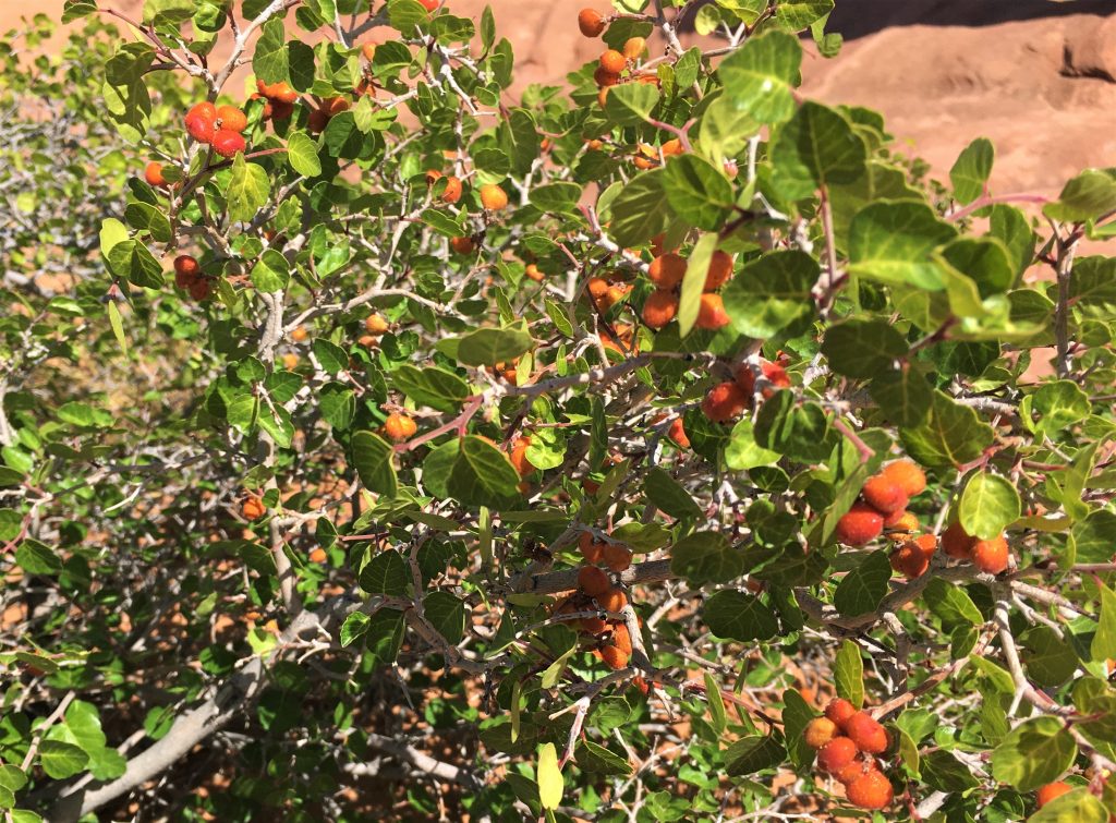
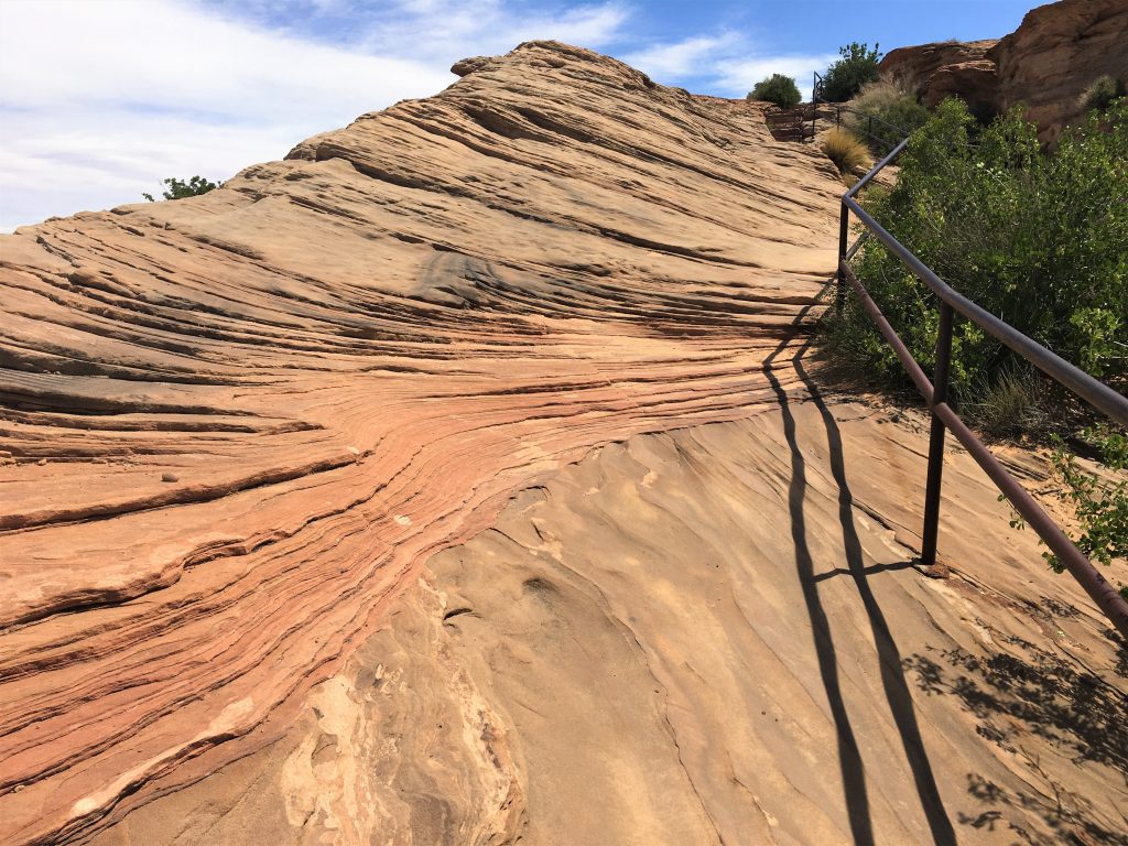
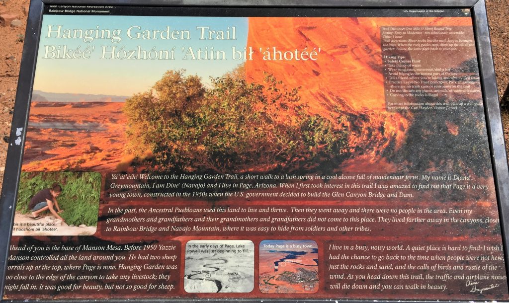
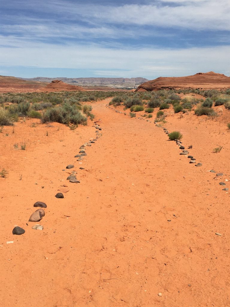
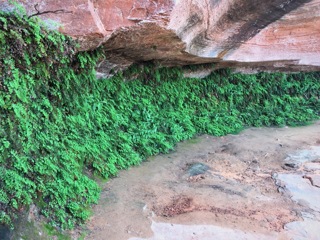
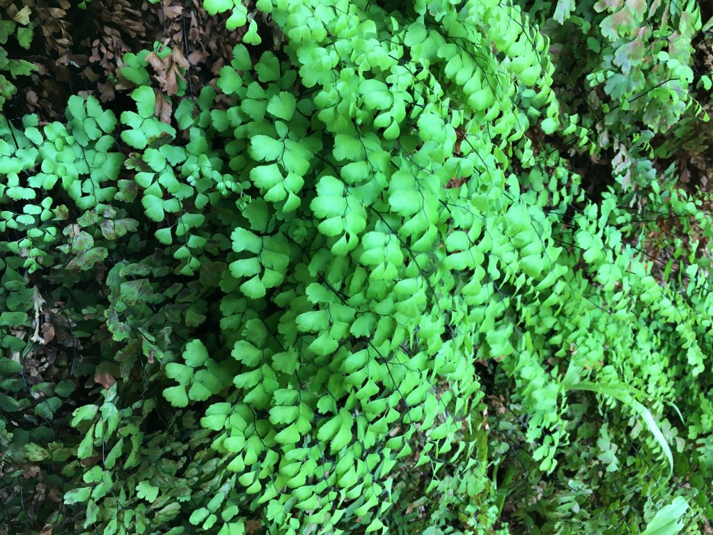
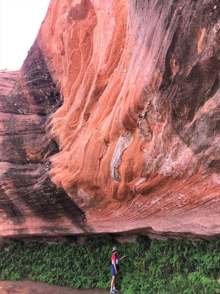
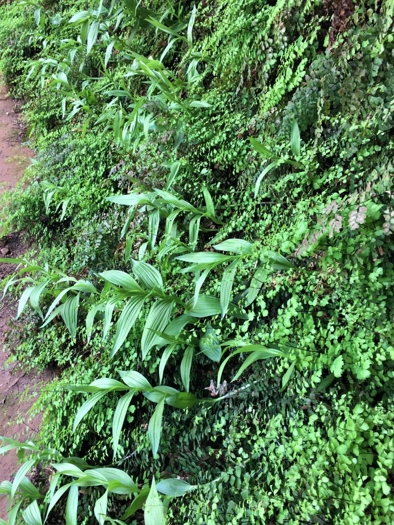
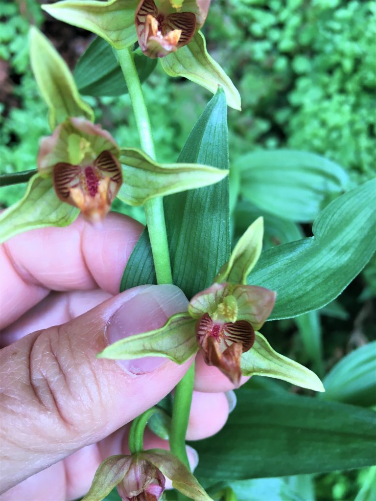
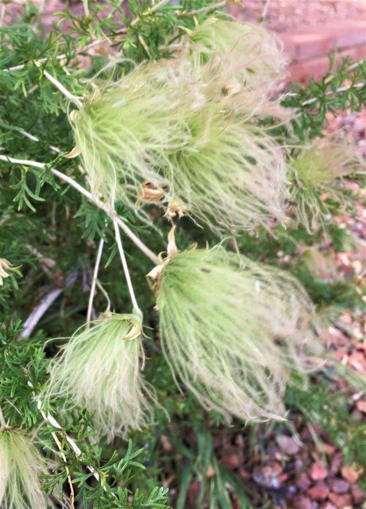
On to the Hanging Garden trail – – a pull-off on the side of the road near the bridge by the dam. It was hot walk through the desert, but that kinda made the reward at the end that much more impressive. There was a small area where ferns and a few flowers were attached to a rock wall – with no visible means of moisture – and yet there was some there. Very cool! Literally and figuratively!
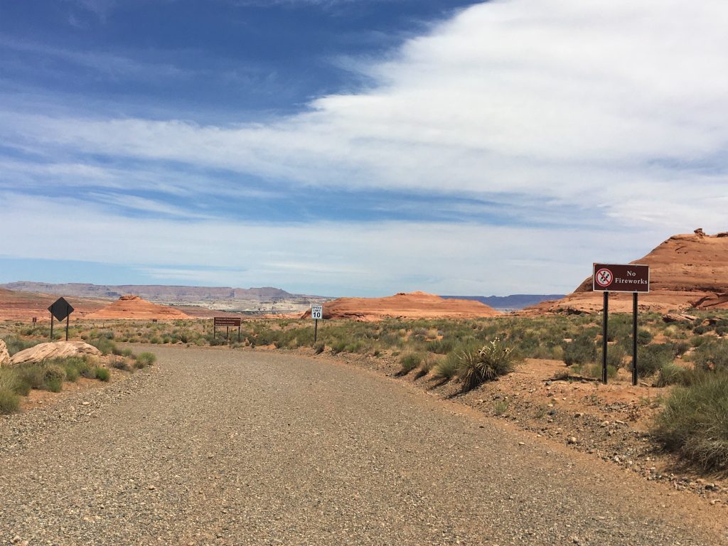
This is the parking lot and the road you have to walk
to get to the trail because the road is closed to vehicle traffic.
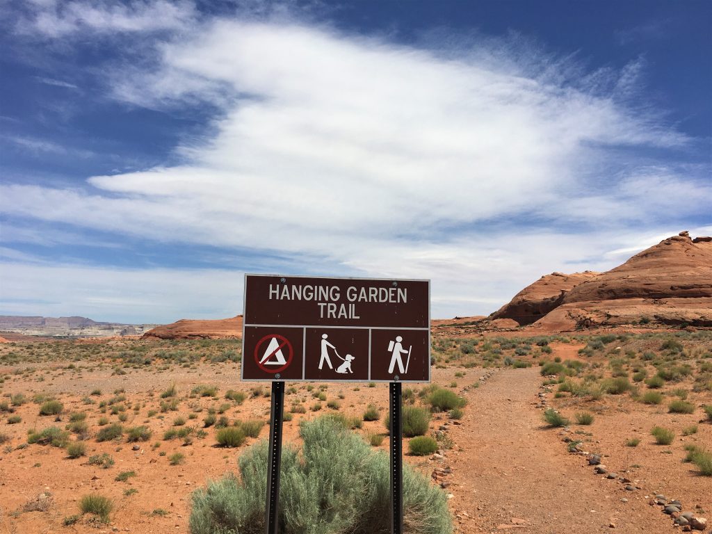
Thank you, whomever you are!
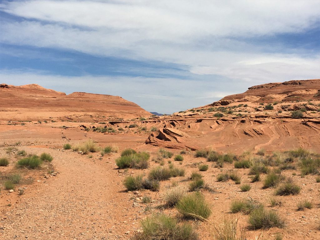
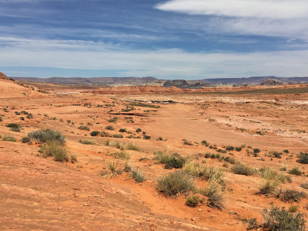
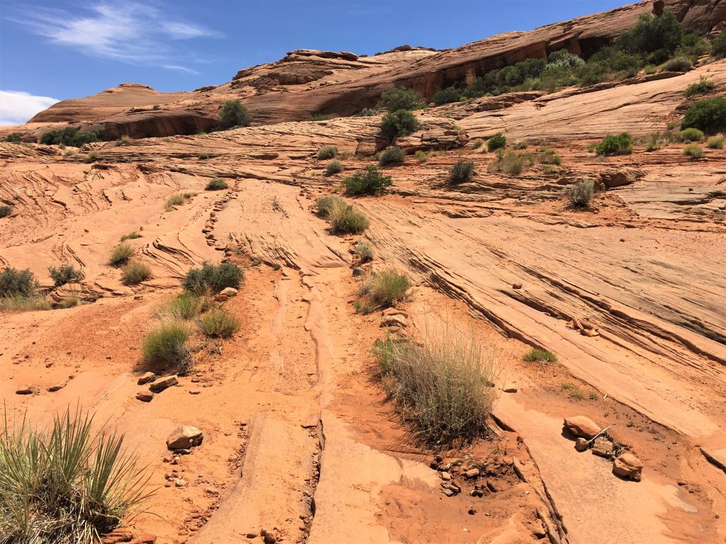
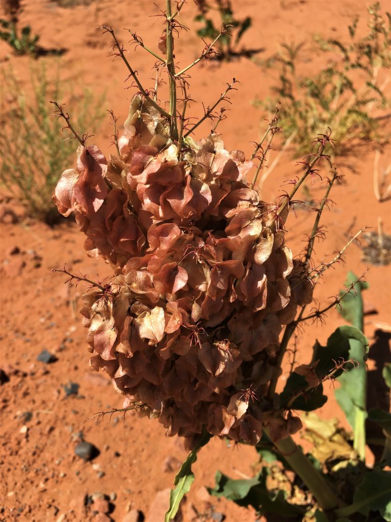
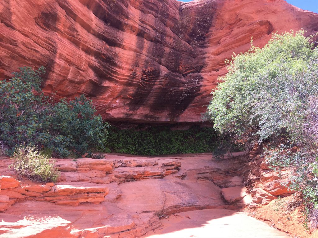
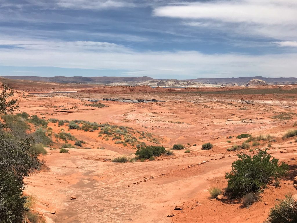
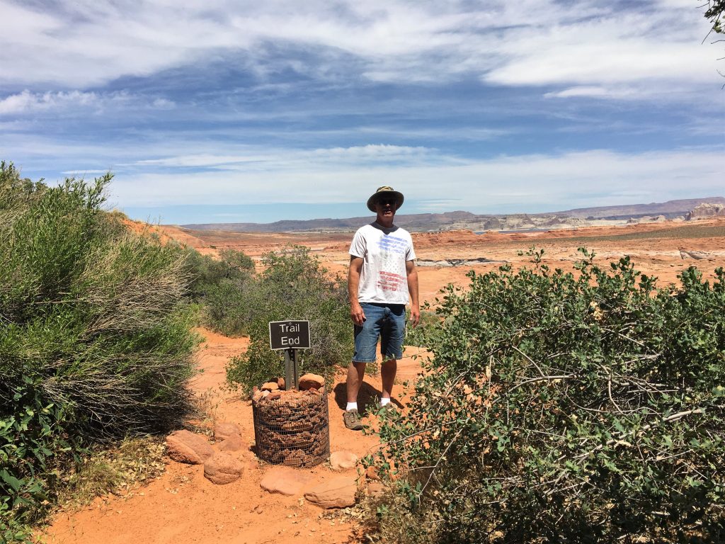
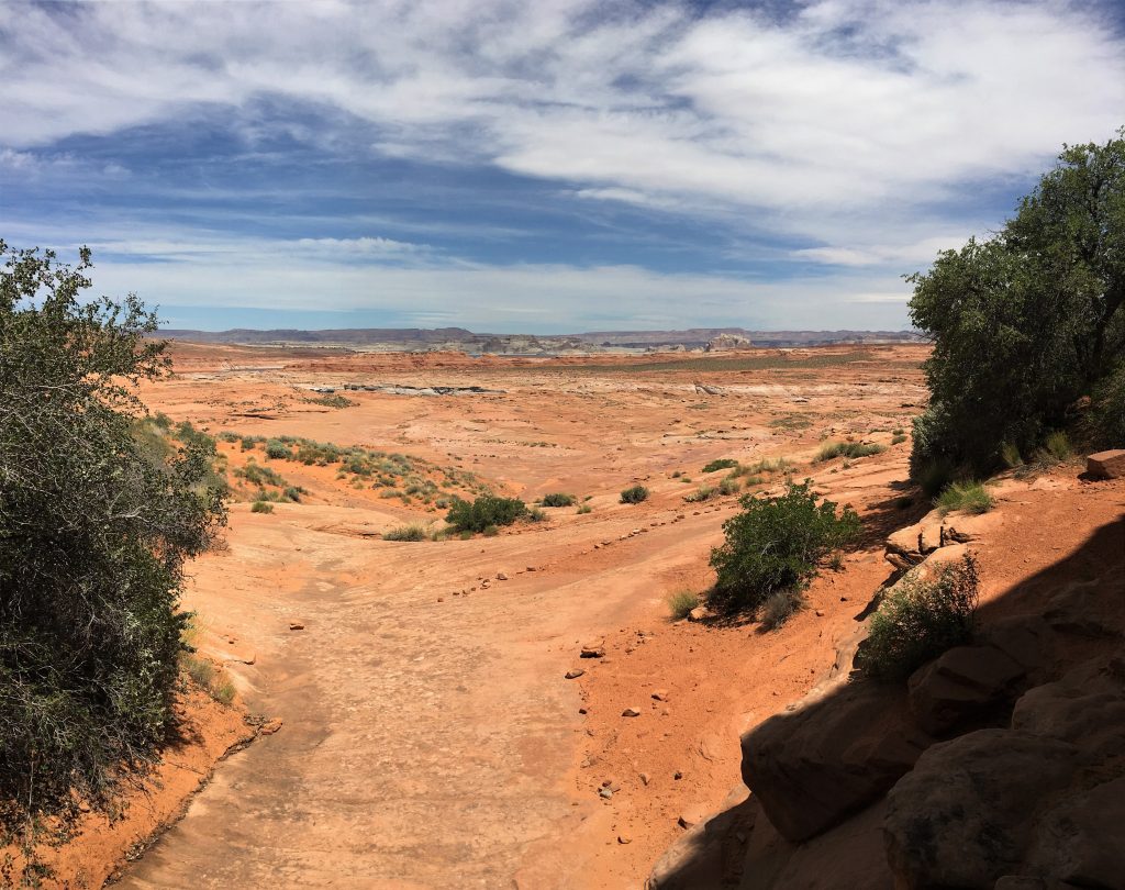
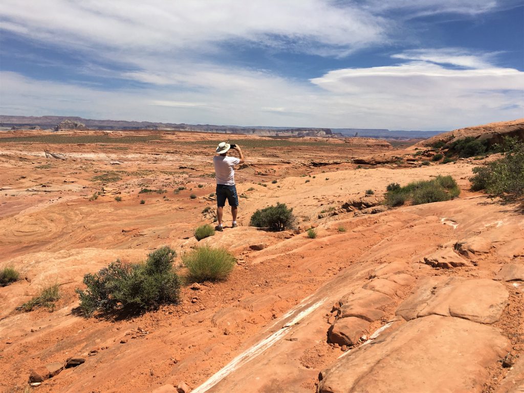
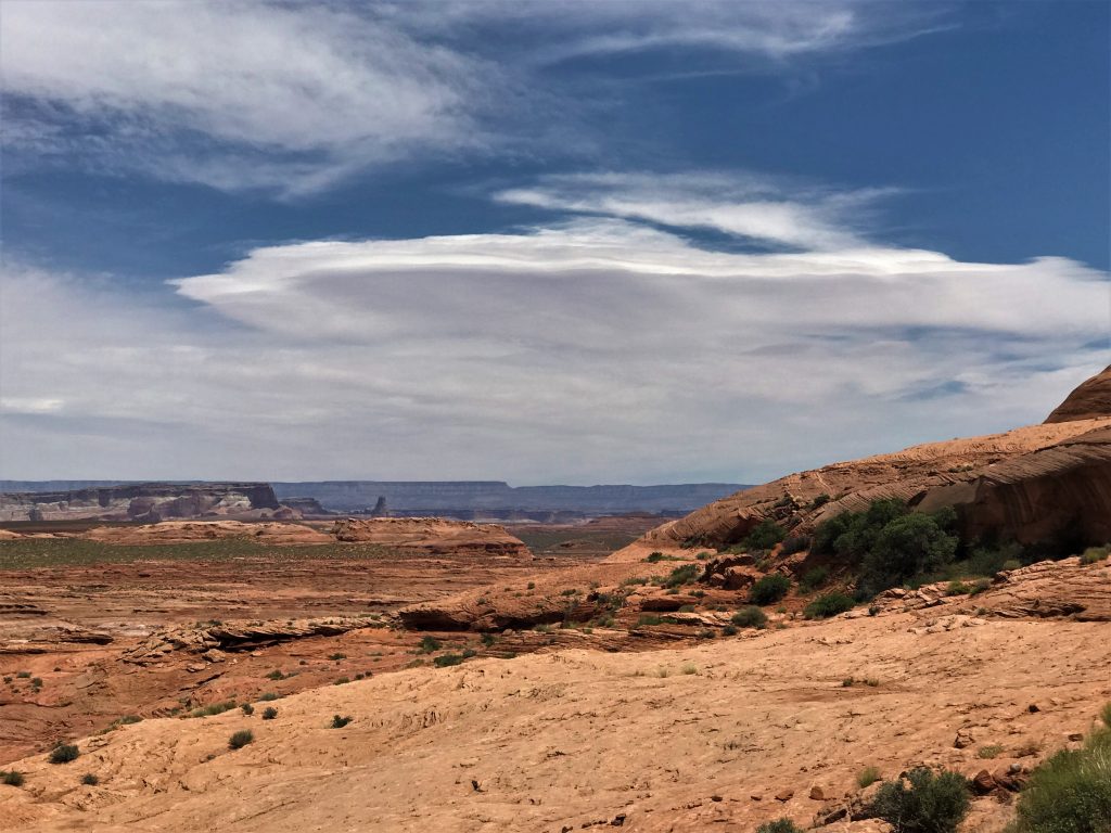
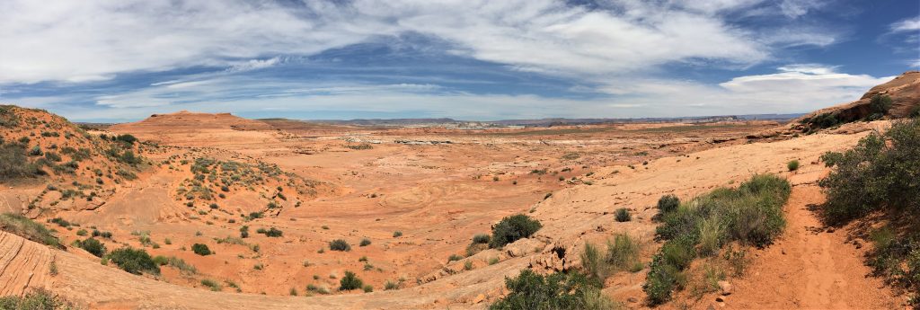
Blaine asked me this week why I’ve been taking so many panos.
It’s because everything is so open! You have to take a pano in order to take it all in!
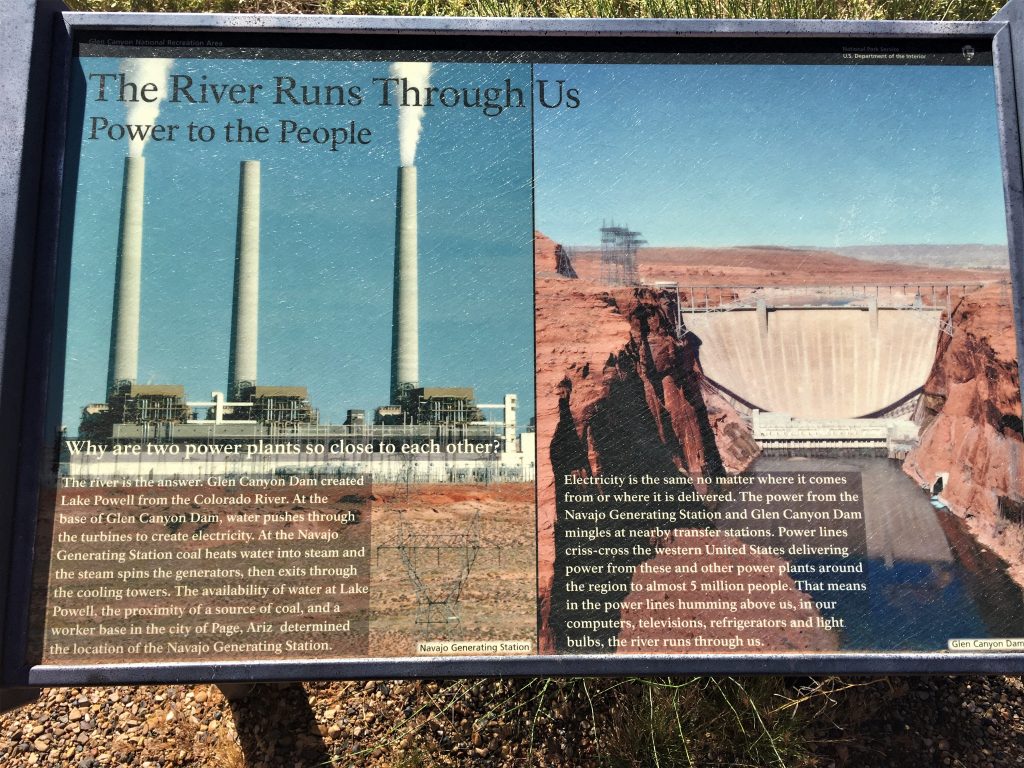
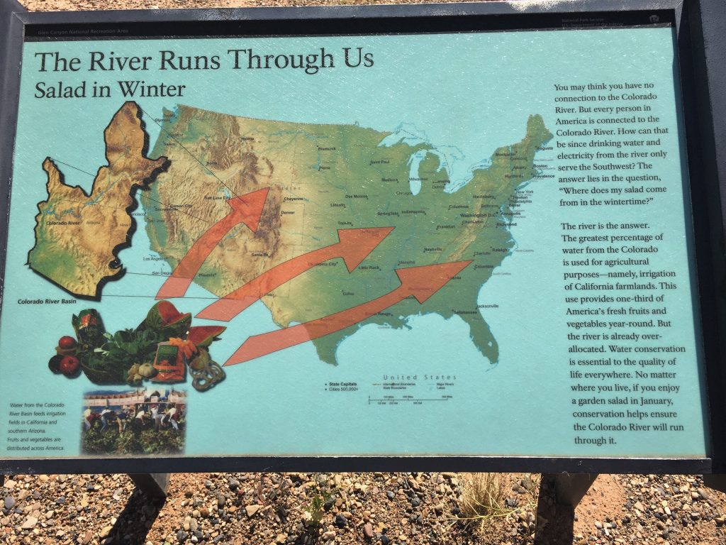
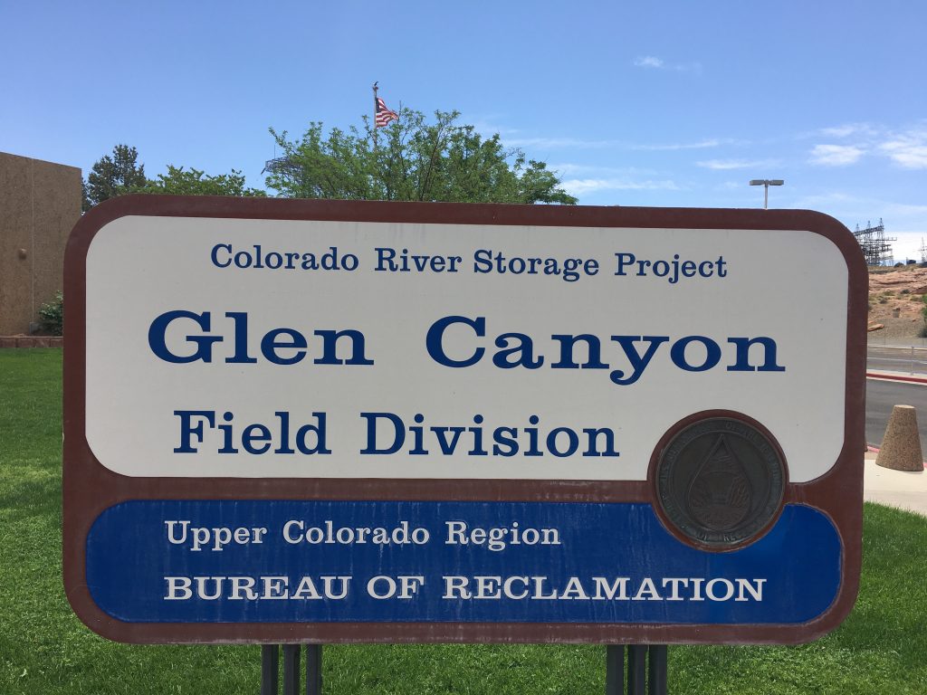
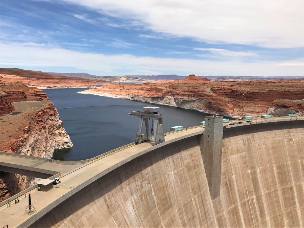
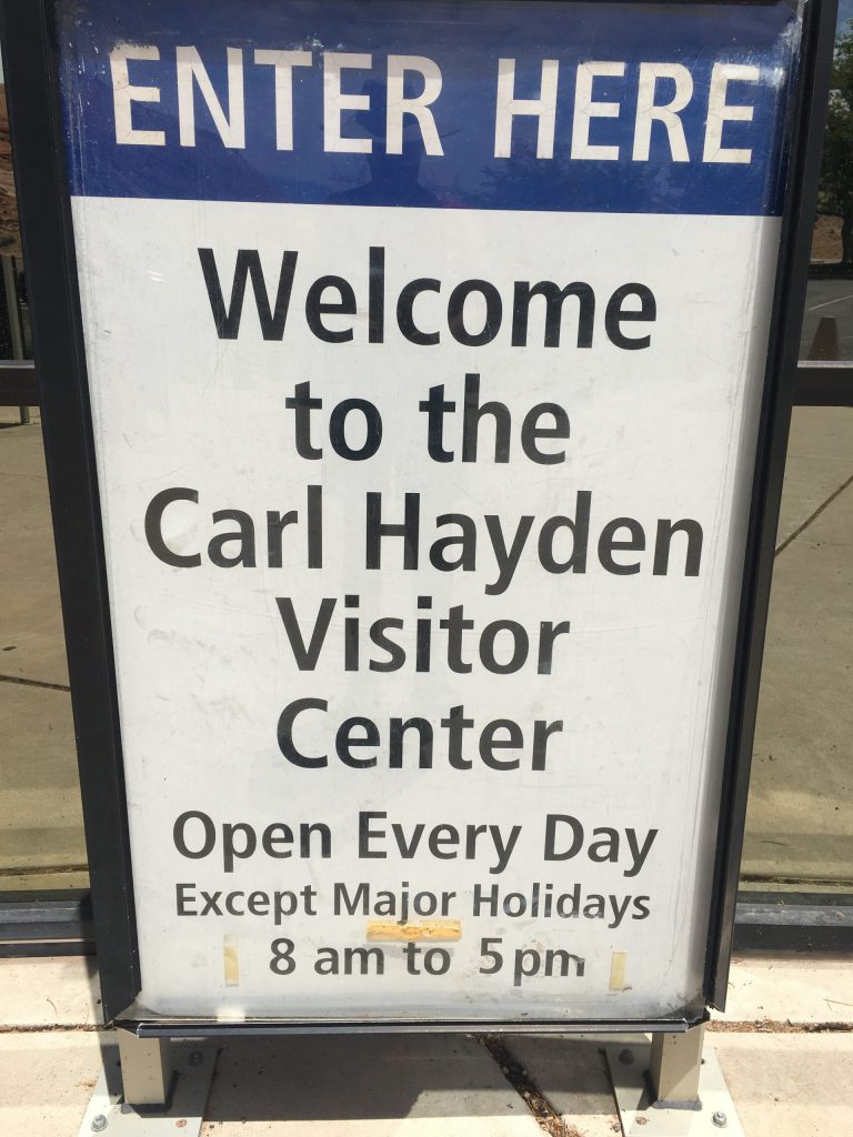
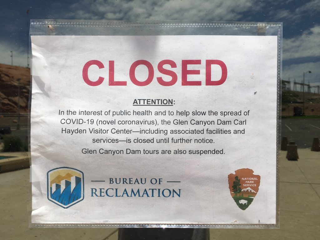
Lunchtime found us over at the dam Visitor Center (and no, I’m not swearing!). We found a bench in the shade of the building and ate, then looked around a bit. Of course, the Visitor Center wasn’t open, but there were a few things outside. And now that we’re visiting here, I’ll take this time to fill you in on some dam history. (Again. Not swearing!) 😊
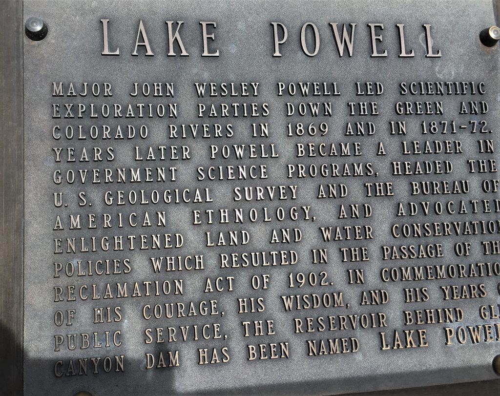
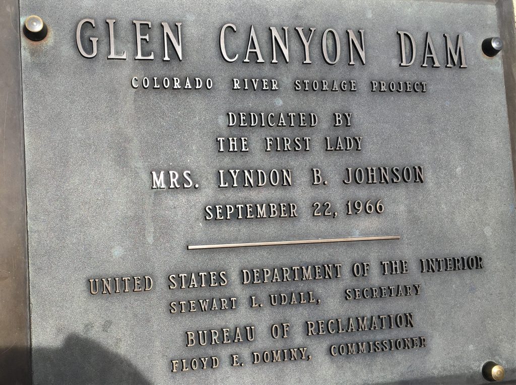
The following information was taken from usbr.gov:
The first dynamite blast in Glen Canyon occurred on October 15, 1956 when President Dwight D. Eisenhower pressed a telegraph key from Washington D.C. to set off the explosion signaling the beginning of construction.
In order to construct the dam, the Colorado River had to be channeled around the site. A coffer, or temporary dam, was constructed upstream of the dam site to redirect the river through two, 3000 foot-long, 45 foot diameter diversion tunnels dug through the walls on each side of the canyon. The material excavated from the tunnels was used to make the coffer dam. With the river diverted, crews began work to excavate down 137 feet to the canyon’s bedrock for the dam’s foundation, and concrete placement began in June 1960. The concrete was transported in 24-ton capacity buckets via an aerial tramway strung across the canyon from a concrete mixing plant constructed nearby.
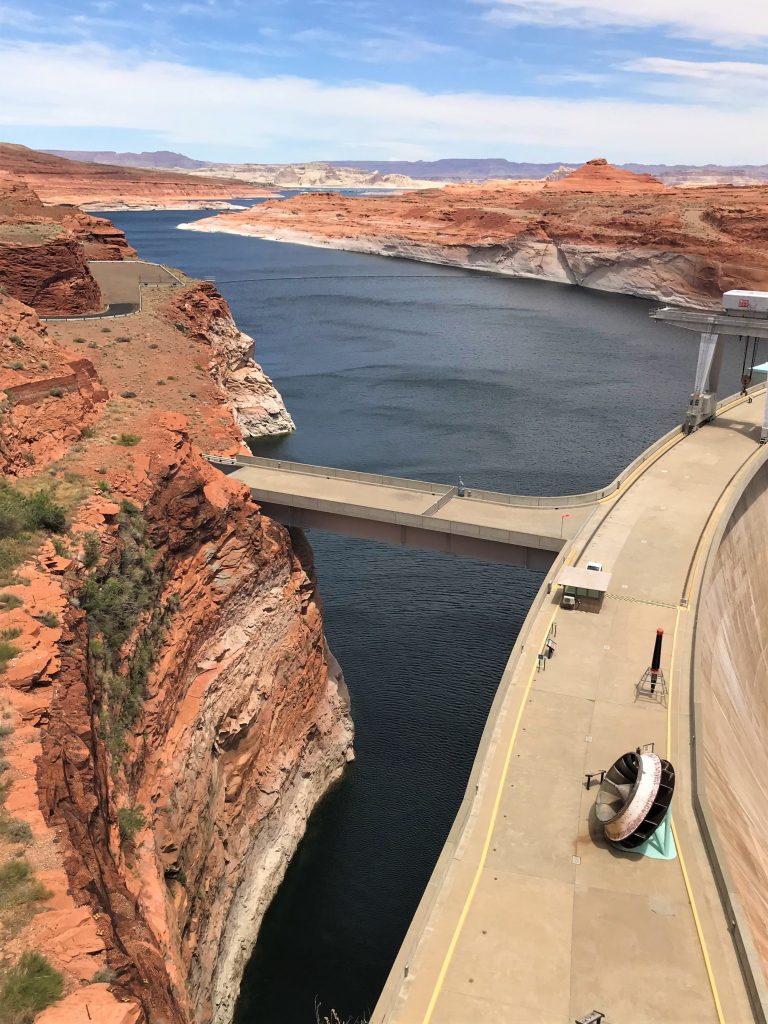
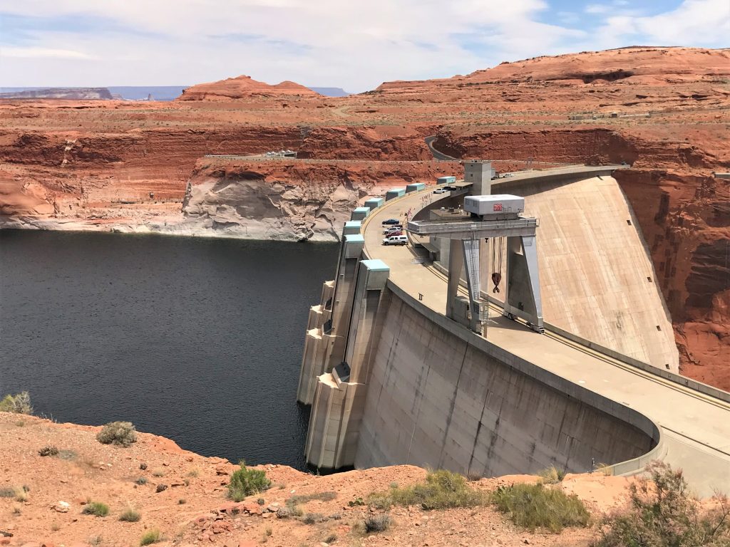
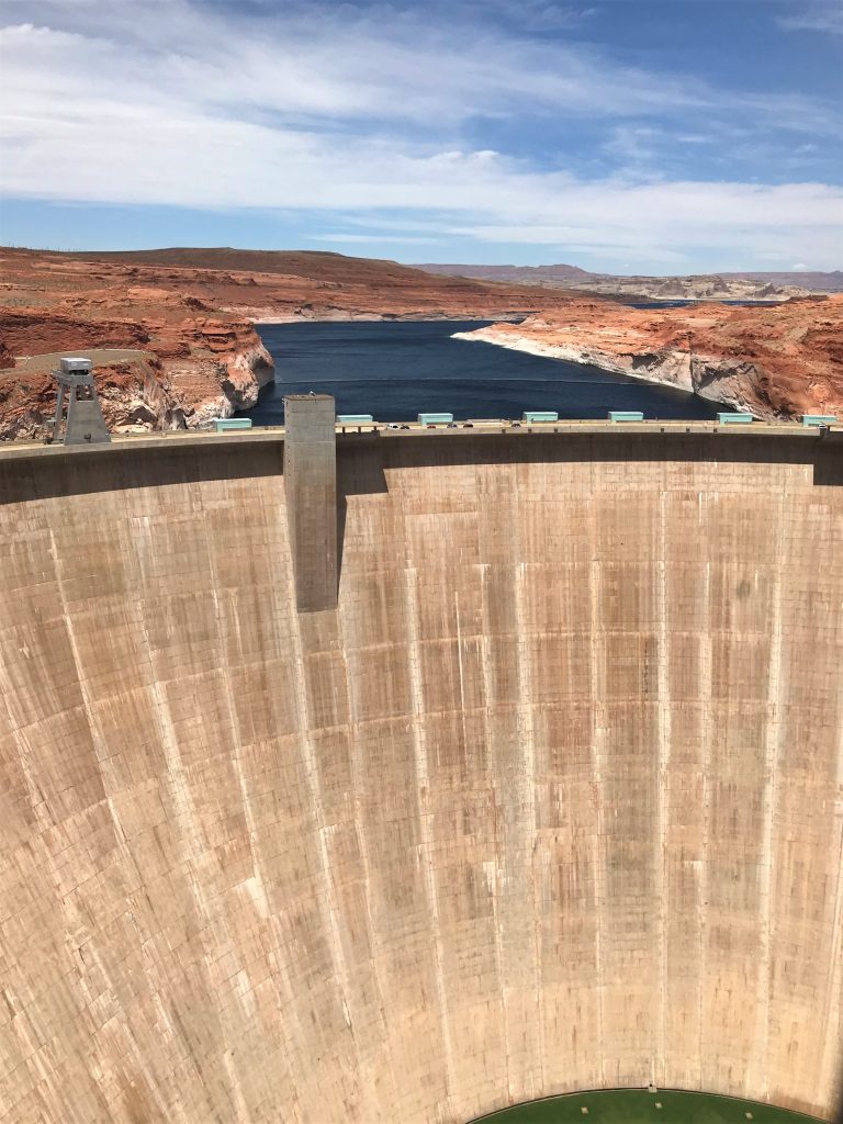
Construction continued 24 hours a day until on September 13, 1963, the last of over 400,000 buckets of concrete was placed. Glen Canyon Dam emerged from bedrock incrementally, as a series of blocks seven and a half feet high and up to 60 feet wide and 210 feet long, reaching a full height of 710 feet (Hoover Dam is the largest at 726’). Prior to reaching completion, Glen Canyon Dam began impounding water in March 1963 when the diversion tunnels were closed and Lake Powell was born. Due to the vast capacity of the reservoir, it took 17 years for Lake Powell to completely fill for the first time. On June 22, 1980, Lake Powell reached elevation 3,700 feet, with a total capacity of over 26 million acre-feet.
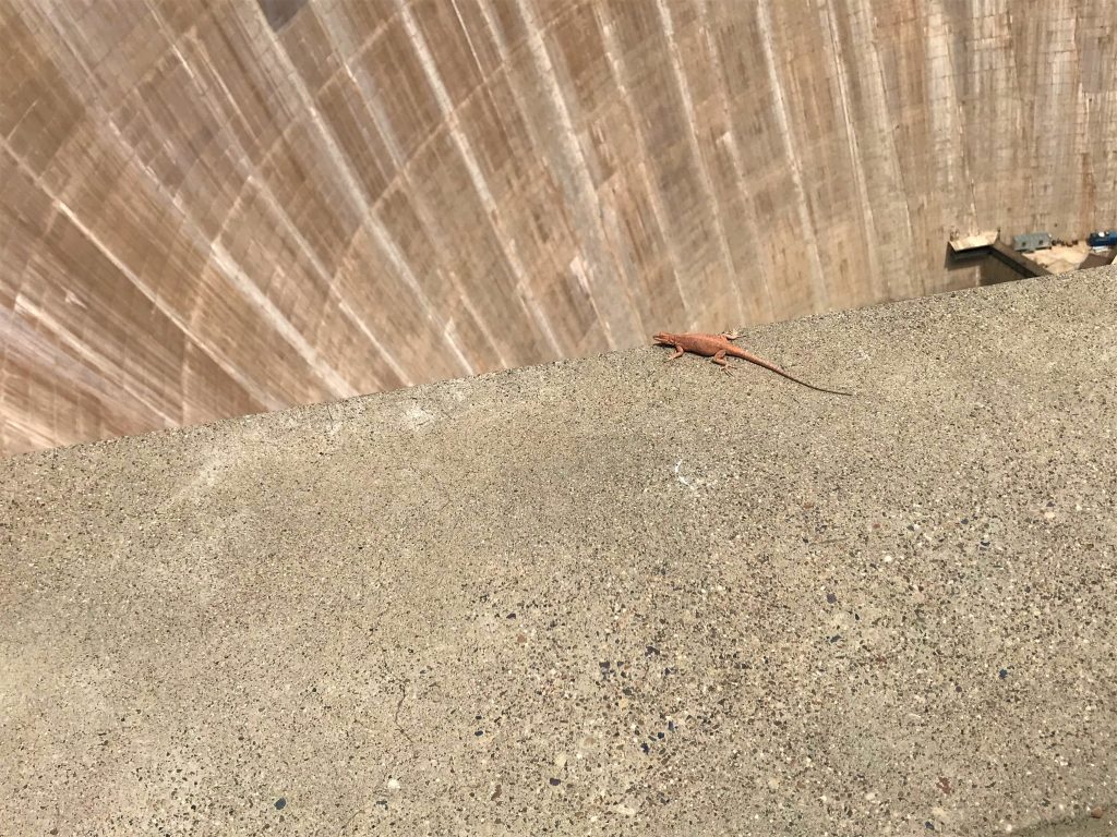
Glen Canyon Dam was constructed in 26 separate vertical blocks by placing successive 7.5-foot layers known as lifts on top of each other. You can still see the faint horizontal lines between each layer. The first concrete was placed in June 1960, and the dam was topped out in September 1963. An old photo shows the dam being constructed.
In 1964, the American Society of Civil Engineers voted Glen Canyon Dam the outstanding engineering achievement of the year. Total cost of the Glen Canyon Project, including the dam, power plant, access roads, bridge and facilities in the town of Page, Arizona, was about $272 million. Most of the money is being repaid, amortized over a period of years at interest, to the United States Treasury through the sale of electricity.
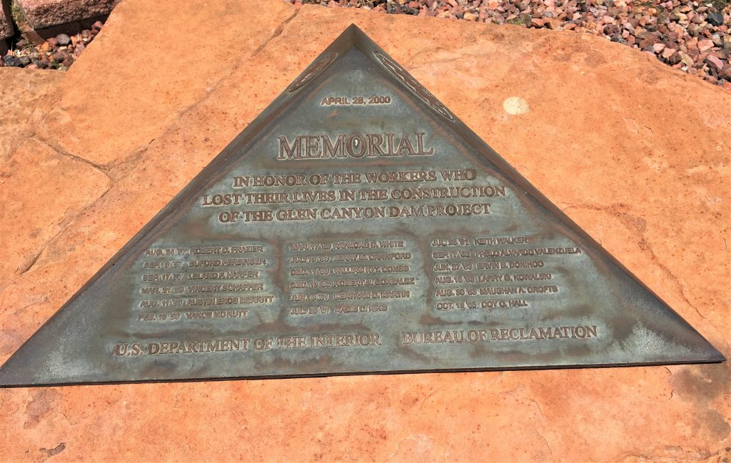
18 men died during construction and all the bodies were recovered.
They also provided the following quick table of facts, for those of you who are more interested in that. 😊
| Glen Canyon Dam | |
| Type | Concrete arch |
| Construction period | 1957-1964 |
| Prime contractor | Merrit-Chapman & Scott |
| Height above bedrock | 710 feet (216 meters) |
| Height above original river channel | 583 feet (178 meters) |
| Crest length (arc at axis of dam) | 1,560 feet (475 meters) |
| Volume of concrete Dam only | 4,901,000 cubic yards (3,750,000 cubic meters) |
| Volume of concrete Powerplant only | 469,000 cubic yards (359,000 cubic meters) |
| Total Volume of concrete | 5,370,000 (4,110,000 cubic meters) |
| Capacity of concrete bucket | 24 tons (22 metric tons) |
| Number of bucks of concrete | 400,000 approximately |
| Cost of dam, powerplant & appurtenant structures | $245,000,000 |
| Glen Canyon Bridge | |
| Type | Steel arch |
| Construction Period | 1957-1959 |
| Height above river | 700 feet (213 meters) |
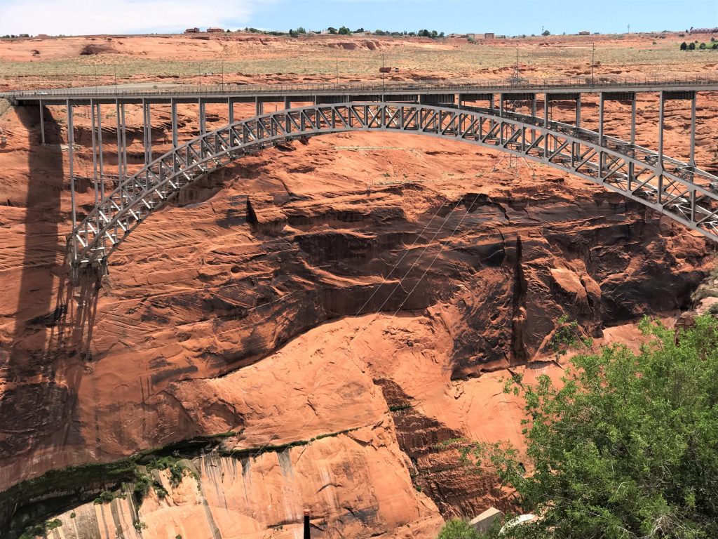
| Span of bridge arch | 1,028 feet (313.3 meters) |
| Length of deck | 1,271 feet (387.4 meters) |
| Vertical rise of arch | 165 feet (50.3 meters) |
| Lake Powell | |
| Start of Storage | March 13, 1963 |
| Completion of initial filling | June 22, 1980 |
| Total capacity at full elevation 3,700 | 26,215,000 acre-feet (32,336 million cubic meters) |
| Surface area when full | 266 miles (68,900 hectares) |
| Length of lake | 186 miles (299 kilometers) |
| Miles of shoreline | 1,960 miles (3,150 kilometers) |
| Depth of water at dam when full | 560 feet (171 meters) |
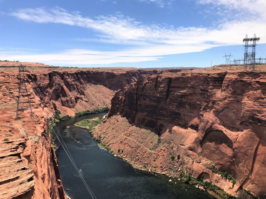
The environmental changes brought about by the dam are remarkable. The river itself has changed from a muddy brown color to a clear crystal blue as the sediments it carries are deposited behind the dam in Lake Powell. Erosion of river banks downstream from the dam has lessened considerably as spring floods are brought under control. Natural beaches and sandbars, once built up by deposited sediment , are washed away. River temperatures have stabilized at an annual average of about 50°F (10°C). These physical changes have brought about changes in flora and fauna also. Four species of fish native to the Colorado have become extinct, but at least 10 species of birds are now thriving where they barely survived before.
(I apologize! I forgot to note where this last paragraph came from!)
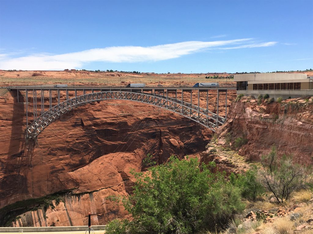
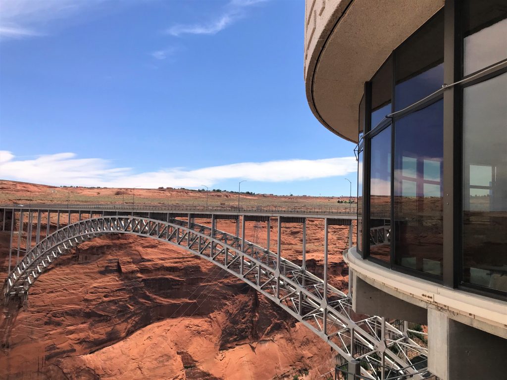
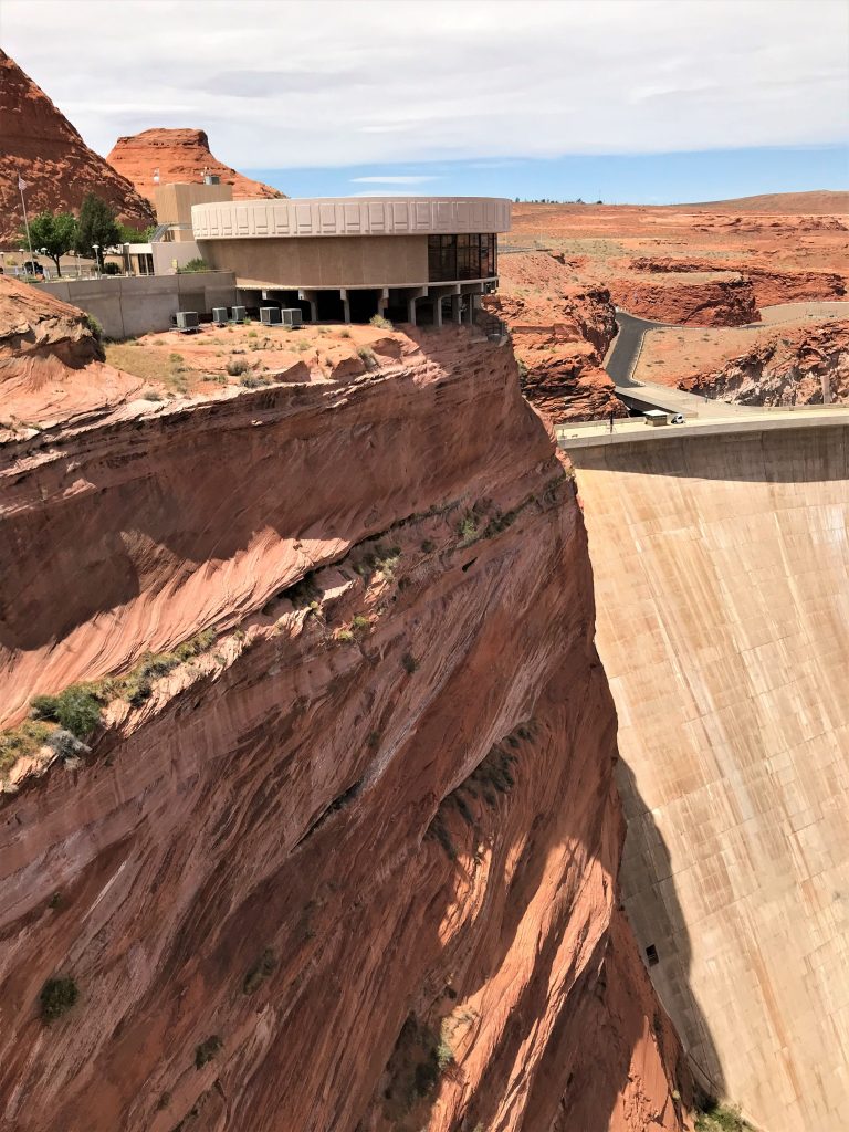
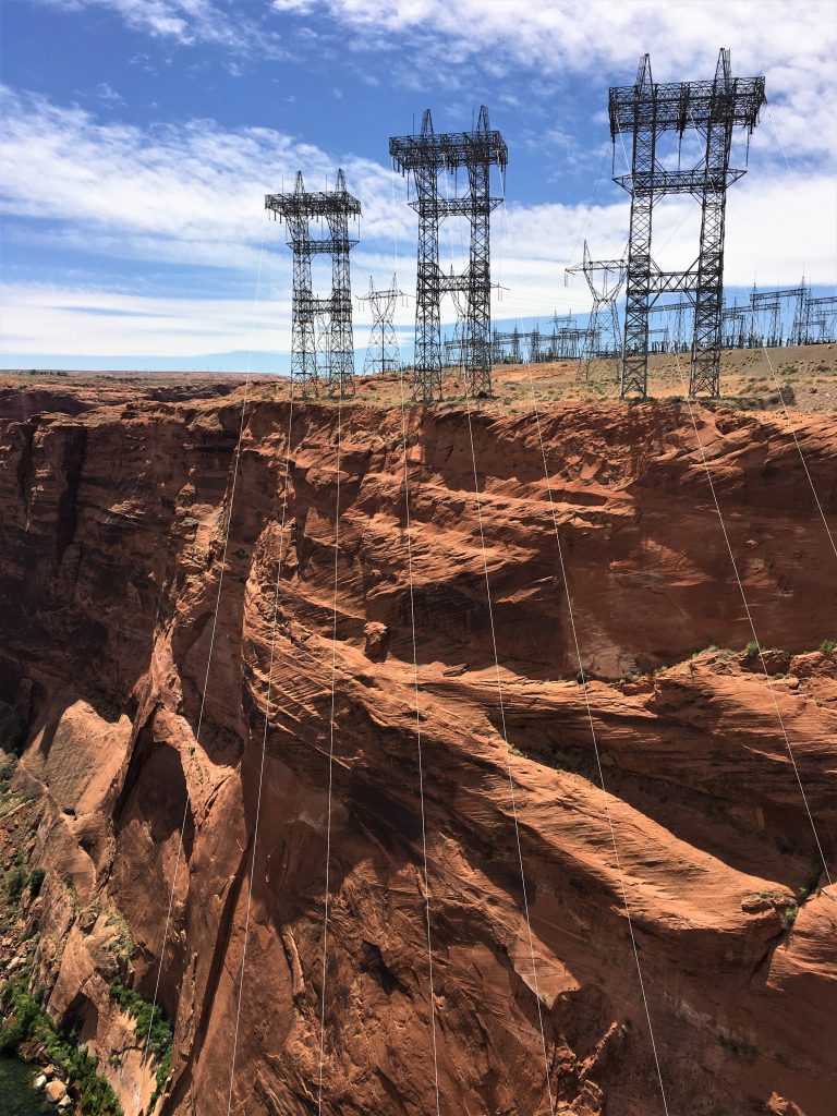
After lunch, we took the cooler back to the Jeep and walked up one side, crossed Route 89, and walked down the other side of the Glen Canyon bridge that goes alongside the dam and over the Colorado River 700-feet below. It’s a really long way down when you’re standing there looking at it! Construction information is in the table above.
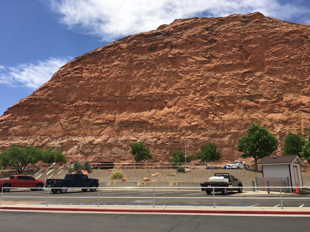
Look how they blasted away that mountain to make the road!
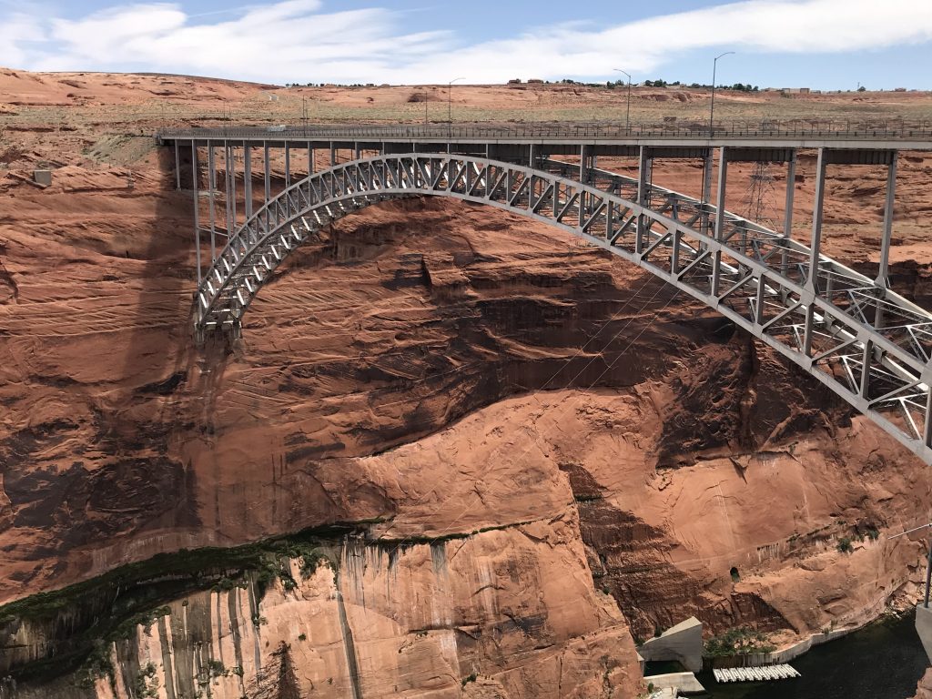
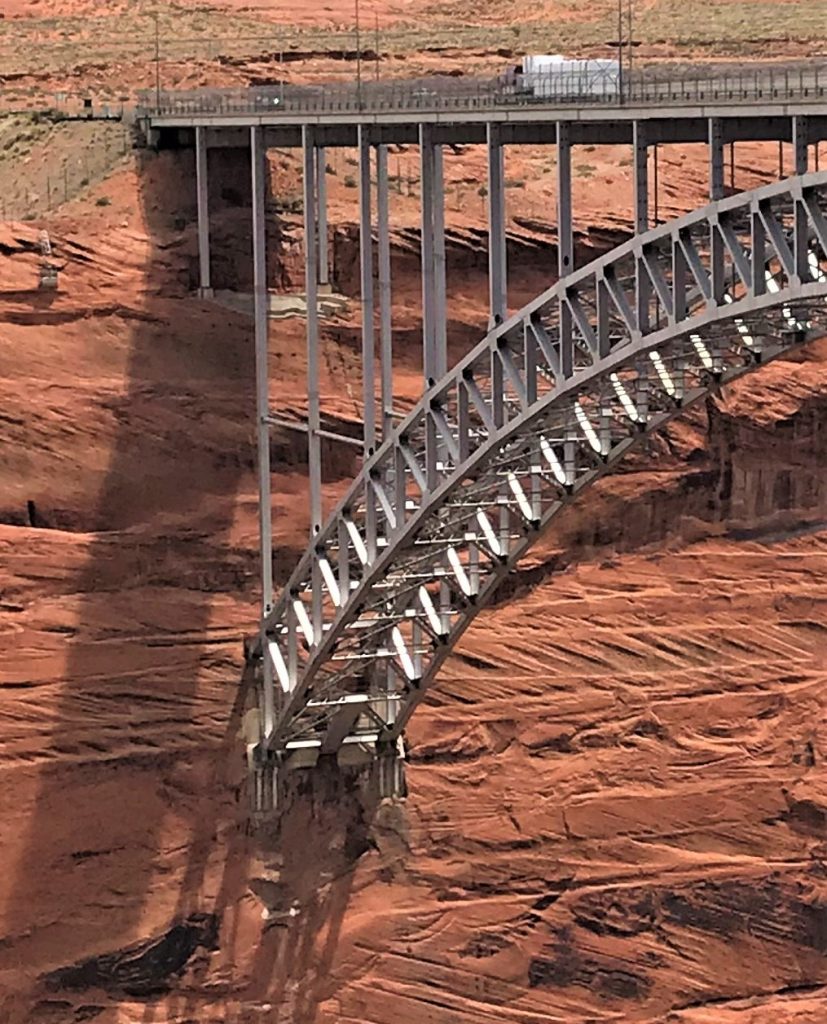
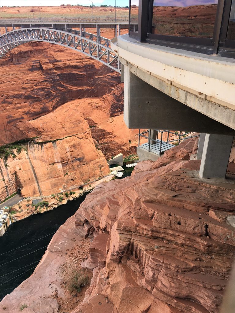
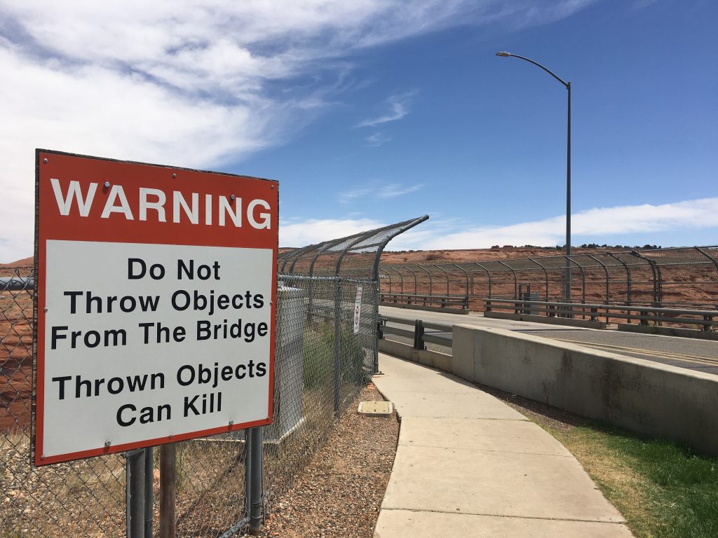
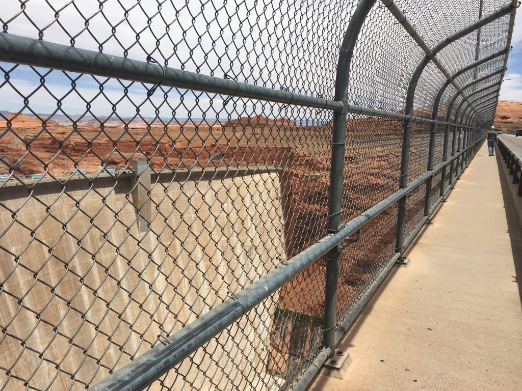
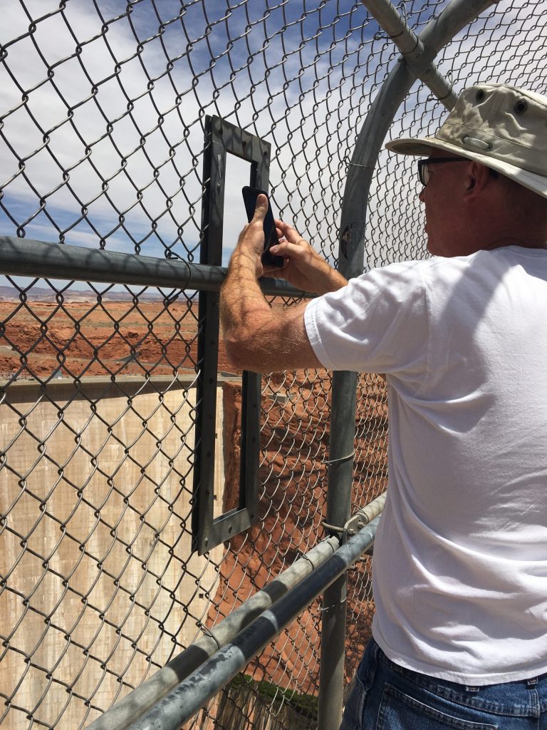
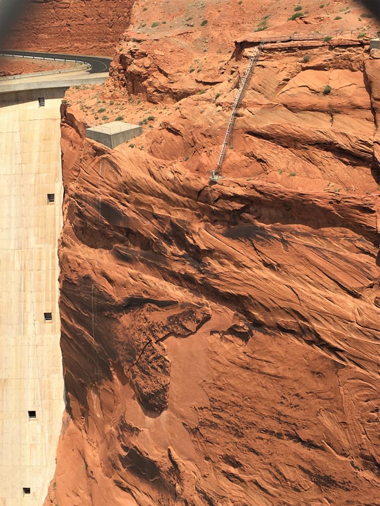
No worries, though. It has a sort of cage around it that’s supposed to keep the workers from falling.
No. Thank. You!
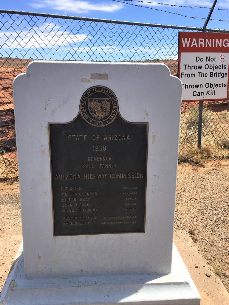
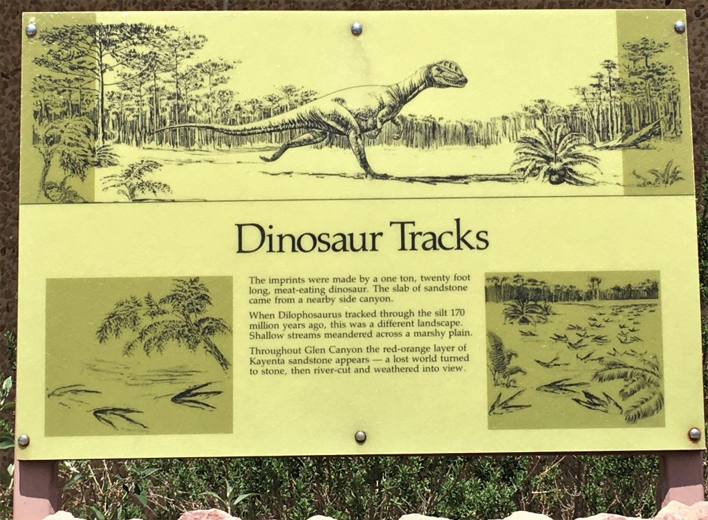
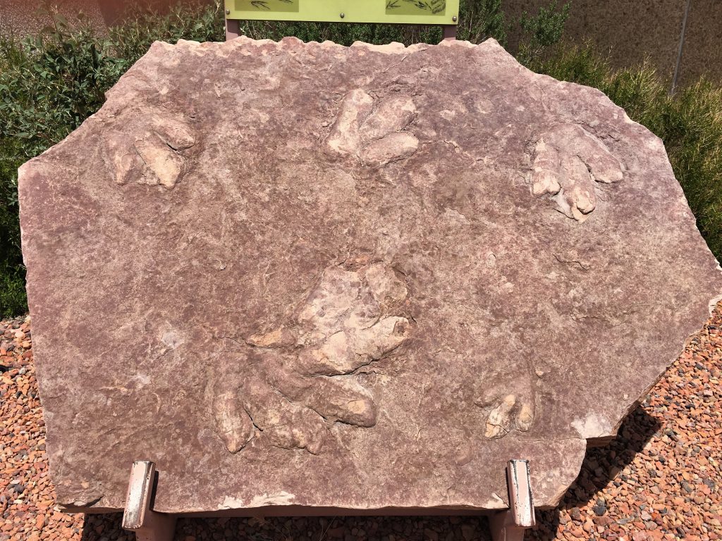
On our way back to the Jeep again, we passed the front of the Visitor Center and discovered some dinosaur footprints!
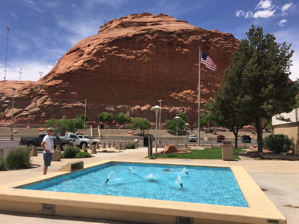
And a pool!
Oh wait. It’s just a fountain that wasn’t really fountaining very much. But I’ll bet when the VC is open and kids are around and it’s 110⁰ in the shade, it’s a pool. 😊
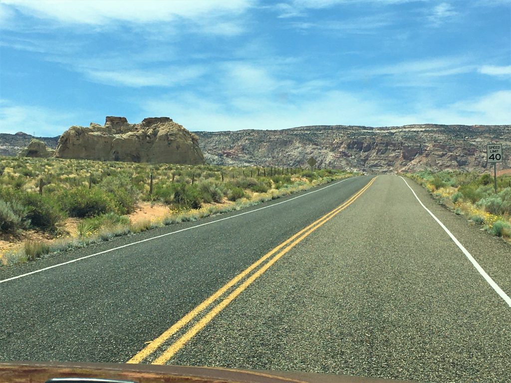
Lastly, we drove to another state in search of a short trail to an arch. We didn’t find it. But we drove some Jeep roads in search of, and that was fun. And it wasn’t that far of a drive. Just 15-20 minutes.
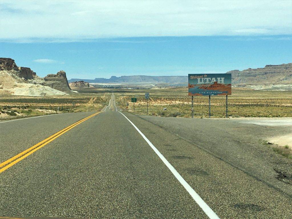
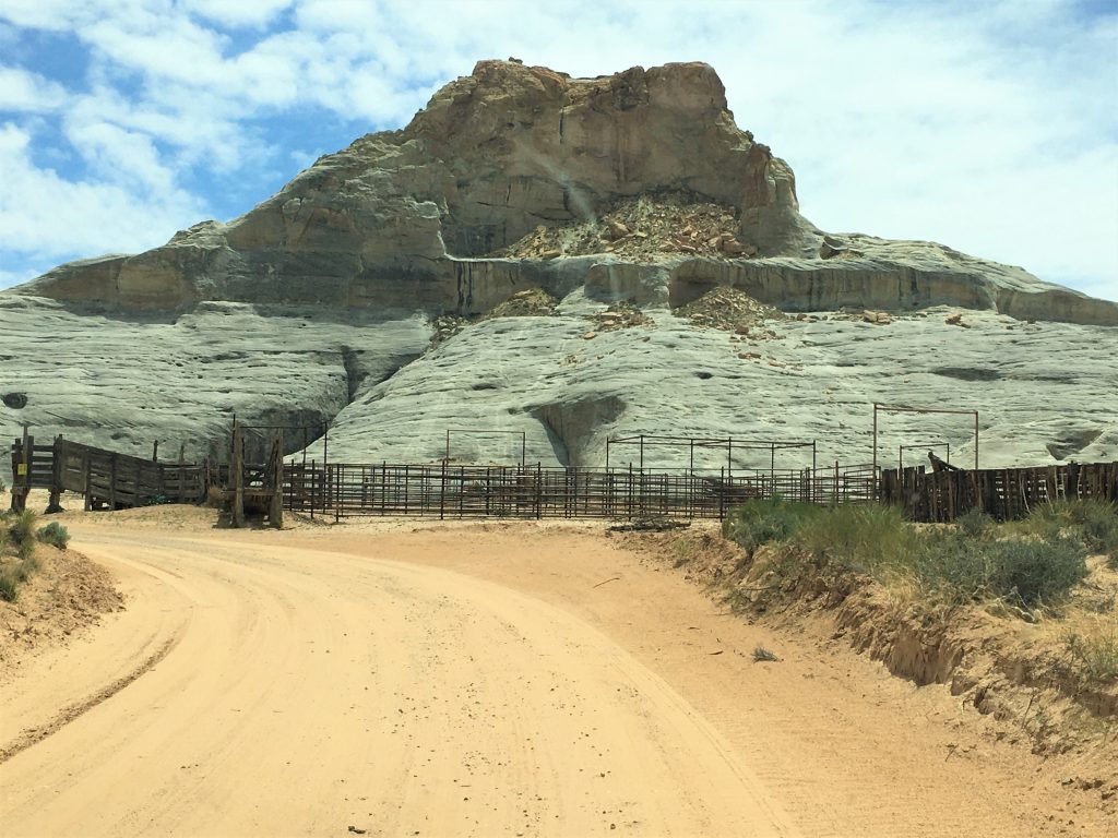
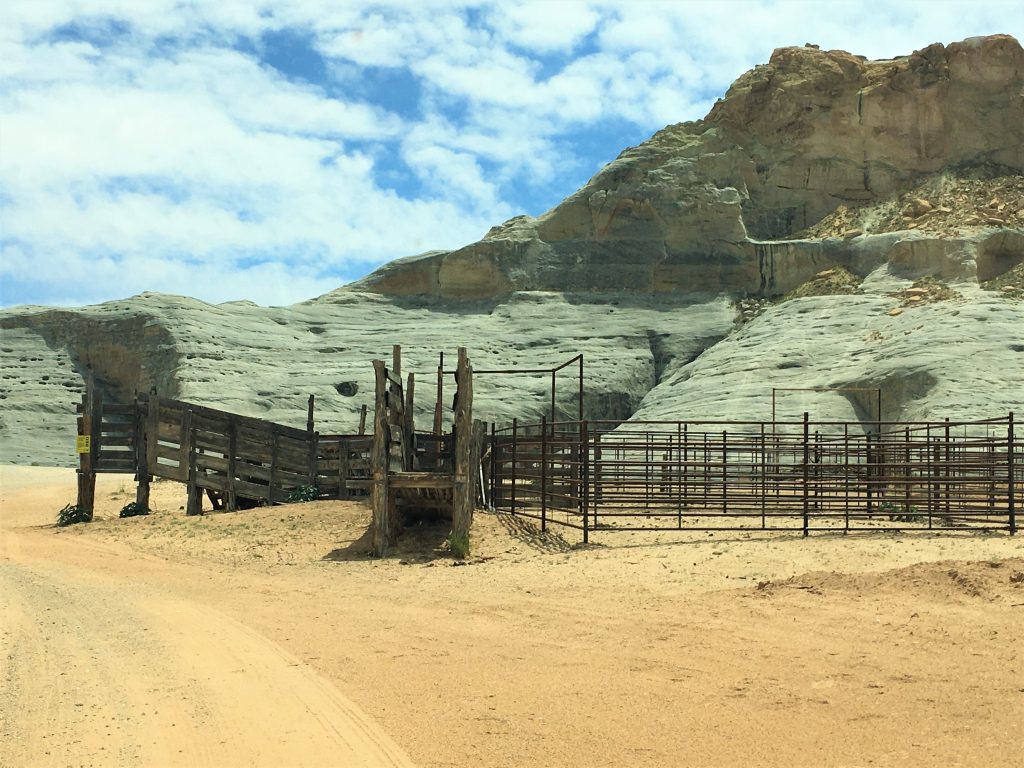
Don’t know if it get’s used anymore or not.
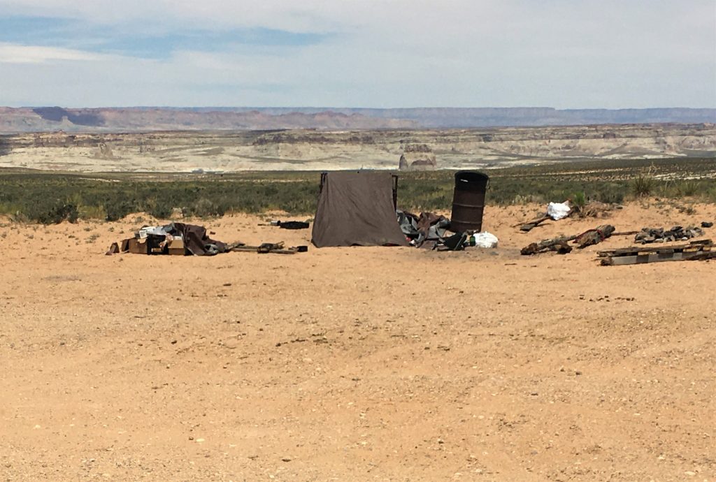
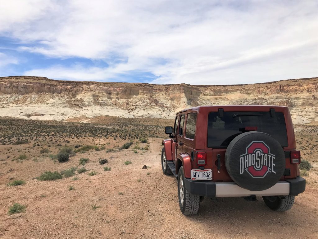
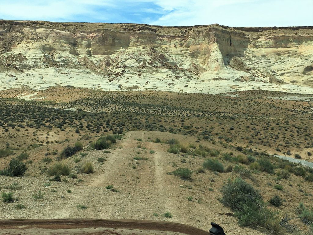
It was more suitable for ATVs than Jeeps. : )
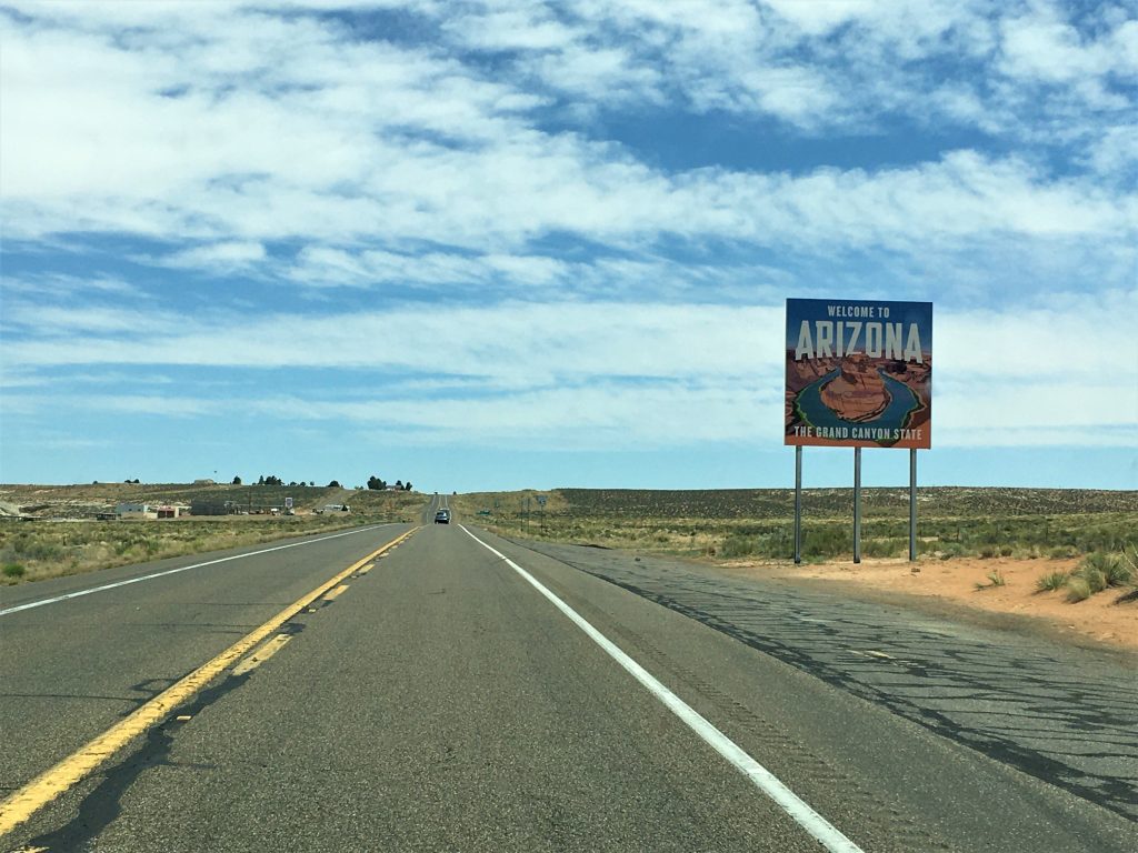
Then we went home.
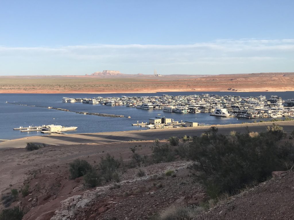
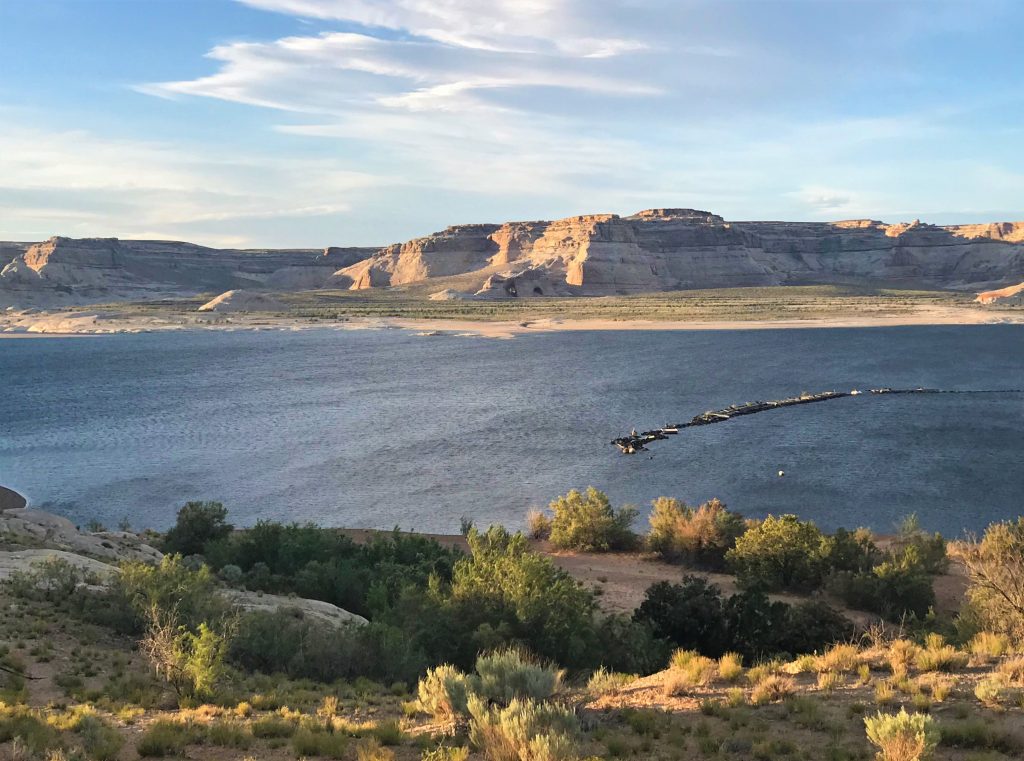
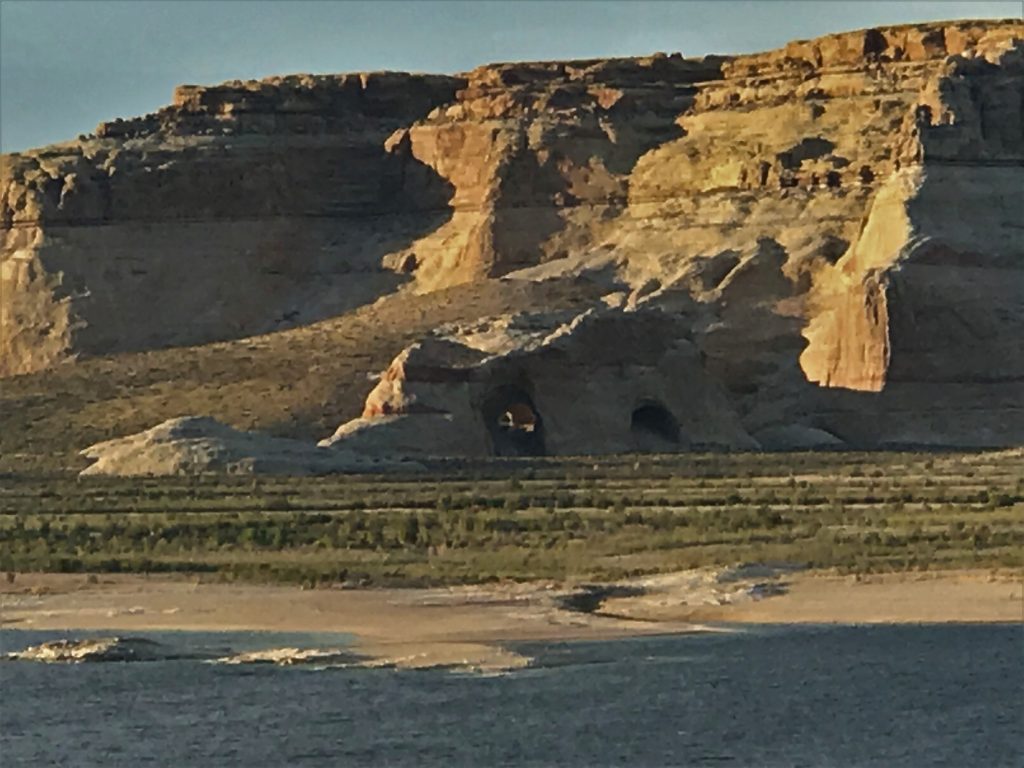
After dinner, Blaine talked me into a bike ride around the Park. It’s pretty flat and there are paved sidewalks with no one on them, so it was great! And we saw some wonderful things along the way.
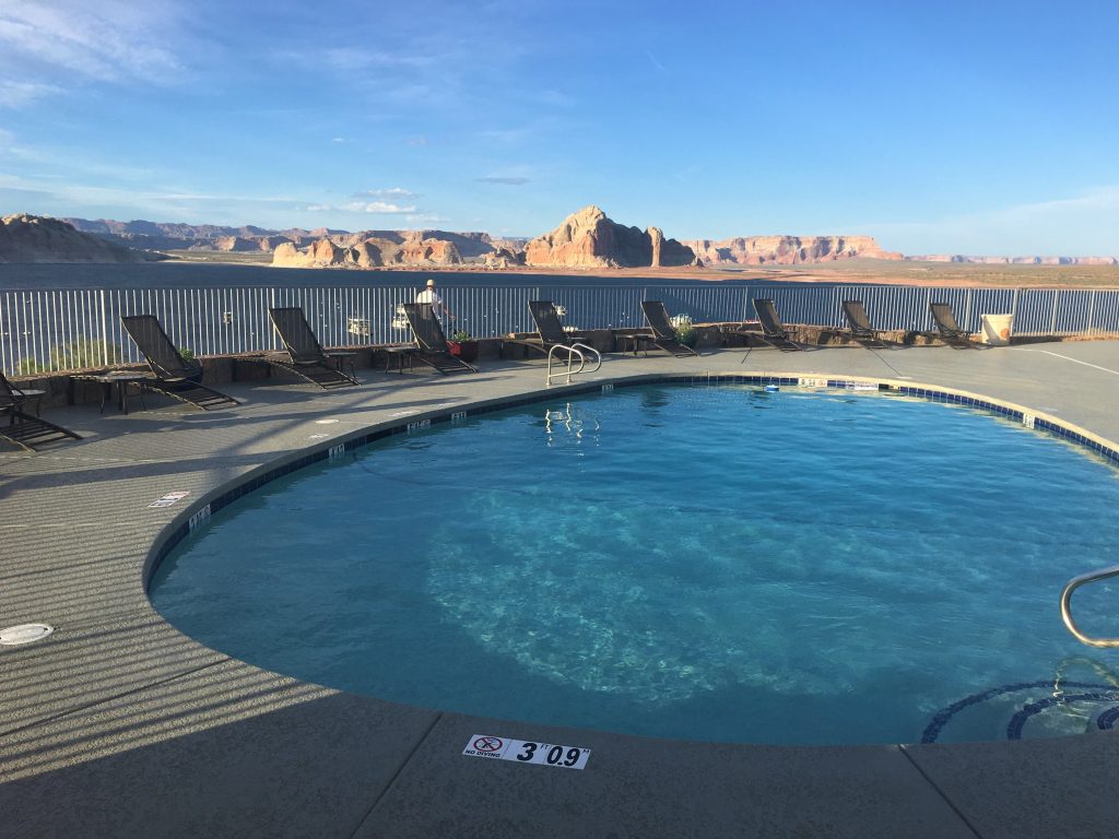
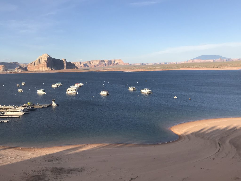
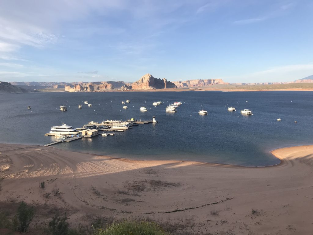
How do you like the view??
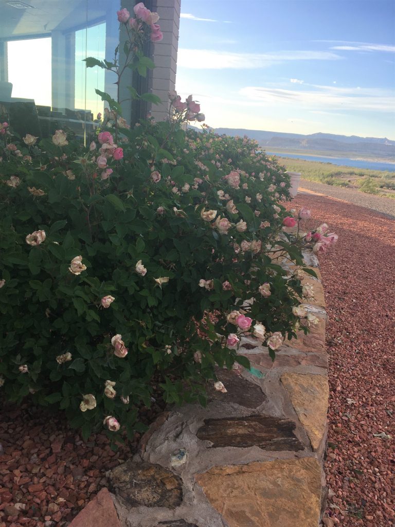
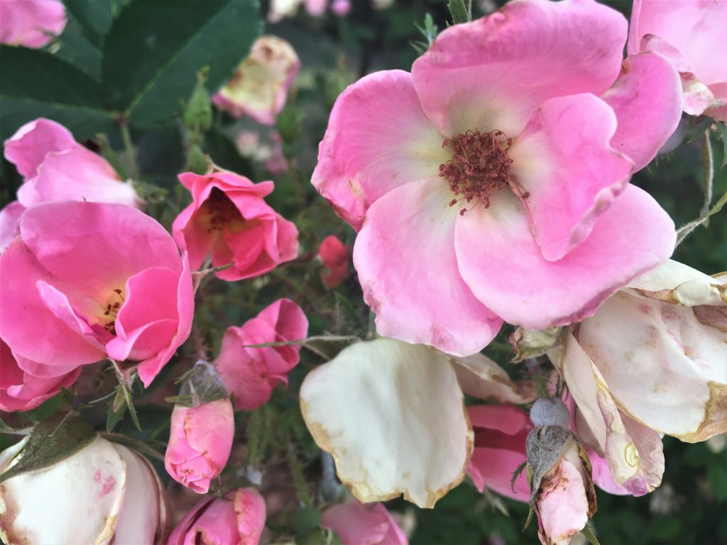
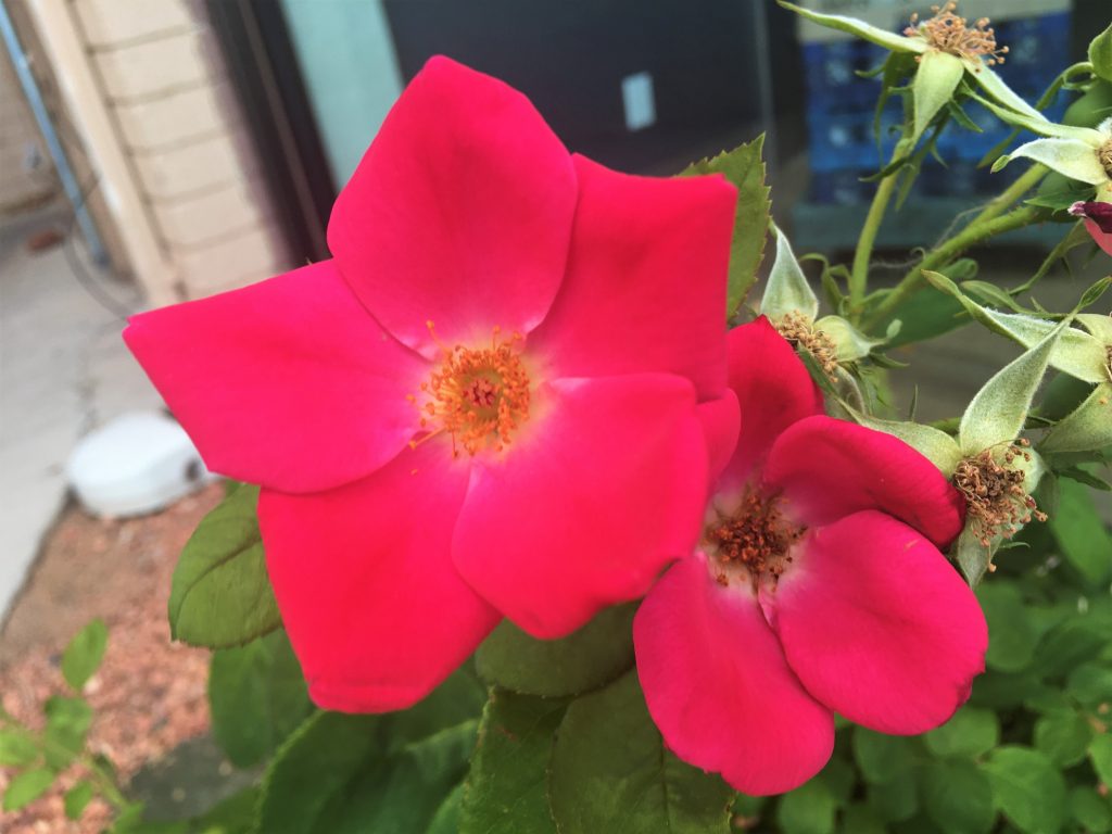
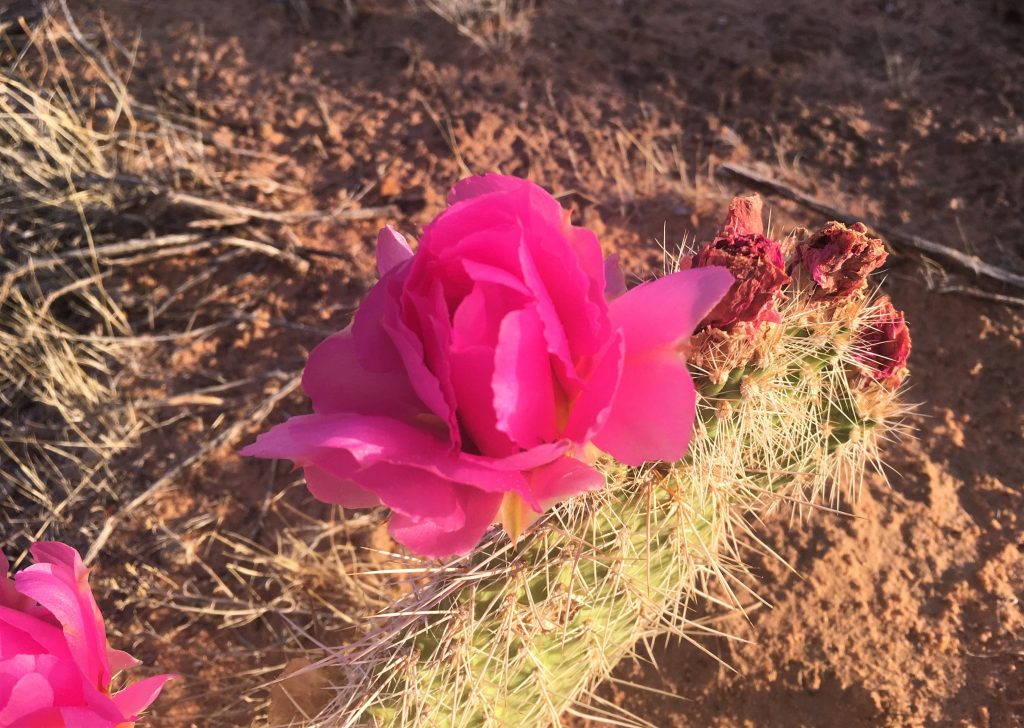
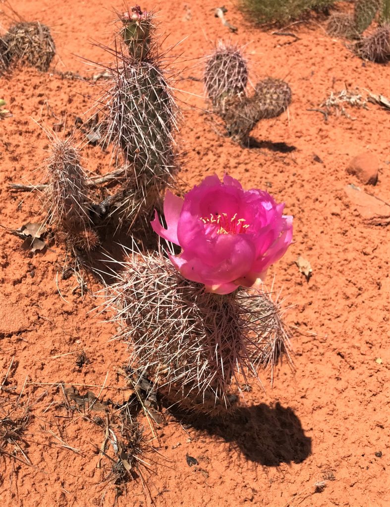
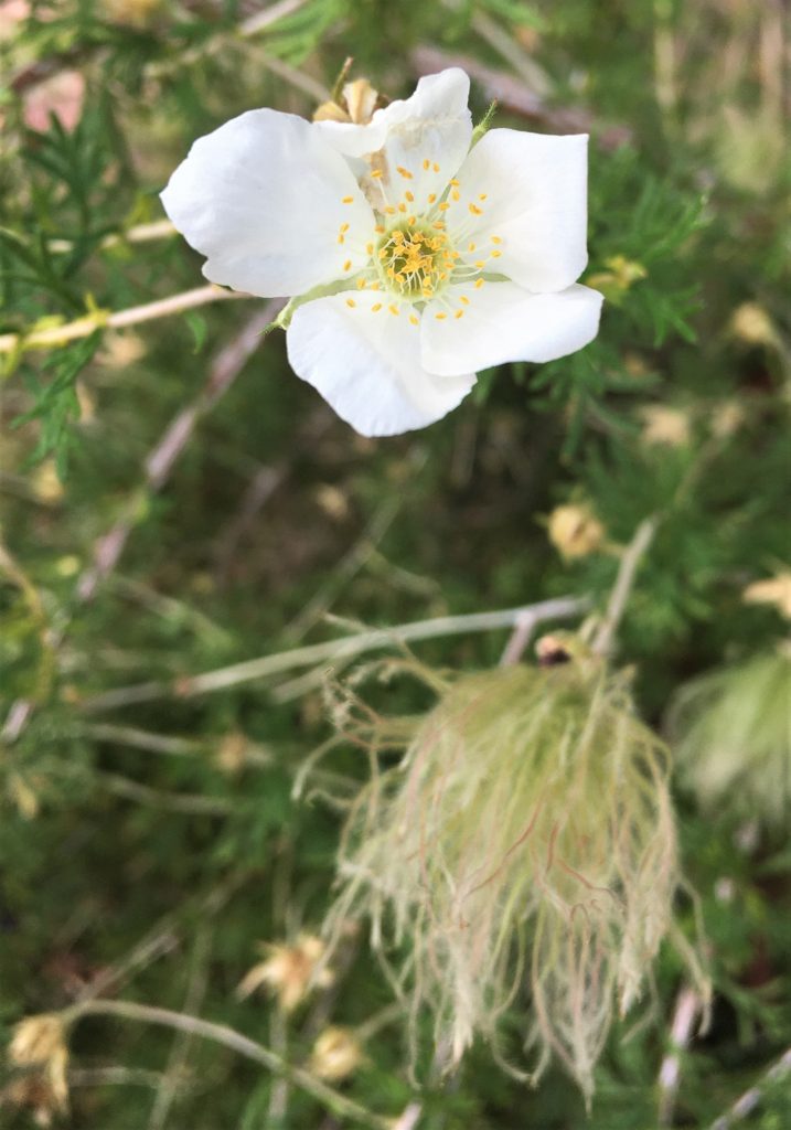
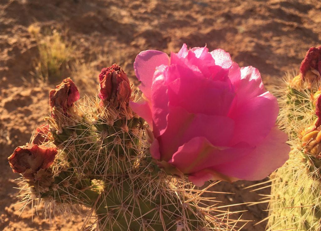
Must be a different species. Doesn’t that look like a rose??? So beautiful!
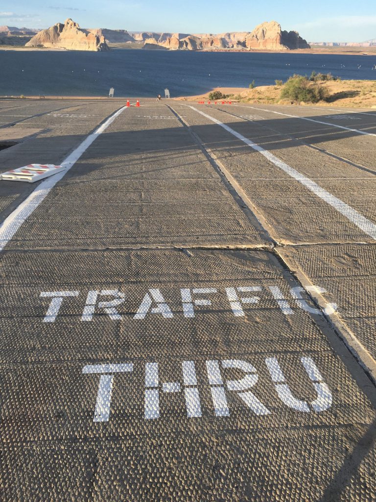
They won’t open the lake to boats until this weekend.
Believe it or not, it’s probably about a 1/4-mile to the water from here.
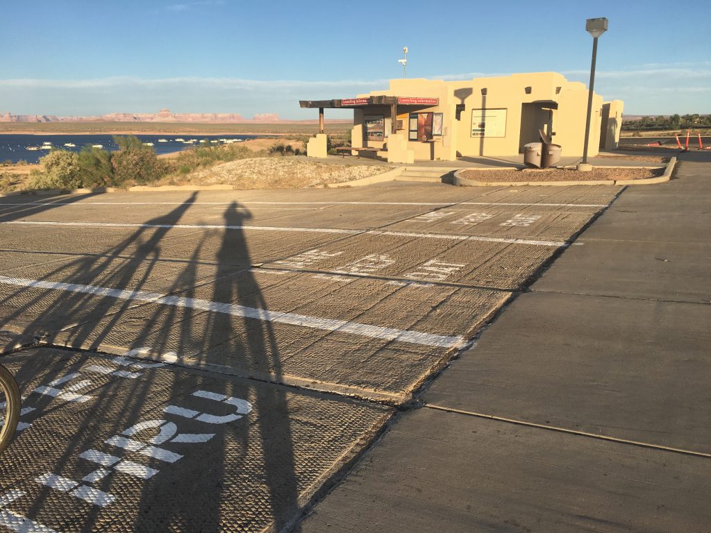
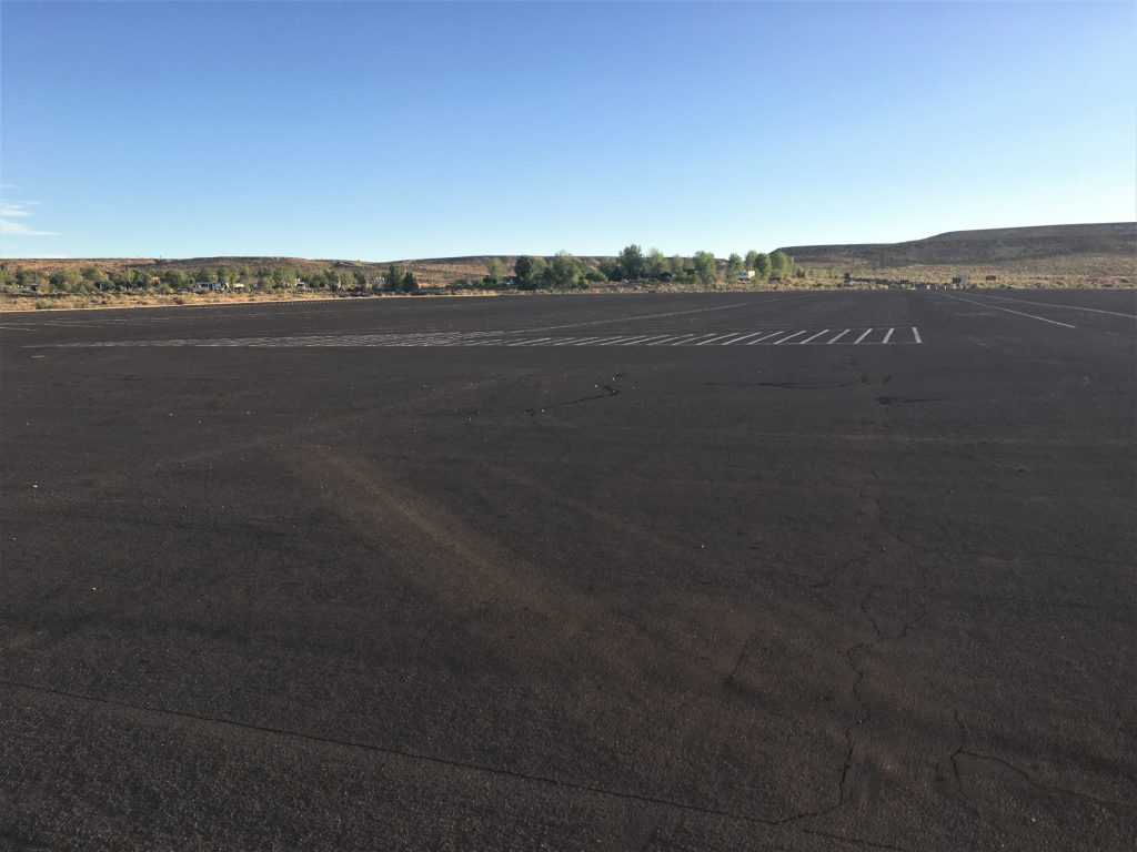
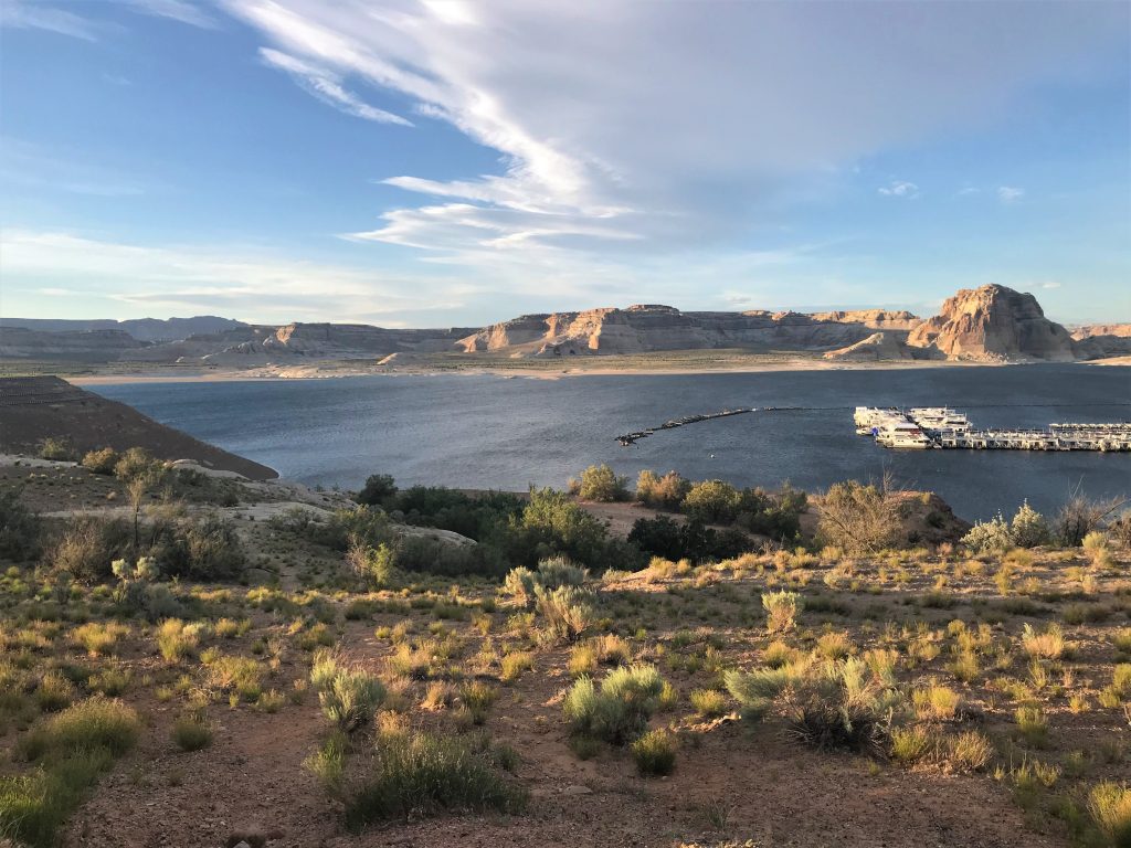
But I can’t look and stay on my bike,
so we stopped more often than Blaine probably wanted to. : )
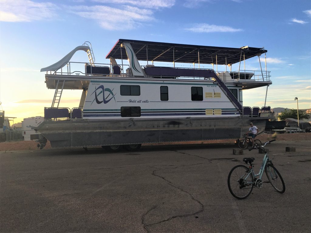
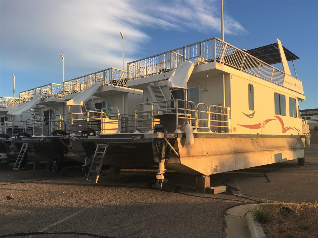
but it must be for a minimum of 4 days and it’ll cost you $1,329 – $4,399.
And that’s the off-peak prices.
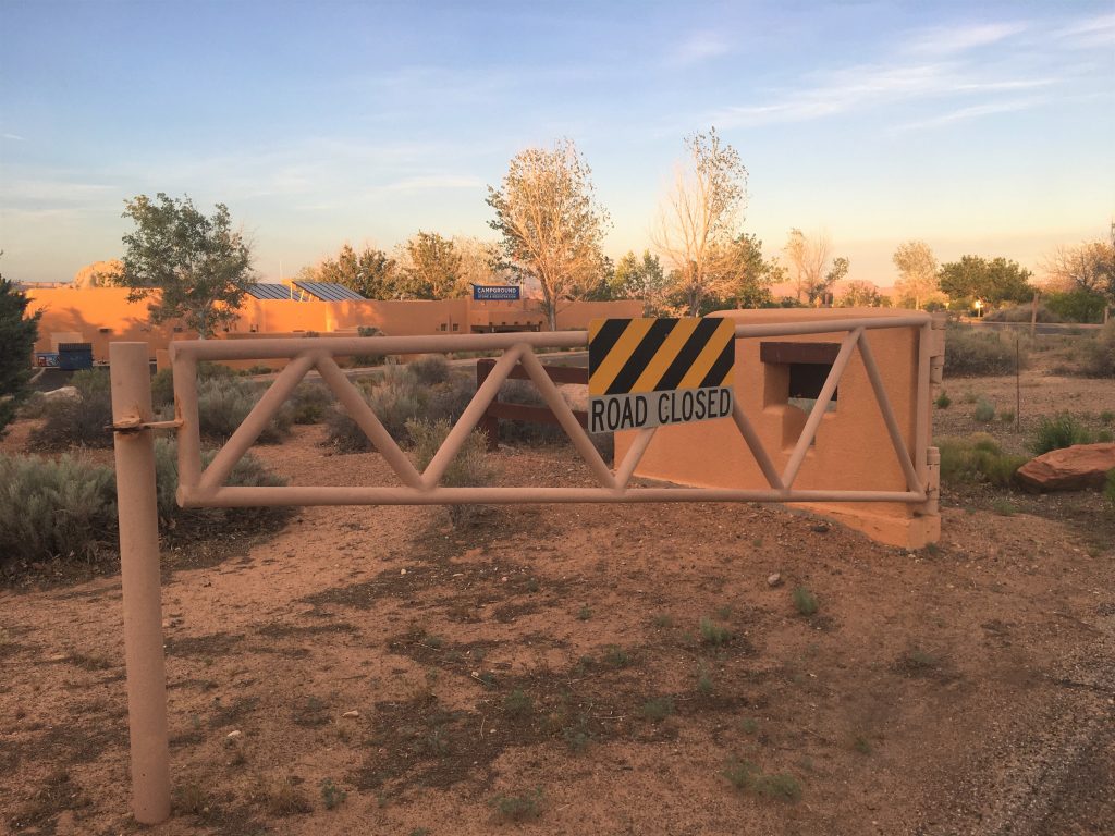
Or at least one side of it.
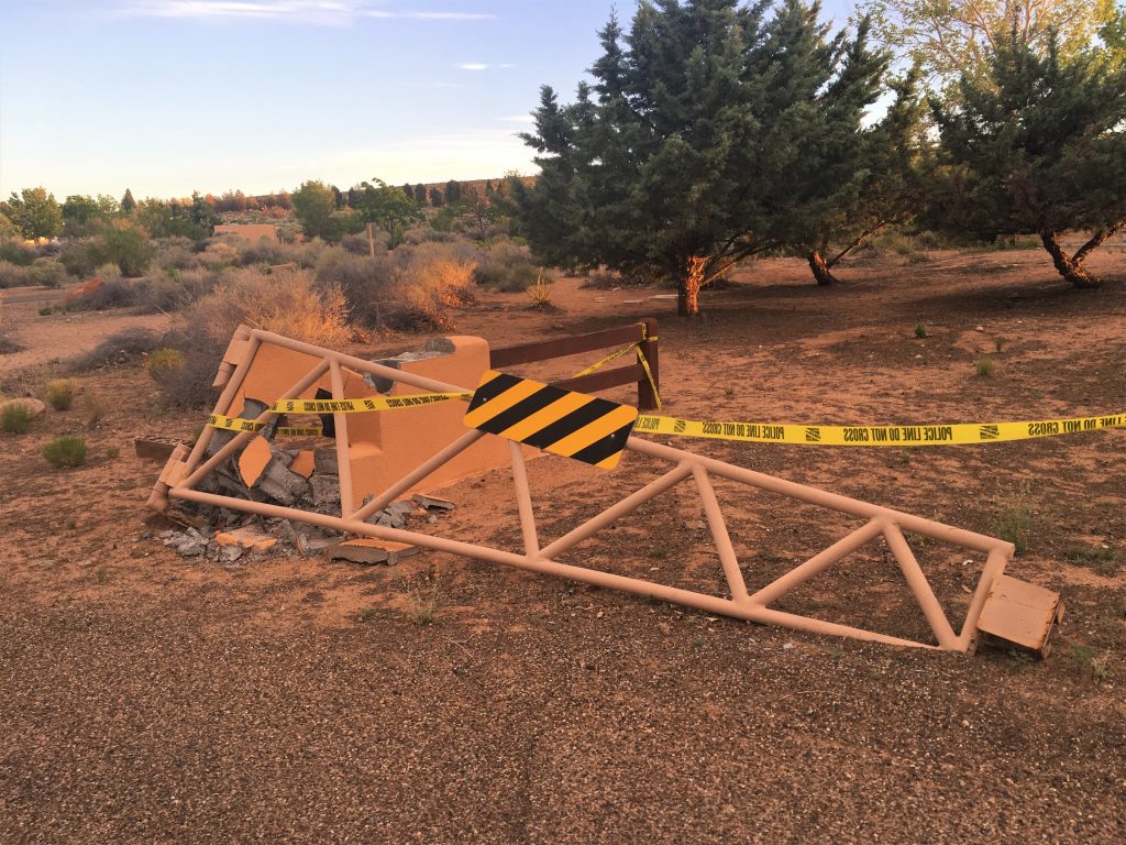
Someone cut the corner too close. Yikes!
Tomorrow is another day of God-ordained adventurous moments!
