Wahweap RV, Lake Powell Marina, Page Arizona
A wise man has great power, and a man of knowledge increases strength. ~ Proverbs 24: 5
Well, today was a different type of day for us, but one we enjoyed immensely!
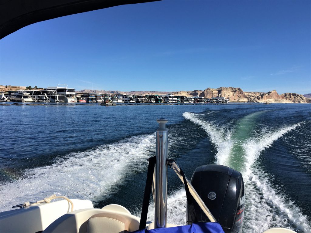
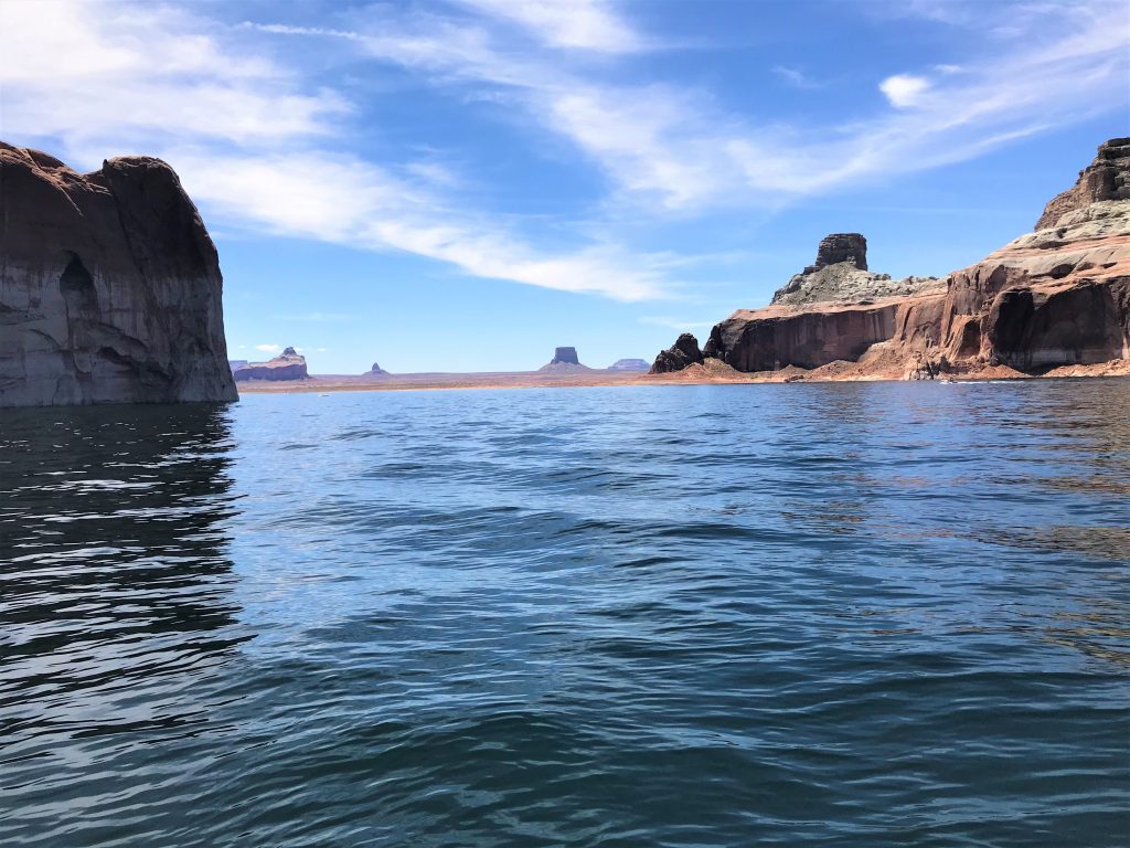
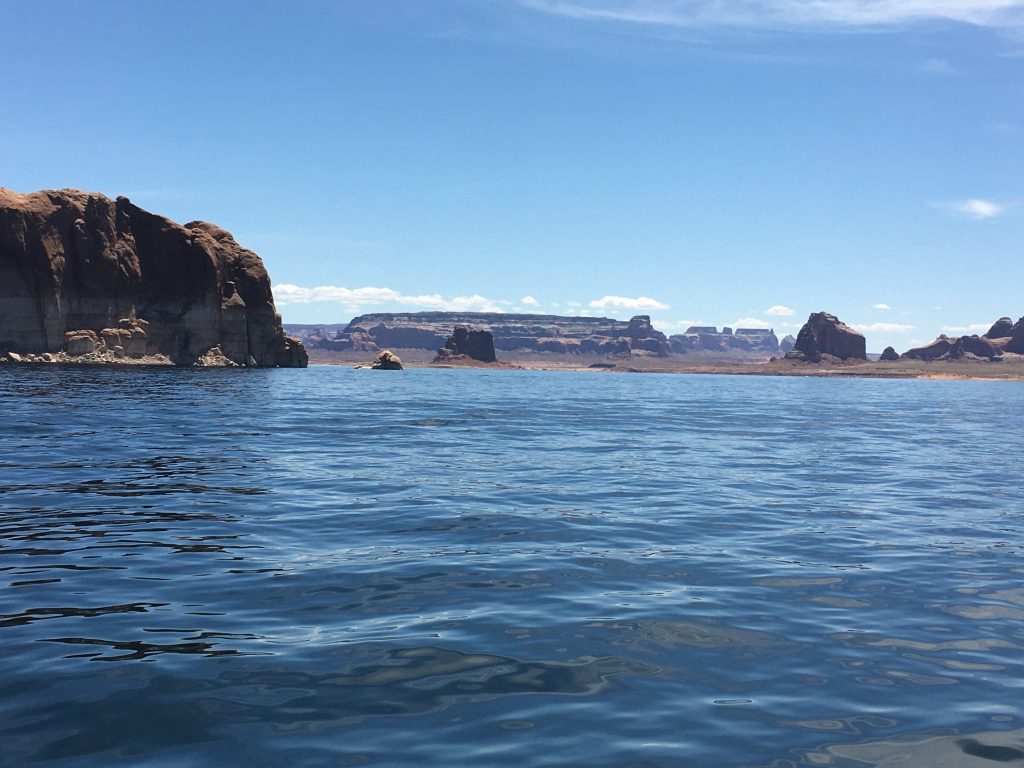
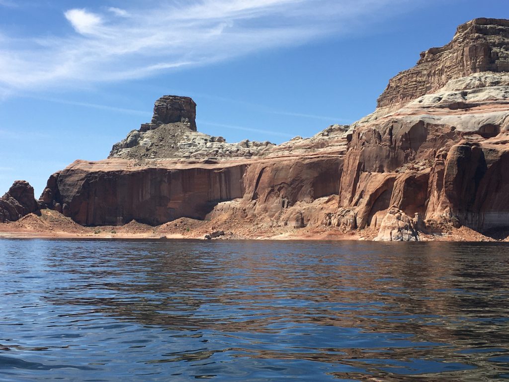
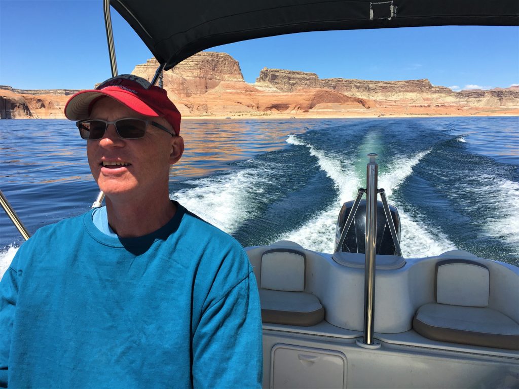
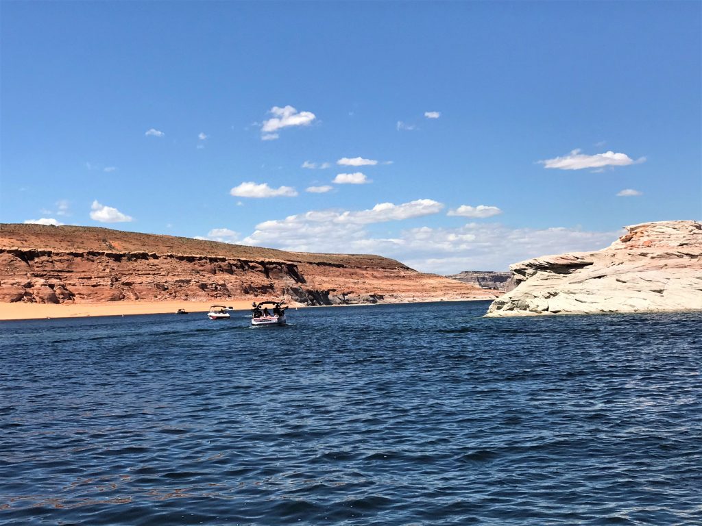
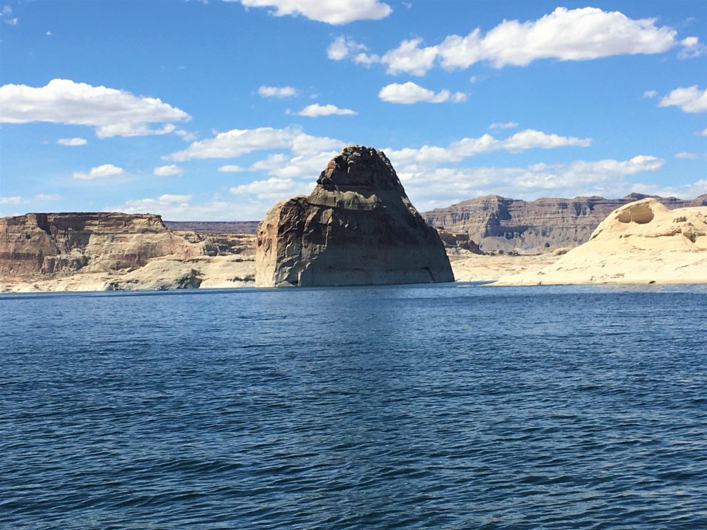
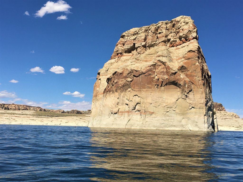
We rented a 19’ speed boat and spent the day traveling around Lake Powell. Our original plan was to visit a place called Rainbow Bridge National Monument, but when Blaine checked in, they told him it would take us at least eight hours for travel to and from plus the 1 ½ mile hike to see it. We only had access to the boat from 9-4. We were kinda bummed about that. But at least we have the internet, so I can show you what we all missed! Oh. And by the way. You can get to it without using the Lake, but it’s a 14-mile hike – – – one way.

From its base to the top of the arch, it is 290 feet – -nearly the height of the Statue of Liberty – -and spans 275 feet across the river; the top of the arch is 42 feet thick and 33 feet wide.
On May 30, 1910, President William Howard Taft created Rainbow Bridge National Monument.
Teddy Roosevelt and Zane Grey were among those early travelers who made the arduous trek from Oljeto or Navajo Mountain to the foot of the Rainbow.
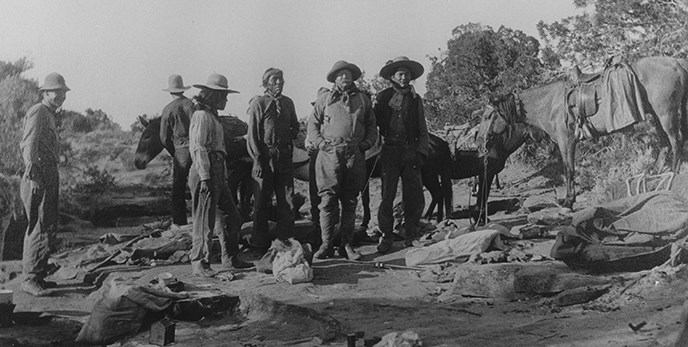
President Teddy Roosevelt and his party, camping on the way to the bridge.
It was the first weekend the marina was open, so there were a lot of rules in place. You had to wait outside, in a line with 6’ distance between customers, and then an employee set up a table with a shade over him and sat with his walkie-talkie and clipboard and waited for them to tell him they were ready for business. We were supposed to check in at 8am, and we were first in line at 7:30. They didn’t call for us until after 8:30, so they began the day behind. It wasn’t going over well with some of the customers in line behind us. But they were well-behaved at least.
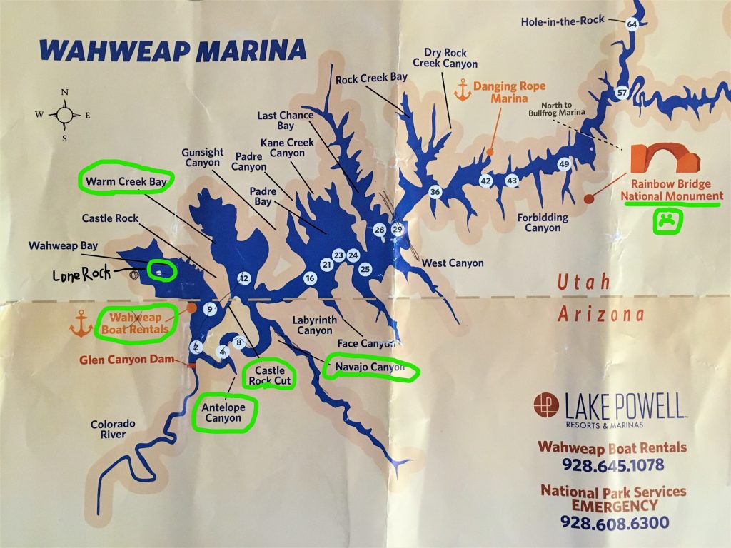
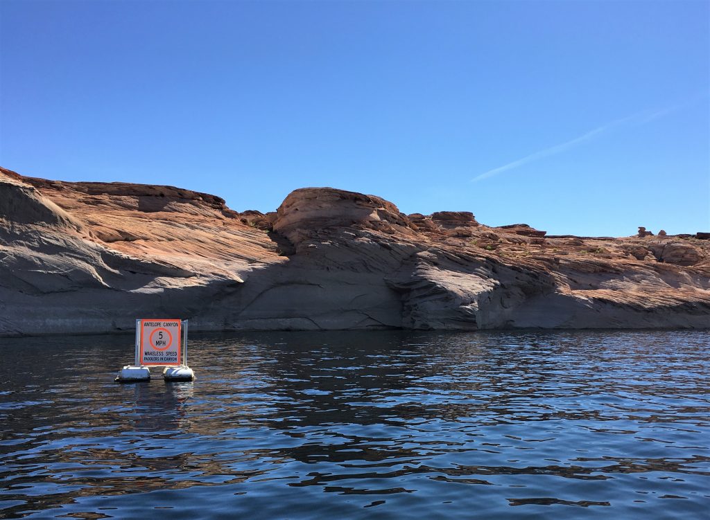
However, we’re not sure if we ever actually made it into Navajo Canyon,
since we never saw a sign.
But we were trying! : )
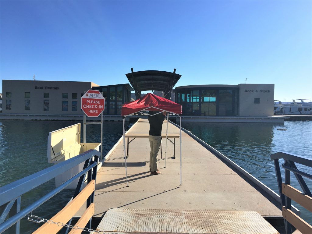
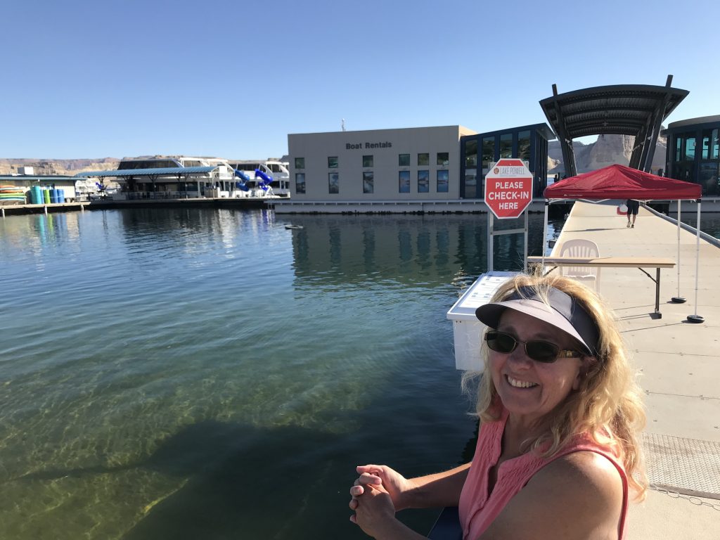
Once we were called up, we had to walk the plank to the office, but only one of us was allowed in. The most responsible one with the best memory (you had to learn how to run the boat, and sign your life away). Guess who that is? I’ll give you a hint. It’s not me. 😊
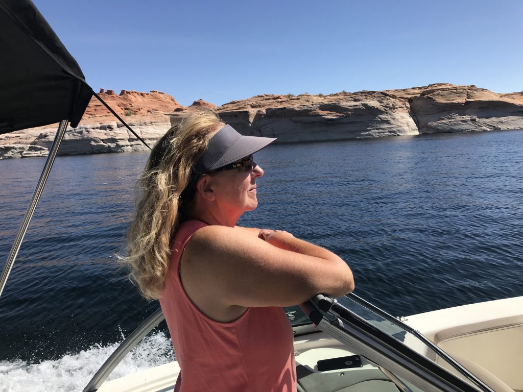
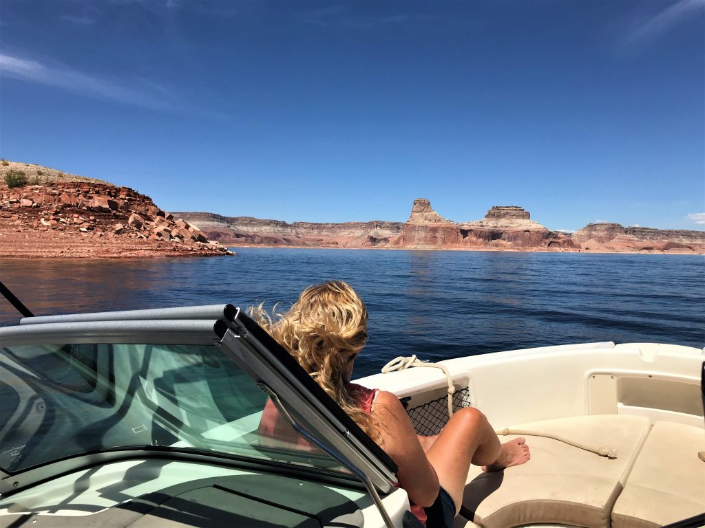
Once we were settled on the boat and on our way, I kicked off my shoes and let my hair down. So wonderful! The only down side to that was tediously removing the tangles once I got home. But it was sooooo worth it! And my feet were able to breathe for the first time in many days!
Before we begin, let’s learn stuff.
You’ve already heard tell about the Glen Canyon Dam and how Lake Powell was formed and why, and now, since I’m not teaching you anything else today, I’m going to tell you a bit about the Colorado River. The following information (just like some of the other stuff I’ve shared) is taken from the Lake Powell Visitor Guide Magazine I picked up inside the campground check-in on the day we arrived.
Originally known simply as “The Grand”, the now-named and famous Colorado River is one of the Eight Natural Wonders of the World. It flows 1,450 miles through eleven national parks and monuments and crosses seven U.S. and two Mexican states. As one of the most important (if not THE most important rivers of the American West, it has inspired a wealth of lore inspiring both fear and fascination. Its stature swells as it continually carves through some of the planet’s most spectacular and daunting landscape: desert canyons, buttes and mesas.
Facing his first exploratory trip down the Colorado River in 1869, the one-armed Civil War veteran John Wesley Powell said, “We have an unknown distance yet to run, and unknown river to explore. What falls there are, we know not; what rocks beset the channel, we know not; what walls ride over the river, we know not. Ah, well! We may conjecture many things.”
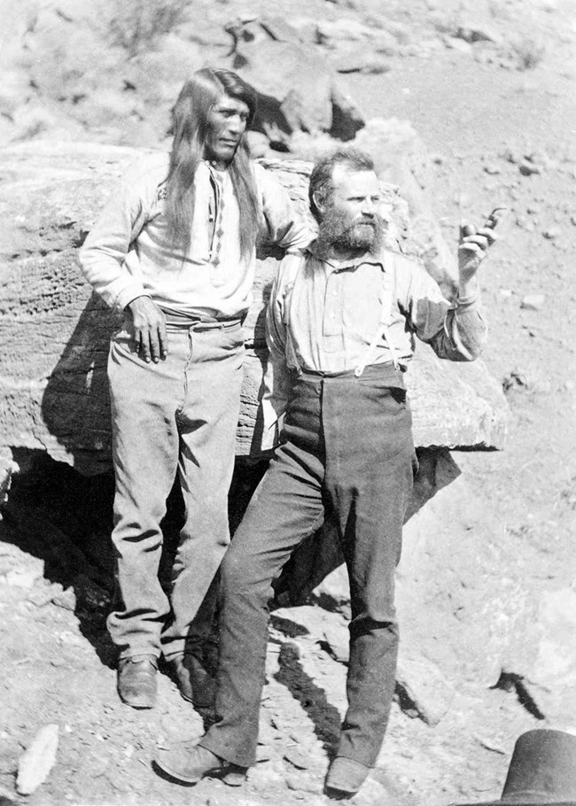


Including the same type wooden boat.
Hey. At least they’re wearing life jackets this time.
This year is the 150th Anniversary of Powell’s first epic journey, a trip remembered for its countless challenges and seemingly impossible success. Powell’s story is one of strength, determination and unyielding courage against the odd wilds of a totally unknown river – the Colorado River.
Three of his river men left mid-journey rather than face the seemingly suicidal mission of daring the ferocious rapids in their little boats. To this day, and despite his return voyage seeking them, their fate is still unknown.
Today, brave visitors may still face the same rapids that chased Powell’s men away. Take a kayaking tour or raft trip and feel your heart race as you enter the thundering white-water jaws of the terrifying Lava Falls. Less terrifying adventures are also available; the variety of recreational activities is seemingly endless: fishing, paddling, boating, backpacking, wildlife viewing and photography.
The Colorado River may well be considered the hardest working river in the Wild West. The 277-mile segment passing through the Grand Canyon is bracketed by Lake Powell and Lake Mead and used to quench the thirst of over 36-million people. The 1922 Colorado River Water Compact was drafted to divide water portions between the lower and upper basin states and is taxing the river beyond its capacity to provide. The threats facing this natural masterpiece have resulted in this 277-mill segment receiving the Number One spot on the American Rivers Most Endangered Rivers Report of 2015.
Is there hope for our iconic river, a river that is part of American Legend? Yes. But only with careful conservancy and foresight.
For those of you curious about such things, let’s return to that Water Compact for a minute, with more excerpts from the Visitor Guide:
The Compact divides the basin into two sections – the Upper Colorado Basin (Colorado, New Mexico, Utah and Wyoming) and the Lower Colorado Basin (Arizona, California and Nevada). It established that each basin in entitled to 7.5 million acre-feet of Colorado River water annually. It also grants priority entitlement to the lower basin states to deliver the lower basin’s full allocation as averaged over any rolling 10-year period regardless of annual runoff and hydrology. Later negotiations further established minimum objective release criteria wherein an average of at least 8.23 million acre feet is provided to the lower basin annually. Additionally, a 1944 international treaty guarantees 1.5 million acre-feet of Colorado River water to Mexico each year.
By the early 1950s, many federal projects were in place in the lower basin (dams – including Hoover Dam), designed to build dependability into the river’s resource and reduce the risk from it’s erratic and destructive flows.
In 1956, Congress authorized one of the most extensive and complex river resource development projects in the world, the Colorado River Storage Project. Its purpose is to allow upper basin states to develop their Colorado River water apportionments while meeting or exceeding required annual water delivery to the lower basin.
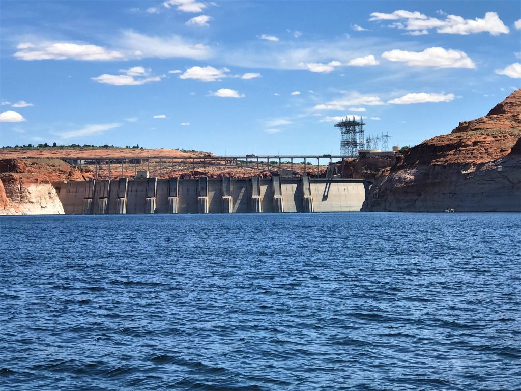
Glen Canyon Dam and its reservoir, Lake Powell, functions like a savings account of water that can be drawn upon in times of drought. With 26.2 million acre feet of capacity, Lake Powell accounts for more than 86% of the 30.6 million acre feet of total storage capacity across CRSP’s four main units. That storage is key to ensuring the upper can meet its annual delivery obligation to the lower basin without creating shortages for upper basin states. In addition, CRSP facilities and participating projects provide other valuable benefits such as hydroelectric power, flood control, agricultural irrigation and recreation.
Hydroelectric power generation is a very important CRSP benefit and provides major support to the western power grid. Project facilities can generate enough electricity for nearly 5.8 million customers in seven Western states. Reclamation provides electricity from CRSP facilities to the Western Area Power Administration, which markets and delivers the low-cost, reliable hydropower to a variety cooperatives, municipalities, tribes, publicly owned utilities and state and federal agencies. CRSP facility and project costs – including repayment of initial construction, system upgrades, operation and maintenance – and paid entirely from hydropower electricity sales and transmission revenues, rather than from US taxpayers. In fact, each CRSP project is self-sustaining: costs for facilities within each generating unit are paid by that unit, not shared or covered by other units in the CRSP. Power generation revenues also support recovery and environmental programs within the basin, reduce salinity in the river and rehabilitate local irrigation systems.
It has been 60 years since Congress first authorized CRSP and its facilities continue to fully meet its vision and purpose. Storage provided by Glen Canyon Dam in particular has enabled the upper basin to weather prolonged drought successfully, while making consistent full water deliveries to the lower basin without creating shortages for upper basin states.
Okay. Let’s get on with our gorgeous day!
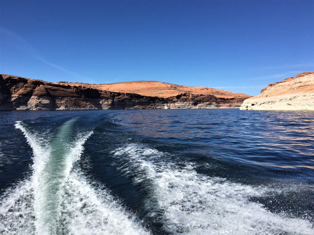
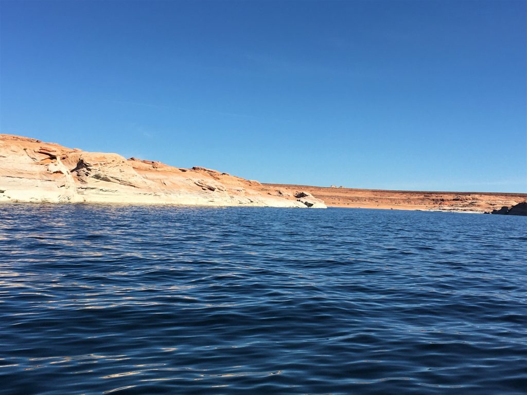
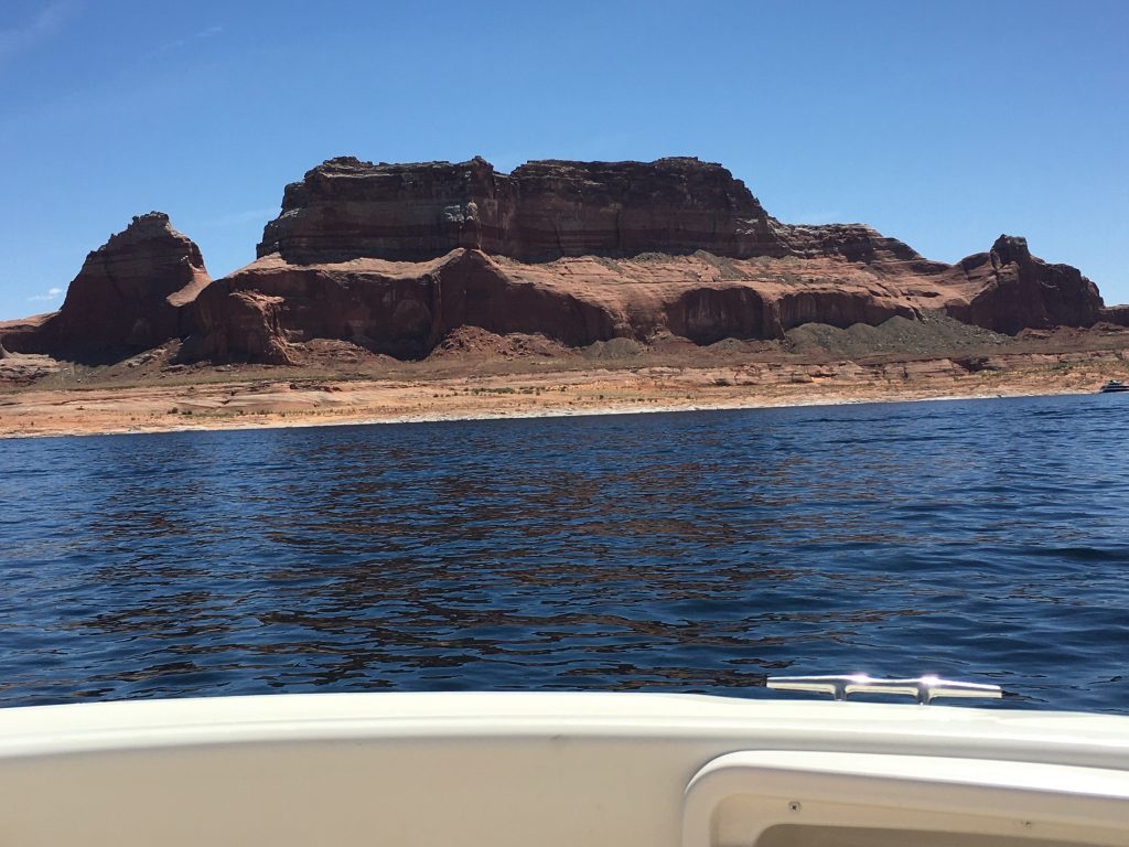
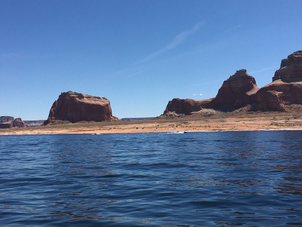
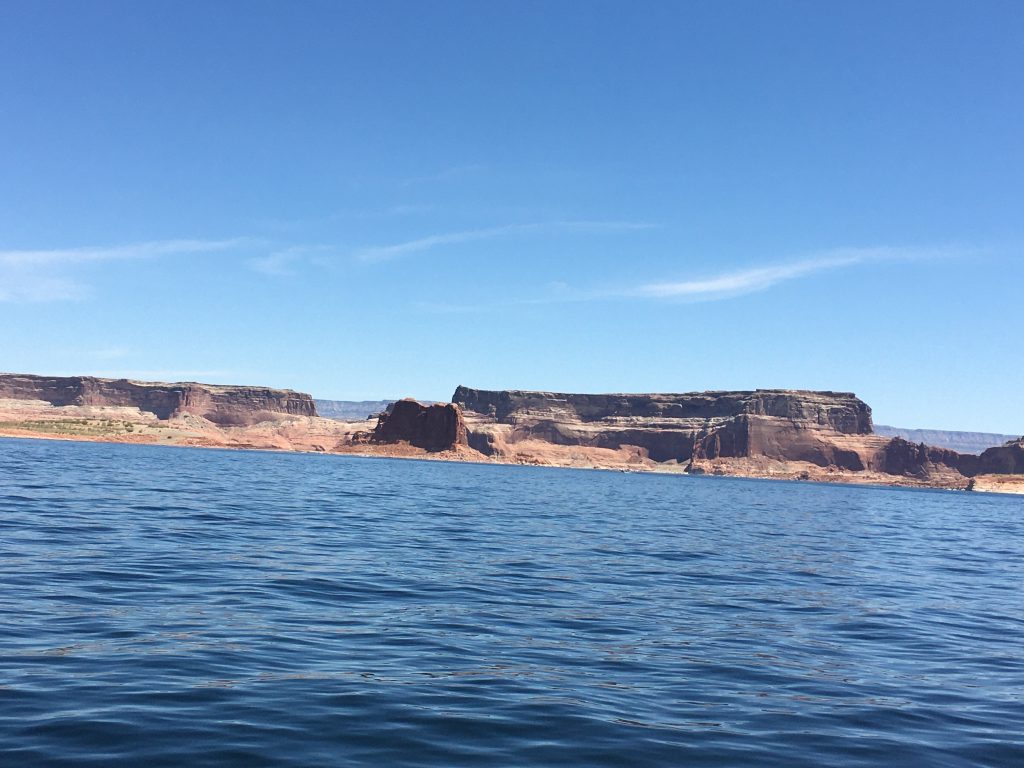
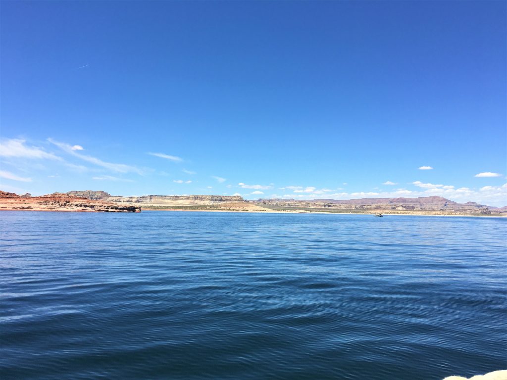
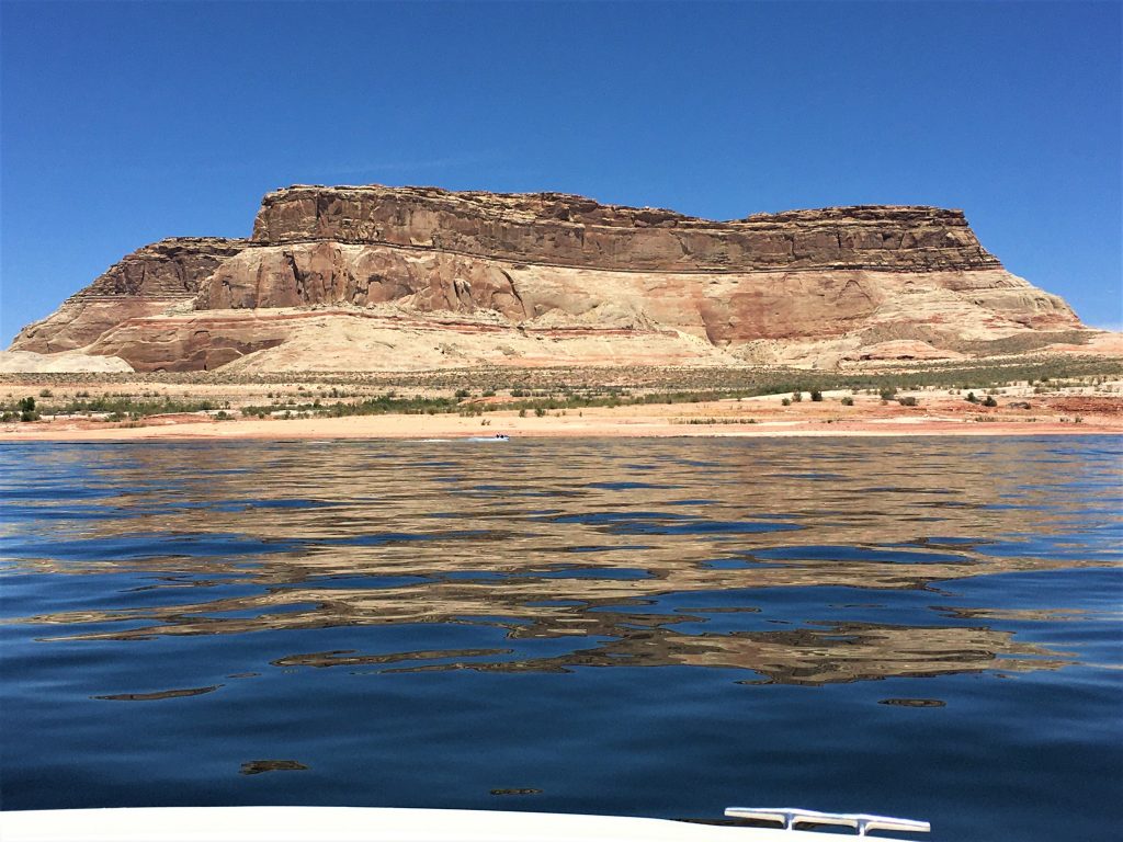
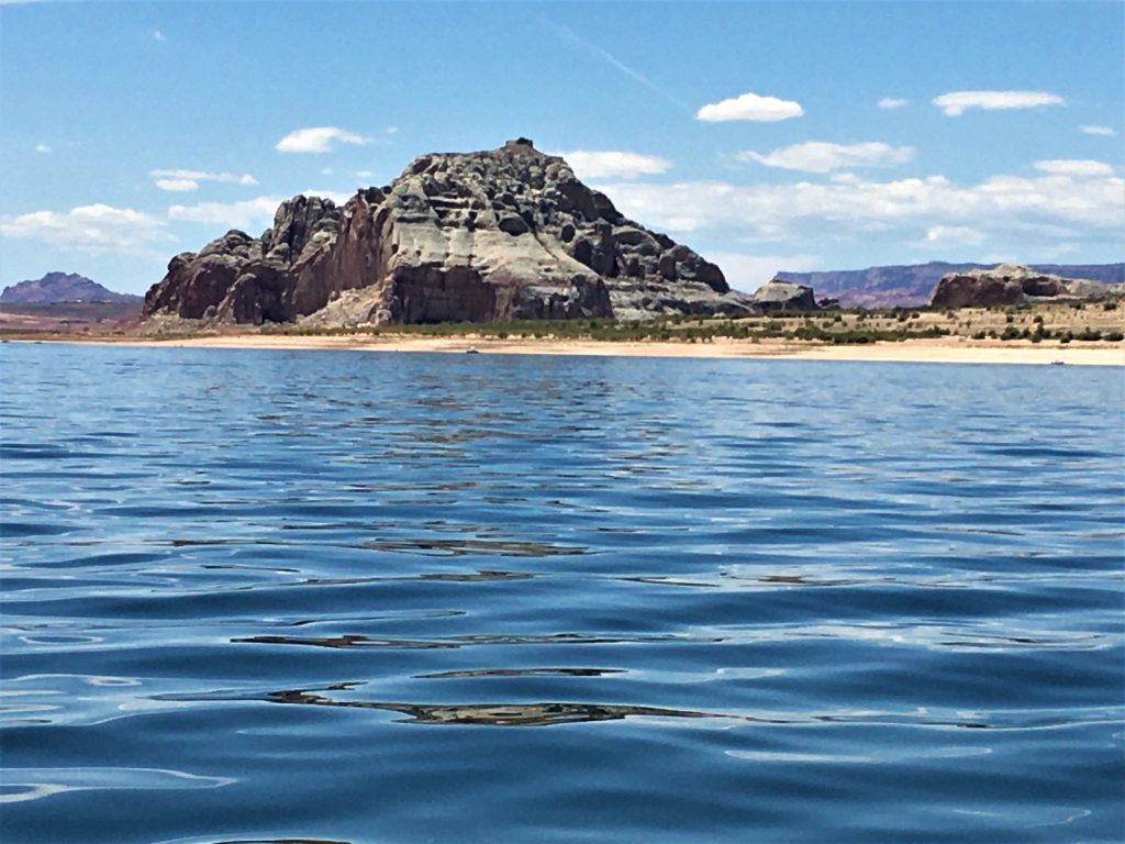
Being on this enormous lake, kinda reminded us of when we were in Alaska. You look across the water and say “Oooooh . . . Let’s go over there!”, but it takes you three hours to get there because it’s much further away than it looks. A bit of an exaggeration, but you get the idea. 😊
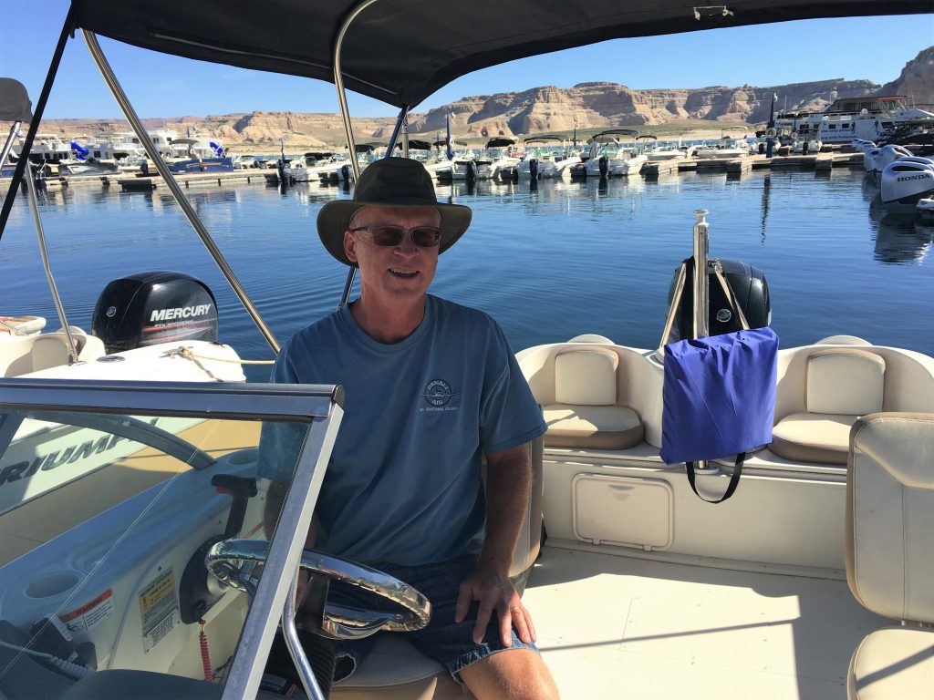
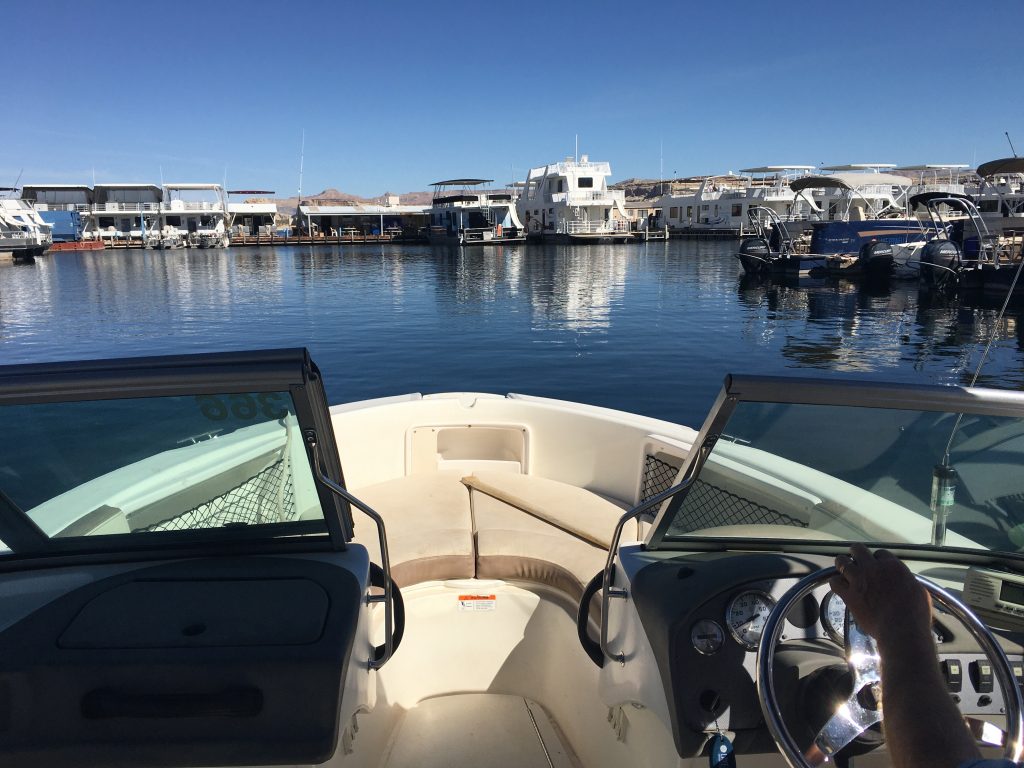
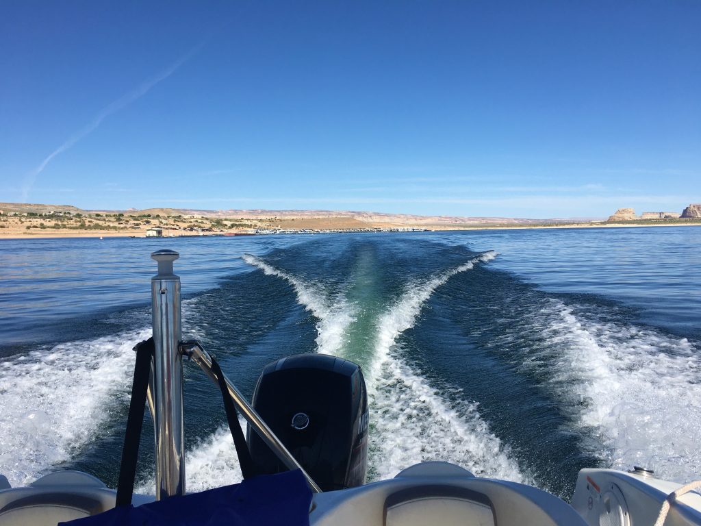
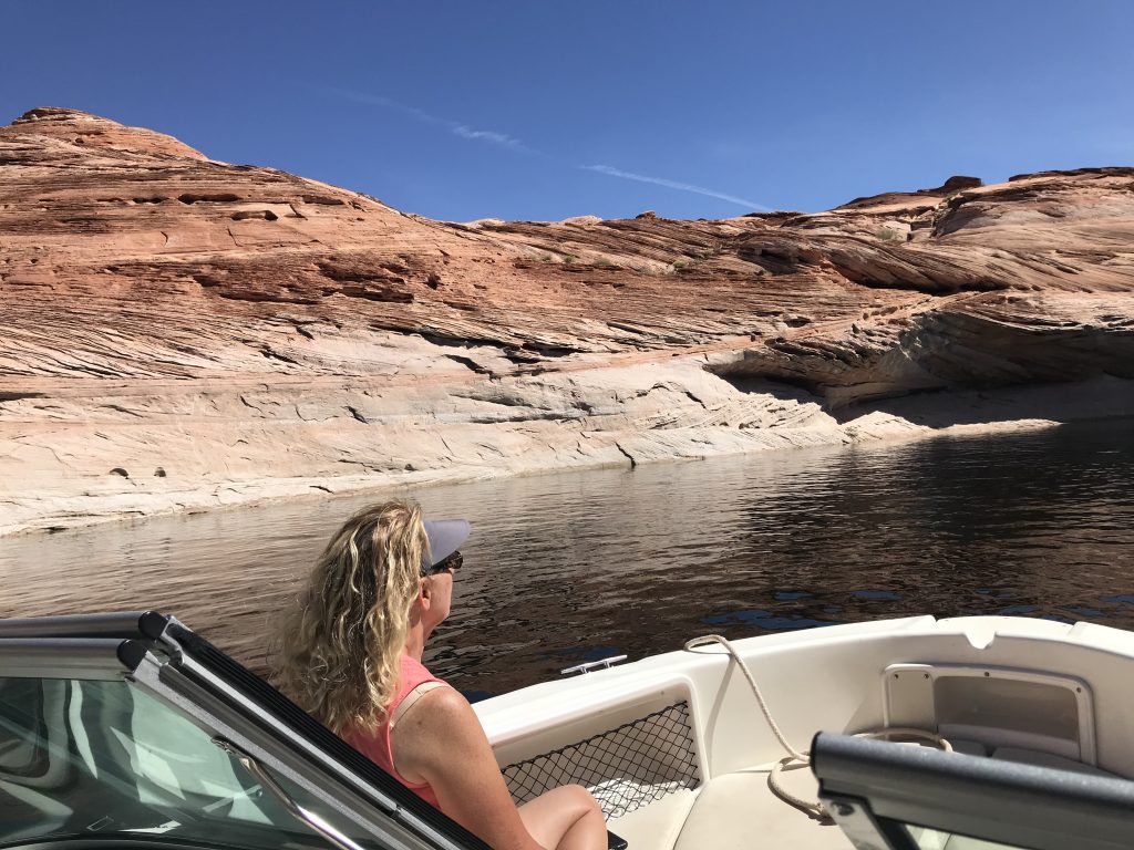
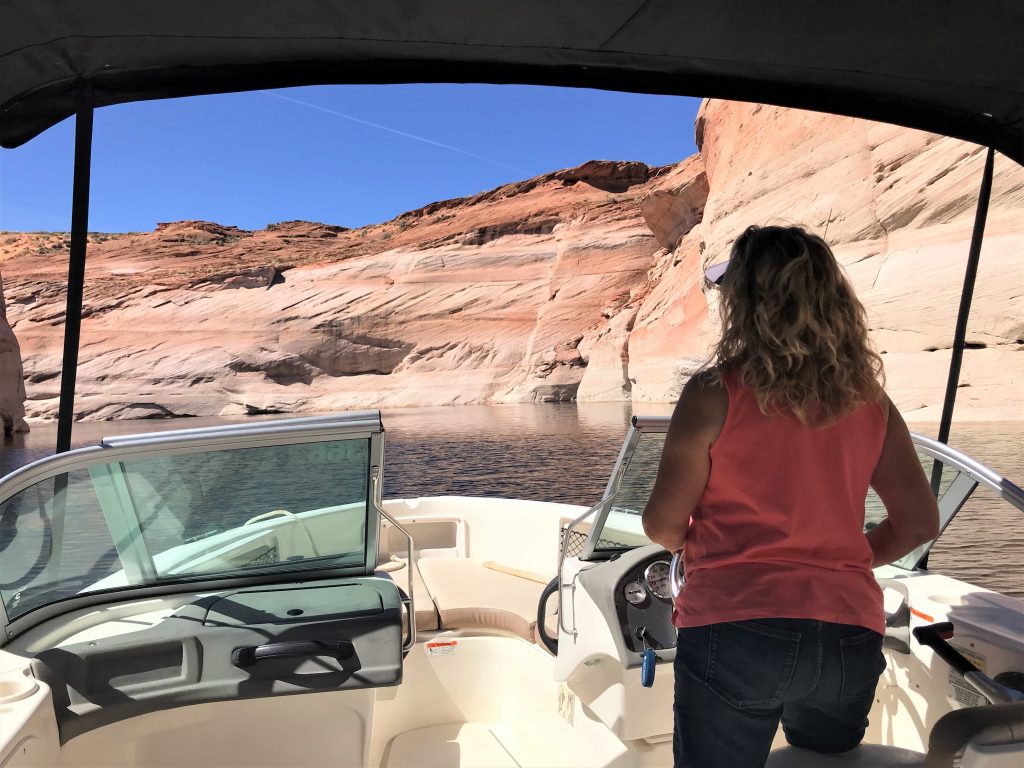
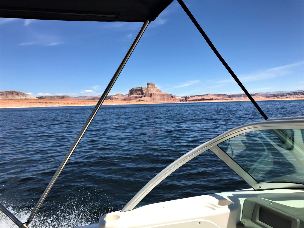
The window frame is in my way. : )
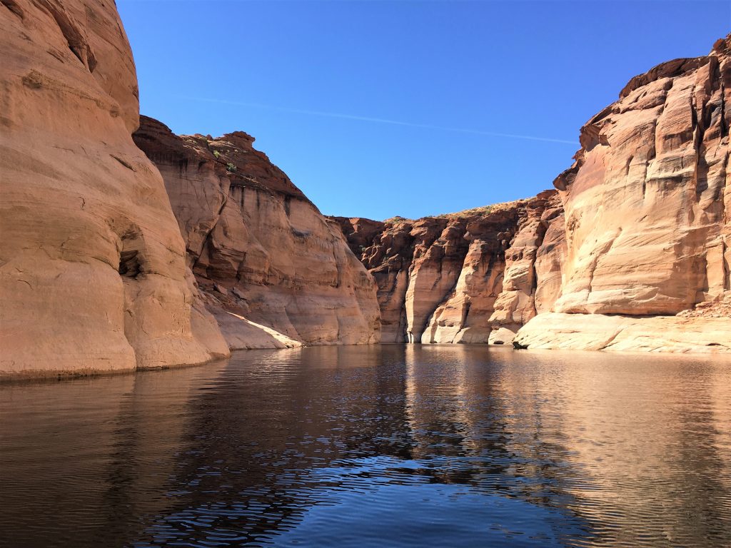
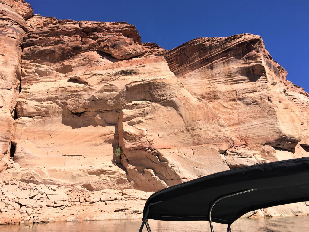
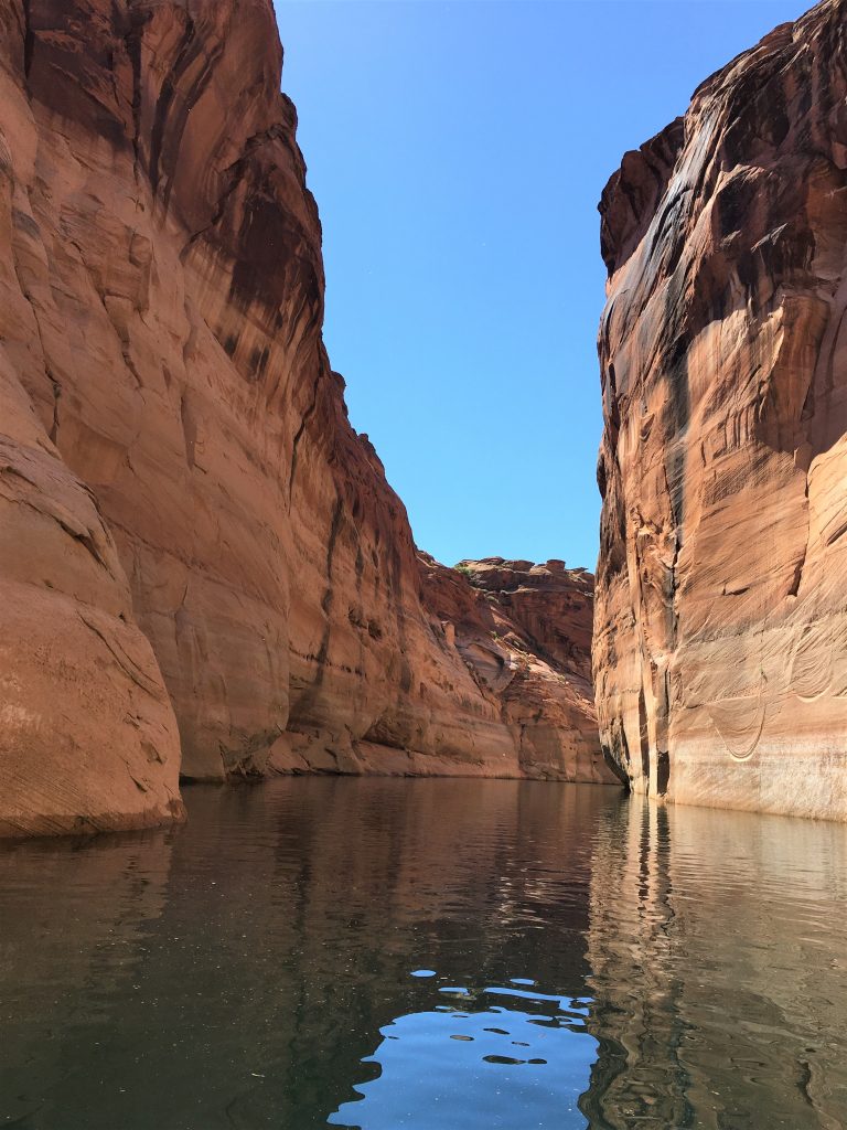
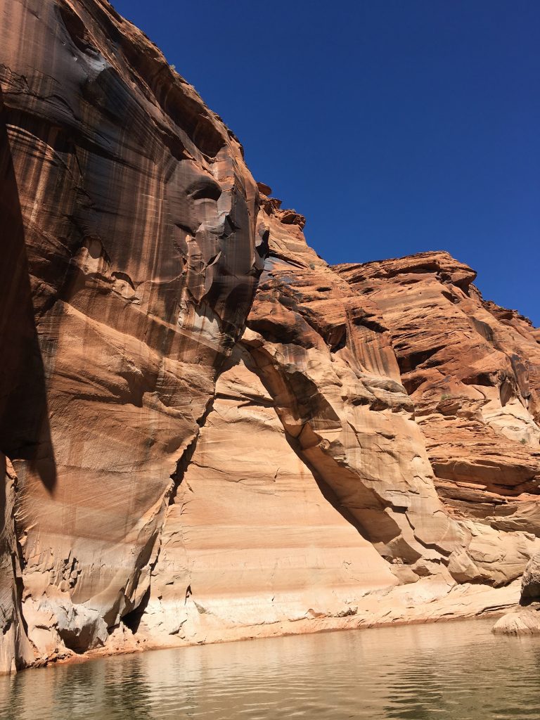
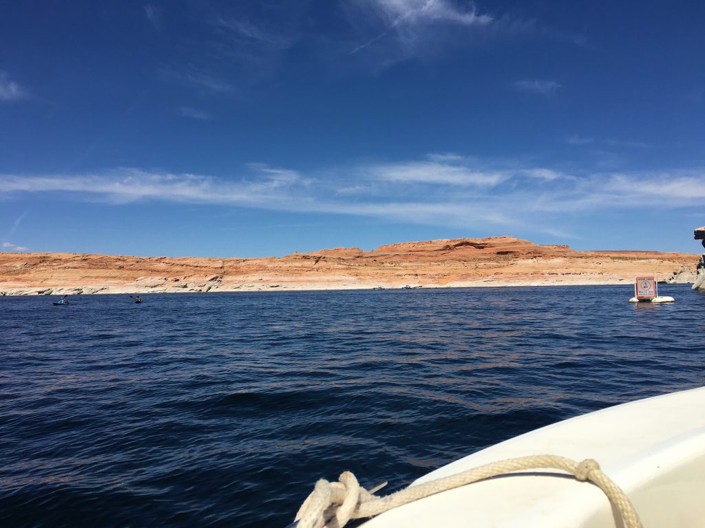
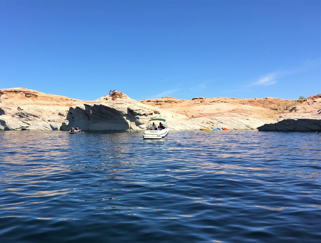
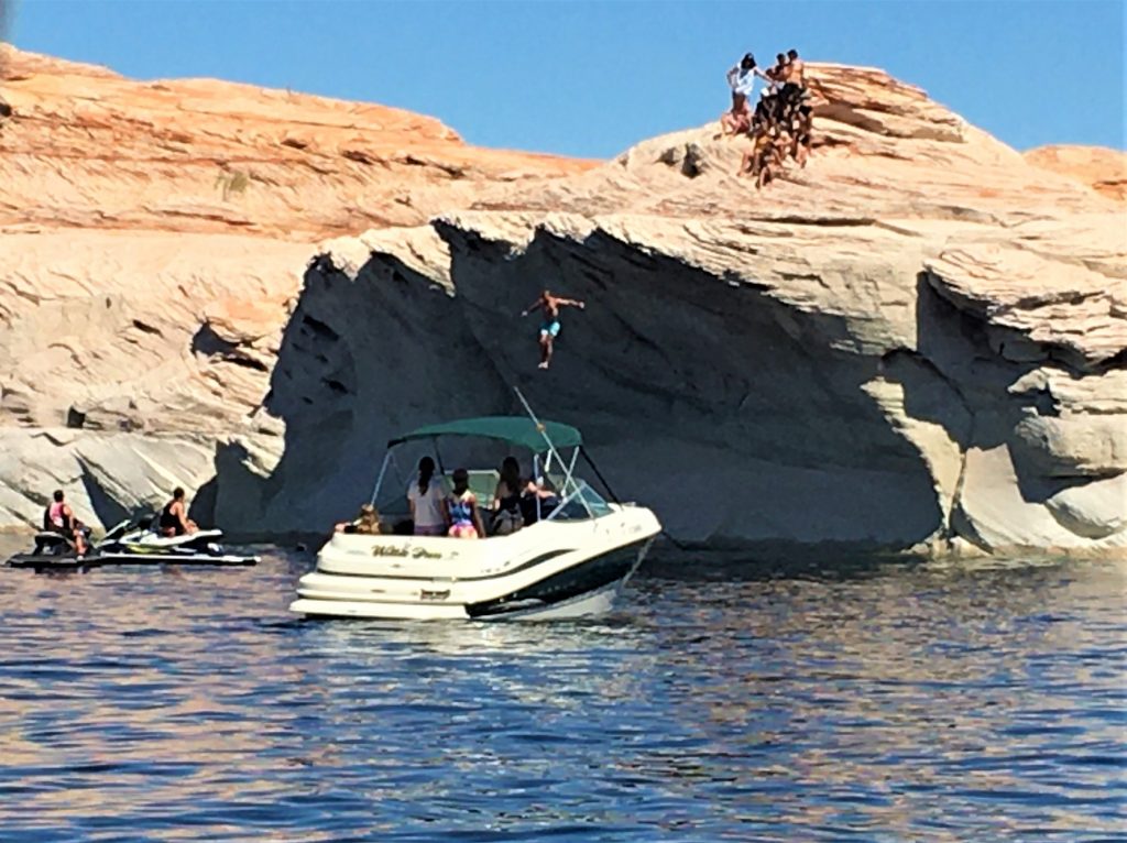
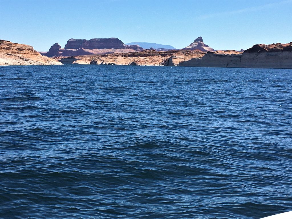
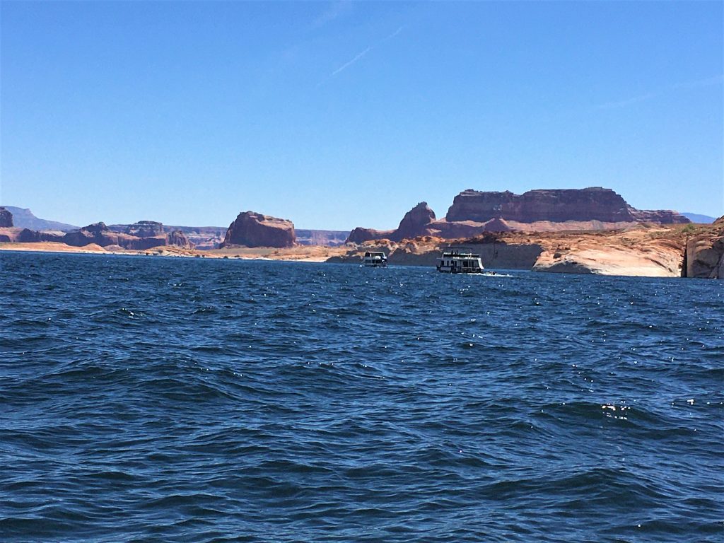
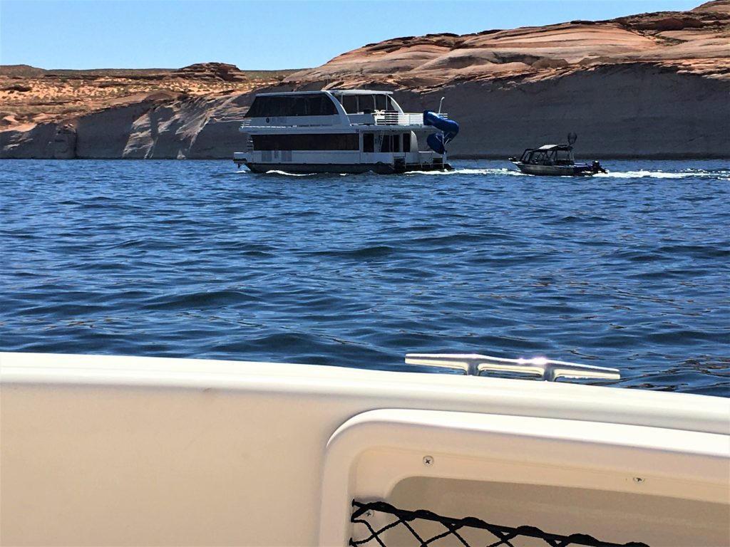
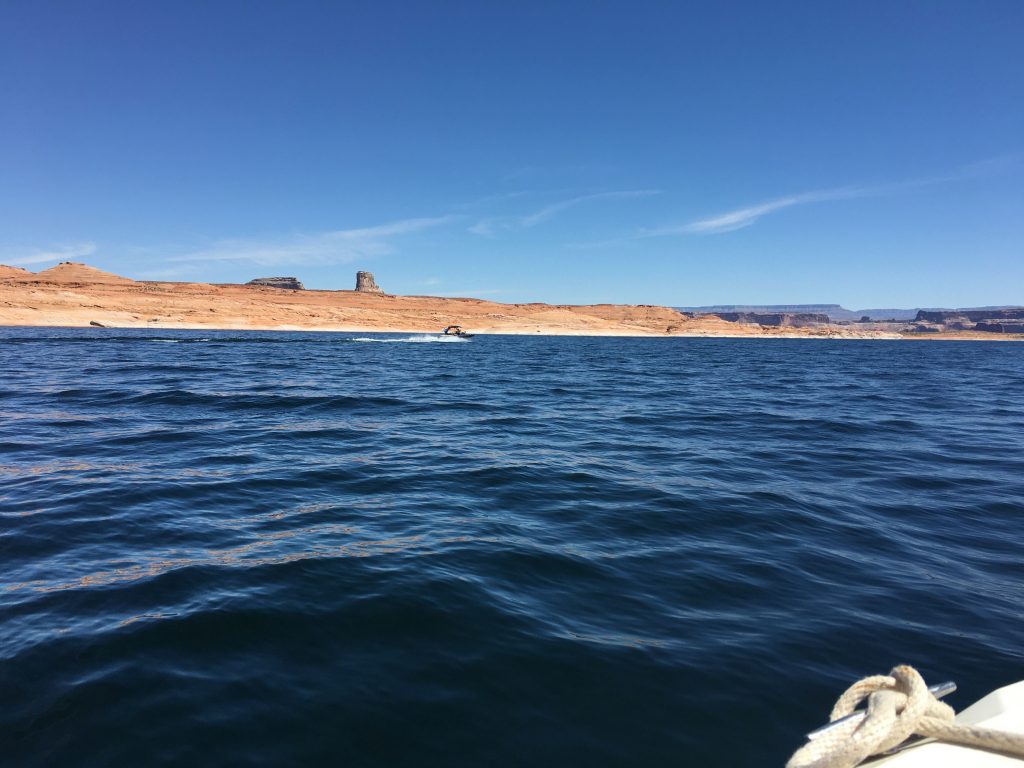
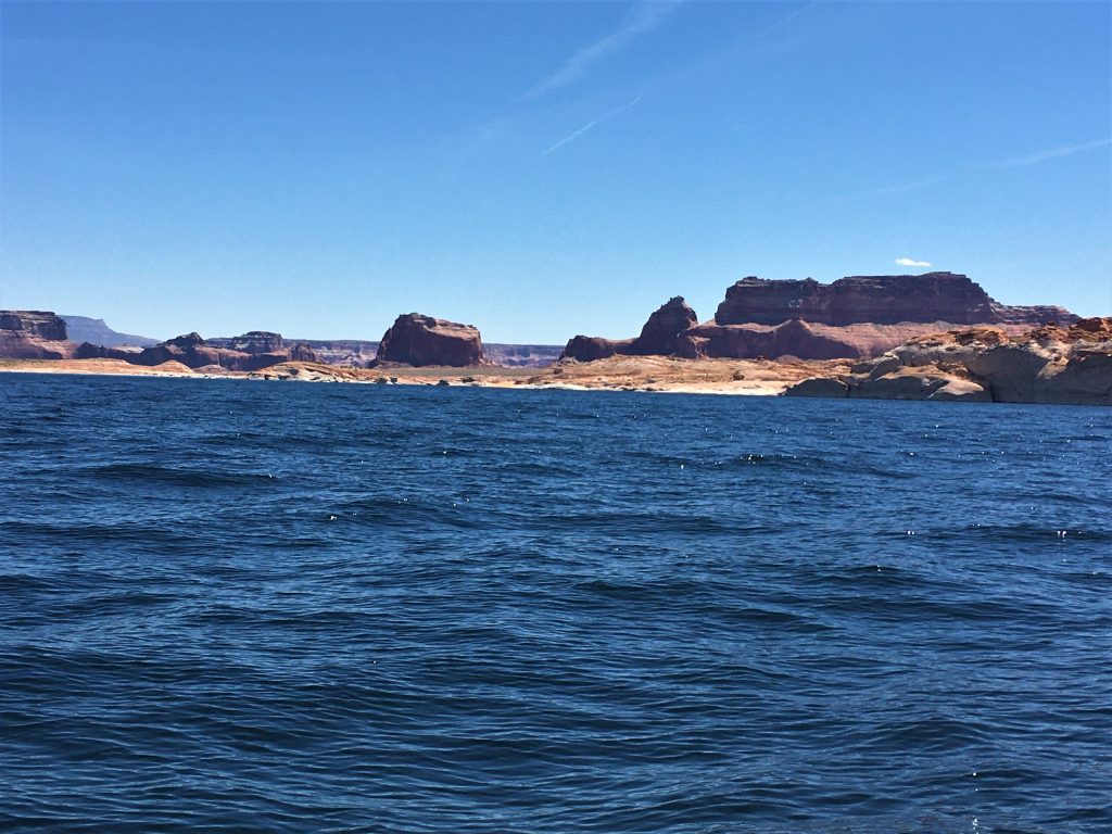
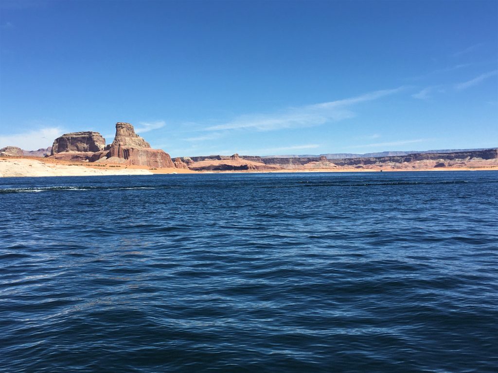
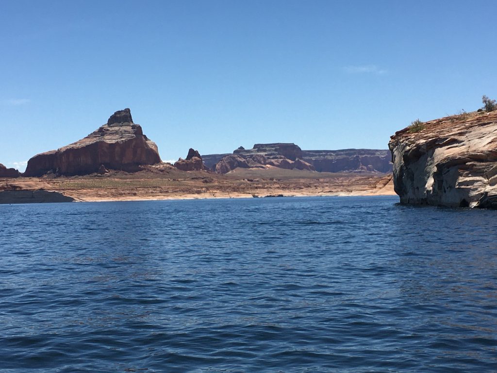
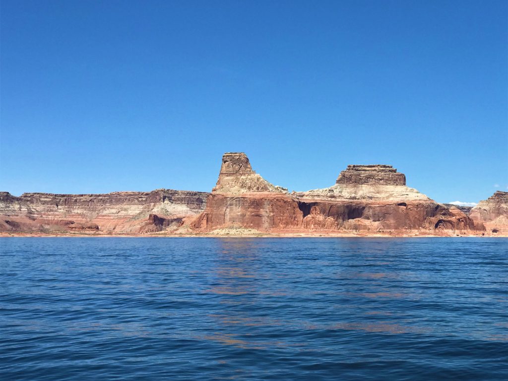
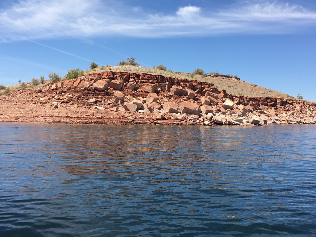
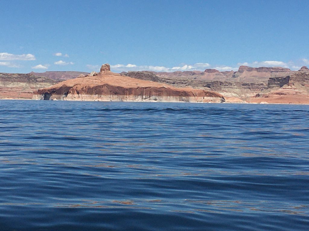
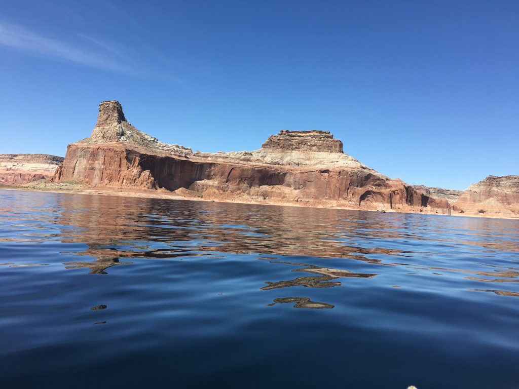
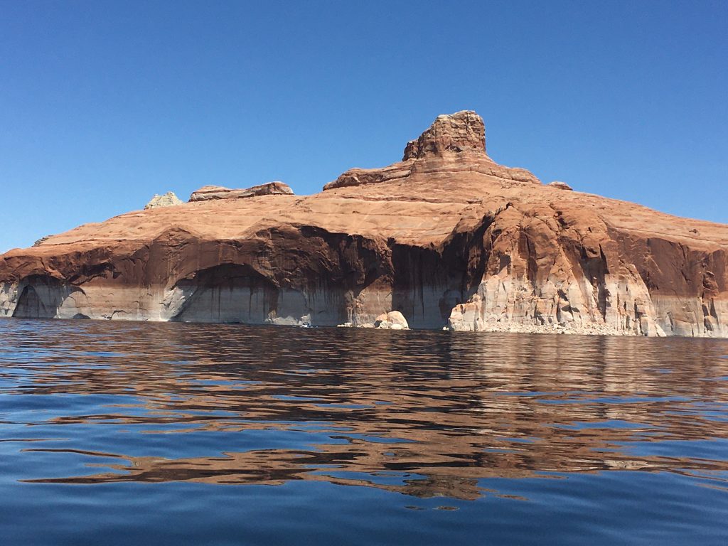
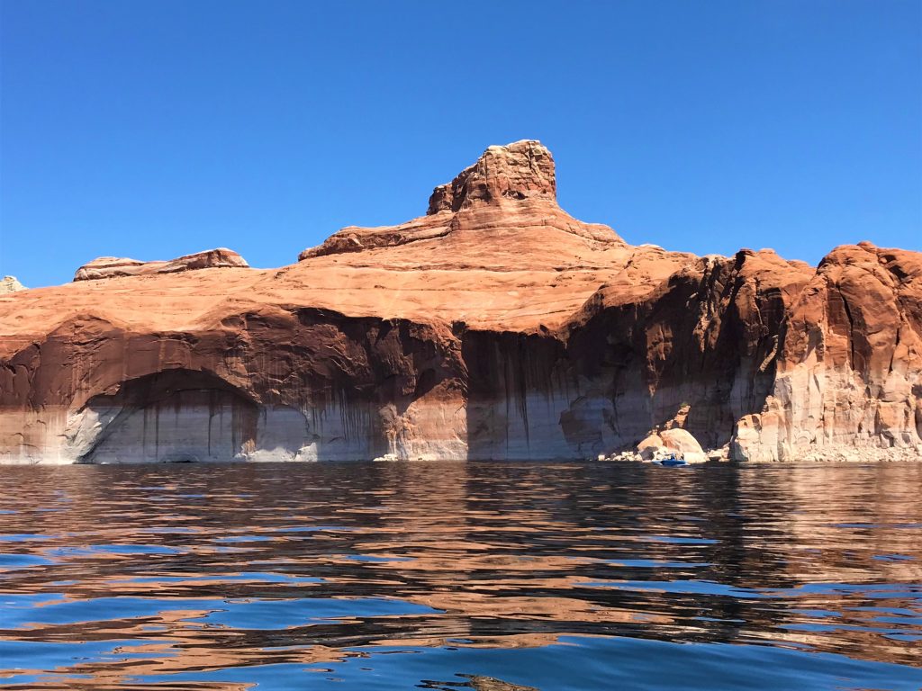
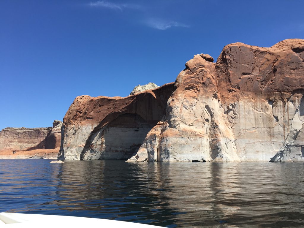
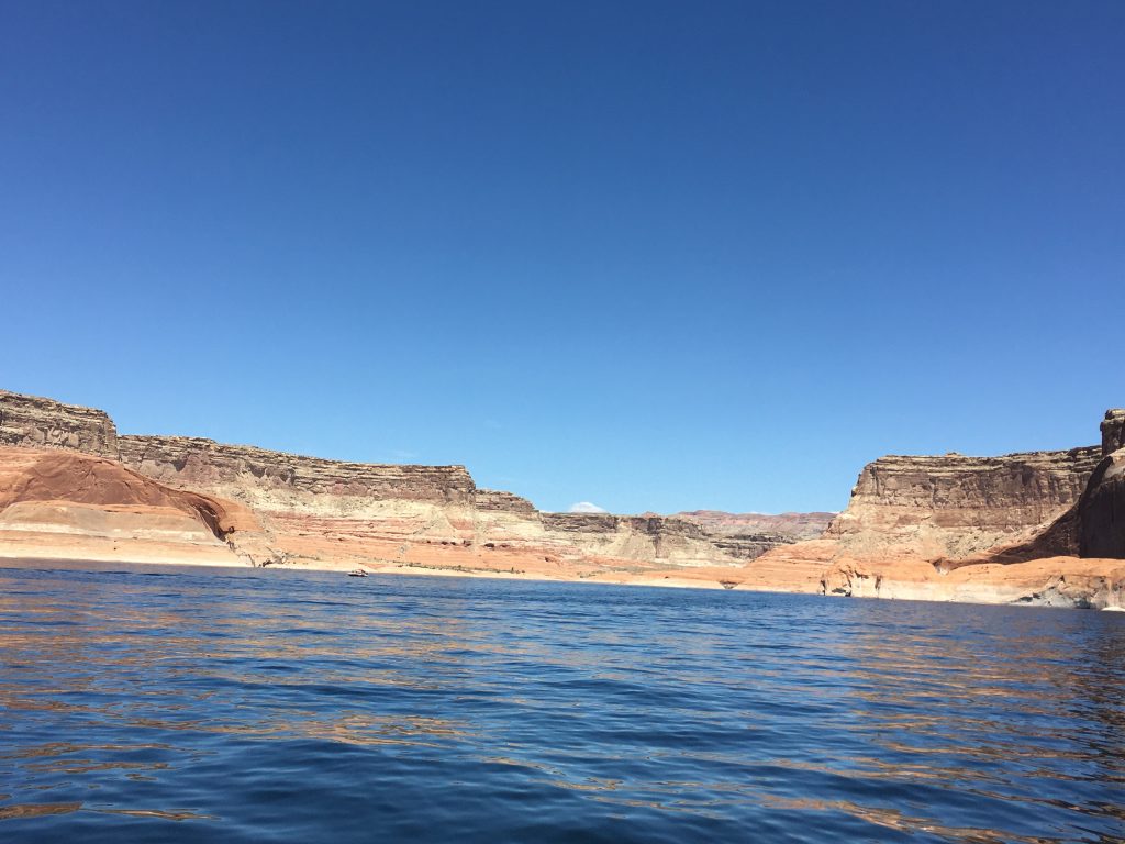
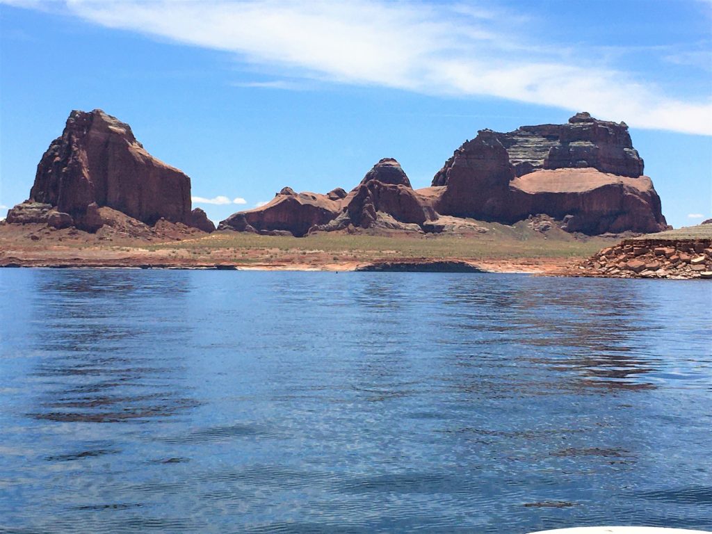
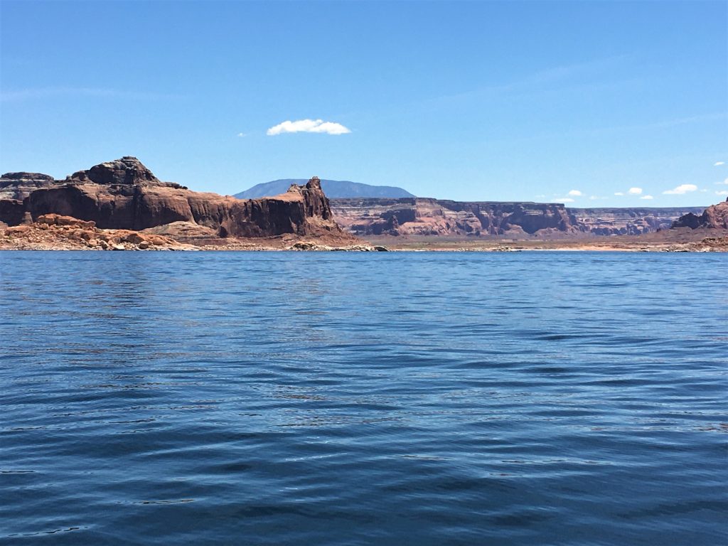
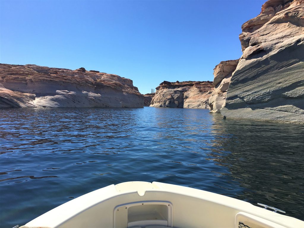
but it was a pretty wide-open space – – as it is in the beginning, according to the map.
But looking back, we don’t think we were. But we’re not sure where we were. : )
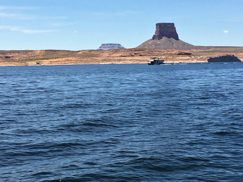
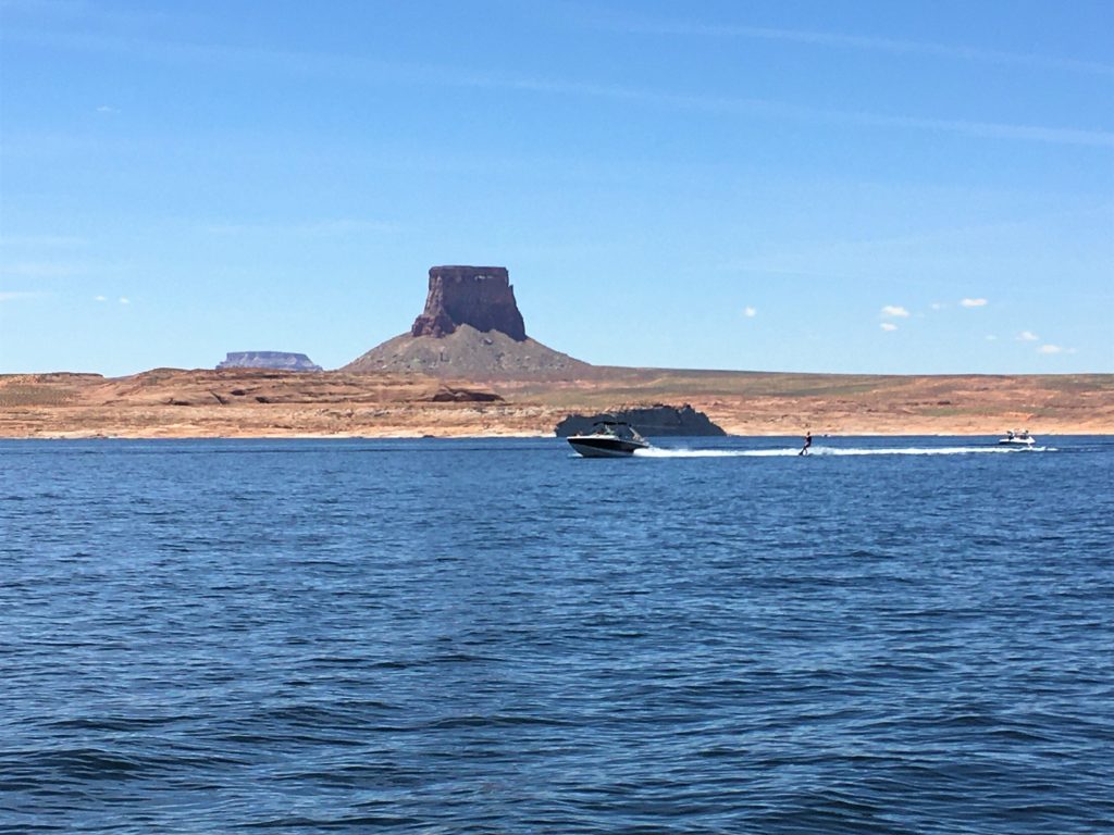
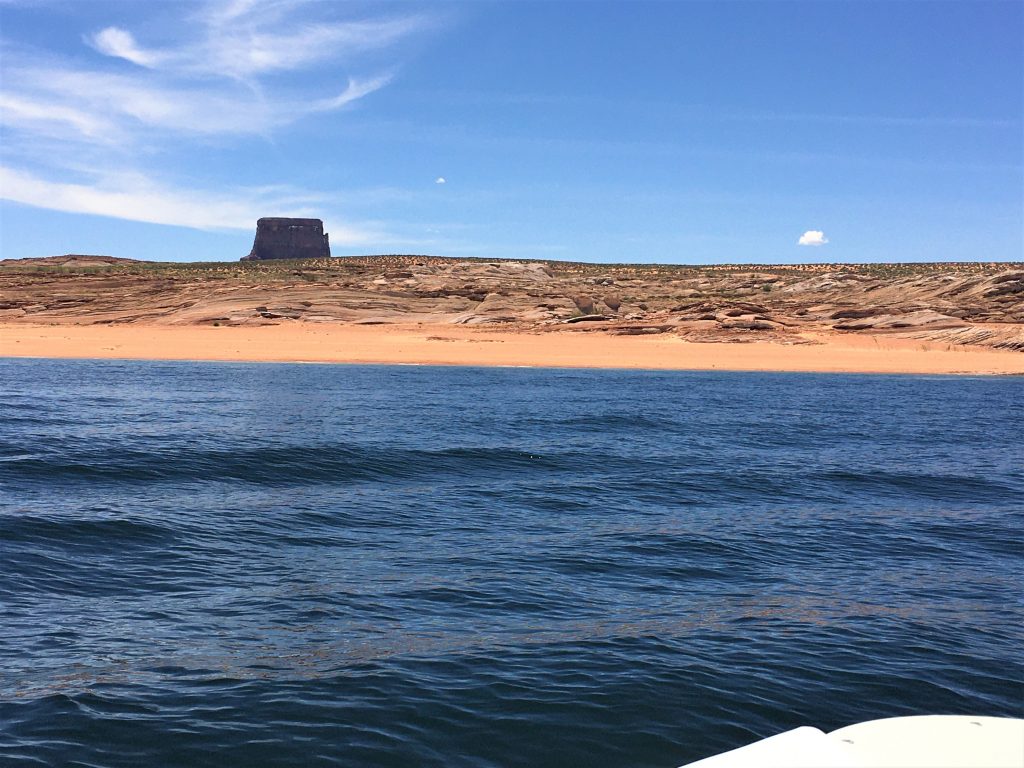
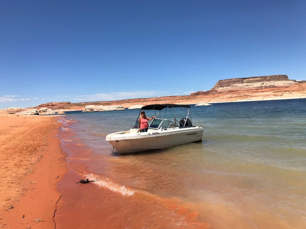
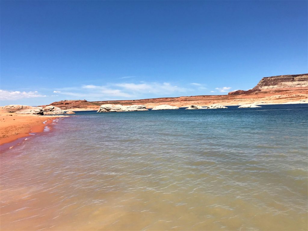
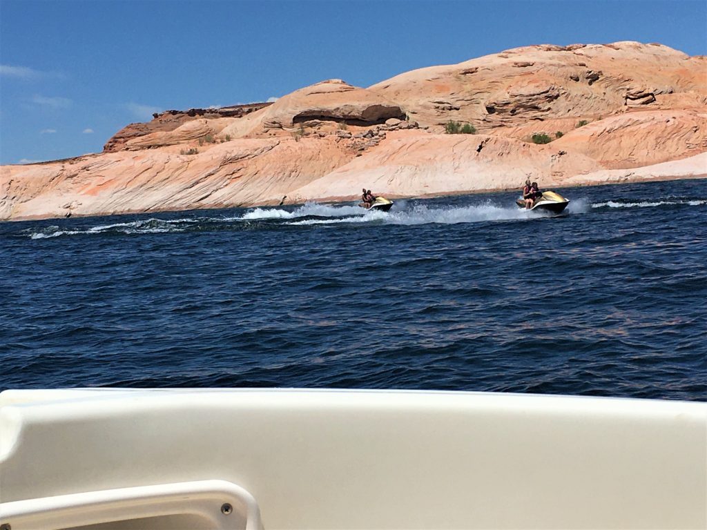
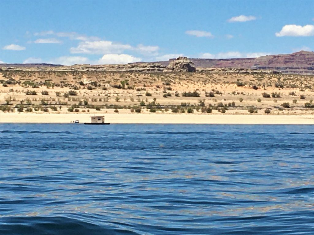
It’s a bathroom!
Floating on the water!
They have several around the lake. I don’t know how that works.
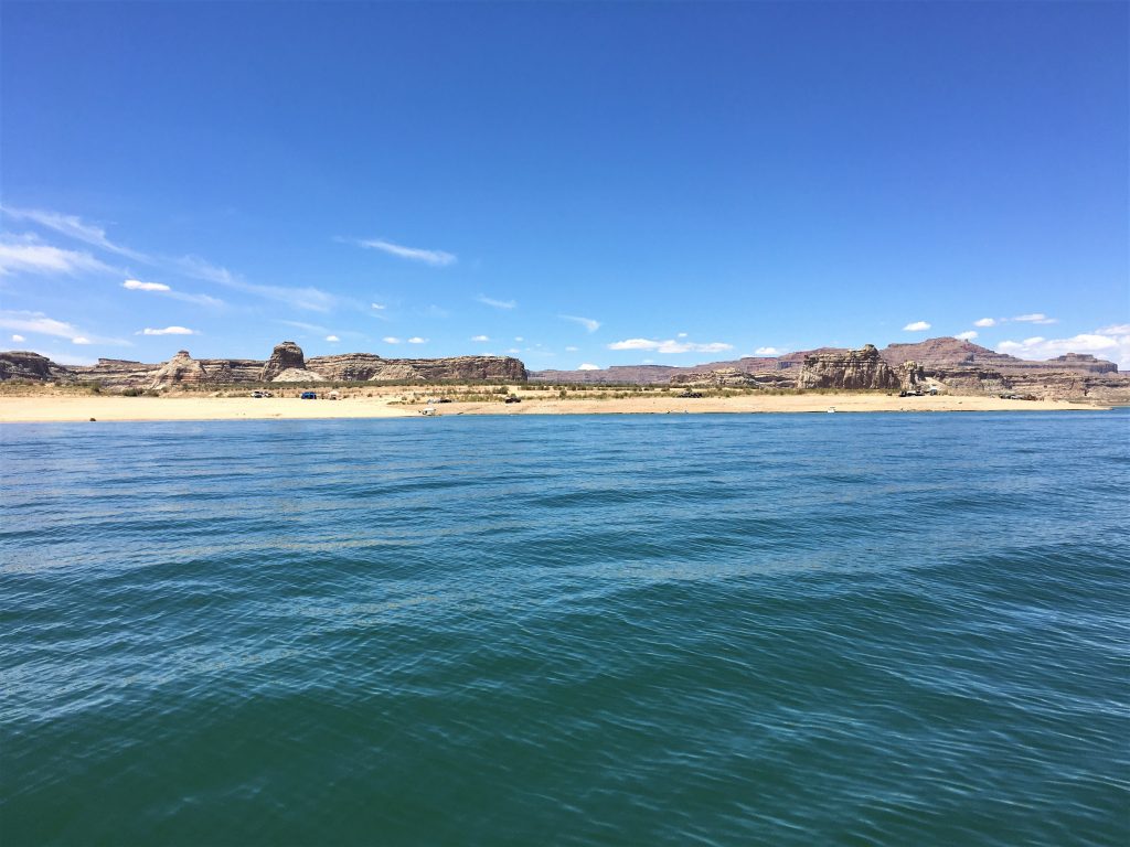
and some were even camping.
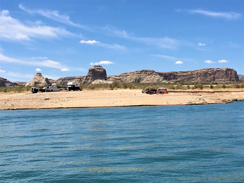
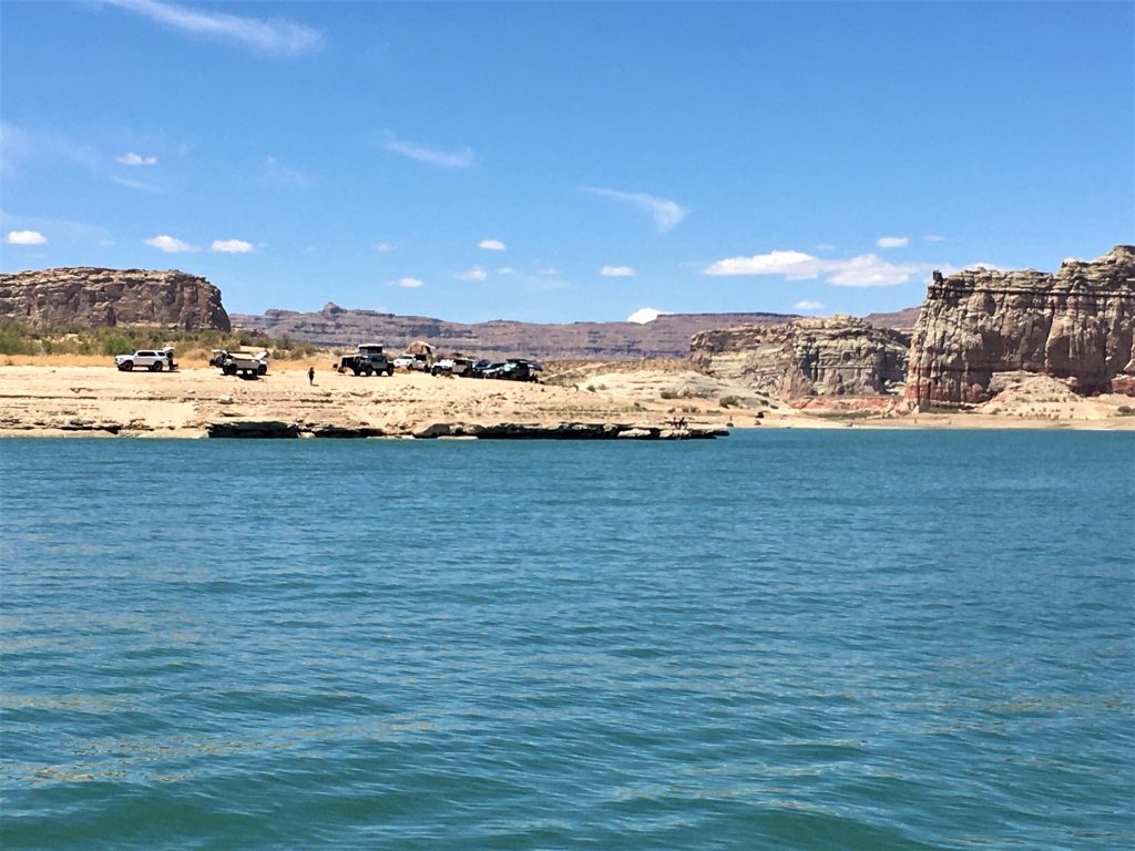
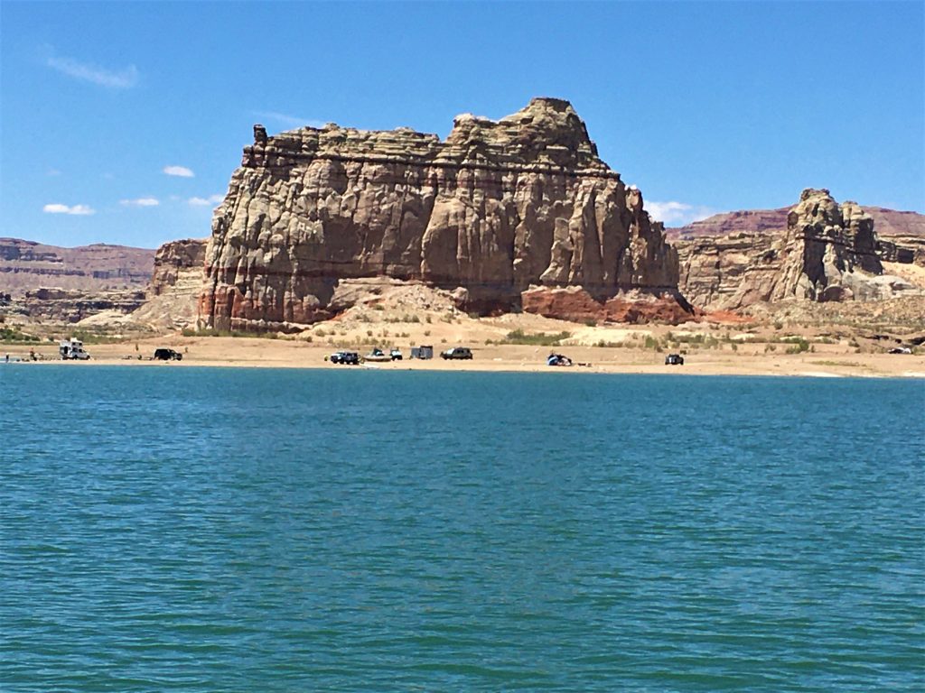
There were no problems of any kind today.
Until.
While I was driving. (of course)
Boom-shaka-laka!
We ran aground! Out in the middle of a huge bay. With no warning whatsoever. One second, we were in deep water, the next, there was a shale ledge. And no markers to tell us to avoid it. And no changes in the appearance of the water. And just to be fair, Blaine was standing right next to me looking forward and he didn’t see it either.
He cut the engine as quickly as he could and raised the outboard motor, but the damage was done. The prop was pretty beat up. And I can’t believe neither of us took a picture! Still worked, thank goodness! But it has to be replaced. And guess who gets to pay for it? Thank you, President Trump, for that stimulus check! We don’t know what the expense will be, but Blaine had to leave a $500 deposit this morning. Time will tell how much of it we get back. Good grief!
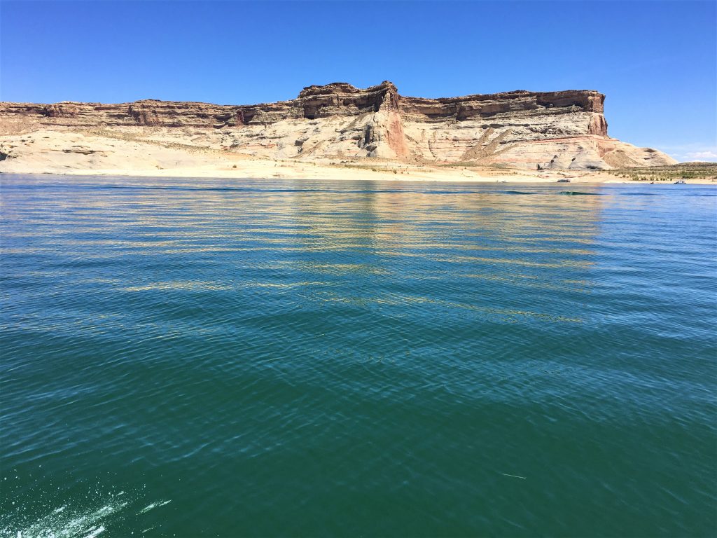
Still, even with that mishap, we had a marvelous day tooling around the Lake!
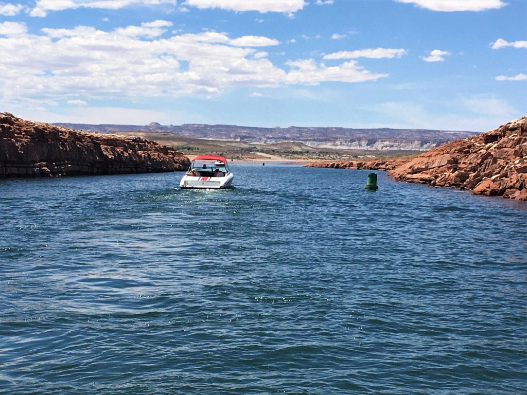
After all, we had a deadline to meet, and we sure didn’t want to be late.
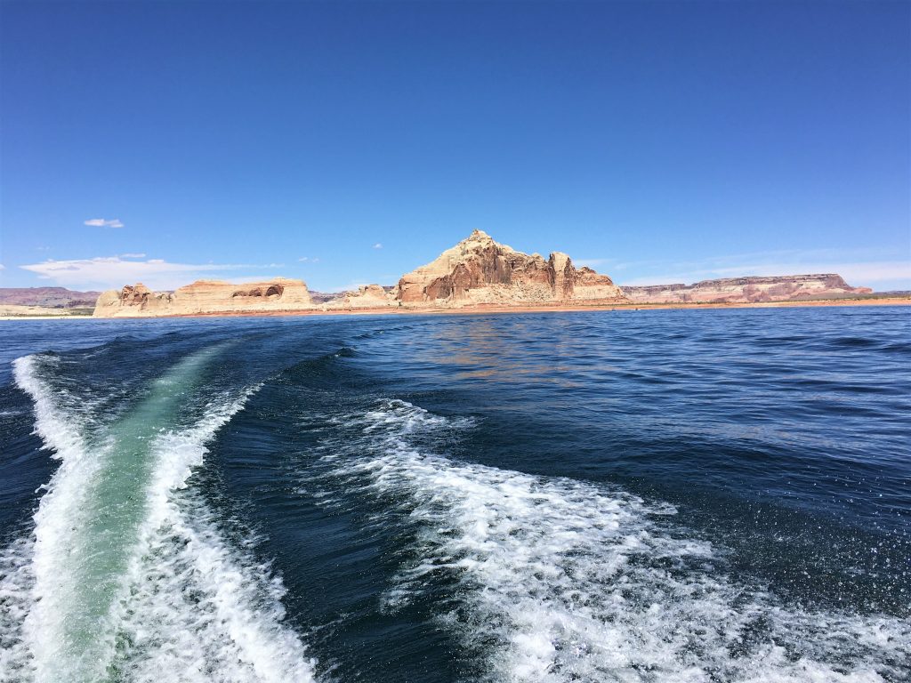
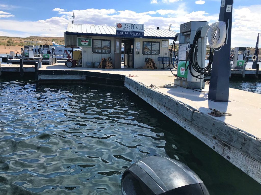
Dinosaur gas! It took a really long time because the pumps run slow.
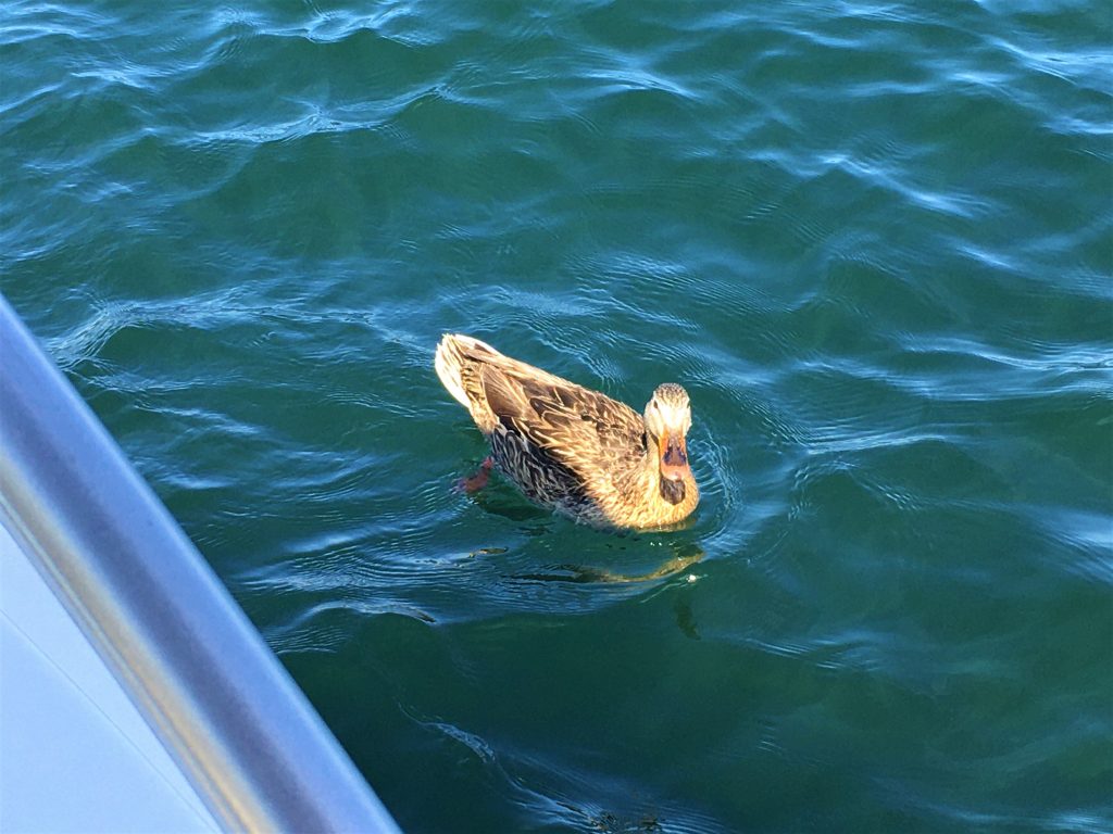
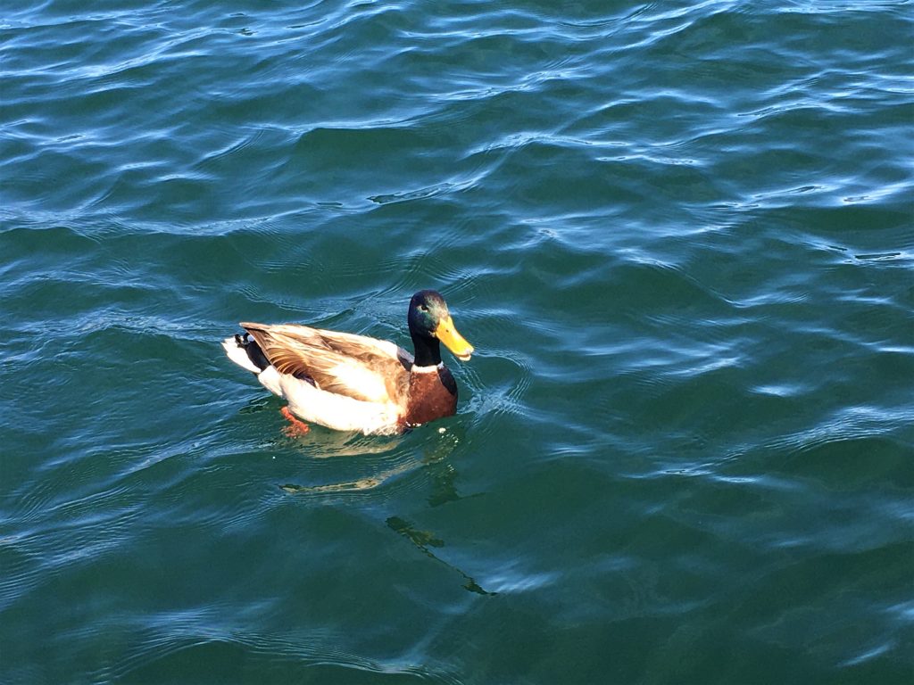
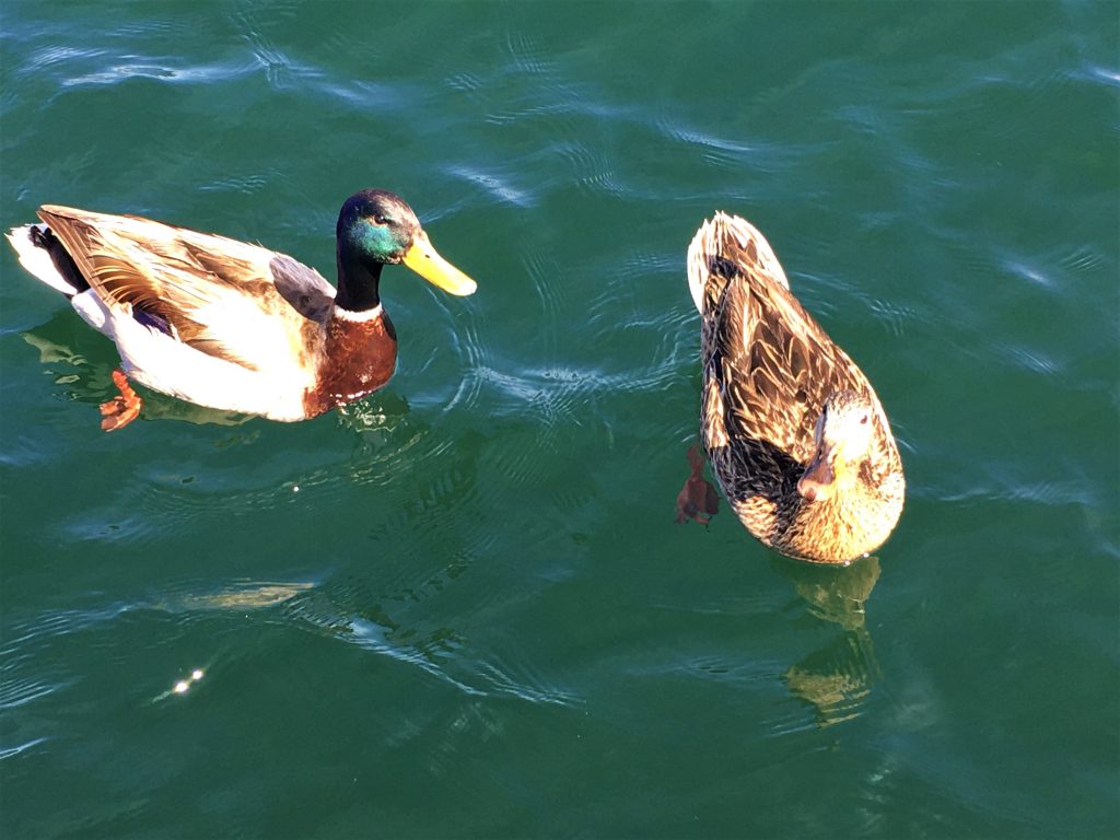
It was pretty obvious they were expecting a hand-out.
We saw a couple of very large fish too.
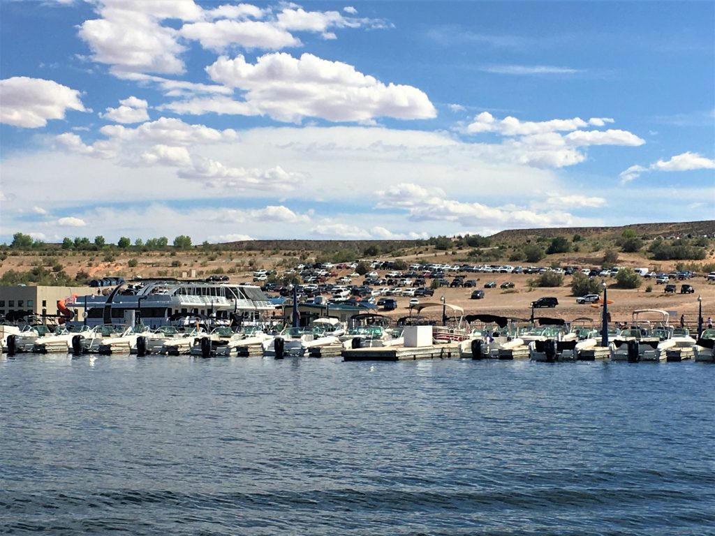
There was hardly anyone when we arrived this morning.
Editors note: Since Terri’s a week behind on the blog, we just found this out this morning, the marina credited our full $500 deposit back. They did not charge us for the prop damage.
What a blessing!
