There are signs up all around the area (by that, I mean the towns, etc.) saying, “National Park – Yes!” and “National Park – No!” It seems to be mostly businesses who say ‘yes’ and private residences who say ‘no’. We can see both sides – businesses would probably boom, but the residents would lose the peace and quiet they’re used to. It’s a tranquil, quiet, fairly isolated area. Jeff says he’s already seen an increase in reservations since the area was given National Monument status.
Quite a bit of “Jeep” driving, as Jeff said, but we saw some terrific views as you can see!
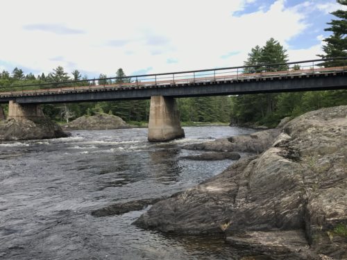
Before we crossed the bridge
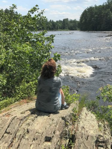
Enjoying the water before we cross the bridge and continue on
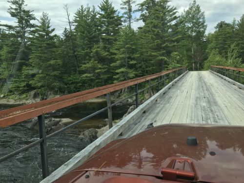
Crossing the bridge
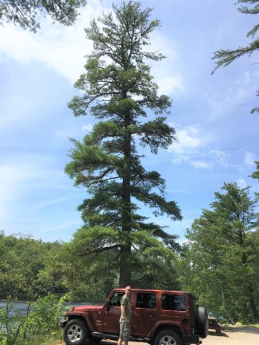
Another pull-off spot. A UPS driver was enjoying his break here.
I was just impressed with the height of the trees!
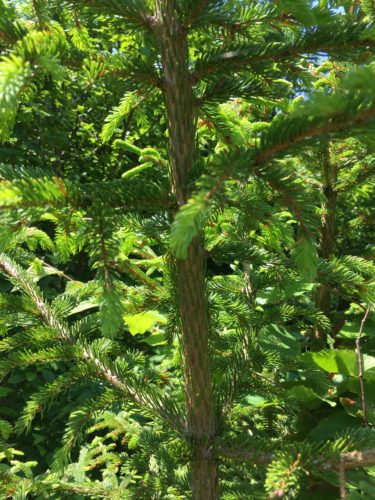
A different type of pine. The branches are covered in needles!
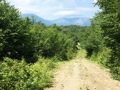
The road not taken
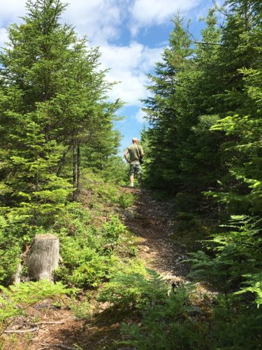
Going where the trail – and seemingly few people – leads
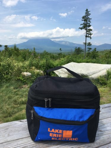
Lunch View!
That’s Mt. Katahdin with the cloud covering the top
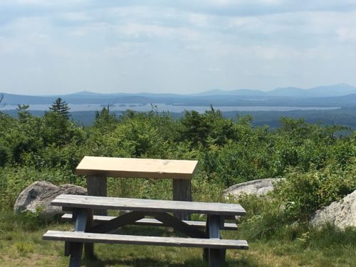
And if we turned to the side a bit . . . .
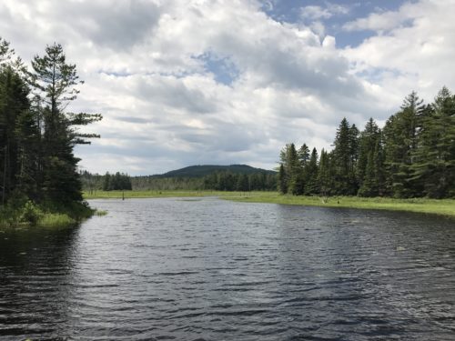
Another pull-off on the way back.
Still looking for the elusive wildlife!
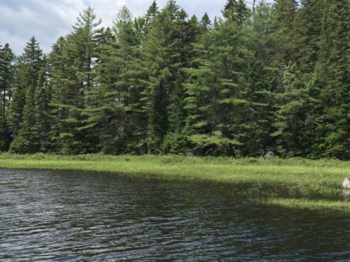
And then . . . . look close!
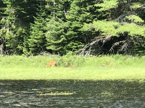
A deer! Different than the ones we have in Ohio.
But hey! It’s wildlife that’s different than the birds and bugs we’ve see so far!
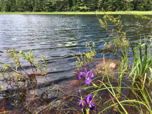
Same place, just wanted to add some color.
Wild irises!
After we got back, Blaine decided he wanted to try the one-man kayak they had laying with the canoes. He said it was fun, but he missed me. Awwwww . . . .
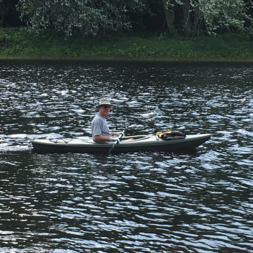
Ready to go explore!
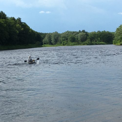
And away he goes . . .
I think it was really just the help paddling he missed. He wasn’t gone very long.
The next day was devoted to Baxter State Park. Again a beautiful area! And right next to Katahdin National Monument. It’s also a very big place! Blaine drove 102 miles and we hiked about 7 total! Since we weren’t Maine residents, we had to pay $15/car for the day. Maine residents are free. We more than got our money’s worth!
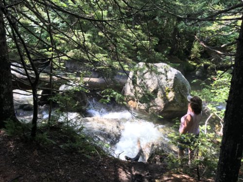
Along one of the trails
There are no pets, no motorcycles, no ATVs, and no guns allowed in the park. It too is a ‘pack in/pack out’ park and with all the places we were, no trash. Really . . . . Ohio needs to figure out how these other states do this! It’s not even just the parks that are clean. It’s everywhere!
The last portion of the Appalachian Trial goes through here. Here’s my facts for the day on that:
The 2,184-mile Appalachian National Scenic Trail follows the ridge tops of the Appalachian chain from Springer Mountain in Georgia to Maine’s Mount Katahdin. Hikers who walk the entire distance can expect to take 5 million steps over the course of several months. Shorter backpacking trips allow hikers to take a taste of the trail without committing to the whole length.
Thru-Hiking
Thru-hikers walk the trail from end to end in one session, spending nights in shelters or impromptu camping spots, resupplying in trail towns and cooking over lightweight camp stoves. Most hikers begin on Springer Mountain because the warmer weather in the South allows an earlier start and snow is rarely an issue. About 1,500 people begin a thru-hike in the South every year — one in four completes the hike. The trip takes five to seven months, depending on your condition and pace. While the Appalachian Trail is free, thru-hikers can expect to spend several thousand dollars on gear and up to $5,000 more restocking, doing laundry, buying meals in town or spending a night or two in a motel room.
Section Hiking
Section hikers take on the trail in small bites, be it a weekend or a month-long trip. Many complete the entire trail over the course of 10 to 20 years. “Flip-flop” or “leapfrog” hikers don’t attempt the hike from end to end. Instead, they begin in the middle or in a less-hiked section to avoid crowds or lessen human impact on the trail. Public roads cross the trail at more than 500 locations and most have a parking area for hikers who will only be on the trail for a few days. Alternatively, you can have someone drop you off at your beginning point and pick you up at the end. The trail is reachable by train at Harpers Ferry, West Virginia, and Pawling, New York.
Short Backpacking Trips
The higher elevations along the Tennessee/North Carolina border, in Maine and New Hampshire provide hikers with the greatest climbing challenges. Mount Hayes near Gorham, New Hampshire, provides views of the Androscoggin River Valley after an elevation gain of 1,500 feet in three miles. At the summit, the Appalachian Trail connects with the Mahoosuc Trail, a relatively unused path through the Mahoosuc Range. A nine-mile hike called Pinwheel’s Vista near West Milford, New Jersey, is mostly level with a few steep ascents. The trail winds through forest and along a stream, connecting with the Wawayanda Ridge Trail.
Longer Hikes
The National Park Service publishes a map of the Appalachian Trail showing the approximate locations of road crossings and parking areas, but if you’re planning to make multiple backpacking trips along the trail, it’s wise to buy a trail guide. The Appalachian Trail Conservancy’s (appalachiantrail.org) trail data book includes distances between shelters, road crossings and maps. Determine how fast you’ll hike — your physical condition, the state of the trail and the weather are all factors. Experienced hikers walk 25 or more miles a day, but plan on a more modest daily tally.
~copied from an online article by Meg Jernigan for USA Today
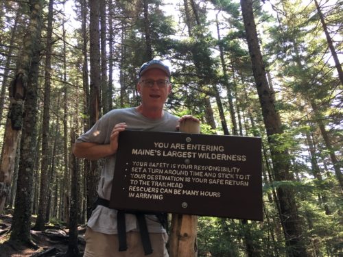
Part of the 7 miles we hiked was a portion of the AT. On the way to Little and Big Niagra Falls, we met Preacher. (apparently, AT hikers get nicknames) He told us about how hiking brought him back to the Lord. He’s 63 years young and married and although he didn’t hike the whole trail all at once – he left and came back where he stopped to finish up – he was just a couple of miles from completing the entire 2,184 miles! He said he’d prayed with 534 people along the way and wanted to pray with us to make it 536. Of course we said yes! Just a simple prayer, but how wonderful – and inspiring!
Here’s another thing we’ve learned in the past two states: You can’t judge the difficulty of the trails by Ohio standards! The park ranger told us about a great hike that was an “Easy. Literally a walk in the park.” Yeah, right! Only the first .2 miles of the 1.2 mile one-way hike. So no. We don’t pay any attention to what they call Easy anymore. We just expect that they’re all moderate to difficult. 😊
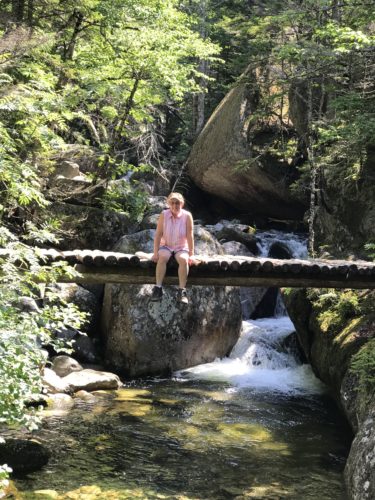
The bridge is part of the trail
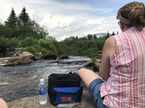
Lunch View
Just a little pull-off before heading out on another trail. The water is actually almost the level of the rock we sat on.
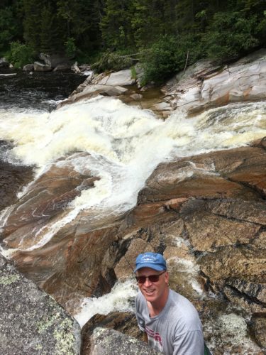
Little Niagara Falls. This was an amazing place!
We thought even better than Big Niagara!
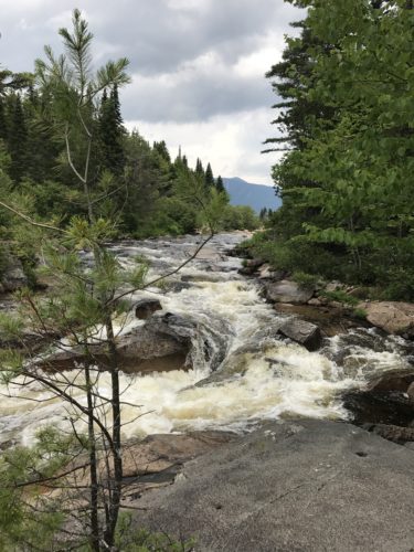
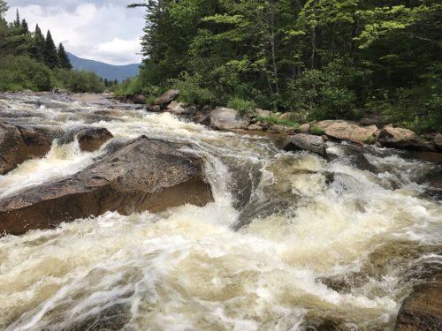
You could get up right beside the rushing water!
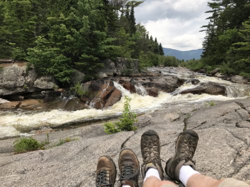
Blaine said, “Use this as the Lunch View picture. No one will know.” I hope he was kidding . . . Actually, if we’d packed his backpack, we COULD have had lunch here!
Here’s another video. Some day we’ll take the time to figure out a better way.
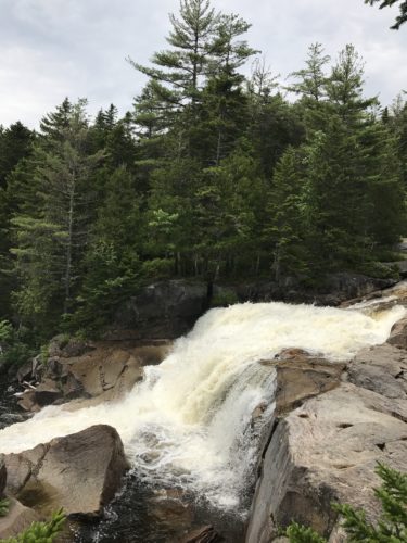
Big Niagara Falls
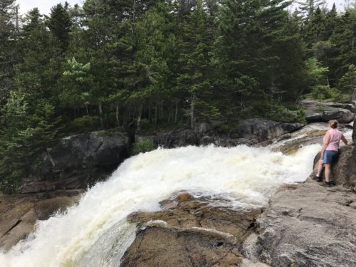
It felt incredibly cool here. Wind, water, spray. Nice!
I know some of you are probably getting a bit bored with yet another waterfall picture, but check out this gorgeous sight!
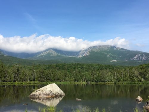
We were told moose visit this place and get in the water to eat and get rid of the bugs. Of course, we’ve been told we’d see moose ever since we crossed the New York/New Hampshire border. I’ve decided it’s just ploy to lure tourists . . . .
Blaine took an AMAZING panoramic picture here, but the blog wouldn’t let me upload it. So disappointing! It woulda blown your socks off!
The morning we left Medway, we took the canoe out early in the morning. I now understand why people like to fish. I can’t really explain the feeling of being out on the water so early in the morning. It’s the same feeling I had when we took our kayak out in New York. Peaceful, calming, and exhilarating all at the same time.
