O’Leno State Park, High Springs, Florida
Sorry folks! Puxatony Phil says 6 more weeks of winter! It didn’t feel too much like it today, but tonight our temps are dropping into the 30’s again.
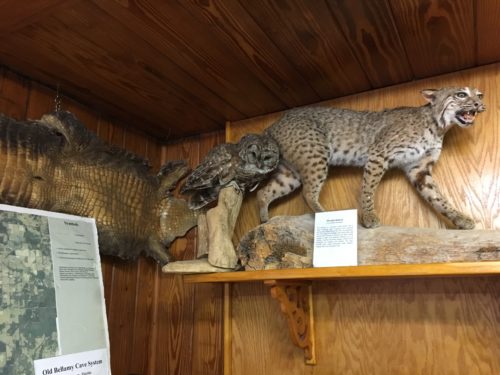
We began our day at the Nature Center where they have a few stuffed things, three live snakes (Yes. There are pictures.) and a Park Ranger who admittedly knows more about things that are dead, buried and over 50 years old. (His study focus was/is archaeology) 😊 I asked him about a stuffed hawk that looked a lot like the one we encountered only smaller. He spent some time in the books, but eventually gave up and told us to come back another day and talk to “Bob” who volunteers and knows about that stuff. Funny!
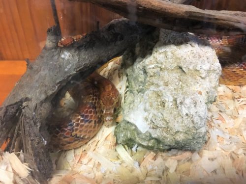
I forget what kind this is, but isn’t he gorgeous?
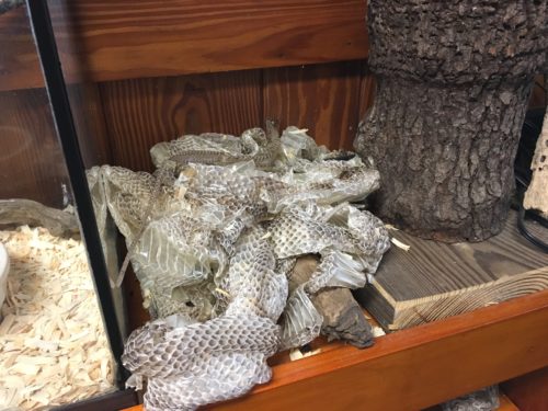
A pile of shed snake skins. : )
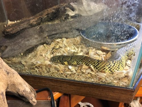
I think this was a King Snake
When we left, our only goal today was to walk the River Trail and find a place to sit and eat lunch somewhere in the Park.
This Park has an amazing feature! It has this (almost) roaring river that suddenly disappears! Not only that, but it reappears 3 miles later! Today our plan is to check out “The River Sink”. We’ll get to “The River Rise” another day as it’s about a 10 mile hike there and back. However, that being said, we believe you can also drive to it and that may happen tomorrow – just because we can’t wait to see it!
M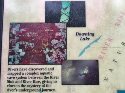
Since I have a hard time picturing this, I decided to explore Google Maps’ Satellite view. Then I decided to take some pictures of it to show you, too.
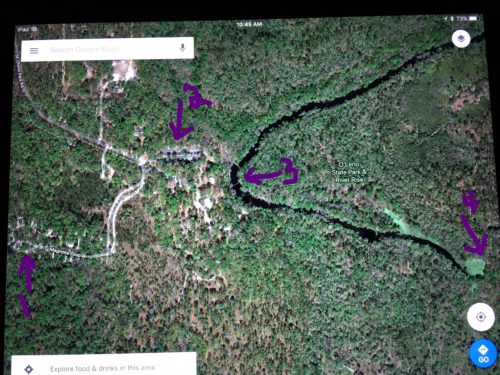
1. This is where our campsite is.
2. This is where all those CCC buildings are.
3. This is the suspension bridge.
4. The whirlpool and the River Sink.
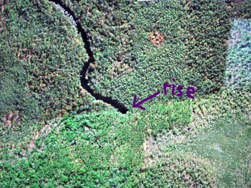
The River Rise, 3 miles away.
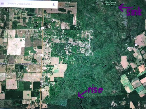
Here’s a picture of each end.
Don’t let the yellow words confuse you. Stick with purple. : )
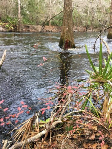
You’ve seen the river already. Hard to imagine all that water disappearing, but wait till you see it! First we have to get there.
Here’s some pictures and videos documenting our journey:
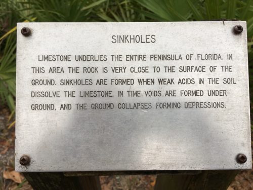
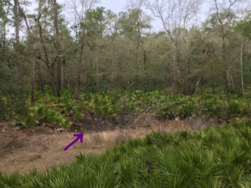
That’s a sink hole.
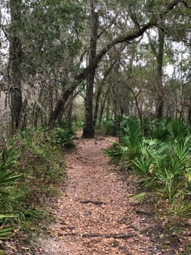
So what are you expecting to see? Did you envision a drop like a waterfall going into the ground? Or maybe a whirlpool like a giant tub drain? Or something else entirely? I thought tub drain. Especially when a teen girl coming back on the same trail told us there was a whirlpool ahead.
What we saw was even more incredible! At least I think so!
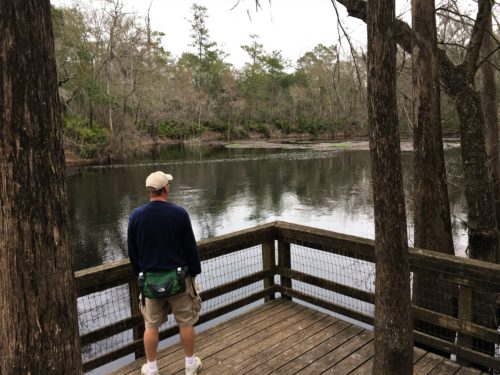
Yep. That’s it. It just kind stops. Can you believe it?!?
There’s this gently spinning circle of water and you can see stuff come down the river and get swept up in the circle. But eventually, it has to get sucked down because otherwise, there’d be waaaaay more stuff ‘circling the drain’. We didn’t see that, though. So strange!
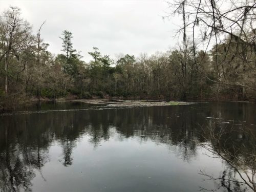
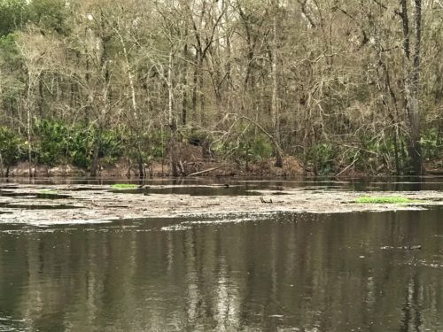
We were expecting the trail to continue around the Sink Point so we could get a better look, but it didn’t. Instead, it wound around and passed some other areas with water. Beautiful, but I admit, disappointing for us.
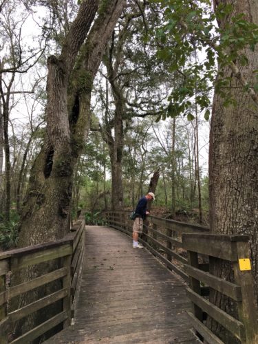
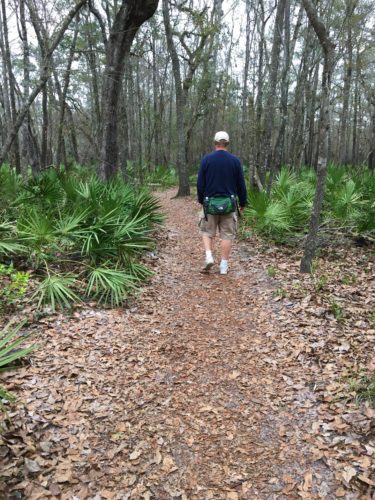
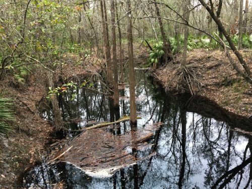
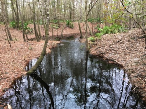
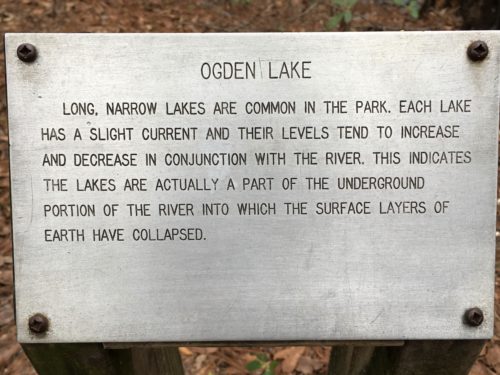
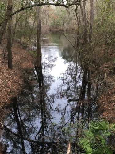
Ogden Lake.
There was a bench here so we could sit and watch for awhile.
Here’a a video of the bubbling here:
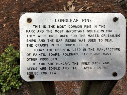
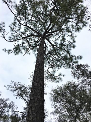
Long Leaf Pine
Sorry, but to us, it looks like a lot of other pines we’ve seen.
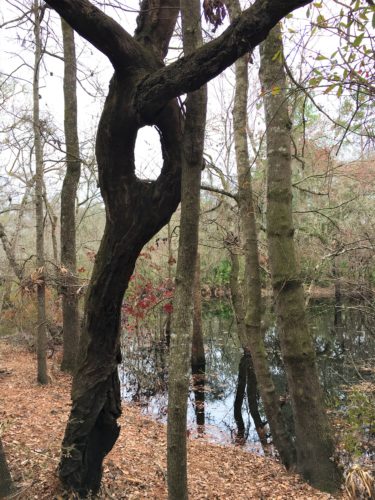
Isn’t that something!

Lookin’ a little redneck today, Terri . . .
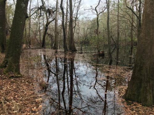
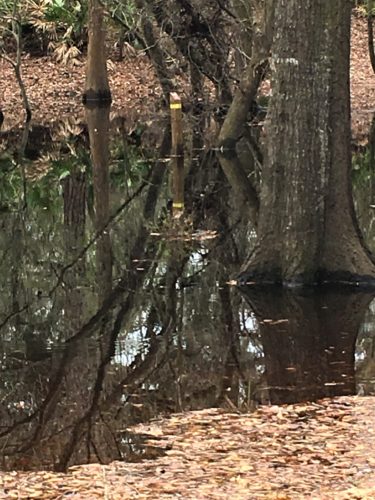
We’re supposed to be following the Yellow Trail Markers.
Well. There it is.
Don’t think we’re goin’ there. . . .
Actually, we think it’s an old marker.
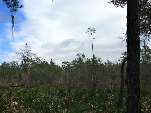
This tree was enormous standing out there all by itself!
As we got around to the river again (it’s a loop trail), we stopped to admire the water and a man coming the other way stopped. We talked (well, mostly he talked 😊) for about 20 minutes. He’d already been in the area for awhile and had a few tips for us. Gratefully, one was for a really good burger joint and another was about the 10 mile hike! And he had a map we didn’t have that was in color!
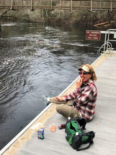
Back to the bridge and time for lunch!
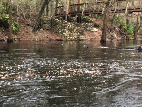
Lunch along the Santa Fe River
Next up? A long walk to the check-in booth to get a new map!
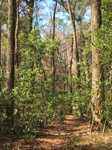
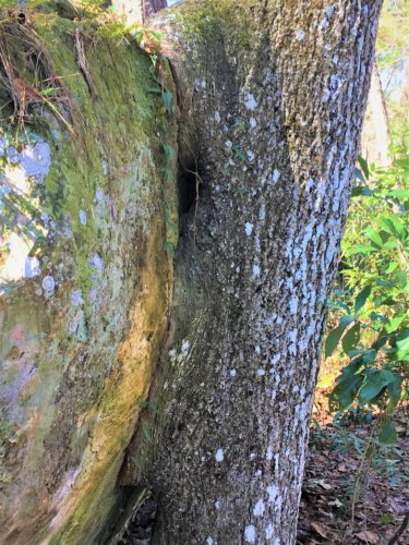
A tree leeching onto a rock!
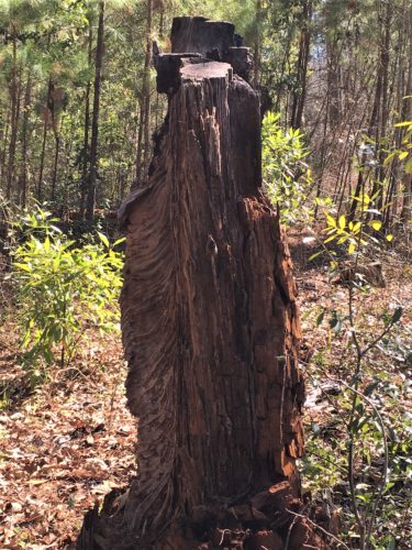
Interesting stump!
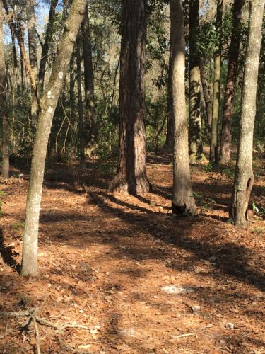
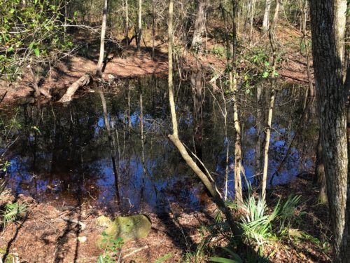
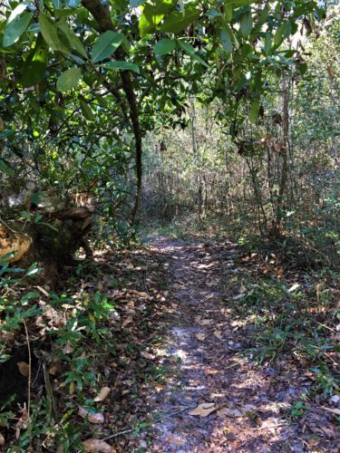
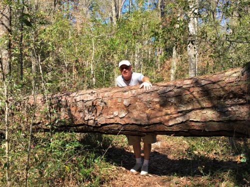
too high to go over, too low to go under. What do you do?
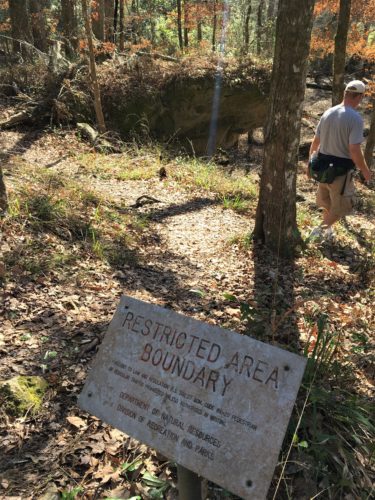
There he goes, bucking the system again . . . .
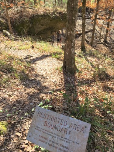
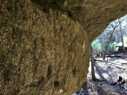
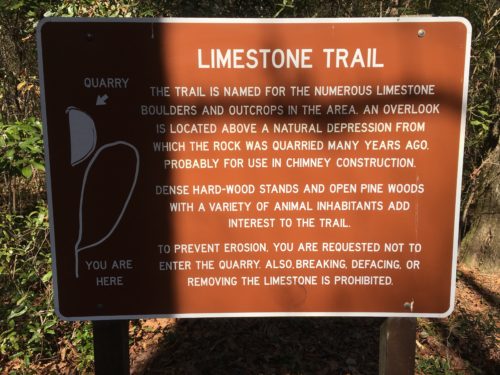
This is it for the limestone quarry.
If we’da known that, we may not have taken the .6 mile loop trail!
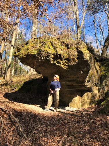
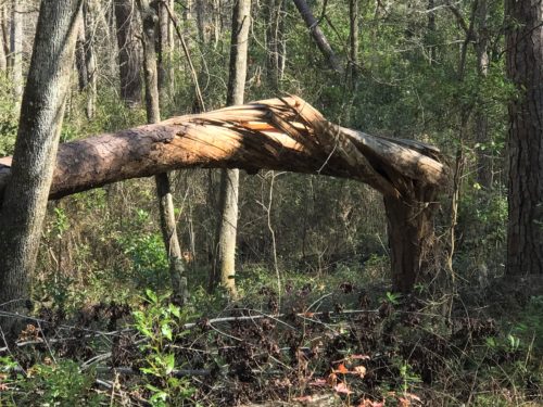
The twisted tree.
Pretty incredible considering nothing else is damaged.
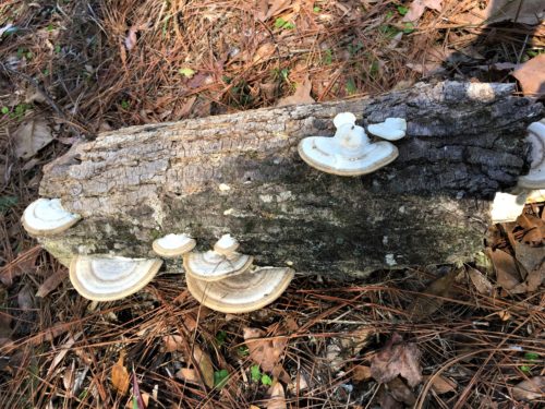
And some signs we passed along the way:
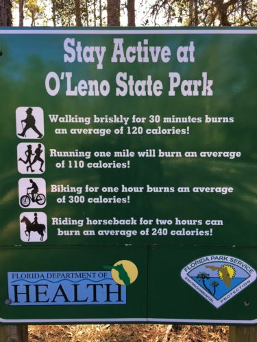
OK. First of all, we need to ride our bikes more.
Second, how do you burn calories on a horse??????
Actually, we looked it up because we just couldn’t believe it. It’s because you have to use so many muscles to stay on the horse.
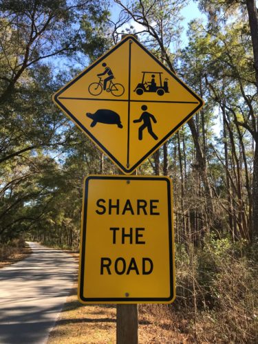
Here’s a sign you don’t see every day! : )
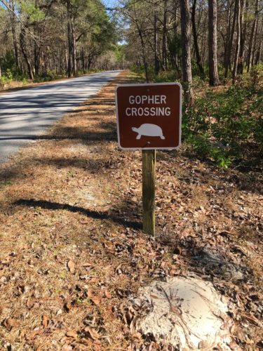
This one either!
They’re called gopher tortoises because they burrow in the ground.
There was a volunteer (I’m guessing since he didn’t have the Park uniform on) who told us there was no such thing as a colored map. Well, sorry pal, but we’ve seen it with our own eyes. Thankfully, the Ranger who checked us in heard us talking and told him where it was.
Then it was off to home. Whew! Why does this day feel so tiring? Must be from the tension of waiting for Phil to make his appearance! Time to put our feet up for a bit!
TOTAL MILES: 5
Year to Date: 110.5
Daily Average: 3.34
