O’Leno State Park, High Springs, Florida
We didn’t leave until after lunch, when we hopped in the Jeep and headed out to see what we could find on Bible Camp Road. Yes, there really is a Bible Camp out here! We were looking for a place to put the kayak into the river and spent the drive speculating as to how we could manage getting back to get the Jeep (or kayak) once we were done, because there’d be no way we could paddle back up-stream. But going down sure would be fun!
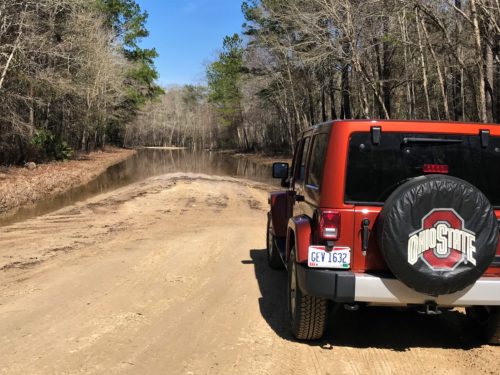
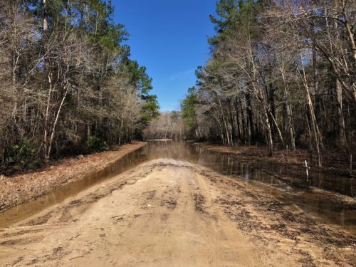
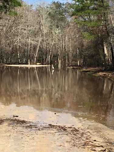
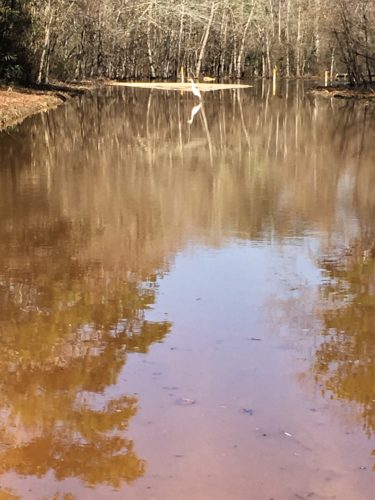
Anyway, we thought we’d done it until – – – we hit a big problem. The road to the put-in spot was full of water and there was a “Road Closed Due To Water” sign. We went around the sign (of course!) to check it out and found a lot of water. Since we didn’t know how deep it was, we weren’t willing to chance driving through it. Plus, the road was made of sand. Plus while we were stopped, an egret landed and started fishing in the middle of the road. Probably not a good sign.
We’d been told to check out Old Bellamy Road and the interpretive trail that was there and that the Road was built by slaves in the 1800’s.
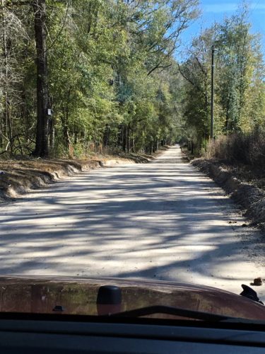
The road to Old Bellamy.
We hope.
This is part of the Florida State Park Service, however, there were no signs to tell us where the trail was, nor how long it was!
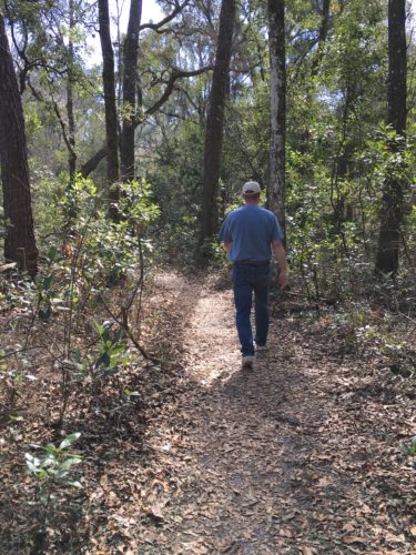
We parked and walked a bit.
No signs or anything, just something that looked like a trail.
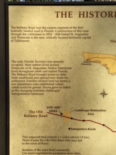
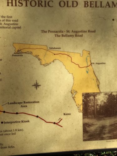
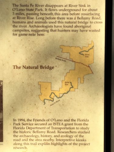
We discovered an information board, but still nothing to indicate where the interpretive trail was, or how long it was.
The only map we ever found was an equestrian map that had nothing on it except a few numbers that meant nothing to us. I guess horse people don’t care where they’re going . . .
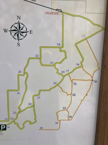
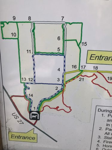
We managed to find the start with the help of a couple who’d just come back.
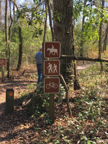
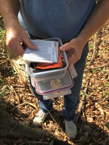
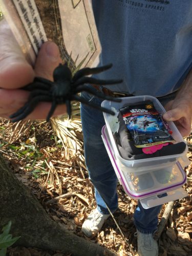
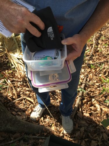
Right after we started out, Blaine noticed a tin box. Geo-caching! Interesting . . .
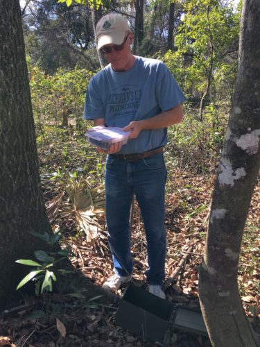
See the box? Lower right.

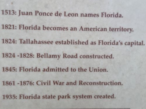
There were some interesting pictures and information on the signs. One in particular mentioned a reconstruction of the original road. We were expecting to see an example of how it was done – a dissected side-view if you will, or at least an example. There was nothing. Maybe there used to be. The signs, as you will see, are pretty old. And you’ll be happy to know that I didn’t take pictures of EVERY-thing. : )
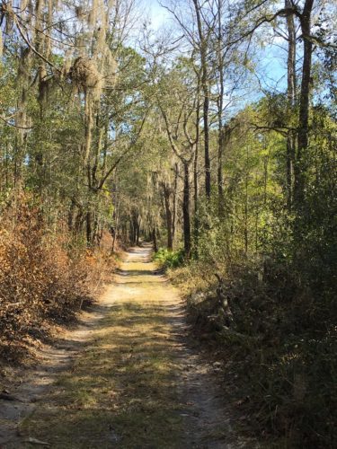
On the way to the first board.
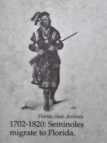
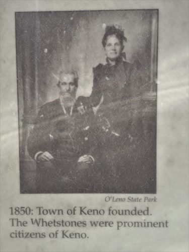
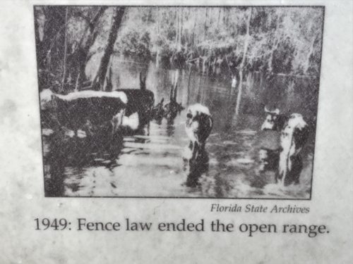
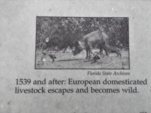
I’m pretty sure this wasn’t taken in 1539. But I guess they’ve been wild for a long time.
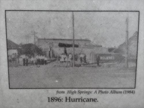
I don’t know what this one shows. It doesn’t look like a hurricane picture to me. I’m assuming it’s an aftermath picture?
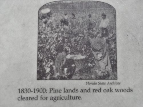
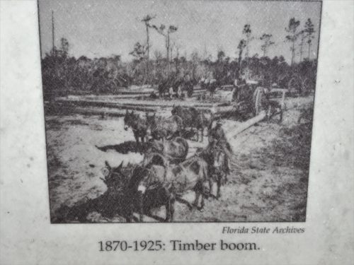
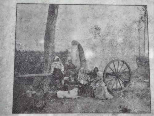
No date. I just thought it was an interesting picture.
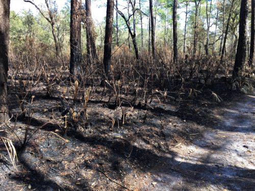
Another scheduled burn area.
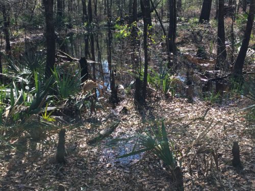
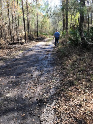
For some reason, this section was really muddy.
On the way to the next board.
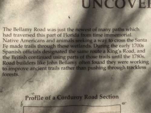
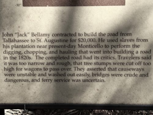
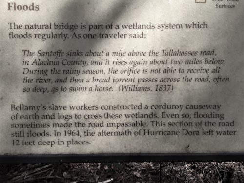
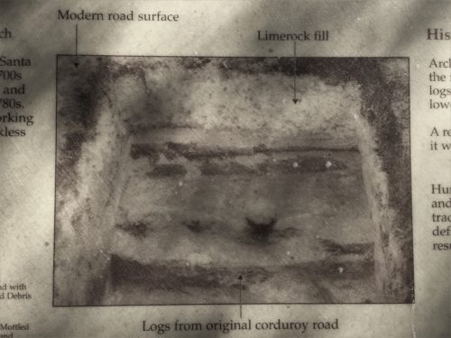
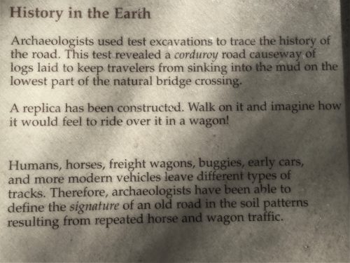
See the middle line?
“Walk on it . . .”
There was nothing to walk on.
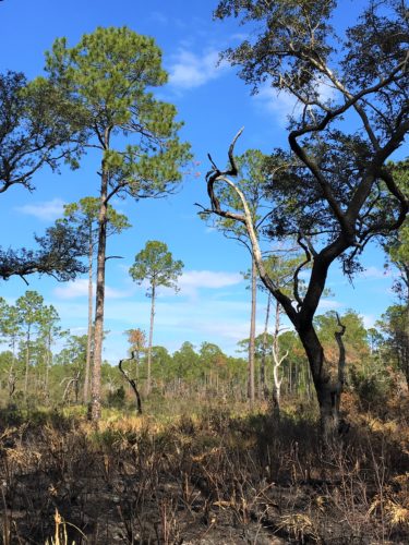
Once we thought we’d finished the trail, we decided to explore, hoping we’d eventually find our way back to the parking lot. Pretty place, with some pretty interesting nature to see and hear.
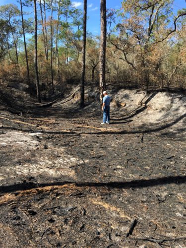
We think this is a sinkhole.
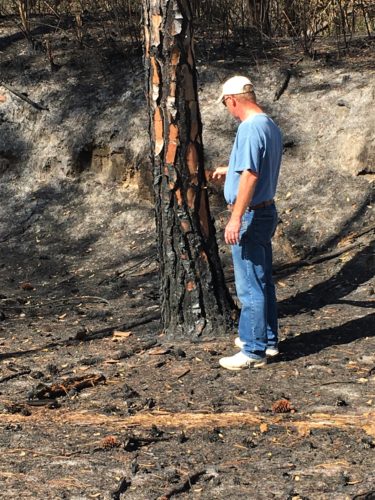
Picking. . .
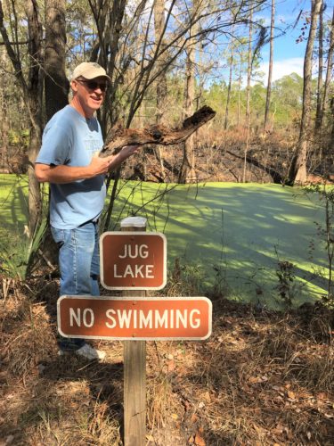
We found Jug Lake!
Of course there’s nothing to tell us where Jug Lake is, but at least we can tell by the sign we’re still in the Park!
Not sure who’d want to swim in that . . .
Blaine’s getting ready to heft that log into the water.
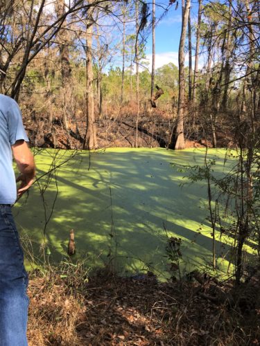
There it goes!
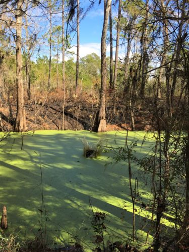
Splash down!
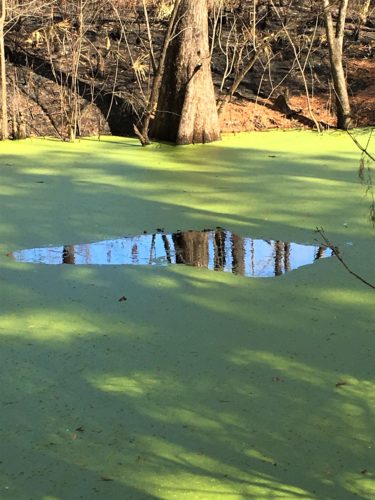
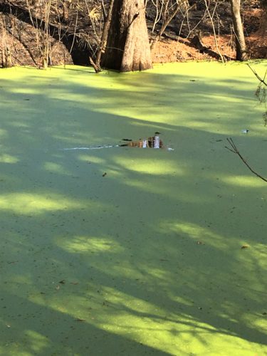
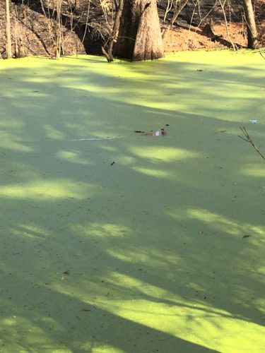
It took less than 2 minutes for the hole to close back up.
Kinda creepy to watch . . .
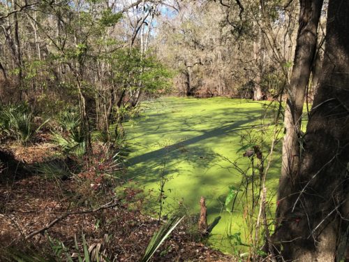
It was a pretty large swath of algae.
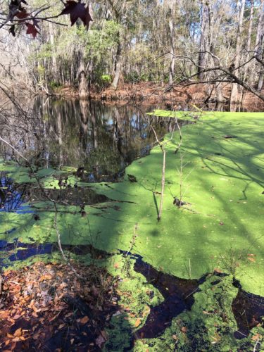
The edge of the algae (or whatever that green stuff is).
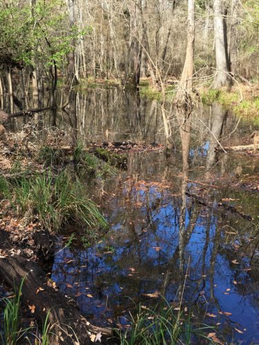
The rest of the lake.
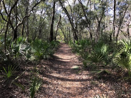
Continuing the exploration
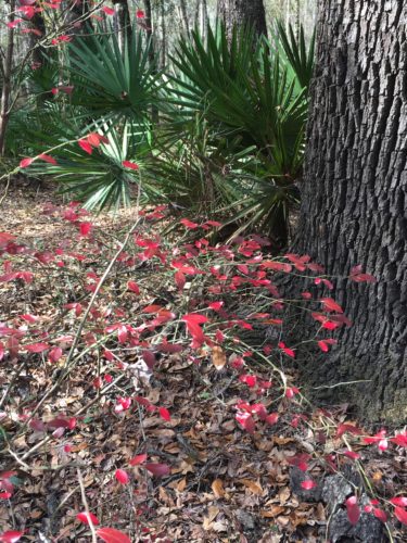
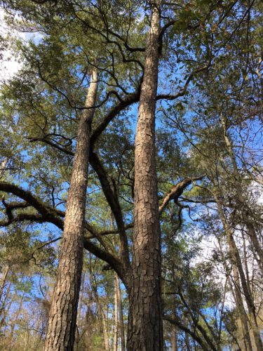
It was so quiet here! All you could hear were the whispering pines and an occasional jet that was a very long way off. Take a listen if you’re interested:
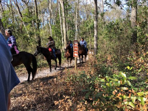
As we were approaching the end of our journey, we ran into some riders. We didn’t hear where they’d been (they were talking to a biker), but we heard them say they thought they might be swimming and the horses had mud half-way up their legs.
Once we found the Jeep again, we decided to go in search of The River Rise. It was supposed to be close to where we were, but again – – no signs!
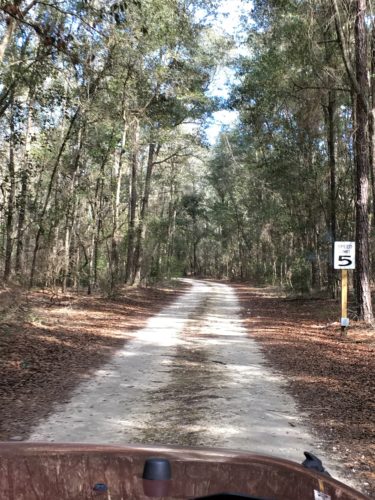
The road to where we hope is The River Rise
The road was a bit Jeepy!
We found the parking lot – – no signs to the viewing area. A lady drove up and asked what we knew, which was nothing. As Blaine was searching Google Maps, she drove back to us to say she’d called the Park and they said it was a mile down this road that left from the parking lot, and then she left. Left the Park left. How nice she came back to let us know!
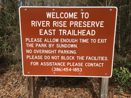
Ok. So we’re in the right place at least!
How do you know when to get back if you don’t know how far you’re going?
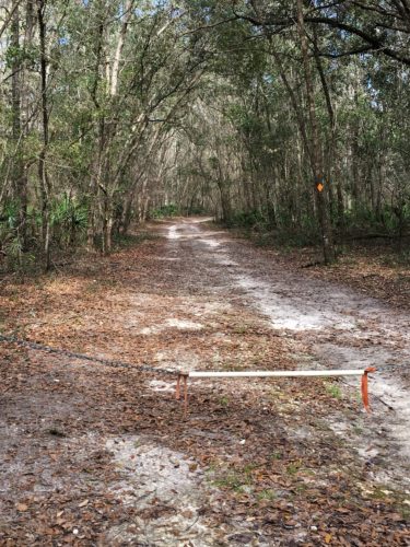
Here we go!
Eventually, we passed another couple coming back who told us to keep going. Well, that’s fine – – until we came to a fork in the road! No definitive signs!
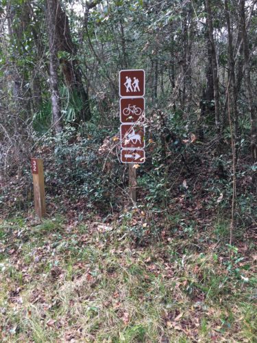
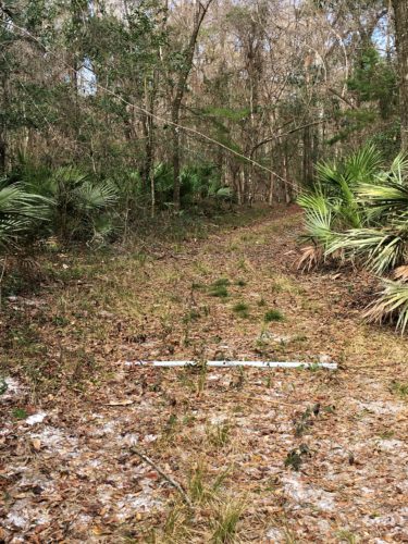
Ooops! Wrong way!
Thankfully, after only a short walk, we realized we were on the wrong trail!
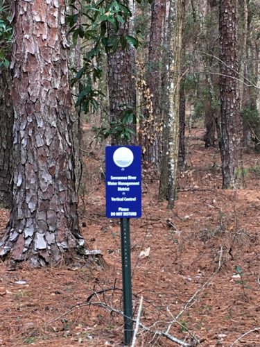
Funny to think this Santa Fe River is a tributary to the Suwanee. : )
Stephen Foster State Park is only 30 minutes from here!
And here it is! The River Rise!
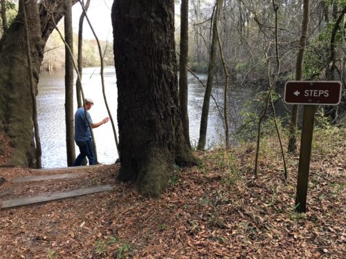
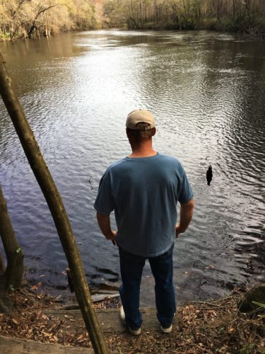
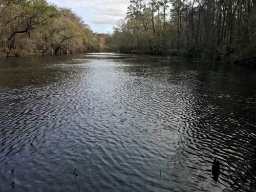
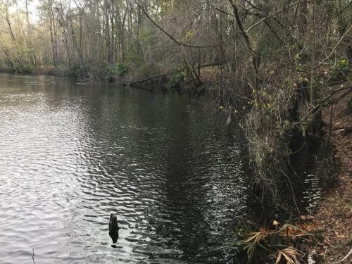
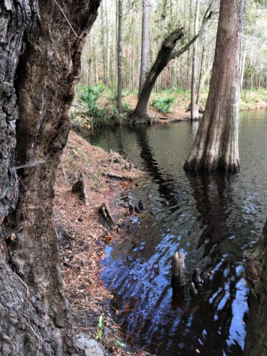
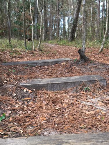
These are the steps we came down.
Funny to think we were walking over the water!
Interesting since we know what it is, but unless we get really, really bored, I can promise you there’ll be no 10 mile hike to see it again. The Sink is much more interesting. Maybe if the river was running low instead of high it would look different?
I thought I’d be able to find pictures of the inside of the “tunnel”, but I couldn’t, though I tried my best! I wonder if it’s because of the brown-tinted water?
Time to head back and grocery shop – – again! Super Bowl’s coming up!
There was a talk on the constellation Orion this evening at 7pm, so we walked over to the Nature Center (the place with the snakes) to learn something new. There were two other couples there plus the volunteer and his wife who gave the talk.
There were 48 named constellations before the birth of Christ, and 40 more later as people navigated the globe and got into the Southern Hemisphere. There are still a total of 88. He talked about the distance of the stars and light years and told us the temperature of a star is revealed in its color – red tinted ones are cold, blue are hot.
In 150 A.D., the Greek scientist Ptolemy published a book, containing a summary of Greek astronomical knowledge, including a catalog of 1022 stars, with estimates of their brightness, arranged into 48 constellations. These 48 formed the basis for our modern constellation system.
Over the years, astronomers have added constellations to fill in the gaps between Ptolemy’s figures and map the uncharted regions of the sky near the south celestial pole. Major contributors of new constellations included Dutch cartographer Gerardus Mercator in 1551 and Pieter Keyser and Frederick de Hautmann, navigators aboard some of the first trading expeditions to the East Indies in the early 1600s, who mapped the southern sky. Polish astronomer Johannes Hevelius in 1690 and French astronomer Nicolas Louis de Lacaille in the 1750s filled in the remaining gaps in the northern and southern skies.
We went outside to find Orion, but for the most part, it was too cloudy. They may try again on Tuesday and said they’d let us know.
TOTAL MILES: 5
Year to Date: 115.5
Daily Average: 3.39
