O’Leno State Park, High Springs, Florida
Today’s agenda was a visit to Ichetucknee Springs State Park. (Itch-TUCK-knee = we were told it means “beaver pond”, named by the Seminole Indians, but we never saw any. Beavers or Seminoles) We only heard of this place because of a brochure we picked up when we checked in to O’Leno. It says:
Take a cool, relaxing tube float or snorkeling trip on a steamy summer day, or a serene, soothing canoe or kayak excursion on a calm winter day. (that’s us…serene and soothing… winter…)
The ever-flowing, clear aquamarine waters providing a view of the river bottom’s fish and plants is what makes the park a “natural wonder.”
…or scuba diving at Blue Hole Spring to depths of 40 feet.
An astounding daily average of 233 million gallons of water flows, from several large springs to form the Ichetucknee River. The 72-degree, crystal-clear river travels six miles before emptying into the Santa Fe River.
It sounded intriguing, so off we went! It’s 24 minutes away. (Blaine requested specifics 😊)
We took the kayak along “just in case”. We really didn’t know exactly what we would be doing, but we packed a lunch. Can’t take a chance of going hungry! 😊
We paid our “honor system” $6 to enter the park and used the map in the brochure to try to figure out what we were doing.
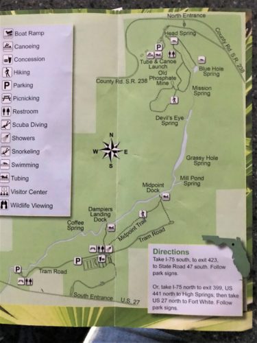
Blaine wanted to try to get the lay of the land, and since there was hardly anyone around, we chose to walk the Nature Trail, but we were ever mindful that what we really wanted to do was scope out kayaking opportunities!
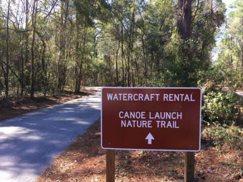
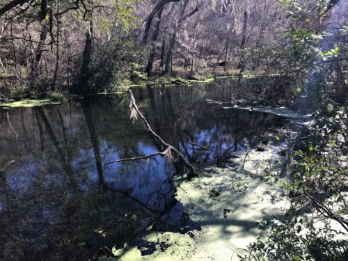
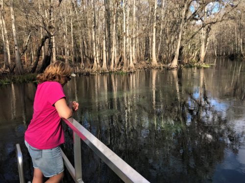
Our first look at the Ichetucknee River
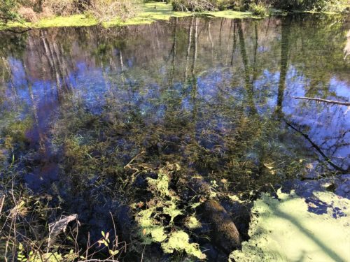
The first place we found was the first launch site near Head Spring. This is where the Ichtucknee River begins its 6 mile trip through this State Park to join the Santa Fe River – 3 miles of which is within the State Park boundary.
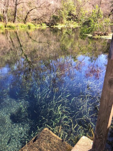
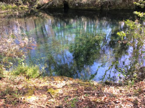
WOW! What a sight! The pictures aren’t bad, but they really don’t show how clear this water is! Now we are really excited to get into it!
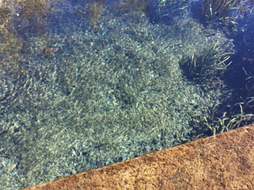
This is the first launch site.
Easy to put a kayak in here!
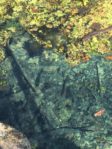
See the fish? And the grass?
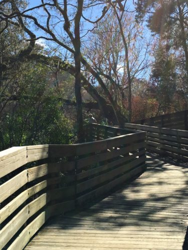
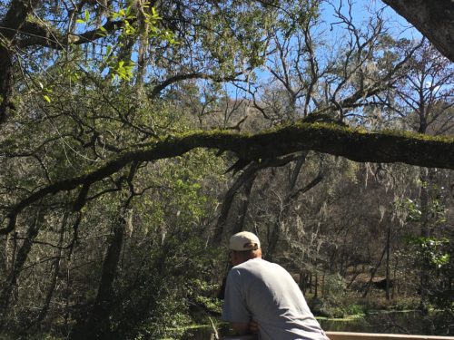
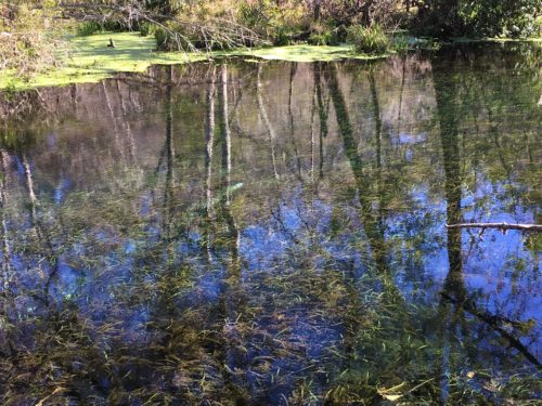
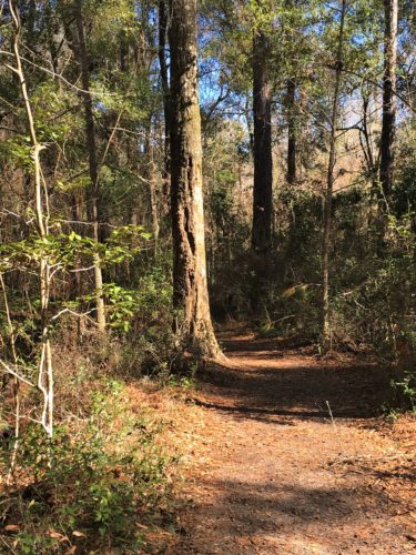
But first, more walking. Much of the trail was just, ‘eh’. Probably because we weren’t by the river and having seen that . . . well, you know where I’m going with this. There were two loops to the trail, but we only did one.
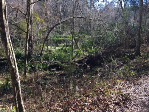
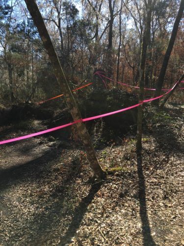
Recently downed tree
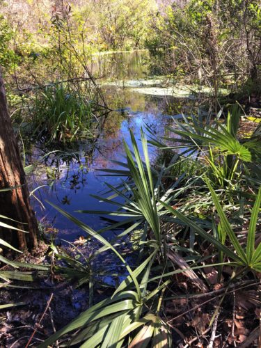
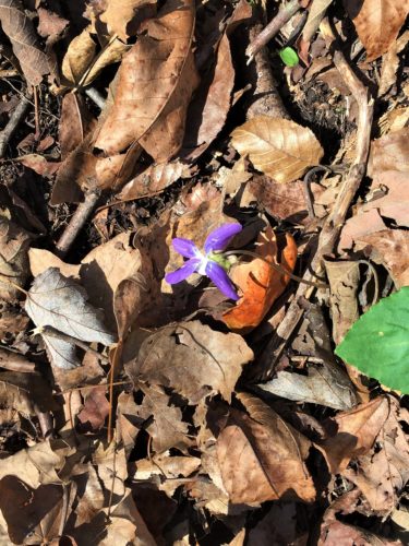
A lone violet
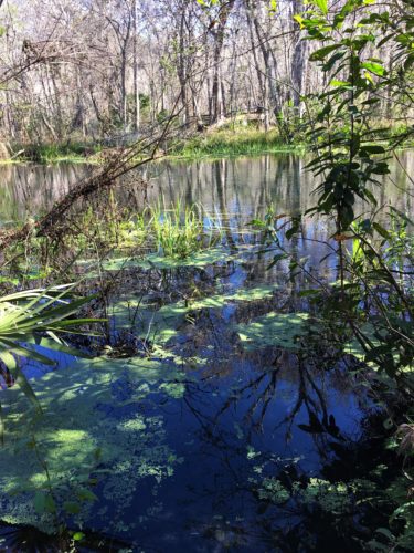
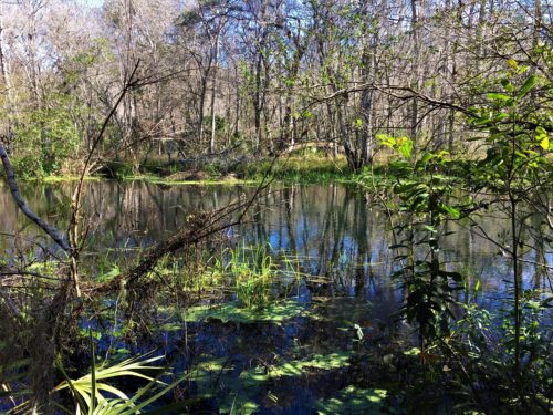
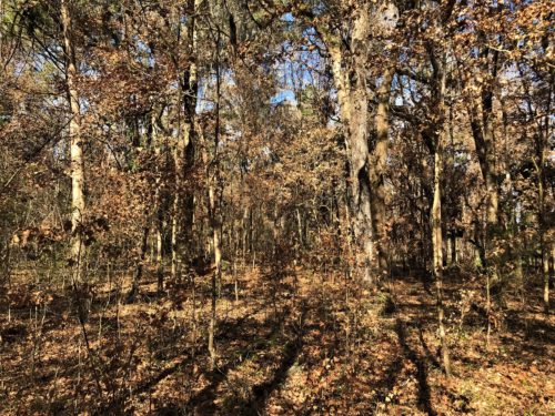
This area was just odd looking.
All the leaves were on the trees, but they looked dead. Hmmm . . .
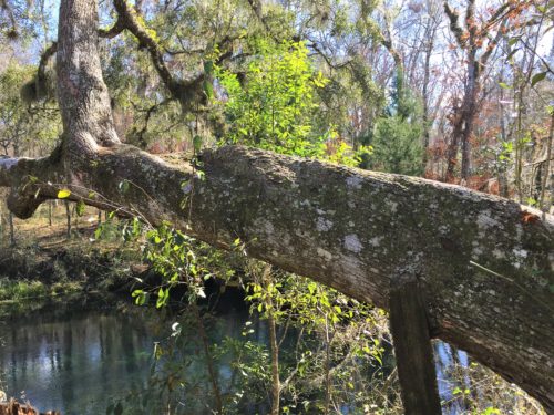
See how the tree grew around the post?
Pretty cool!
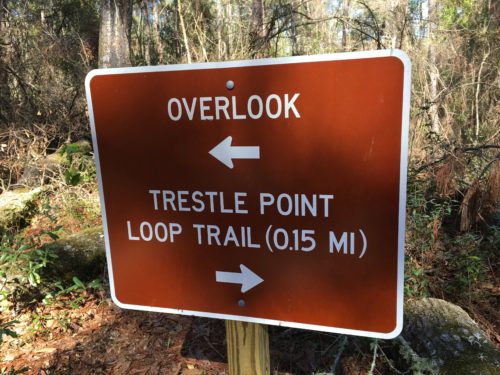
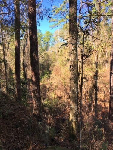
Here’s the overlook.
Maybe it’s exciting by Florida standards?
Then we walked over to check out Head Spring. Gorgeous!
Evidently, people swim here. There are rock steps and a man-made ‘dock’ area with a lifeguard chair, but no one was manning it. Probably because there seems to be hardly anyone around the Park right now.
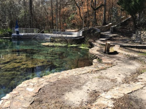
Head Spring
See the lifeguard chair?
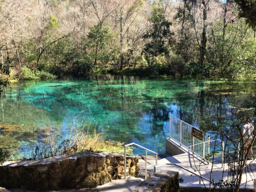
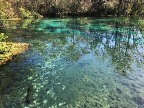
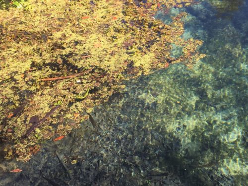
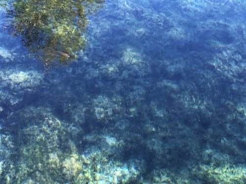
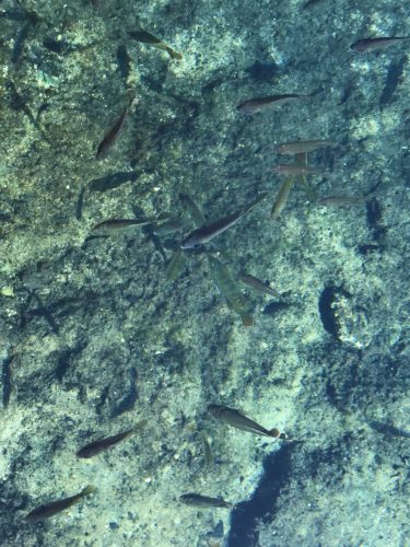
These springs are so beautiful, I search the internet to find you better pictures! (and some information, of course!)
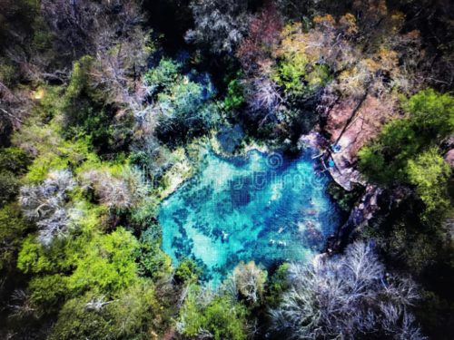
Aerial view of Head Spring.
It’s about 75 x 100 feet and as deep as 25 feet.
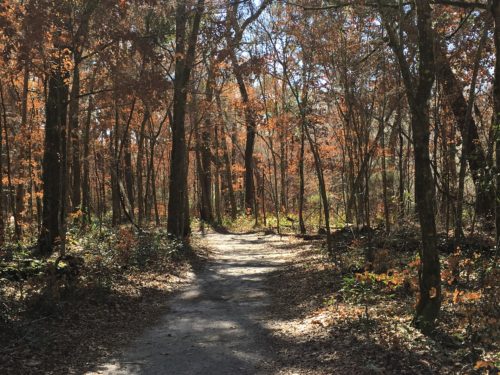
On to Blue Hole Spring. To get there, we had to walk a 1/3 mile long boardwalk and then a bit of a trail.
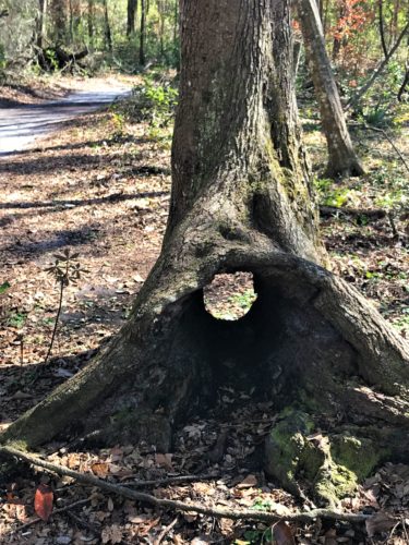
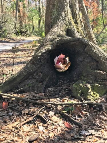
Silly girl!
They had an information board on the way:
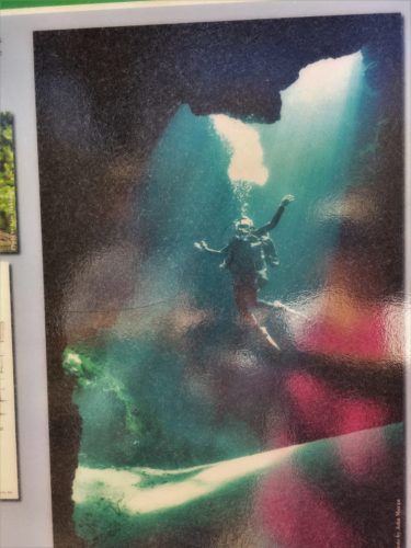
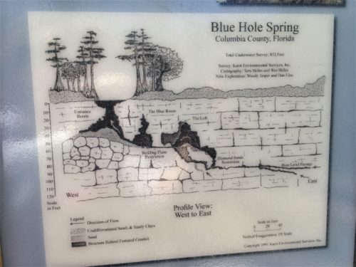
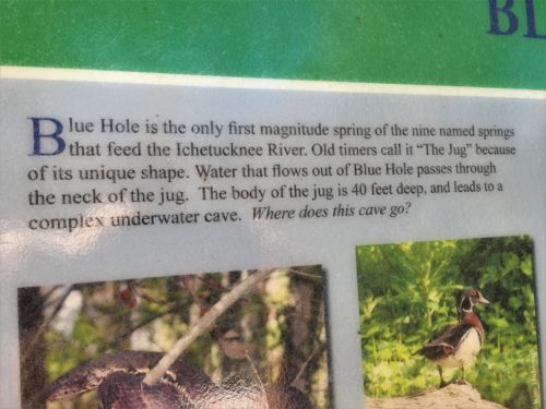
Here’s what it means to be a ‘first magnitude spring’:
Springs are often classified by the volume of the water they discharge. The largest springs are called “first-magnitude”, defined as springs that discharge water at a rate of at least 2800 liters or 100 cubic feet (2.8 m3) of water per second.
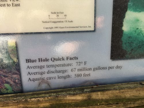
And a warning one:
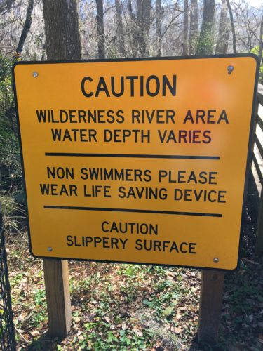
It’s the largest of seven springs that feed the Ichetucknee River. They did a study at some point that shows that it pours out 26,668 gallons of water per minute! And it’s stunning to look at! But not according to our pictures. : ( So thankful for Google!
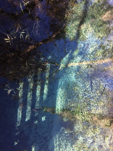
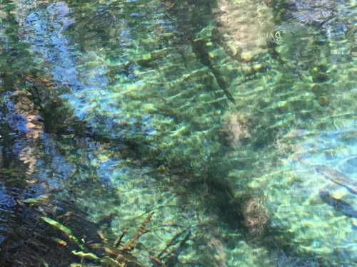
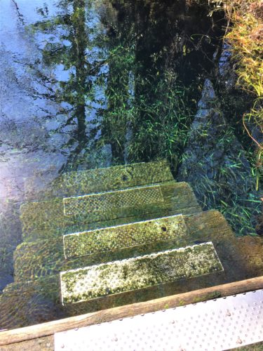
Steps going into it. Look how clear!
Here’s a video of the spring bubbling up:
Keep in mind, when you look at these internet pictures, the water is 40’ deep! Also, I can tell you that the pictures really aren’t doctored for color. I truly looks like this!
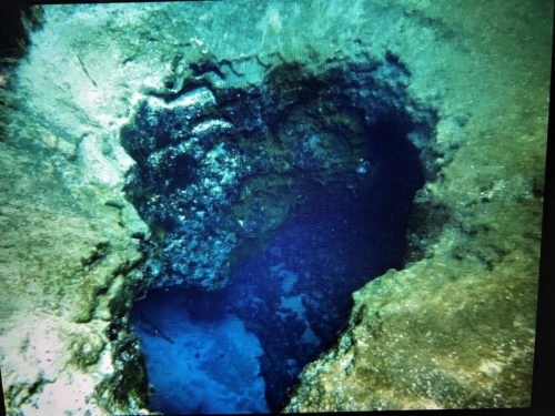
Aerial view of Blue Hole
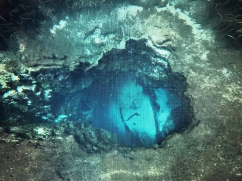
See the diver at the bottom?
A quick lunch and change of clothes, then back to the dock to blow up the kayak and head down stream. There were others getting ready to enter the water, but we managed to get ahead of them because we heard them say they were eating lunch first.
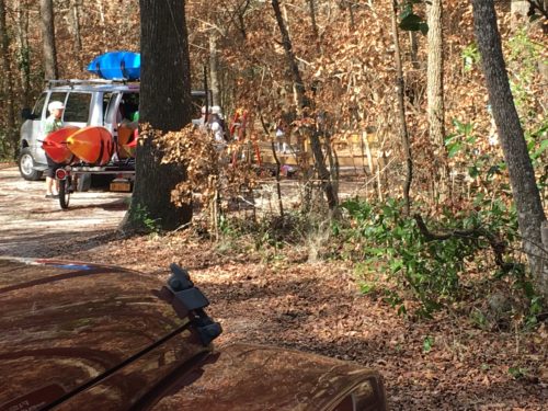
Oh my!!!
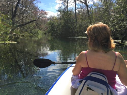
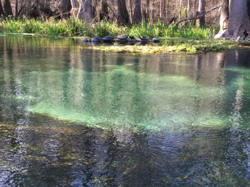
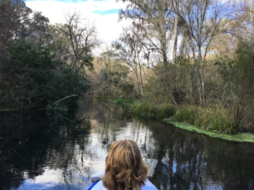
It was so beautiful and quiet! And because we were headed downstream, there was barely any paddling needed.
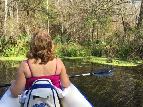
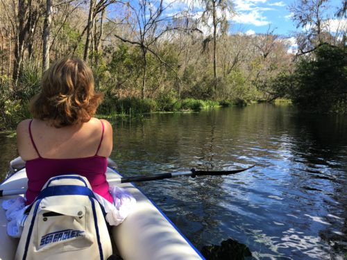
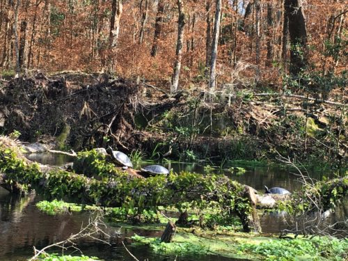
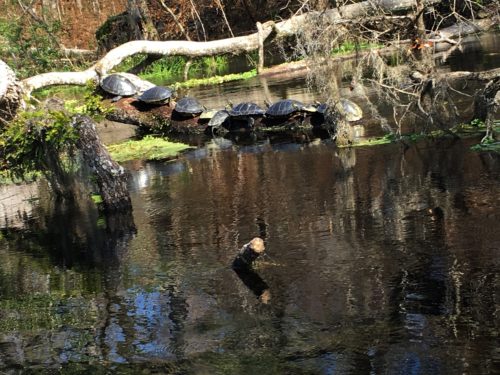
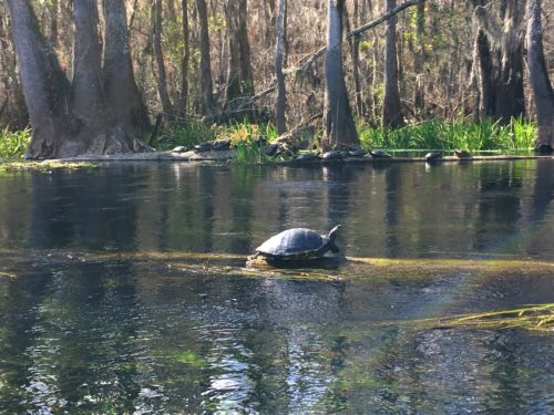
Most of what we floated past were turtles. They were so commonplace, we’d simply say, “Turtles on a log!” There must have been hundreds of them! We took a lot of pictures, but not quite that many. 😊
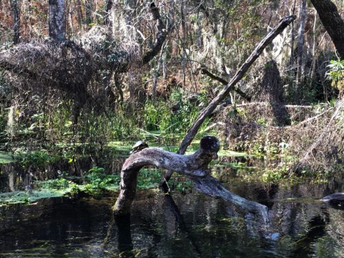
Look how high some of them climb!
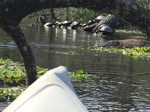
Turtles on a log . . .
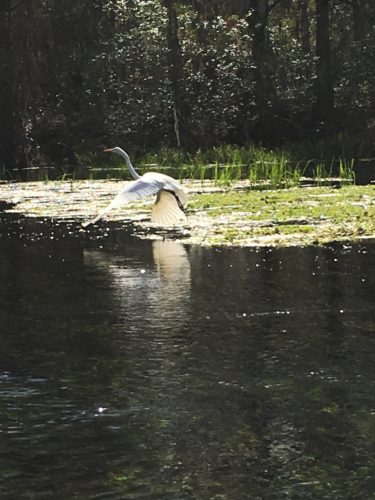
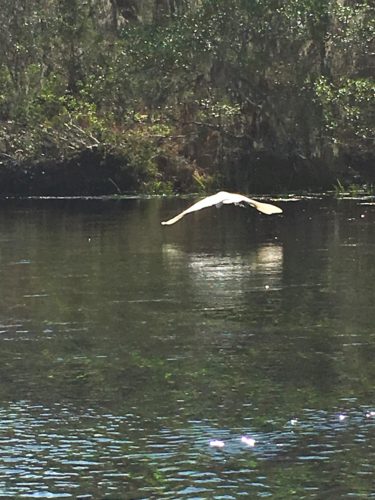
There were egrets
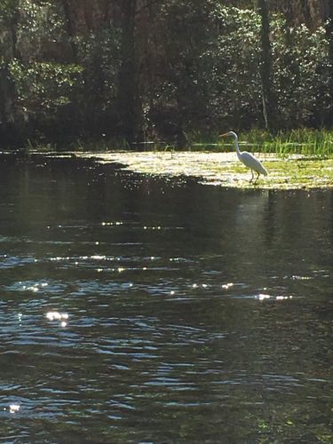
Most of the time they didn’t let us get close before flying away. : (
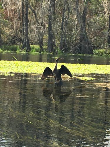
And ‘swimming birds’ both fishing and drying their wet wings.
And fish, including this one area where they were jumping out of the water! They looked to be about a foot long and jumping three feet in the air in an arc that spanned about 10 feet! It was one of those times you wished you could stop the boat to watch longer, but the river just keeps on rolling and there was no place to pull over.
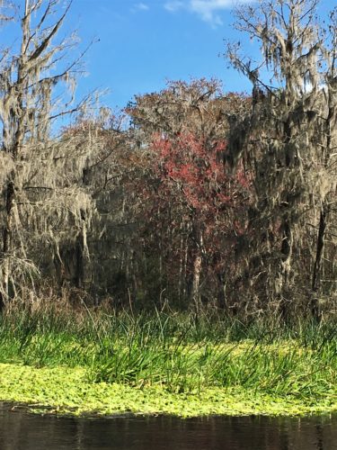
And then there was the gorgeous scenery!
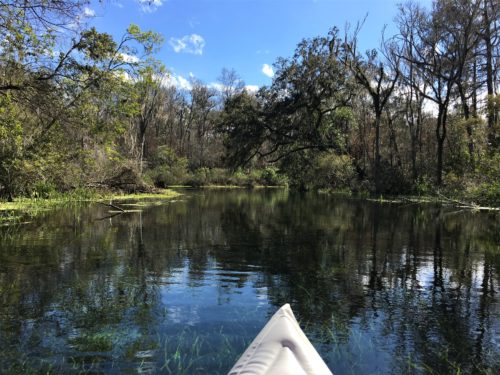
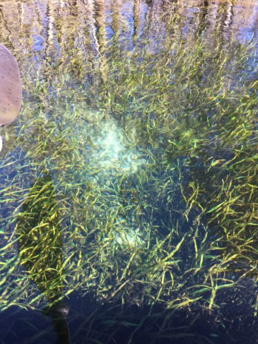
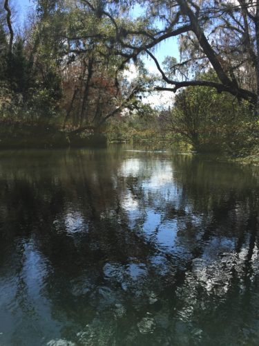
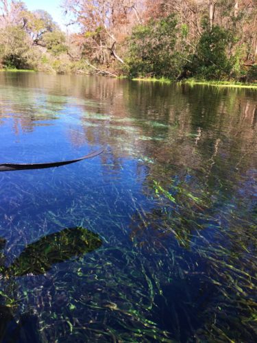
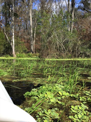
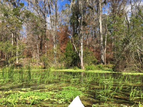
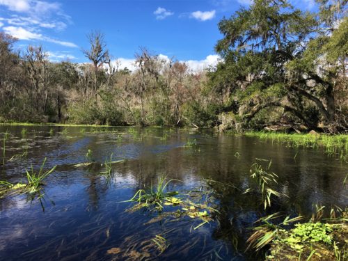
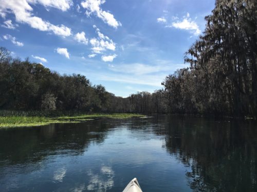
We floated down by the Blue Hole area, but you can’t get near it in a boat as they had a fence up – but there were some turtles we scared off their log.
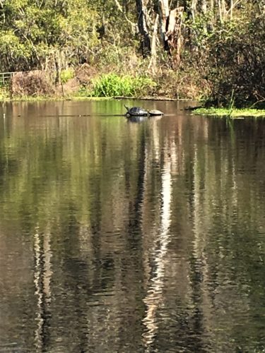
Two . . .
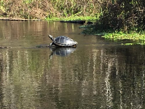
One . . .
And then there was none . . .
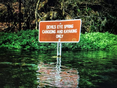
And there was a short detour to Devil’s Eye Spring. This place was equally incredible to see, but again, difficult to stay in one place! Blaine kept trying, but his efforts also stirred up the water making viewing more difficult. When we tried sitting still, the water pouring up from the spring forced us towards a tree branch. OK if you’re in a hard-sided boat, not so ok if you’re in an inflatable!
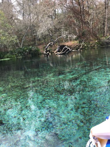
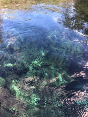
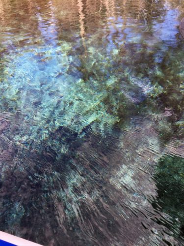
Shortly after we passed this spring, we felt like we were traveling faster, so Blaine did a test. We turned around and tried to paddle back up stream and met with more resistance than he was comfortable with. We had always planned on floating a while than paddling back up. We hadn’t looked into making arrangements to be picked up anywhere, and there aren’t very many places to even do that on this river. An inflatable is subject to the water resistance as well as the wind. Either one/both are difficult to fight. We can manage for a bit, but then you just get worn out and at times, you can make very little if any progress. As difficult as it was to leave, it was time to head back.
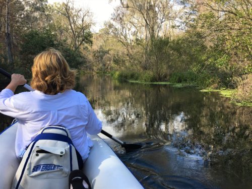
Time to put the shirt on since we didn’t use sunscreen today.
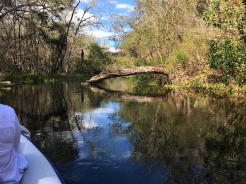
On the way back, (once we got back to the slow part) people kept asking us if we’d seen the manatees. We didn’t and we didn’t know anything about them. Darn! Shoulda kept going I guess!
We packed up and drove to the Dampiers Landing Dock, which was further downstream (Midpoint was closed for reconstruction/renovations) and provided another option for our next trip. Yes, we’re definitely going again! Turned out to not be an option. The walking distance to the parking lot was just too far – probably a good ½ mile! The kayak weighs 38#. We can only carry it so far. And because of the narrow wooden boardwalk, Blaine would have to shoulder it in the bag.
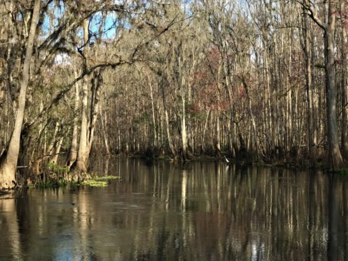
Looks completely different here!
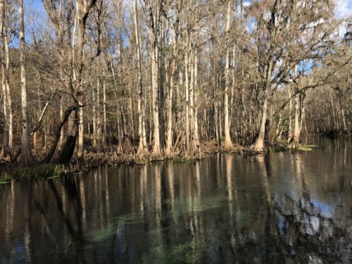
Our last stop for the day was the South Entrance. You can’t get there through the Park, you have to go out and around – a one mile drive.
According to the map, the South Entrance has the final ‘take out’ spot for the river making the float downstream a 3 mile trip. We needed to see of we could carry out without too much distance. We’d seen on the map that there was a tram road that went to it, but we didn’t know if it was operational this time of year.
The place had a ginormous parking lot! And it was all but deserted with only one or two cars in the lot. Why they need such a huge lot is beyond our understanding – at least today.
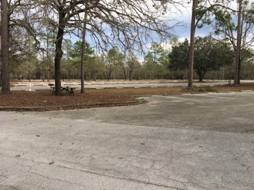
This is only a very small portion!
The map showed another parking lot down here near the river, but we couldn’t find it and although the gift/snack shop was open, no one was around. We coulda walked out with T-shirts for everyone and a few candy bars, too! 😊
By the time we were ready to leave, we finally saw a woman enter the shop who looked “official”. I think she was just there to close up for the day. We followed her in and asked about the parking situation and possible transportation. She told us about a “Reverse Shuttle” that would cost about $10. A reverse shuttle means that we’d drive to the same spot we did today, unload the kayak, Blaine would take the Jeep and follow someone to the South Entrance, leave the Jeep, then they’d drive him back to the kayak. Well worth it!
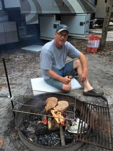
Back home, it was steaks on the open fire, fresh broccoli and mashed potatoes. It’s the first time we’ve made steaks that way. Oh, were they scrumptious!!
TOTAL MILES: 2.5
Year to Date: 122.5
Daily Average: 3.22
