Ortona South C.O.E., Moore Haven, Florida
I vacillated on the title of this post between “We have lift off!” and “He did it again!”. We are based at yet another incredibly beautiful and interesting place! Blaine seems to find them easily!
If you noticed, we’re at a new location today. The COE stands for Corps Of Engineers. As in the United States of America Army Corps of Engineers. Who knew they managed 2,500 recreation areas?? Turns out, many of them even have campgrounds!
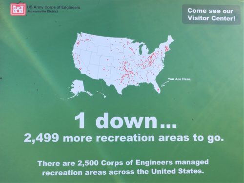
This place is at canal lock. There’s something similar to the Panama Canal that runs right across Florida. Did you know that? We didn’t. It’s called the Okeechobee Waterway. Here’s what I found on the COE website:
Welcome to Lake Okeechobee and the Okeechobee Waterway! Located in central and southern Florida, the 451,000 lake and 154 mile long waterway extends from the Atlantic Ocean at Stuart, to the Gulf of Mexico at Ft. Meyers.
The waterway runs through Lake Okeechobee and consists of the Caloosahatchee River to the west of the lake and the St. Lucie Canal east of the lake.
Lake Okeechobee and the Okeechobee Waterway Project is part of the complex water management system known as the Central and Southern Florida Control Project. The projects cover 16,000 square miles starting just sough of Orlando and extending southward through the Kissimmee River Basin to the Everglades National Park to Florida Bay.
So that was a big part of our day today. Moving and getting the lay of the land. They have one unusual rule for this new Park we’re at . . . you have to always back your vehicle in. The reason? “In case there’s an emergency”. Hmmmm . . . .
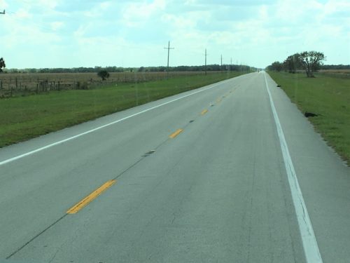
On the way
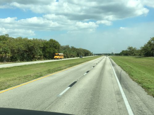
Still on the way
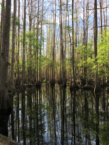
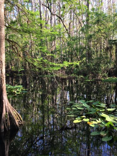
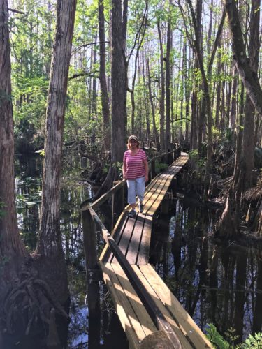
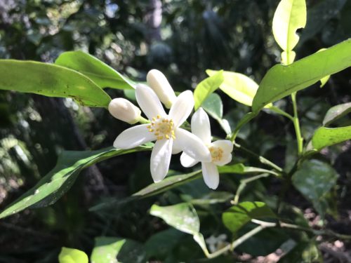
But before we left Highlands Hammock, we took one more spin around the Park and walked the ‘forbidden trail’ and also looked for more orange blossoms!
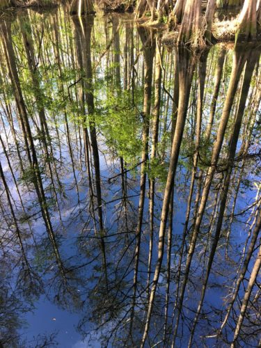
Beautiful beyond words reflection!
Back to the current Park.
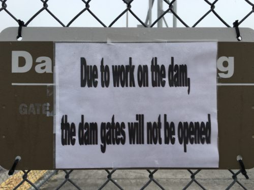
Darn!
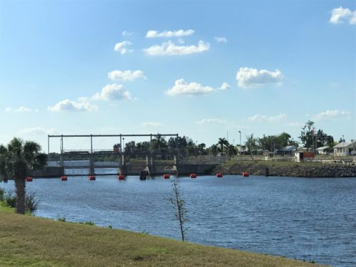
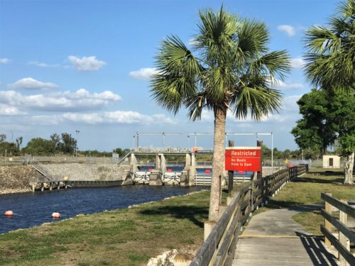
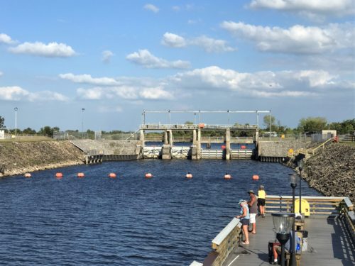
The side we’re on is actually a dam.
Across the way is the lock, but it’s kinda hard to see from this side. : (

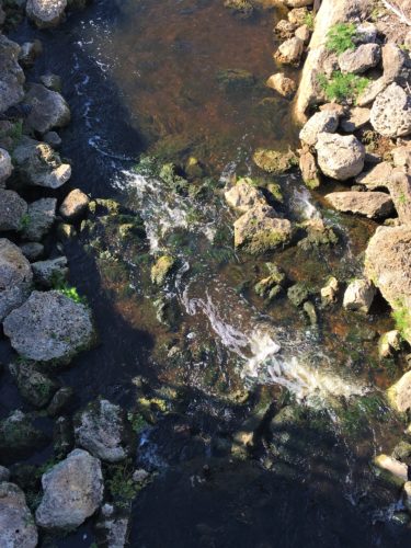

This is a tributary that runs through the Park
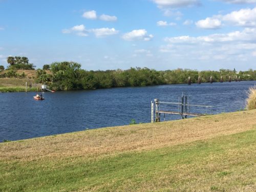
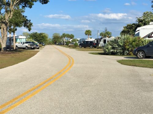
We’re down at the far end
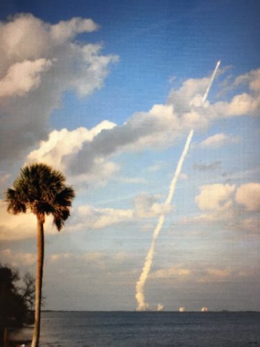
About 4:30pm, Blaine turned on the TV and we watched/listened as NASA counted down the launch of the new GOES-S weather satellite. He did his map thing and announced that it was going up “right over there” which was out our windshield. “Aren’t you excited?” He asked me – – because he was. “Not really. Sorry. Probably if I was actually there . . .”
And within a minute or two of the launch, there it was! Right where he said it would be! So now I’m excited too! That was pretty cool!
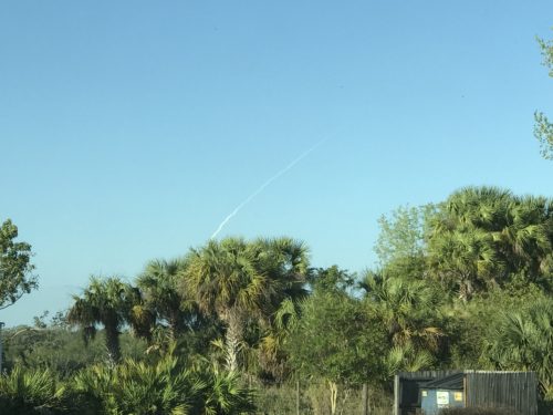
View from our front window!
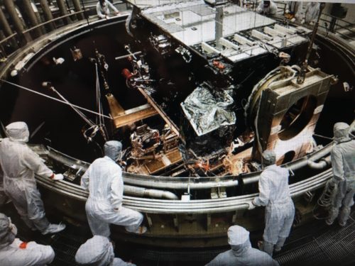
Here’s some pictures from their website and an explanation:
“We expect GOES-S to be the perfect partner to its sister satellite, GOES-16, whose early returns have surpassed our expectations,” Tim Gallaudet, assistant secretary of commerce for oceans and atmosphere for the Department of Commerce at NOAA, said in the release. “The revolutionary technology on these satellites, coupled with the skill of NOAA forecasters, will lead ultimately to more lives saved.”
The satellite will also help forecasters spot wildfires shortly after they begin and track them as they intensify, as well as monitor and predict fog’s formation and evaporation, according to NOAA. It will be focused on the western portion of the U.S. and the eastern portion of the Pacific Ocean.

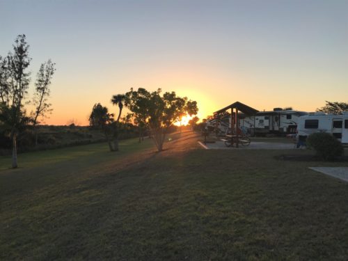
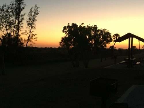
We ate leftovers, worked some outside and watched the sunset. We tried to watch “This is Us” outside, but the bugs were eating us alive! The best show on TV will have to wait for another day. . . Rats!!
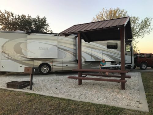
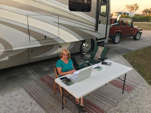
I was researching New Orleans, not working on the blog. For once. : )
TOTAL HIKING MILES: 2.5
Year To Date: 169
Daily Average: 2.81
