Cumberland Mountain State Park, Crossville, Tennessee
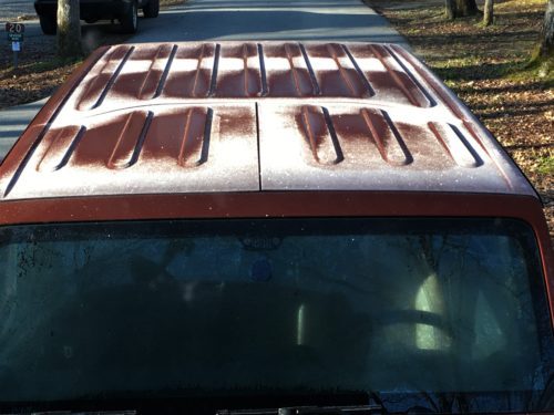
We woke to frost covering the Jeep.
Not wanting to wear a bunch of clothes, we waited until about 10am to leave today.
Well, here’s a new dilemma. A quandary. More than a quandary, it’s a frustrating problem. A curve ball, if you will. An almost unhittable curve ball. The other day, when I was organizing our pictures for the blog, I discovered that Blaine and I had some of the same “picture numbers”. Without going into boring details of what that means, I’ll just tell you that it took me quite a bit longer to do the post. And it was quite confusing for me to sort out.
Today, there’s an additional issue. There are still a couple of pictures with the same numbers, but now I have the added joy of them being mixed up because my phone and Blaine’s were in different time zones all day! Why??? Ugggghhhh!
And none of this matters to anyone but me. I’m going to enjoy a chai tea while I attempt to sort this out. Comfort food. Since I don’t drink alcohol.
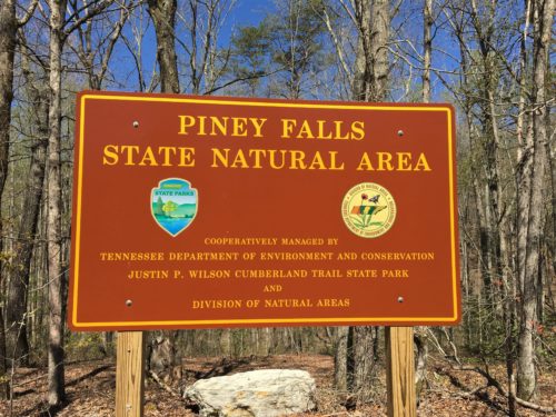
A 15 mile drive this morning, took an hour and a half. According to the gps. We changed time zones! Well, Blaine did anyway. It was actually only about 20 minutes to our first destination today – Piney Falls State Natural Area. Here’s what the paper the campground gave us says about it:
Area features a 500 ft. deep gorge cut into eastern escarpment of the Cumberland Plateau by Little Piney and Soak Creeks. The gorge contains two waterfalls and a lush forest. The upper gorge harbors a typical mixed-mesophytic forest. The lower gorge has a hemlock dominated mixed-mesophytic forest with a large admixture of white pines.
We don’t know what all that means. For us, there are only three important words – “two waterfalls” and “gorge”. 😊
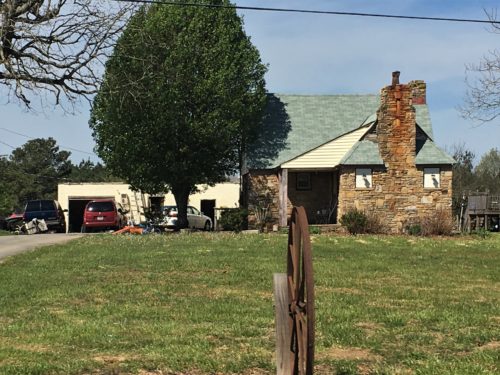
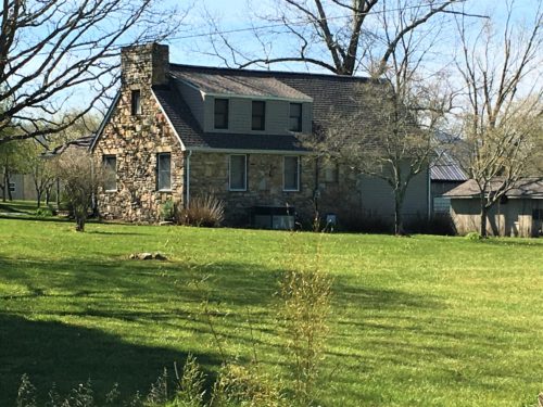
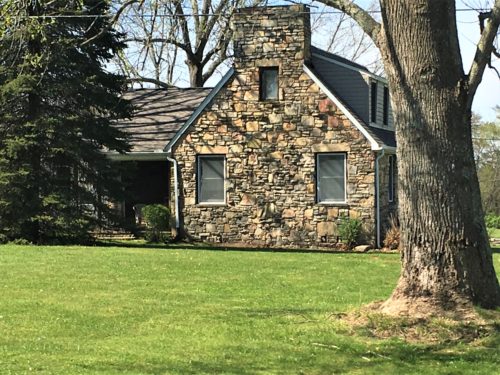
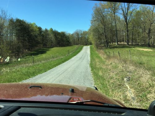
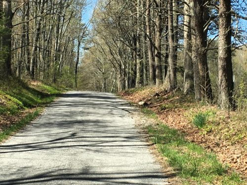
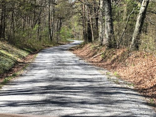
It was a scenic drive and we passed several of the “homestead houses” along the way. Most of them had been altered in some way over the years, but they were still standing.
Up first – Finding Piney Falls. It’s roughly a three-mile hike and shouldn’t have been too difficult, but they’re really poor (and I mean really poor) at marking much of the trail. There was a map at the trailhead, and Blaine (as always) took a picture of it. There came a time when it didn’t help much. Actually, not at all.
But I’ll get to that later.
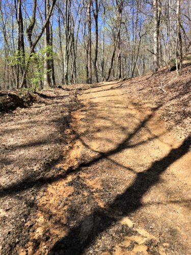
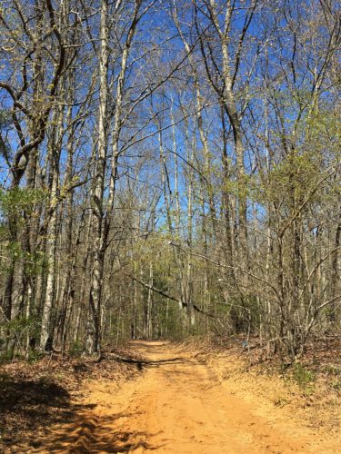
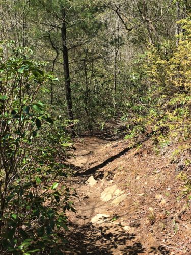
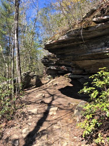
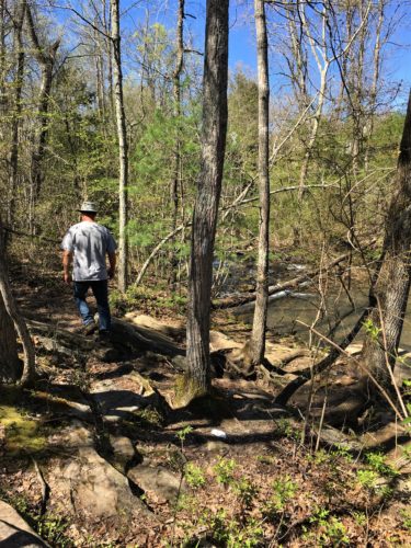
For now, it’s just a nice hike.
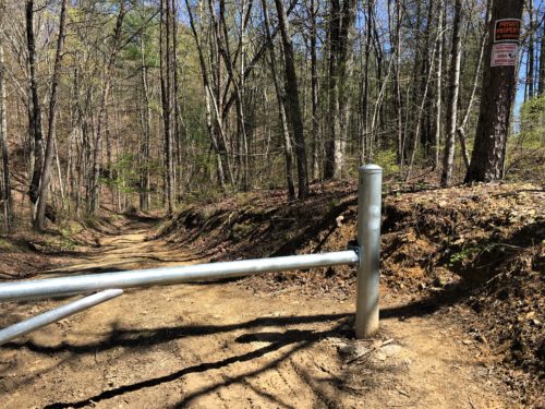
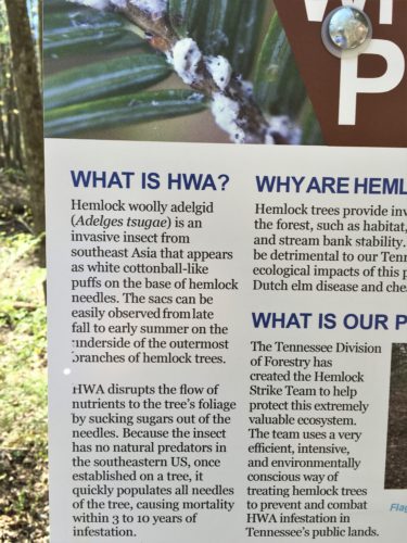
We saw this stuff on a tree somewhere the other day and wondered what it was. Thought maybe it was a fungus.
Guess not.
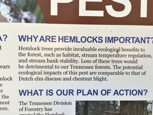
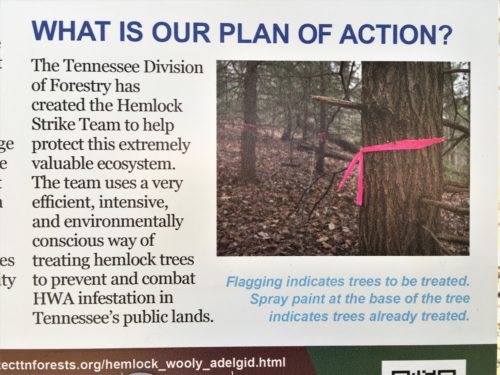
We’ve also seen the pink flags and wondered what they were for.
And also the blue dots at the base of trees.
Now we know what they mean! Yeah! : )
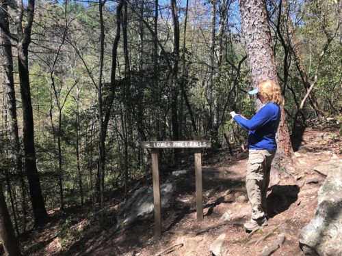
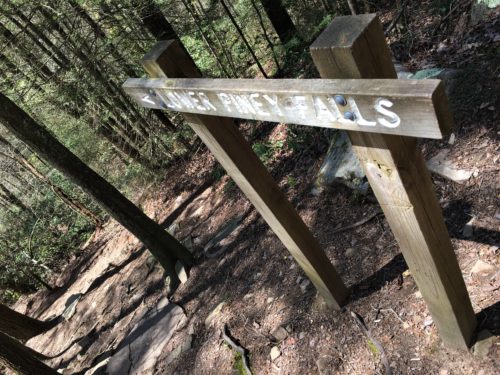
And we found the Falls! When we got to the falls, I went right first and Blaine went left. I was headed for tranquility, he wanted impact. : )
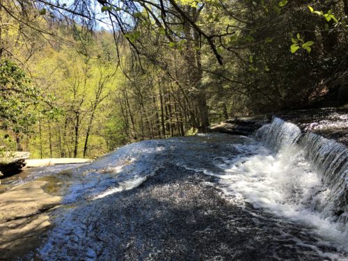
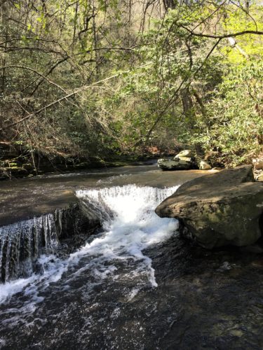
My tranquility
Sigh . . .
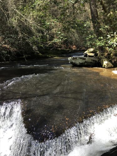
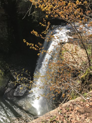
Blaine’s impact.
Wow!
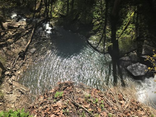
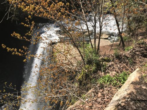
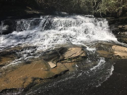
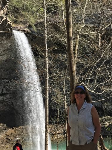
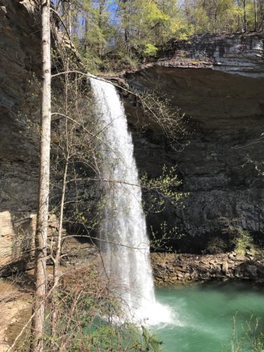
After I enjoyed the bubbling water for a bit, I went in search of him and discovered him standing alongside the 60’ Lower Piney Fall. Whoa! Knee-melting view. Better sit down. . .
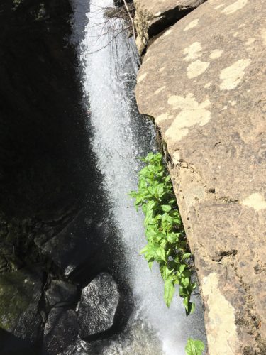
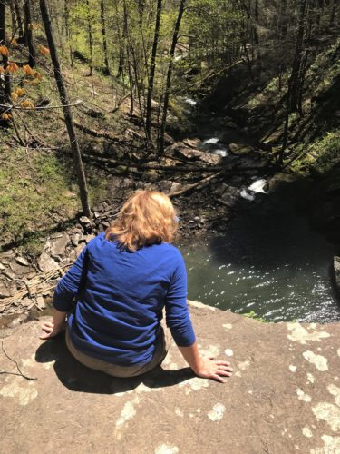
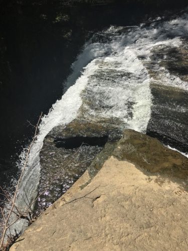
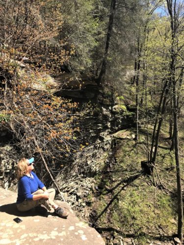
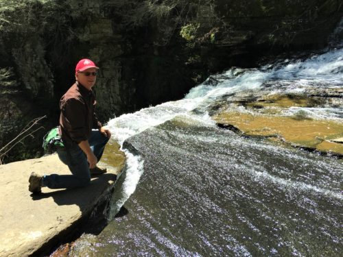
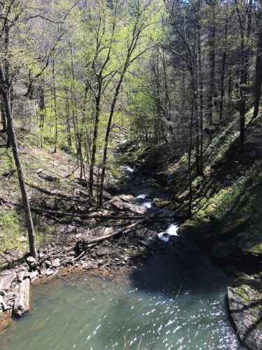
Downstream View
Now comes the hard part. In the midst of following hard parts – and yes, there were several, Blaine and I discovered we had different ideas about what we were trying to accomplish. Not that it mattered. I thought we were trying to find the way to the bottom of the waterfall. He was trying to find a different one – Rose Falls.
After a time of hugging the ridge on a barely-the-width-of-your-shoe apparently well-traveled trail, . . .
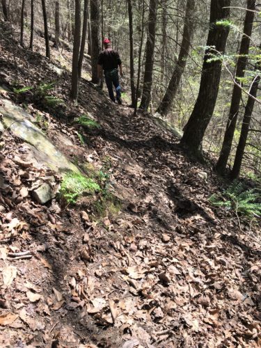
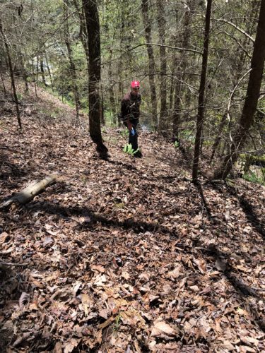
. . . . and Blaine sliding down the hill almost to his doom, . . . .
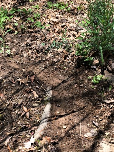
Blaine’s skid marks.
He didn’t yell, so I figured he was OK, but I did ask, just to be sure.
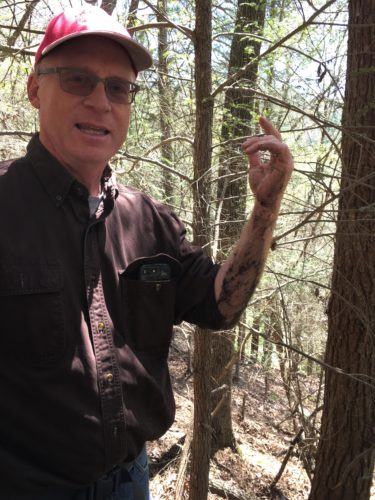
Mud! And lots of it!
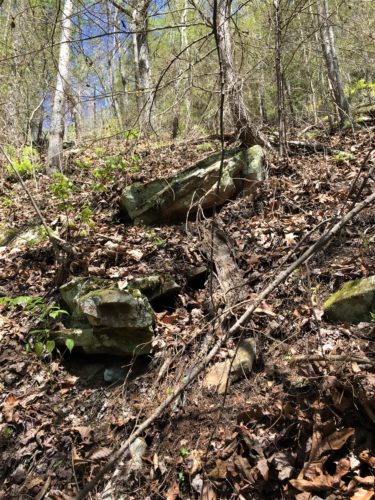
We came from up there. Yes, I followed him down. Even though he slid. Even though I didn’t have a stick. I sat and scooted. : )
. . . . we gave up and turned around.
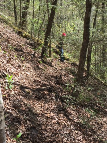
Returning to where I had steered right at the river, we picked up another well-traveled trail. That’s when I realized we were trying to achieve two different agendas, because we were now heading up-stream, away from the waterfall. Can’t get to the bottom that way!
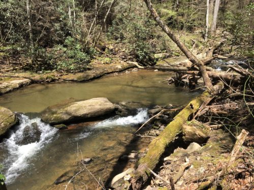
But, after a time, we realized this wasn’t the trail we wanted either.
So back we went. To the “Lower Piney Falls” sign. We turned left and now it seemed we were on the right track – at any rate, we were back on the main trail. We gave up on Rose Falls.
Now we’re on task to locate the Upper Piney Fall.
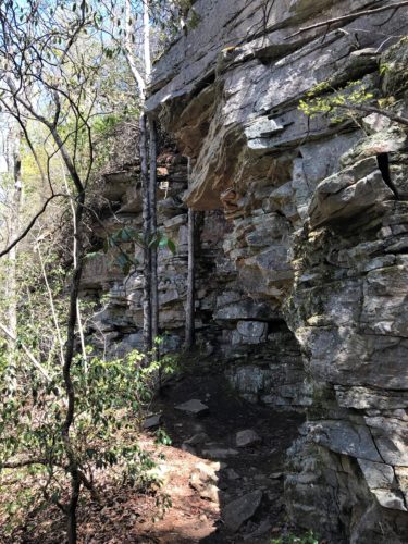
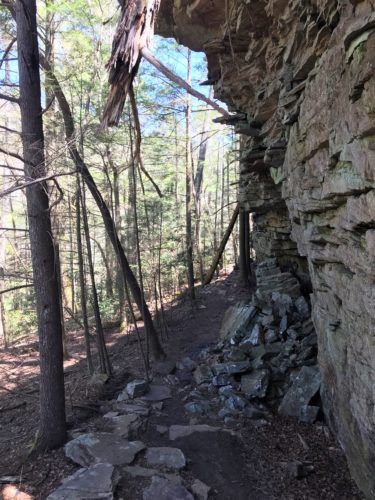
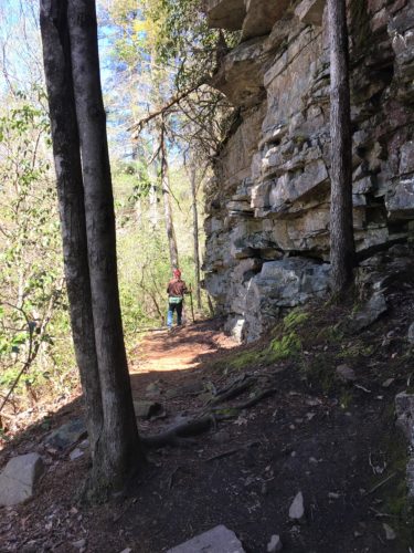
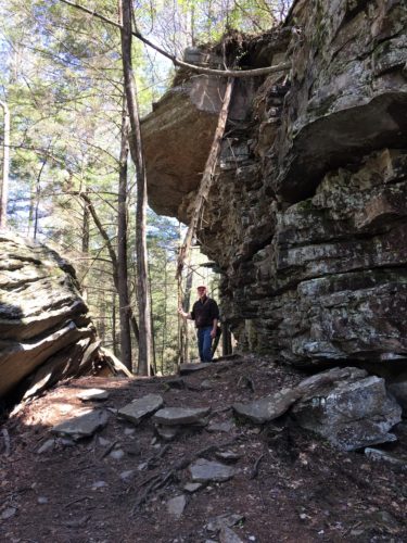
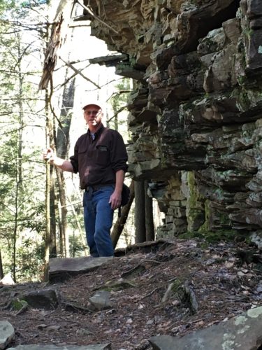
We could hear it, so we knew we were close!
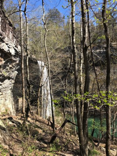
And there it was! And it was magnificent!
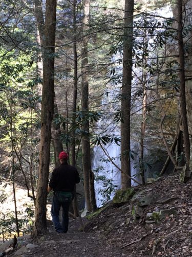
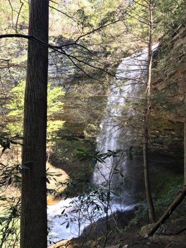
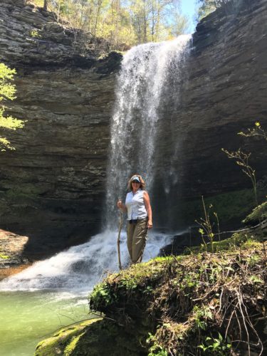
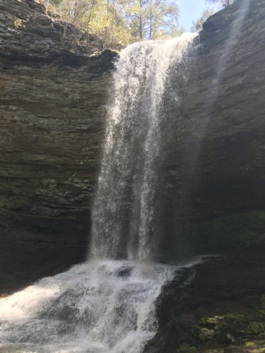
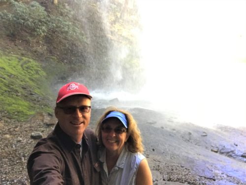
And you could walk behind it! I sent Blaine ahead, so I could take pictures of him back there.
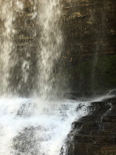
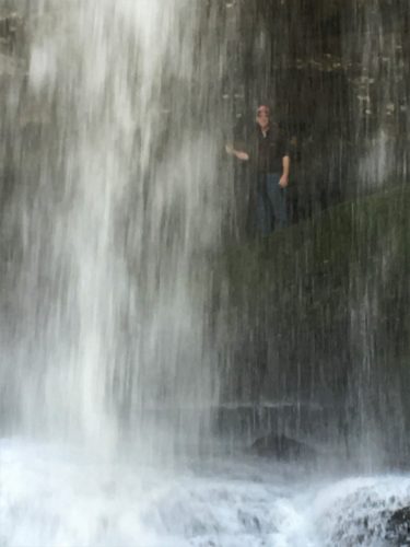
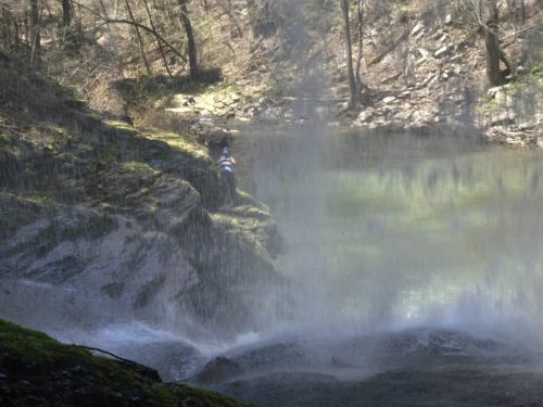
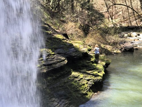
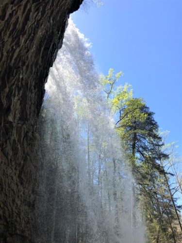
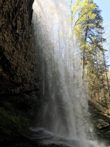
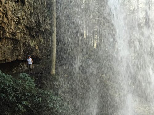
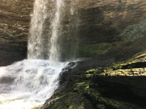
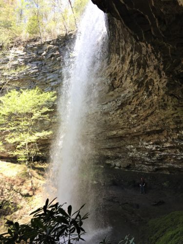
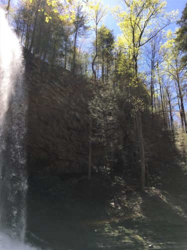
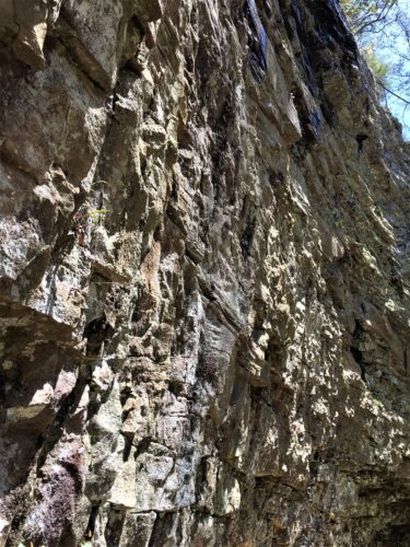
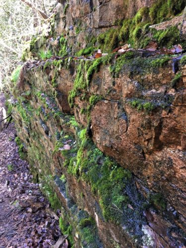
The rock was pretty cool, too!
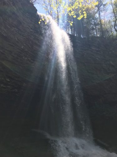
It was so exhilarating to be behind all that power! We loved it – even though we got pretty wet back there!
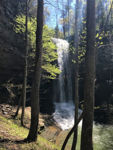
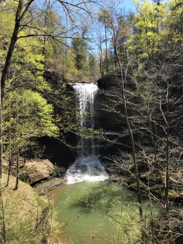
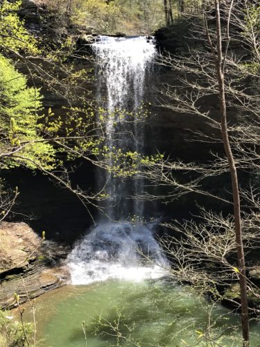
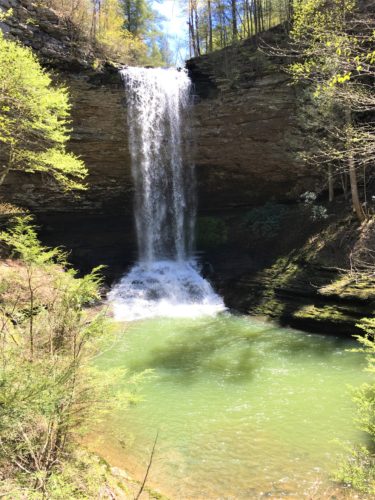
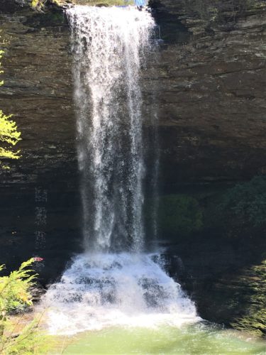
The map says there’s a trail that takes you to the top of the waterfall, and also under it. We set off to work our way to the top, uncovering additional views of the waterfall first!
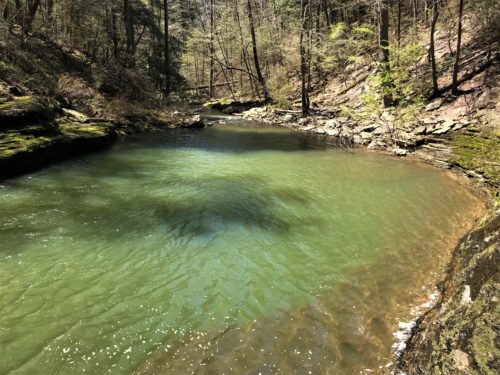
This is the pool at the bottom of the falls.
IM
Once again, there are no trail markers, just worn places where people have walked.
We thought we were heading in the right direction. The trail seemed to be skirting the rocks and heading up. Along the way, we made a couple of unusual discoveries.
The first occurred when Blaine, who was out front a-ways, yelled. Like a startled yell. I don’t like those. Especially since I couldn’t see him very well at that point.
It was a beaver! I’ve always wanted to see a beaver in the wild. But not like this. . .
(READER BEWARE. SOME MAY FIND THE NEXT TWO IMAGES DISTURBING.)
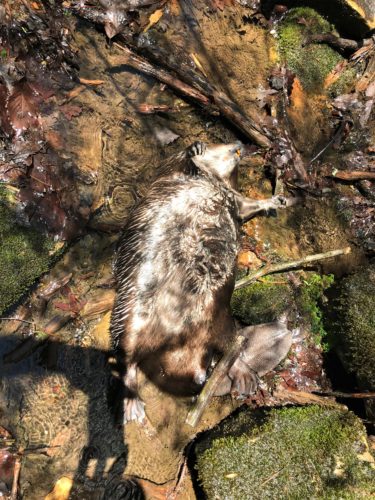
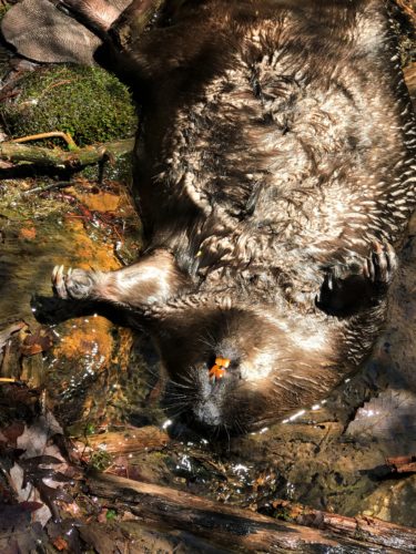
It was pretty obvious what happened. He got too close to the edge of the cliff. Or he had squirrel-envy and thought he could jump. He tumbled off the edge and there he was. Flat on his back. Recently. I made Blaine take pictures. 😊 (It’s all the “tomboy-genes” in me. It’s why God gave me sons.) And then, I wanted to flip him over to see the other side, but he was too heavy. I broke my walking stick. It was shorter, but still usable in a pinch.
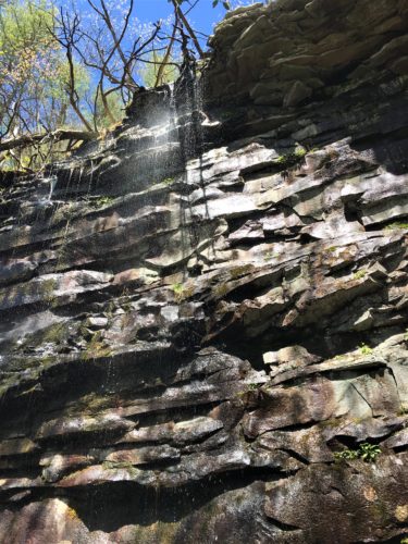
Oh, from what great heights the mighty have fallen . . .
Meanwhile. As I was making my way to him (at the site of the recently deceased), I went to step on a rock, and saw a rattlesnake! He was curled up under a small outcropping of rock, but right where I was about to step! And Blaine heard my startled loud intake of breath (because I don’t yell or scream). He came back and took a picture of the snake, and then we returned to the beaver for the photo shoot.
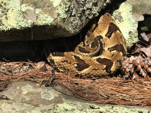
So. All that excitement in one location! But we had no idea where we were. Blaine pulled up his “All Trails” app and was able to locate us – – – waaaay off trail.
Back towards the waterfall we went. The trail had to be somewhere. Maybe we just missed the marker.
There was no marker. Blaine was beyond frustrated (kinda like I am with these pictures today!), but eventually, we decided it wasn’t worth the frustration. You have to understand. Blaine never gets lost. He always, always knows where he is. If anything, he may get a sense of temporary displacement, but that never lasts longer than a minute or two, and it’s easily repaired. This was a difficult hour for him.
Believe it or not, we eventually found our way to the top of the Upper Falls waterfall. It seems it was all in the wording. The trail description they had, didn’t match what we thought they meant. If that makes any sense.
And yes, we took a lot of pictures that look the same, but after what we went through to get here, can you blame us?
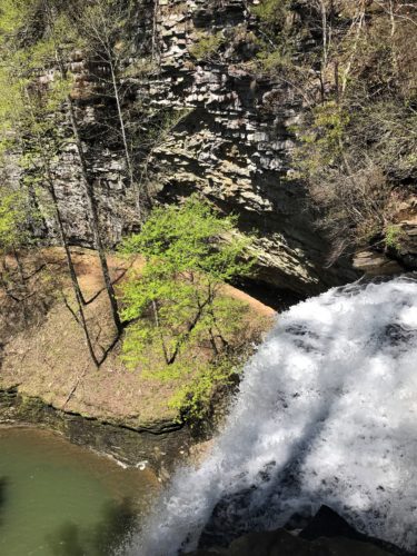
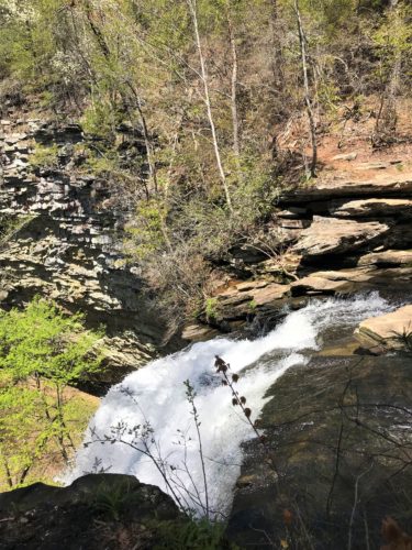
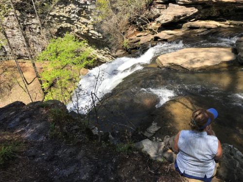
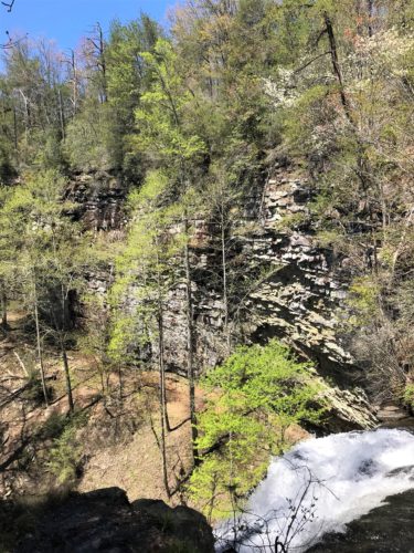
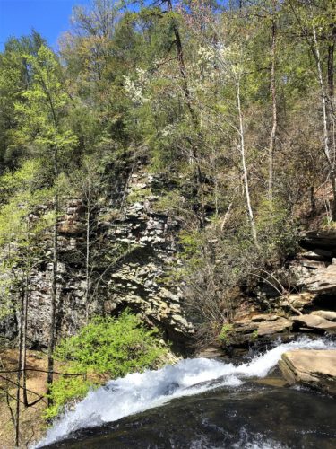
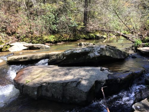
We surely were explorers/adventurers here in the Piney Falls State Natural Area! And even though a bit frustrating at times, we had a grand adventure on our four-mile hike that was supposed to be a little less than three.
Time for lunch!
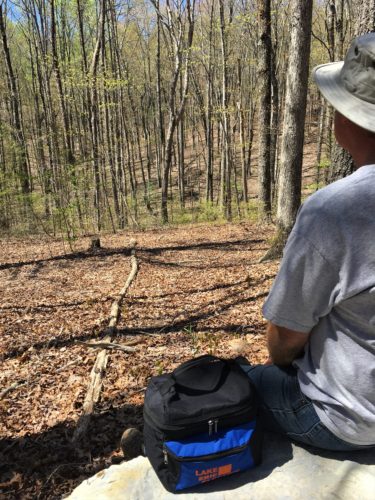
We sat on a rock by the Jeep today.
Lunch View!
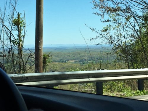
Then we were off in search of the next waterfall destination. But first, a stop to check out the view in Grandview, Tennessee. It really was grand!
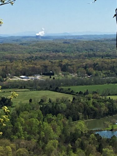
That’s a nuclear power plant belching all that steam. You can see it from a long distance, and from several areas we were in today.
For some reason, this picture turned out more like a watercolor painting. : )
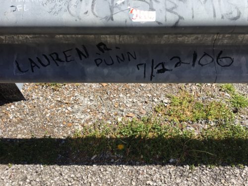
My maiden name was Dunn. Long-lost relative?
Probably not. But a fun surprise to see this right when I opened the Jeep door.
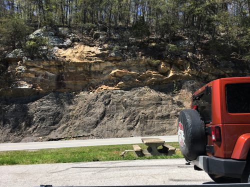
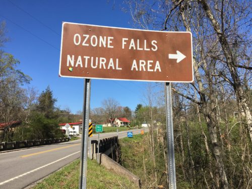
The next waterfall was much easier to find. Well, the waterfall was once we arrived. The town of Ozone wasn’t even listed in the gps and neither was the waterfall, so we had to guess and set the gps by touching the map on the screen. I think it’s because Ozone isn’t really a town. It’s a “community”. But once we were close, there were signs, so it was easy to find the parking lot.
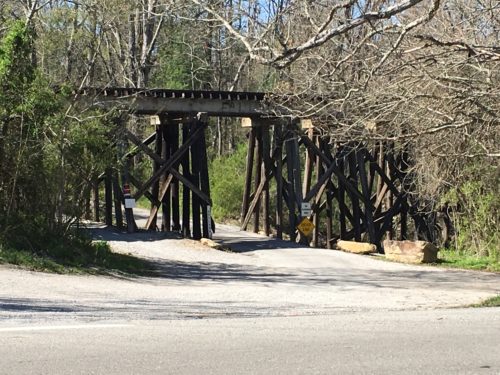
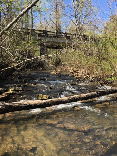
This old bridge was across from the parking lot.
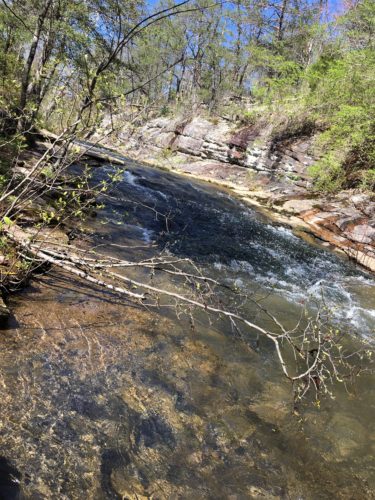
It was nice from the top. It was spectacular from near the bottom! You could walk behind this one as well, but we didn’t go down quite that far. It was too pretty from where we parked ourselves to leave. And we’d just been behind one early today. 😊
So let’s start at the top:
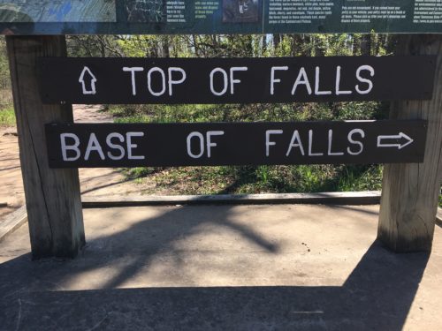
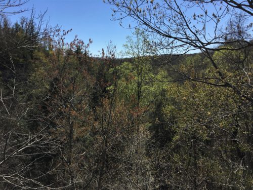
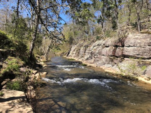
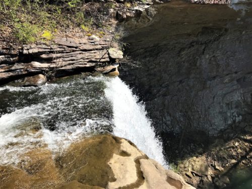
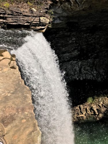
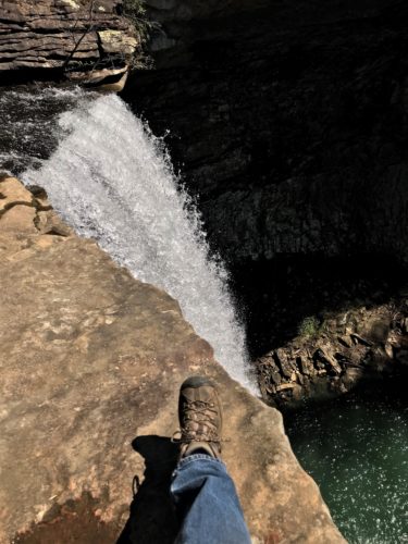
That’s crazy Blaine’s foot you’re looking at.
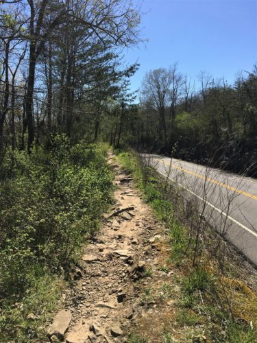
And now for the short trek to the bottom. But first we have to go back to the parking lot.
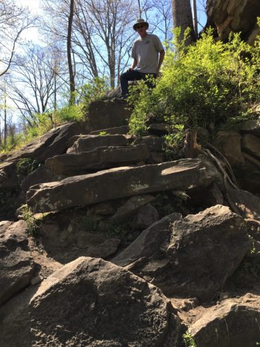
The trail – more like a rock scramble – starts here by the road.
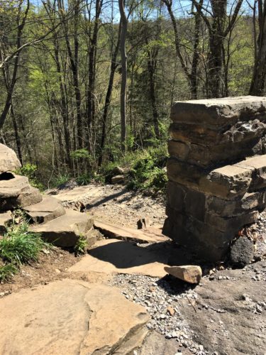
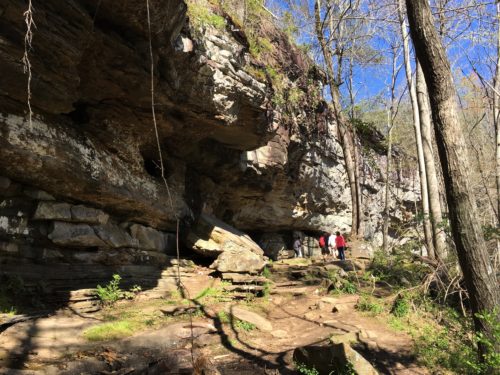
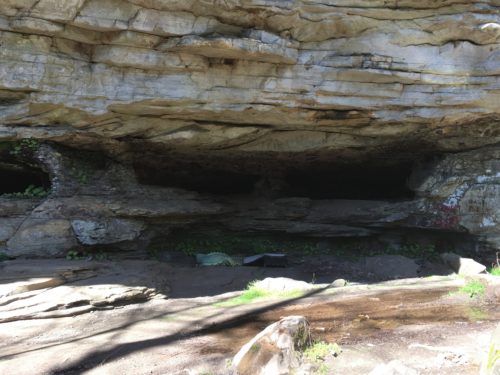
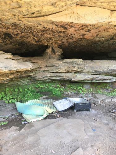
Is someone staying here?
We don’t know. All that’s here is that piece of foam and an empty, open suitcase . . . .
Hmmmmm . . . . .
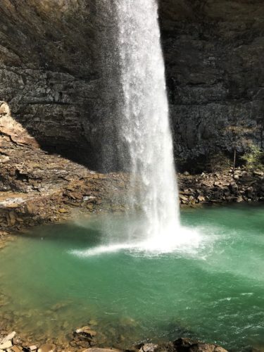
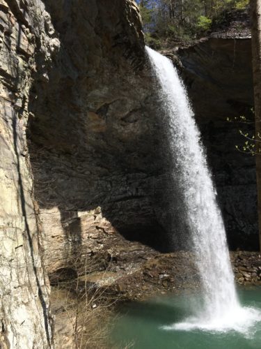
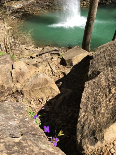
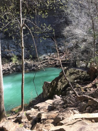
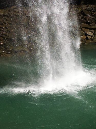
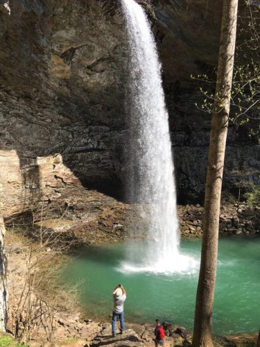
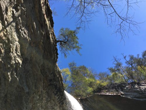
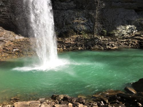
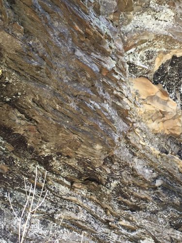
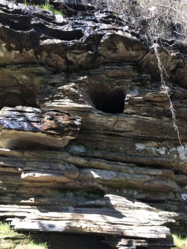
Even some of the rocks are pretty here.


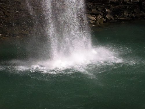
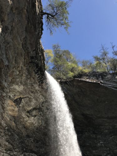

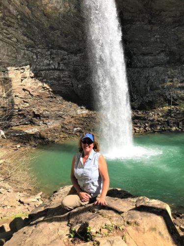
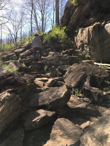
Time to go home
Have you noticed all the green water again? Well, so far I’ve not been able to find out why. We’ve not seen a Park Ranger the entire time we’ve been in this state, and I can’t find anything on-line about it. I’ll keep checking though and you’ll know when I know.
Tonight’s dinner is a buffet at the Park’s restaurant. We can walk to it. And more importantly, we can walk home. We needed that walk, but it didn’t really help. We were still miserable by the time we got home. Why do people gorge themselves at buffets? Two reasons – the food tastes good and you want to get your money’s worth.
The menu:
Fried Catfish (this was the best thing we ate, although most everything was very good)
Baked Cod
Roast Beef and gravy
Cold Baked Ham
Mashed potatoes
Turnip Greens (I tried these and found them tasty!)
Baked Beans
Baked Apples
Chili
In addition, they also have a salad bar and a dessert bar.
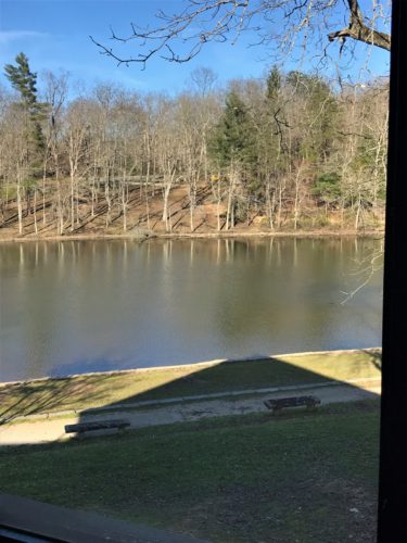
The view from our table
Nice, huh?
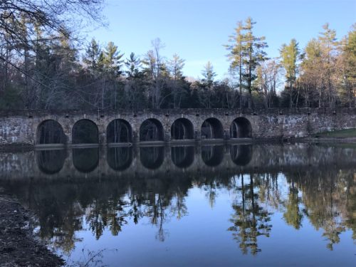
The water was so calm tonight, the reflections are beautiful!
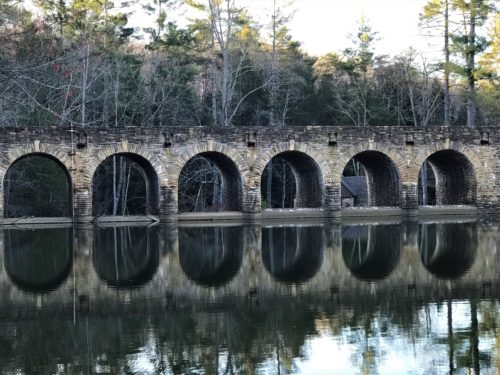
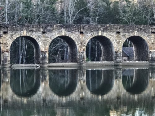
Looks like one big capsule shaped window!
We’re returning tomorrow to gorge (reward?) ourselves on BBQ after our long and strenuous hike.
All together today, we probably hiked about 5 ½ miles. The end of our day was actually more of a waddle back home.
