River Plantation RV Resort, Sevierville, Tennessee
Well, it was raining. With not even a remote possibility of lightening up until maybe later in the day. So it’s boots, layers, raincoats and a change of shoes and socks (just in case).
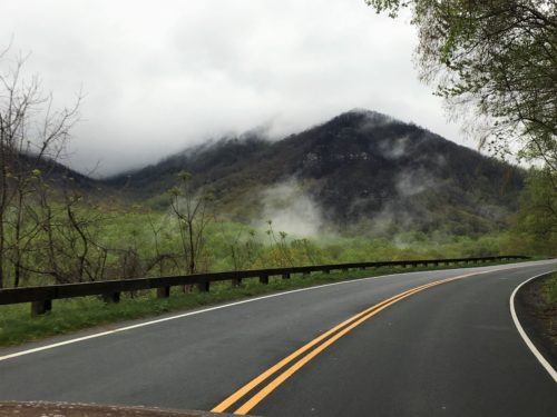
Driving to today’s meeting place – the Chimney Tops trailhead parking lot.
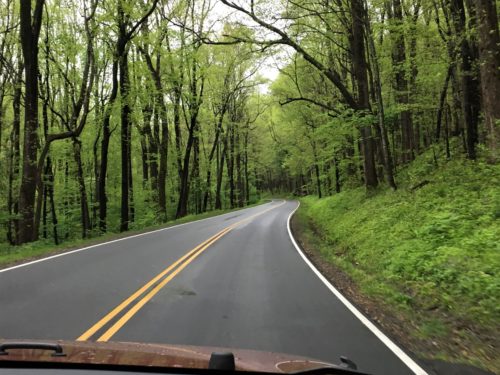
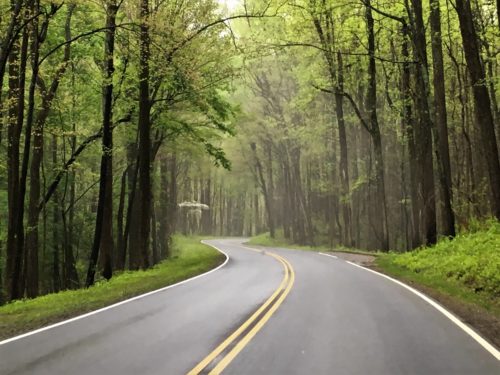
Some clouds in the road . . .
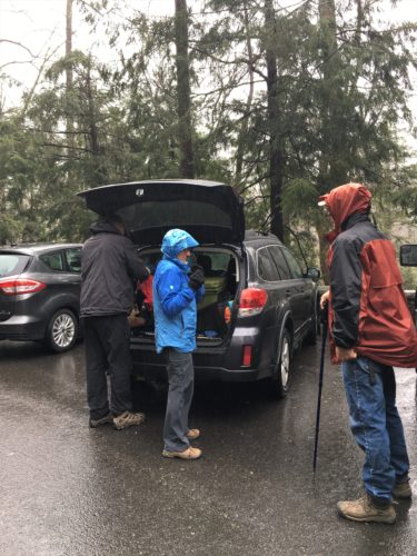
The gang’s all here! Standing in the rain.
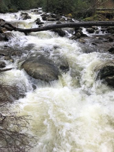
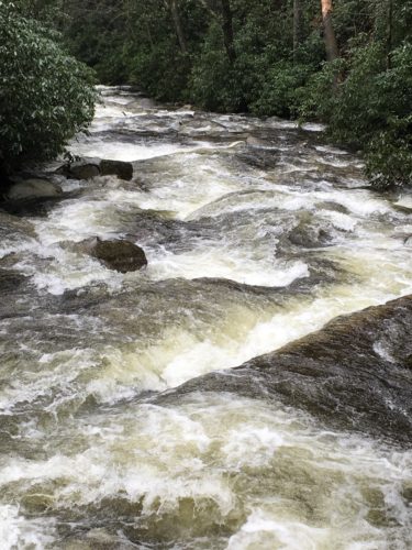
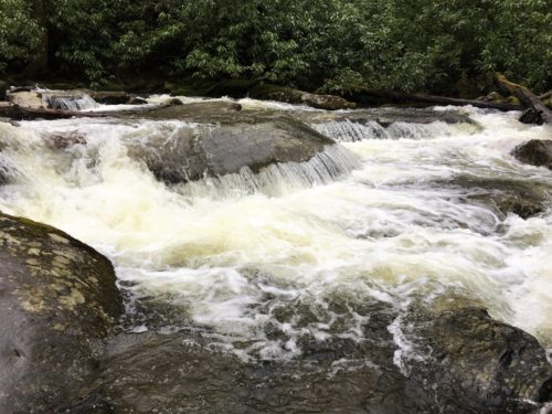
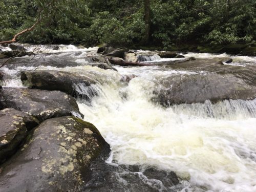
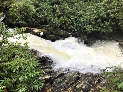
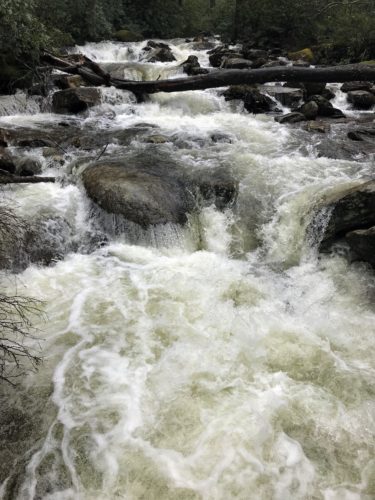
But one look at the raging river at our first trailhead, and we were thrilled for all the rain!
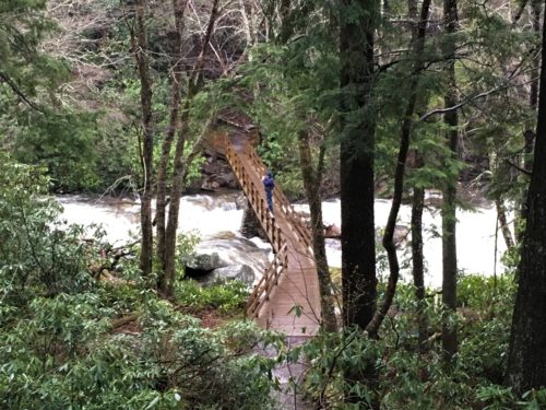
This bridge is just at the start of the trail.
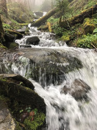
Look at the water!
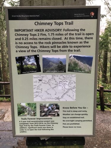
Some important information regarding the trail.
And some pictures of the views we should see.
Ha! Not a chance today! : )
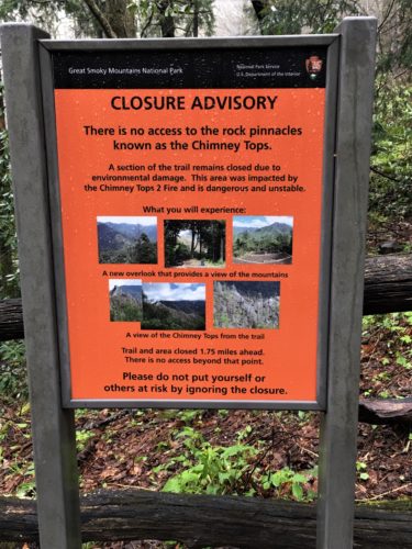
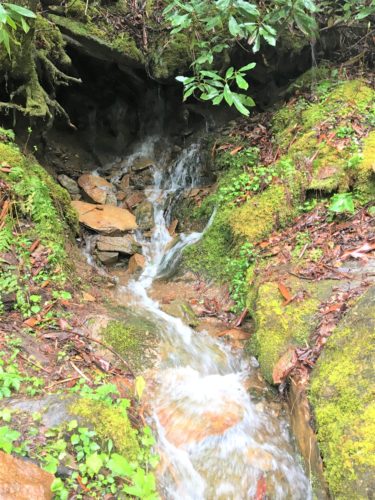
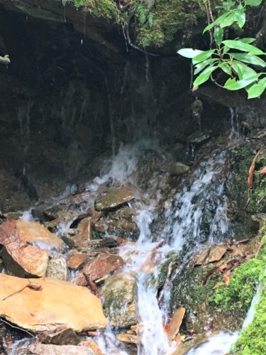
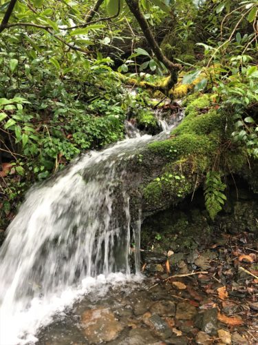
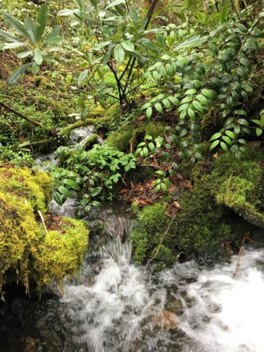
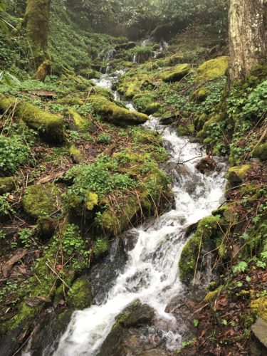
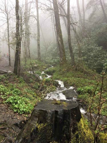
Actually, there was raging water everywhere – including in the streams that run along the road on the way in!
Words can’t describe how wonderful it was! I think I hiked the entire trail with a smile of awe and wonder on my face!
We had chosen the Chimney Tops trail. It’s a 3.7 mile round trip trail (that used to be four), with an elevation change of 1,487 feet.
Remember the devastating fire in the Gatlinburg area back in 2016? Because of that fire, the last quarter mile of the trail has been closed indefinitely because the ground is now too unstable. Below is the information I was able to compile:
The arson fire that was started by a 15 and 17 year old playing around with fire, originated at Chimney Tops on November 23, 2016 and it was finally extinguished on December 9th after wreaking havoc over 17,904 acres, destroying over 2,400 buildings, killing 14 people and injuring a minimum of 134. More than 14,000 residents and tourists had to be evacuated. The boys were charged with aggravated arson, but the charges were dropped because of legal mumbo-jumbo between the State of Tennessee and the Department of the Interior (responsible for the management and conservation of most Federal Lands). Although the fire was started in the Chimney Tops area, it spread quickly when sparks were carried by high winds. It became the deadliest wildfire in the Eastern United States since the Great Fires of 1947 in Maine.
In addition, the 87mph winds knocked down trees, which in turn started fires when they hit power lines. This is the reason why the boys couldn’t be charged with the deaths and destruction of property – because it was determined that other factors were involved. (Hopefully, the feds charged them with something because of the fire in the Park, at least. I couldn’t find any information.)
Because of power outages to some pumping stations on November 28 and because other pumping stations burned, hydrants quickly went dry on November 28, and Gatlinburg Fire Chief Greg Miller first asked for help from all of Sevier County and later from the entire state. Damage from the fires also prevented firefighters from communicating with each other through cell phones as the radio system became overloaded. Gatlinburg’s emergency operations center phone system went down when it lost power. Even the 911 system couldn’t handle all the calls it received, and calls had to be routed to other counties.
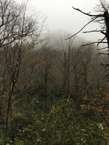
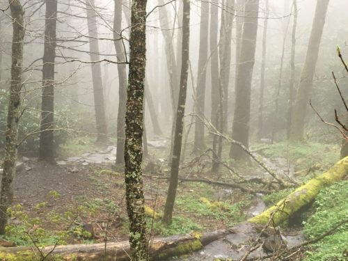
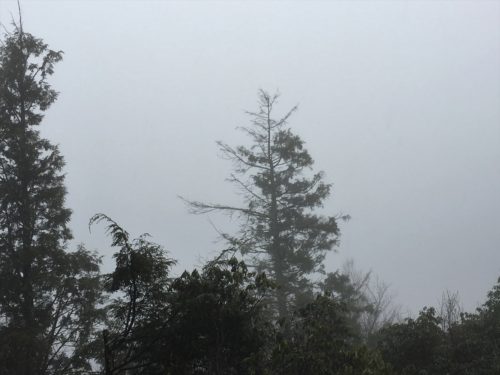
So we started out in the rain. It really was a great hike, despite the rain, although the views at the top were completely obstructed by clouds. ☹
There’s so much water in this post, you really should put on your rain gear before you hike with us.
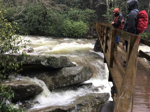
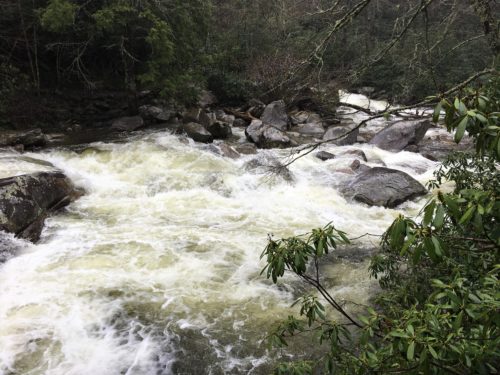
View of the Little Pigeon River from the bridge! Oh My!
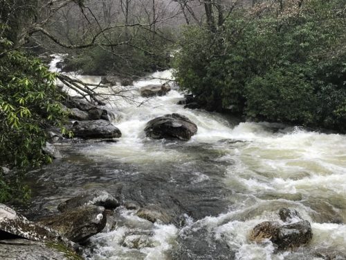
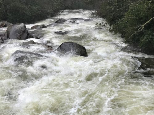
Here’s a couple of 10-second videos to give you some inkling of the awesome power here!
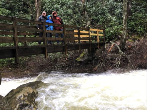
I took a quick detour to take a picture of the others on the bridge.
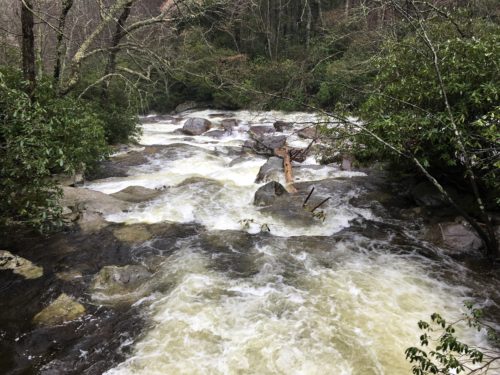
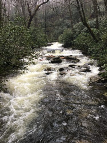
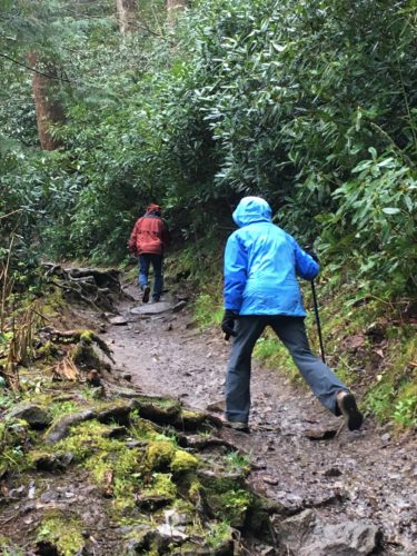
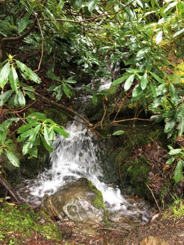
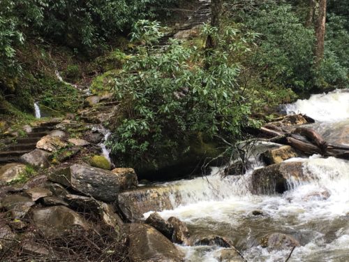
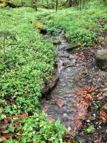
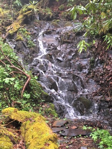
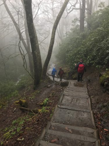
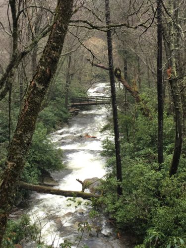
The river and lots of other streams that feed it, ran along our trail quite a bit.
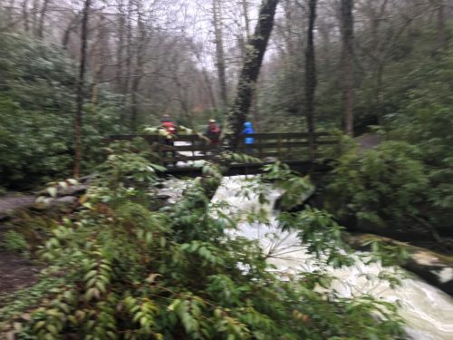
Same people – different bridge. : )
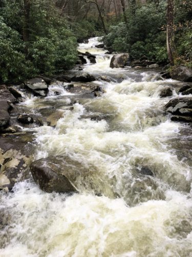
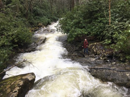
That’s Blaine down there.
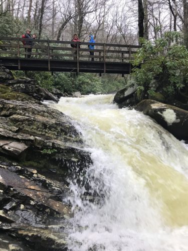
And another bridge. Blaine took this one. : )
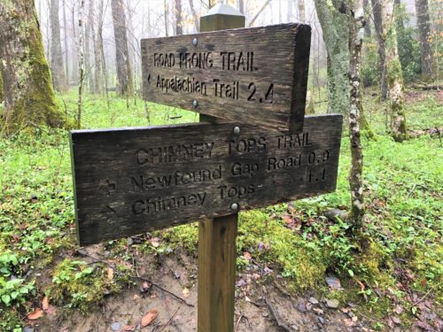
Several trails converge here.

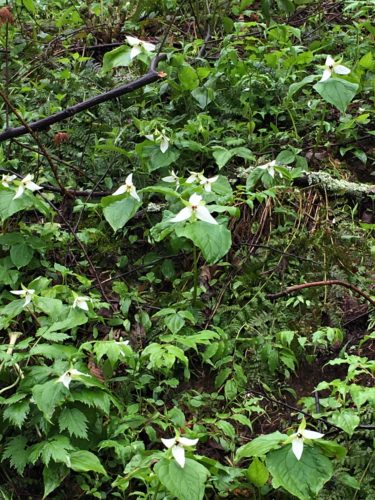
You gotta stop and check out the flowers along the way! Even if it’s pouring down the rain! : )
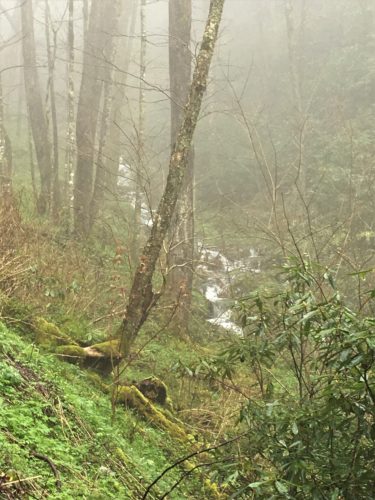
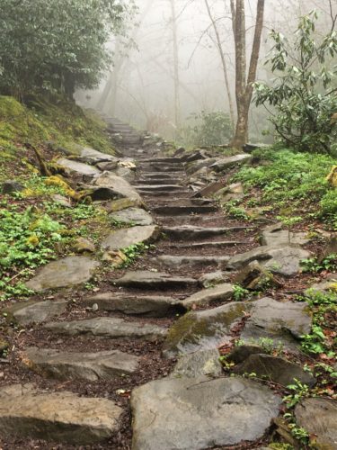
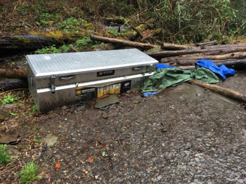
Looky there!
A gang box!
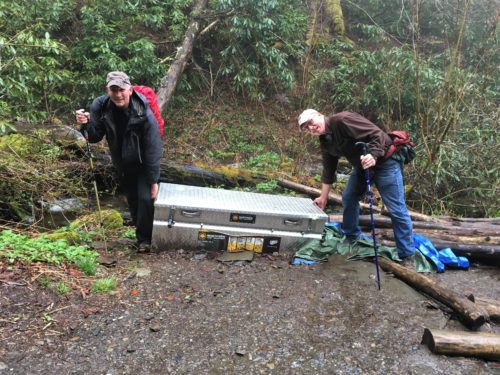
Blaine and Nick felt right at home!
Well, Nick anyway. He’s still working. Blaine hasn’t seen one in almost a year. : )
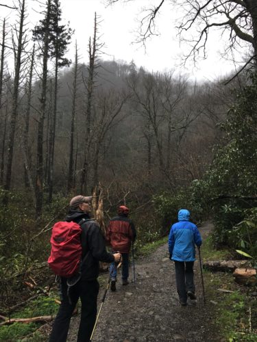
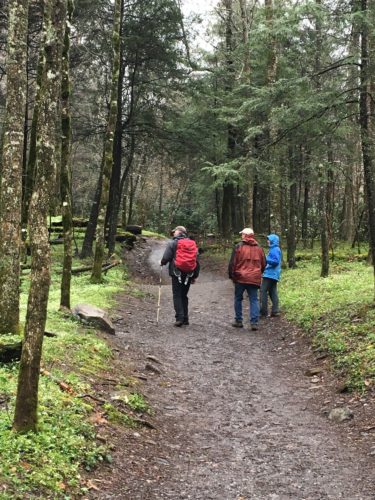
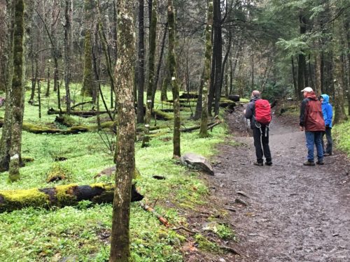
As you can see (because our hoods are down), the rain let up for most of the hike, but the air was still heavy with moisture. Actually, if remembering correctly, it rained at the bottom and the top of the trail, but not really in between.
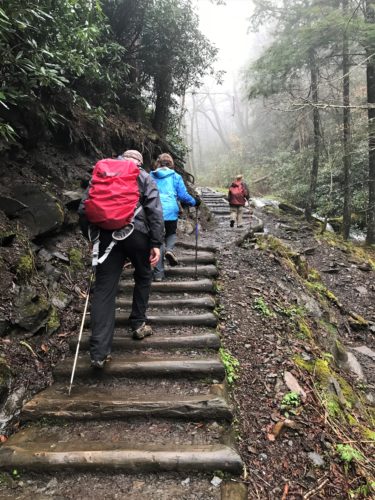
Still climbing!
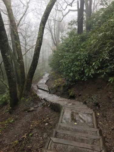
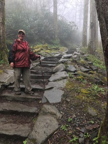
Told you I was beaming!
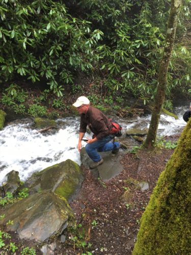
Blaine’s down there taking a picture . . .
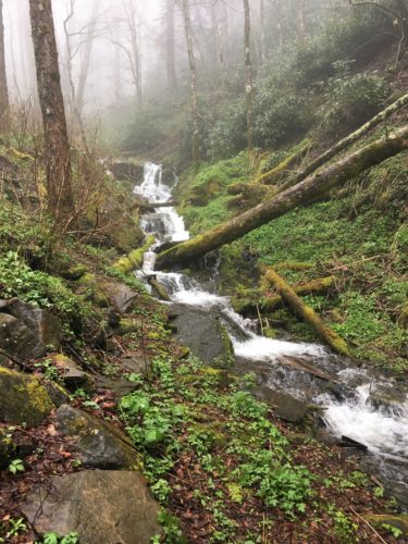
This is the picture he took.
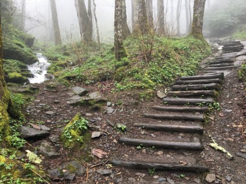
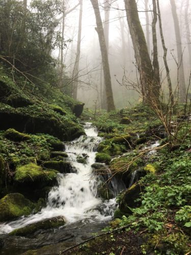
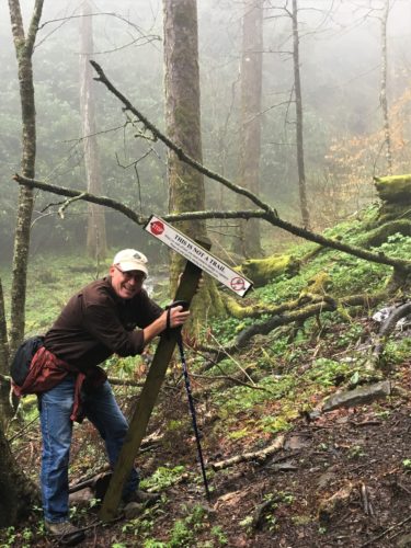
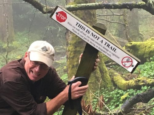
This sign was laying on the ground a little off-trail.
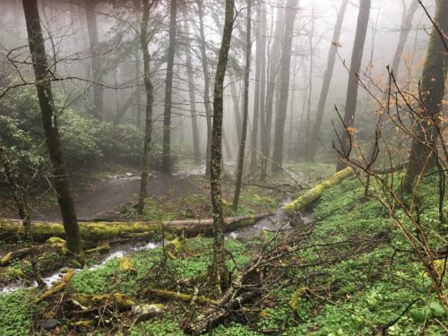
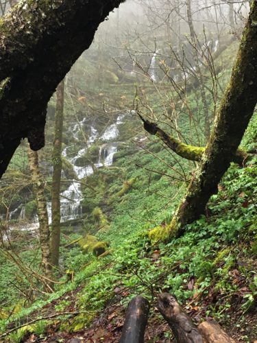
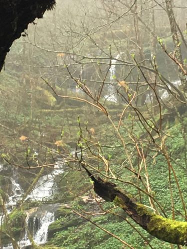
Our view at the top!
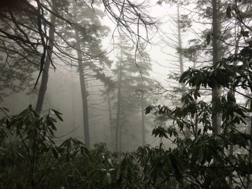
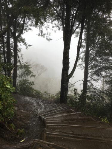
This is where the trail used to continue on.
The observation area they have now, where we took the “view” pictures, is new.
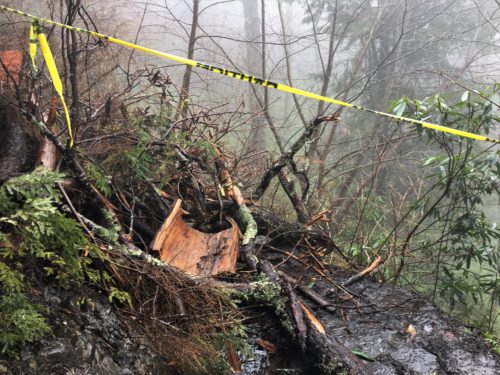
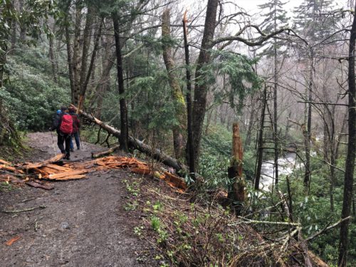
There’s no getting around it. There’s a sheer mountain on the left, and a sheer drop off on the right!
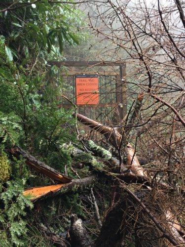
Where the old trail is now stopped.
We rested a bit at the observation area and had a light lunch, then back down the mountain we went.
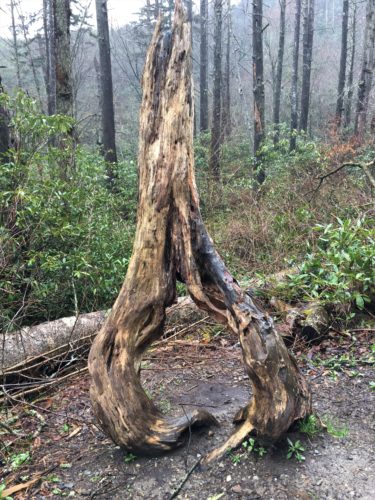
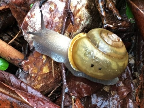
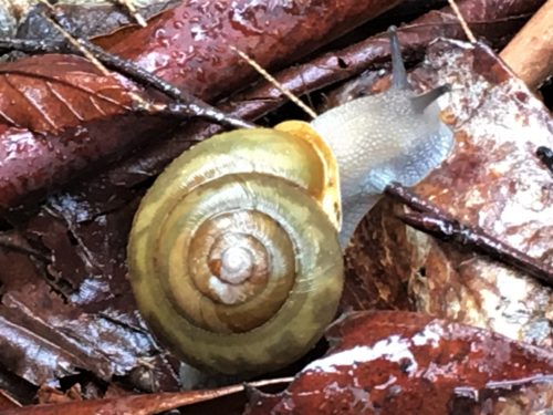
I happened to spot this guy.
You do that when you have to watch where you’re walking all the time!
Pretty cool, huh!
There was still plenty of day left, so we began discussing where else we wanted to go. I asked for more water, so we stopped at the Sugarlands Visitor Center where the guys found waterfall information.
Next stop – Grotto Falls. This one is 2.8 miles round trip with an elevation gain of 585 feet.
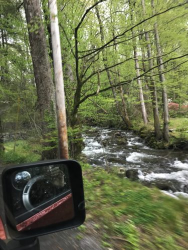
To get to Grotto, we had to take the Roaring Fork Motor Nature Trail.
It’s a one-way road that meanders near the stream by the same name.
What a great drive!
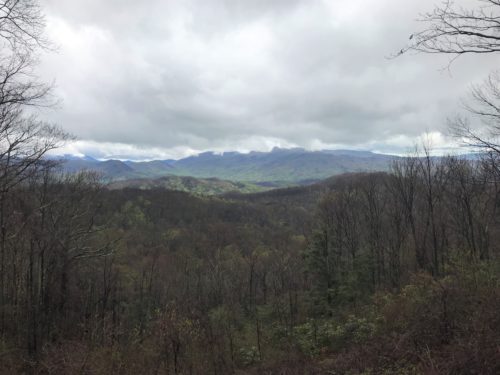
There are pull-offs every so often, either for views like this one, or to let other drivers past you.
The speed limit is 20mph, but some drive about 7-8mph . . .
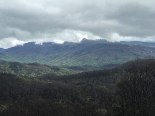
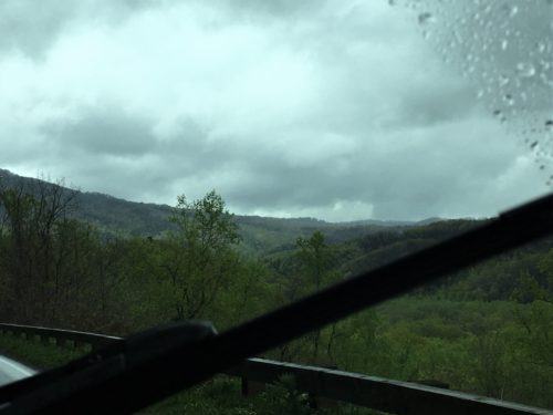
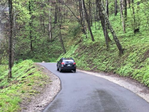
That’s Nick and Cathy leading the way!
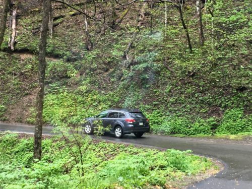
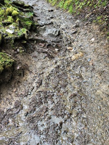
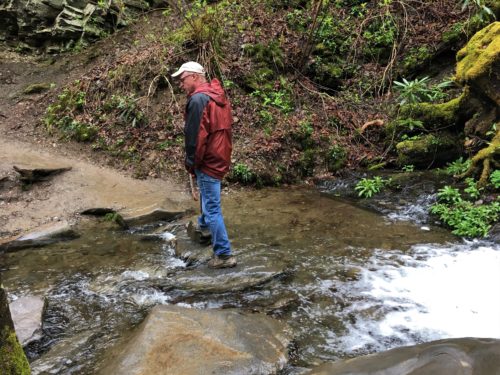
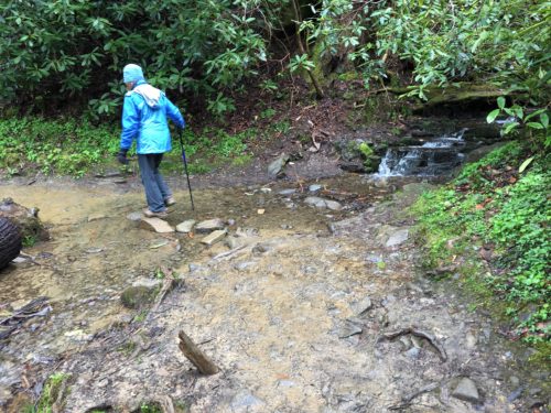
Wow! Another great hike, even though this trail was pretty muddy. But the waterfall was bursting with an abundance of water! And just like the last trail, there was raging water everywhere – including a stream we had to figure out how to cross.
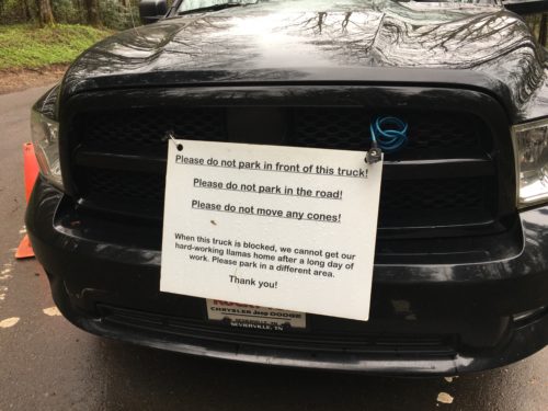
This was in the parking lot, surrounded by orange cones.
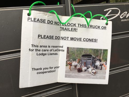
Wouldn’t that have been exciting!
We saw evidence of them, but we never saw them. Darn!
The Lodge sits at the summit of Mt. Leconte which is the 3rd highest peak in the Smokies.
It’s a 6.5 mile trek to get there and a 3,300-foot elevation change!
There are no roads. All their supplies are carted in by llama!
Managers of the lodge for the past 6 years work one month on, one week off. I don’t know who works the off weeks.
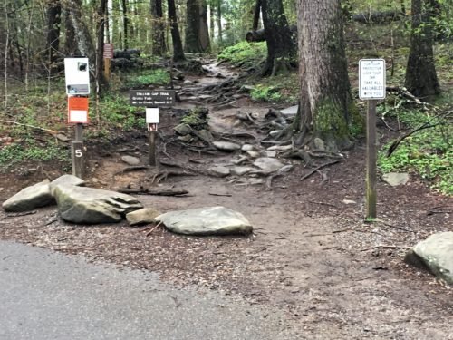
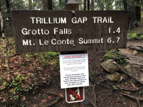
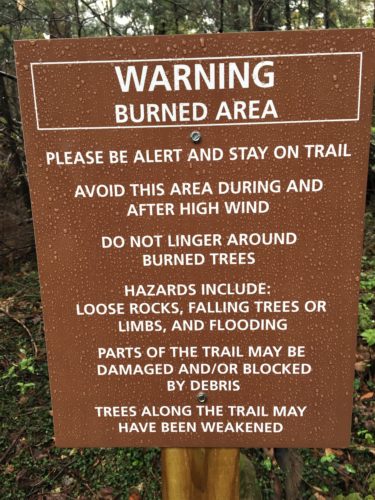
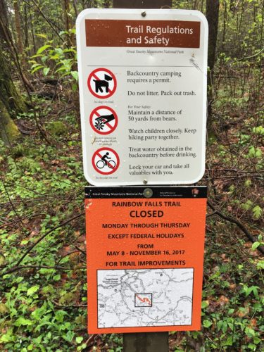
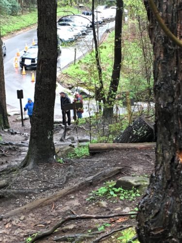
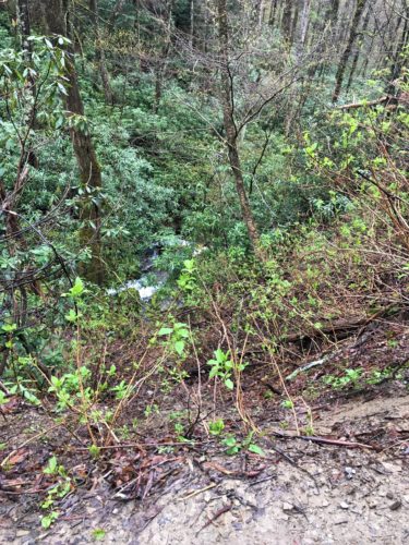
I went ahead to take a “perspective” picture so you can see how steep the climb is at the beginning of this trail.
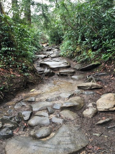
Thankfully, it wasn’t all like this! But it was a pretty steady climb, nonetheless.
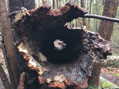
Looks like a good place for a bear to take up residence to me!
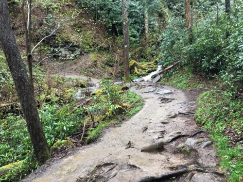
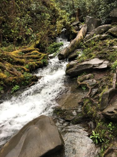
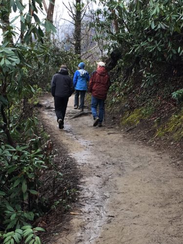
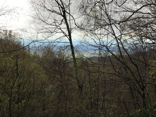
Hey! It’s clearing up some!
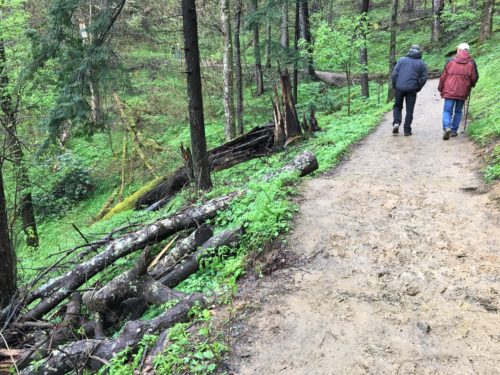
I thought my picture was crooked . . .
Until I realized they’re both leaning the same way! : )
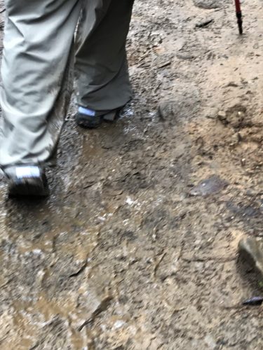
Blaine was trying to capture how muddy my pants were on the inside. : )
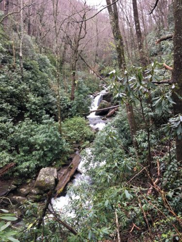
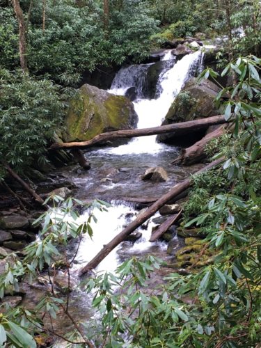
Almost there!
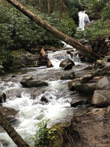
Not quite – but closer . . .
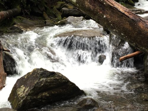
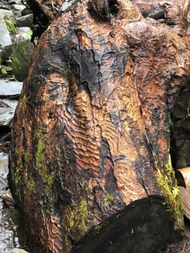
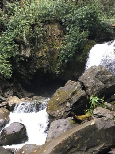
Just about . . .
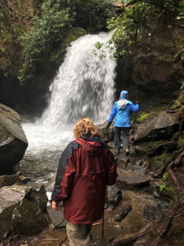
That’s it!
Grotto Falls!
Spendiferous!
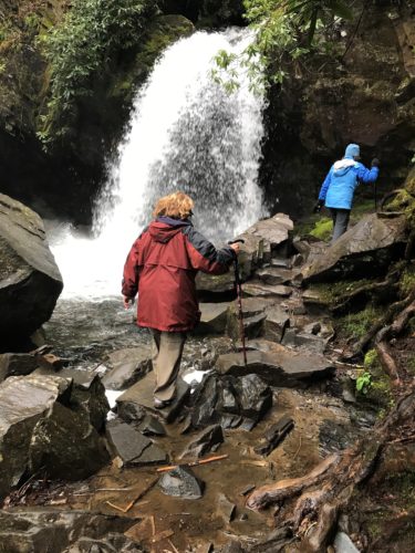
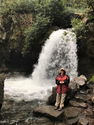
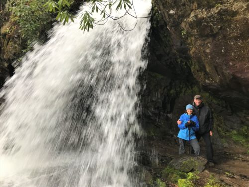
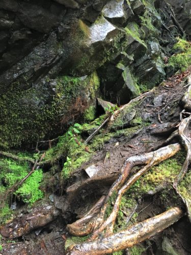
Of course, Blaine had to climb up here to take a picture.
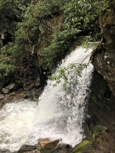
Here’s what he got for his effort. Pretty nice!
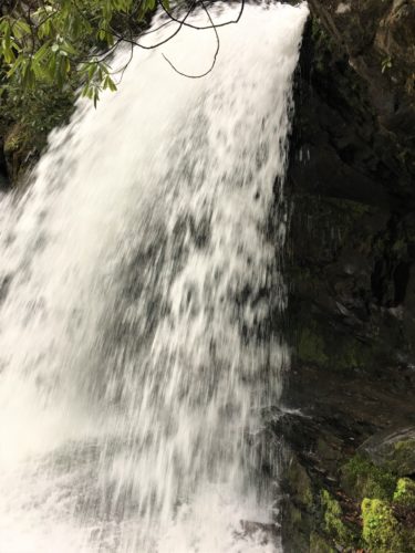
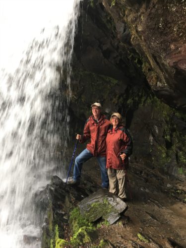
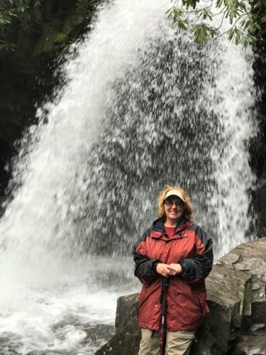
Our turn!
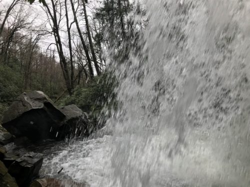
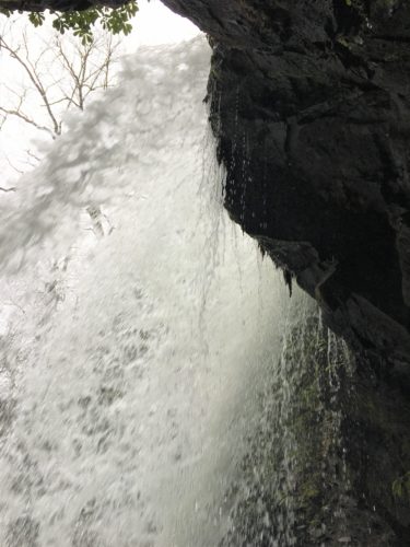
What an experience!
Time to head back . . .
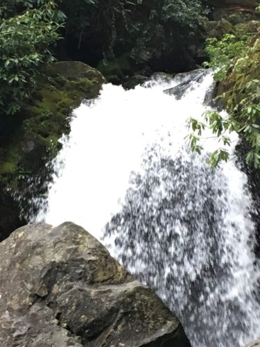
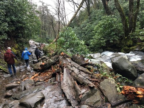
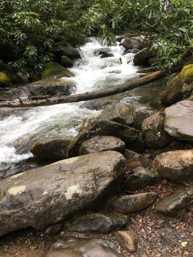
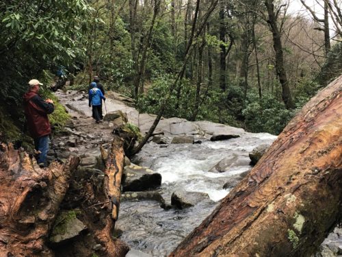
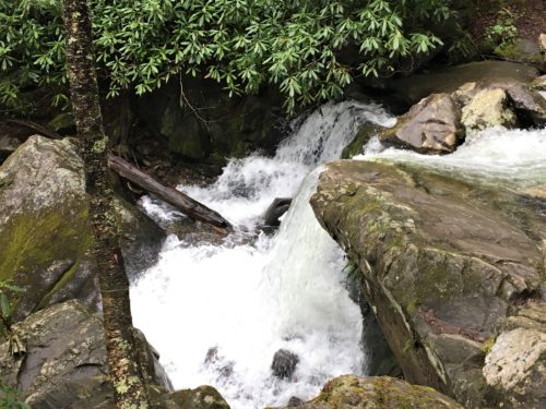
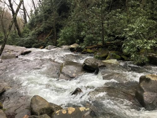
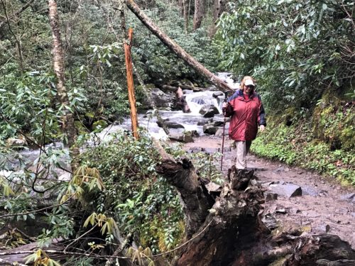
We had to cross a lot of streams on both trails today! Fun!
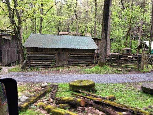
This place was right at the end of the Nature Road.
Look at that old truck!
Dinner out once again. This time in Gatlinburg. At Blaine’s! How could we possibly pass that up?

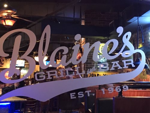
Boy were we a mess after hiking in the rain and slop all day! I never would have gone into a restaurant (or any public place) at home looking like I did – wet, bedraggled and muddy. As Burt (Dick Van Dyke) in “Mary Poppins” would have said, “Coo! What a sight!”
The food was pretty good, but not as good as last night.
We walked back to our cars – again in the rain – said our final goodbyes, and parted ways.
We had a fantastic time! Thanks for letting us crash your vacation Nick and Cathy! Hopefully you had as good a time as we did!
We are certain God orchestrated our meeting!
