River Plantation RV Resort, Sevierville, Tennessee
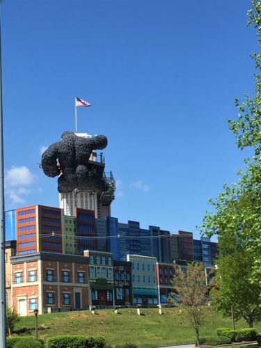
Am I still half asleep, or is that really a ‘life-sized’ King Kong???
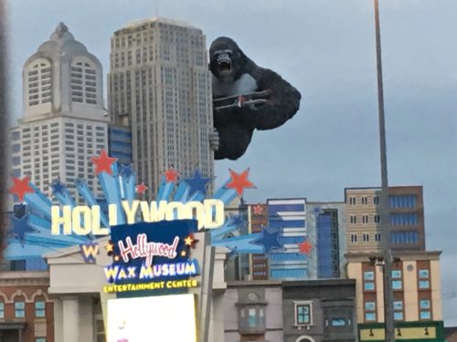
It really is!
I don’t know how they made it, or how they got it up there, but it looks realistic when you see it in the light of day – at least later in the day than 6:55am.
Today’s agenda is to hike to two different waterfalls and with about an hour drive, we needed an early start.
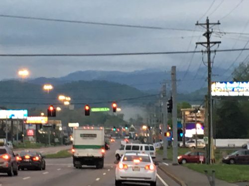
Driving through Pigeon Forge at 7am.
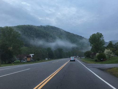
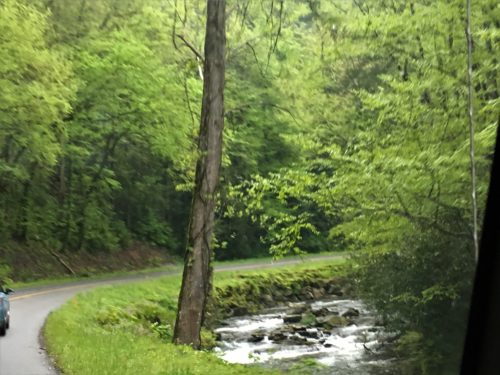
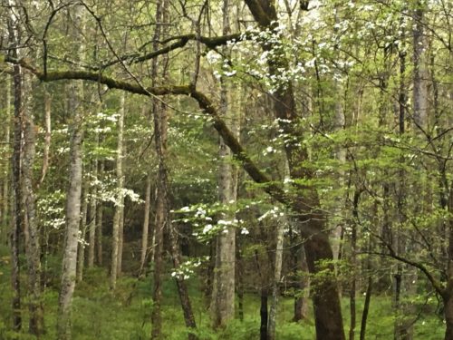
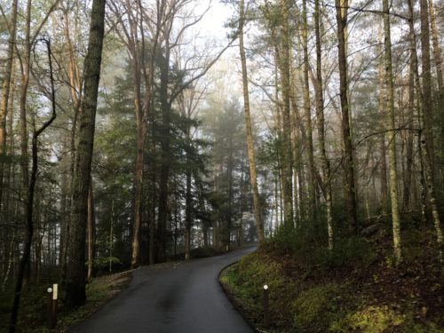
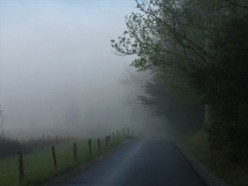
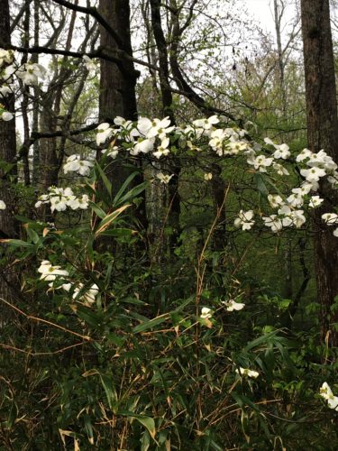
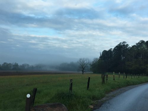
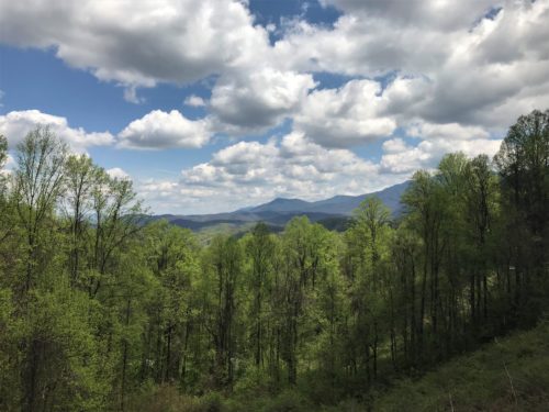
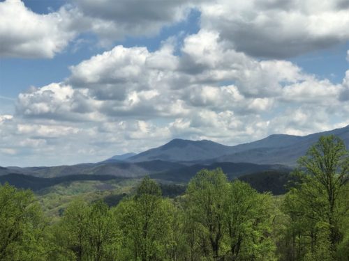
A pull-off with a splendid view!
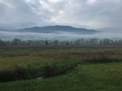
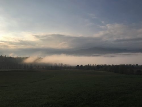
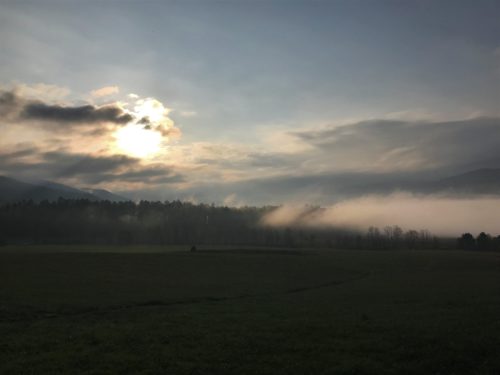
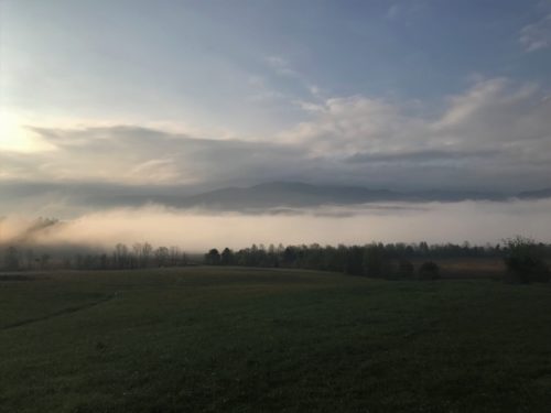
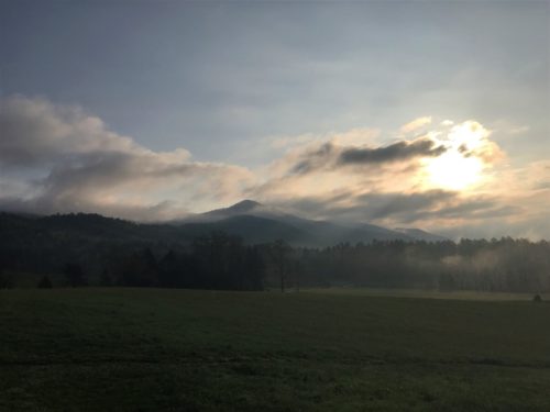
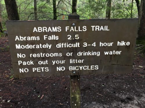
We’re starting with Abram’s Falls. It’s a 5.25 mile round-trip hike with an elevation change of 675 feet.
No raincoats today, but everything is still pretty wet, so it’s important to have good boots. They’re everything proof – – except mud. 😊
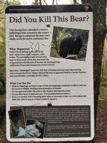
This is a sad tale. . . .
Even we wouldn’t let a bear that close to us!
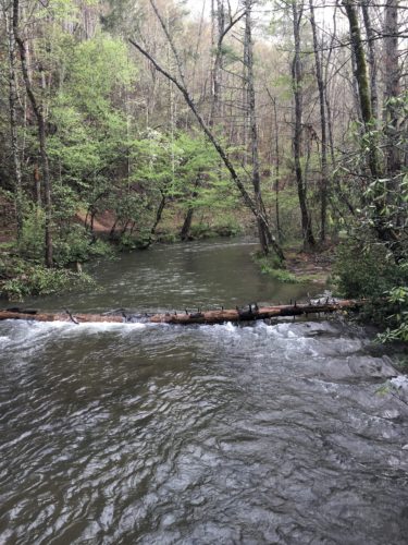
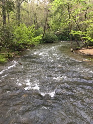
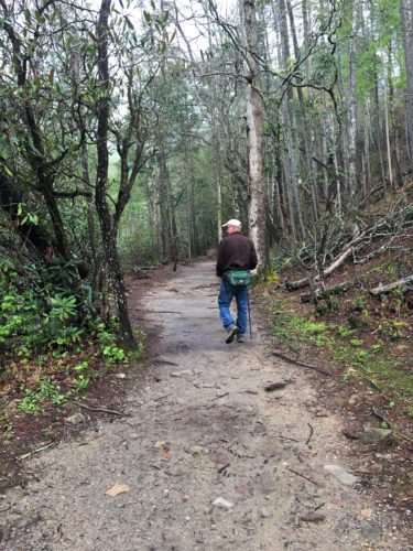
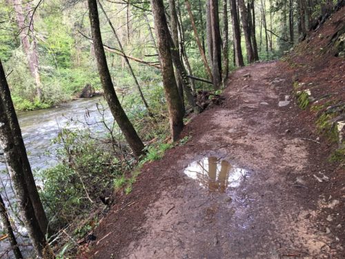
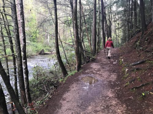
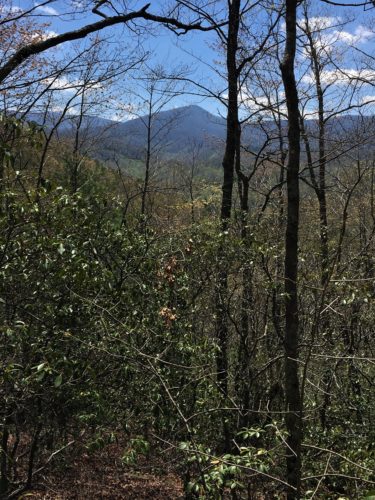
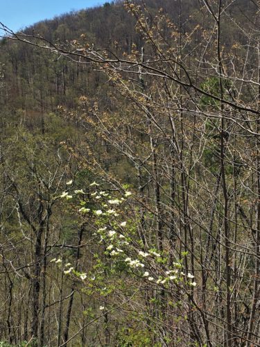
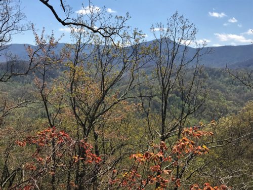
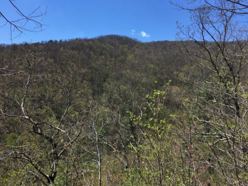
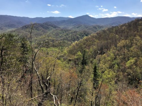
We had a wonderful hike getting to the falls, with lots of terrific views to distract us from the almost constant climb.
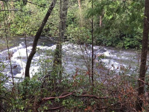
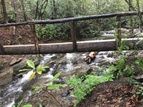
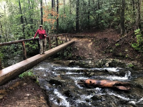
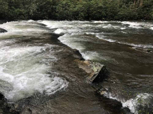
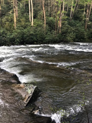
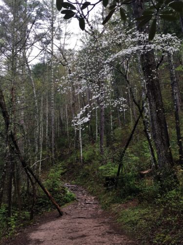
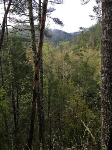
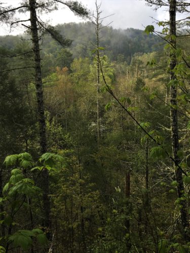
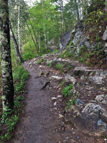
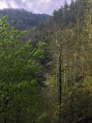
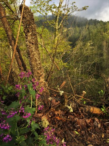
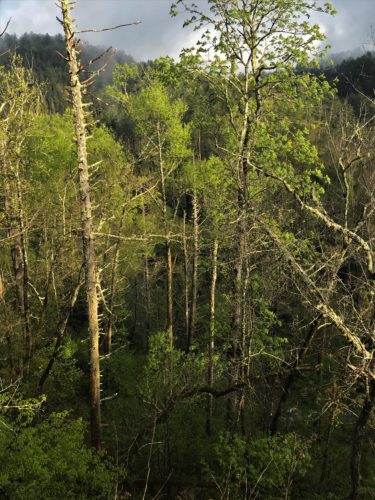
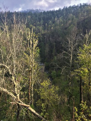
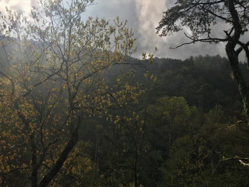
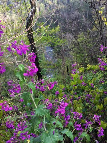
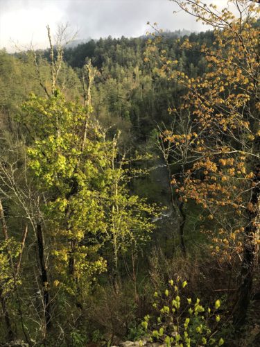
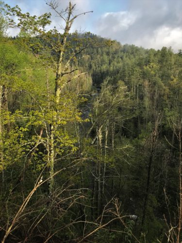
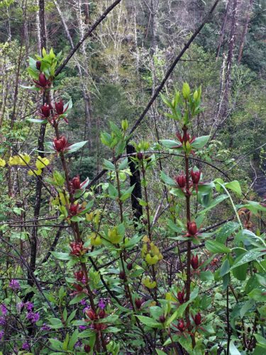
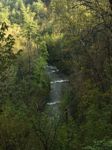
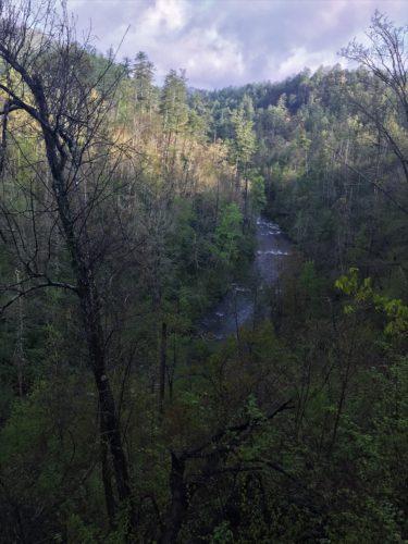
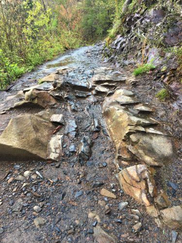
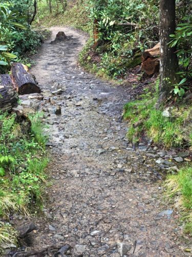
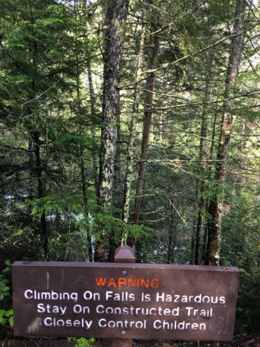
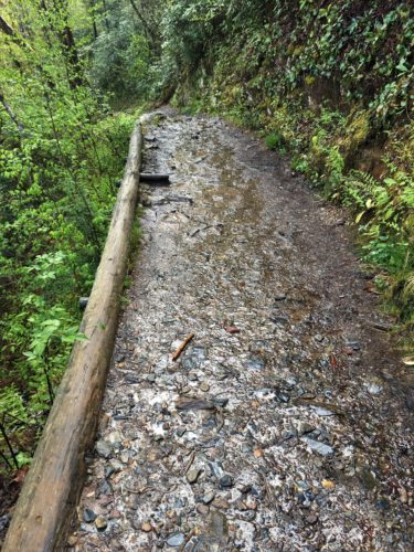
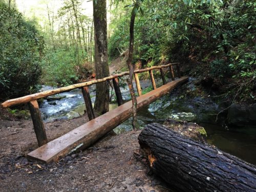
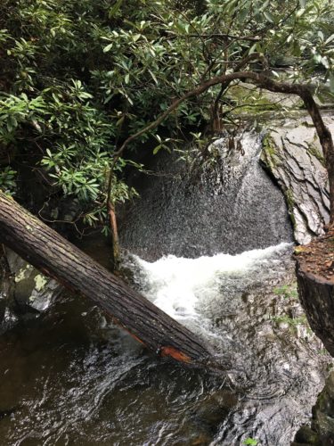
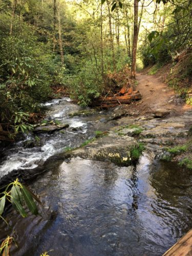
In 2008, Backpacker Magazine named Abram’s Falls as number 9 on it’s list of top 10 most dangerous hikes in America. Why? Because people don’t realize the danger of drowning here. They jump in and can’t get out of the torrent. There are strong currents and an undertow. There have been 29 deaths since 1971. YIKES!
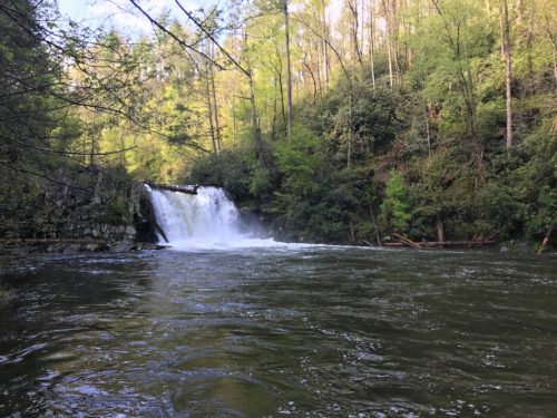
This waterfall is only 20 feet high, but is said to be the most voluminous waterfall in the Park. I wasn’t able to find a definitive number, but there are a minimum of 40 named waterfalls. I’m thinking that this one has an abundance of water whether it rains or not?
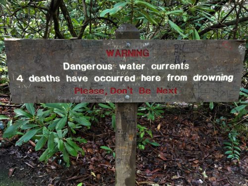
This must be a very old sign . . .
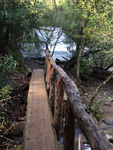
One more bridge and we’re there!
Once we arrived, there were two other couples (traveling together), up near Abram’s, so we hung back to wait our turn. When what to our wondering eyes should appear but – – –
A pair of otters!!
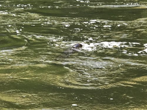
This is the best we got . . .
Cute, but elusive, little things! : )
They swam all over this pool area, usually in synchronized movements and making sport of avoiding the snap of the camera. We only got one picture, and it’s not all that great, but at least maybe you’ll believe me that they were there. 😊 At one point, one of them came out on the opposite bank with a small fish in it’s mouth. It seems the other was interested in sharing, but the captor was having no part of that.
After the quartet left, we had the place all to ourselves until we were ready to leave.
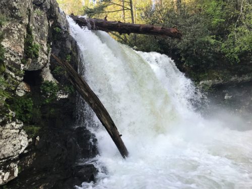
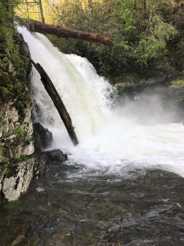
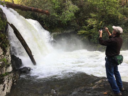
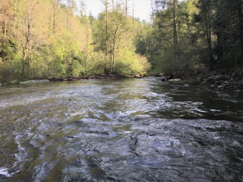
This is the area the otters were swimming in.
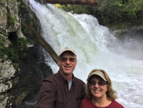
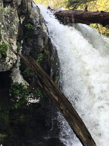
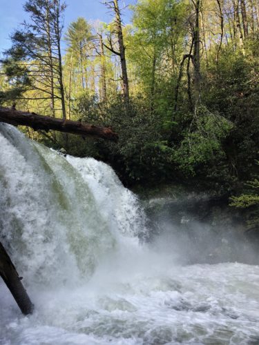
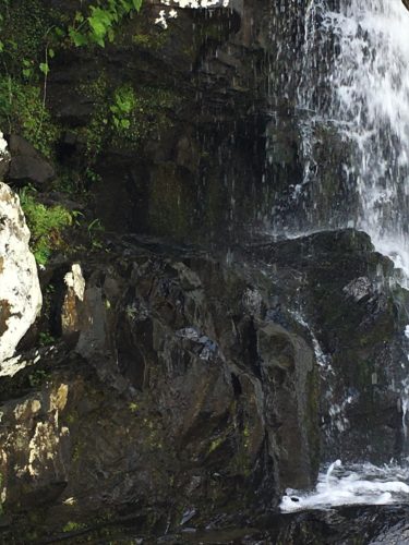
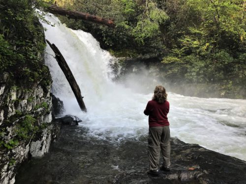
My turn!
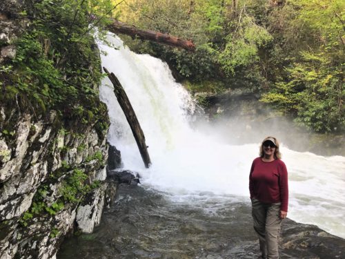
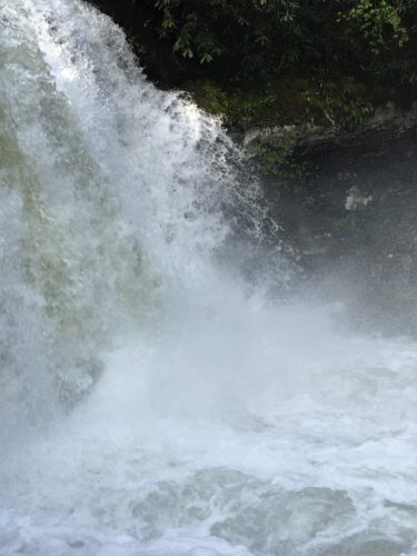
What a rush!
Time to go
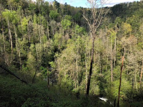
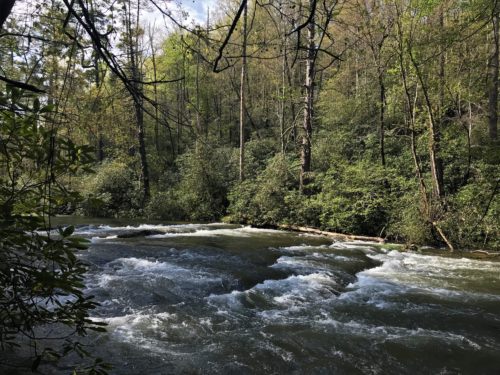
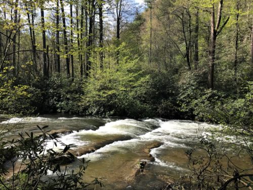
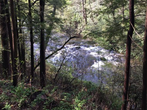
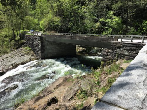
We made several stops along the way to our next destination; lunch alongside the road, views from the road, another waterfall called “The Sinks” that we happened upon as we drove, and a quick run into the Sugarlands Visitor Center.
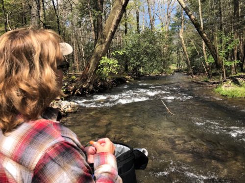
Today’s lunch view!
The water was so noisy, we couldn’t hear the traffic driving by behind us. : )
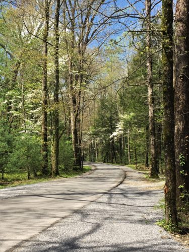
The road we came down
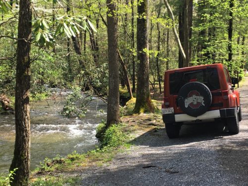
Here’s where we parked for lunch.
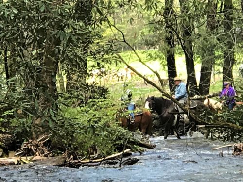
Look what crossed the stream while we were sitting there!
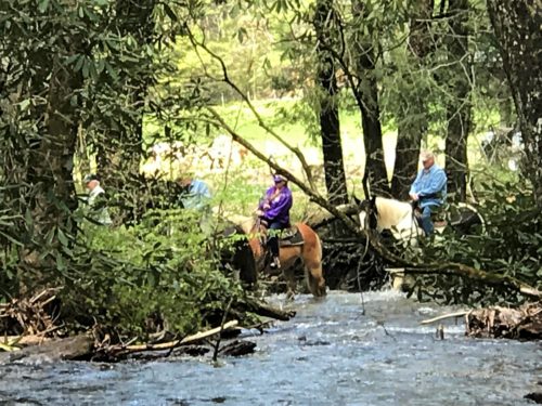
It was a riding tour of about 8 plus, there was a wagon with a couple of people in it.
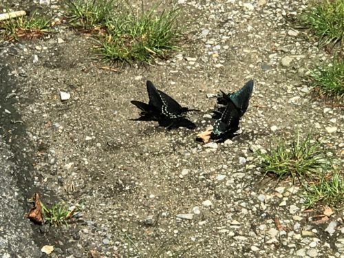
Blaine discovered these butterflies when we stopped to look at the river.
We’re guessing someone dumped their sugary drink here because they were more interested in eating than trying to evade us!
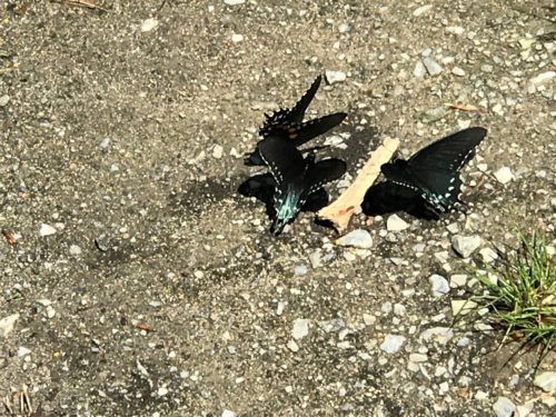
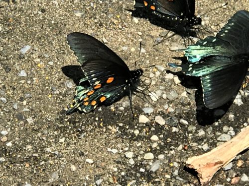
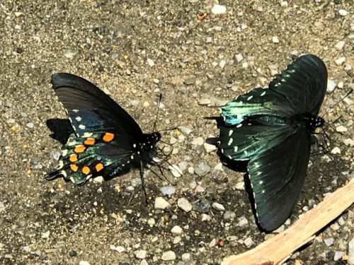
Beautiful!
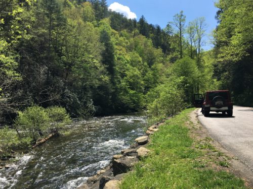
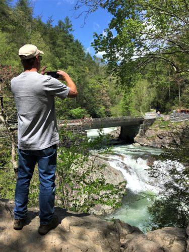
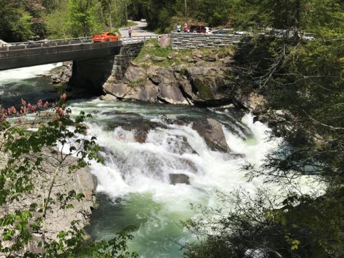
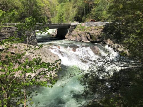
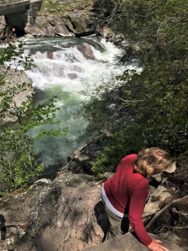
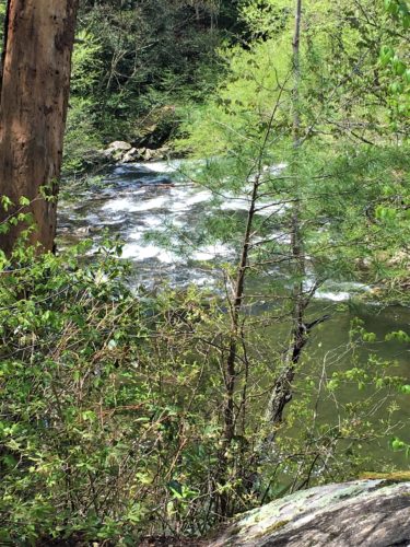
This is the river!
It sure is something, isn’t it!?
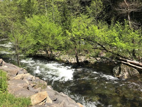
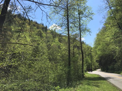
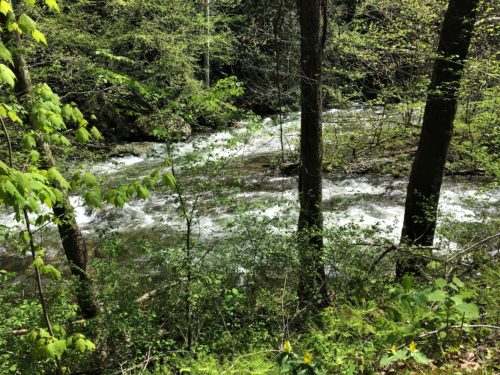
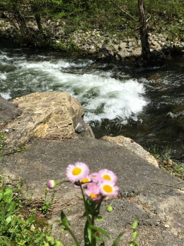
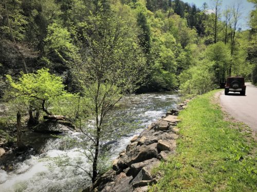
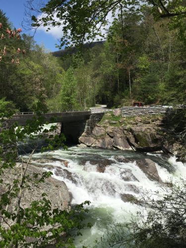
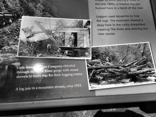
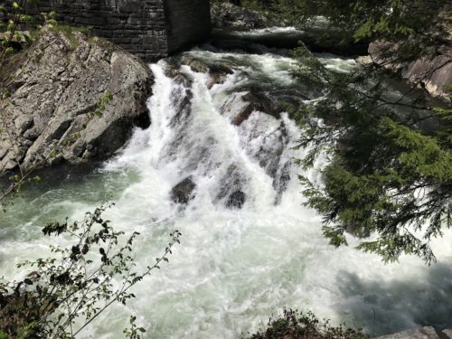
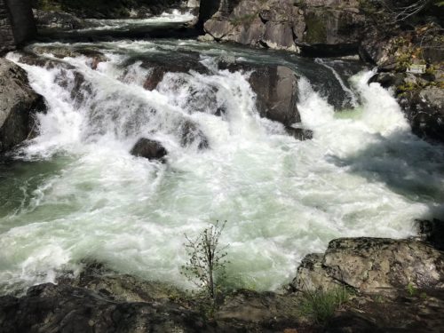
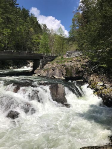
The Sinks.
This was a surprise! We didn’t know this was here until we drove to it!
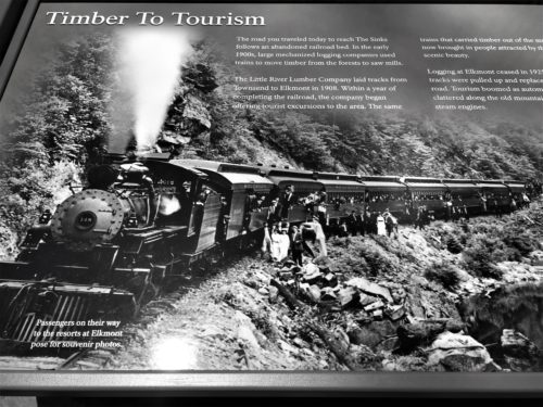
The Sinks.
The Sugarlands Visitor Center
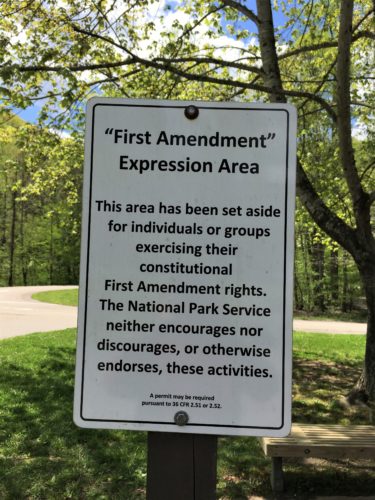
Interesting. Never seen this before.
No one was exercising their constitutional First Amendment rights while we were there.
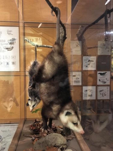
Something a little different
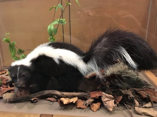
As was this. : )
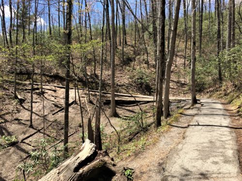
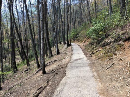
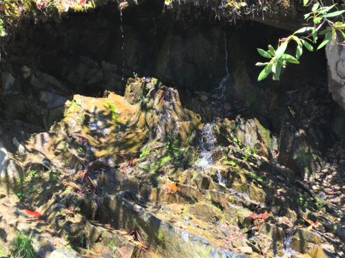
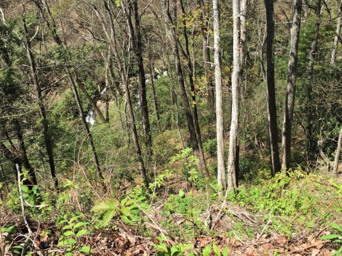
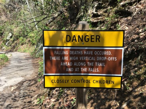
Then it was on to Laurel Falls. It’s a shorter hike at only 2.6 round-trip miles and a 314 foot elevation change. Doesn’t sound bad, but what they don’t tell you is that it’s eroding asphalt and rarely levels off, making the climb more difficult than you’d think – – especially if you’ve recently completed another strenuous hike. 😊
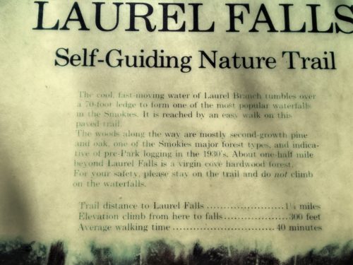
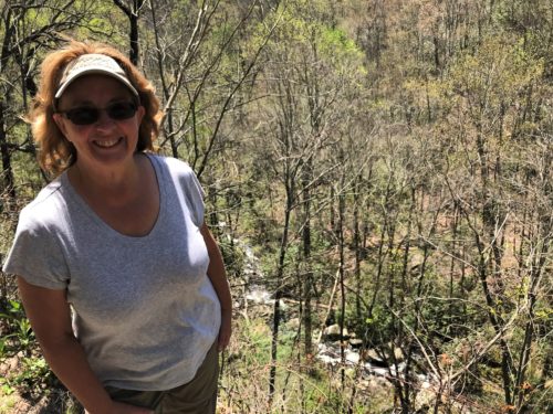
Blaine kept telling me that we’d done this one in the past, but I didn’t remember it.
Until we arrived.
Then it all came back to me. However, there wasn’t quite this much water last time.
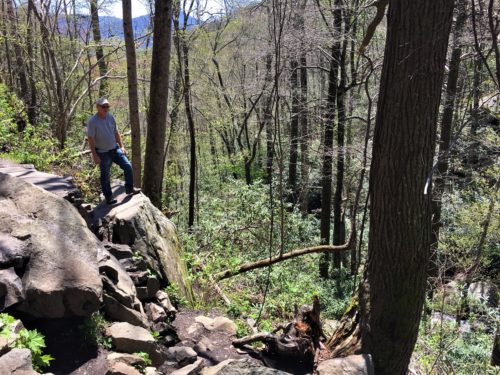
Blaine’s scouting the way down to the base of the waterfall.
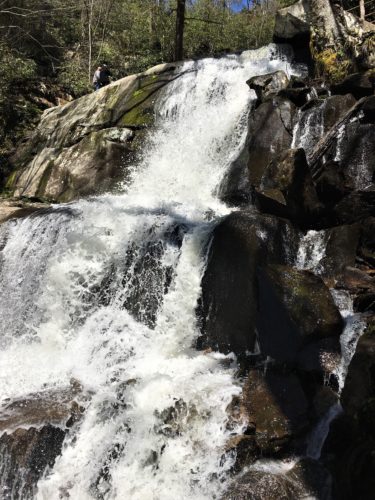
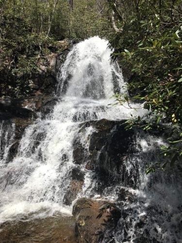
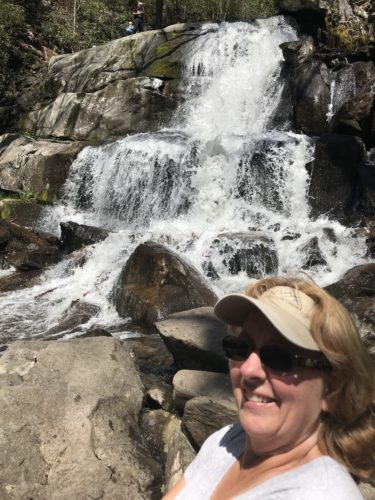
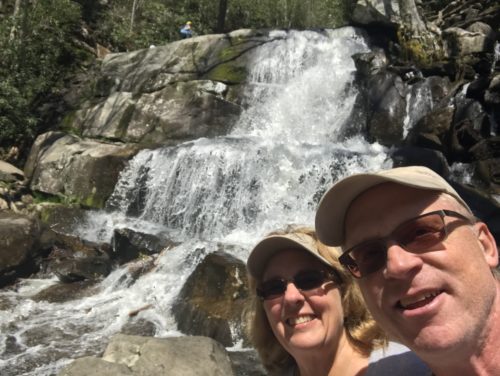
Laurel Falls
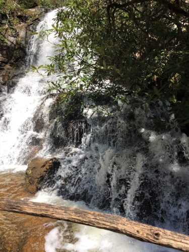
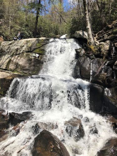
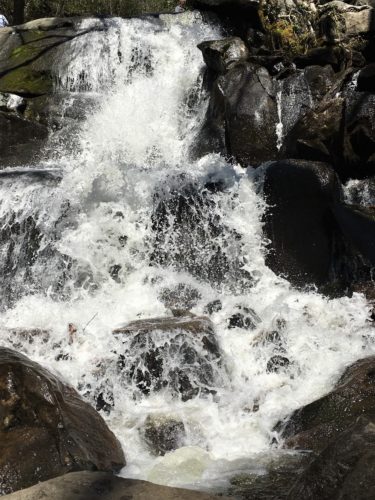
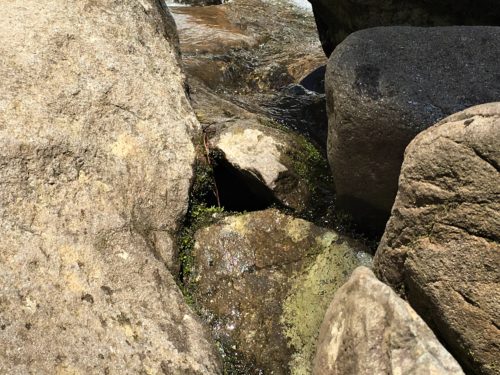
We sat at the base of the falls to rest.
The water was right under my feet.
Lovely!! And fun! And a bit refreshing as the mist landed on it.
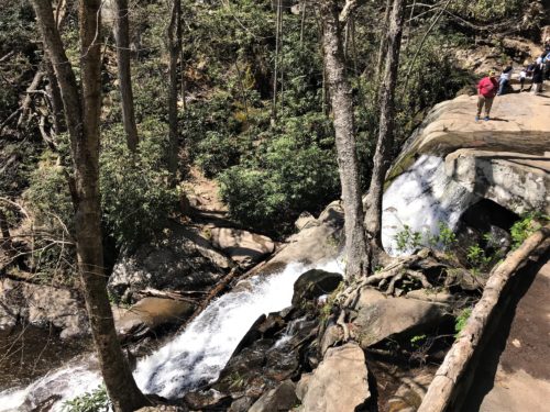
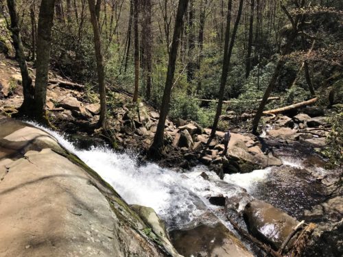
Back at the top . . .
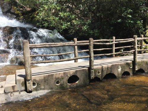
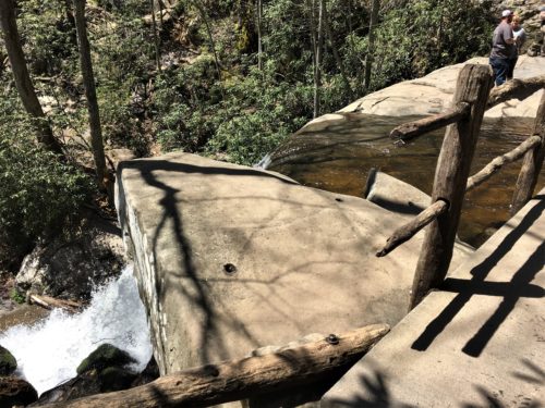
This is at the top of the falls.
When we returned to the top, there was a family with a toddler.
They were allowing the boy to wander freely on the other side of this bridge.
Now, I realize there wasn’t a lot of water there, but it was flowing fast and he was small enough to fit through those holes under the bridge.
Honestly! What do people think???
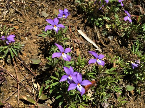
On the trail as we were returning.
Stunning!
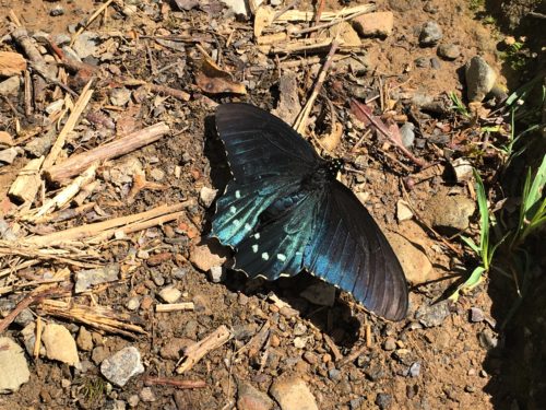
Another butterfly!
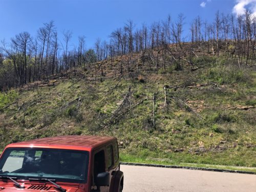
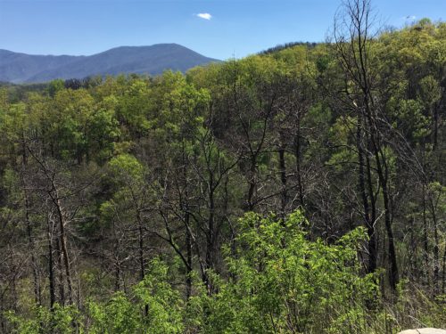
We’re now heading home along the same route and came across a pull-off view overlooking Gatlinburg. We saw evidence of the fire there, but it didn’t show up as well in the pictures we took.
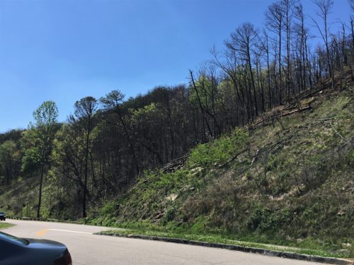
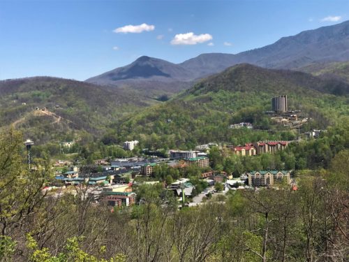
Gatlinburg
A delightful day!
