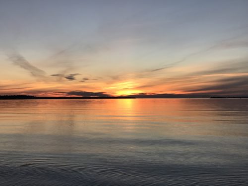
Munising Tourist Park, Munising, Michigan (Upper Peninsula)
How do you tune a fish? You get it to play its scales! Ha! That was Blaine’s outstanding, totally made up joke this morning as we were packing our lunch! Did you get it? Tune a fish . . . Tunafish? Hahaha! He cracks me up!!
We went back to punishing our bodies today. But lo and behold, it turned out that we were now in better shape and today we ended up hiking at least 11 miles, without suffering hardly any ill effects! Yeah!!
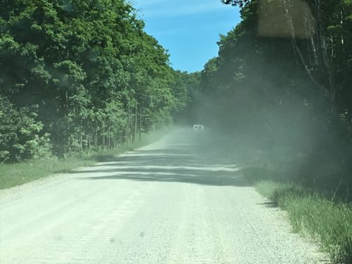
Our quest took us to the Chapel area of Pictured Rocks National Seashore. To get there, we had to choke on some dust only to discover that we were out of washer fluid. It was getting a bit foggy looking out the windshield by the time we got to the parking lot! Never fear though, my handy-dandy-boy-scout-fix-it man poured a bottle of drinking water (we keep some stored in the Jeep) in the reservoir before we left.
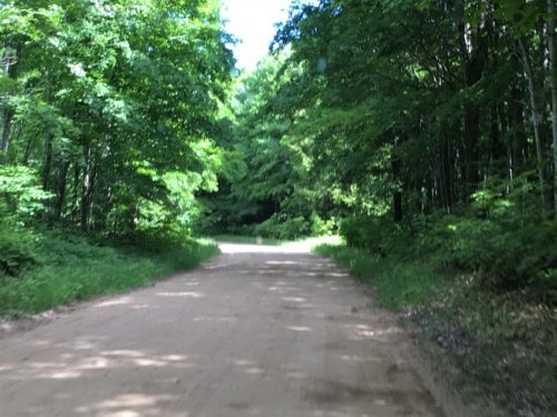
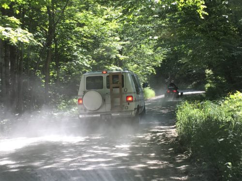
This motorcycle was traveling exceedingly slow. Not sure why, since he was in the front!
Made dusty travel even more prolonged.
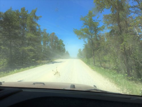
What life looks like through a dusty, dirty windshield.
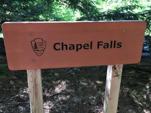
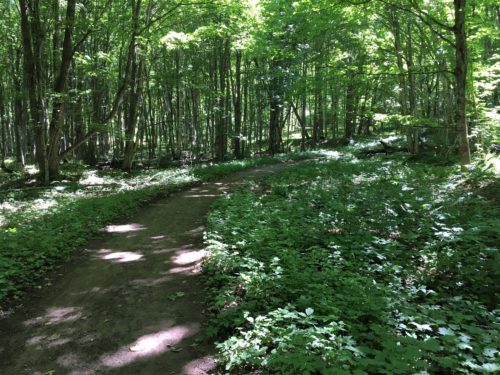
First up along the uneventful, super wide, easy walking trail was Chapel Falls, which was about 1.2 miles. The waterfall wasn’t easy to see, and will become even more difficult as time goes by and all the foliage continues to grow up. They have signs all over telling people to stay on the trail, but do they seriously believe people will? Currently, stepping over the trail edge is the only way you can see it.

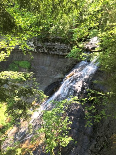
First view of Chapel Falls.
The trail took us around to the other side.
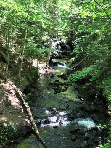
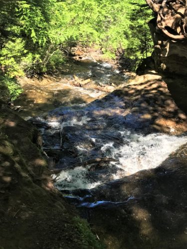
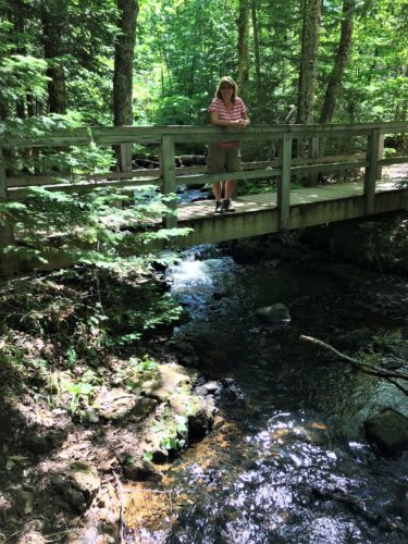
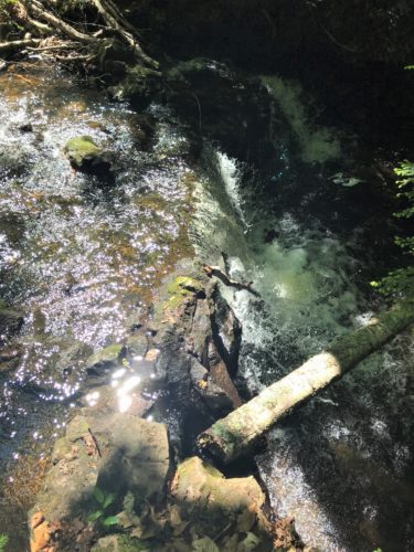
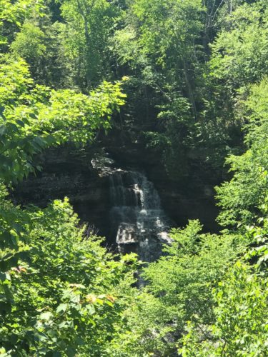
Our second view – but only because Blaine jumped the rail to get a picture.
I stayed where I was supposed to and could see very little.

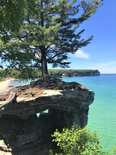
Our quest continued another 1.9 miles to Chapel Rock which was really our ultimate goal. Blaine and I’d been here quite a few years ago. We remembered the unique spot where a rock supported a pine tree and the roots of the pine went across thin air and imbedded themselves in a rock about 30’ away. We thought it was really cool then. That hasn’t changed. What did change, though is that it’s now all cordoned off so you can no longer walk around the base of the supporting rock. ☹ Too much erosion and too many people, I’m sure.
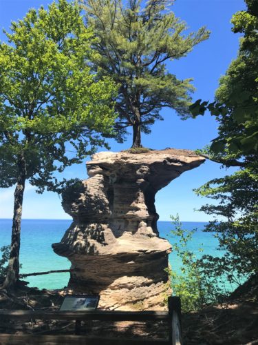
Chapel Rock
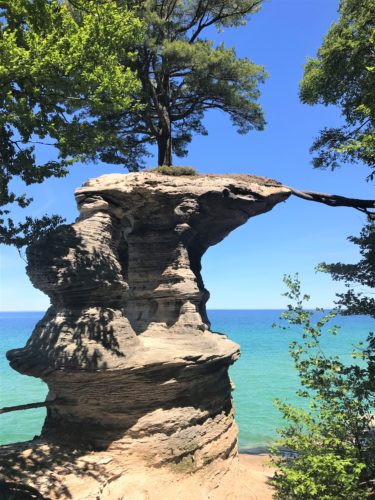
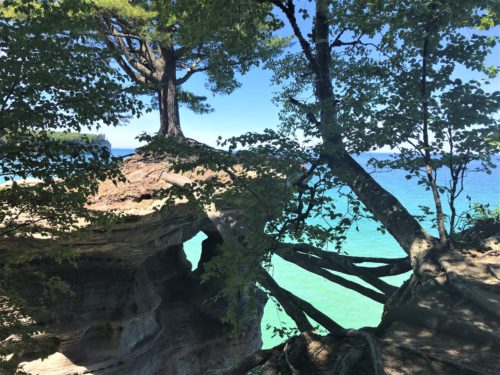
Isn’t that amazing?!?!?
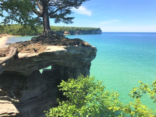
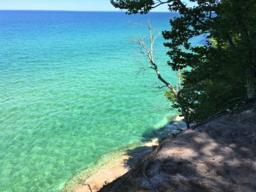
While Blaine was taking pictures of the Rock, I turned the opposite direction.
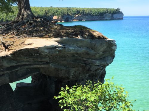
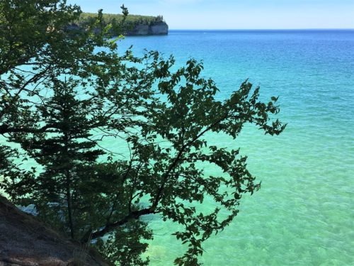
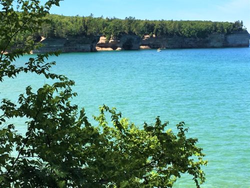
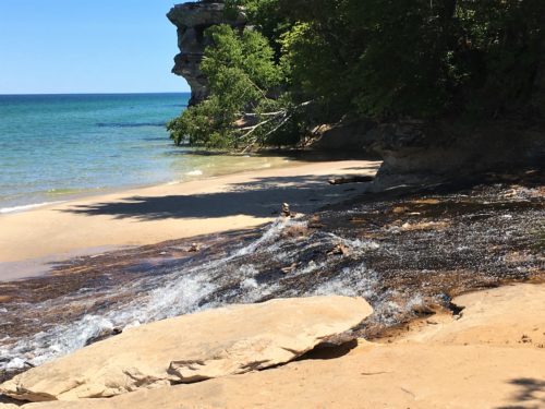
I also thought I remembered a river emptying into Lake Superior at this place, and I was right!
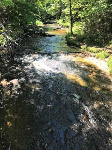
This is the river I mentioned.
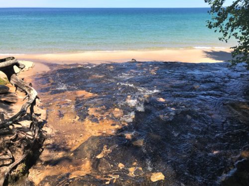
Isn’t that cool looking?
Here, we also encountered Chapel Beach. Terrific place to stop and eat our tunafish. 😊
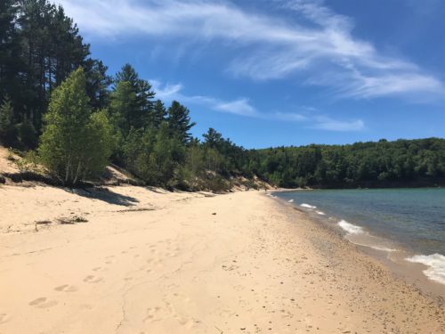
Chapel Beach
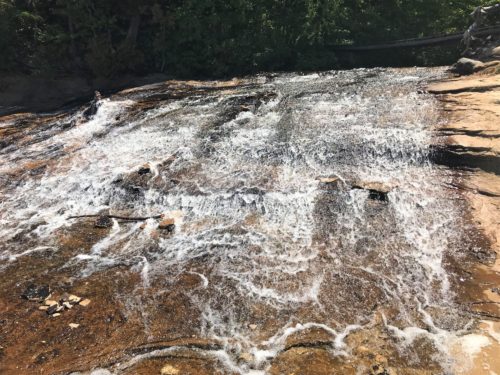
The Chapel River as it nears the end of it’s journey to the Lake.
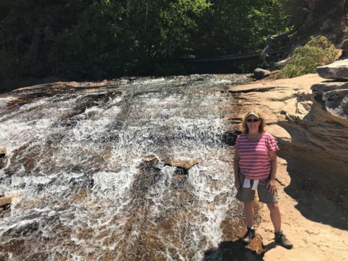
Bigger than you thought?
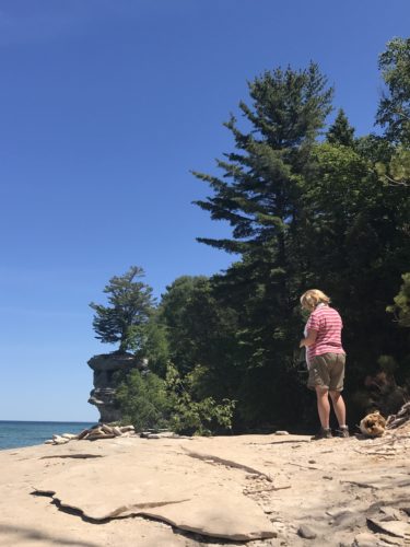
Sometimes Blaine takes these random pictures of me. I have no idea what I was doing. Probably checking pictures to see if I’d missed anything.
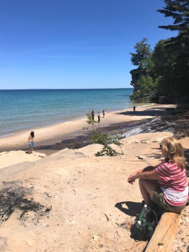
It’s probably not often you can enjoy lunch in a place this special!
The day was spectacular, the color vivid, the sounds soothing, as we sat and took it all in.
We could hear the water splashing over the river rocks, and also hear the waves from Lake Superior.
Marvelous!
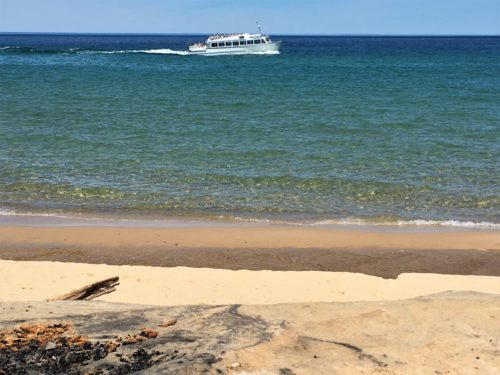
Tour boat passing through our lunch view
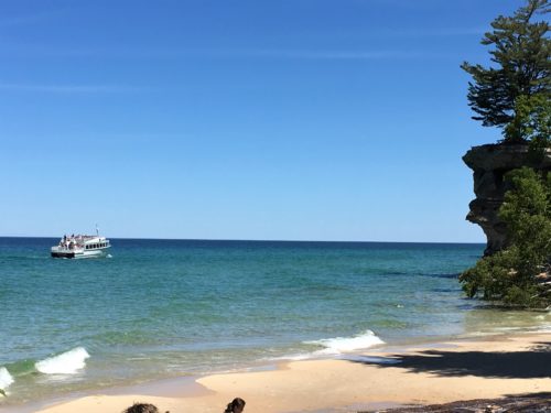
After lunch, we walked as far as we could to the left – the rest of the beach – just to see what might be down there.
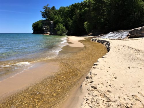
The Chapel River completing it’s journey.

Look at the green in the water down here!
Gorgeous!
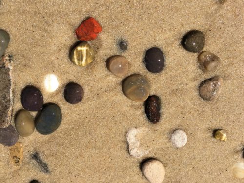
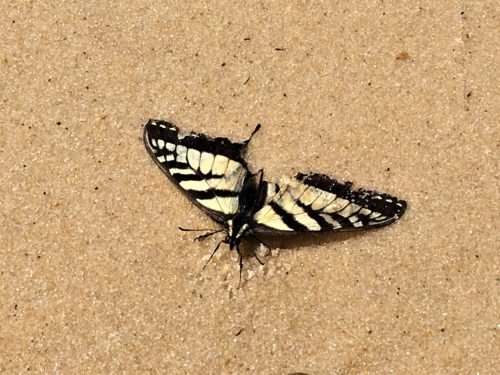
Aww . . poor thing! : (
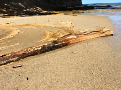
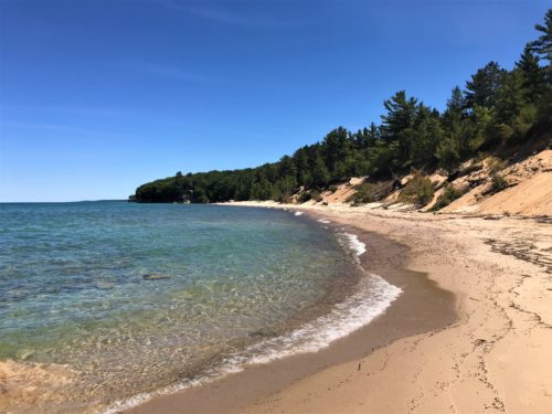
Looking back
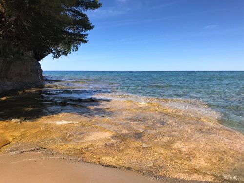
We could either return on the same trail, or take another one, making it a loop. We choose to go the different one, of course, with the hope that maybe we’d see something more exciting along the way.
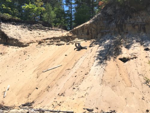
Signs of erosion
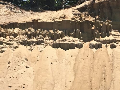
The sand pillars reminded us a little of Bryce Canyon, Utah
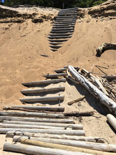
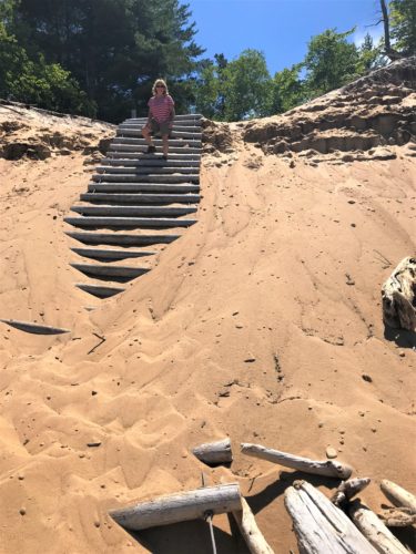
We had to climb up here to get off the beach to the other return trail.
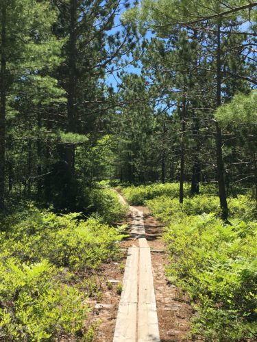
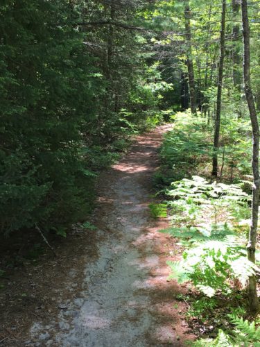
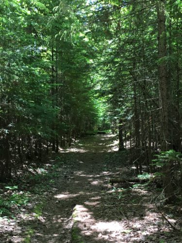
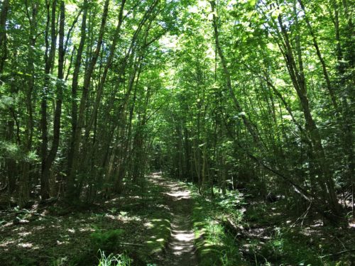
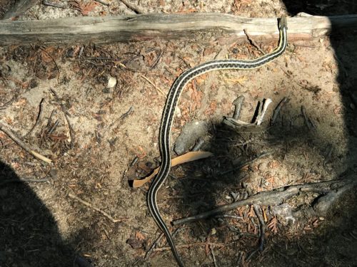
There was a glimpse of Chapel Lake, a fleeting glance at a deer, and a garter snake when we stopped to view the lake. But that’s it. This is why we were able to go so far so fast – mostly flat, unobstructed walking that all looked the same. But I’d say the views in the middle more than made up for the monotony of the trails!
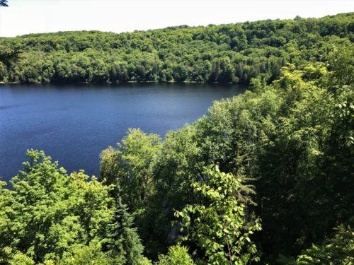
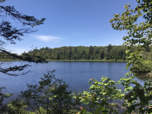
Chapel Lake
There was a family from Indiana that we’d talked briefly to on the beach, who were on the trail just ahead of us.
They pointed out the deer to us.
We passed them, and then showed them the snake. Their 5? year old son wanted to pick it up.
Reminded me of our two sons. : )
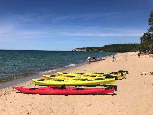
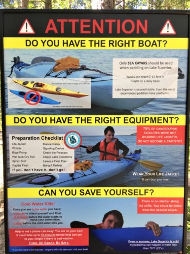
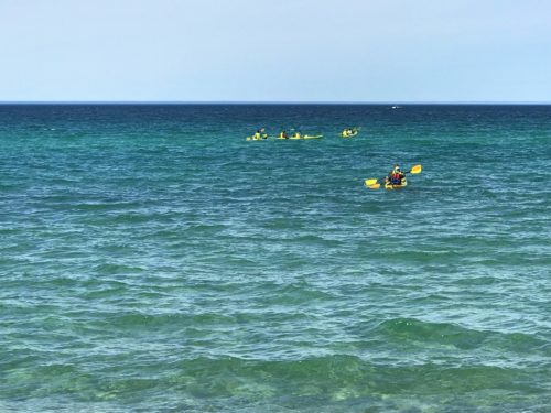
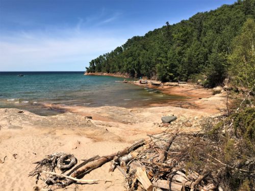
Even though we’d just finished 6 miles, we weren’t ready to call it a day just yet, so we went over to Miners Beach, not far from where we viewed Miners Castle the other day. This was another potential area for kayaking, but between the Ranger the other day, the posted sign, and watching the sea kayakers take off, we knew there was no way. Renting a sea kayak was $162 – – – – per person!
We were trying to find the Miners Beach entrance to the Pictured Rocks Scenic Trail, but it wasn’t clearly marked and we struggled a bit until a local (we presume) came along and helped us out. He mentioned that we had a ½ mile climb to start, but for some reason, we didn’t really believe him. Turned out, he was right!
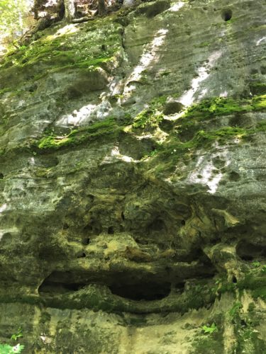
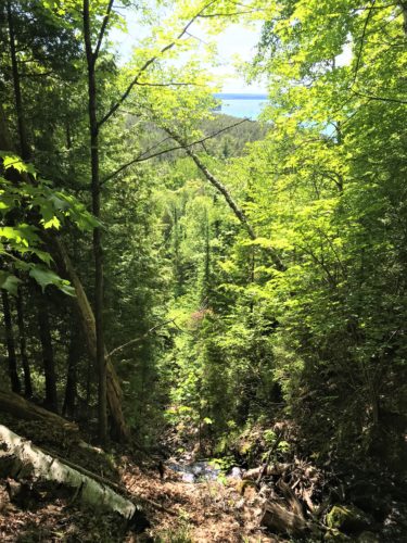
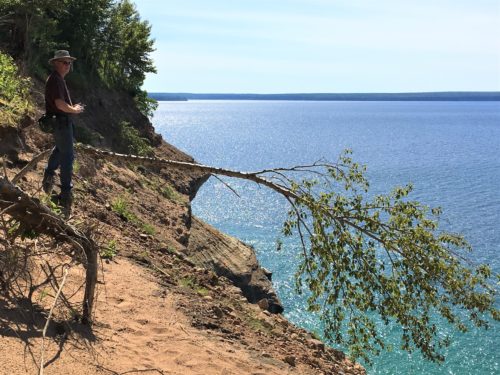
Once we completed the climb part, it was more of the same flat, uninteresting trail. However, at least this time, there were periodic trails off to the side where people had made a way to the edge trying to get a view. There were a couple of vistas, but not quite what we were looking for. Greedy people!
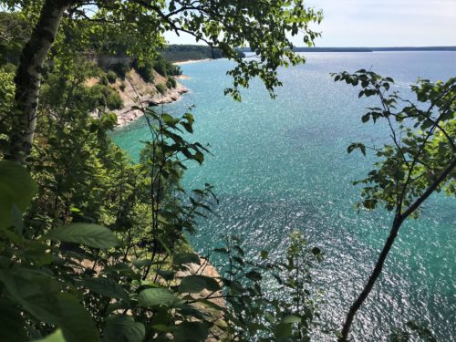
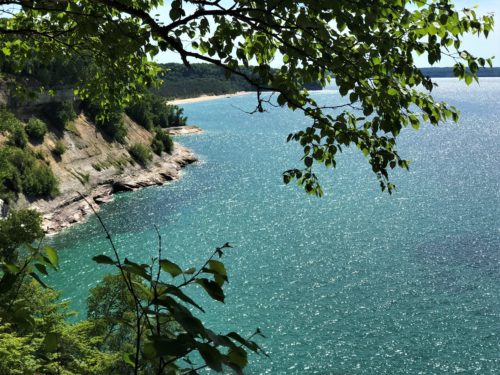
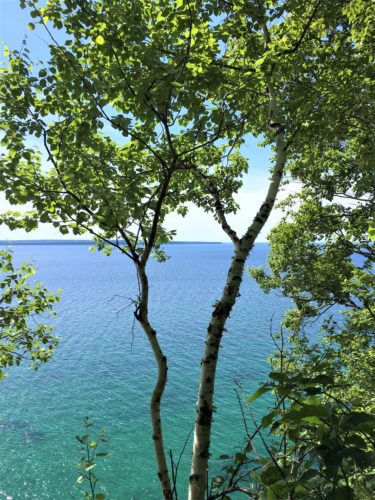
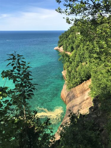
More pollen.
Beautiful view!
Then we passed a couple coming from the direction we were headed and I stopped them to ask whether there were any vistas up ahead. They confirmed there were a couple, and then the woman mentioned that “the arch was up ahead”. I asked about how far, and the guy said about a mile from where we were standing.
He didn’t really want to, but Blaine agreed to indulge me, so we trudged on.

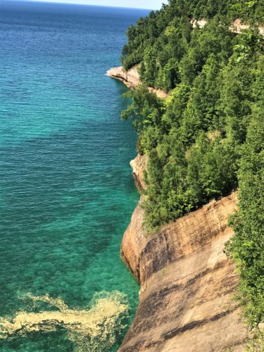
Just look what we found!
Pictures don’t do it justice!
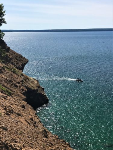
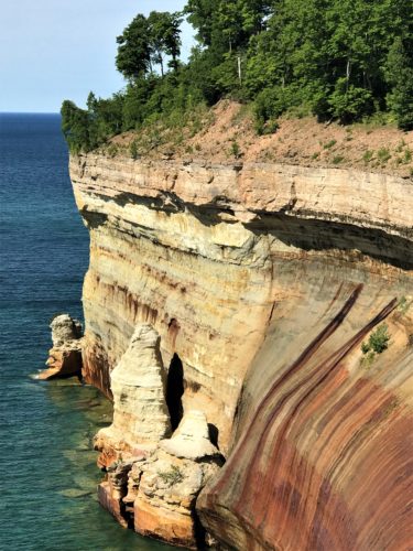
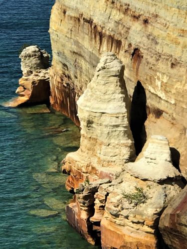
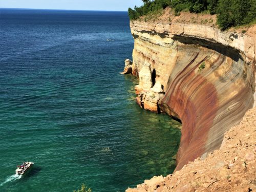
See the kayakers in the upper part of the picture? They’re really tiny, so you have to look close!
They’re on their way back.
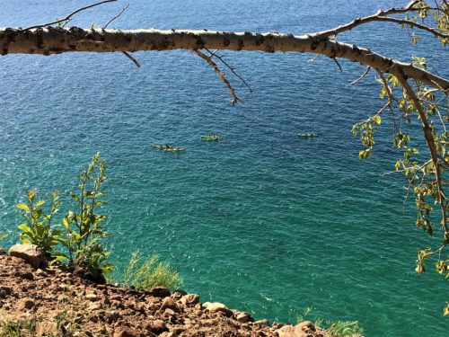
Kayakers again.
After witnessing the stunning beauty of this vista, we were just about to turn back, when I persuaded him to go “just around the bend” to look for the Arch, and there it was! With the sun shining on it, so the lighting was perfect!
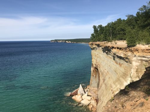
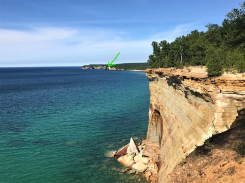
The Arch
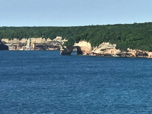
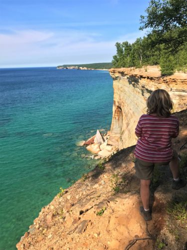
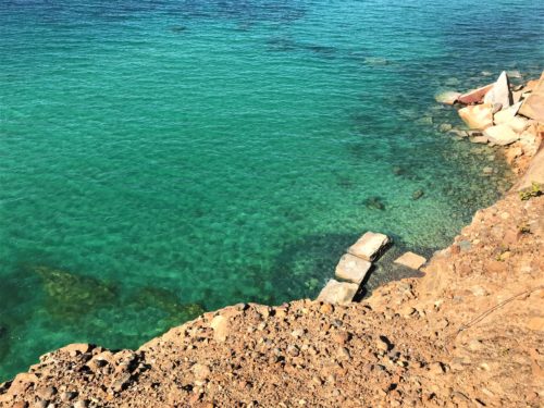
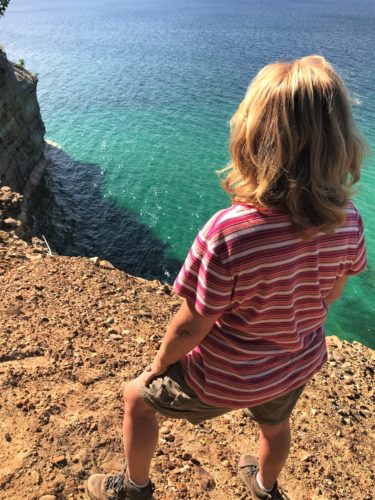
Trick photography.
I’m not nearly as close as I look!
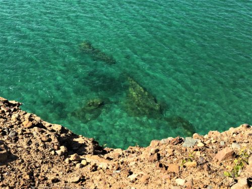
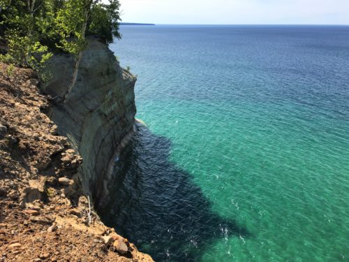
Since we had no way of knowing how far we’d gone, we timed our return. Based on that, the estimated hike distance was a total of four more miles.
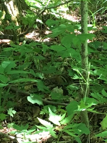
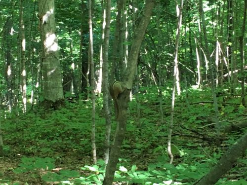
There were chipmunks everywhere teasing us! Posing for perfect pictures and then running off just as we snapped!
These are the best we got.
And we still felt pretty good! Only now we were hungry . . .
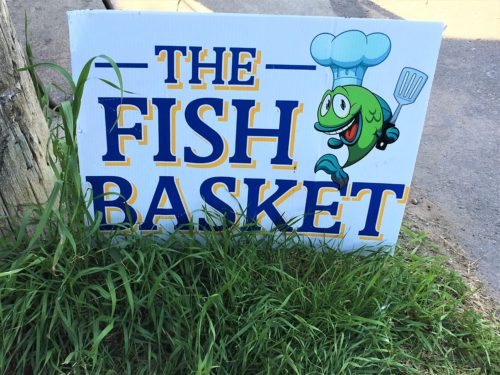
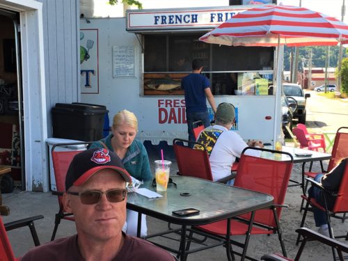
Dinner at the Fish Basket! It’s sort of a street cart, but it was every bit as good as Blaine had researched about it!
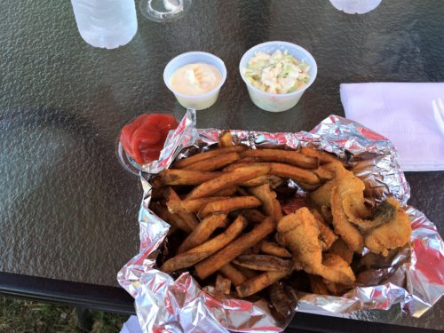
I had the 1/2 pound dinner
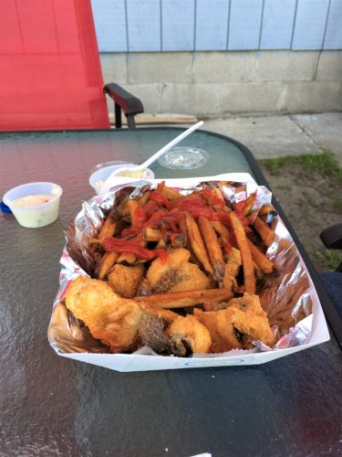
Blaine had the 1 pound.
Oh. And I didn’t take a picture, but there was a street cart just behind where we were sitting selling fresh squeezed lemonade (like at the fair), for only $6.75 – -per glass!
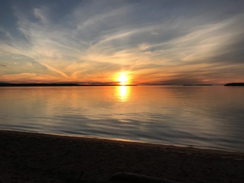
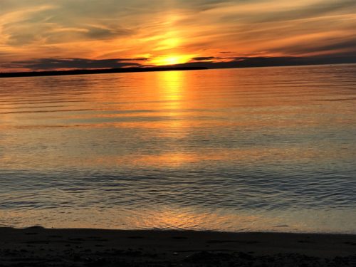
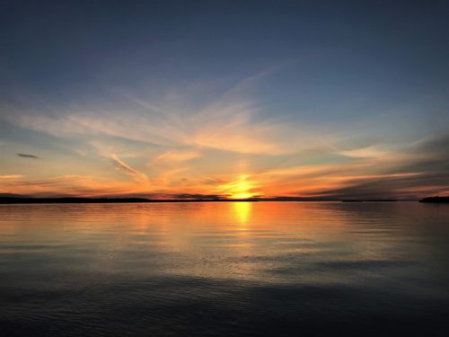
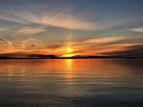
We were blessed to end our day with another beautiful and serene sunset!
