Grand Marais Campground and Marina, Grand Maria, Minnesota (20 miles south of Canadian Border)
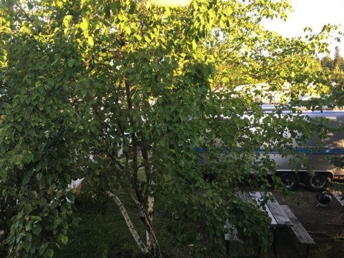
Good morning!
Blaine chose today to visit Grand Portage. Grand Portage is several things . . . a town, a state park with a waterfall (which at 120’ is the highest in Minnesota), a national park, Ojibwe Indian grounds, and maybe a few other things I’m not aware of.
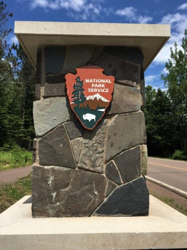
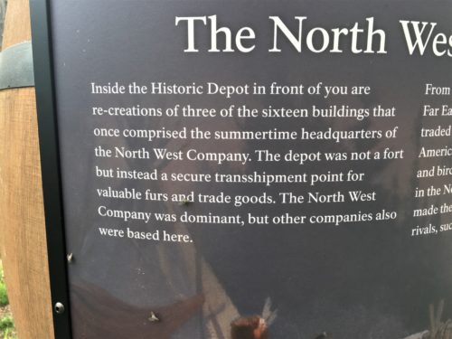
Early this morning, we stumbled into the National Park – The Grand Portage National Monument. Blaine knew there was a National Park here, but had no idea it was a Fur Trading Post reenactment area. We hadn’t read anything about it. Boy were we surprised, especially since I was expecting a waterfall!
We parked the Jeep and started following a sidewalk/path and walked right into this tee-pee area where a couple of women looked like they were setting up for the day for something. One of them smiled at us, but other than that? Nothing.
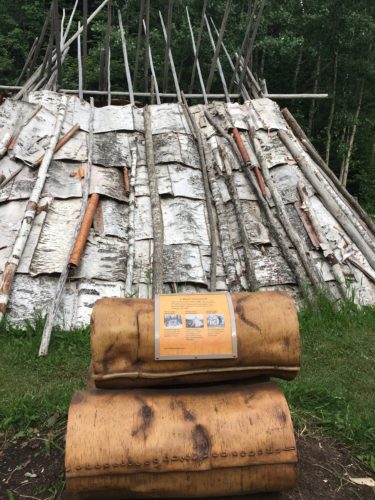
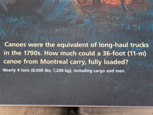
Can you believe that??
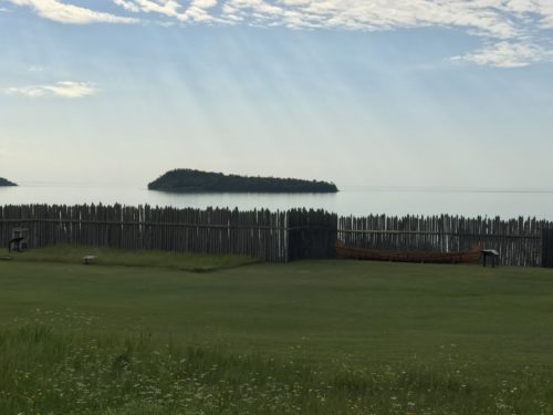
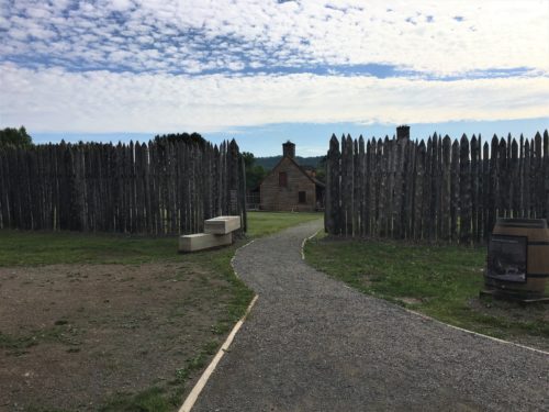
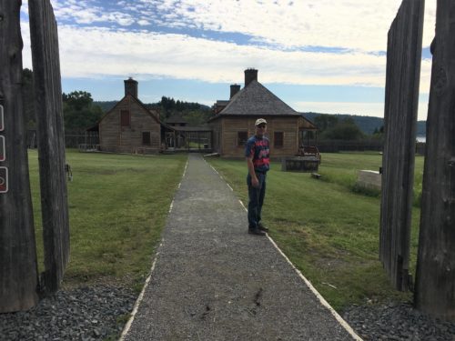
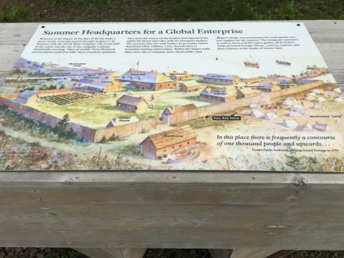
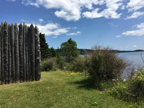
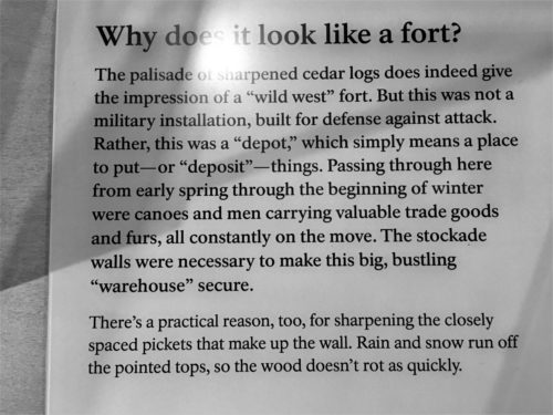
We kept walking and ran into a palisade-surrounded area that was open, so we walked in there and saw a couple of buildings and some information signs.
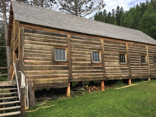
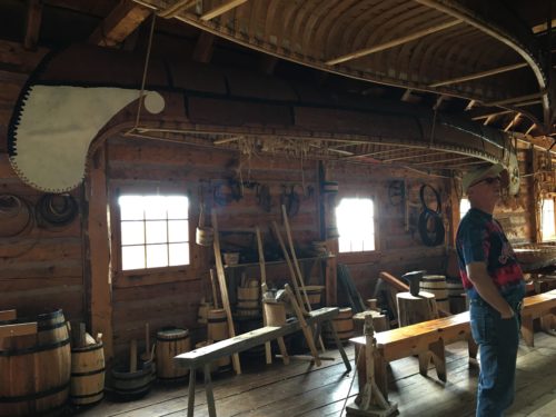
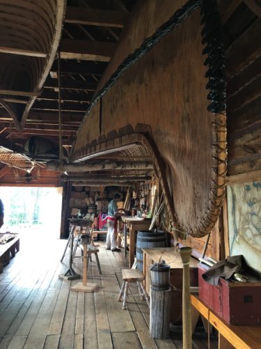
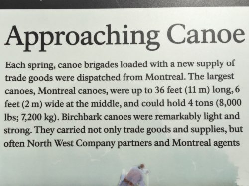
We walked into the smaller building first and a young guy was dressed in costume and doing . . . something. The building was full of canoes and things that go along with building and carrying stuff. He said “Good morning” but that was it.
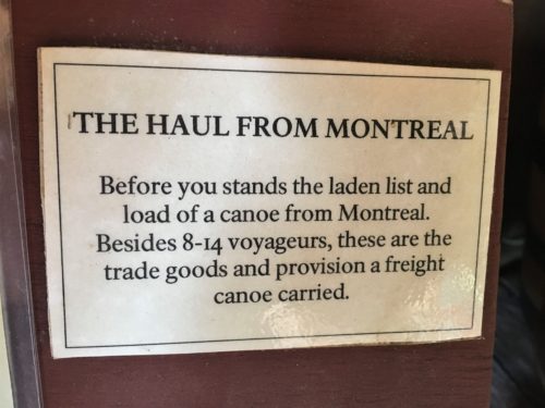
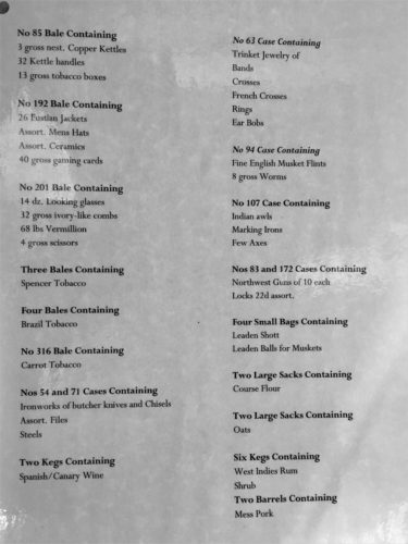
I was surprised to see this list of items – there’s even tobacco from Brazil!
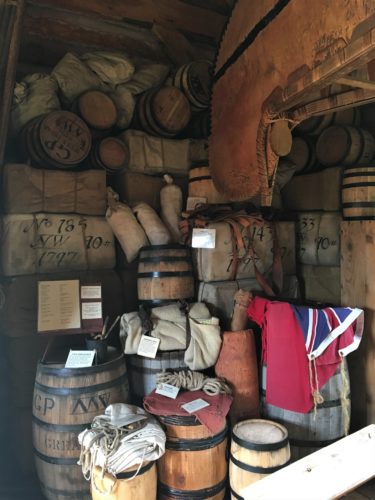
All this time, we kept thinking we must be really early . . . there was no one else around, but everything was open and no one chased us out, so we just kept going.
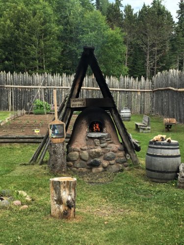
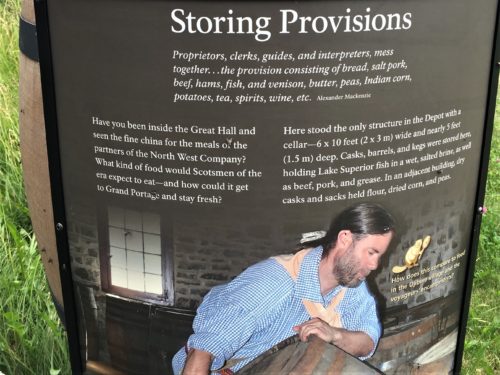
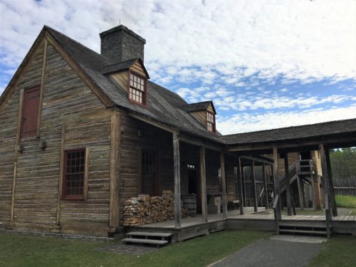
We hit the other building, which ended up being two connected buildings. This was a giant kitchen area and there were two guys in here dressed up. However, one seemed to be middle school or early high school age. The other guy started telling us how this place used to be an extremely important trading post in the 1700’s. Actually up until 1802. He said it was called the North West Company, and this was where the personal chef of the owners worked, preparing food for about 1,000 men.
This is the kitchen.
I was surprised to discover that I didn’t take any pictures in here.
Then we went into the larger building and discovered another gentleman dressed up who told us all about the place and the things we were looking at. Very Interesting! And we got a private tour! He’s the one who told us a bit more about the Post. It was the largest fur trading post in the world! People would come from all over – the trappers, the Indians, the English, the Americans, really anyone who had anything to trade. The reason they closed in 1802 was because it was British-owned and once the Revolutionary War was over, the Americans planned on taxing them. They refused to be taxed (funny since they had no problem taxing us!) and when they left, they burned everything down. I don’t know how they knew how to reconstruct the place. There must have been some pretty good records. Plus they have a guy who’s always searching ebay, etc. for artifacts from the period.
But let’s back up a bit. Back to the French and Indian War against Great Britain. That was from 1756-1763 and just to be brief, the Indians liked the French because they were cordial and appreciated the Indians and the help they could give them. And they weren’t trying to take their land from them. By contrast, the Americans and the British were always taking. So, when the French got mad at the British, the Indians joined the French. If you remember any of last year’s posts, this is the war where the British forced the Acadians out of Nova Scotia because they wouldn’t sign a loyalty agreement to the Crown. Eventually the French lost Canada and the Indians refused to trade with the British.
Enter two really smart Scotsmen with great vision.
In 1779, they came across the Atlantic, started treating the Indians like the French did and voila! Successful business that turned into the largest trading post in the world!
These tables are set to represent the businessmen who descended on the Post once a year, when they did a years’ worth of business in 8 weeks. Consider that they were from Britain and didn’t live here. There was only four months a year that provided decent travel weather. It took a month to get here and a month to return. And they brought an entire entourage with them – including their personal chef and his staff. Remember, over 1,000 men were here during that time!
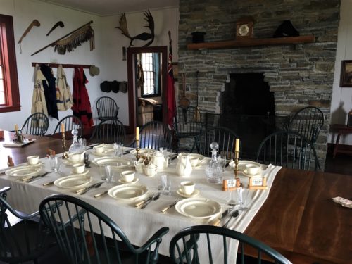
This is the room where the owners and important businessmen met.
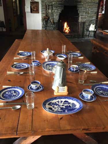
This table, in the same room, was for the clerks, doctor, etc.
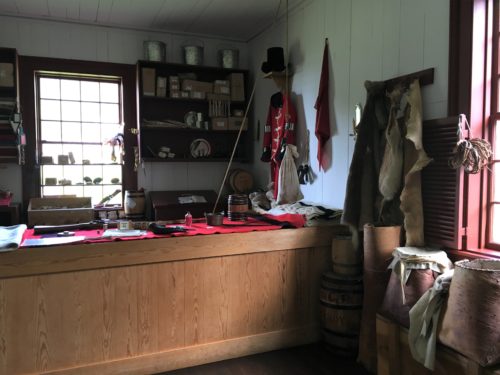
This is a replica of the trading room.
When I asked about how worth was decided, he told us everything was based on the beaver pelt.
Sort of like one beaver equals one dollar.
Everything was converted to “credits” and then put on their account to buy the other stuff.
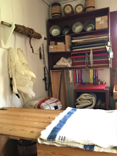
You could trade for things from all over the world here – Chinese silk, Indian blankets, jewelry from all over, coffee . . . anything.
See the swans?
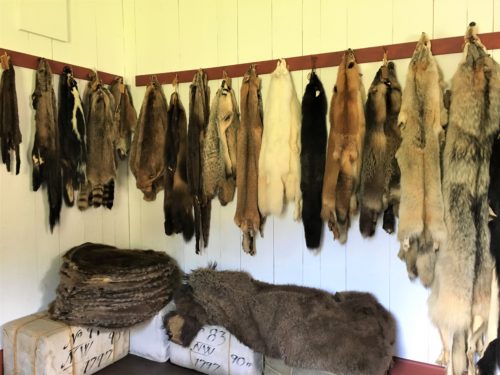
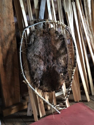
Various pelts that would have been available.
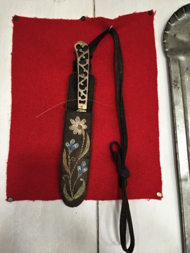
These next few pictures are artifacts they had on display.
This knife case was hand-embroidered.
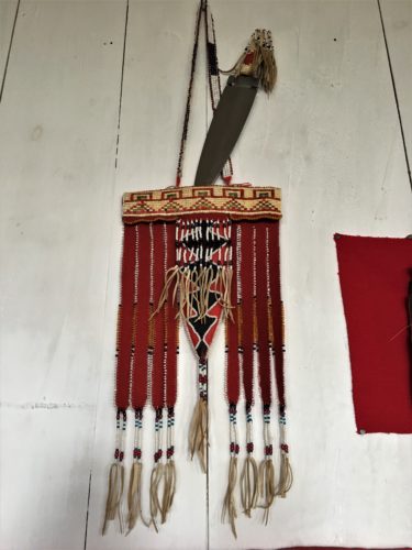
This was an important “award”. What got me though, is that the top of it was woven porcupine quills!
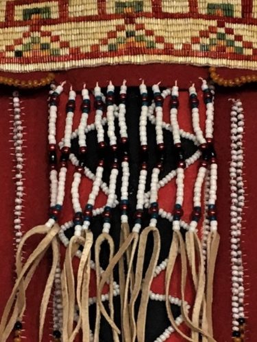
Here’s a close-up.
I don’t know how they dyed them.

Medals of honor awarded to men who did something worthy.
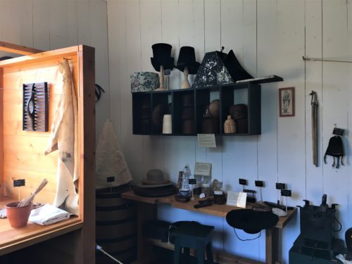
Remember your history and felt hats?
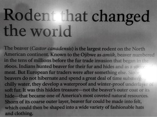
They were made from beaver pelts!
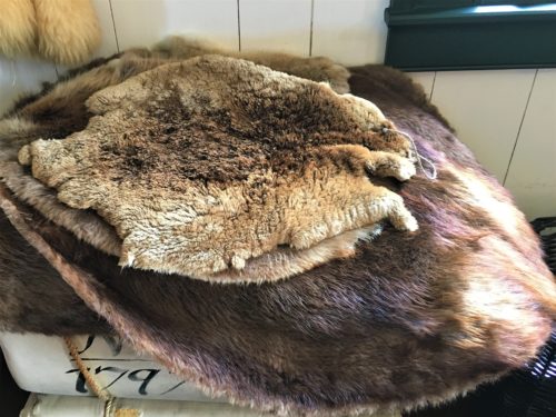
The guide told us all about how they made the felt and then the hats – – what a process!
They didn’t use the top of the pelt. The hairs were shaved off and there’s a soft, water-resistant underpelt. That’s what they wanted.
Beaver hats were all the rage until umbrellas and silk hats were invented. : )
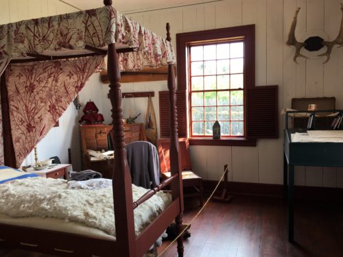
This is a replica of the owner’s room.
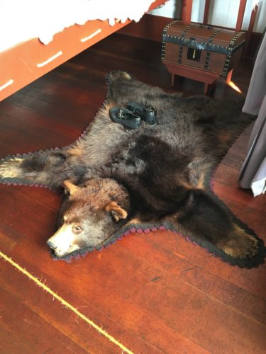
He even had a bearskin rug.
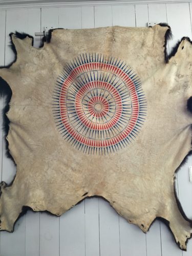
This is an artifact displayed on the wall.
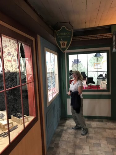
They had one of the rooms made up to look like shops on a street in London.
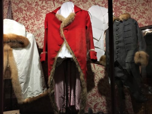
All these fur-trimmed things!
The one on the far left is a child’s suit!
As we were preparing to leave, we ran into a woman outside who worked for the park. She told us about a hike we should take to the top of Rose Mountain. The trail left from the parking lot, and we’re always up for a hike with a view, so up we went. It was pretty steep – a half mile in a short distance – and part was kinda rugged, but she was so right! Great view!
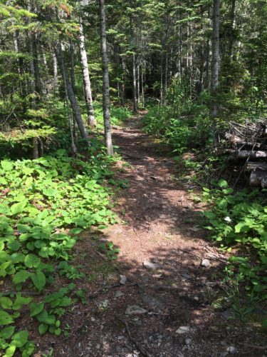
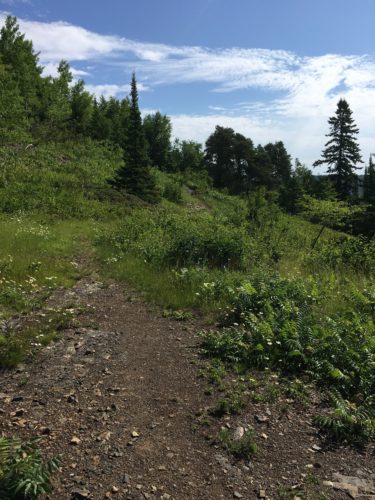

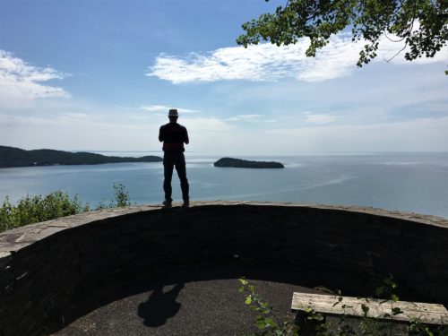
Those are the Susie Islands
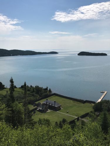
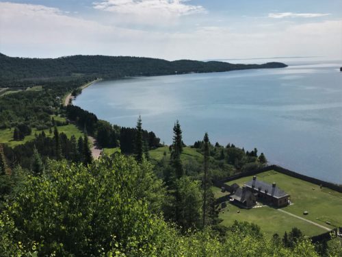
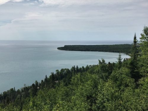
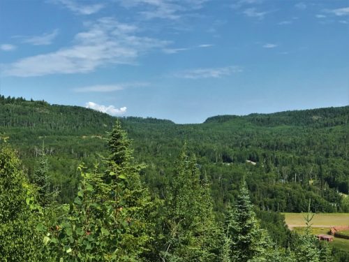
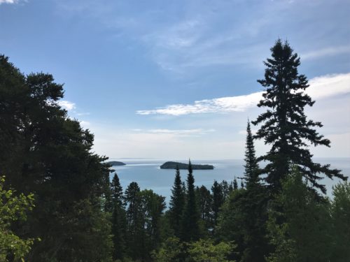
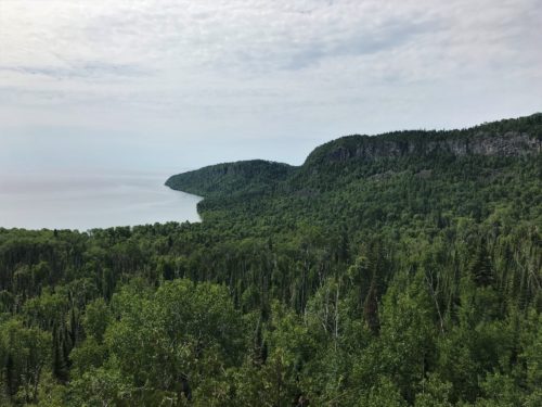
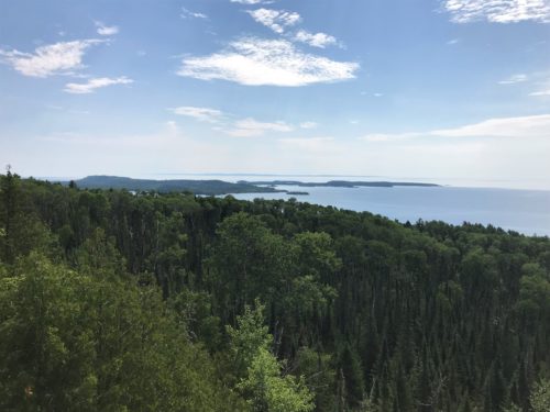
Terrific surprise detour stop!
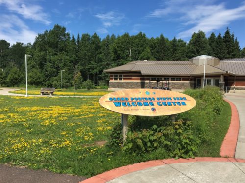
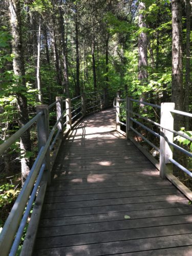
Now, it was on to the Grand Portage waterfall at the State Park. This was a pretty easy walk to a view of the falls, but boy were they spectacular! Unfortunately, you can’t get any closer here.
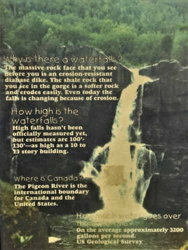
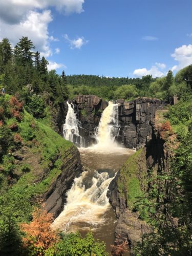
This is High Falls, the highest in Minnesota and sporting a 120′ drop.
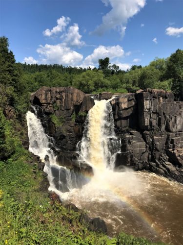
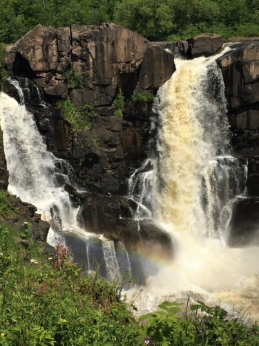
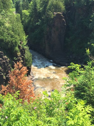
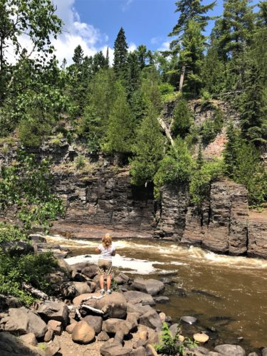
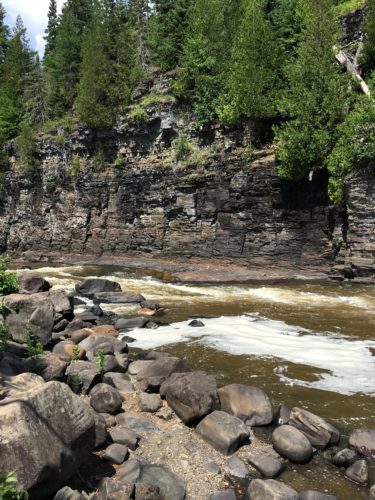
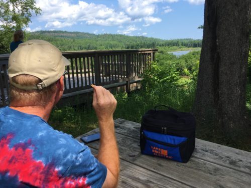
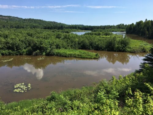
Today’s lunch view.
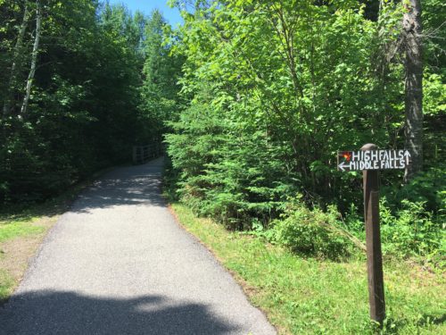
This is at the entrance to the path to High Falls.
We went back to the National Park to check out the trail around the Trading Post that we’d been told about. We’re not sure we were at the right place, because it was just a mowed area that went nowhere else.
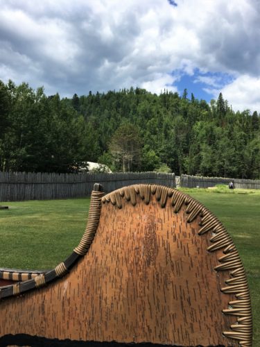
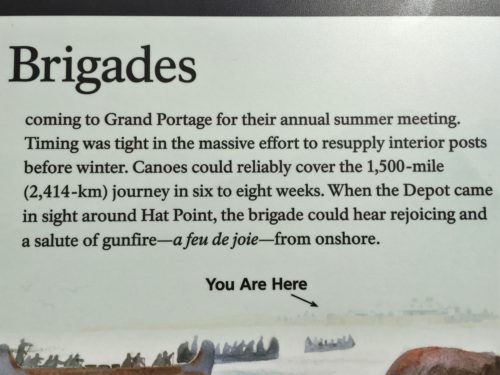
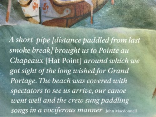
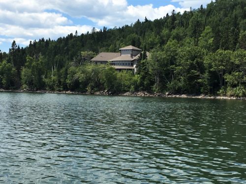
That’s the Heritage Center

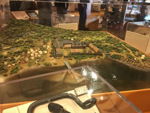
We went back towards the Jeep and stepped into The Grand Portage National Monument Heritage Center, which focused on the Ojibwe tribe’s history.
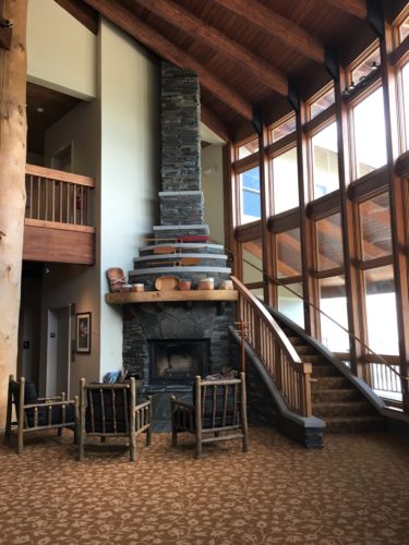
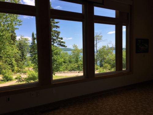
It’s a really beautiful building inside with large windows overlooking Lake Superior.
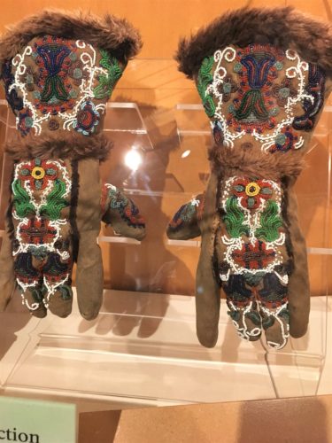
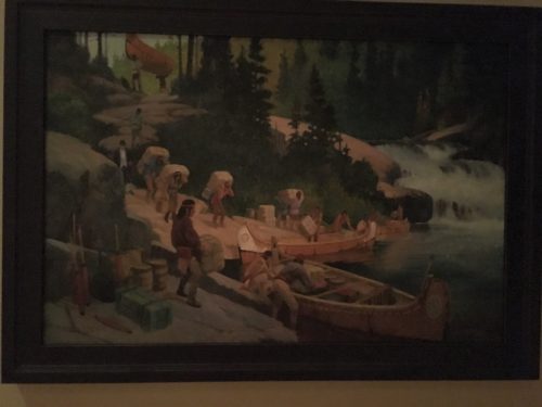
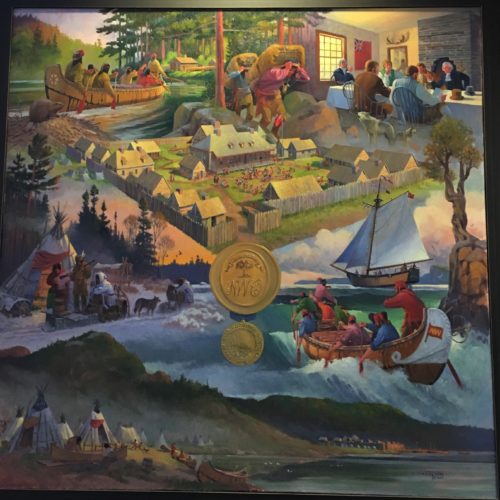
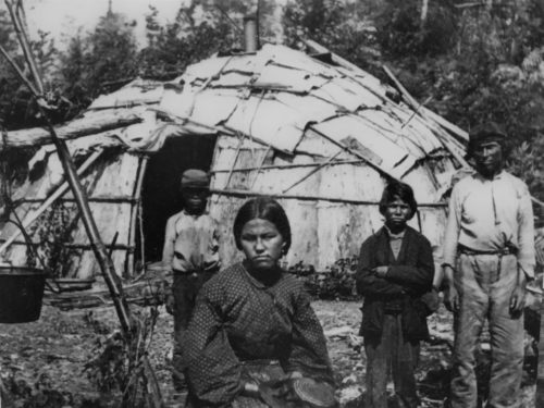
1850 – Ojibwe family
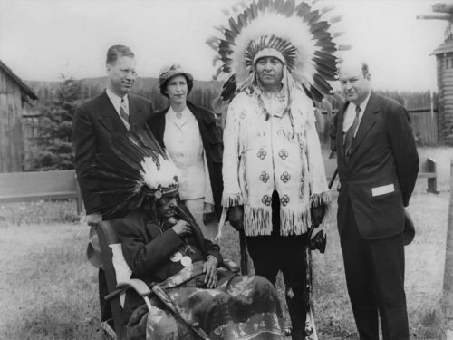
1951 – Dedication of Grand Portage National Historic Site.
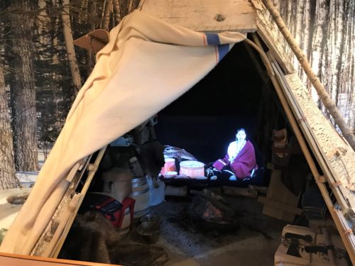
They had this really neat video area that was like sitting inside a tee-pee with an Ojibwe Indian woman who was talking. We didn’t get to participate because there was only room for about two people at a time and it was busy when we were there.
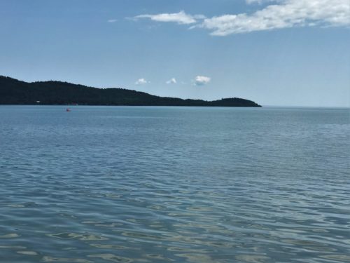
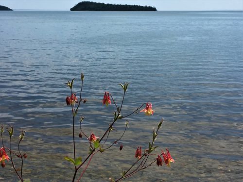
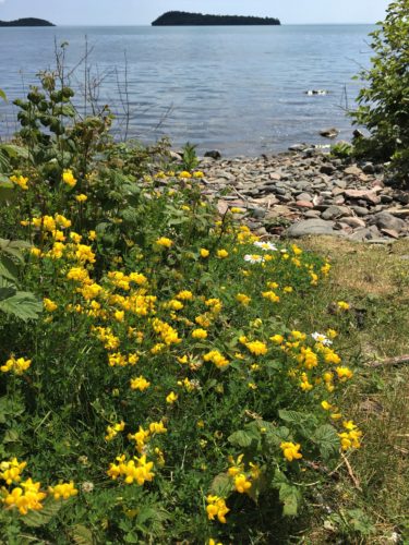
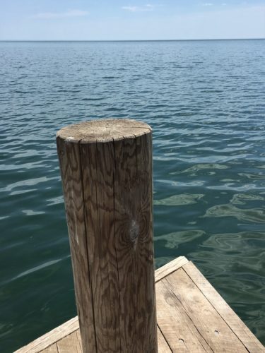
On our way back towards home, we made another detour to see if we could get close to Lake Superior. It was exceptionally calm all day today and we’d seen this run-down looking building as we drove out. We found it again and there was a short road that led to a bay area. How lovely!!
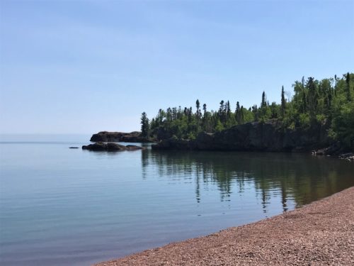
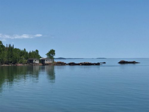
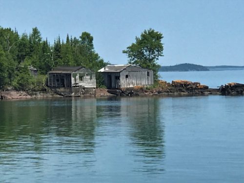
We hung out just long enough to enjoy for a few minutes and then left. We still wanted to hike in the Judge C. R. Magney State Park and it was starting to get late.
There’s a fee for this Park. We had to pay $7.00 a day pass, even though we could only be there a couple of hours. But when we were finished here, we both considered our $3.50 each, money well spent! And the Canadian exchange rate is an amazing 31% right now, so our dollars seem to go a long way.
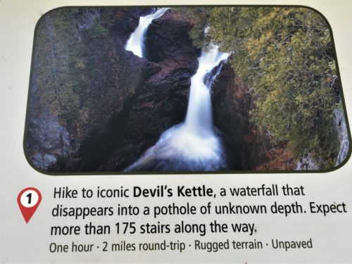
Devil’s Kettle Falls is a product of the Brule River splitting in two. Half goes over the edge in a beautiful 50’ fall. The other half, plunges into depths unknown. It’s true! Even today, no one knows where the water goes! It’s one of the world’s great mysteries! And it was really, really cool to witness! But last year, scientists wanted to conduct a dye test to see if their theory that the water rejoins the river just past the visible waterfall was correct. However, the Minnesota DNR (Department of Natural Resources) discouraged them, so they didn’t. I think Minnesota just wants to keep the mystery alive! Can you blame them?
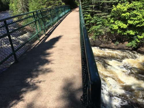
We had to cross over the Brule River, but were disappointed that there’s no place to take a good picture. : (

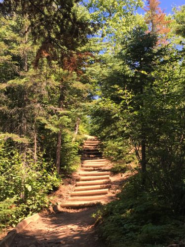
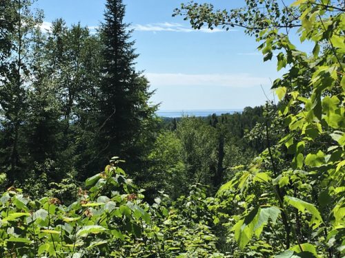

A view from the top.
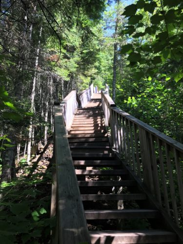
It’s all downhill from here – and all uphill to get back!
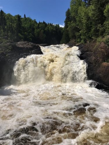
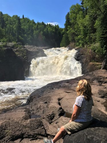
For some reason, they call this the “Upper Falls”. We’re not sure why because it’s actually before the next one.
Blaine and I collaborated and came to the conclusion that “Devils Kettle” is actually the next two combined.
If that makes any sense at all to you. : )
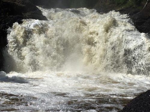
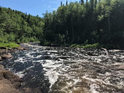
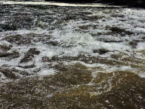
Look at the bubbles!
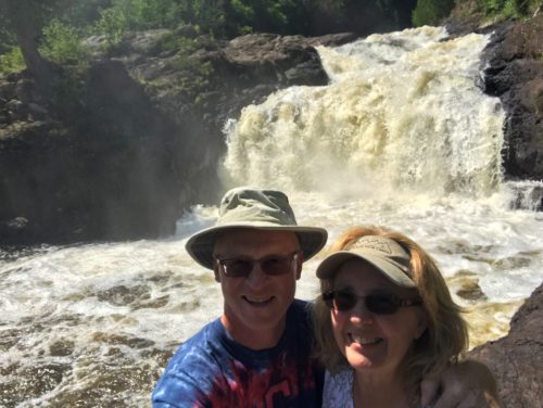
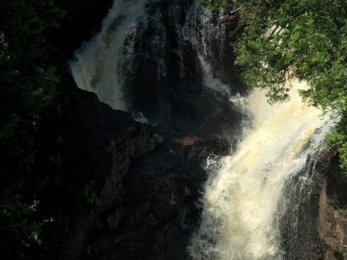
Off course we’re going closer.
How close do you think?
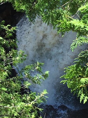
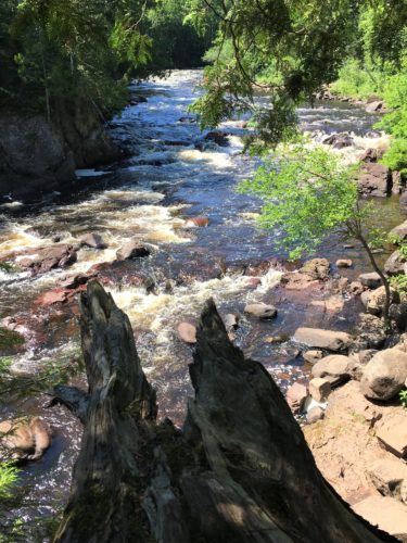
The Brule just before half of it tumbles into the unknown.
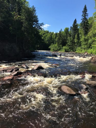
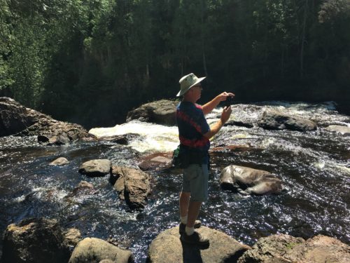
Do you supposed he’ll ever be content to stay on marked trail?

Certainly not today!
He crossed the side of the river on rocks to get up close and personal with the waterfall.

But just look at the picture he got!
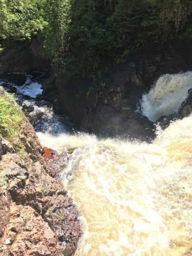
And this one!
And of course the video!
Spectacular!
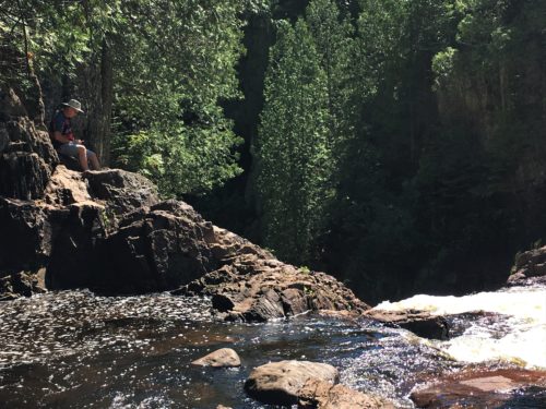
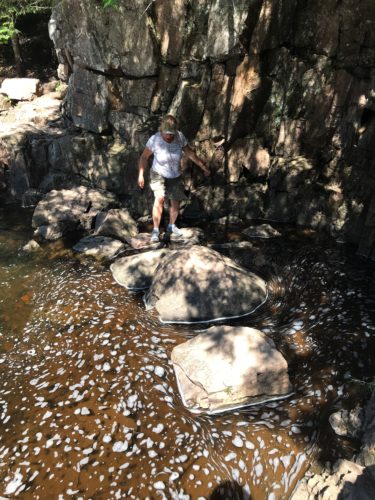
And then he convinced me how easy – and safe – it was.
I wasn’t worried . . . . until I had to get back!
A bit scary, but Blaine helped me out.
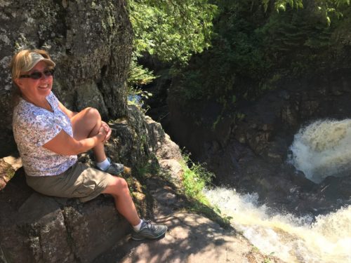
Sitting here was one of the coolest things I’ve ever done!
Wow! Hated to leave!
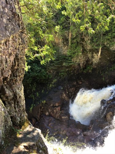
Just look at the amount of water disappearing in the hole! Incredible!
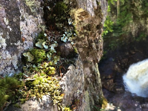
Now all that’s left is the long climb back. . .
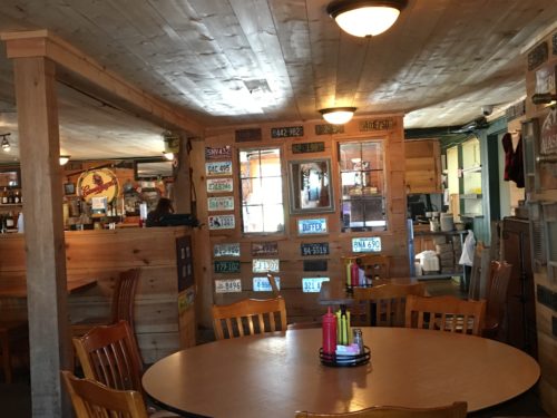
On our way home, we stopped at My Sister’s Place because according to TripAdvisor, they have the best burgers in town. They were pretty good, and probably the best in town, but not the best we’ve ever had.
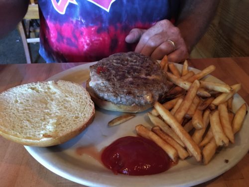
His was stuffed with sauted onions and cheese.
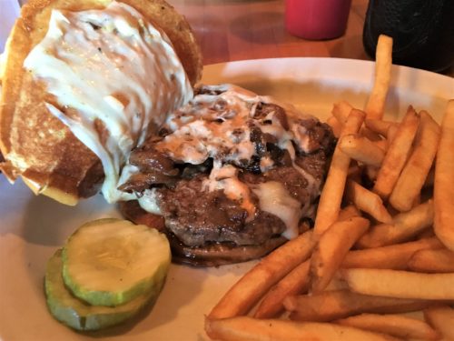
This is their version of a patty melt. I love patty melts – grilled onions, swiss, thousand island dressing on rye.
There’s wasn’t on rye. Instead, they took a regular hamburger bun and turned it inside-out and grilled it. It was kinda gross, so I discarded half and ate it open-faced. It’s healthier that way! ” )
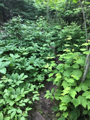
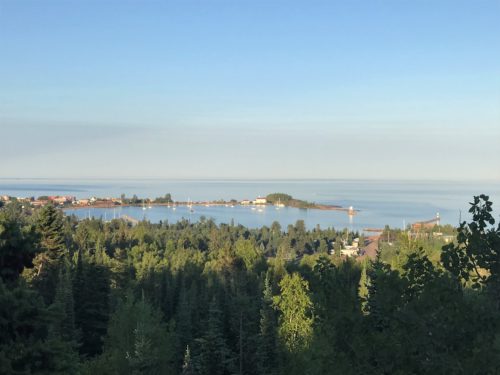
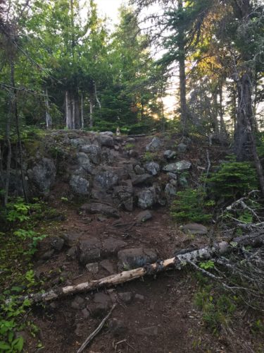
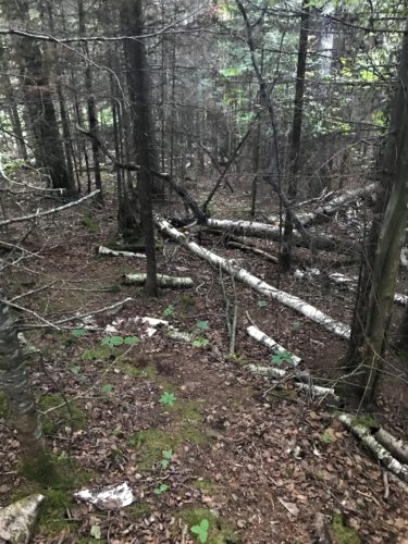
After we got home, Blaine wanted to hike some more, so he took off and ended up climbing another mountain just behind the campground. He told me he got a bit lost once because the trail wasn’t clearly marked, but he did bring home some good pictures! I’m so glad I stayed behind this time!
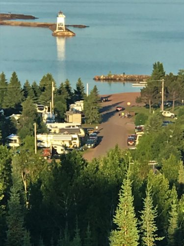
If you look close, you can see the Jeep and the front end of the coach down there on the right side.
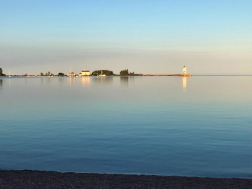
Look how calm!
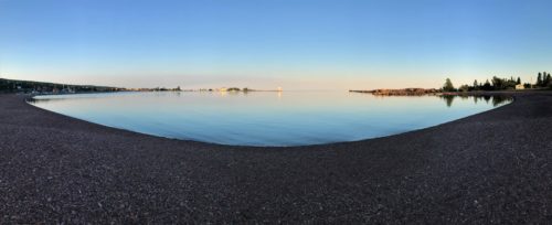
Great panoramic picture!
