Sleeping Giant Provincial Park, Ontario, Canada
For you shall go out with joy and be led forth in peace; the mountains and the hills shall break forth before you . . . and all the trees of the field shall clap their hands. Isaiah 55:12
Before we begin today’s post, I thought I’d share one of the legends of the Sleeping Giant, as told in the information the Park gave us when we checked in:
Nanabosho (the Giant) was the son of Kabeyun, the west wind. He led the Ojibwe people (remember them from before?) to the North shore of Superior to save them from their traditional enemies, the Sioux.
One day while sitting by the lake, Nanabosho scratched a rock and discovered silver. Frightened for his people, he made them bury the silver in the tiny islet at the end of the Sibley Peninsula and swear never to reveal its whereabouts. To the Ojibwe, the silver was worthless, but if the white man found out about it Nanabosho knew he would take their land.
The secret was out when vanity got the best of one of the chieftains. He made himself silver weapons and was soon after killed in a battle with the Sioux. A few days later, Nanabosho saw a Sioux warrior canoeing across Lake Superior, leading two white men to the source of the silver. To save the secret, Nanabosho disobeyed the Great Spirit and raised a storm which sank the canoe and drowned the white men.
As punishment, Nanabosho was turned to stone. Today, the Giant still lies in the place where the Great Spirit struck him, majestic in repose, and his heart stilled, forever watching over his silver secret.
Oh, boy . . .
What a day!
We hiked close to 17 miles today! Se – ven – teen!
Fortunately, about half of that was generally flat and easy. What made all the discomfort our old bodies endured – and will continue to endure into tomorrow – where the unparalleled views! The only thing even close to this, was a 16-mile hike we did in Hawaii – many years ago.
The “Top of the Giant” trail takes you to the Sleeping Giant’s knees – and across them. Yesterday, I gave you a couple of trail descriptions. This is part of today’s: This hike should only be undertaken by those in good physical condition. Bring water, food, sturdy footwear and warm clothing.
Guess we’re in good physical condition! And we met all the other criteria too, although the warm clothing disappeared after about two hours.
You’ll have it much easier! Put your boots on and grab a snack and let’s get going!
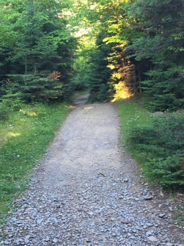
And so it begins . . . .
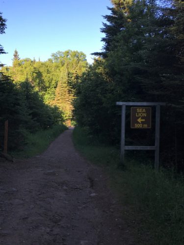
There are a couple of side trails off the main one, as I mentioned.
Maybe we’ll hit this on the way back. But right now, I’m thinking probably not.
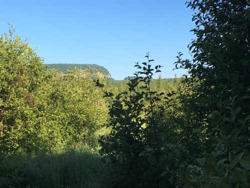
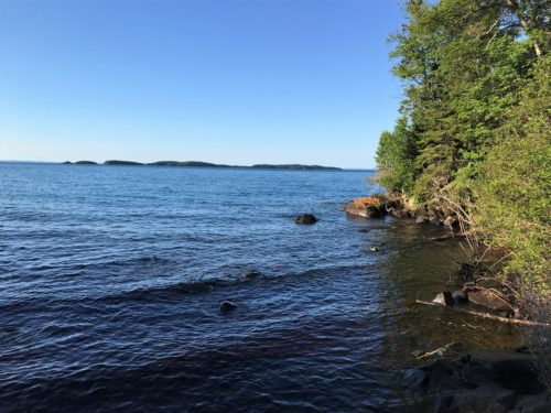
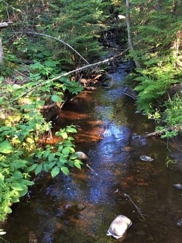
This view was taken from a bridge over a stream we had to cross.
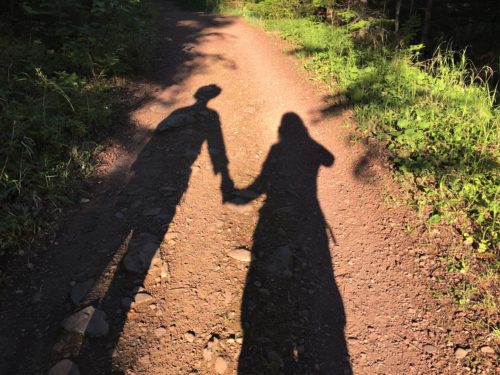
Look how long our shadows are!
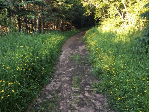
Pretty yellow flowers along the trail.
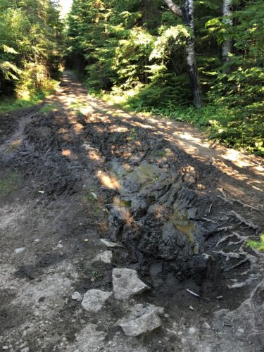
Mostly flat so far, but some mud too.
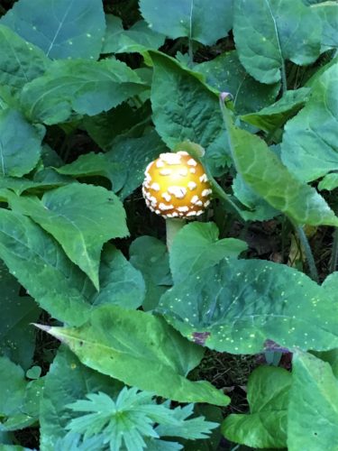
Look what I spotted!
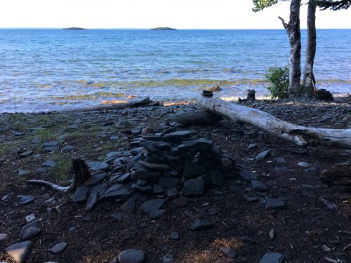
This is a primitive tent camping area the Park provides! Can you imagine?
No one is here today though.
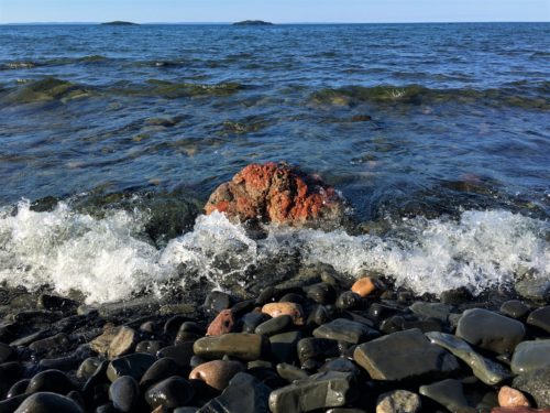
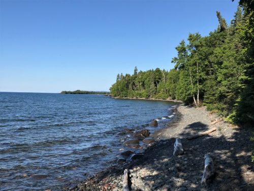
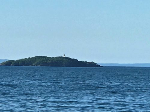
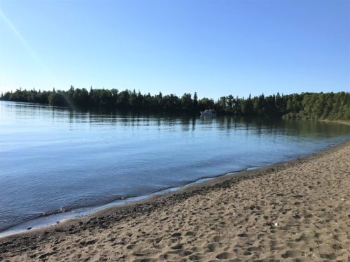
If you put this picture side-by-side with the next one, they look like a mirror image!
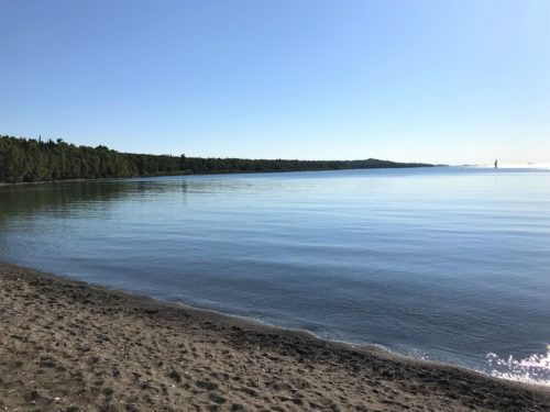
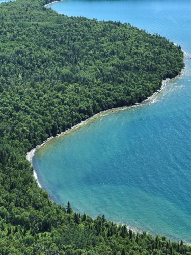
But they’re really two sides of this cove.
One has a sailboat, one has a fishing (?) boat. : )
Good job, hon!
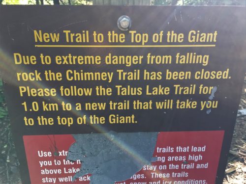
Hmmm . . .
I just hate missing out on something . . . .
Oh well. I’m sure the way we’re going will be fine. Maybe even a little easier for me, as this almost sounds like it was along a ridge.
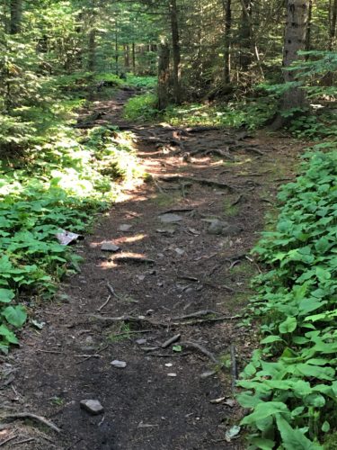
Get ready!
The 3-mile flat part is ending, and the uphill climb begins!
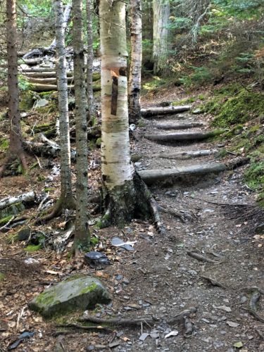
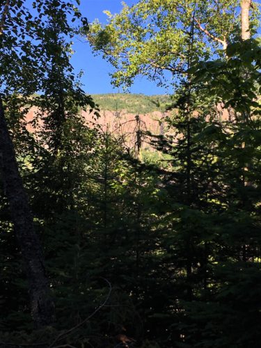
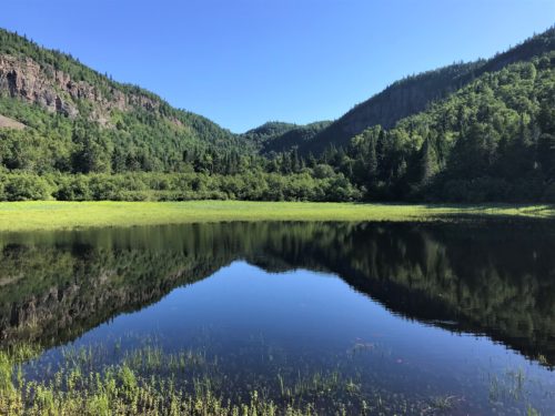
Oh wow! Look at this side trip! Beyond words!
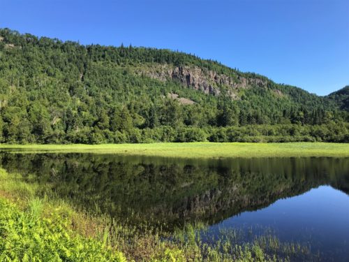
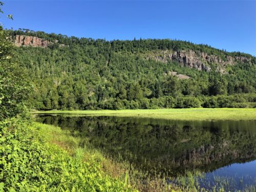
Those are grasses, not algae. And you can’t see them in the pictures, but there’s wild purple iris growing there too.
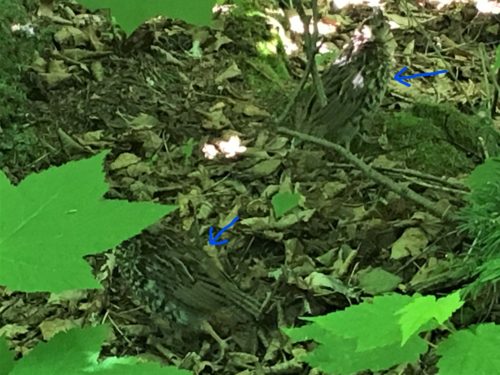
Talk about camouflage!
I had to put arrows in so you could see these “quail-type” birds in the picture.
There were probably about a half a dozen wandering around by the trail. Didn’t seem too excited by us being there.
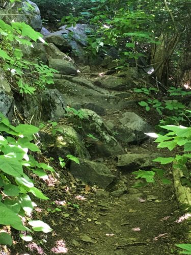
And now begins the stick-worthy-boot-grippin’-leg-muscle-stretchin’- REAL climb!
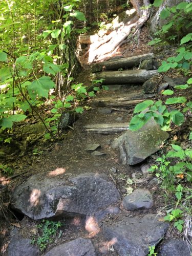
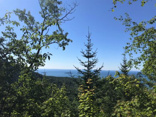
Looking better!
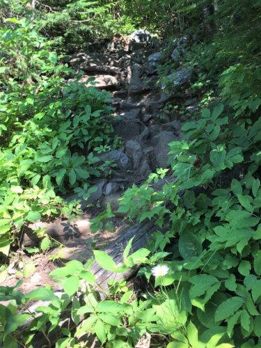
Gotta climb some more though.
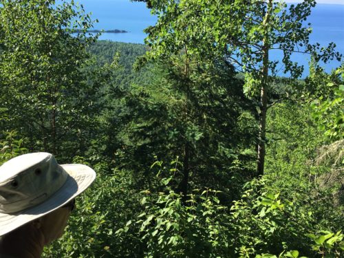
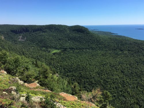
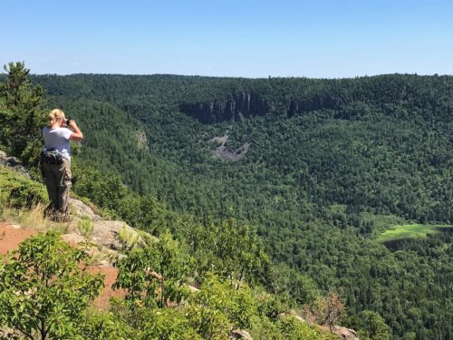
And another view!
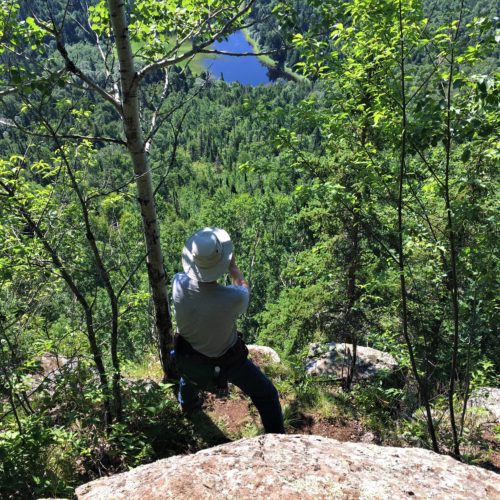
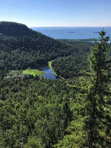
That’s the pond down there!
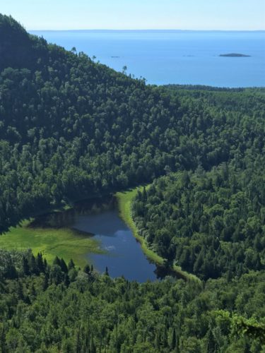
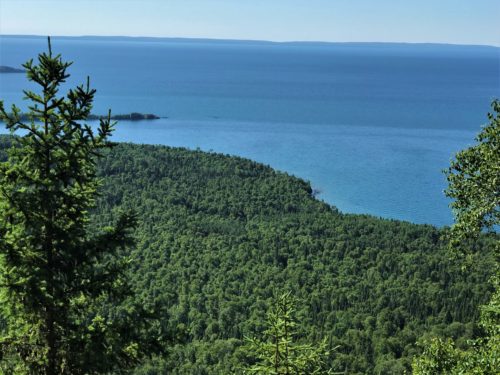
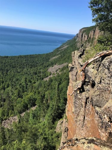
Different overlook!
We’re still not “there” yet.
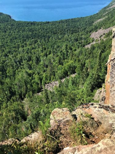
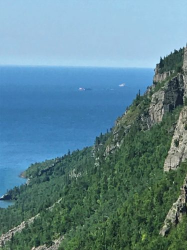
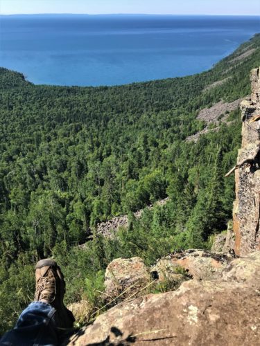
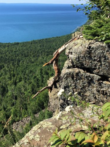
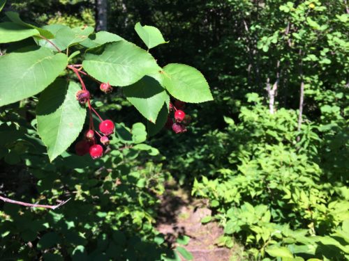
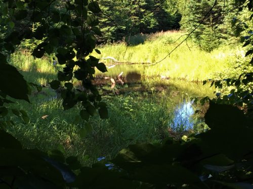
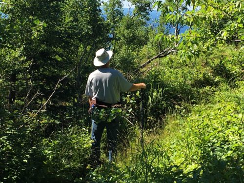
Deciding which way we’re supposed to go.
This must be the place where people said the trail needed a marker.
From research, Blaine knew we could go “across the knees”. But there was nothing.
He chose right and we walked quite a ways, still not knowing. Then two young guys came by who hike here all the time and told us we’re going the right way. They even stopped to wait on us once. Isn’t that sweet? We told them to go ahead, now that we knew we were going the right way.
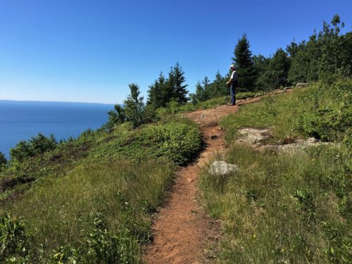
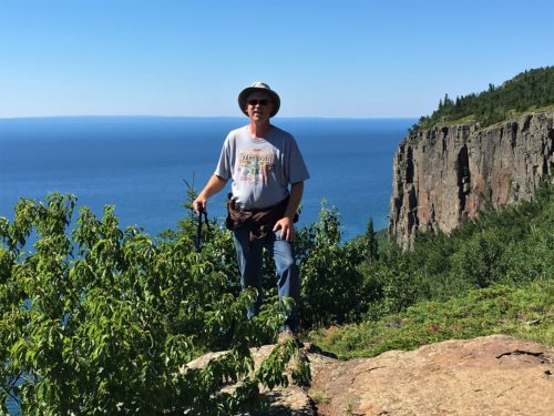
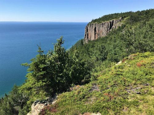
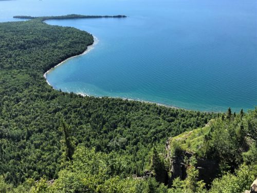
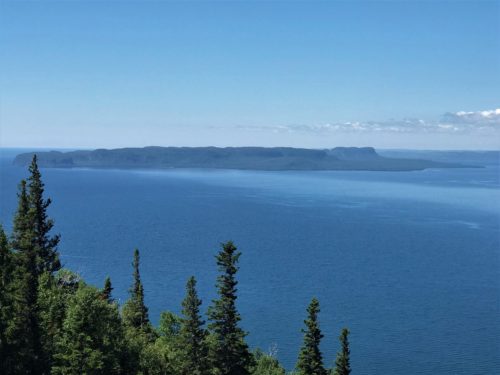
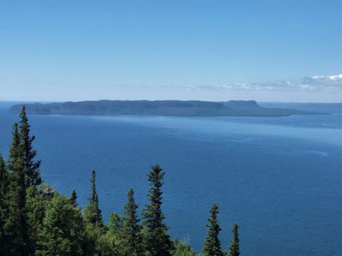
Down there by that T-shaped peninsula is the town of Silver Islet.
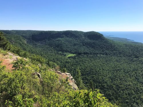
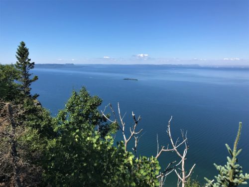
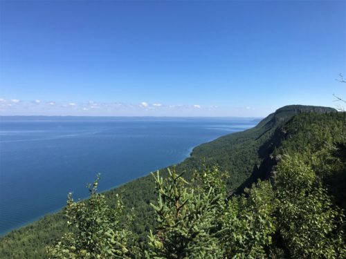
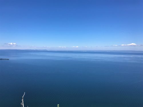
Whoa!
Sorry. That’s all I got.
It’s a speechless kind of place.
Praise God!
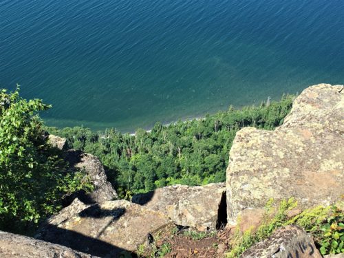
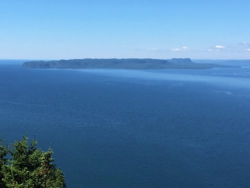
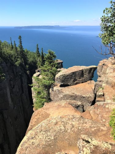
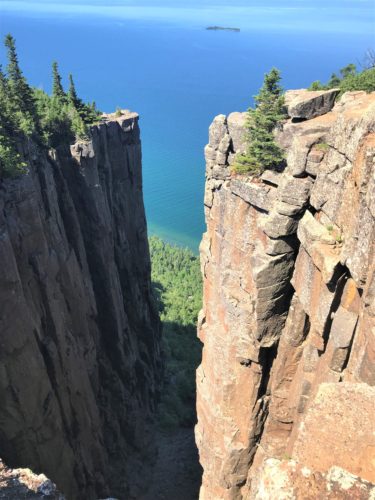
Again, no signs, but Blaine had read about a ravine.
It was actually mentioned on one of the signs at the beginning of the trail, but there was nothing to tell us how to get there.
We found it though!
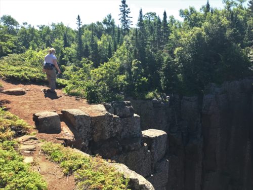
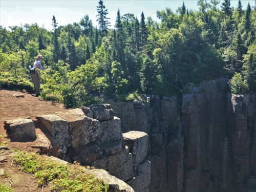
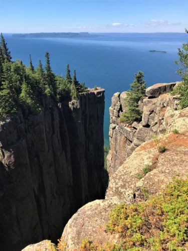
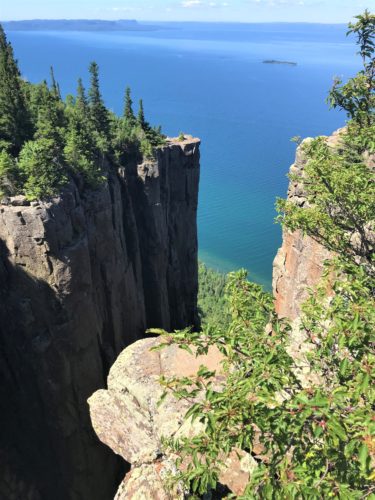
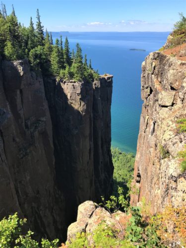
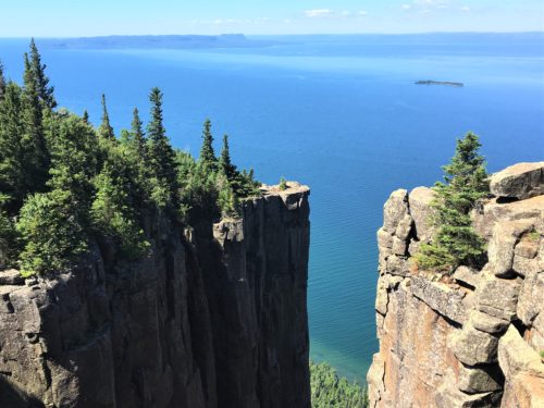
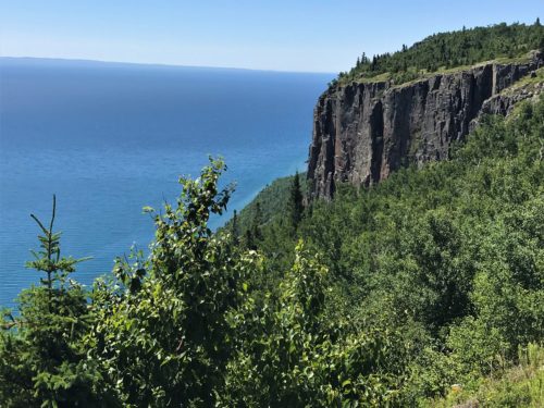
950′ . . . straight down!
Spectacular!
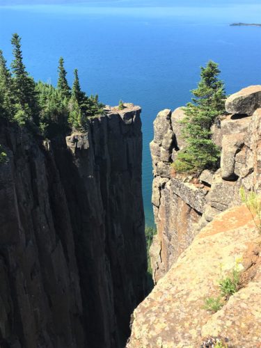
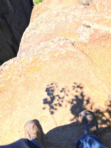
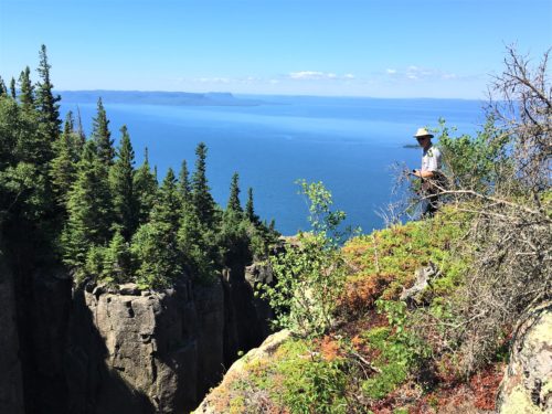
Of course, there’s Blaine. On the edge. I walked away. I just couldn’t look at him there for some reason.
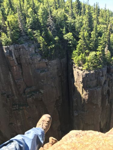
Surely it’s not as bad as it looks . . . .
Is it?
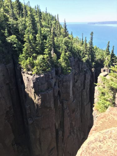
Time to head in the general direction of “back”, but we haven’t eaten lunch yet.
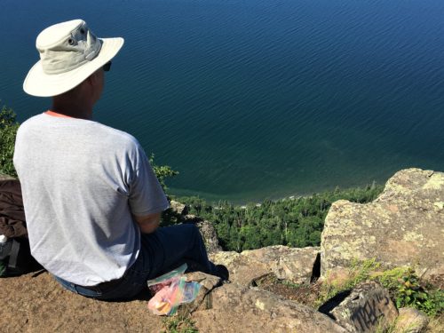
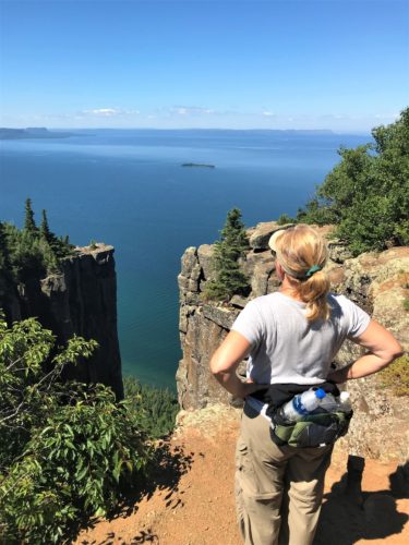
This is our lunch view today!
Don’t panic! There’s a lot more room here than it looks like!

This is also part of our lunch view!
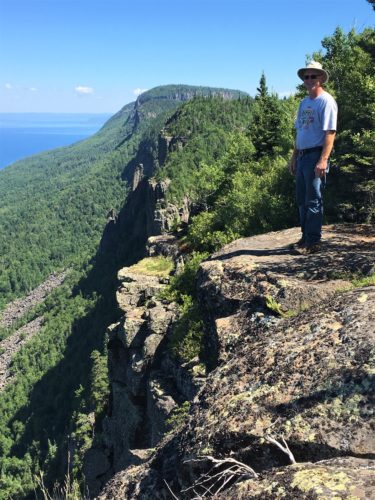
I think this is the first time Blaine’s ever been hit with acrophopia!
He couldn’t get himself to walk out any further. : )
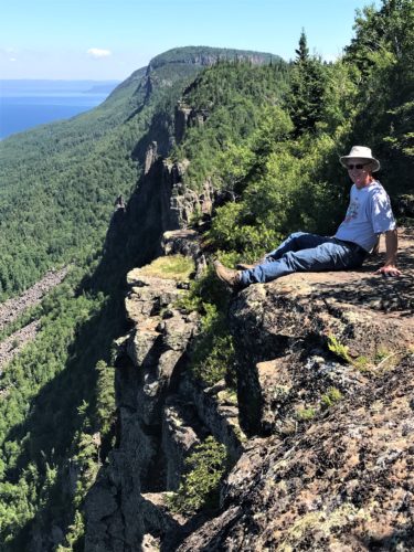
He actually had to sit down! : )
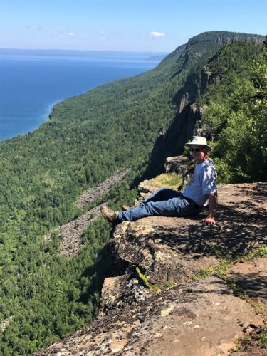
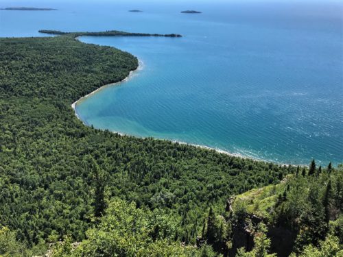
The lighting was different – and better – on the way back, so you’ll be seeing a few duplicate pictures.

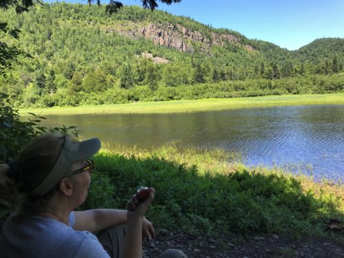
Back down to that beautiful lake to eat our apples.
We need the break after all that downhill hiking.
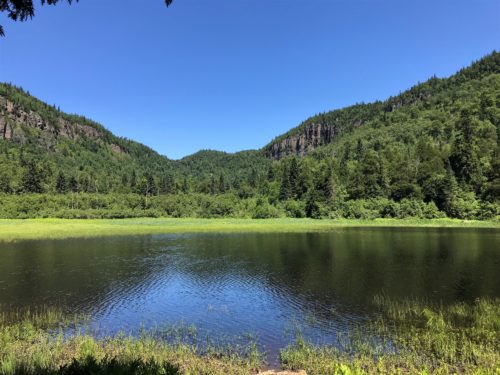
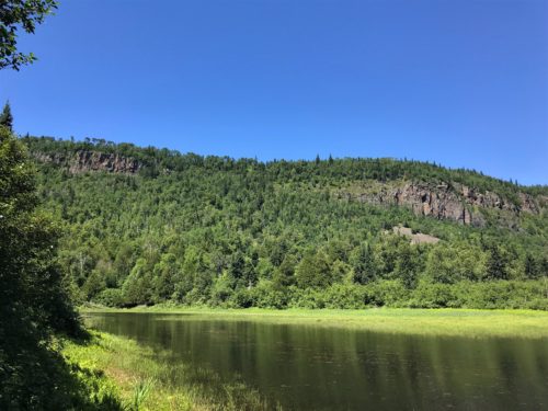
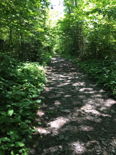
Back on the straight and narrow path – – and flat!
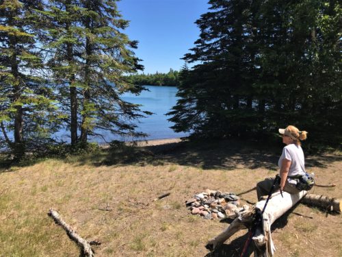
We stopped here on our way up, but only briefly.
This time, we looked around a bit.
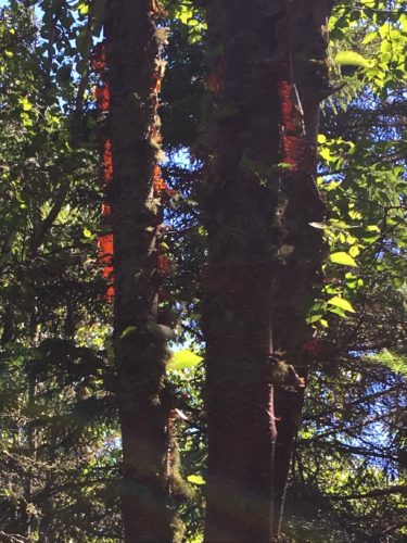
Look at the light shining through this birch bark!
Soooo much better in person, though!
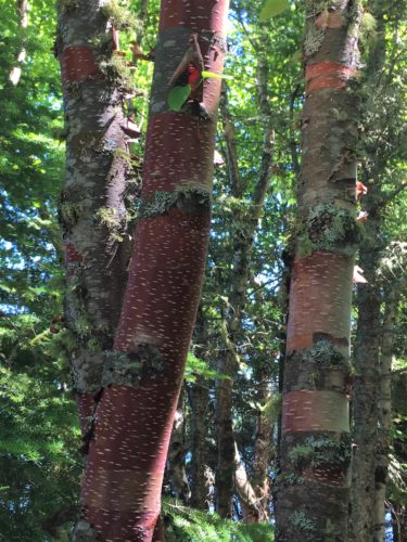
We’ve never seen red birch before. Don’t know the official name for them either. : )
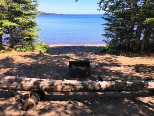
Here’s another primitive campsite, right on this cove! What a view!
I’m glad no one was here, so I could get a picture!
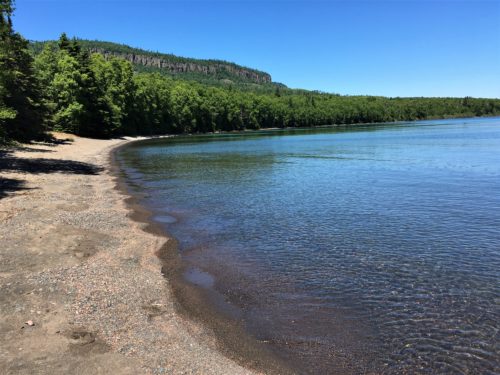
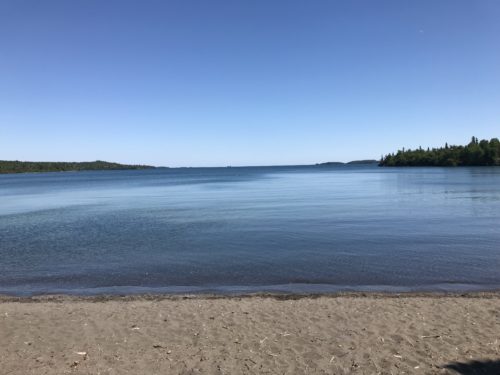
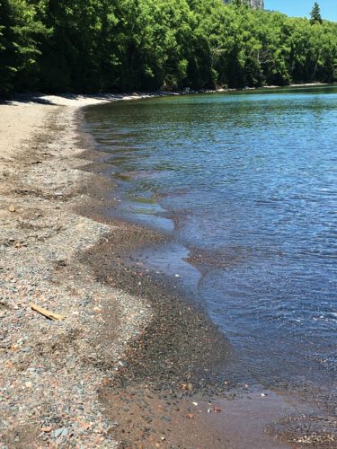
Still on the same beach.
Look how the water has made little ‘ruffles’ on the beach. Kinda like the edge of a good homemade pie crust!
Like my mom makes!
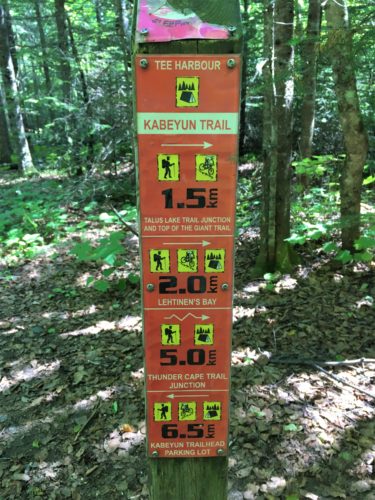
Here’s what one of the trail markers looks like.
Numbers are in kilometers. Remember. We’re in Canada.
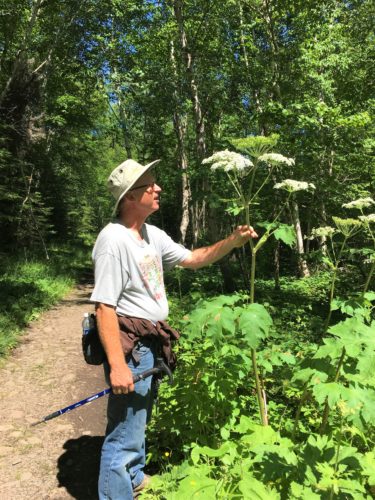
That’s gotta be the tallest wild ‘flower’/’weed’ we’ve ever seen!
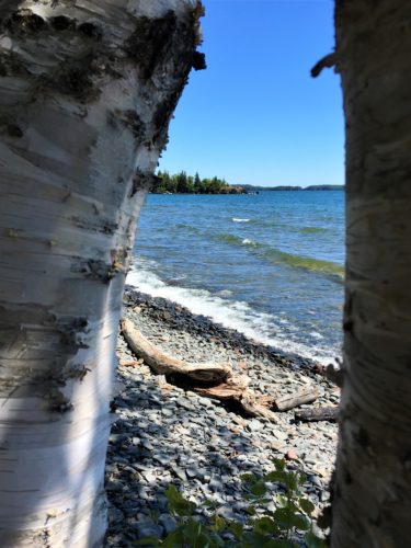
One last stop before the uphill climb back to the Jeep. Actually, we forgot it would be an incline to get back!
After hiking so far today, parts of it were kinda tough.
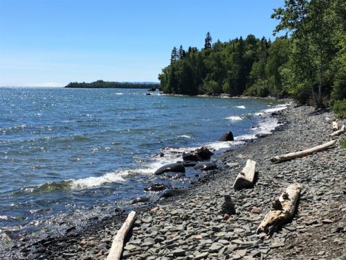
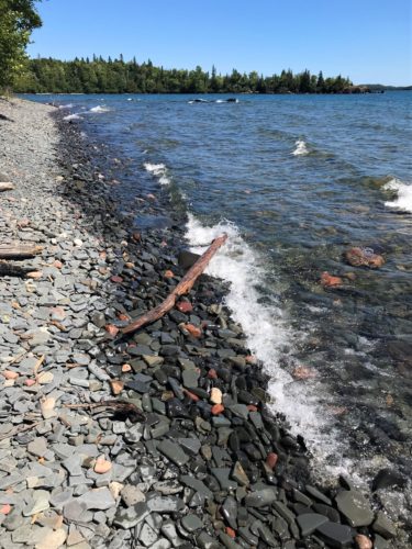
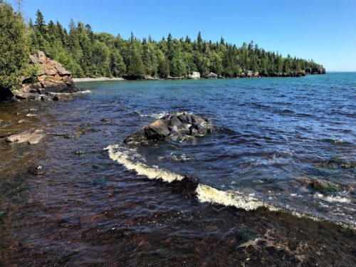
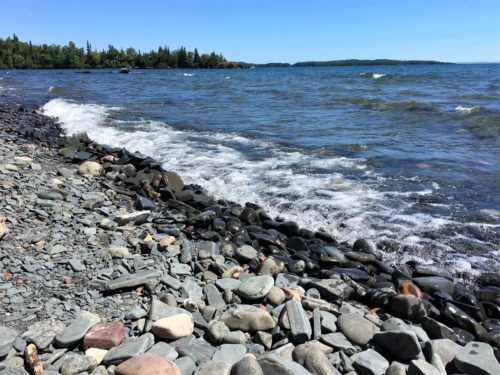
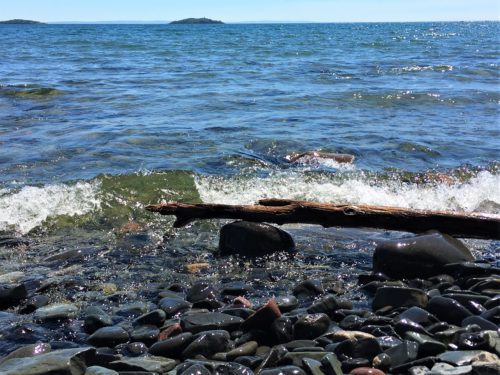
This hike had a 1,596’ elevation change and is ‘officially’ 15.3 miles. Our extra mileage came from a few side trips. Because 15.3 miles of torture wasn’t enough. 😊
I for one, feel surprisingly good!
As long as I don’t move. . . .
