Lake Powhatan National Forest, Asheville, North Carolina
Go up to the top of Pisgah and look west and north and south and east. Deuteronomy 3:27a
No church today as we took on a mountain instead.
Wanna know how Mt Pisgah got its name? From the Bible. Just like a lot of things. But I don’t want to get into that. Just know that there was a time when everyone knew what was in the Bible, whether they were true Christ-followers or not.
I’m tired just thinking about what we did today . . . .
When we left home this morning at 8:30am, it was 25 only degrees, but the sun was shining!
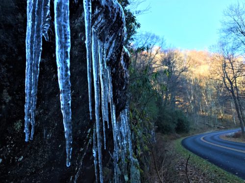
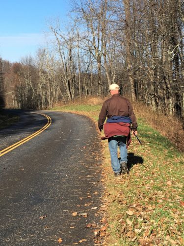
The road was still closed, so we had to hoof it down (up?) the Blue Ridge Parkway to our destination, an extra 5 miles, to get to our trail head for today. I forgot to mention yesterday – – we overheard a Ranger telling someone that the road was closed due to ice. We sure didn’t see any yesterday, but today, as we walked through some different tunnels, there were broken icicles in the middle of the road that must have fallen from the roof of the tunnels. I guess, if they’d hit someone’s windshield (or even the roof, etc.), it could cause problems, including swerving and hitting oncoming traffic.
There was no one – – and I mean no one – – around once we hit the road.
Oh. And quite surprisingly, my leg is just fine! Not even a bruise, although it’s a bit tender there if I push on it. It’s a good thing, because I needed a healthy body for today’s quest! Thank You, Father!
Because we walked two miles of this road yesterday, we didn’t take hardly any pictures during that time. Aren’t you glad? 😊
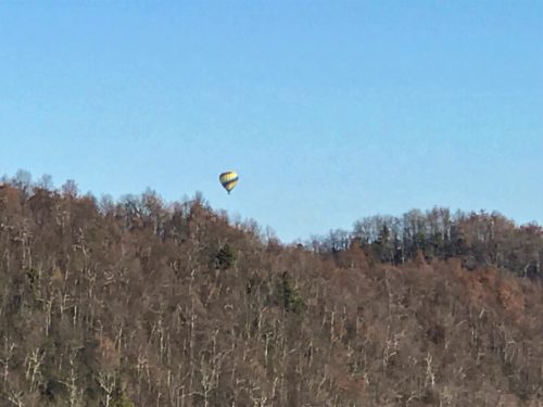
A hot air balloon!
What an unexpected surprise!!

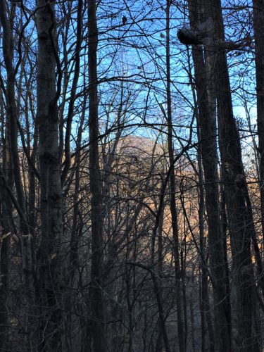
Our first view of our destination.
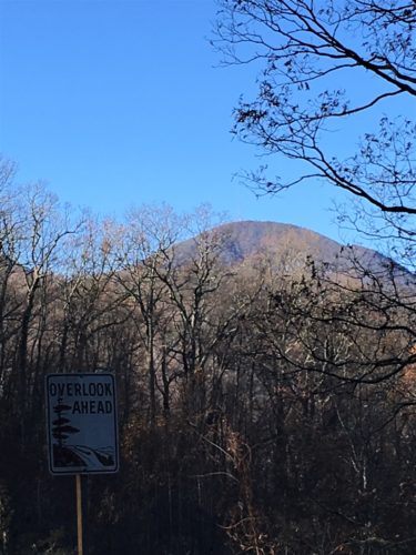
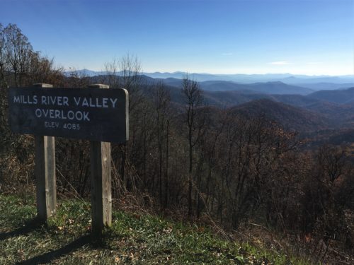
From here on out, it’s all new stuff! And it’s a good thing Blaine was smart enough to turn around yesterday, because it was kinda tough the rest of the way! First of all, the road was a steady incline amounting to 925-feet of elevation change, which led to the trailhead to the summit.
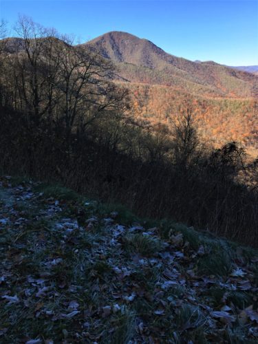
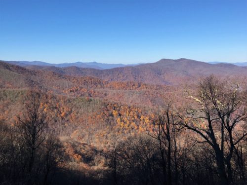

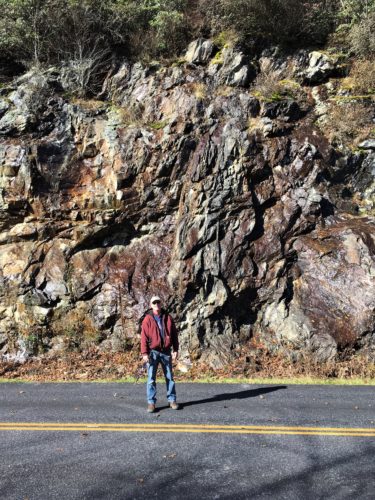

Time for a break!
Gorgeous spot!
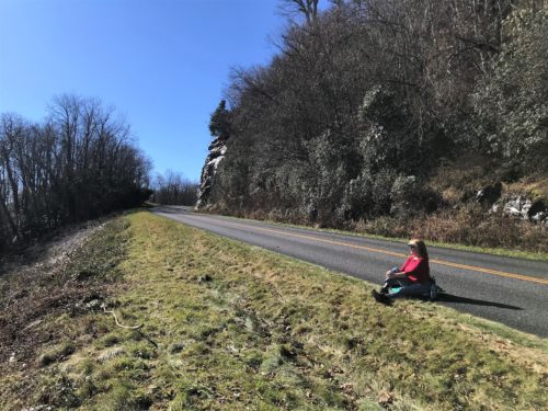


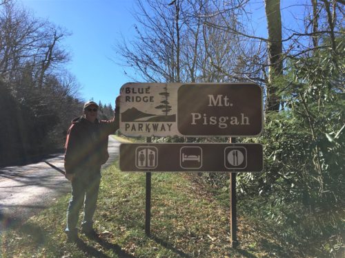
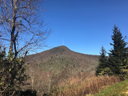
The trail itself was an additional climb of 712-feet elevation change in just 1.5 miles. For those of you who don’t hike, it doesn’t sound so bad, but trust me, that’s pretty substantial!
But first, we discovered we’d have to hike another half-mile to get to the actual trailhead!
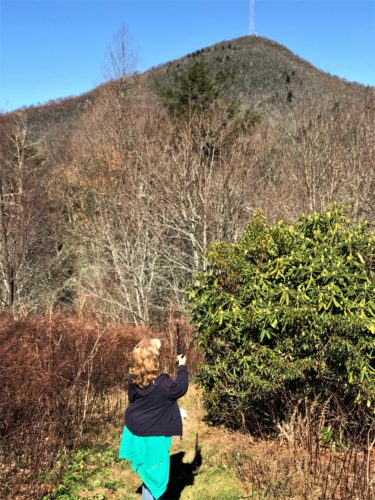
Seriously???
I have to climb all the way up there????
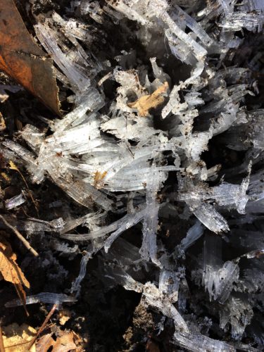
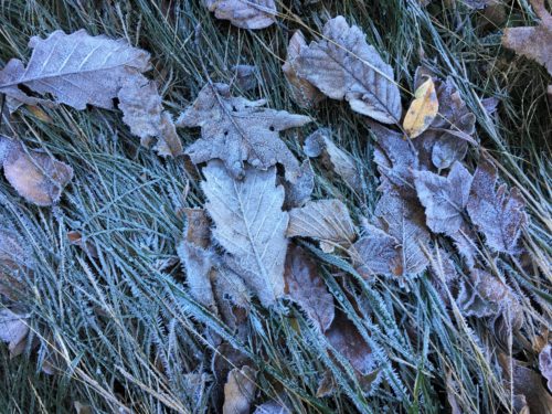
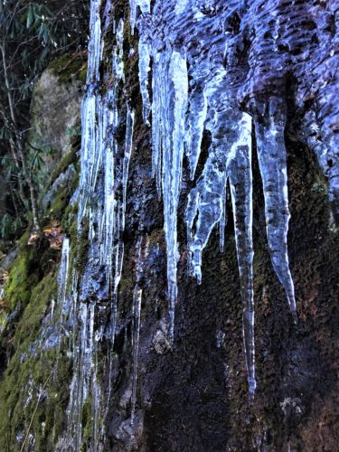
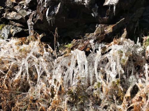
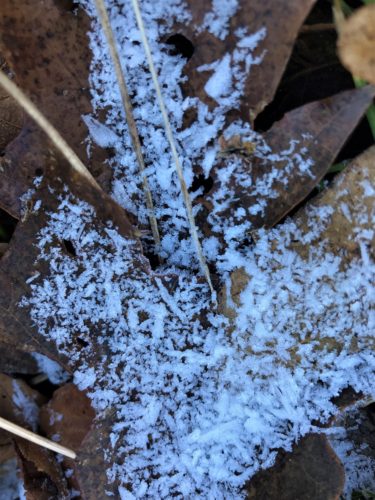
These little ice crystals were all along the trail!
Incredible! God’s amazing!
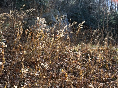
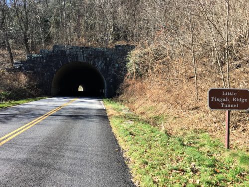
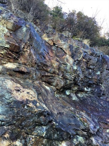
Remember this picture. This is part of the support for a tunnel. I know you can’t see it very well, but it’s the best we could do right now.

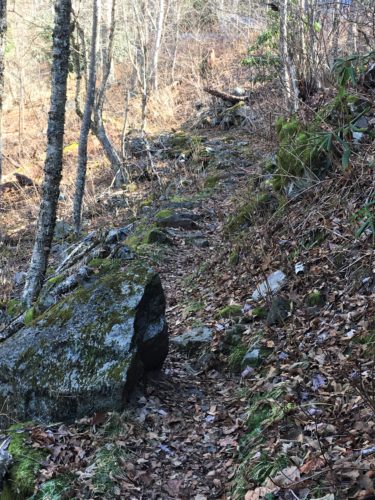
I happened upon an interesting bit of information – Mt Pisgah is included in the property George Washington Vanderbilt (the Biltmore guy) owned! Especially interesting since we discovered the Biltmore House while we were up here! Bet there was no ugly tower when he owned it . . . It seems the land Mt Pisgah is on was purchased two years after he opened the House.
Called Elseetoss by the nearby Cherokee tribe, Mount Pisgah gained the current name from the early European settlers. The name comes from the mountain Moses ascended in the Bible. In 1897, George Washington Vanderbilt purchased land that included Mt. Pisgah from Thomas Clingman for his growing estate, but Vanderbilt’s widow gave the land to the Forest Service upon his death two decades later.
Local citizens that prefer to stay indoors for entertainment receive benefits of the mountain, too. In 1953, a television transmitter was installed on the top of Mount Pisgah, which makes the mountain more identifiable. Other antennas added to the peak including a radio, the educational channel for University of North Carolina at Asheville, the National Weather Service. The Federal Bureau of Investigations added a tower to the top of Mt. Pisgah. ~ blueridgeparks.web.unc.edu
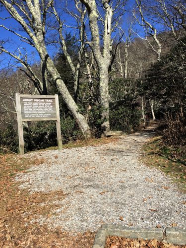
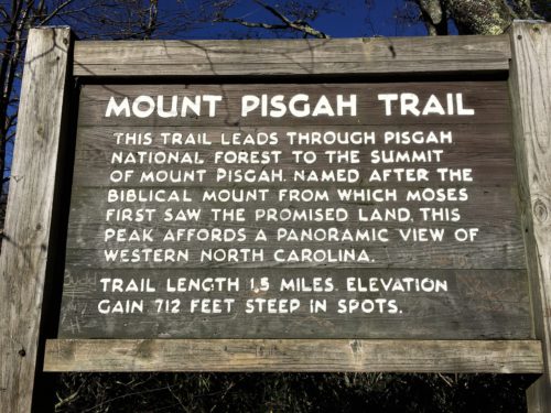
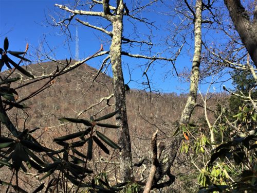
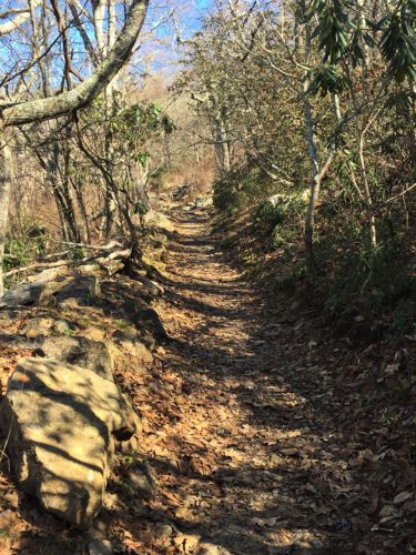
And away we go…….
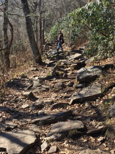
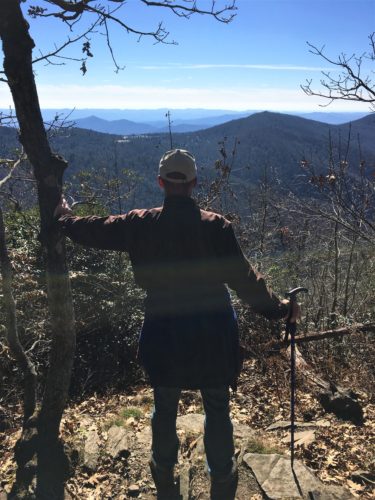
A short rest . . .
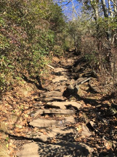
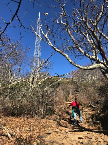
Almost there!
Or so we thought . . .
We still had a ways to go with all the twists and turns.
And here we are! After much huffing and puffing and motivational speaking. I think we would have been fine on this trail, if we’d been able to park in the parking lot. 😊
And we made it in roughly three hours! Whew!
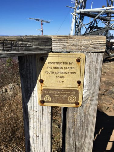
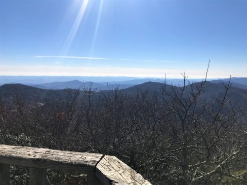
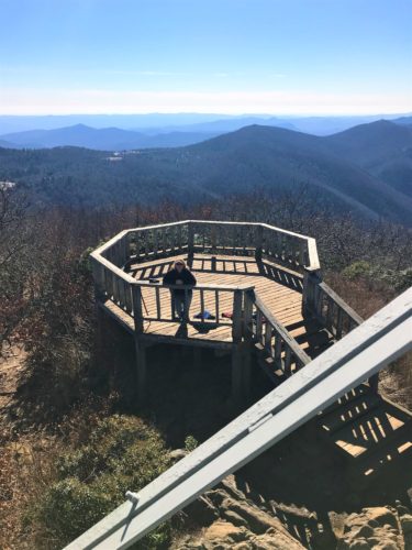
We made it to the viewing platform!
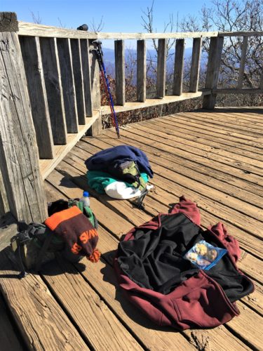
And promptly dumped everything!
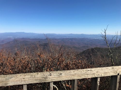
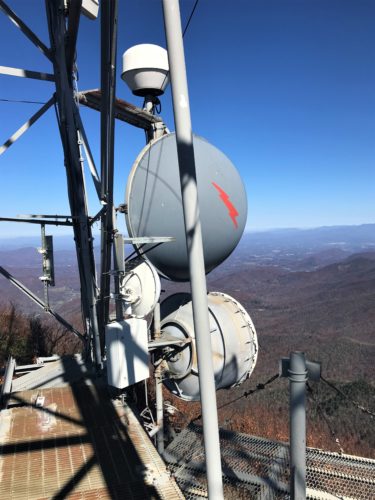
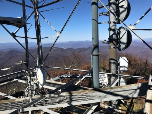
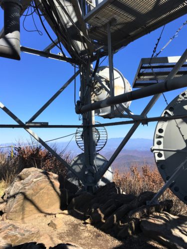
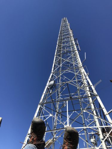
Spectacular views! Too bad there’s a gigantic hunk of metal up here.
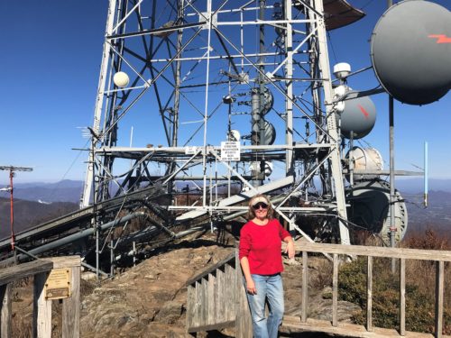
What an eye sore!
But I suppose it serves a purpose.
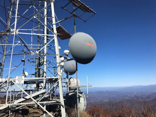
When I was looking for a date it was erected, I came across a news article from today (it’s actually the 14th when I’m working on this).
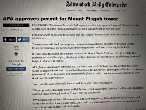


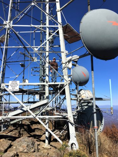
You’re not really surprised by this picture, are you?


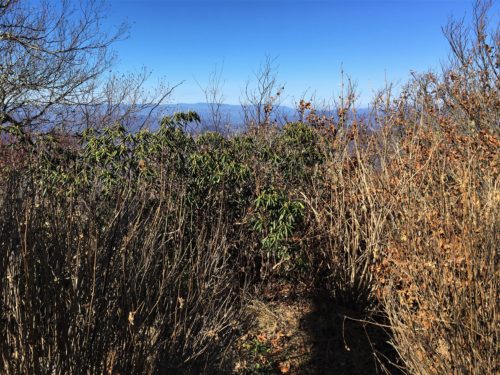
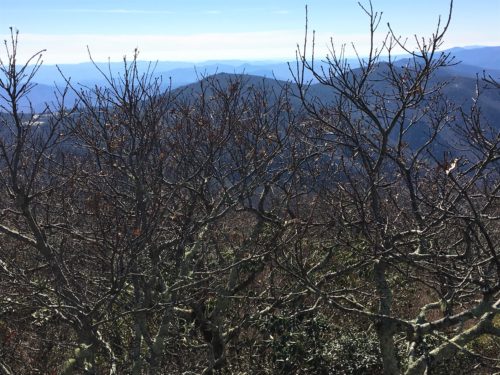
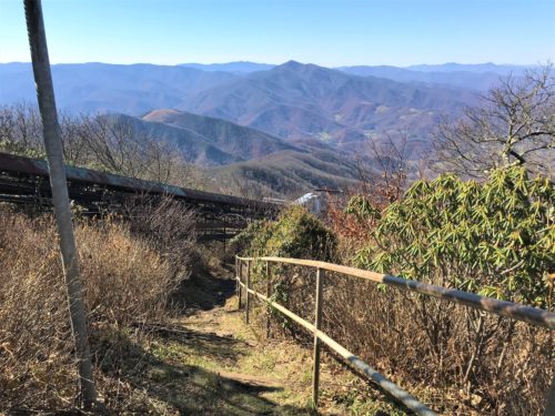
We walked to the other side of the tower, but this is the only view. : (
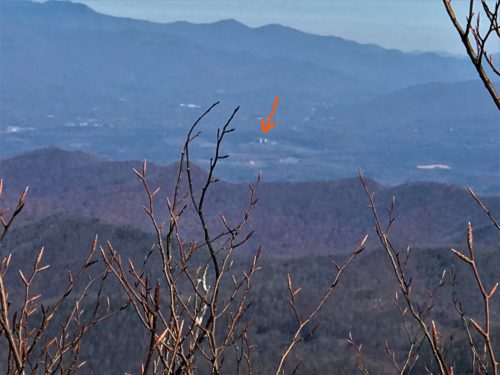
Blaine located Biltmore from up here!
We tried to take a picture through our new “monocular” (that’s binoculars with just one lens – like a spy glass), but we just couldn’t get it.
But it was really clear with magnification!
And, I discovered that Biltmore to Mt Pisgah is 15 miles as the crow flies. (it’s 28.5 by road) : )
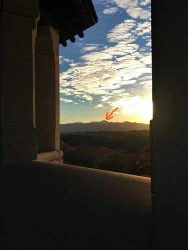
Mt. Pisgah from the Biltmore Estate.
Pretty cool now that we know George Vanderbilt bought it.
It also gives you a better idea of just how much property he actually owned!
The next two are panoramic pictures Blaine took. So beautiful!
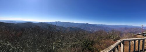



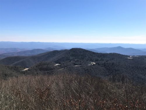
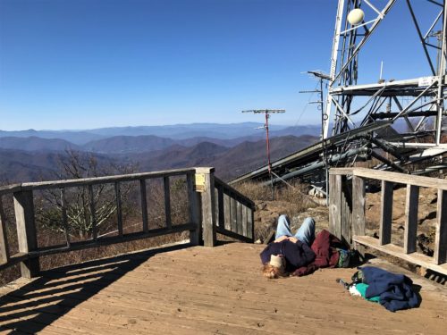
Ahhh . . . .
Time to really rest for a couple of minutes!

After spending an hour with a chipmunk (the only other breathing thing we saw the entire time), we began our trek back to the Jeep.
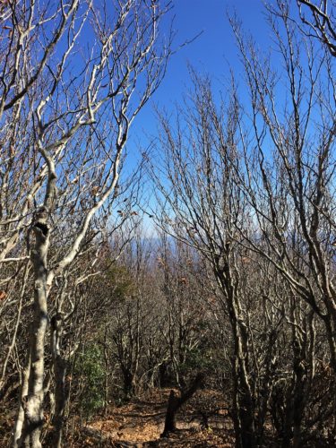
Back down we go!
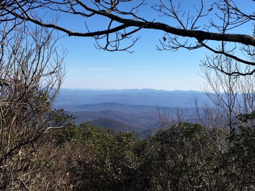
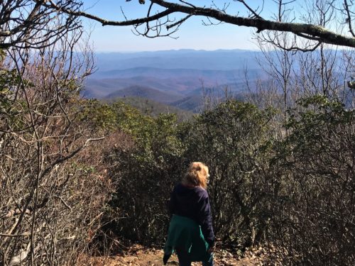
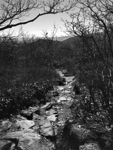
Every so often, the lighting is so bad, I just decide to make it black and white. : )


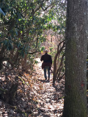
We took a tiny shortcut, crossing from the trail to a tunnel (remember that picture I told you to remember?), instead of walking all the way to the parking lot, then turning the opposite direction to get back to the same tunnel.
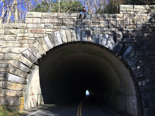
There he is!
He didn’t really have to even climb up there, just walked a bit up a hill.
I think I had more of a hill going down to the road.
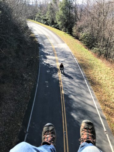

Oh no! A train!!!
And us with no place to go! : )

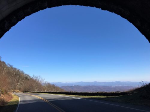

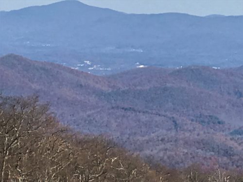
I think that’s Biltmore out there, too, but even though we’re down lower, it seems the picture isn’t quite as clear.
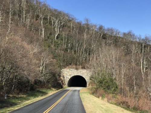


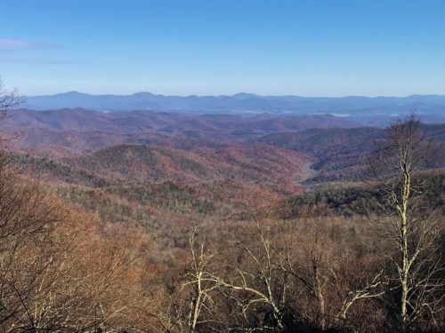
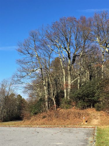
Rest time!
We’ve got about 2 miles to go!
It was all the way up to 49 degrees by the time we arrived at the Jeep at 3:38pm, tired from our seven-hour hike, but still moving . . . . . barely. 😊
According to Blaine’s app (which was in his pack, so not truly accurate), we took 29,432 steps today! The way I figure it – since the recommended amount is 10,000/day, we don’t have to move for three days! Right now, that sounds pretty great to me!
