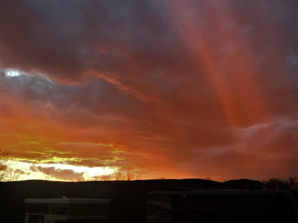
Big Bend National Park, Big Bend, Texas
Wine is a mocker and beer a brawler; whoever is led astray by them is not wise. ~ Proverbs 20:1
In 1933, Texas established Texas Canyons State Park using 15 school sections owned by the state. Lands forfeited for non-payment of taxes were quickly added and the name was changed to Big Bend State Park, and by October 1933 included about 160,000 acres. On June 20, 1935, President Franklin D. Roosevelt signed a bill that authorized the establishment of Big Bend National Park. On June 6, 1944 a deed for about 700,000 acres was formally presented to President Roosevelt. On June 12, 1944, Big Bend was established as a national park by Congressional Act signed by President Franklin D. Roosevelt. It was designated an International Biosphere Reserve in 1976.
As Blaine said, “It’s God’s gift to Texas, Texas’ gift to the Nation.” Great quote, hon!
This is one of the least visited National Parks in the nation, with an annual average attendance of 352,000. (Most visited? Smokey Mountains with 11.4M, Grand Canyon with 6.4M and Rocky Mountains with 4.6M) But in 2017 they had 445,000 according to their website, which is where I gathered all this information. Peak season is November 15 – April 15. No one wants to be here in the summer when temperatures soar for weeks into the 120s.
And at 1,252 square miles, it’s actually larger than the entire state of Rhode Island (it’s 1,212). And still, it’s only the 15th largest! (Seven of the others are in Alaska 😊) For all that land, they have 83 permanent employees and 26 seasonal ones. That’s it. Hardly seems like enough, does it? But they also have volunteers who help out tremendously.
They share 118 miles of the border with Mexico – separated only by the very narrow Rio Grande River. Its highest point is Emory Peak – 7,832’. The lowest is at our campground, Rio Grande Village – 1,850’. There’s such a diversity in the weather, they print out a paper everyday showing the weather forecast for four areas of the Park. Not so surprising once you remember that it’s the size of an entire state! Annual rainfall also varies; from 6” -16” depending on which part of the Park you’re talking about.
For all intents and purposes, no pets are allowed. The rules of the Park say, “Your pet may only go where your car can go – and must be kept on a 6’ leash or in a cage at all times. (The leash part is for the campgrounds.)
Believe it or not, there’s ~
1,295 species of plants
75 species of mammals
450+ species of birds
3,600 species of insects
56 species of reptiles
11 species of amphibians, and
38 species of fish
There are 201 miles of hiking trails and 304 miles of paved and gravel roads, some of which are only suitable for “Jeeping”. Yay!!
There are only 25 full hook-up sites (of which Blaine managed to snag one!), but there are 194 other campsites plus 116 “Backcountry” ones. In addition, there’s a lodge with 72 rooms and 4 historic cabins.
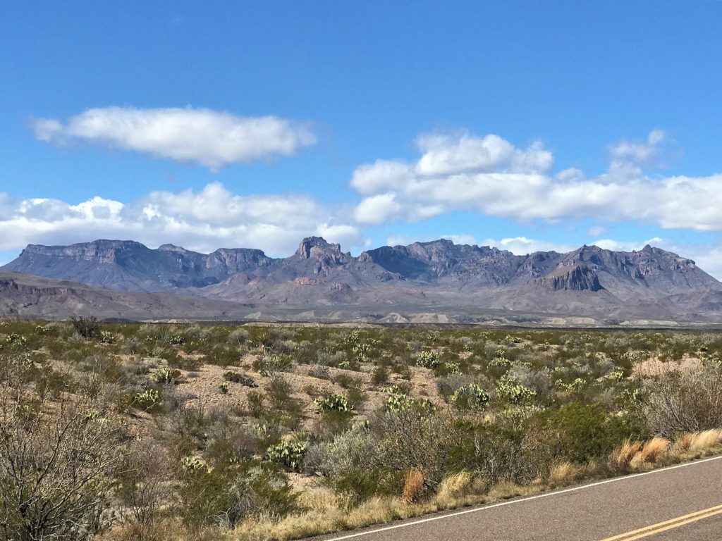
It is the only Park in the US that has a complete mountain range within its borders – the Chisos (CHEE-sos) Mountains.
By now, you’re probably wondering if I’m ever going to get to the interesting part of our day. 😊
After only one day in this Park, we can easily add it to one of our most favorites places we’ve visited in the past 2 ½ years! And I can tell you unequivocally that I’m definitely a mountain girl! I feel at home in these places. Especially here where there’s not only mountains, but also wide-open space. The scenery is sooo beyond-words-beautiful! The feeling is so peaceful and joy-filled! It’s hard to describe.
We started out early today and filled our day with a Ranger talk, three shorter hikes, and quite a few miles of driving. (We’re in “Rhode Island”, remember?)
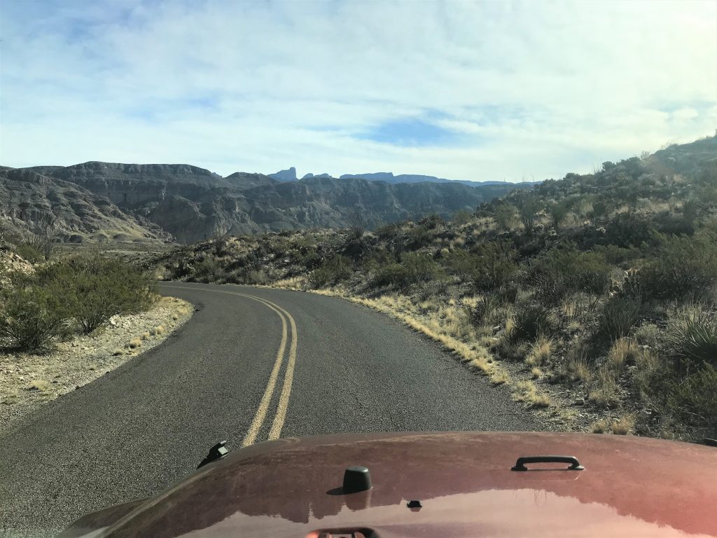
We left a little earlier than we needed to hoping the Visitor Center that’s close to us would be open at 8am, but it wasn’t, so we had some time to kill and spent it driving up the road and checking out a couple of special interest stops along the way.
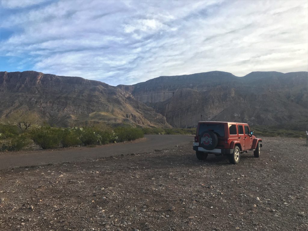
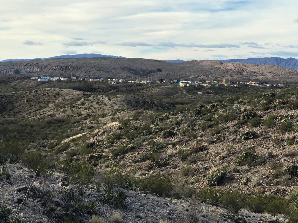
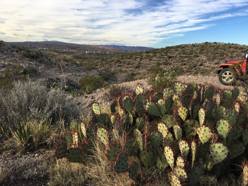
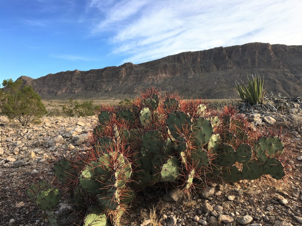
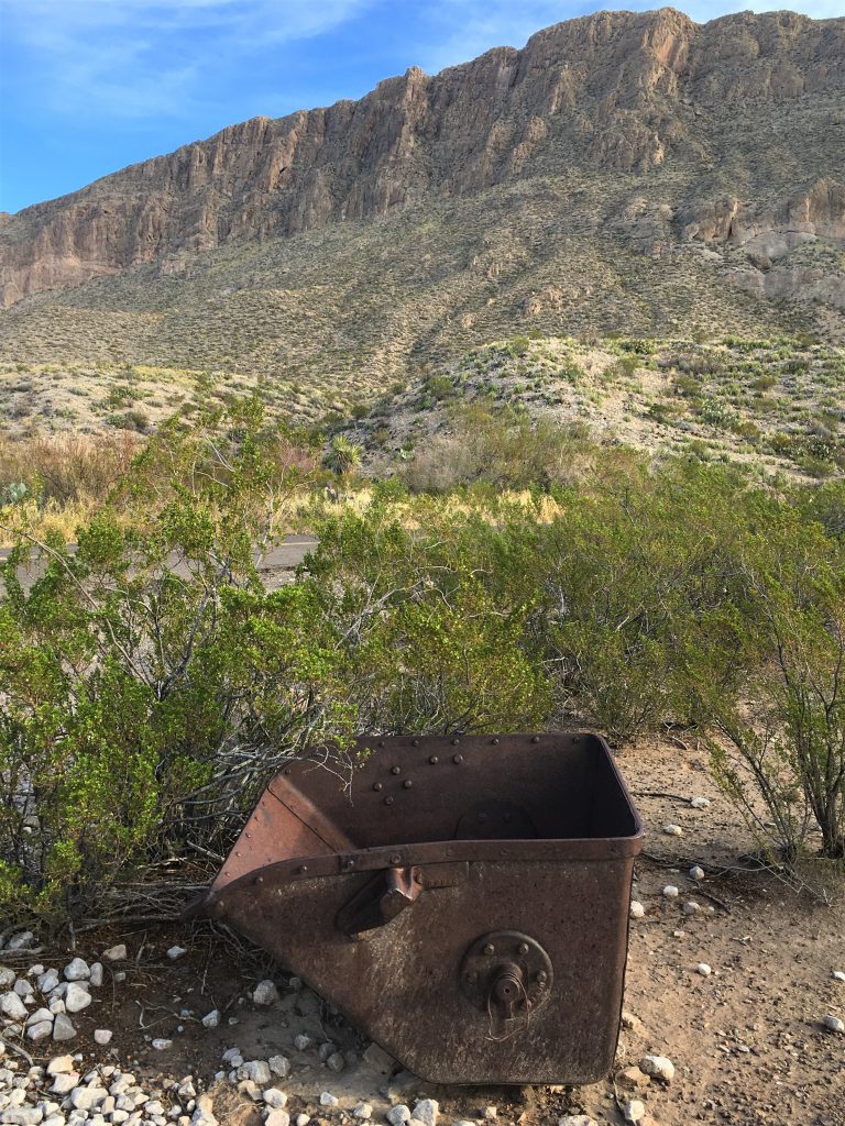
Smaller than I would’ve expected.
The talk (once we found it, which is a whole other story not worth getting into) was about the Rio Grande and the Barker house. First up? Just how are you supposed to pronounce the name of that river? It’s actually correct either way – Rio Grand, or Rio Graun-day. And that’s from our seasonal Park Ranger and guide for today, Jimmy Duke. Personally, I prefer Rio Grand. Saying it the other way, just makes me feel like I’m speaking really bad Spanish.
As we gathered together in front of the Barker House, one of the women in the group voiced a concern about the coyotes in the Park so close to the people, especially in the campground and wondered if signs couldn’t be put up not to feed them. Another person in the group spoke up and along with several others, began expounding on the fact that people don’t care about rules anymore and they do what they want (remember our sermon from Sunday?) and people who do care, don’t need rules to tell them not to feed coyotes. Anyway, the 1st woman spoke up again and asked the Ranger about the story she heard about the Park personnel beginning to shoot the coyotes with paintballs to scare them away from people, and Jimmy confirmed that’s true.
He also told us about one coyote in the Park who’d learned that if he walked out into the street whenever he heard a car coming, the people would stop and oftentimes give him handouts so they could take pictures. He said it did it to him once and he blew his horn, but that didn’t seem to phase him. Of course, Ranger Jimmy’s version of the story was much better than mine. 😊
Back to the reason for our tour.
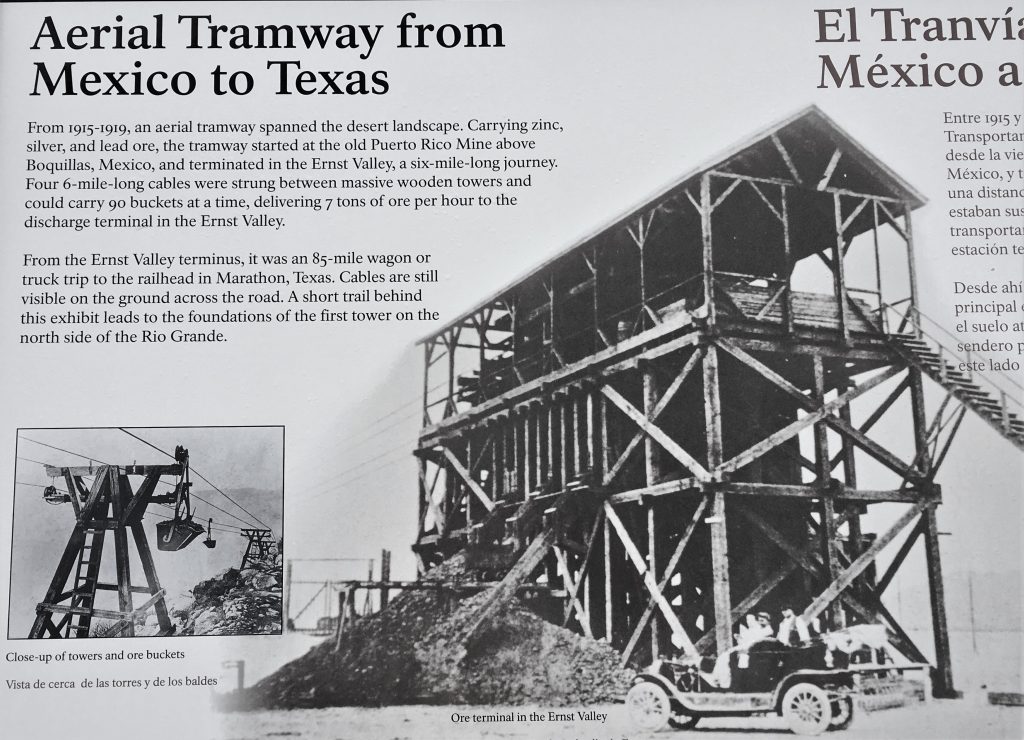
The Barker House, as it’s known today, was actually built in 1907 by a man named Rutledge. He worked for the government and monitored the trade in the area. At that time, there were 2,000 people living in the area and there was lots of trade with Mexico. Remember those information boards about the mining operation across the river?
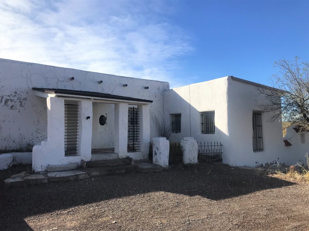
In 1910, Mr. Rutledge was transferred. The mines slowed down and most of the people who lived here left. For the next 20 years, men from the USDA lived and worked here, monitoring agricultural issues. The worst one was the need to stop screw worms coming from Mexico that were infecting the cattle.
In the 1930s, the house was sold as government surplus to a car salesman, Mr. Barker (I forget his first name because the Ranger spent most of the time talking about the guy’s dad.). Mr. Barker’s father was a famous Texas Ranger named Dudley Barker. When he retired, he moved here. He also entertained his numerous influential friends from his Texas Ranger days. The wealthy and influential Texans wanted Texas to have a National Park, so they convinced the State to purchase all the ranch land. Since ranching wasn’t very lucrative at the time, the ranchers were happy to sell out. Then, on June 6, 1944 (D-Day), the State of Texas gifted the deeds to all the land to the nation and a new National Park was born.
The house is now listed on the Historic Places register, which means there are special provisions and needs for it to be cared for. The Park sent out a message wanting someone to take it over for use as a B&B or something. They’re looking for someone with an idea to keep the house historic and in keeping with the mission of the Park. For a couple of hundred thousand dollars, it can be yours! 😊
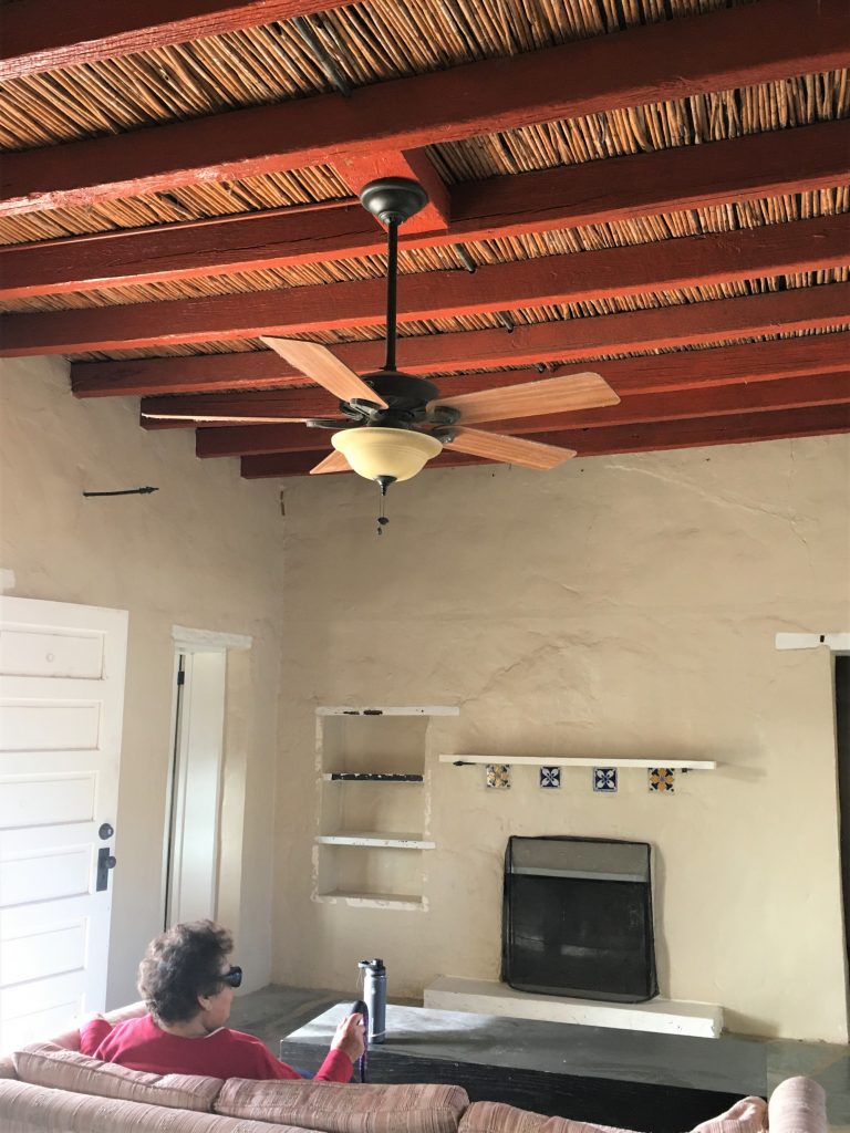
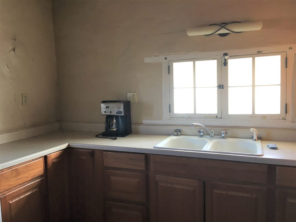
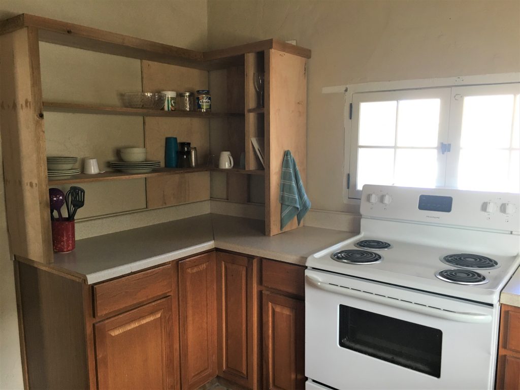
We were allowed to walk through it. It’s not much. No real surprise they’ve had no takers yet.
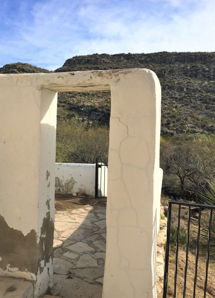


It was dated 1930-something. We couldn’t read it.

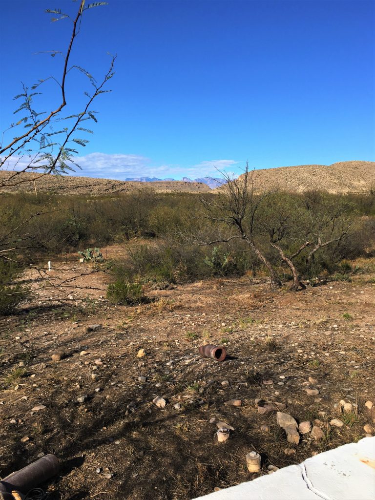
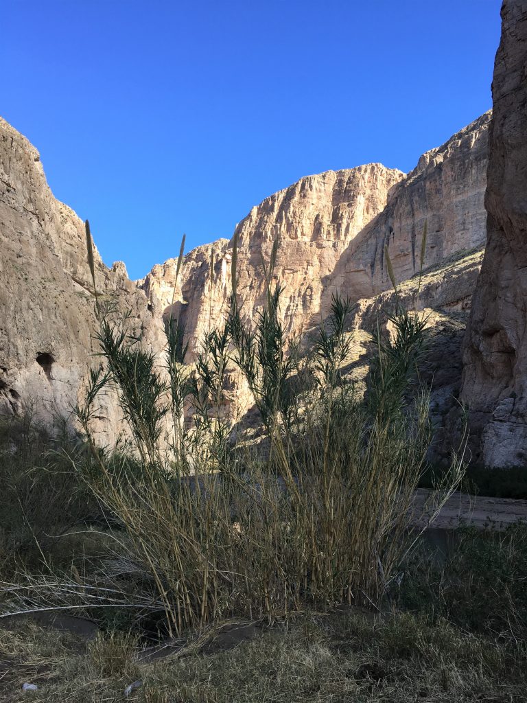
You may think, as we did, that the Rio Grande runs east and west from the Gulf of Mexico to the Pacific Ocean. It does not. It actually originates in southern Colorado and ends in the Gulf at Brownsville, Texas. And within the Park, it used to be a very wide and shallow river. Today it’s narrow and about 4-5’ deep. That’s because everyone’s damming and taking the water north of the Park, beginning shortly after it starts in Colorado. Most of the water in the Park actually comes from Mexico (which makes me wonder if that’s why they turn a blind eye over the contraband in the Park), and it’s polluted because Mexico has no guidelines. It contains chemicals and human waste. Know what that means to us personally? Absolutely no kayaking! We were also told about how this particular type of invasive sugar cane is the biggest threat to the Park right now. It was first introduced in the 1500s by the Spanish, brought over from Asia, to be used as thatched roofing. It was also considered decorative. So they (the National Park) have trained firemen from Mexico come over and do prescribed burns (another reason to be blind), then the Park uses a herbicide on it, and then some kind of specialty bugs to munch on it. It’s very hard to get rid of and will take a long time, even with all that they’re doing.
We also learned that it’s fine to boat on the Rio Grande (once you have your permit), but if you step out on Mexican soil (just to say you did it – like straddling those State lines and taking pictures 😊), and then step back on American soil? It’s considered an illegal entry and you could be in big trouble.
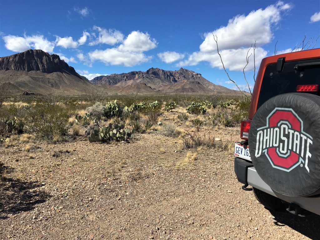
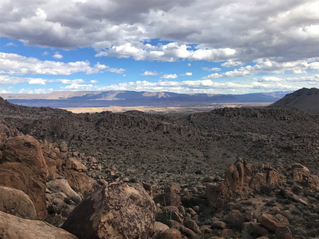
FYI: By the time you’re reading this, we’ve already explored much (if not all) of Big Bend National Park. I want to tell you right now, there is no possible way for pictures or words to describe the grandeur and surplus majesty of this place! So, when you look or read, just always think infinitely bigger and further away than it looks in the picture!
Now on to the really good stuff!
We actually did two quote-unquote easy trails today. By the end of the post, you can determine for yourself whether or not they might be mislabeled. Of course, you could always make the argument that these are easy . . . for this Park. It reminded us of a past memory from our Holden Beach vacation days, when Blaine’s mom bought large shrimp one day at the local fish market, then went back another day for more. They were still labeled with the same prices, but the “large” shrimp were much smaller and she was told they were the “large” for today. In other words, I guess it’s all relative. 😊
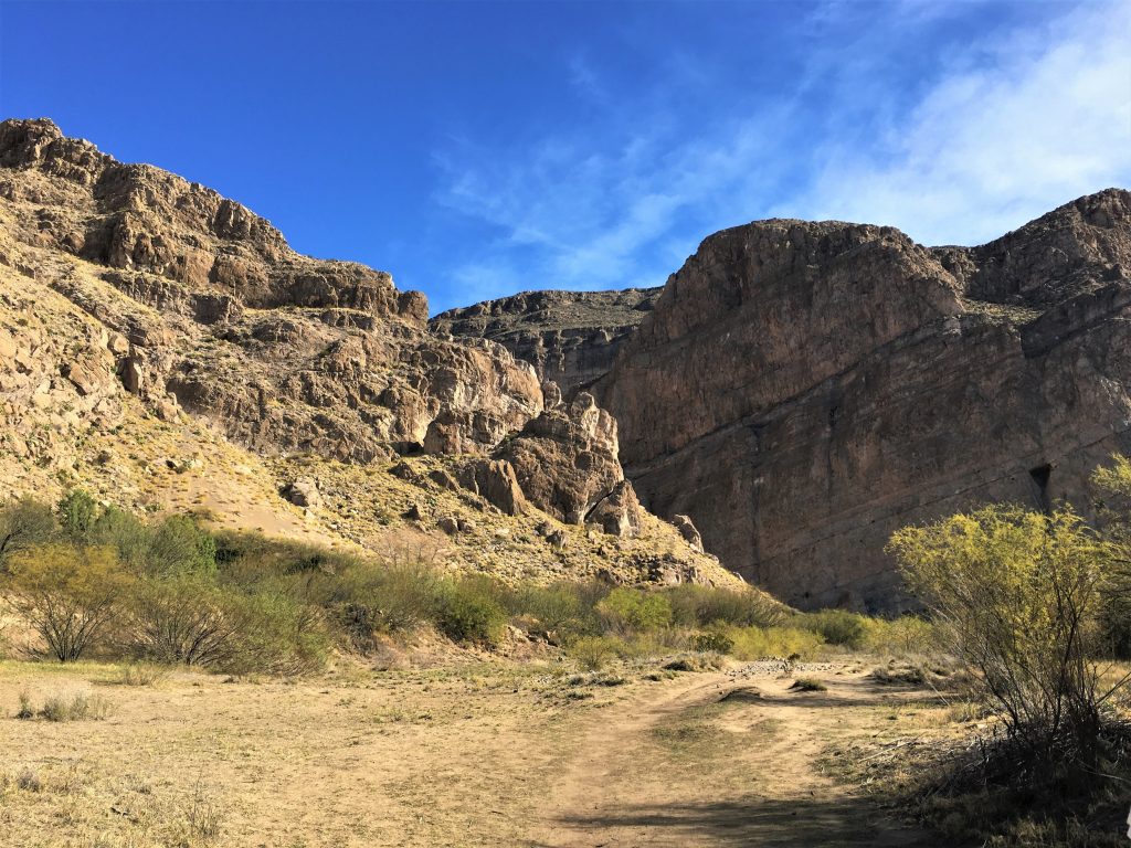
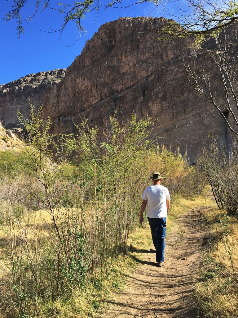
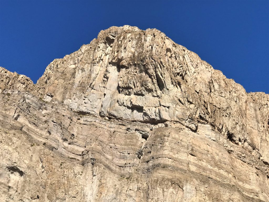
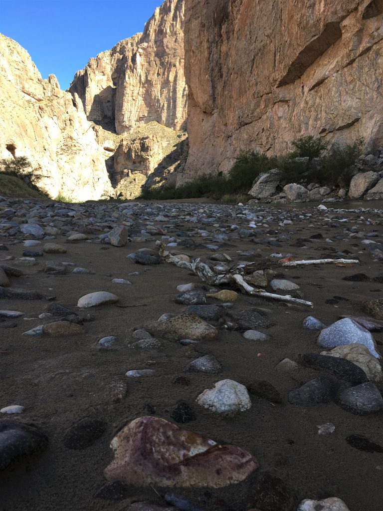
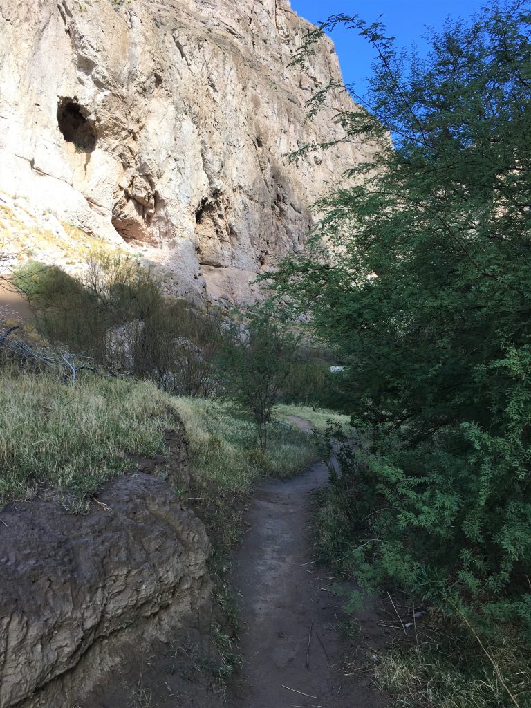
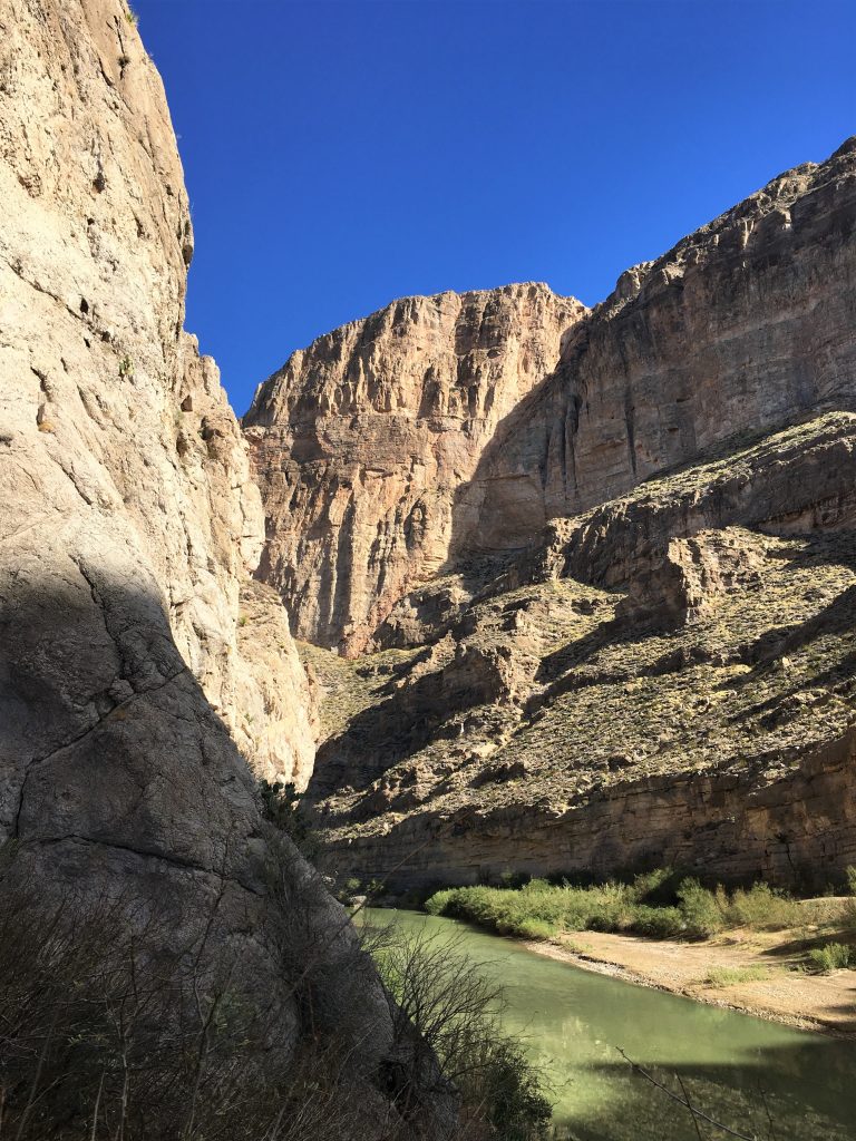
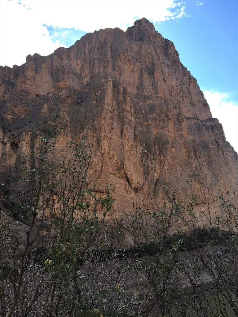
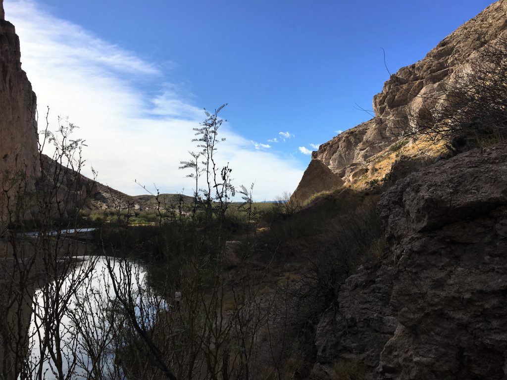
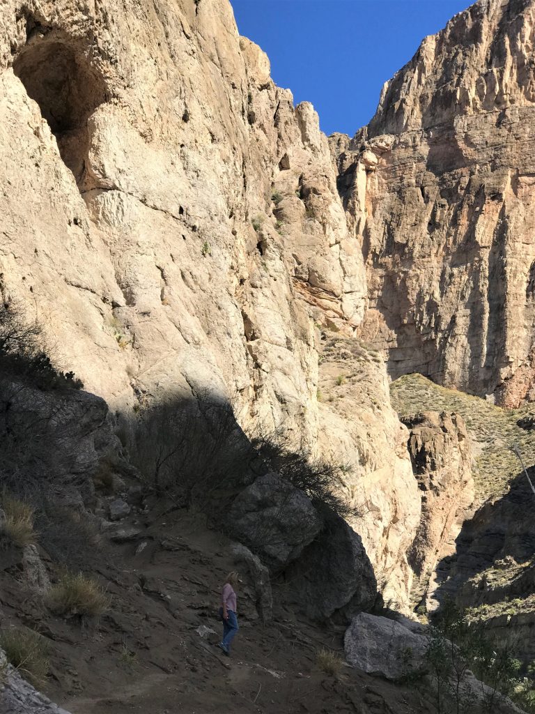
After our tour, we drove a short way back up the road to the Boquillas Canyon trailhead. Labeled as “easy”, the only easy part was once we reached the canyon floor, and that only for a short distance. And because it was supposed to be easy, we were wearing our tennis shoes and carried no hiking sticks. We should’ve. And we should’ve been wearing boots. Lesson learned. And I’ll bet they sell a lot of those contraband walking sticks here. Or maybe people just borrow them (Which is wrong, by the way. More wrong than buying them.) It was a magnificent view of the canyon, and we had a wonderful time!

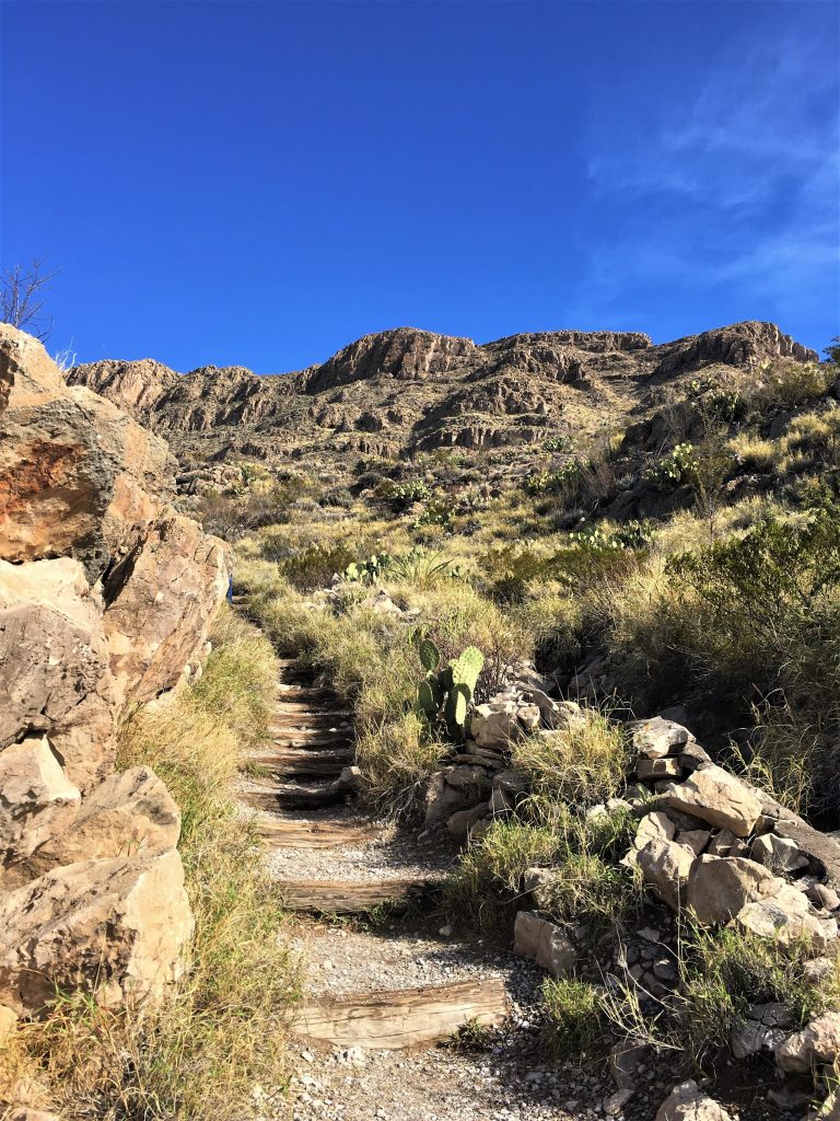
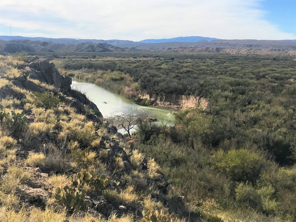

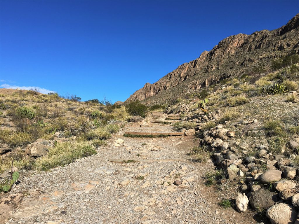
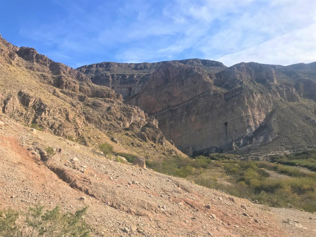

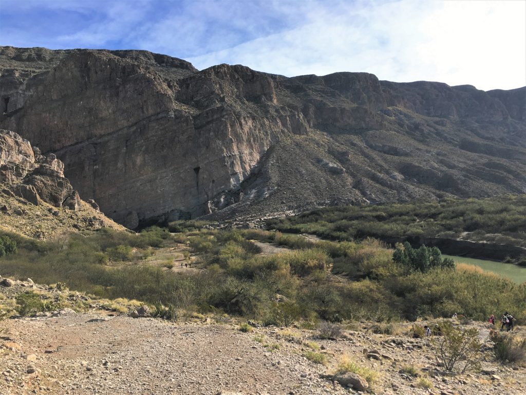
Easy-peezy! Not!
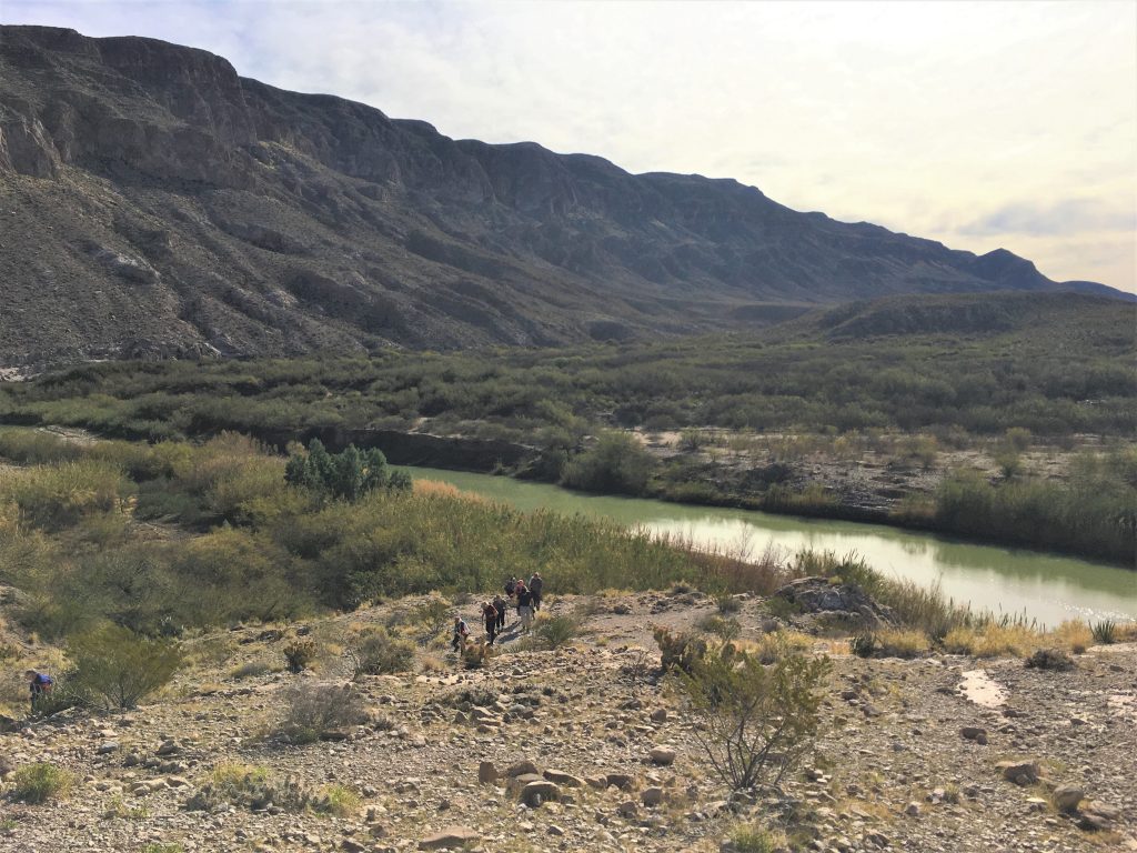
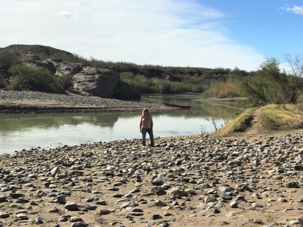

He rows the boat over to see if he can get any takers on a ride. But it’s illegal.
Hopefully, people are smart enough to realize that, but ya gotta feel sorry for the guy.
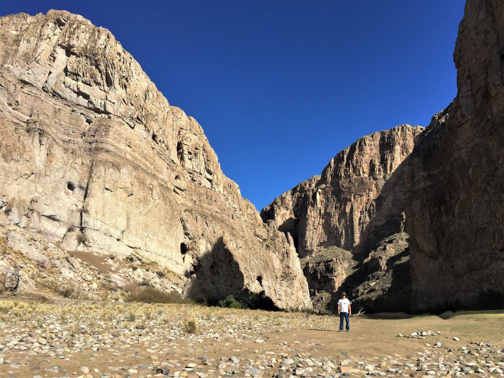



It’s a long way! Can you see him?

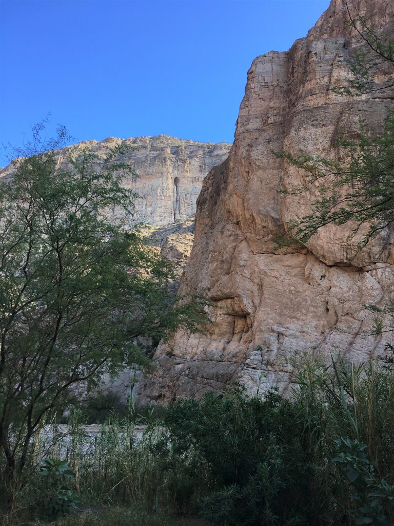
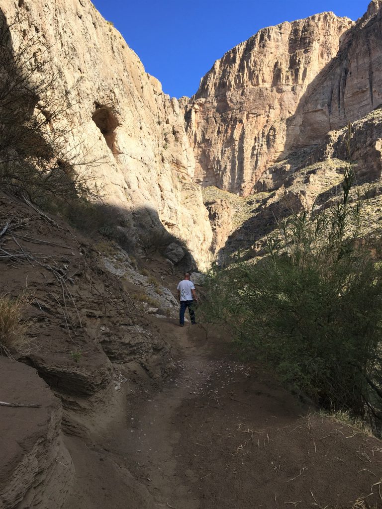
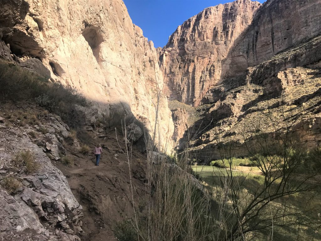
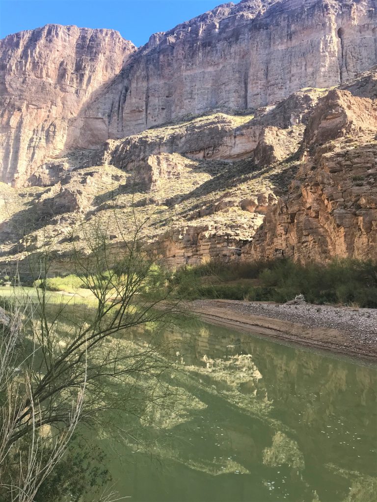

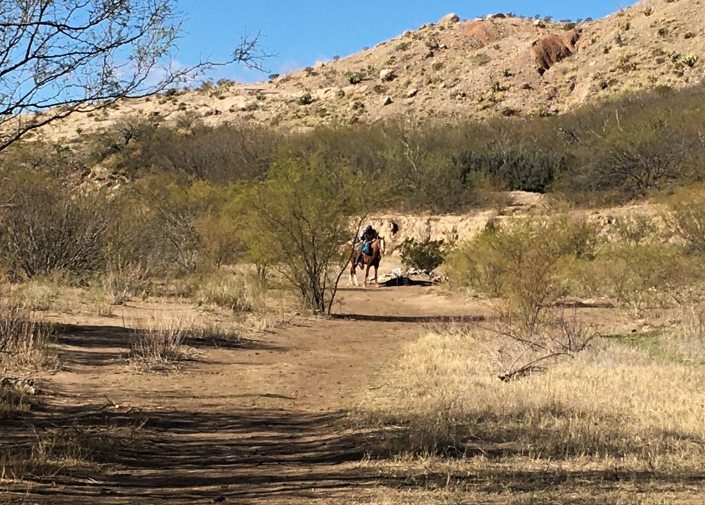
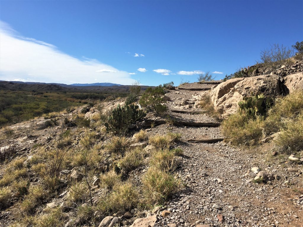


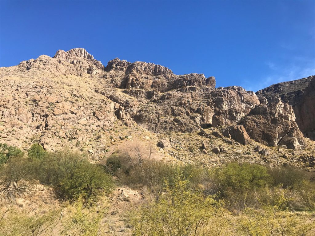
You can find beauty in everything if you look. : )
After a quick lunch back home, we headed to the Panther Junction Visitor Center.
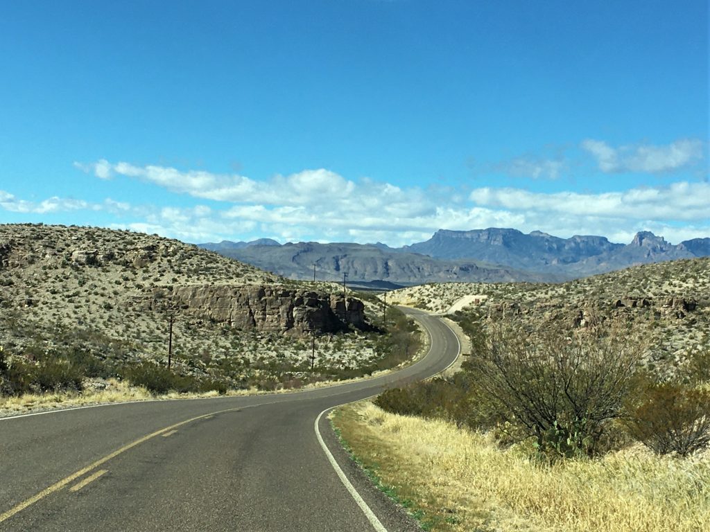

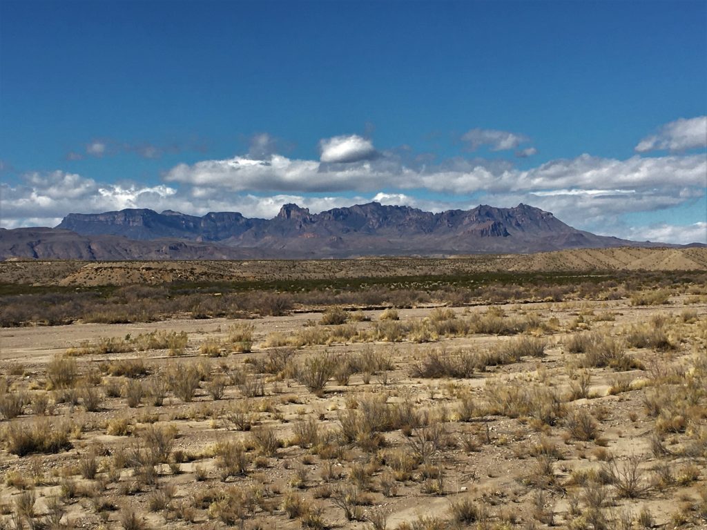


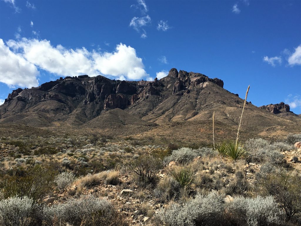
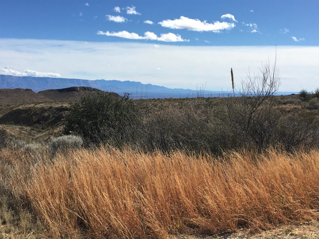
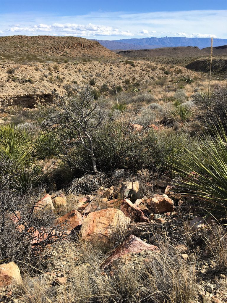

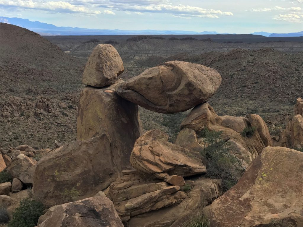
Our next adventure awaited at Balanced Rock.
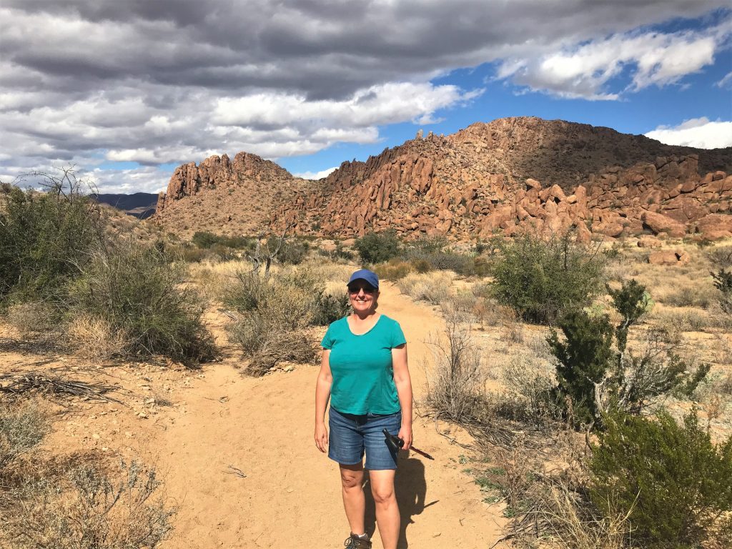
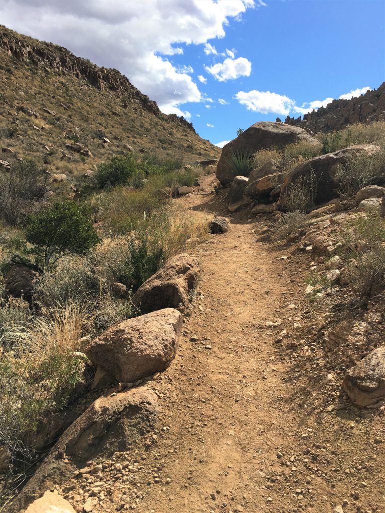
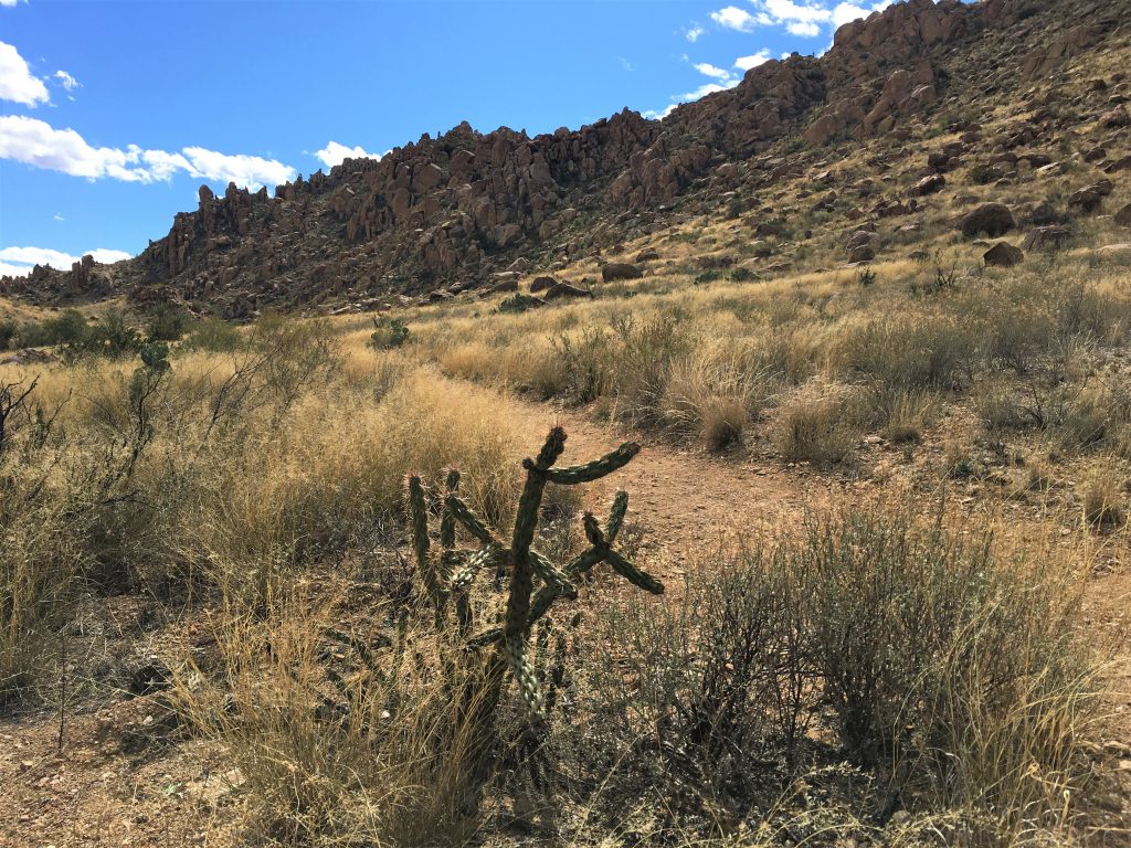
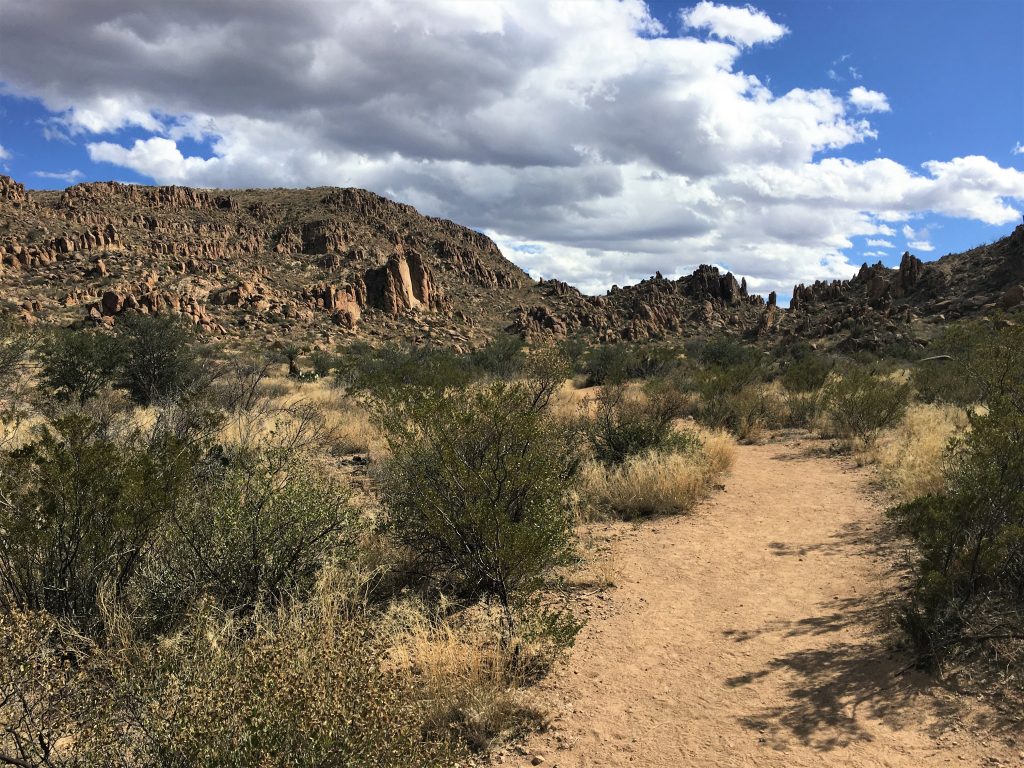
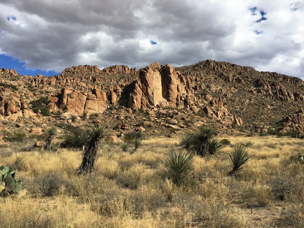
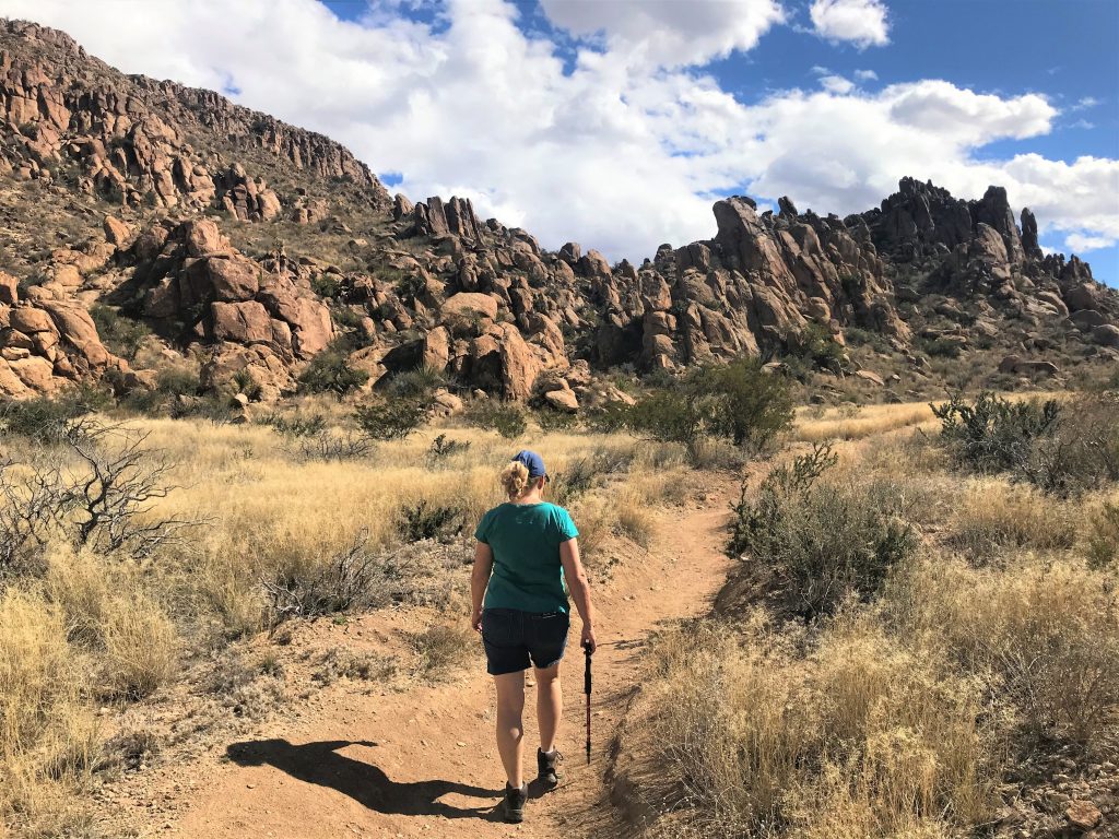
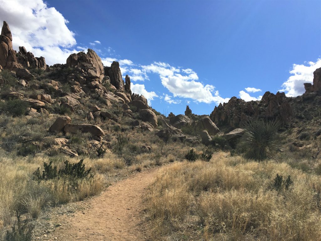
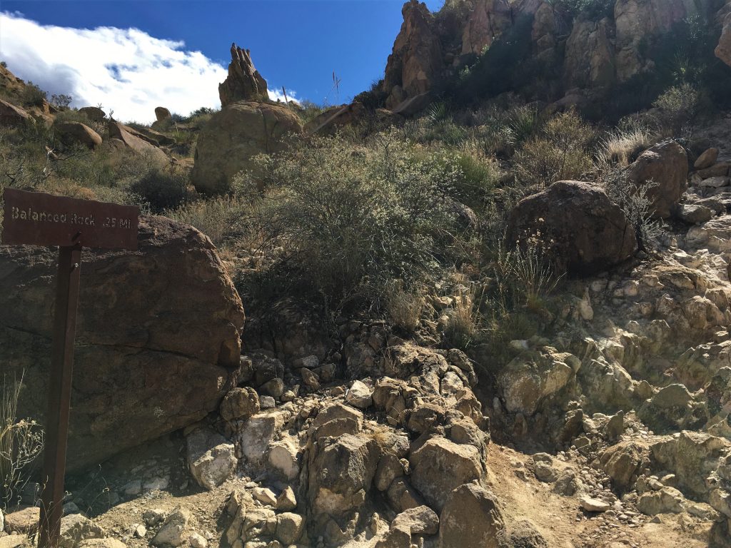
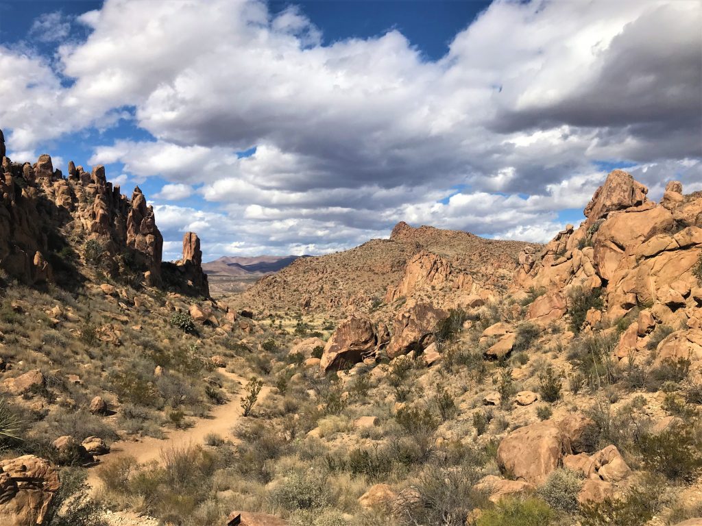
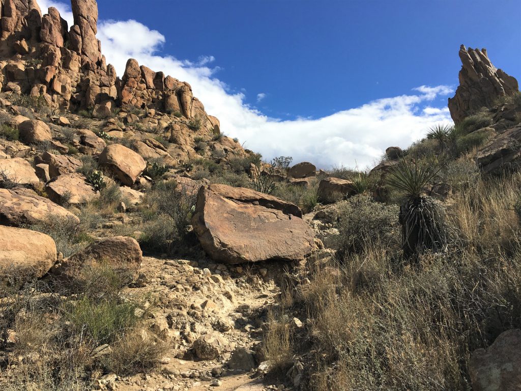
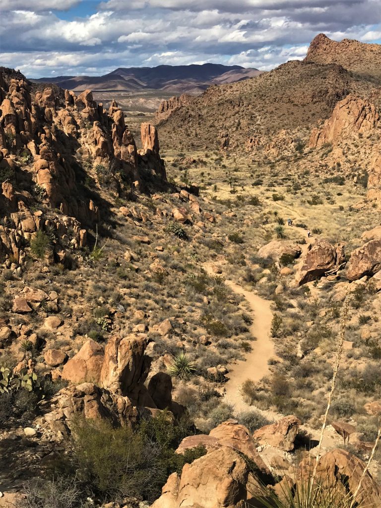
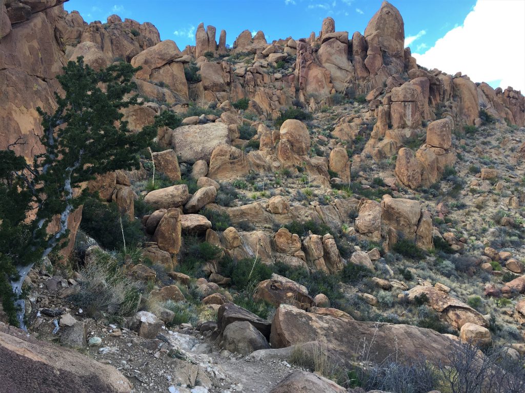
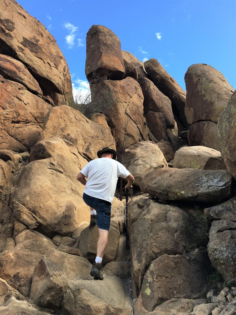
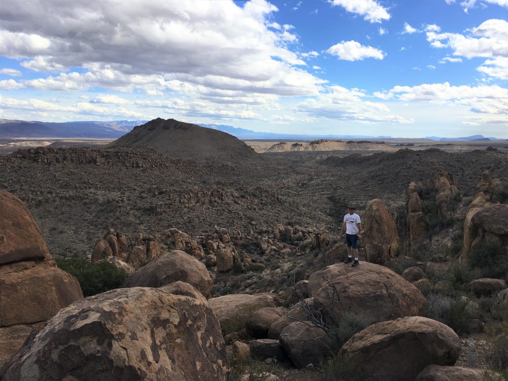
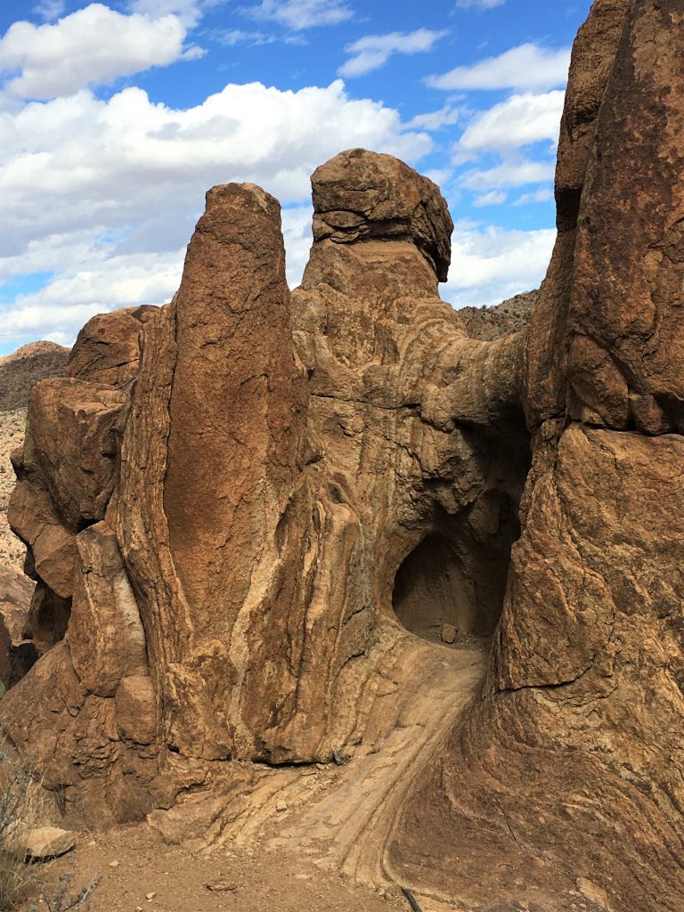
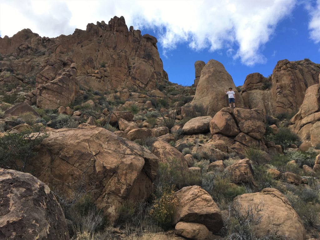
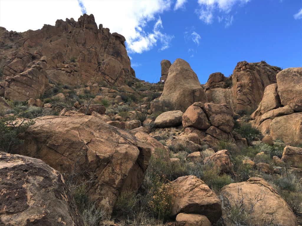
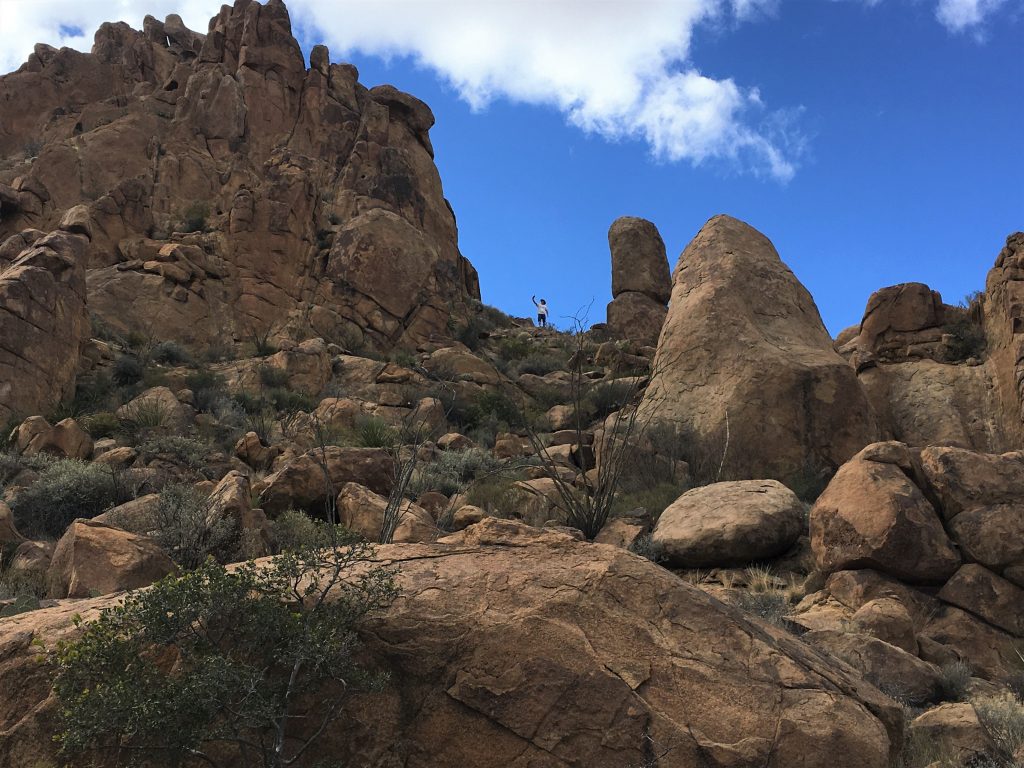
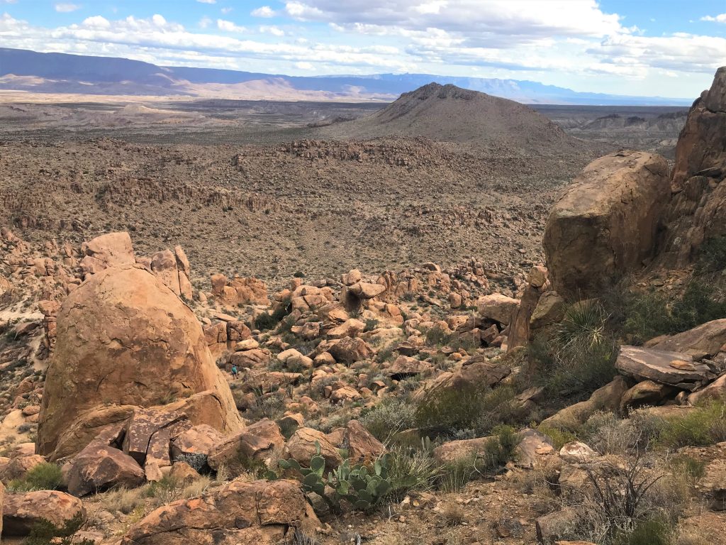
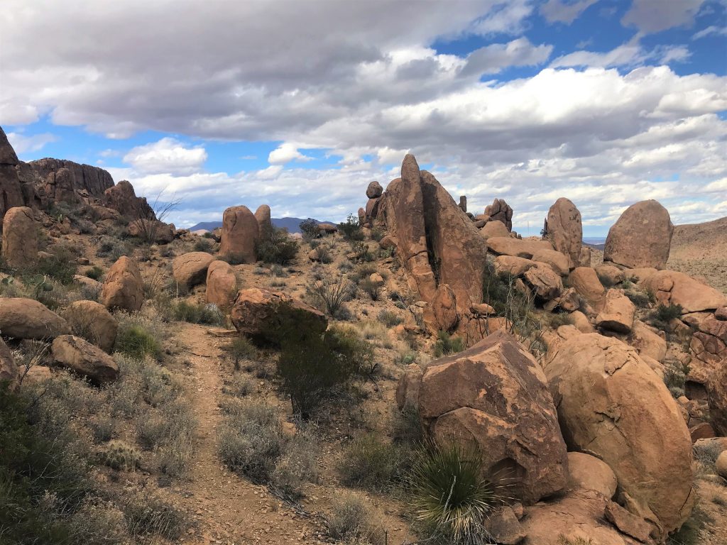
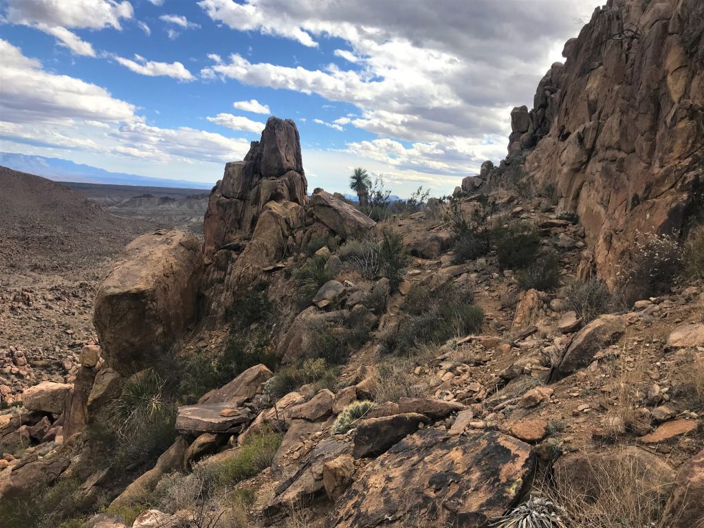
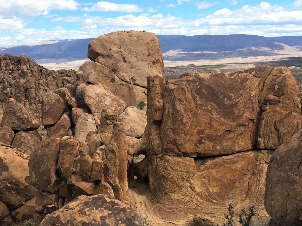
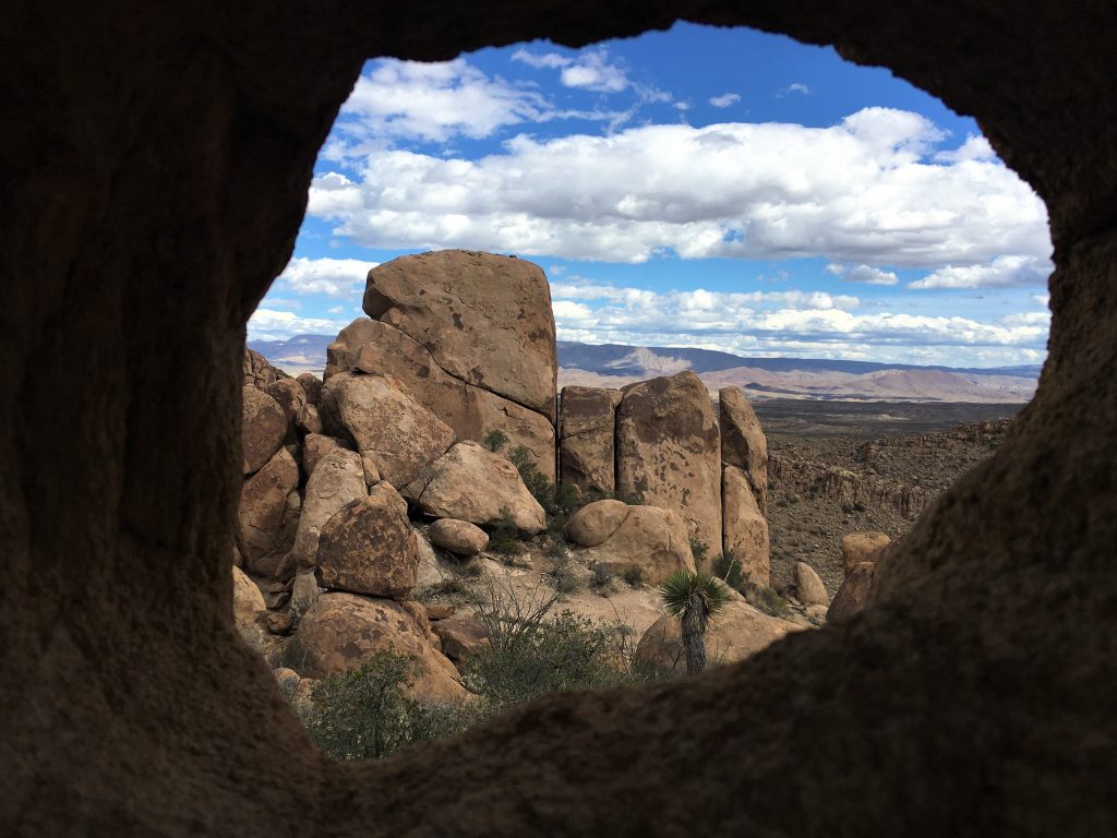
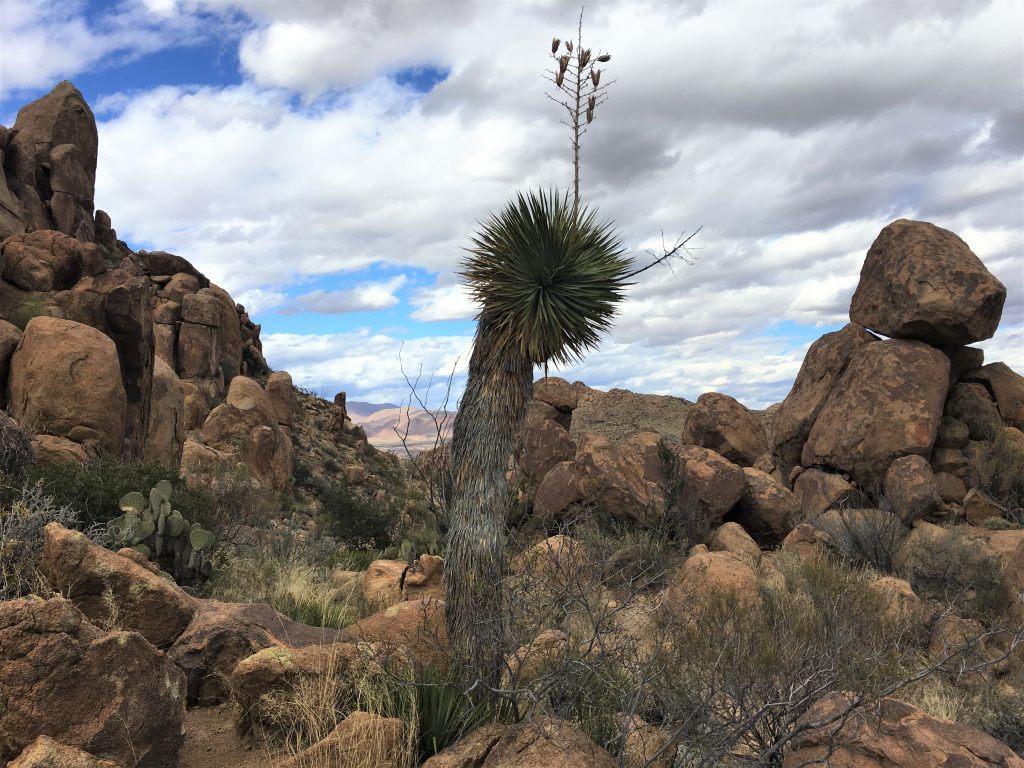
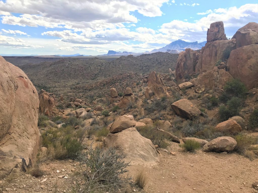
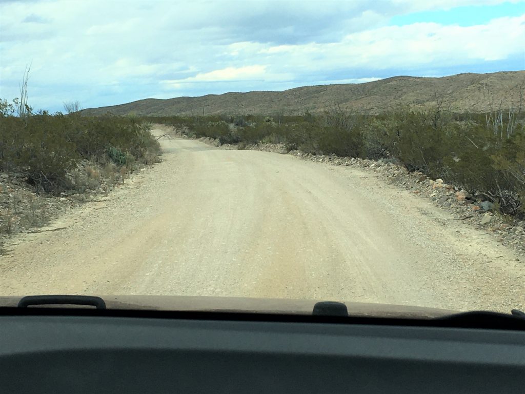
To get to Balanced Rock, you have to drive down a dirt and gravel road for 6.4 miles, and then hike another mile in. The description of the trail in the Park newspaper reads – – “EASY. Follows a sandy wash through a boulder field. A short but steep climb near the end takes you to a large balanced rock. No shade.” This was our second “Easy” trail of the day. That short steep climb? It was a quarter-mile rock scramble! Fun, but definitely not easy! I realize they may not have what most of us would consider “easy” trails here, but they should mark it as easy/moderate or something. The only reason we took our sticks with us was because of the other ‘easy’ trail we were on – when we didn’t take our sticks. 😊
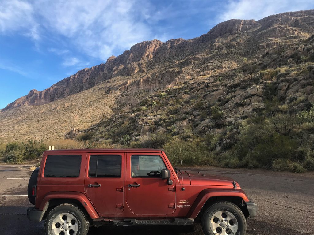
Even the drive wasn’t suitable for cars. Jeeps and large pick-ups? Fine. But not your average car. Some of the roads here have signs posted at the beginning warning you not to drive your car on them, high-clearance vehicles only. This one didn’t have that, and it really should.
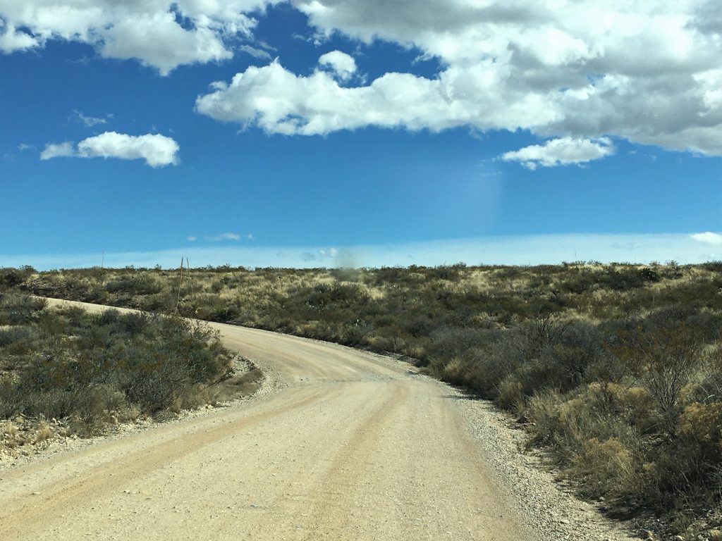
This road actually is named and shows up on the gps. : )
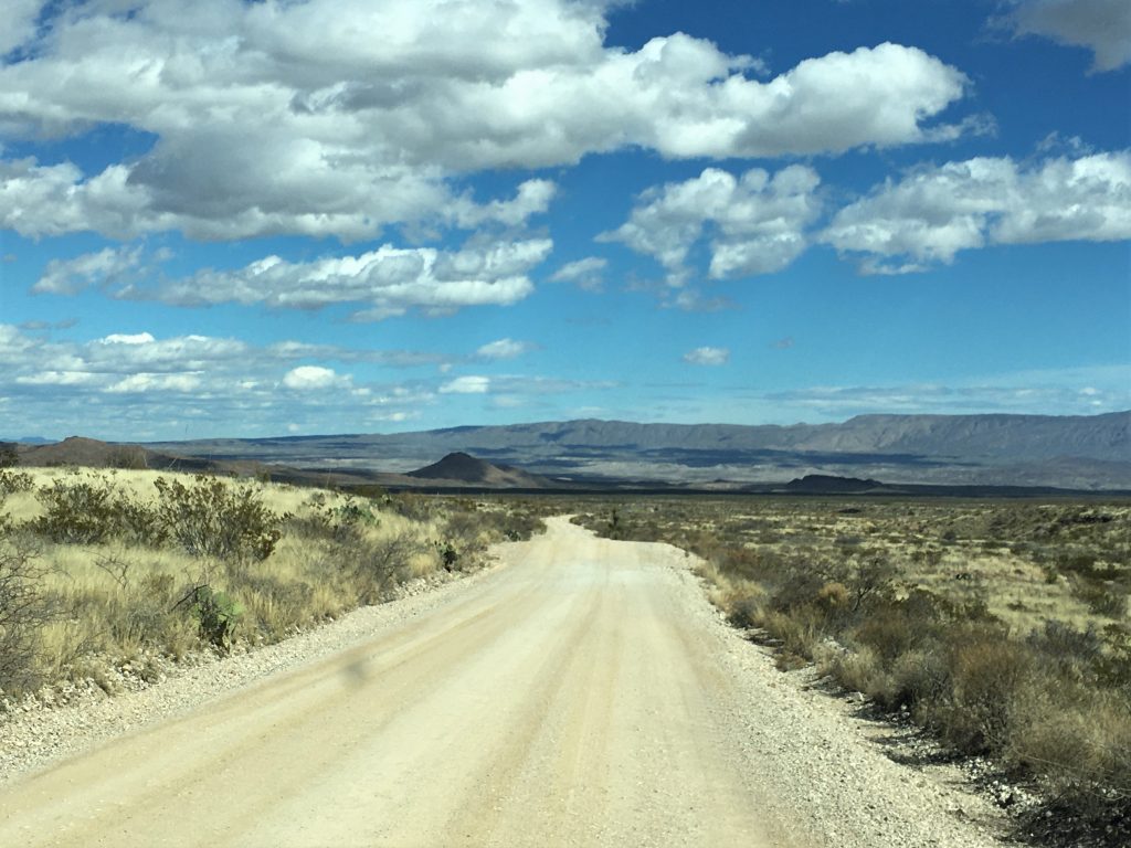
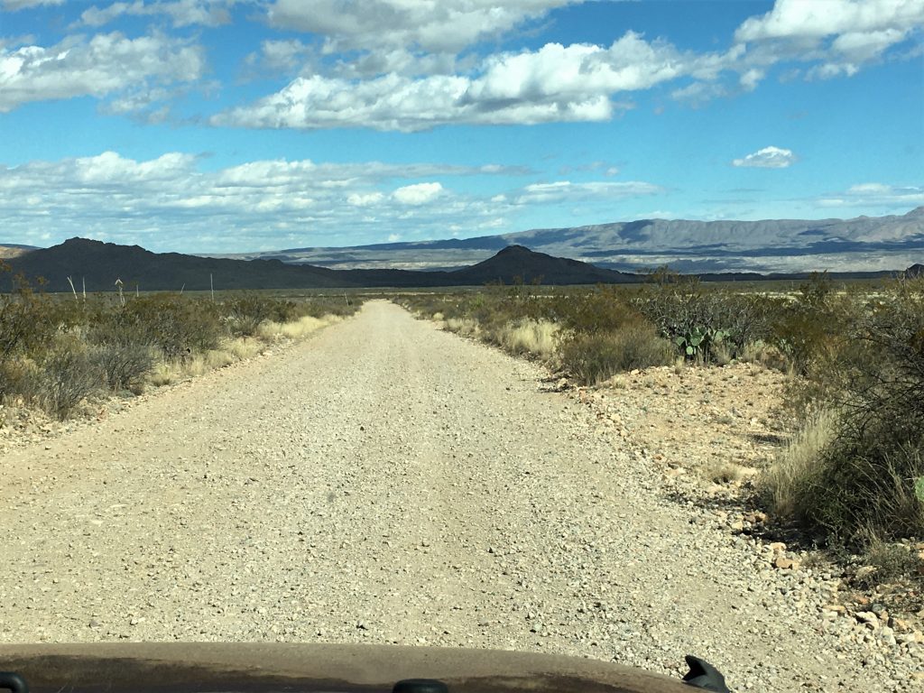
It had some pretty deep holes and ruts.
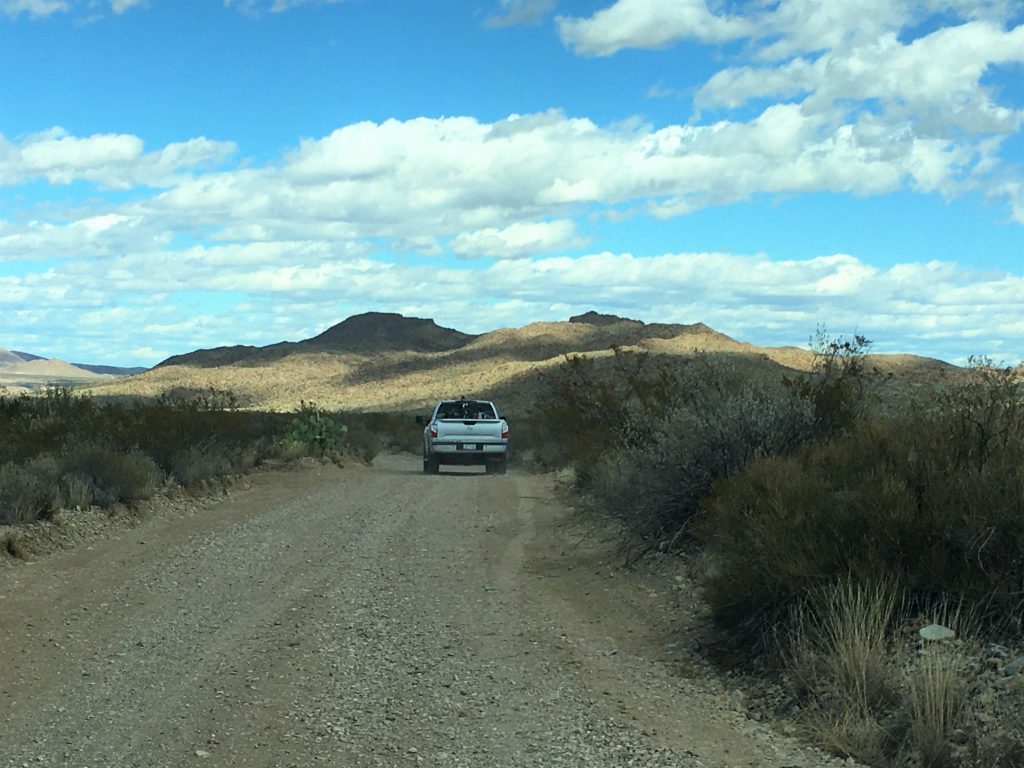
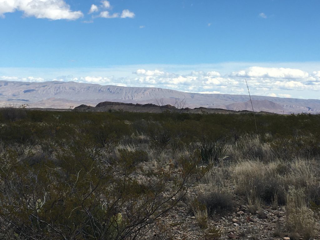
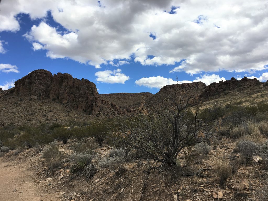

I didn’t take the time to take a picture of the sign at the trailhead.
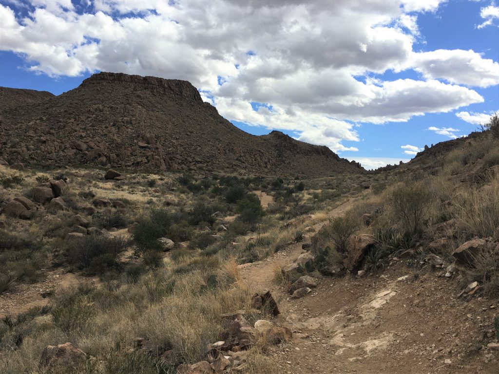
This trail was magnificent! And easy as advertised.
Until the end.
And then it gets fun AND magnificent! : )
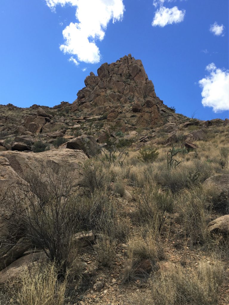
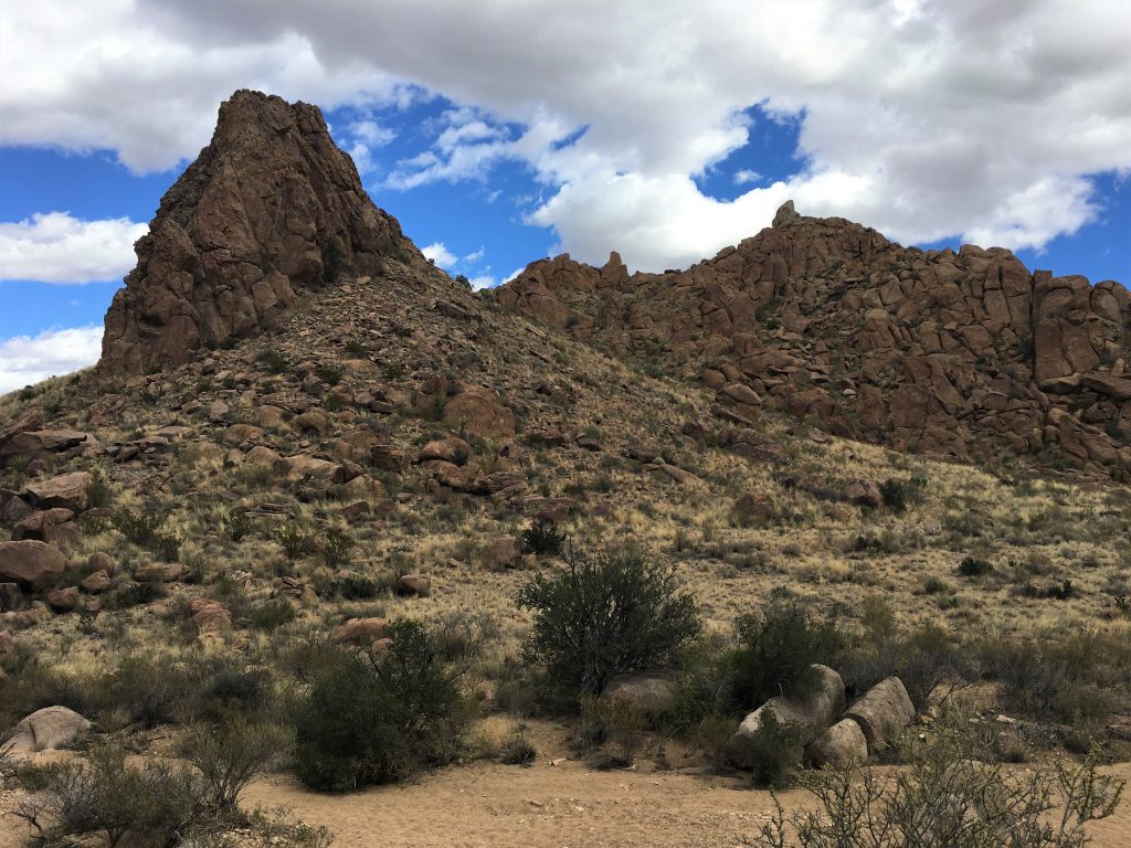

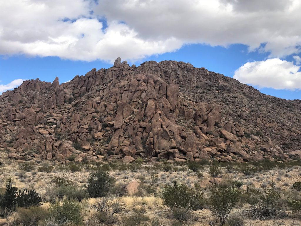



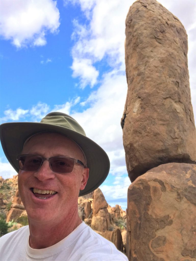
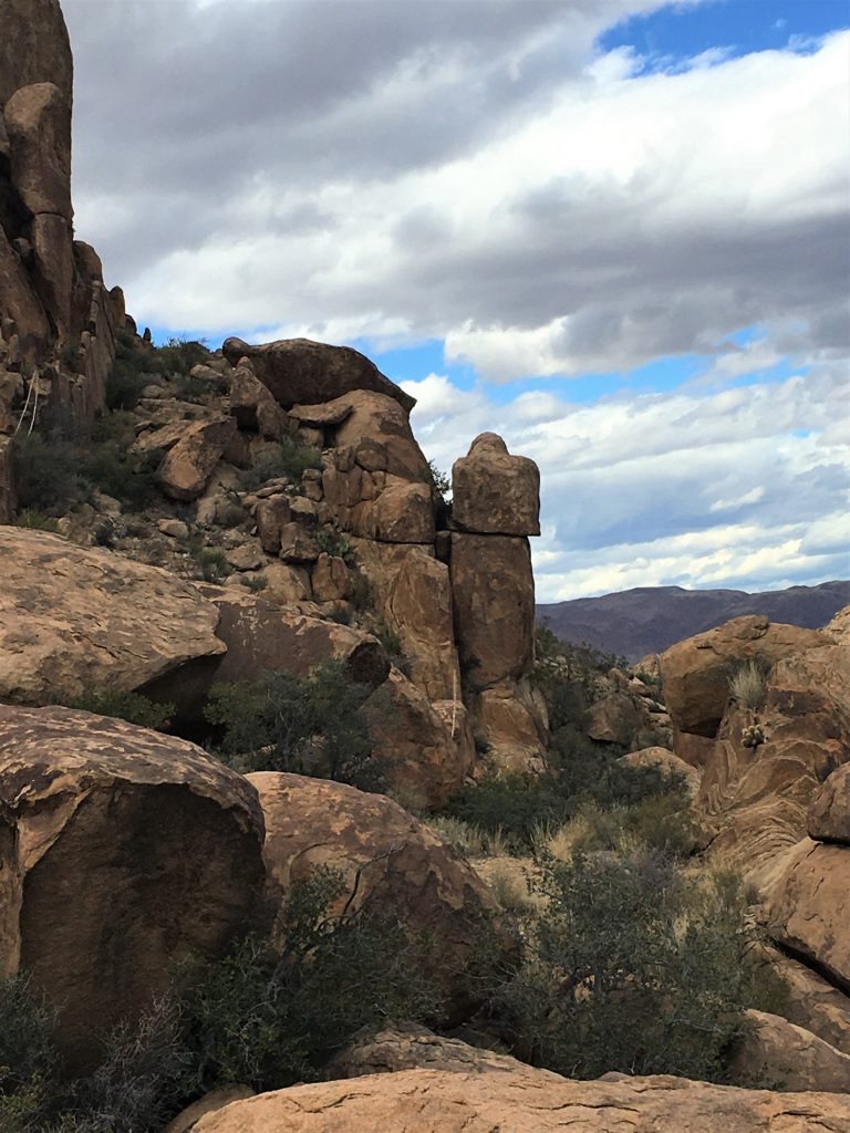
but doesn’t this remind you of Star Trek or Close Encounters of the Third Kind? lol!
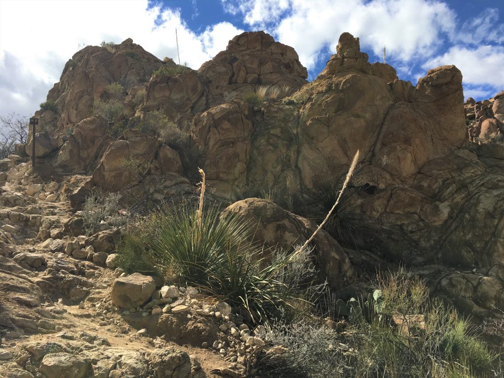
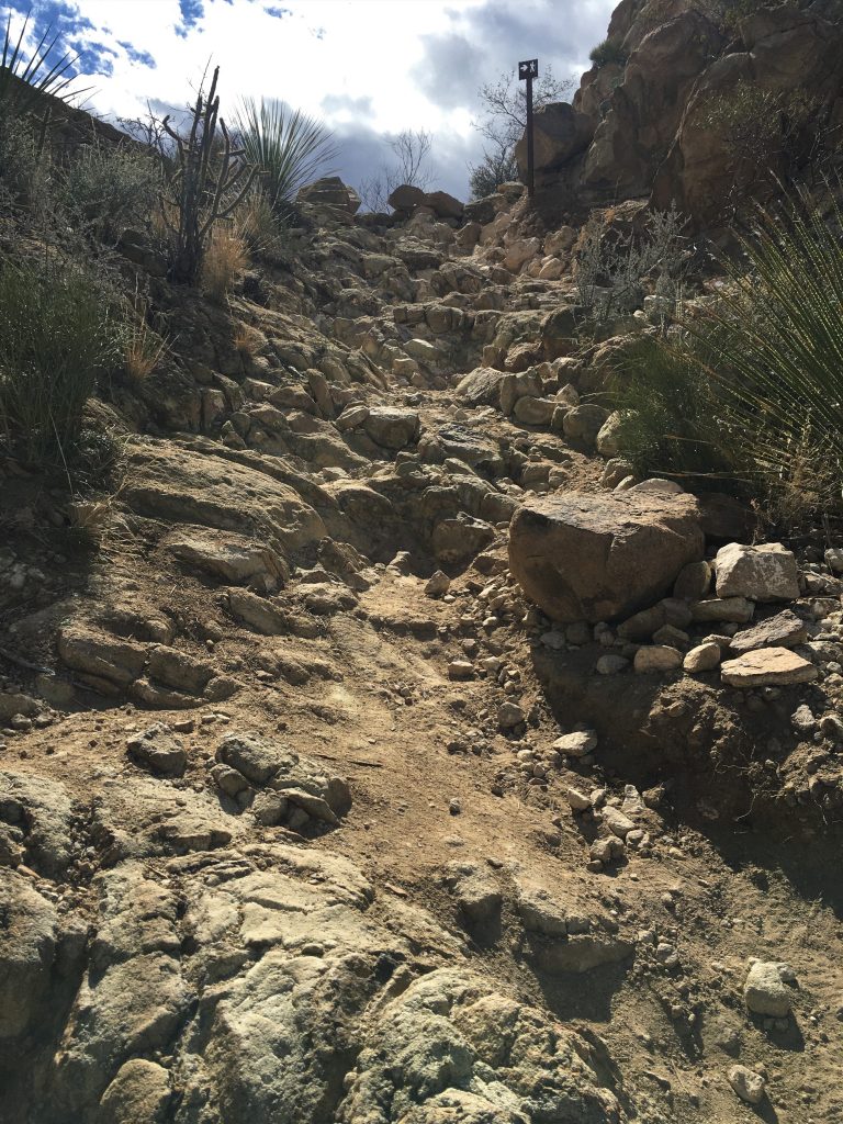
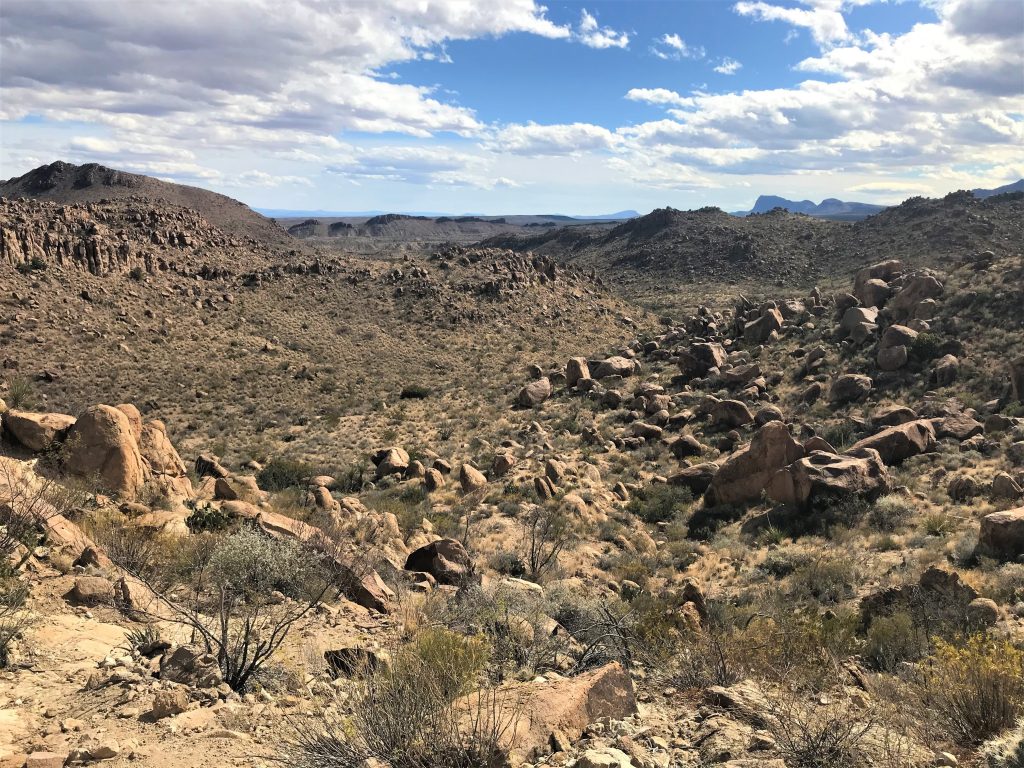
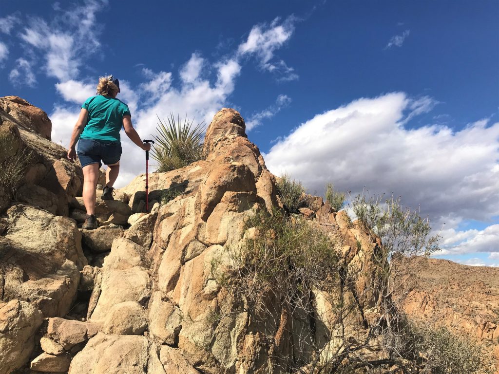

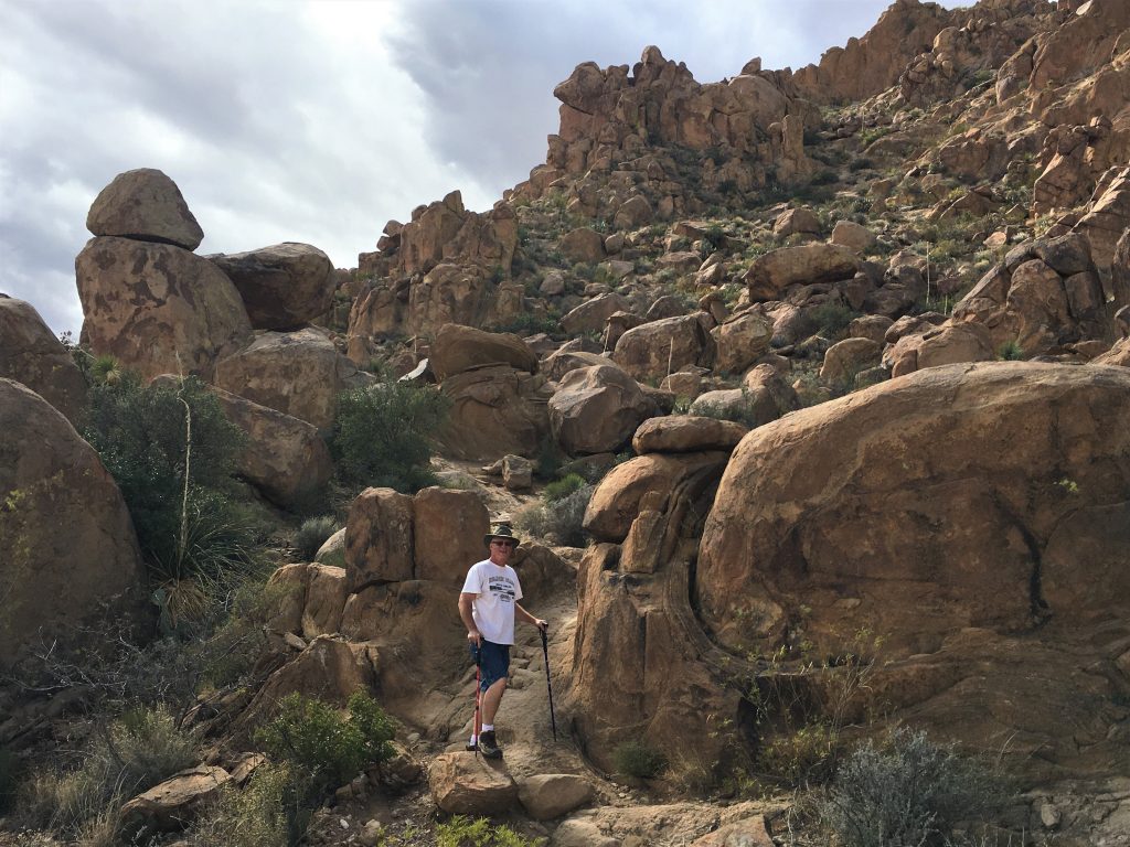
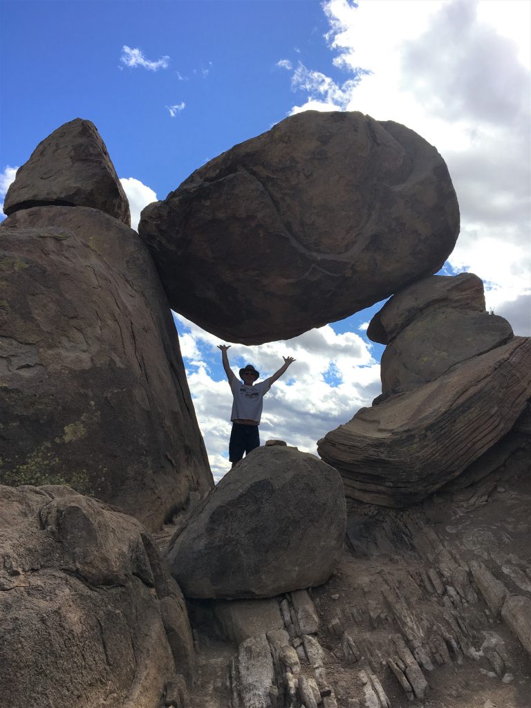

How does it stay up there??

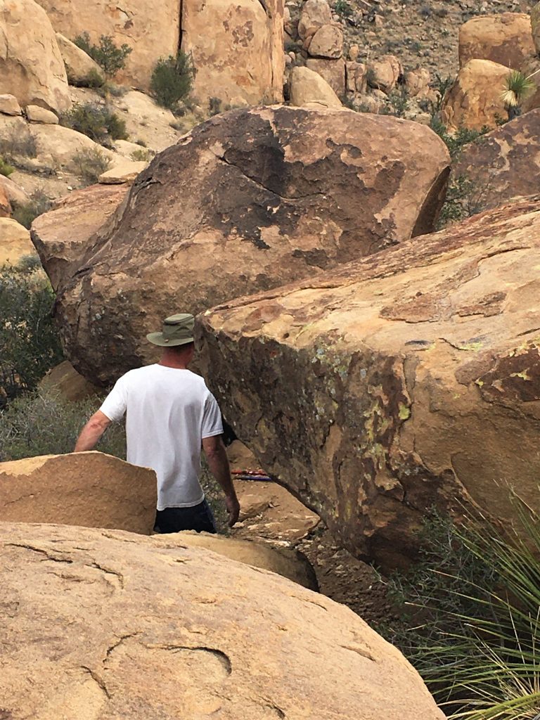
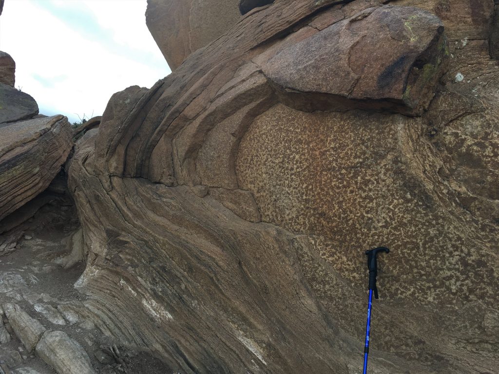
I grew weary of carrying our sticks and trying to climb around on the rocks, so I set them down.
The problem was, when we were done scrambling around, I couldn’t remember where I’d put them! lol!
Of course, Blaine didn’t think it was too funny as we searched for about five minutes or so. . . .


That’s the family we followed in. : )

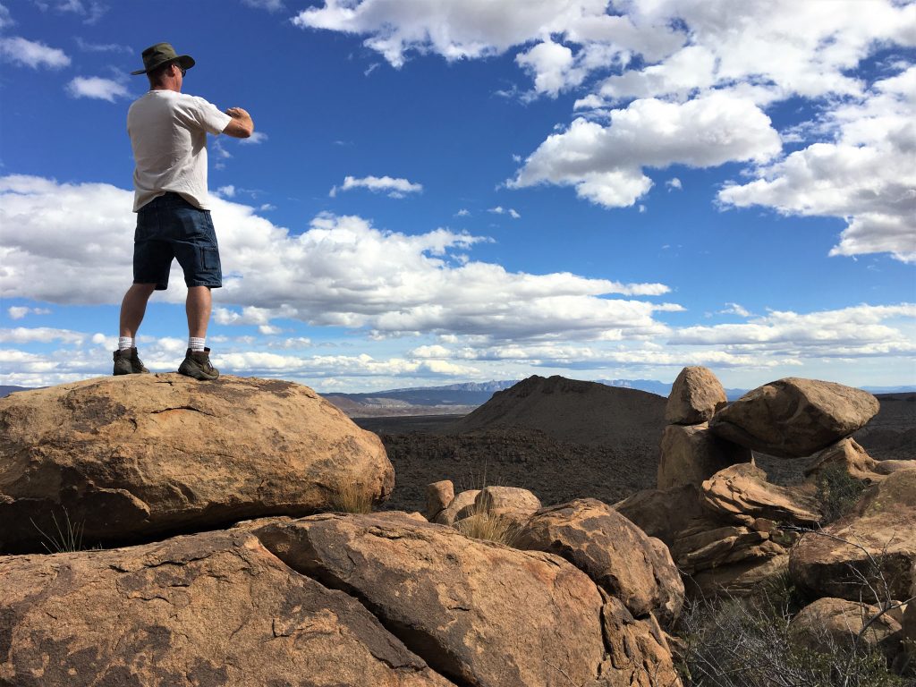


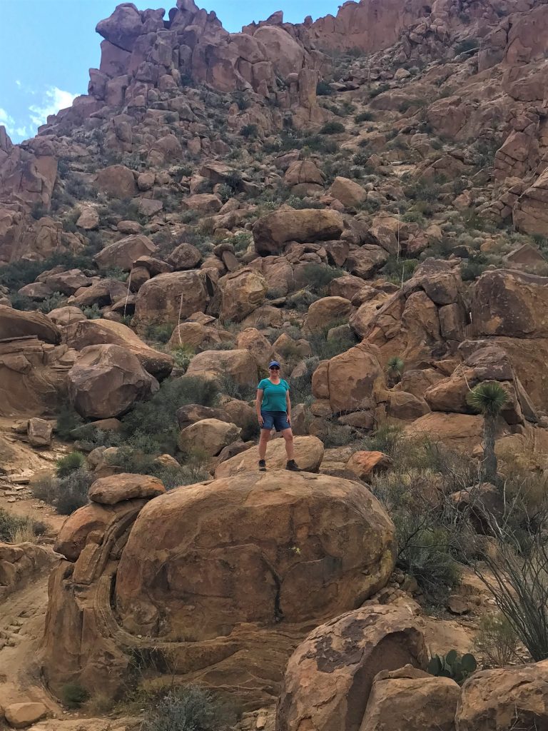
He took me . . . .
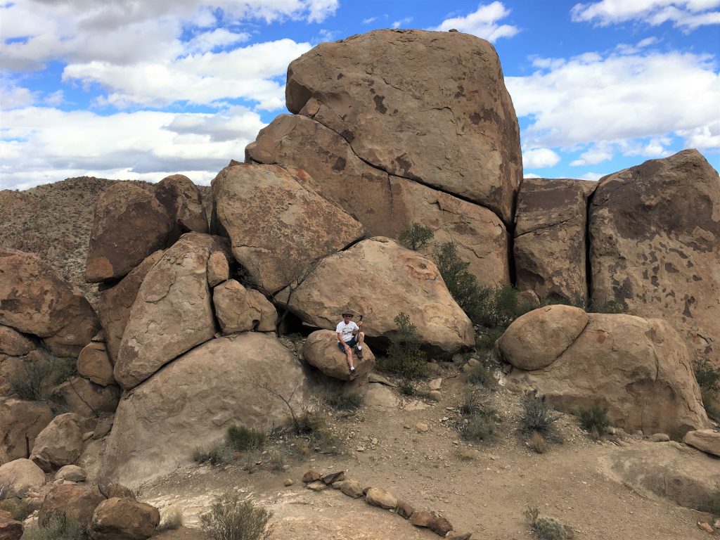
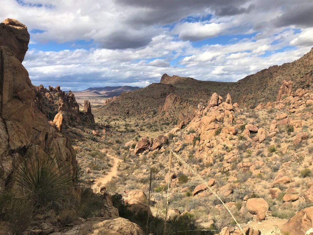
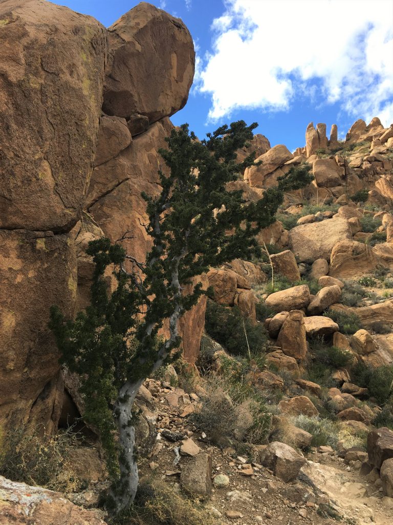

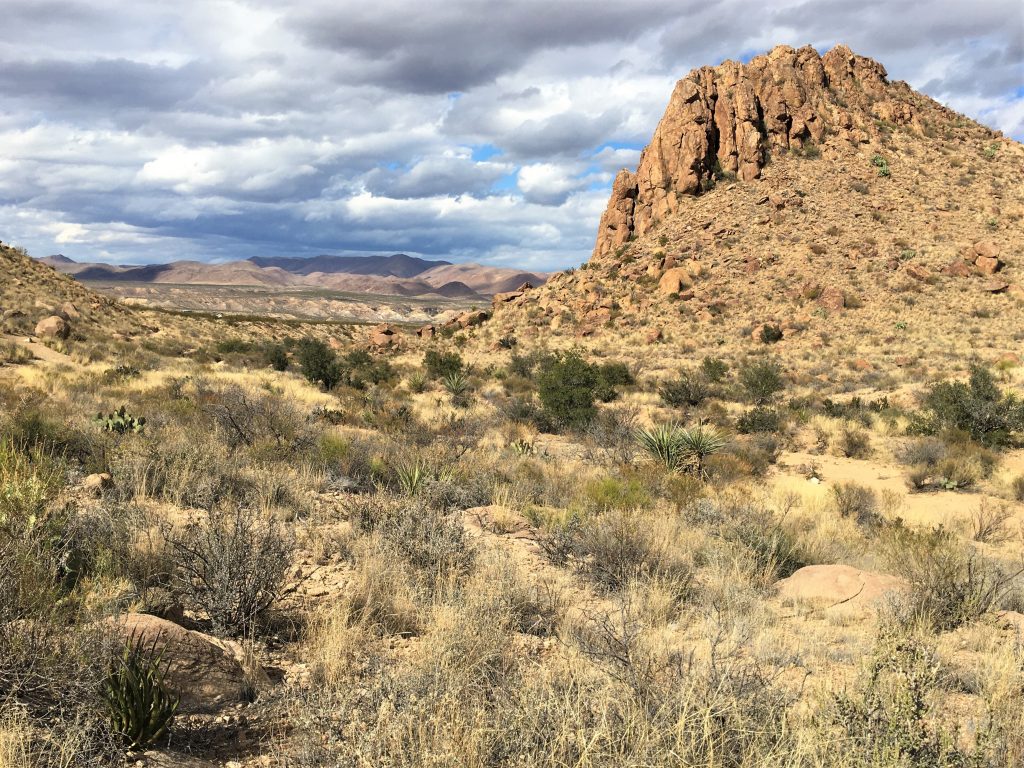
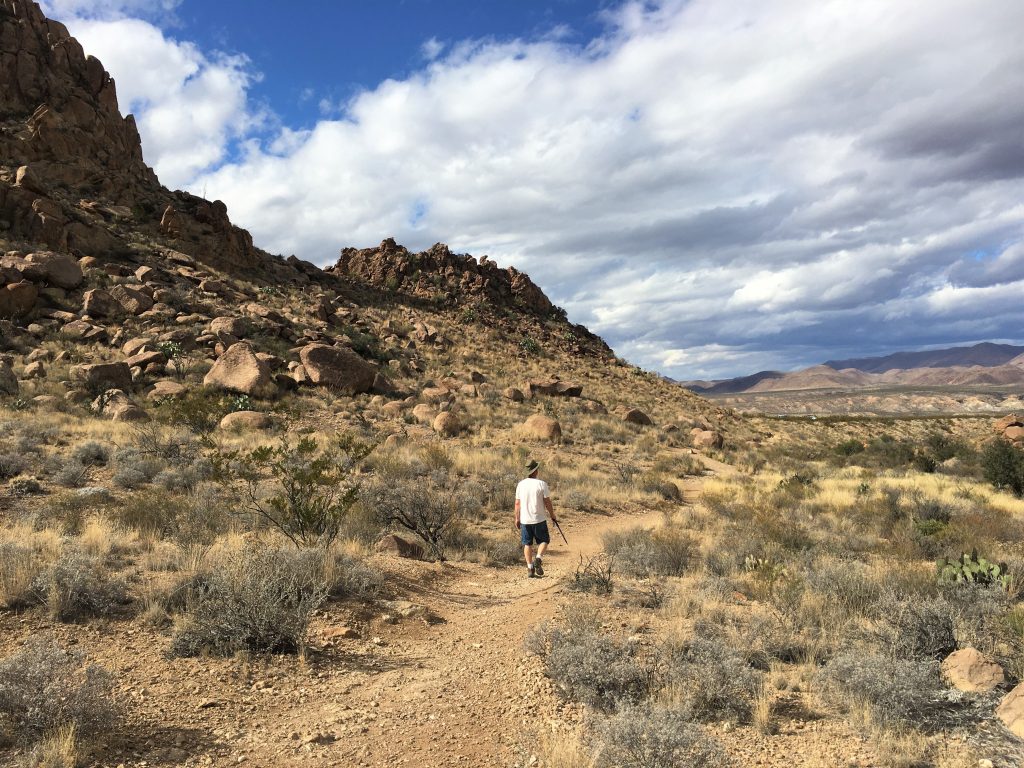

What a fantastic hike! Everywhere we looked was beautiful! And incredible! And breathtaking in some way!
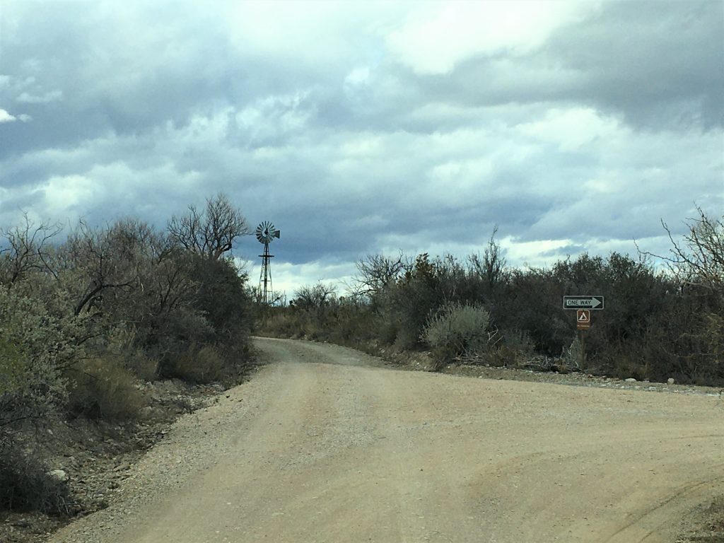
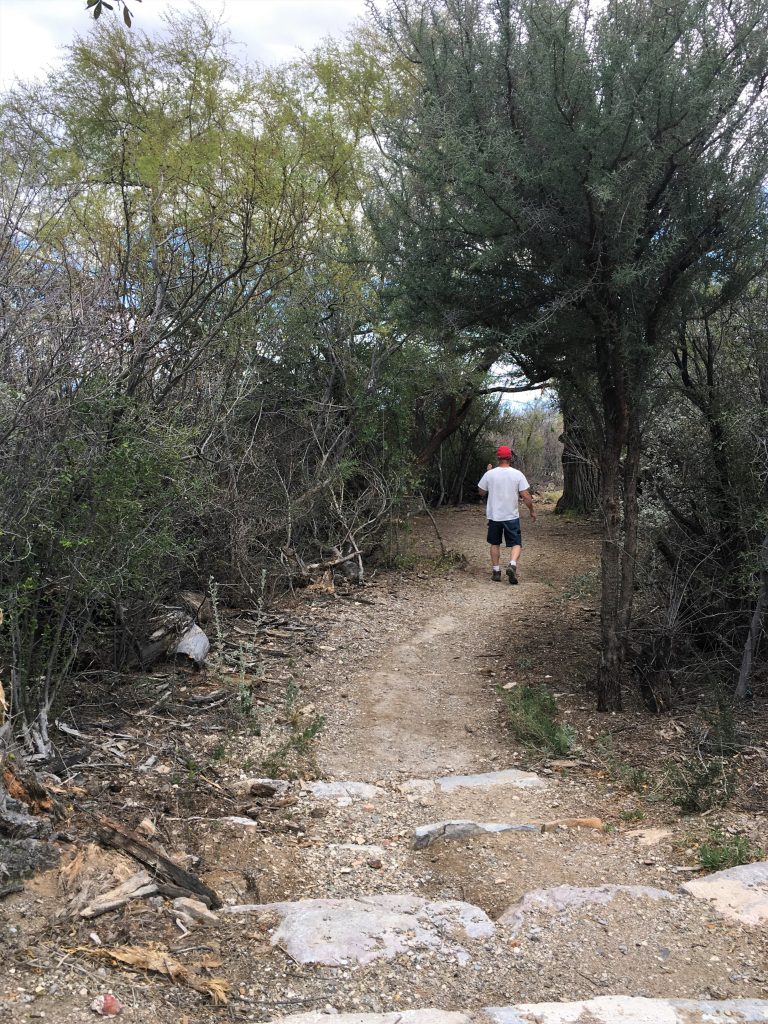
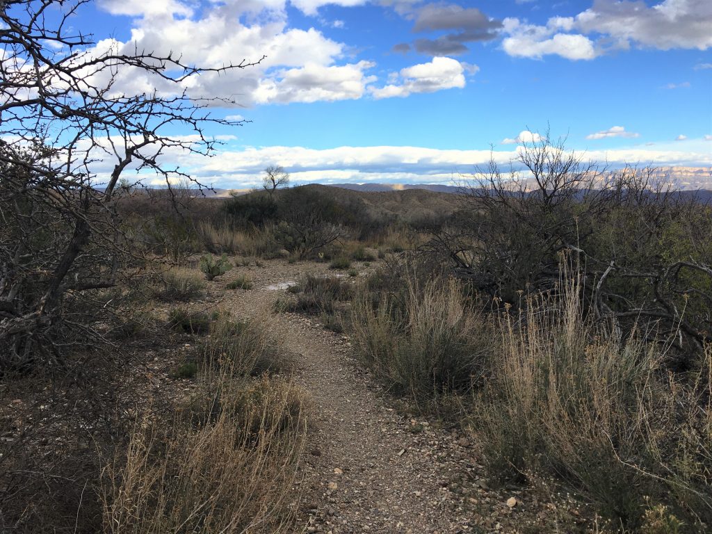
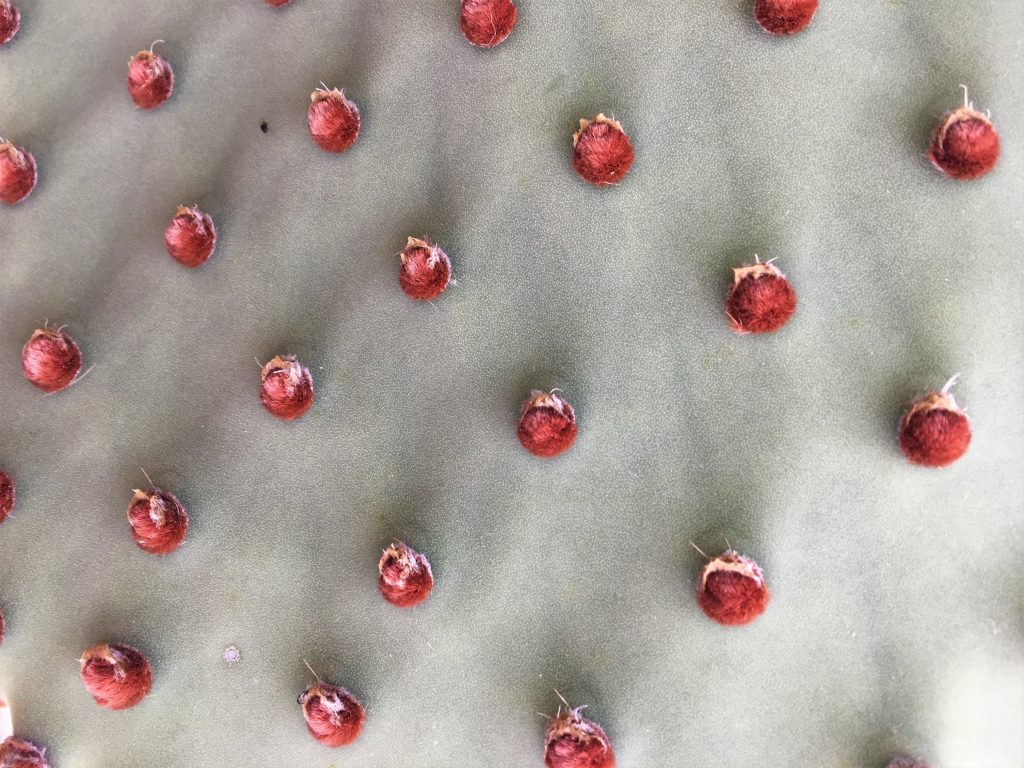
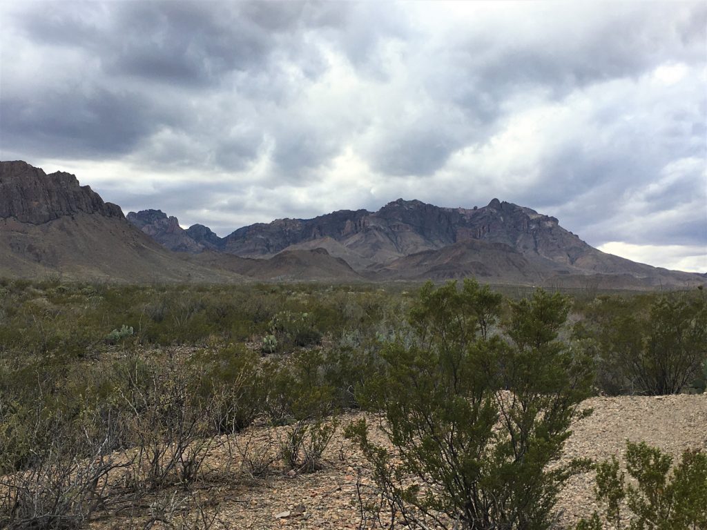
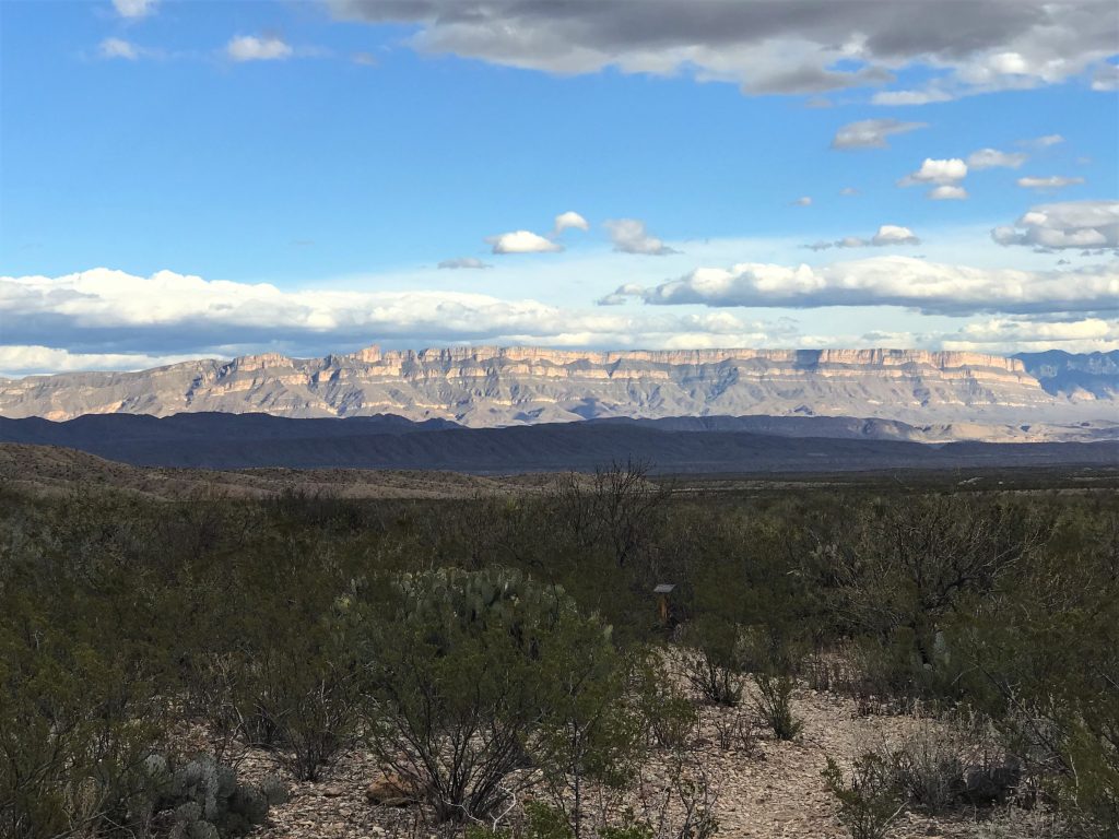
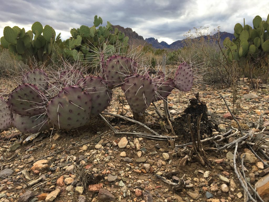
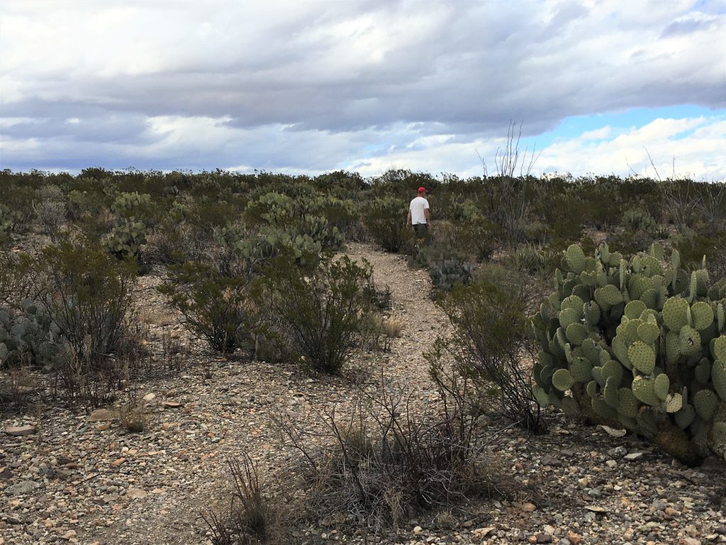
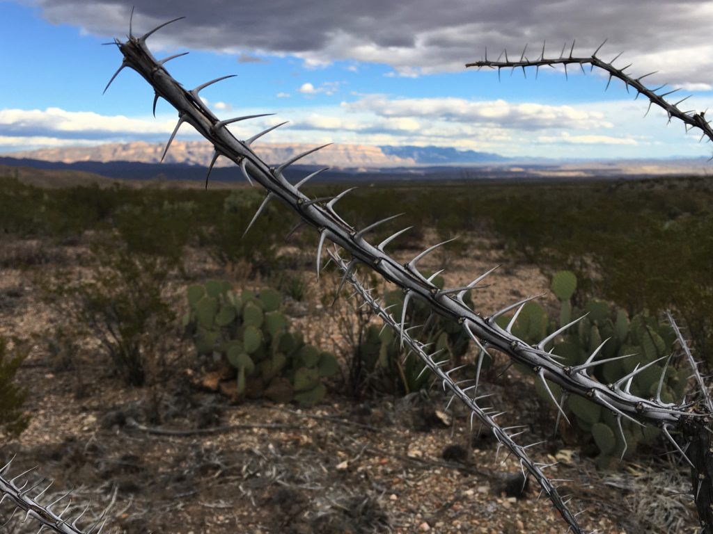
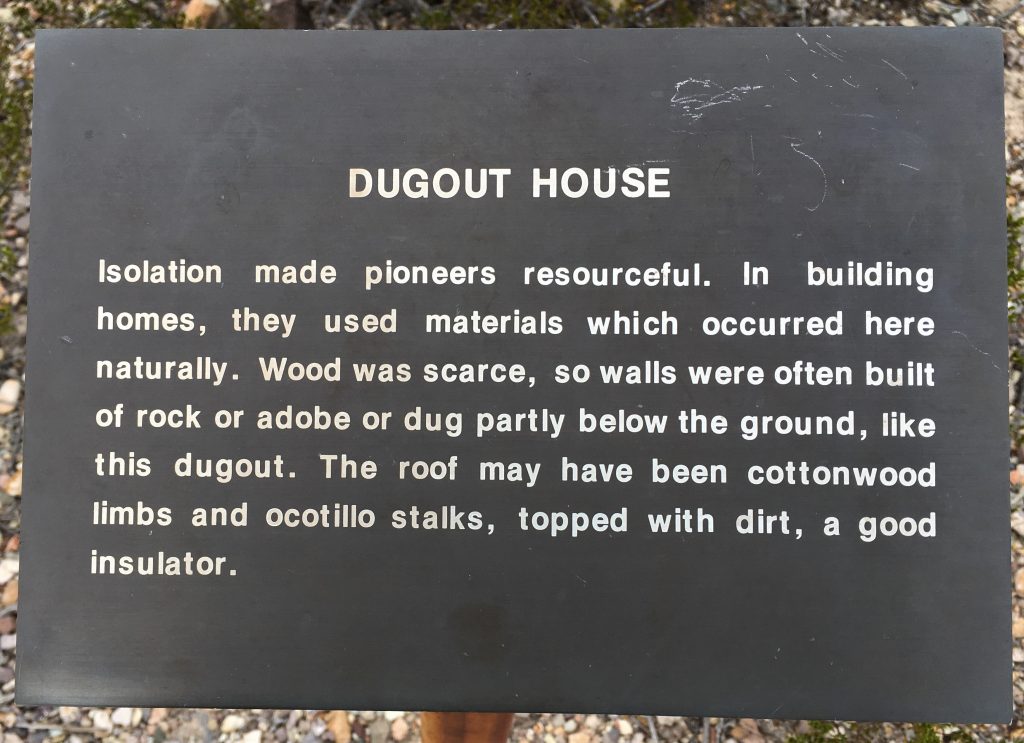
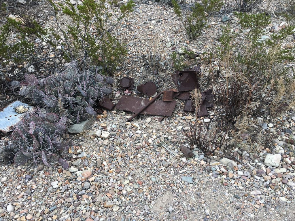
Our final stop for the day was a place called Dugout Wells. Not quite as exciting as the Balanced Rock trail, but interesting in its own way.
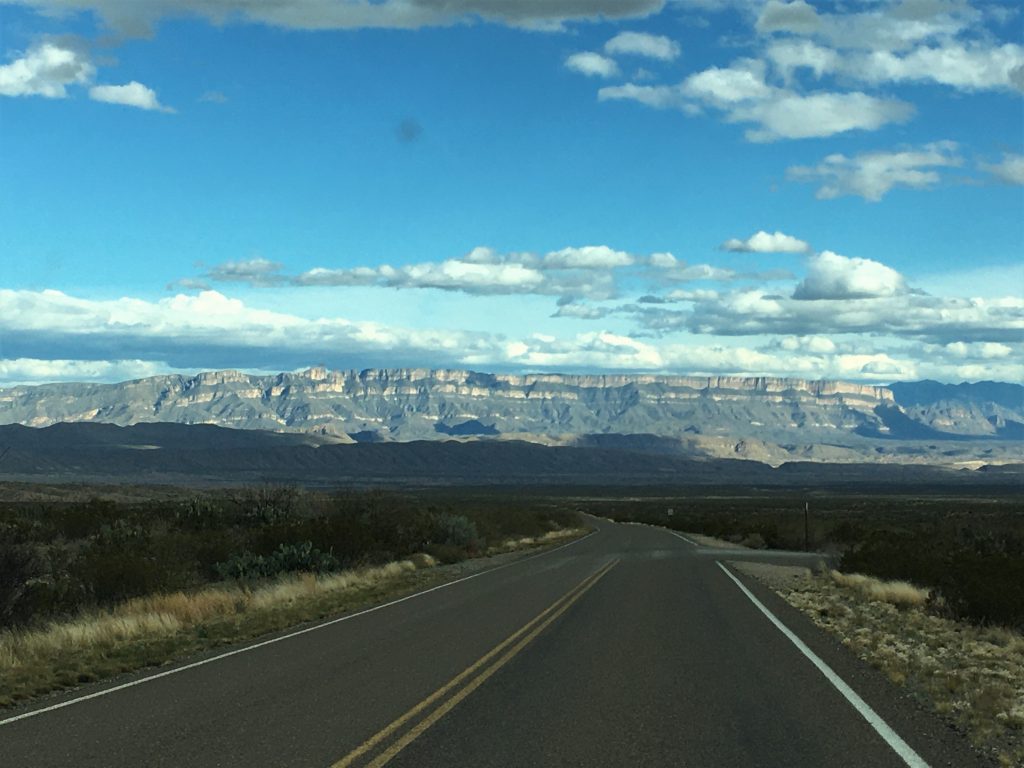


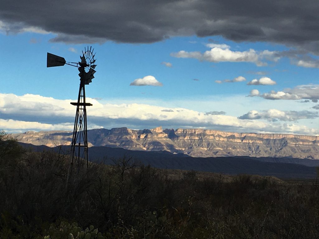
And what a sunset God created today!
