Lost Dutchman State Park, Apache Junction, Arizona
A generous man will himself be blessed, for he shares his food with the poor. ~ Proverbs 22:9
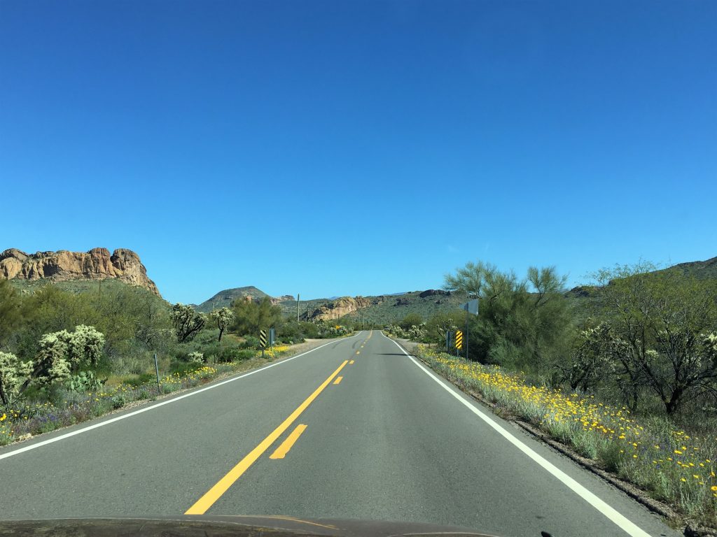
Today we drove to where Historic 88, aka Apache Trail, was closed. Remember that area from the other day? We walked out to the edge of the mountain? I know. That could be anywhere with us, right? Let’s see if I can give you more clues – – it was chilly, and cloudy, and we found some blooming hedgehog cacti and said the views were so phenomenal that we’d be back on a sunny day?
Well, today’s that sunny day!
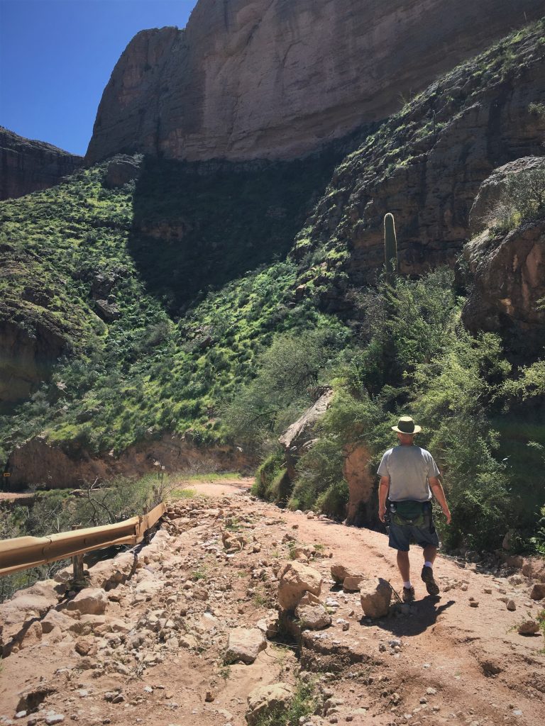
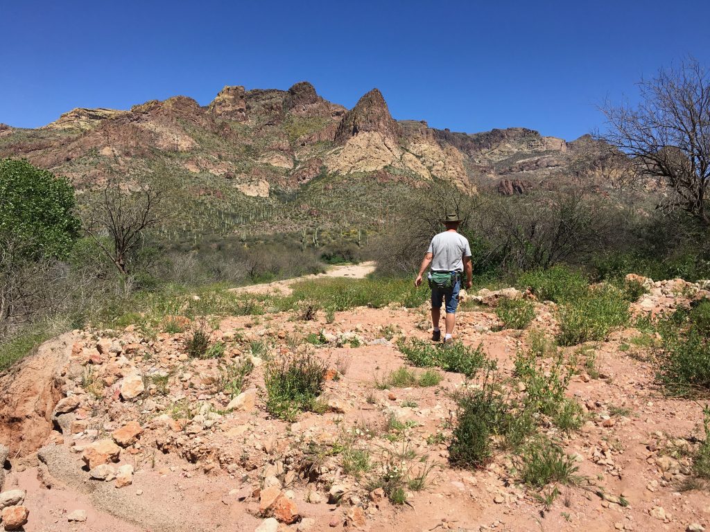
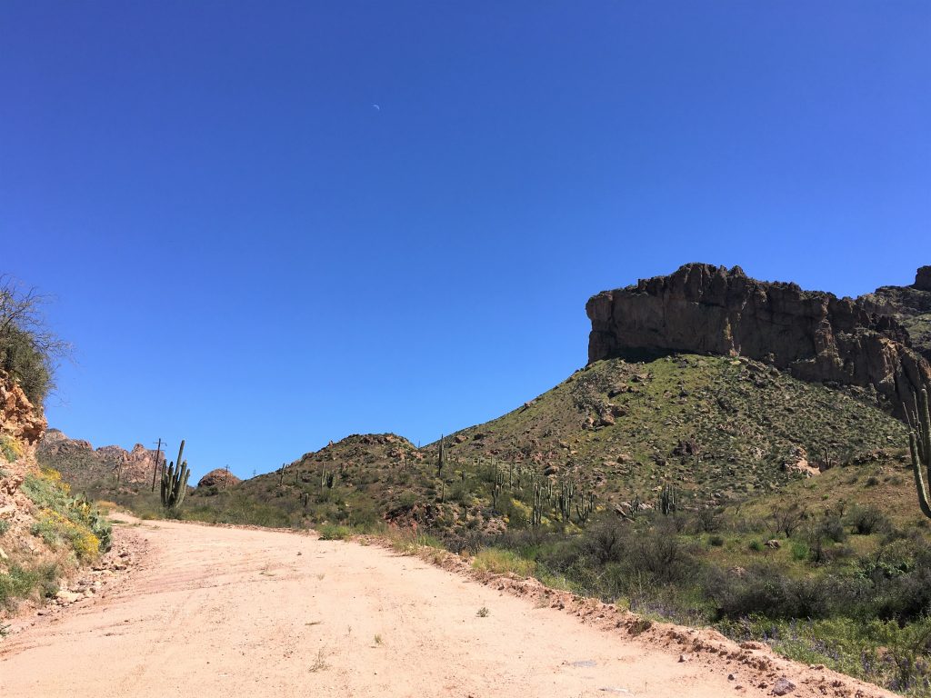
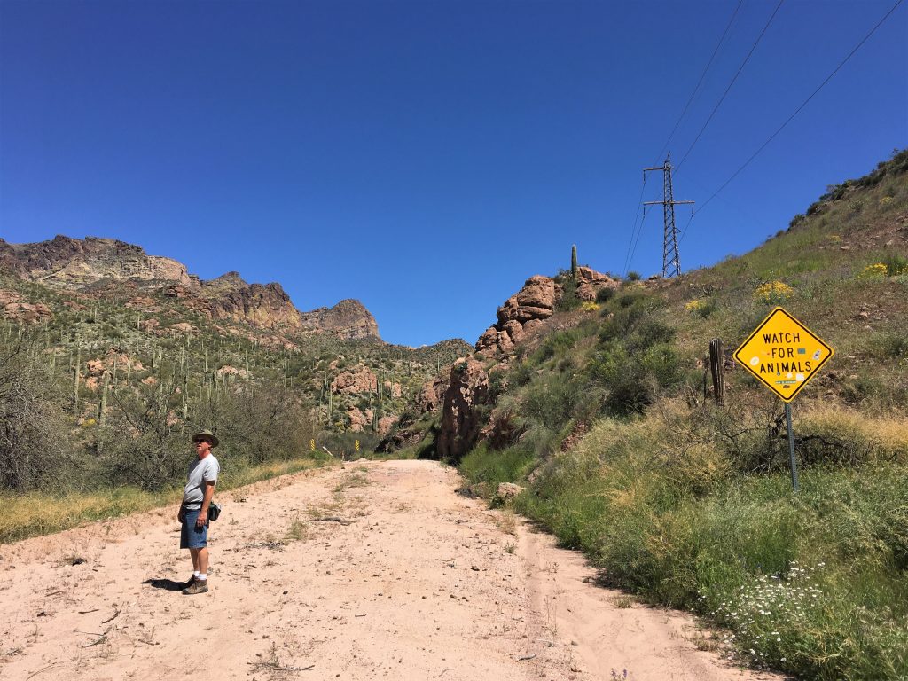
After walking around the parking area, and eating lunch on a barricade, we decided to walk down the road for a while and see if we could find the Fish Creek wash out area. We knew we’d not get to the recent rock slide because it was 20 miles away, but we thought it should be a nice and scenic walk and some different views than the Superstition Mountains we all have come to love. 😊
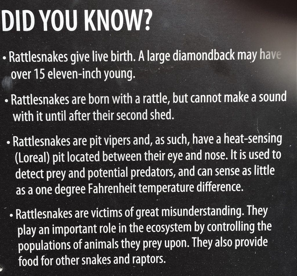
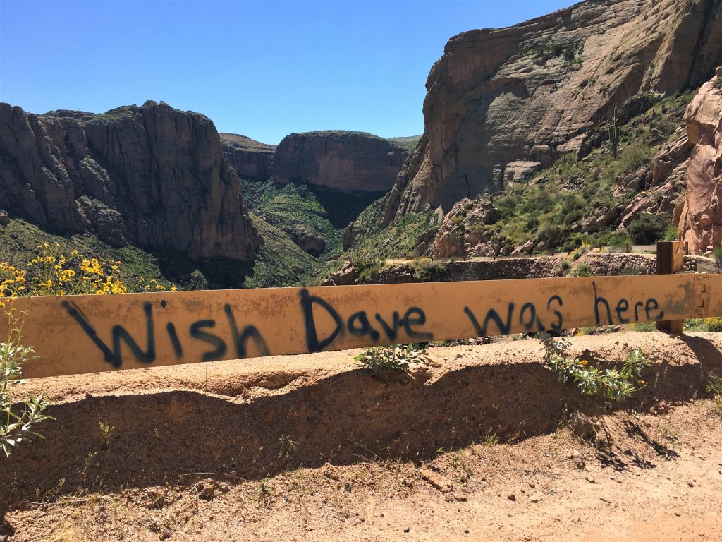
Until I took this picture. : )
Wish I’d known that. I would’ve taken their picture a long time ago. : )
but sometimes the information within the picture is too much for the blog.
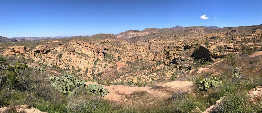
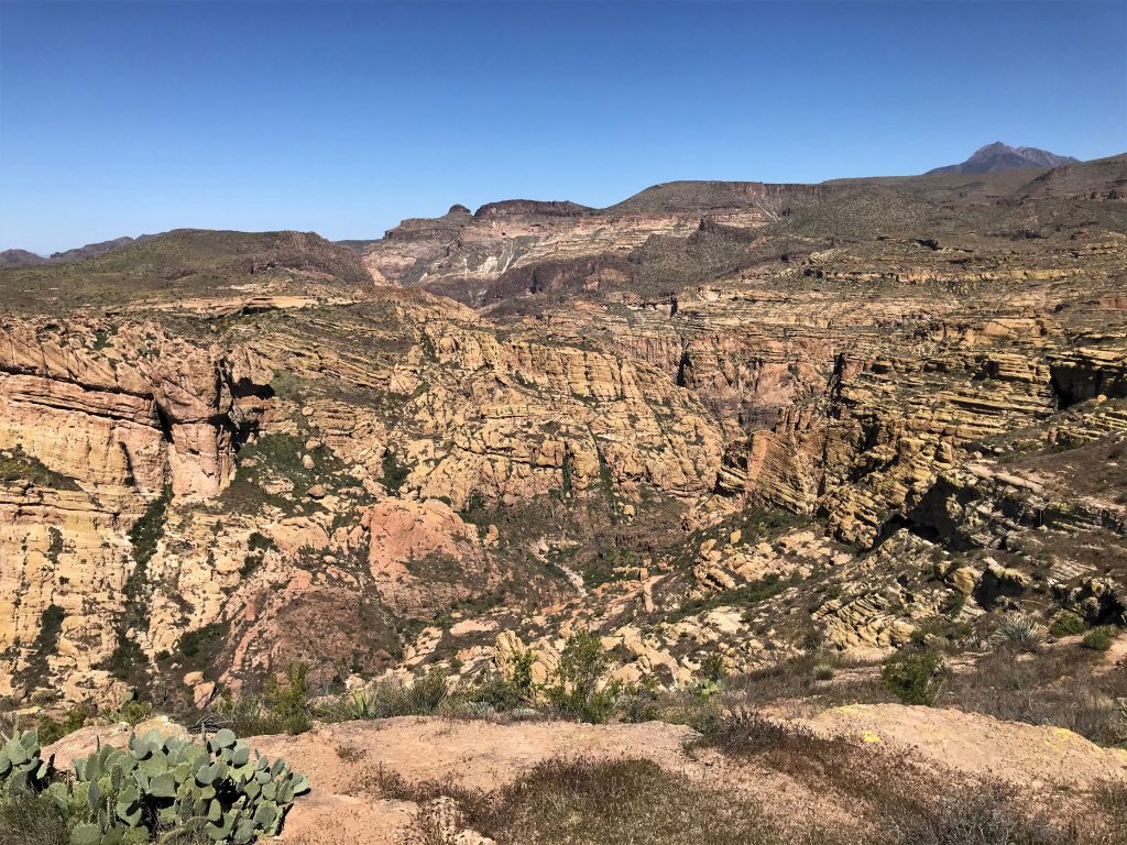
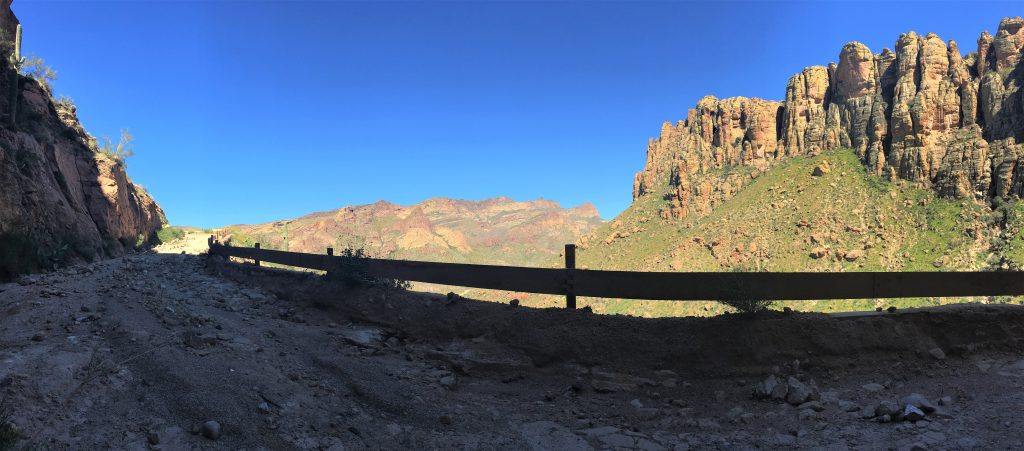
Here’s the panoramic!
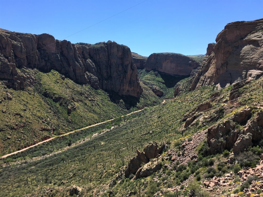
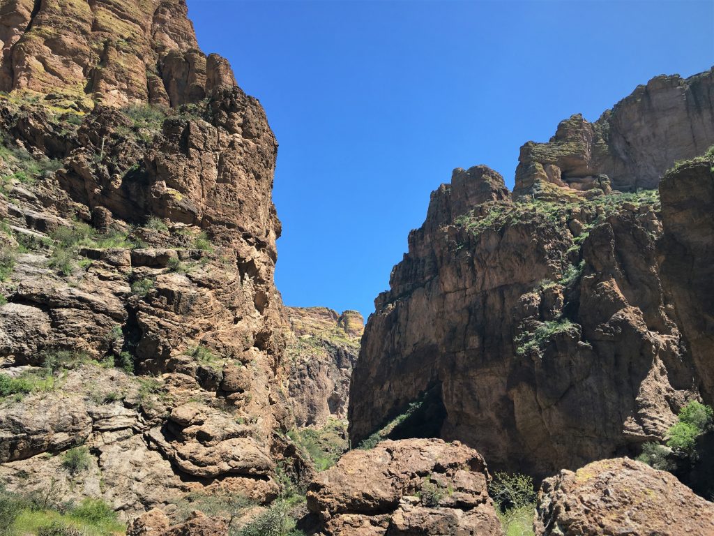
Still doesn’t show the majesty!
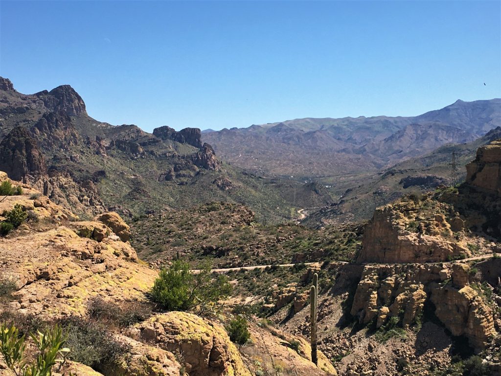
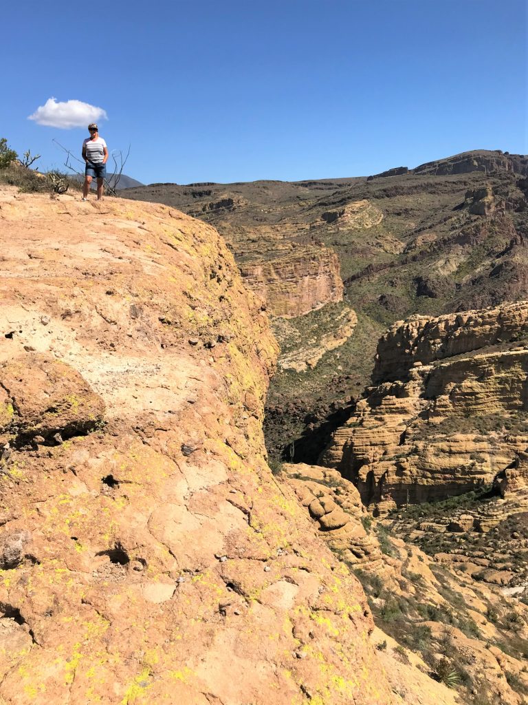
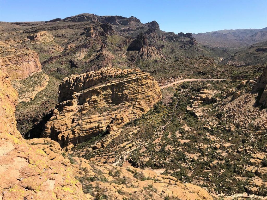
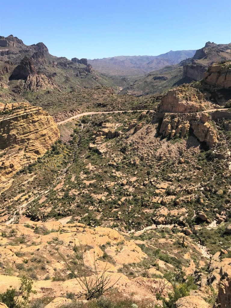
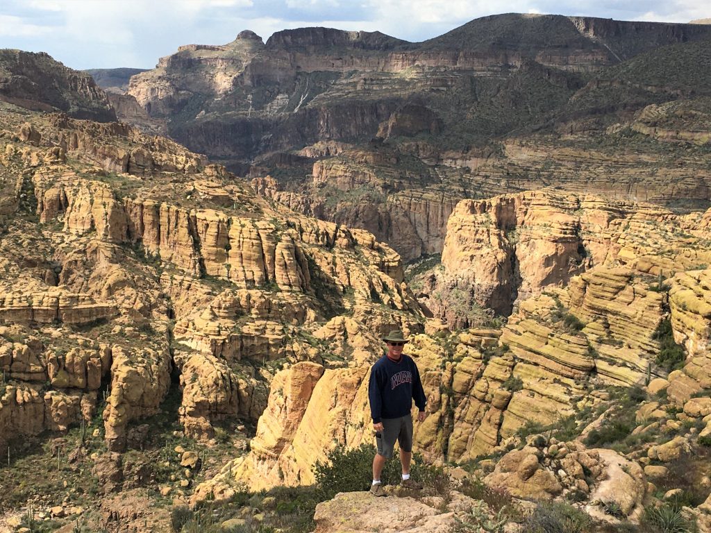
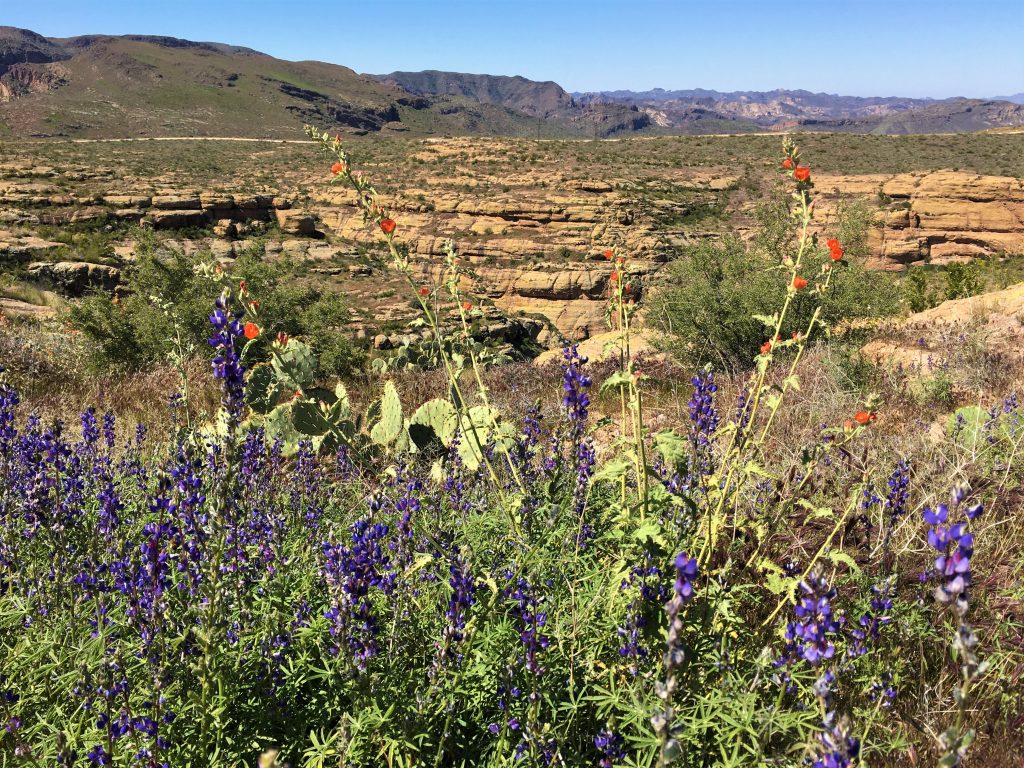
This is a picture from the other day. 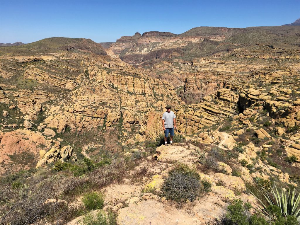
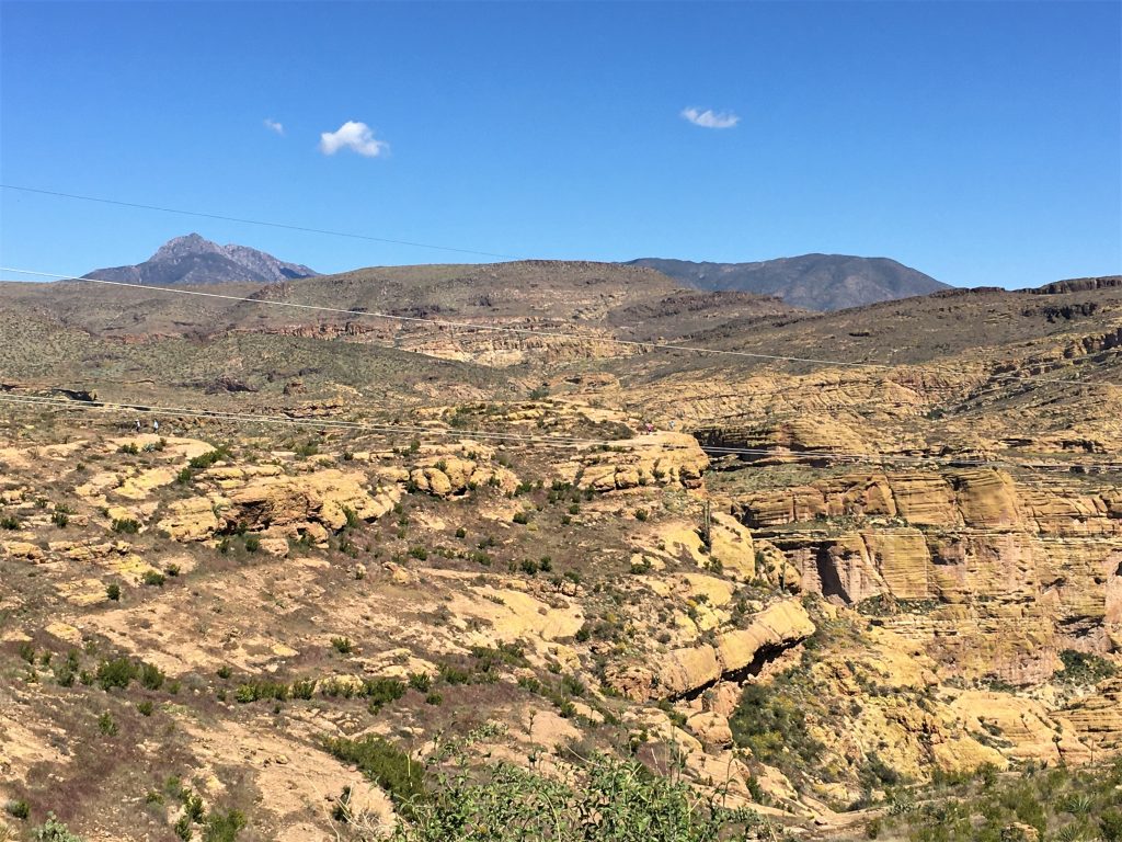
This is today’s picture!
Looks better, doesn’t it! : )
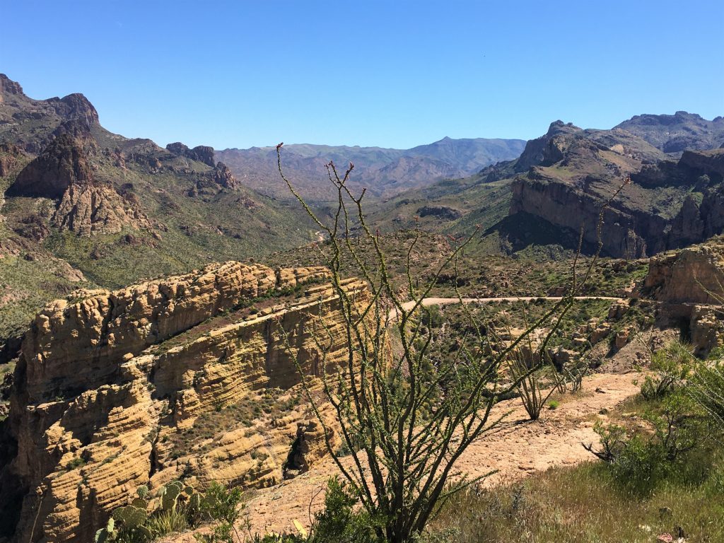
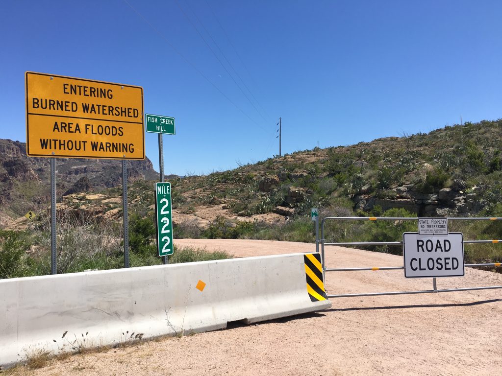
We sat on that barricade.
And then we walked around it.
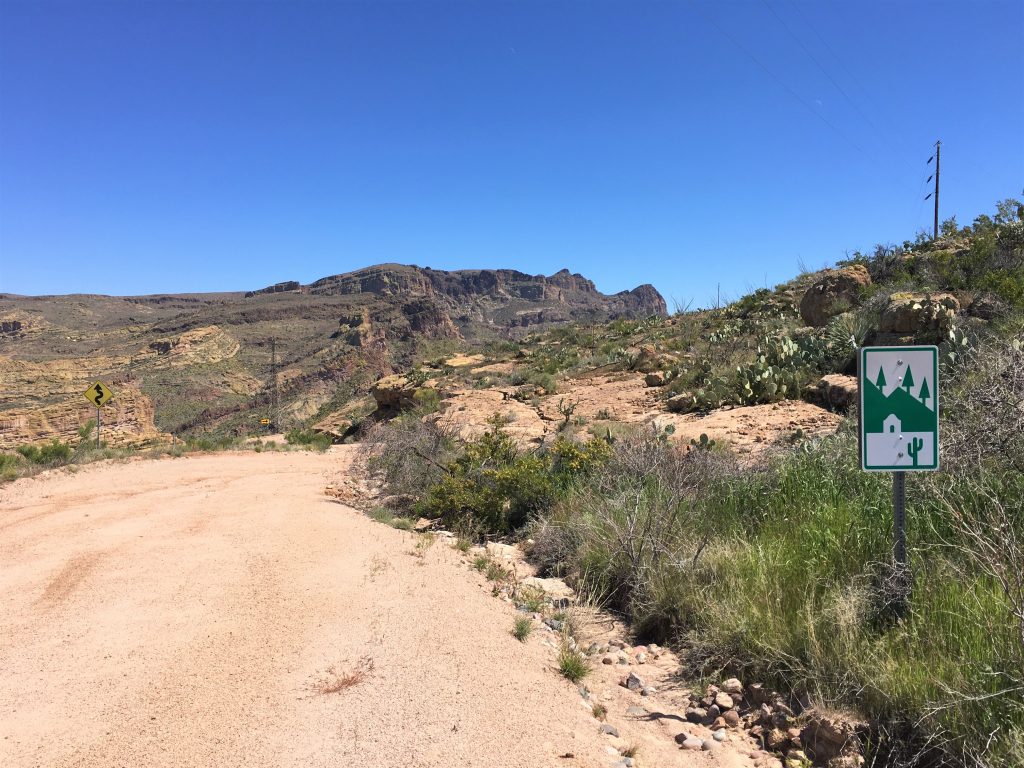
aka The Apache Trail.
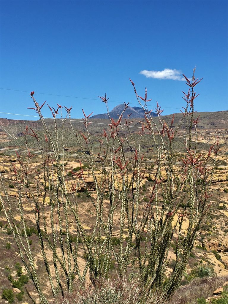
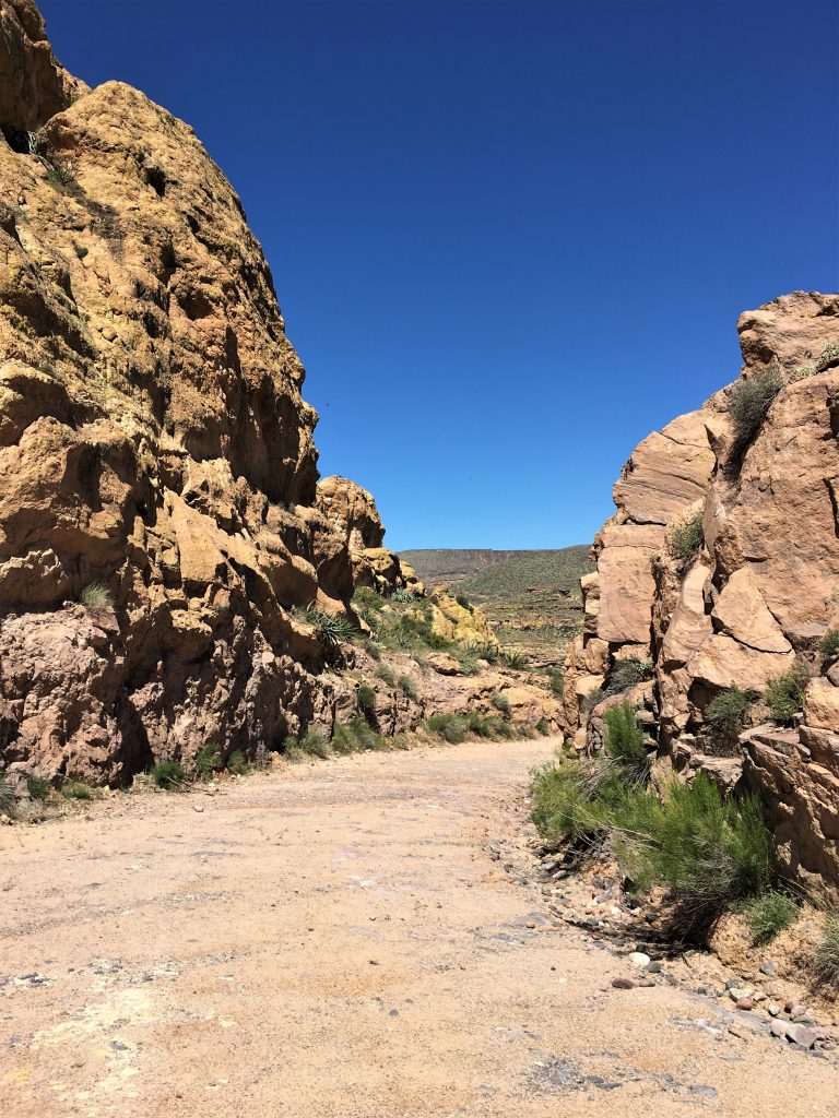
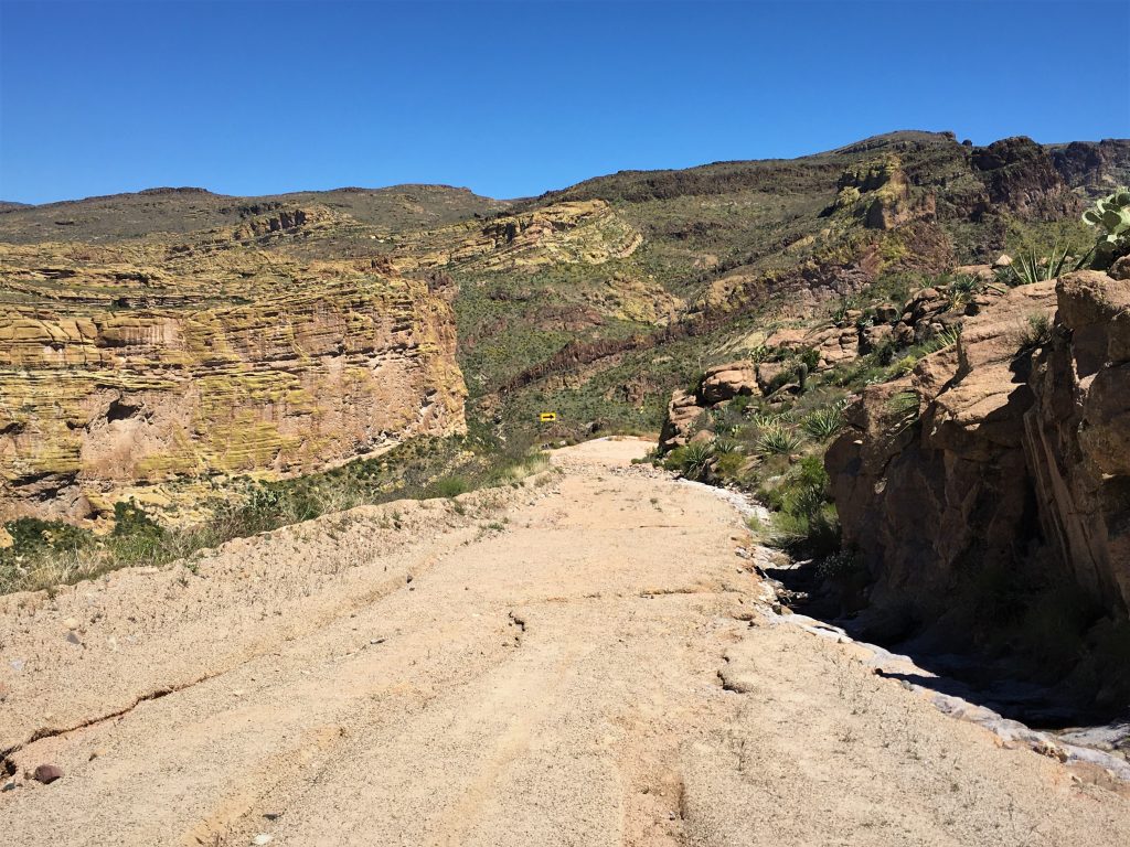
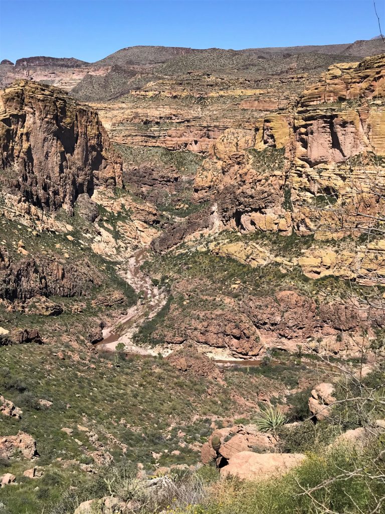
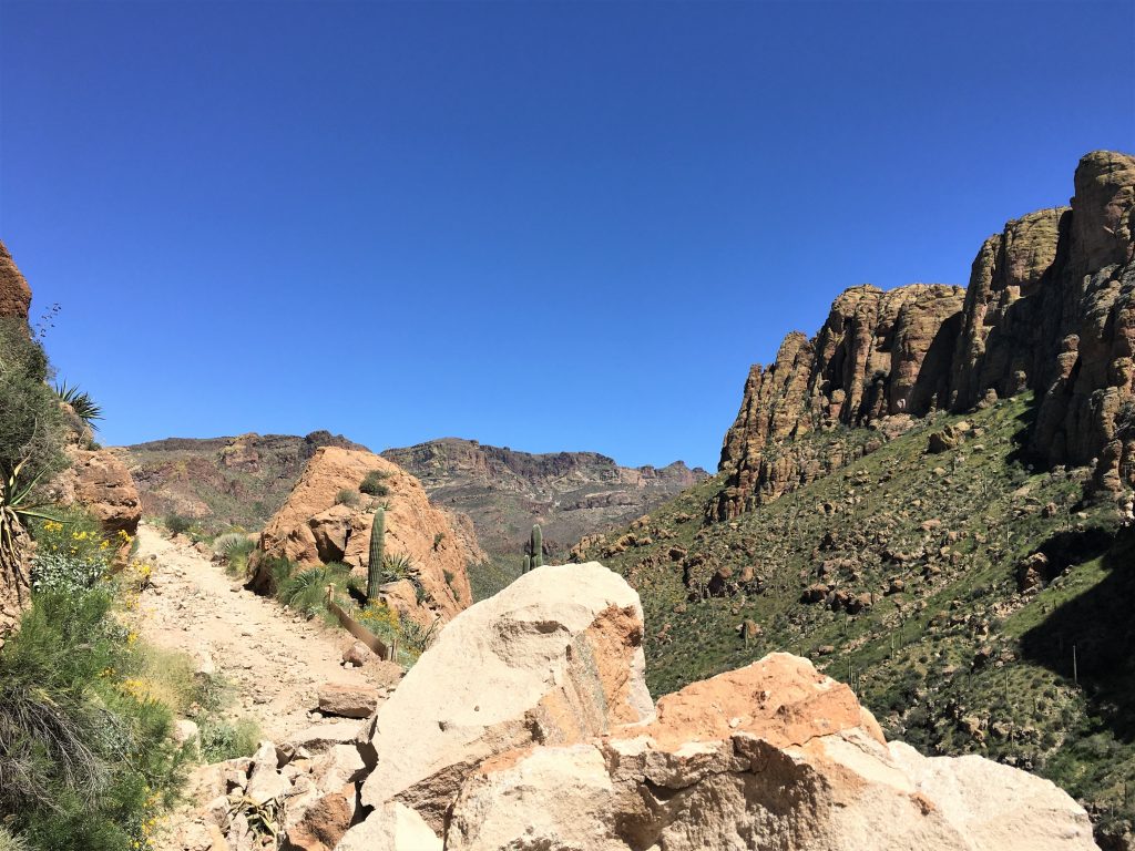
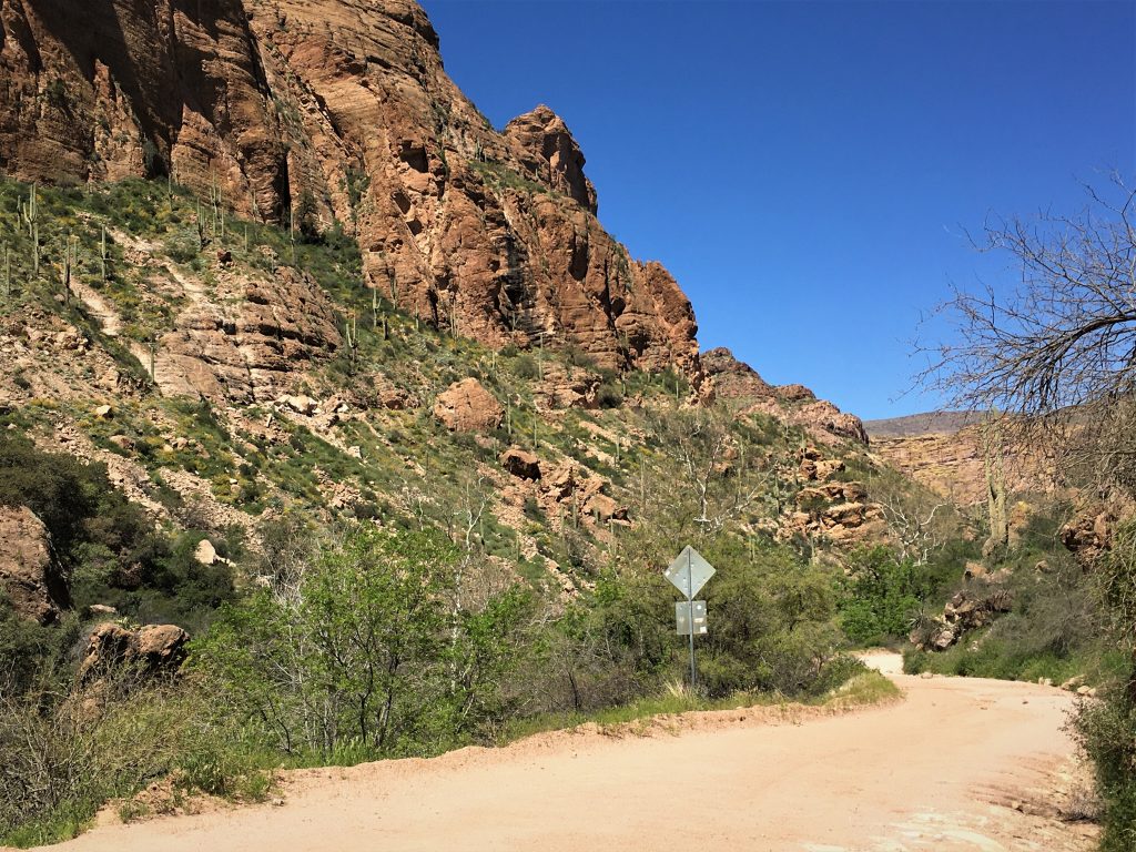
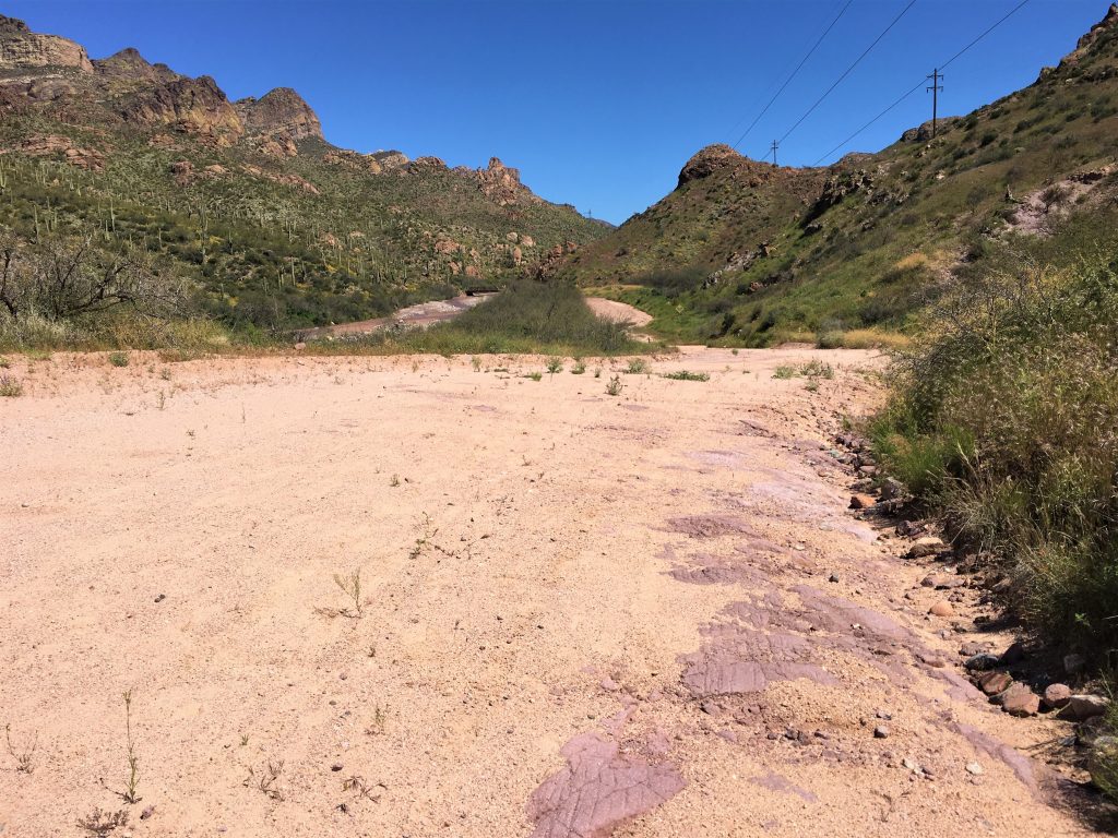
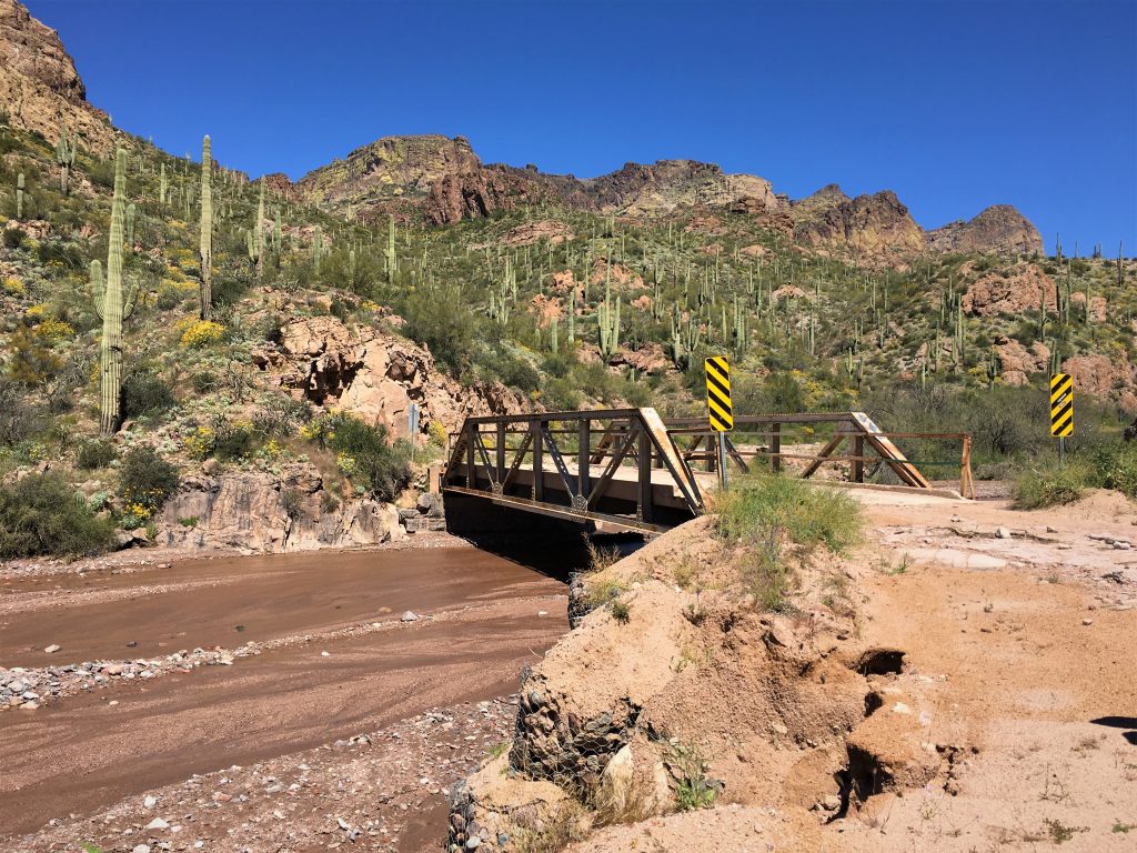
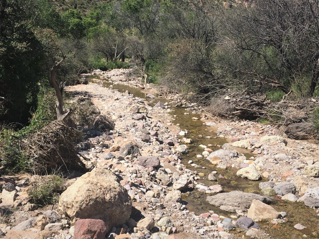
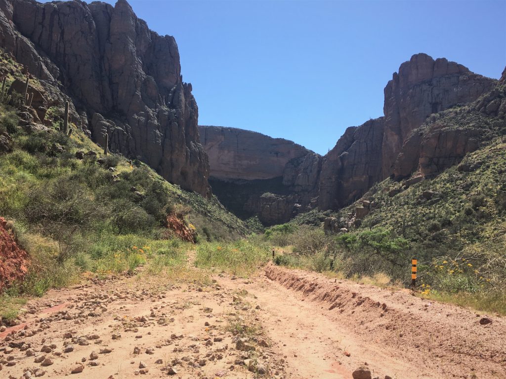
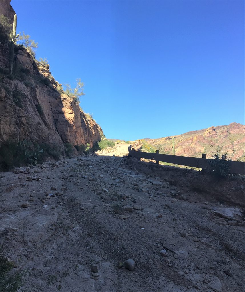
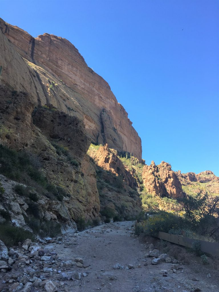
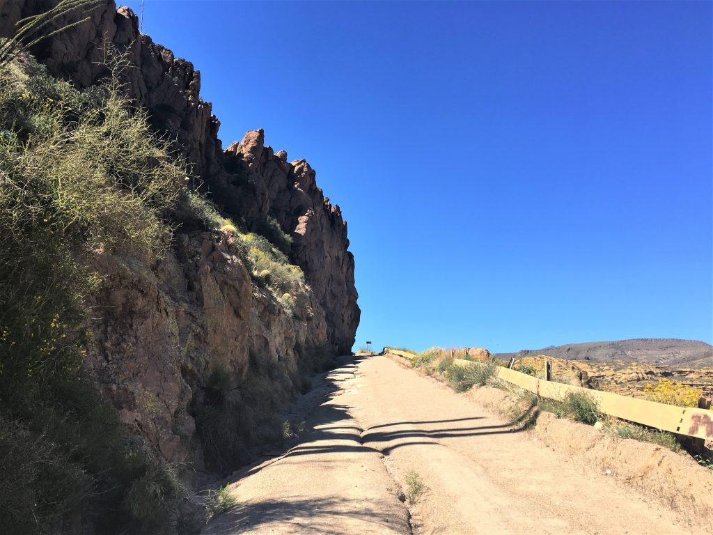
We didn’t get far down the road before we came to a wash out area, and then another, and another, and …..
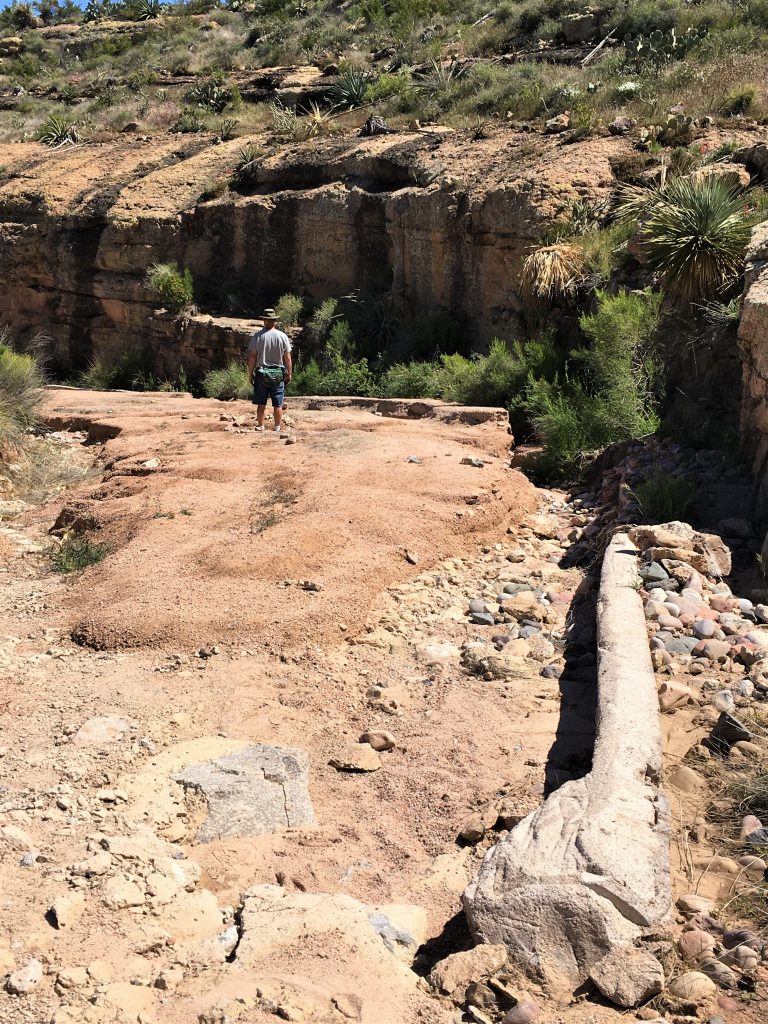
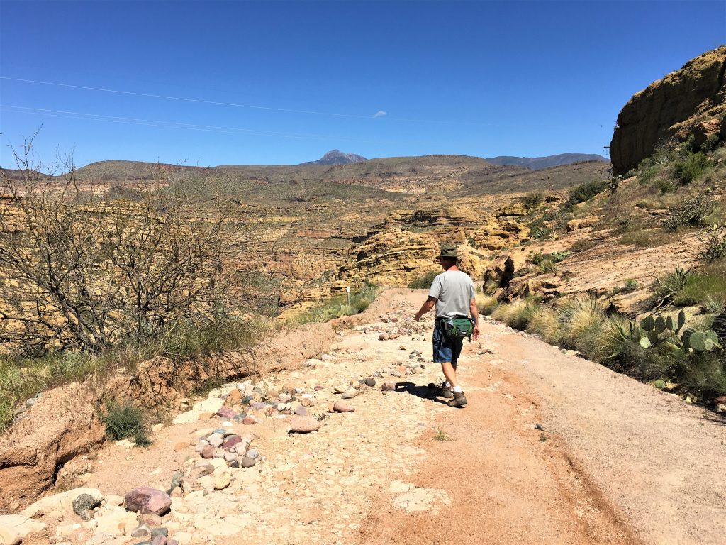
Occasionally, it was okay, but much of it was not.
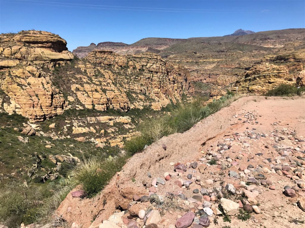
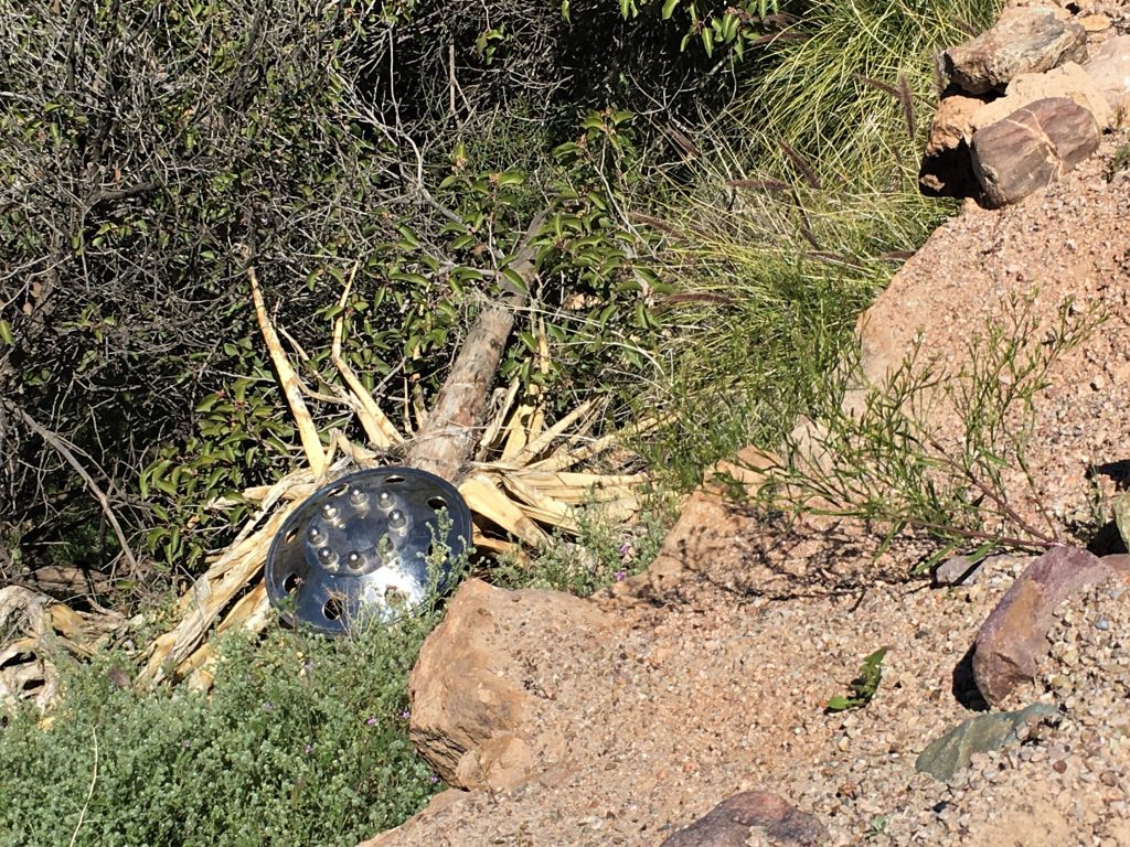
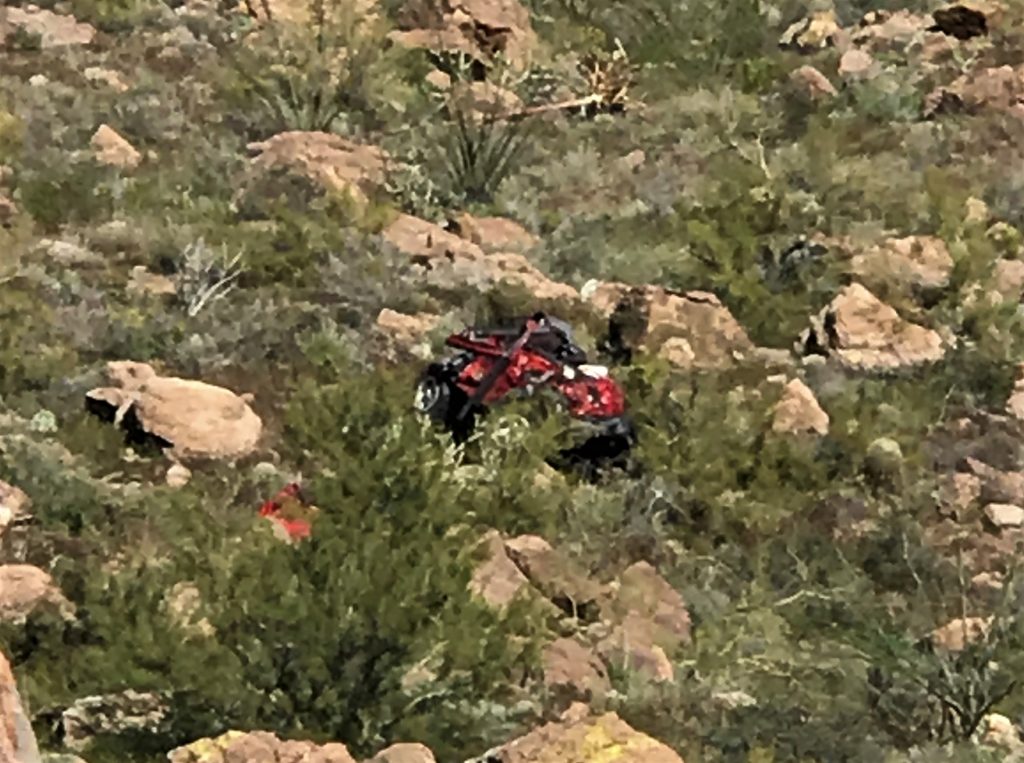
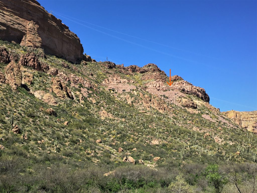
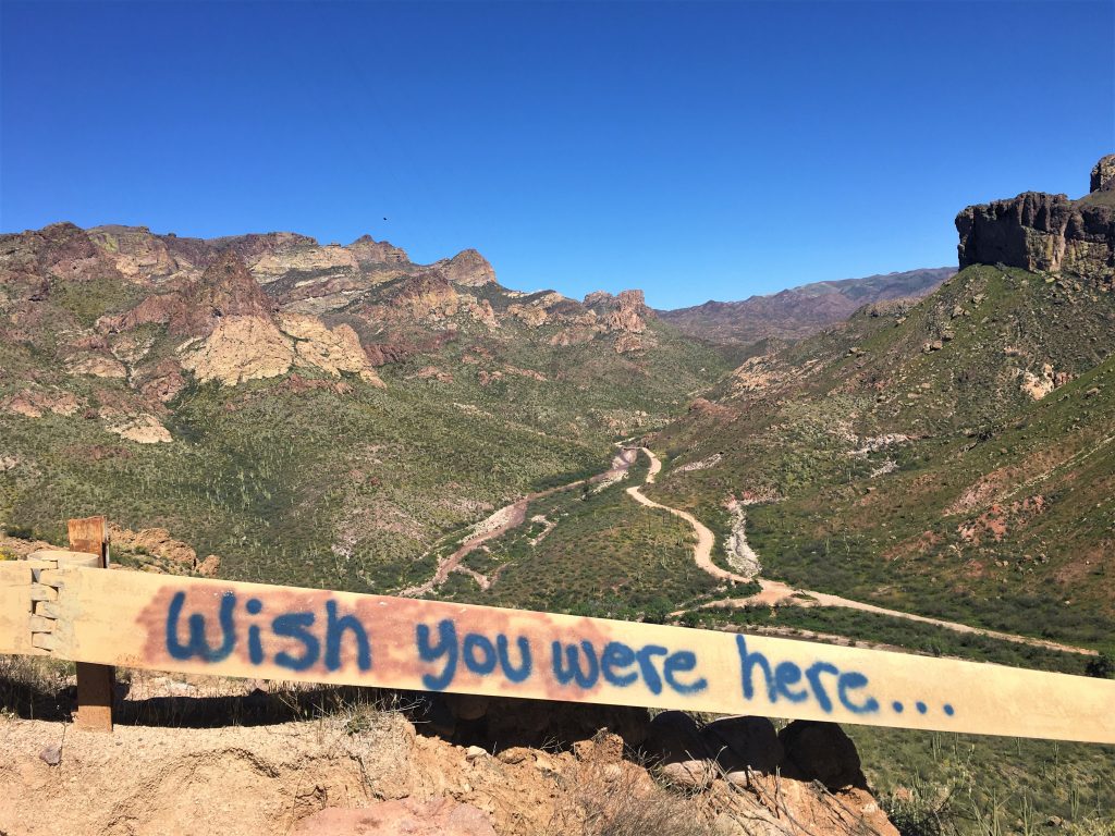
It’s waaay down the hill where we could barely see it.
It’s pretty new too. : (
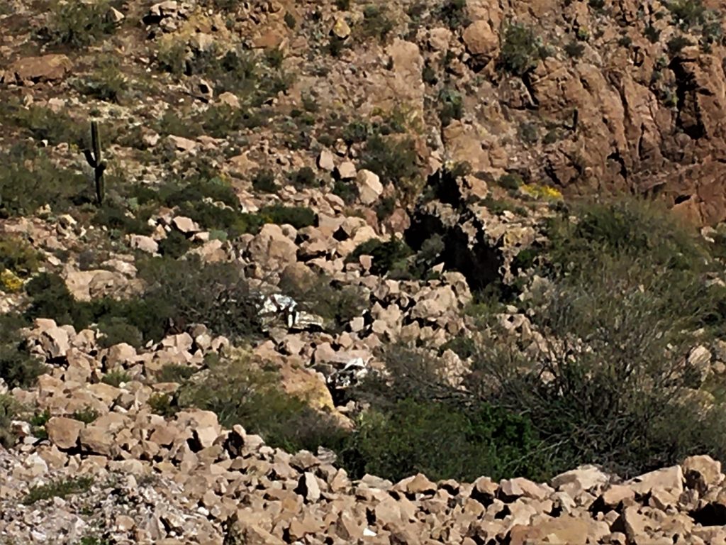
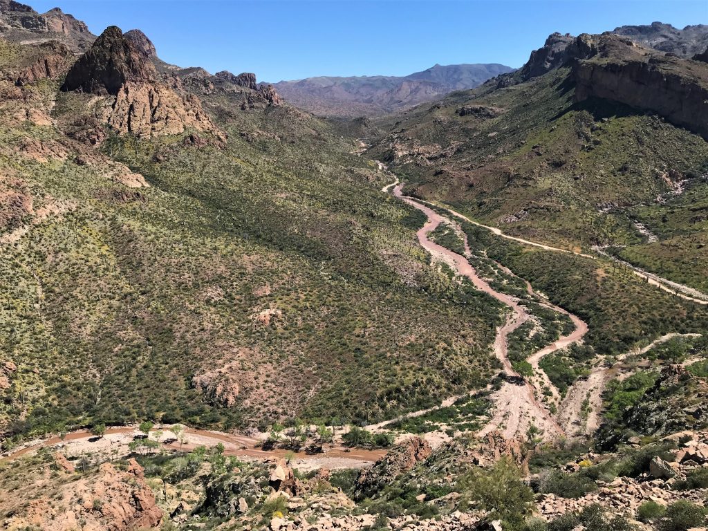
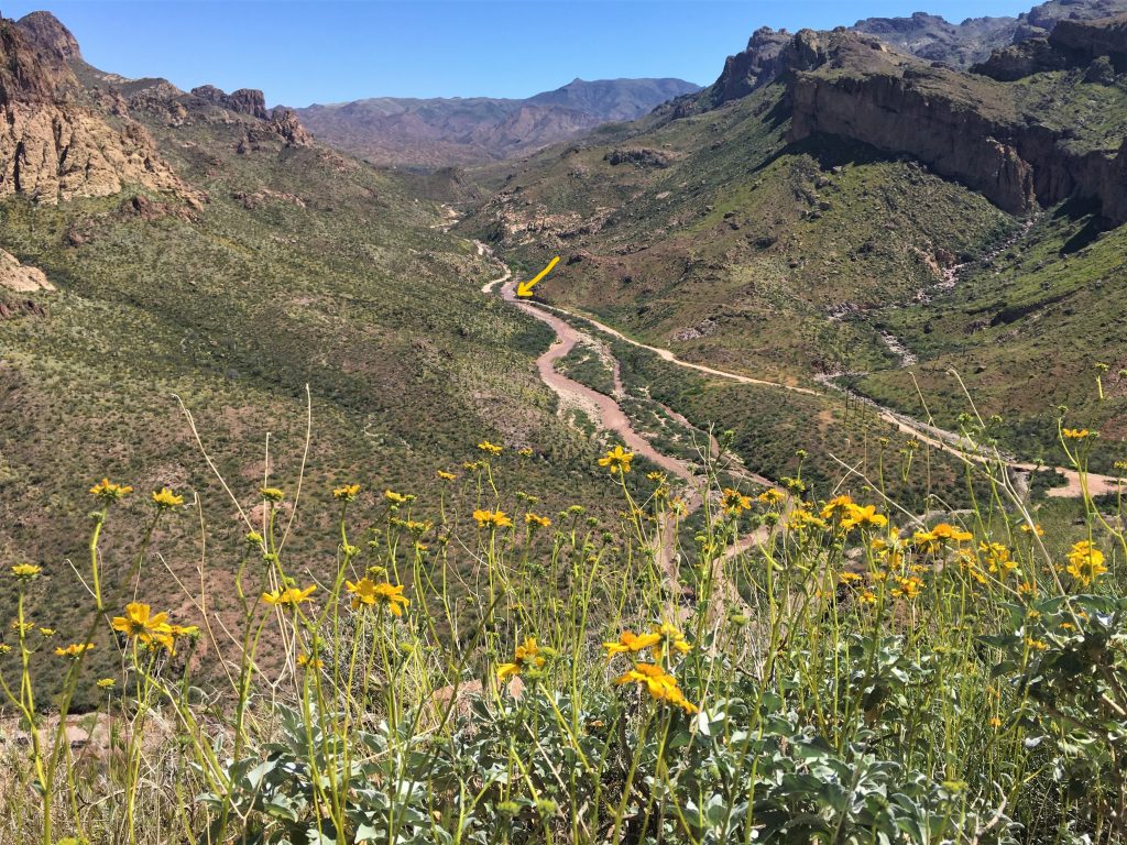
It’s about 2 1/2 miles away via the road.
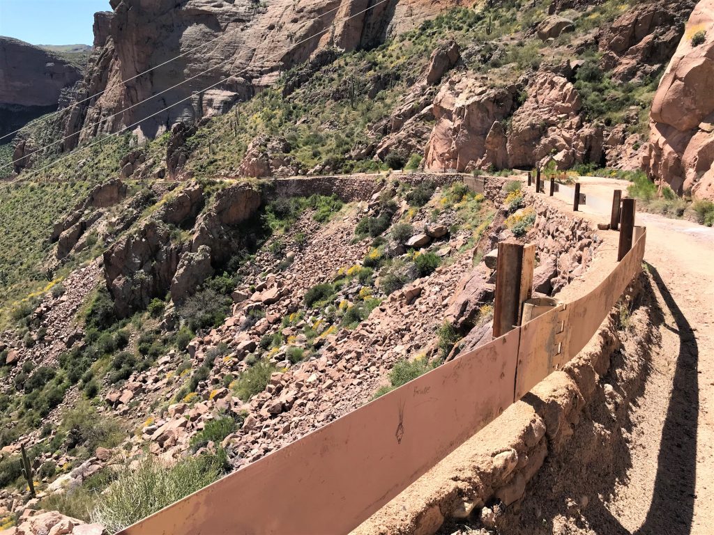
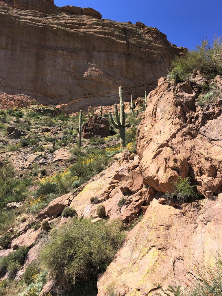
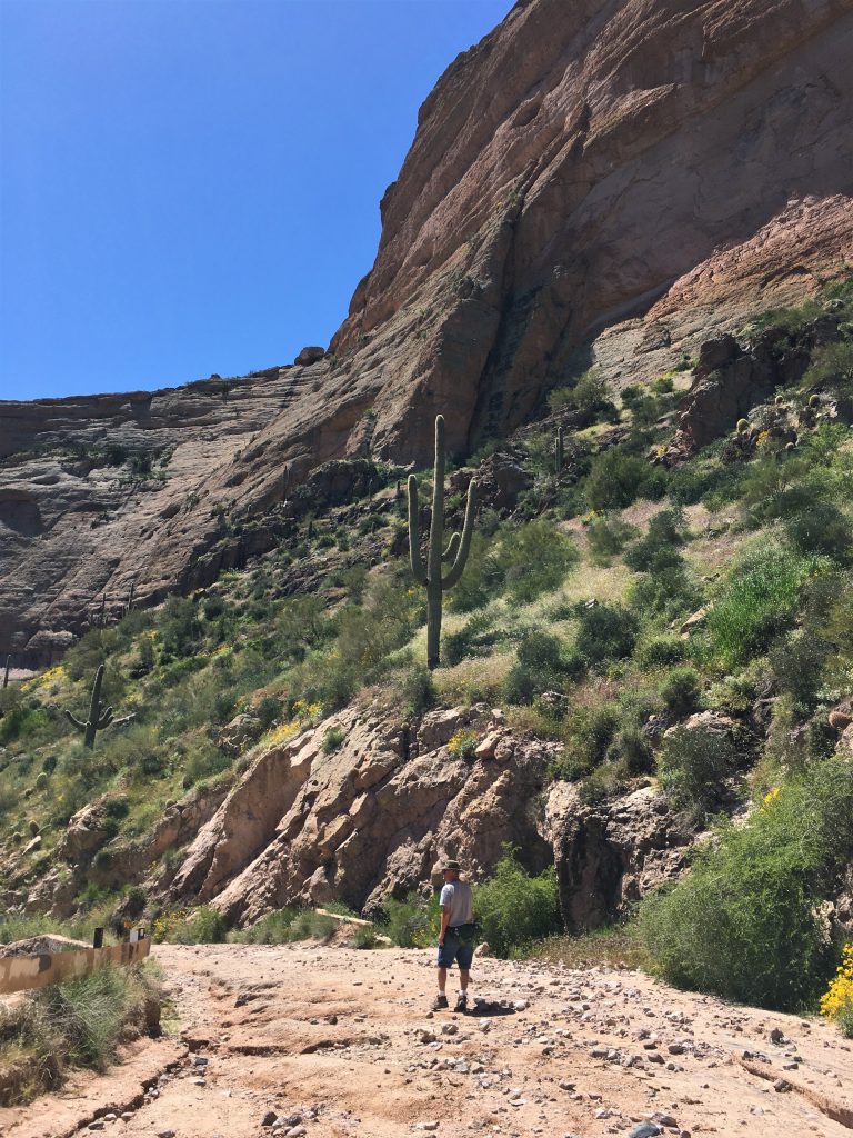
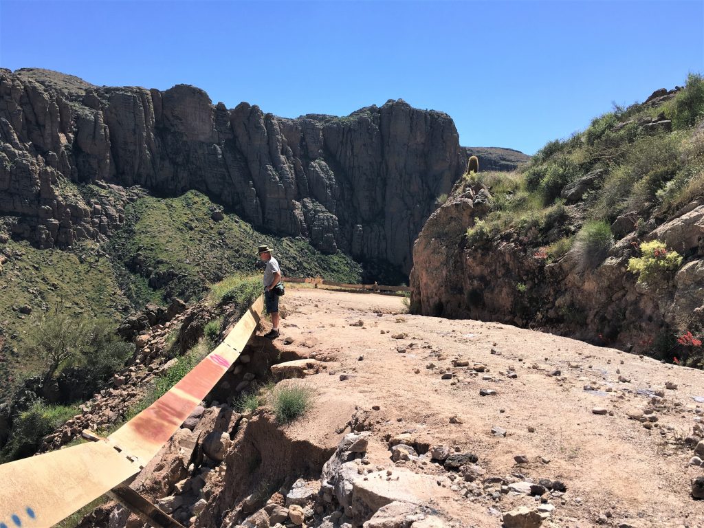
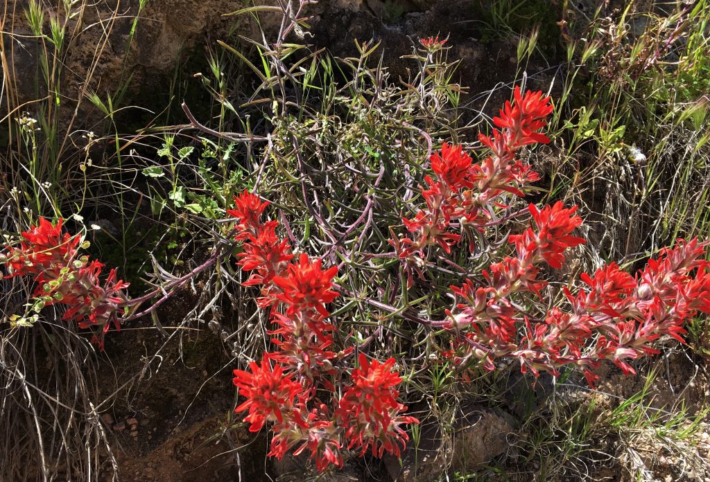
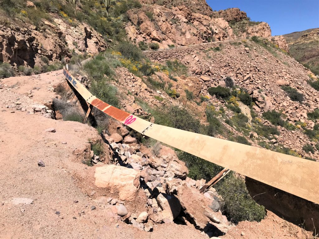
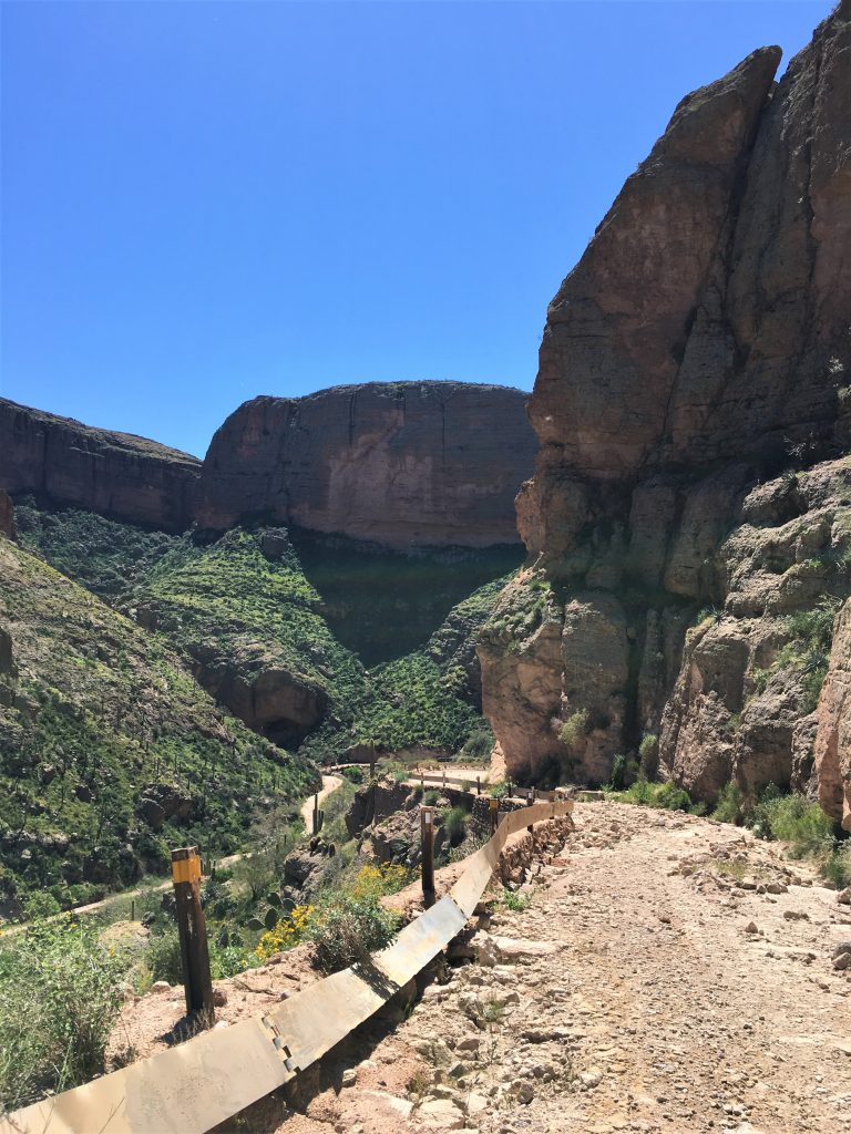
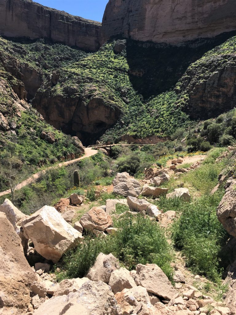
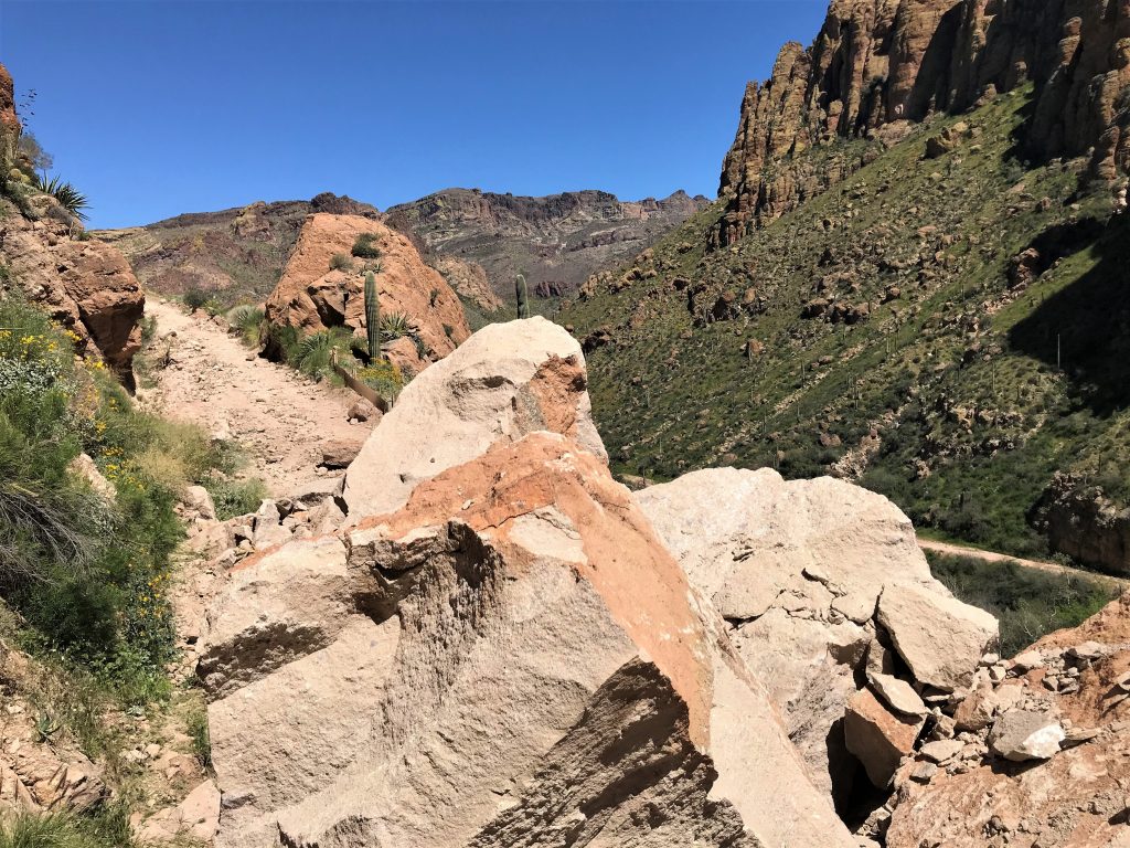
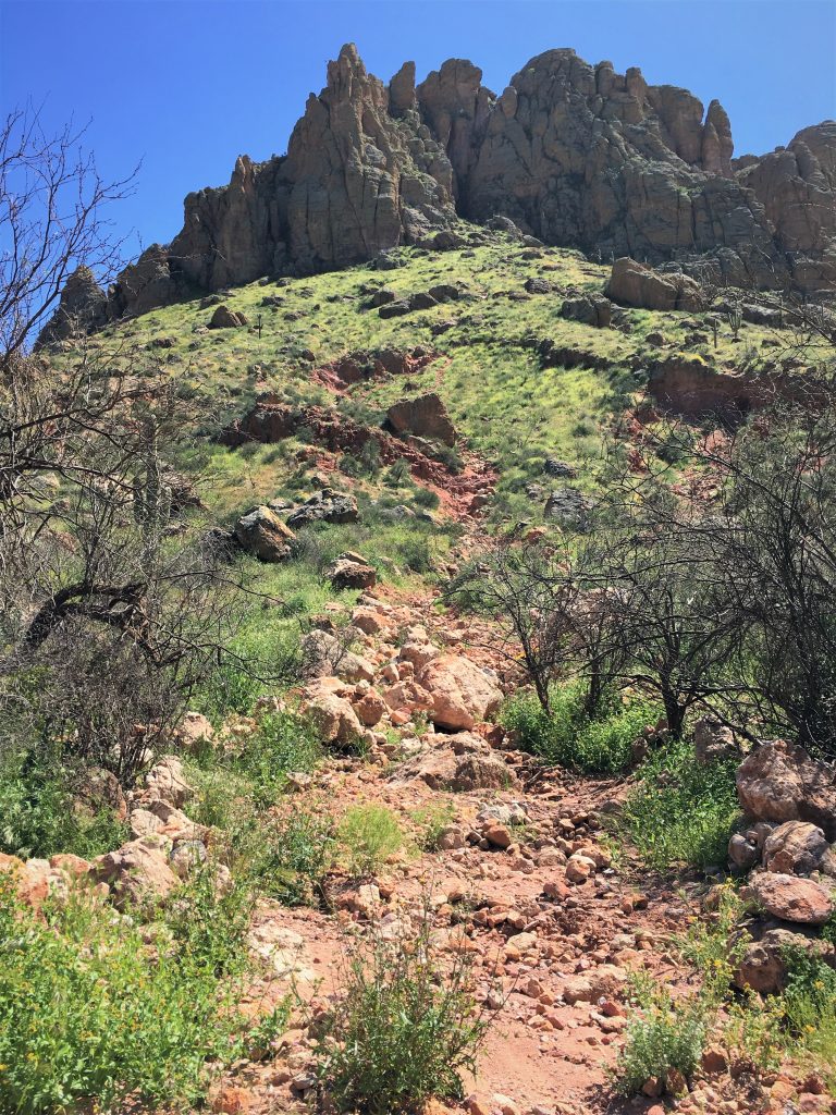
Basically, the entire 2 ½ miles we walked isn’t even suitable for a Jeep, AND we found another rock slide.
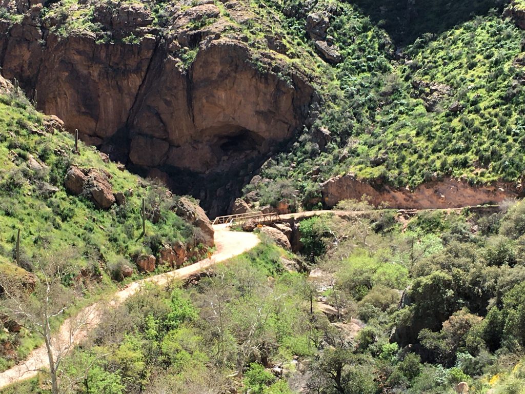
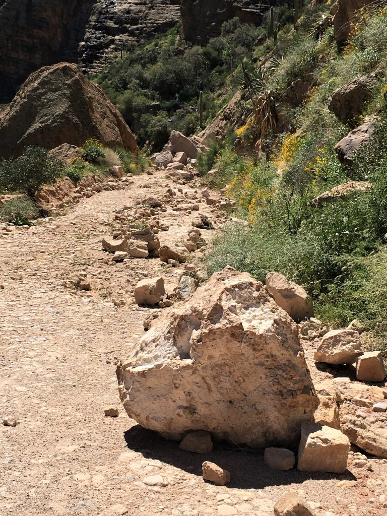
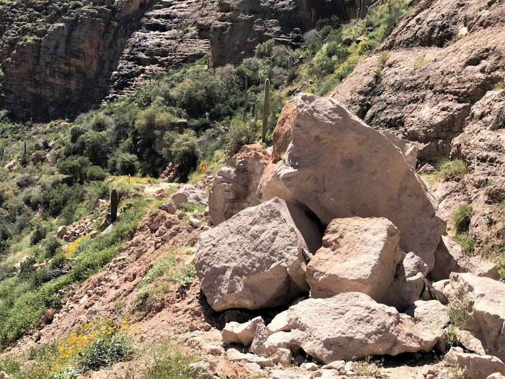
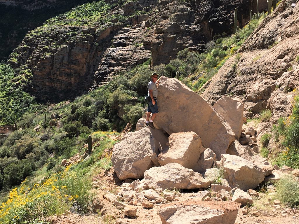
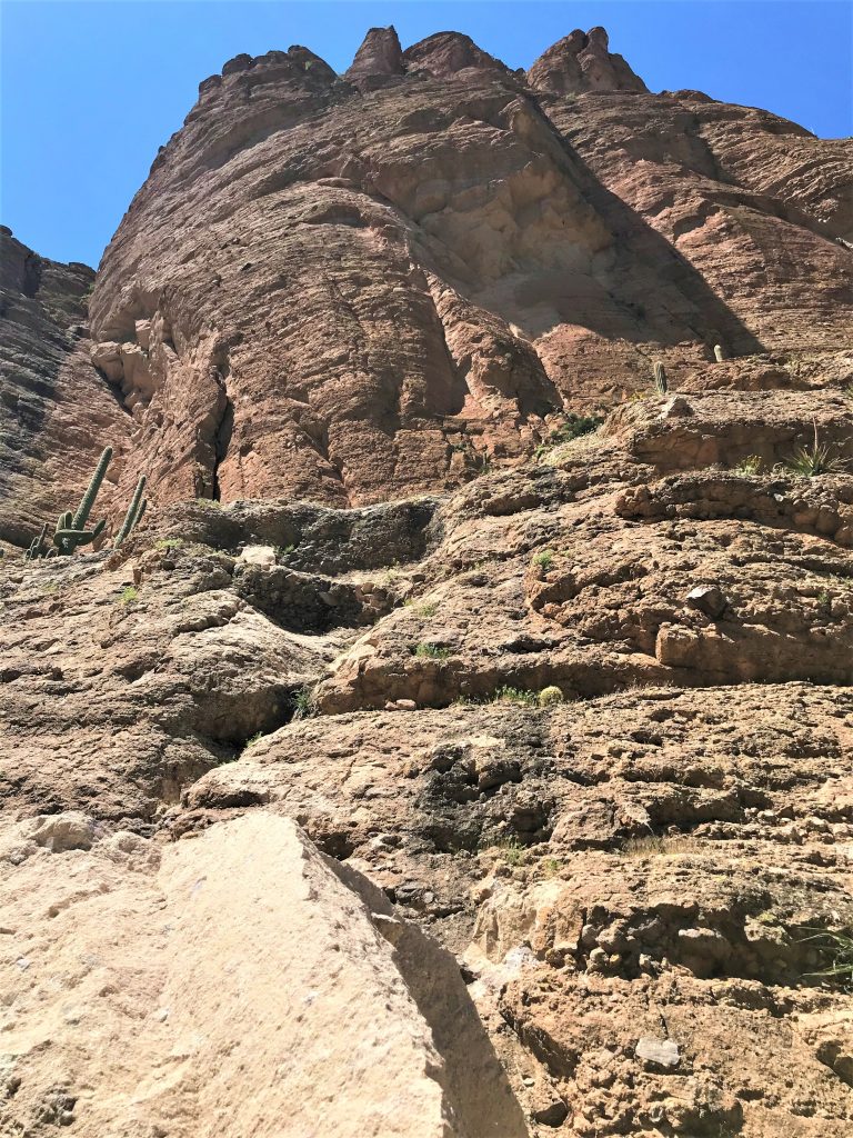
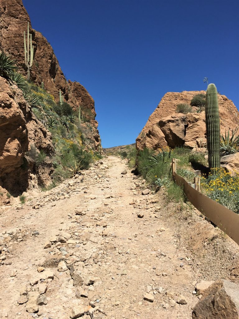
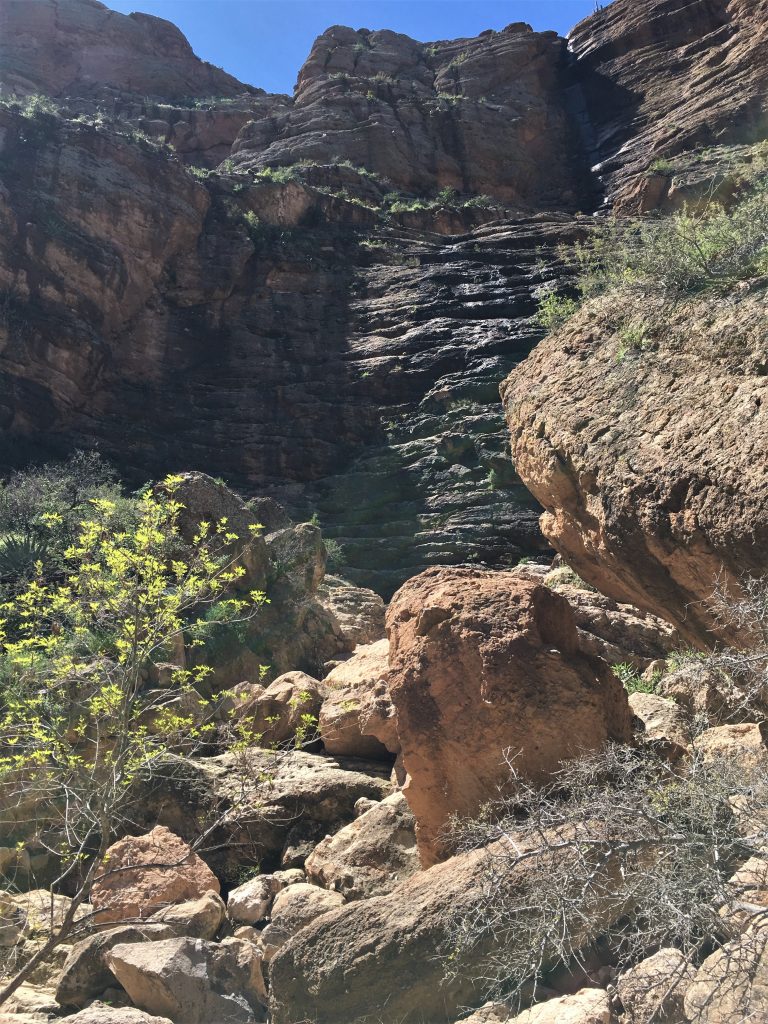
Still not sure how this was ever a usuable road.
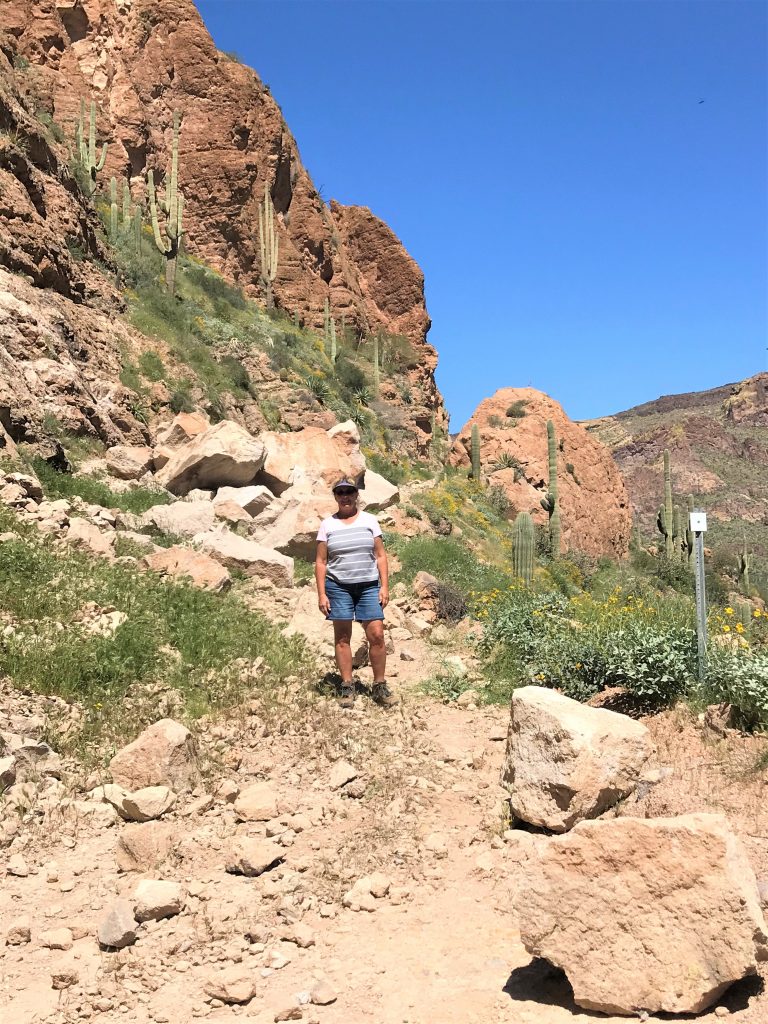
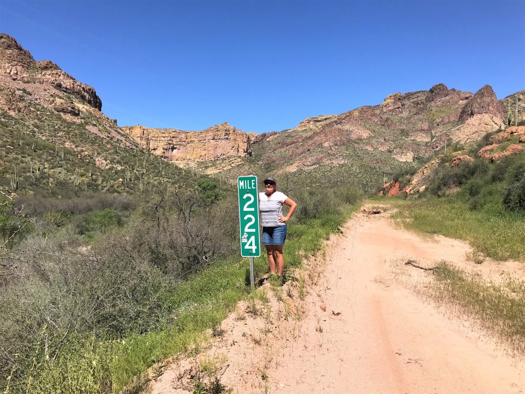
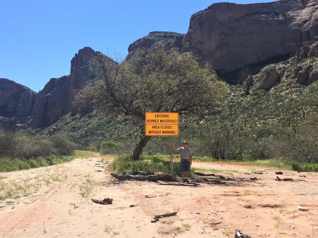
Doesn’t look like much behind me, does it?
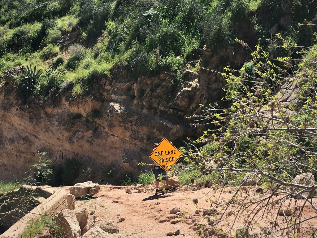
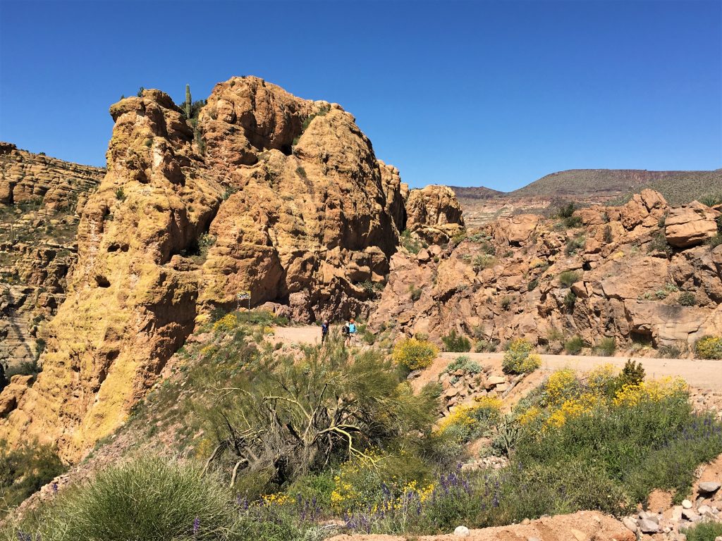
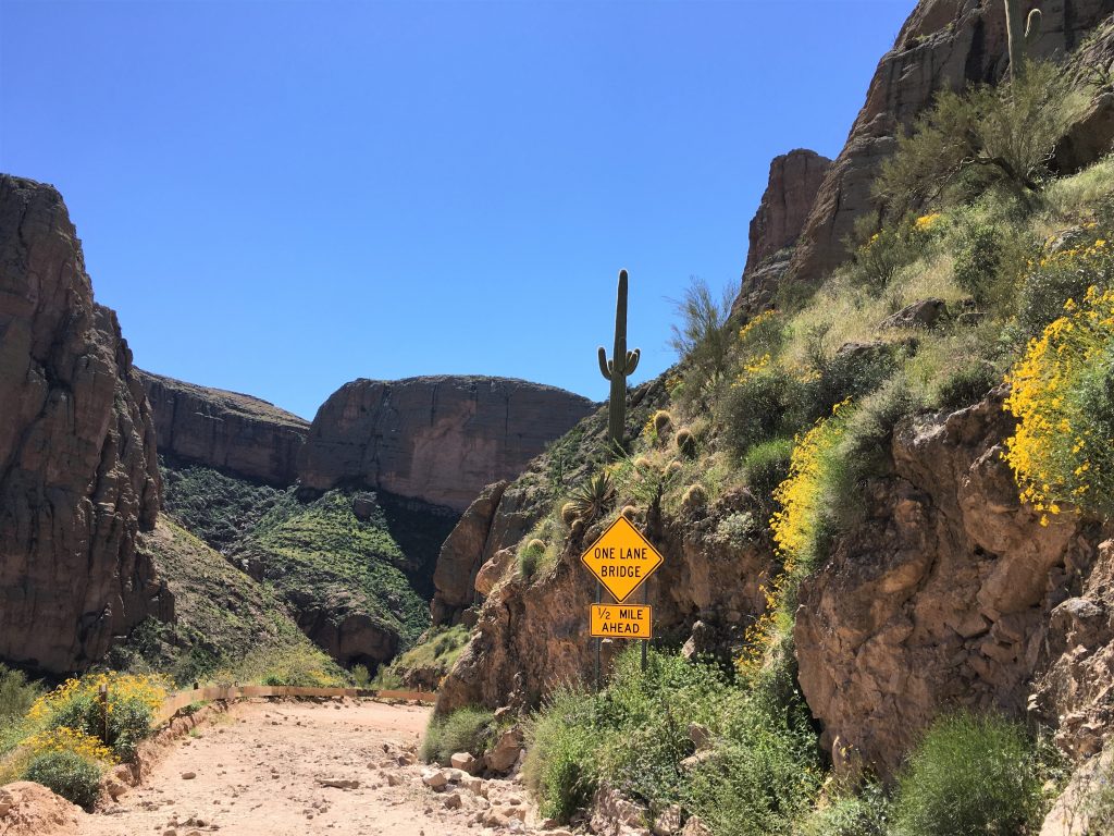
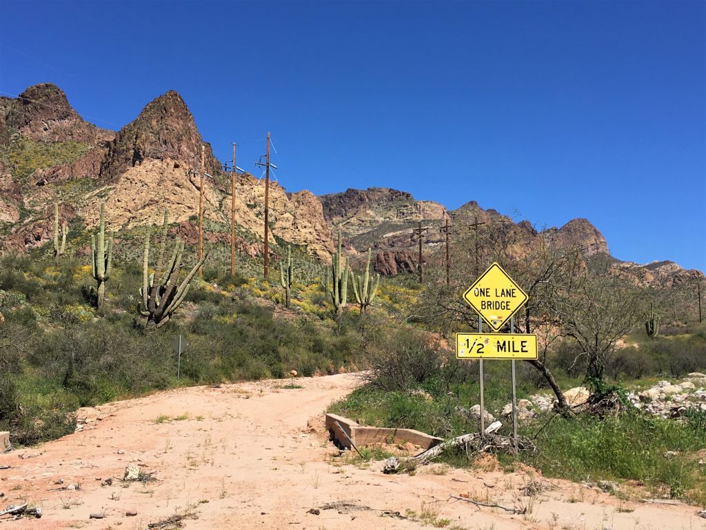
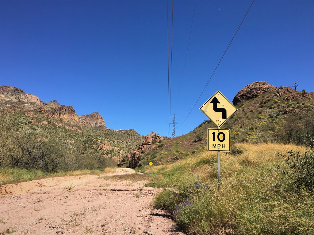
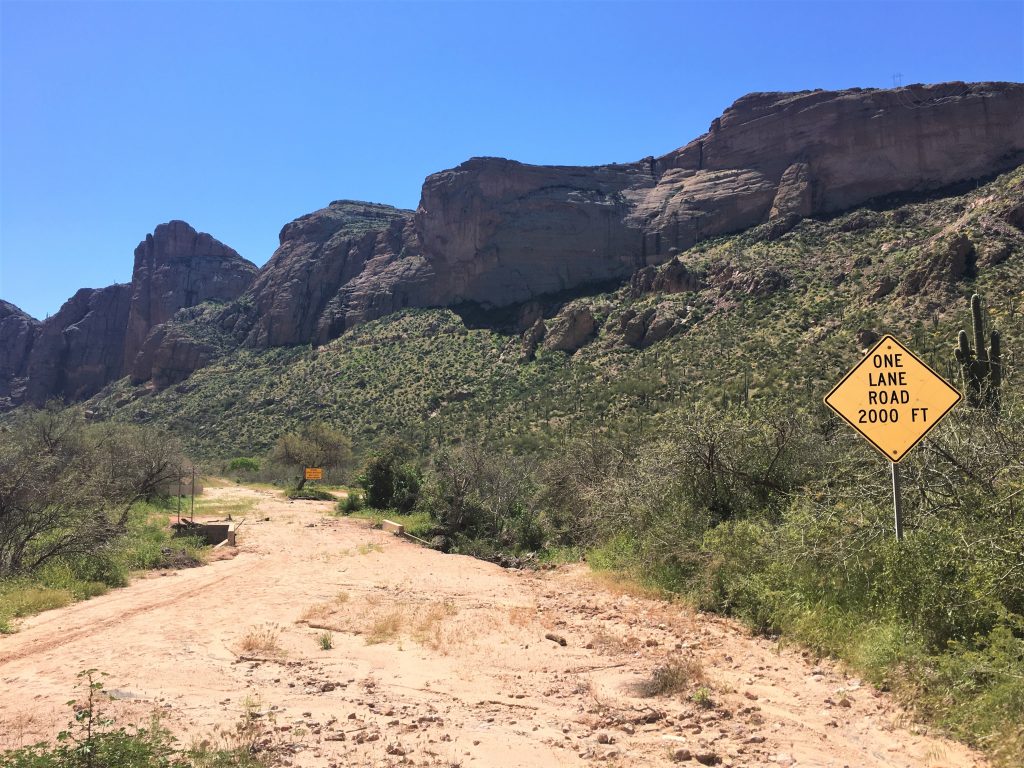
It says “One land bridge”, but most of the road looks like it’d only hold one car at a time.
Even when it’s all in perfect condition.
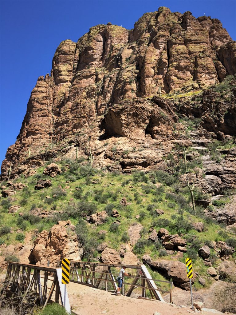
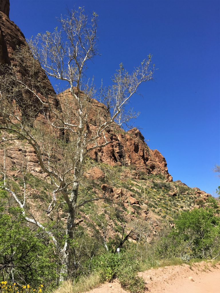
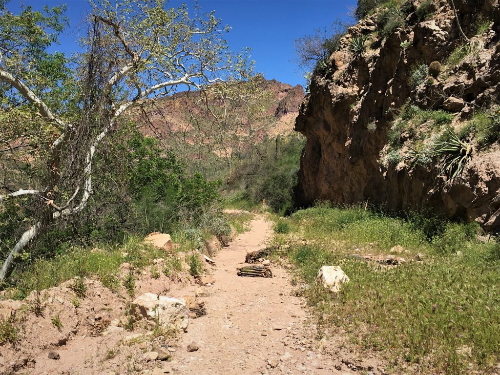
We’ve had trails that were wider than this.
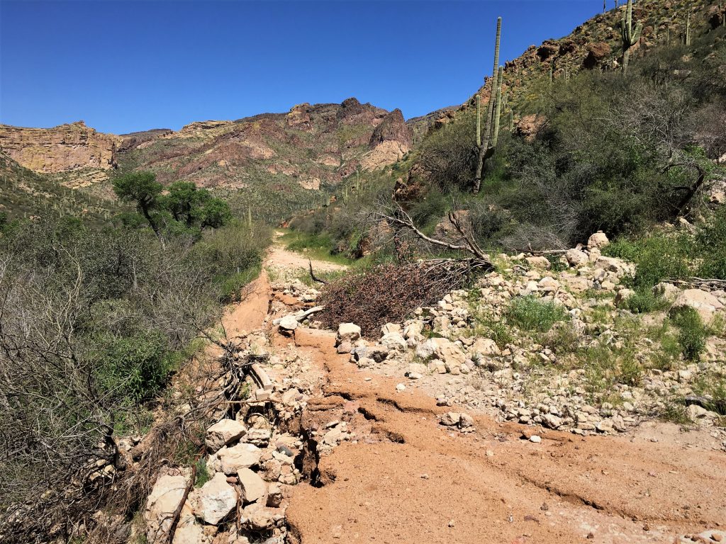
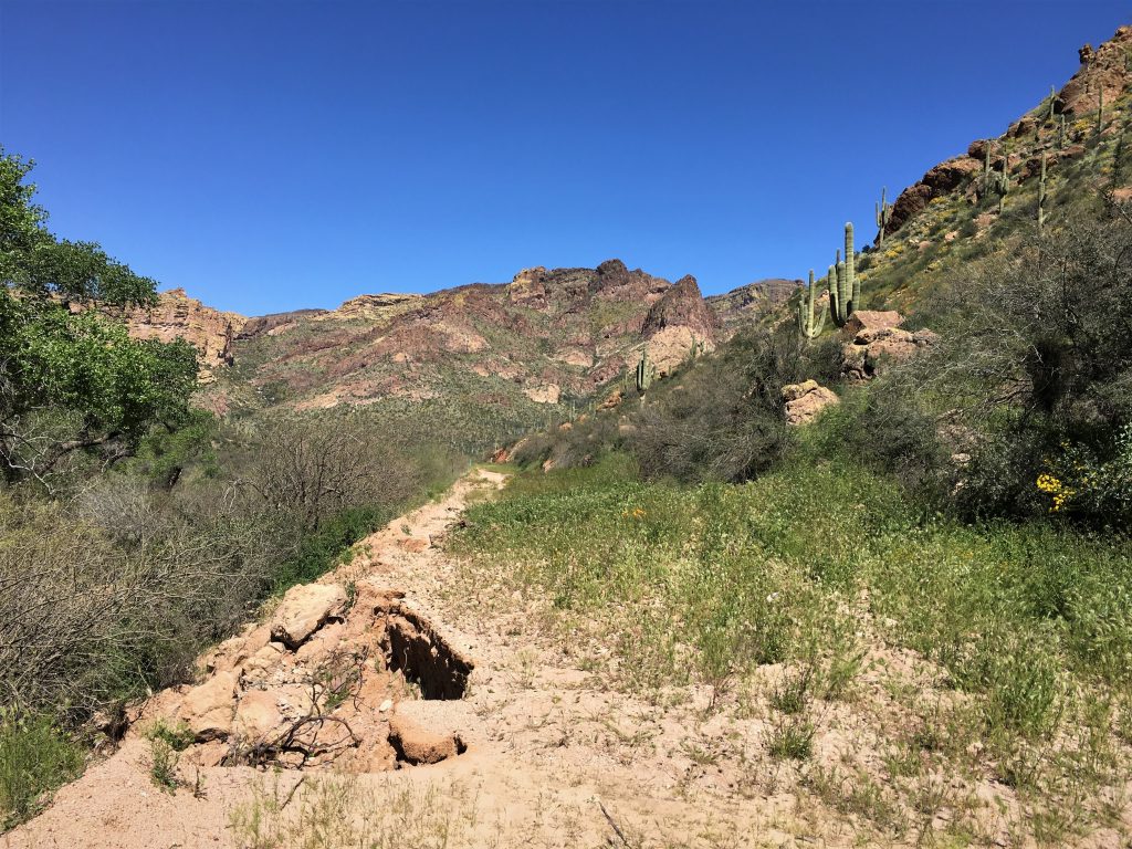
At least here anyway.
That’s good, because it’s starting to get hot out here!
And there’s precious little shade.
Now we all have to go back up. : )
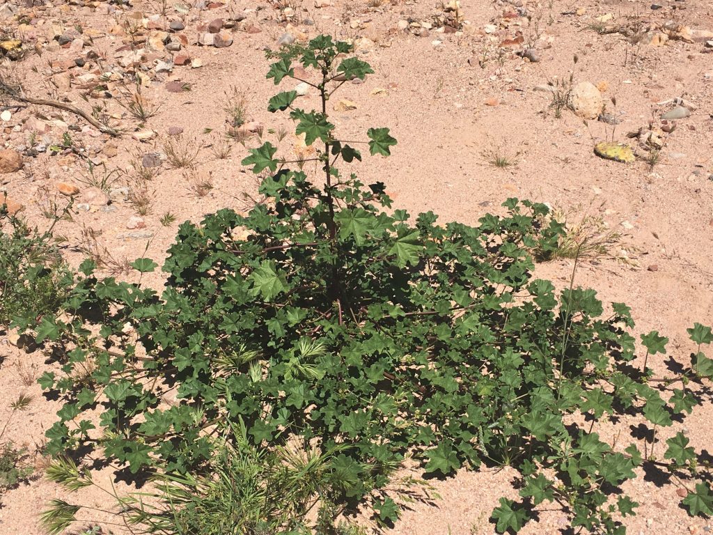
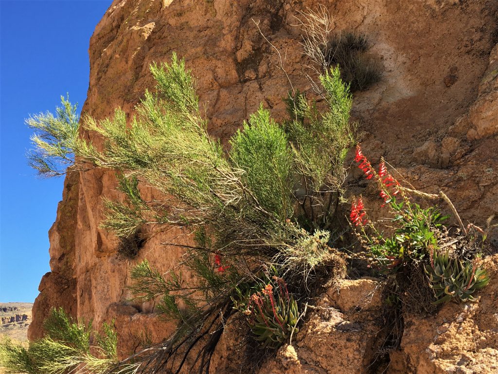
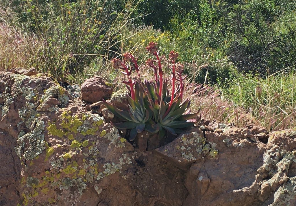
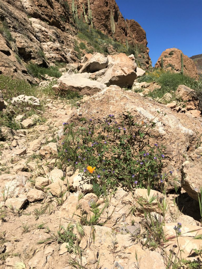
It looks like some kind of ivy, but it’s got a stalk growing straight up,
and it’s growing right in the middle of the road.
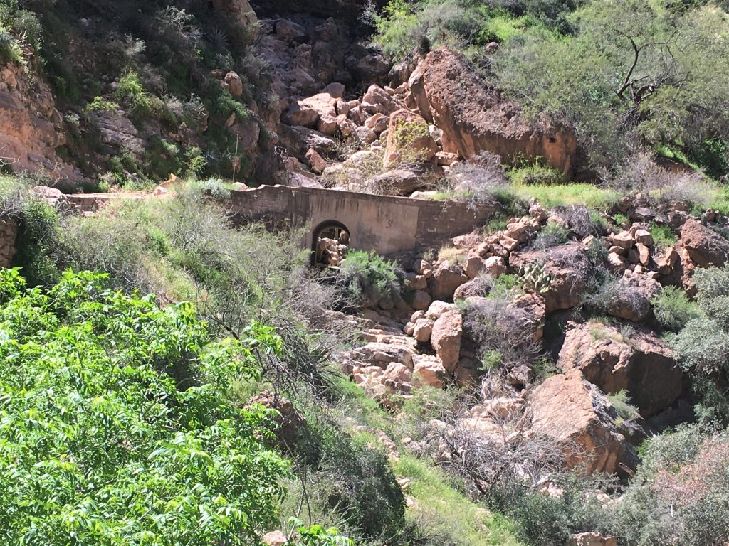
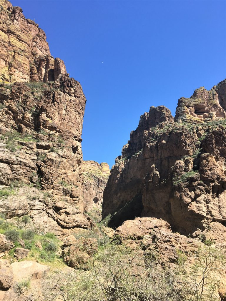
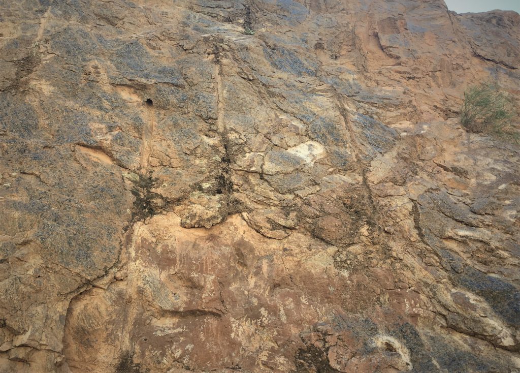
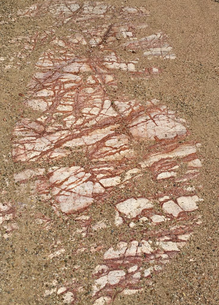
You can see the drill marks in it from when they first carved the road through the mountain.
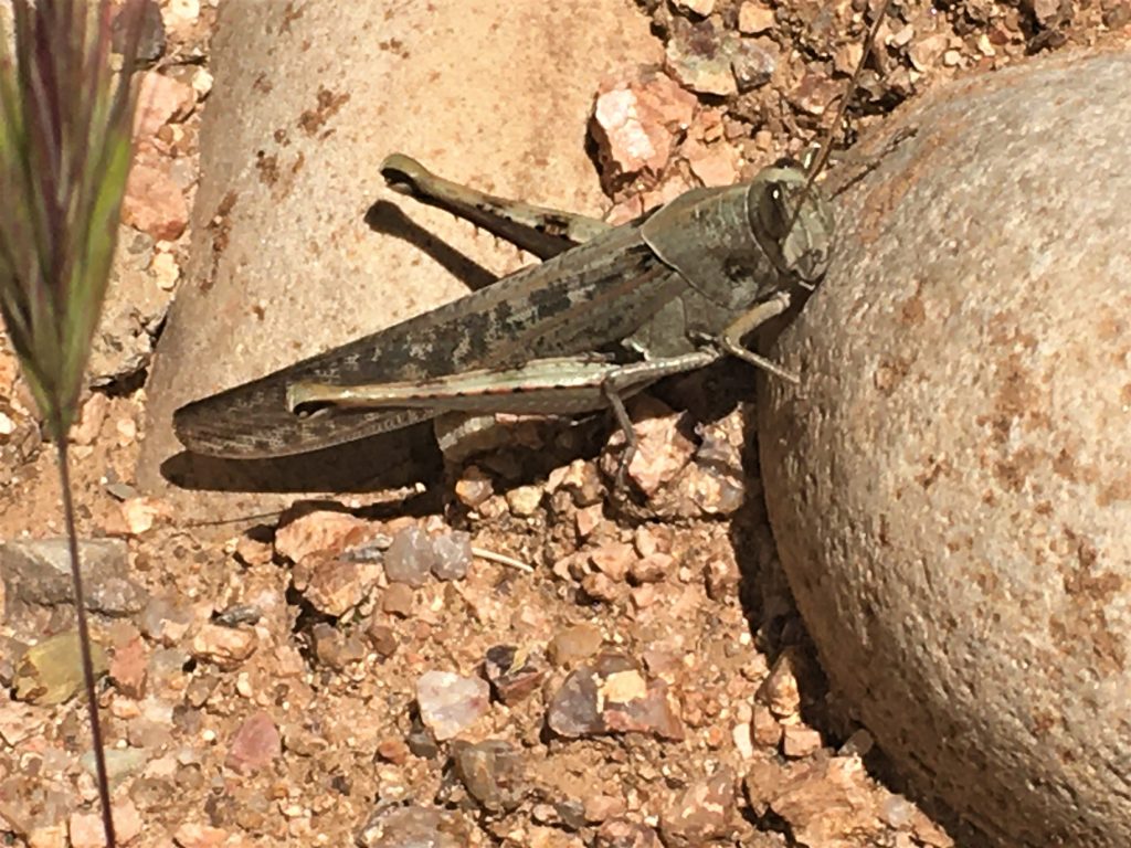
Actually, he was huge! At least 5″ long!
I take full responsibility for it since I was the last one in there.
Thankfully, no one disturbed anything.
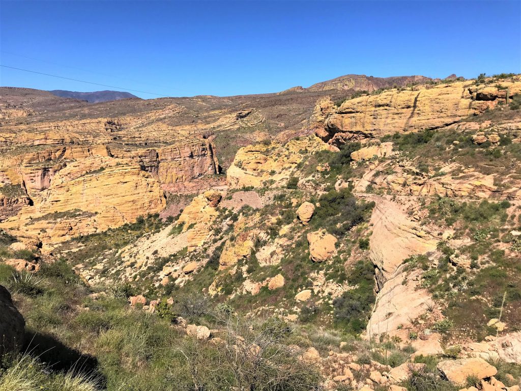
Based on what we saw today, we figured this road’s been closed for a very long time, but I looked at stuff online later, and discovered that it’s only been closed since October! 2019!
You saw the pictures. Can you believe all that’s grown up in such a short time?? We’re still skeptical . . .
Anyway, now we know why that huge bright yellow billboard was up on the roadside as we drove into town the first time – “Save the Apache Trail”. It’s gonna take a whoooollle lotta work to save this road and get it back into drivable condition – even for a Jeep.
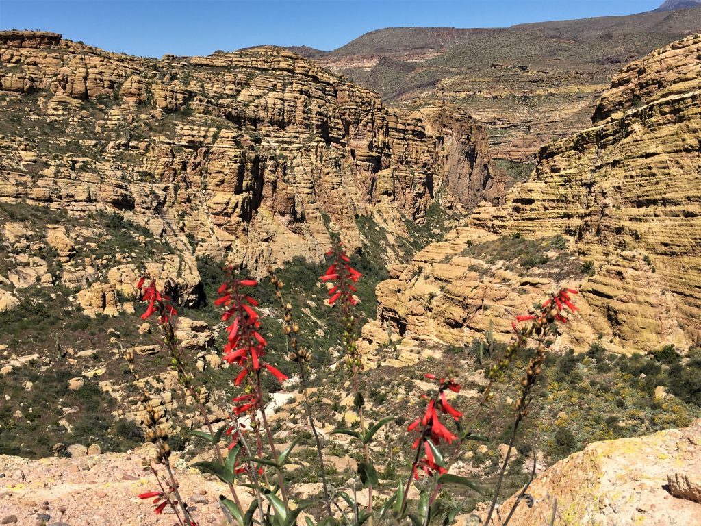
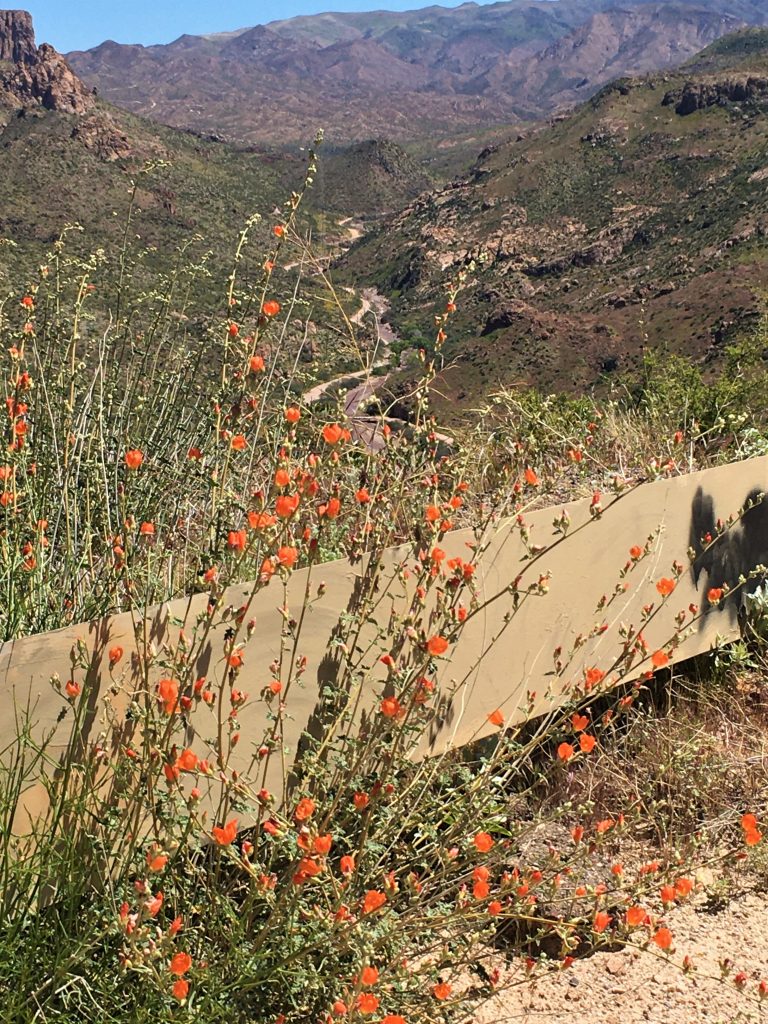
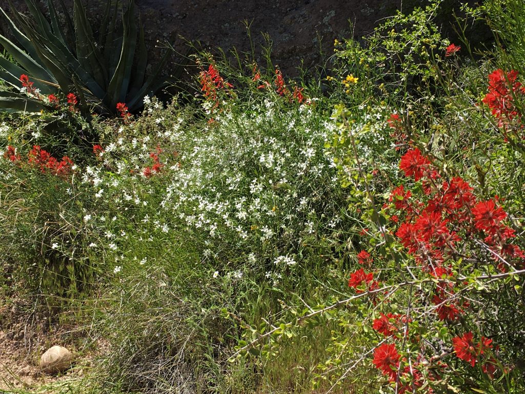
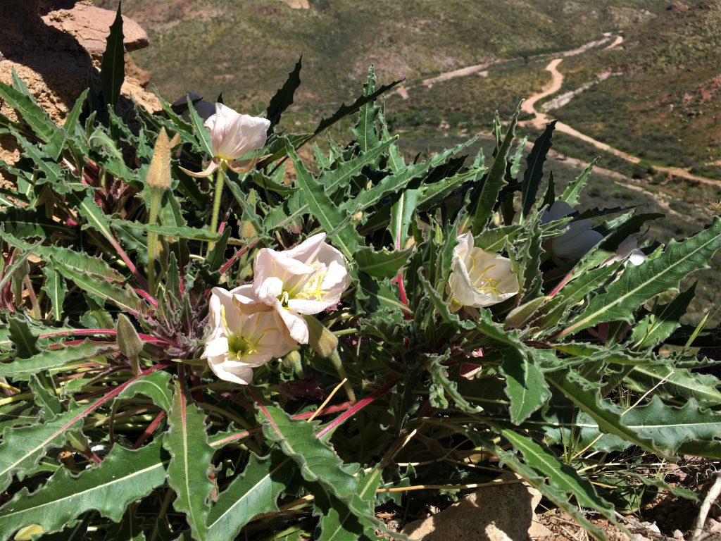
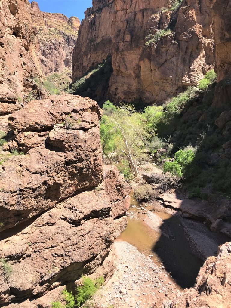
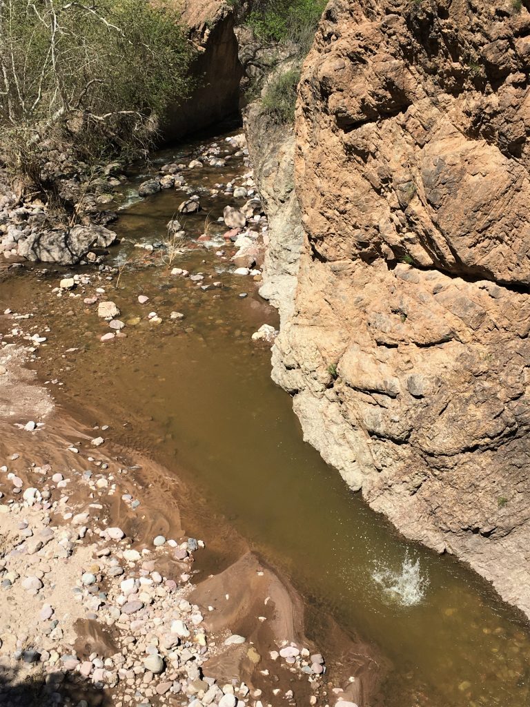
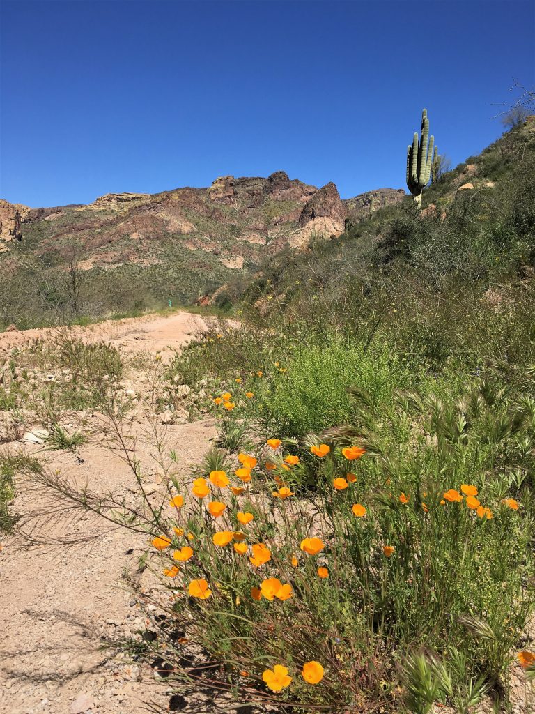
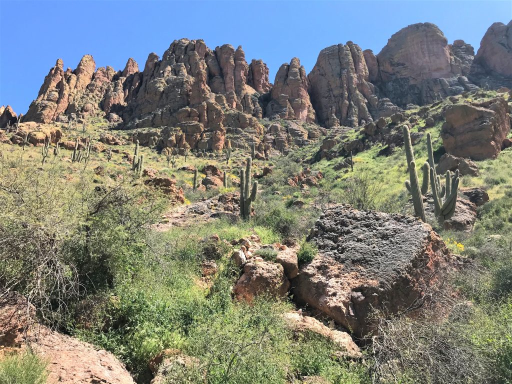
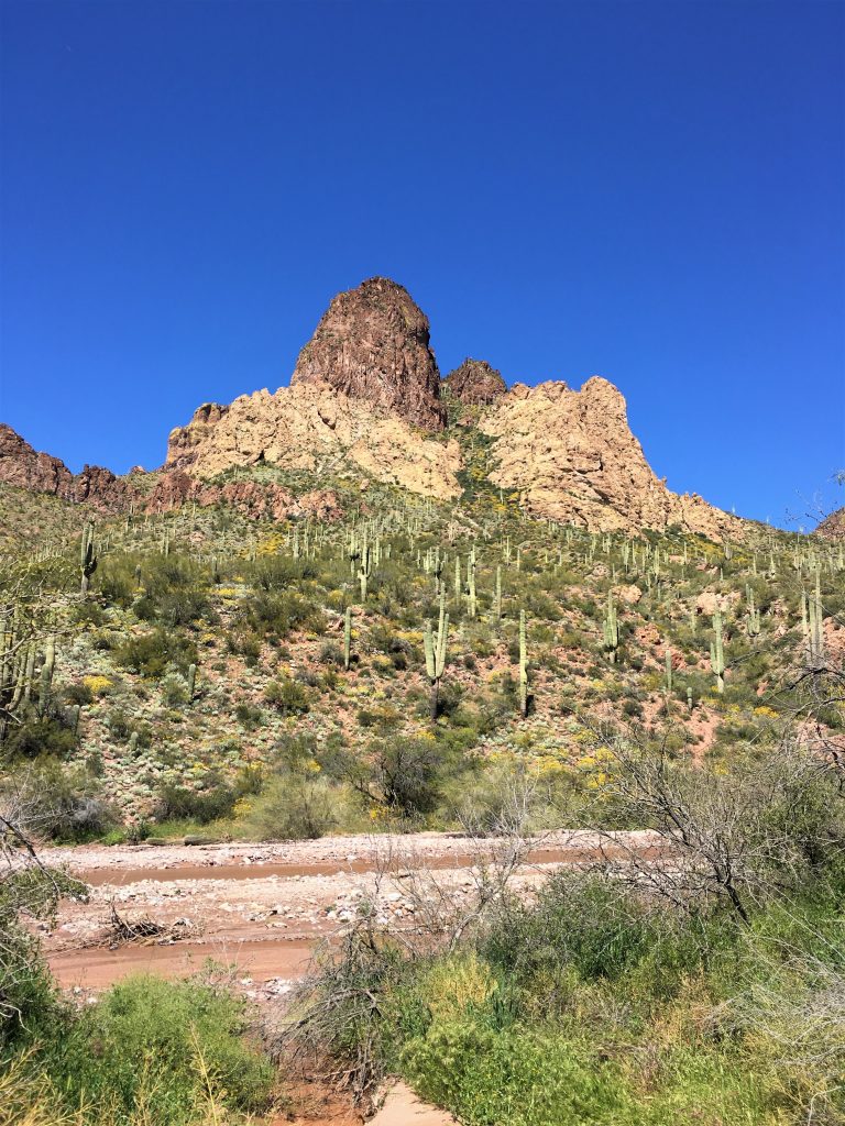
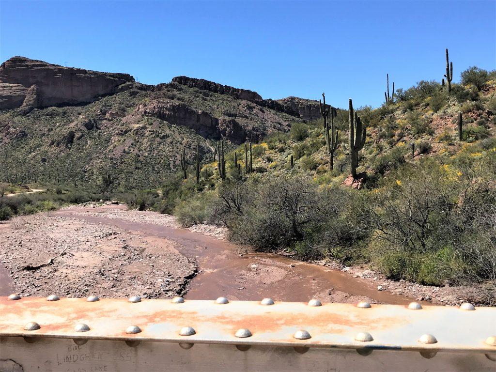
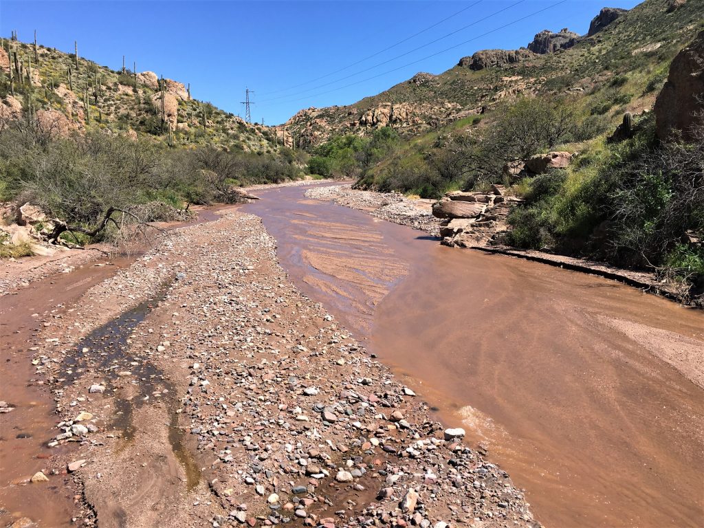
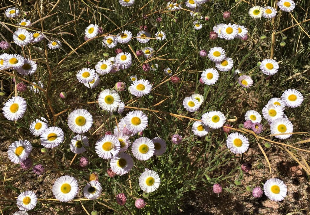
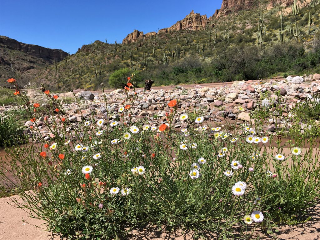
But was sure a beautiful walk! Above and below, as we gazed at mountains and wildflowers the entire time!
