Dead Horse Ranch State Park, Cottonwood, Arizona
Do not move an ancient boundary stone or encroach on the fields of the fatherless, for their Defender is strong; He will take up their case against you. ~ Proverbs 23:10-11
Today, we went in search of some more obscure trails.
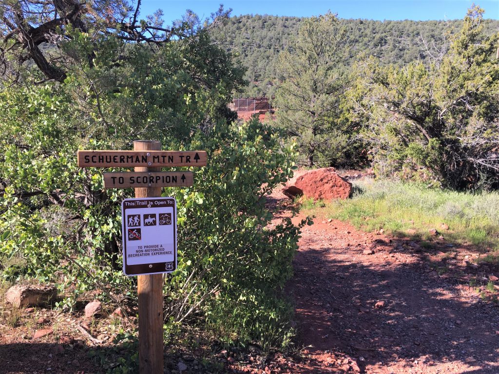
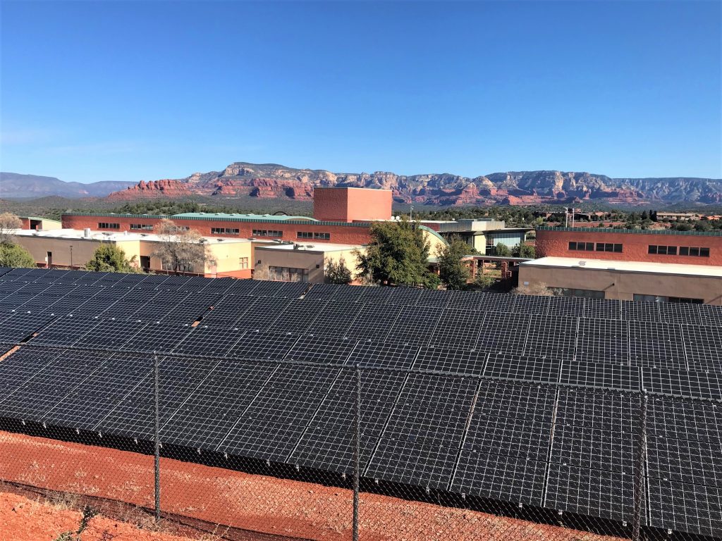
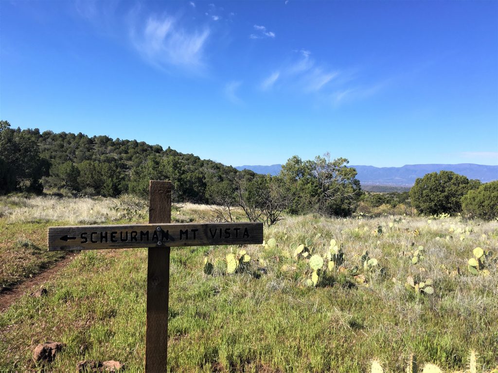
Up first was the Schuerman Mountain Trail. We had a bit of trouble locating the trailhead because it’s located at the local high school. (Go Scorpions!) And because it’s located there, we expected to see high school kids running or walking the trail to stay in shape, but we saw no one. Which is probably a good thing these days. Of course, we’re talking high school kids, so they may have still been in bed. . . .
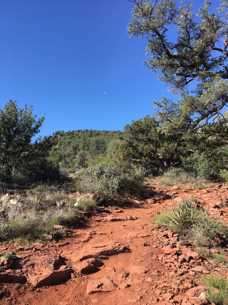
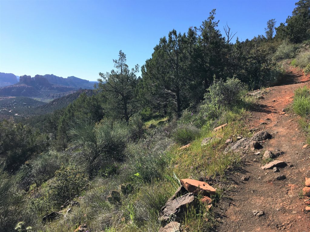
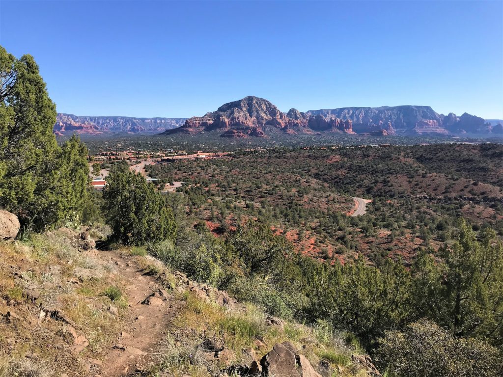
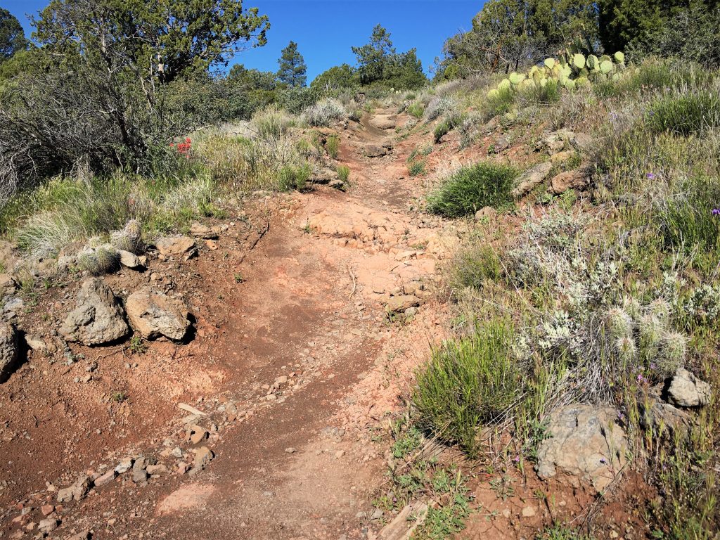
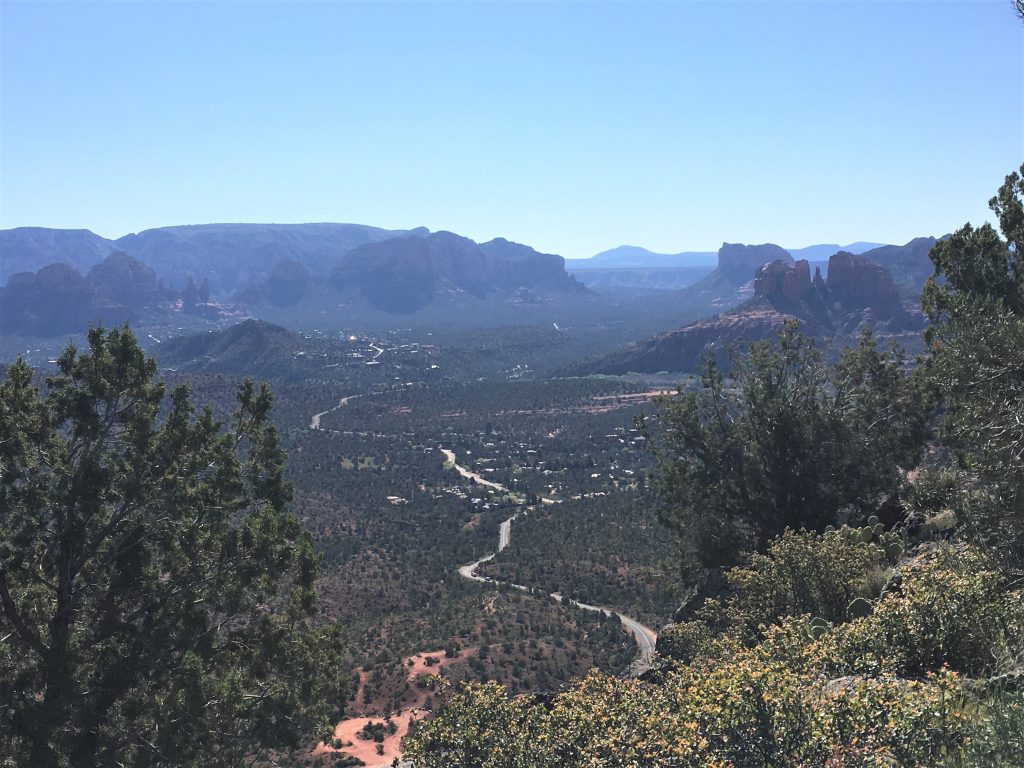
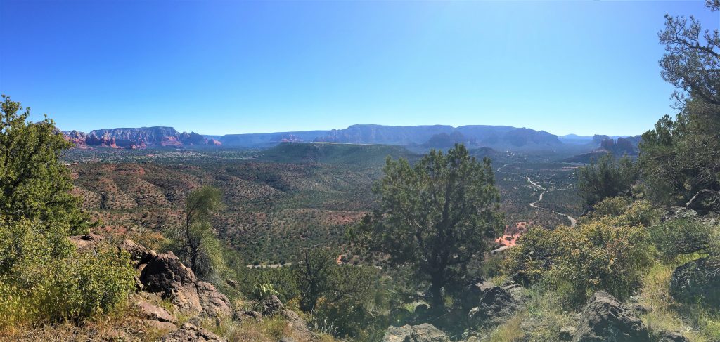
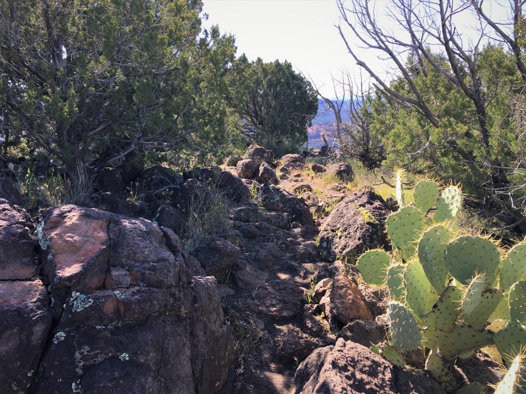
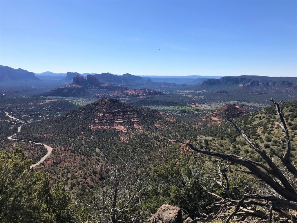
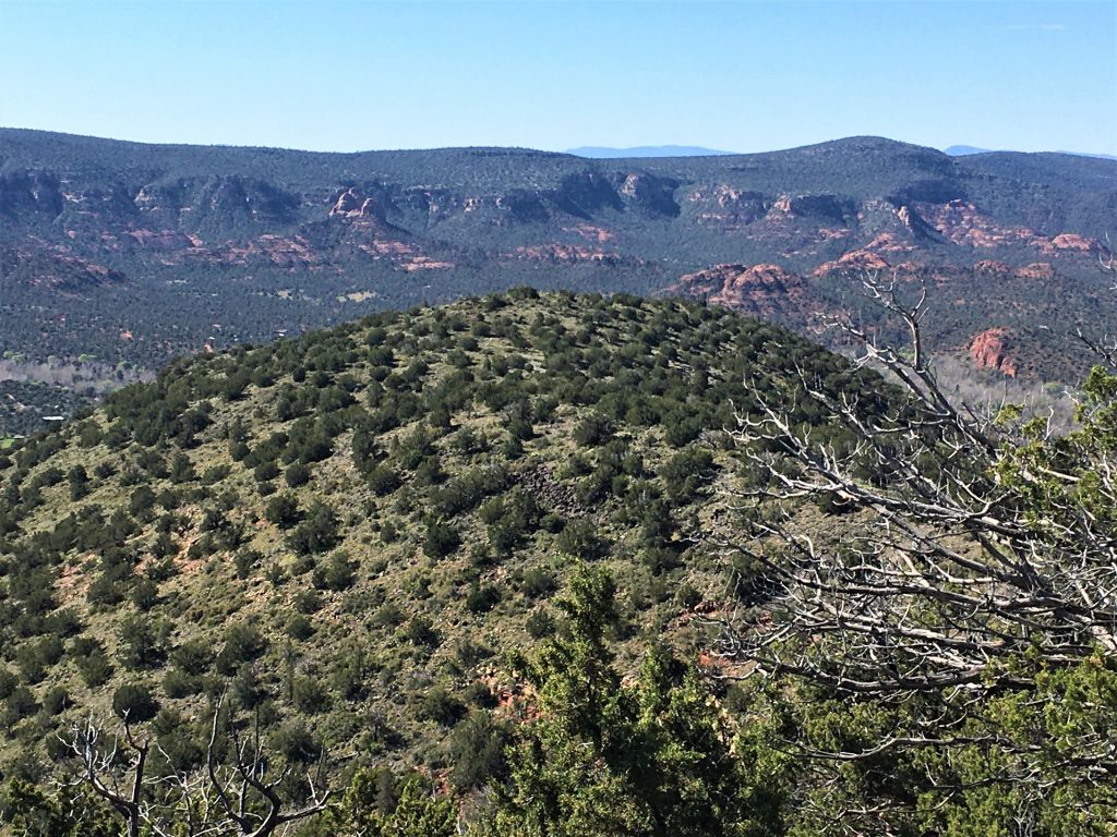
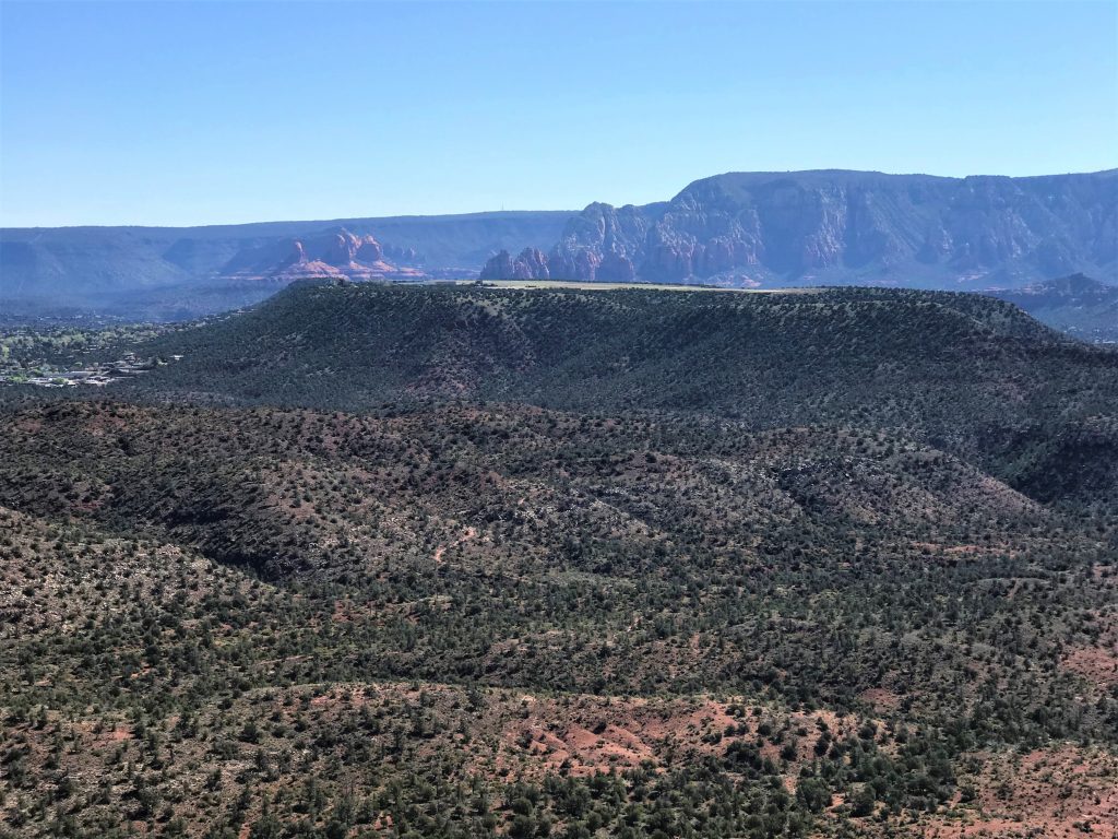
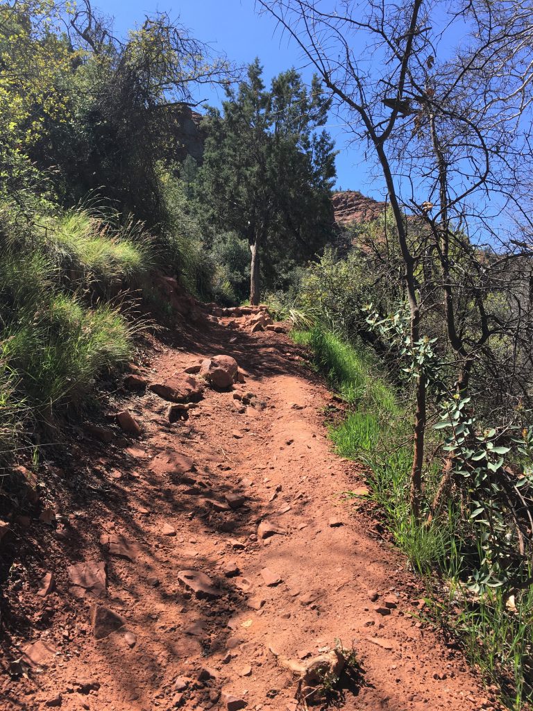
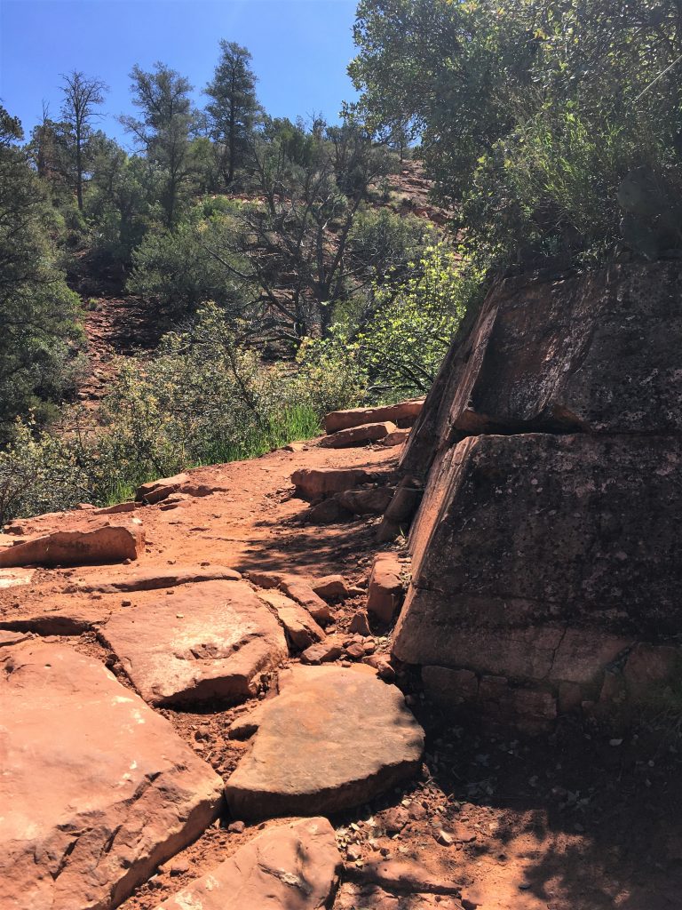
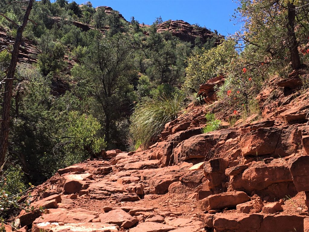
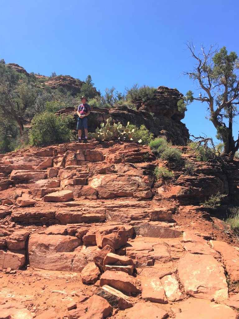
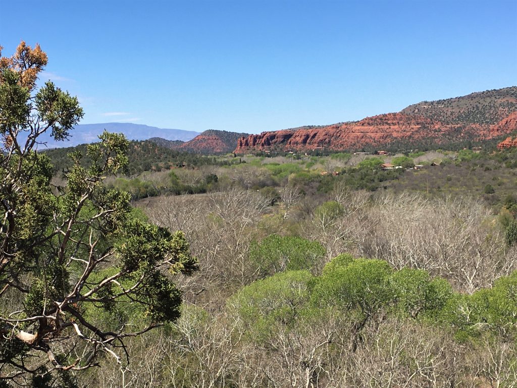
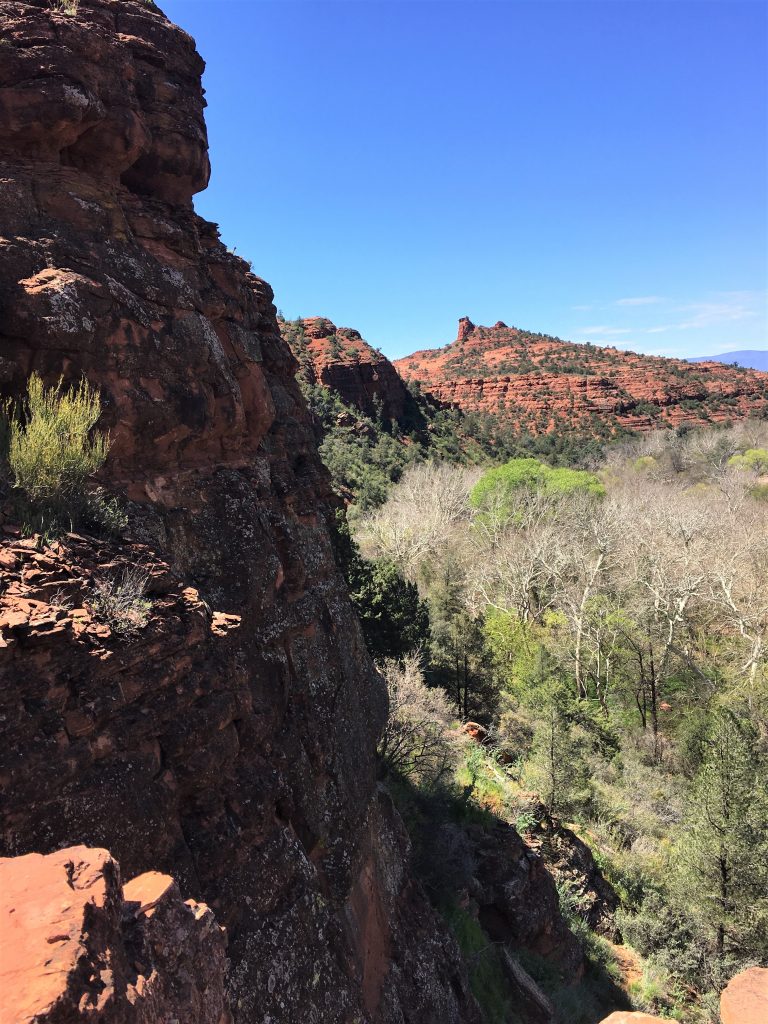
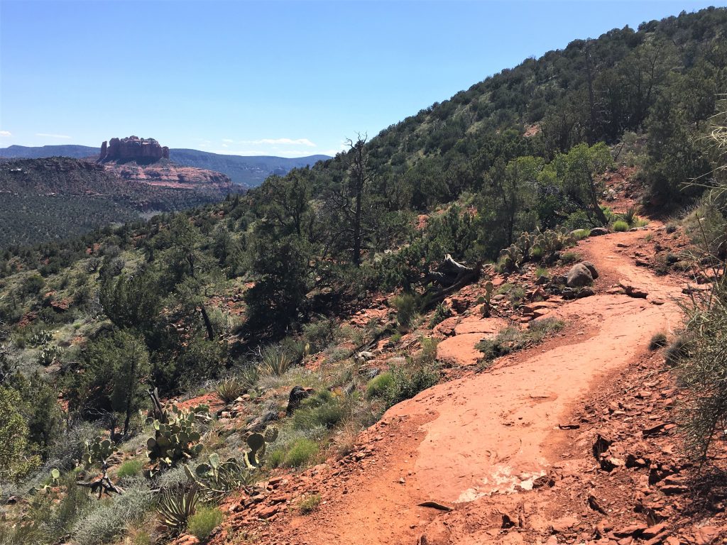
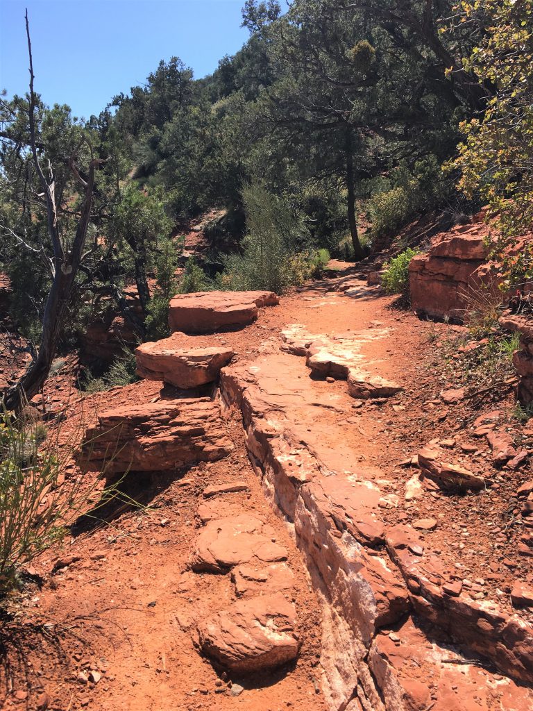
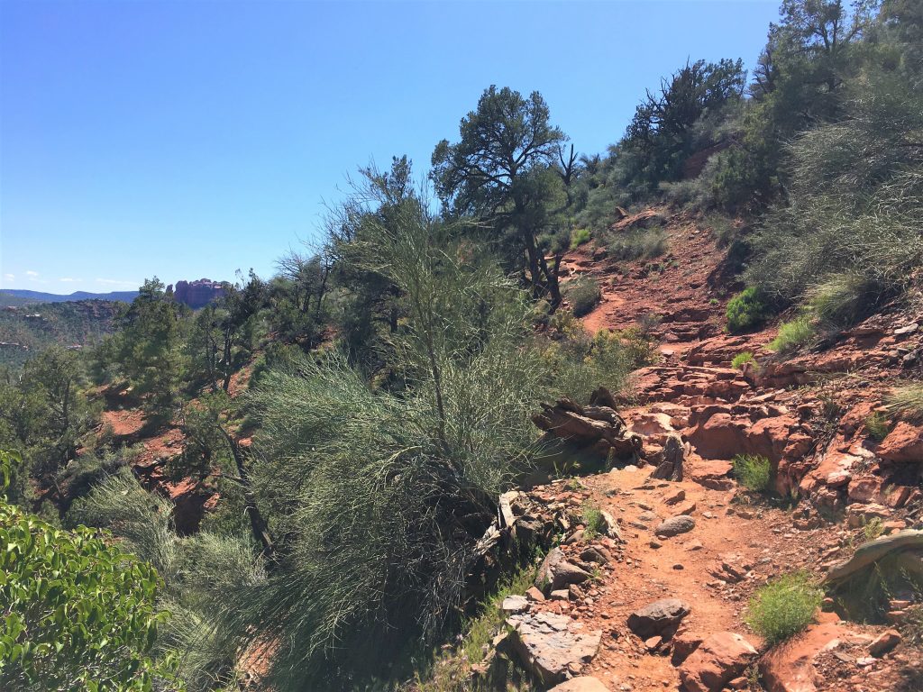
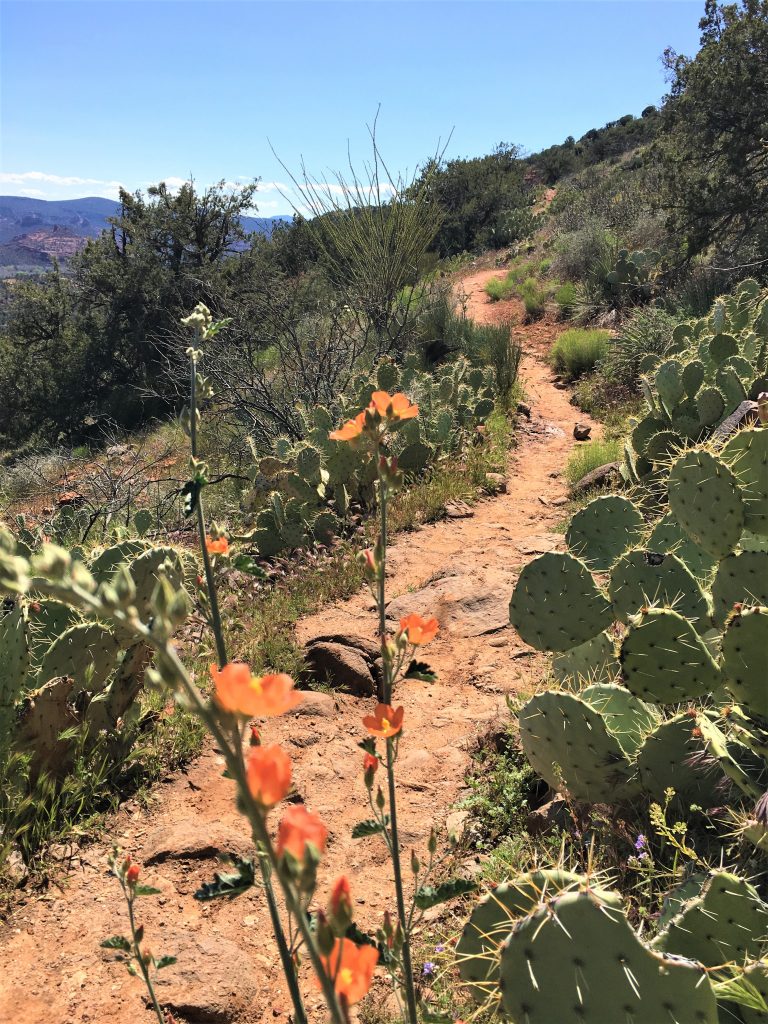
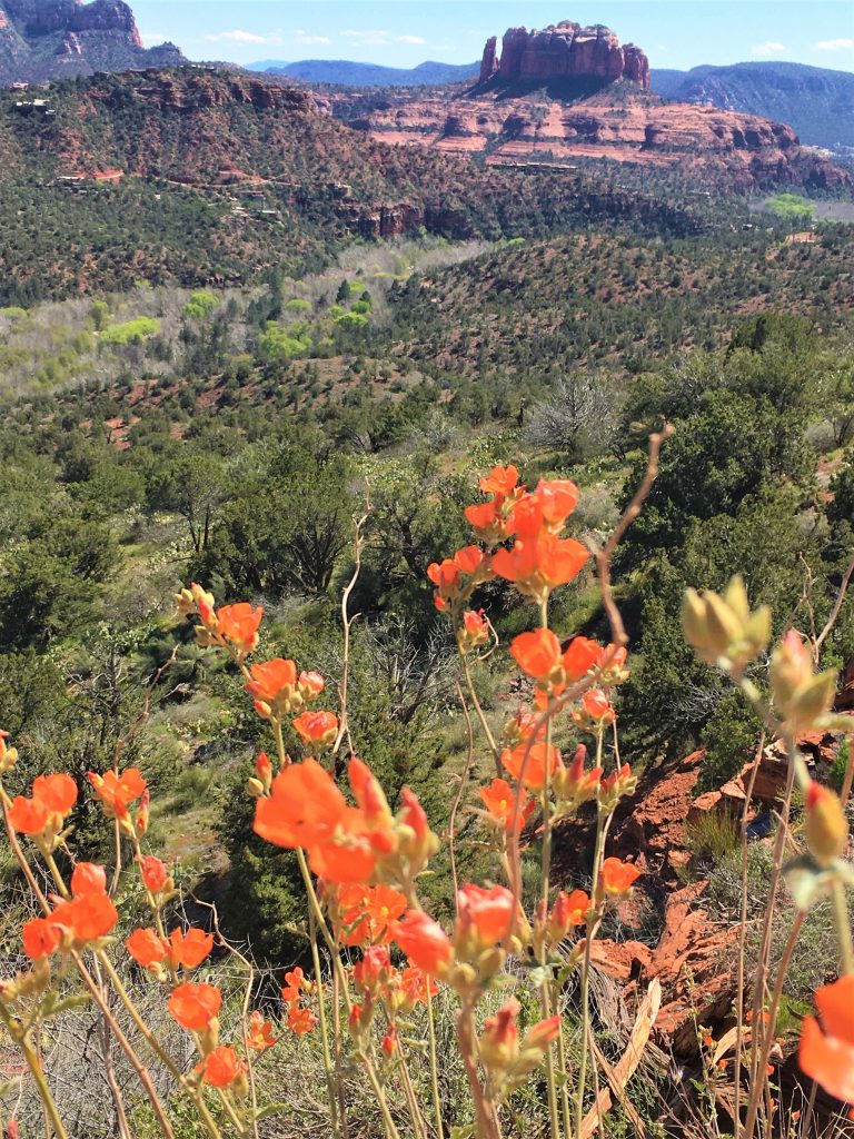
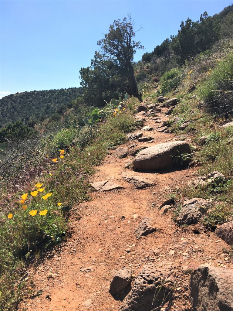
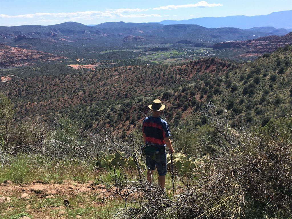
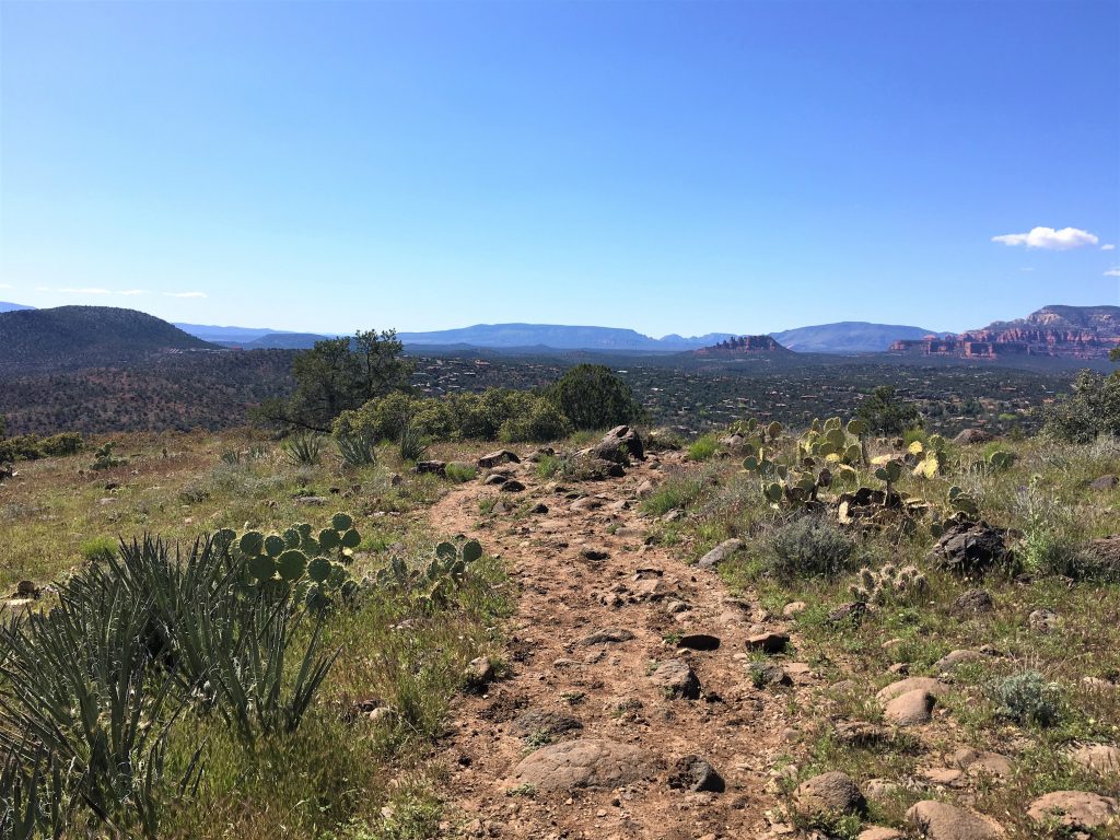
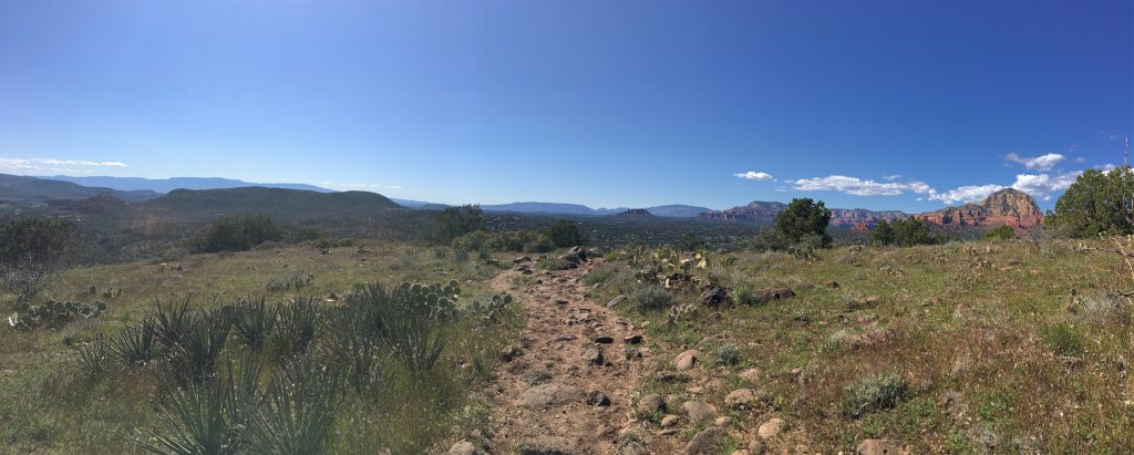
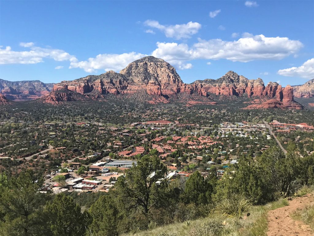
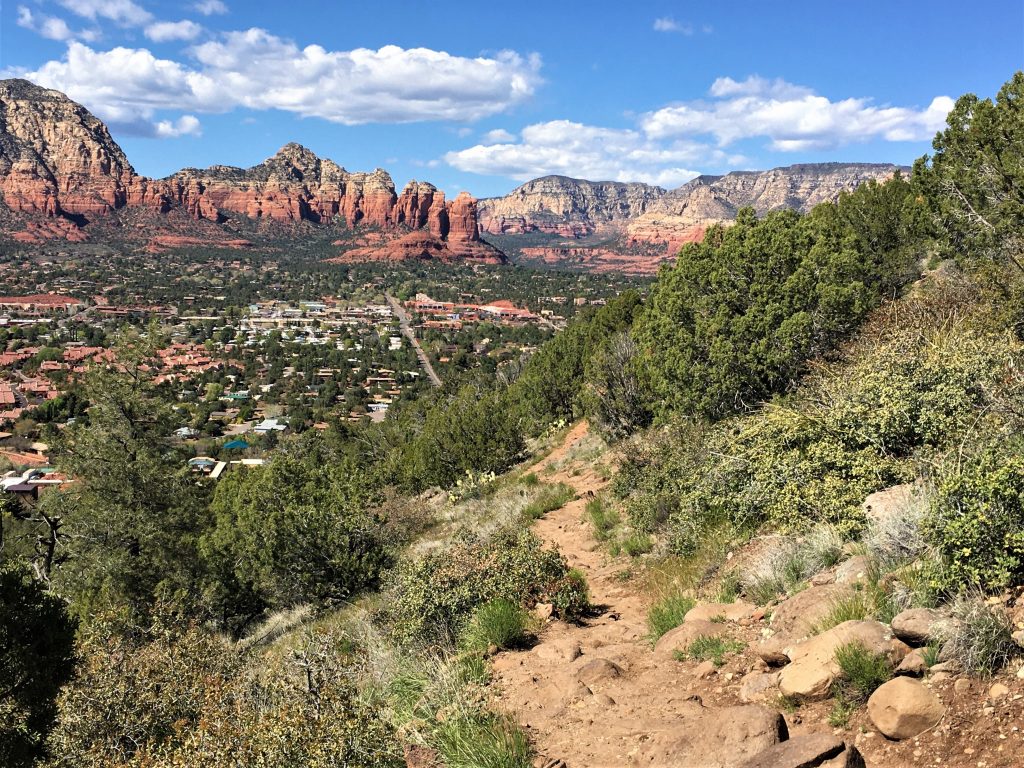
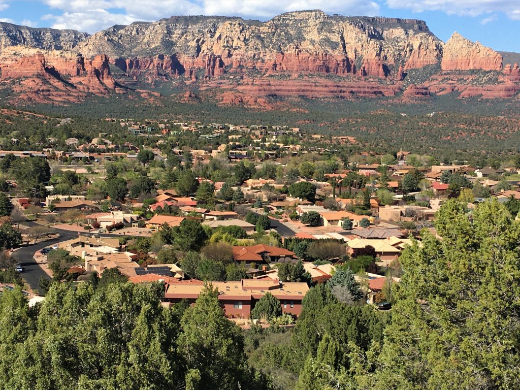
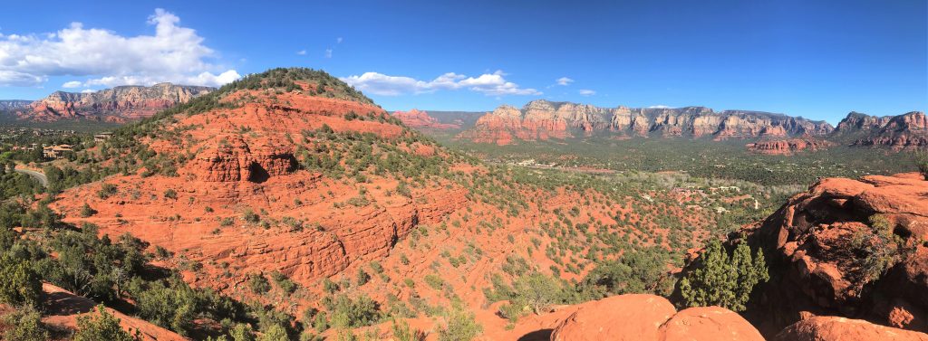
The trail’s relatively short, but a bit steep and rocky. But the views of the Red Rock Valley were spectacular! Had we been there at a different time of day, when the sun hit it, it would’ve been even more so!
We’ve got a busy day planned!
How cool is that?!?
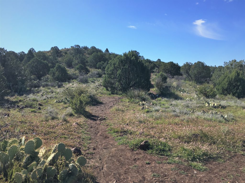
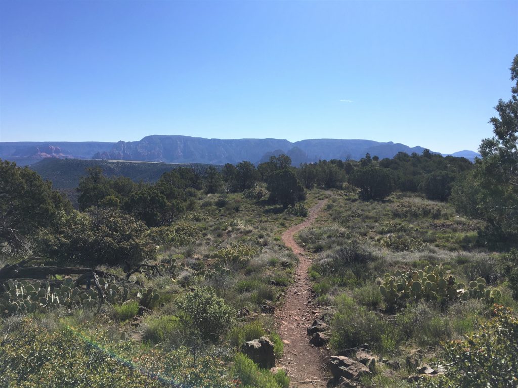
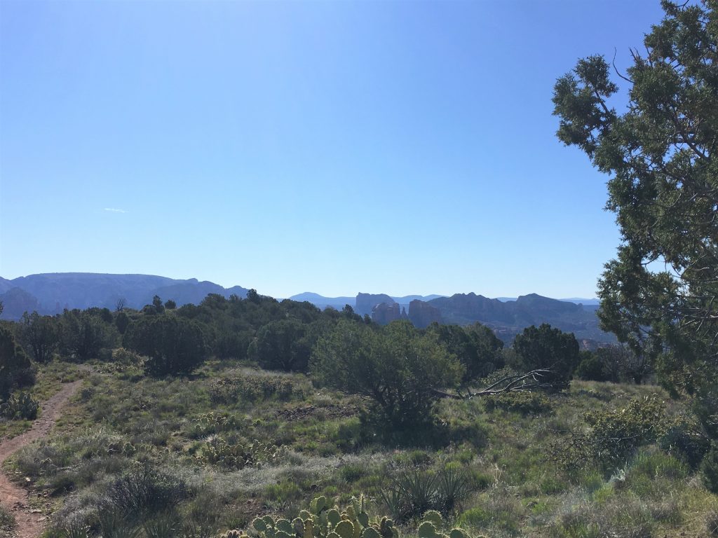
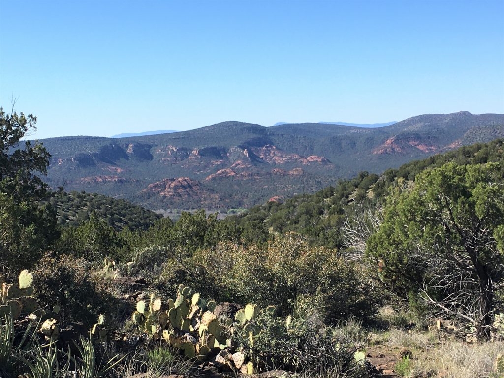
Pretty cool to have an airport on top of a mountain. : )
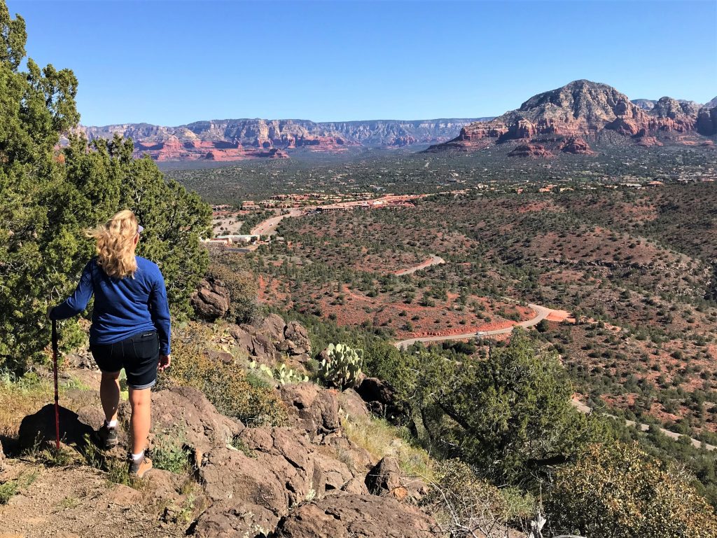
And look how long my hair’s getting!
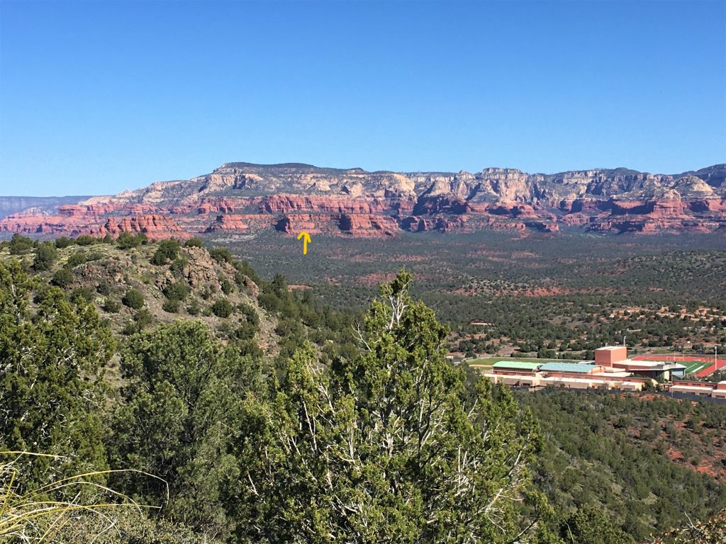
and one of those white ones is Bear. : )
We’re also looking at the top of the high school.
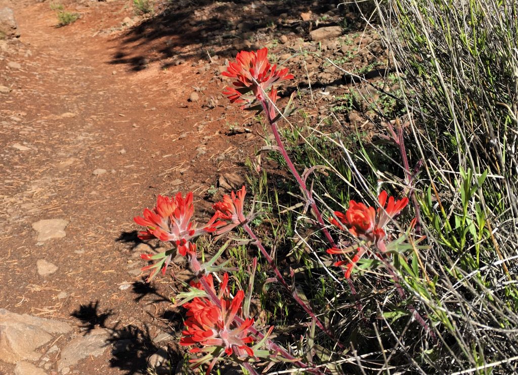
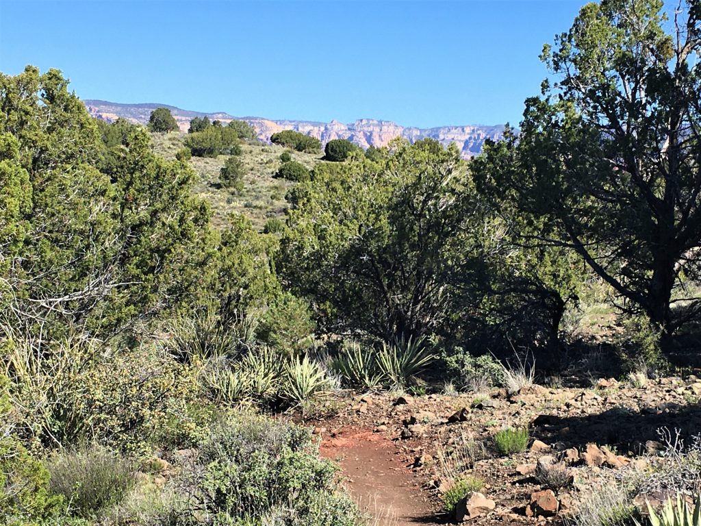
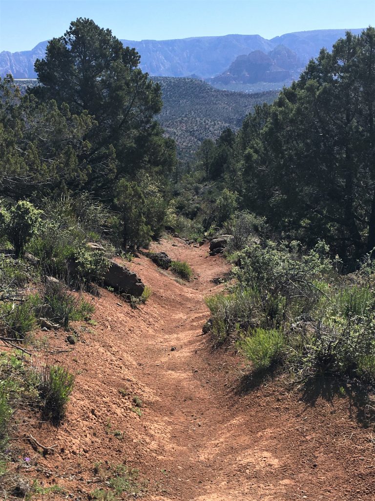
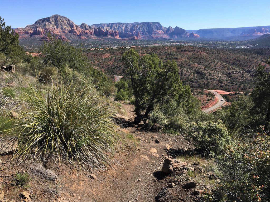
Assuming it’s for students to pick up?
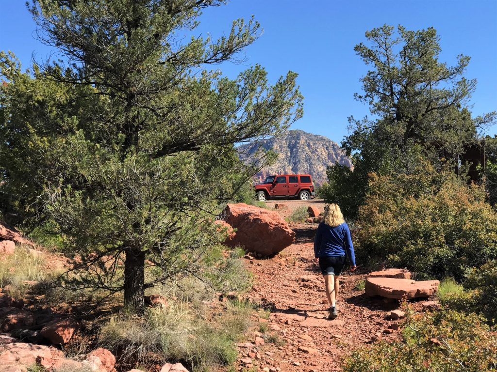
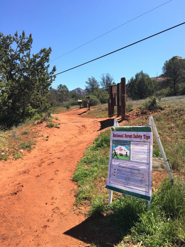
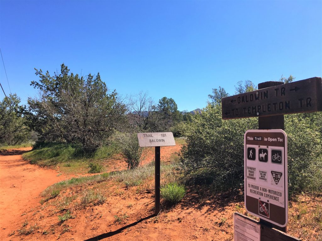
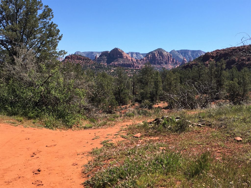
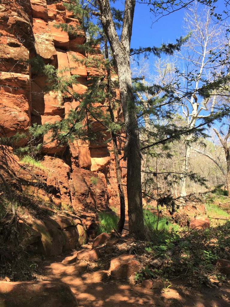
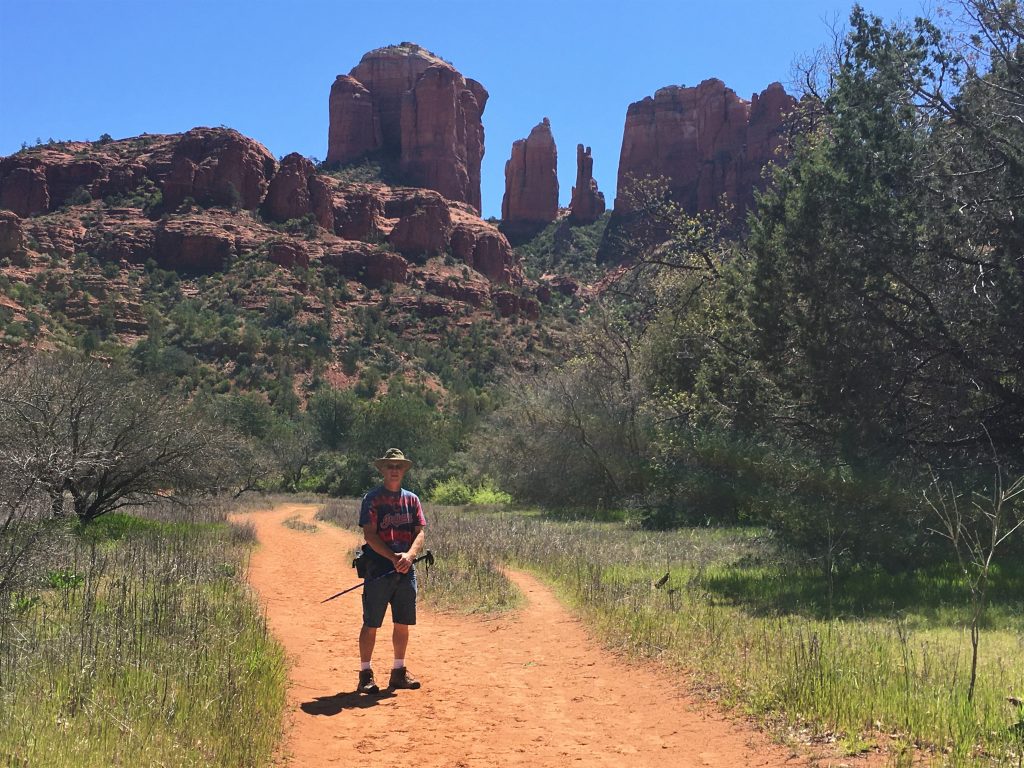
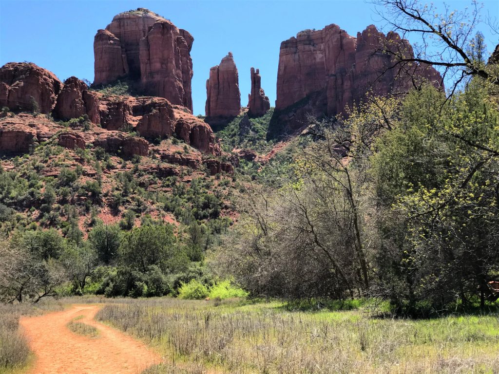
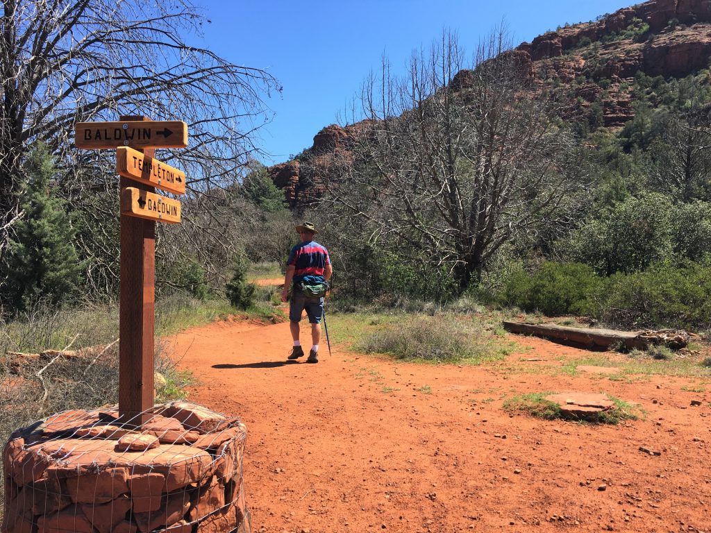
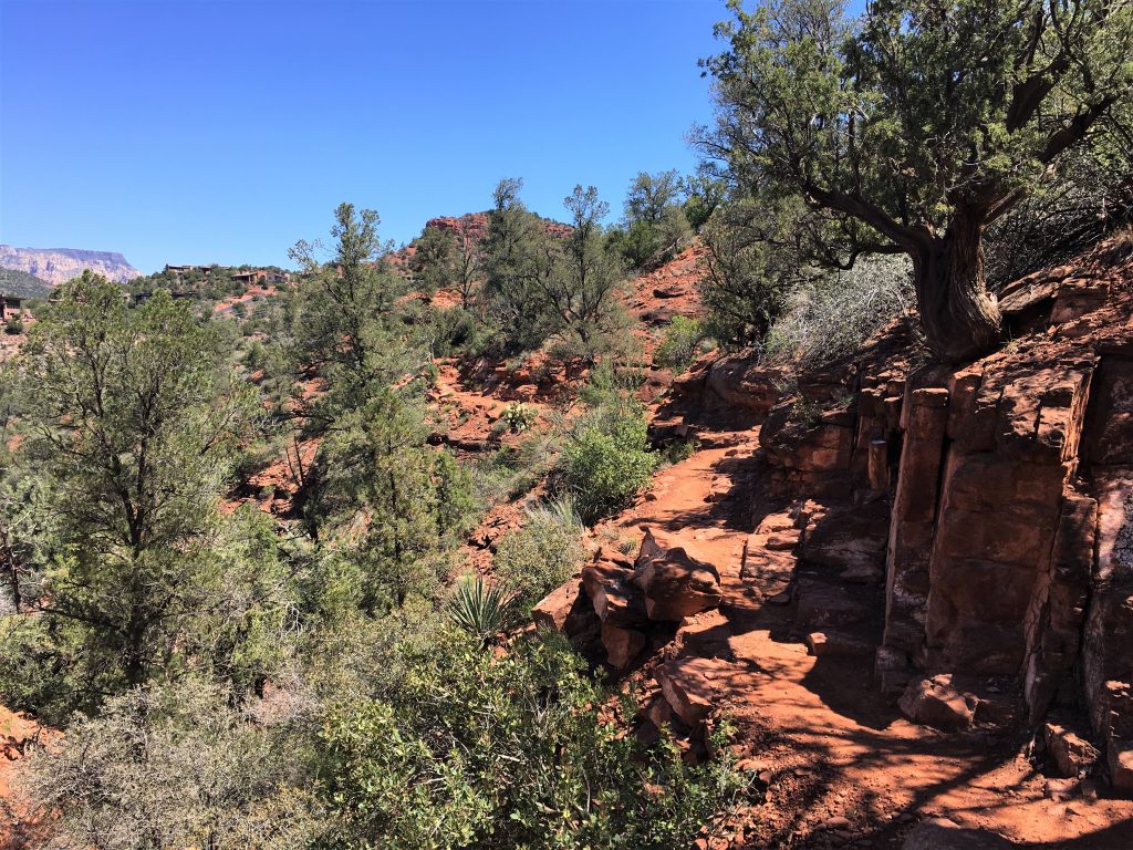
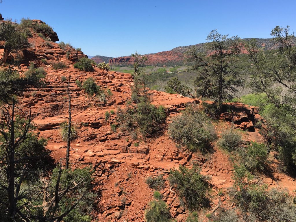
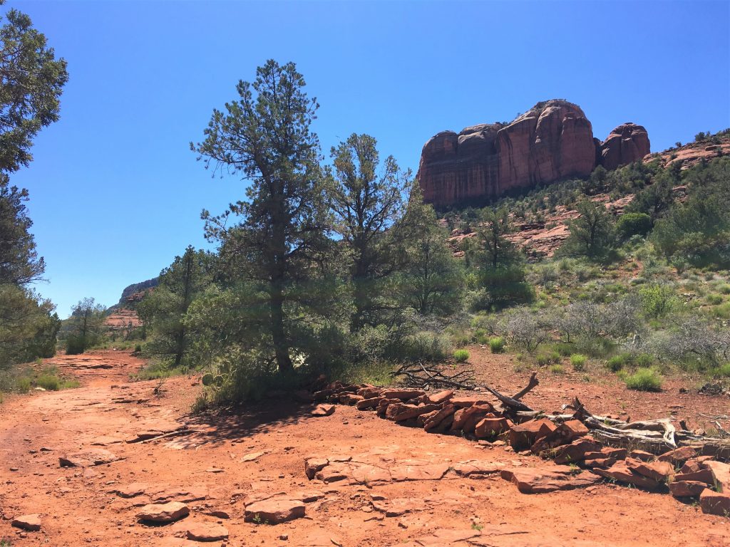
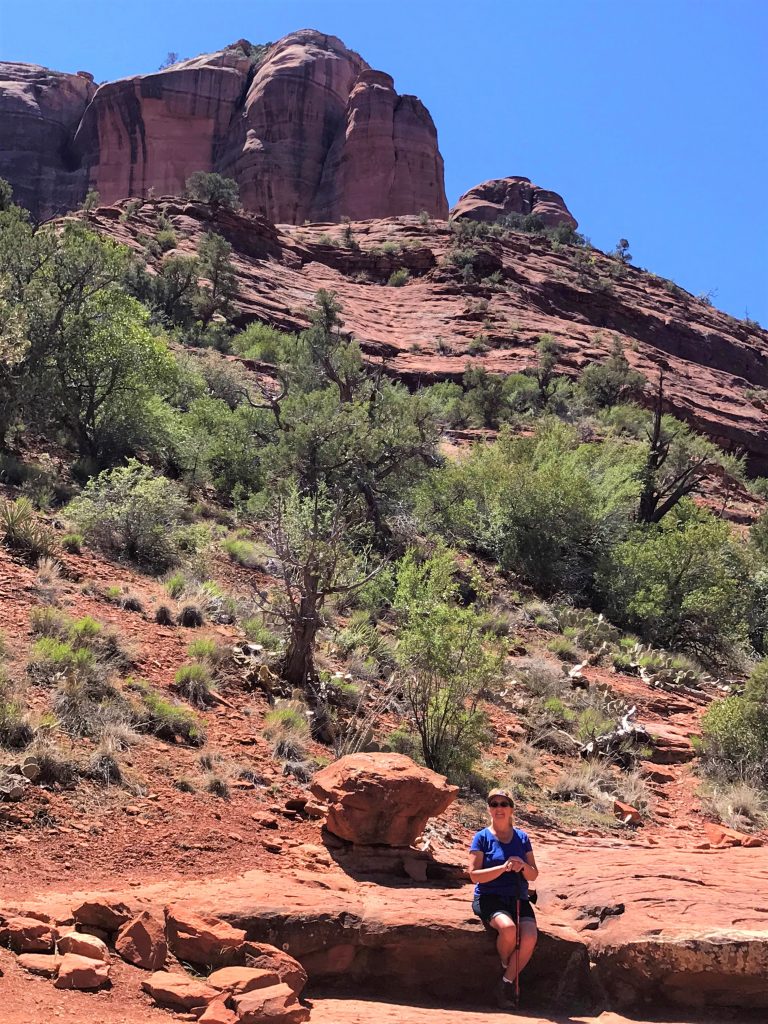
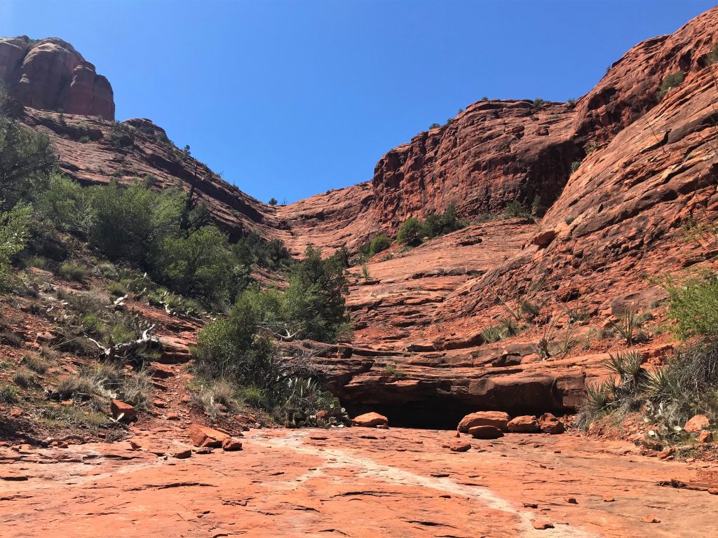
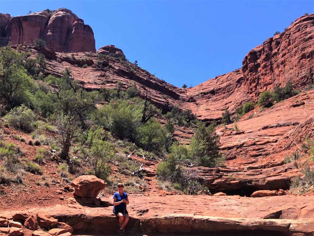
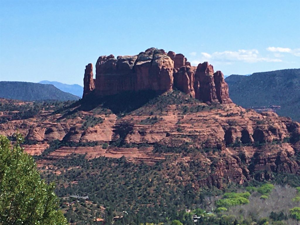
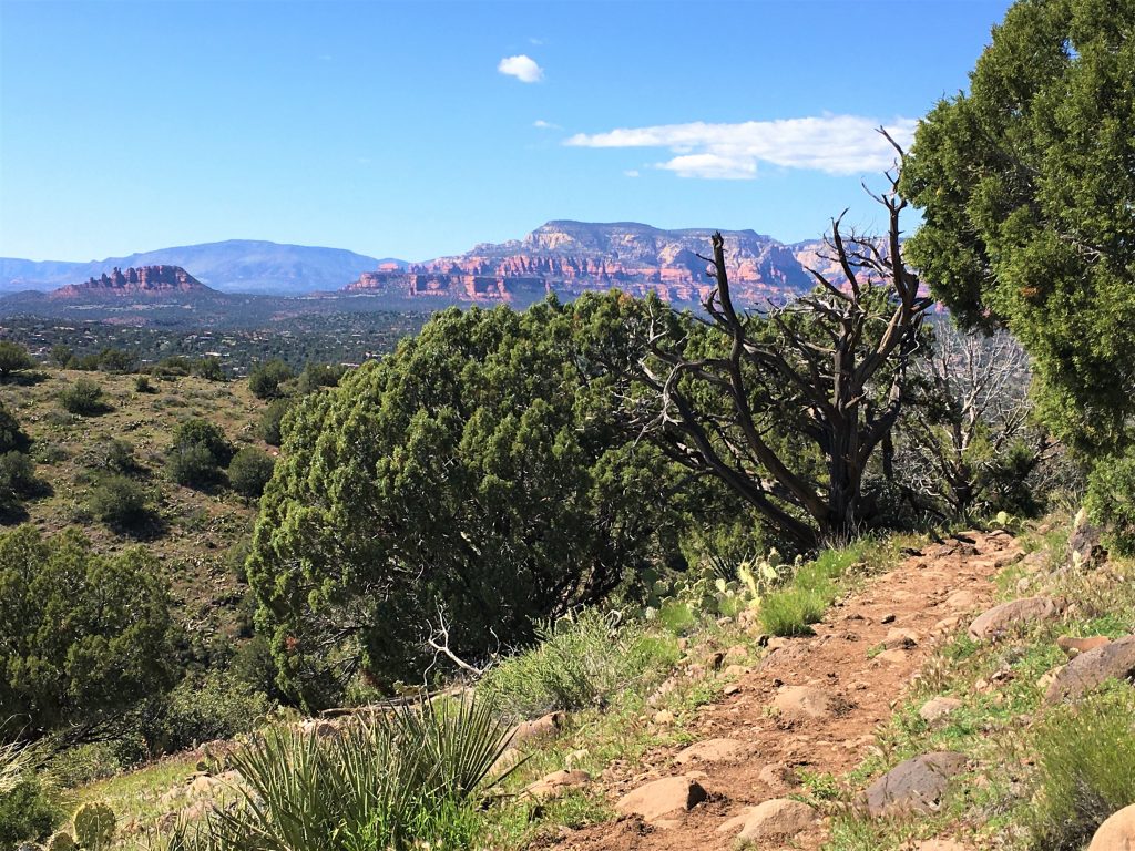
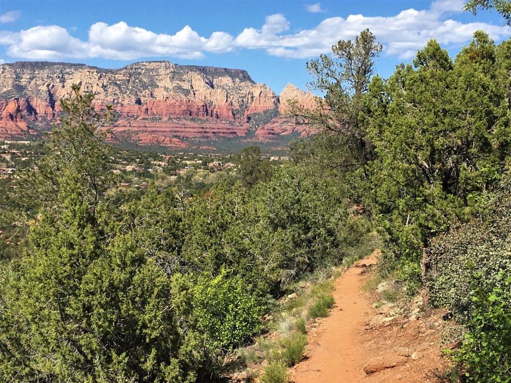
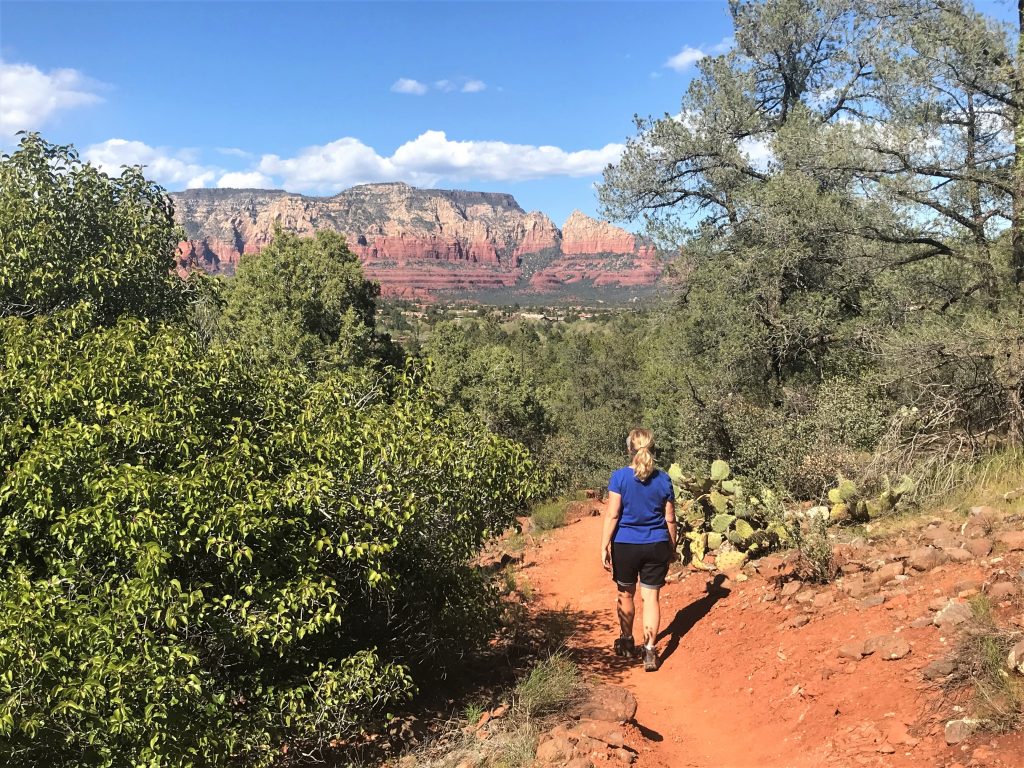
Then we drove over to check out Baldwin Trail. Once we got there, we discovered that there was another trail Blaine hadn’t read about called Templeton. B & T connect. At that intersection, you could take the rest of Baldwin loop, or walk Templeton. Now mind you, by itself Templeton is a 7-mile trail. We weren’t up for that today because it’s our last day and we still wanted to get over to another trail, but we thought Templeton might be our best shot of getting close to Cathedral Rock, and it was!
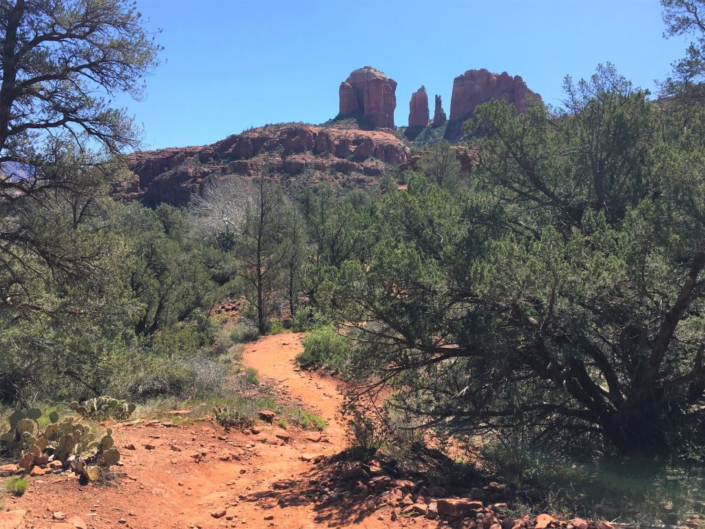
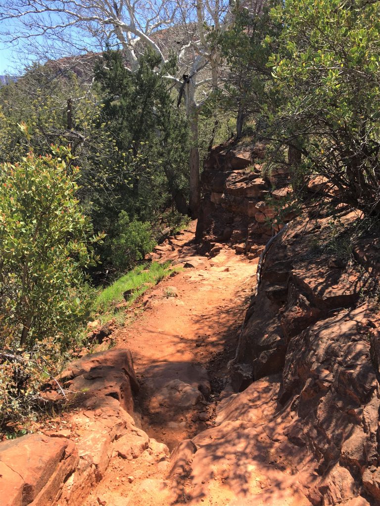
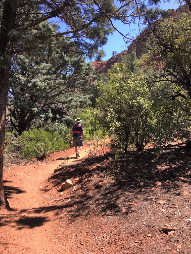
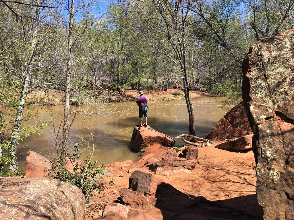
We could tell by the plants and trees.
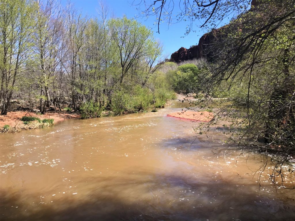
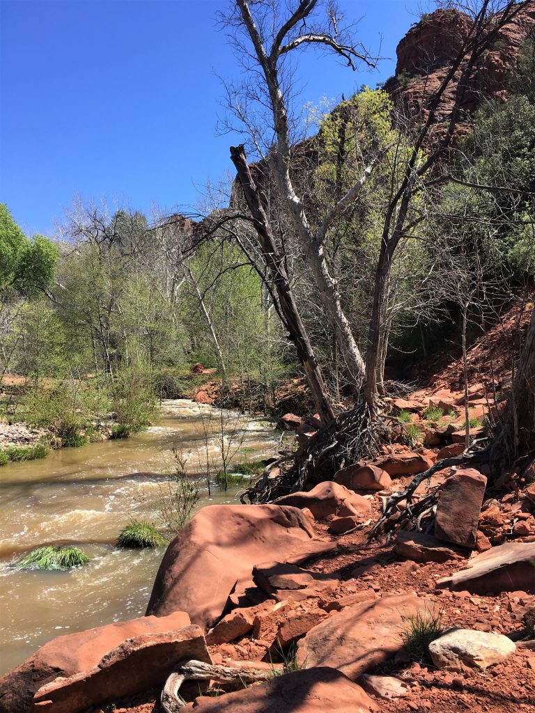
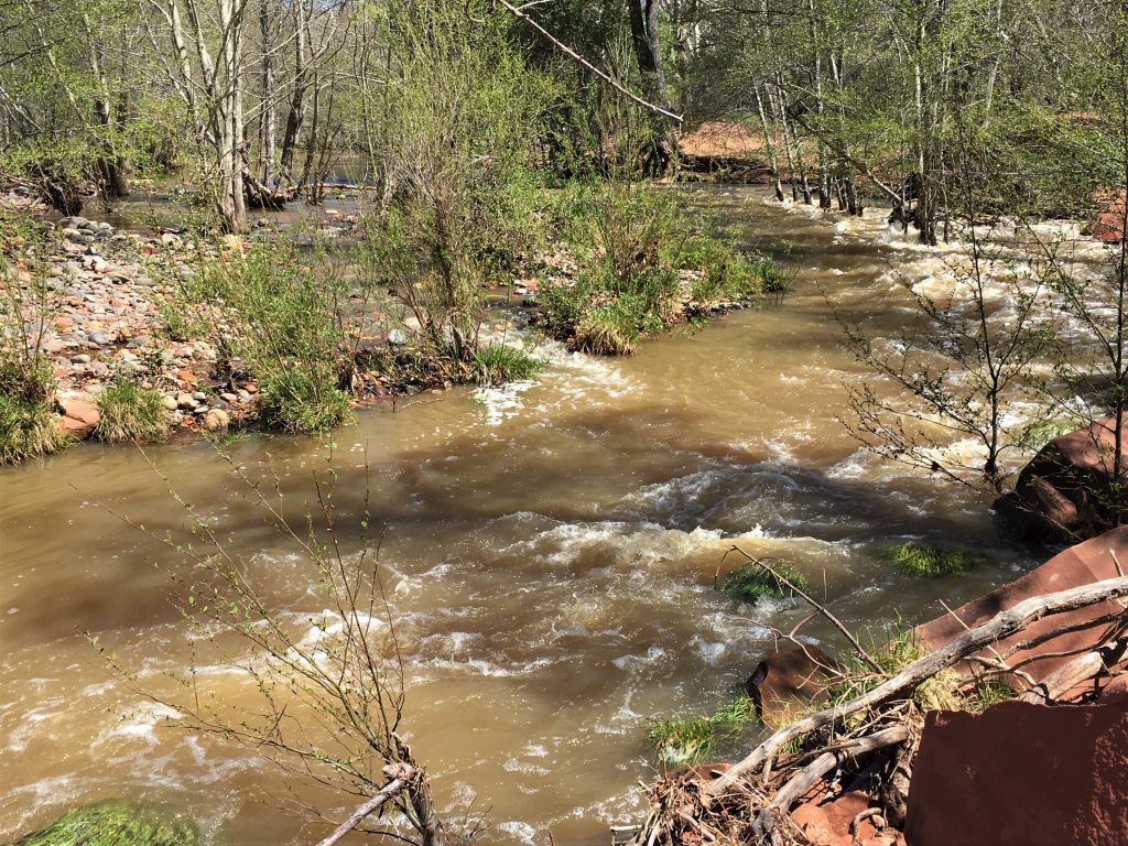
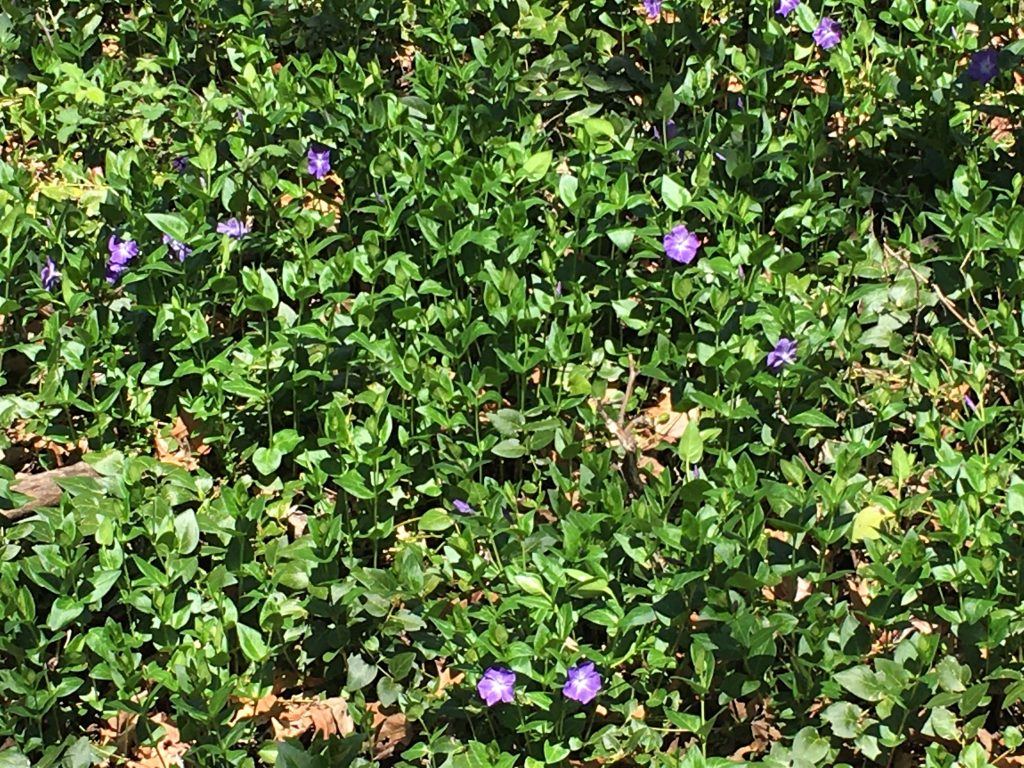

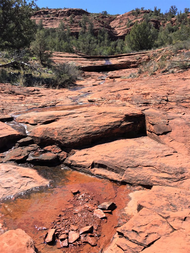
Even with splashes of red rock mud on them.
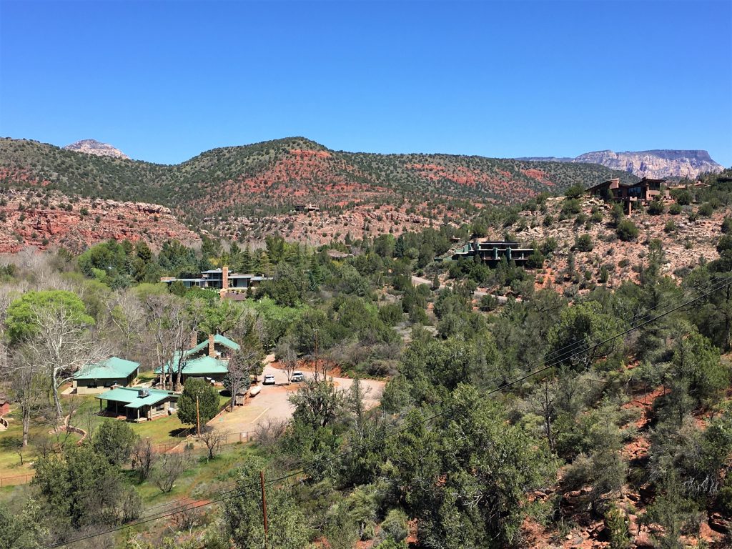
They look expensive, and with the views they have, they probably are.
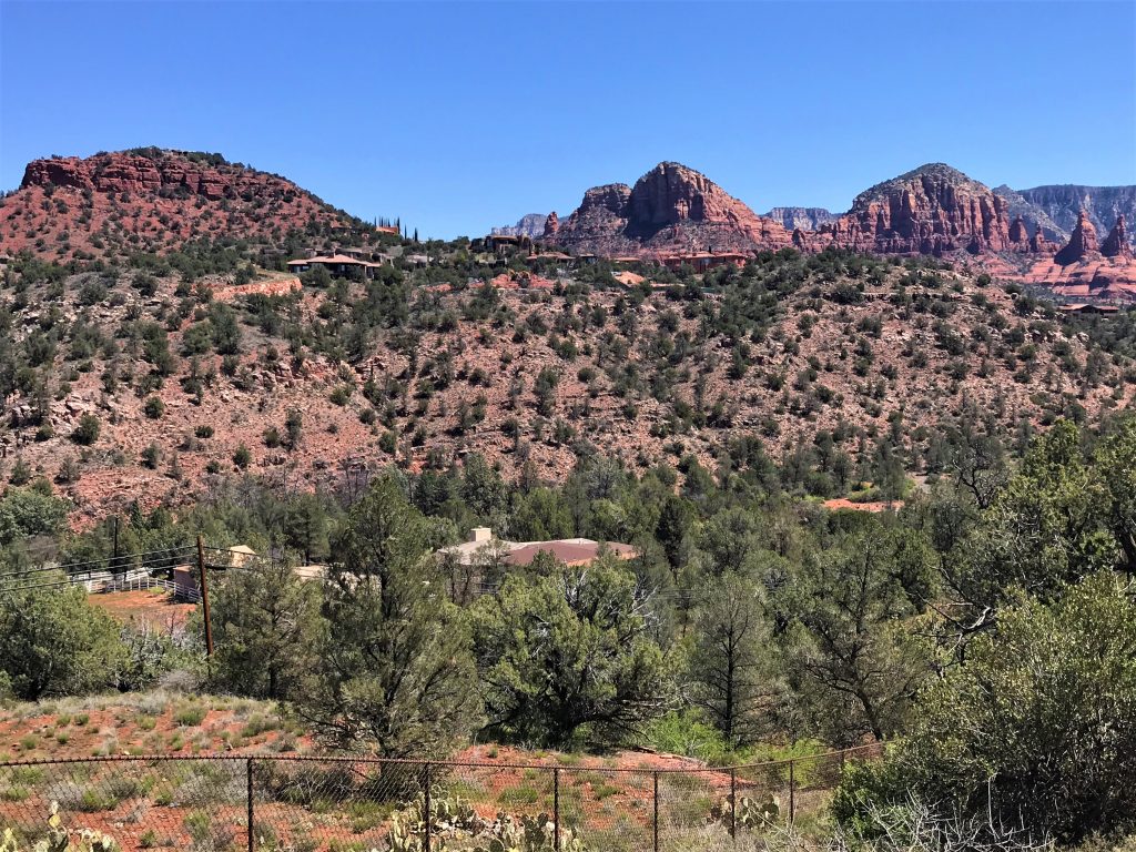
Also, in the middle of the houses, you can see they’re building a new house (zoom in).
Feel bad for the people living behind them, because they’re most likely about to lose their view.
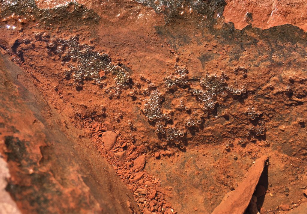
My creative photography. 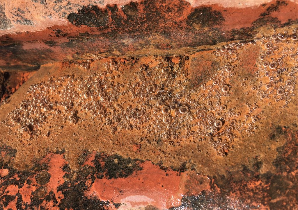
Wanna take a guess what it is?
The answer? Air bubbles under water! Congratulations if you got it right!
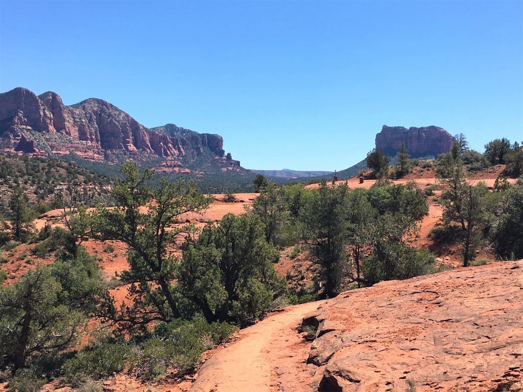
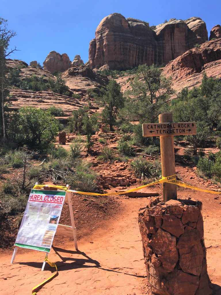
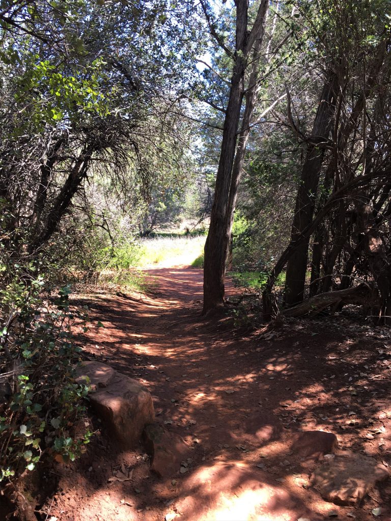
Actually, this is about the middle of that trail.
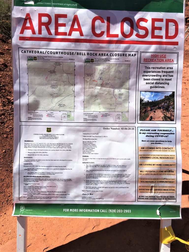
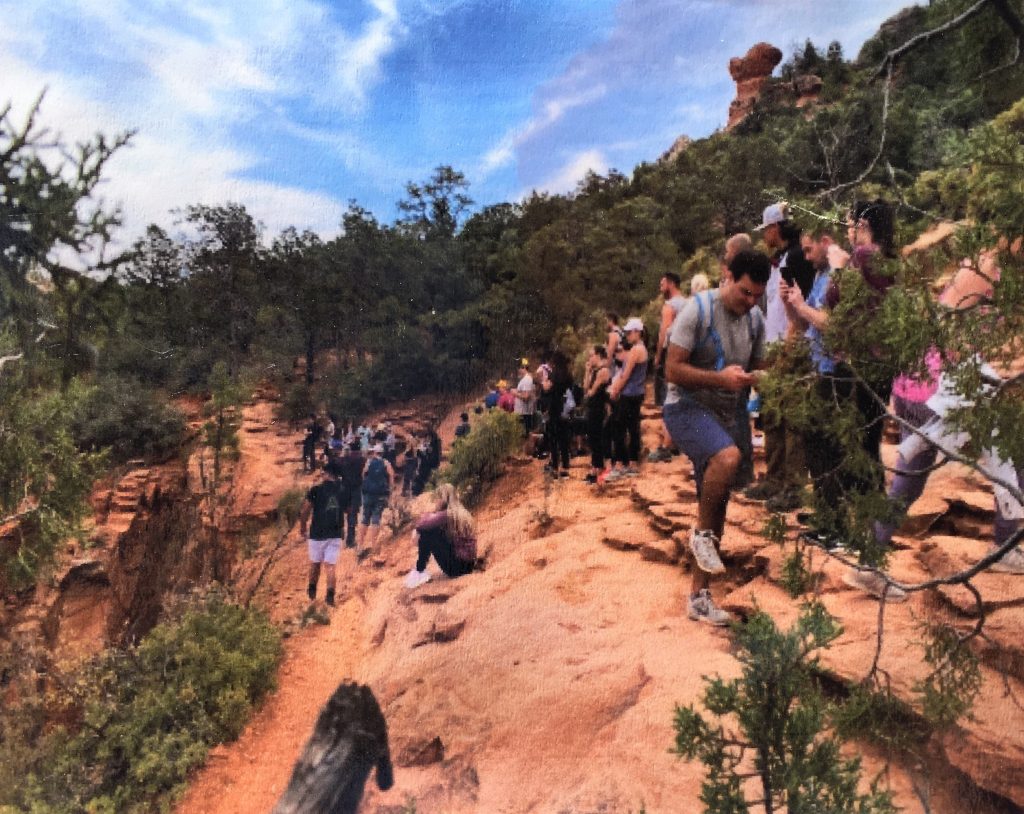
Ruined it for the rest of us . . . . : (
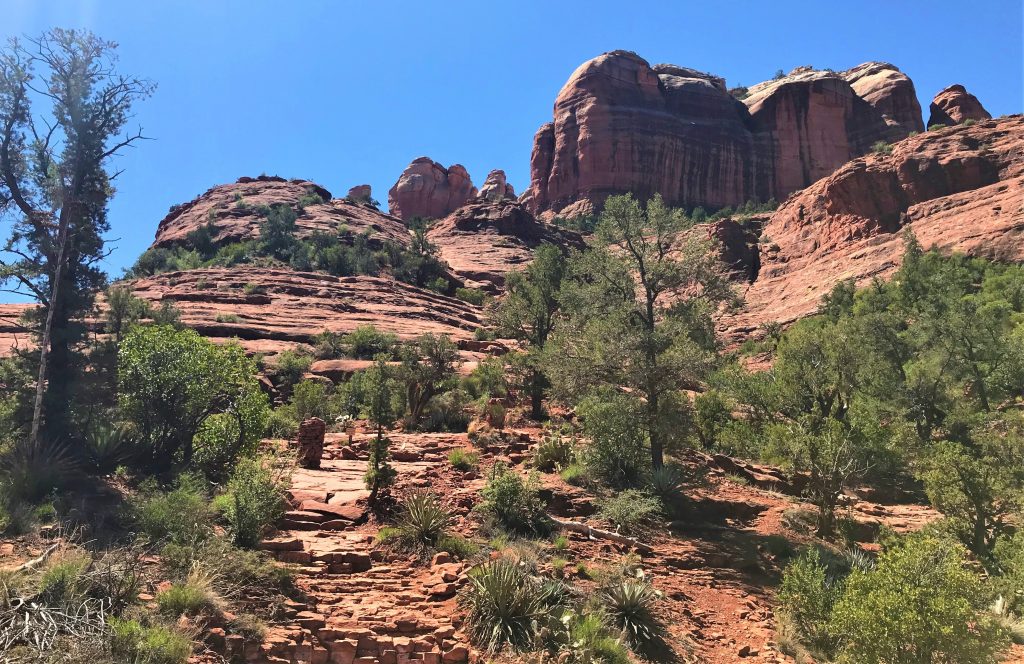
Surprising, because it’s a really nice trail, and pretty flat, so it’s easy.
Maybe it doesn’t get you close enough to the Vortex . . .
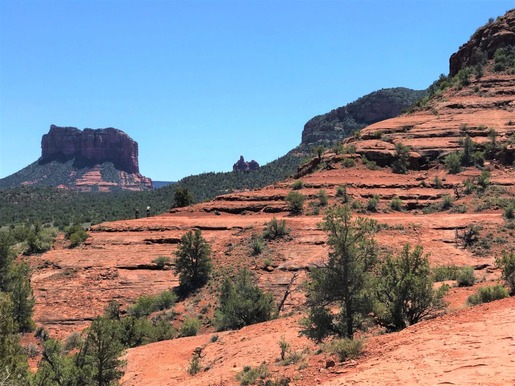
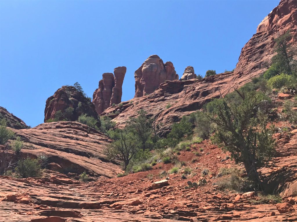
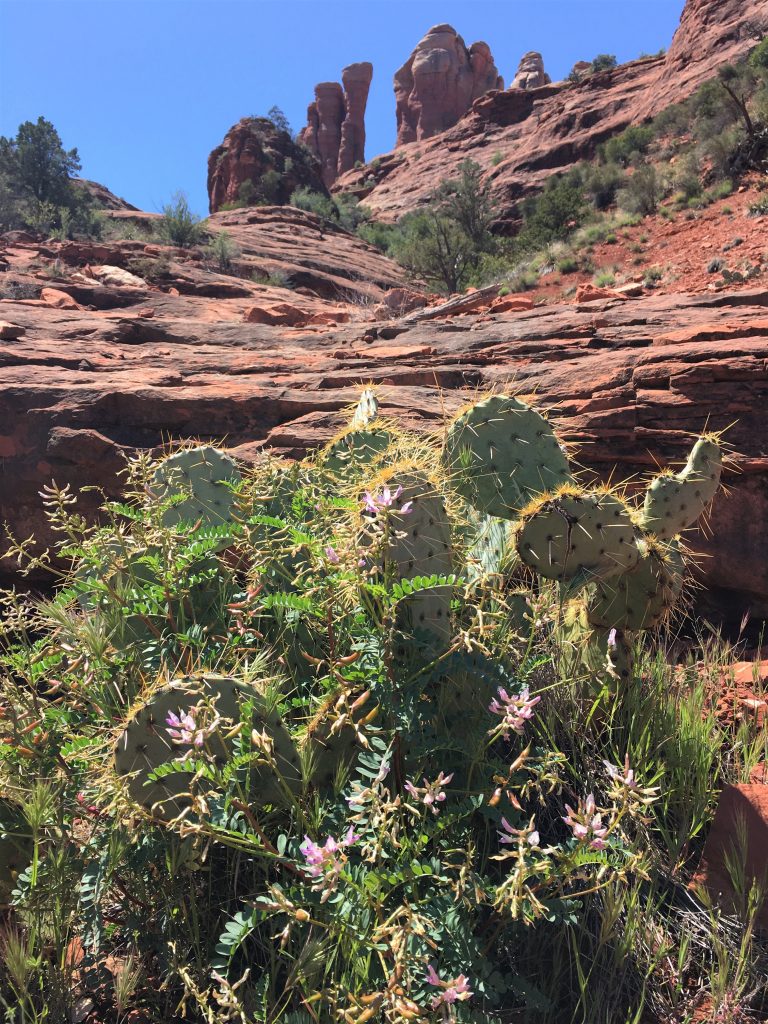
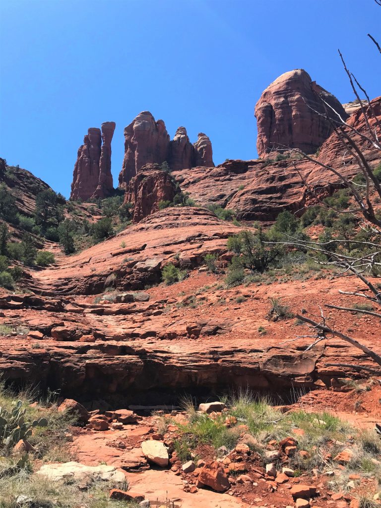
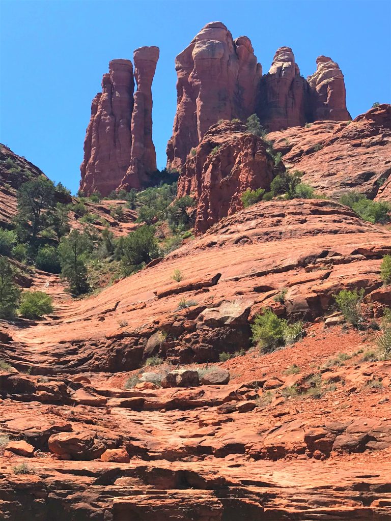
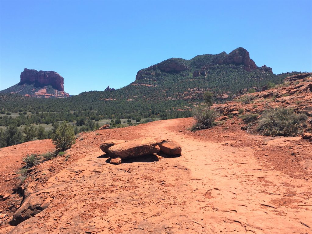
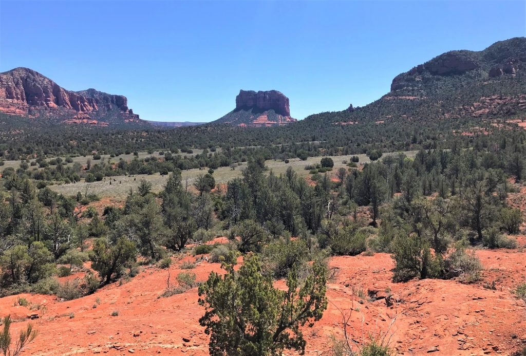
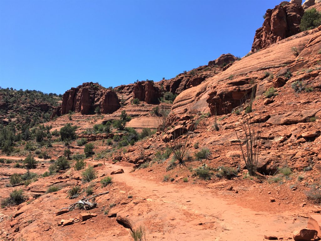
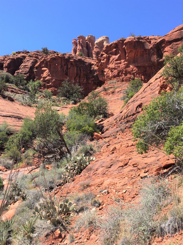
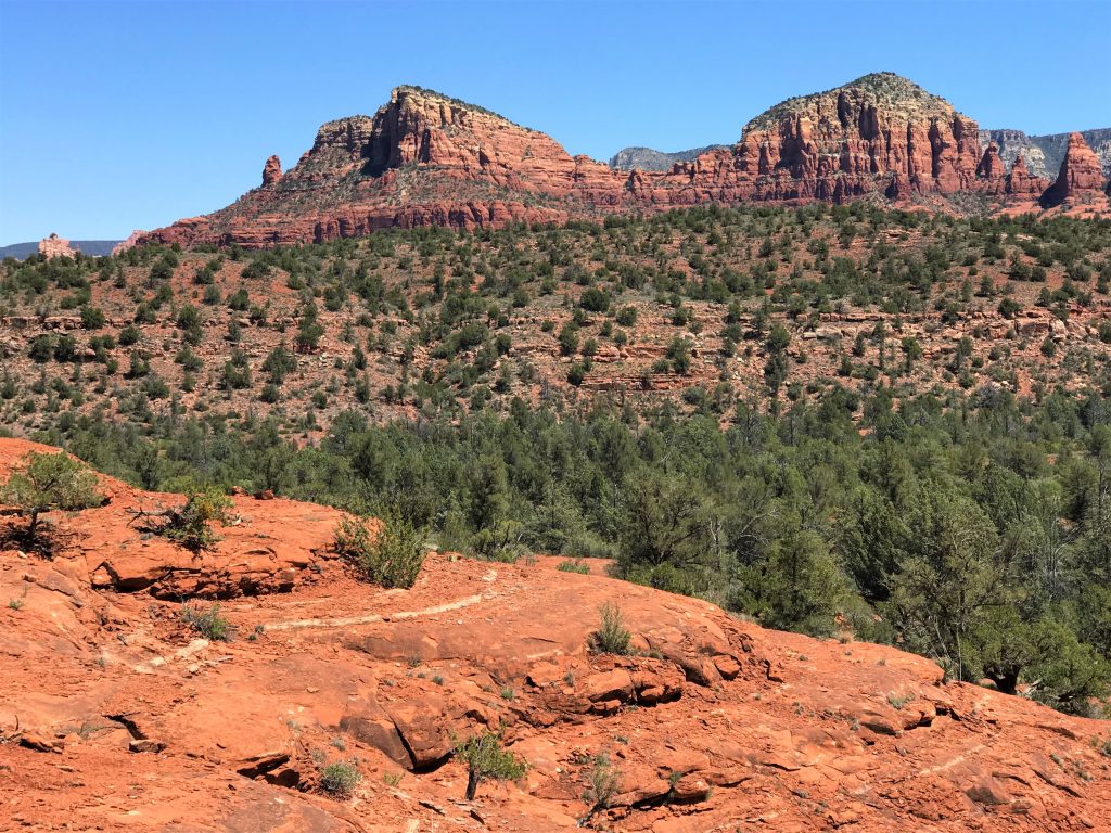
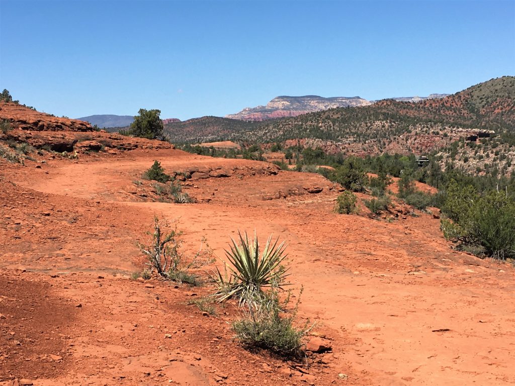
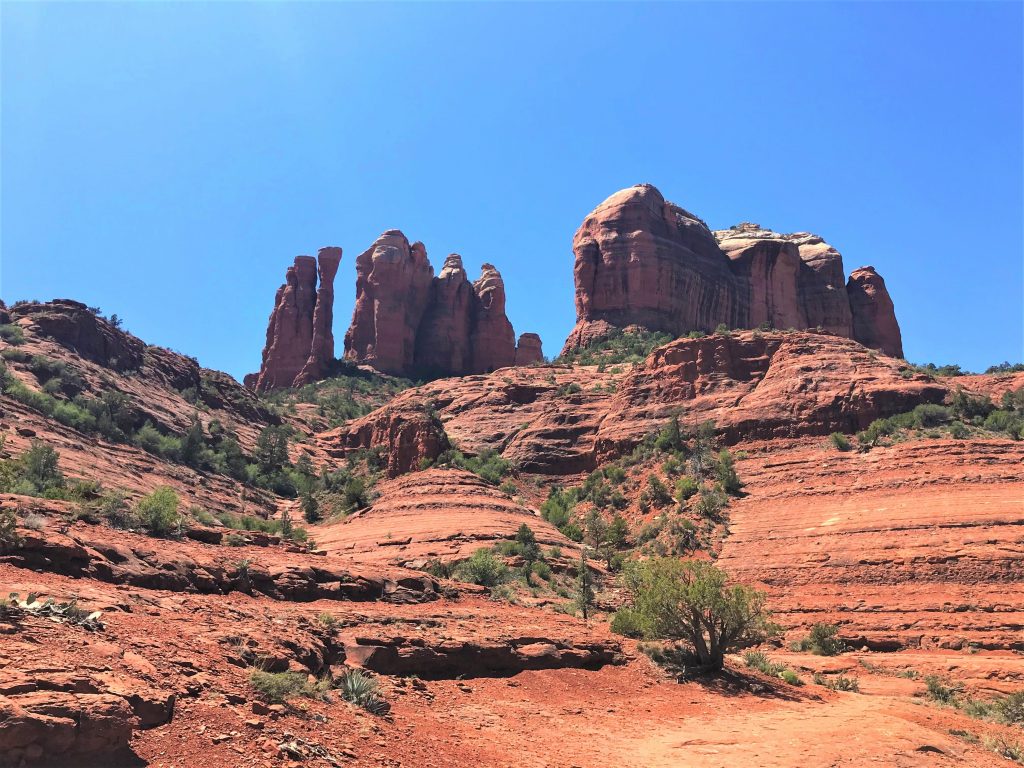
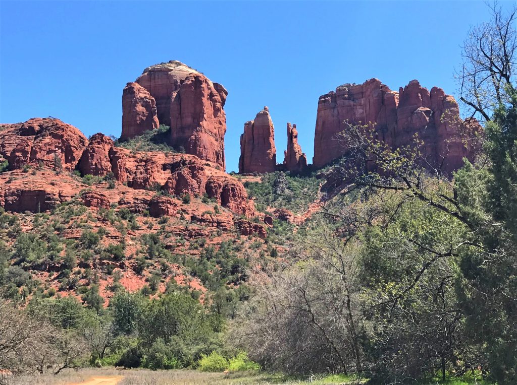
Not sure how far we went, but we walked Templeton until we couldn’t spot Cathedral Rock anymore, then turned around and went back. In truth, we didn’t complete either trail. 😊
Then there was a scenic drive over to our next destination, and a quick stop to see the iconic Chapel of the Holy Cross, which was as we expected, closed. But we were still able to get a picture of the outside. I’ll bet the neighbors here are kinda glad it’s closed because according to the Chapel’s website, this place sees several million visitors each year.
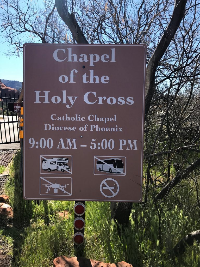
It was inspired and commissioned by local rancher and sculptor Marguerite Brunswig Staude. In 1932, she was inspired by the construction of the Empire State Building. She initially attempted to build the church in Budapest, Hungary with the help of Lloyd Wright, son of architect Frank Lloyd Wright. However, the idea was scraped due to the outbreak of WWII. She then decided to build the church in her native homeland of Arizona. It actually sits on Coconino National Forest land, with a special-use permit obtained with the assistance of the late Senator Barry Goldwater. It’s built to a twin pinnacled spur, about 250’ high and juts out of a 1,000’ rock wall that’s “solid as the rock of Peter”. It was completed in April, 1956 after 18 months of work at a cost of $300,000.
It consists of a small chapel and a gift shop, and there is to be strict silence in the Chapel and surrounding patio. There’s also no eating, drinking or pets.
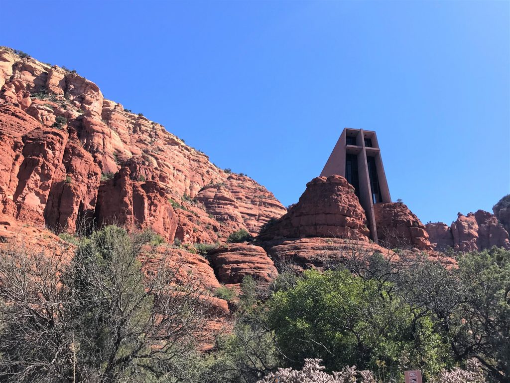
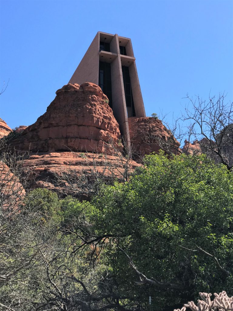

This is the entrance to the Chapel, and it’s at the top of the cross out front.
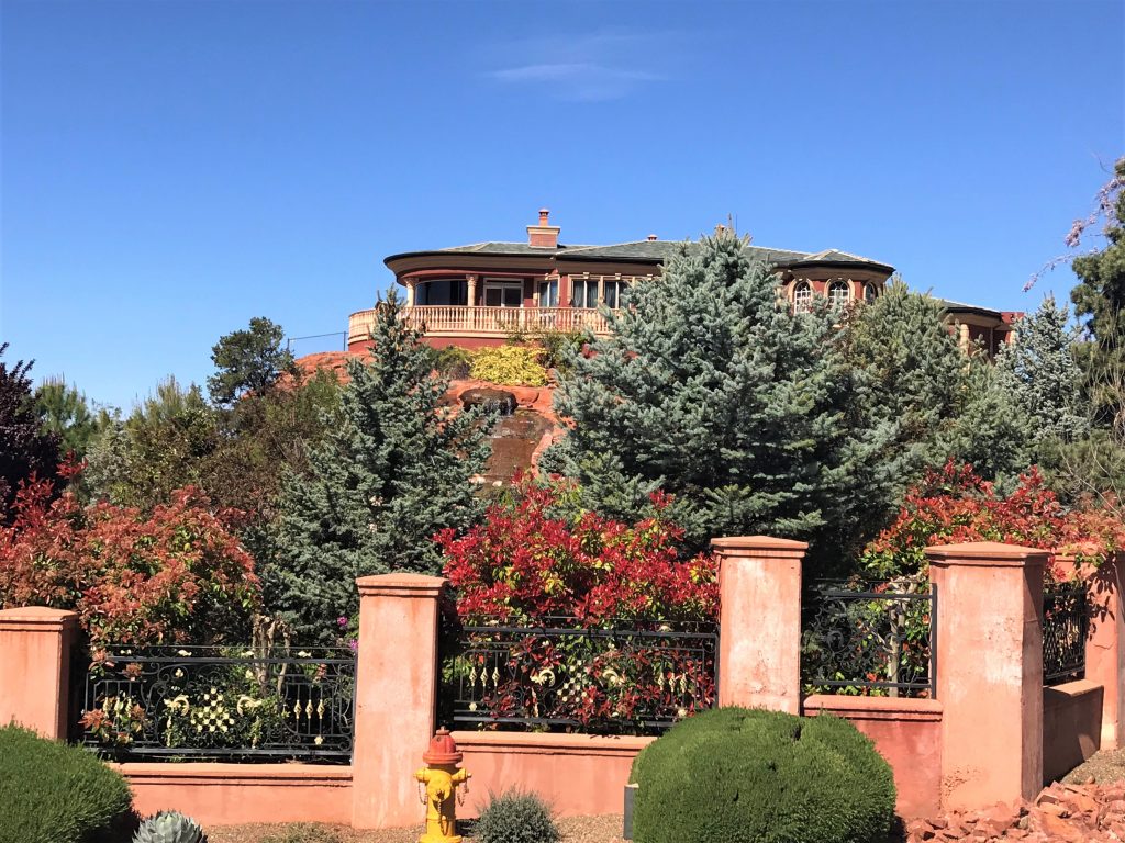
During our drive, we also came upon the ‘spaceship’ house! Looks just as strange up close. And I’m not sure I would feel safe living in it, with it’s visible supports. They just don’t look particularly secure to me. A pier, sure. But my house? I don’t think so.
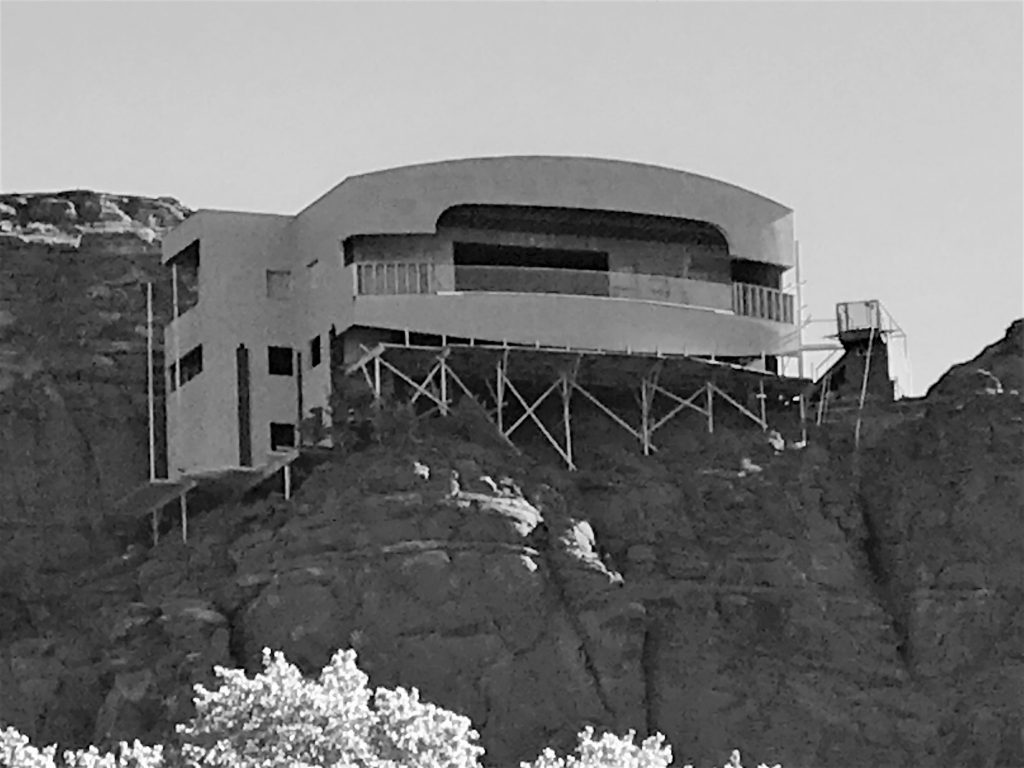
It turned out pretty good!
Scary looking!!!
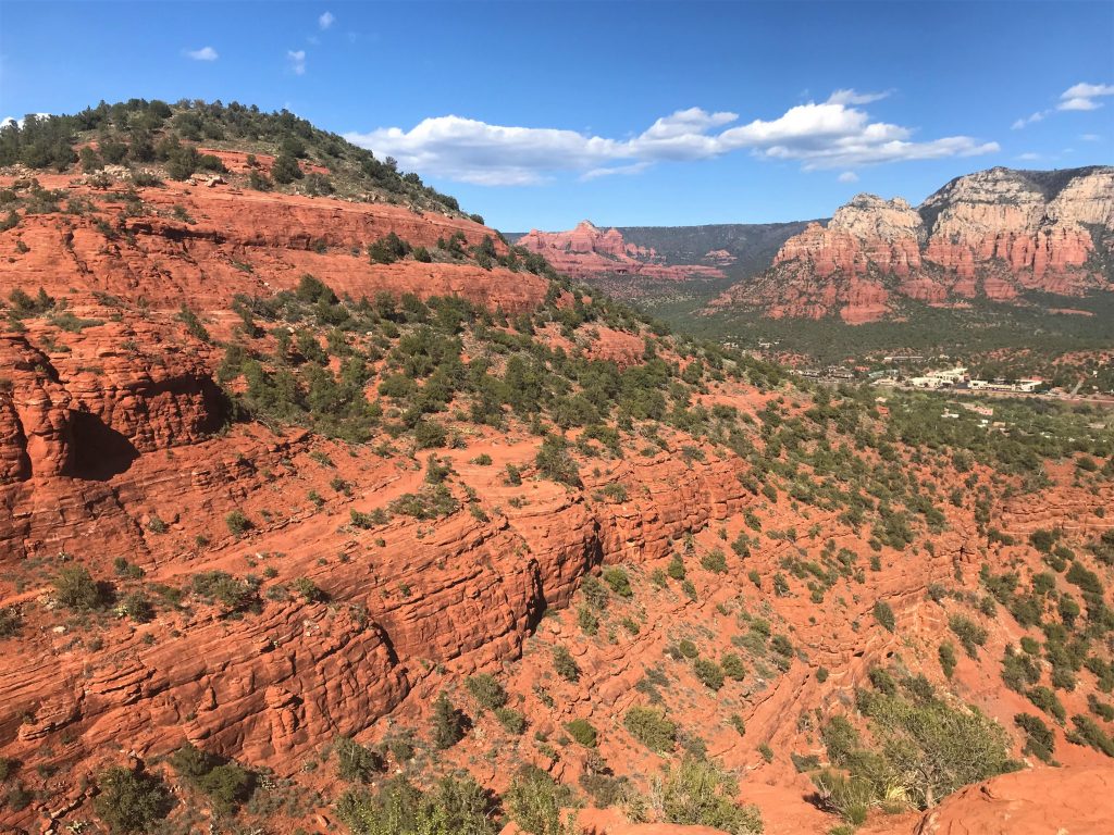
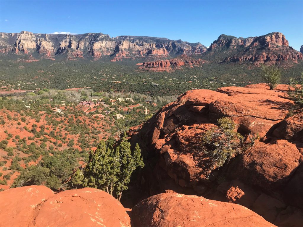
There’s a mesa similar to Doe Mountain (only larger) that houses Sedona’s airport (completed in 1955). And there’s a 3.2-mile trail that circles the mesa a little lower than the runway. Certainly a different type of trail, but as long as there’s no air traffic, it’s not much different than other trails. And right now, there’s not much air traffic. In fact, we didn’t see a single plane the entire time.
But it’s not the easy trail they advertise either. I think the elderly couple we encountered walking the opposite direction would agree. They seemed to be having some difficulty and were anxious for it to be over. We felt bad for them. But I’m thinking they started out and then turned around when it became apparent it wasn’t going to get any easier.
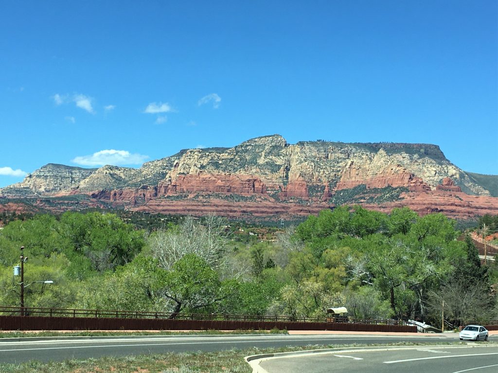
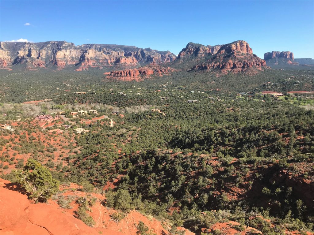
How many parking lots have views like that!
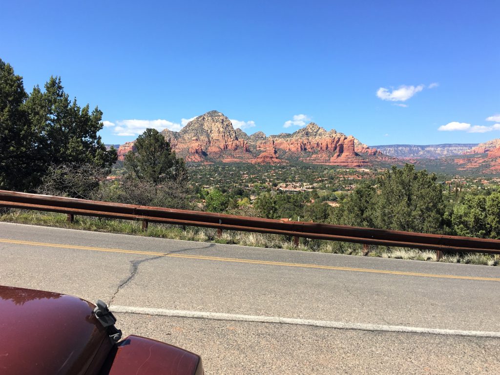
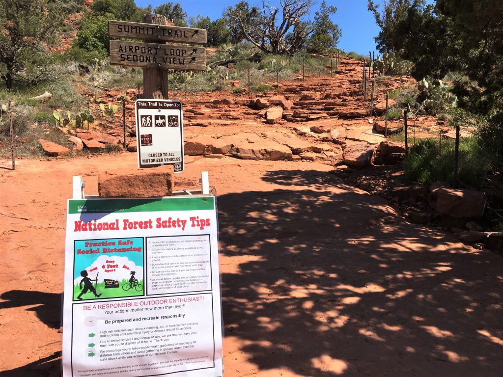
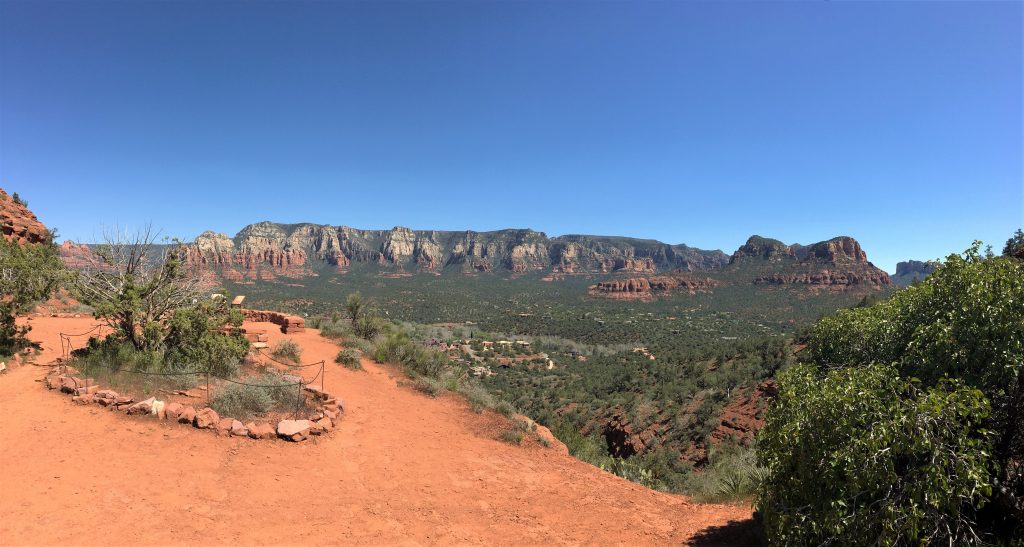
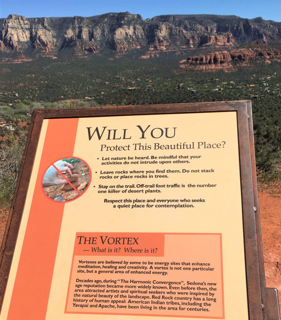
We do that all the time, once a tower is started!
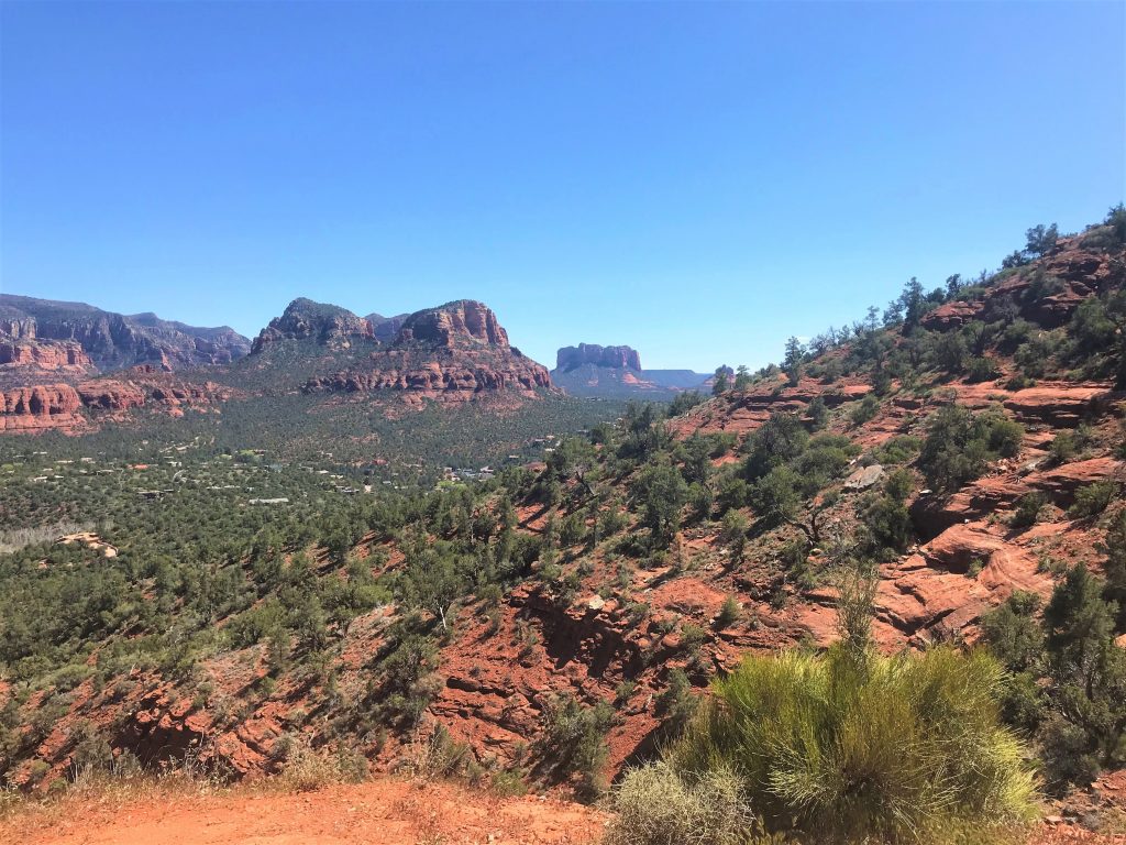
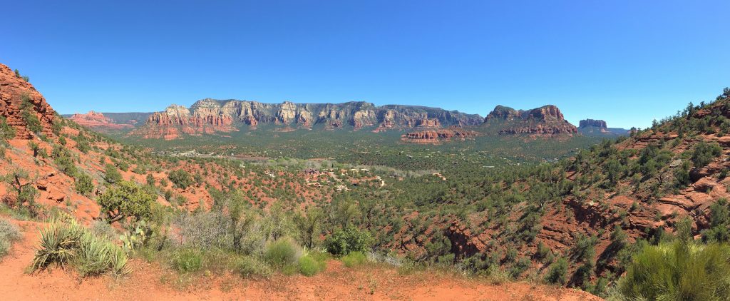
We really need to take these to show what we’re looking at!
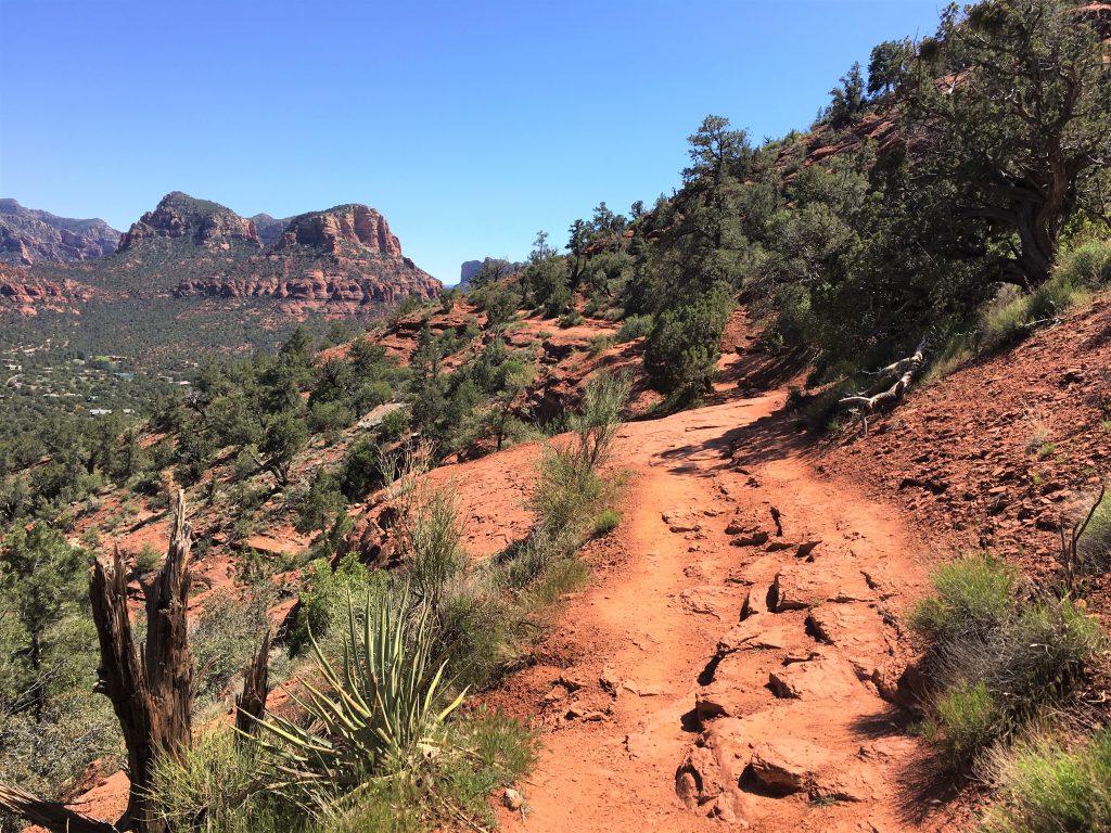
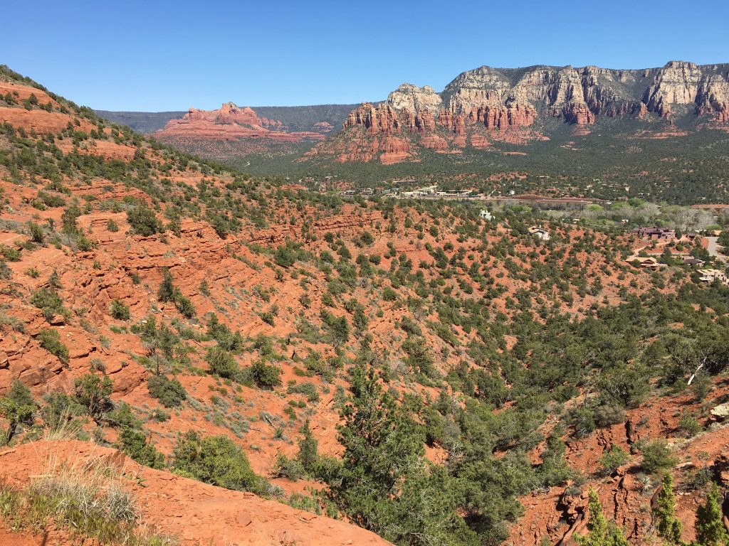
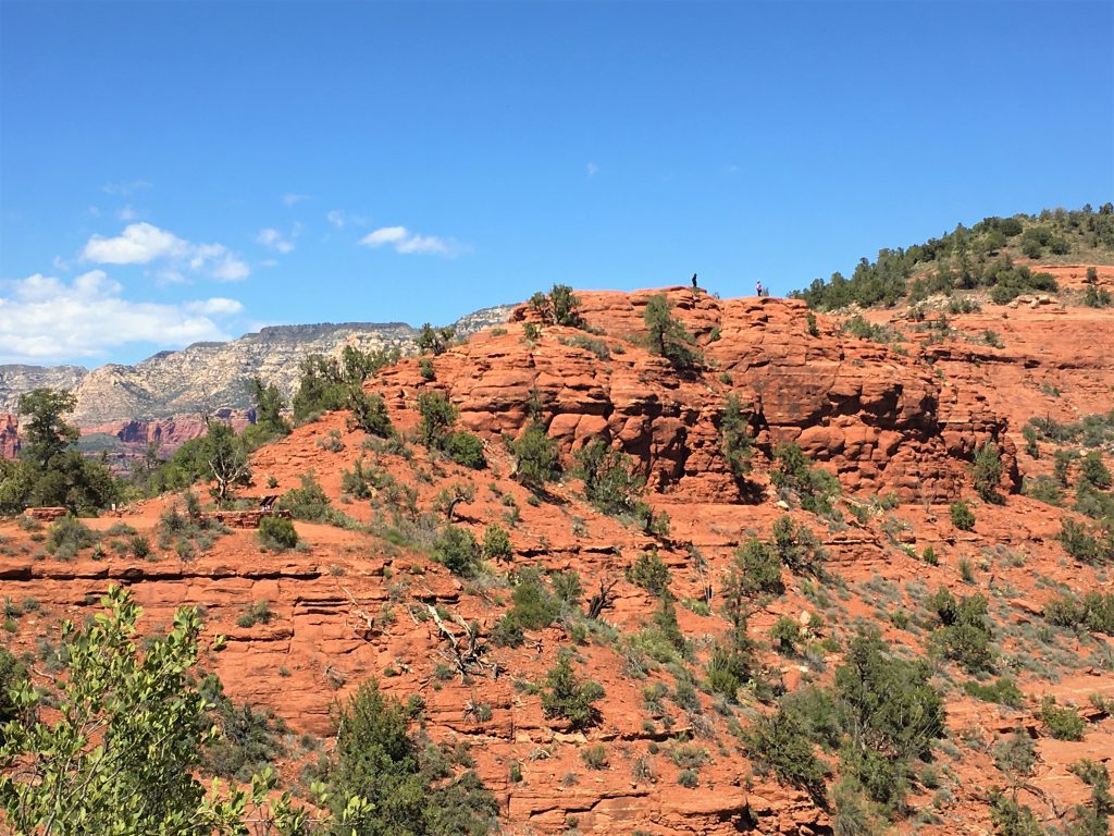
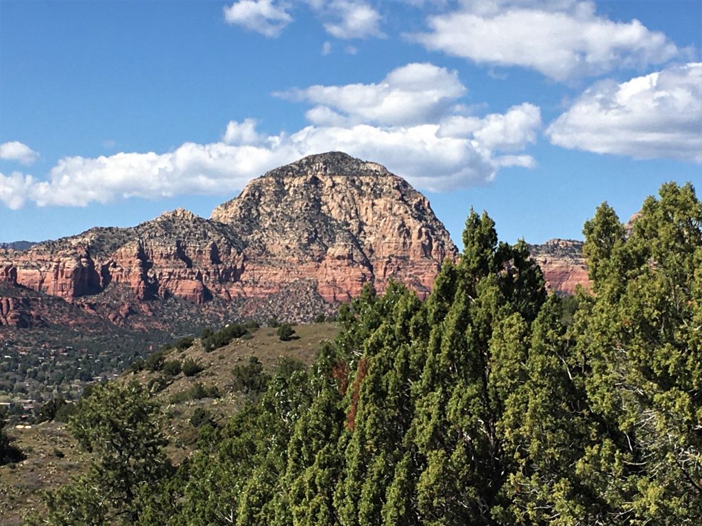
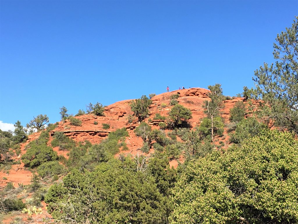
That’s the Summit.
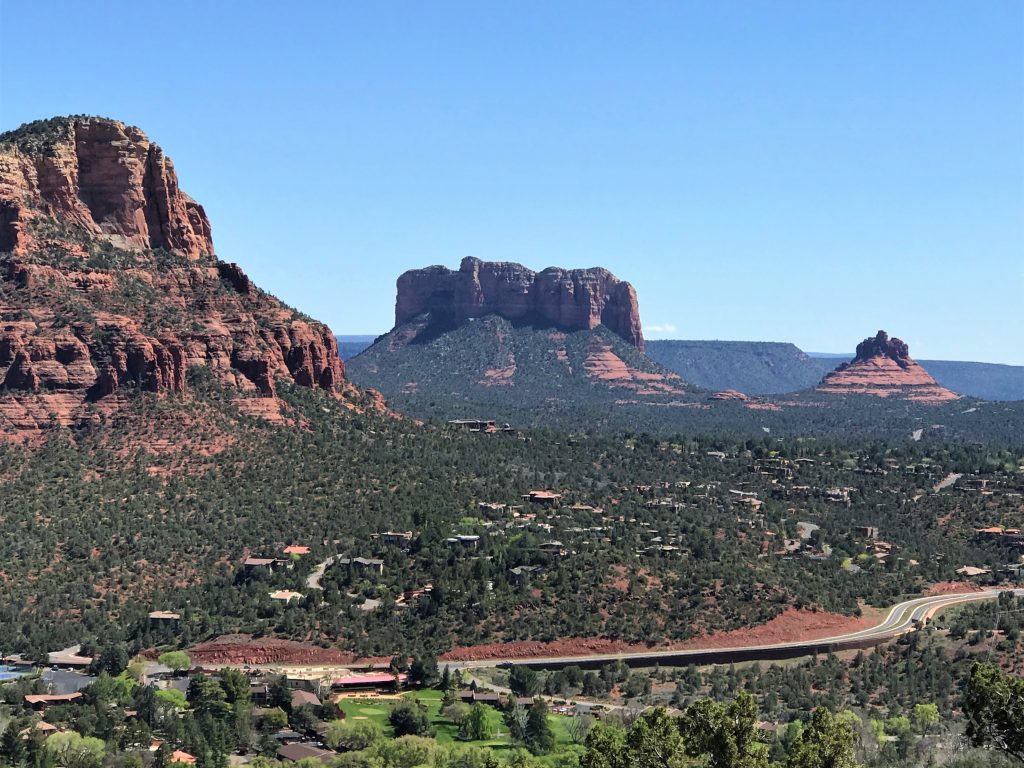
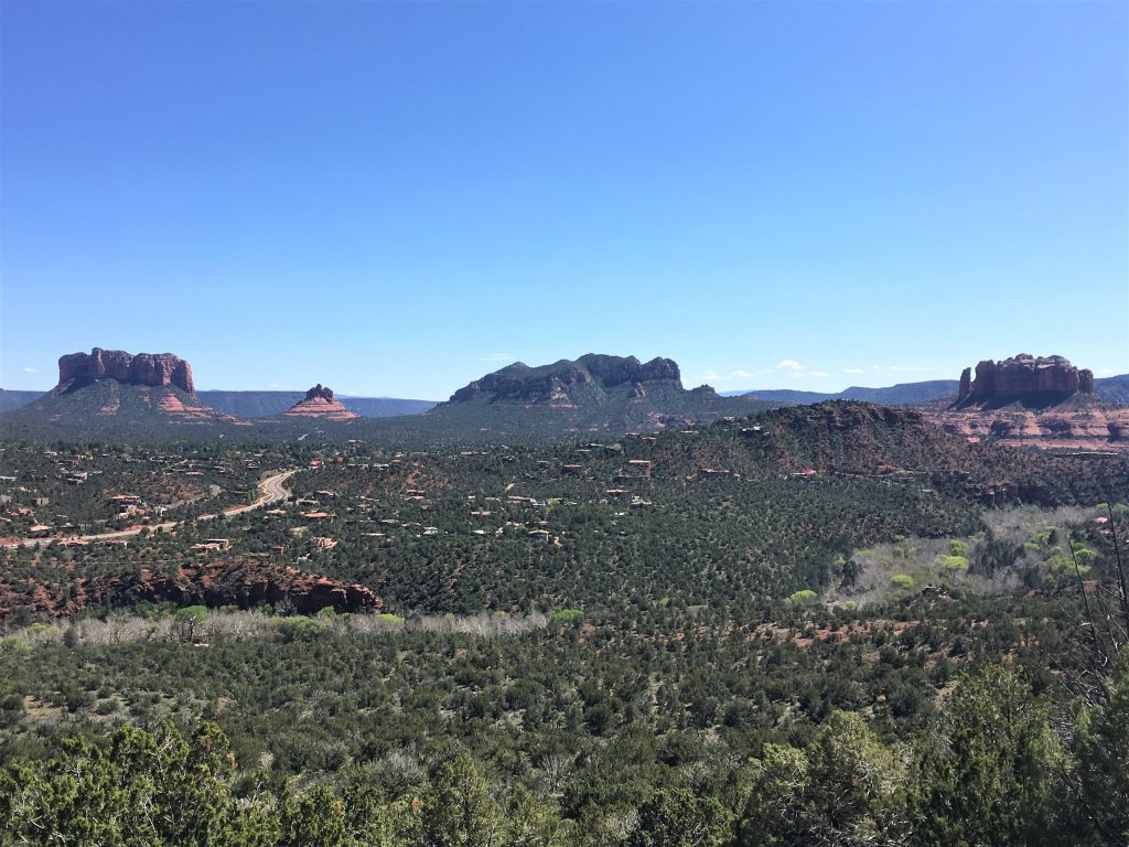
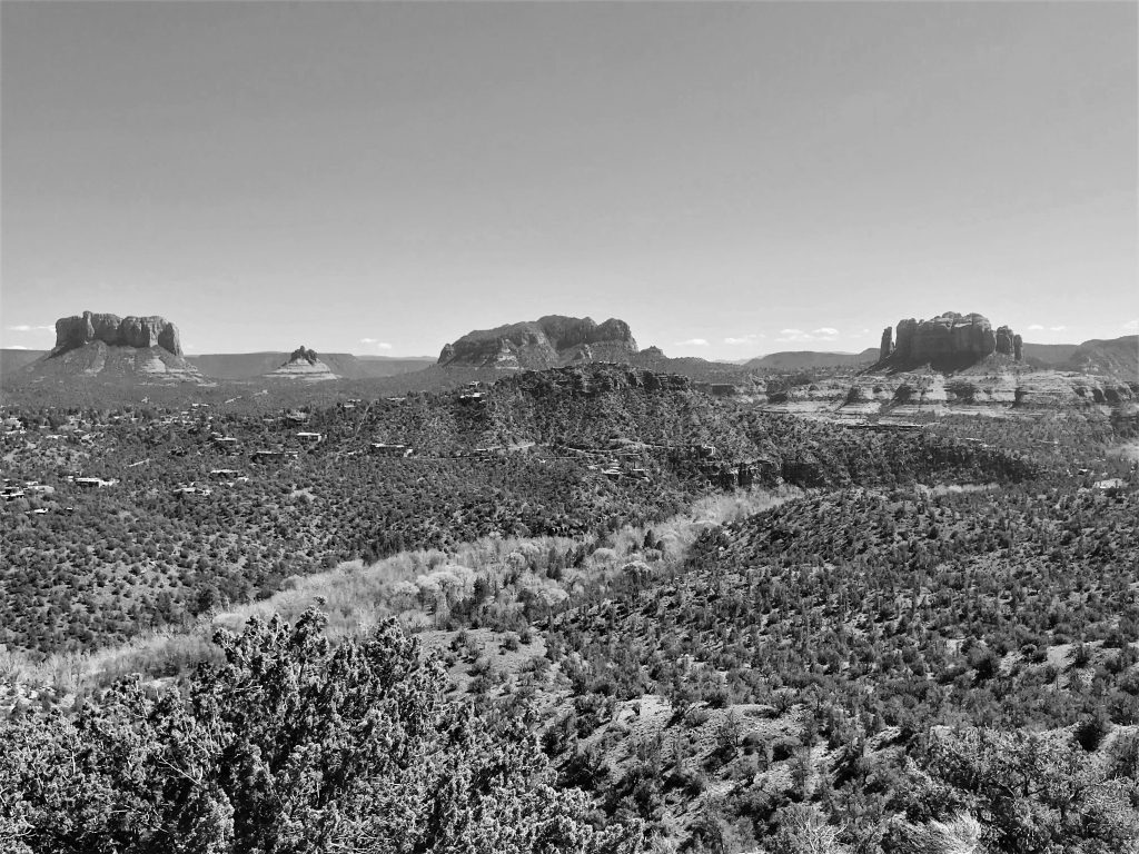
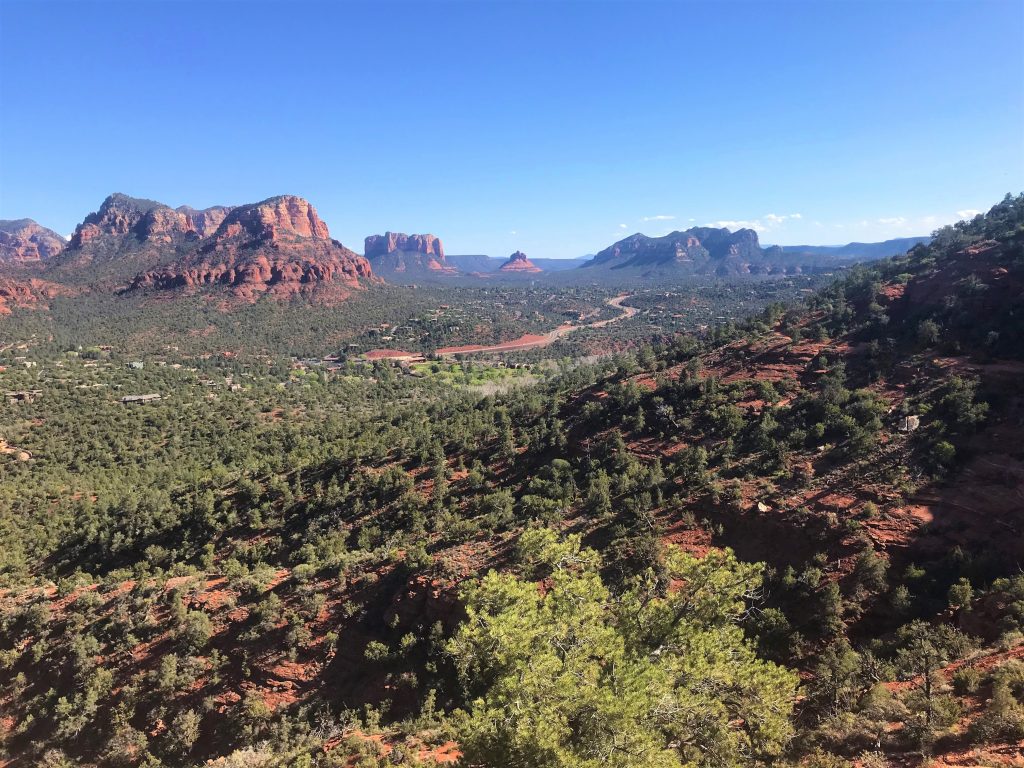
Courthouse Butte, Bell Rock, don’t know, Cathedral Rock
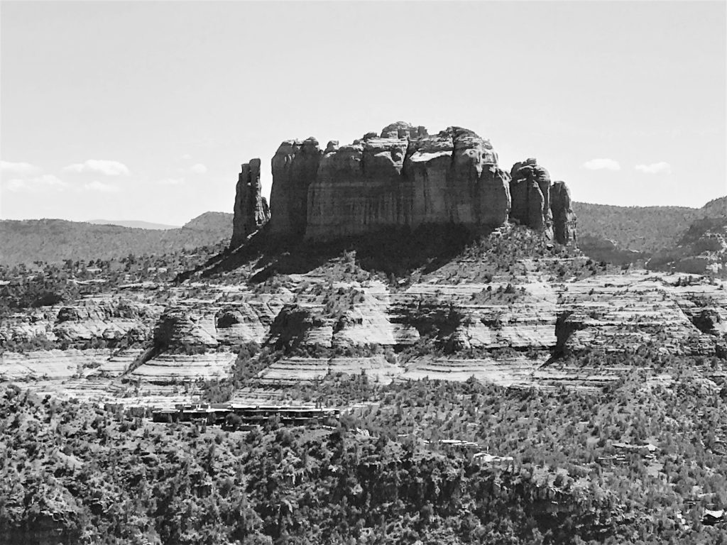
I learned today that you can either delete the picture, or transform it!

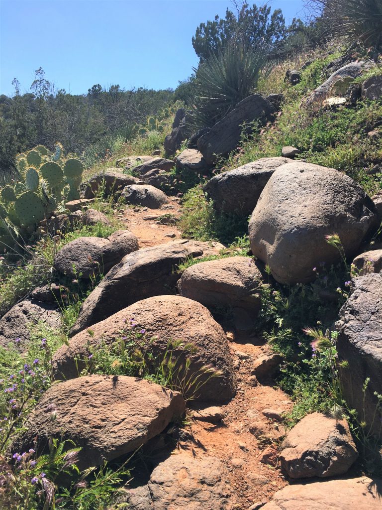
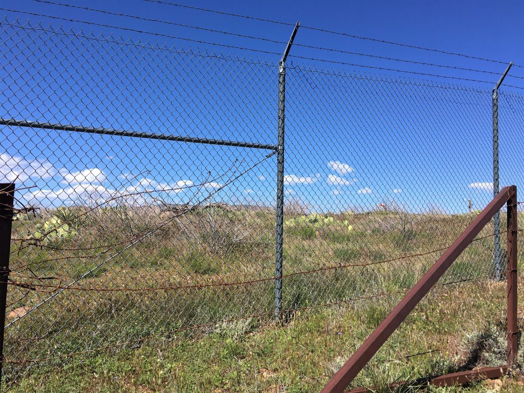
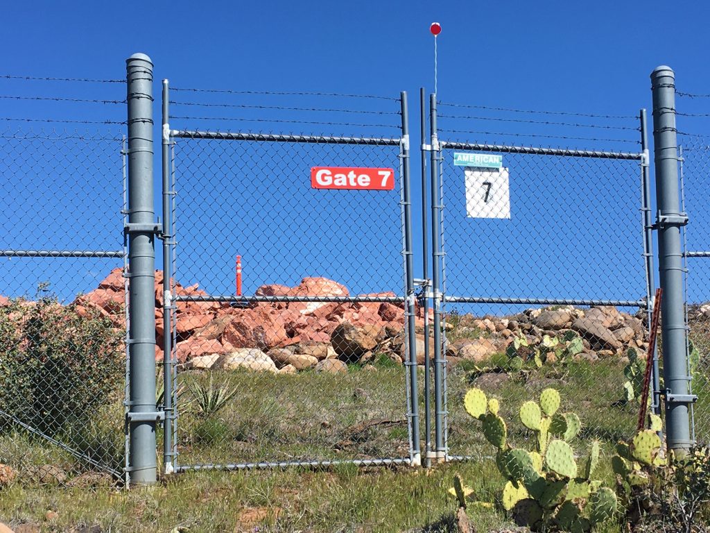
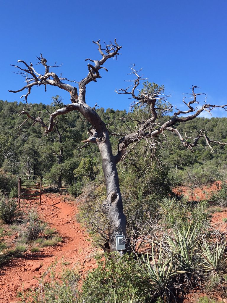
Gates for what, we couldn’t say.
“Now bording at Gate 7” . . . . ??
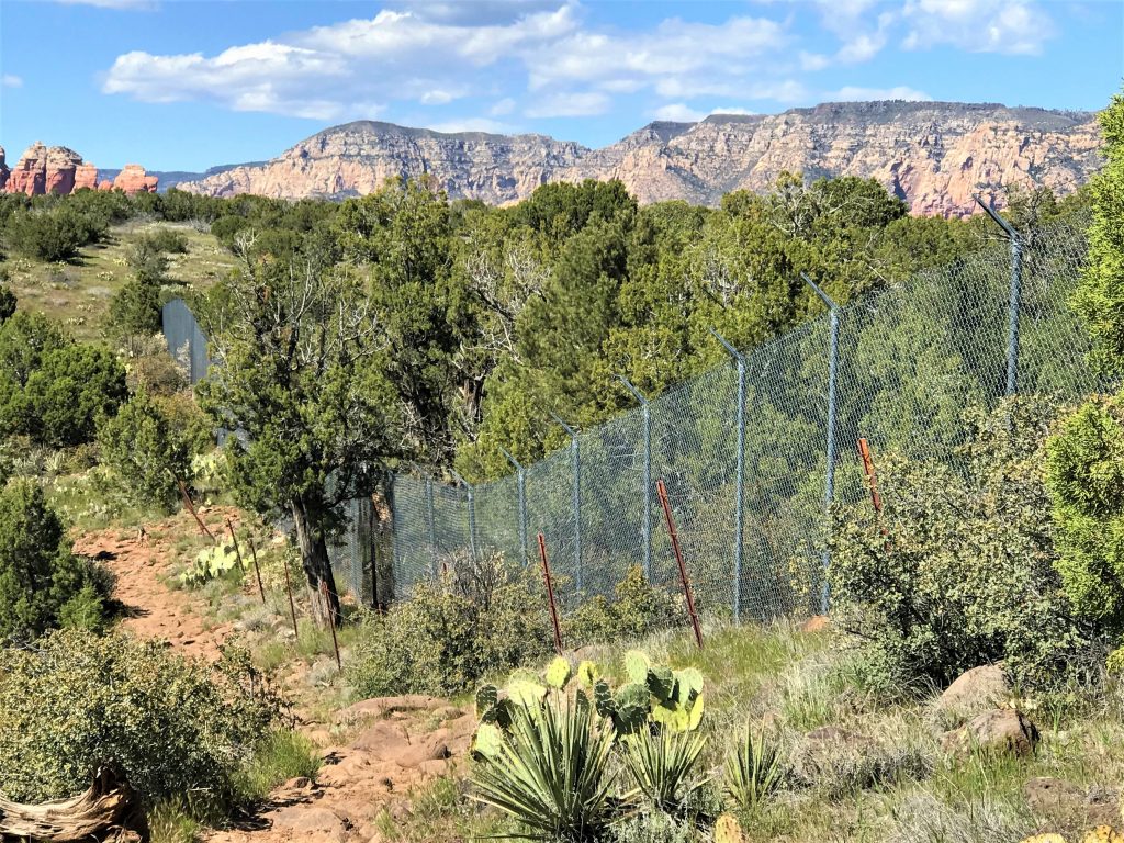
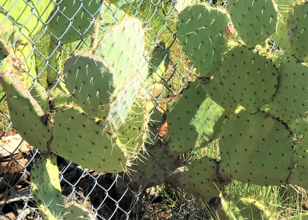
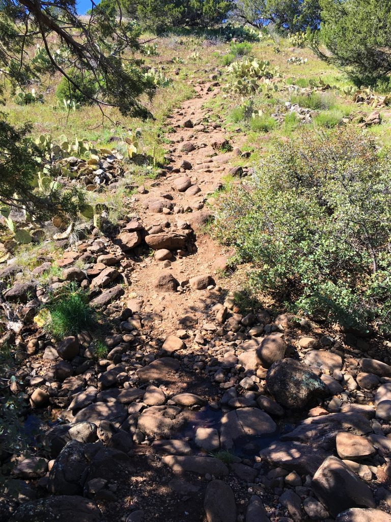
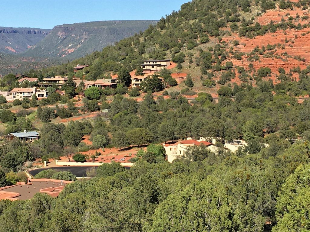
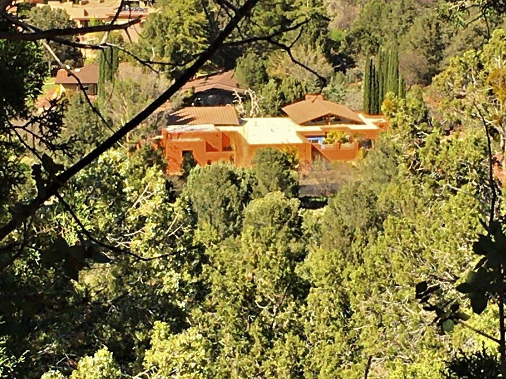
That house was an ugly orange-rind color.
Normally, I like that color, but on the house, it looked absolutely awful!
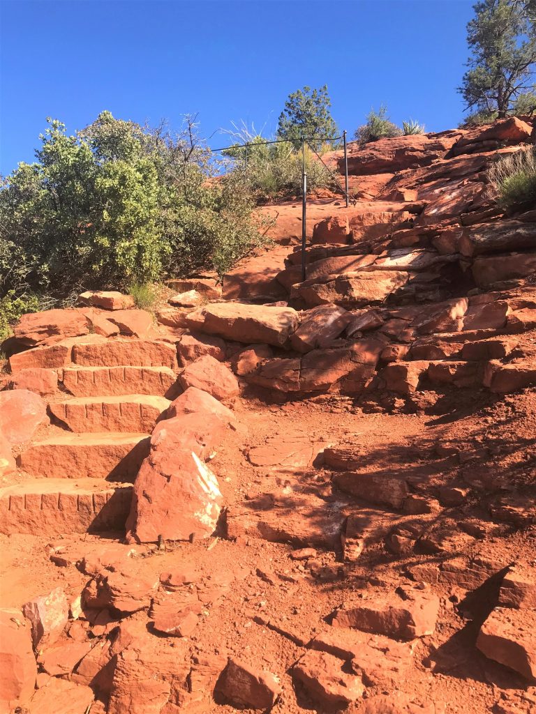
By the time we finished the Loop, I was done. However, Blaine still had a few steps left in him, so he deposited me at the Jeep and climbed to the Summit Overlook.
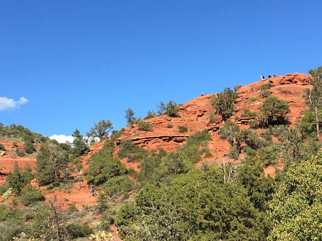
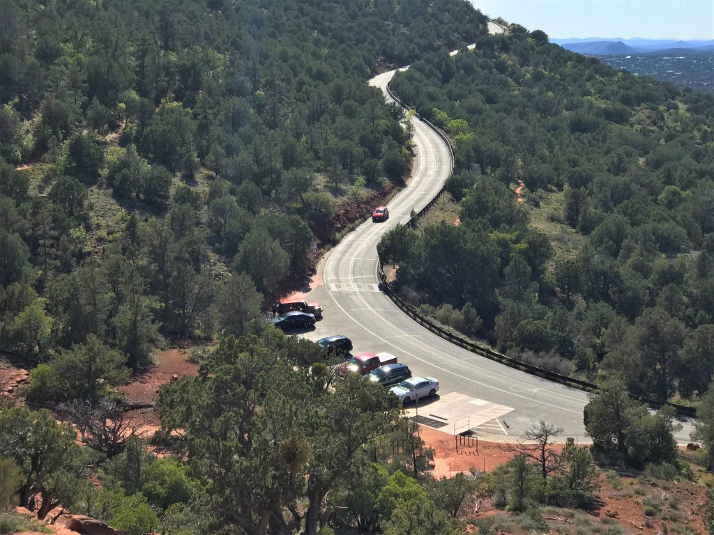
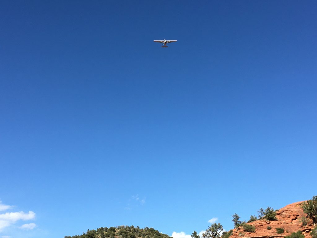
A plane flew over the parking lot on it’s way to land while I was waiting for Blaine.
