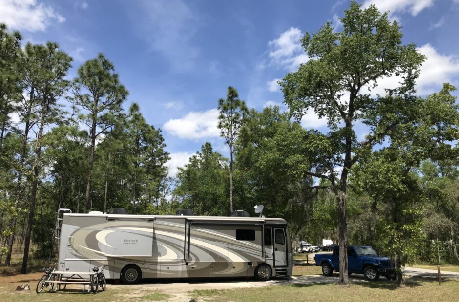
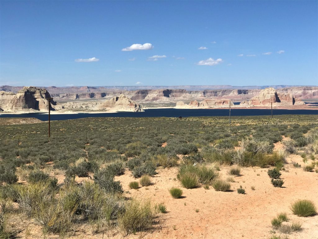
Wahweap RV, Lake Powell Marina, Page Arizona
Like a city whose walls are broken down is a man who lacks self-control. ~ Proverbs 25:28
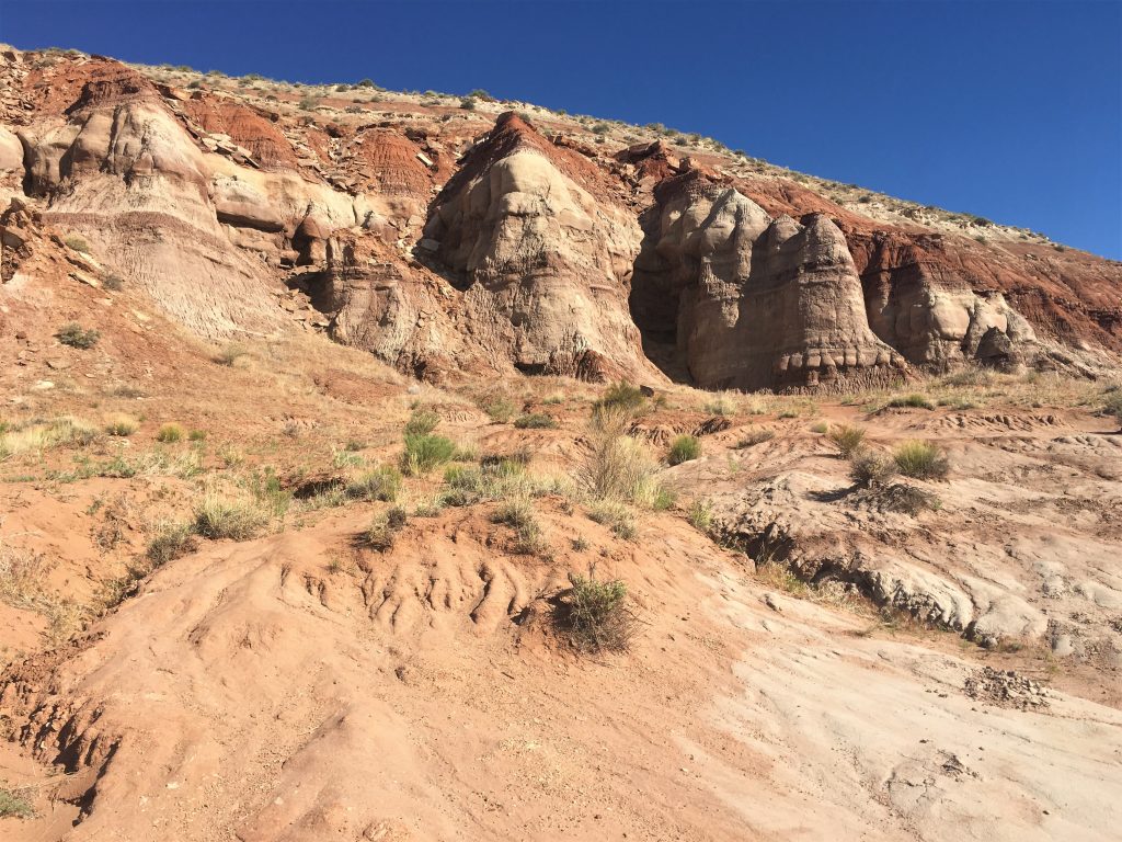
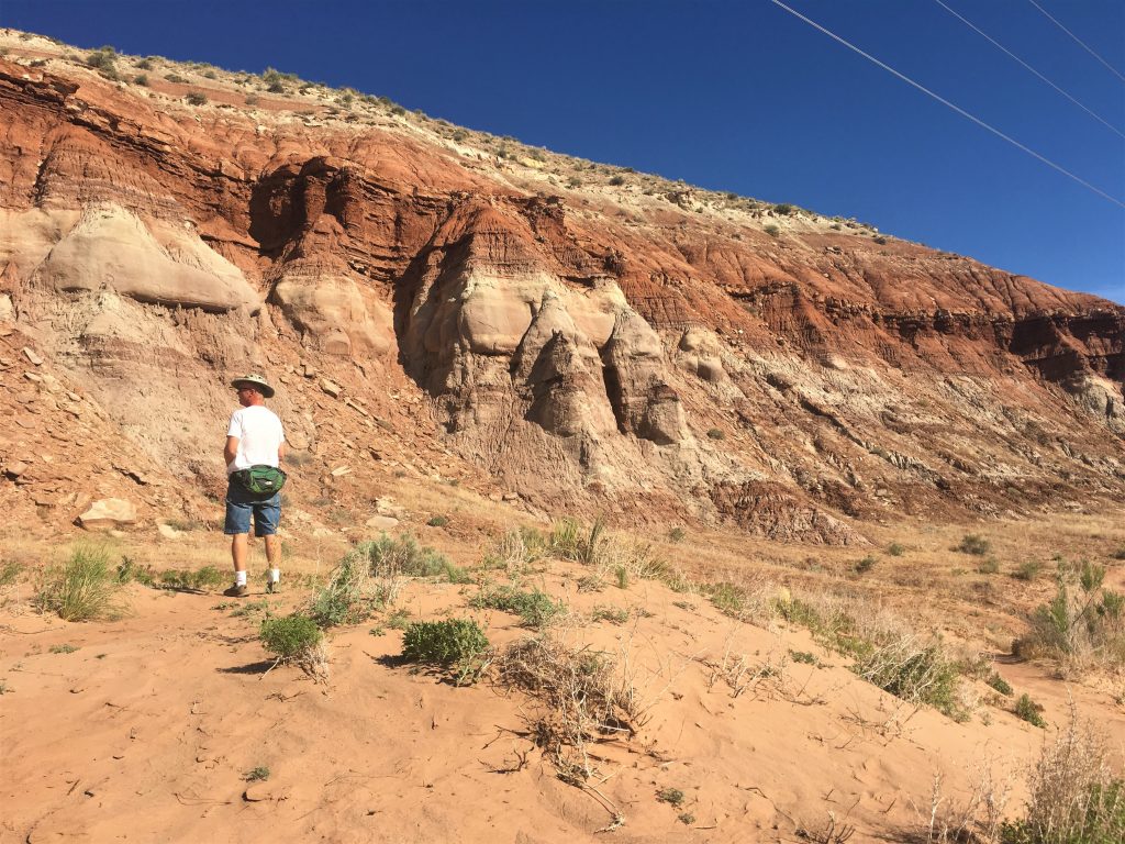
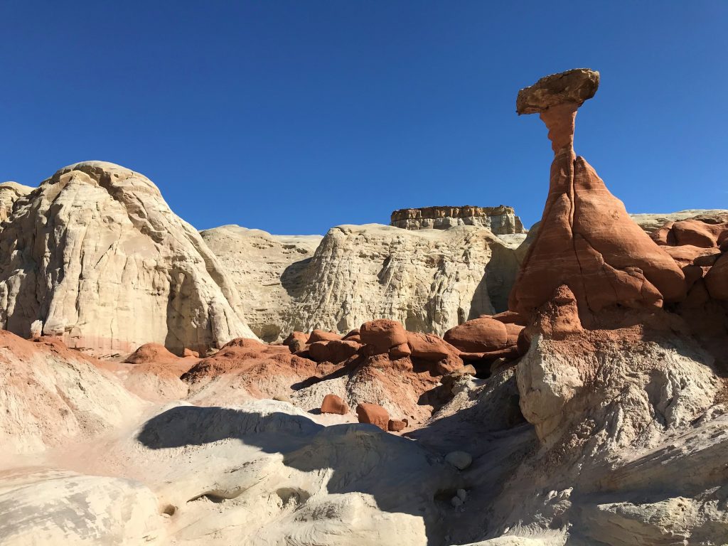
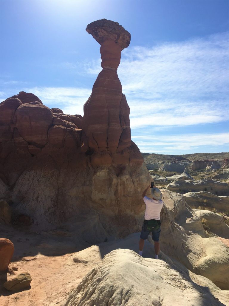
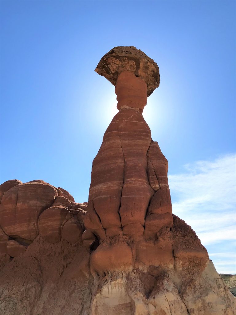
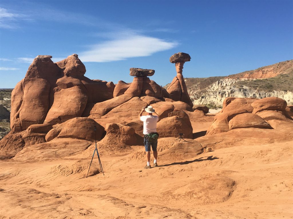
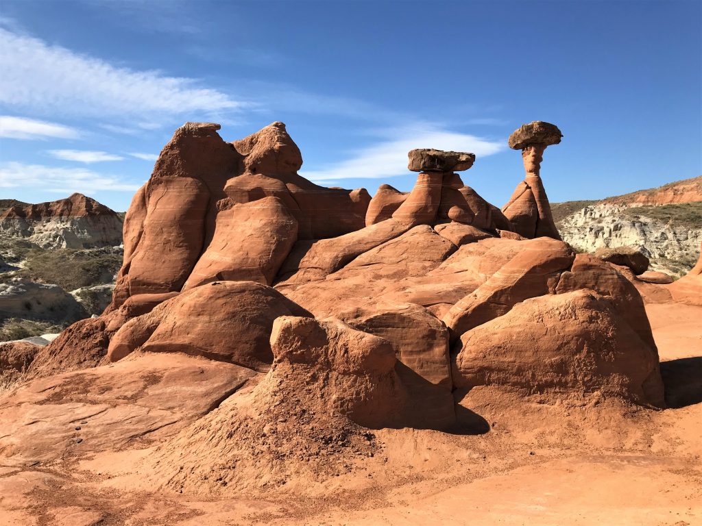
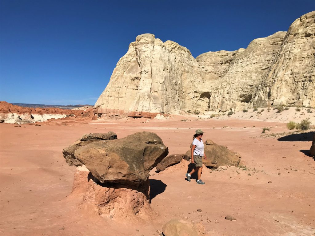
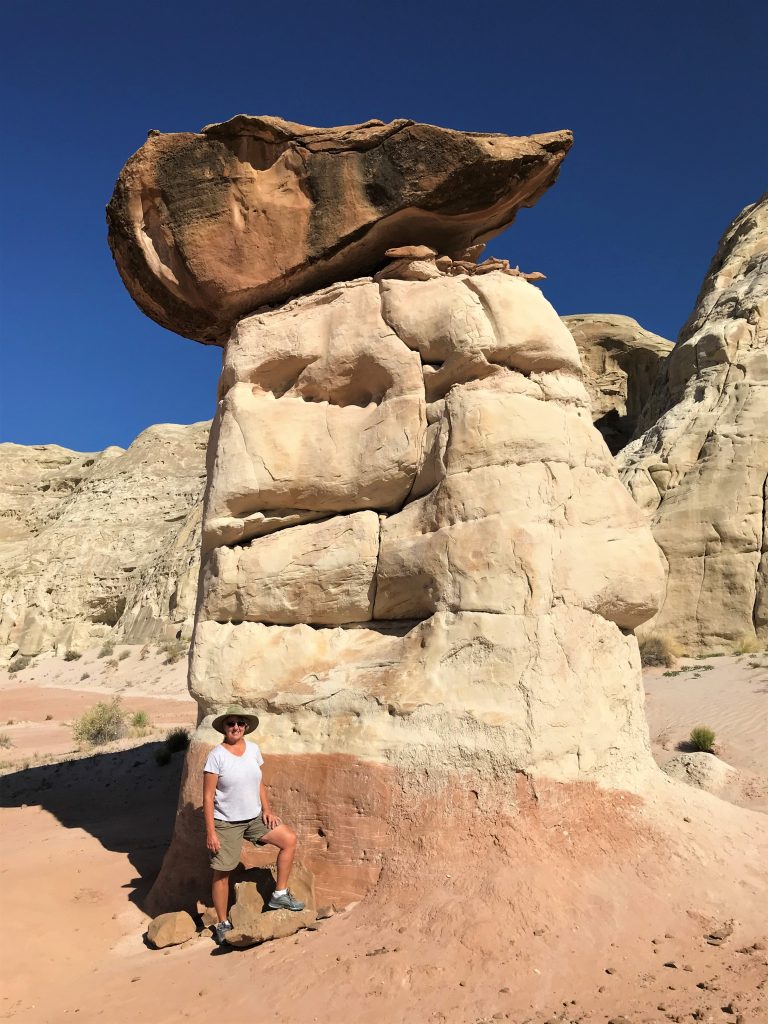
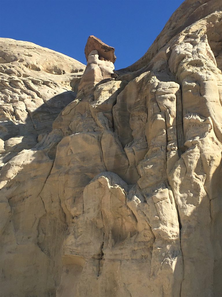
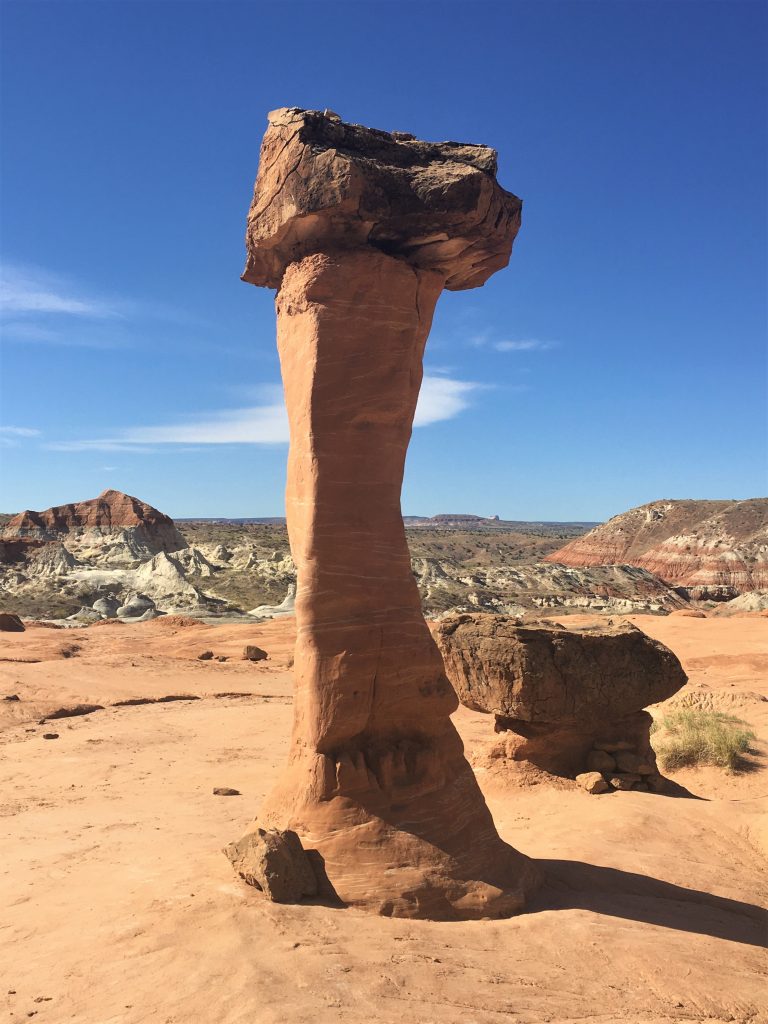
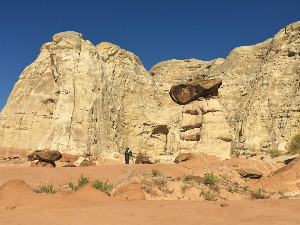
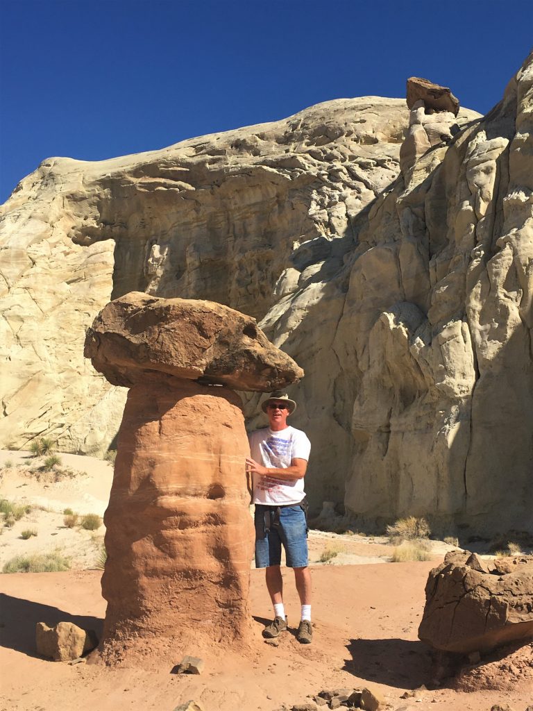
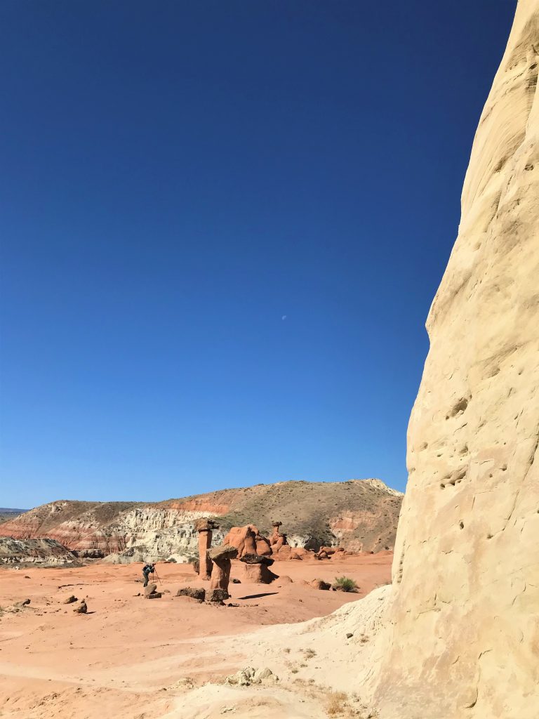
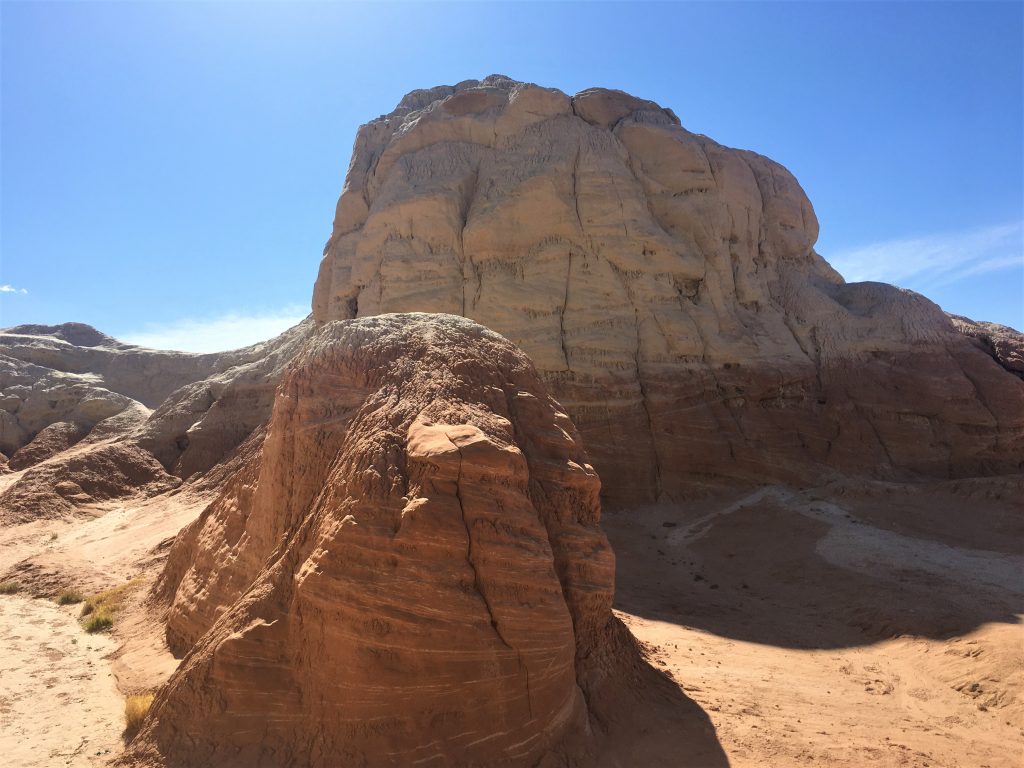
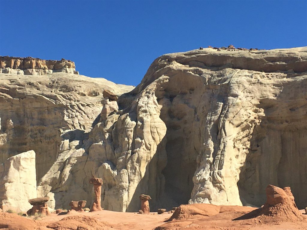
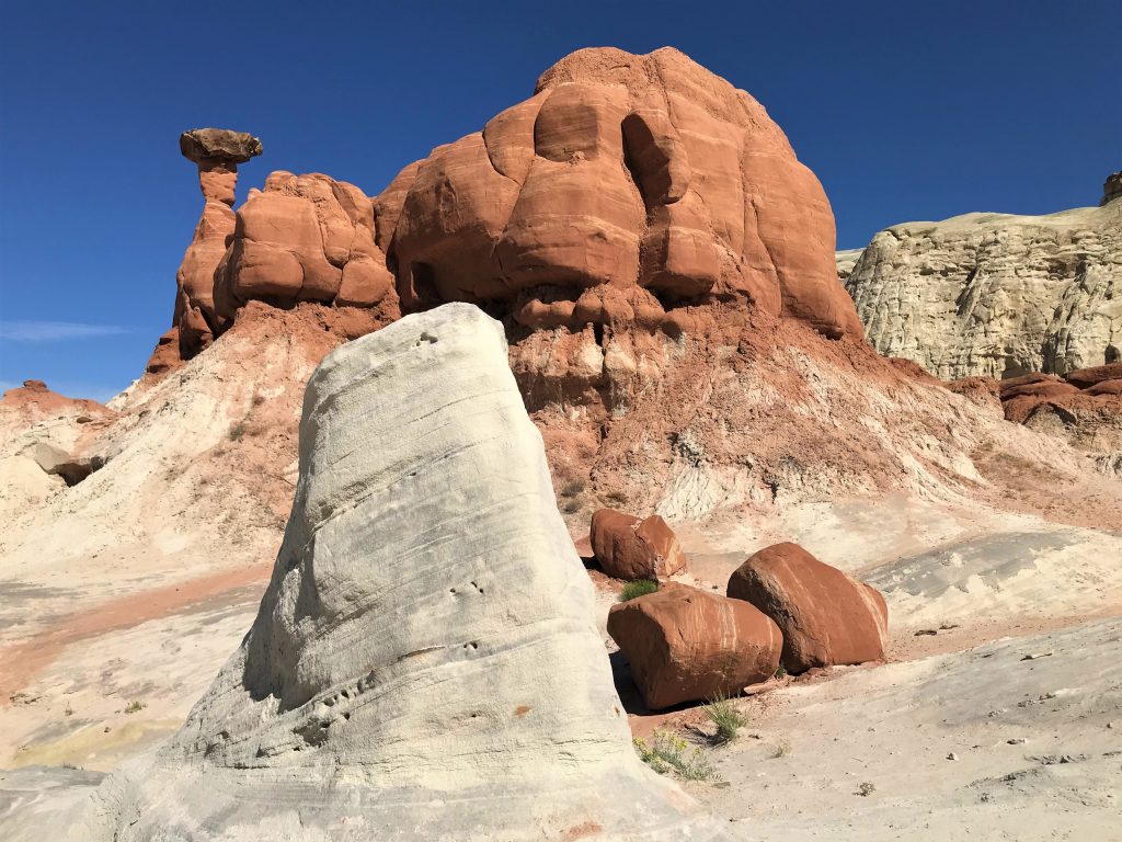
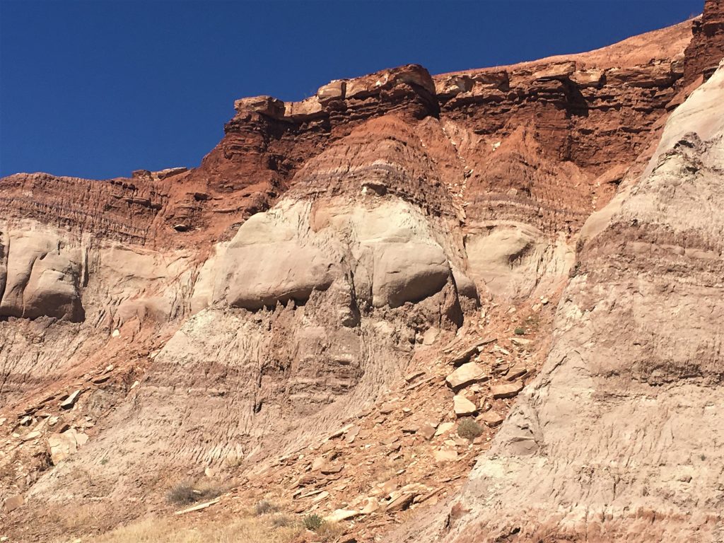
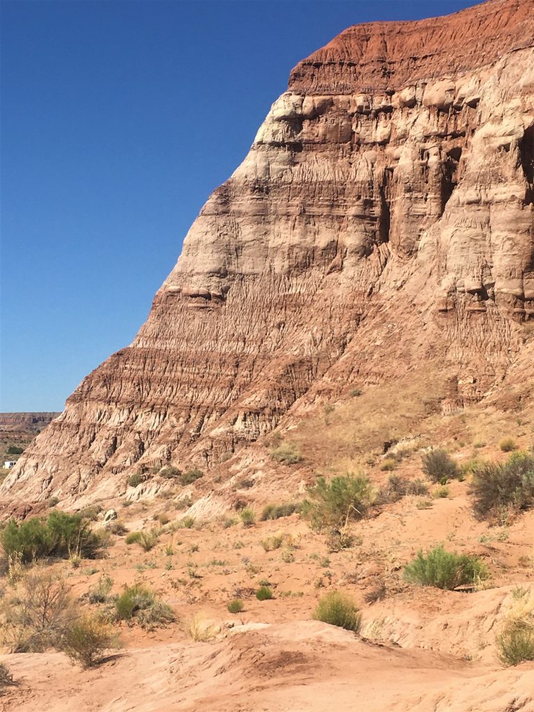
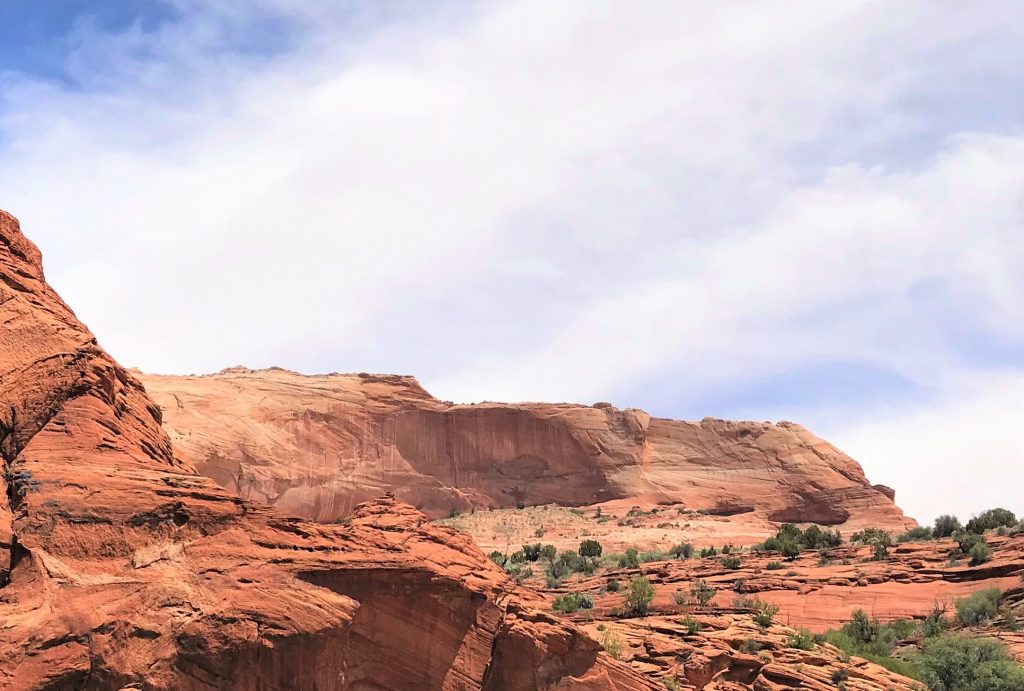
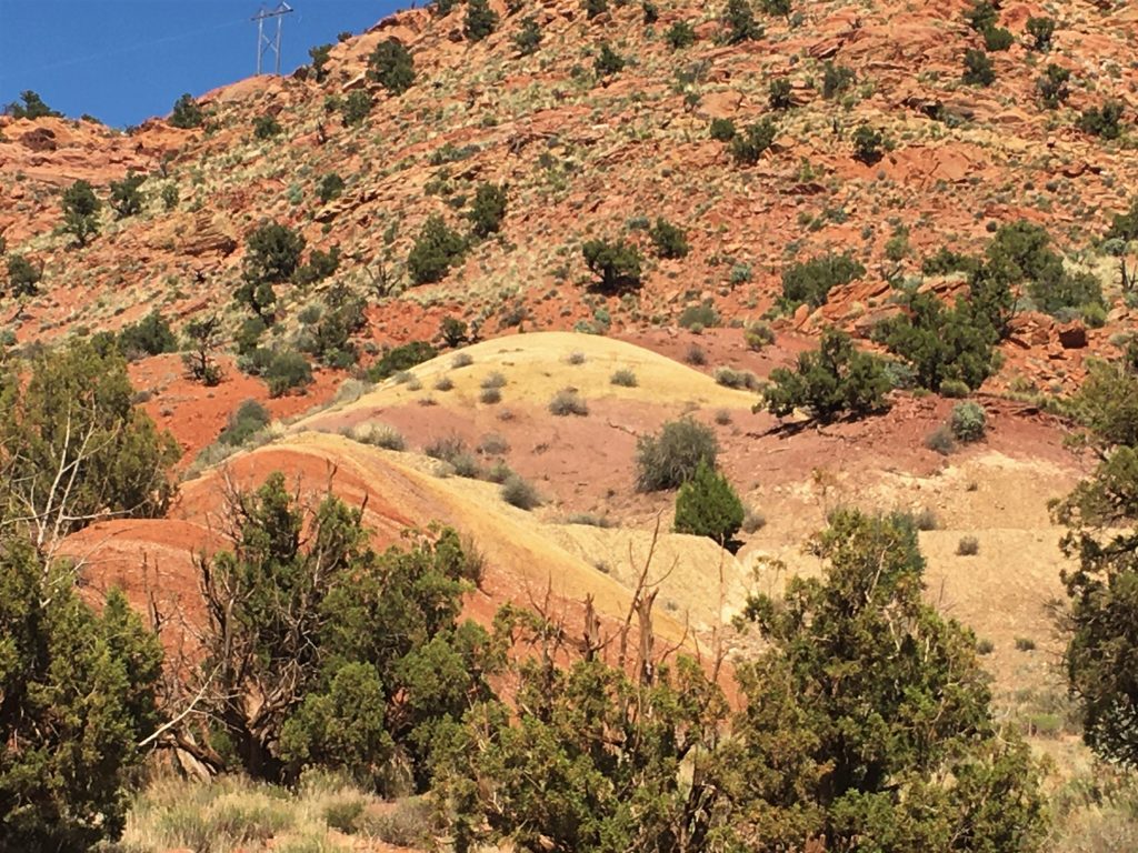
Today, we learned that the word “hoodoo”, which is used to describe towers of rocks in this area (particularly Bryce Canyon), is actually a Navajo word meaning very spooky, and seems to be due to the resemblance of the rock columns to a strange human form. They are often topped by an overhanging ‘hat’ of harder rock that seems to defy gravity.
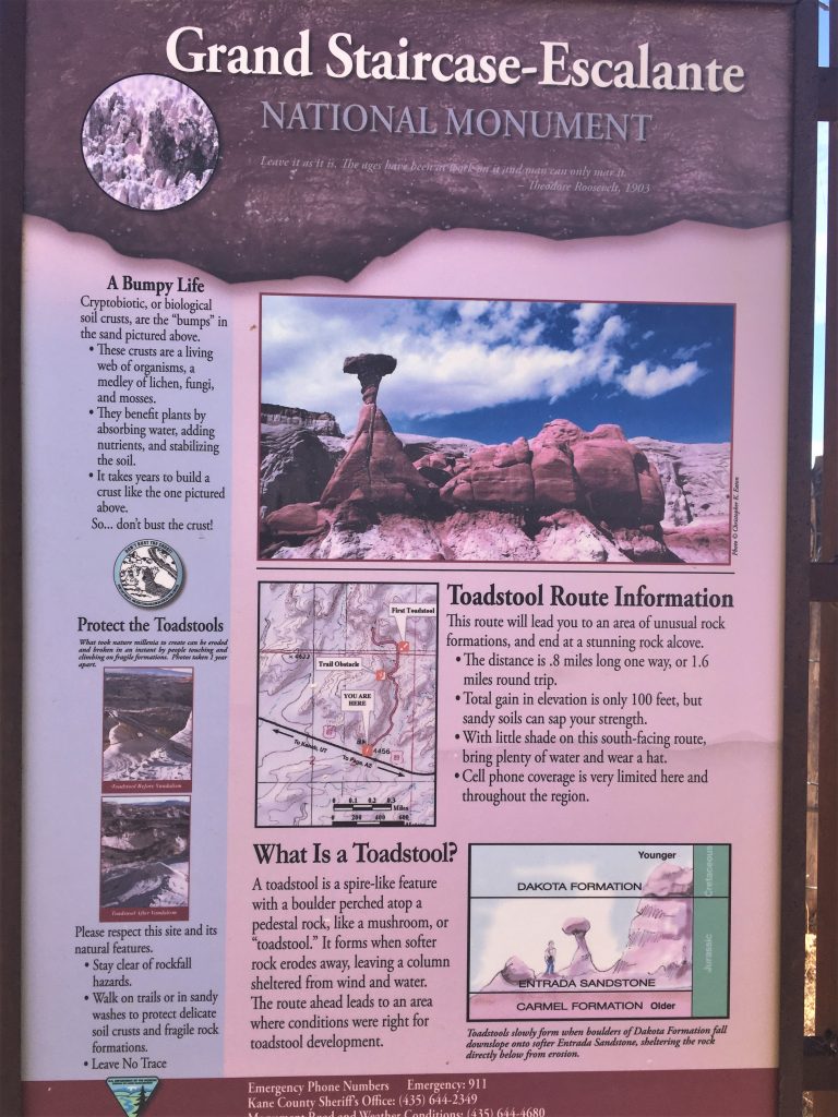
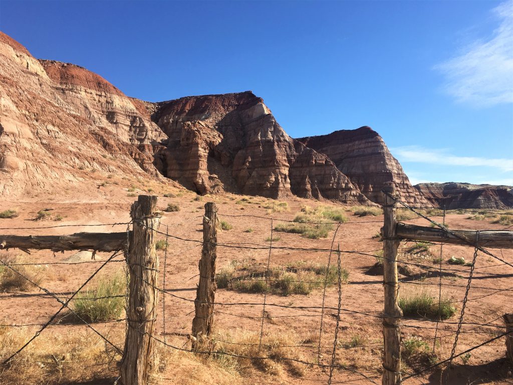
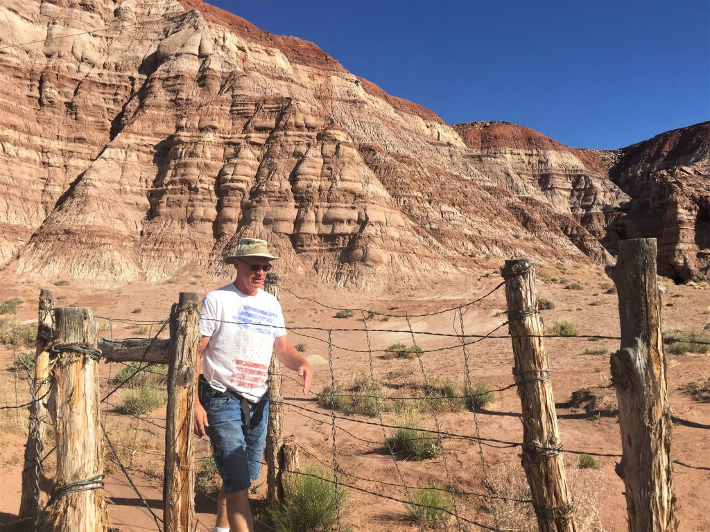
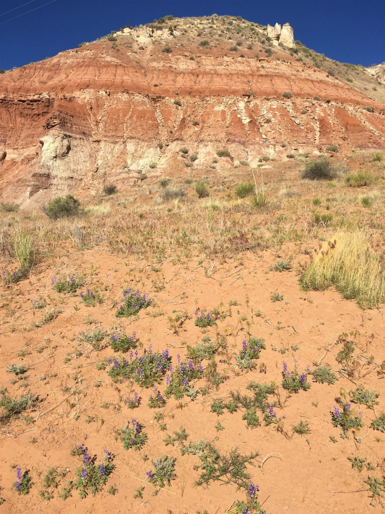
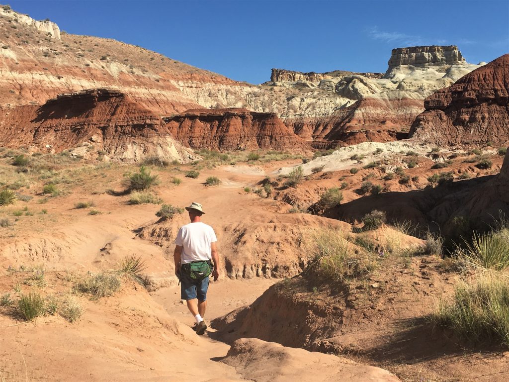
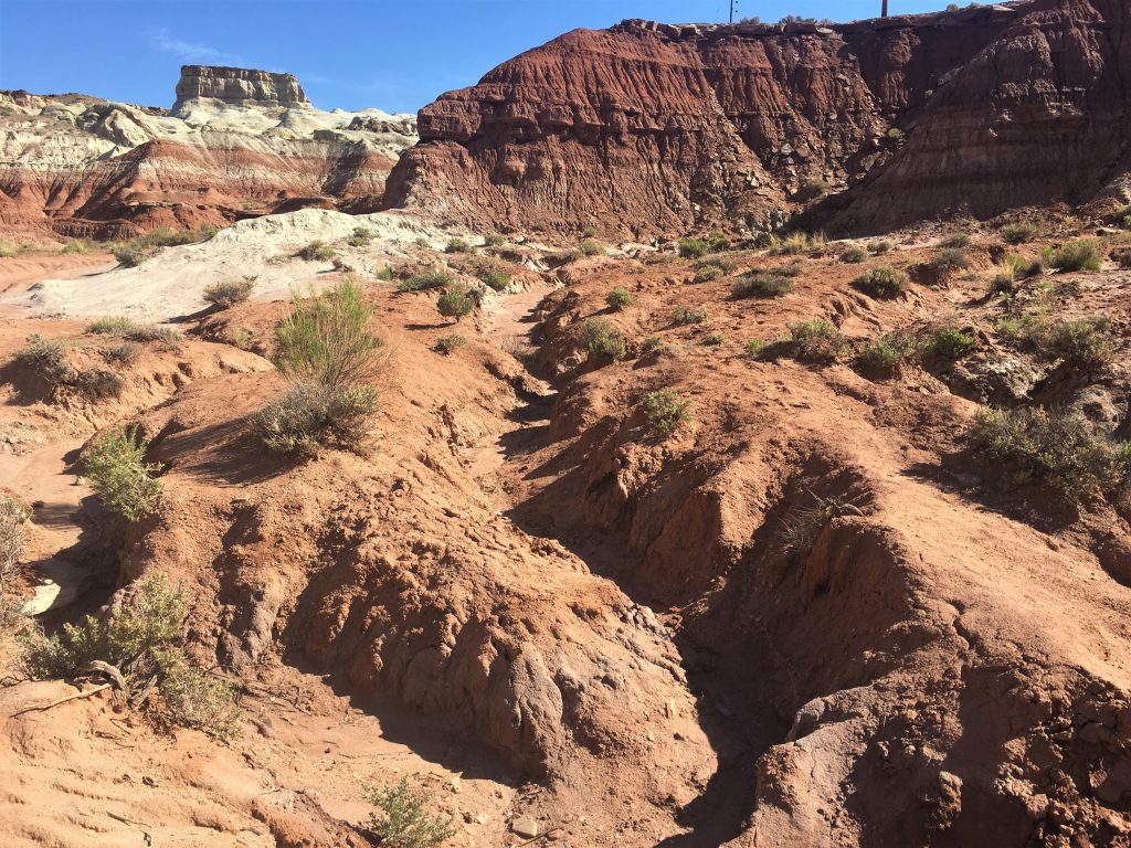
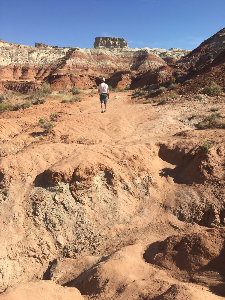
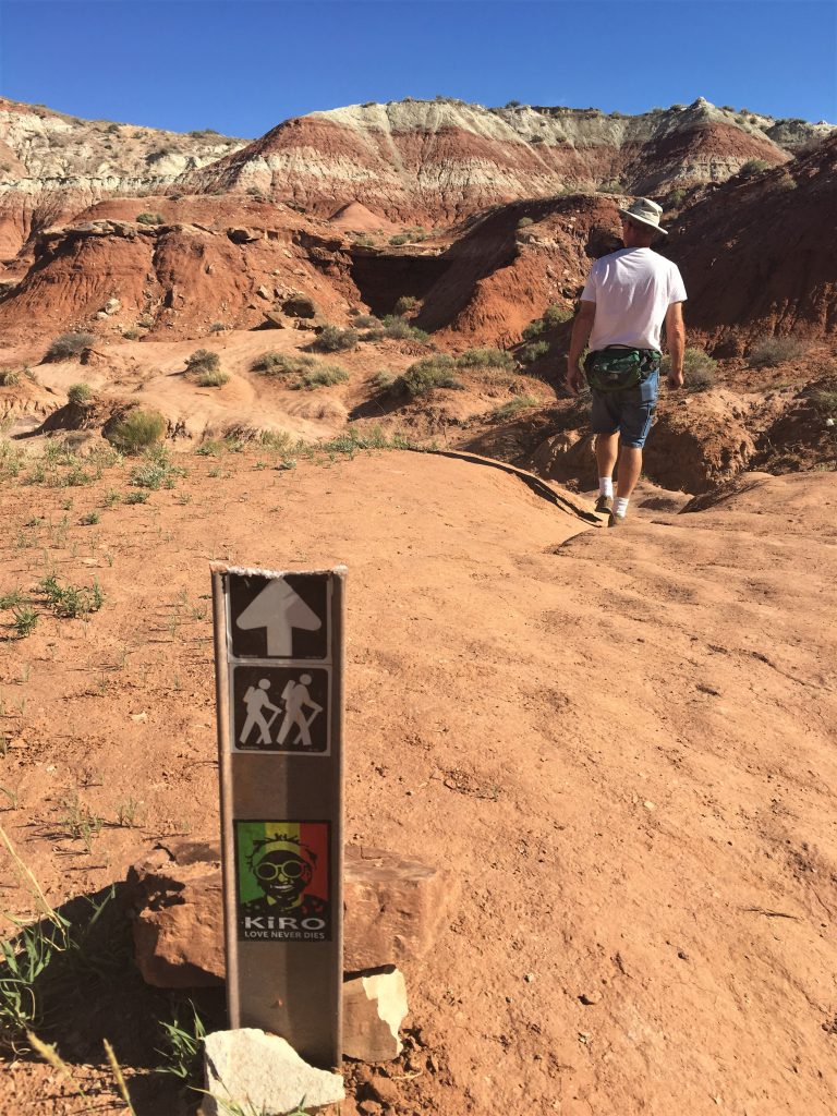
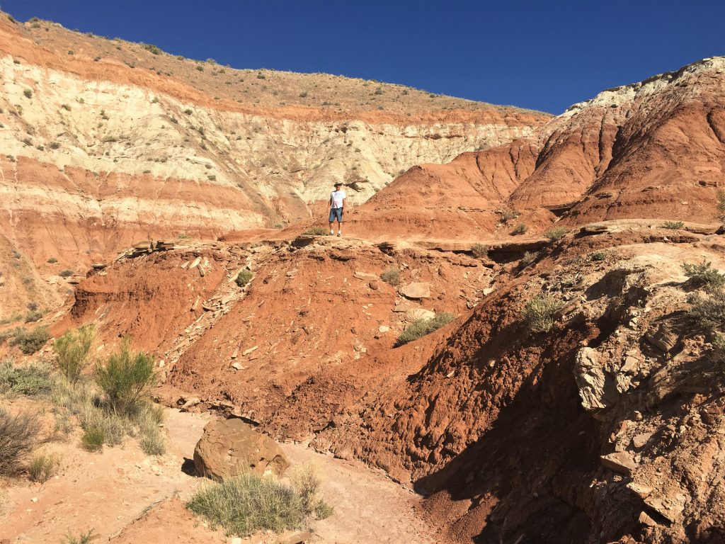
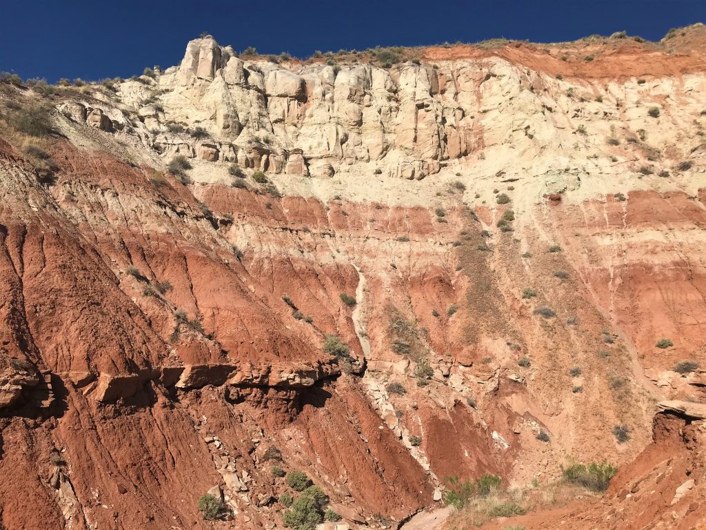
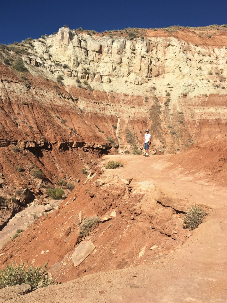
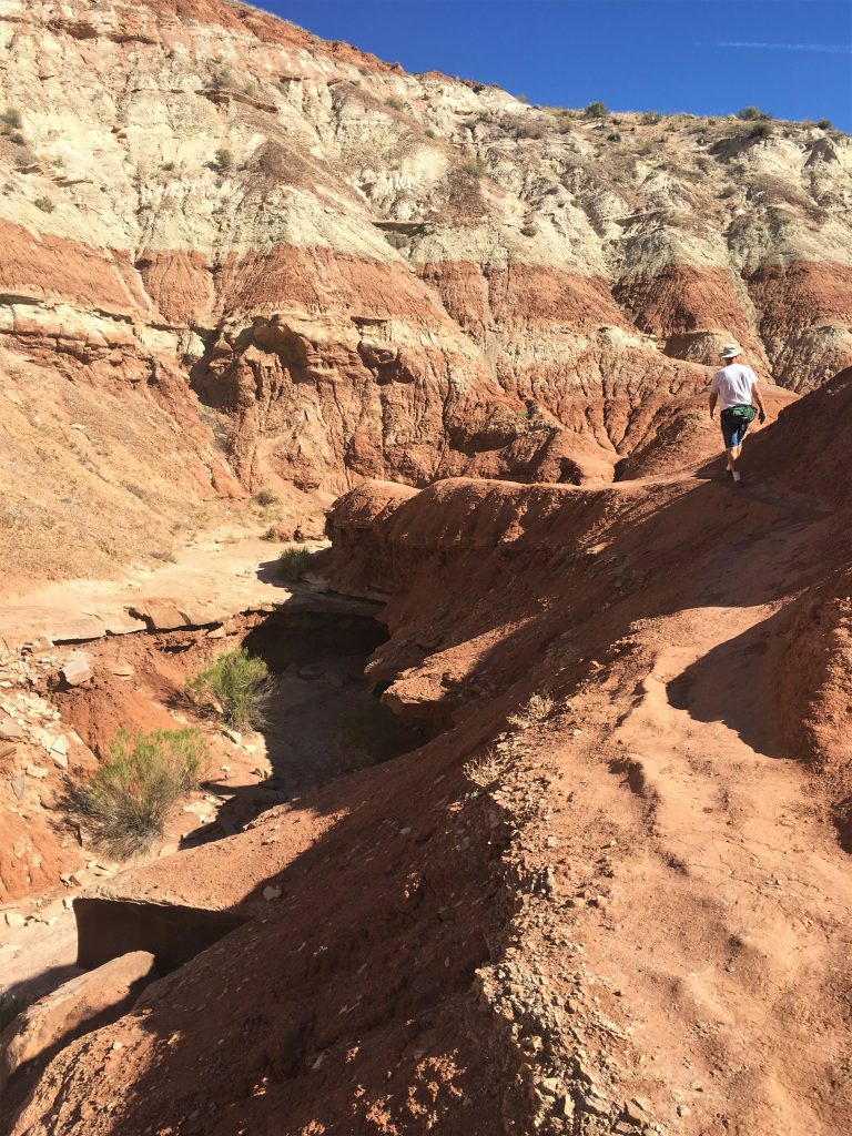
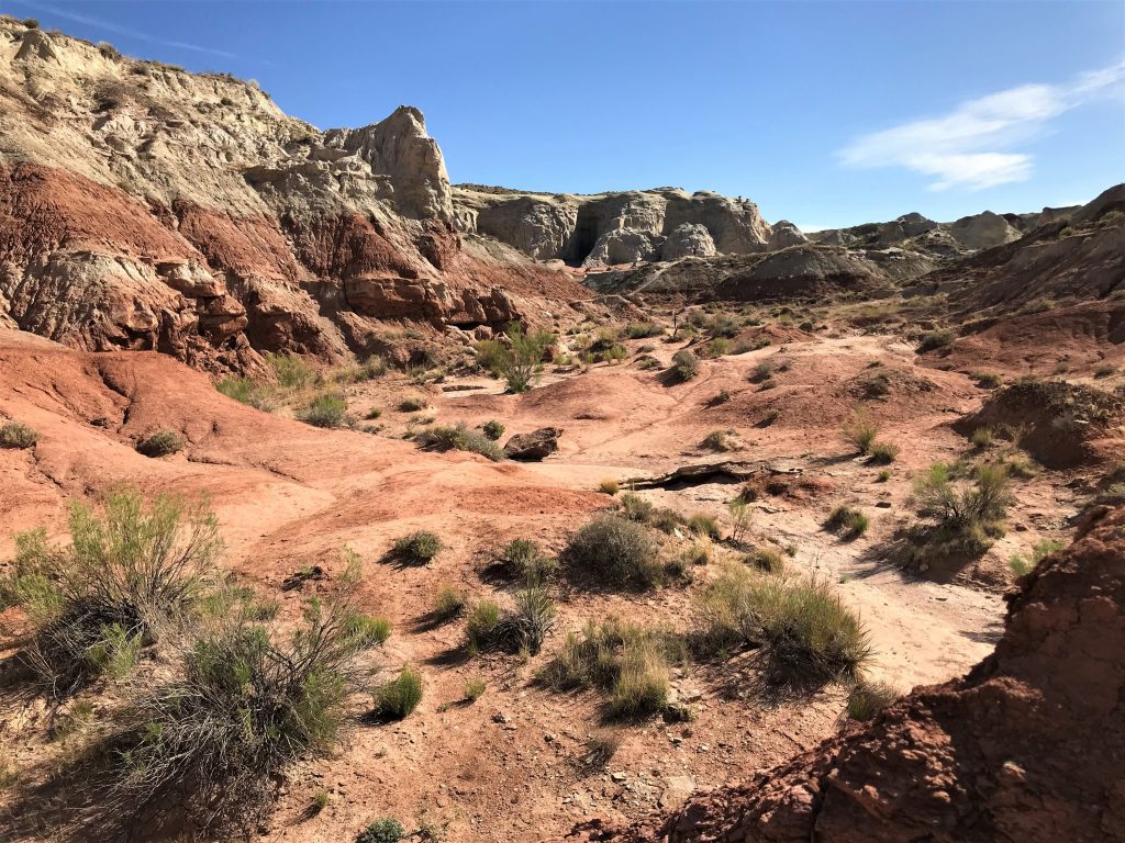
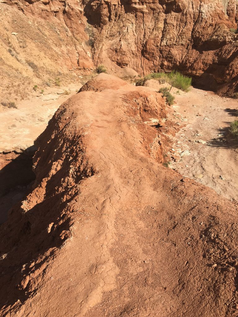
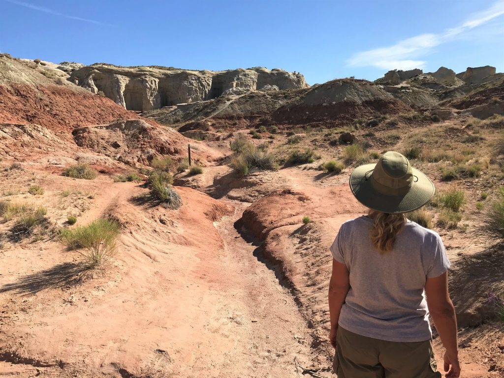
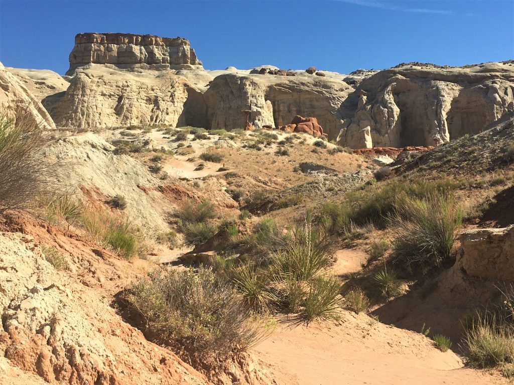
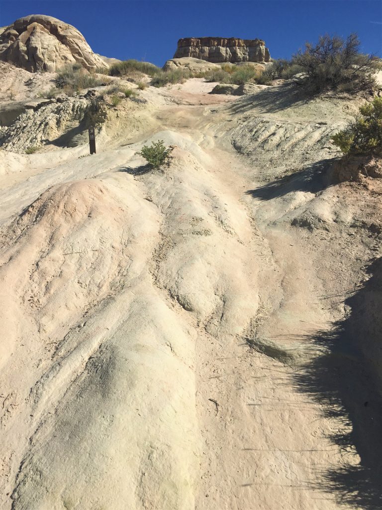
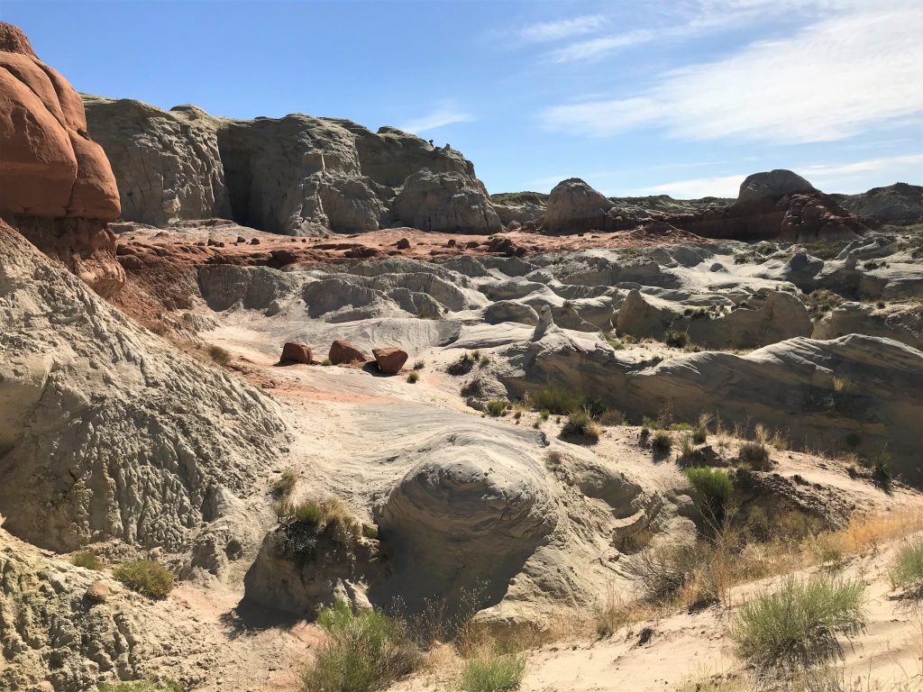
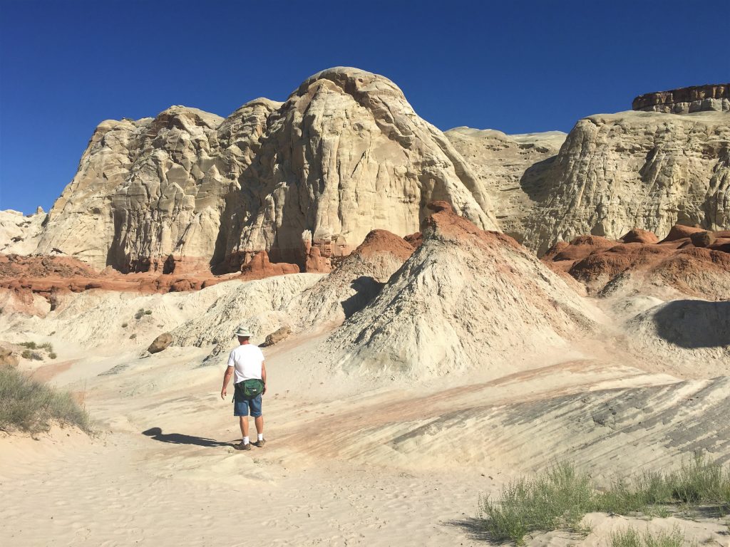
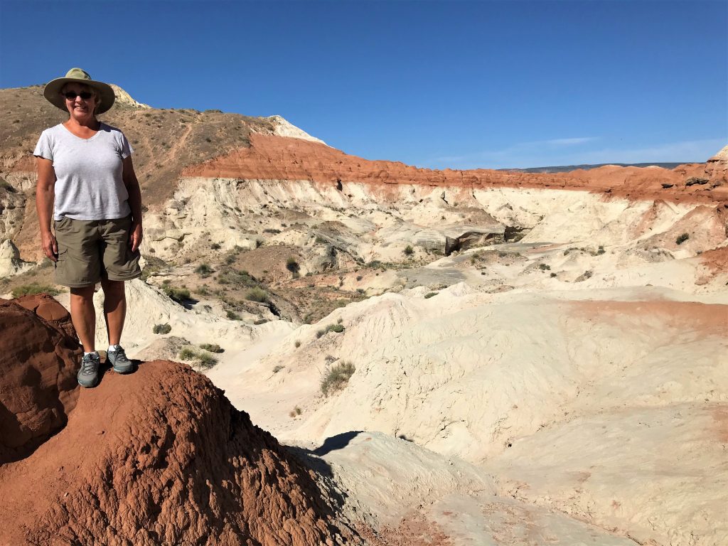
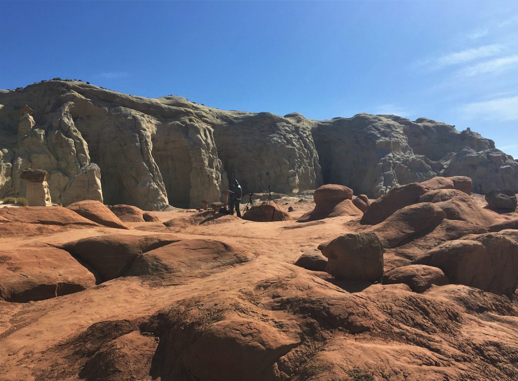
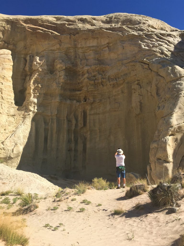
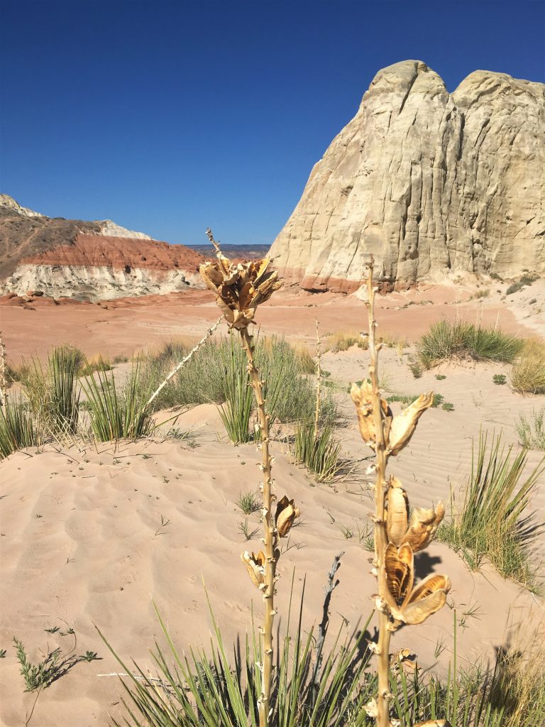
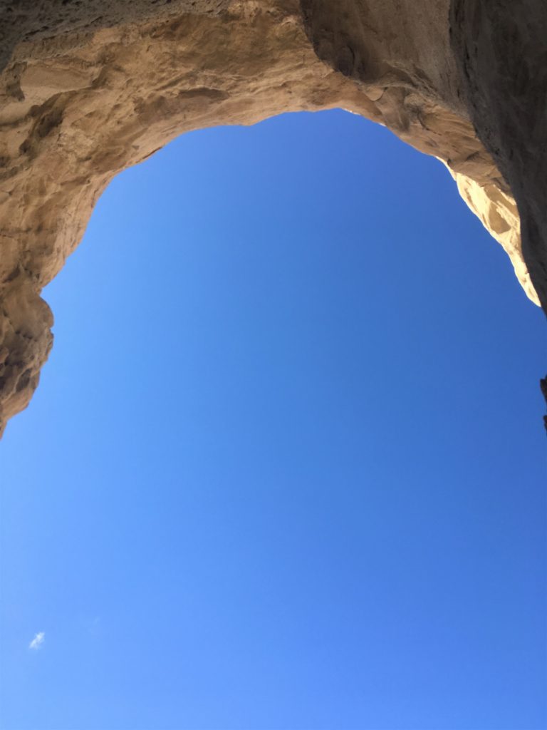
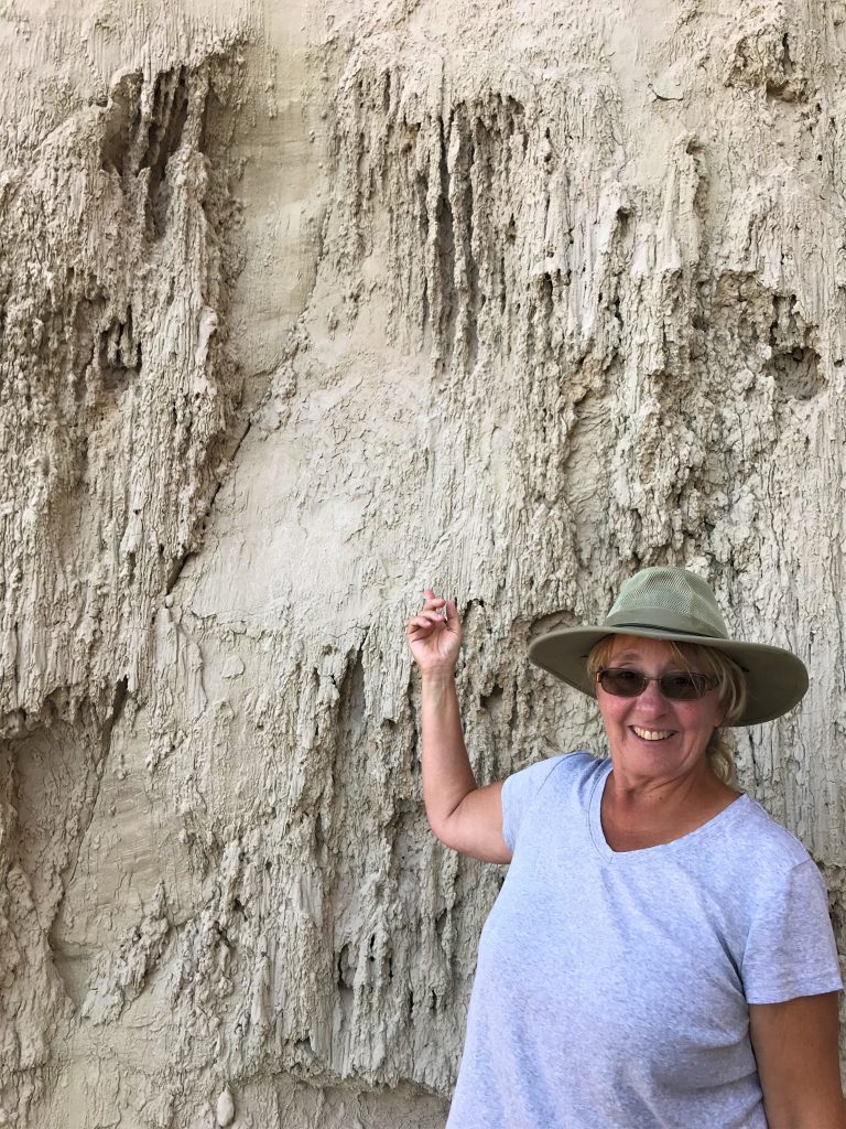
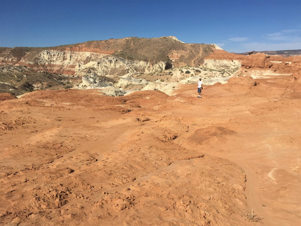
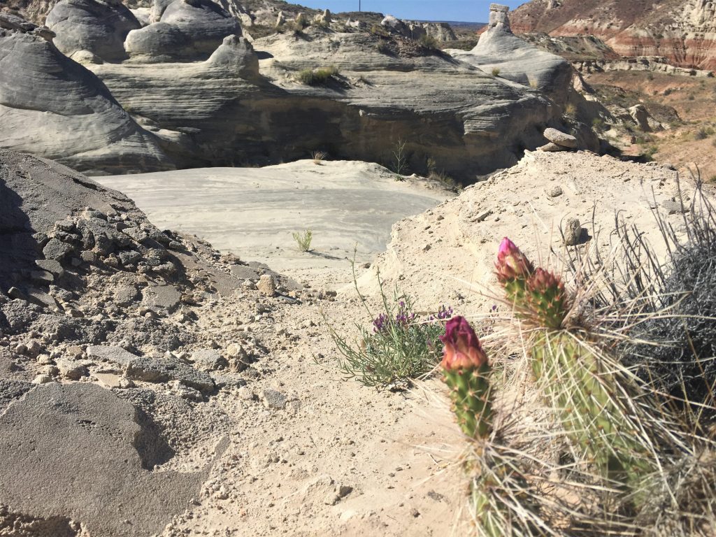
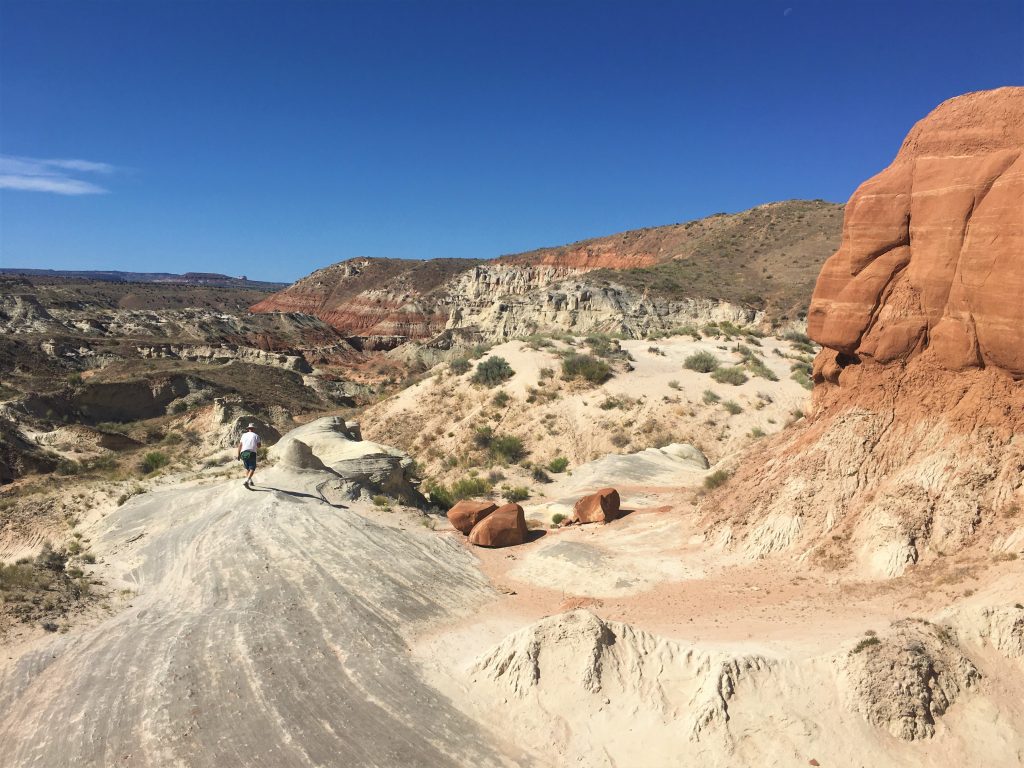
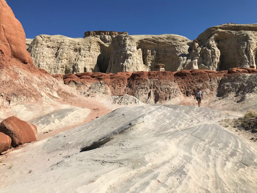
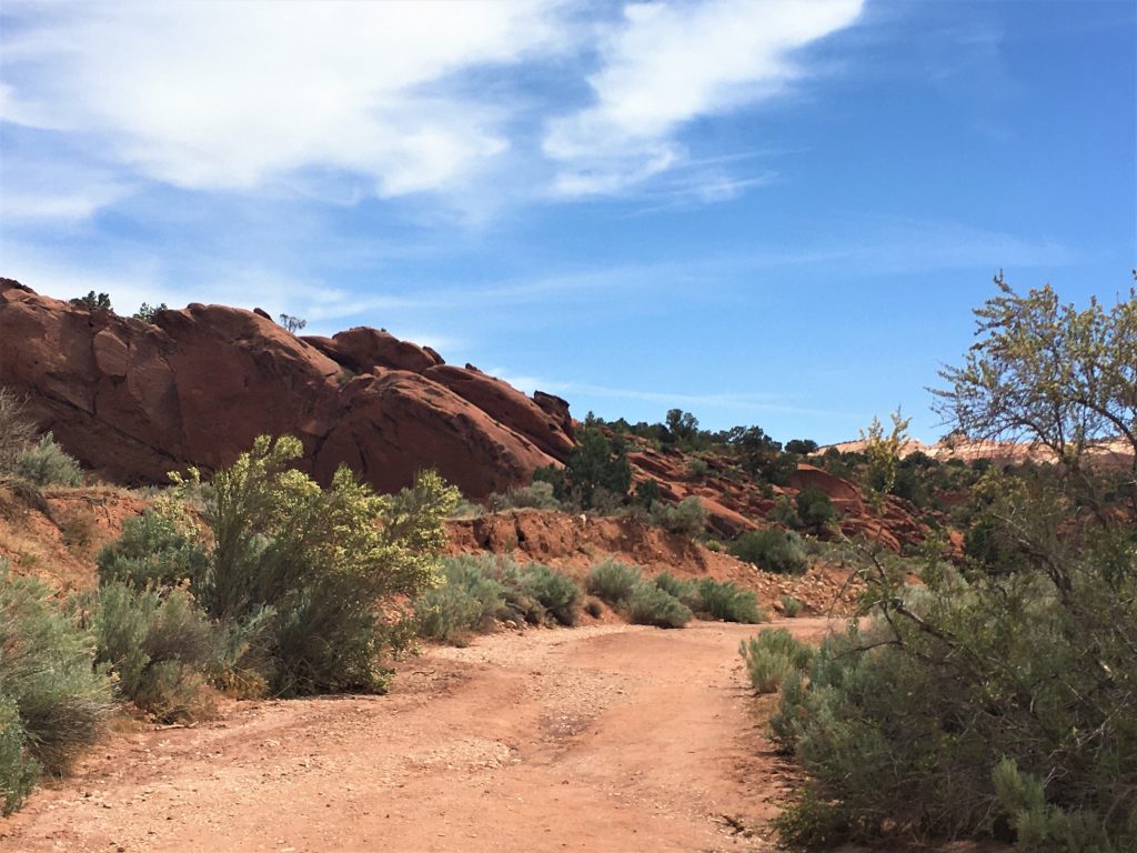
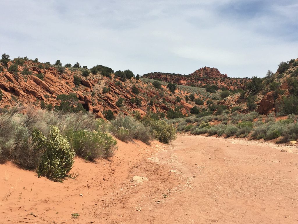
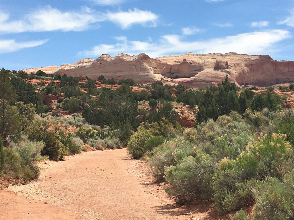
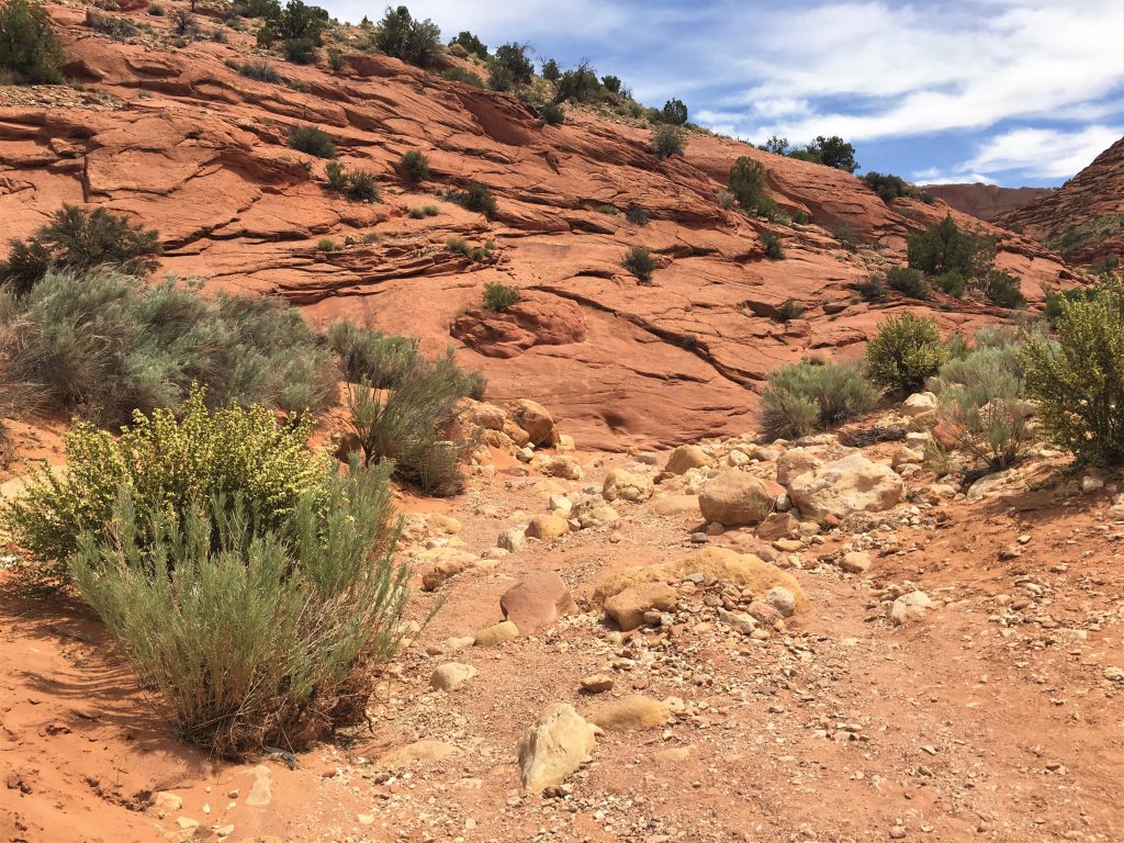
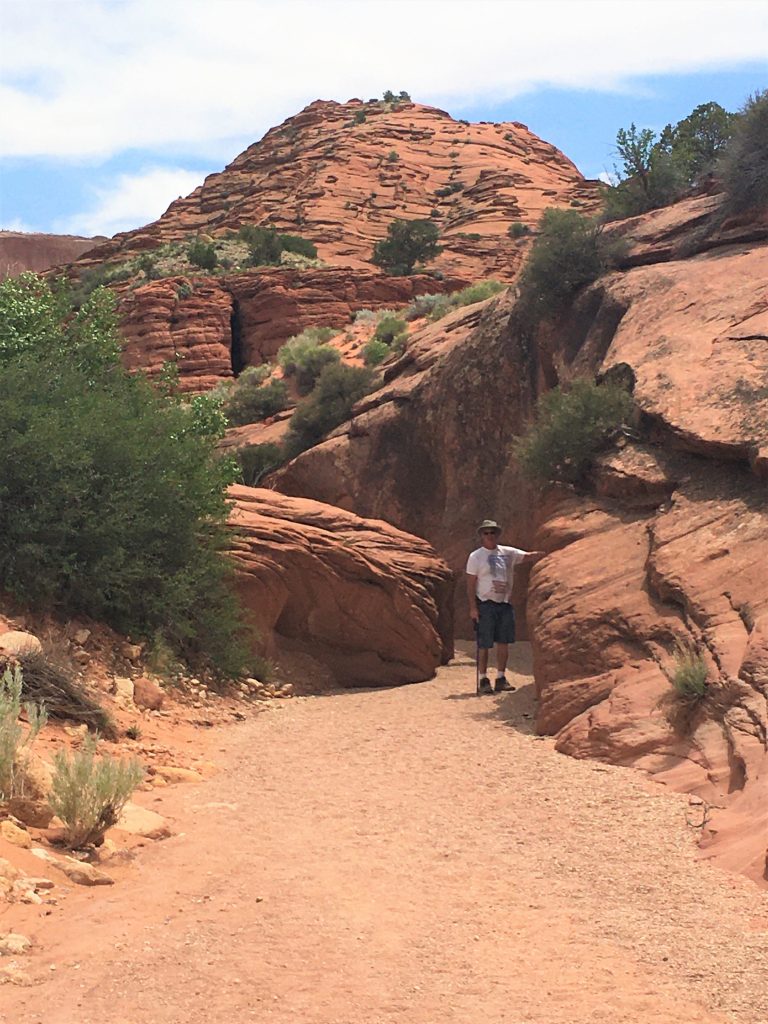
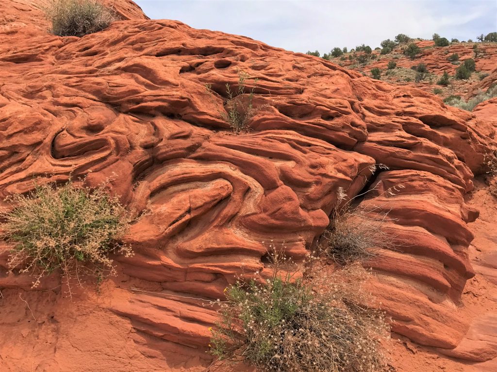
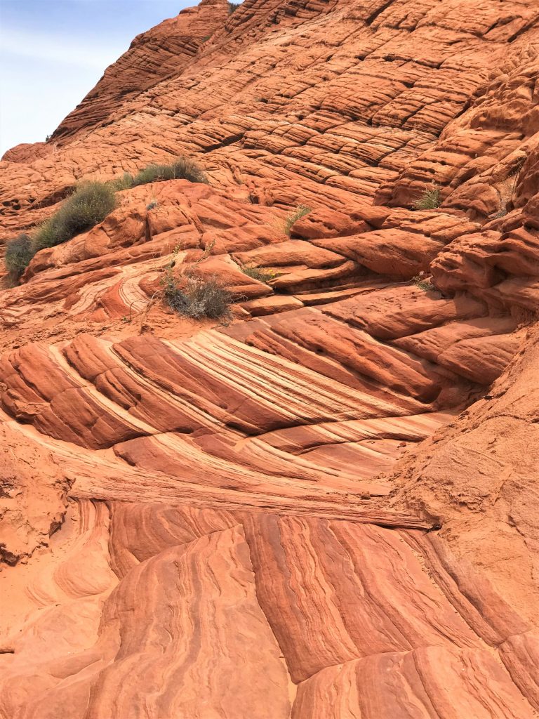
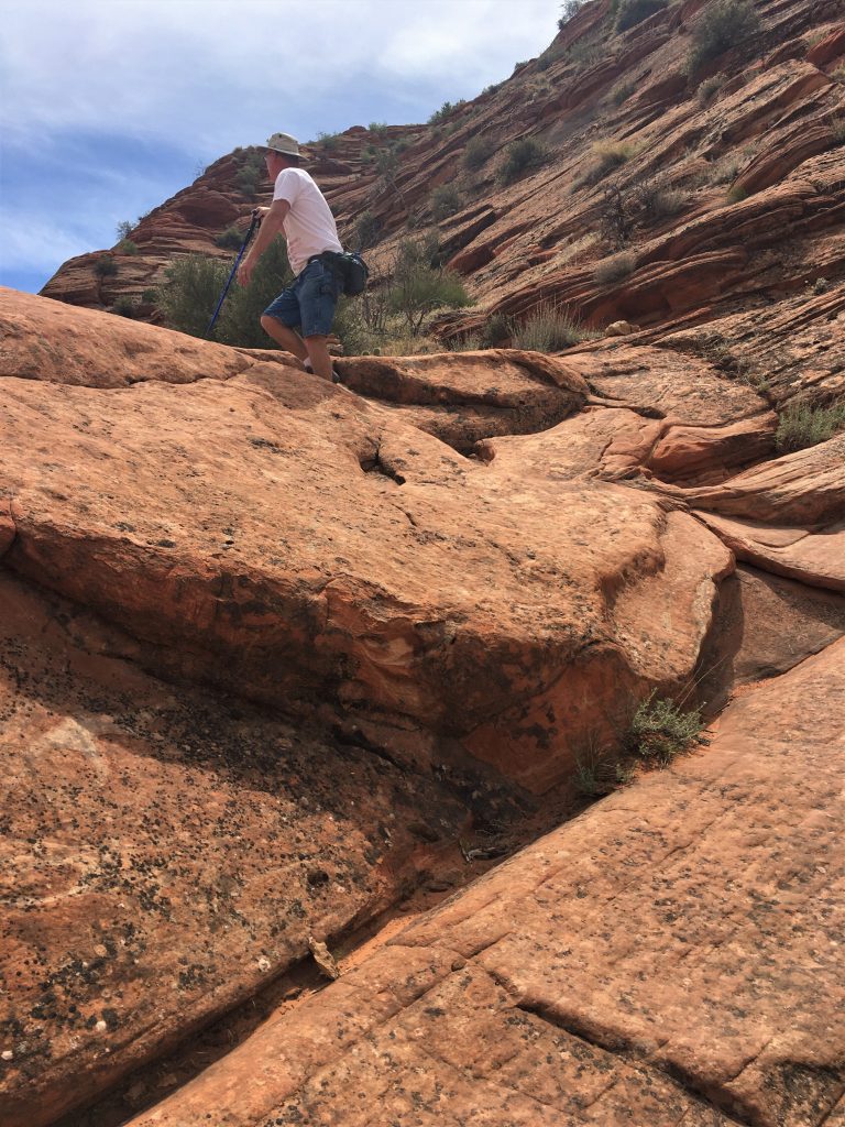
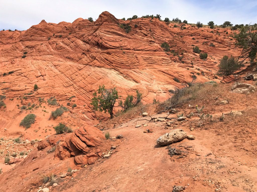
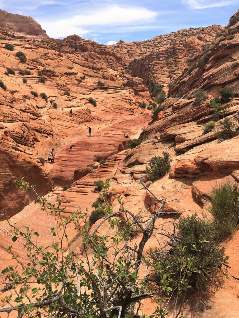
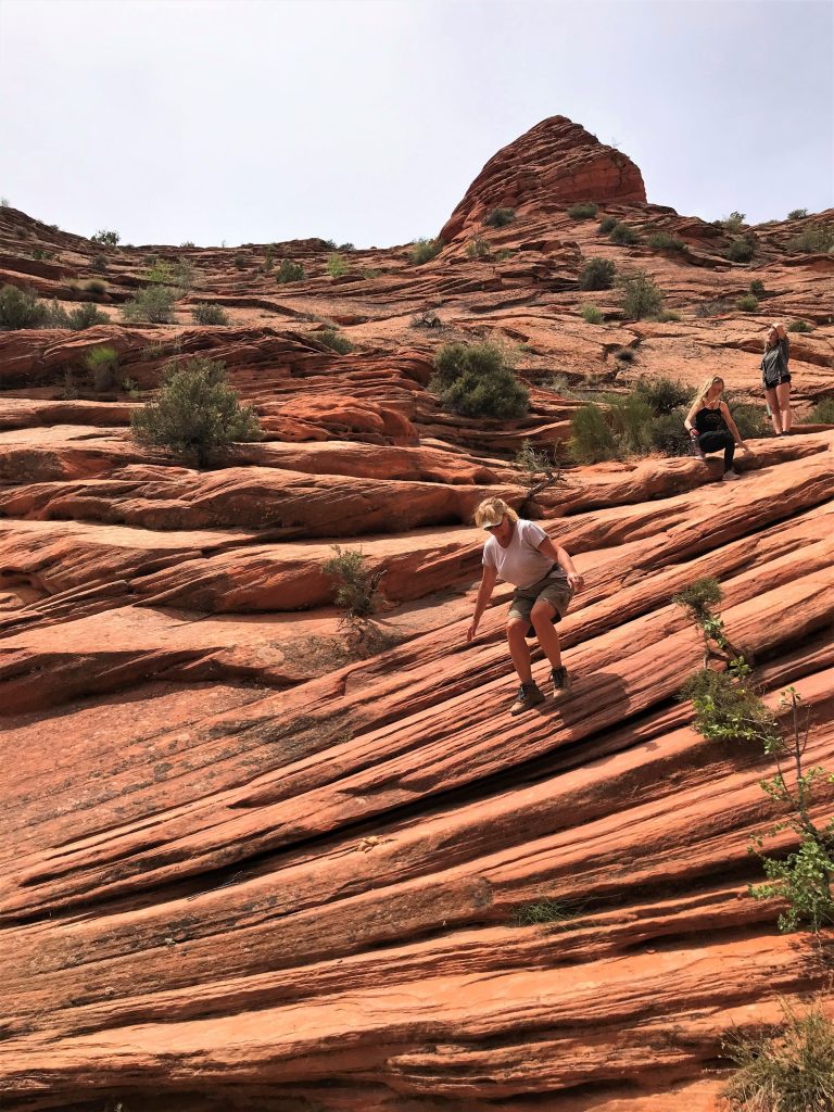
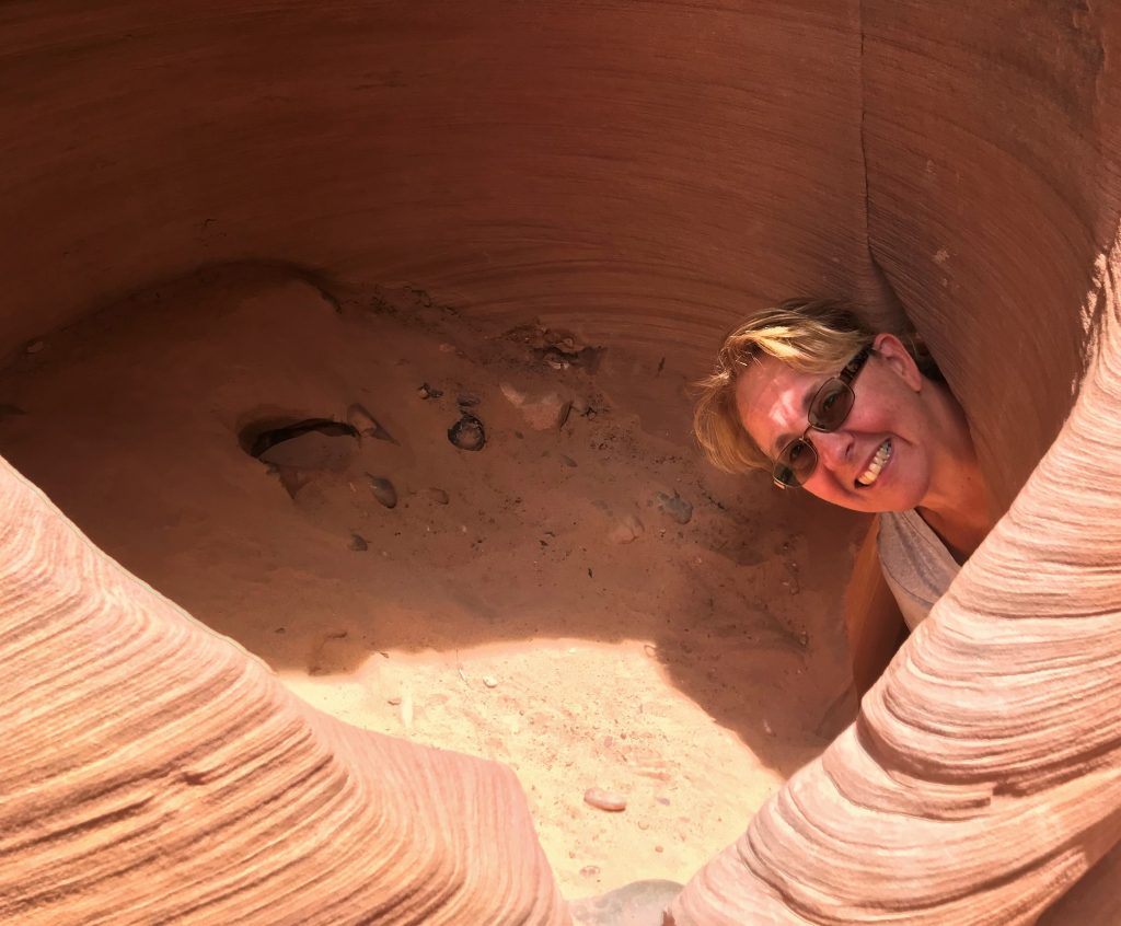
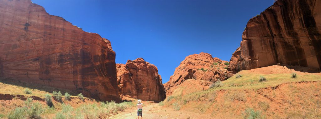
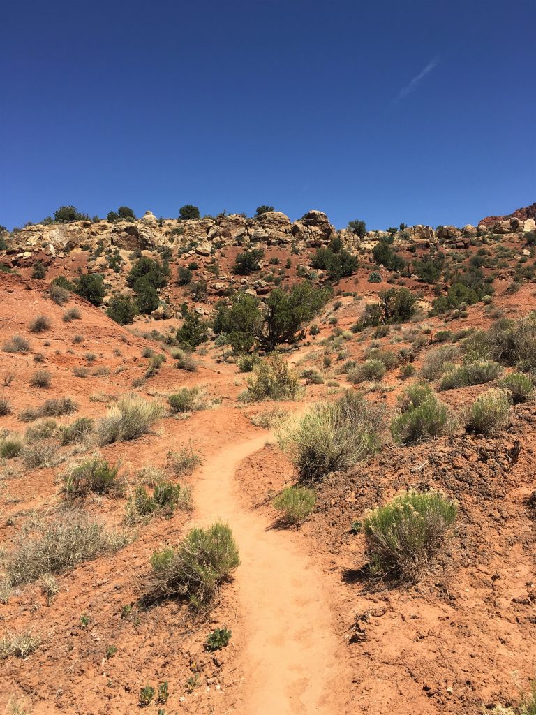
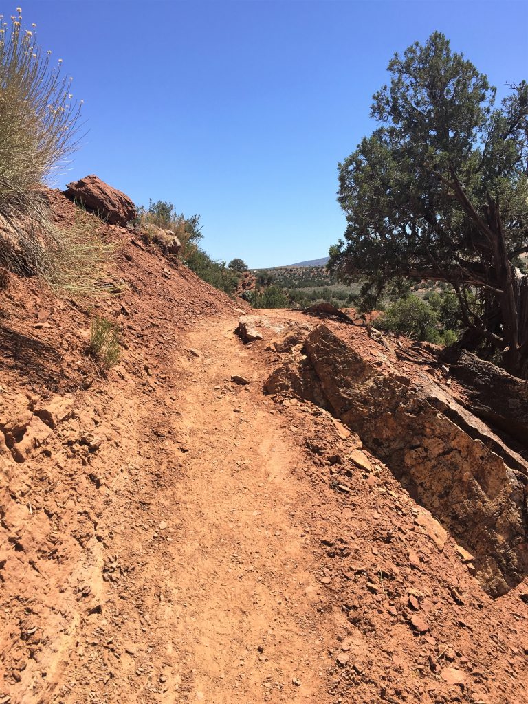
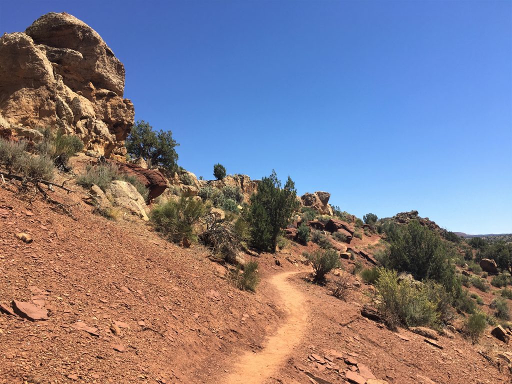
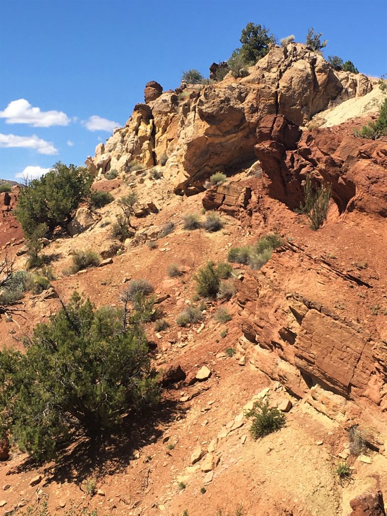
Our first stop today was to visit “Toadstools”. Located via a mostly unmarked trail, made by foot traffic, its name comes from the shape of some of the rock formations we saw. Also of note, this area is within the Grand Staircase Escalante National Monument – a large protected area, not dissimilar to places like Bryce Canyon, Capitol Reef, Canyonlands, etc. We’ll talk more about Grand Staircase at a later date when we spend more time there.
For today, we’ll just focus on Toadstools. 😊
What an awesome place! We arrived early, and the only other people we saw were two Asian photographers. We assumed they were together, but when only one of them left, we changed our assumption. We saw him later by his car with California tags.
Anyway, enjoy this incredible off the beaten path place!
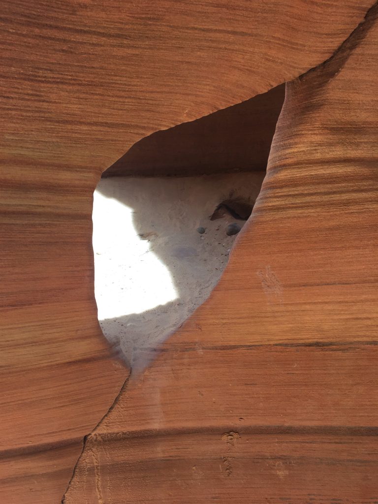
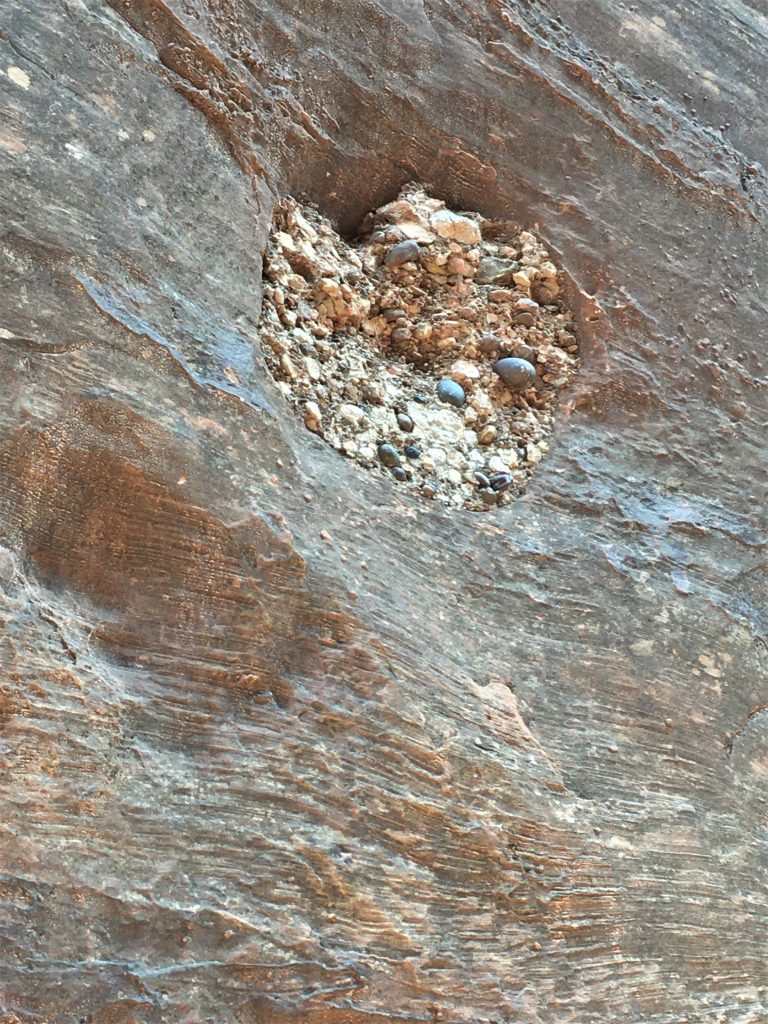
Not sure why it’s set up this way.
Pretty great, huh?
and we were feeling like we were over dressed for the heat of the day. haha!
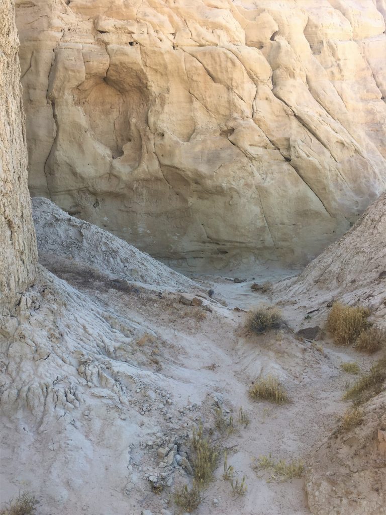
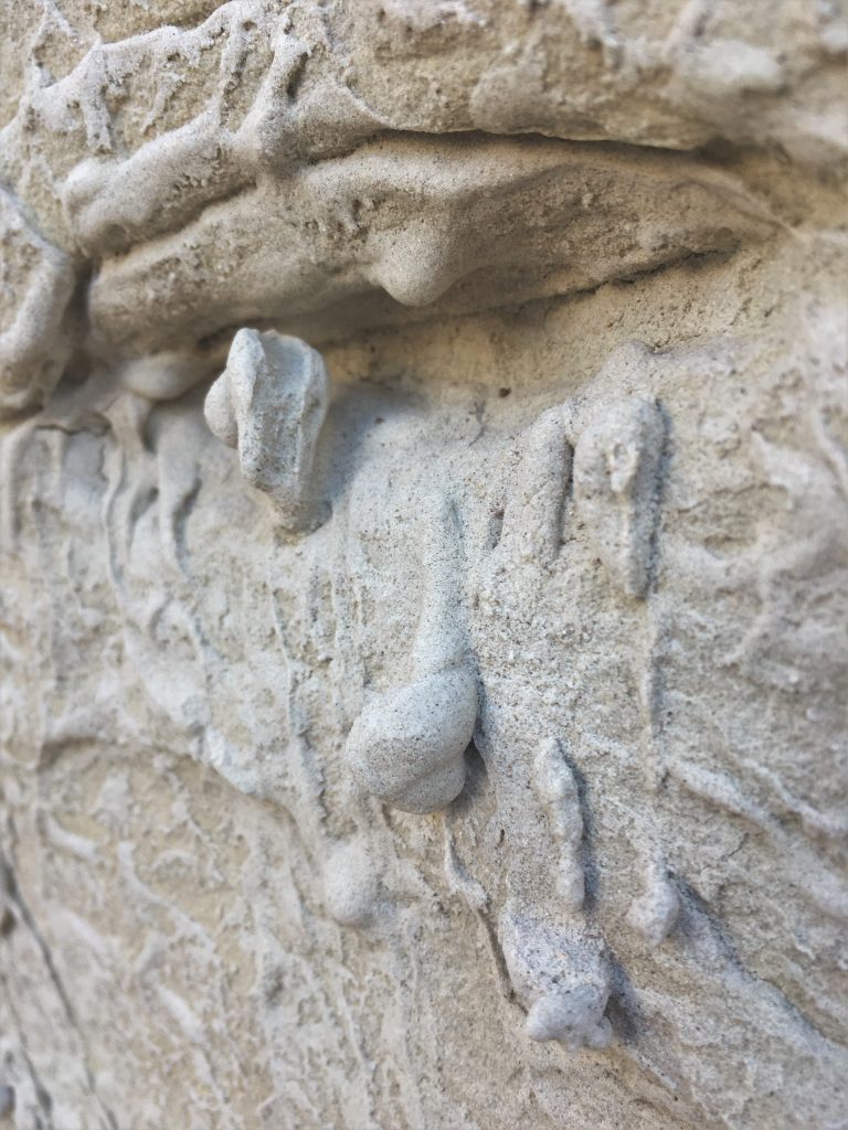
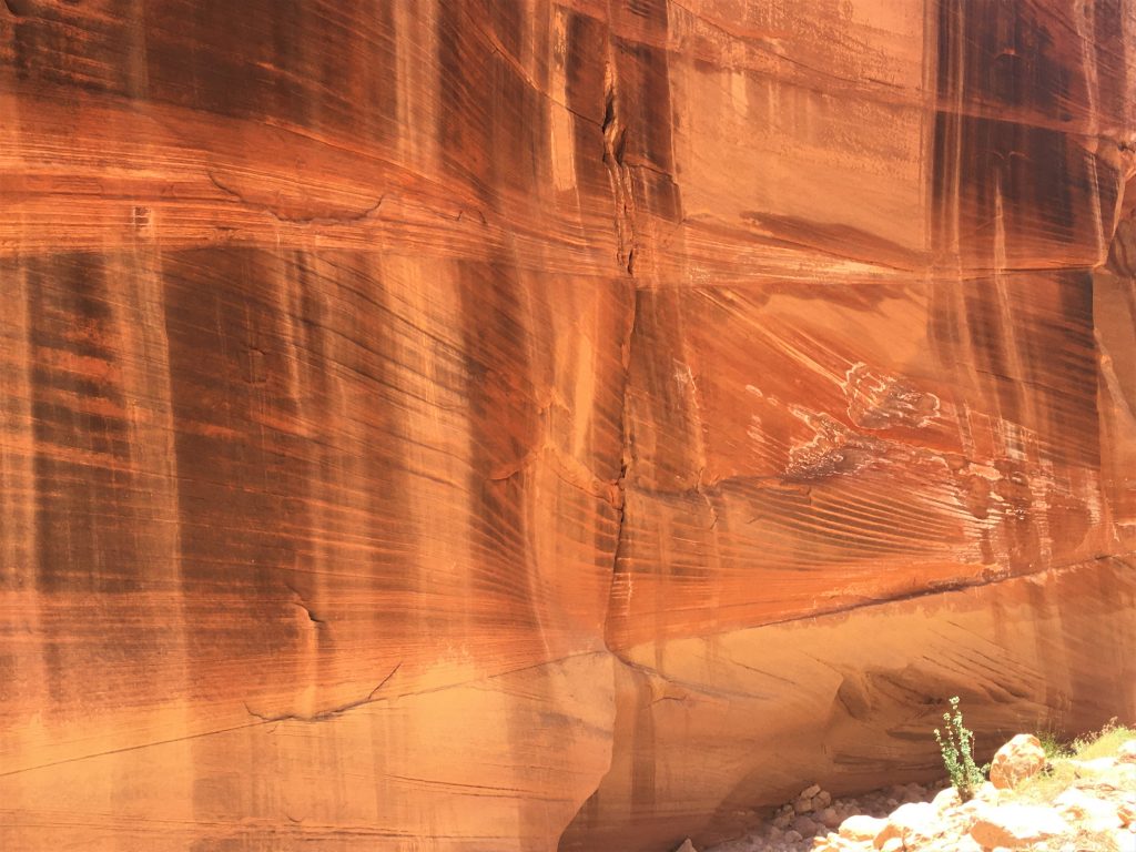
Cool stuff! But you have to wonder how fast it’s eroding.
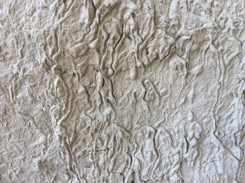
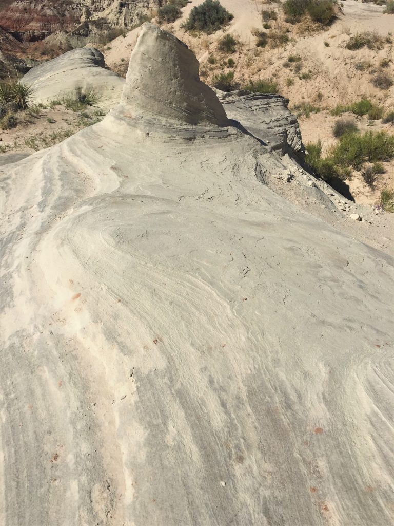
It was very soft and sandy.
They sure had great lighting this morning!
Did you notice the moon? : )
See next picture.
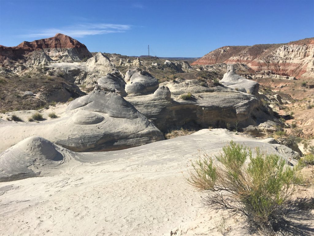
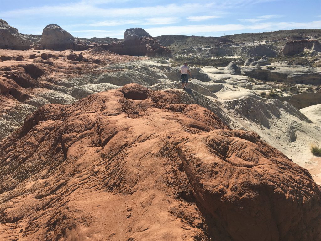
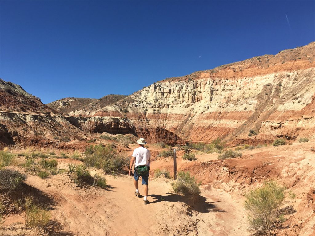
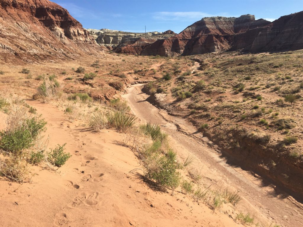
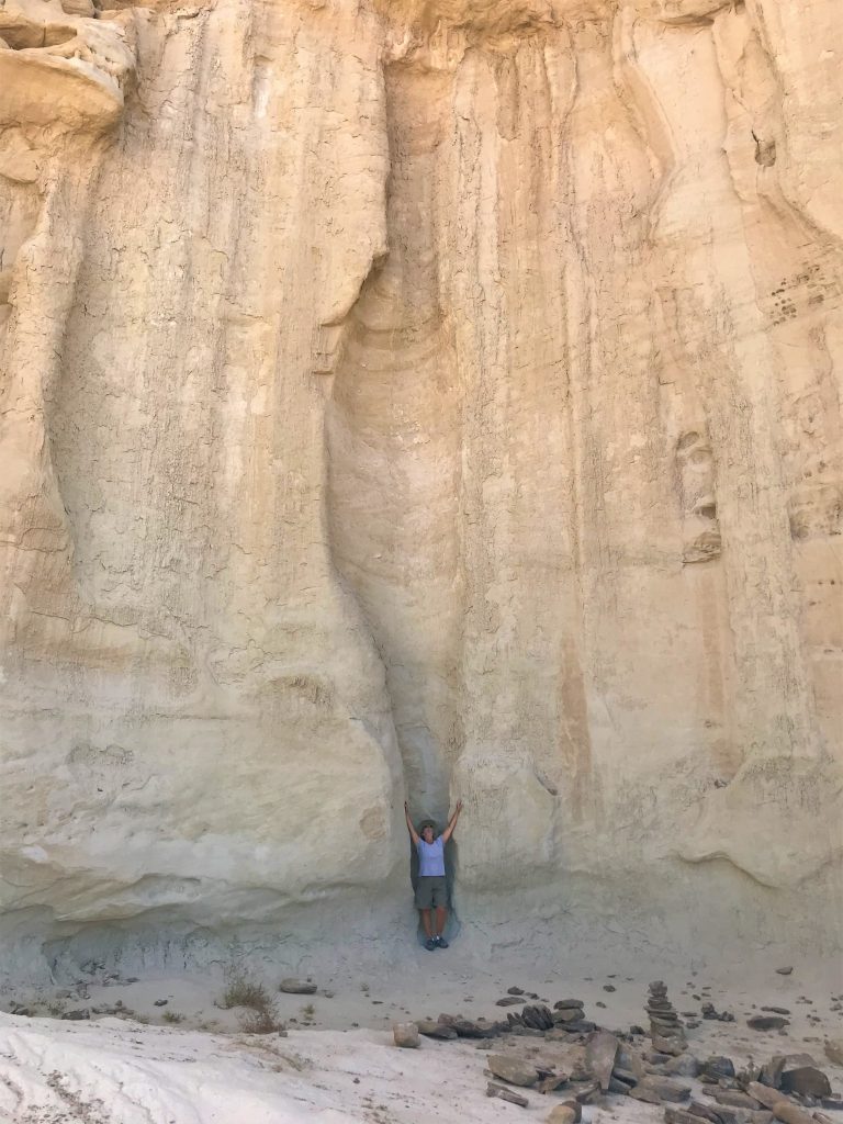
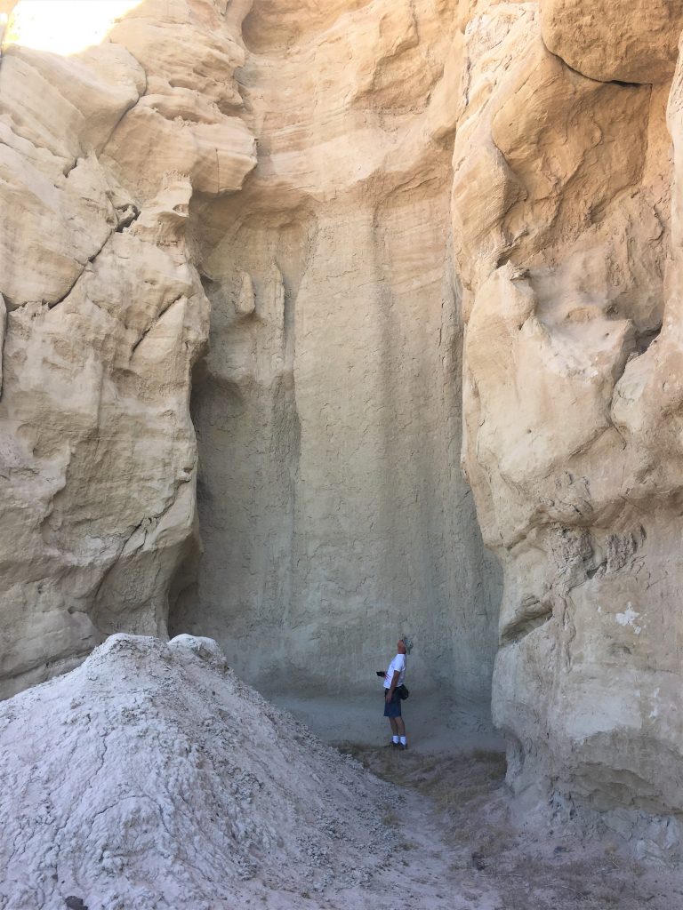
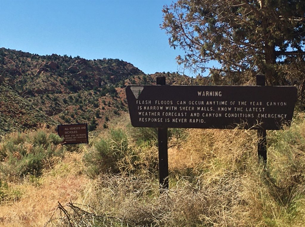
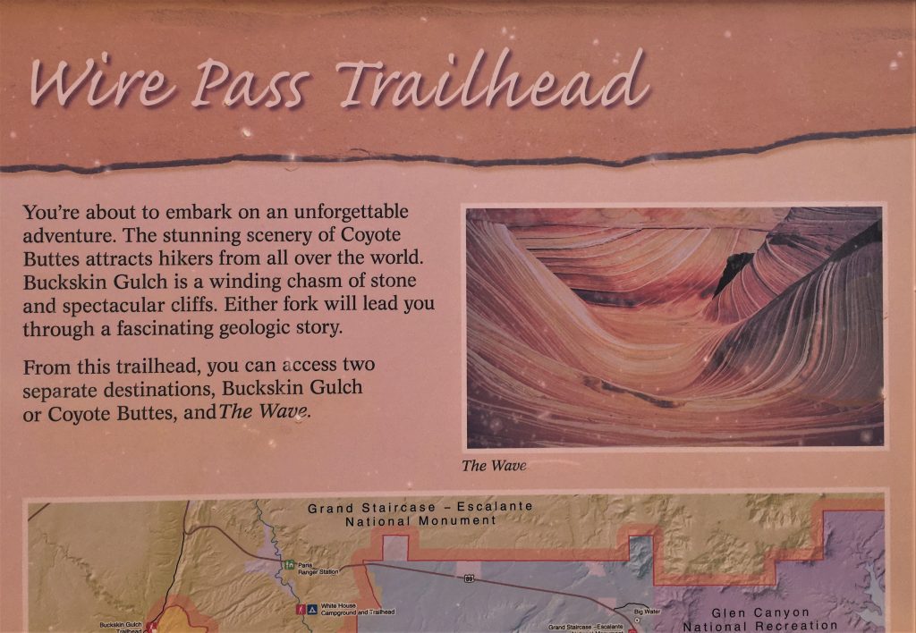
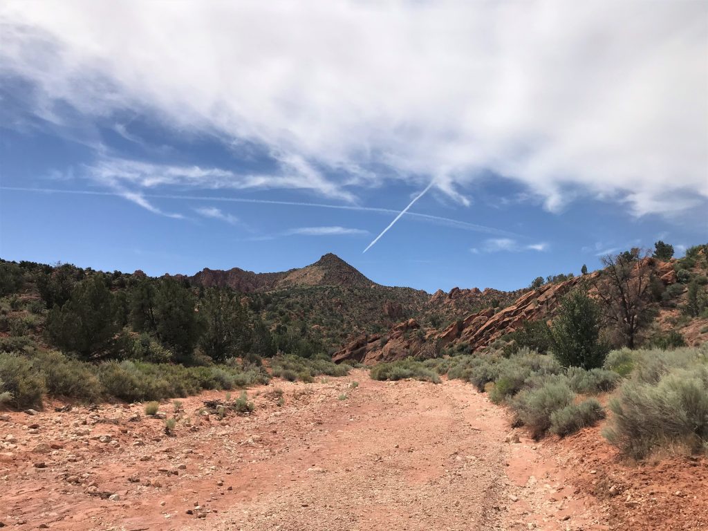
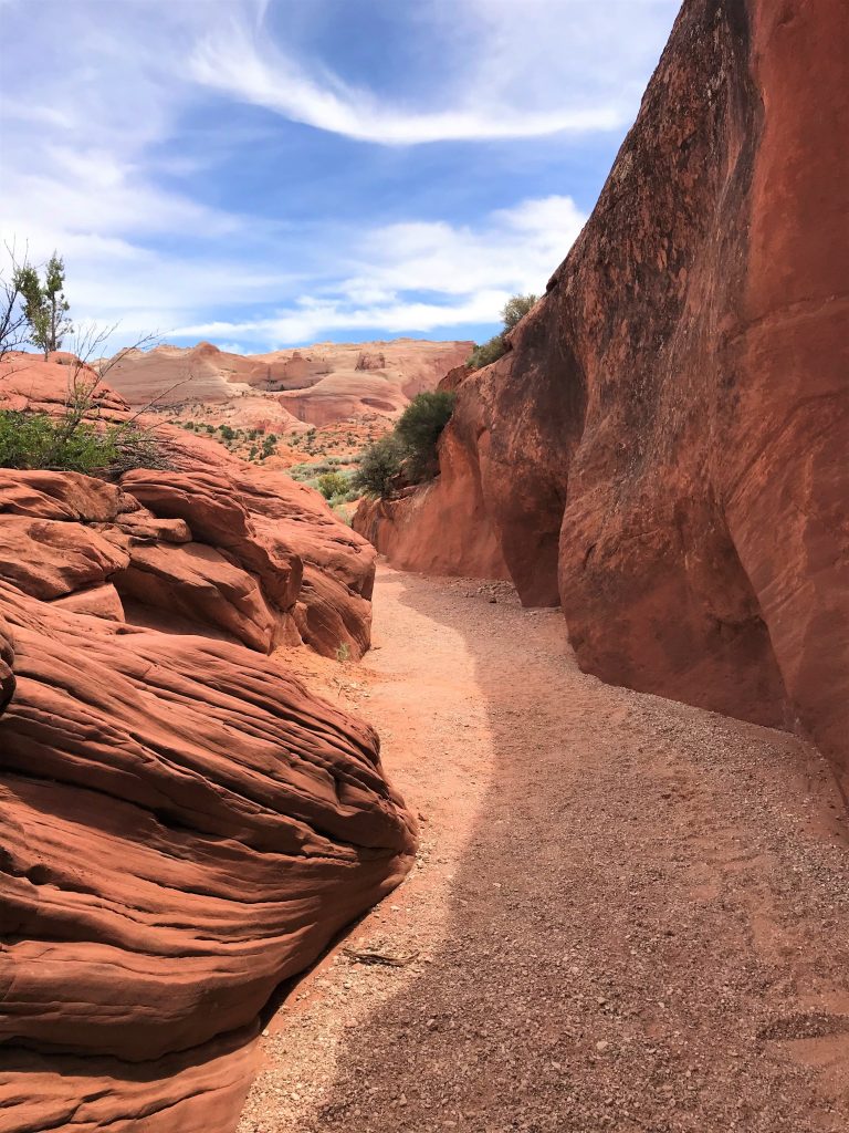
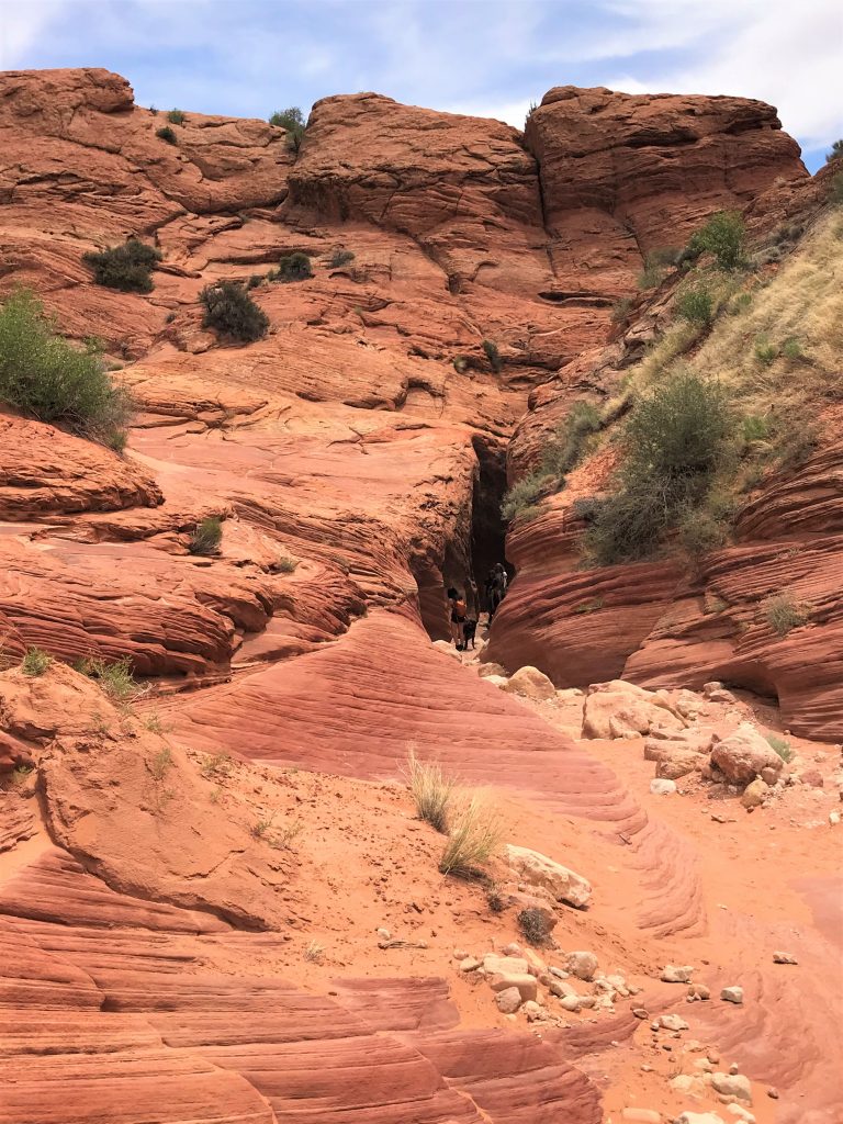
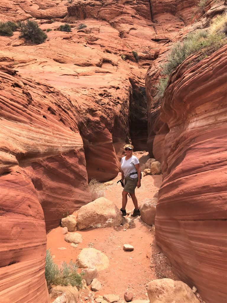
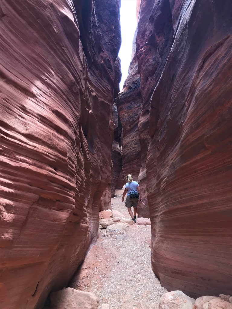
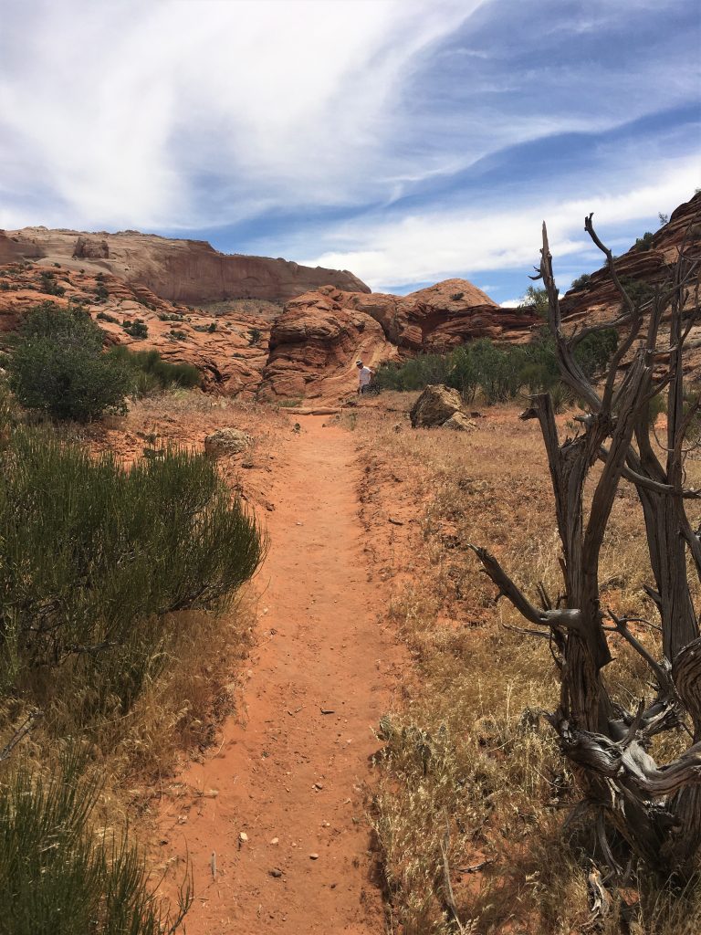
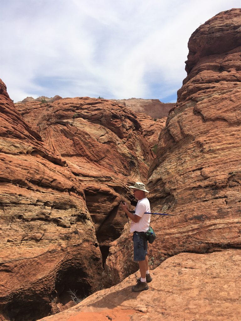
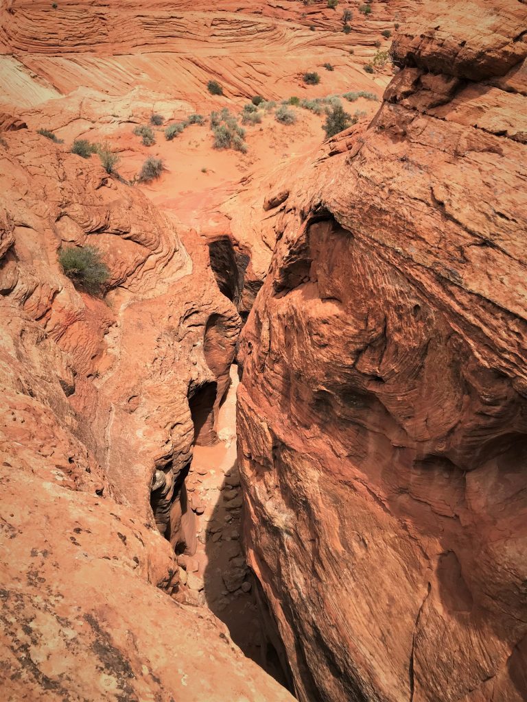
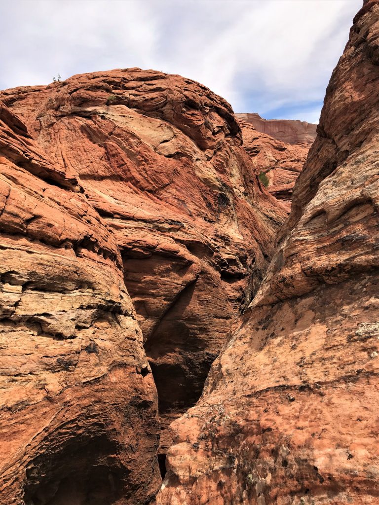
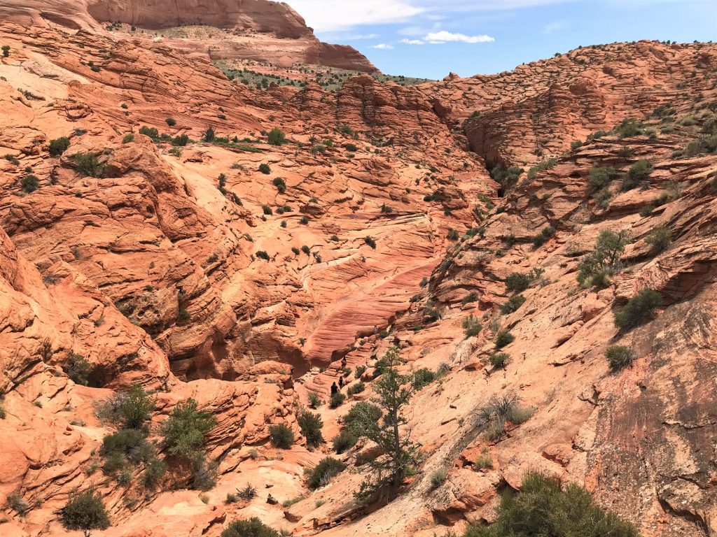
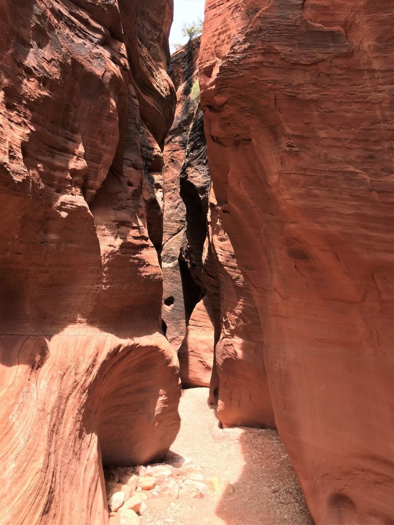
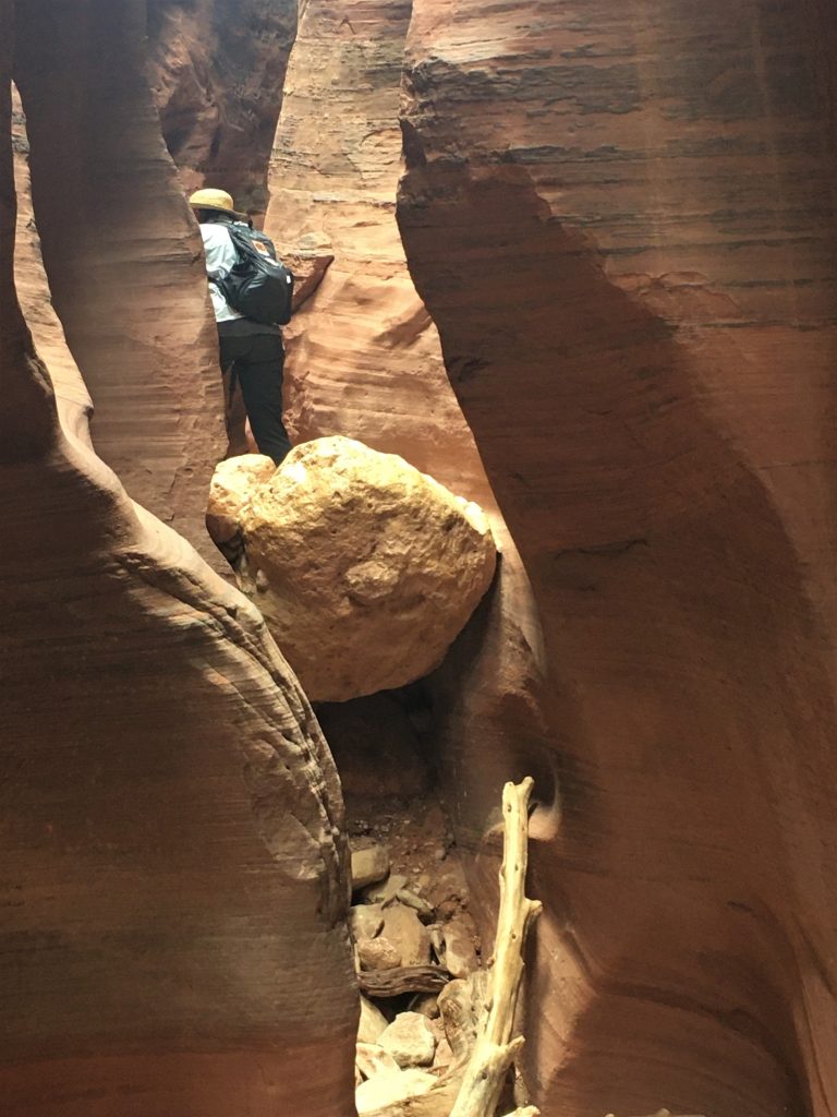
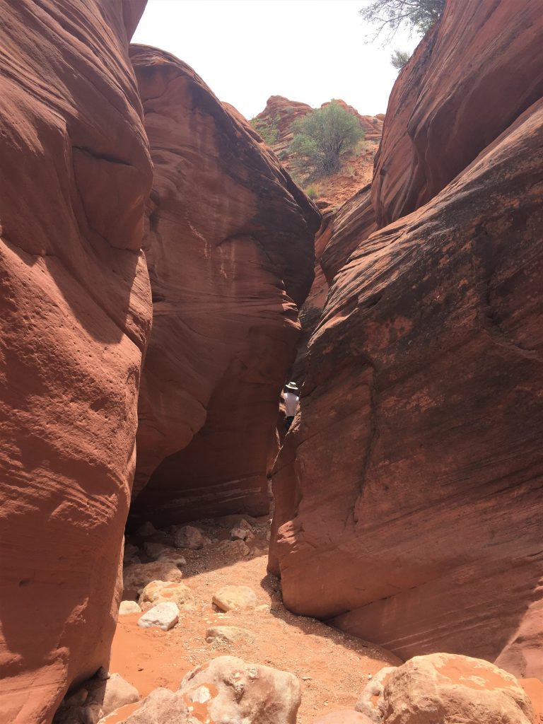
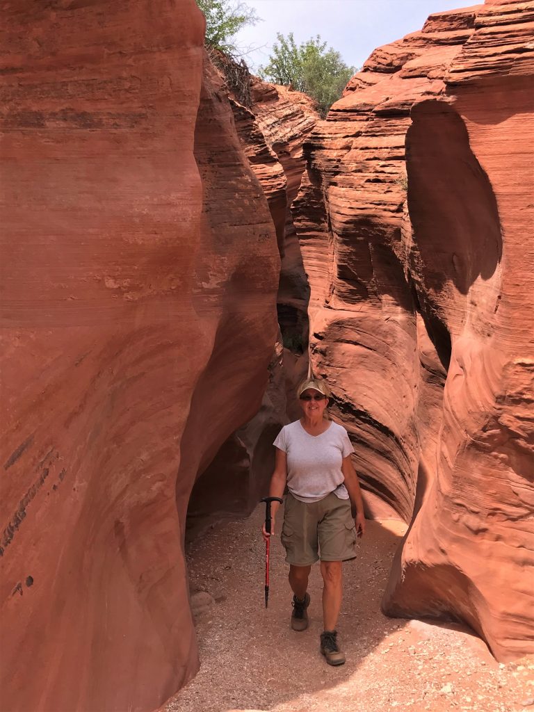
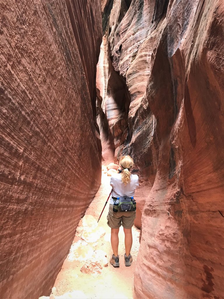
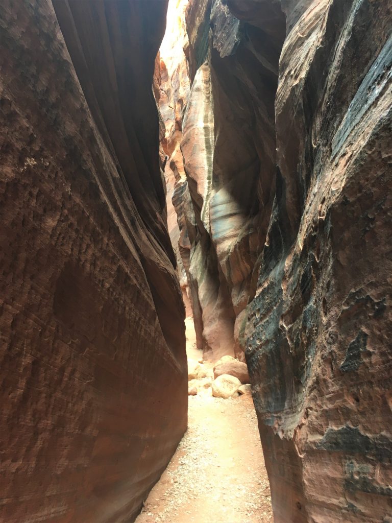
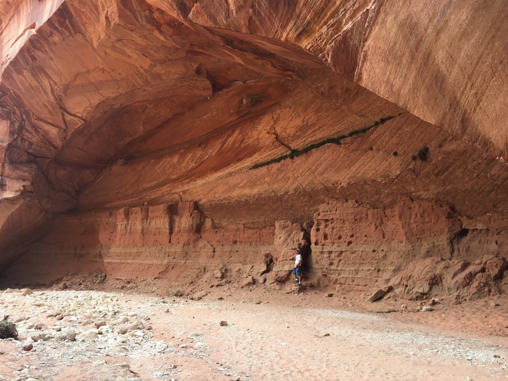
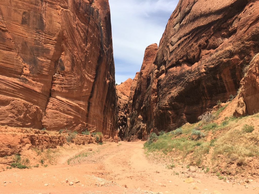
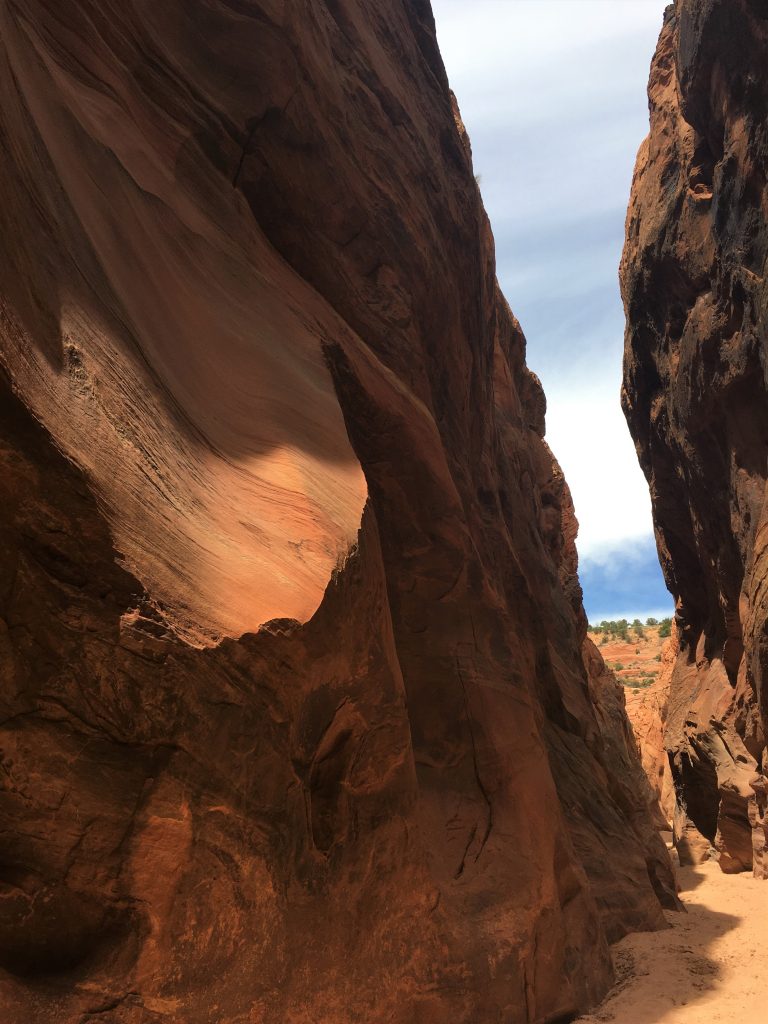
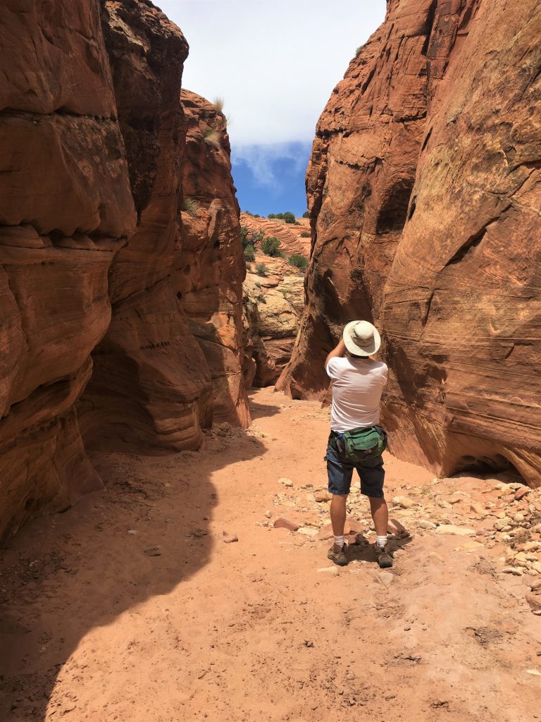
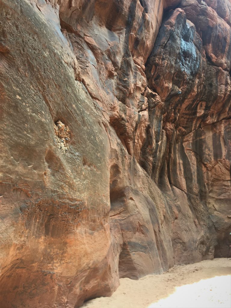
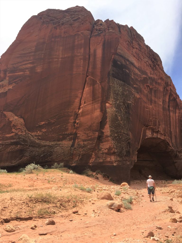
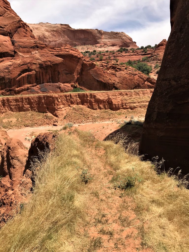
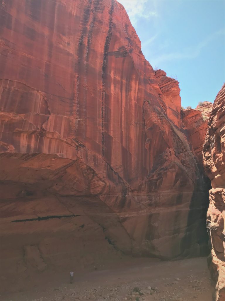
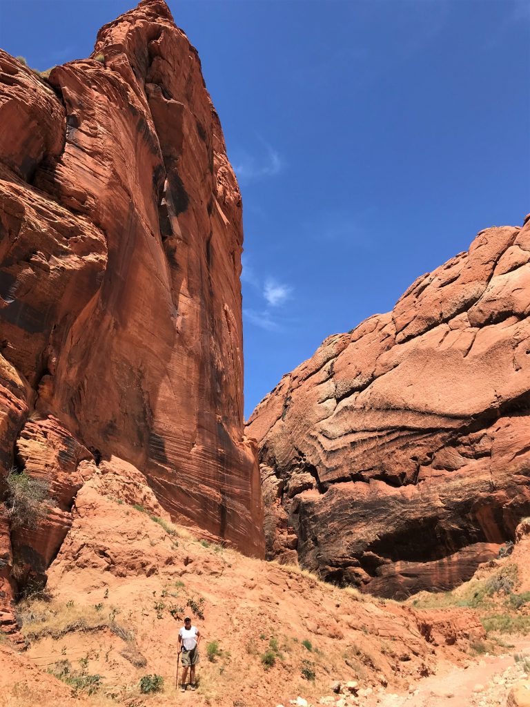
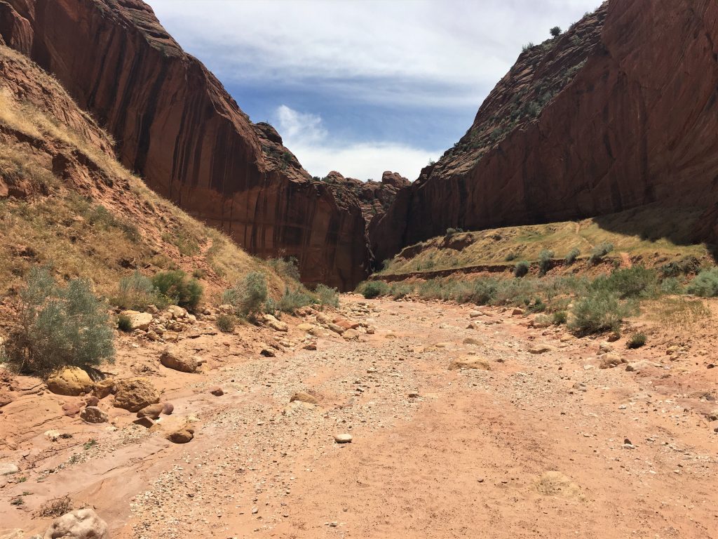
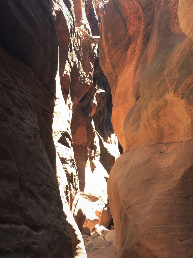
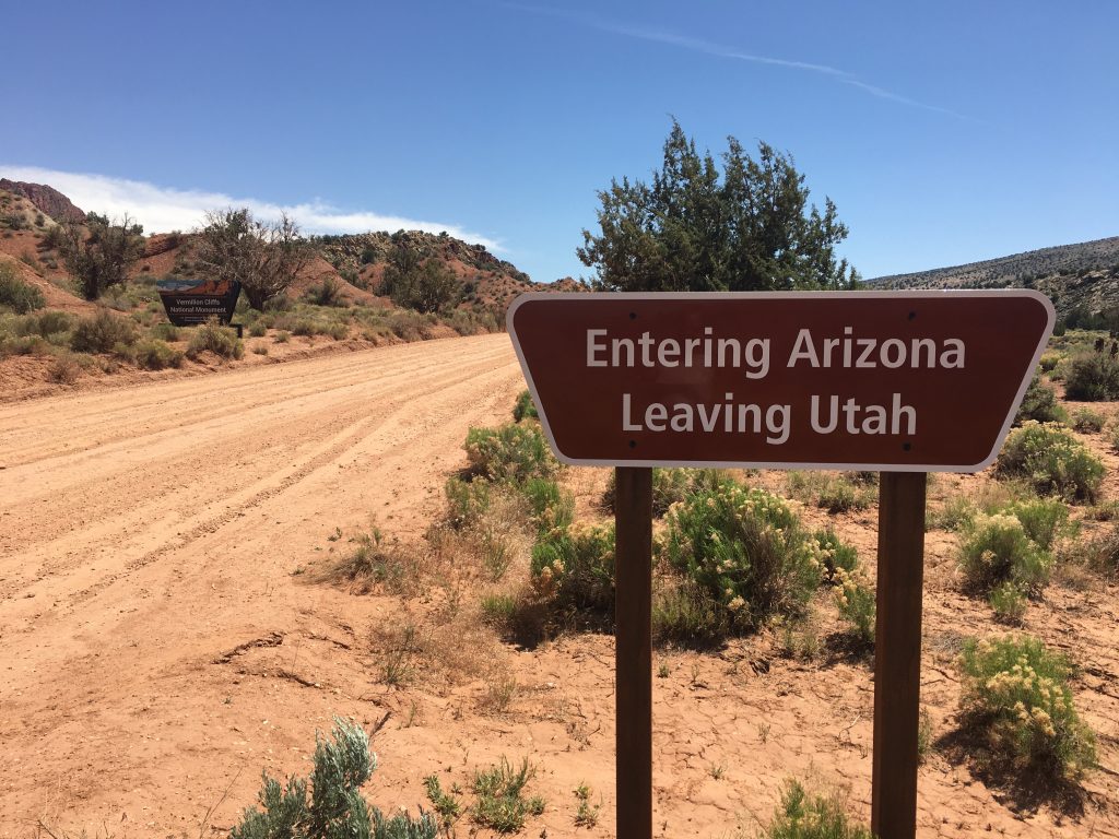
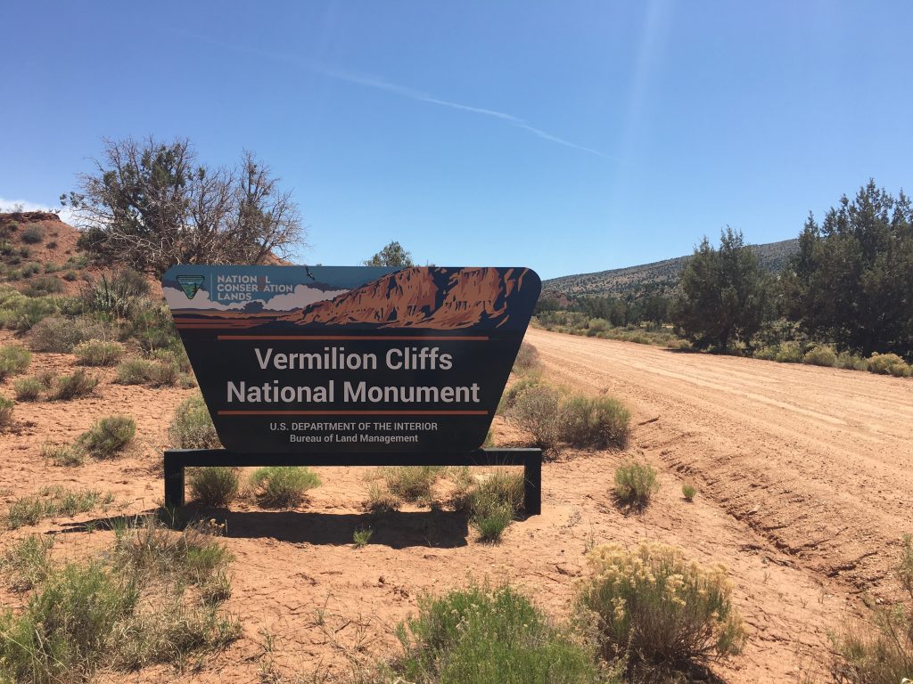
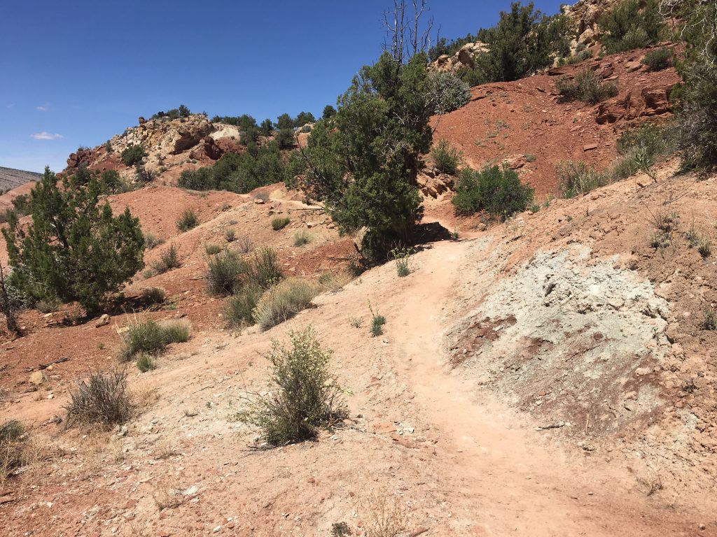
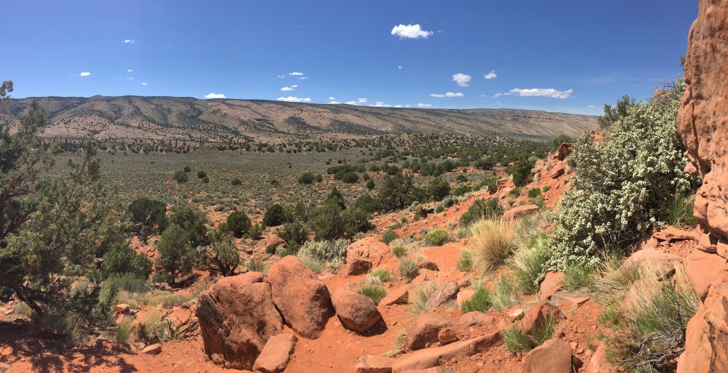
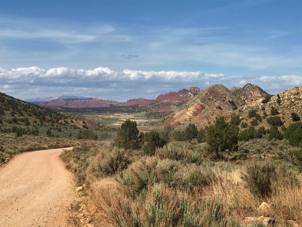
Afterwards, we went in search of the slot canyon the Park Ranger told us about yesterday – Buckskin Gulch. Located in the Paria Canyon/Vermillion Cliffs BLM (National Park Bureau of Land Management) area, there is very little in the way of developed trails. Just as with Toadstools, you just follow previous foot traffic and pray all those people knew where they were going. 😊 At 15 continuous miles, it’s the longest slot canyon in the world! Of course, we had no plans of walking the entire thing, but we did want to at least experience it.
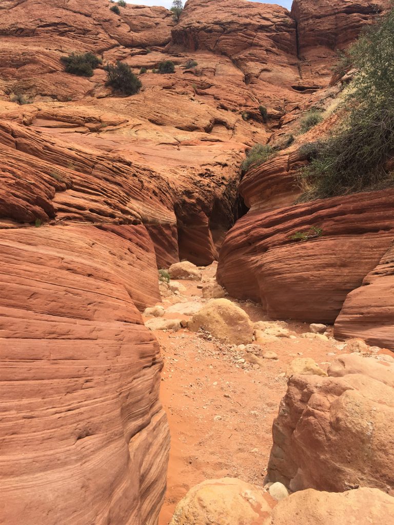
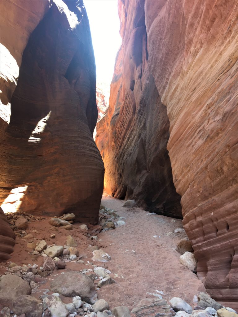
Slot canyons are narrow types of canyons that are deep rather than very wide. An extreme example of a deep but narrow slot canyon would be one that is 3 feet or less at the top with a 100 foot or deeper drop. These canyons are formed over millions of years when water rushes through any kind of rock, but especially sandstone or limestone. It takes a very special combination of water and rock for a slot canyon to form, making them somewhat rare overall.
The United States is home to the area with the densest amount of slot canyons in the world — Southern Utah. The desert area of Utah south of Interstate 70 contains over 1,000 slot canyons. Northern Arizona also has a larger number of slot canyons, particularly those that lie on land belonging to the Navajo Nation near Page, Arizona. New Mexico and California are also both home to notable slot canyons. ~ Antelope Canyon/Navajo website
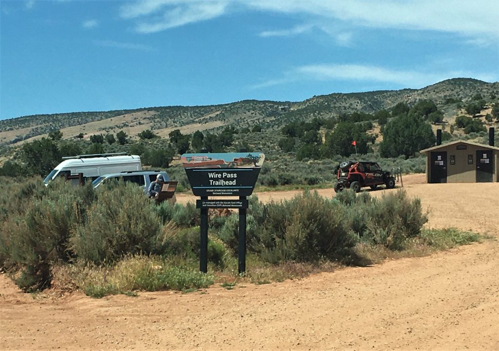
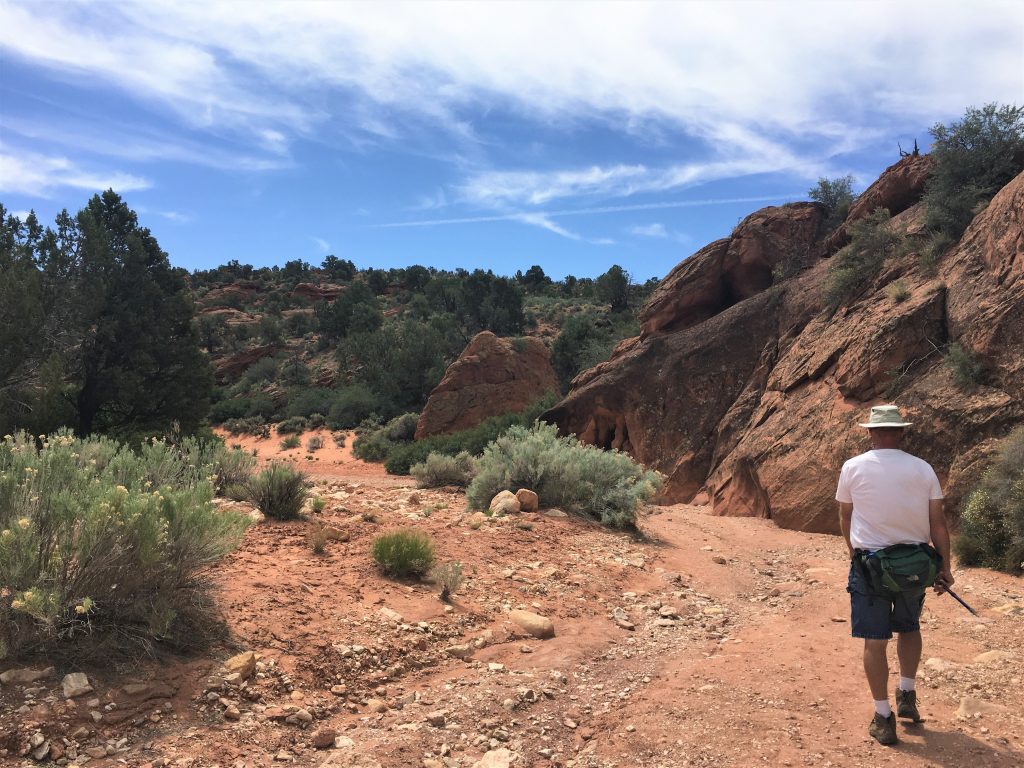
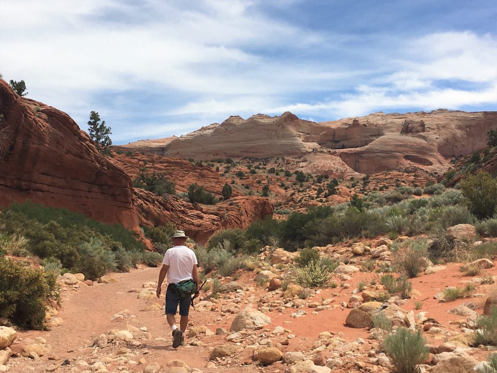
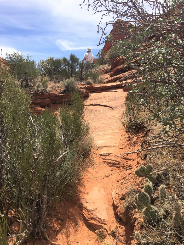
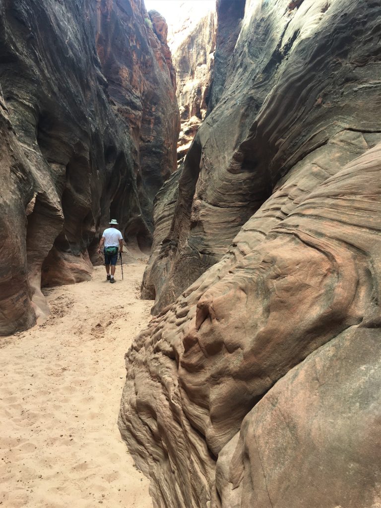
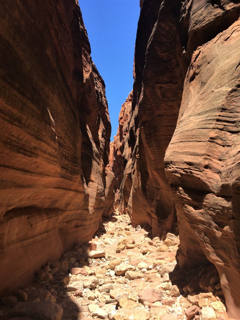
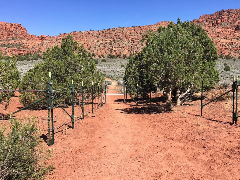
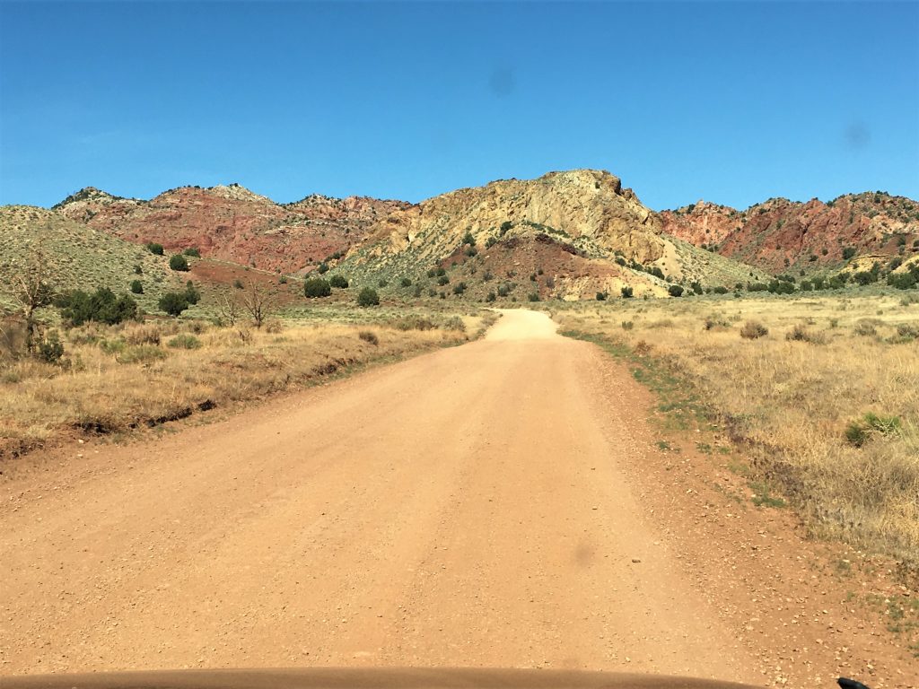
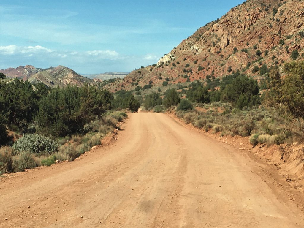
Driving only on undeveloped roads and with the help of our gps, we were able to find a trail head point for the canyon, but there was no one else there. Normally, we’d consider that a real blessing, but today, with the popularity of the canyon, we found that strange. So Blaine studied the large area map that was there and found another similar slot trail that actually intersected with Buckskin.
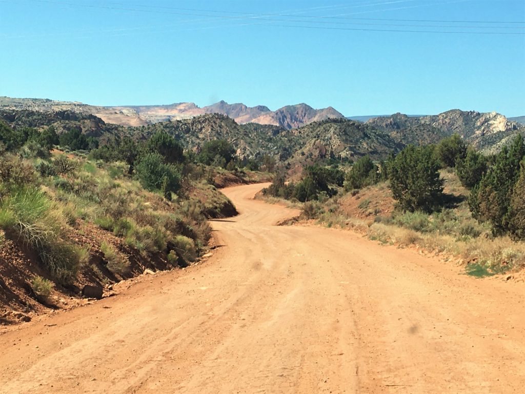
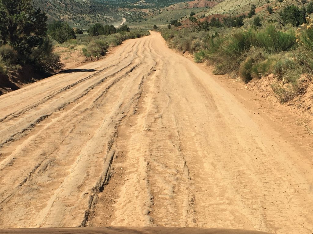
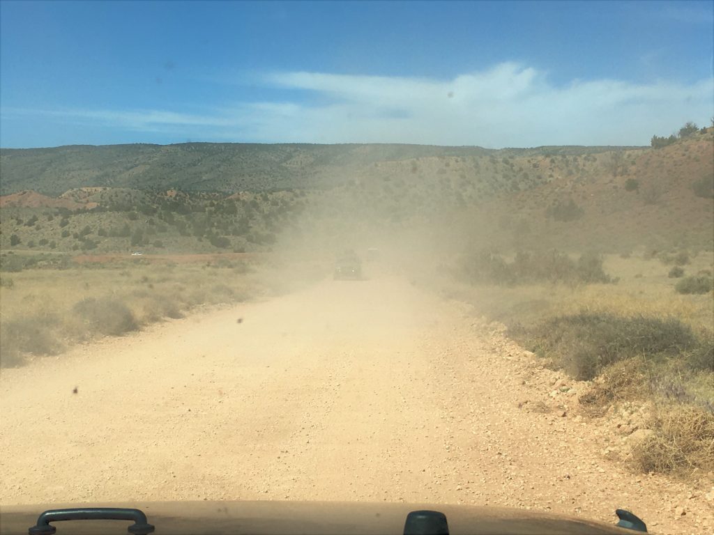
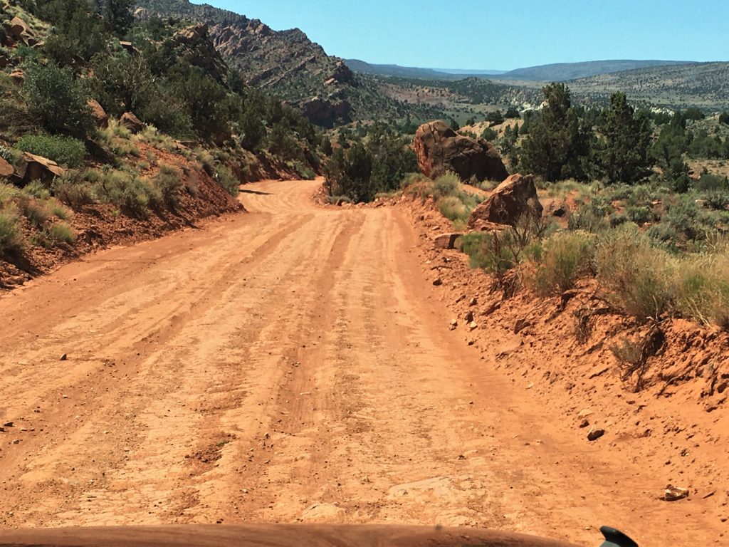
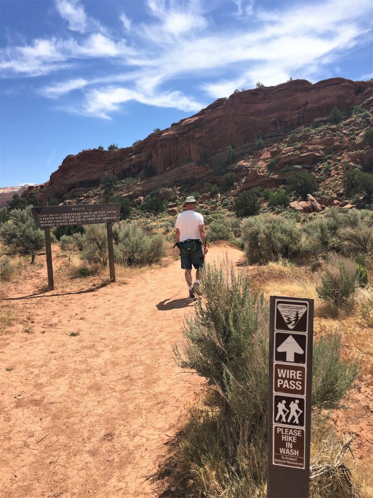
We drove about 4 miles down the road to the Wire Pass trail head and started from there. And there were plenty of cars in the parking lot. 😊
They only allow a very few people each day.
We were told that people wait a very long time to get their name drawn.
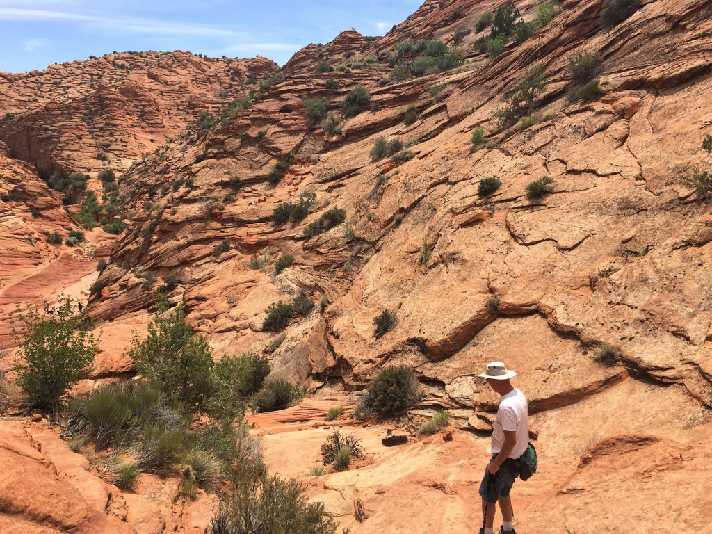
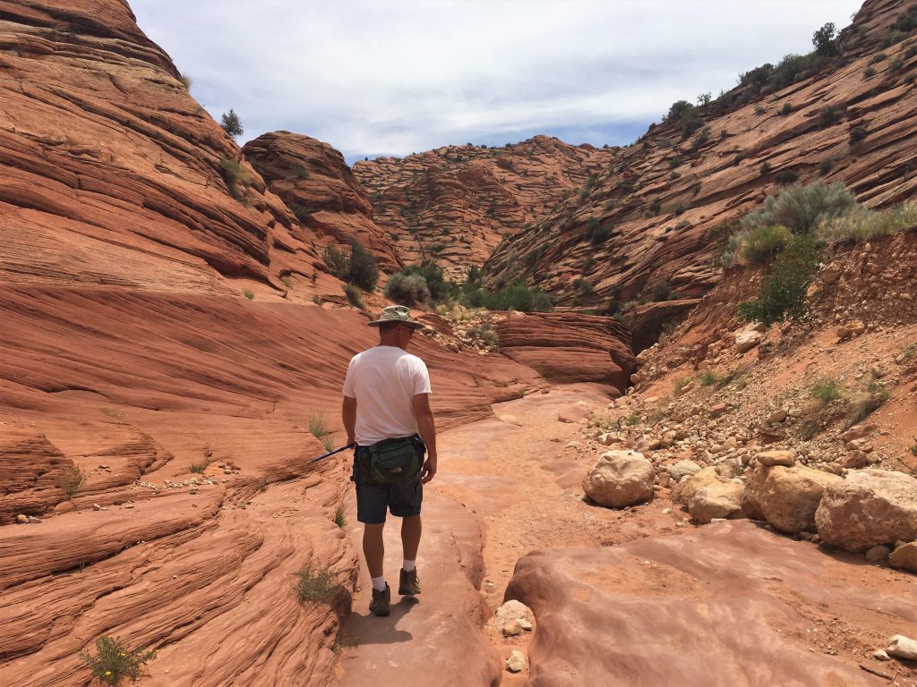
Once again, it was promising to be a very warm day, but as we began, it wasn’t too bad. Still, we knew the long walk back to the Jeep would prove to be another scorcher. Showers again tonight! 😊
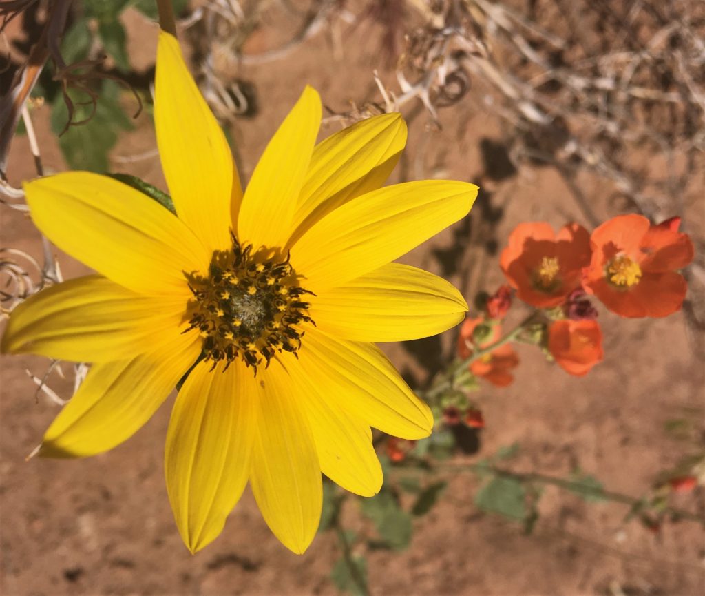
Beautiful!
We passed a couple coming back, and talked to them for a few minutes. They told us of an area that would seem “a bit sketchy going down, but make sure you do it”.
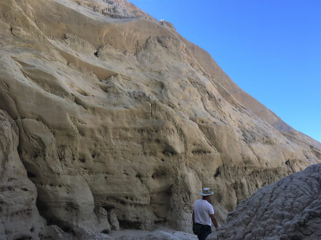
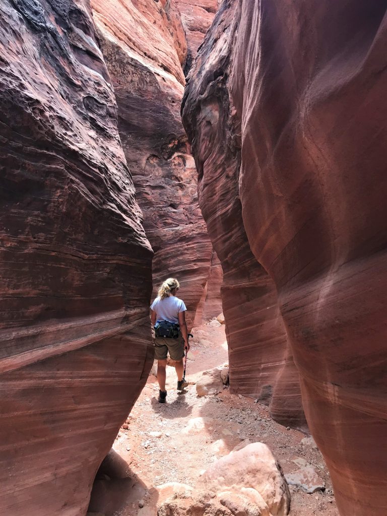
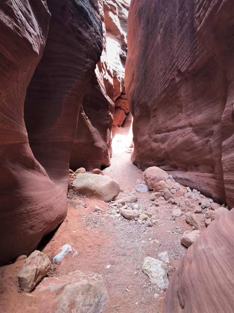
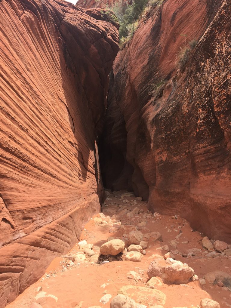
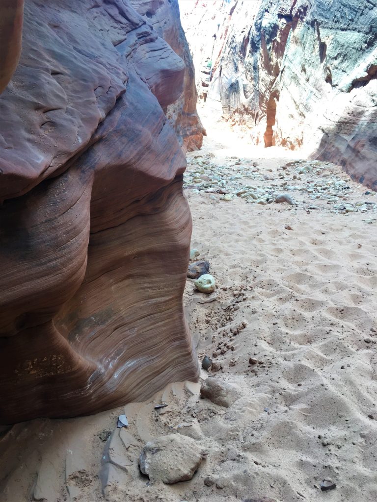
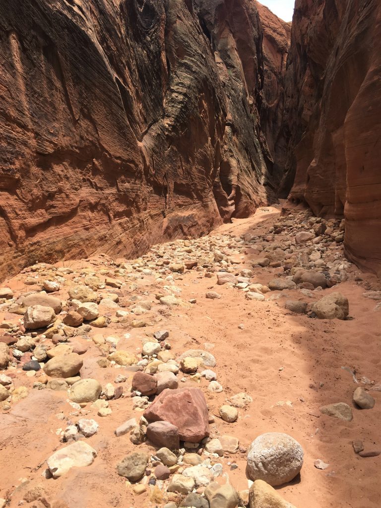
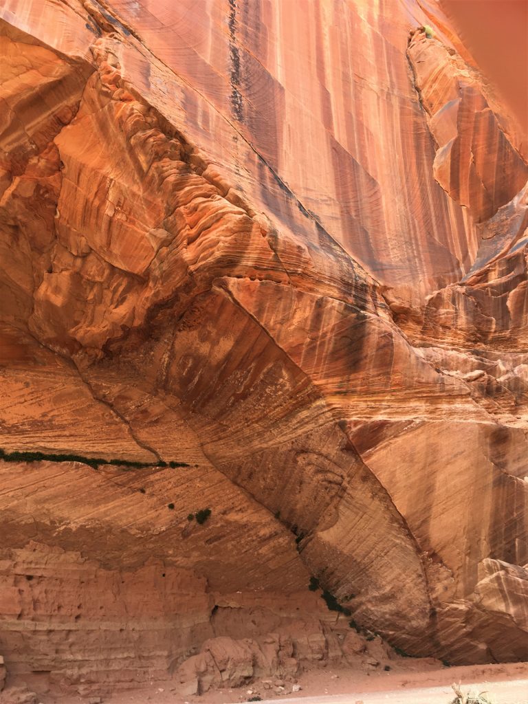
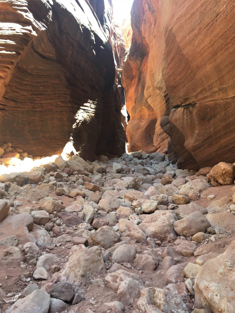
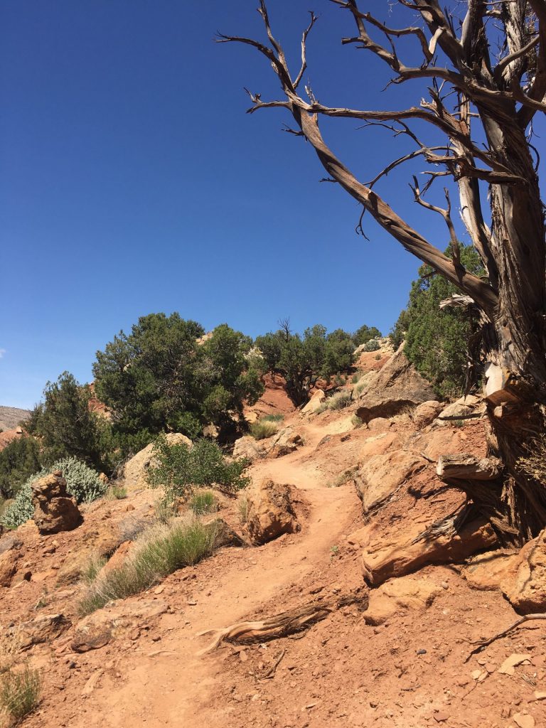
As I mentioned, there are no developed trails here. In other words, there are no trail markers to help you find your way, and it’s really difficult to follow any footprints when there are only rocks to walk on. Fortunately, others had set up a few rock piles (cairns) in some strategic places.
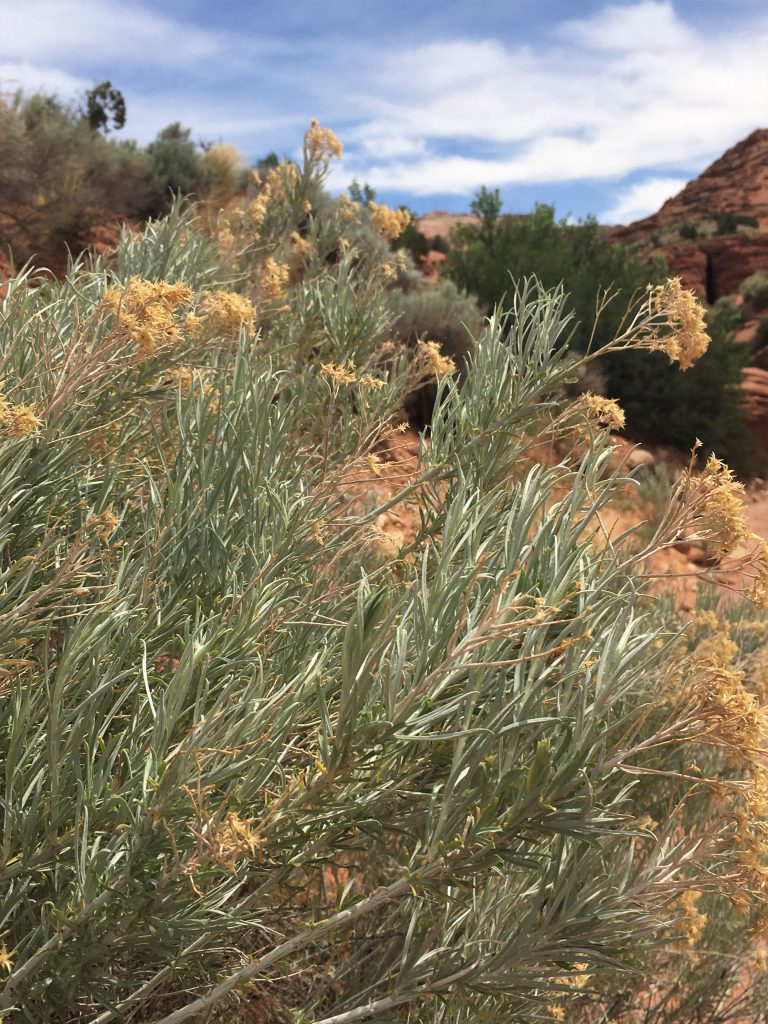
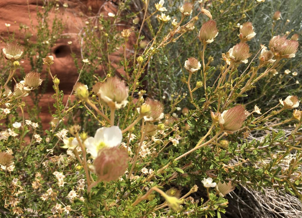
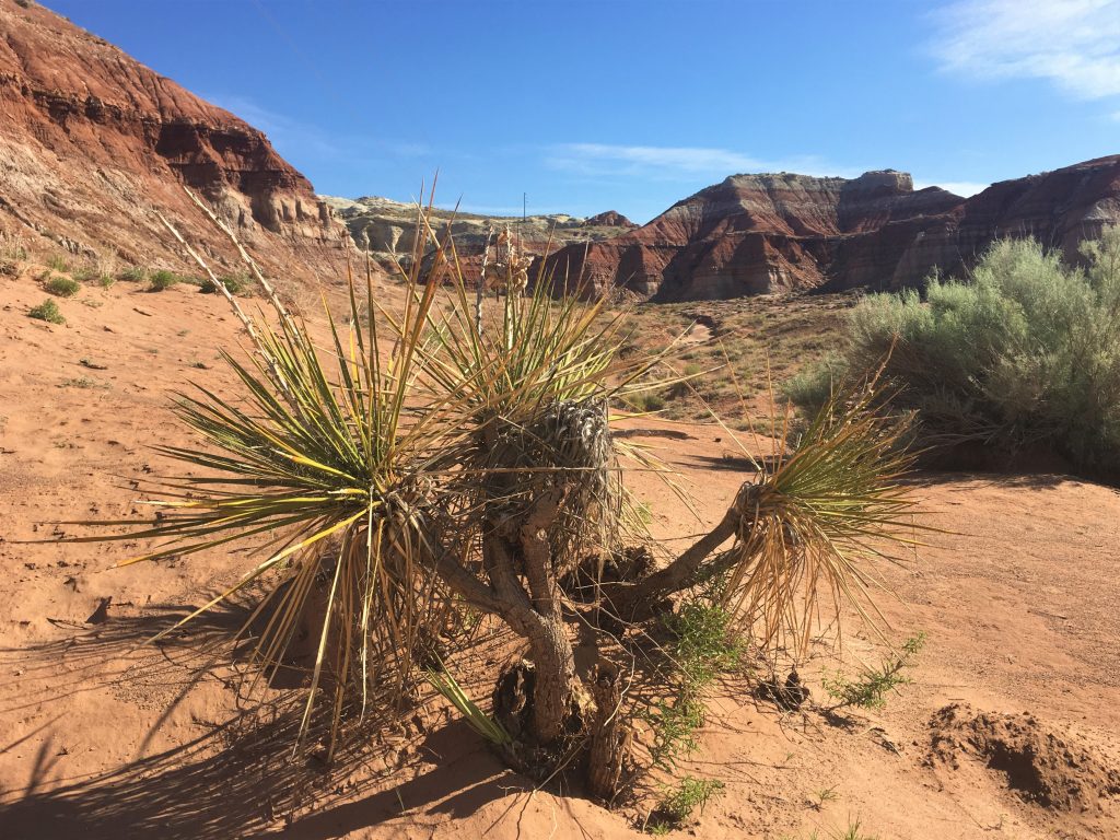
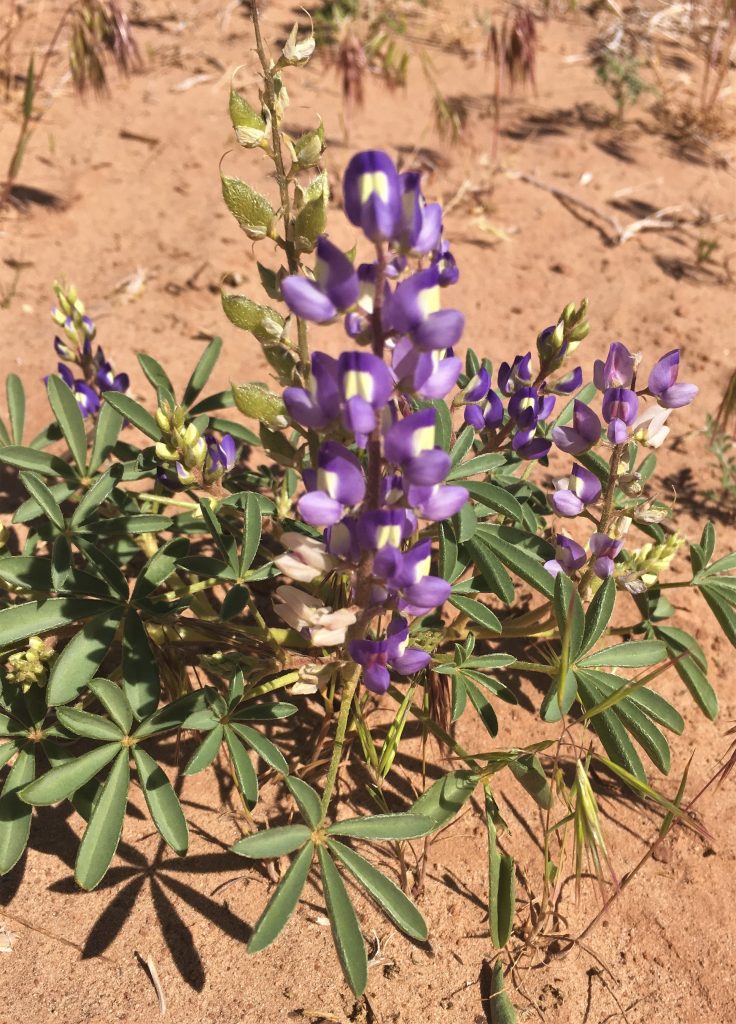
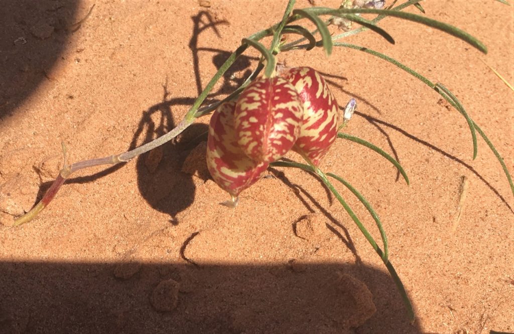
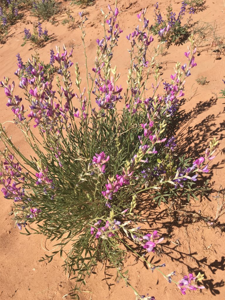
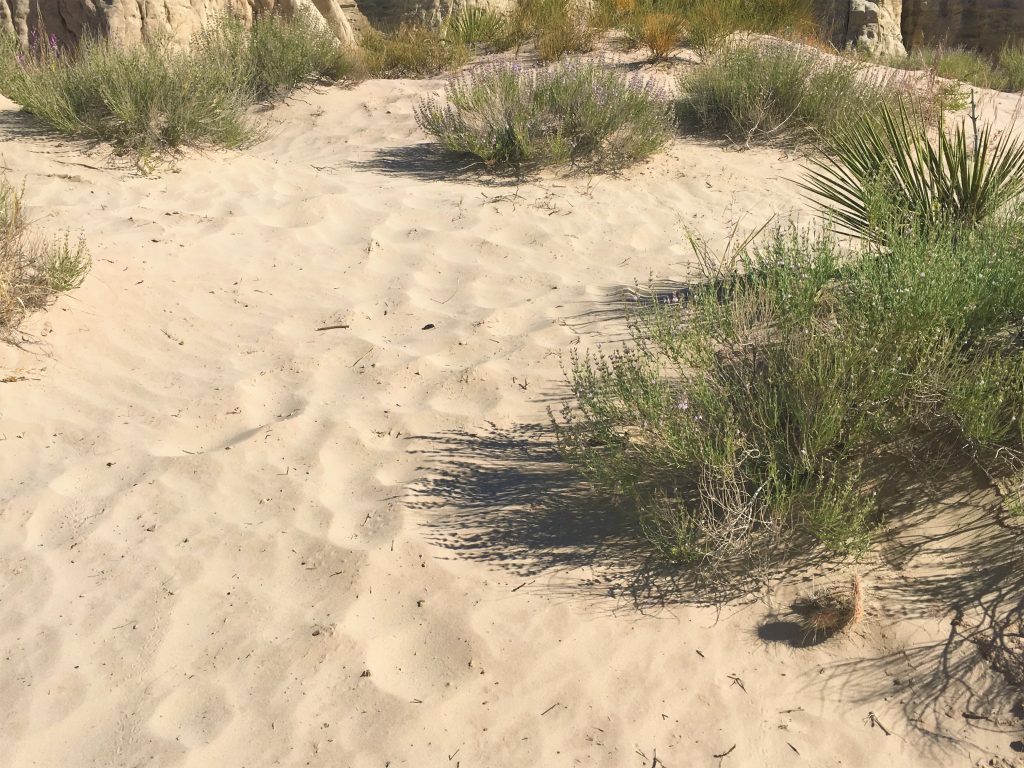
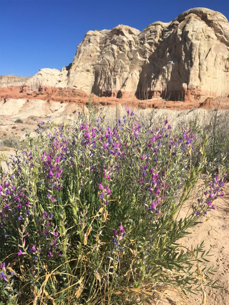
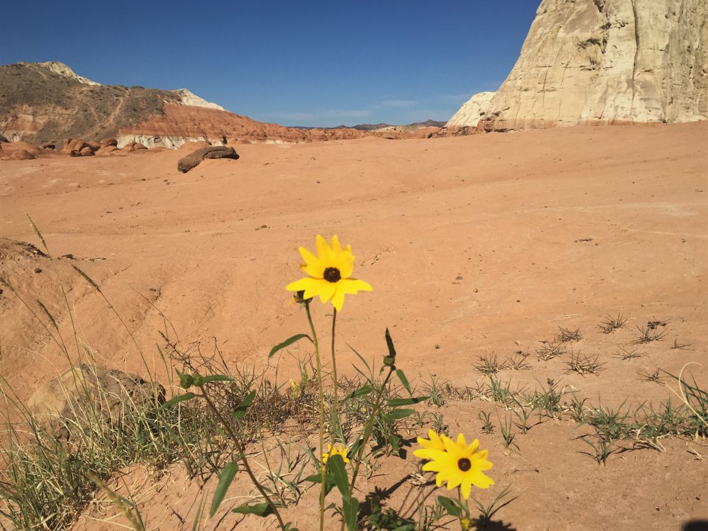
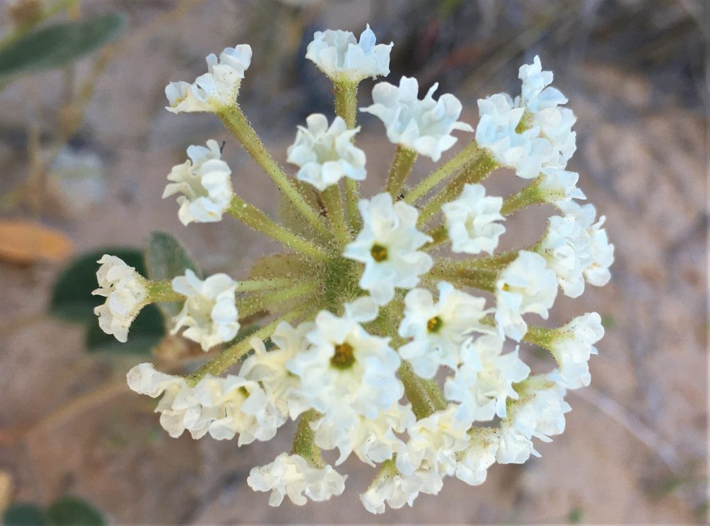
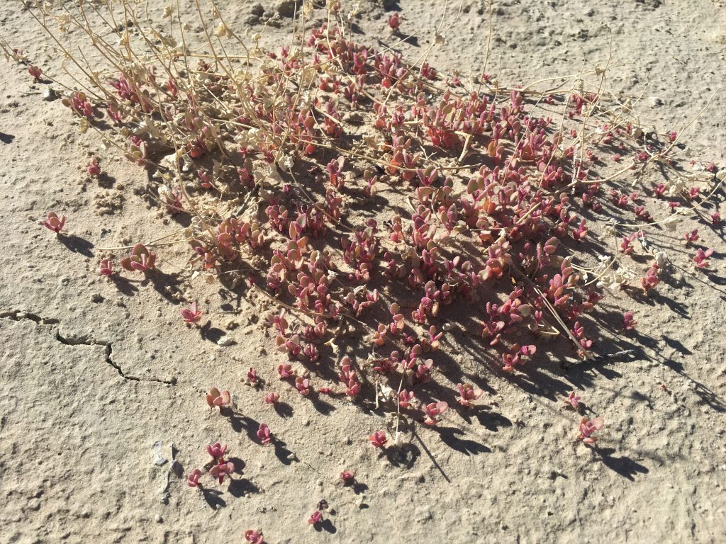
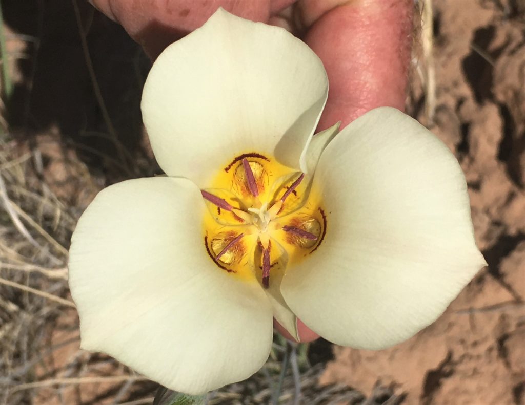
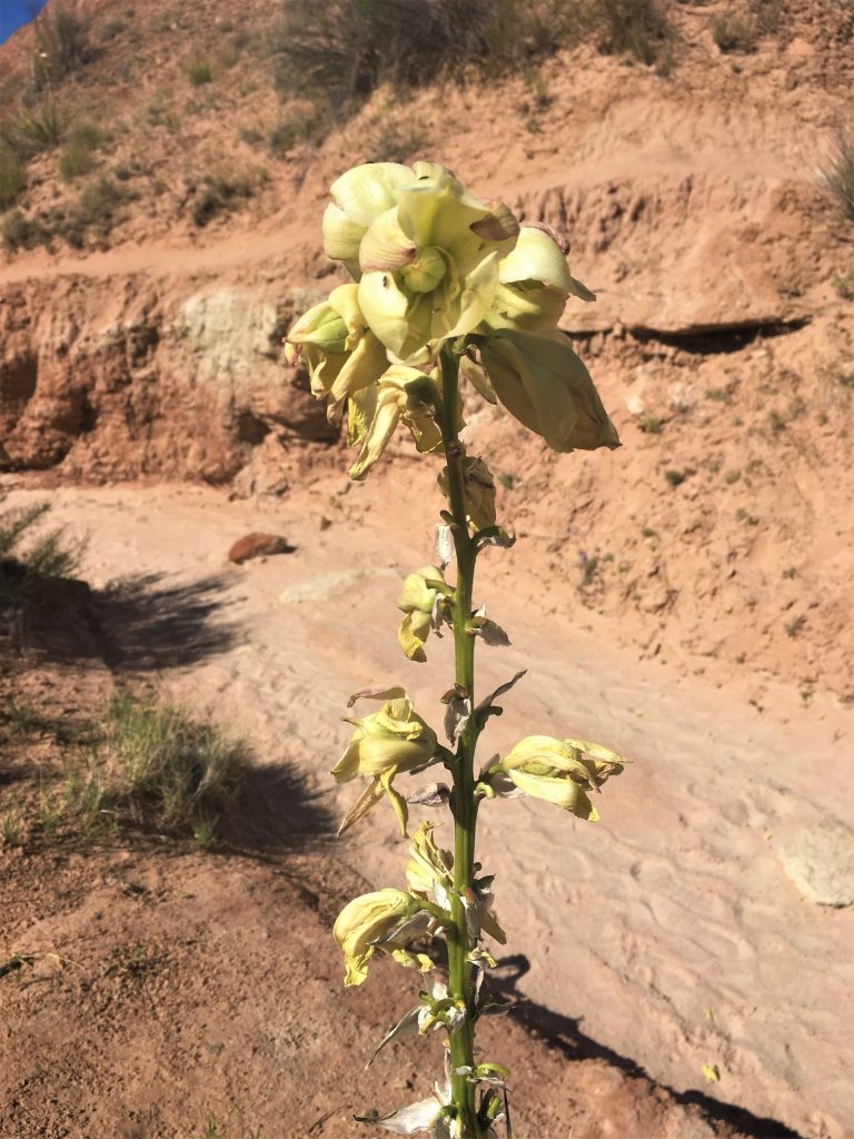
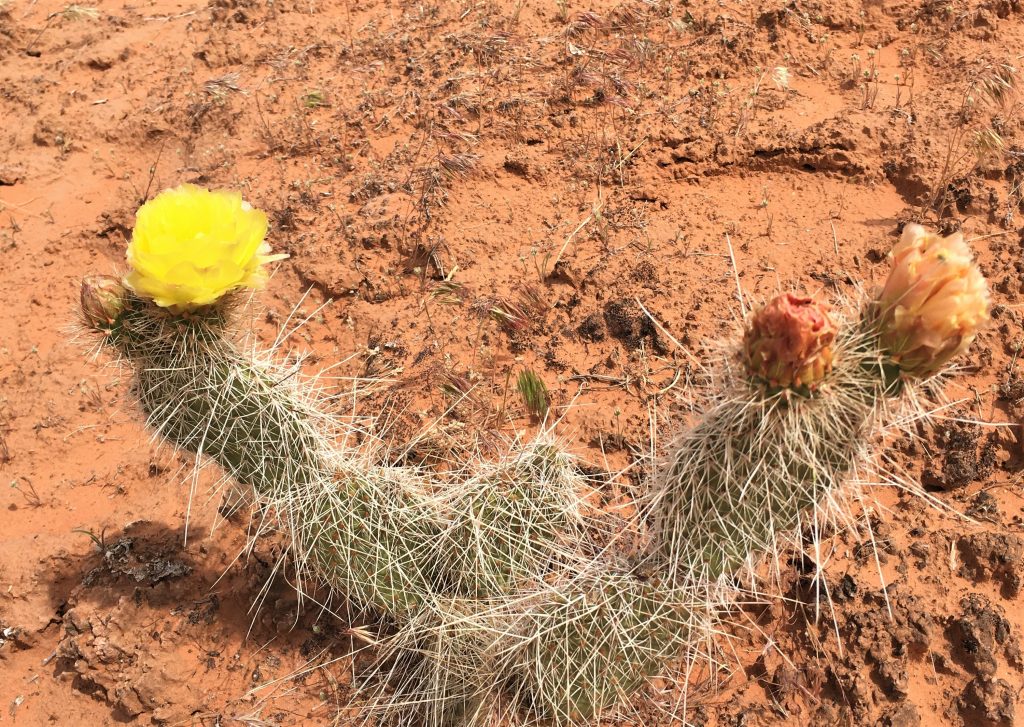
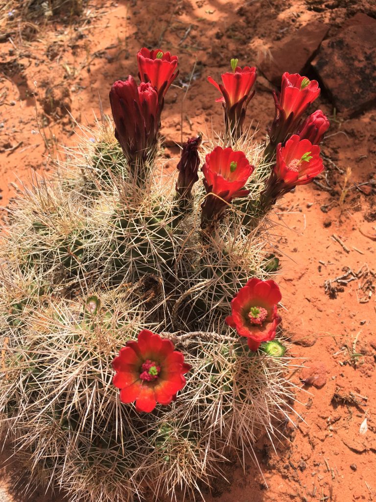
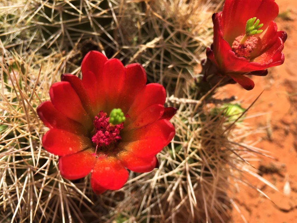
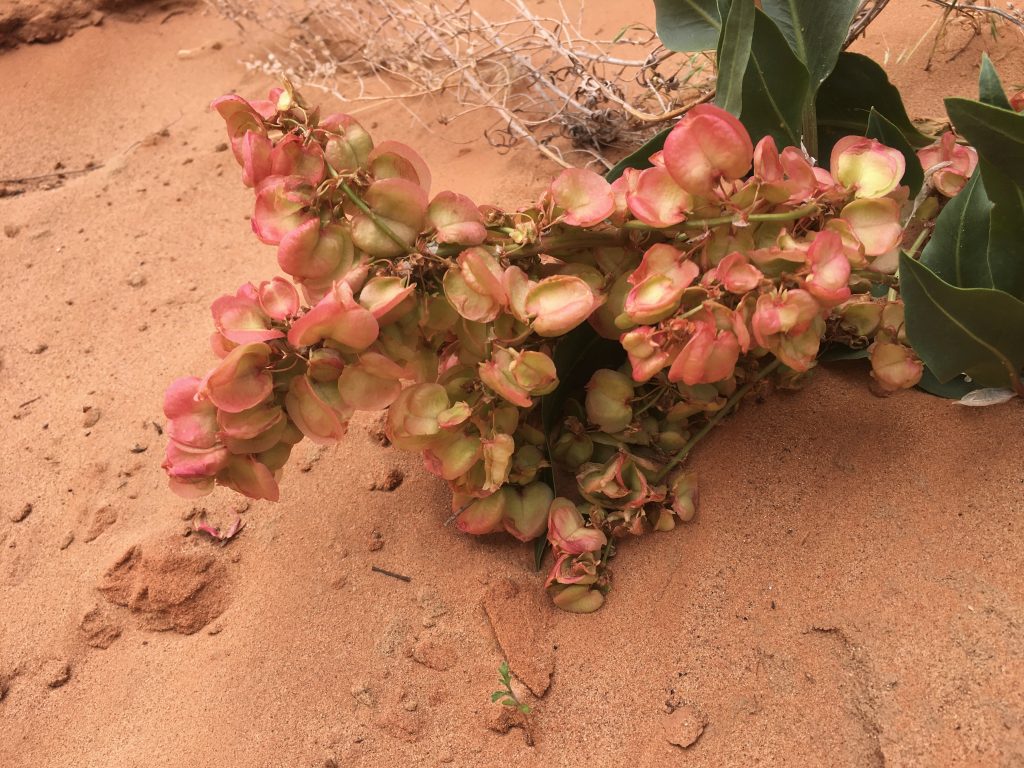
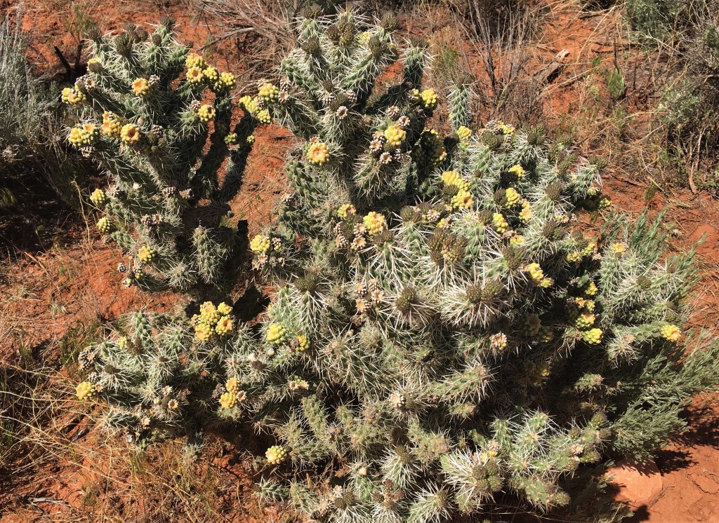
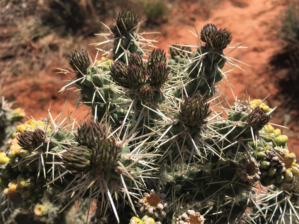
That bushy thing is coming right out of the center of the flower!
But we soon discovered it wasn’t the right one.
Somehow we got off-trail. : )
It just turned out that way. I have no idea why.
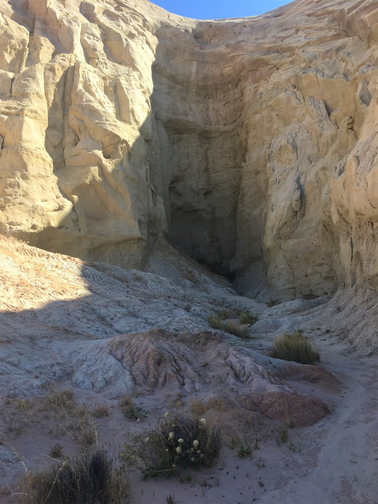
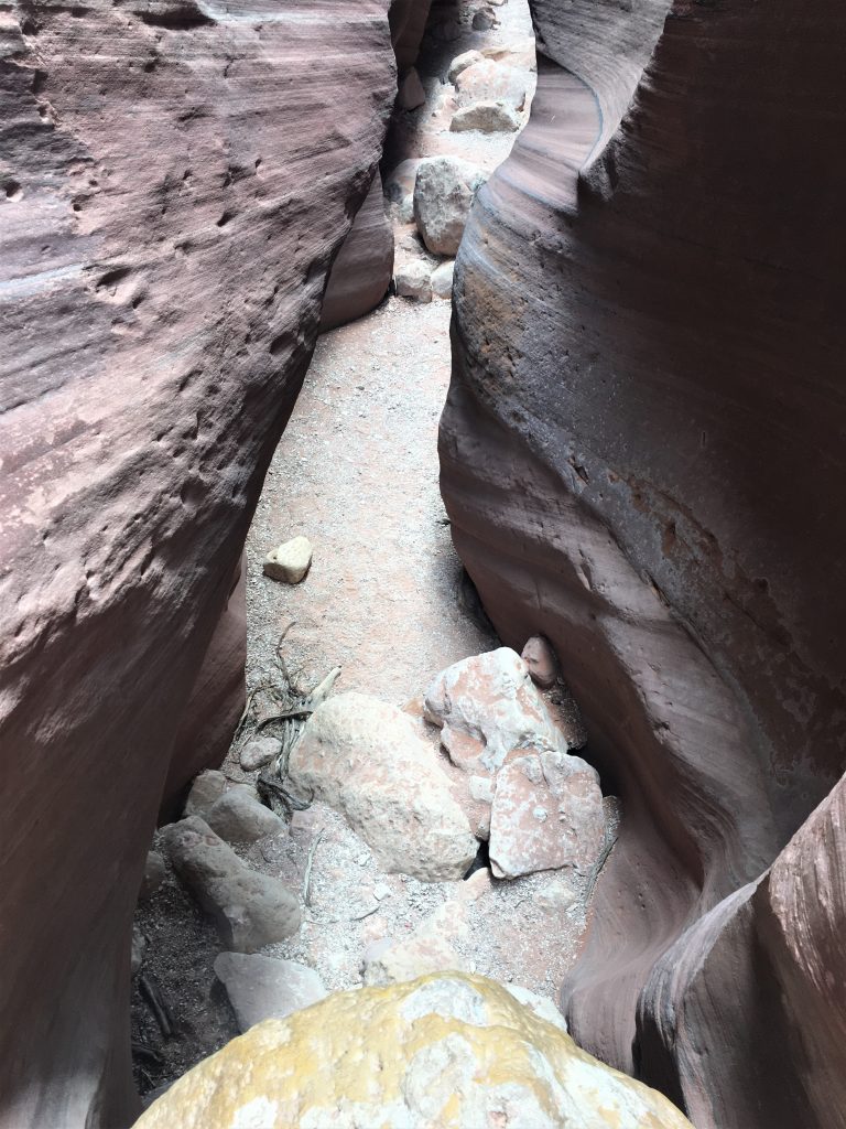
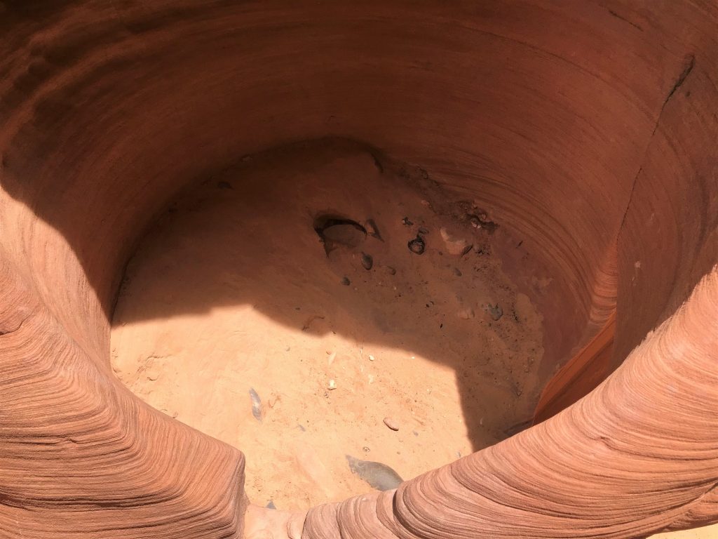
But it’s as far as we could go into the canyon because of this 8-10′ drop-off.
We could hear voices above us though, so we went back and tried again.
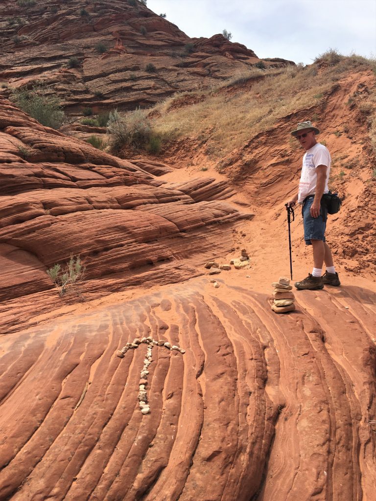
At one place, someone even made an arrow out of rocks. Thanks! (even though we walked right by it the first time)
when we went the wrong way.
That’s where we’re headed.
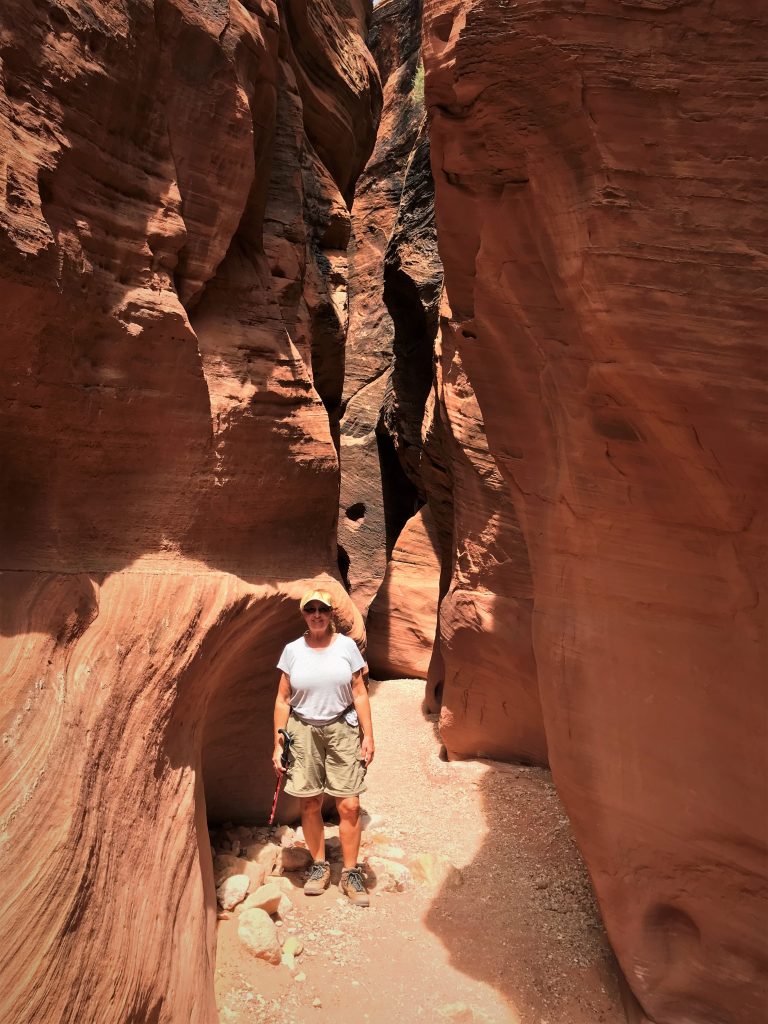
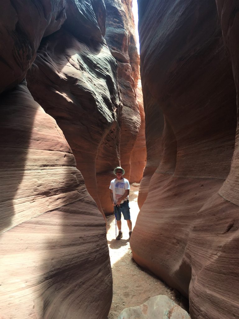
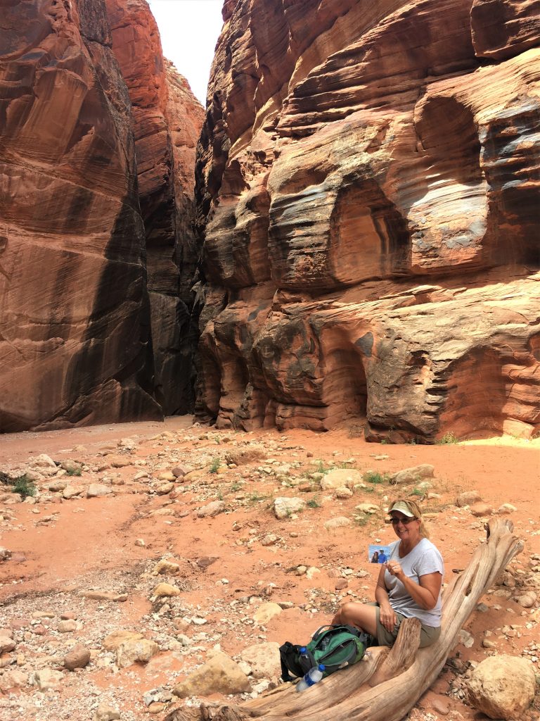
So here we are, inside a slot canyon. How great is that?!?!? What an experience! We’re really hoping and praying to be able to get inside one at Zion. It all depends on whether they open it up to tourists by the time we get there.
We chose left because everyone else was walking right.
Plus that couple told us to turn right to go to the Buckskin Gulch intersection.
Up there’s where we got stopped before. : )
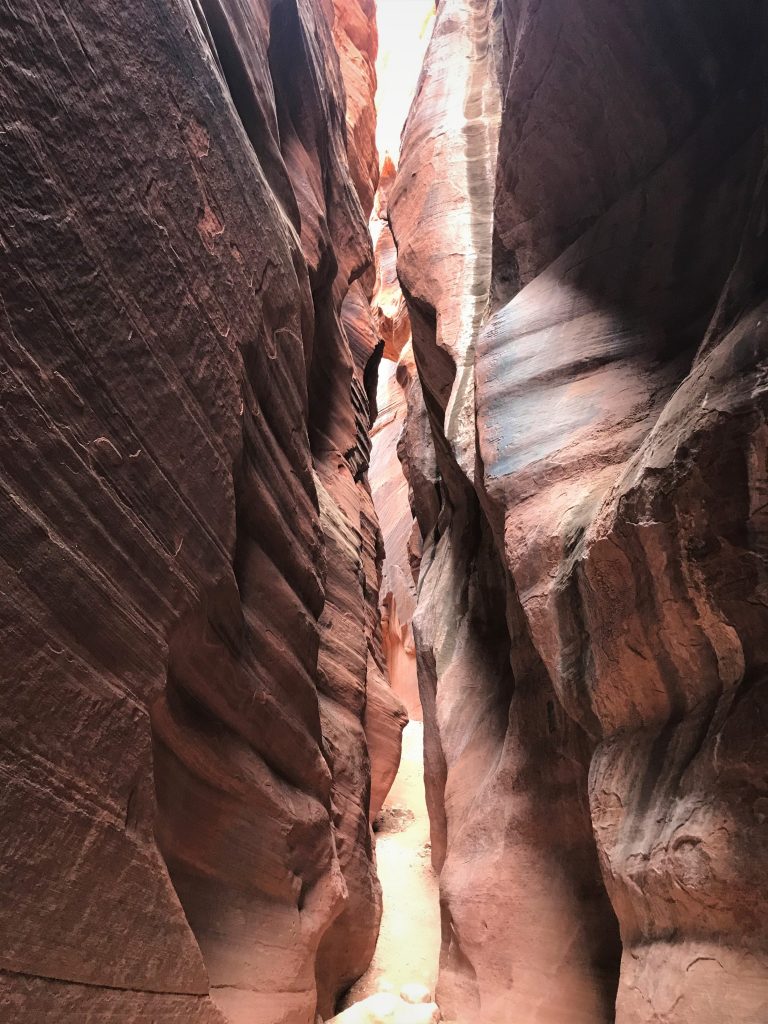
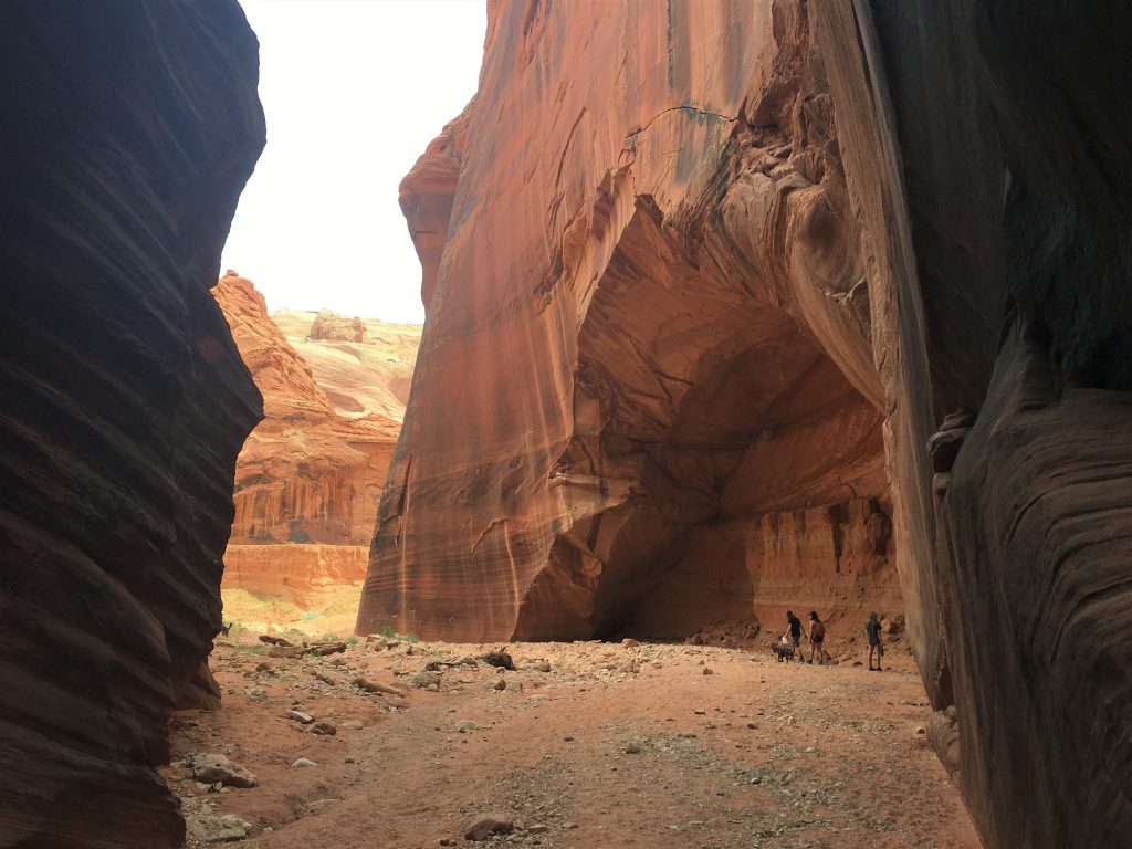
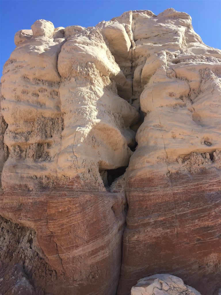
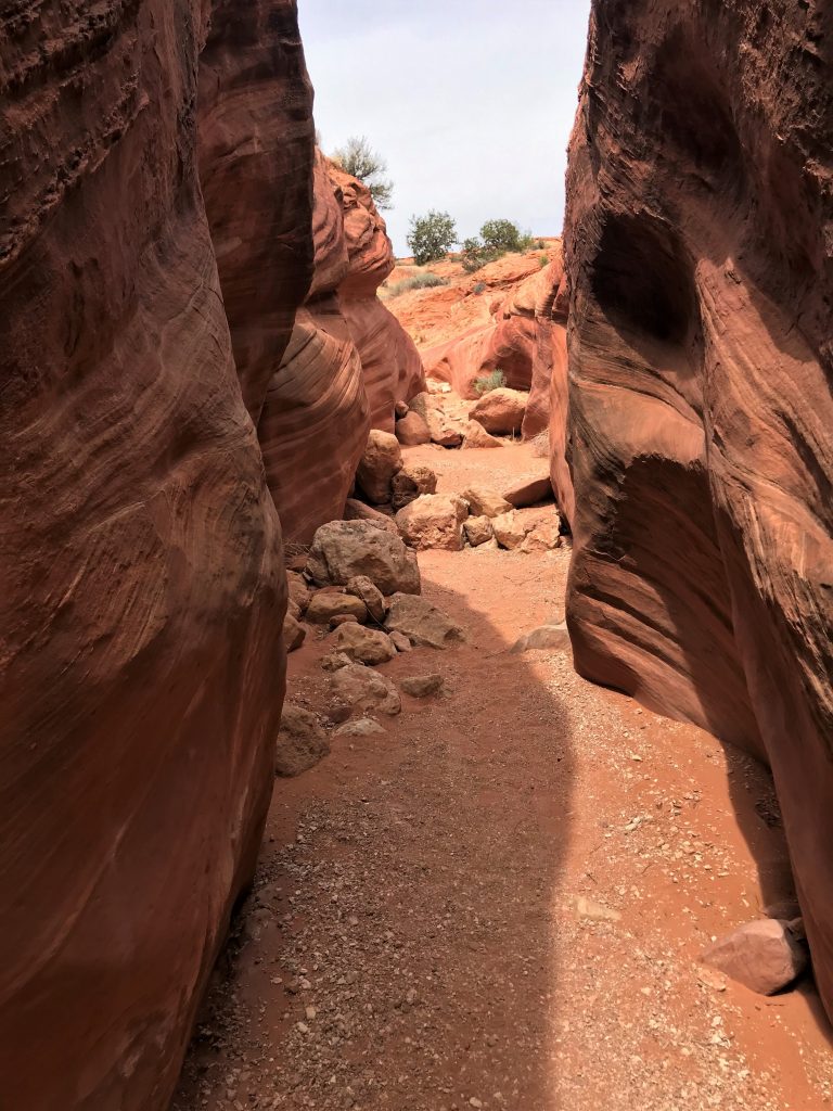
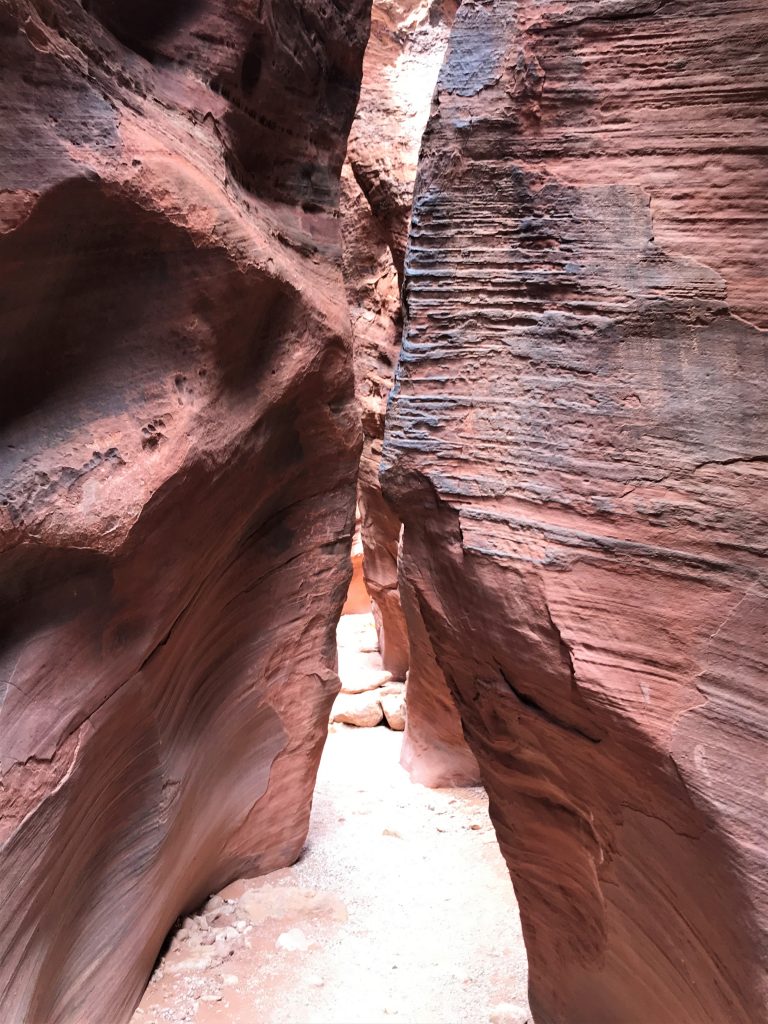
Just on the other side of that, is where Wire Pass intersects with Buckskin Gulch.
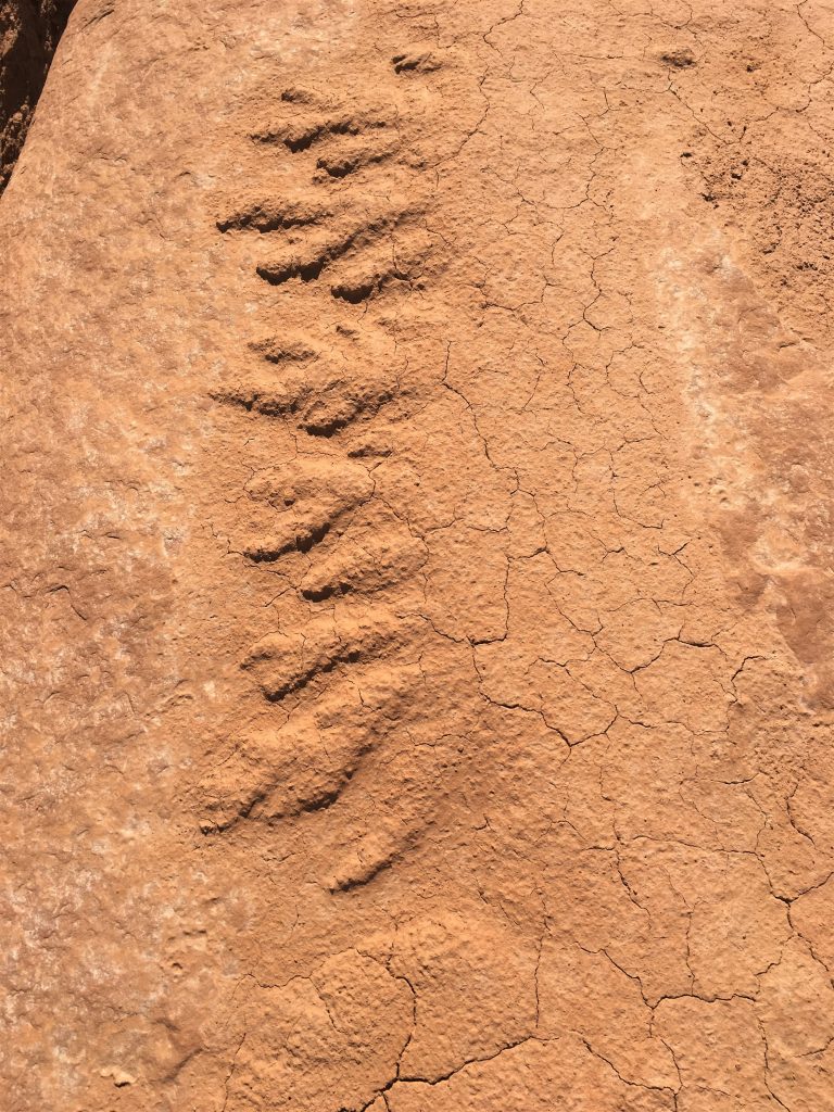
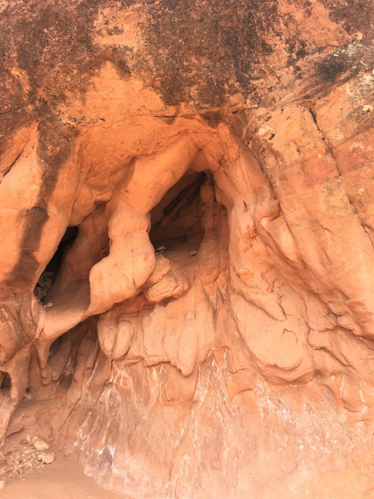
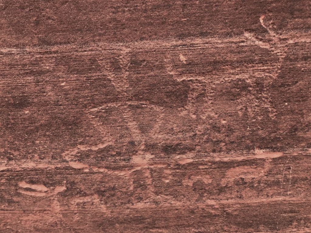
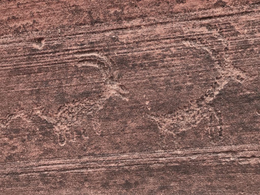
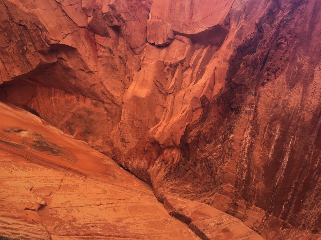
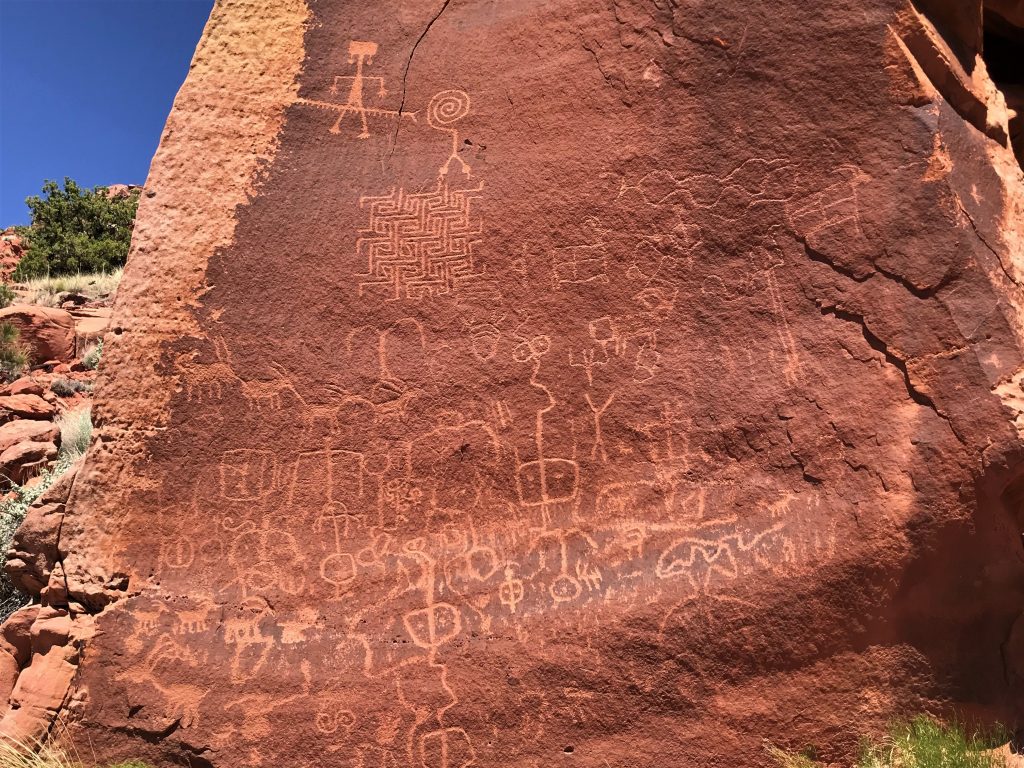
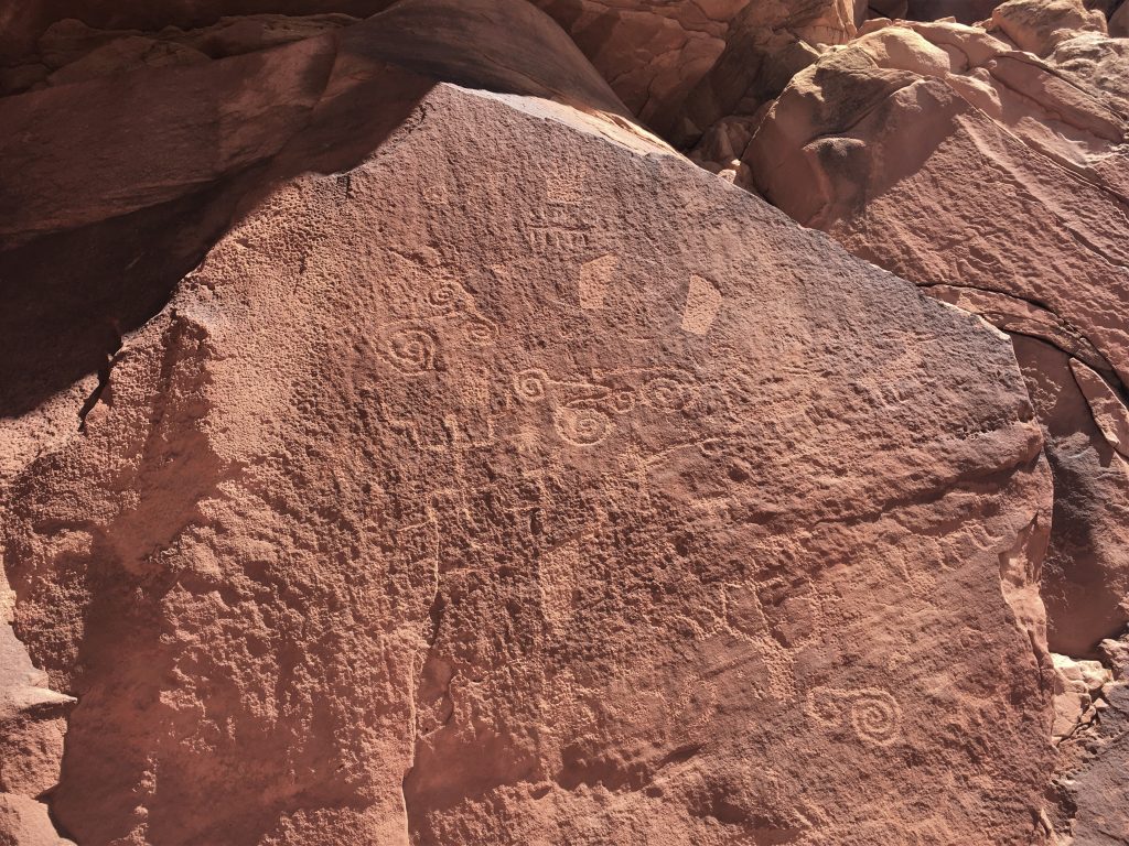
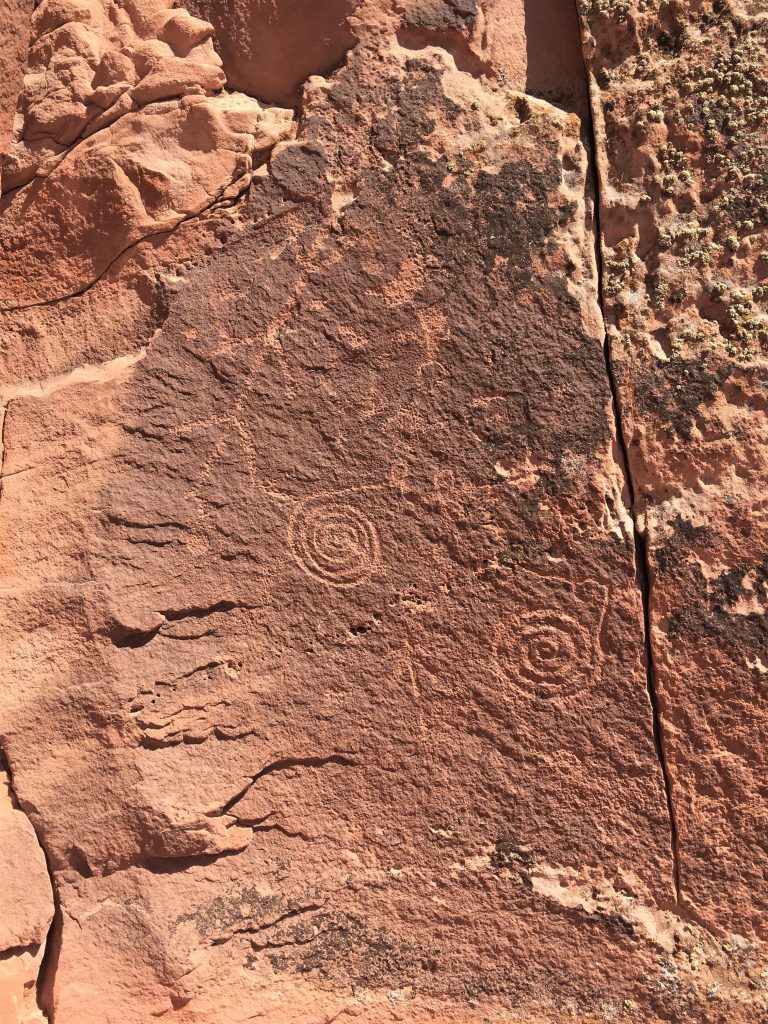
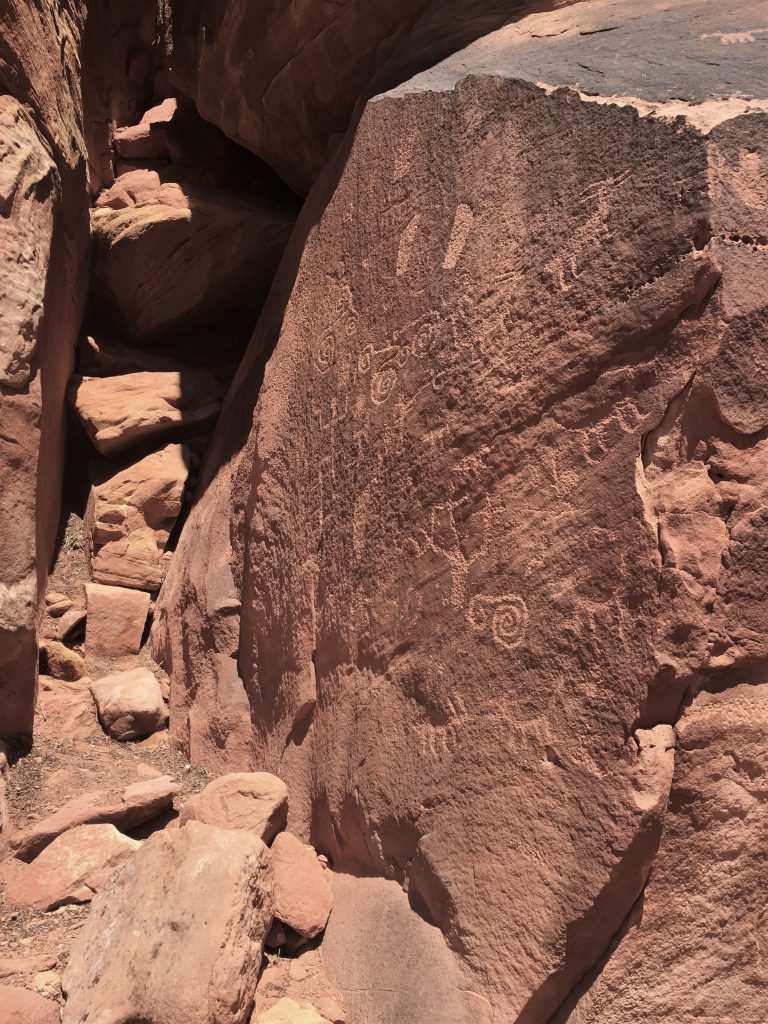
AND, we discovered that on the end of that wall, are petroglyphs!
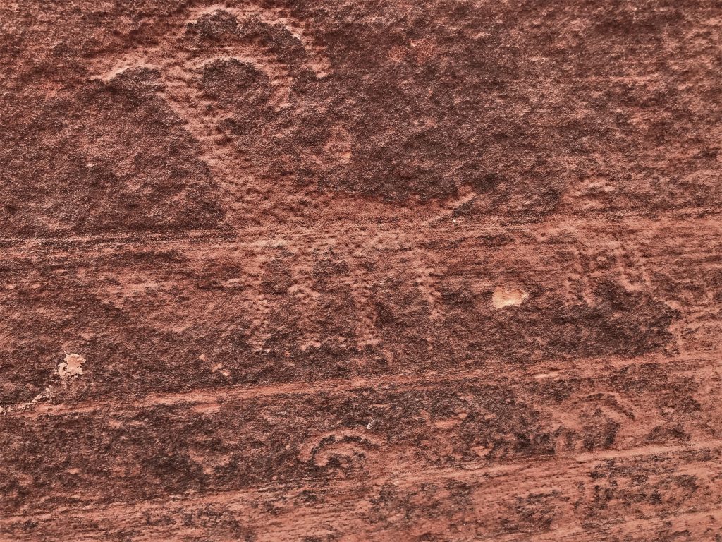
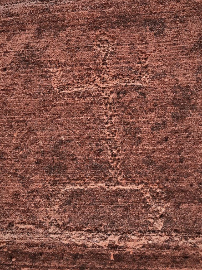
How have they survived all these years?
With the water that rushes through here occasionally?
Just for a short while.
Again, we went left, while everyone else went right. : )
This is the same place as the previous picture. : )
So interesting!
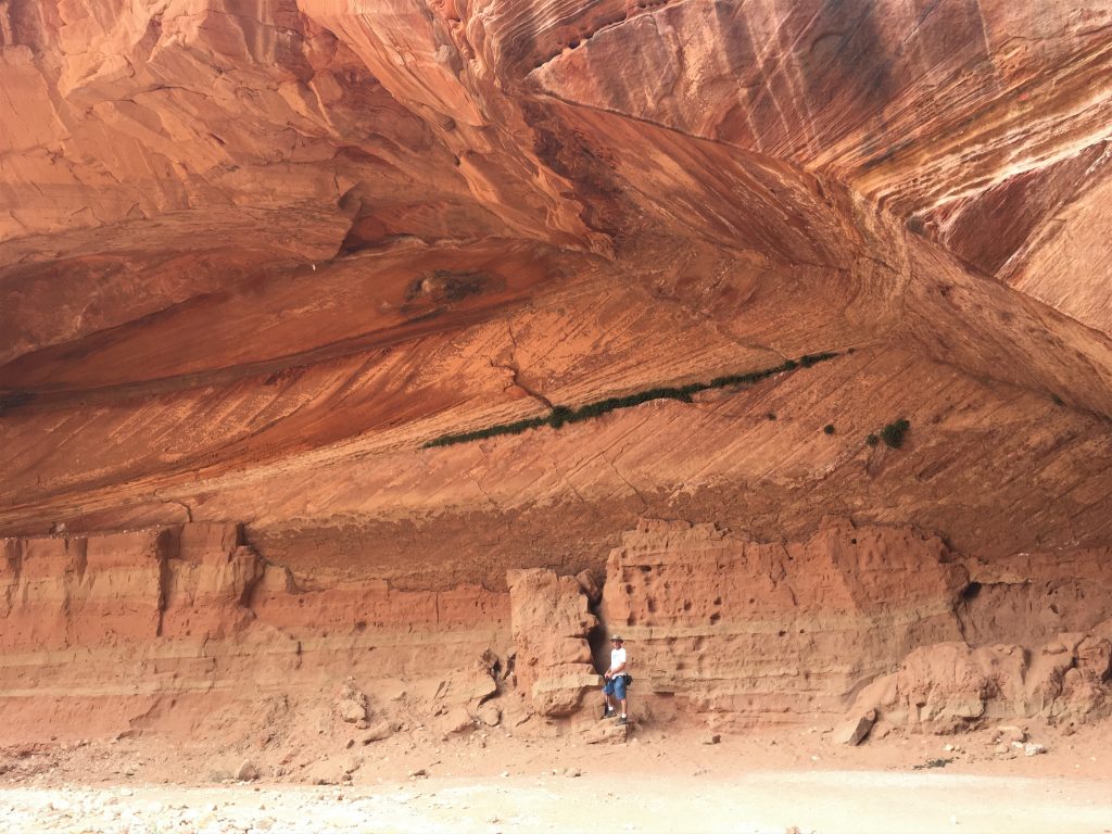
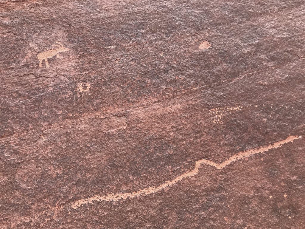
That’s a good representation of how high the water can get in here!
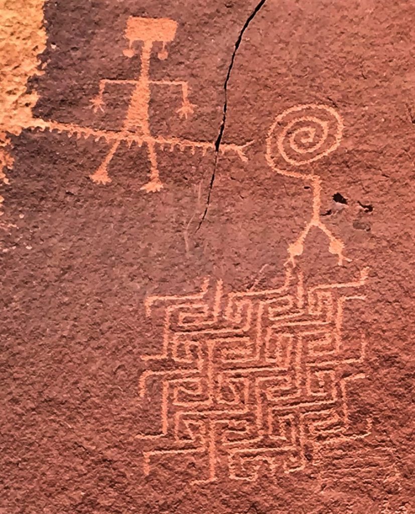
I see a warrior – head with a ponytail streaming out the back, carrying a shield in his left hand,
and really skinny, stubs for legs. : )
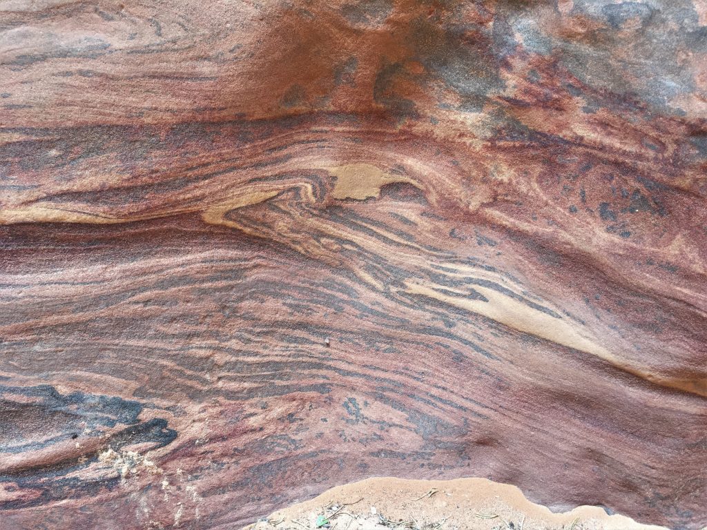
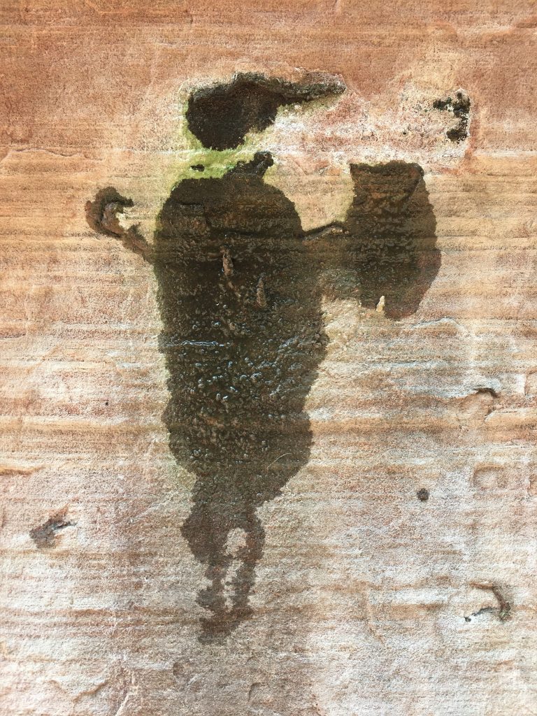
This is actually water seeping in through the sandstone. Amazing!
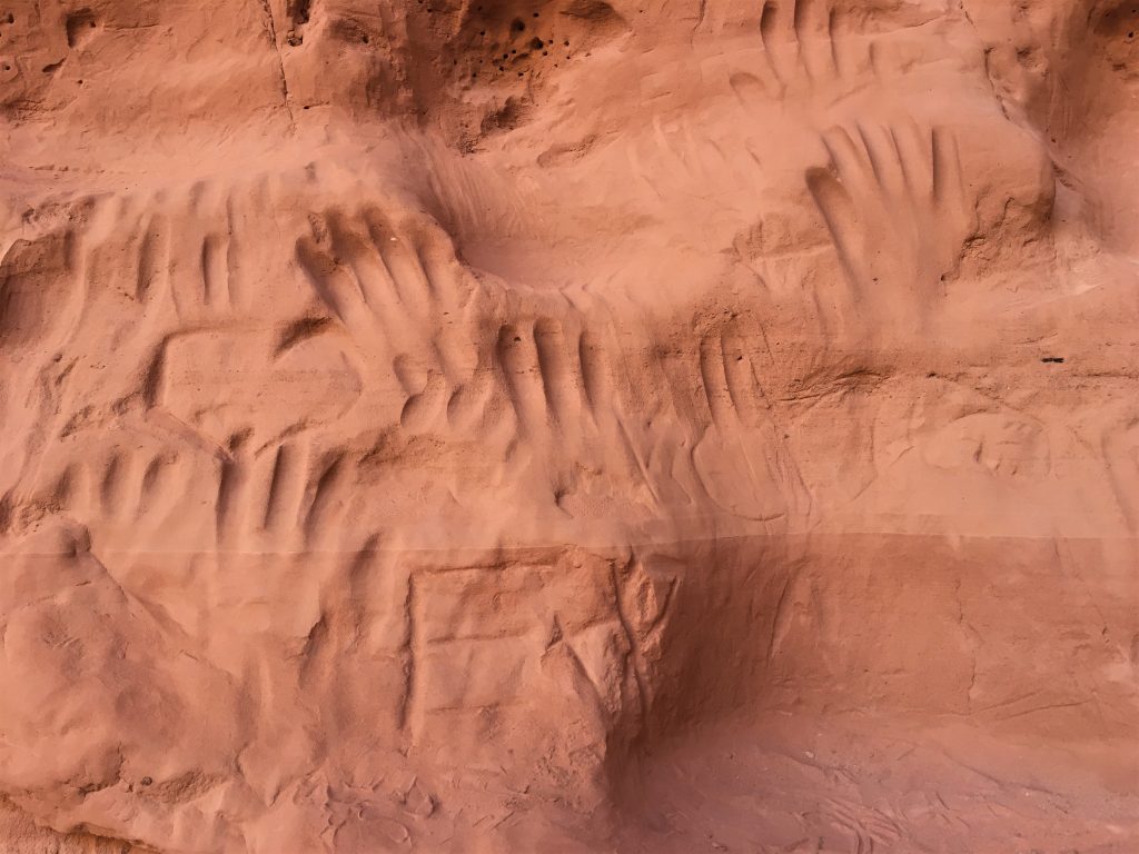
These were a pretty good ways up the wall, too.
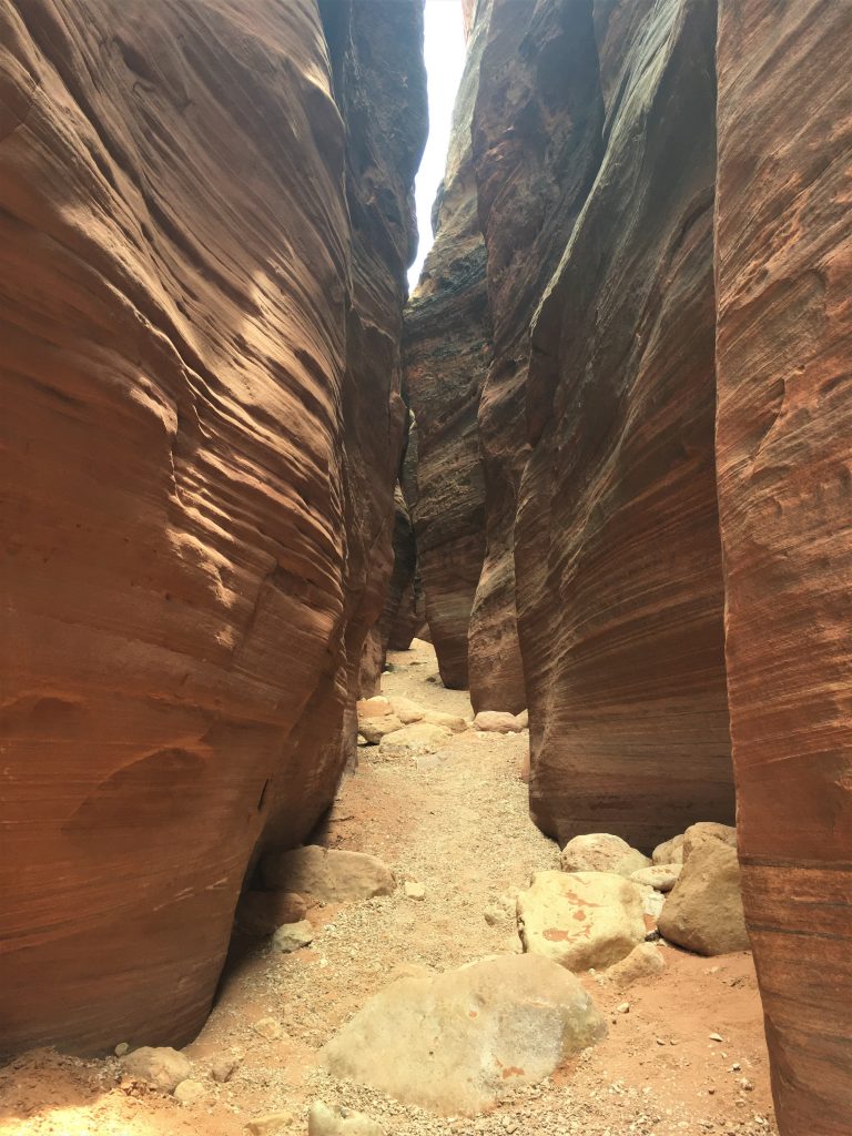
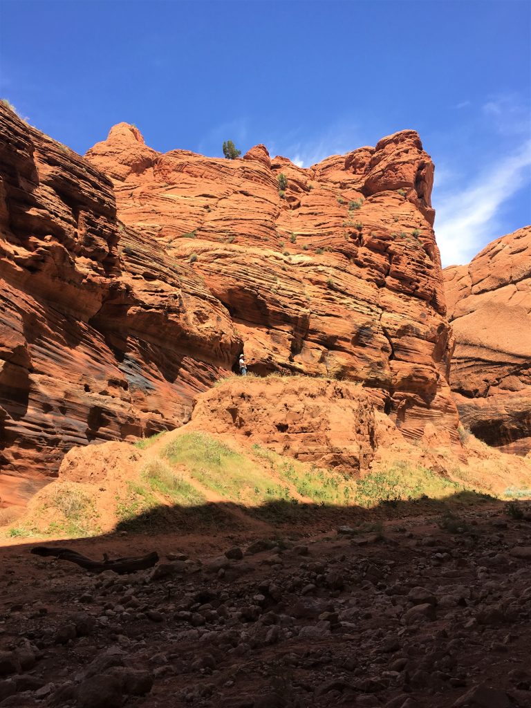
You’ll see soon, that the path was extremely rocky.
Silly, but fun. : )
Time to move on.
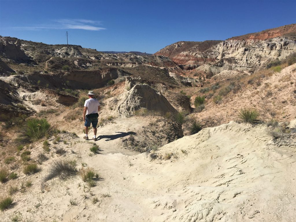
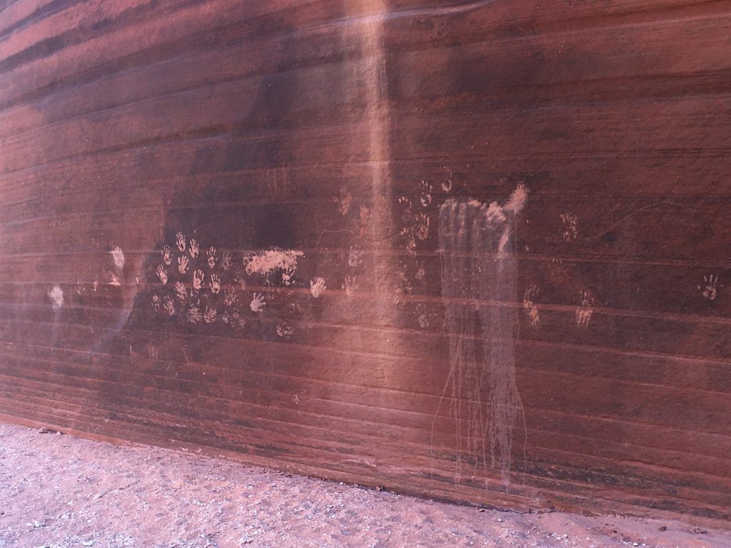
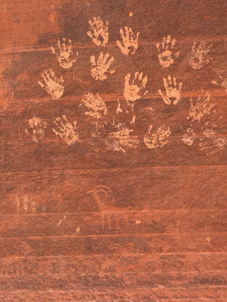
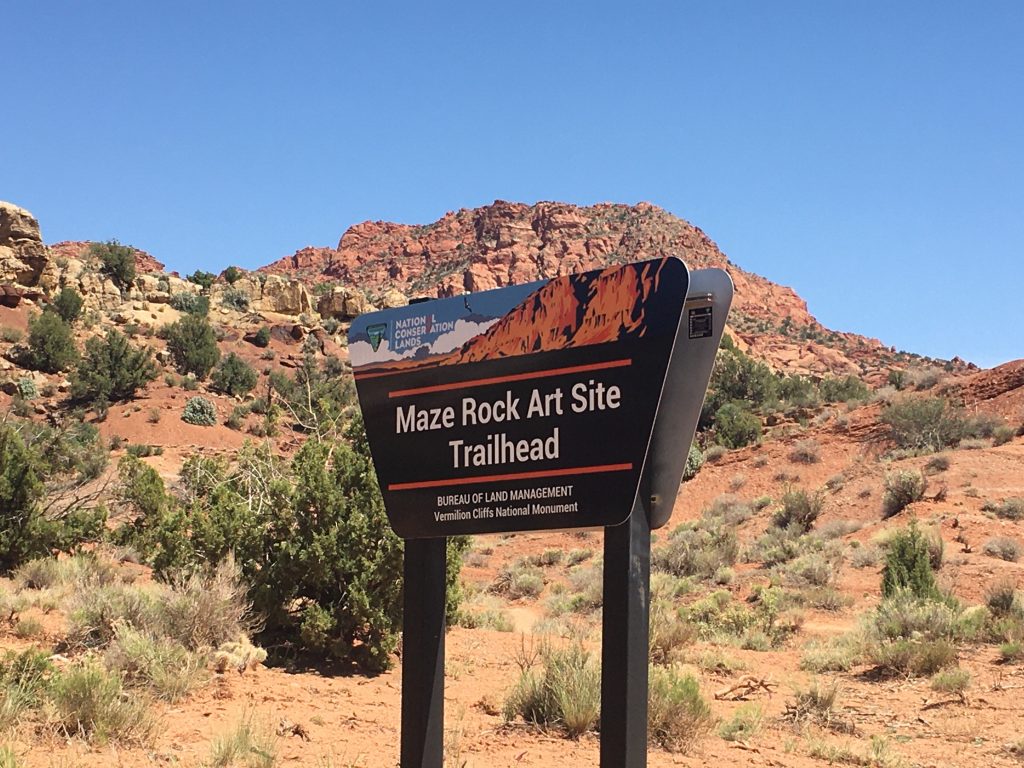
We’re now trying to find “The Maze”. We found many of the things we’re visiting, mentioned in the Lake Powell Visitor Guide. The Maze is no exception. It’s a unique petroglyph place that actually has a carved maze-like drawing.
Since we’re close by, we thought we’d check it out.
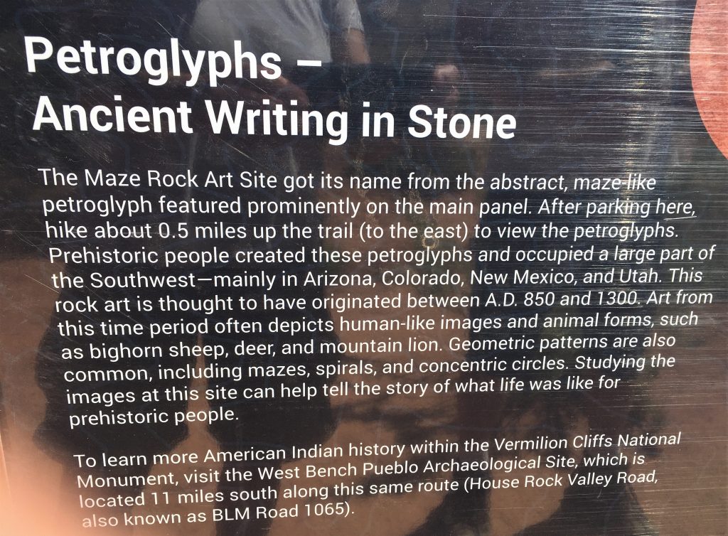
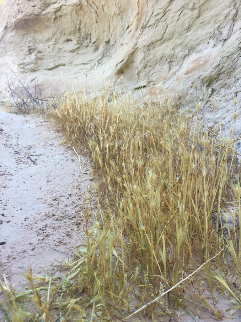
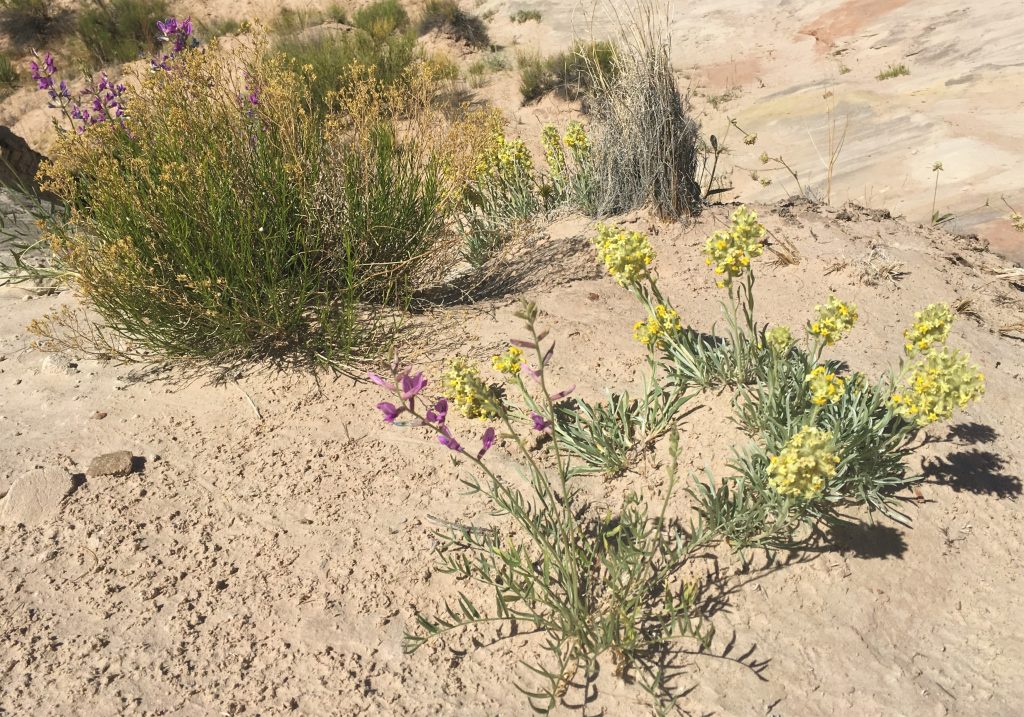
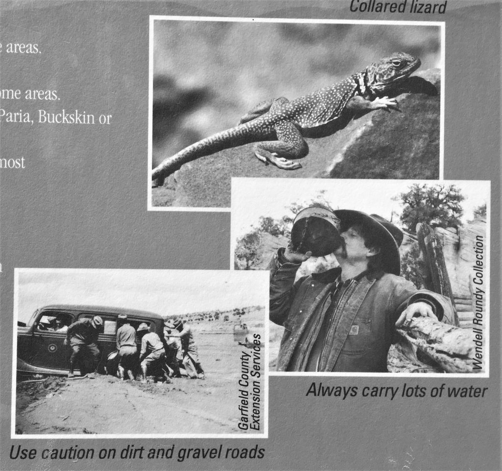
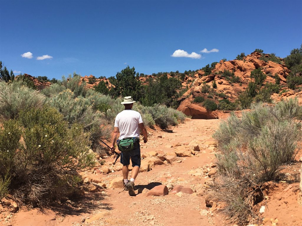
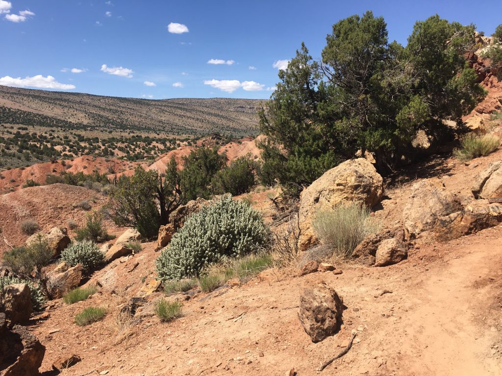
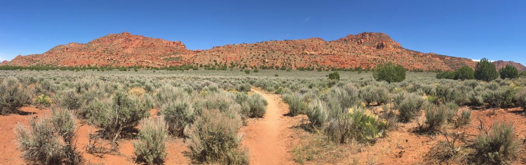
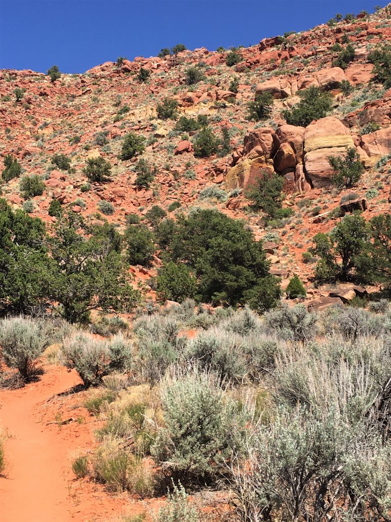
One other disadvantage to all this BLM stuff is that there is nothing to tell you how far you have to walk. We read in the magazine ‘a short easy walk’, but ‘short’ and ‘easy’ are relative terms. This short, easy walk ended up being about two miles and you had to climb a good-sized hill. But much of it was also through a flat plain covered with brush.
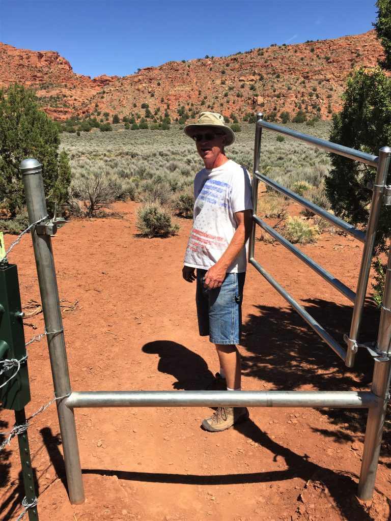
Maybe they added that because people were forgetting to close the gate?
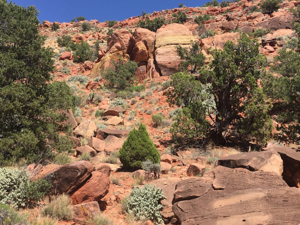
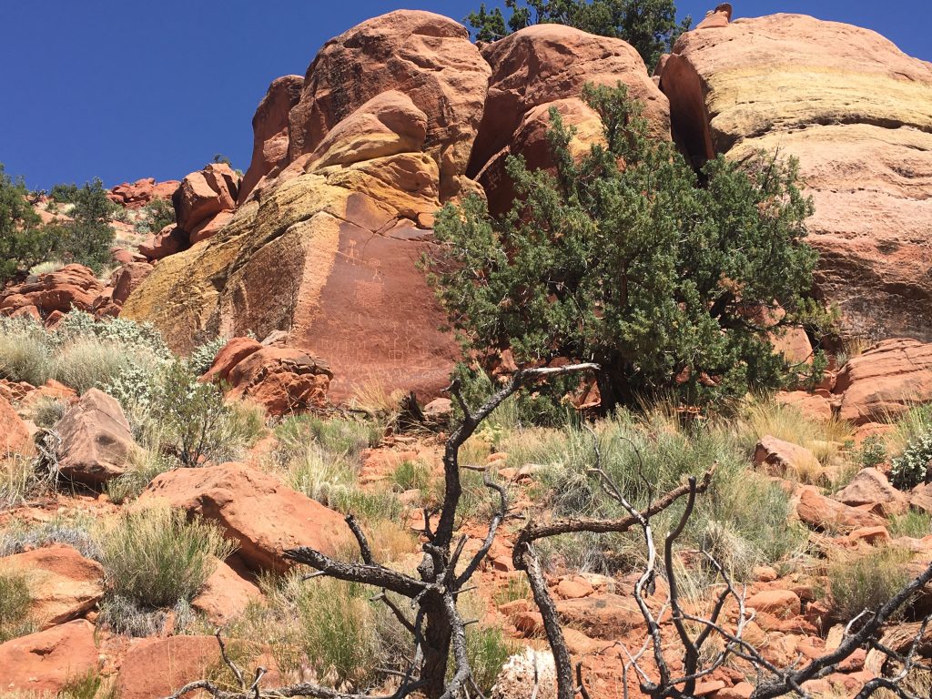
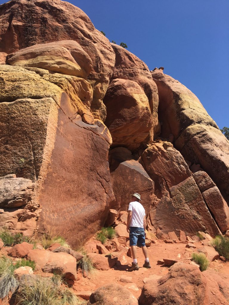
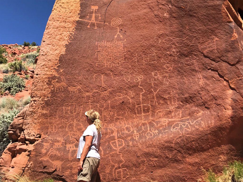
It makes you wonder how the first person discovered this place. And also, why no one has defaced it over the nearly 1,000 years it’s been here. Another very cool place to visit!
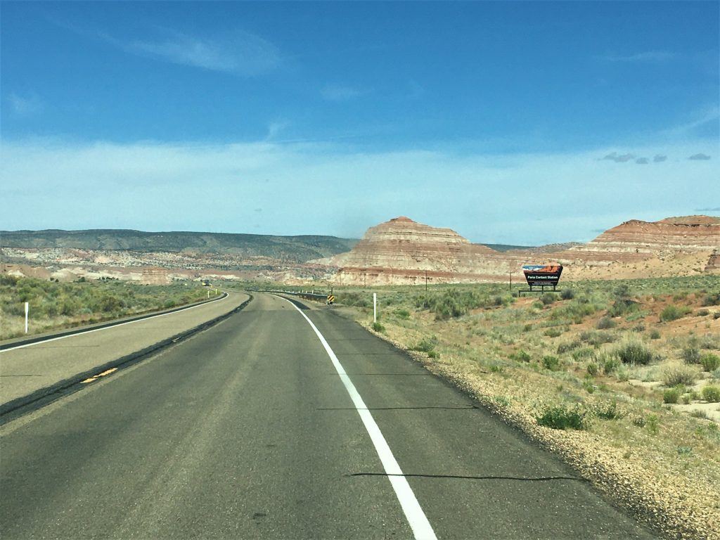
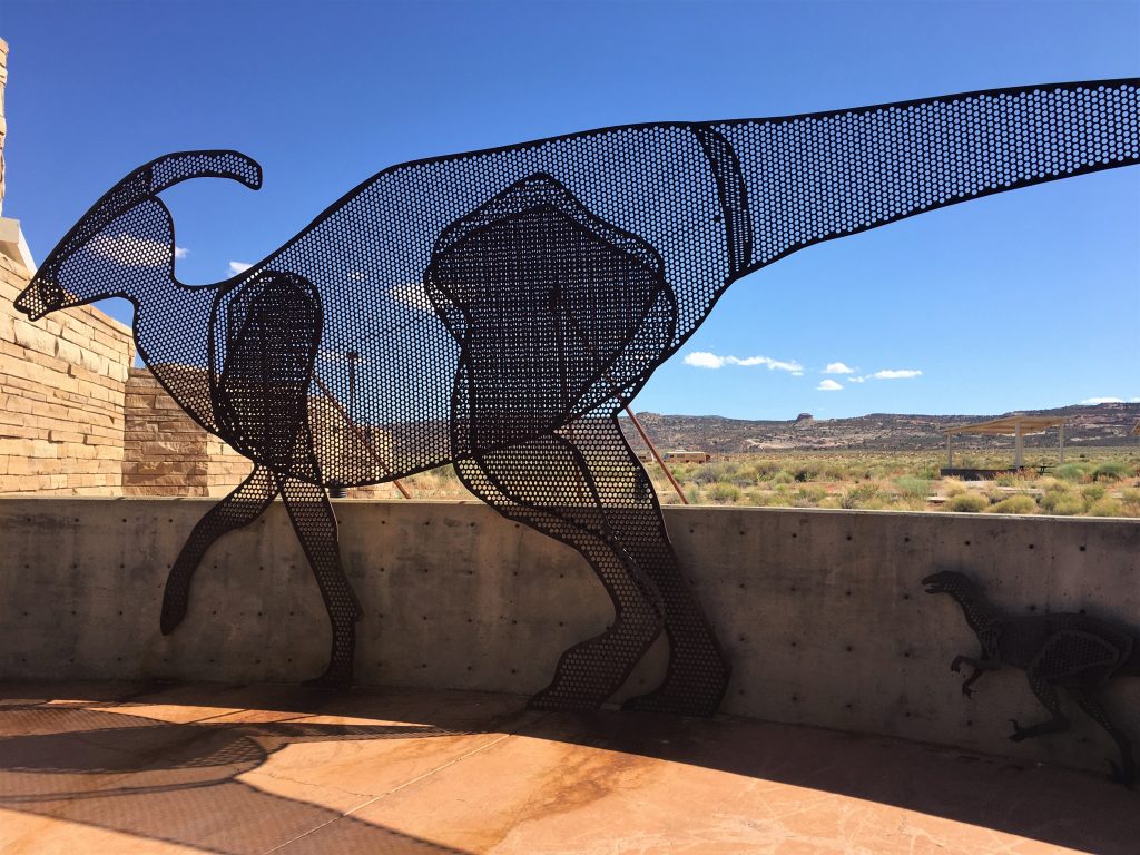
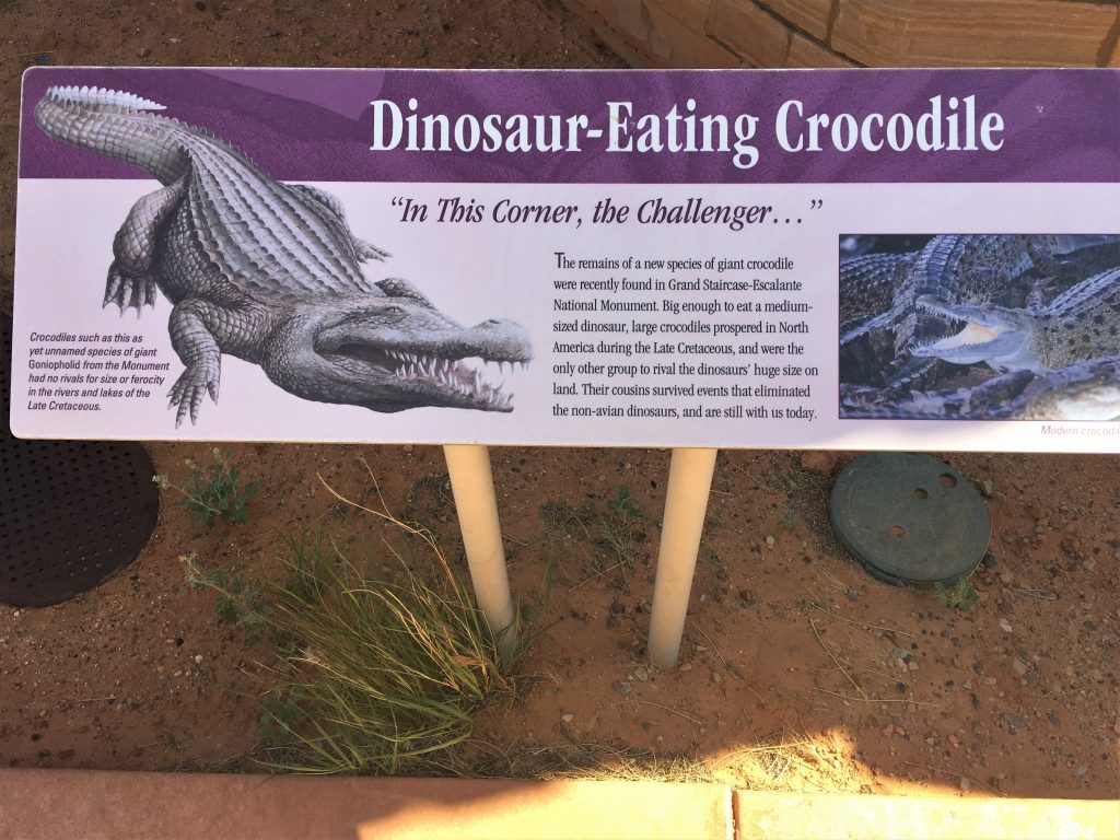
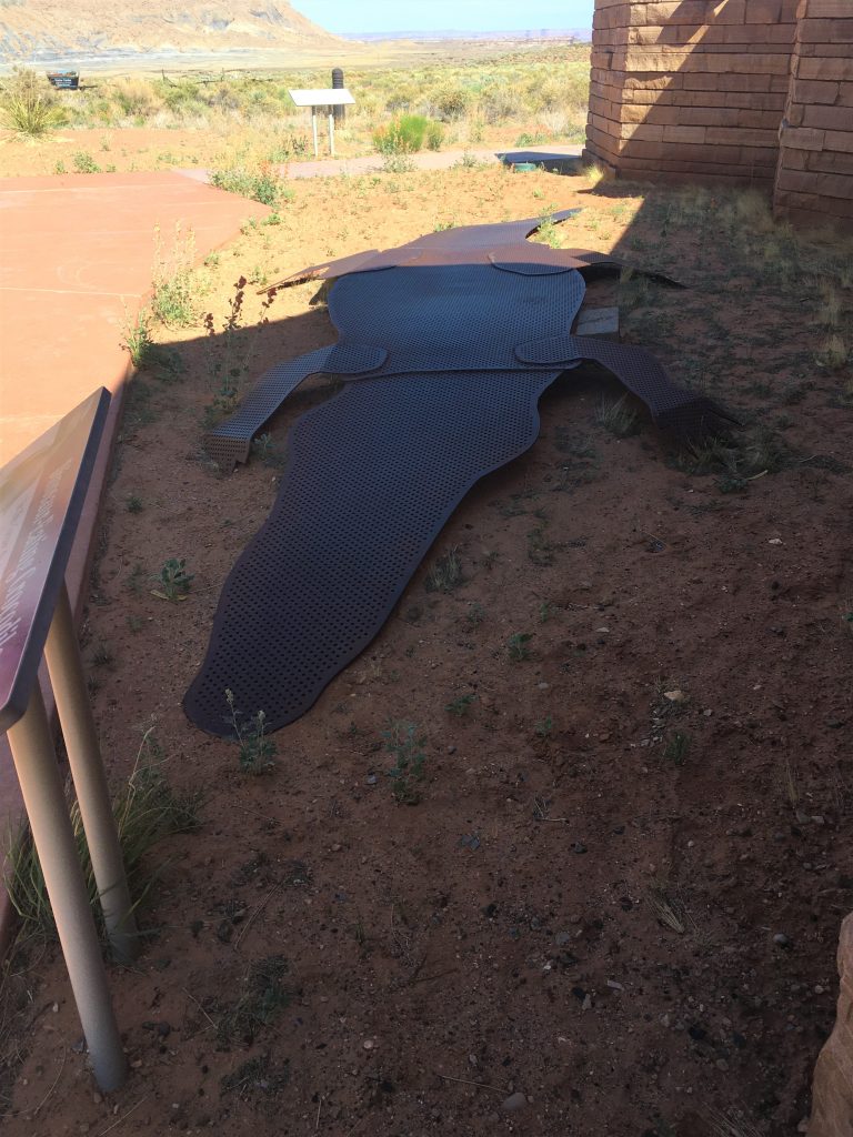
Our final stop for the day was to check out a Visitor Center we’d seen a sign for as we drove down Highway 89. It mentioned a dinosaur exhibit, and while we were certain it wouldn’t be open for business, we thought mayhap there’d be an outdoor exhibit we could check out. This is all we found.
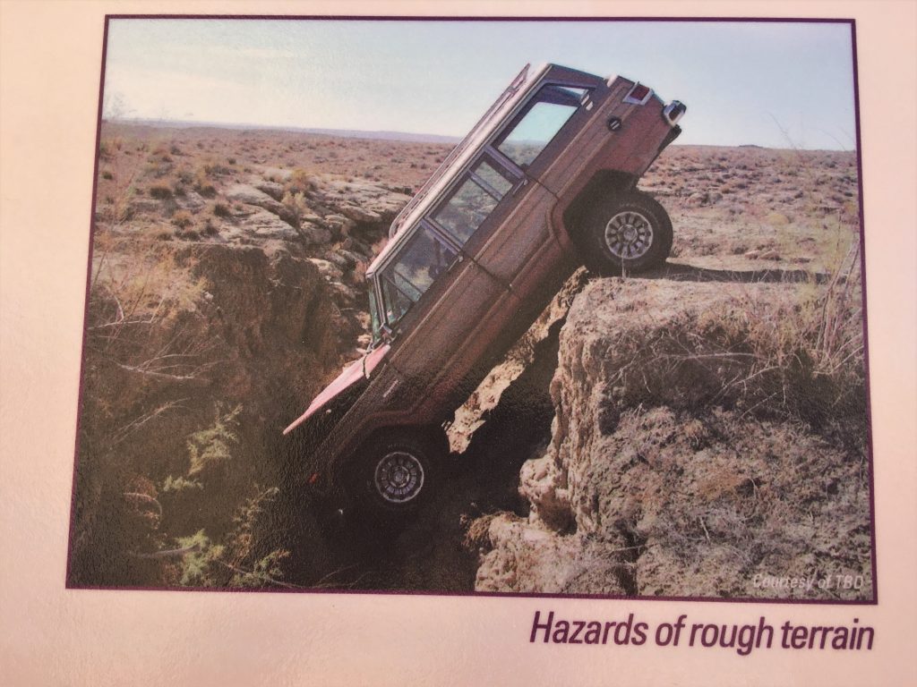
Although, we shouldn’t laugh at other’s misfortune. . . .
Yet another day, blessed by our Father!