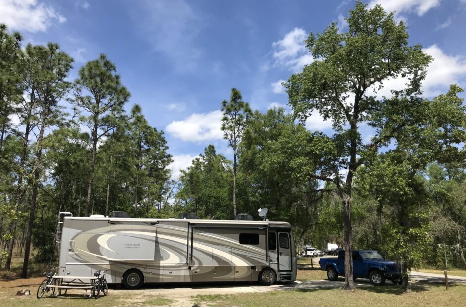
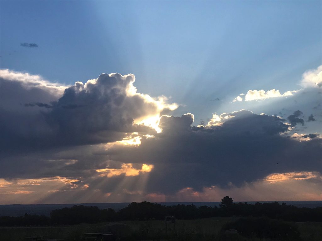
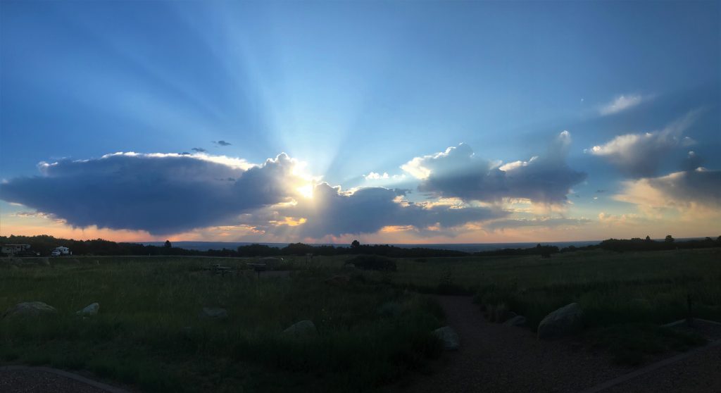
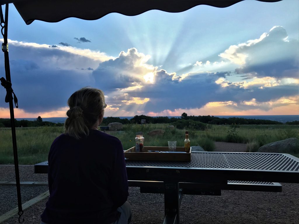
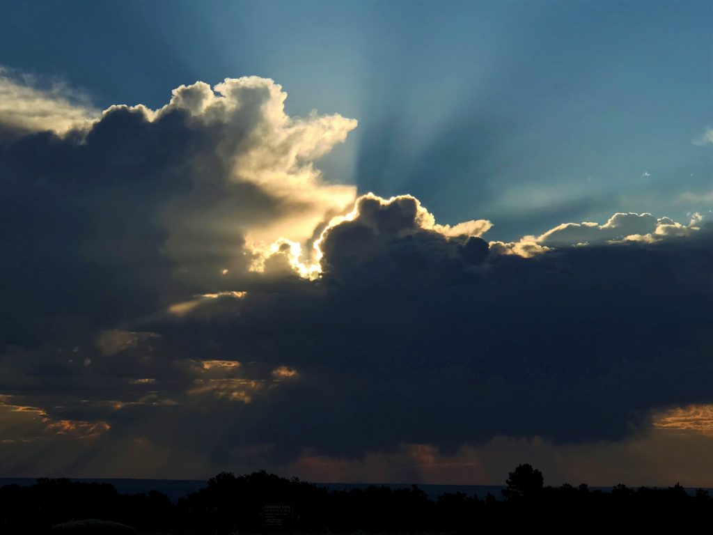
Cheyenne Mountain State Park, Colorado Springs, Colorado
He who gives to the poor will lack nothing, but he who closes his eyes to them receives many curses. ~ Proverbs 28:27
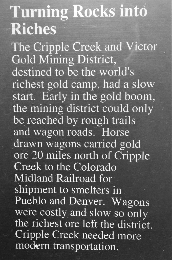
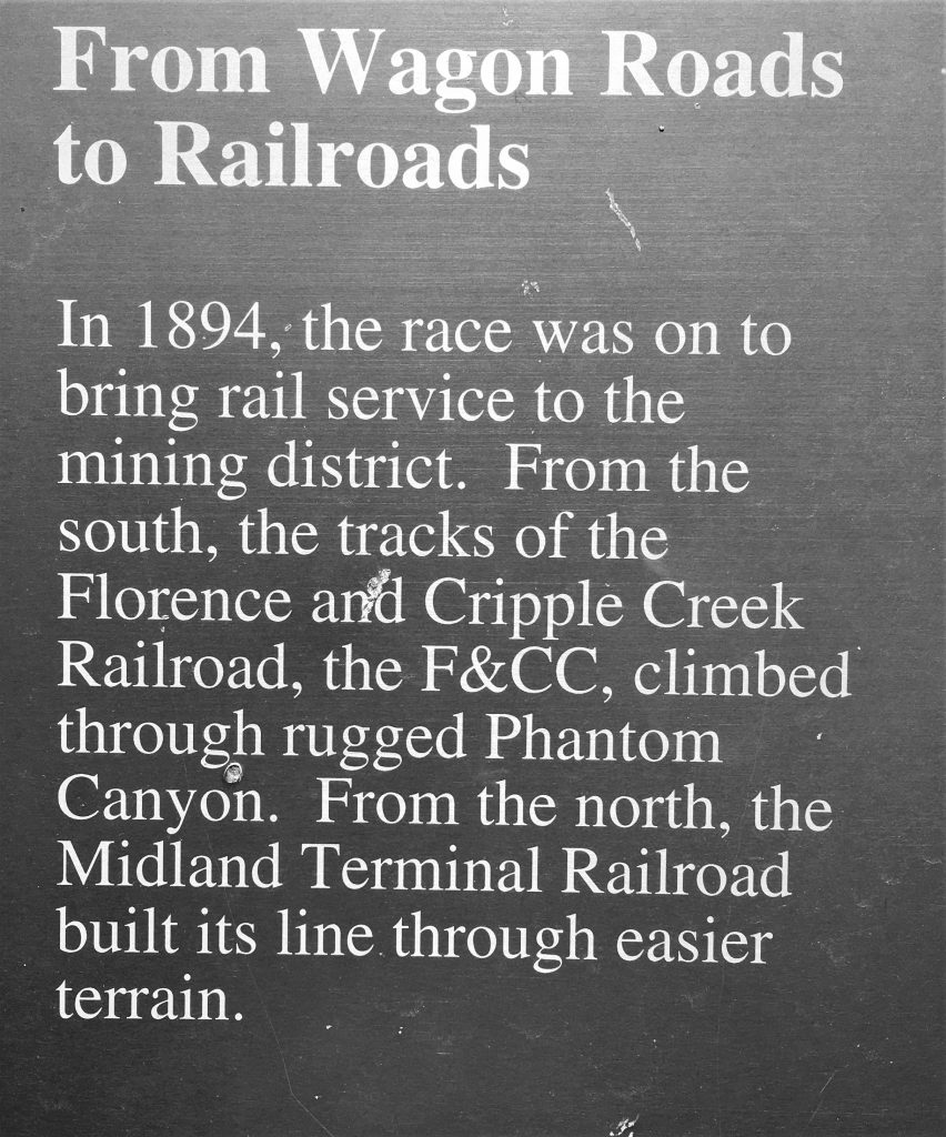
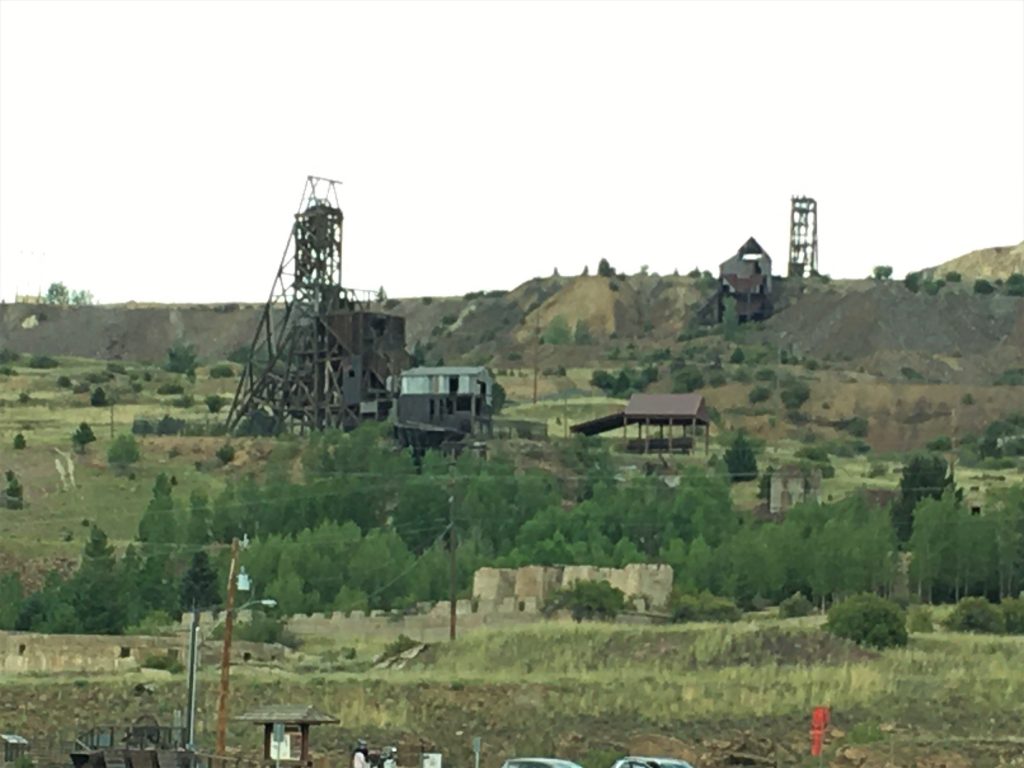
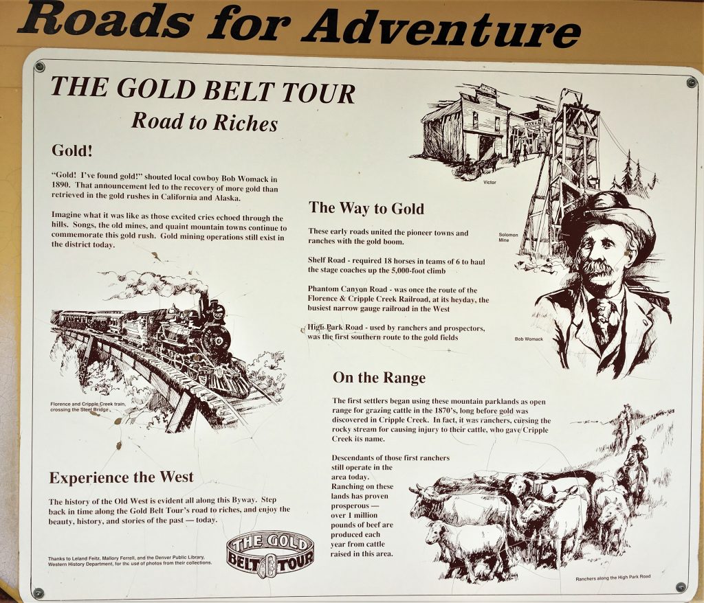
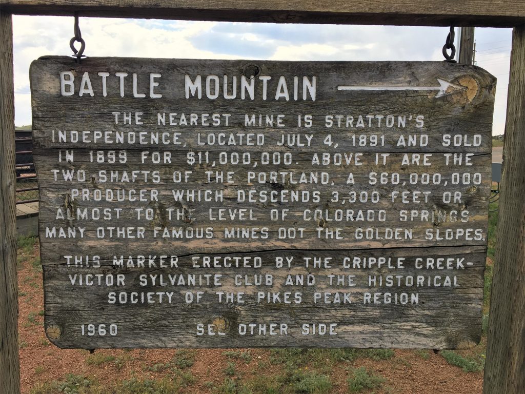
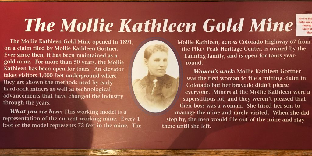
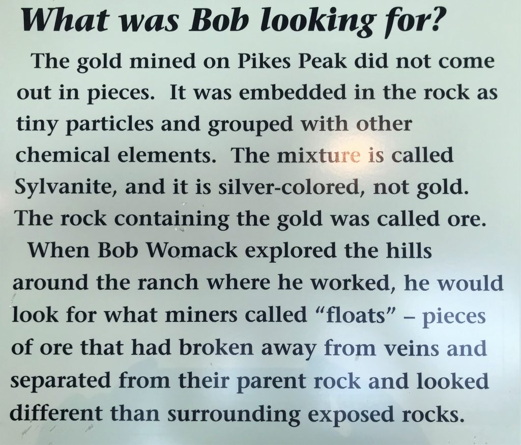
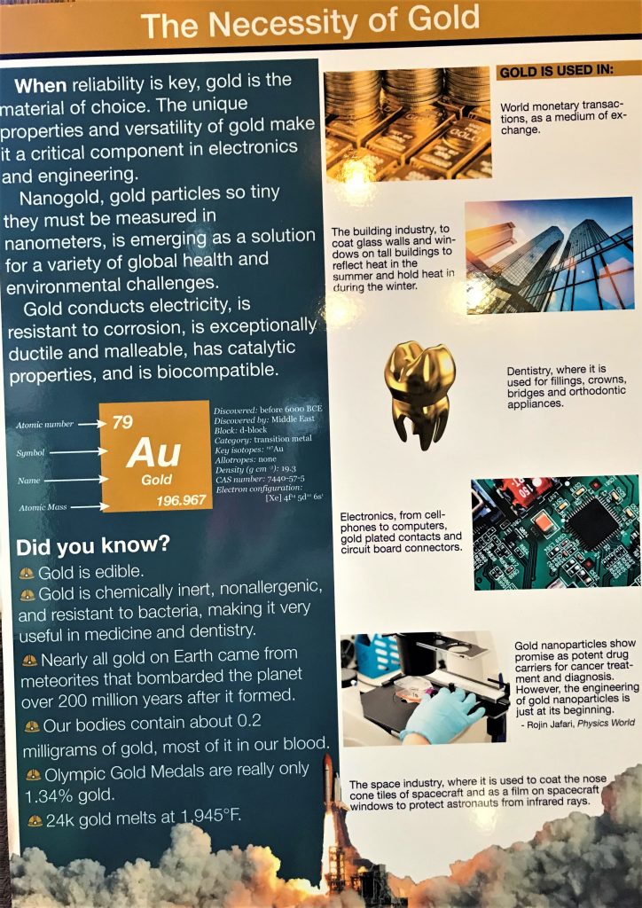
There’s gold in them thar hills!
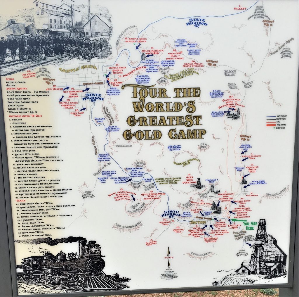
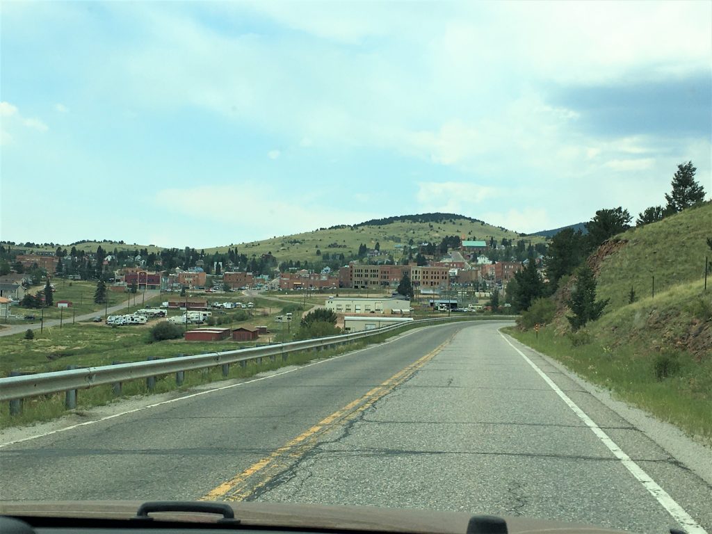
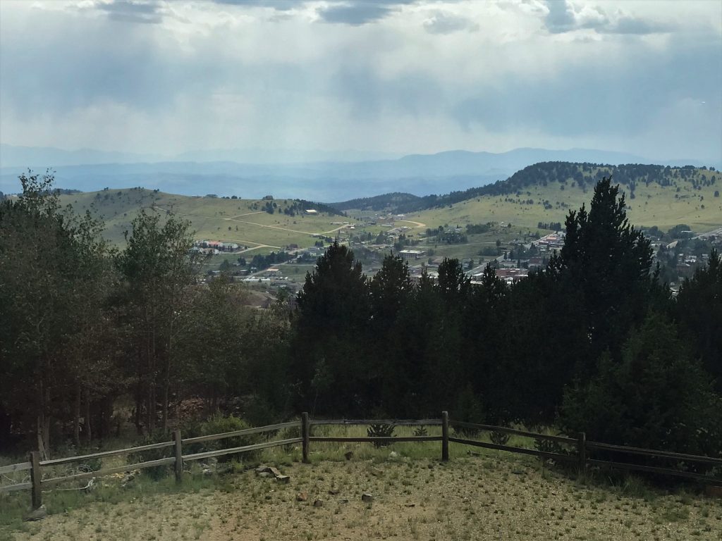
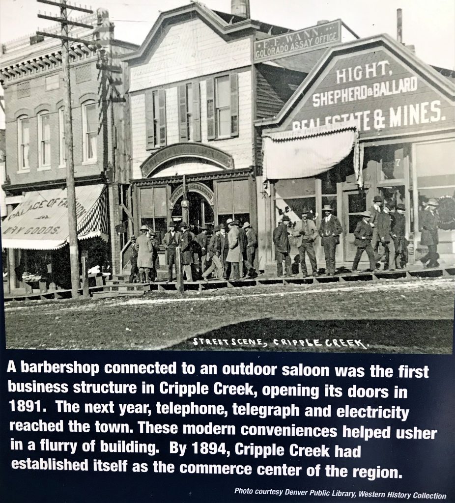
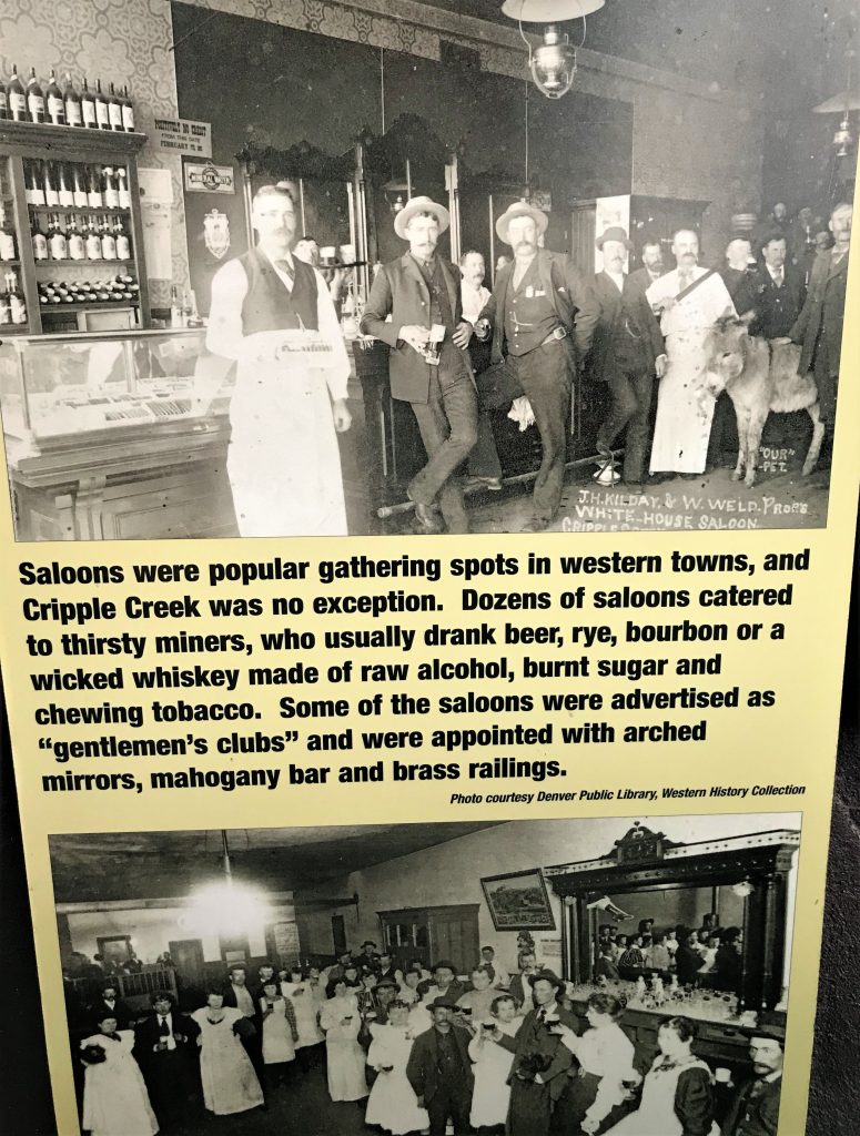
That’s what we found out on today’s adventure! We took a scenic drive on this cloudy, overcast day to the towns of Victor and Cripple Creek, where gold was discovered in 1890 by ranch-hand-turned-prospector, Bob Womack. Once his discovery was made, it wasn’t long before the towns were booming with people looking to make their fortunes. You’ll see more information on the pictures today.
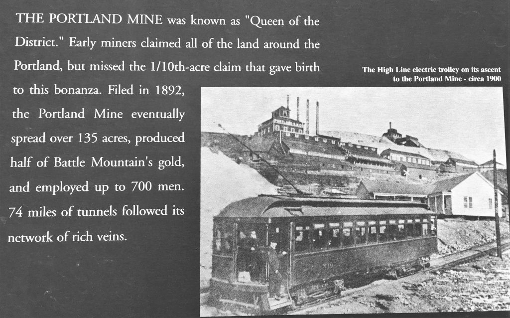
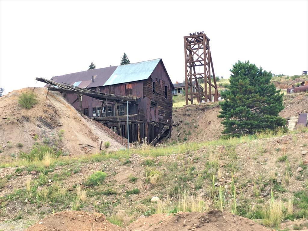
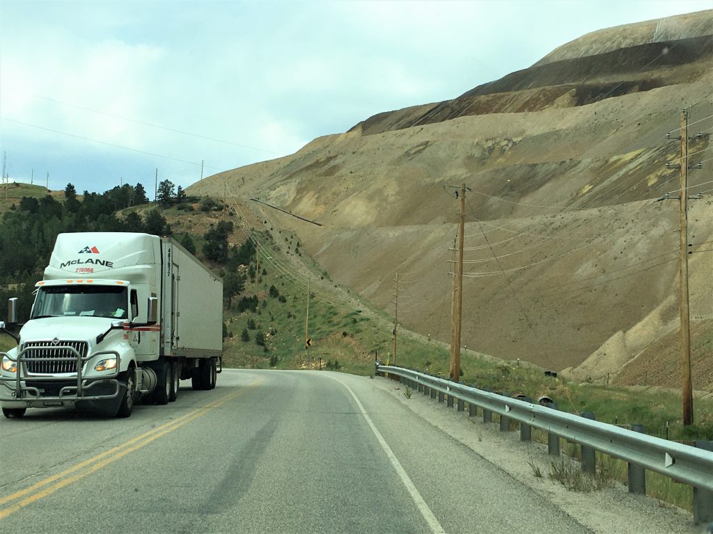
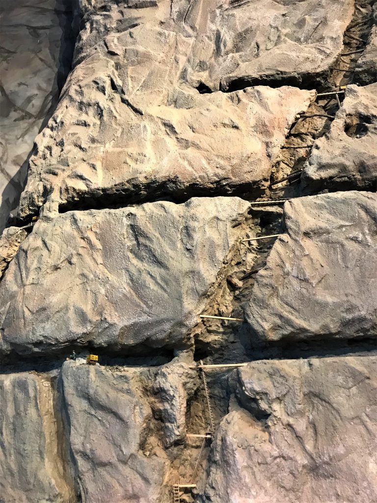
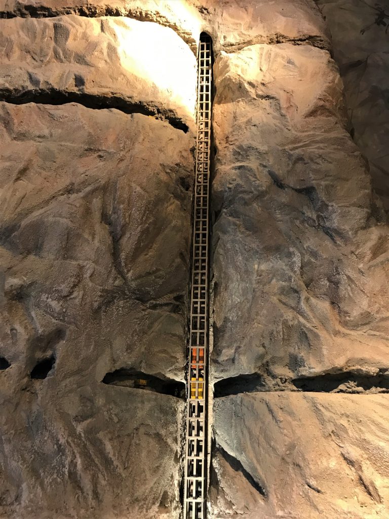
And we were surprised to learn that gold is still mined here. The large mine you’ll see pictures of opened in 1892, and after passing through several hands, was acquired by the Newmont Corporation in 2015.
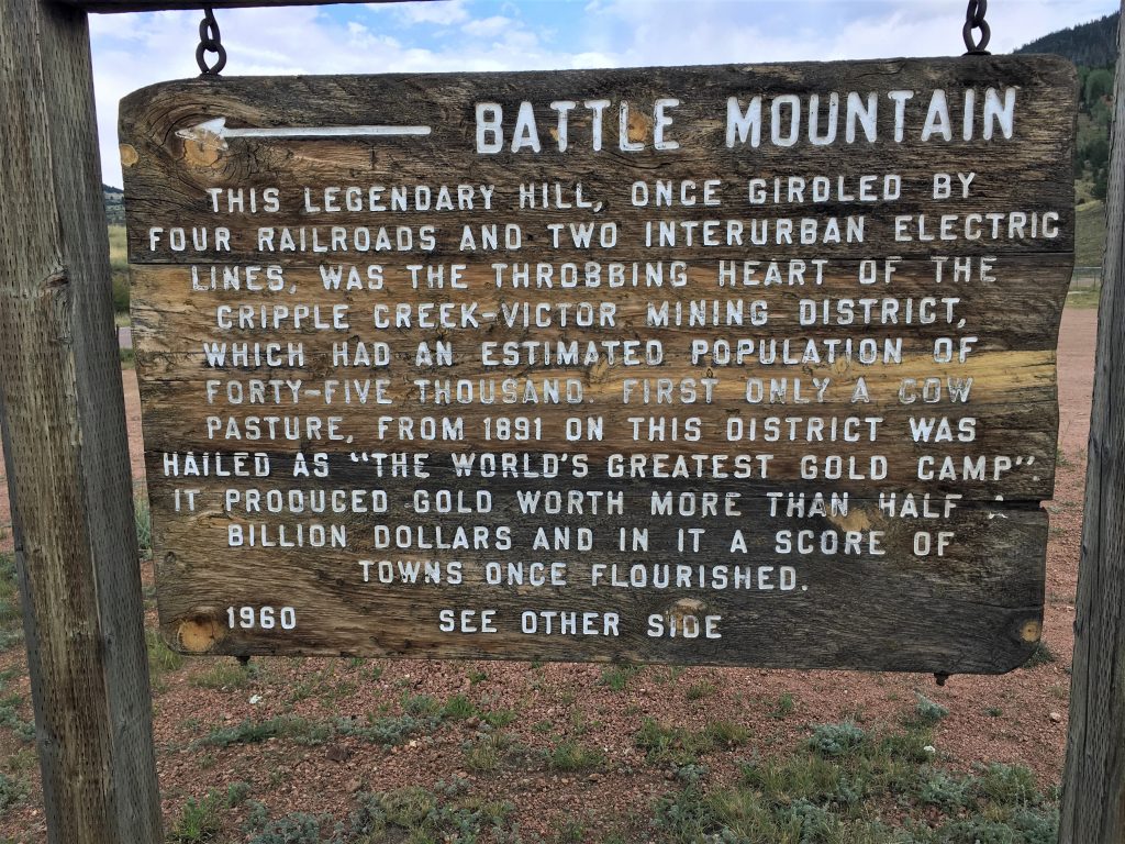
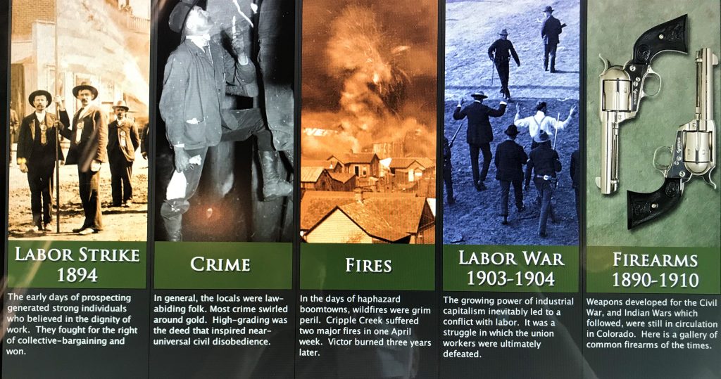
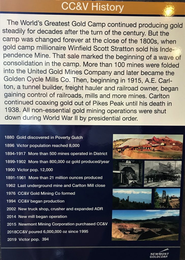
Cripple Creek was the site of the last and greatest mining boom in Colorado, attracting tens of thousands of people to the western flank of Pikes Peak in the 1890s. After it was destroyed by fire in 1896, the town and surrounding mining district reached peak production and population in the early twentieth century before experiencing a long decline. After World War II, the town turned to tourism as its primary economic engine, but since the 1970s the giant Cripple Creek & Victor Gold Mine has also provided steady production and employment. In 1990 Colorado voters approved an amendment that allowed Cripple Creek to build casinos, which have generated millions of dollars for the local economy and historic preservation across the state but have also transformed the town they were supposed to help preserve. ~ Coloradoencyclopedia.com
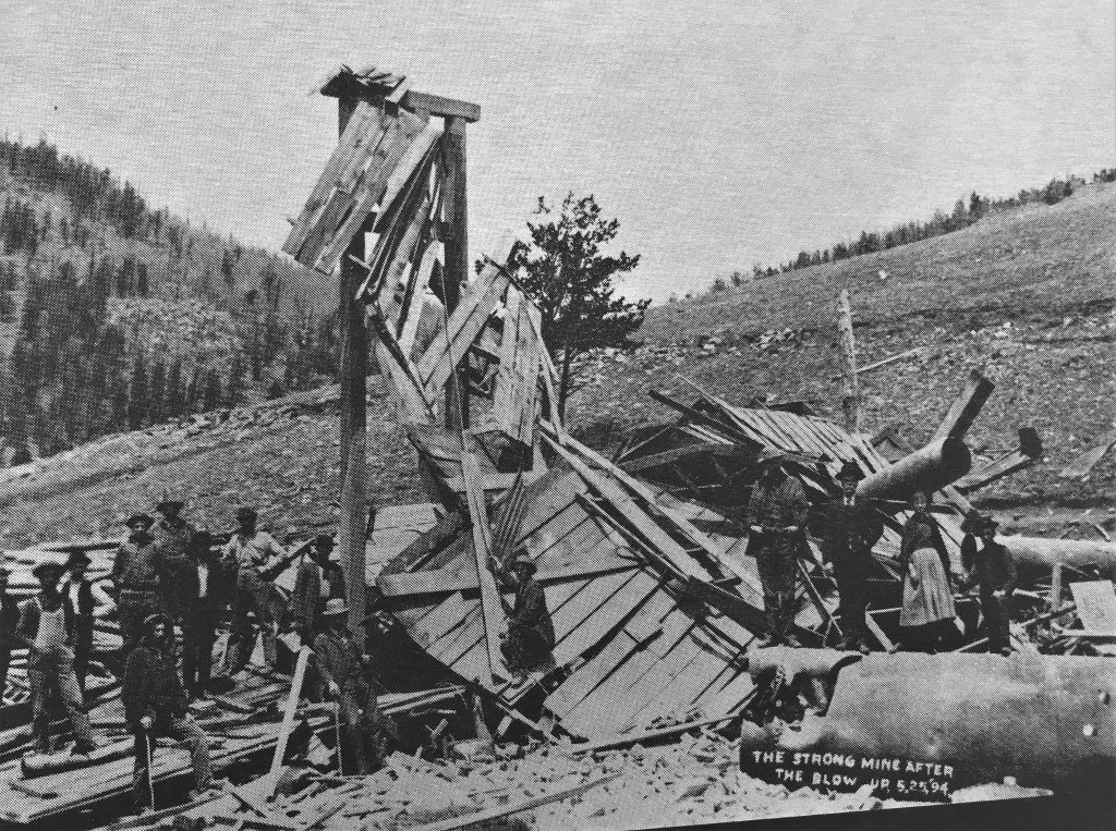
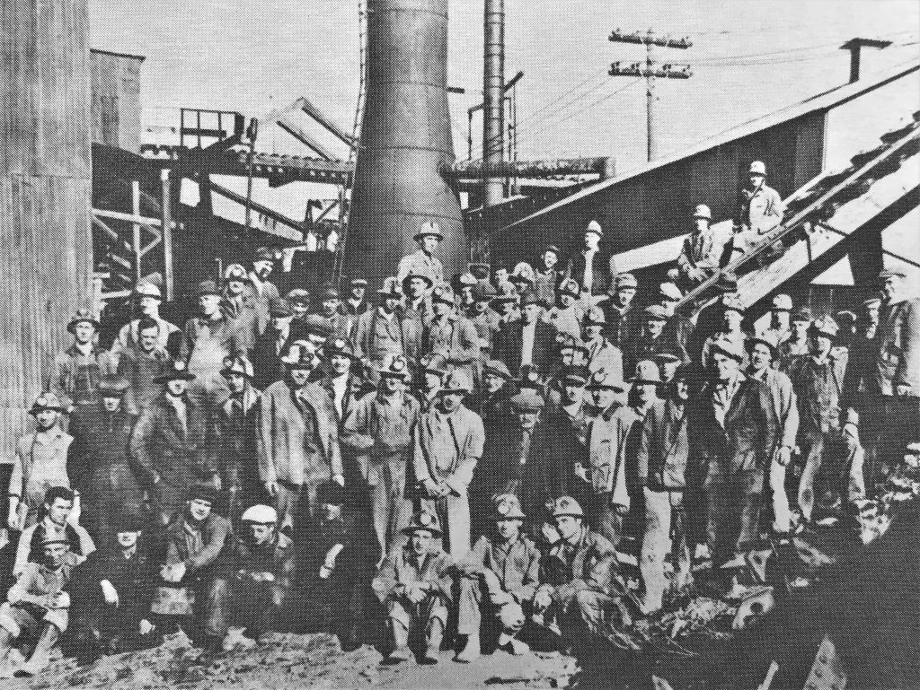
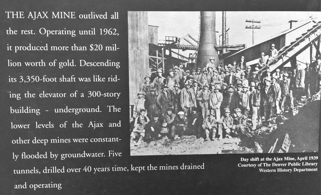
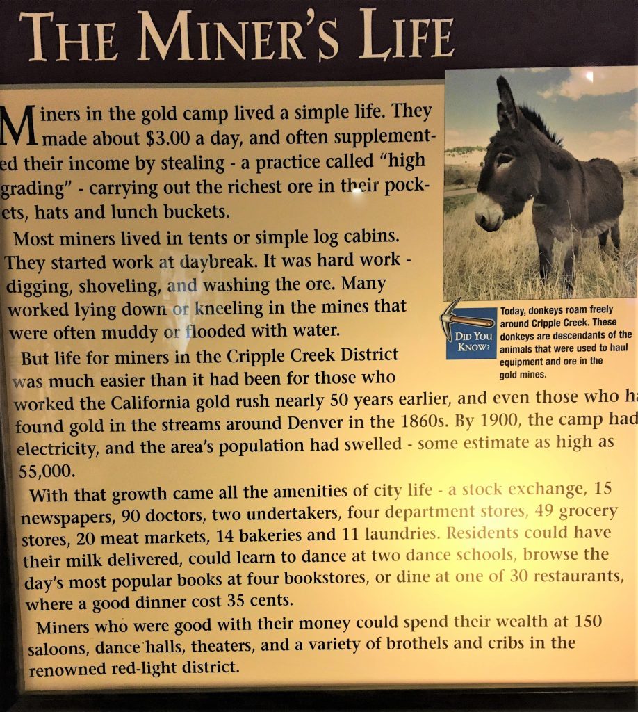
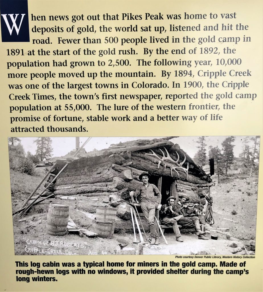
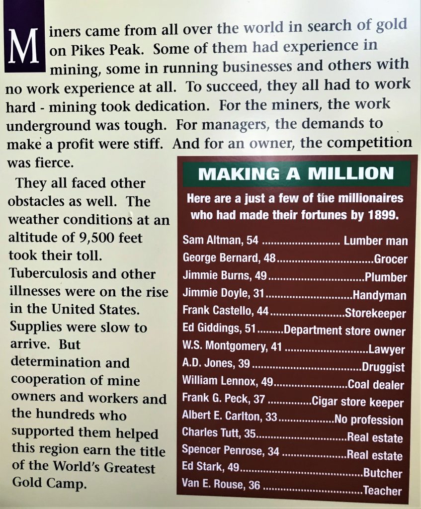
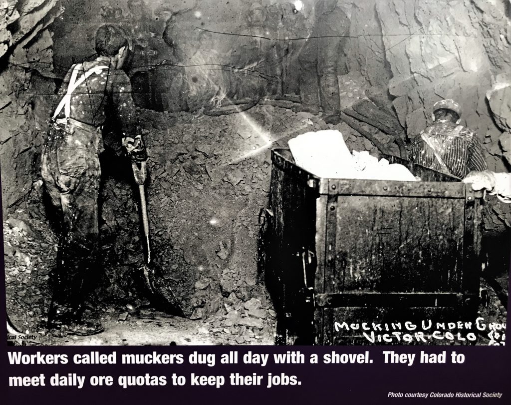
At one time, there were 500 active mines in the area! And as sort of stated above, the mining continued, right up to WWII when the federal government shut down all gold mining operations. I was unable to discover why, other than they were more interested in copper and heavy metals. But what that has to do with gold mining, is beyond me.
At any rate, once that happened, homes were abandoned and the population dropped significantly – from an estimated 50,000 to less than 2,000. Mining in earnest began again in the 1970s, and by the 1990s the district yielded more than 23 million ounces of gold – that’s $8,901,000,000 in 1995, and $44,505,000,000 in today’s market!
But before we get into what we saw and learned in these towns, let’s take a walk!
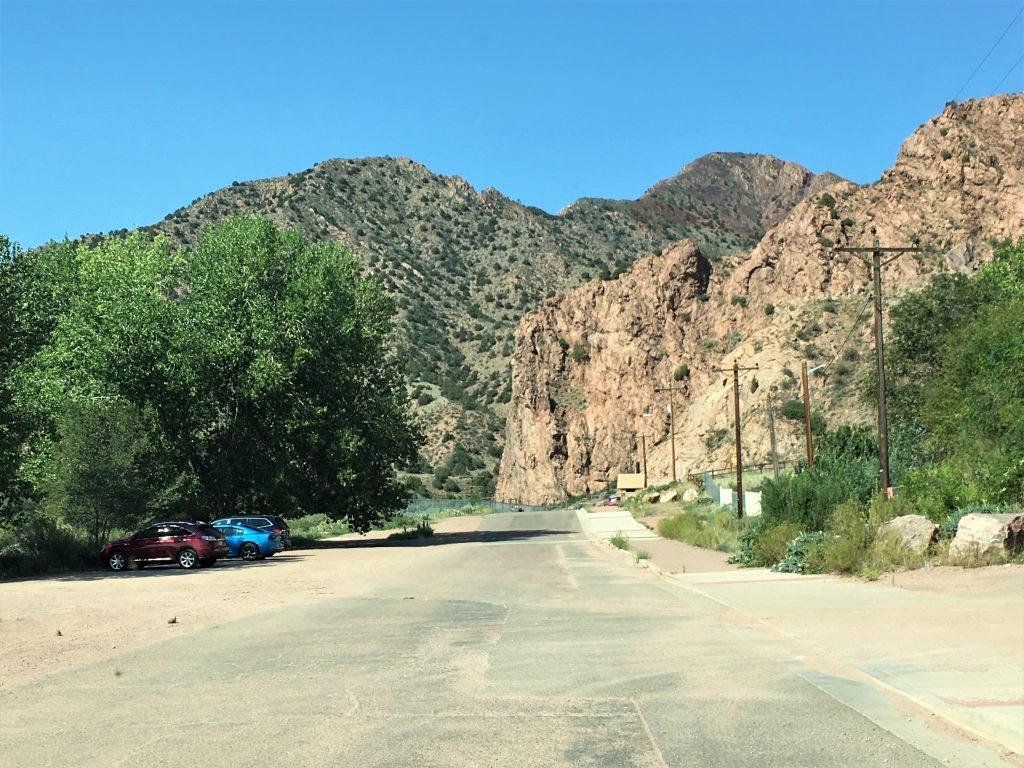
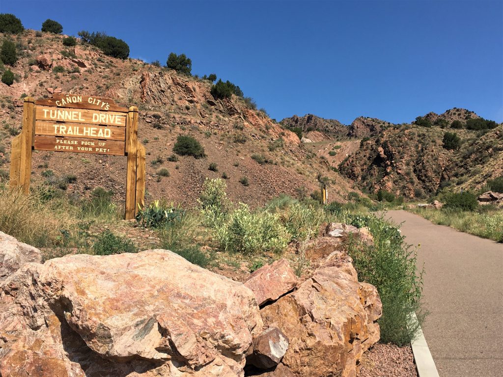
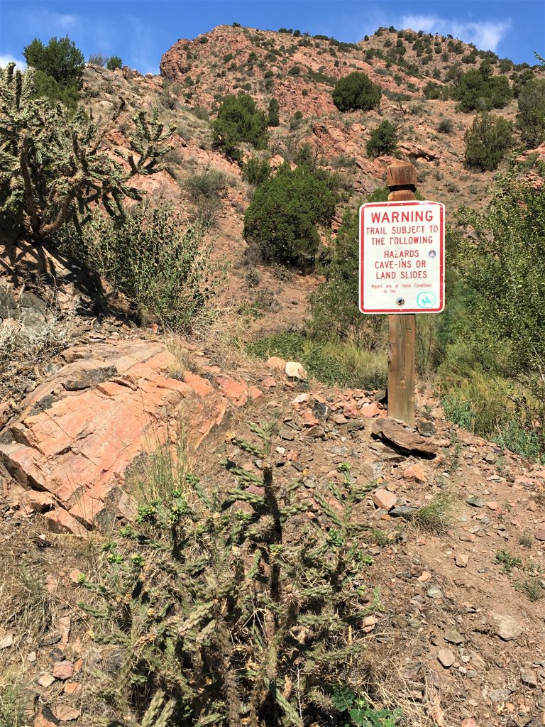
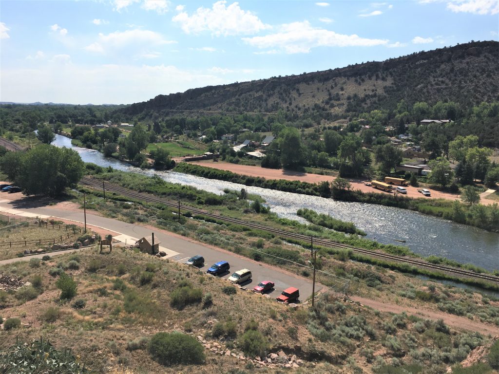
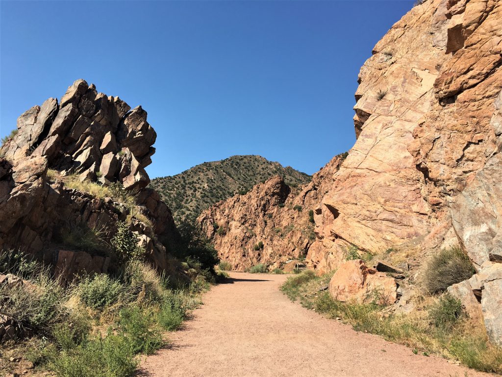
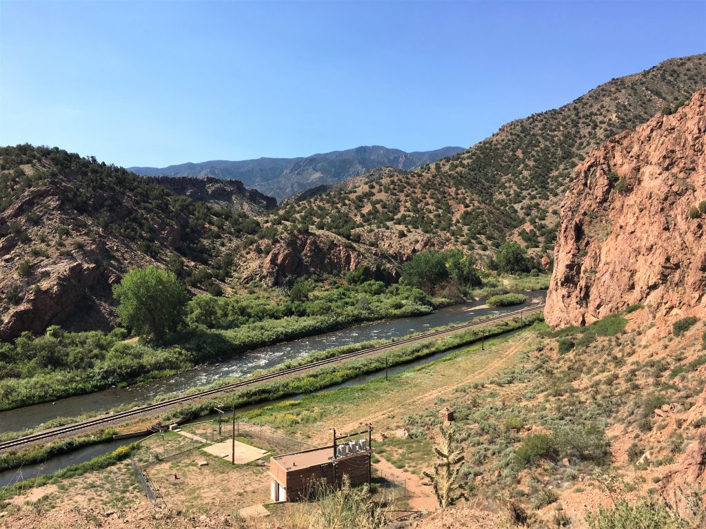
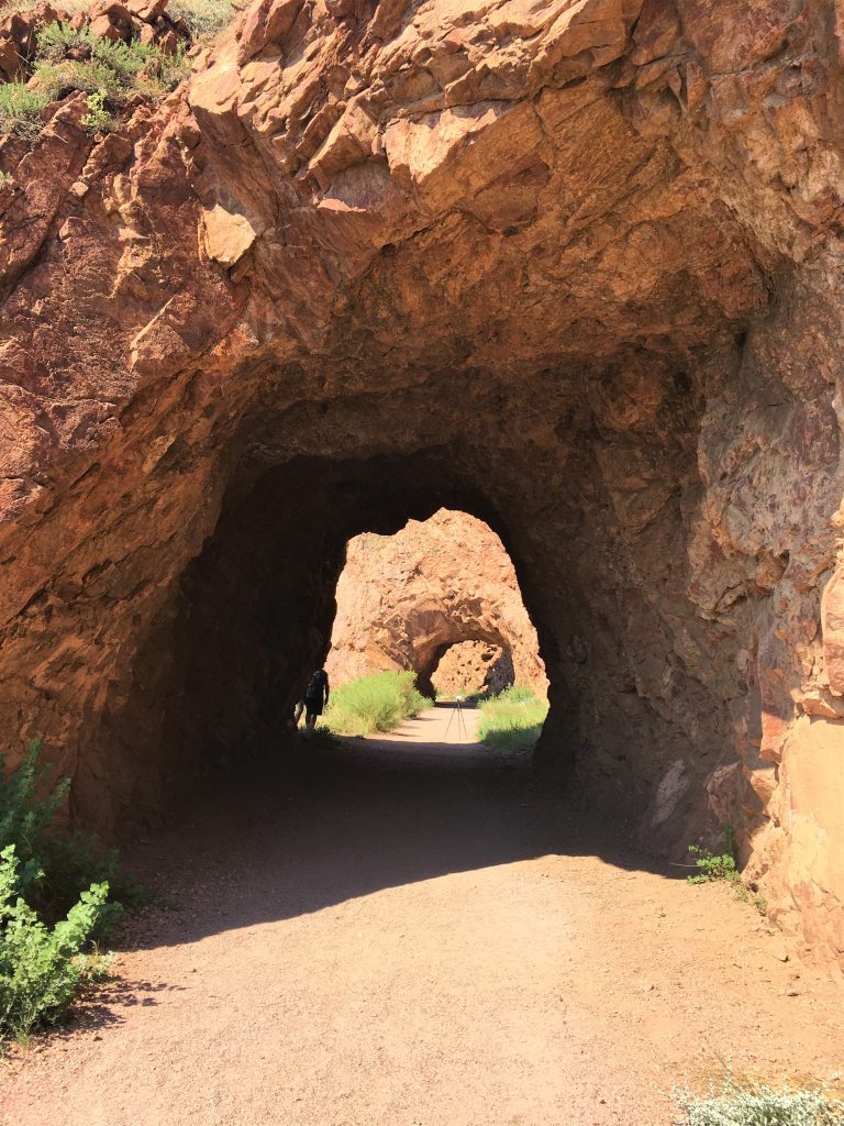
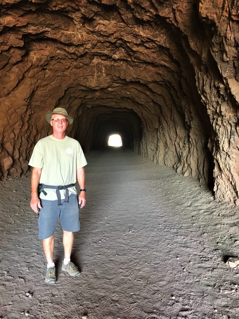
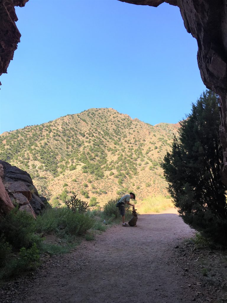
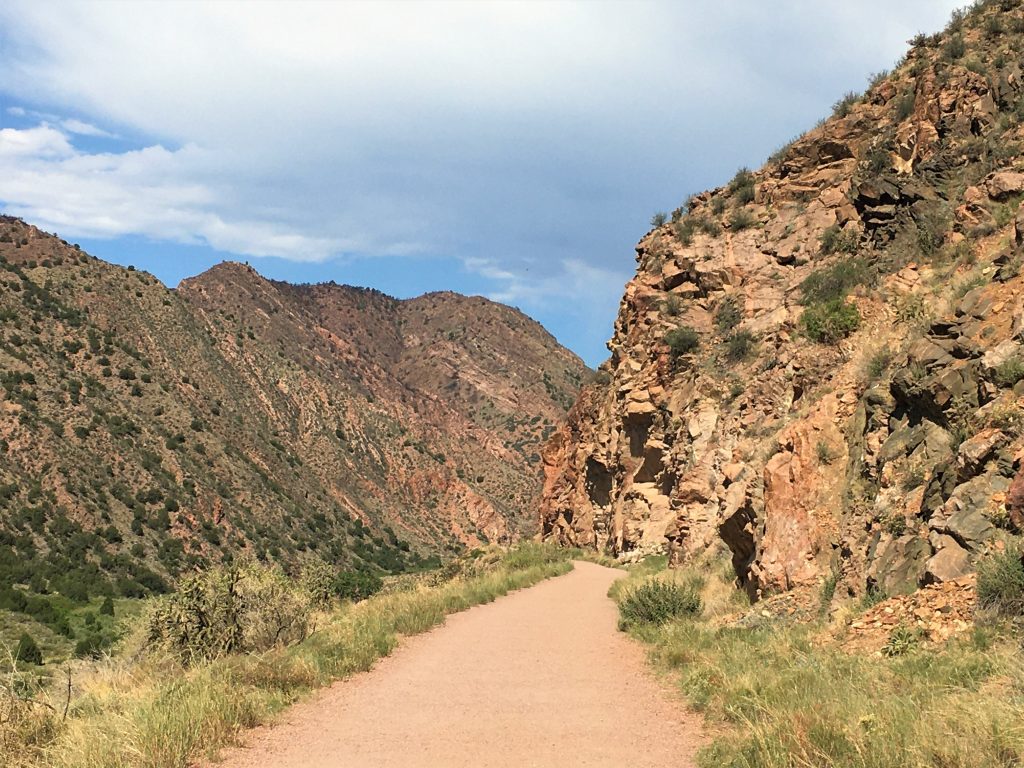
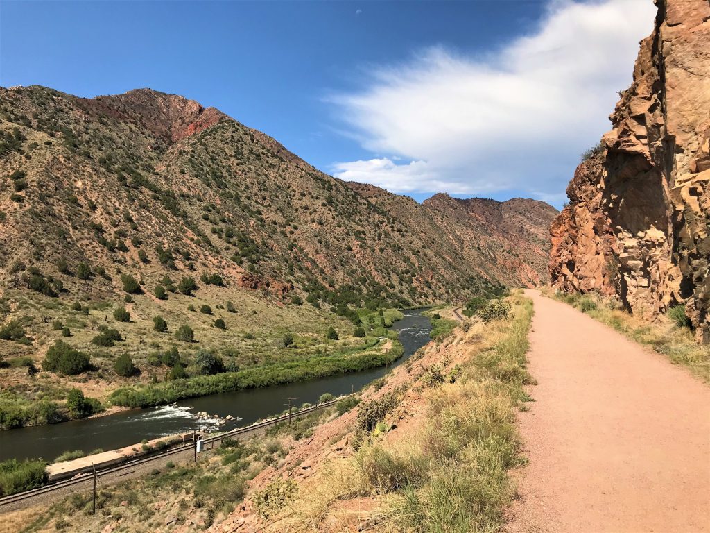
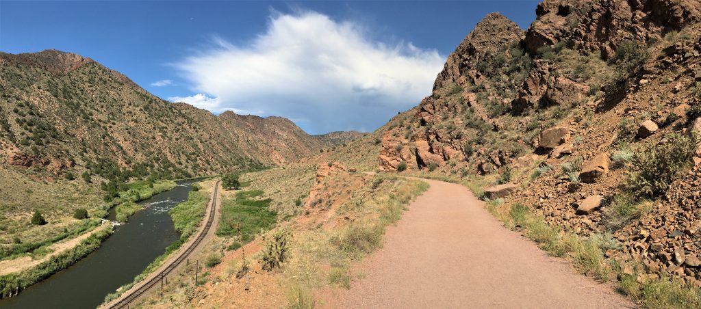
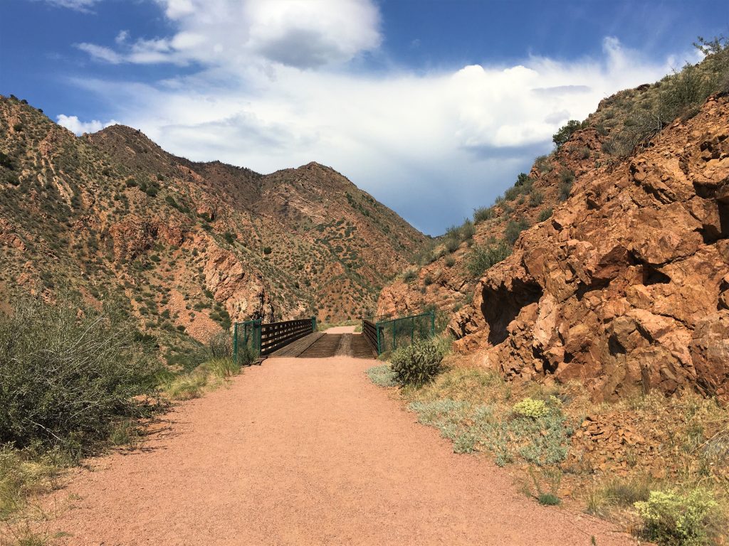
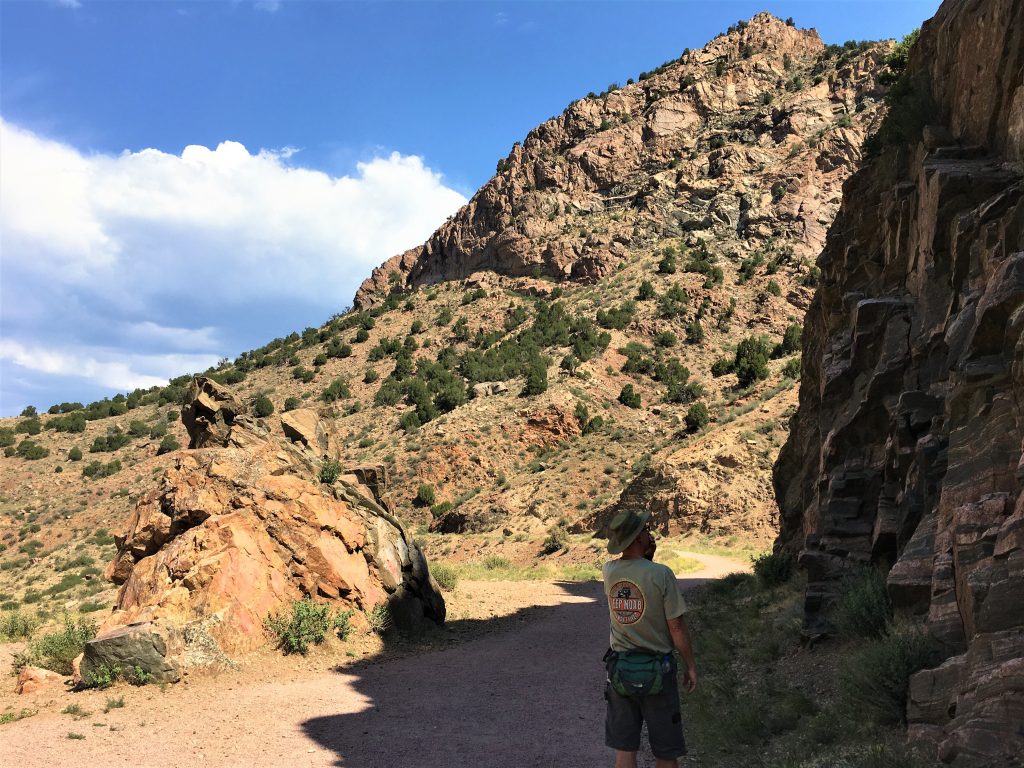
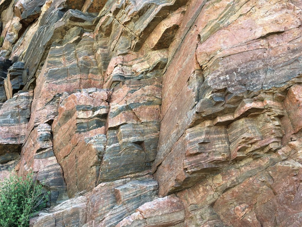
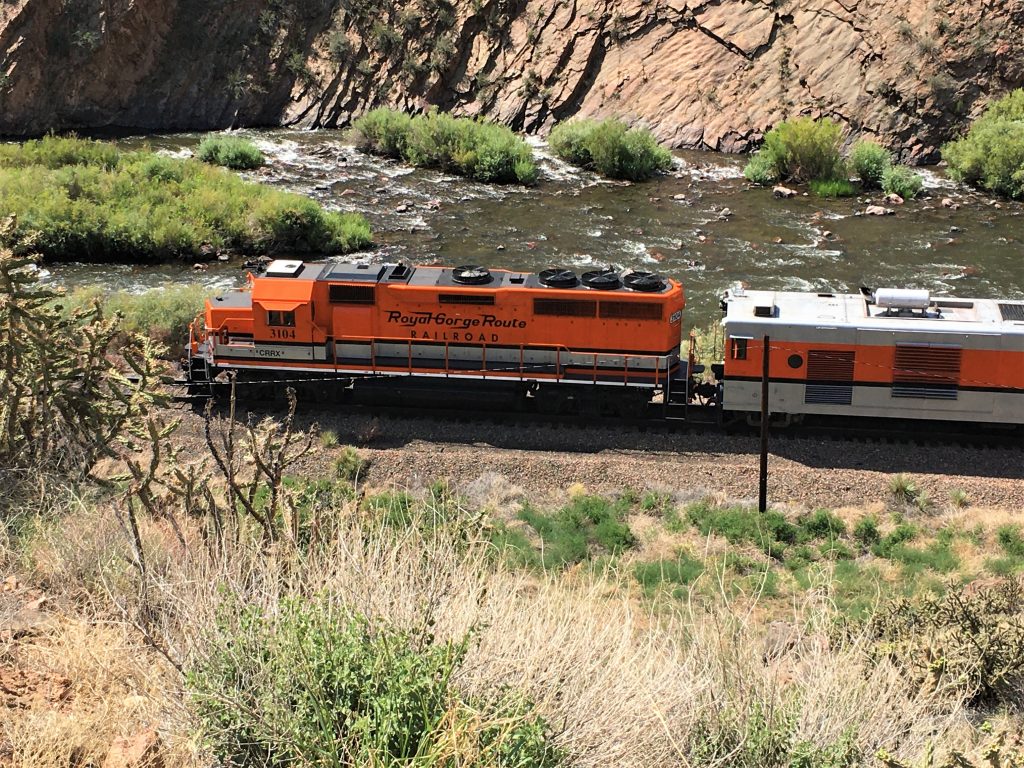
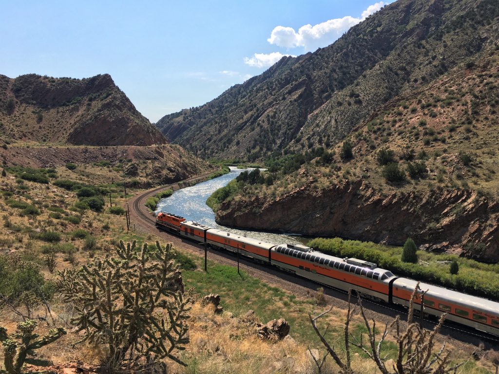
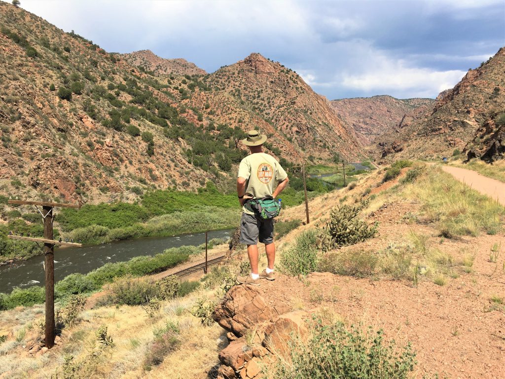
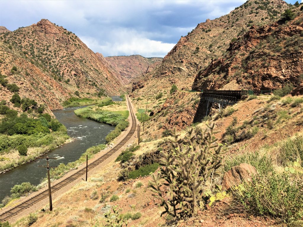
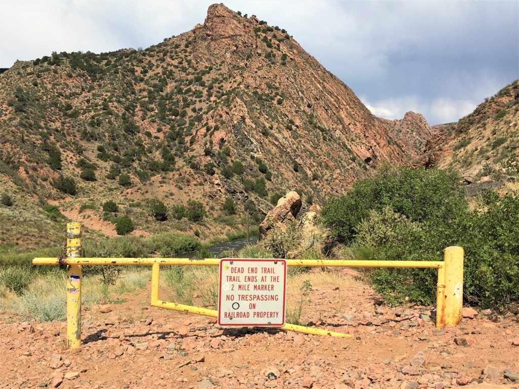
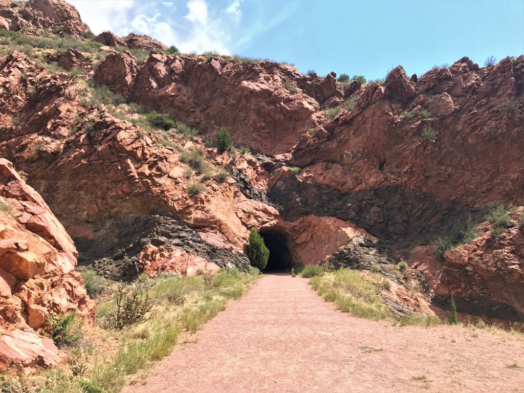
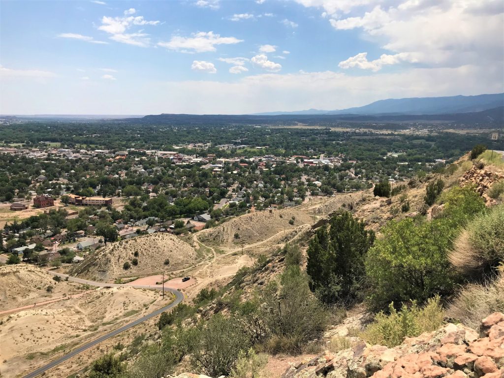
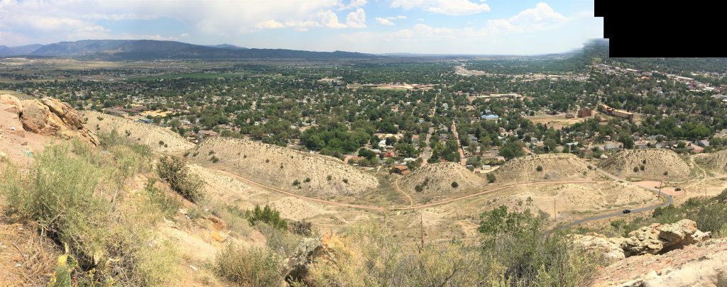
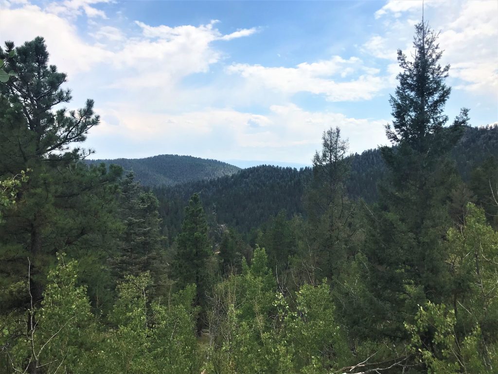
There’s a trail on the way called Tunnel Drive. It’s a wide, flat gravel trail that’s 4 miles round trip. There’s zero shade though, so when the sun peaked out from behind the clouds (which was most of the time for us), it was pretty warm. Beautiful rocks and views of the Arkansas River, and several tunnels to walk through. It seems back in the late 1800s, it was originally supposed to be a ditch to move water from the river to other areas. The tunnels were cut by prisoners – one is 400’ long, but due to complaints of damage by the blasting to homes and property, as well as the expense of blasting materials, the project was ended. It resumed and was completed in 1910. Eventually, it became a road, and then reopened as a community walking trail in 1997.
Just kinda tucked away, close to town.
Can you pick out the Jeep waiting patiently for us?

We’ll have to look into that . . .
and decided to watch them to see how rough the water is here.
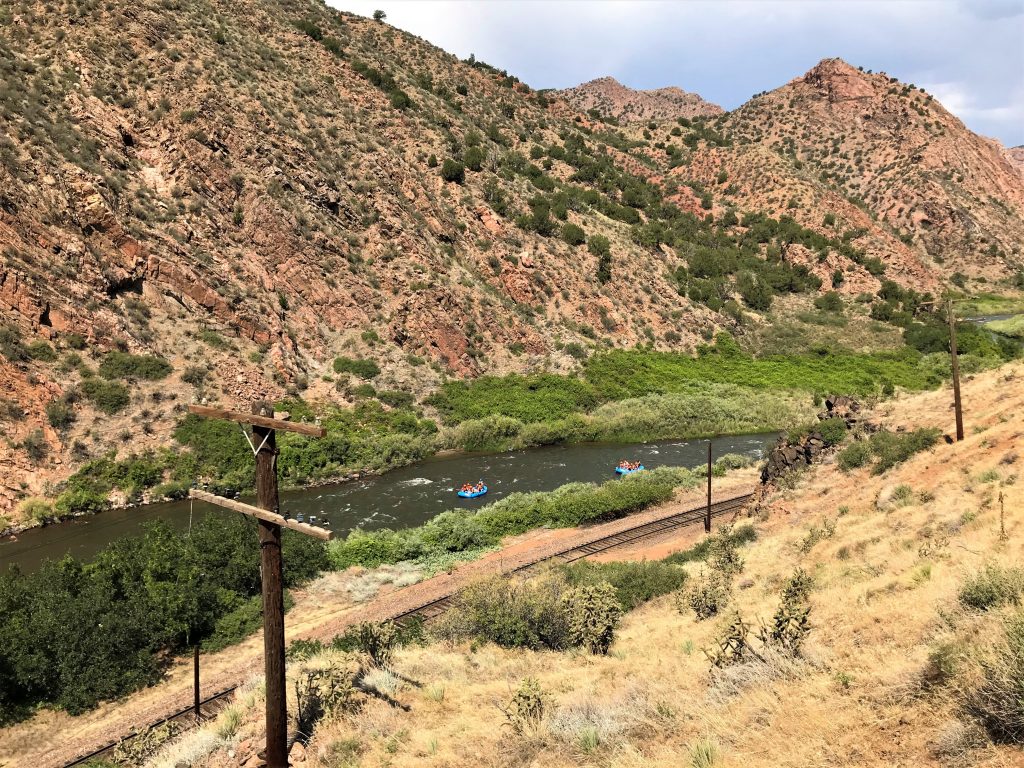
That’s baby stuff!
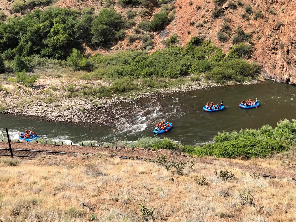
We’ve done some REAL white water in our younger days, and it wasn’t even close to being as tame as that!
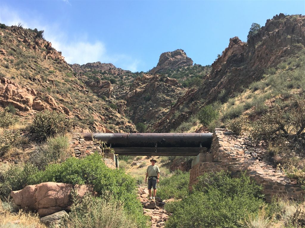
It’s remnants of the water line they installed years ago.
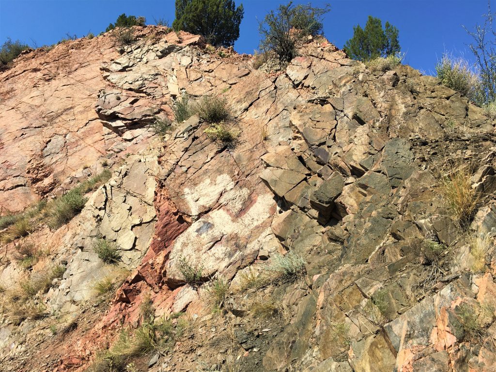
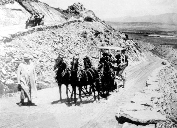
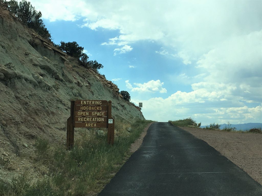
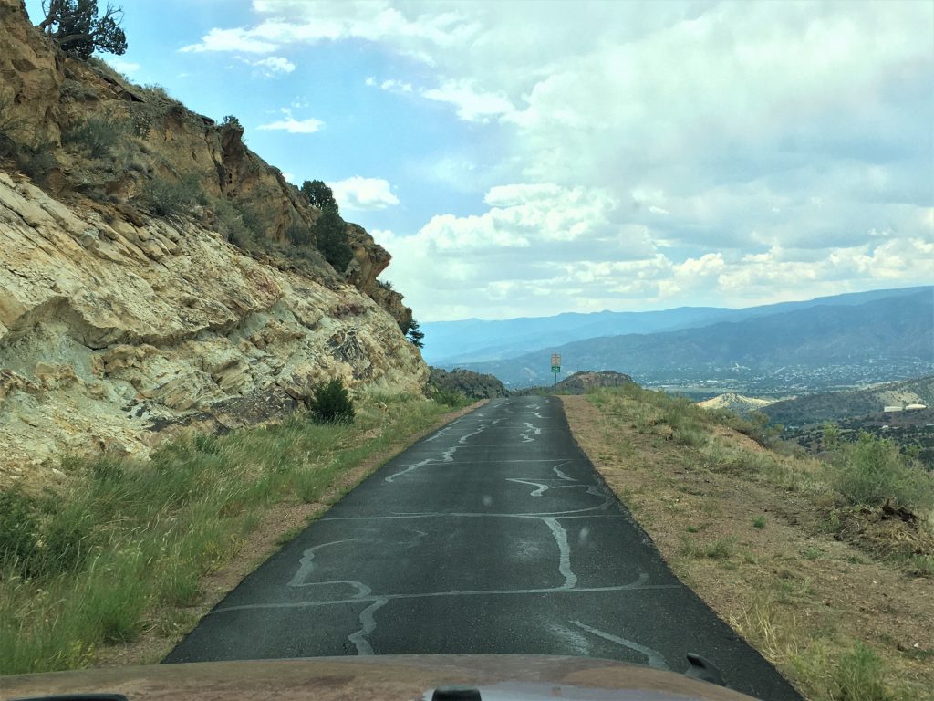
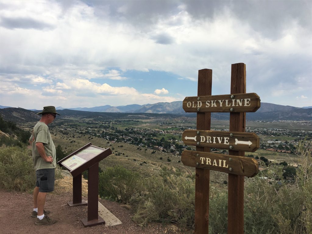
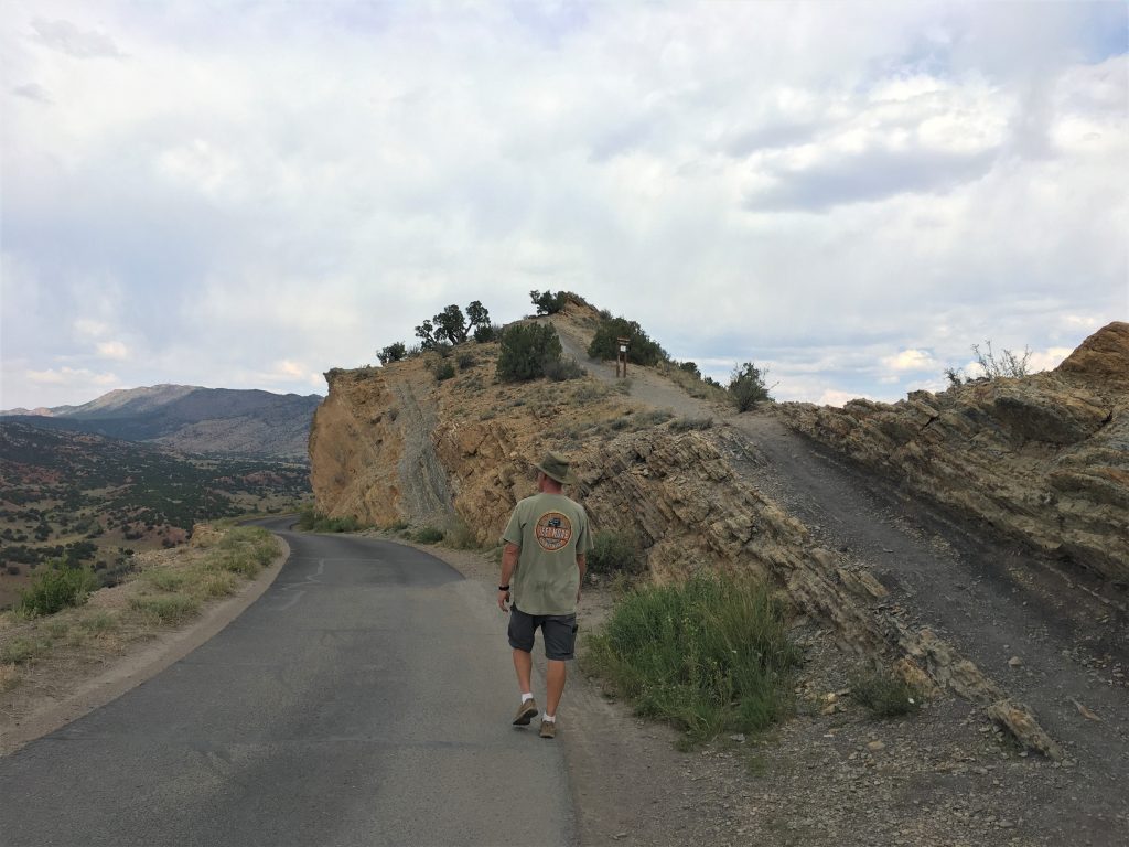
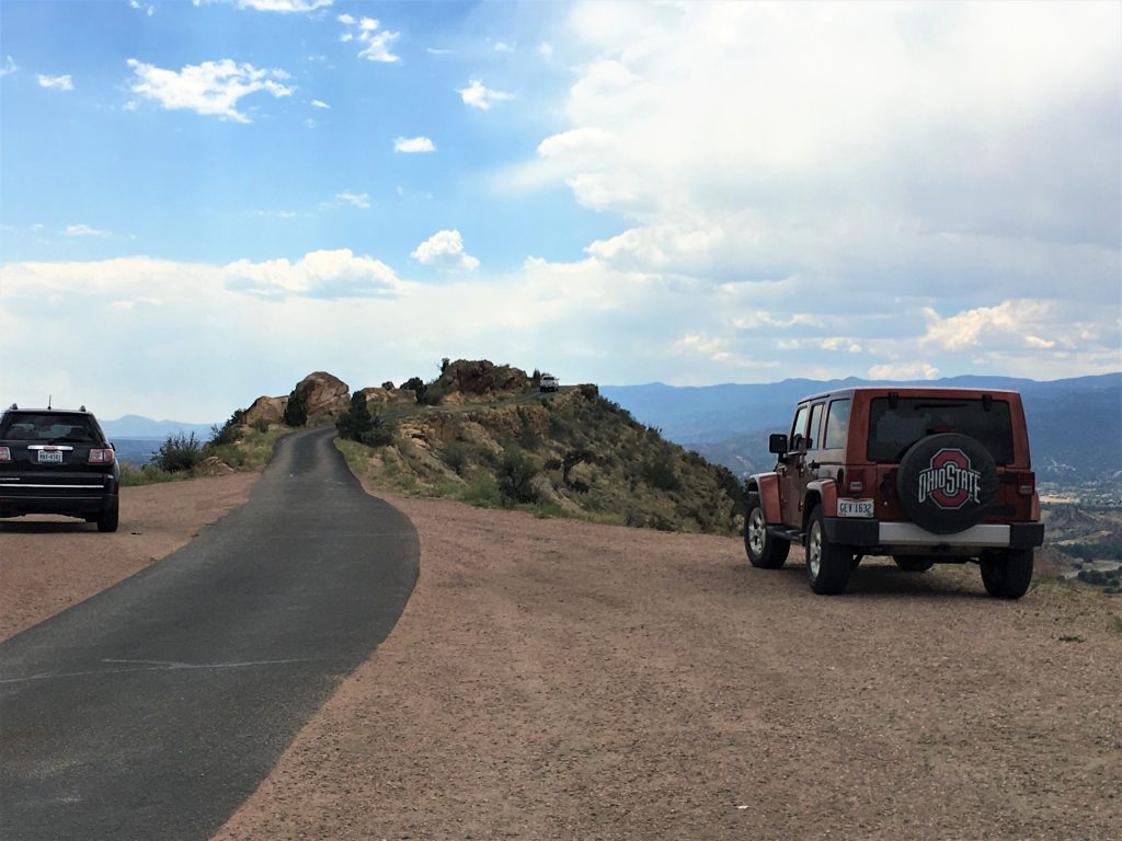
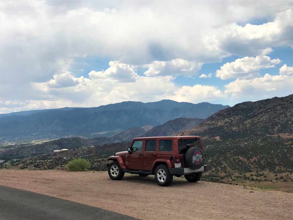
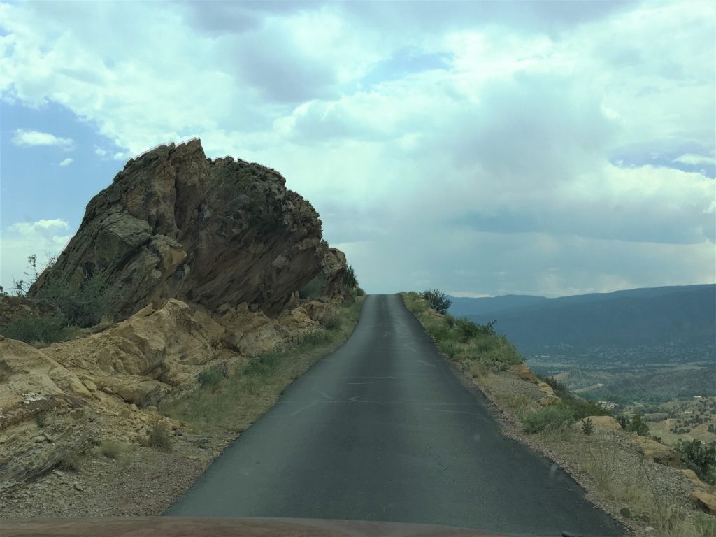
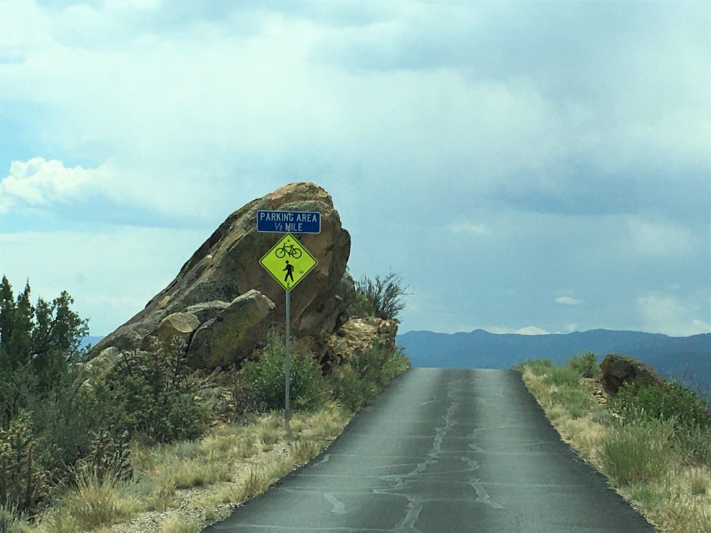
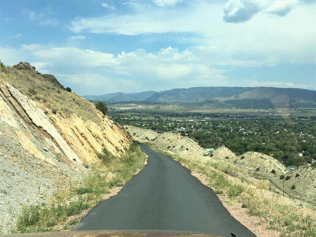
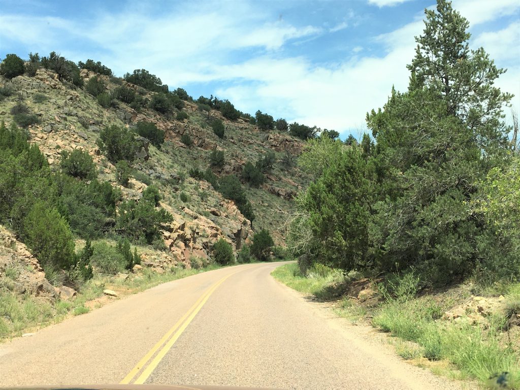
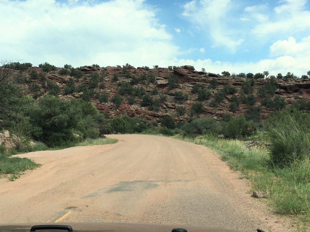
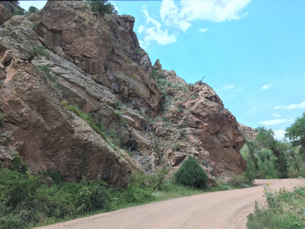
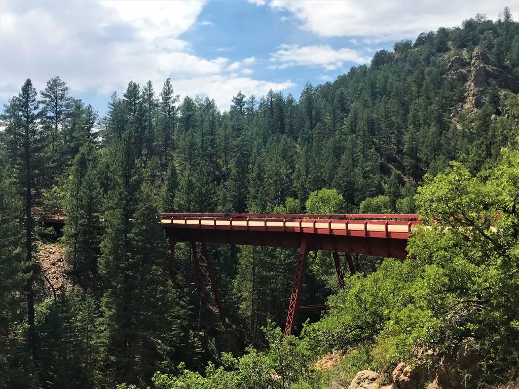
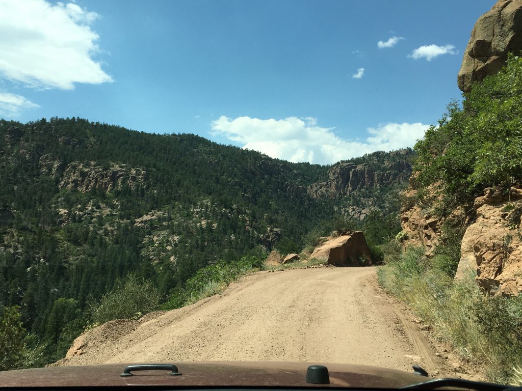
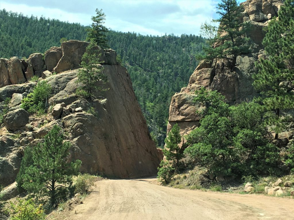
Another stop on the way to the mining towns, was a harrowing, very narrow, one-way trip (pointing us in the same direction) along the 2.6-mile Skyline Drive, which was also built by prisoners, in 1905. The sixty men received 10 days off their sentence for every 30 days worked. (Pretty sure I’d drag my feet if that was me. 😊) It’s advertised as being along the Hogback Hills, and we learned why it was thus named. I’ll tell you on the picture. 😊
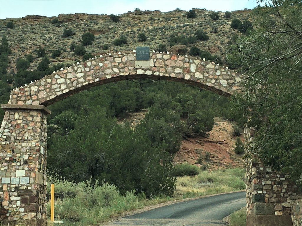
The arch was built using a native stone from each of the 48 states in the union.
(Alaska and Hawaii didn’t become states until 1959)
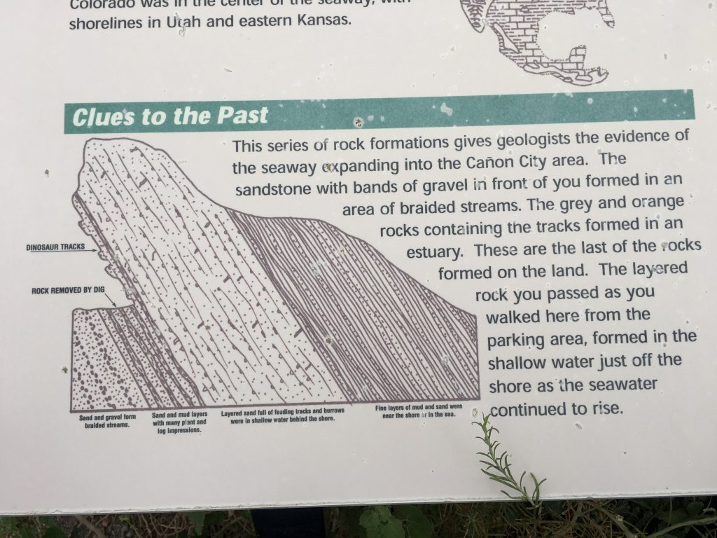
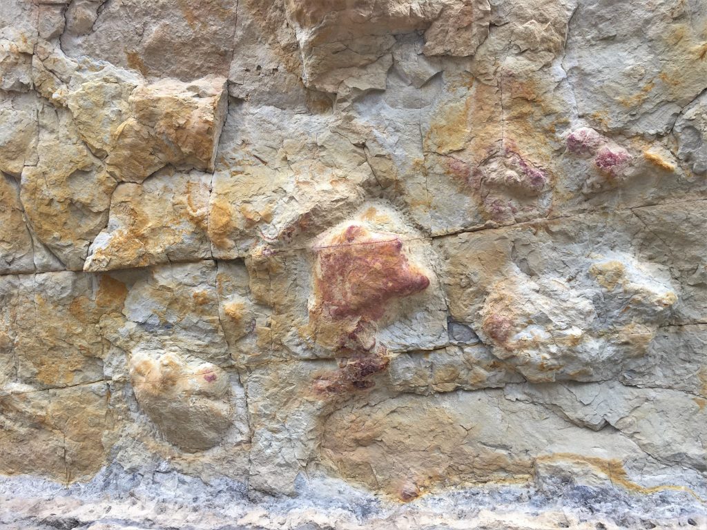
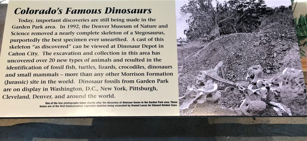
Anyway, there are also ankylosaurus prints that were discovered in 1999 by a paleontology student. We knew they were supposed to be here, but it took us a really long time to recognize them for ourselves! I think mostly because they’re not where you’d expect them to be. Apparently, the ground moved after the prints were left in muddy marshland, and that made the prints look like knobs along the side of the mountain.

Pretty incredible that they had cameras back then, and color ones at that!
Whadaya mean you can’t see it? lol
It seemed to us that the “red” one was the most prominent.
We successfully completed the remainder of the drive, which I suppose if we had not, I wouldn’t be writing this.
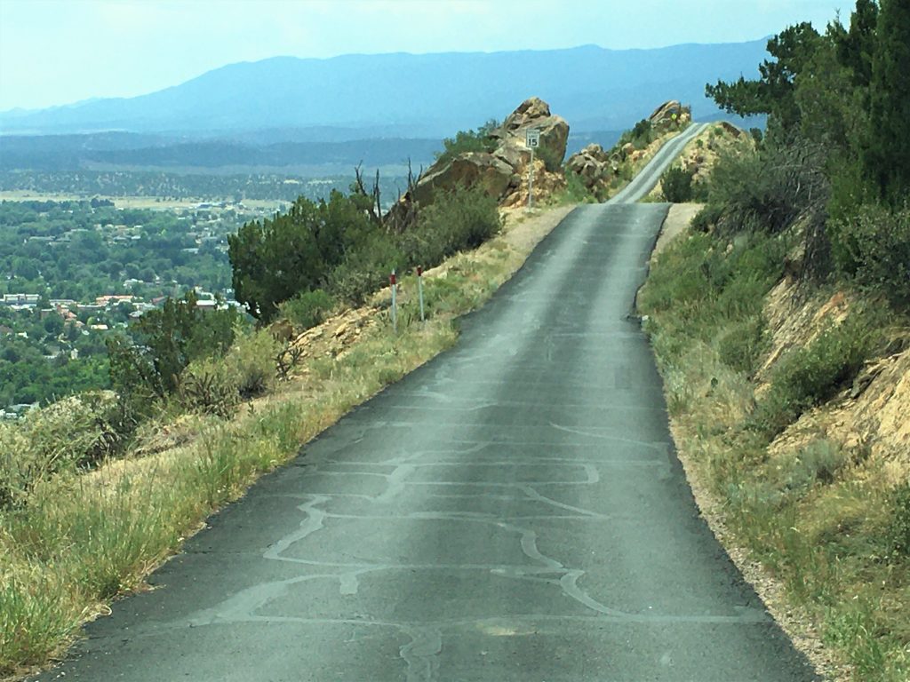
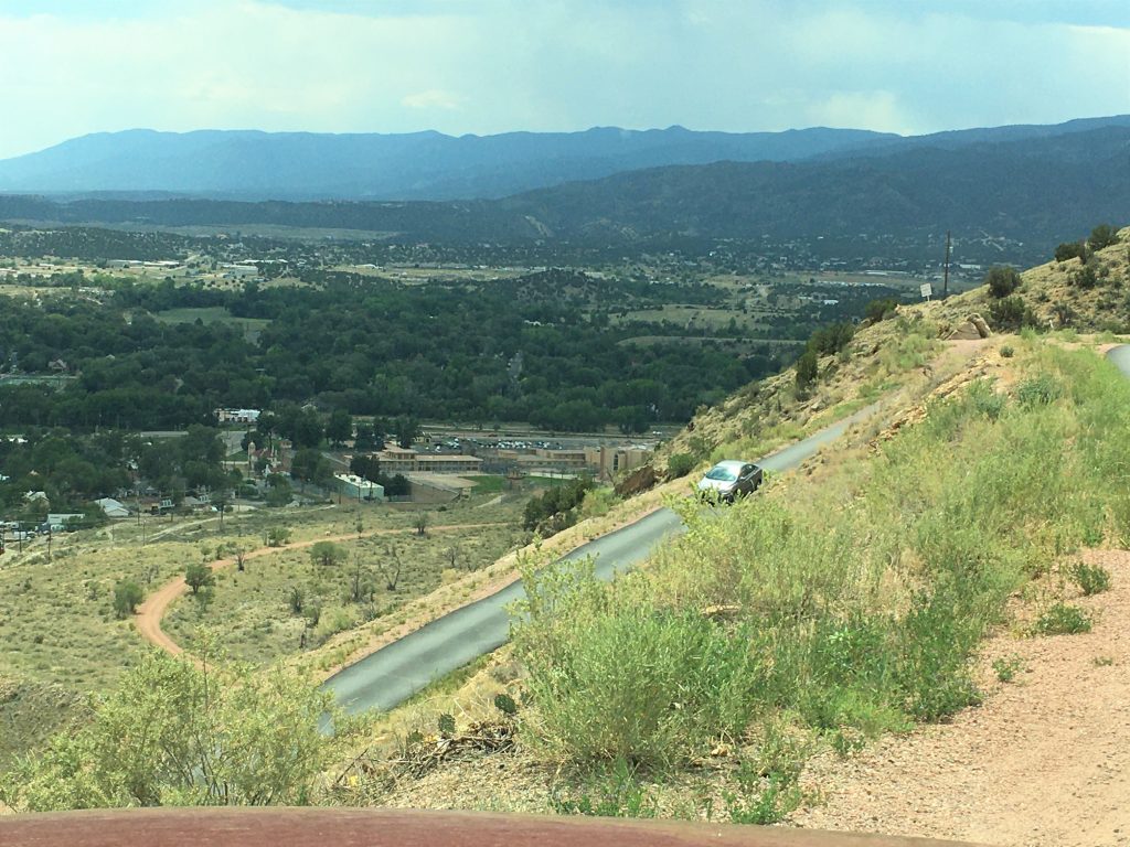
and you have to negotiate a tight hairpin turn just before. Yikes!
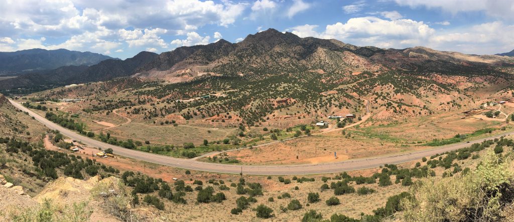
We’re pretty sure that’s where the Hogback came from.
They look like hogs lying down. : )
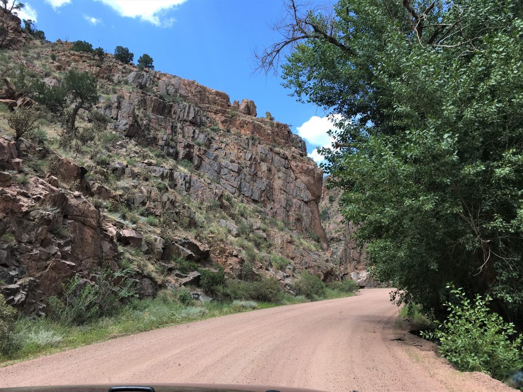
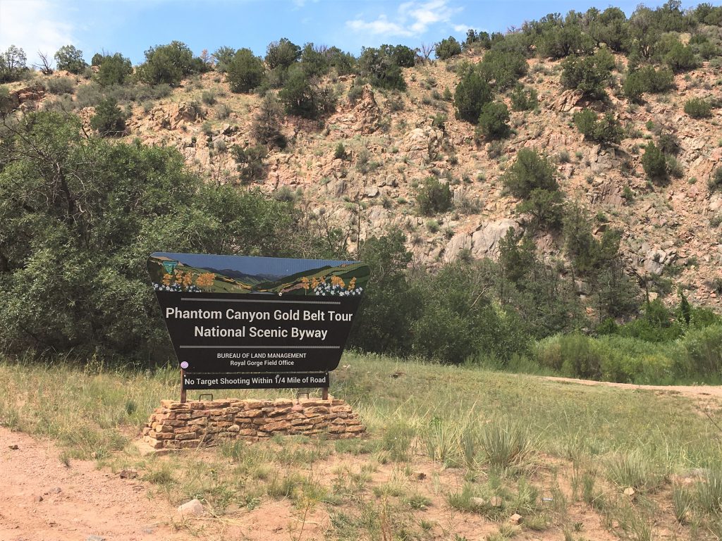
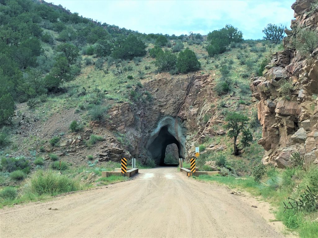
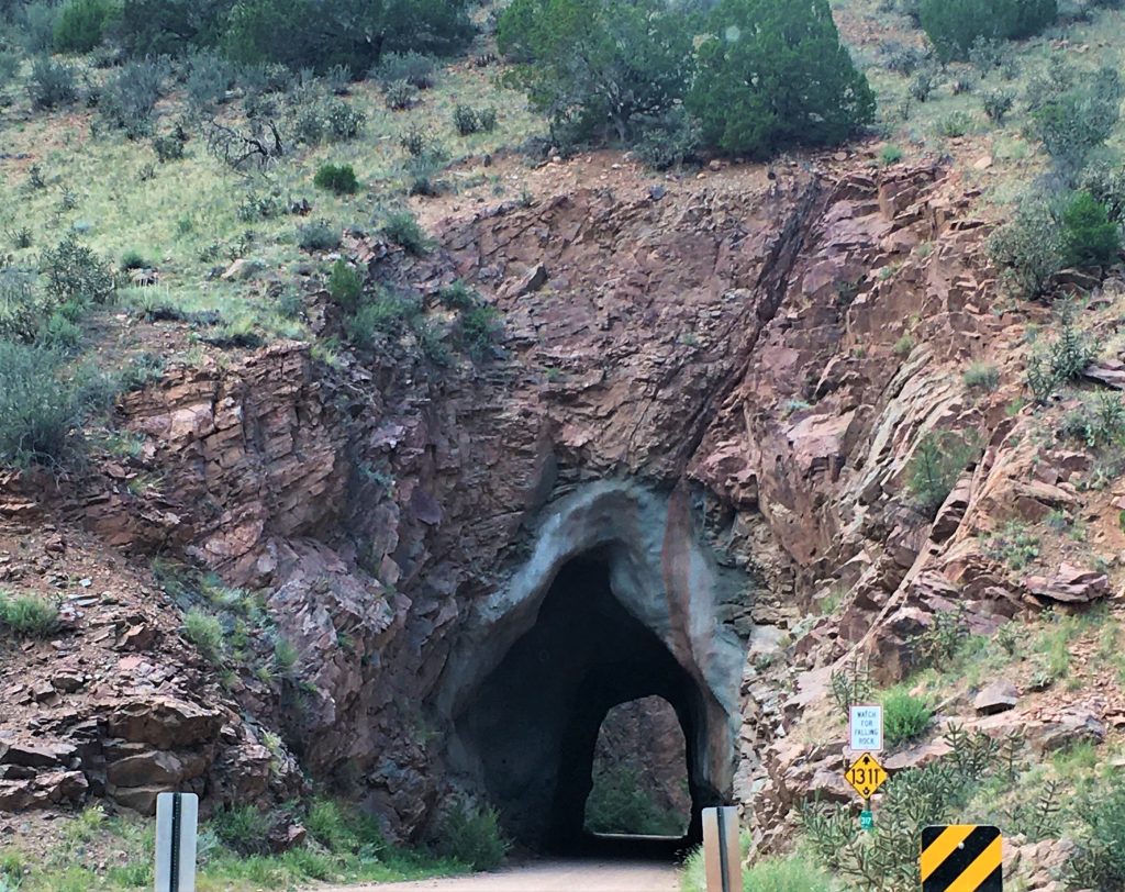
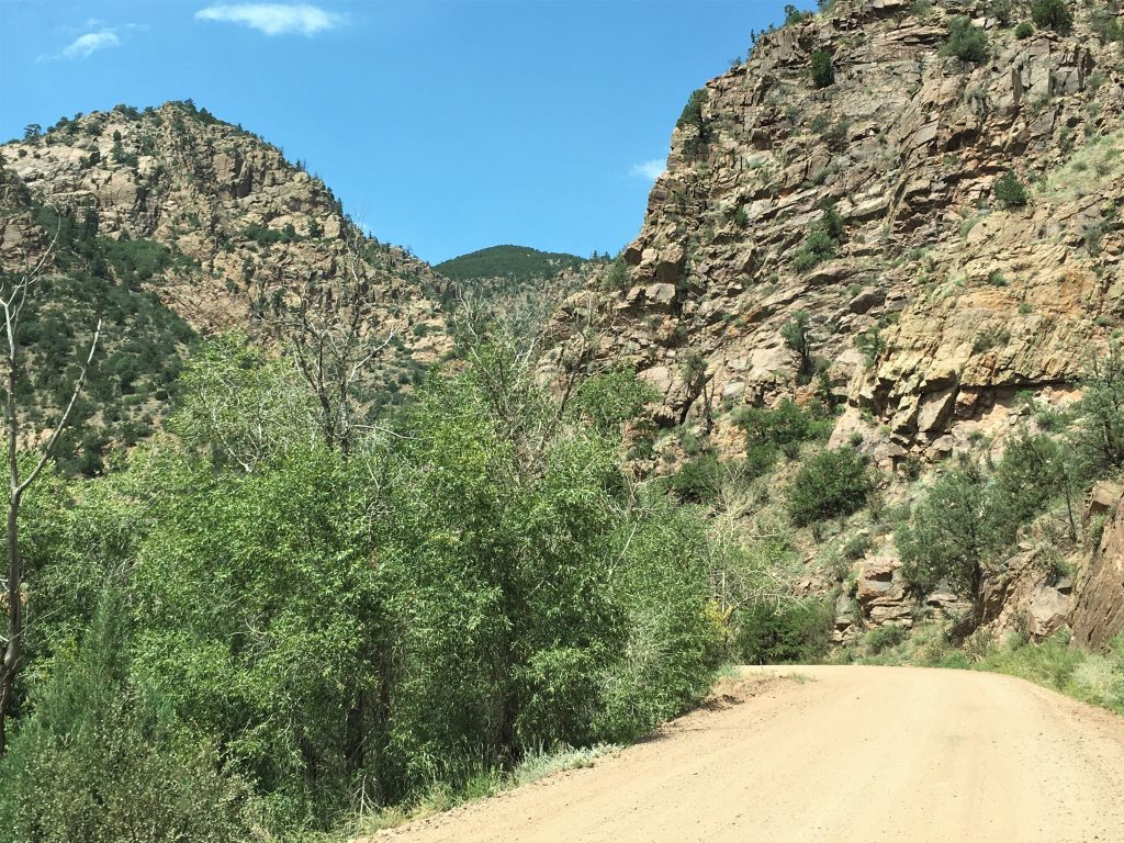
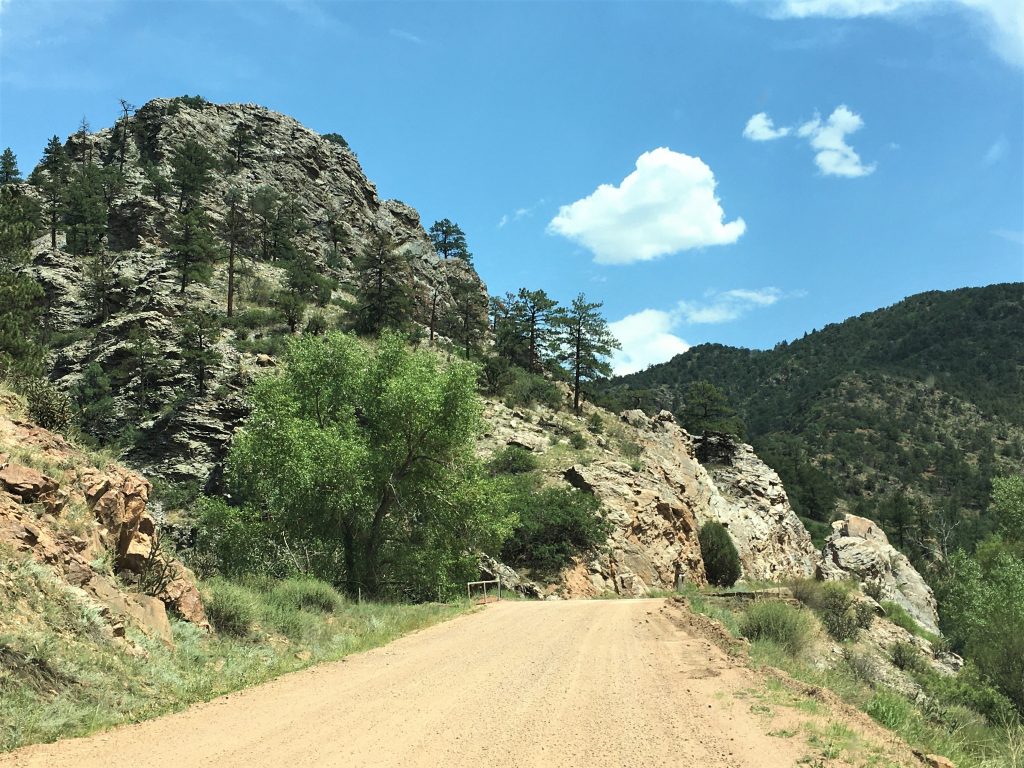
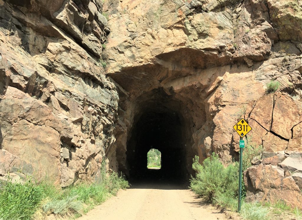
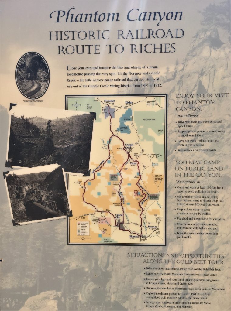
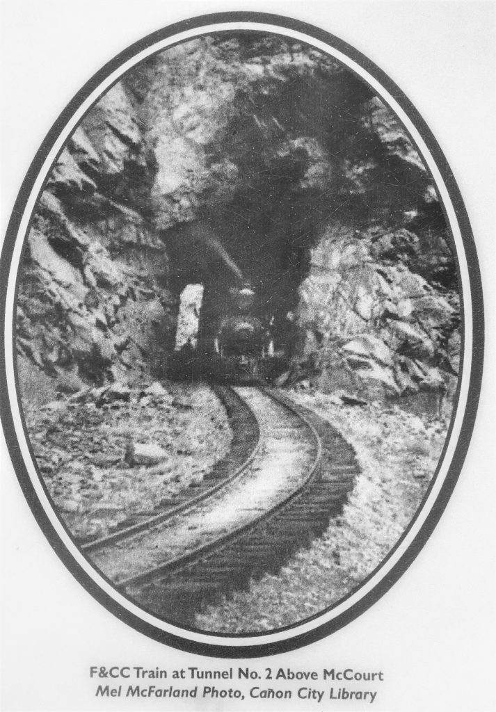
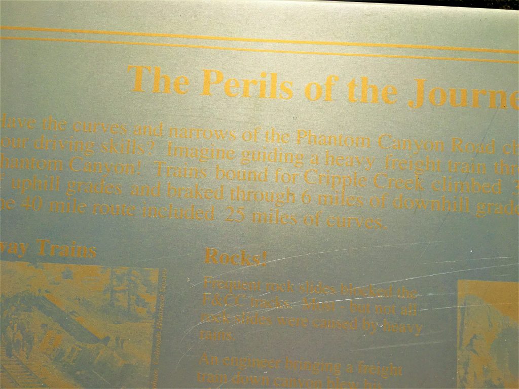
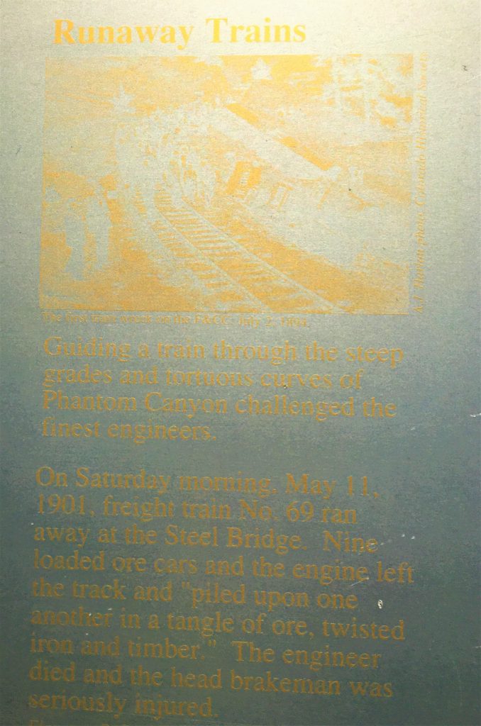
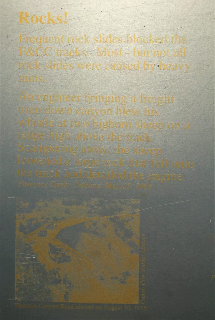
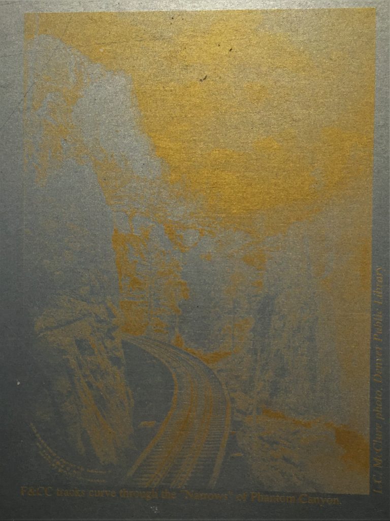
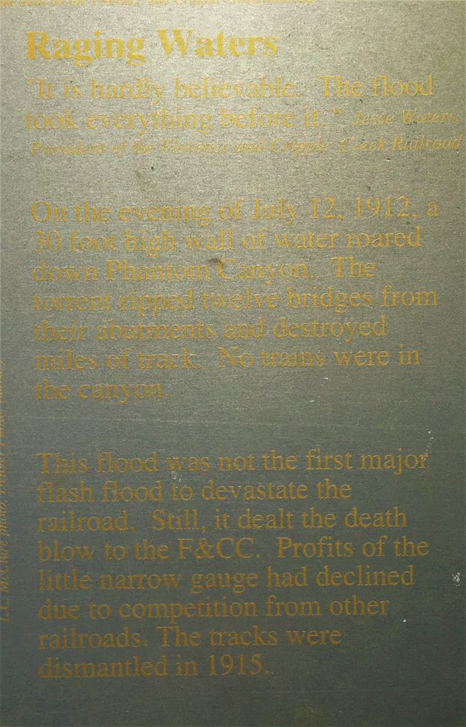
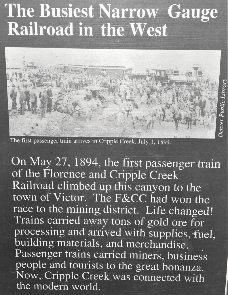
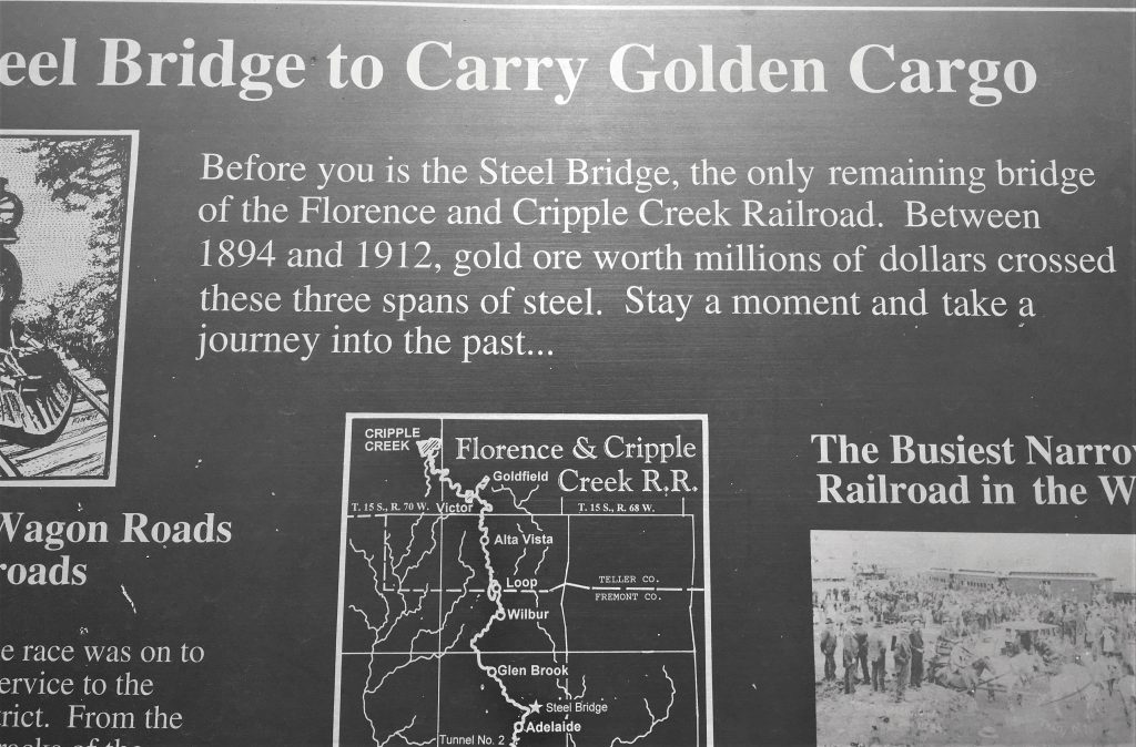
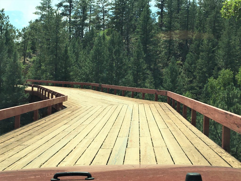
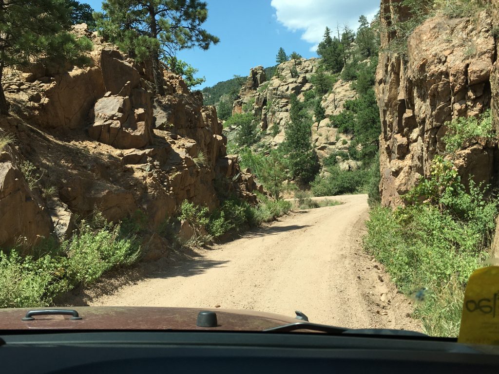
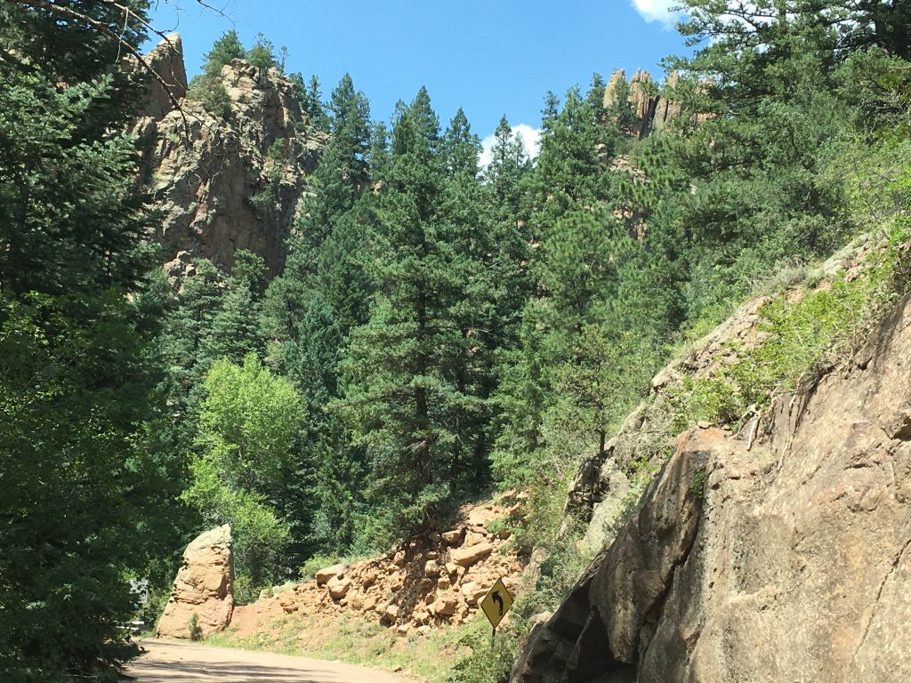
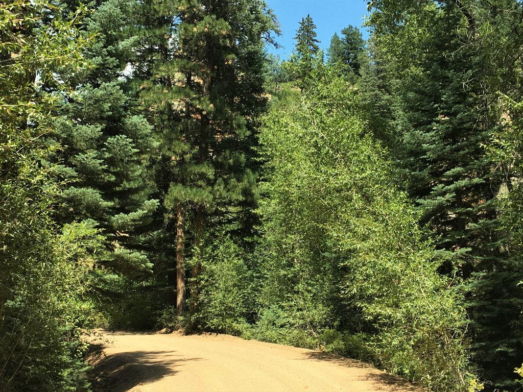
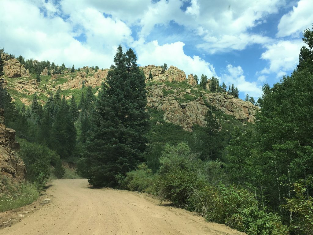
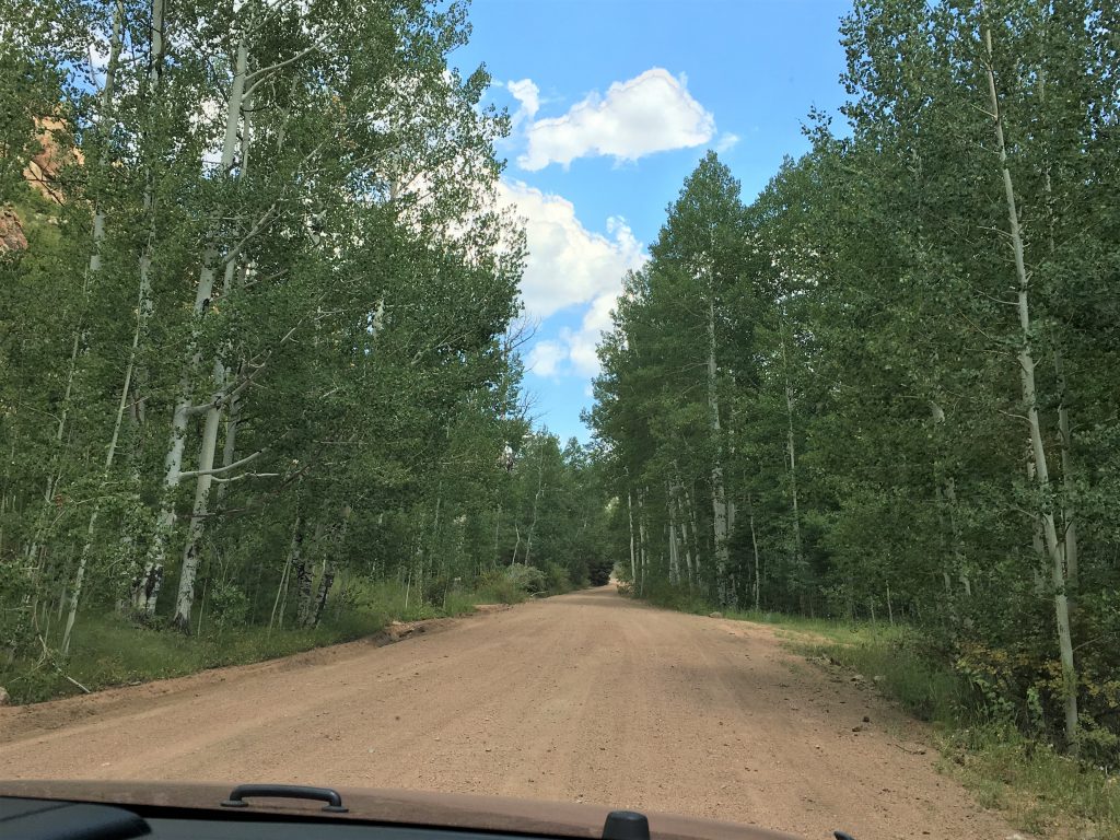
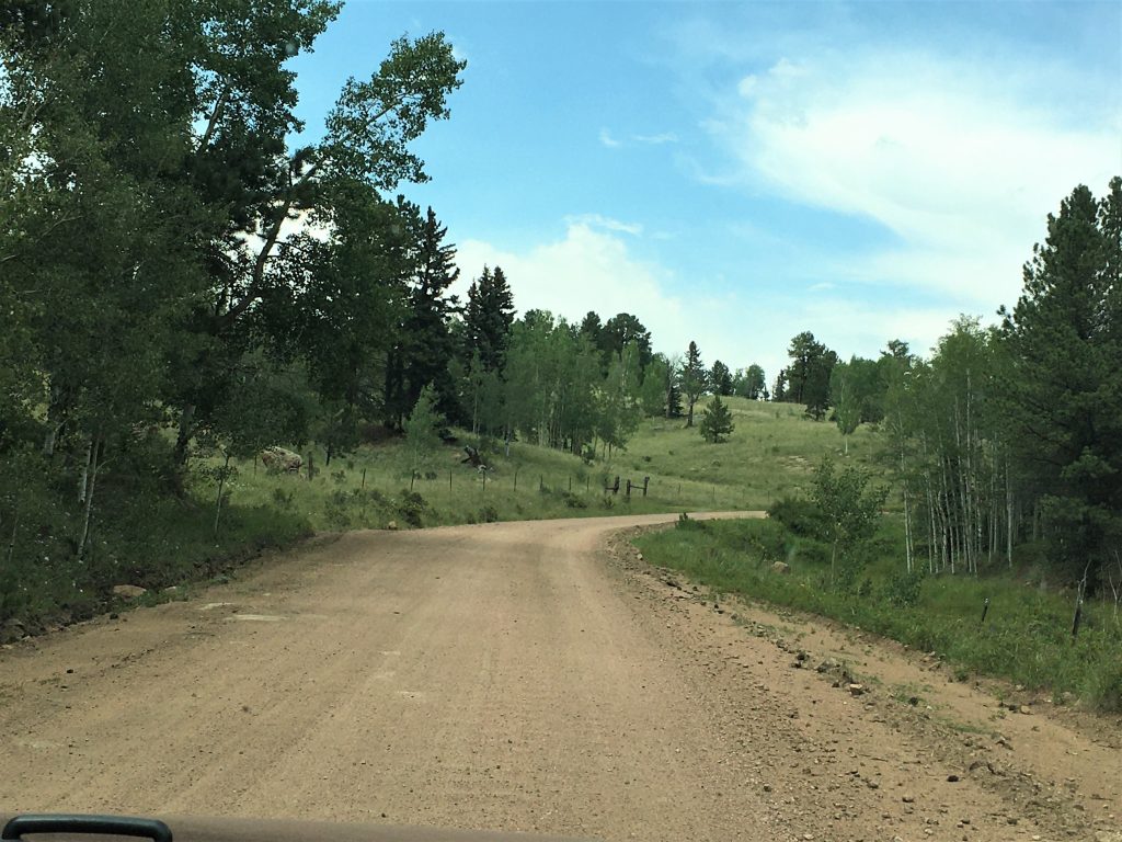
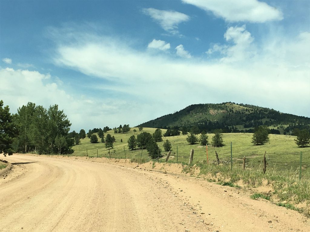
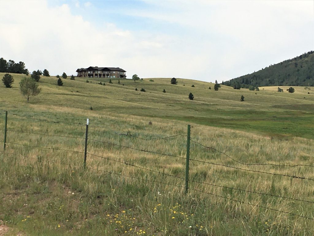
Yet another scenic drive, Phantom Canyon, took us ever closer to our final destination for today. It was a gravel/dirt drive that held its own beauty and unique information.
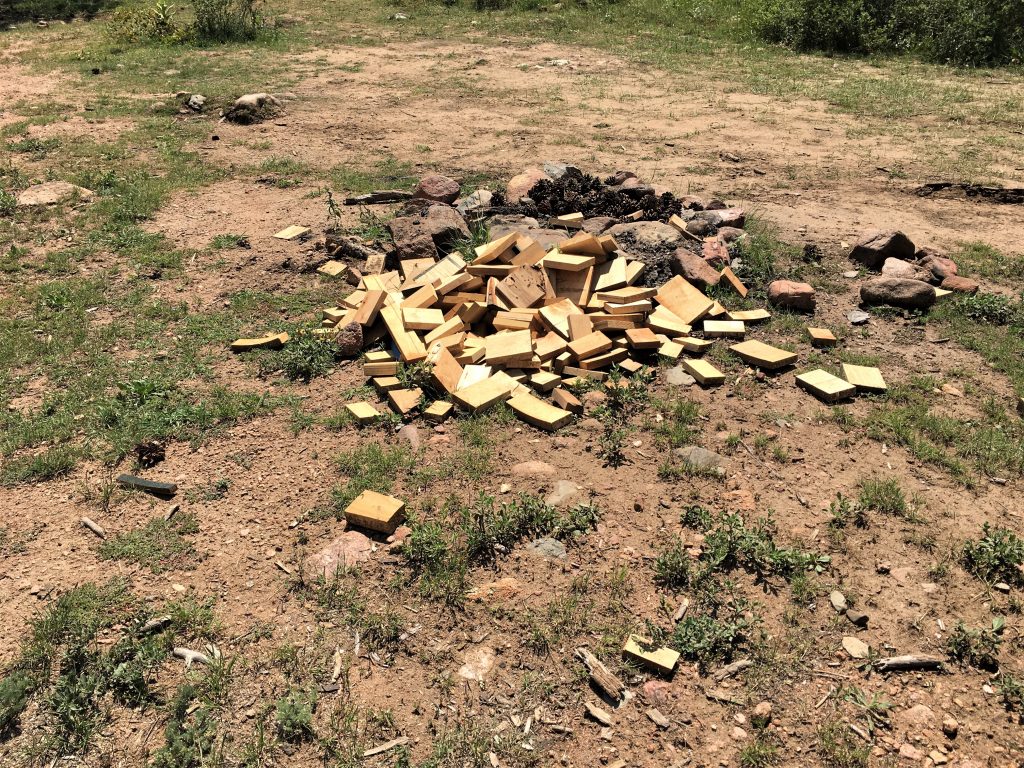
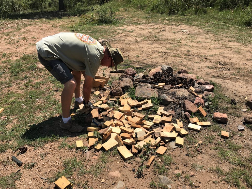
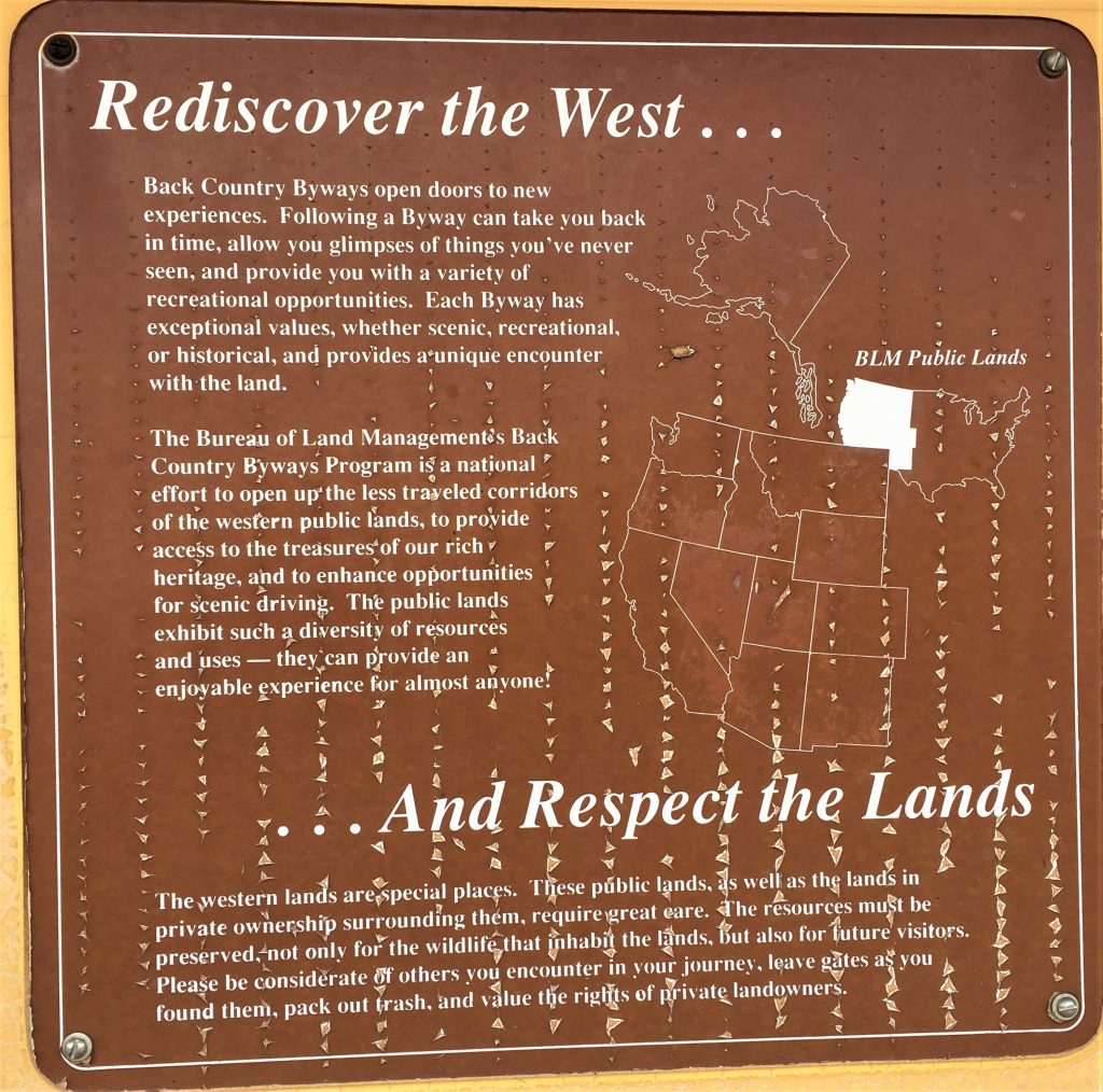
And we hit a mother lode of wealth of a different sort, when we spotted a huge pile of wood blocks off the side of the road. Hey. Don’t judge. We’re on BLM land and well-within our rights to claim it as citizens of the US. It wasn’t government property, someone just dumped it here. I suppose it’s possible the original intent was for someone who was primitive camping to use it, but no one had camped here in quite some time – there was stuff growing over and around it. And we left some behind. And in a day or two, we’ll use some of it to build our own campfire – that we’ll grill steaks on for dinner.
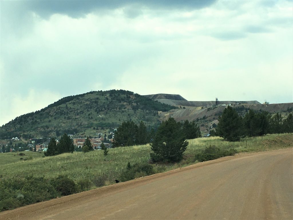
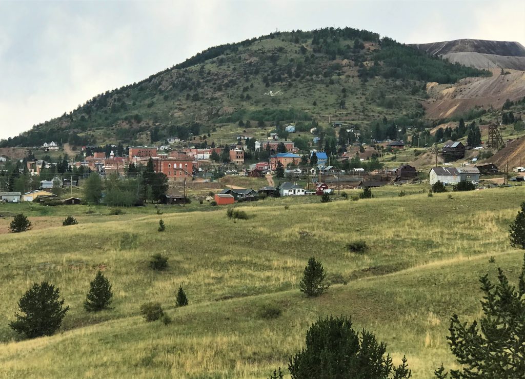
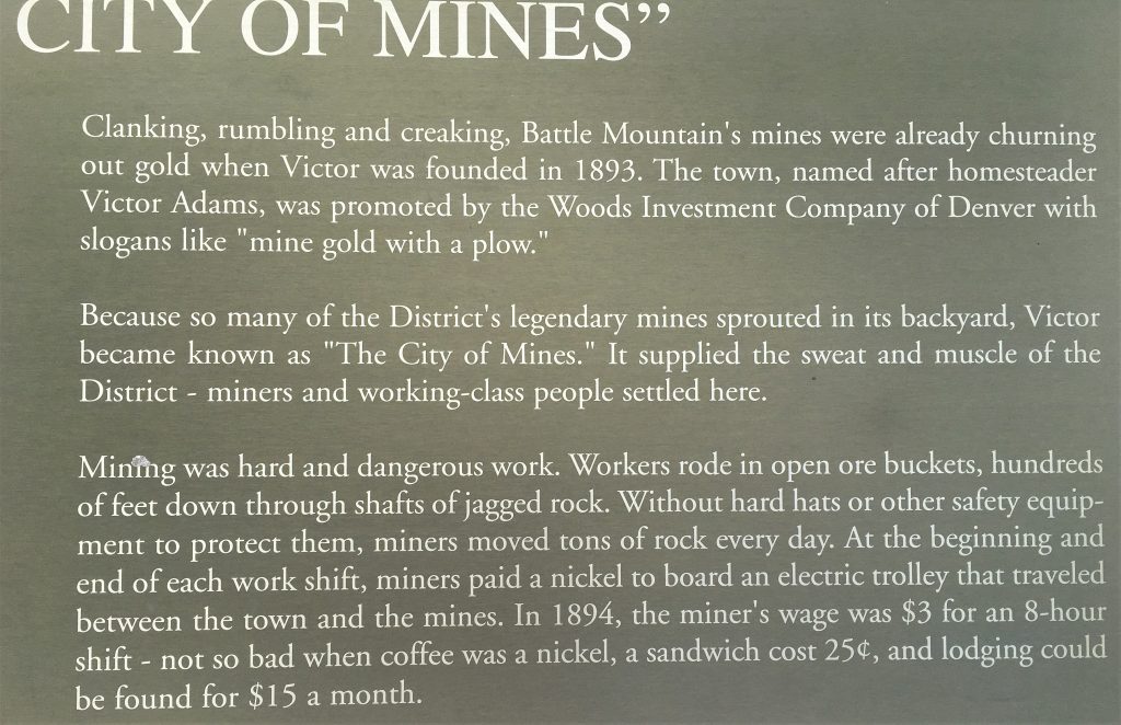
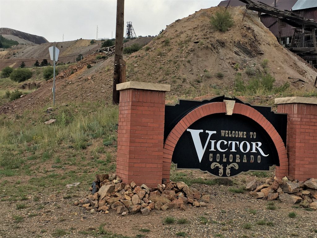
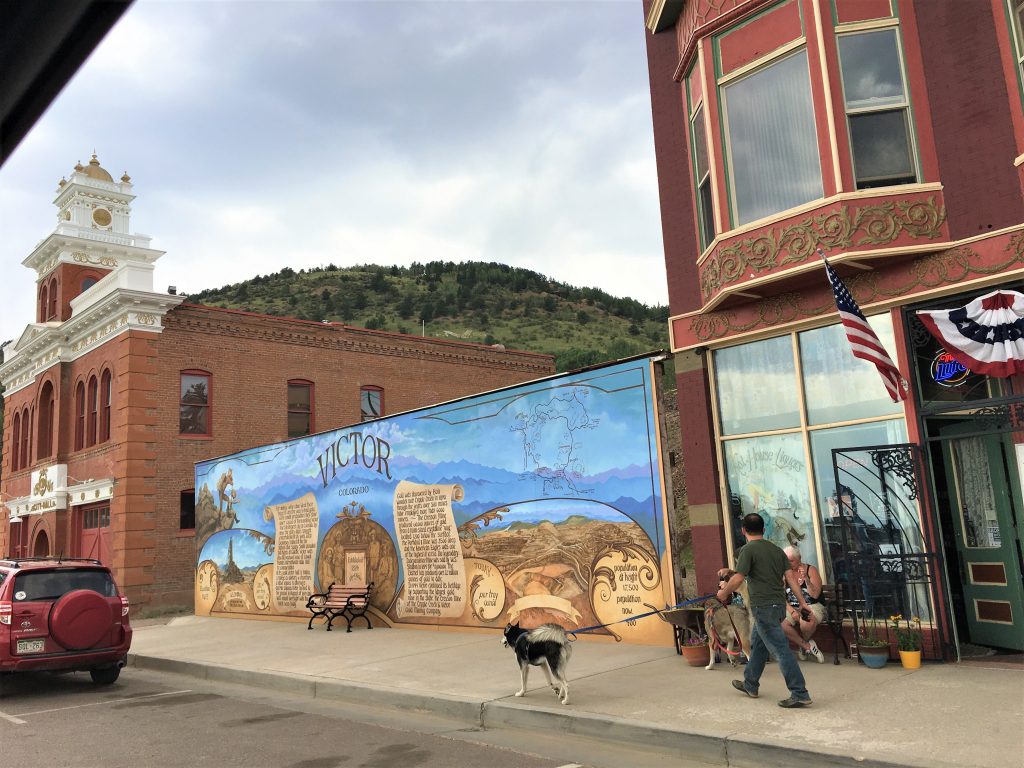
Anyway, back to the drive and the things we discovered in Cripple Creek and Victor. By the way, Victor was founded in 1891, shortly after gold was discovered nearby. It was named after the Victor Mine, which was named for one of the first settlers in the area, Victor Adams.
Also of note, back in the gold heyday of the 1890s,
the streets of Victor were paved with actual real gold!
Believe it . . . or not . . . !
Someone did a pretty nice job.
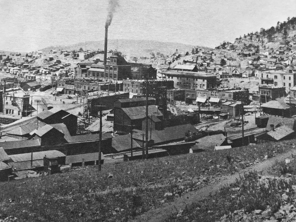
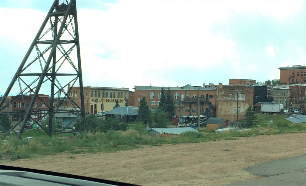
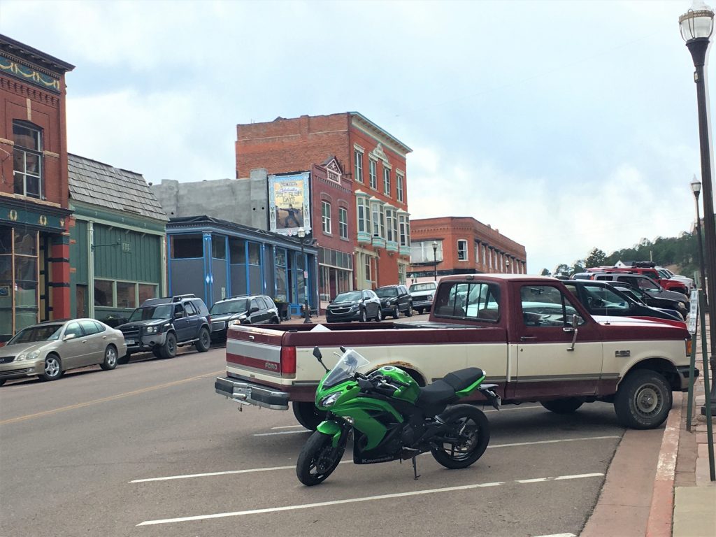
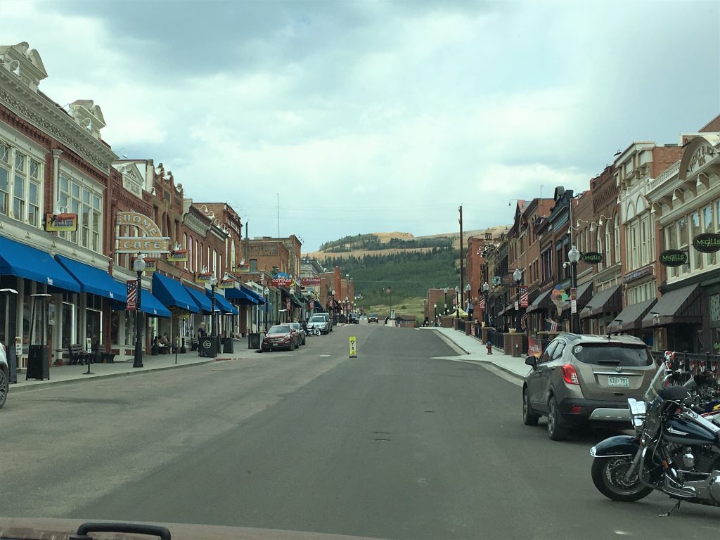
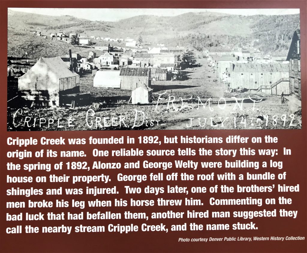
It seems the two towns are frequently joined together as if they’re one town. Cripple Creek (so named as the legend goes, because of several accidents along the creek by the same name) is much more “developed” with their multiple casinos, than the small town of Victor.
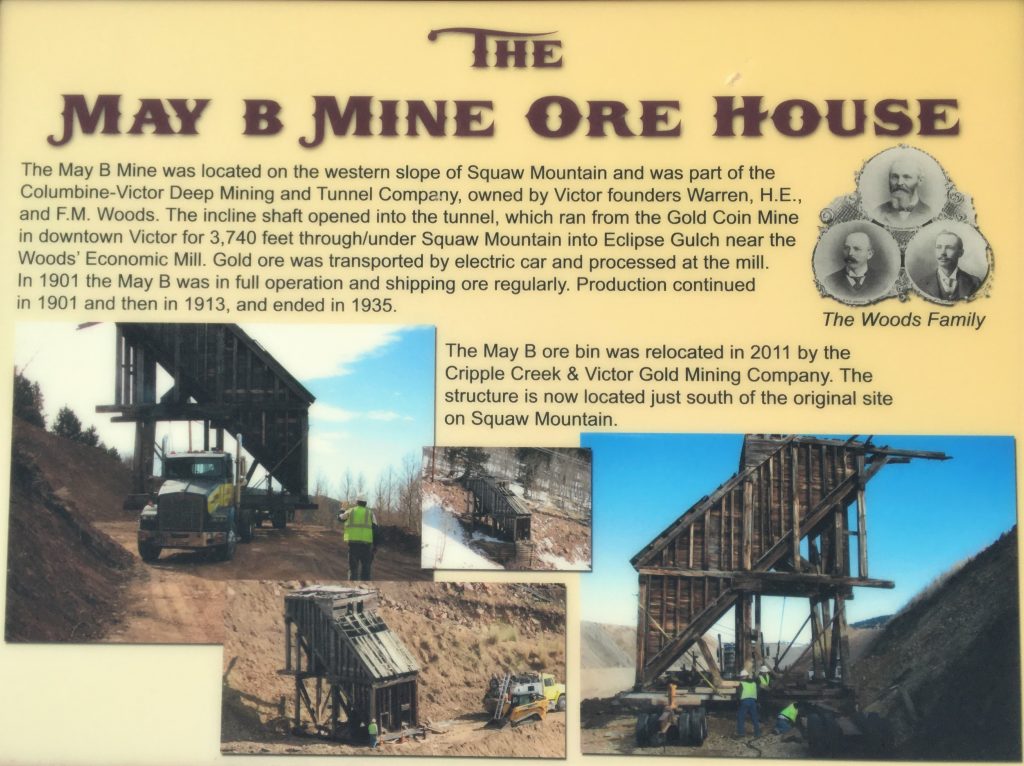
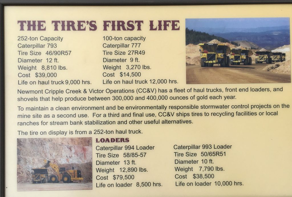
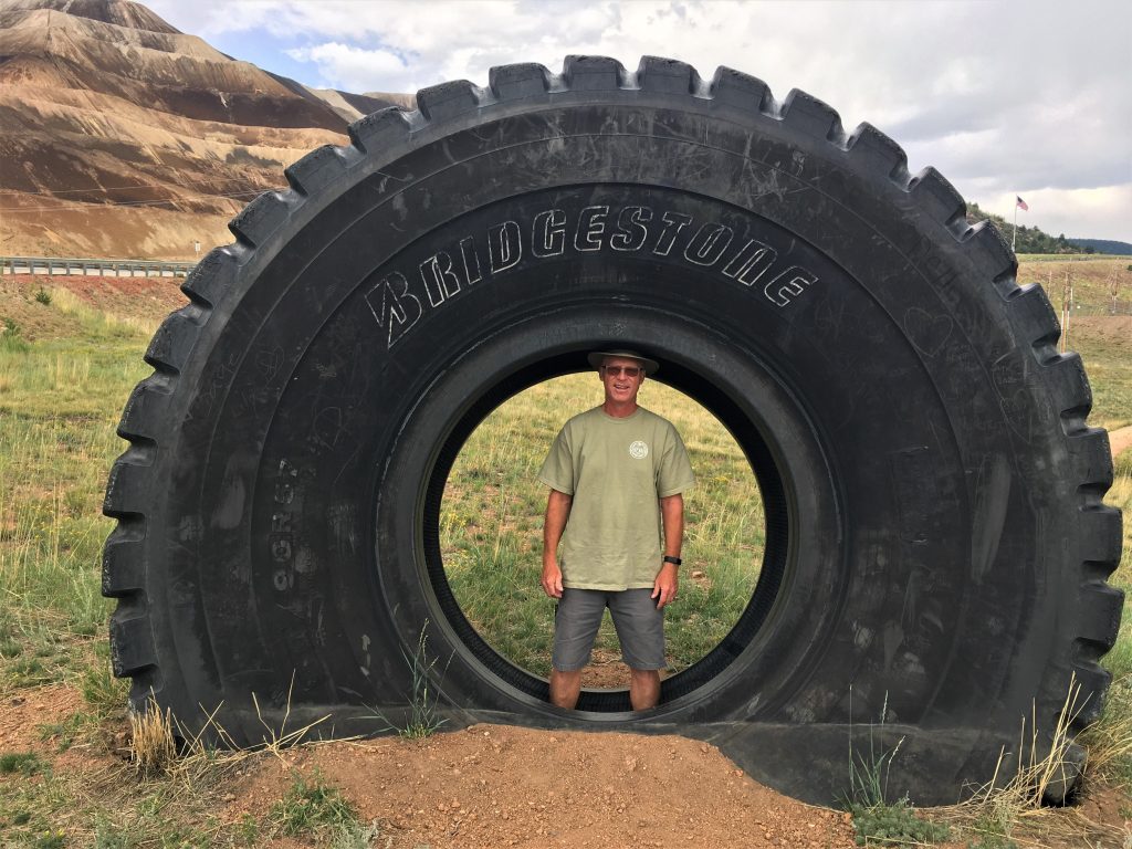
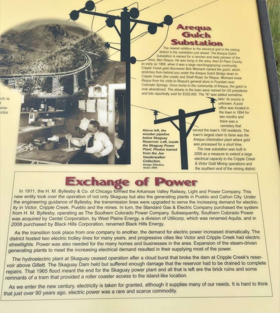
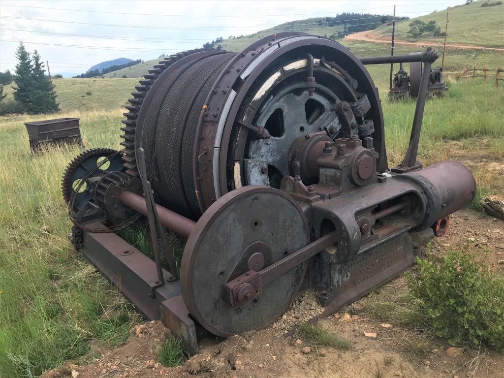
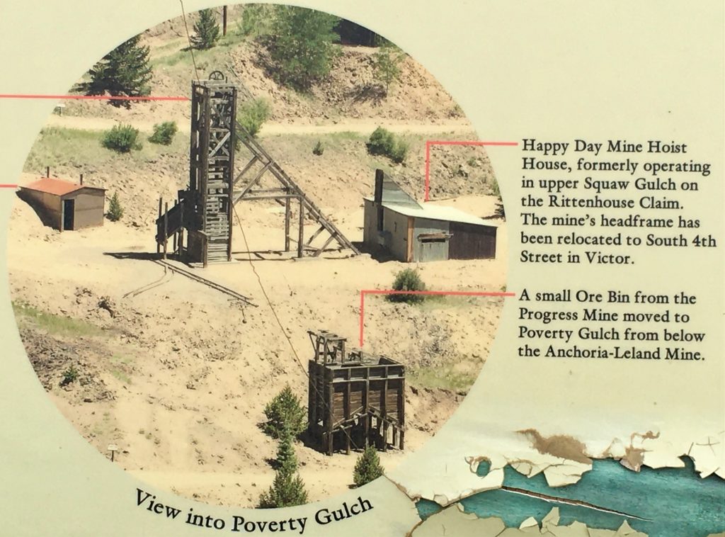
As we made our way from Victor to Cripple Creek, we stopped to read more mining information.
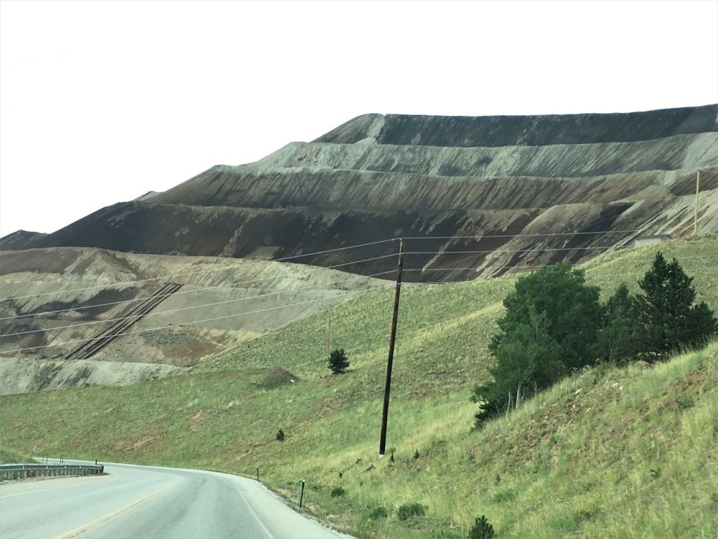
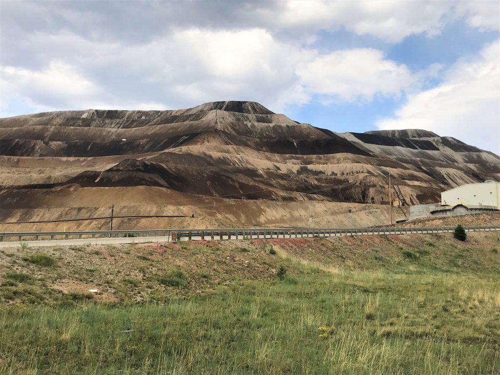
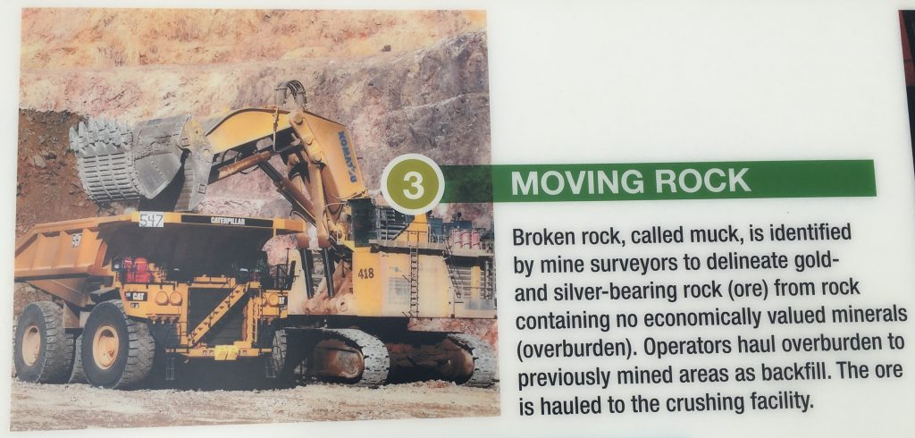
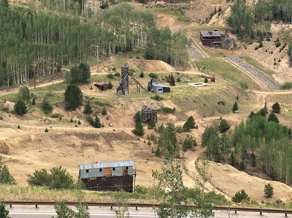
You can probably see other things too. It’s an active mine.

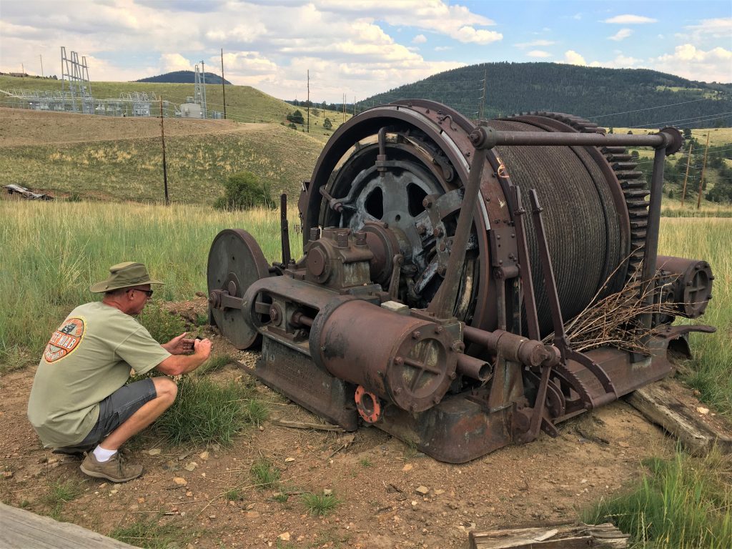
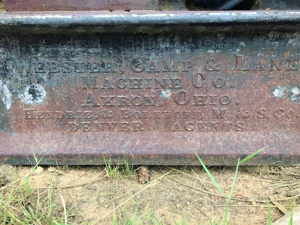
He said he’d never heard of the company.

We counted at least a half dozen as we drove down Main Street.
After looking it up, there are actually 10.
And it’s a small town!
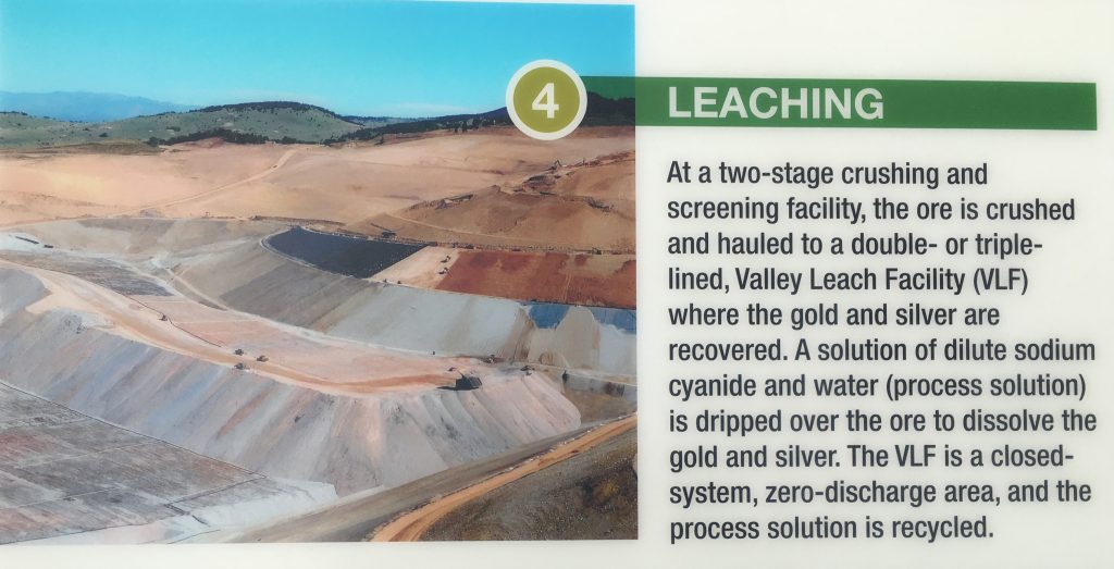
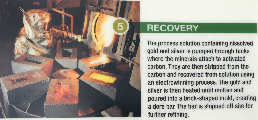
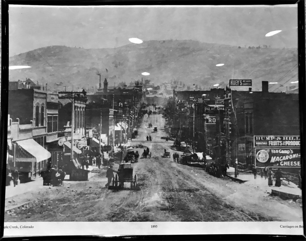
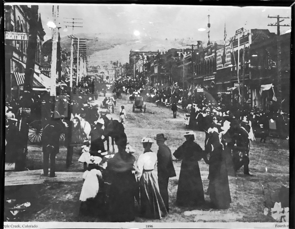
Compare this picture with the next one.
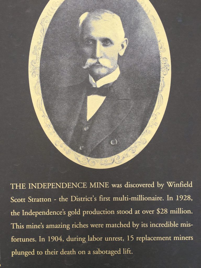
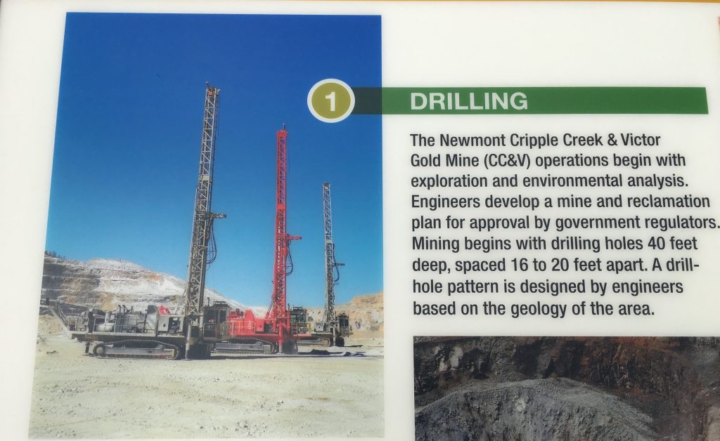
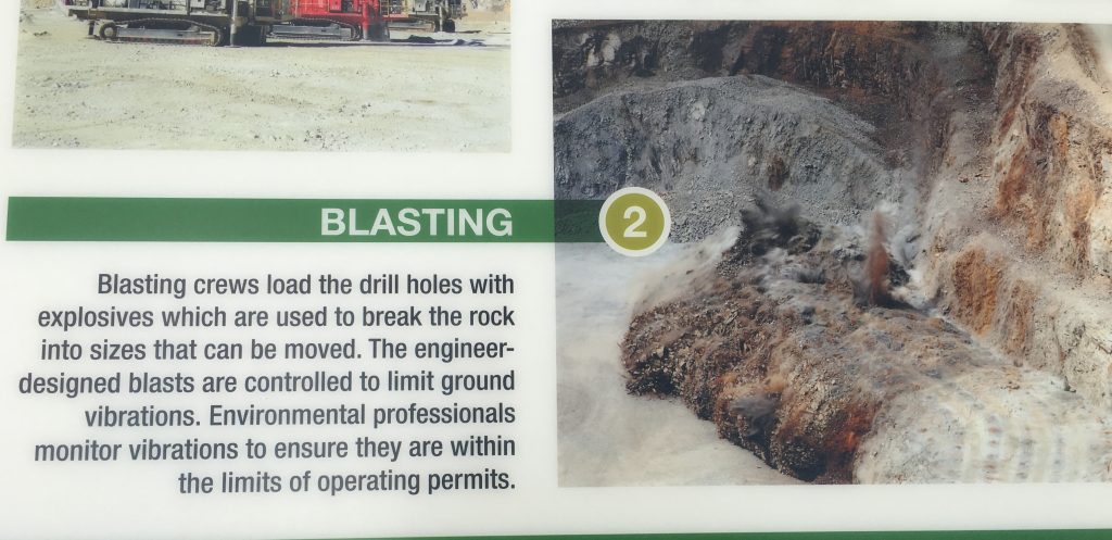
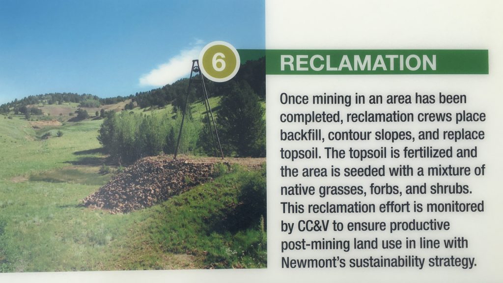
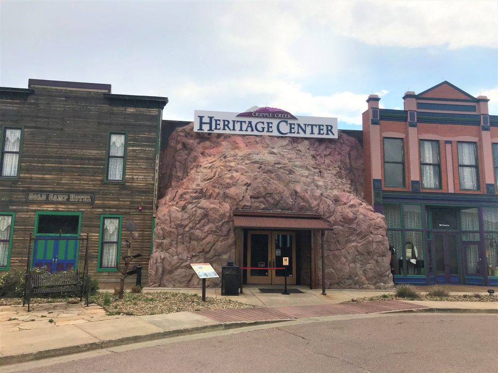
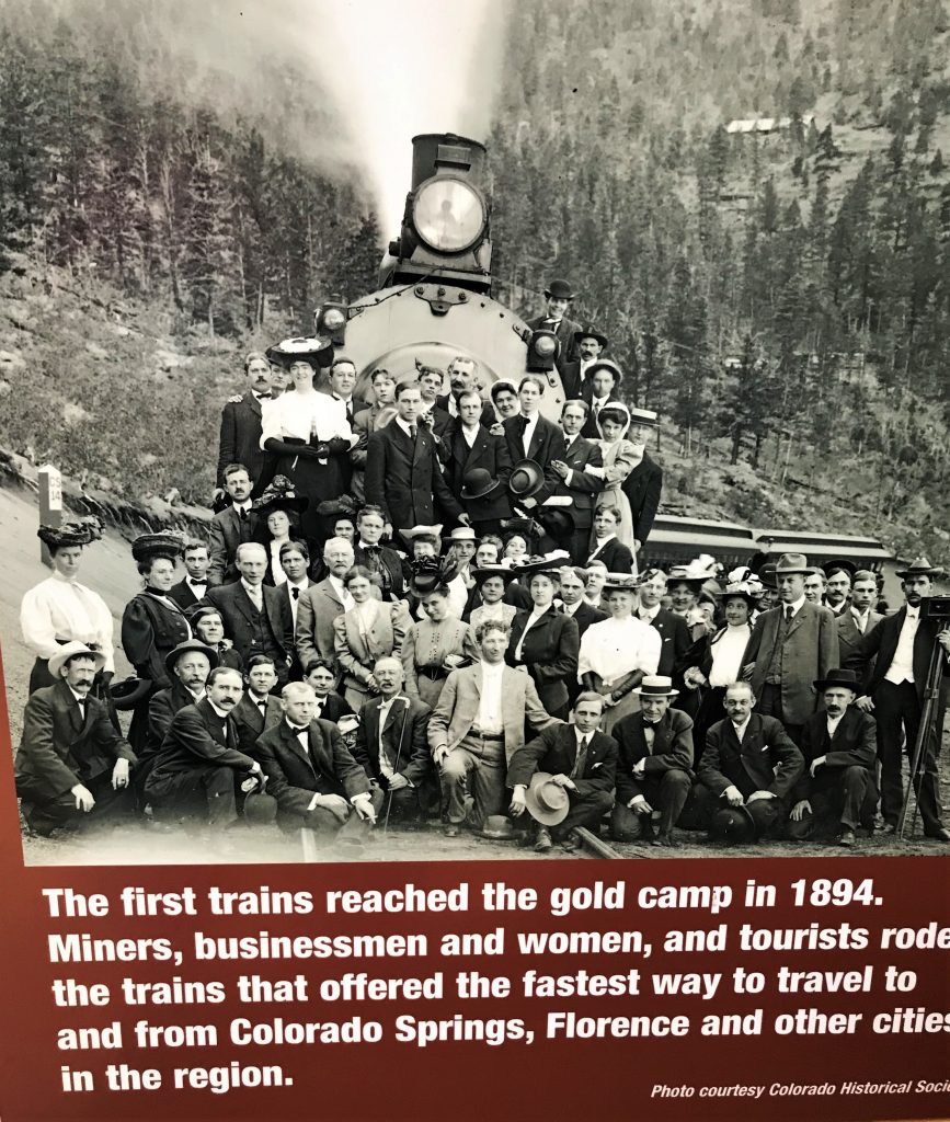
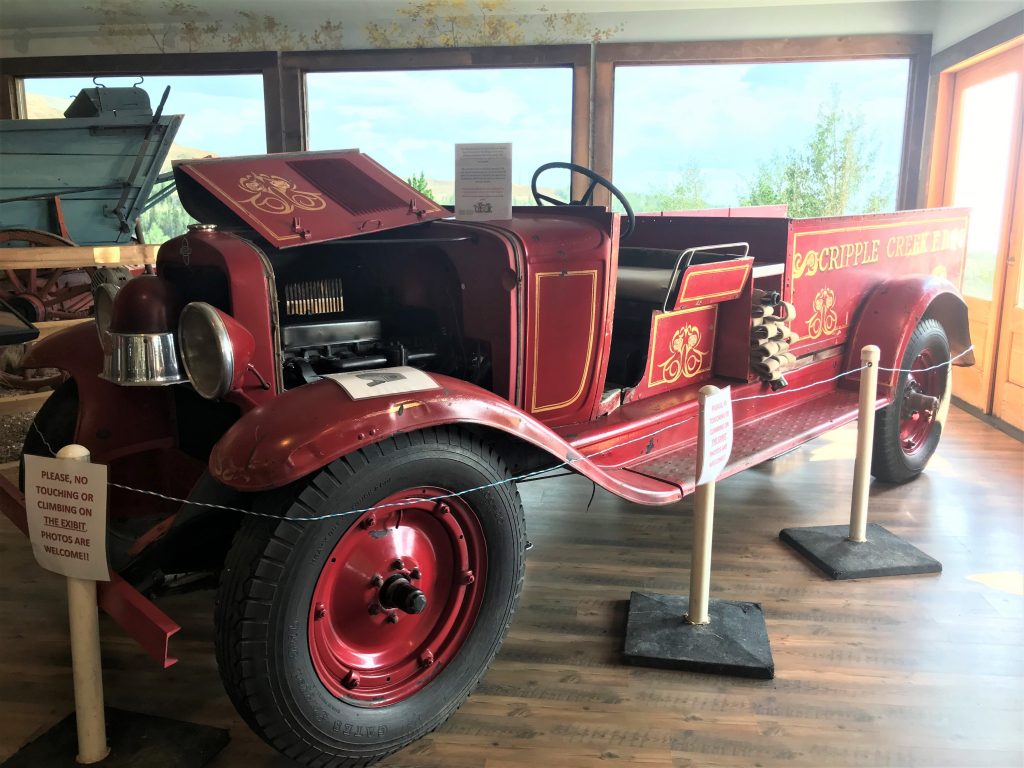
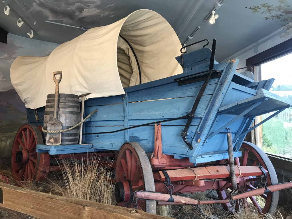
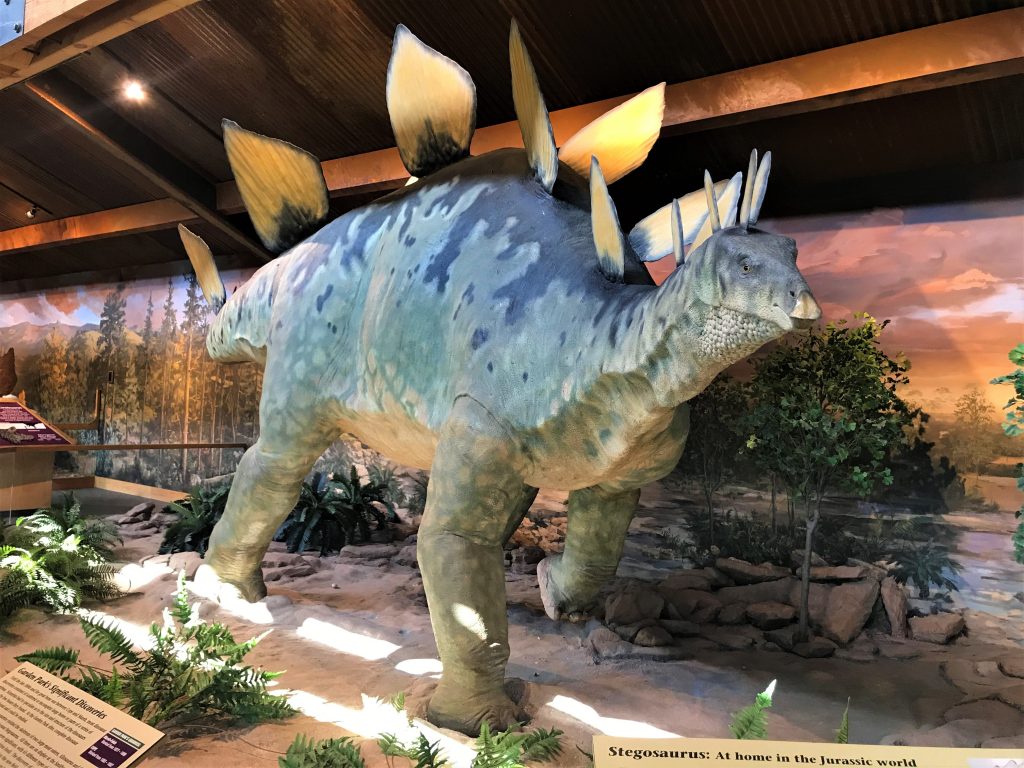
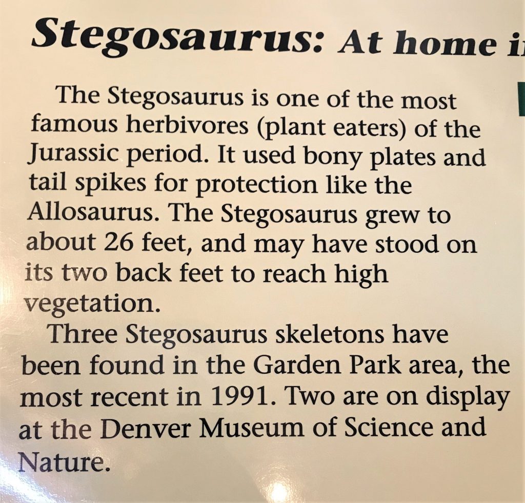
And then as we left town for our journey back home, we stumbled upon the Cripple Creek Heritage Center. It was free, and had three floors of mining information and town history. Very well done! And I tried to spare you taking pictures of everything. 😊
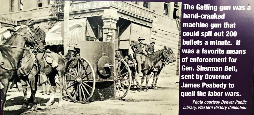
Seriously though? A Gatling Gun?
I guess that’d work pretty well to deter violence amongst the miners . . . .
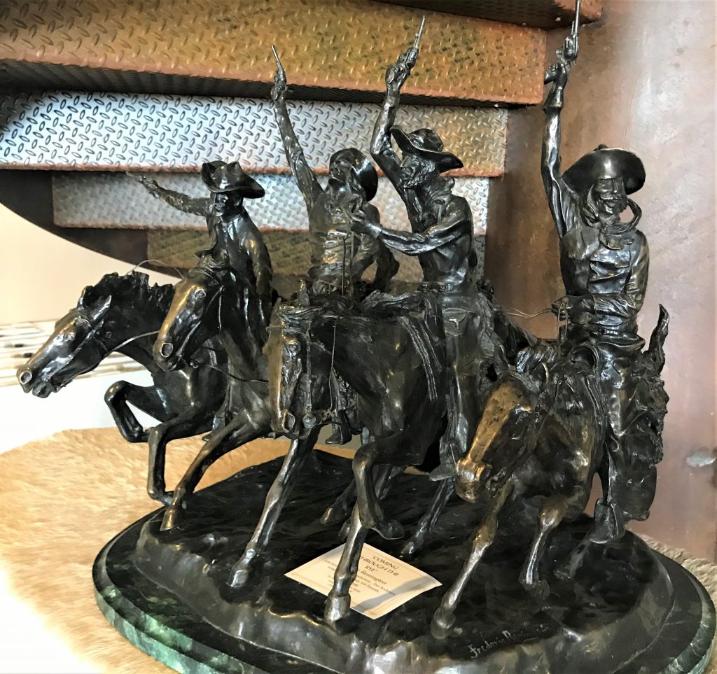
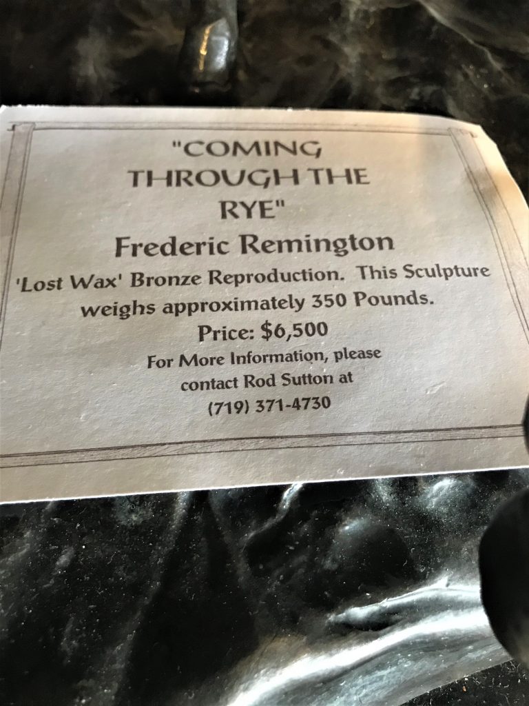
“That looks like a sculpture by . . . what’s his name . . . you know . . . the guy who does the western sculptures? We saw his sculptures in a museum in Boston.
And Blaine said, “Oh yeah! I remember those!”
We took the last picture about 4pm, and still had an hour drive to get back home. I believe this was the night we grabbed Arby’s for dinner and ate in a parking lot.