Indian Mountain State Park, Jellico, Tennessee

This is how our day began!
Goldfinch and bluebirds sitting in “our” tree.
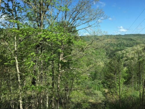
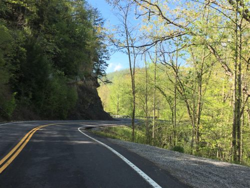
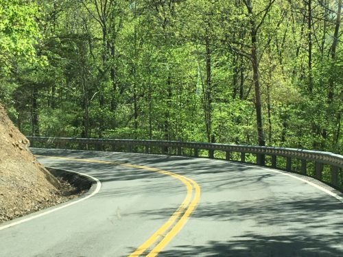
The hour drive to Cumberland Gap National Park over in Kentucky was an adventure in itself. A very scary one! We traversed a narrow, two-lane asphalted road that hugged mountains on one side, but dropped to sheer cliffs on the other. The other is where we started. Scary! Occasionally, there would be a guardrail, but not often.
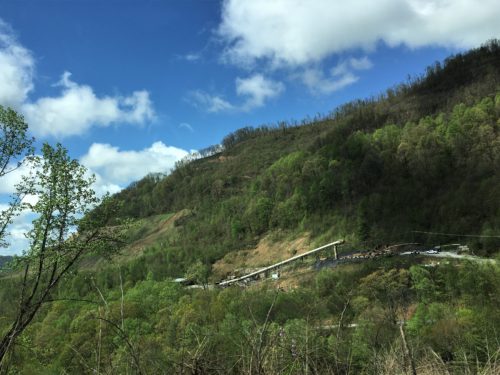
That’s the outside of a coal mine
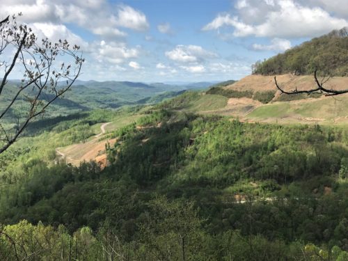
Another mining operation, and the road we were on below.
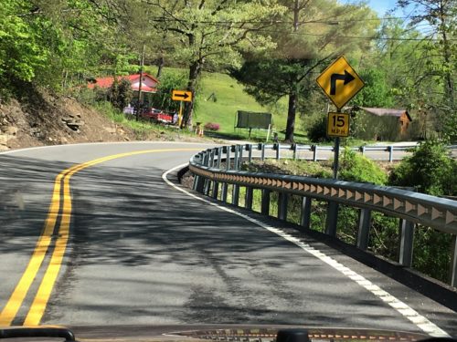
We also ran across some unusual road signs along the way. Things like “Caution Sweeper on Roadway”, “Break in Shoulder” and “Ambulance Entrance” (which we assumed was for the mining operation going on there).
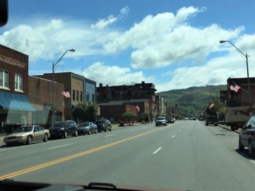
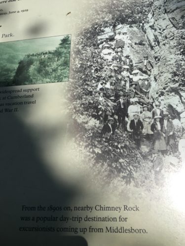
We passed through a small town named Middlesboro – – or – – Middlesborough, which is also the town Lee Majors (think Six Million Dollar Man) grew up in. I guess you get to choose the spelling you want in this town because signs and buildings used both.
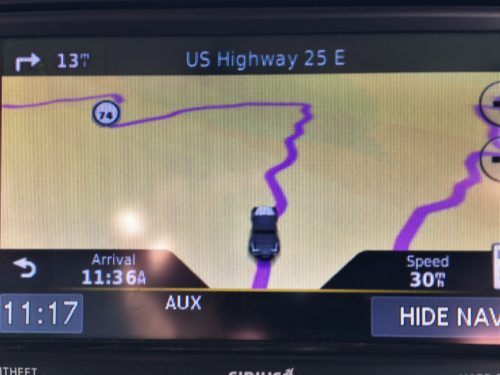
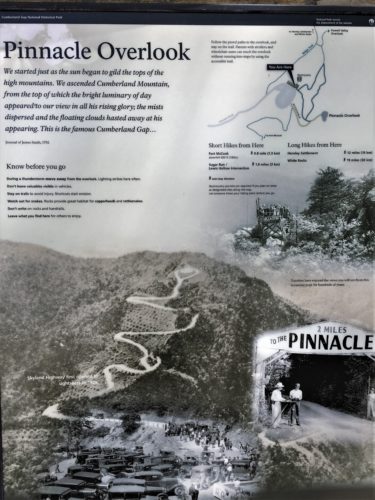
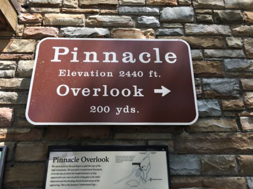
Our main purpose for going to the Park was to see The Pinnacle overlook, touted as a “not to be missed” attraction. You can drive or hike to the scenic overlook. It’s 2,440 elevation made our decision easy. We drove.
But not yet.
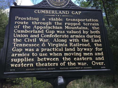
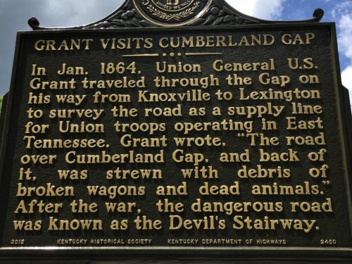
First, we stopped at the Visitor Center where Blaine gathered information and maps and we took in their informational movie before heading out. They talked a lot about Daniel Boone’s life-long desire and personal losses (two sons) to achieve his dream of conquering The Gap. But the thing that sticks in my mind the most (probably because it was so surprising!) was the fact that Abraham Lincoln’s grandfather was one of those 300,000 people who followed Daniel Boone through The Gap.

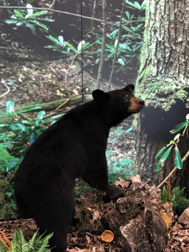
A bear!!!! A real, honest to goodness black bear!
Too bad it was inside the Visitor Center. Permanently.
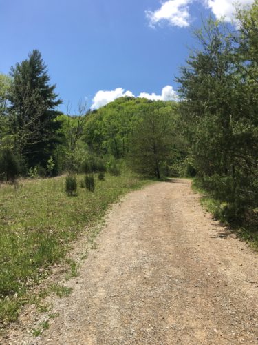
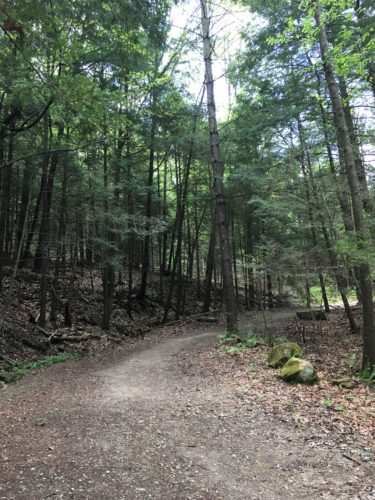
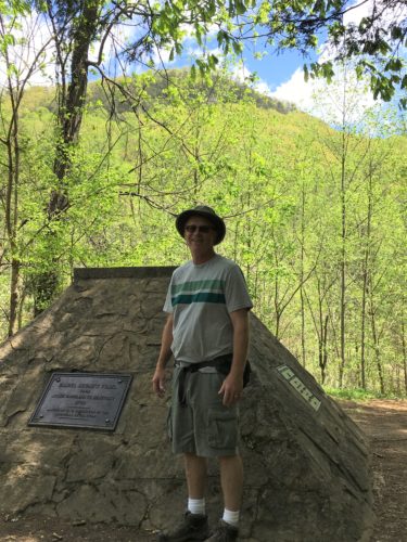
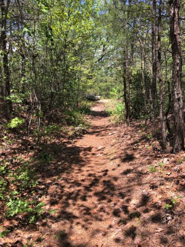
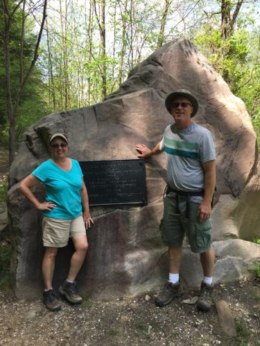
Now that we’re oriented, we hiked to check out the Park’s namesake – the Cumberland Gap.
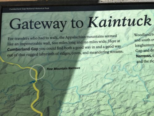
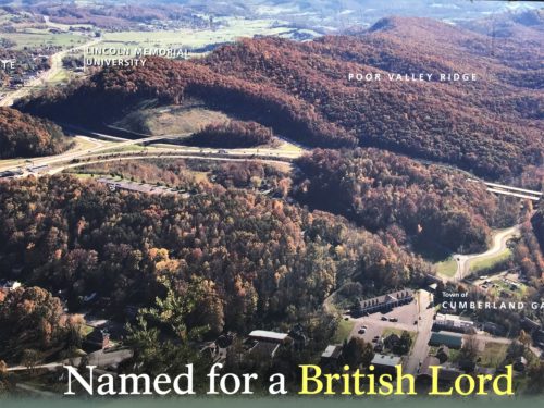
What exactly is the Cumberland Gap?
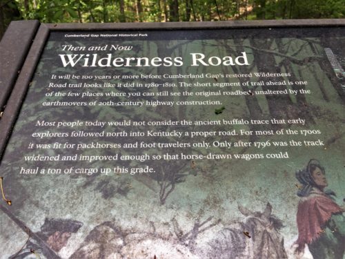
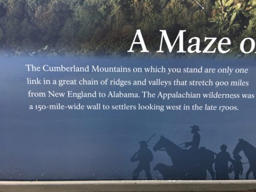
It’s a passage through the mountains. Signage will tell you that this is a really big deal, as the average height of the Appalachians is 3,000 feet, with the tallest being over 6,000. It was used first by animals (including buffalo at one time! Yes! Buffalo! In Tennessee! We had no idea!), then Indians, and of course, Daniel Boone, as a means to get to the west side of the Appalachian Mountains and into the uncharted wilderness.
Well, let’s go check it out!

According to the film, this guy was actually first, he just didn’t go as far as Boone.
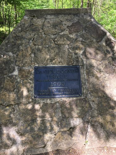
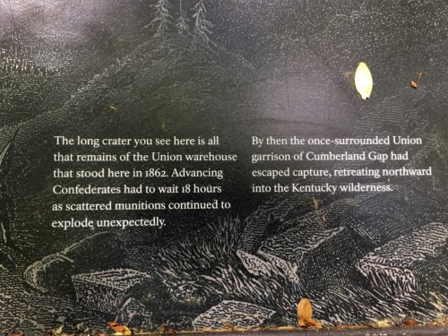
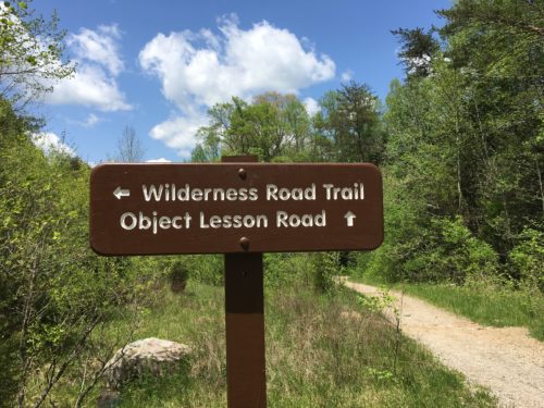
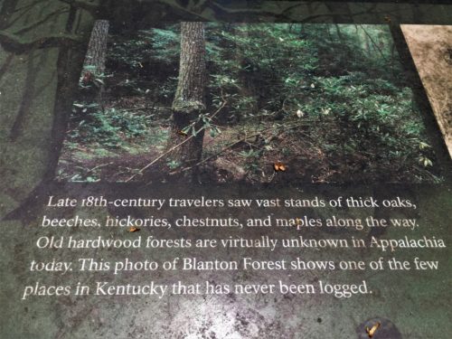
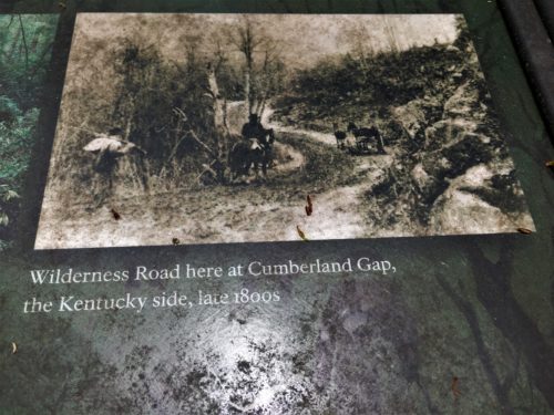
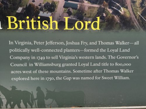
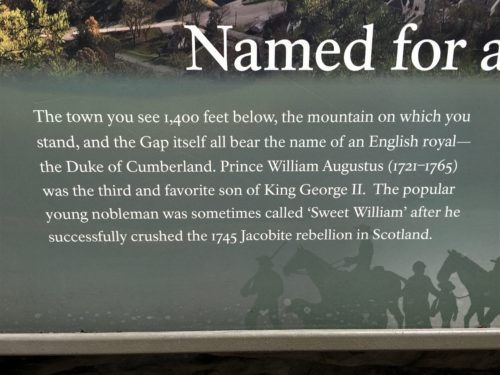
Sorry. I cut off part of the sign, but I think you’ll get the gist.
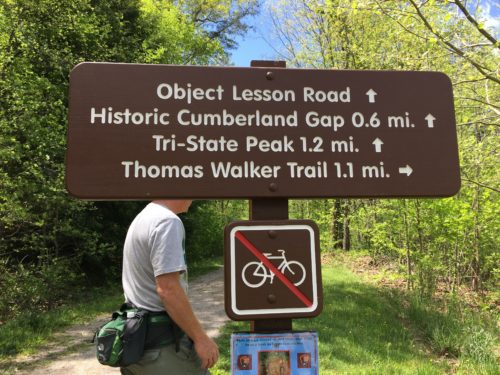
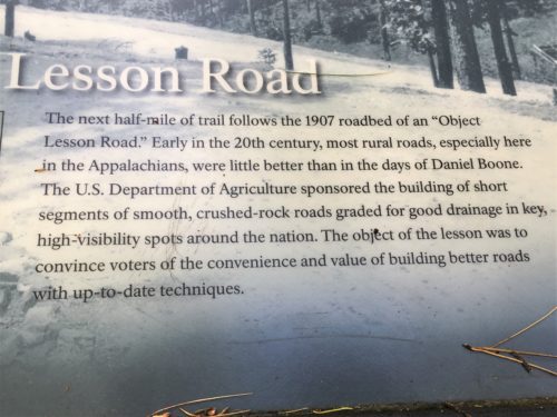

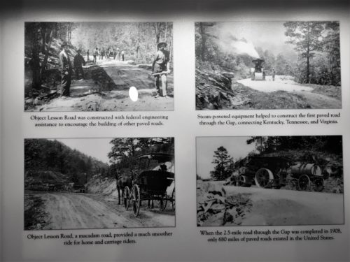
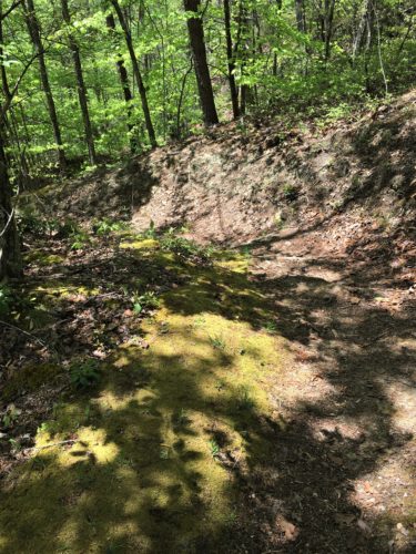
The Object Lesson Road
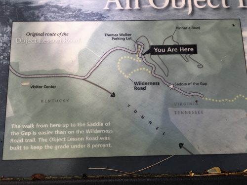
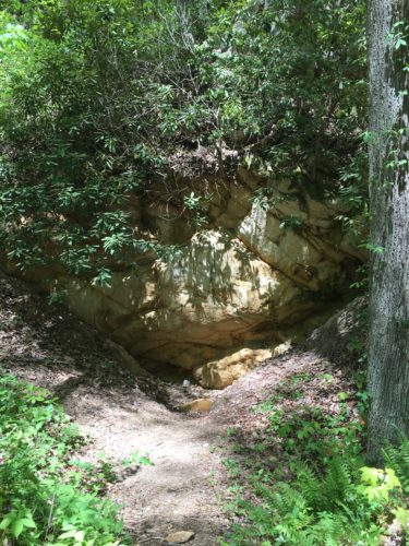
This is it.
This is all you get.
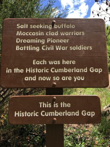
A sign on the trail we were on.
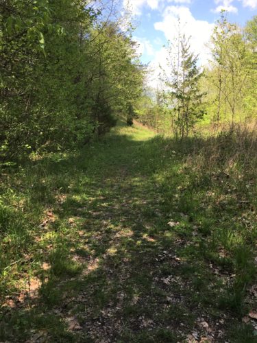
And come to find out that neither of us even took a picture of the view from the trail!
I don’t know what I was expecting. A big flashing neon sign with arrows? Whatever it was, my expectations weren’t met. I was underwhelmed. Blaine said, “I can see it now. This is going to be a negative blog post.”
It’s not negative. I guess I just don’t understand all the hoop-la over The Gap. Maybe if I lived here 200 years ago . . . before there were roads, or airplanes, or even wagon trains. When most people had to get from one side to the other on foot, through the wilderness. Maybe, just maybe, then I’d get it. And be excited. 😊
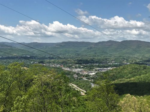
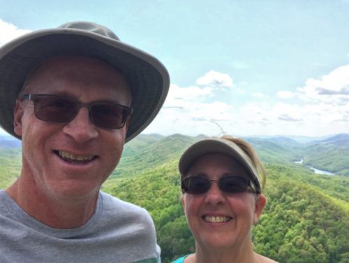
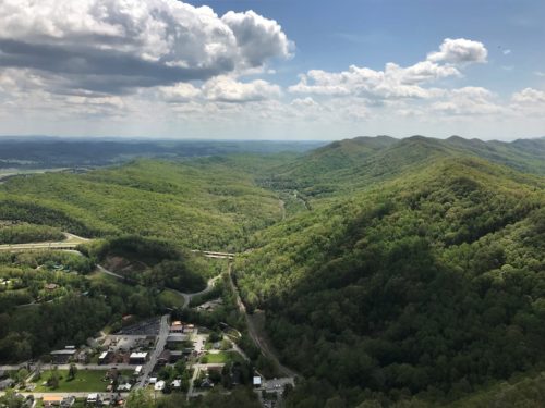
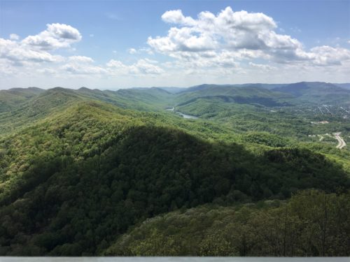
Now the Pinnacle. That’s another story entirely! Whoa!
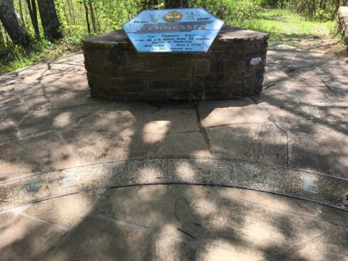
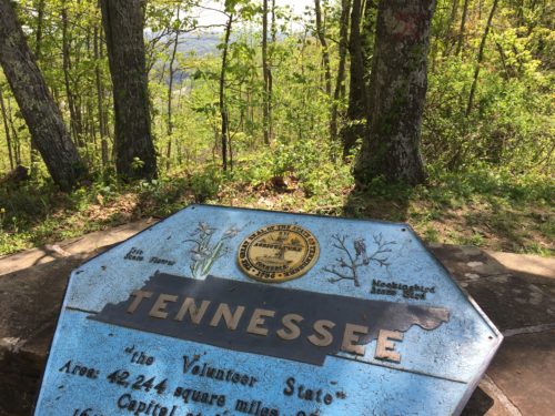
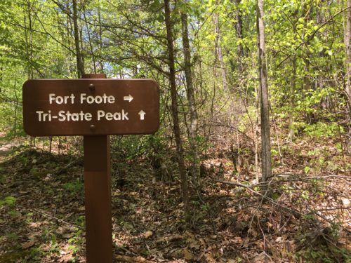
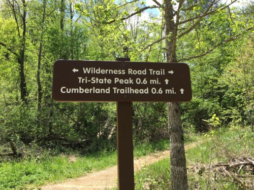
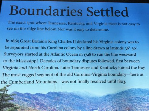
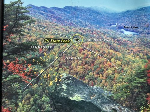
But first, we’re going to check out the tri-state point, where Tennessee, Virginia and Kentucky all meet.


We’re here!
Standing in three states at once!
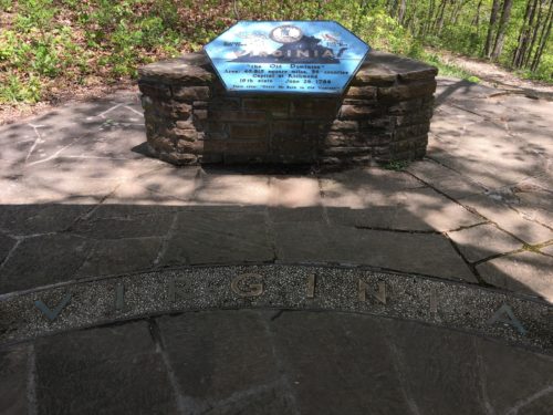
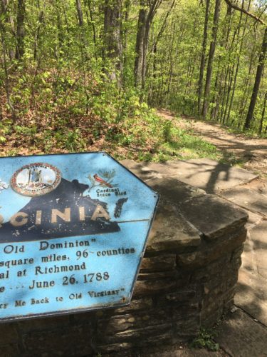
That’s Virginia over there.


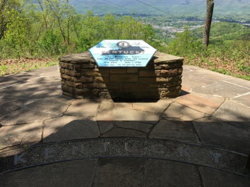

Kentucky
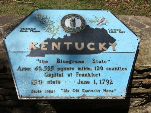
That was pretty cool! But only Kentucky had the view. We ate lunch here. Sitting on the wall they made for the Kentucky sign. We felt a little bit bad about kinda being in the way of people’s pictures, but there was no place else. We didn’t take long.
As we were leaving, a couple just arriving warned us about a large snake in the trail. We looked, but we never saw it. I imagine it was long gone.

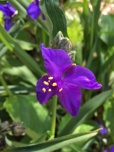
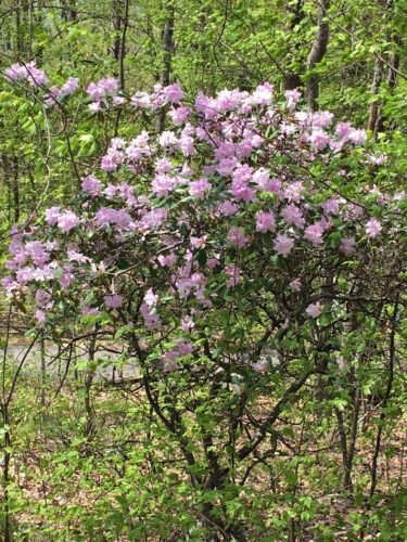
Mountain Laurel getting ready to bloom.

We came across a side trail to Fort Foote. Thinking there’d be something there, we headed up – yes, up. Steep up. To find . . . .
Nothing. Not even a view. Sigh!
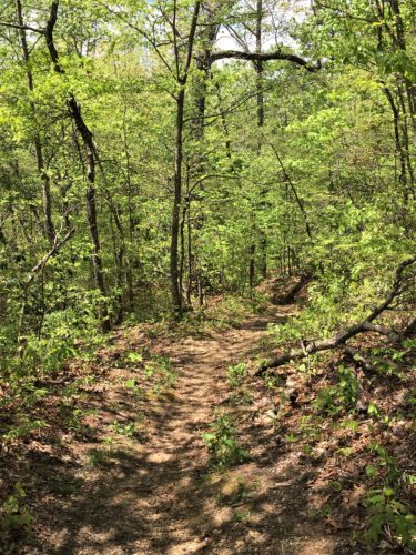
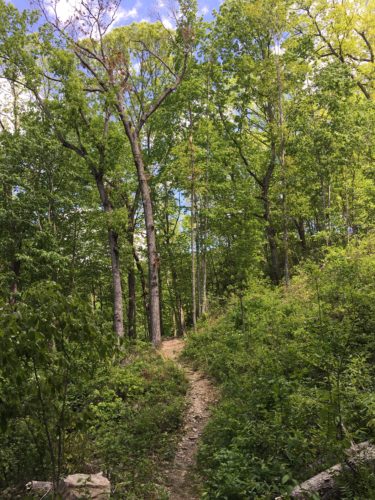
Back to the Jeep via the Wilderness Road Trail.


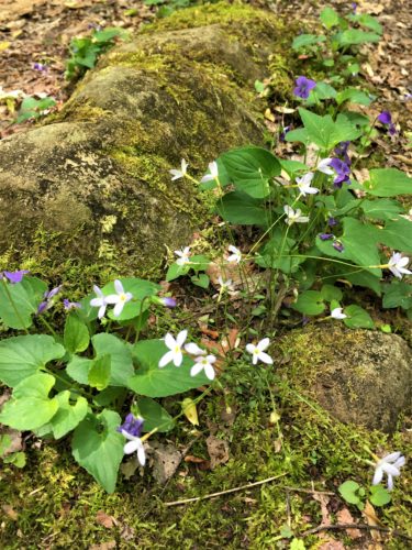

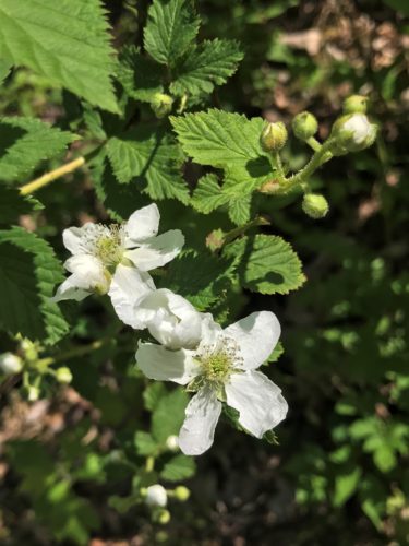


These little flowers had a waxy look to them.
Interesting!

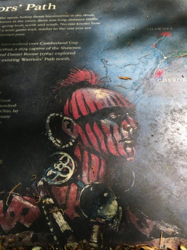
Sign boards in the parking lot.
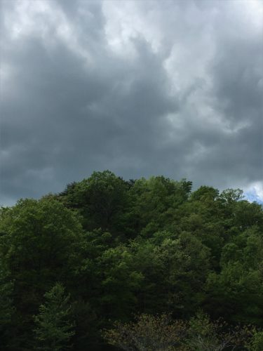
Where’d that dark cloud come from?
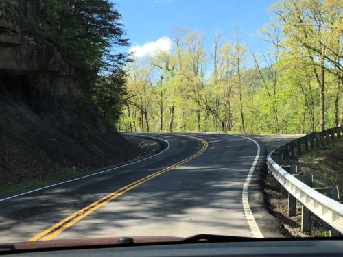
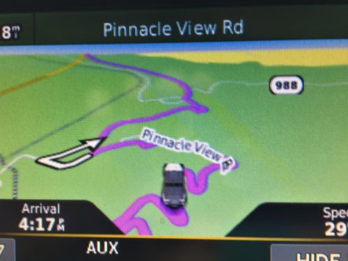
Time to drive to The Pinnacle, on another narrow, winding road. Beautiful place! And of course, since you can drive to it, we found all the tourists when we arrived. 😊
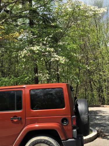
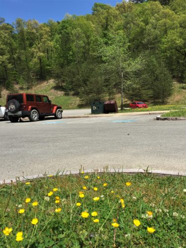
The Pinnacle parking lot.
I never saw anything about why Kentucky’s spelled like this.


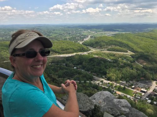
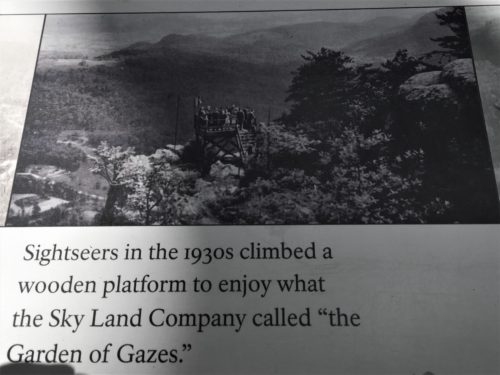
See! Like I said! Whoa!!


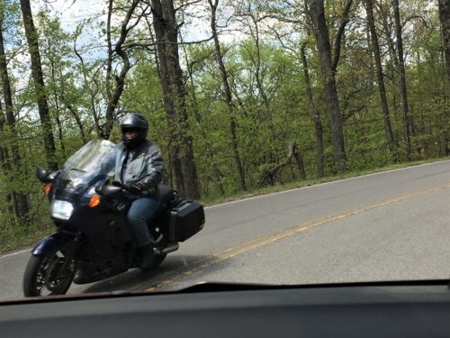
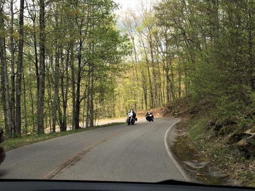
As we descended the mountain, there was a very large group of motorcycles heading for the top. A few of which decided their side of the road wasn’t big enough for them. Not only were they across the double yellow line, but they made gestures at us, like it was our fault they came around those corners face-to-face with a big copper-colored Jeep!
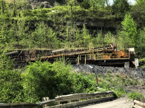
There’s the coal mine again.
Whew!
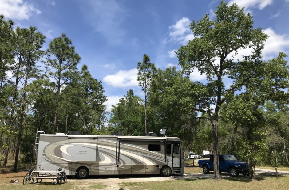
We made it home safely! And we have new neighbors!
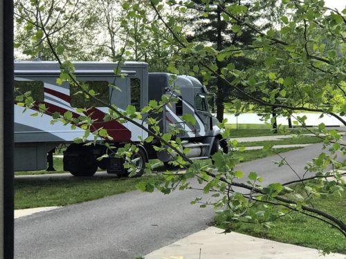
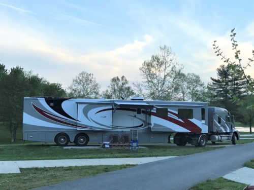
That’s quite a rig! I discovered they’re custom built, but no prices.
No taps tonight. We came home to an empty space where he’d been. Guess he moved on to bless someone else.