Brantley Lake State Park, Carlsbad, New Mexico
Gold there is, and rubies in abundance, but lips that speak knowledge are a rare jewel. ~ Proverbs 20:15
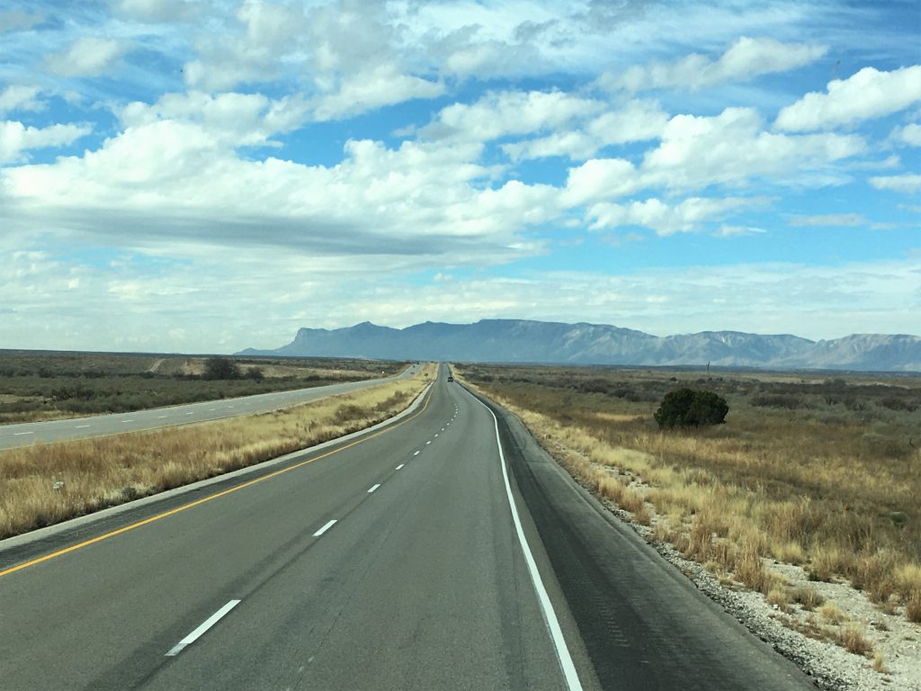
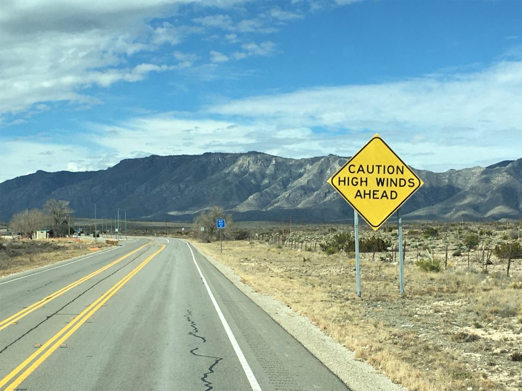
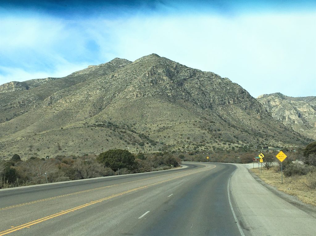
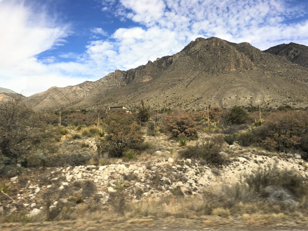
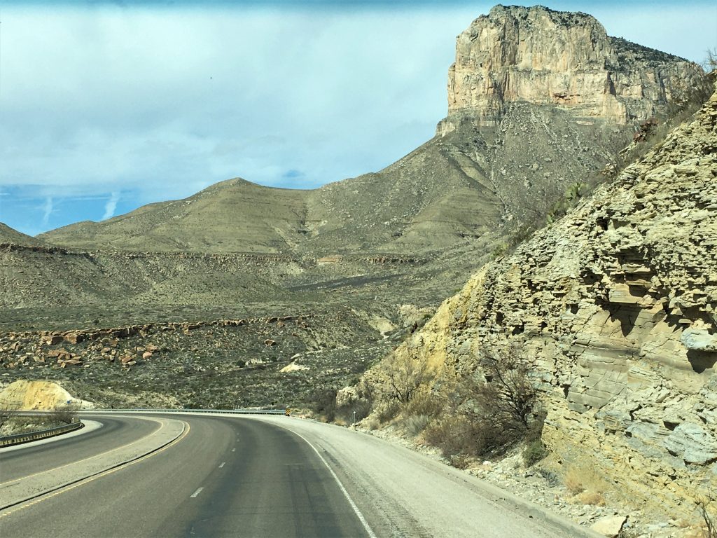
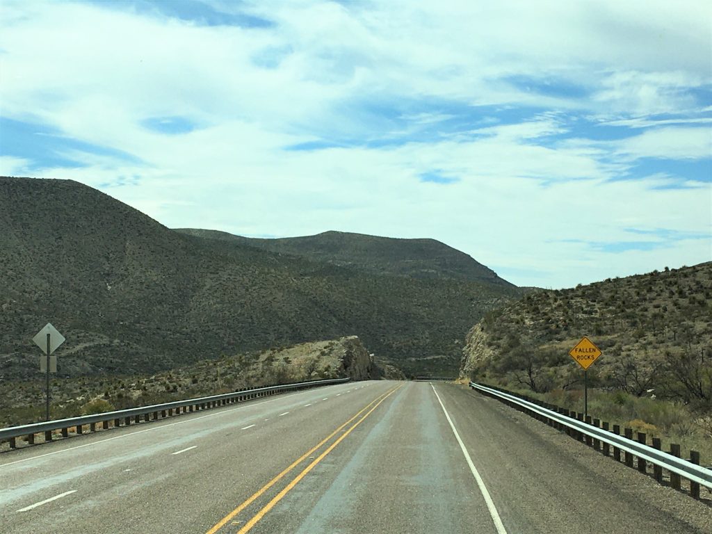
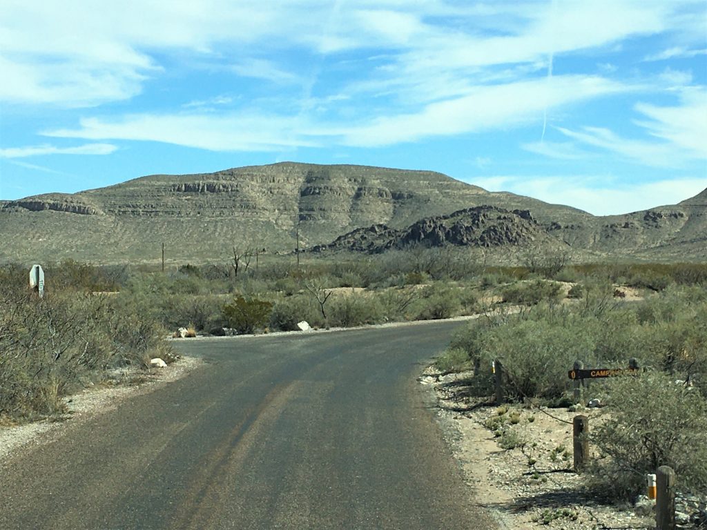
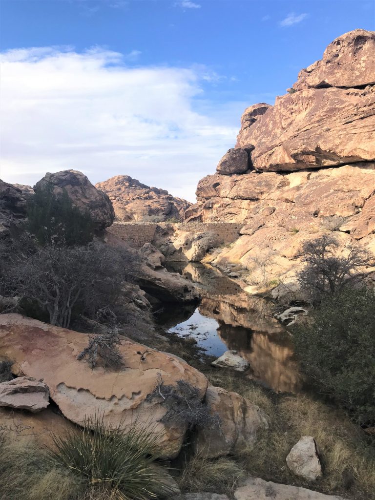
We said ‘good-bye’ to New Mexico this morning and 4 ½ hours and 166 miles later, ‘hello’ to Texas once again. There were some lovely sights along the way! Including and most especially, our drive through the Guadeloupe Mountains!
On one picture today, the mountains are 7 miles away according to the gps! And we saw three antelope-type animals at various places along the way. No pictures though. Sorry.


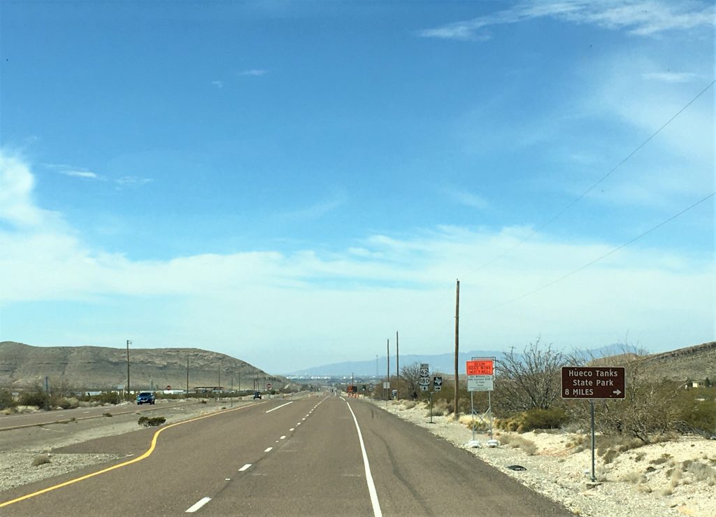


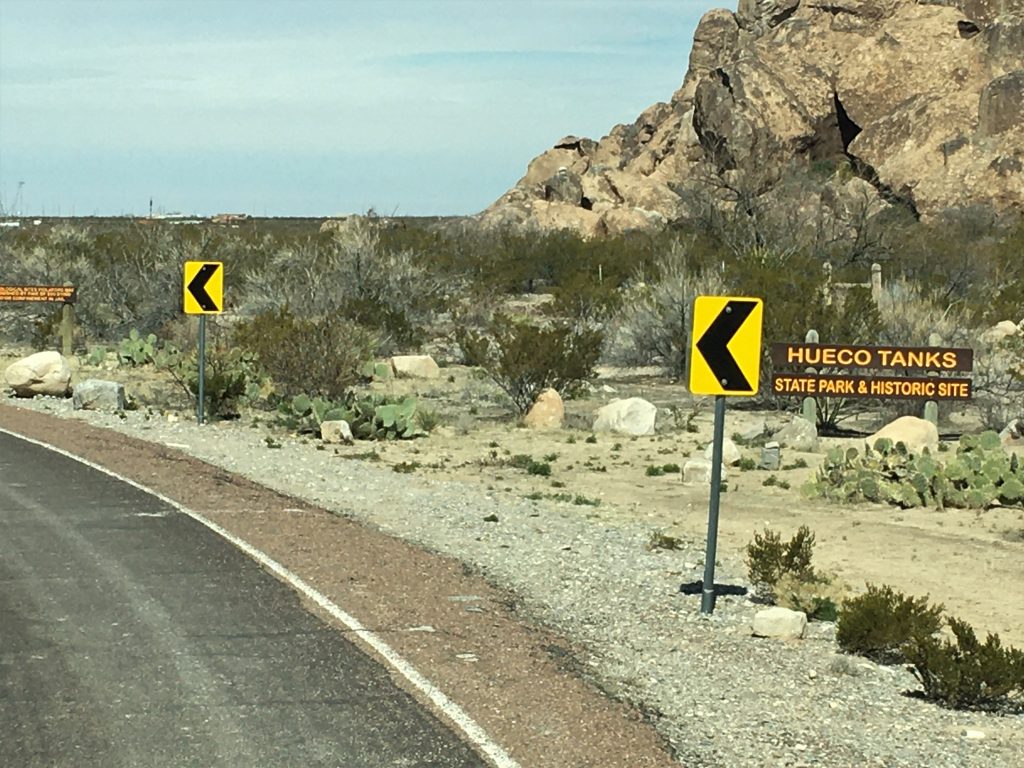
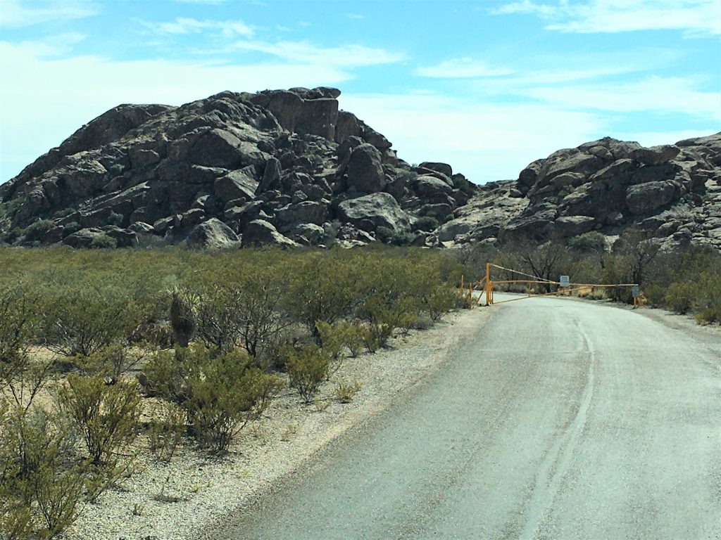
Hueco Tanks State Park and Historic Site, El Paso, Texas

That’s why the blue dot is there. We’re headed for our next destination. : )
Blaine discovered this very special place called Hueco Tanks (pronounced ‘WAY-co) and was able to make our reservations well in advance. It’s a good thing, because there are only 20 sites here. There are also a lot of rules. However, we believe that rules are in place for a reason, and while we have – – – on occasion – – – broken ‘boundary’ rules at times when we’re hiking, we’ve never done anything that jeopardizes anything but ourselves.
We were met at the entrance by a Park Ranger, who asked who we were, what we wanted and then radioed “Headquarters” to make sure we were allowed in. As this was going on, we noticed quite a few cars lining both sides of the road – with people in them.


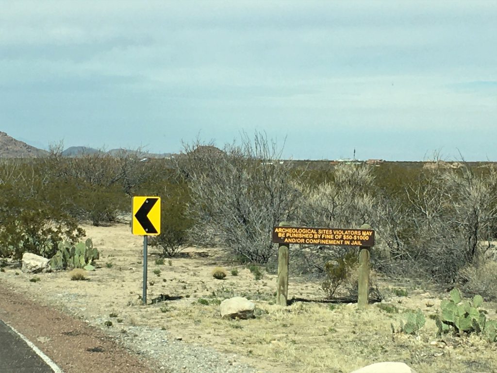
The Park only allows 70 people in at a time. So all those people? They were waiting for someone to leave so they could enter – – like at a busy restaurant when you wait for a table. Those in the Park are to let Headquarters know they’re leaving so others can come in.
We moved on a mile or so, to the check-in point – Headquarters – where we parked and entered the building. There, we produced ID, answered questions, listened to some rules, and filled out paperwork – with a pencil, which was kinda strange 😊. We were given cards to carry around with us at all times, and a copy of the form, which we are also to produce upon request. Then we were given IDs to put in the windows of our Jeep and RV (this is normal and occurs at most places we’ve visited).

And we were sent on our way to the next stop – an introductory video and orientation talk – – all before we even entered the campground. These people communicate with each other at every step, because as we drove up, a Ranger was there to meet us and tell us where to park our monster and attached toad.
About 30 minutes later, our heads filled with knowledge and rules that we may or may not remember, we were on our way to our campsite. On the way into the campground, Blaine had to stop, so I could get out and open the gate. If you’re a bit confused right now, imagine how we felt. 😊


just passed our site, as I wait to direct him in.
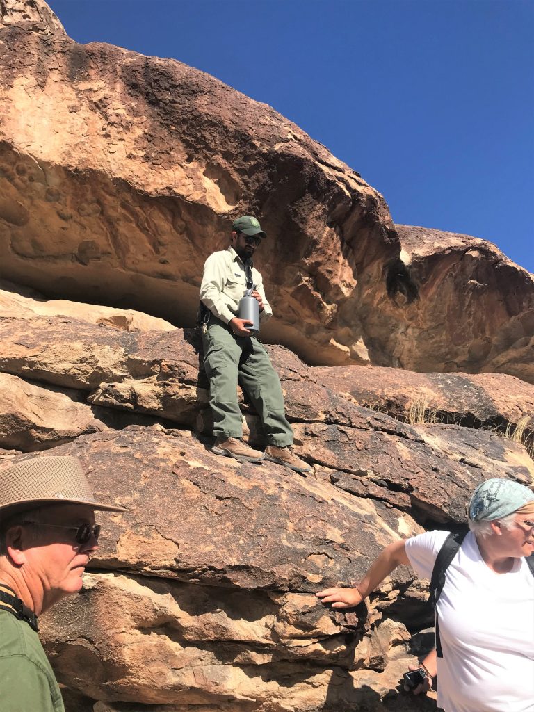
Along with our camping reservations – which was another rule; no more than three nights – came automatic Park admittance reservations. And we had a 3-hour guided tour, which Blaine added to our time here ($2/person!). The guided tour was scheduled for 2pm today, so we had to rush to get through a bare necessities set up, grab a quick bite and head back out to meet our tour guide, Carlos, who also happened to be the Ranger who did our orientation. And yes, I had to open and close the gate again. 😊


This is an old ranch home that was built in 1898. They now use it as the park orientation building.
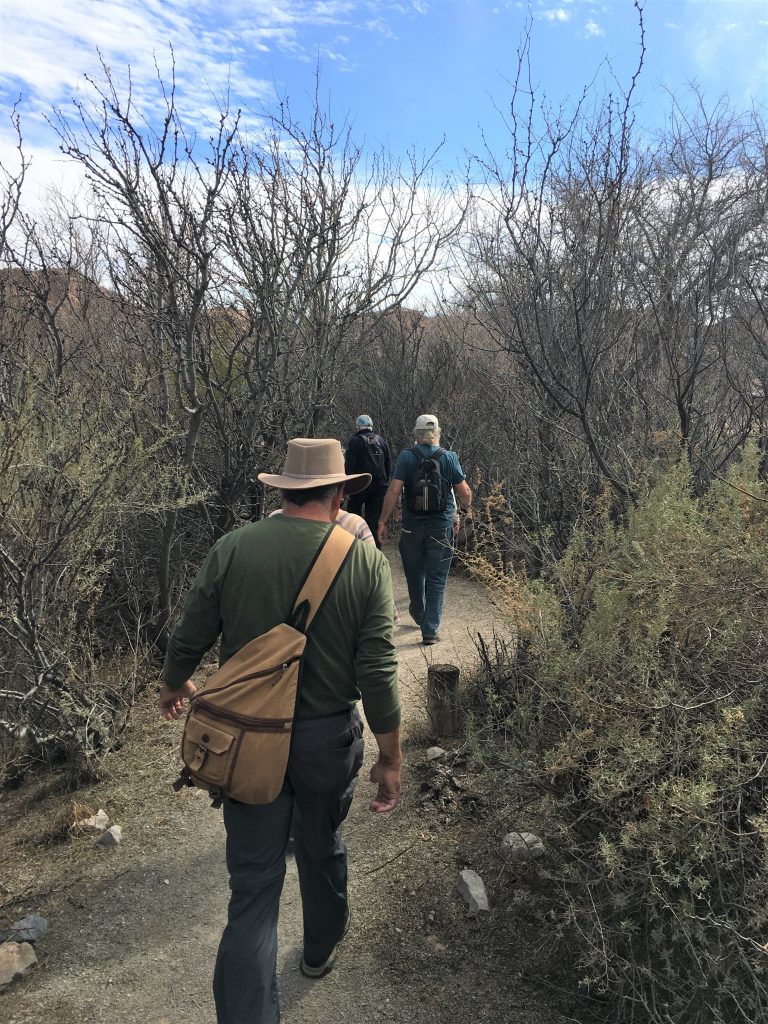
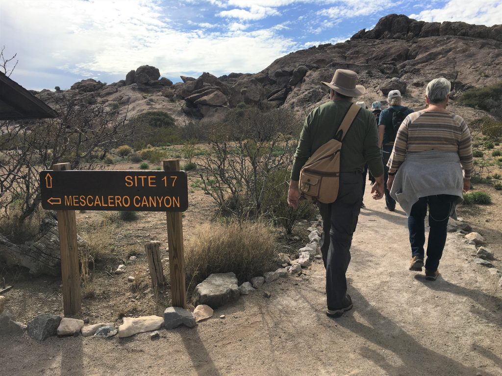
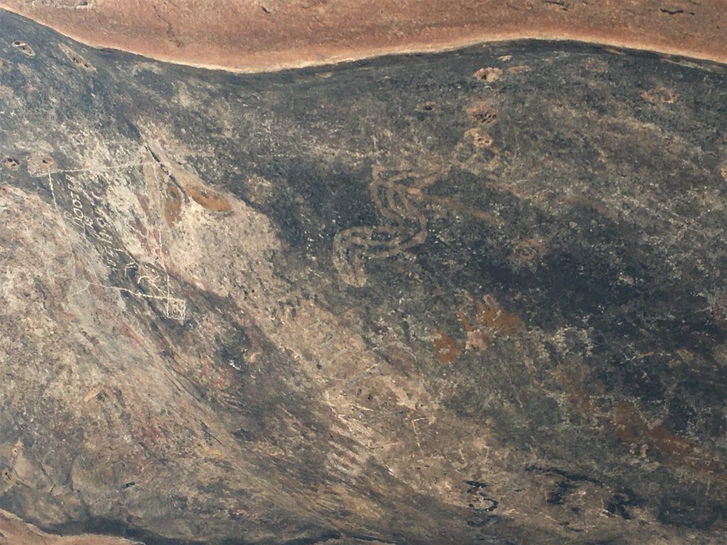
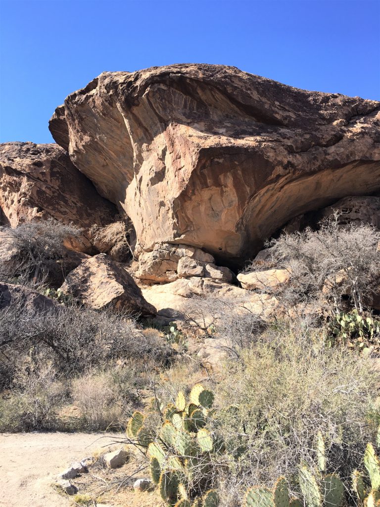
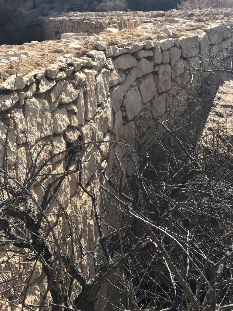
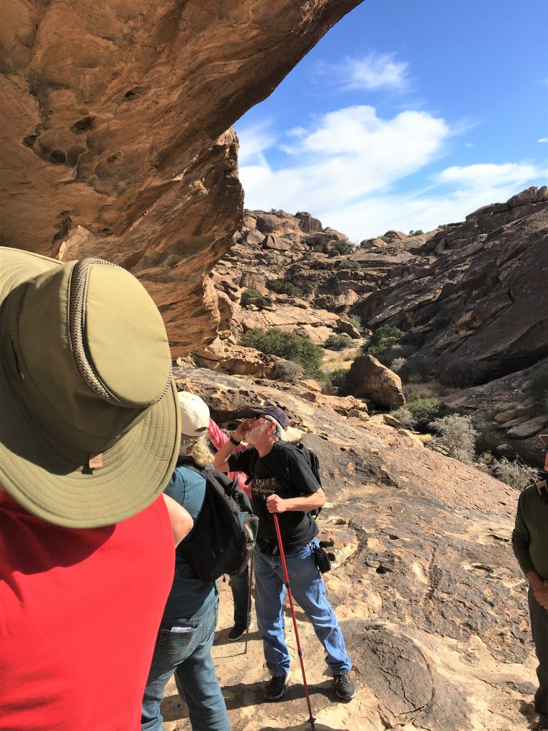
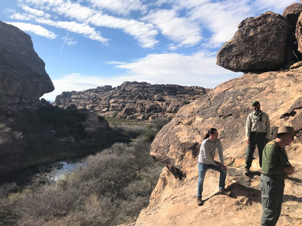
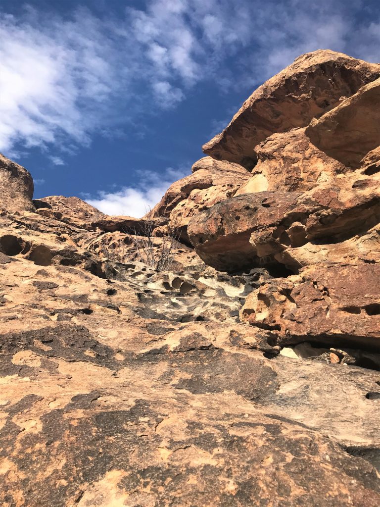
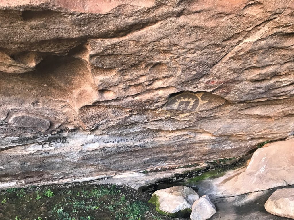
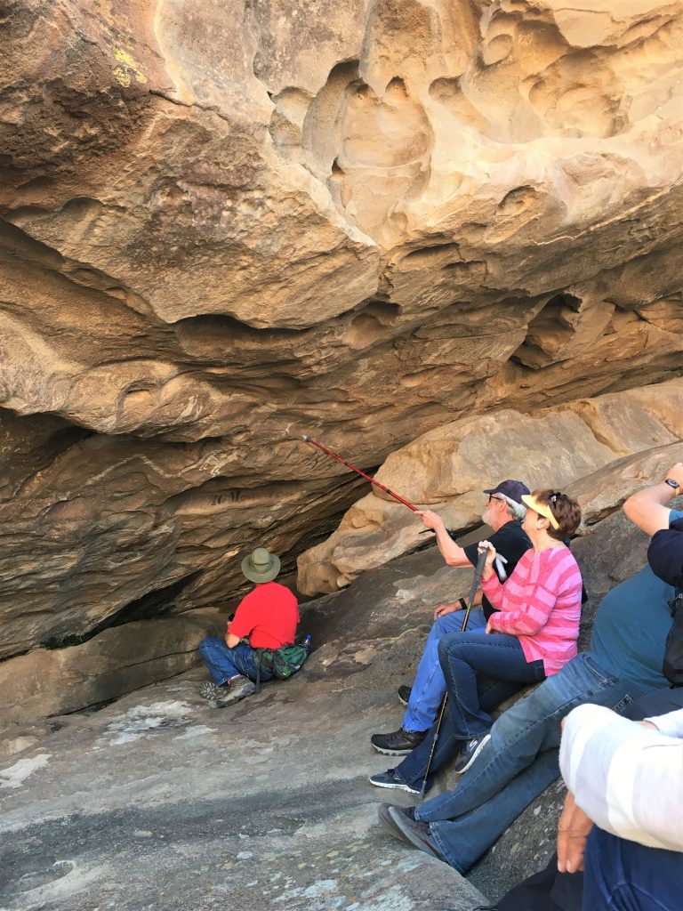
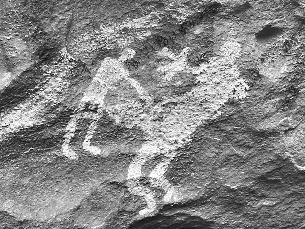
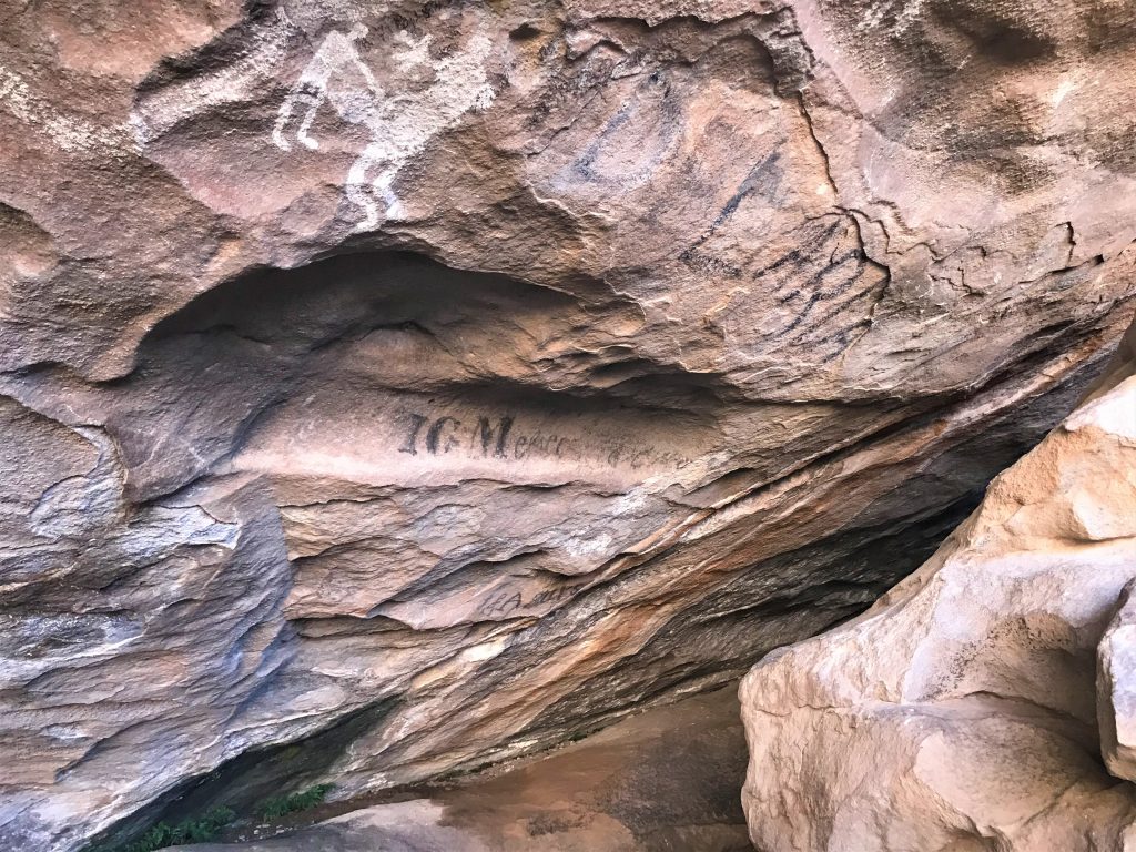
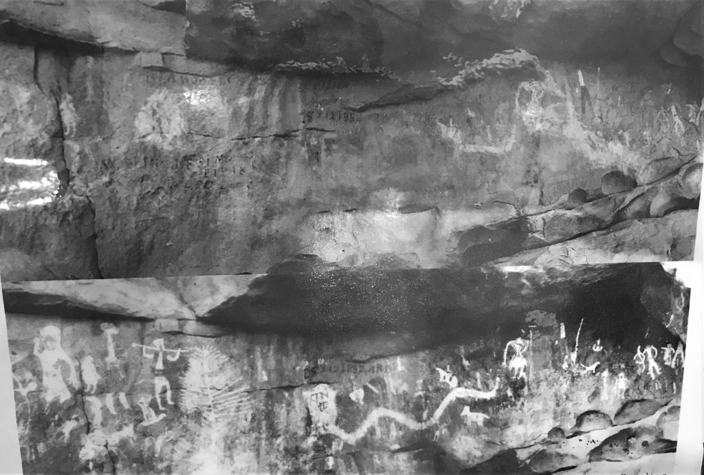
The guided tour was wonderful, but waaaay more physical than we’d anticipated. And more than any of the other 12 people who joined us anticipated. We’d been told, and shown on a relief map, that we’d have to climb about 20’ to the top of the side of a dam and then walk on to a cave to see ancient pictographs (pictographs = painted pictures as opposed to engraved ones. Remember? Like painting pictures). Well, the climb up was a slanted piece of rock with nothing to hold on to, a rock scramble to get up to see some other pictographs (where Blaine leant a helping hand up to almost everyone), and then more rock scrambles to get to the ‘cave’ area which was our final destination.


Look how people from the late 1800s/early 1900s decimated the ancient drawings! What a shame!


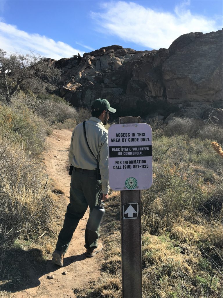
We now enter the private area that’s only accessable by authorized Park guides.


Sure glad we wore our hiking boots!

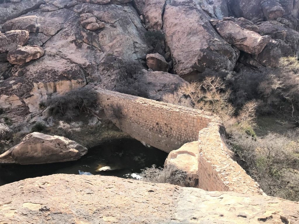
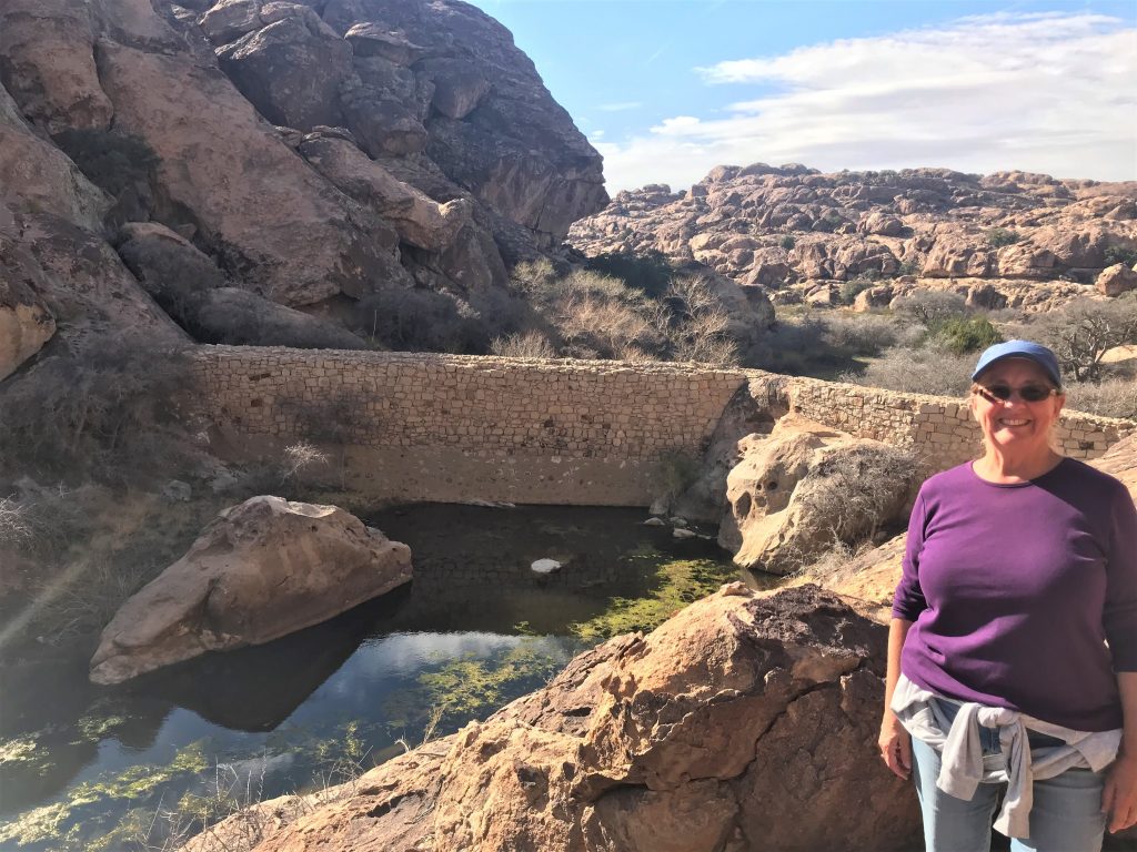
We had to climb up to the top, and then over the rocks beside it.


It’s like a team building exercise. lol


The lady on my right, is French Canadian.
The one on my left, is Pennsylvanian. : )
This is the area Blaine had to hoist everyone up to. My hero!!
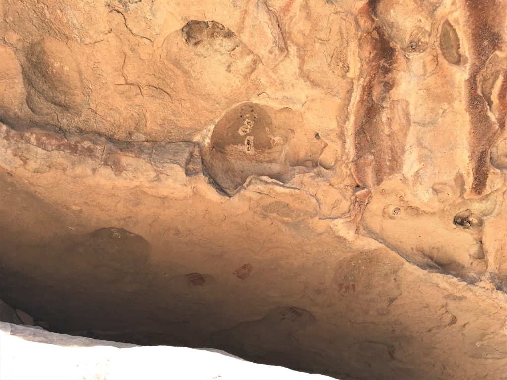
You can just make out the red shades near the bottom of the picture.


He and his (wife?) are retired at age 44 and have travel all over the world. We never got the opportunity to ask him what he did for a living. He also told us that he’s afraid of heights and being on the edge of things. Doesn’t look too scared to me . . .


We’re headed over to that huge rock in the background.


The lady with the dark glasses seems to have asthma, as I saw her using an inhaler several times.
The couple on the end had a lot of trouble walking.


It’s currently in dispute, because both use it for their casinos, etc.


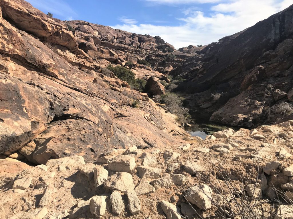
with mineral deposits along the edge.


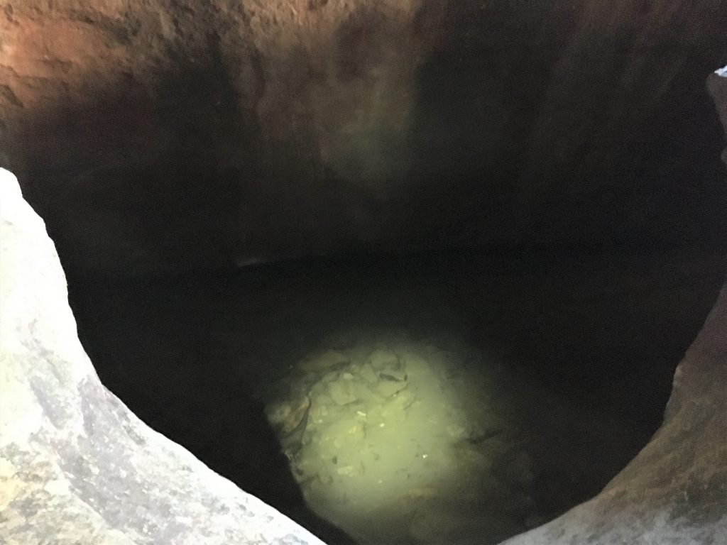
It’s pretty far down, so I don’t know how they were supposed to get water from there.
Maybe the water level was higher then. . . .


Then we had to go back.


A little more adventure than most were accustomed to, but it was fun for us, and it gave us the opportunity to talk with everyone in the group at some point, because of the ‘bonding’ opportunities and the fact that it was a 3-hour tour. And we didn’t even end up washed up on a deserted, unknown island! 😊
Everyone made it back safe and sound (considering the age of the group, that’s a great statement!), so it was a spectacular tour overall!

and have his and hers motorhomes.
Wonder what the story is there??
We got back home before our 6pm curfew, and had to finish our set up (or at least my part – the cleaning), and dinner was leftover white chicken chili and grilled ham, turkey and cheese sandwiches (the meat courtesy of our visiting friends from last week. Thanks, B&J!