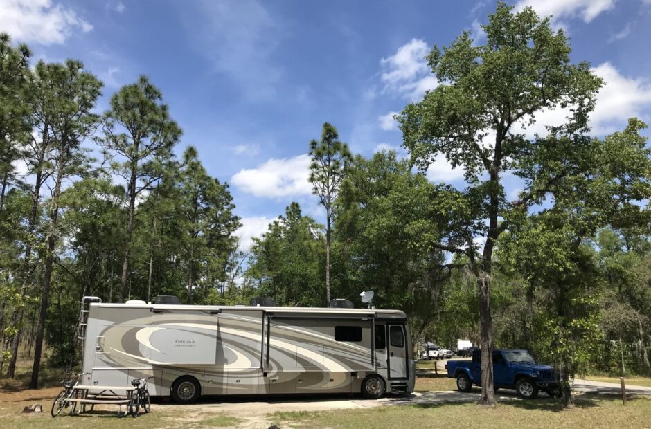
Portal RV Resort, Moab, Utah
Like a coating glaze over earthenware are fervent lips with an evil heart. ~ Proverbs 26:23
Today was a drive in and around our fifth of Utah’s Mighty Five National Parks. Here, we discovered vast and multiple canyons of mythical proportions and so, Canyonlands National Park has been duly dubbed by us . . . .
Mythical!
There’s a serpentine road that meanders throughout the Park, and that, along with a couple of stops to get out and stretch or look around, filled our day.
It was extremely warm again today. Add a hot flash, and I have a pretty good idea of how Shadrach, Meshach and Abednego felt! In case you don’t remember, these three were the prophet Daniel’s friends that got thrown into the fiery furnace by the Babylonian King, Nebuchadnezzar. When we were sharing Bible stories with our young boys, Blaine taught them the friends’ names by telling them – – Chad (because they have a cousin Chad) – rack (using his hands to form antlers on his head), Me (pointing to himself) – shack (pointing around to the house we lived in), and To bed we go! Hahaha! So creative! But they learned them. 😊
Once again, the suicidal bugs flung themselves at our windshield, making decent pictures almost impossible. But I did what I could, I fixed a few, left a few as is, and threw out the rest. ☹
Let’s get started, we’ve got a lot of ground to cover!


I think we’ll begin with this sign on Blaine’s bathroom door. He claims there was an actual hole in the floor to squat over. What?!? Why?!?!? Of course, there’s no picture to prove his claim. I would’ve taken a gross picture. : ) By the way, these bathrooms were outside the Visitor Center. They were pit toilets, but very clean, and supplied with hand sanitizer. Which just baffles me even more that they would put in a hole like that.


Our first stop was a place called “Upheaval Dome”. They really don’t know what caused this interesting area within the Park. I like the idea that a meteor fell and hit so hard, some lava-like liquid flew up in the air (like when you throw a heavy rock into the water) and hardened instantly. Maybe not very scientific, but I like it. Blaine just rolls his eyes when I say things like that. Sometimes, I get a reassuring, condescending hug out of him too. 😊

We’re going to both Overlooks.
No need to even consider the rim trail, because the signs says you can’t even see the formation from it.


The lighting was bad right now, so we moved on to the second overlook first.


I’m saving one and two.
And the shorts are also for hot days.
They used to fit, but now, three years later, they’re three sizes too big.
I’m not complaining. : )


We drove to Whale Rock intending to walk the trail, but after a few minutes, we decided not to spend a lot of time here, and turned around. The problem was, we lost track of the cairns. With only Blaine’s incredible sense of direction, we walked in the general correct direction, and eventually discovered the Jeep. Whew!


We’re still a long ways from there, even though it doesn’t look like it.

Let’s head back.
On to the Green River Overlook. The Green River is the main tributary of the Colorado, having its head waters in Wyoming and sort of parallels the Colorado in this area, until they meet.


We never knew he only had one arm!


We walked around the viewing area after we picked our jaws back up and put them in place!


but it smelled like cat urine.
Peeee-eeeeww!


it actually has some interesting information on it too.


As we were driving, I looked over the brochure we received when we entered the Park and found mention of an ancient pueblo granary, so we stopped there to check it out. Good to look at something other than just vistas for a change. But I had some trouble with the trail once we were by the granary. Steep, relatively smooth rocks and I don’t get along. They make me very nervous! But I did it. Despite the unwarranted anxiety that tries to creep in and take hold of me.


Otherwise, I’d still be there. : )
Look at this great lunch spot we were able to snag! And the views from the table were incredible! Since it was still a little early, we left the Jeep and went for a walk to the White Rim Overlook first.


That sign’s almost helpful . . .
Think they need to replace it – – and soon!


Whatever it is, it doesn’t come off.
We’ve not seen this before.

See all the dots under Blaine and along the rest of the edge?


See the road around the edge? That’s called the White Rim Road, and you can drive it with a 4WD vehicle.
It’s 100 miles long though, we plan on tackling some of it in the next couple of days.


When we returned, we dug out our lunch and sat at the table.
For about 90 seconds.
That’s how long it took the gnats to find us. We couldn’t possibly eat like that, unless we were interested in ingesting extra protein and getting eaten up ourselves. So this became our view, from the safety of our Jeep. ☹ And once again, we wondered about how tent campers manage.

After lunch, it was a drive to Grand View Point and another short hike to phenomenal views! Along the way, we passed by a man and a couple of kids who were off trail. And he was holding a hatchet in his hand! There’s certainly no possible good reason to have a hatchet with you on this trail. And he definitely didn’t want us to see whatever it was he was doing, because he turned his back and stood still as soon as we came into view. If there’d been a Ranger anywhere around, I woulda snitched. Sometimes I wonder what’s wrong with people!


but as long as our mouths still drop open, and we’re still praising God for creating all this,
I think we’re good. : )


The rest have been added to by people. This was a particularly high one. : )


Well, that single pole down there is it. Can you believe it?
It sure doesn’t look like the length of a football field from here!


We’re done in Canyonlands for today, but we’ve still got some sight-seeing to do. We’re about to drive a Jeep road called Gemini Bridges, because it leads to twin arches. This part of our day took place in BLM land (Bureau of Land Management – a branch of the National Park Service).


One is on the left of that hole, the other’s on the right.


The end of our drive home continued on Gemini Bridges Road which turned into one of the scariest stretches of road we’ve ever been on. Sooo narrow! And what if someone comes the other way? Which they do. I can’t remember if anyone did today. I think I may have passed out for part of it . . . .


Somehow, we have to get to it in order to get home.


Is it any wonder I didn’t get out???
Yikes!!


Doesn’t look so bad from here, does it?
A full day in Canyonlands, but we’re not done there yet. We’ll be back!